Bay Area Hiker was created to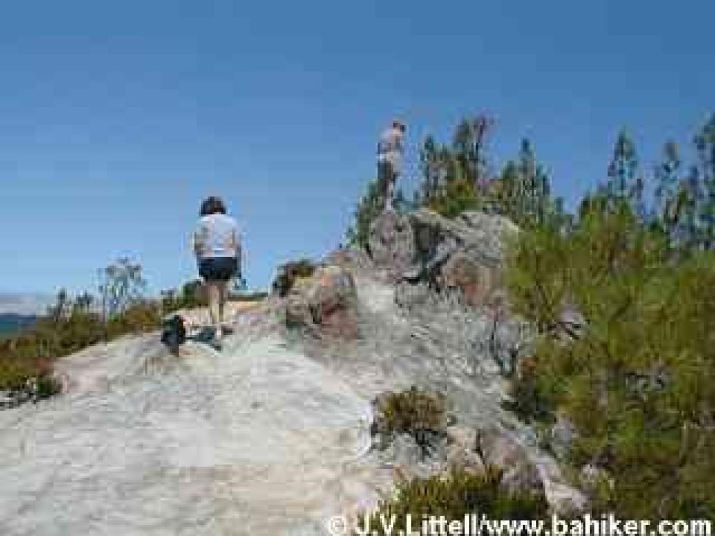 fully explore the diverse and wonderful spectrum of hiking in the San Francisco
bay area. This is a work in progress, so if you want to share your thoughts
about any hikes that are not yet featured, drop me a line.
fully explore the diverse and wonderful spectrum of hiking in the San Francisco
bay area. This is a work in progress, so if you want to share your thoughts
about any hikes that are not yet featured, drop me a line.
Featured hikes will range geographically from around
Robert Louis Stevenson State Park to the north, to Mount Diablo in the east
bay, Henry Cowell State Park to the southwest, and Henry Coe State Park
to the southeast.
The centerpiece of this site is the hikes. Each
hike has its own page. To start out, I'm attempting to feature one hike from
each trailhead (I use that term to refer to the starting point for each hike).
Some locations have multiple featured hikes. Information about other hiking
options from each location are included within each featured hike's page.
What is a hike?
Most hikes take place on trails, rather than wholly
on paved paths. Paved paths are great for cycling, and popular for joggers,
and family outings. In my mind, they aren't the optimal locations for a
hiking experience. Besides, a long walk on pavement hurts my knees. (However,
an all-access hiking page has been created for
wheelchair/stroller users.) A hike takes you away from the hustle and bustle
of organized sports and picnic areas, and so strolls through locations like
Flood Park in San Mateo County are omitted.
Your mileage may vary.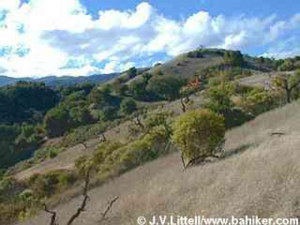
The shortest hikes at bahiker.com are under 2
miles. The longest ones are no more than 15 miles. Most hikes come
in at around 4-6 miles. I hesitated to designate a hike as easy/moderate/strenuous,
because I find myself constantly disagreeing with those labels in most hiking
guides, but many readers requested this feature. If you have "issues,"
read the description of the featured hike before you go. Some hikers climb even
the steepest hills like mountain goats but then whimper about their knees all
the way down a grade. Others like flat hikes, get hot and cranky in the sun,
and every other possible variation. If you're an experienced hiker, I suggest
you check out the photos on the hike pages; you probably know what kind of hike
you're looking for. For those who are new to hiking, try out a few short
hikes around the bay area and see what you like.
How the hike pages are set up:
• Directions to the the trailhead, and other pertinent information (are
there any bathrooms?) comprise the introductory paragraphs.
• The first photograph was taken at or near the trailhead. This is
to give you an idea what the hike will "feel" like, and also to help you find
the correct starting point.
• The other photographs were chosen to best represent the hike.
• Mileage is approximate. (The GPS seems to work swimingly most of the
time; sometimes mileage is based on the GPS, while for other hikes I've relied
on the mileage reported by the management agency)
I have hiked all these trails myself, and taken
each photograph (with a succession of Nikon digital cameras;
read more about the current camera at Amazon.com / read
more about the old camera at Amazon.com). Any mistakes are mine. If you
come across errors and/or trail conditions that merit a change to this site,
or can fill in the blanks for any missing information (particularly plant identification
and trail mileage), please e-mail me at [email protected].
Note that all content (including photos) is protected by copyright, and use
of content is prohibited without consent.
Happy hiking!
Jane Huber