| Photos
from an April 2000 hike at Sunol Regional Wilderness (click on an image for a larger view) |
|||||||||
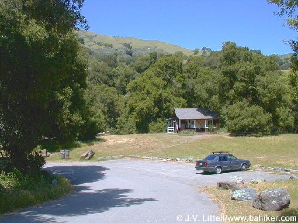 Intrepretive Center |
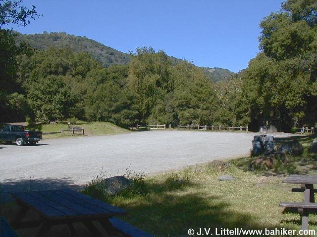 Main parking lot |
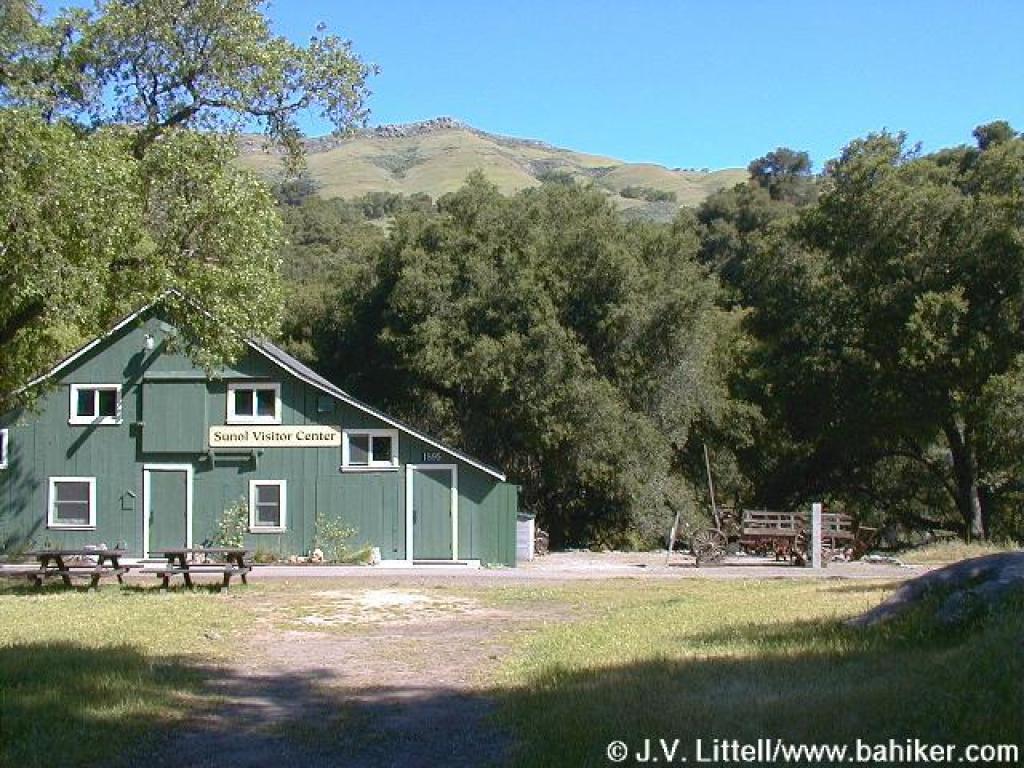 Visitor Center; path to trails starts to the right of the building |
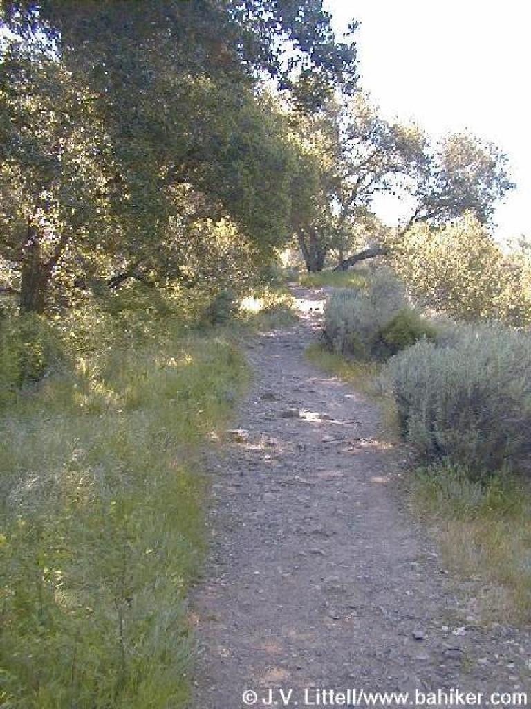
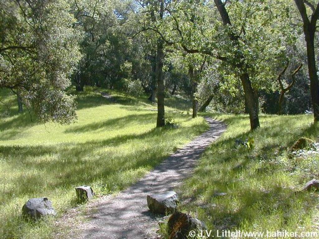
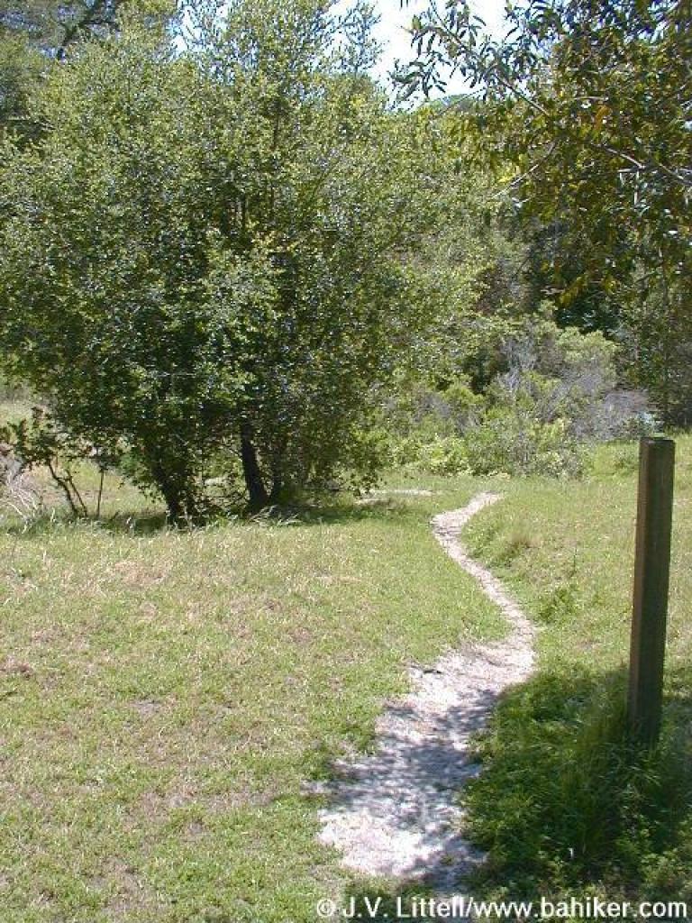
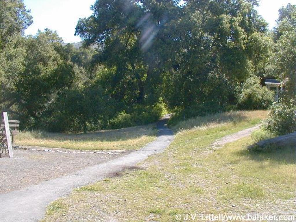 Path to trails |
||||||
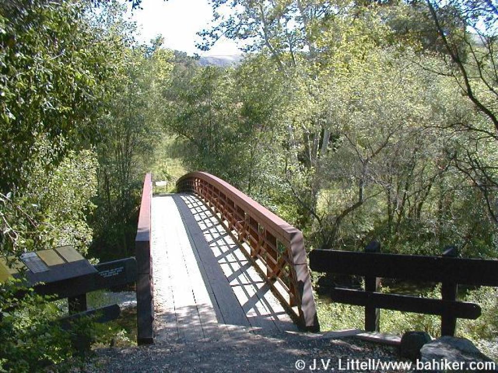 Bridge crosses creek |
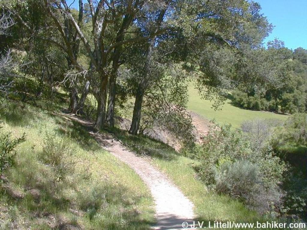
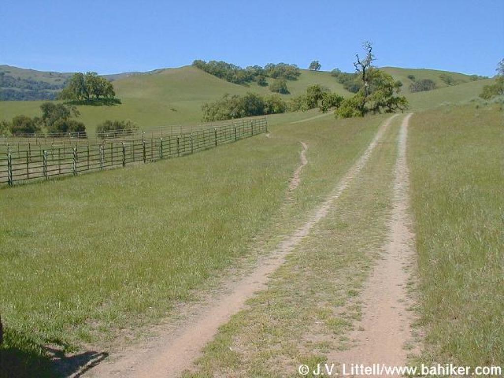
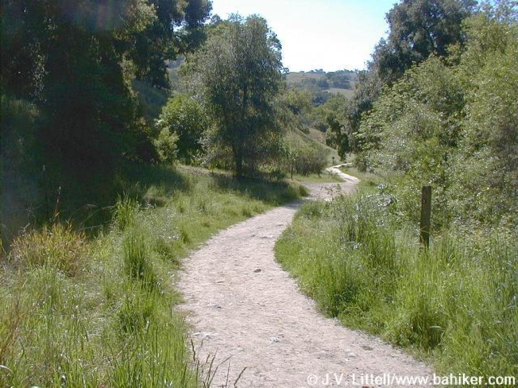 Canyon View Trail |
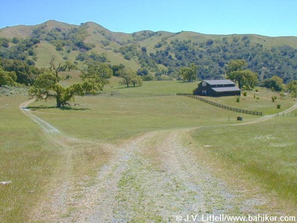
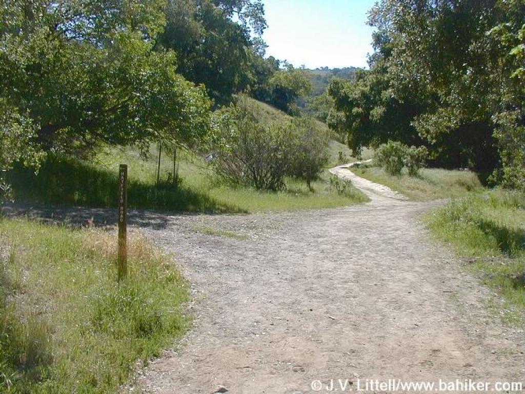 Junction with Hayfield Road |
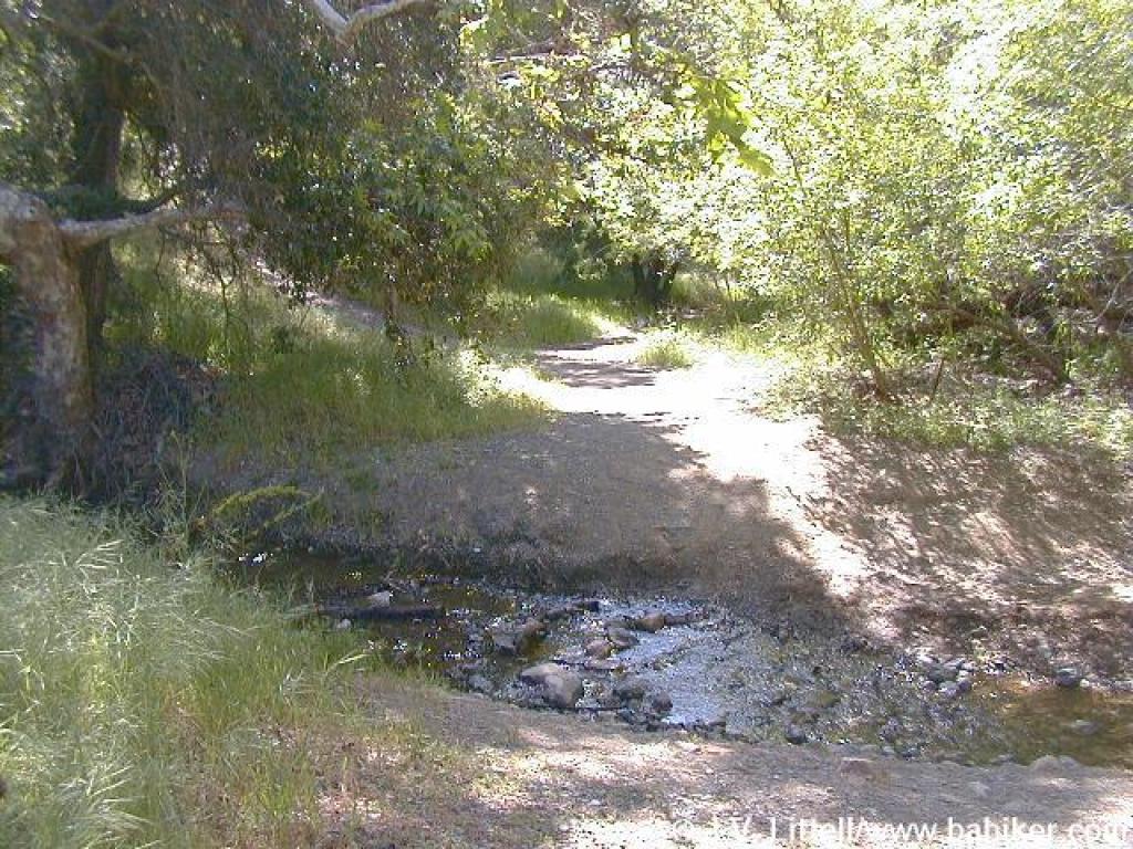 Water crossing |
||||||
 Junction with Indian Joe Trail |
 Uphill |
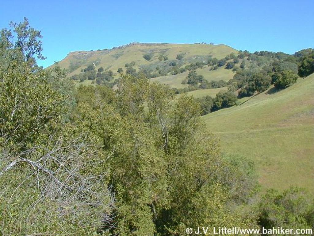
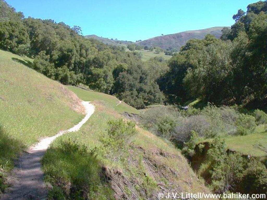
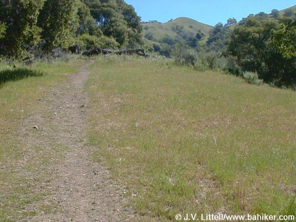
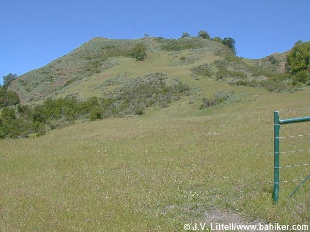
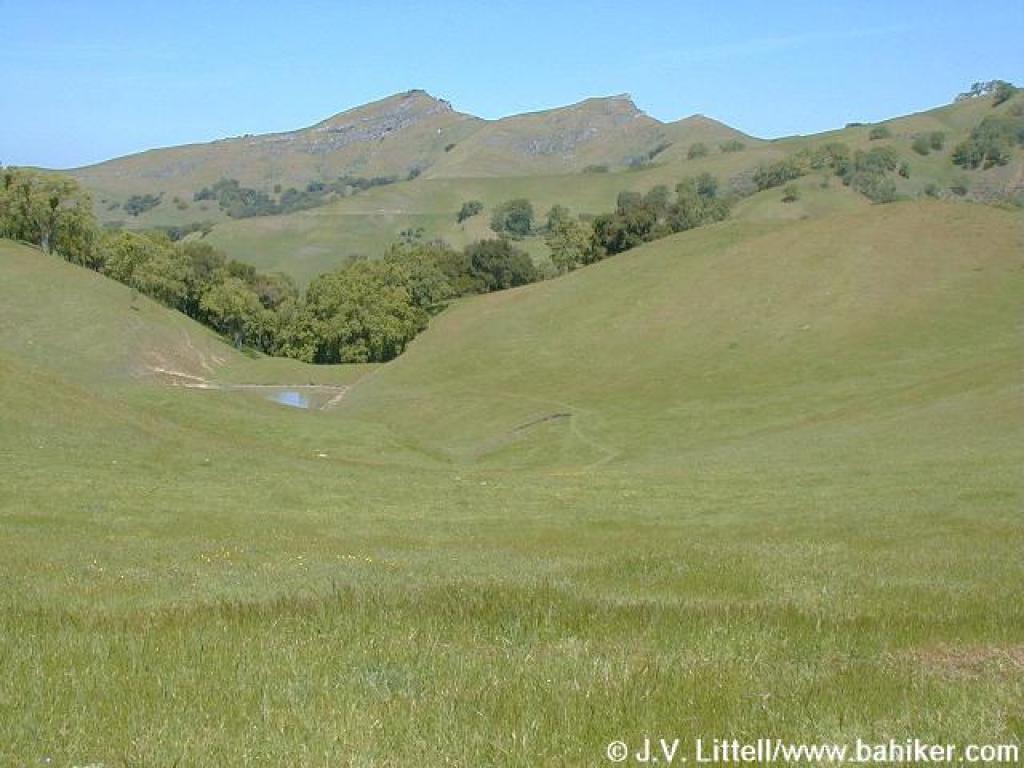
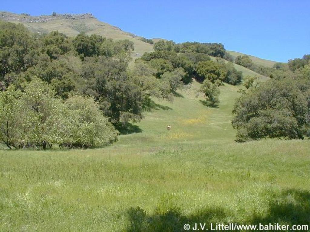
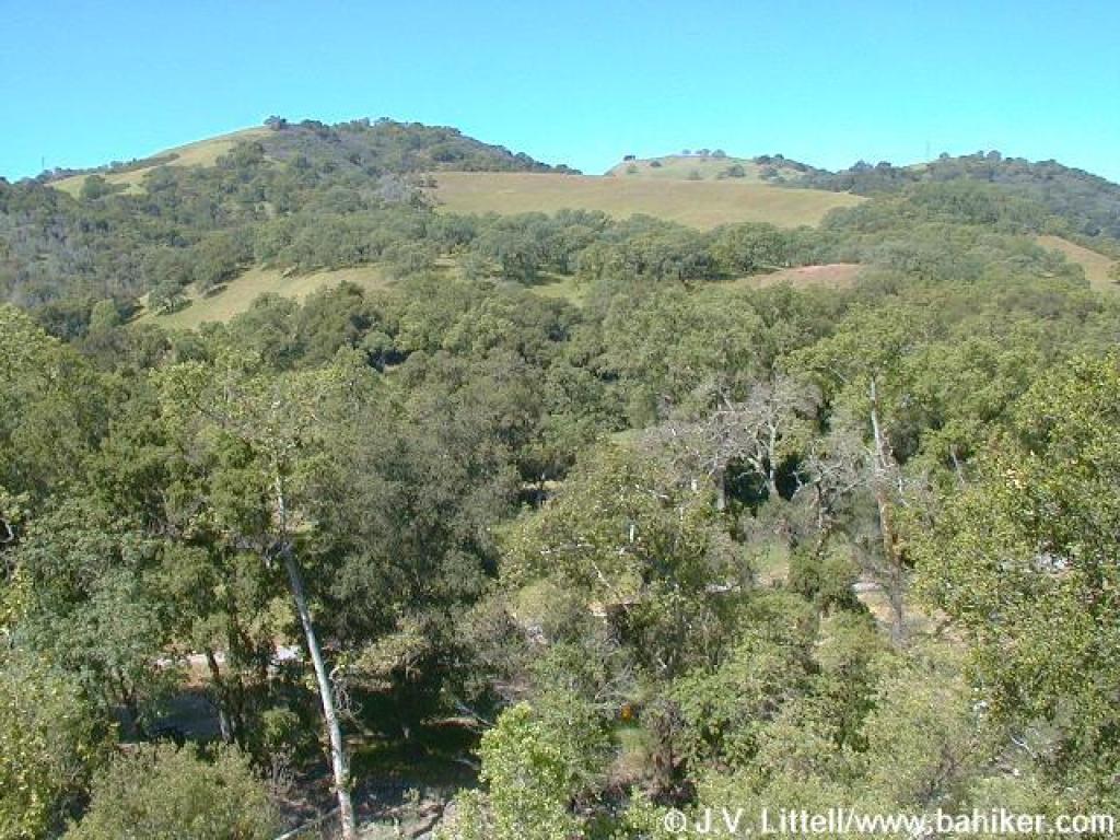 View |
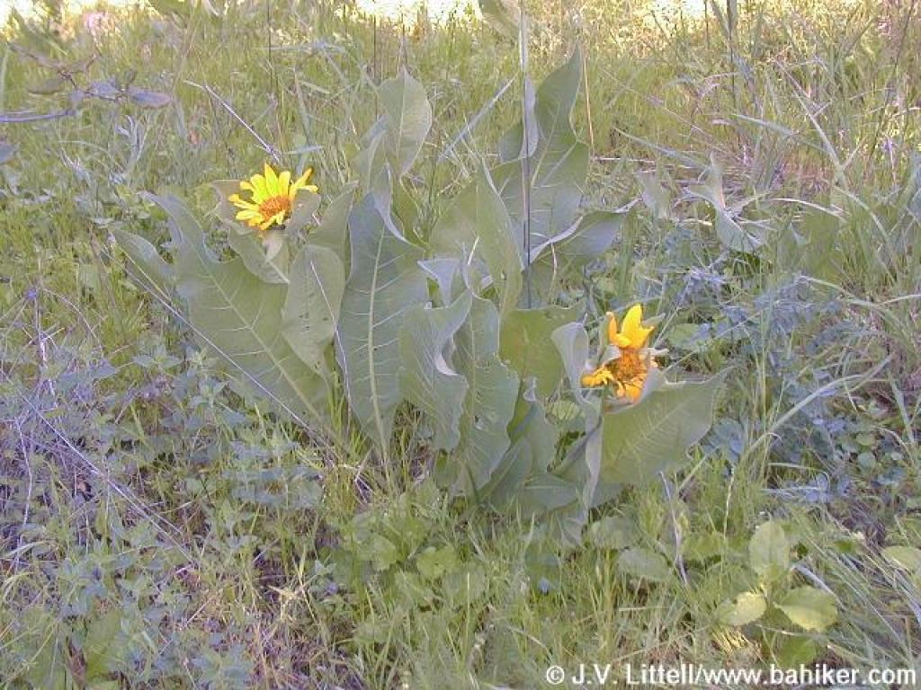 Mule ear sunflowers |
||||||
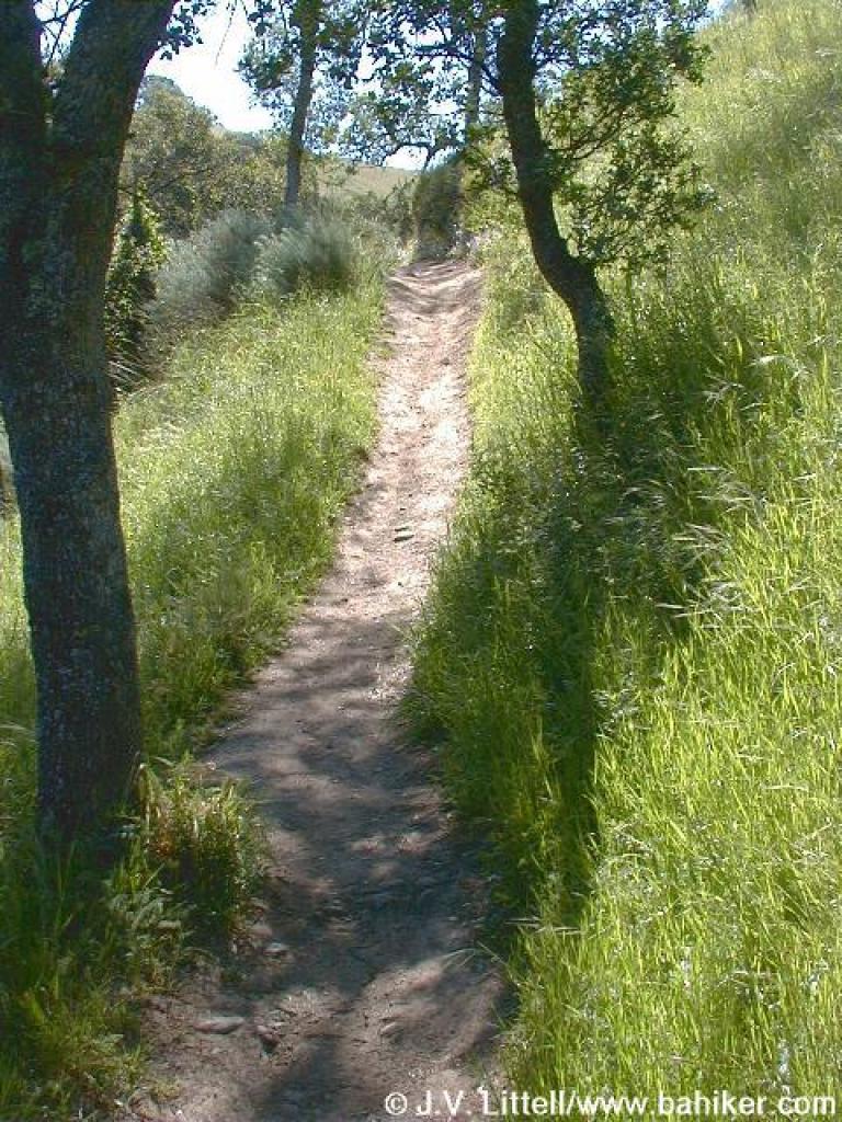
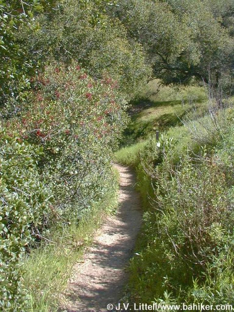
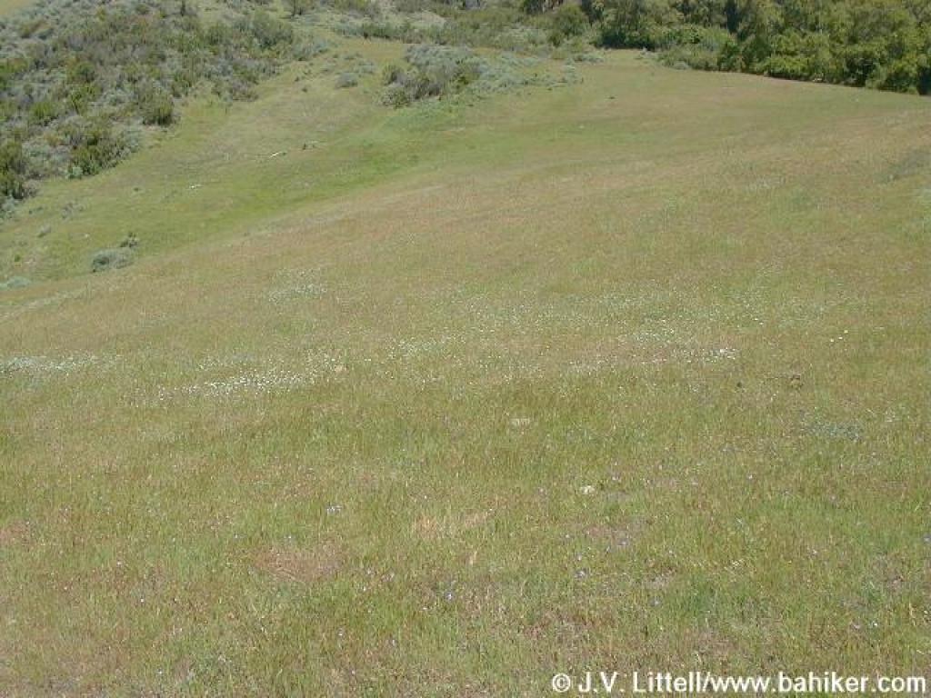
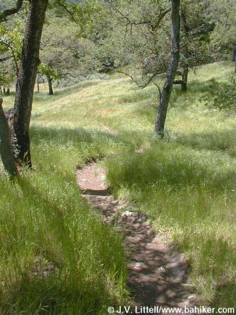
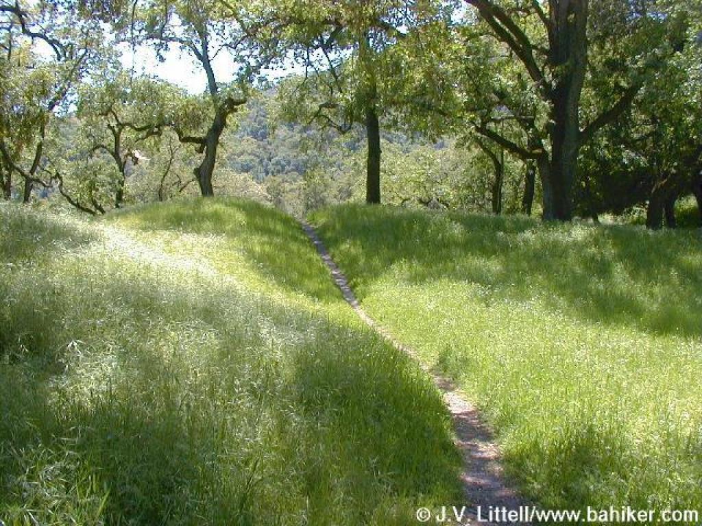
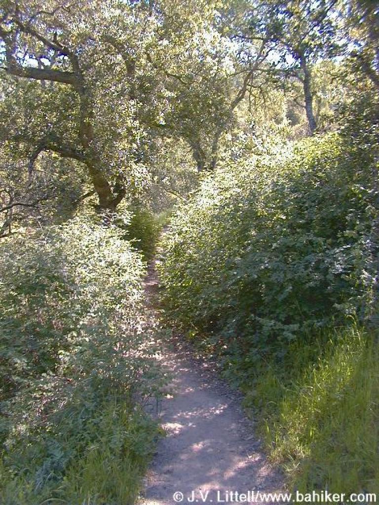 Shrub-choked trail |
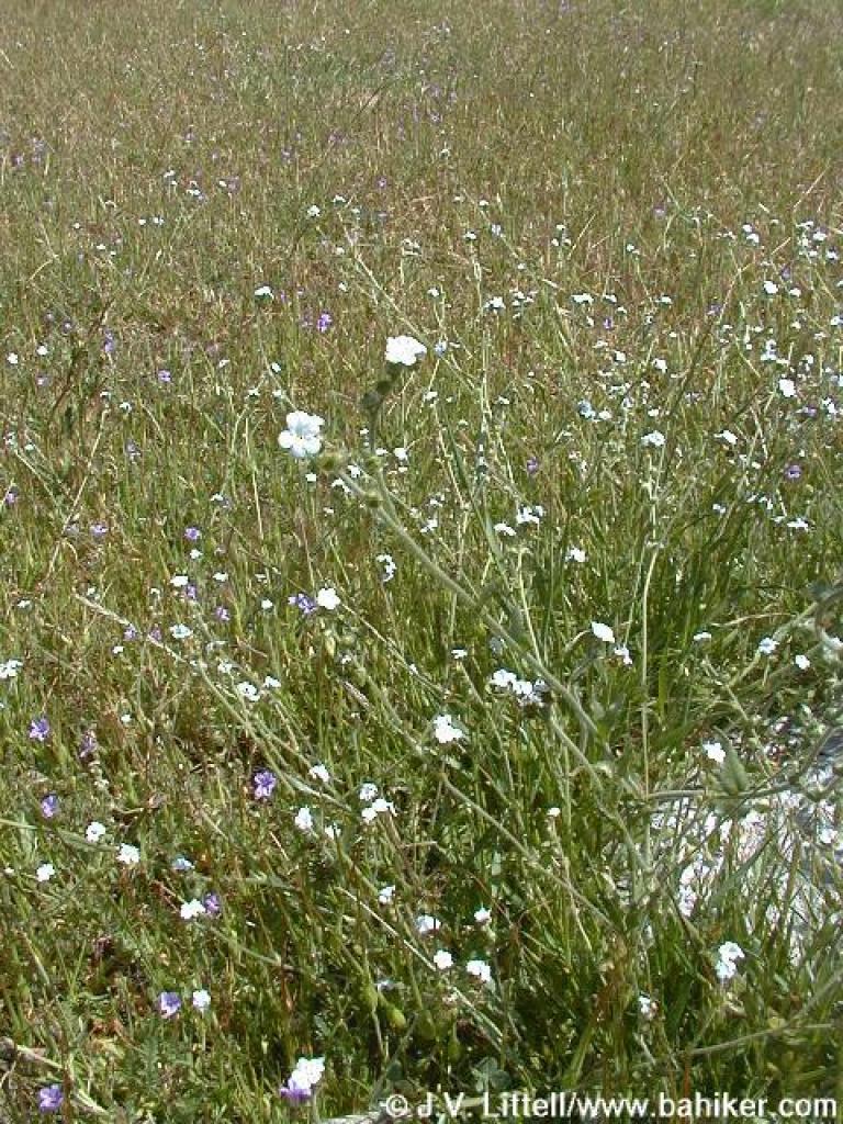
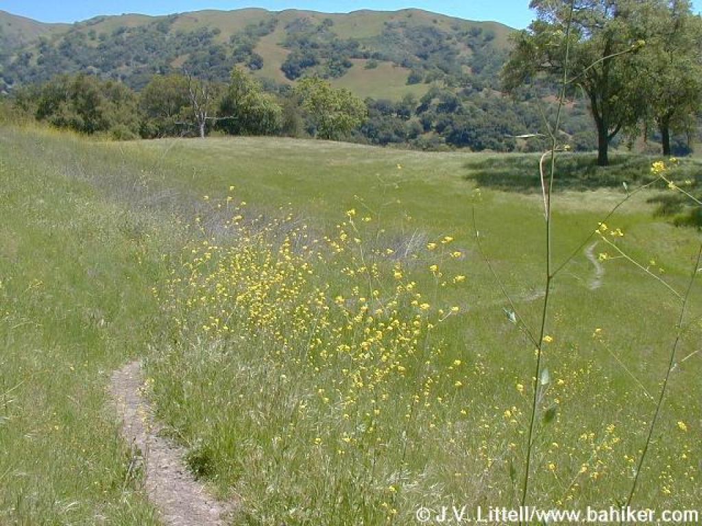
 Lots of flowers here |
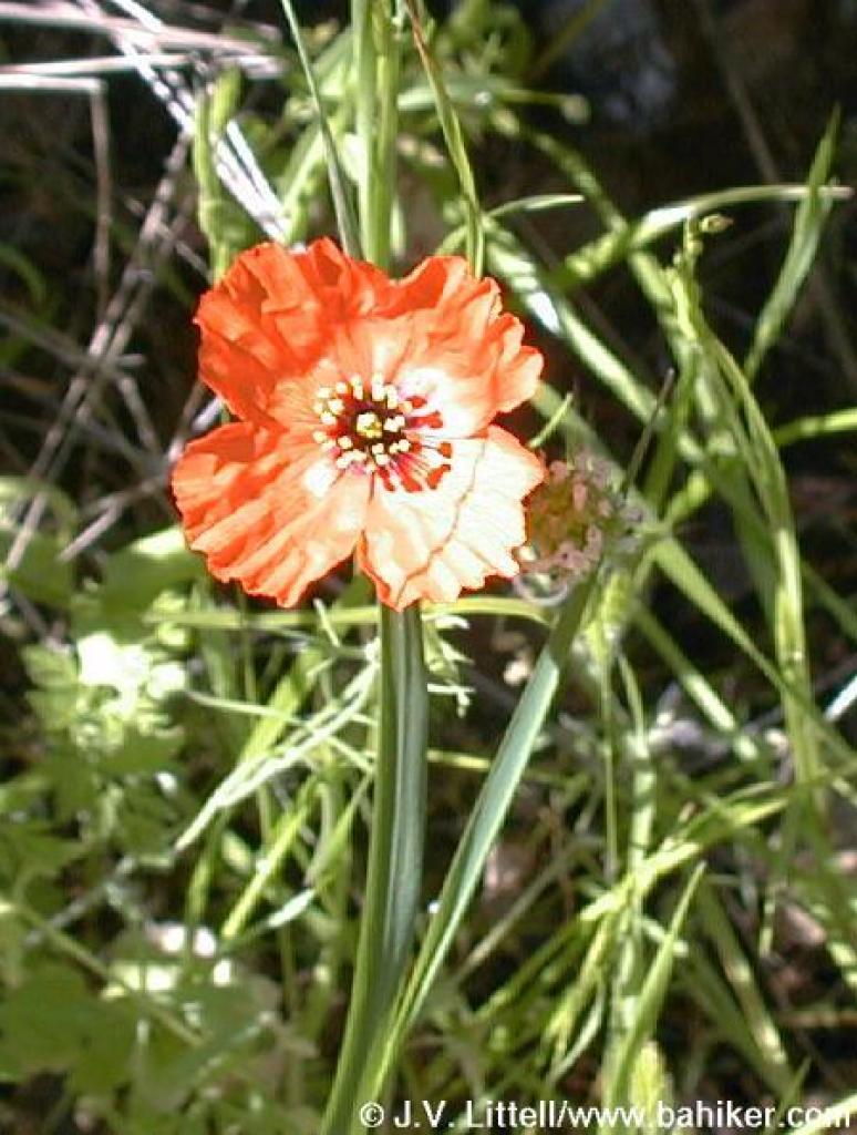 Wind poppy |
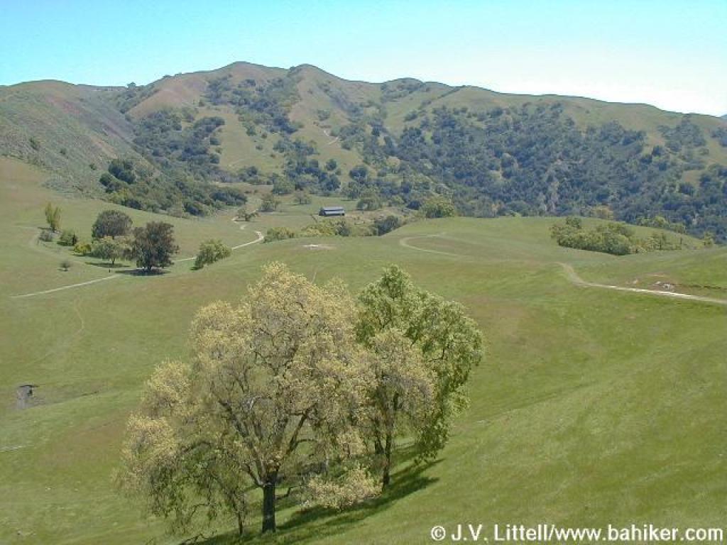
 View uphill |
||||||
 Chinese Houses |
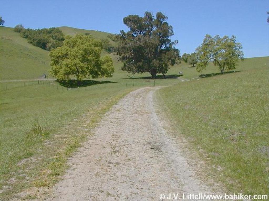
 Junction with Canyon View Trail |
 Toyon on trail |
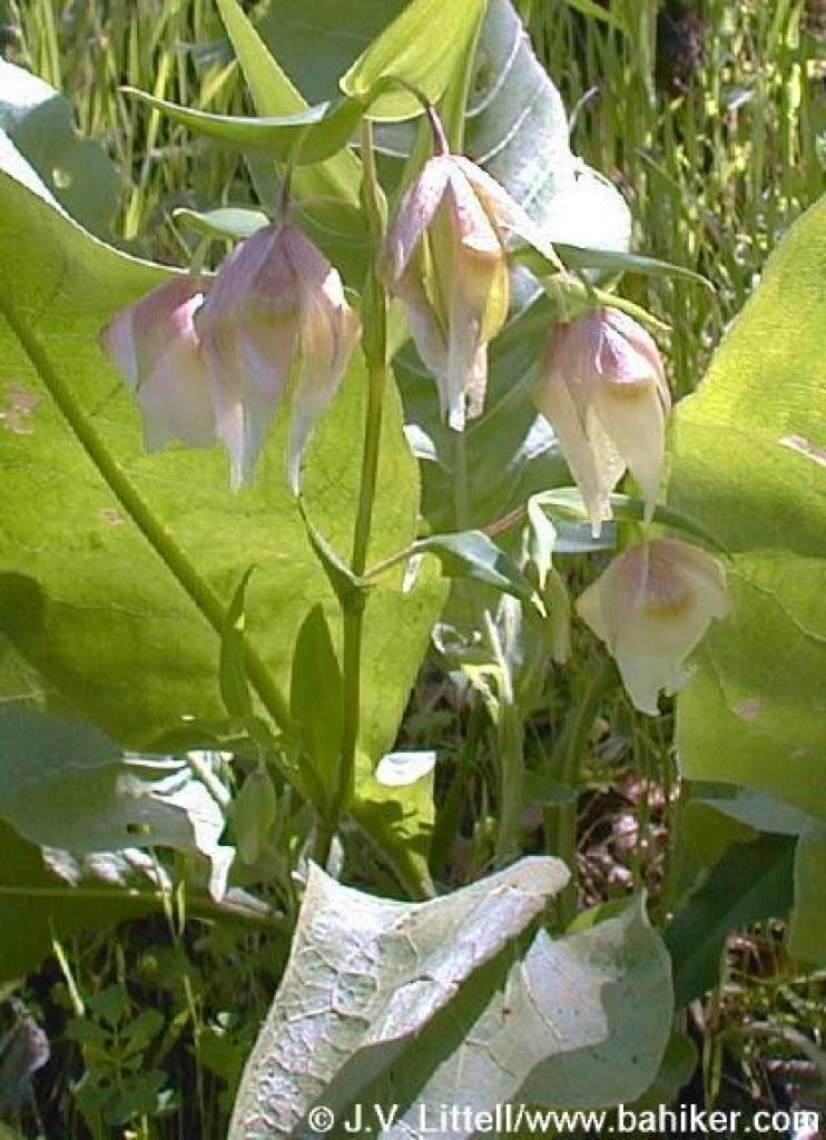 Fairy lanterns |
||||||
 Along creek |
 Spooky sycamore |
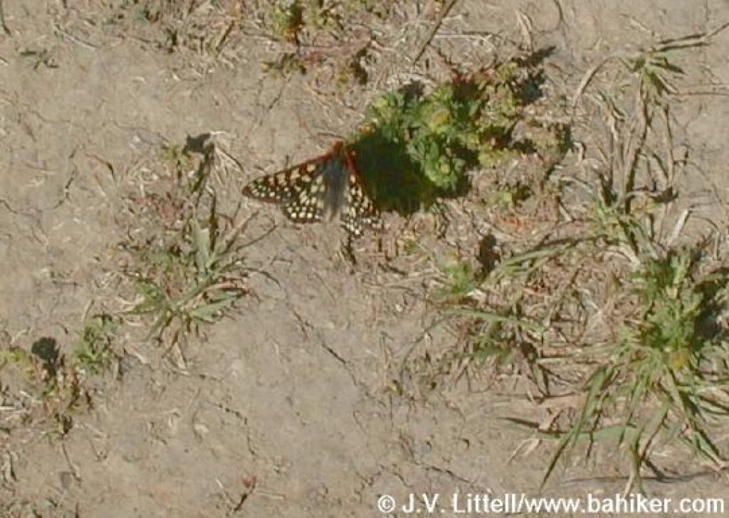 Butterflies are common in spring |
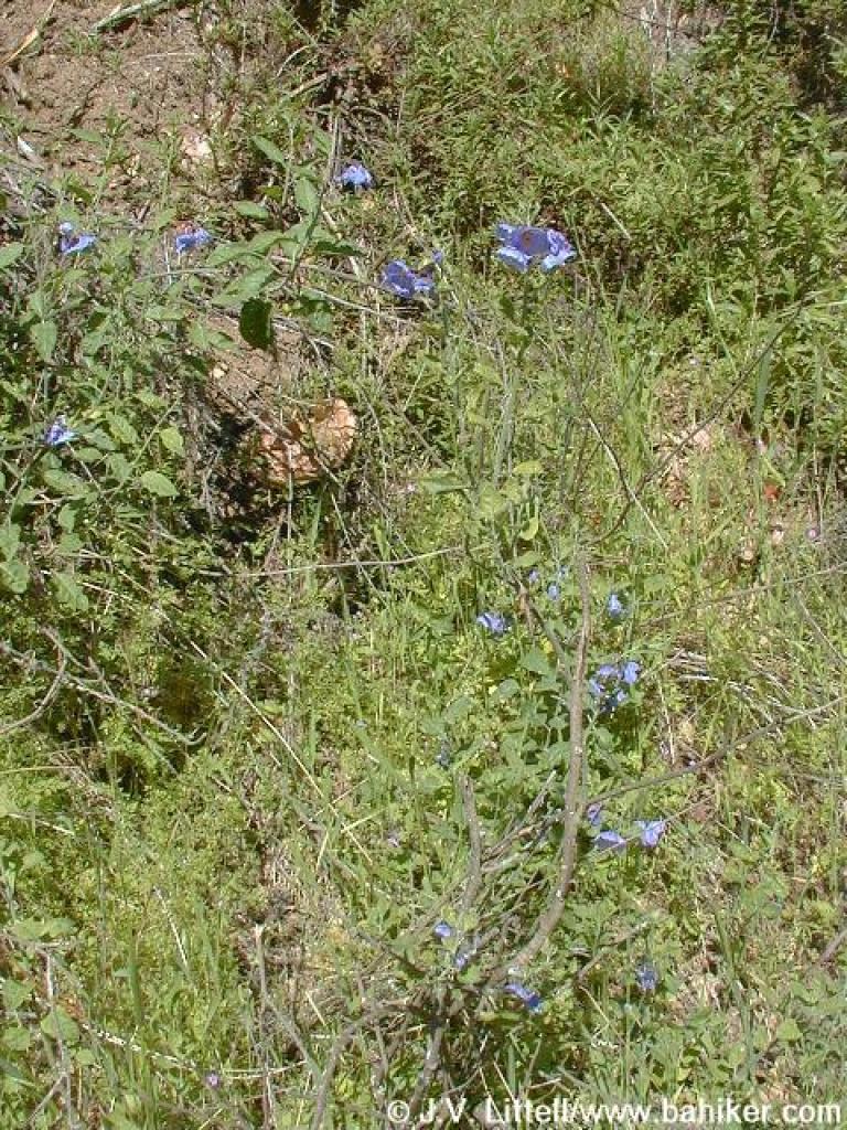 Blue witch nightshade |
||||||
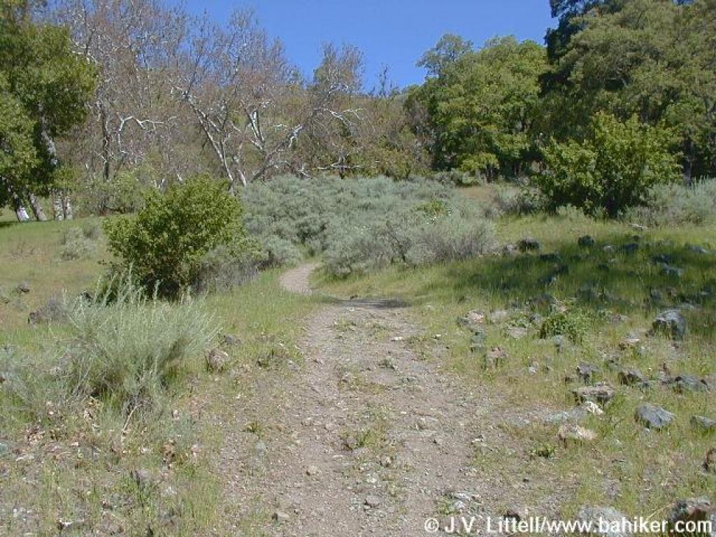
 Winding through sagebrush and oaks |
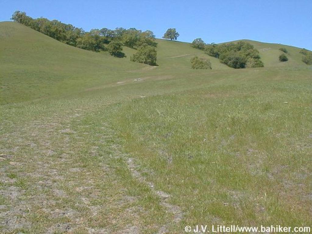
 Last bit of grassland for awhile |
 Bluedicks |
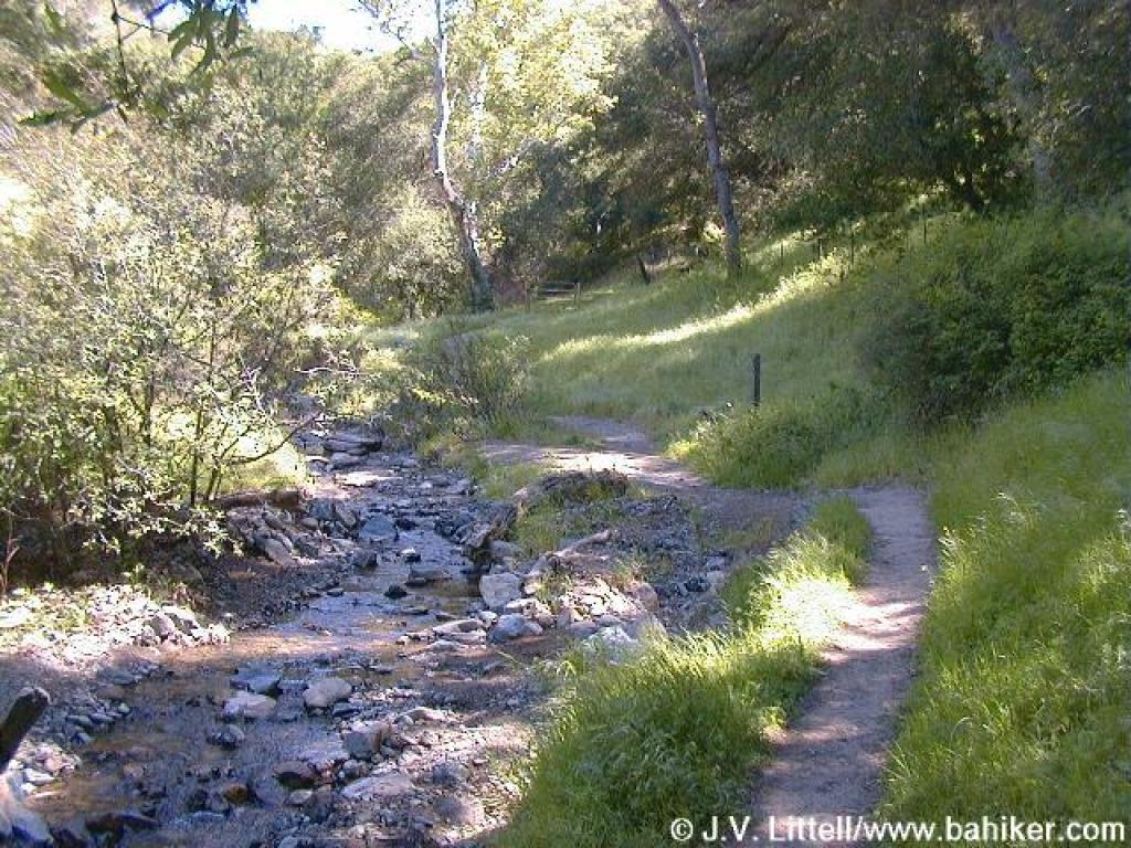
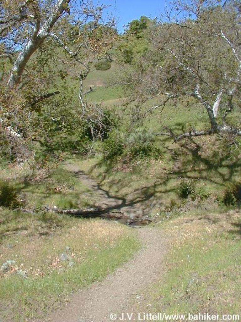
 Creek crossing |
||||||
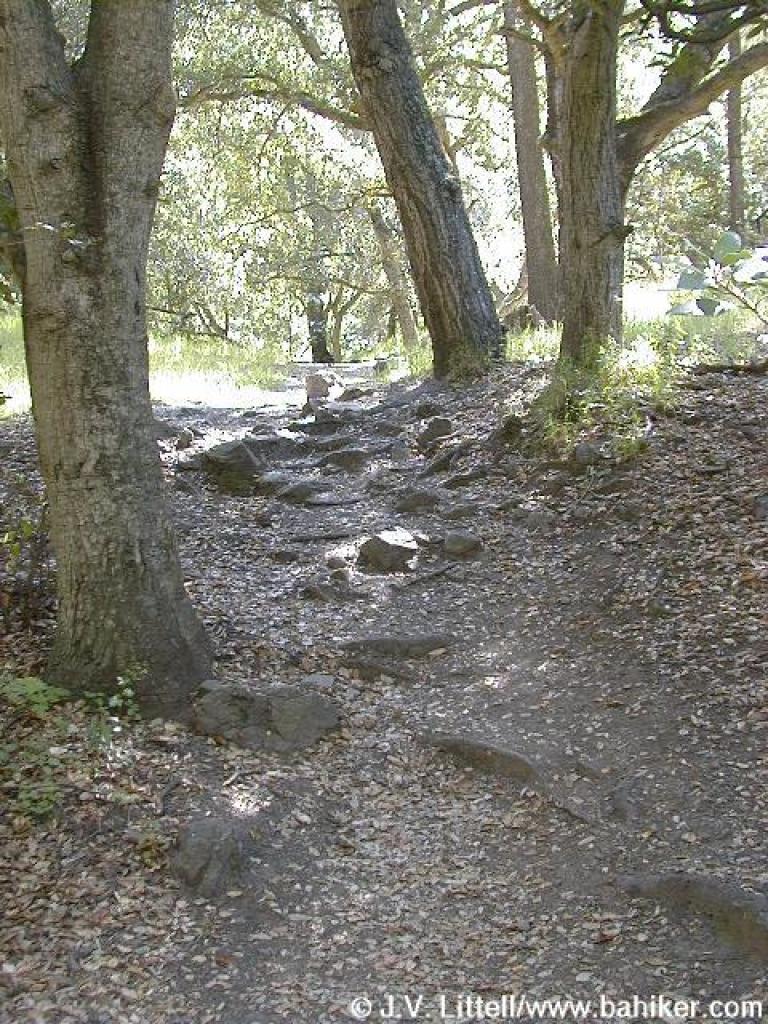 Rocky uphill stretch |
 Indian Joe Trail |
 Up, up, up |
 Spur to Hayfield Trail |
||||||
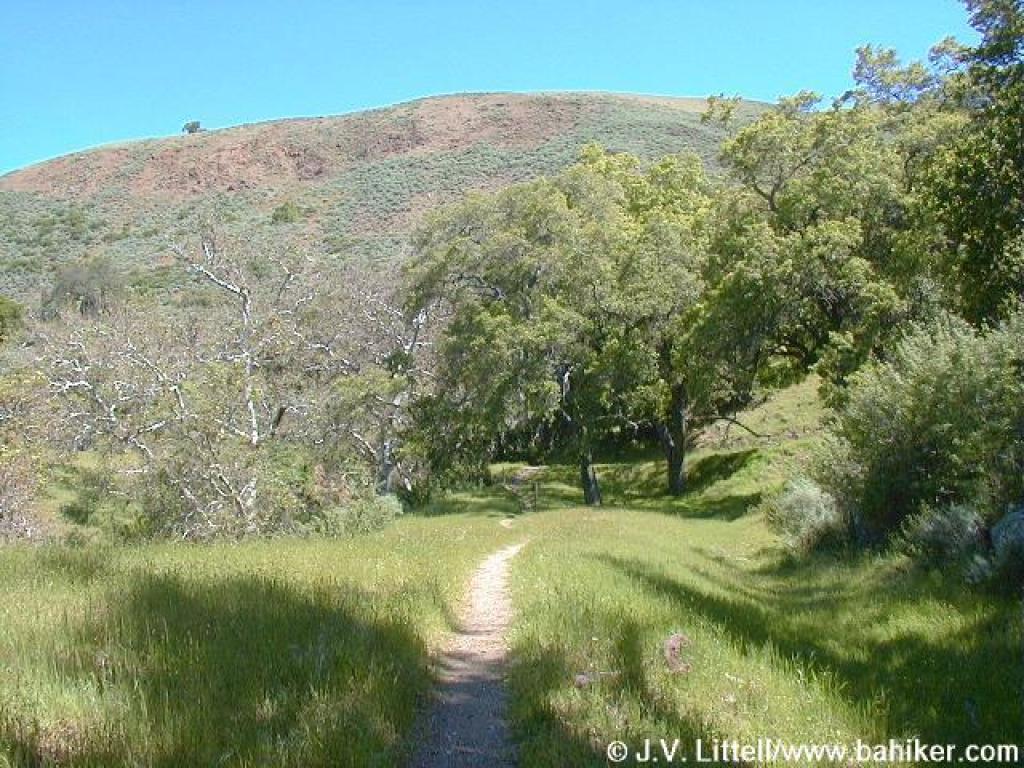
 Through sagebrush |
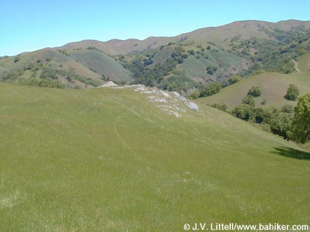
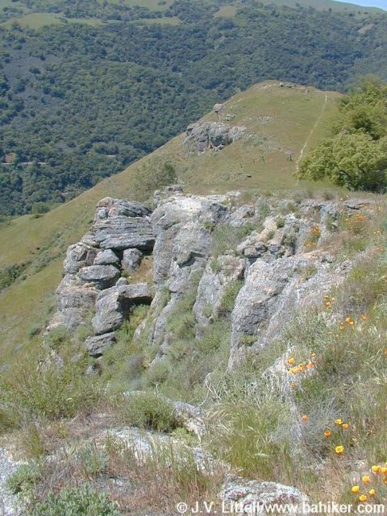
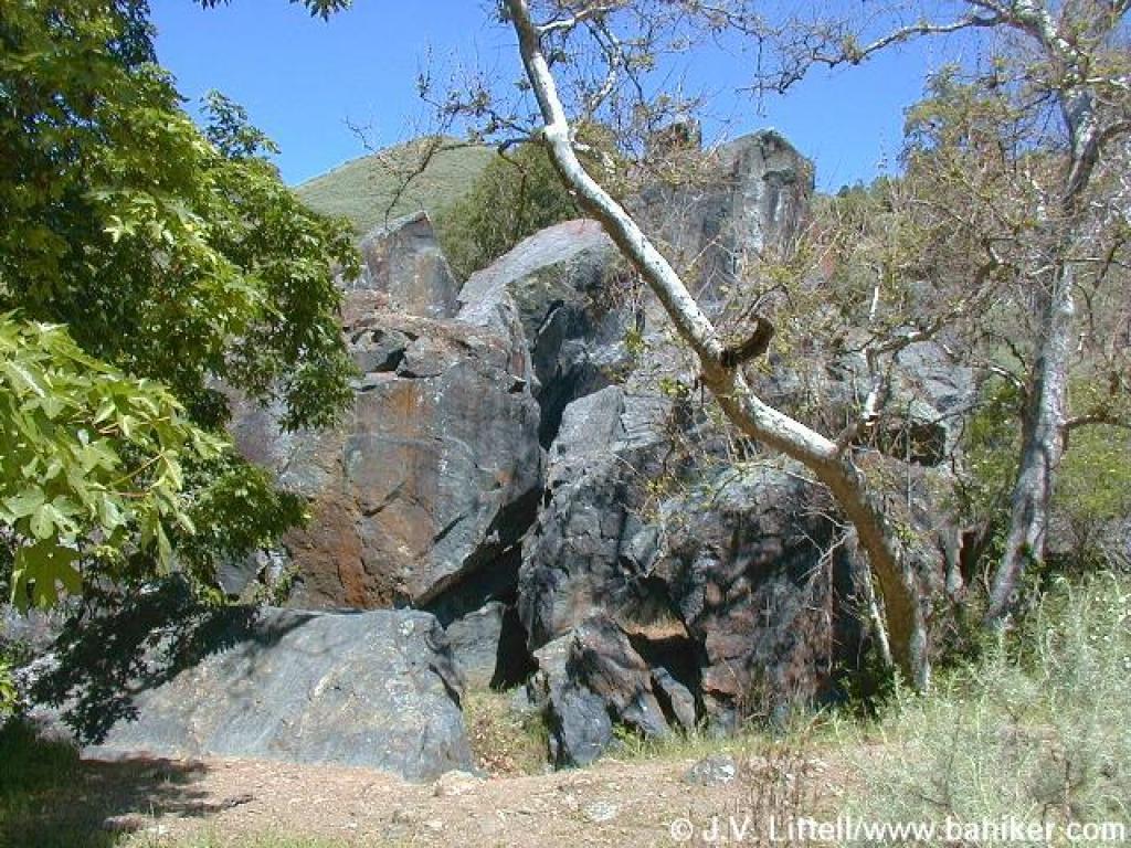 Rocks! |
 Near junction |
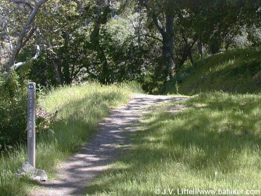 Junction with Cave Rocks Road |
||||||
 Cave Rocks Road |
 Looking uphill to the north |
 Popcorn flowers carpet the grass |
 Popcorn flowers |
||||||
 Lone oak along trail |
 Turtle |
 Approaching High Valley Group Camp |
 Cave Rocks Trail |
||||||
 Looking back, with Hayfield Trail heading to the right |
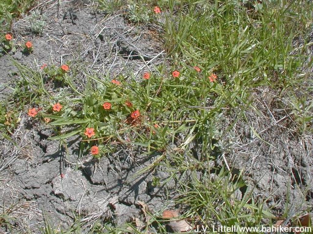 Scarlet pimpernel |
 One giant eucalyptus tree near the junction |
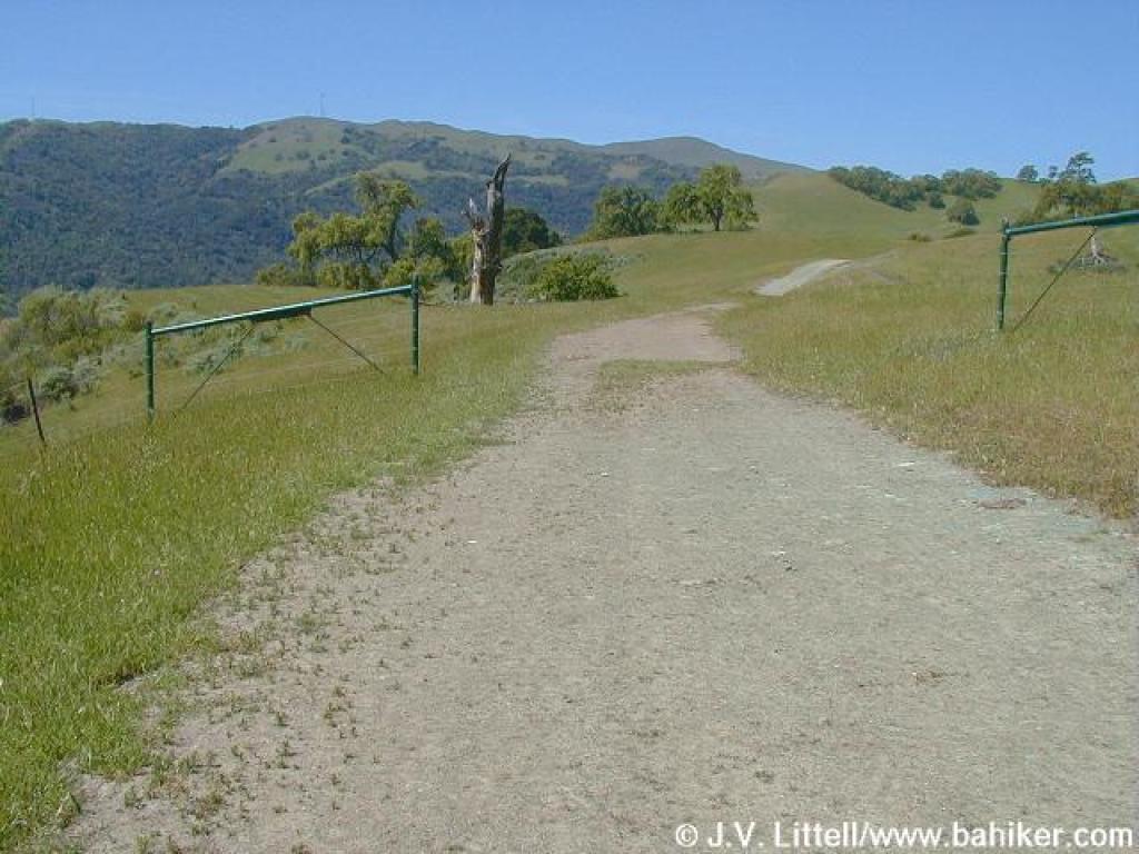
 Flag Hill Road |
||||||
 Start of the climb |
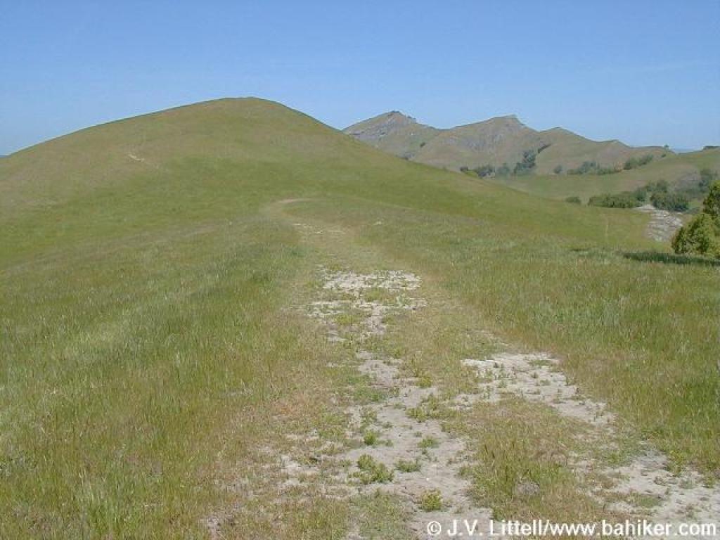
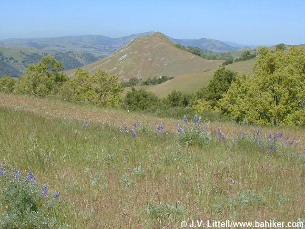
 Looking toward Maguire Peaks |
 Flag Hill Road |
 Looking back |
||||||
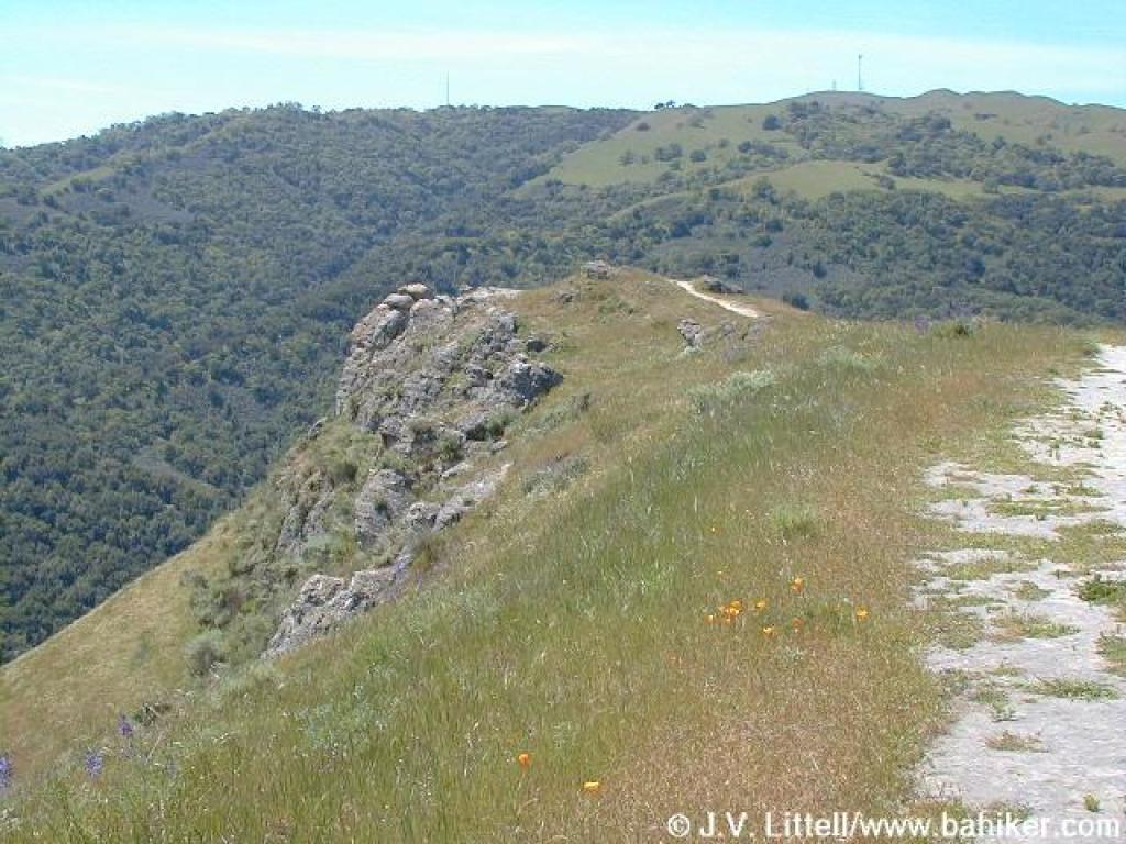
 Rock outcrop |
 Trail levels out |
 Looking back |
 Enjoying a flat stretch |
||||||
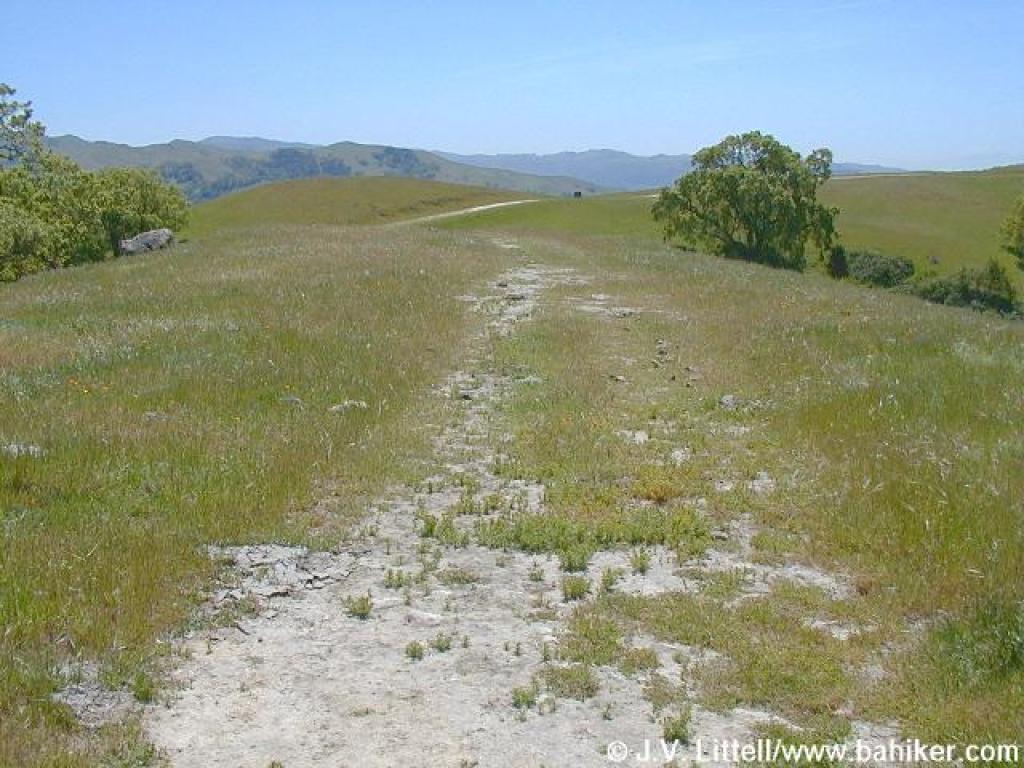
 Looking downhill |
 Poppies and lupine |
 View northwest |
 Flag Hill |
||||||
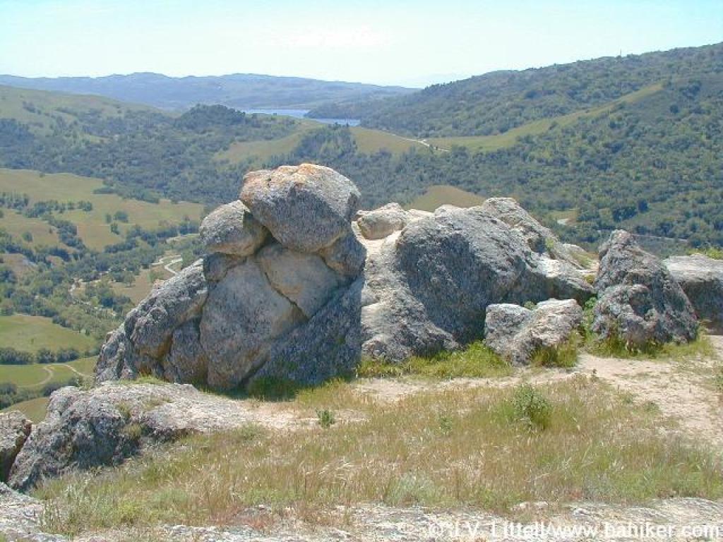 Rocks make a great rest bench... |
 with a view |
 More rocks |
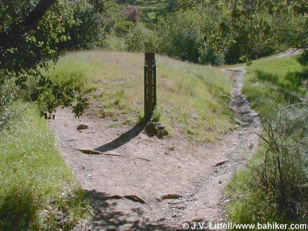
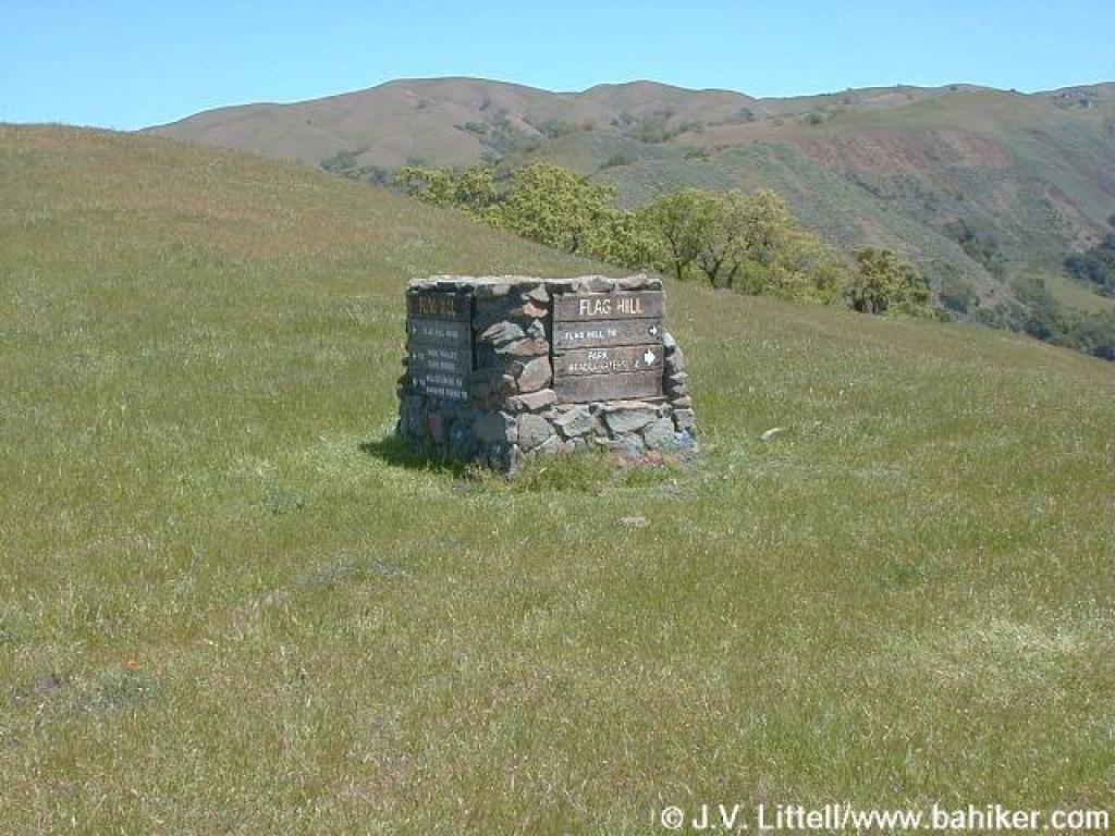 Signpost at junction |
||||||
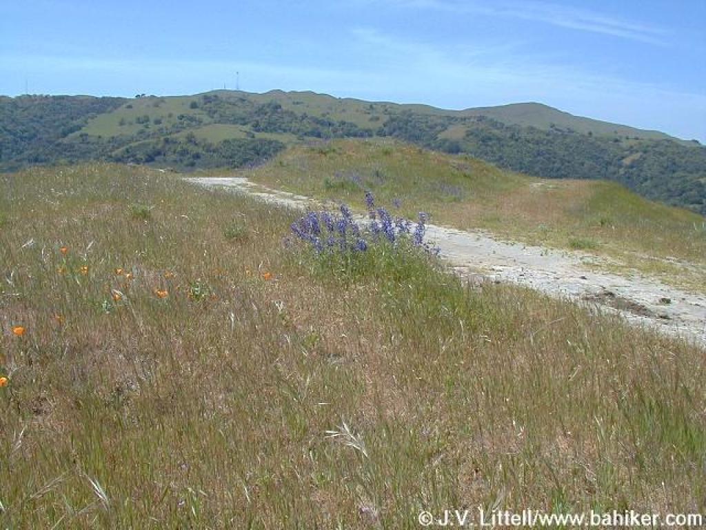
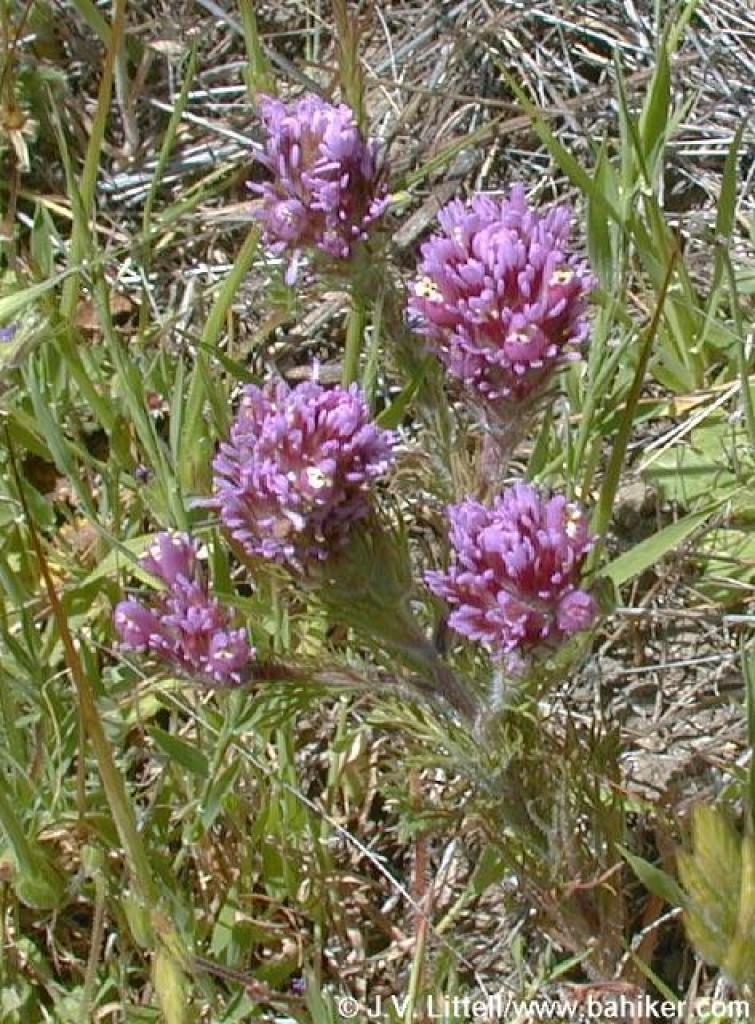 Owl's clover |
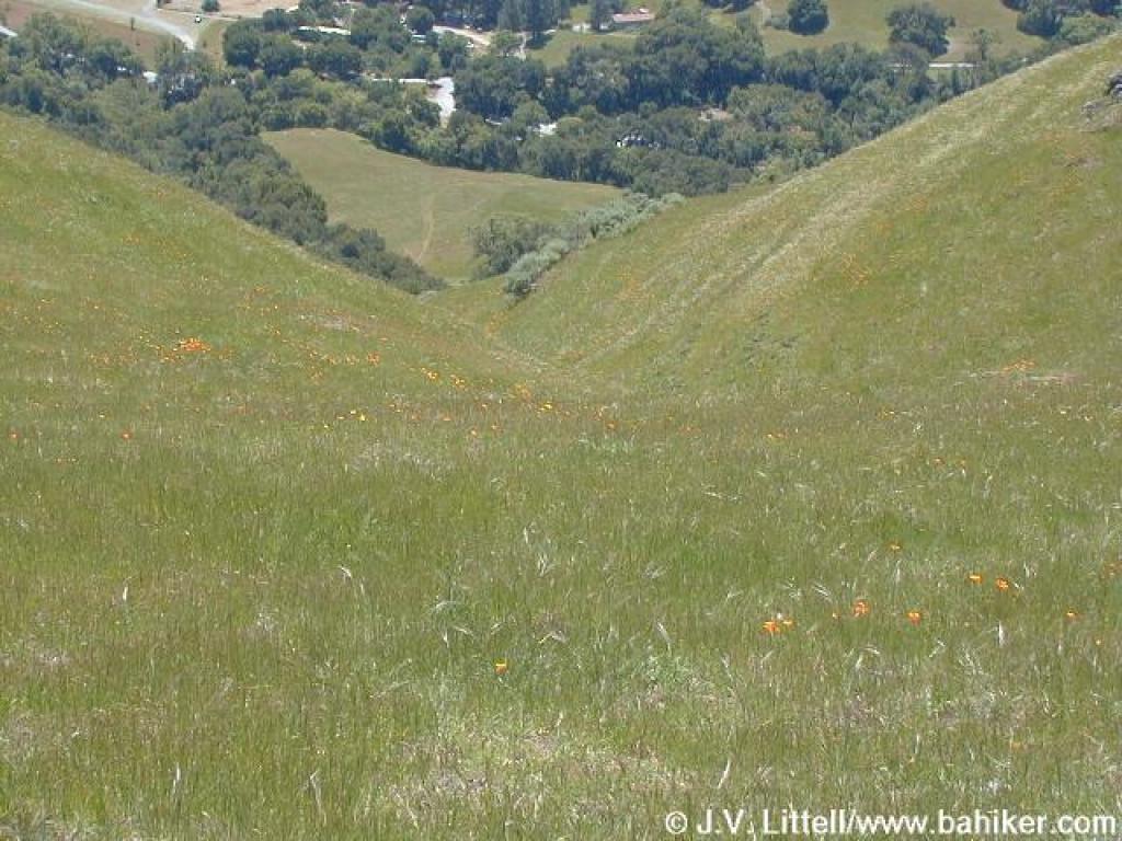 Poppies dot the crease between hills |
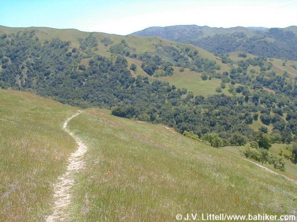 Flag Hill Trail |
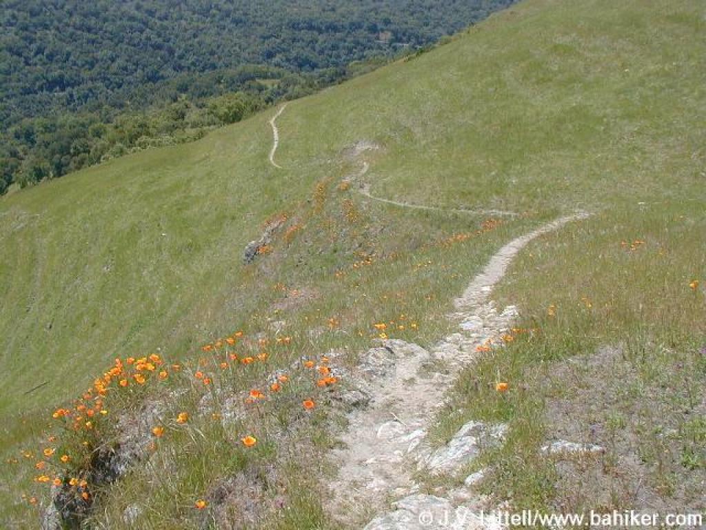 Trail and poppies |
||||||
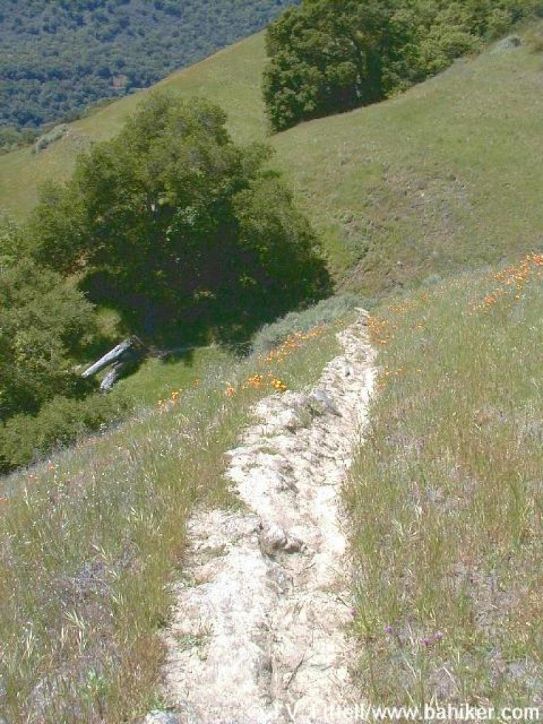 Steep descent |
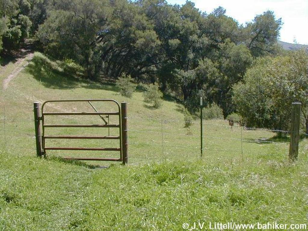
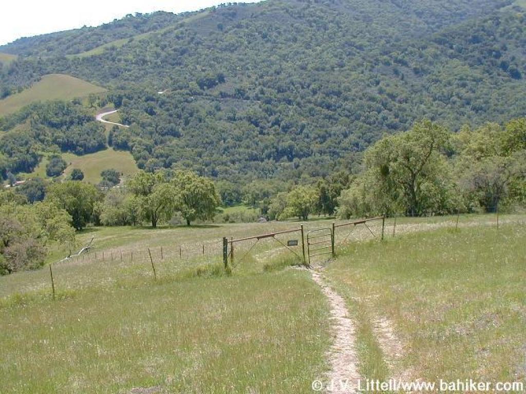 Cattle gate |
 Heal the Hill sign |
 Through tall grass... |
||||||
 and tall flowers |
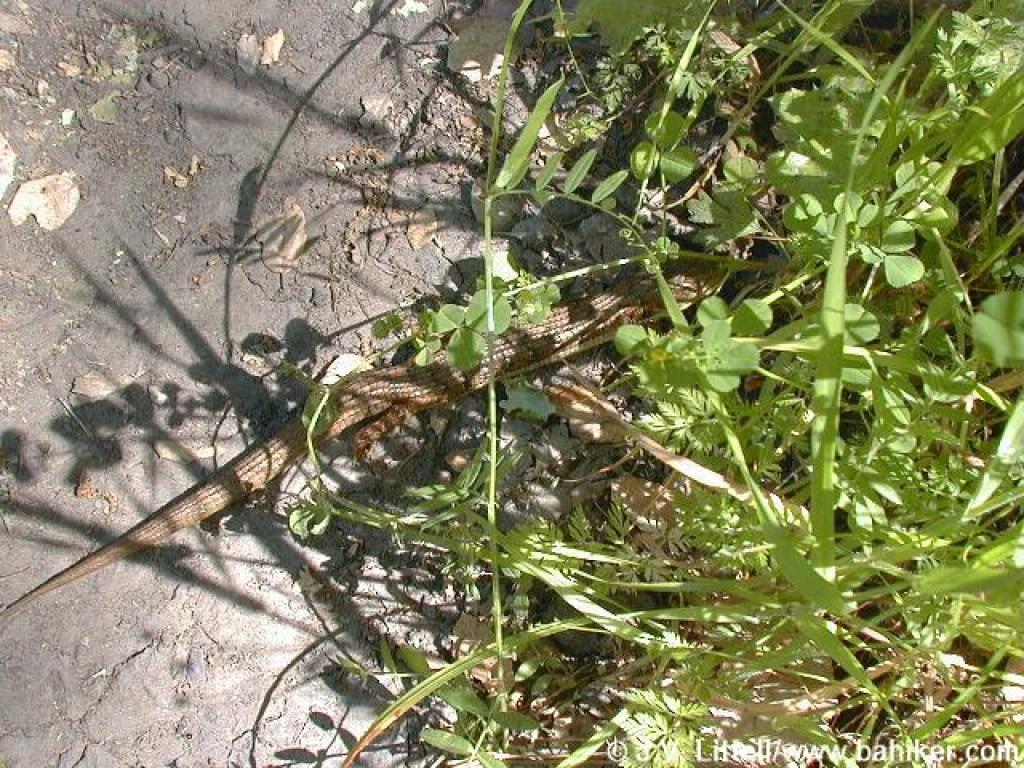 Skink |
 Looking back |
 More tall grass |
||||||
 Another gate at junction |
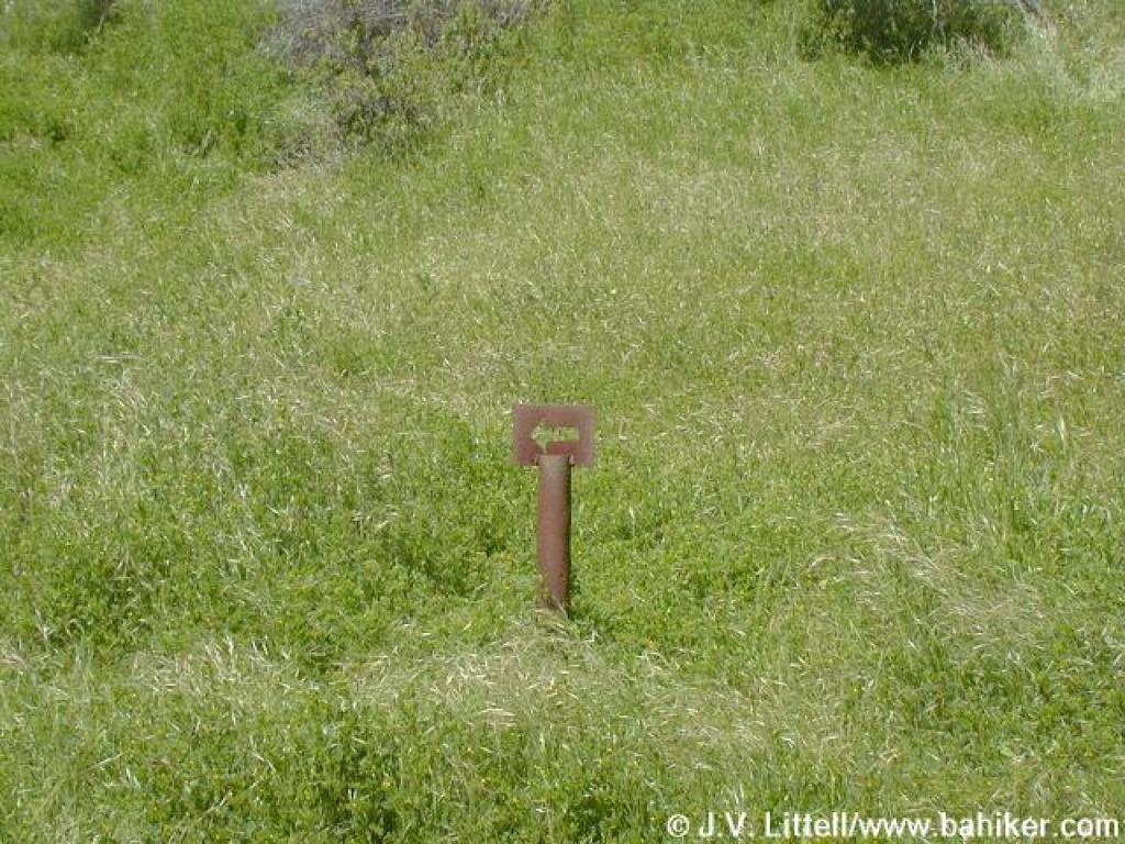 Looking back to arrow |
 Downhill a little more |
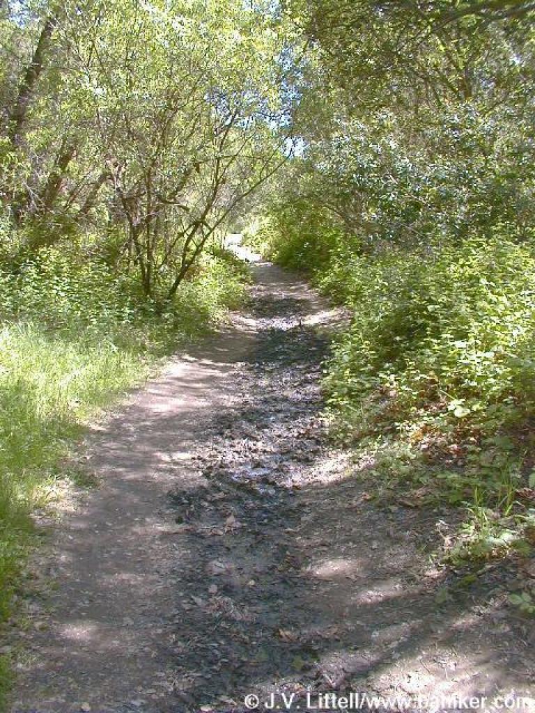 Muddy |
||||||
Go to Bay Area Hiker Sunol page Go to Bay Area Hiker Home page |
|||||||||