| Photos from a May
2000 hike at Huddart County Park (click on any image for a larger view) |
|||||||
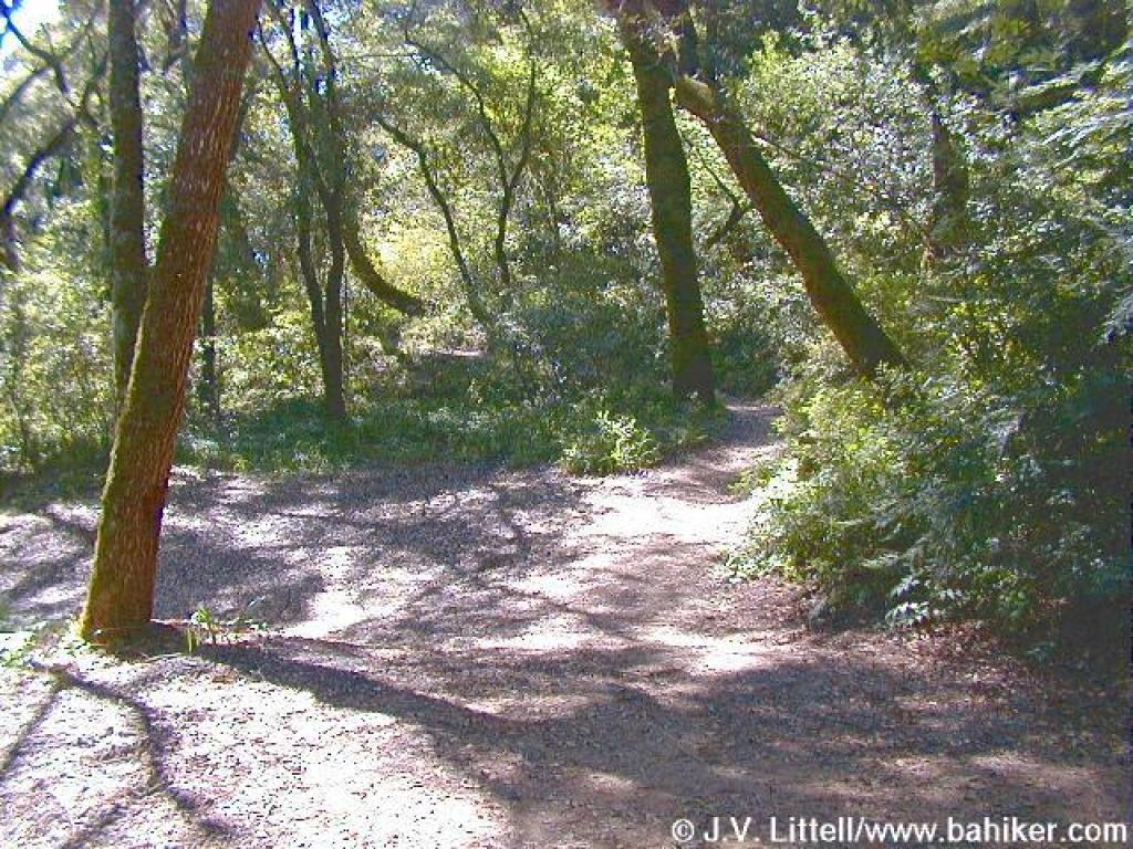
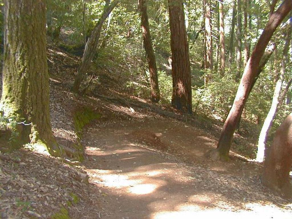
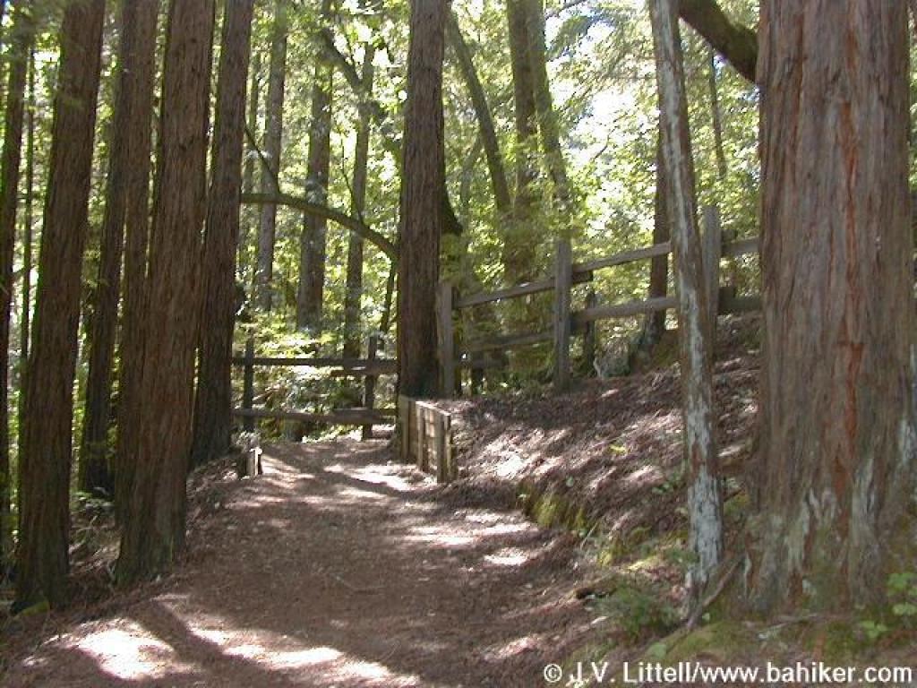
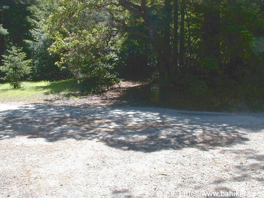
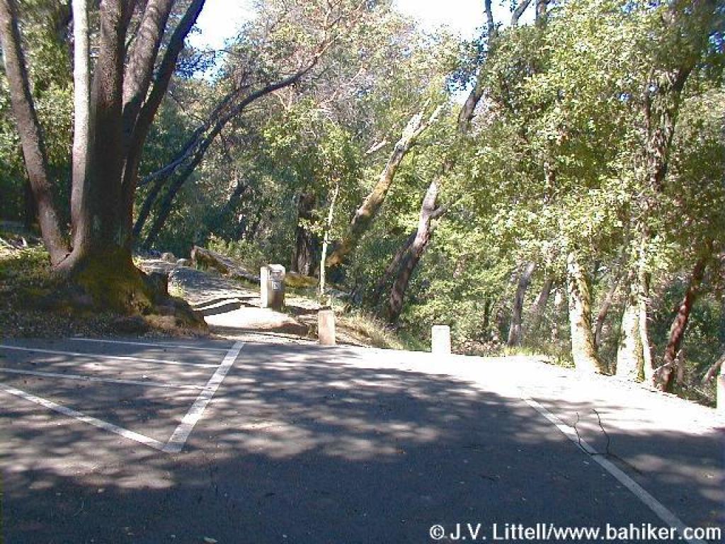 Trailhead |
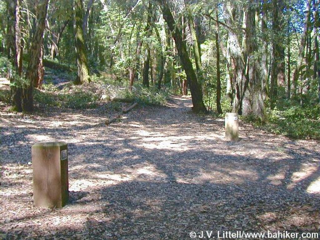
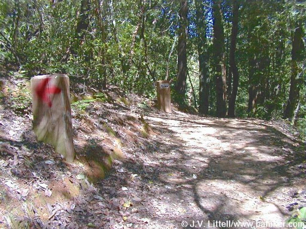
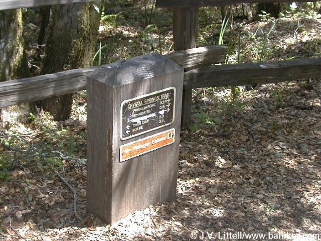
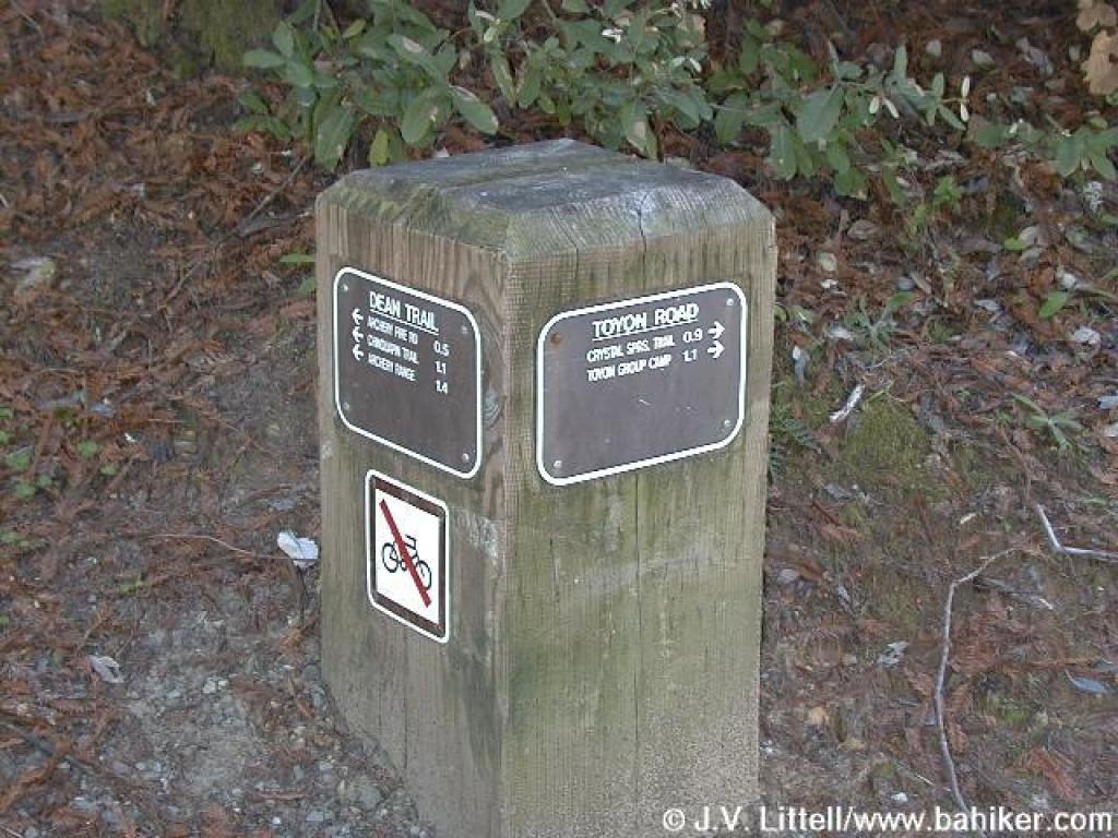
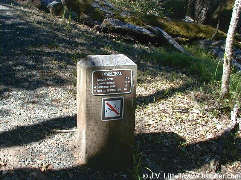 Signpost |
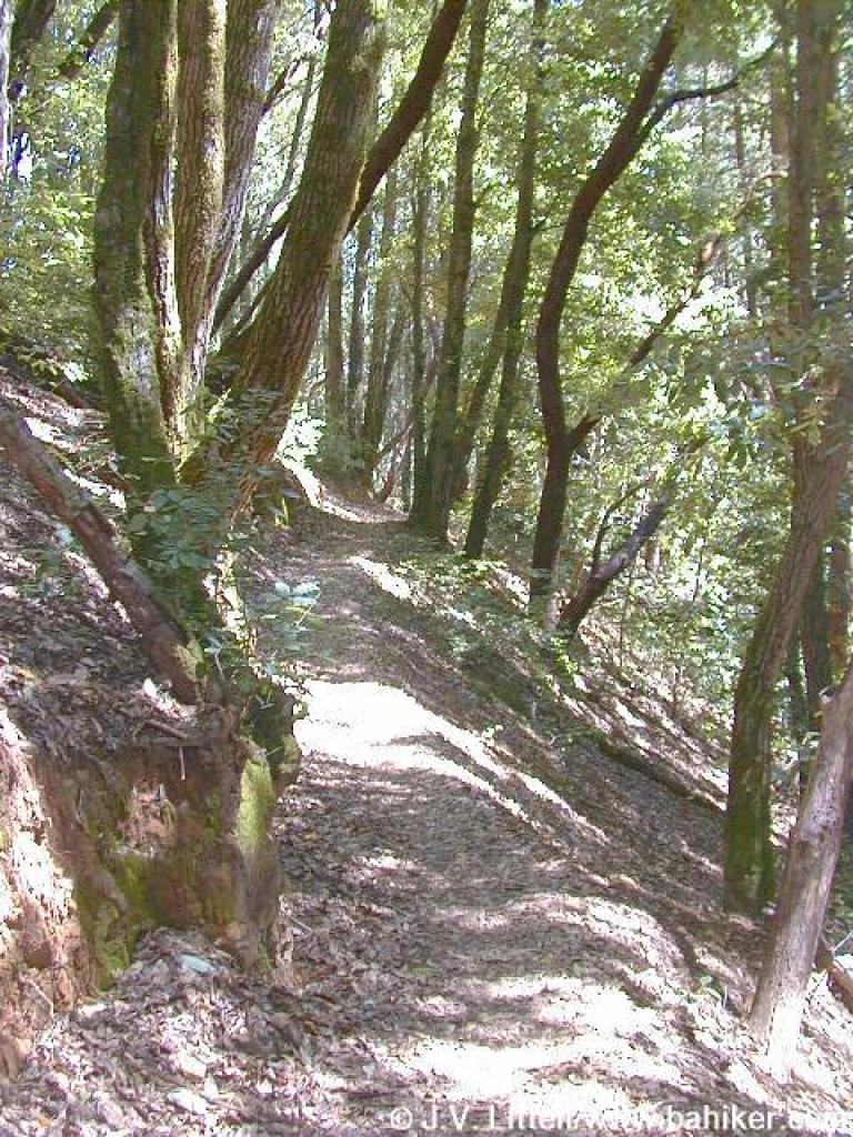
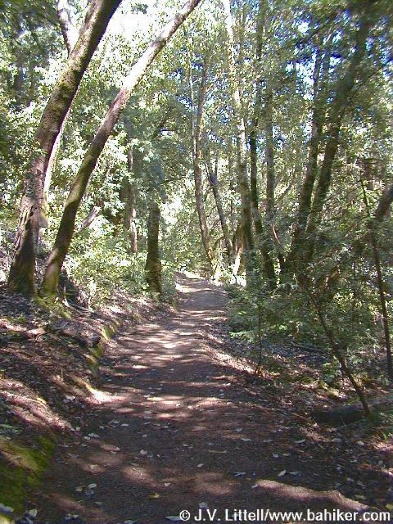
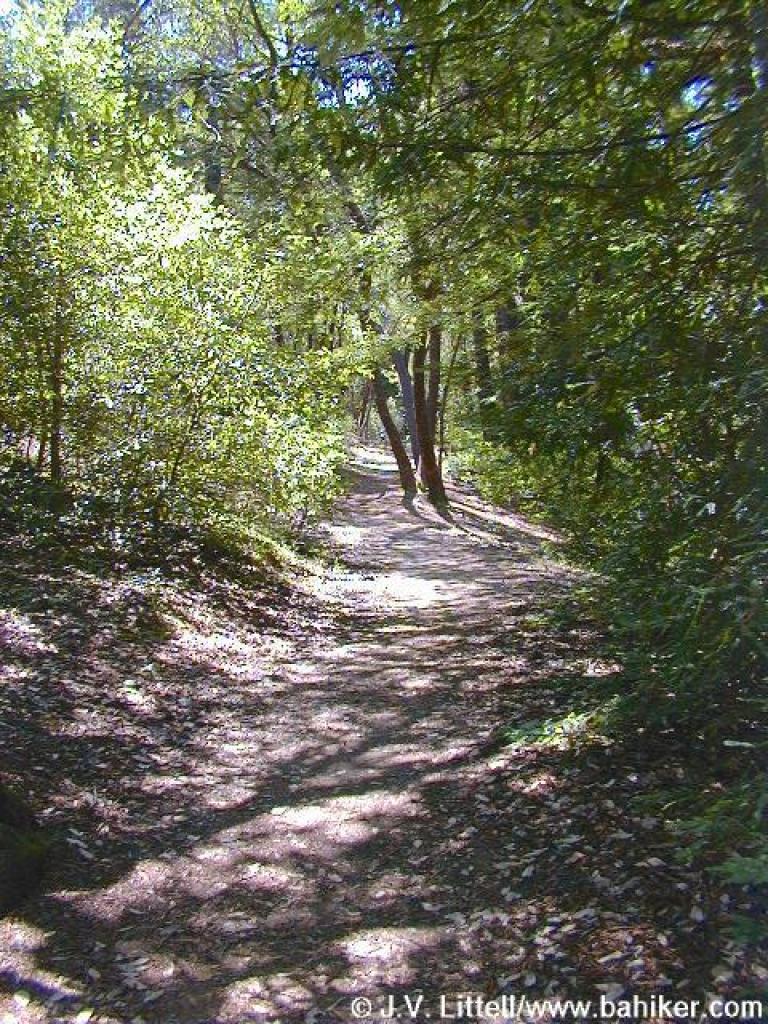
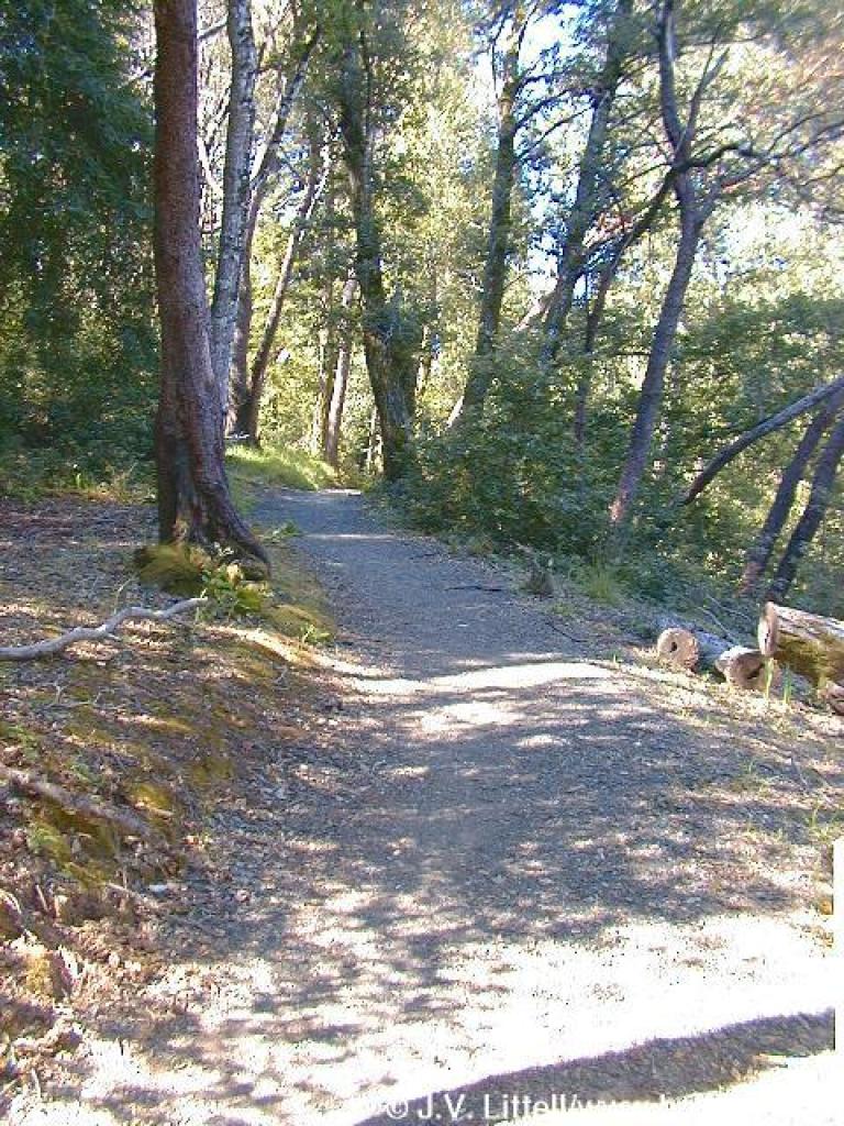 Dean Trail |
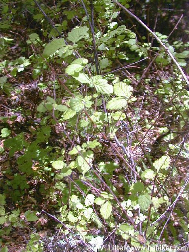
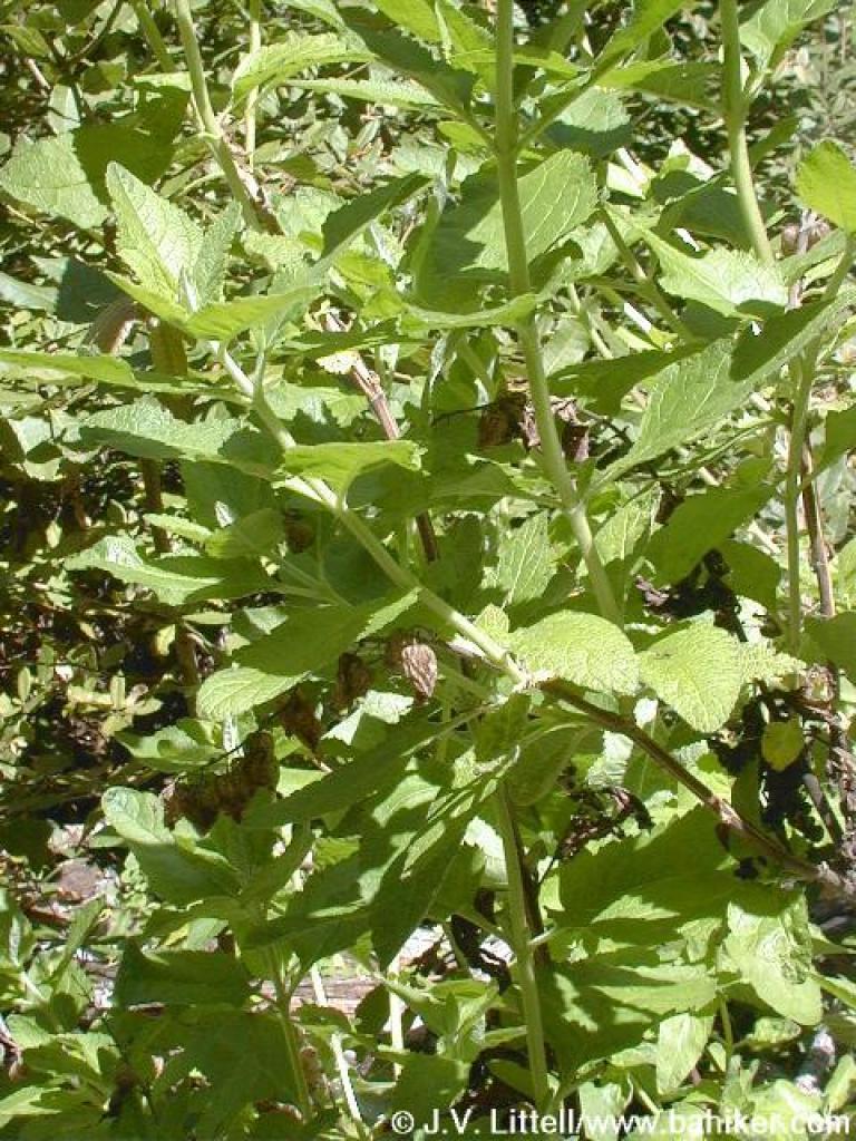
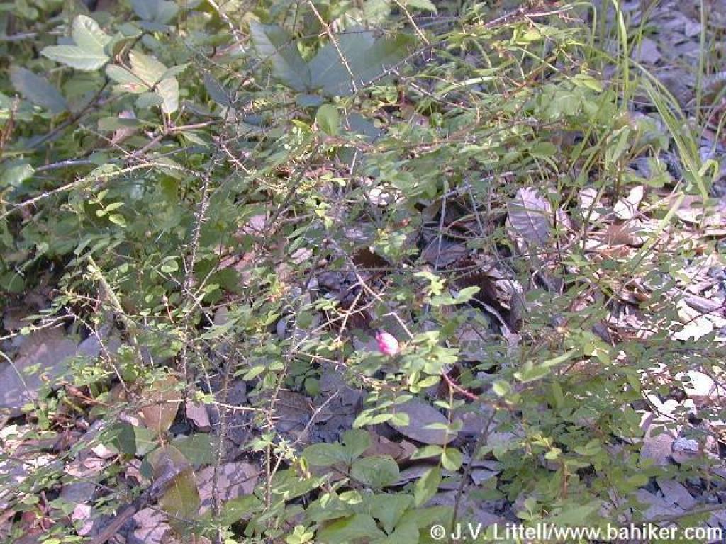 Wild rose |
||||
 First junction with Archery Fire Road |
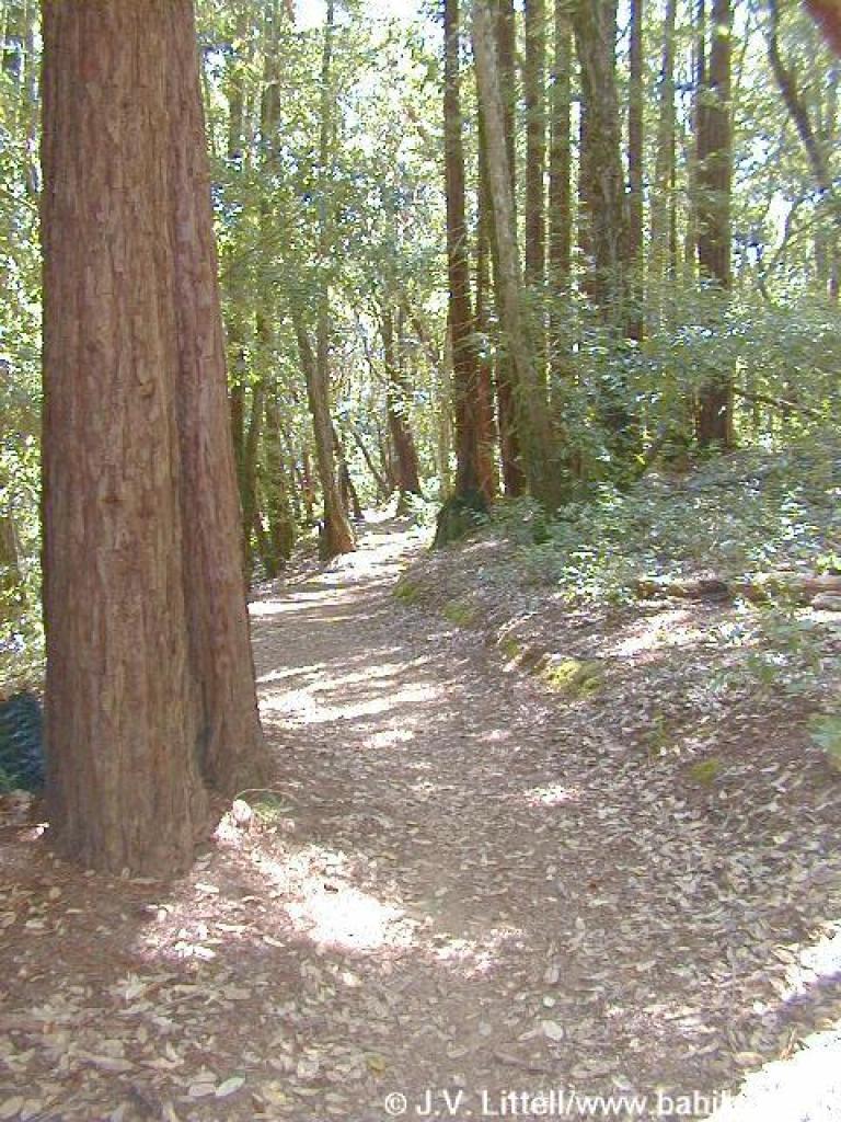
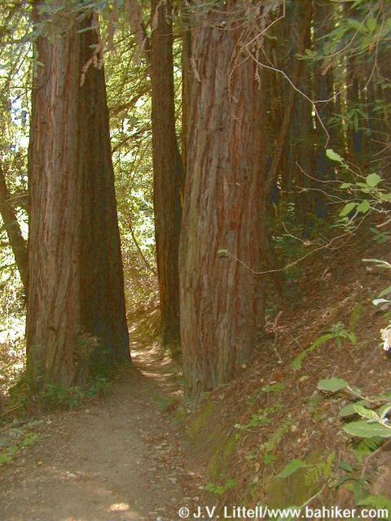
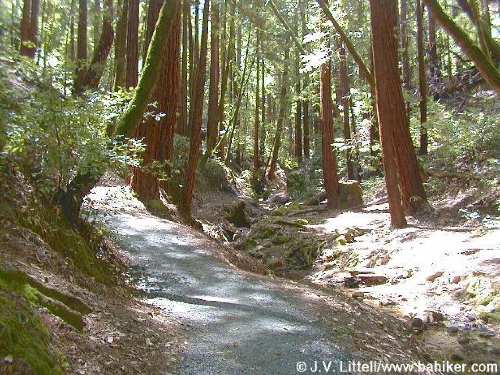
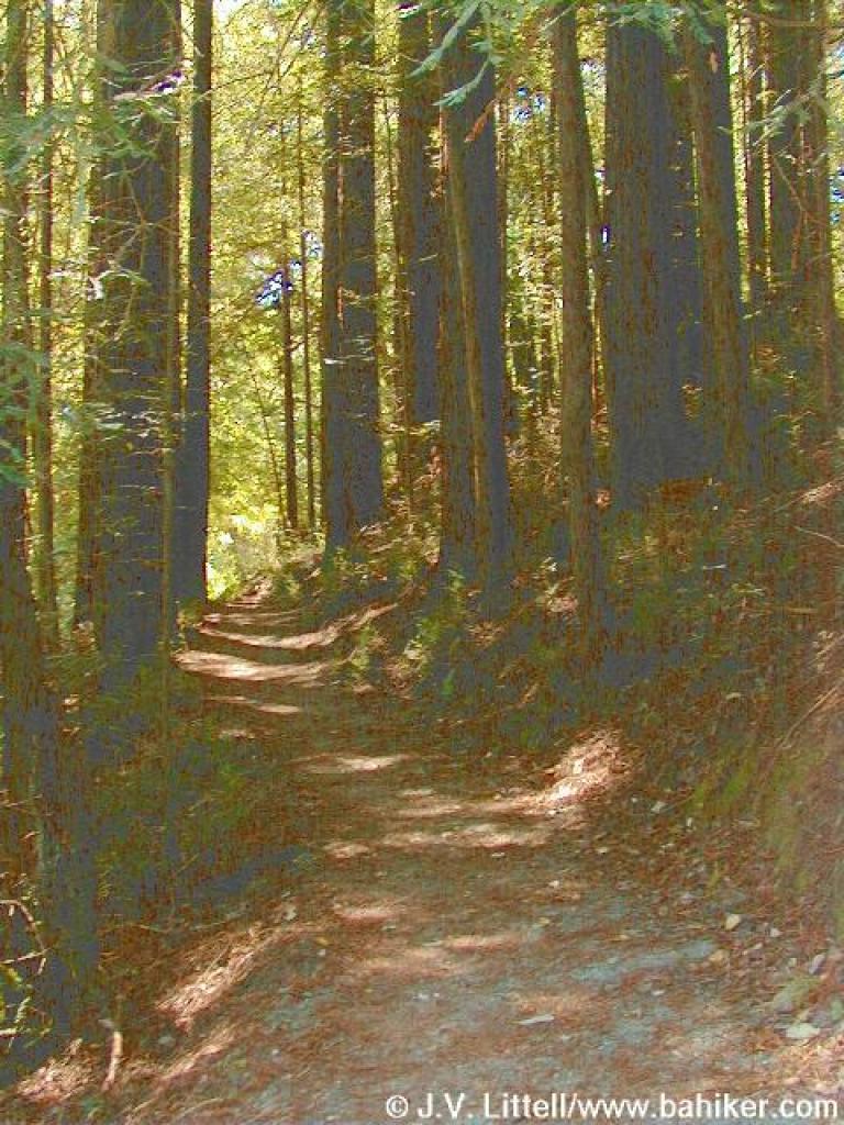 Tall redwoods |
 Second junction with Archery Fire Road |
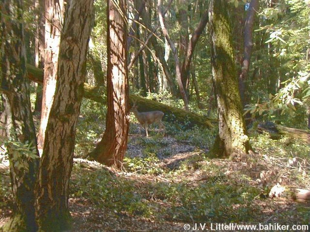 A yearling under the trees |
||||
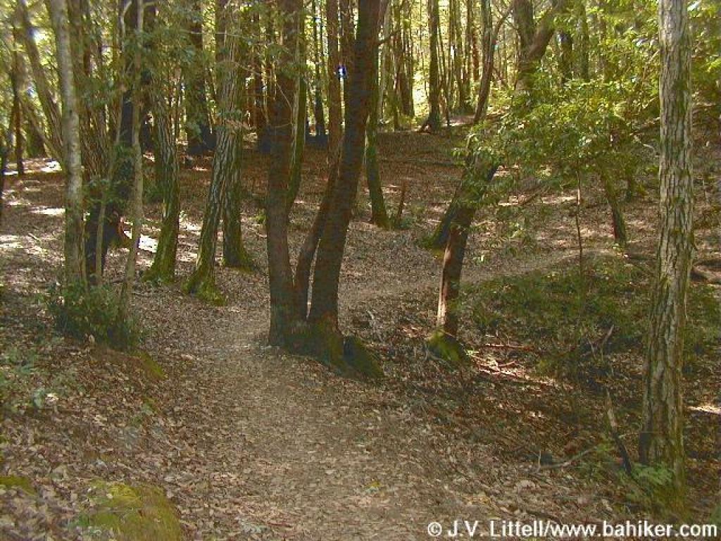 Dean Trail |
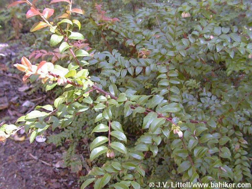
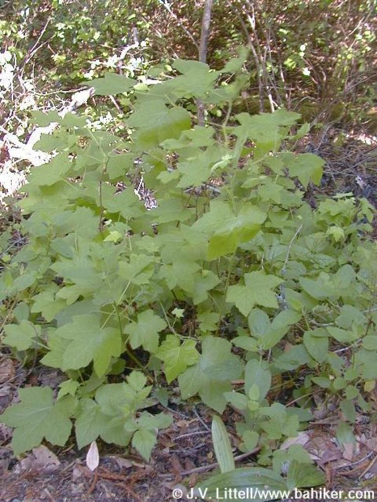
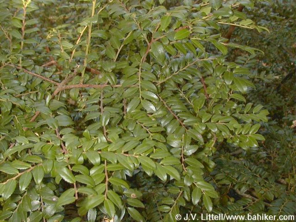 Huckleberry bush |
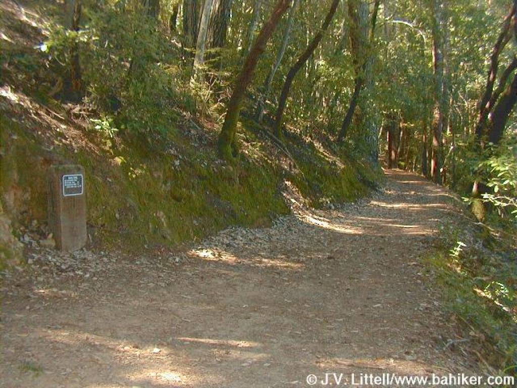 Junction |
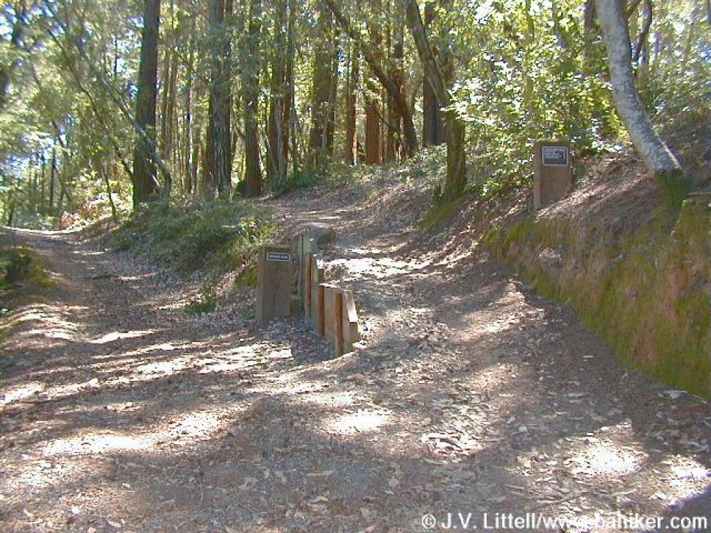 Looking back to junction with Chinquapin Trail |
||||
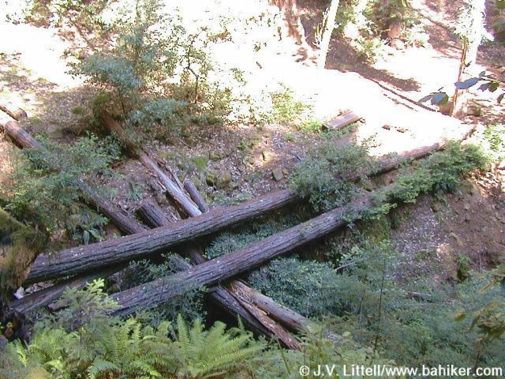 Fallen trees in the creek |
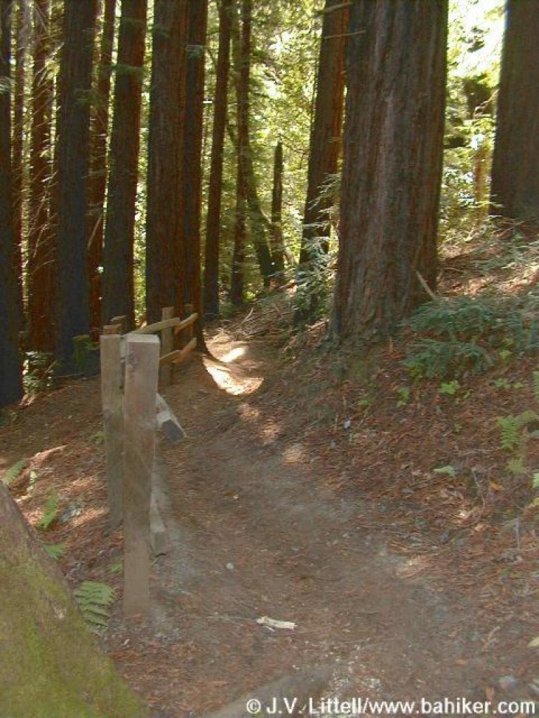
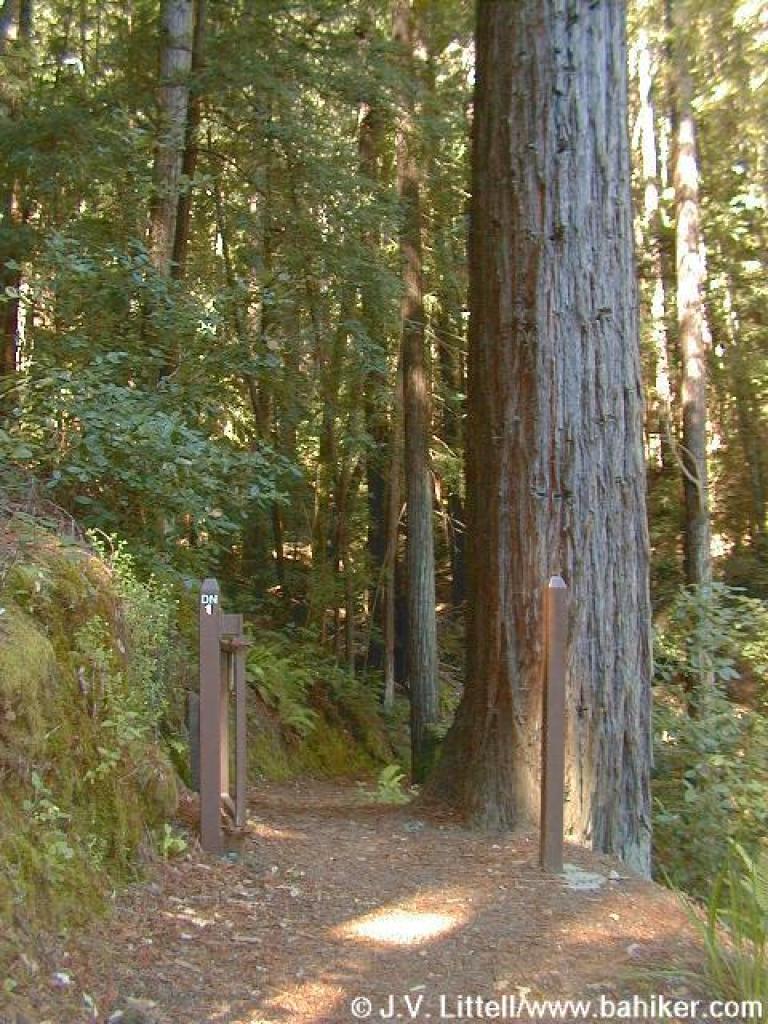 Seasonal closure gate |
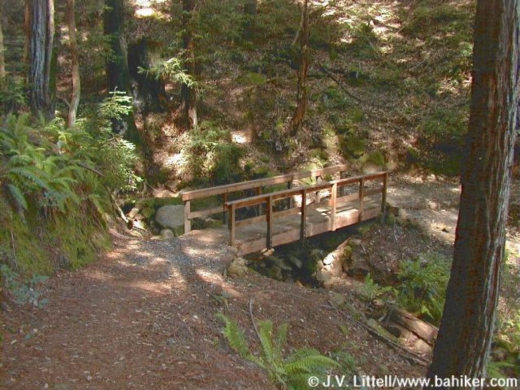 Bridge across McGarvey Gulch Creek |
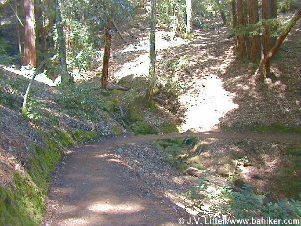
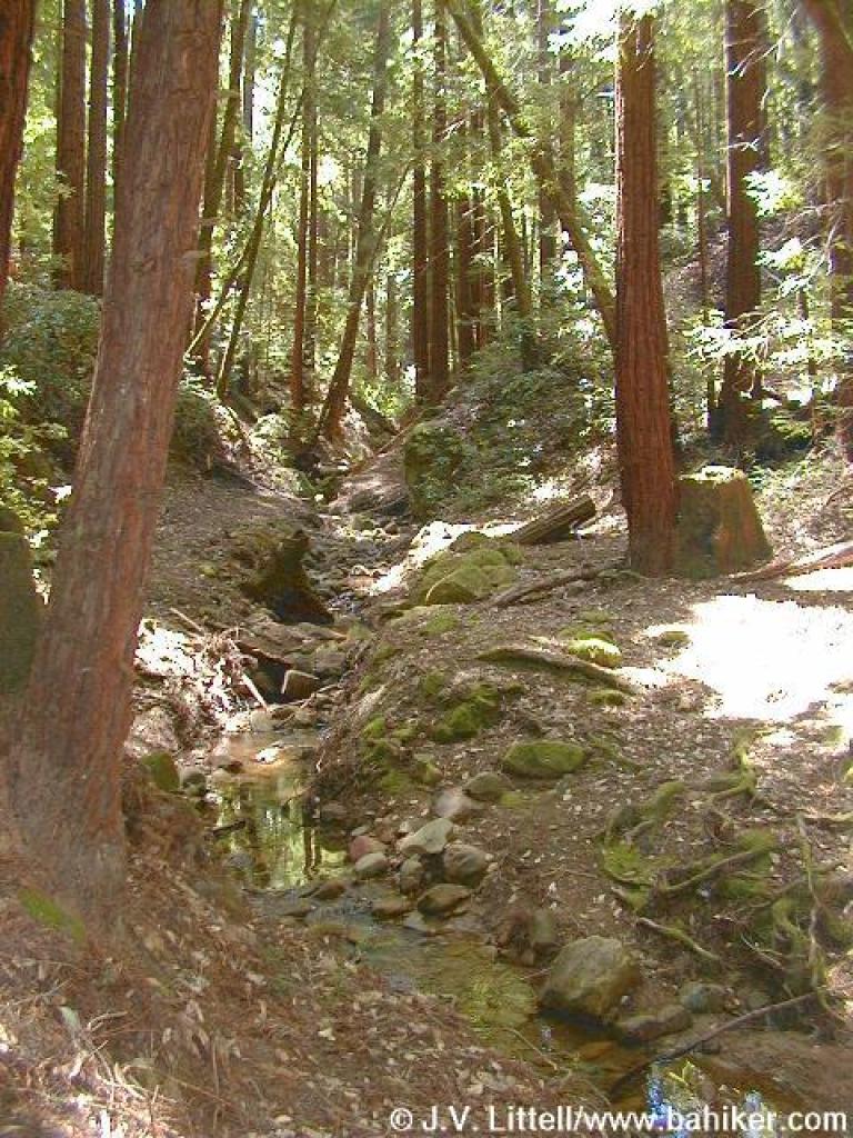
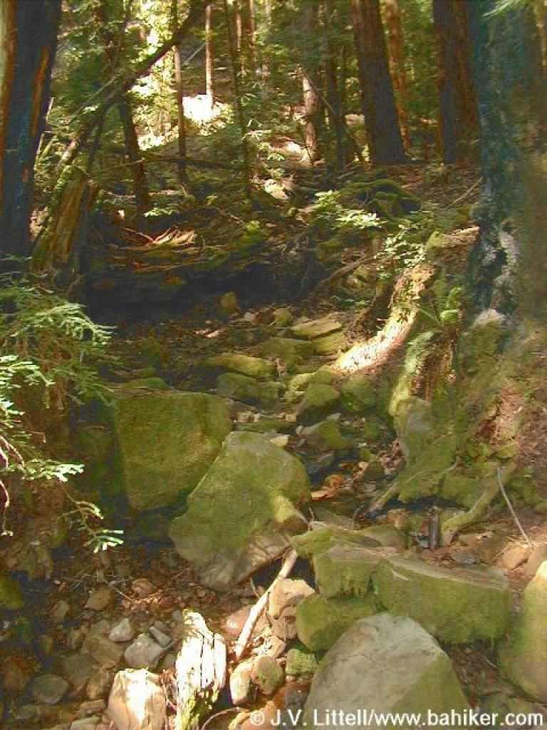 Creekbed |
||||
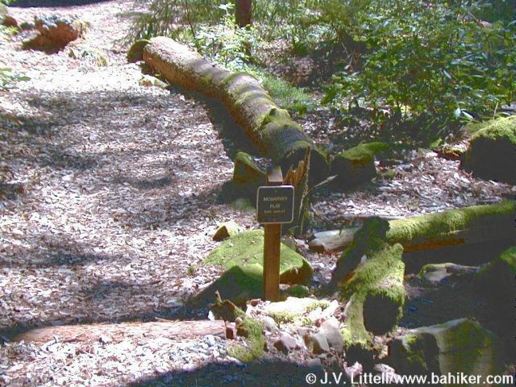 Elevation 1380 feet |
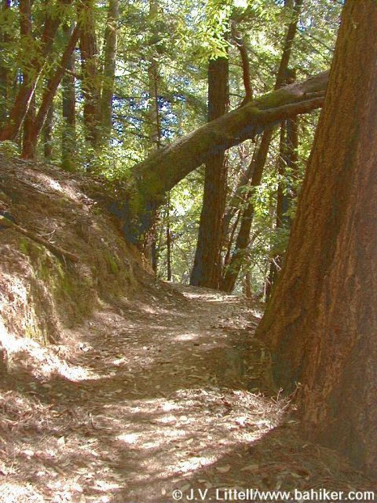 Leaning tree |
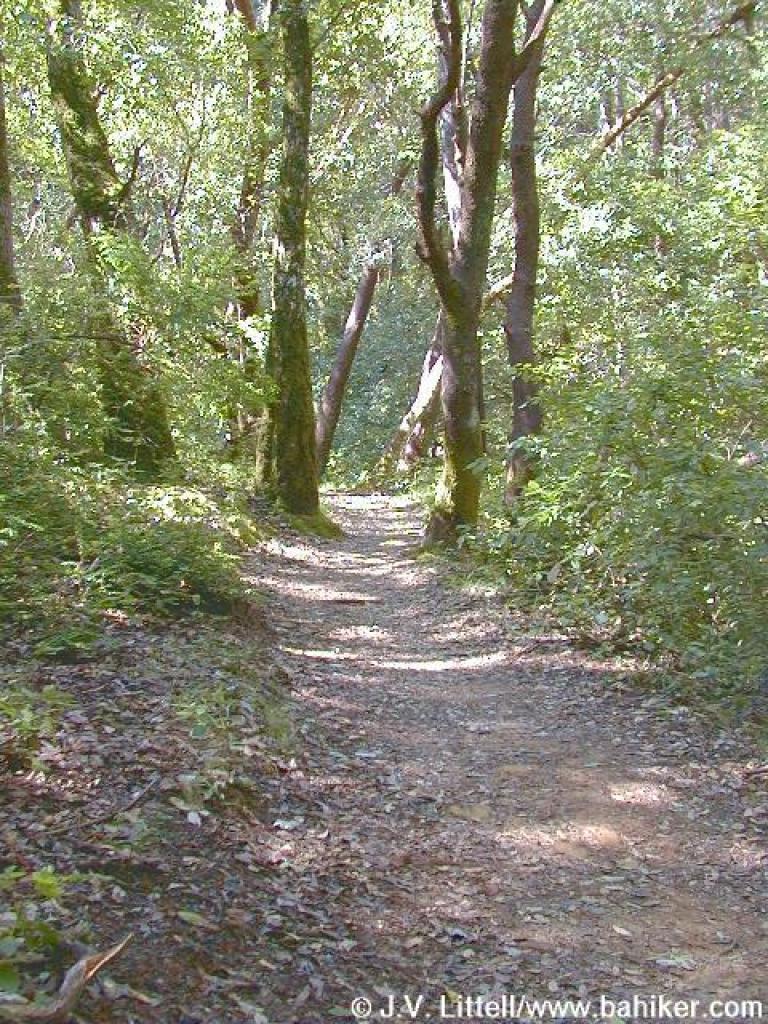 Oaks line the trail |
 Huckleberry bonanza |
||||
 Huckleberry just starting to bloom |
 Junction with Crystal Springs Trail |
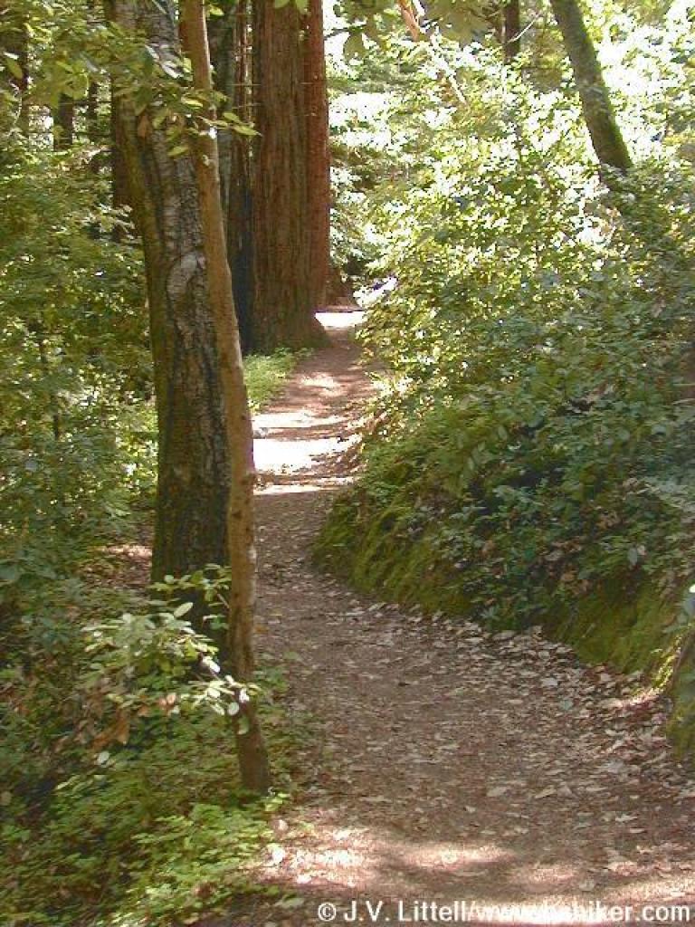
 Angling along the hill |
 Redwoods |
||||
 One of many switchbacks |
 Creek crossing |
 Junction with Toyon Road |
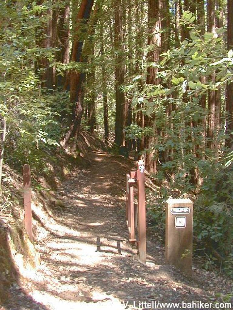 Seasonal closure gate |
||||
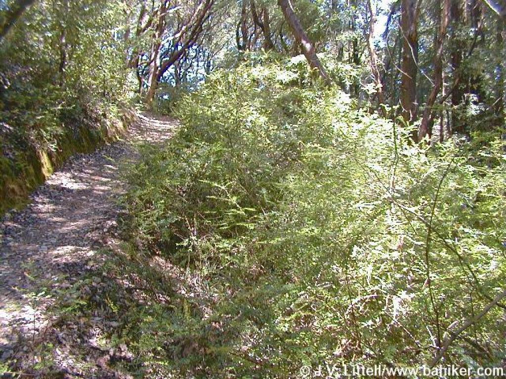
 Vegetation shift |
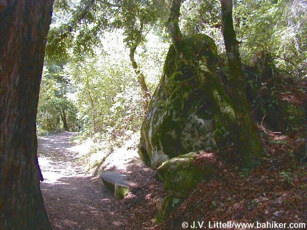 Rock is a good rest spot |
 Little bit of chaparral |
 Junction with Canyon Trail |
||||
 Tight squeeze |
 Fences protect against shortcuts |
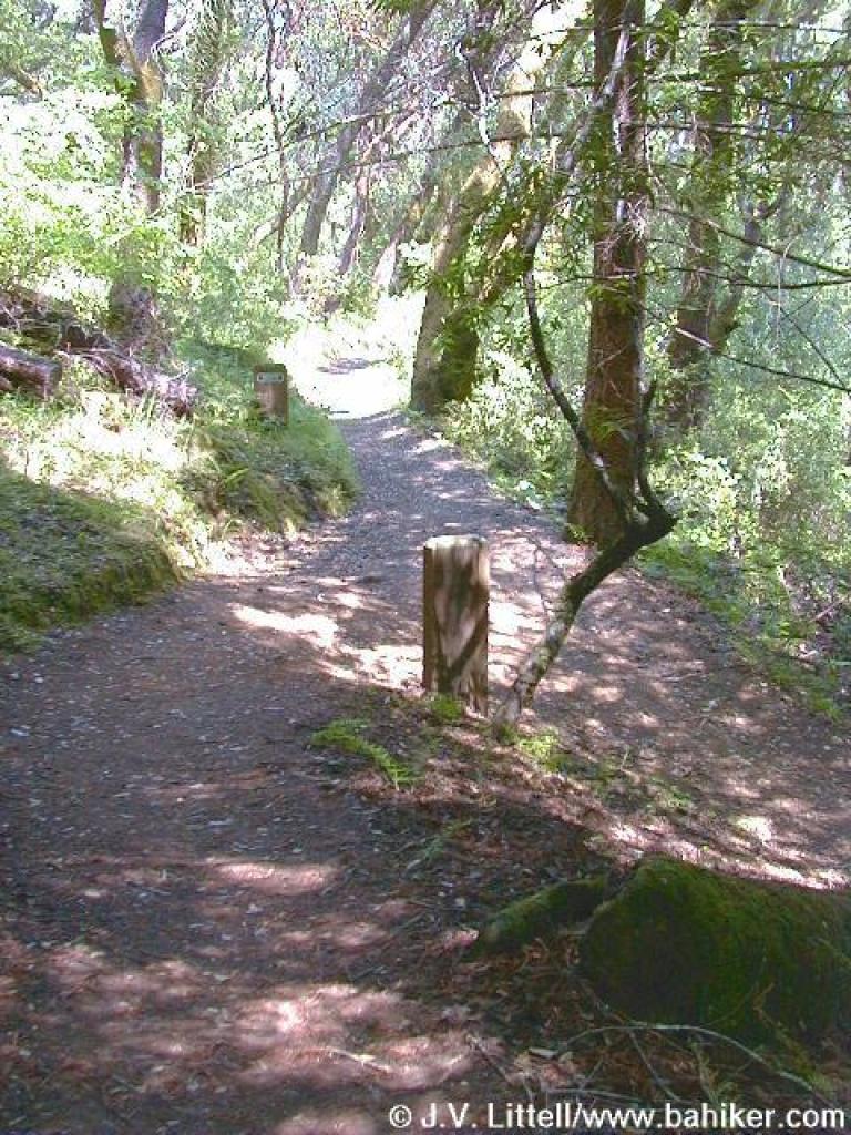 Junction |
 Creambush |
||||
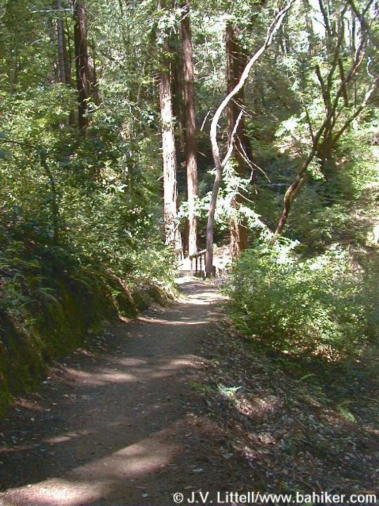
 Crystal Springs Trail |
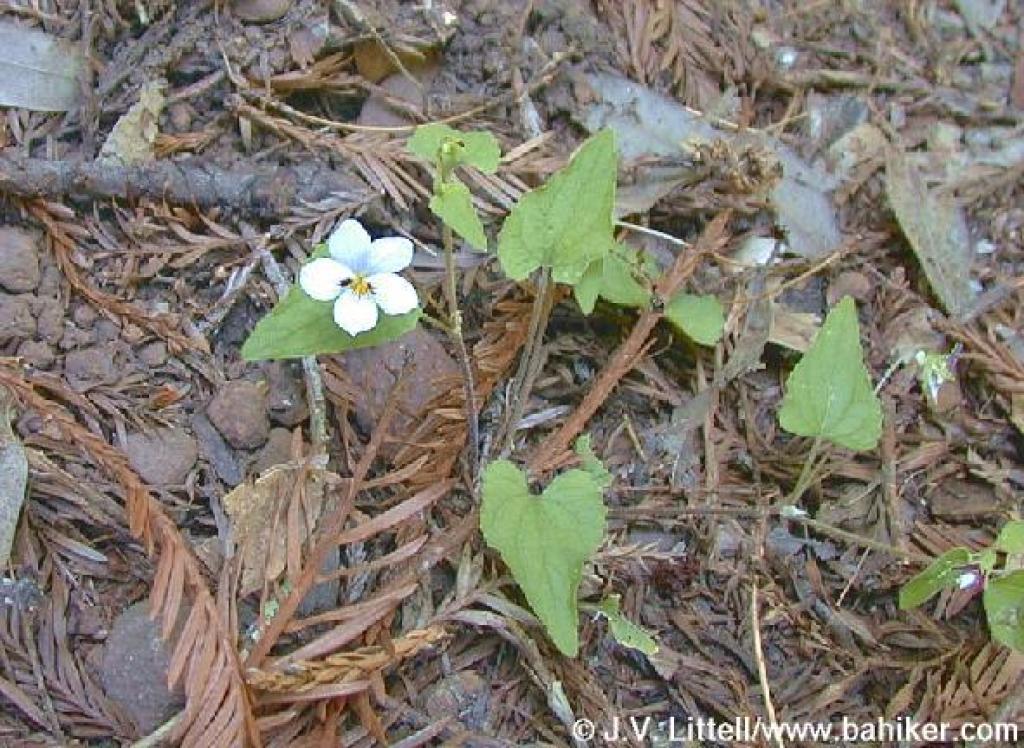 Western heart's-ease |
 Bridge |
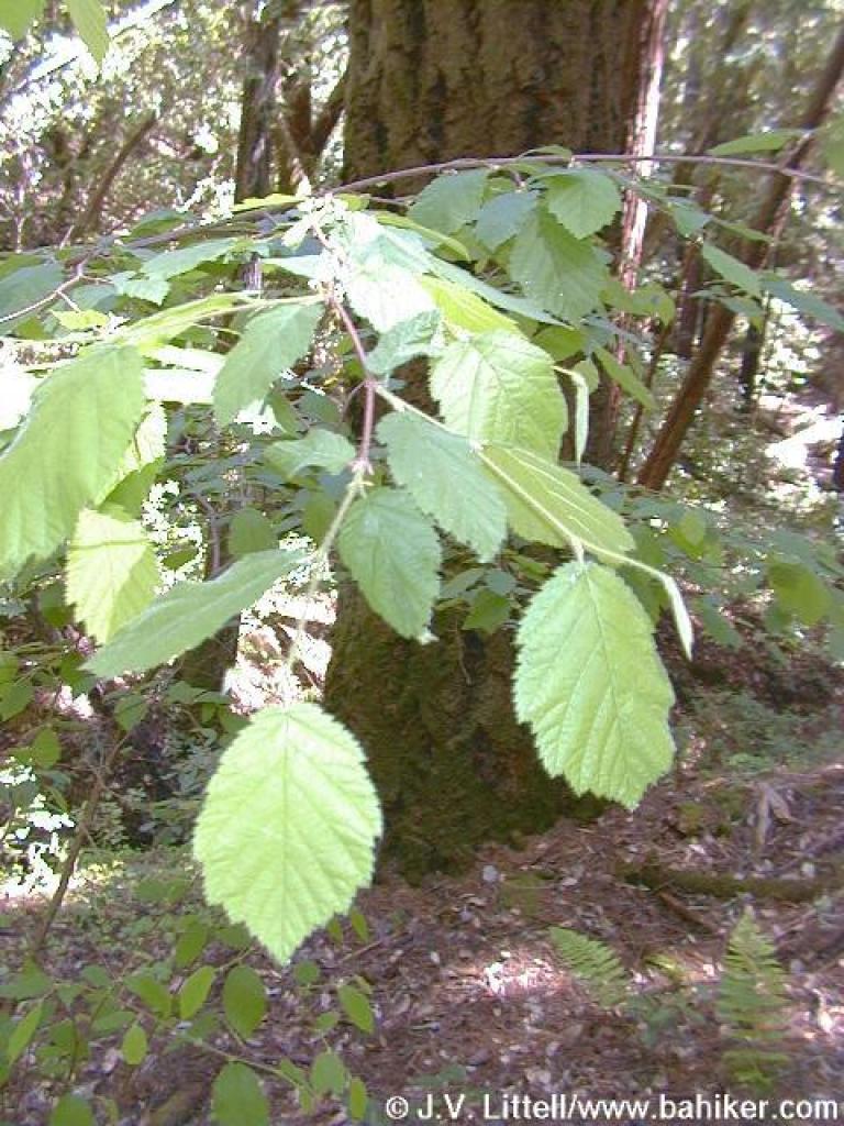 Hazelnut |
||||
 Leaving McGarvey Gulch Creek to climb uphill |
 The creek |
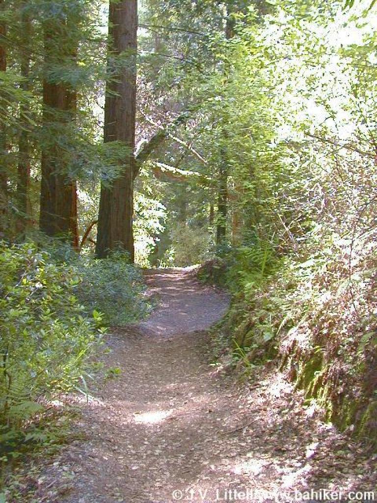
 Crystal Springs Trail |
 Thimbleberry bushes |
||||
 More fences |
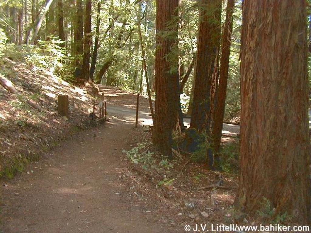
 Junction with Dean Trail |
 Pitcher sage |
 Skirting picnic areas |
||||
 Crossing Toyon Road |
 Junction with Toyon Road |
Go to Bay Area Hiker Huddart page Go to Bay Area Hiker Home Page |
|||||