| Photos from an April
2001 hike at Morgan Territory Regional Preserve (click on any image for a larger view) |
|||||||
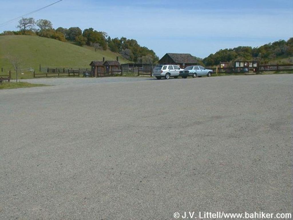 Parking lot |
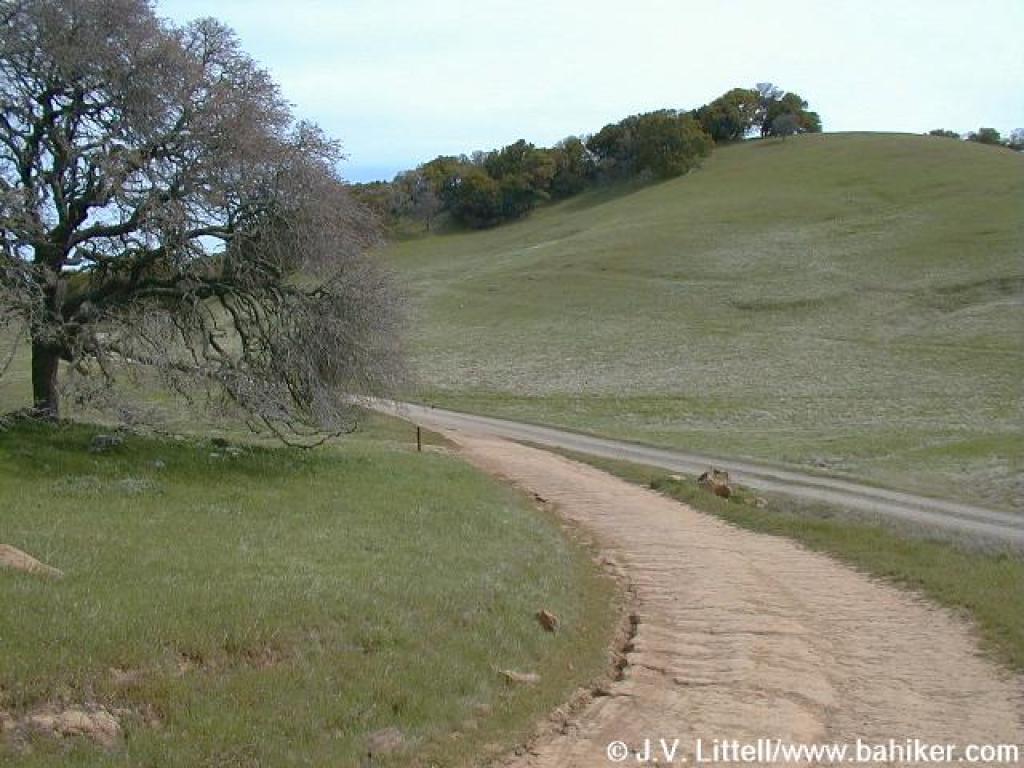
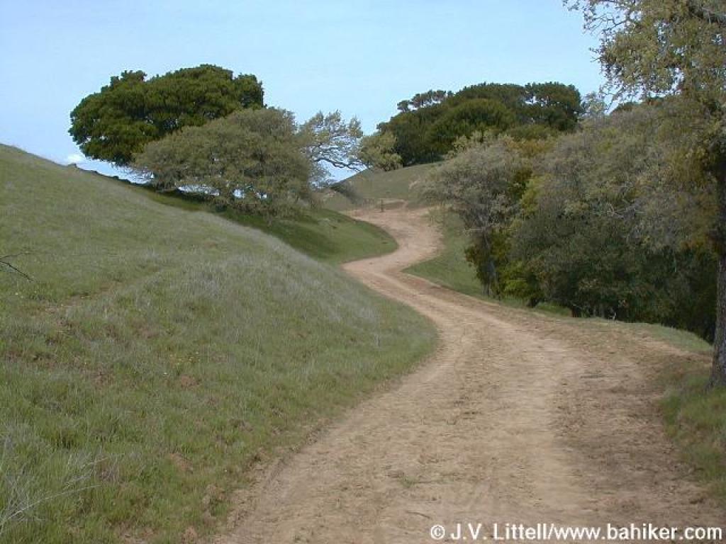
 Starting out |
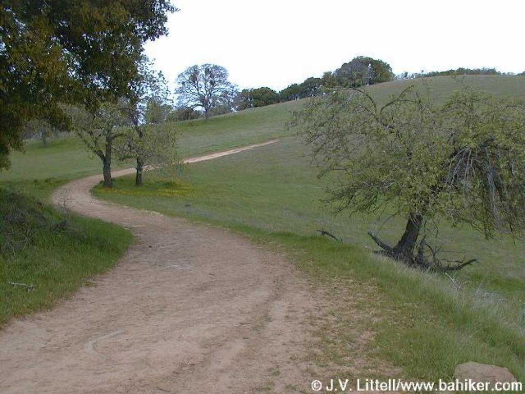
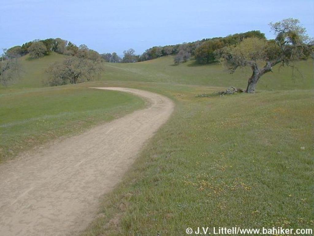
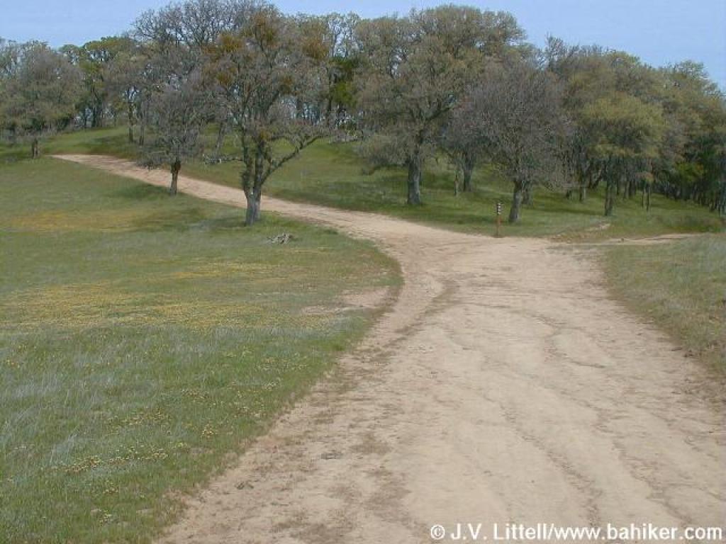
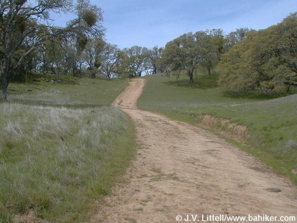
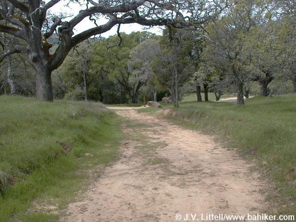
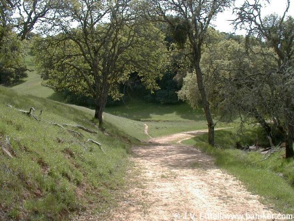
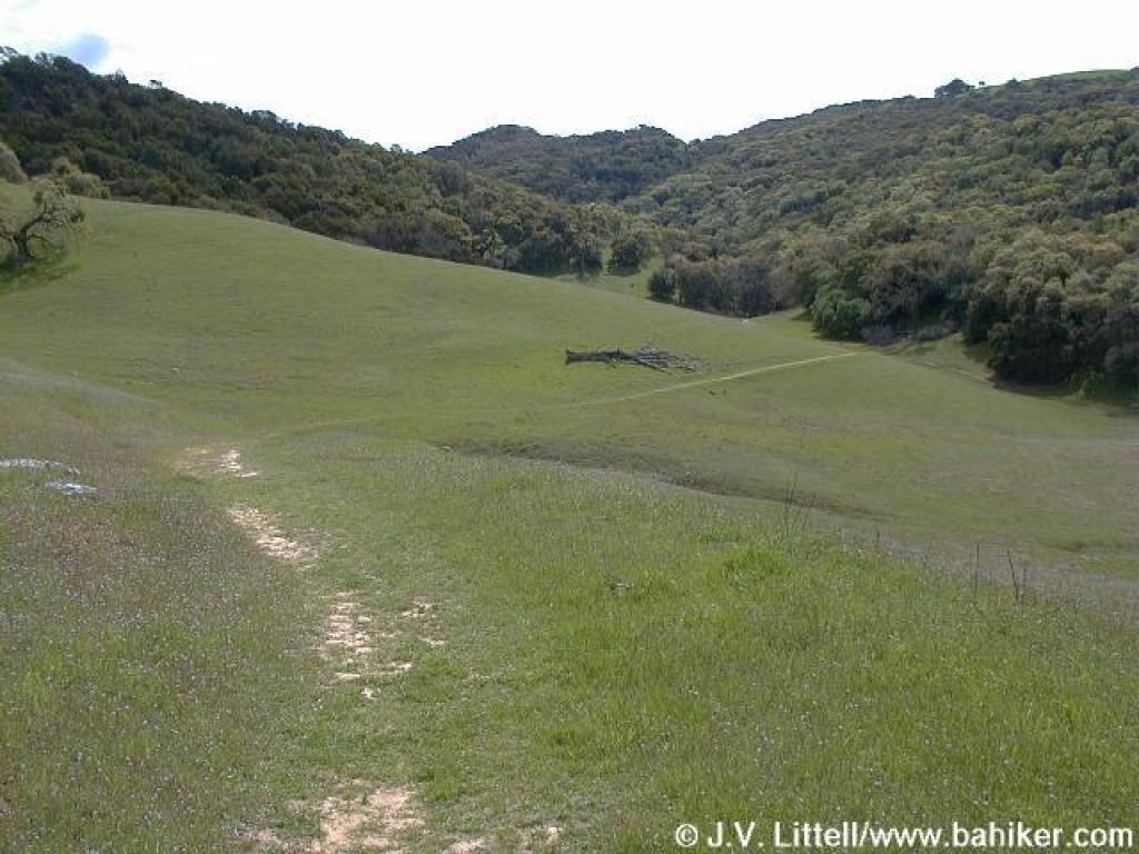
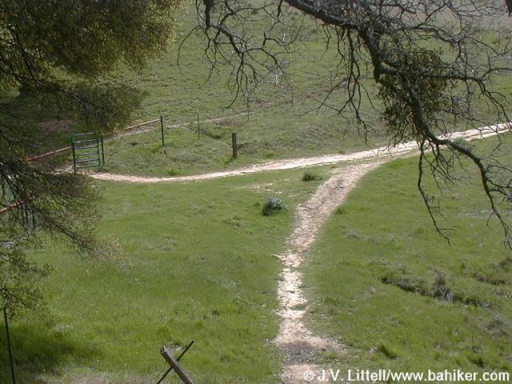
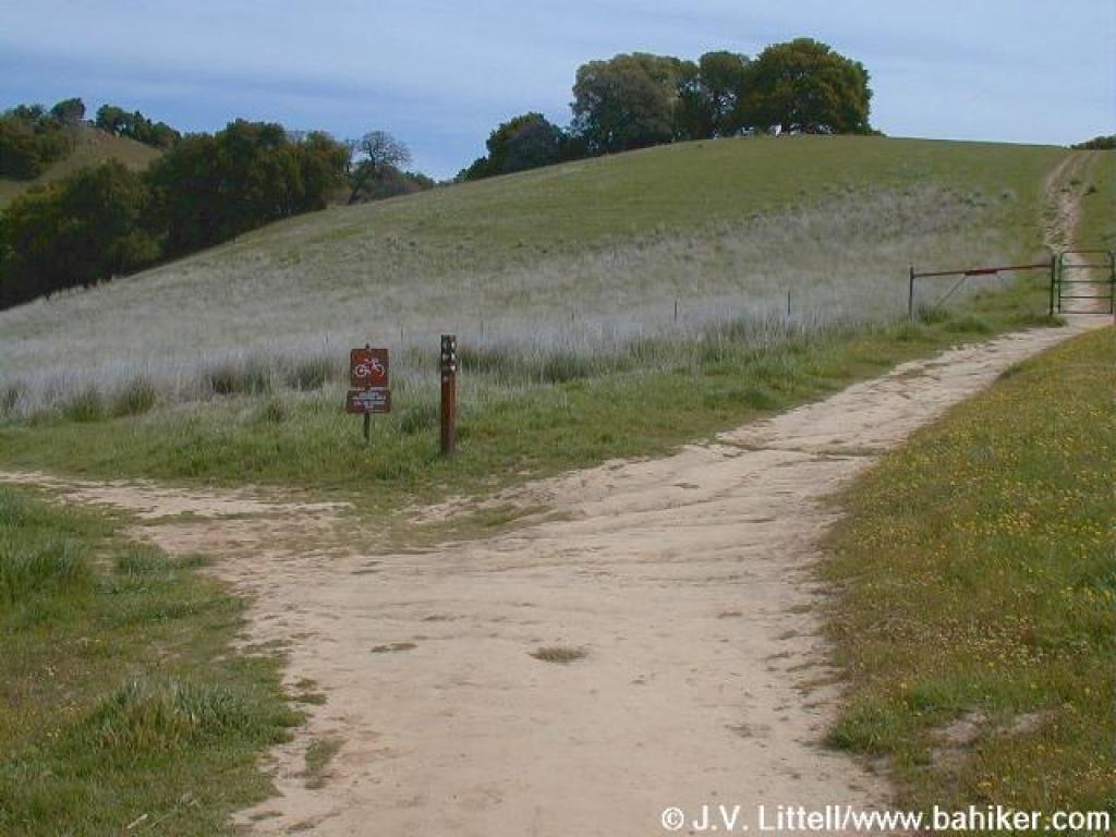 Junction |
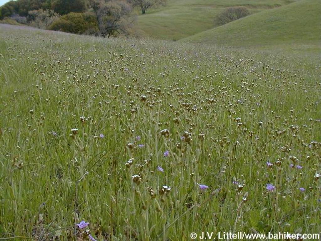
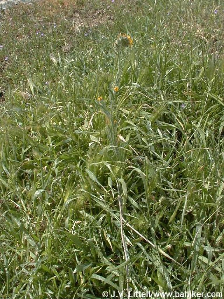
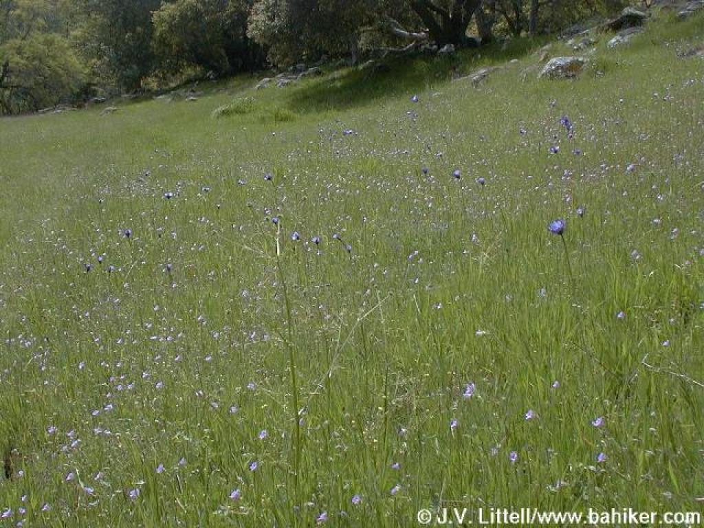
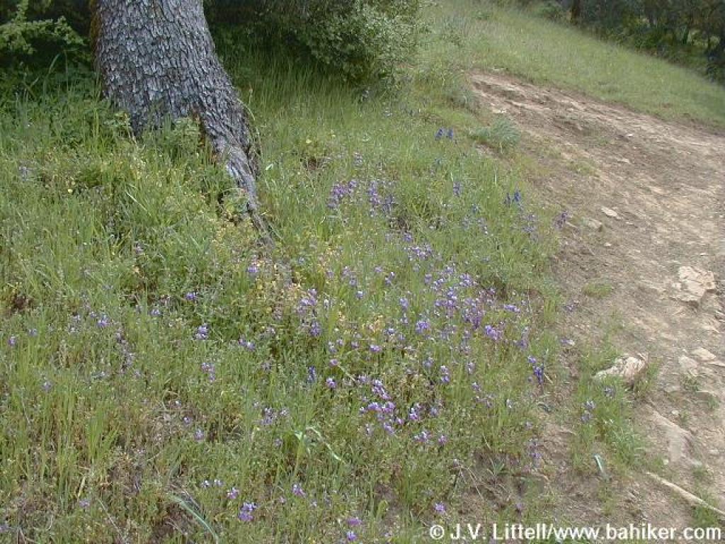
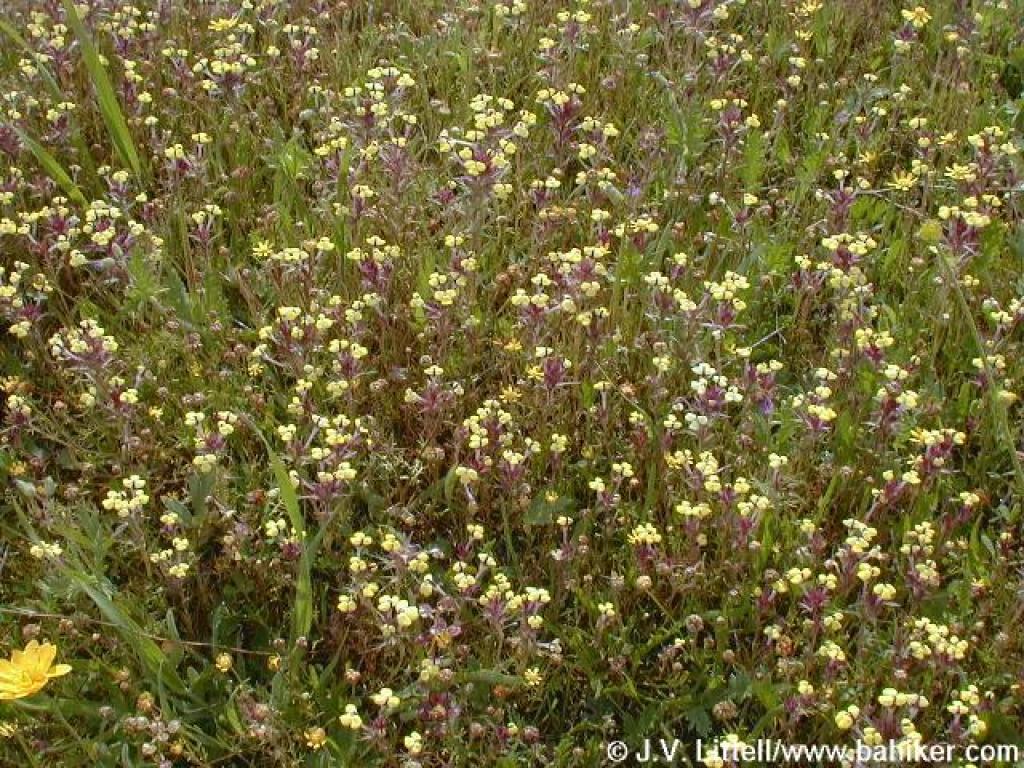 Johnnytuck |
||||
 Junction with other leg of Volvon |
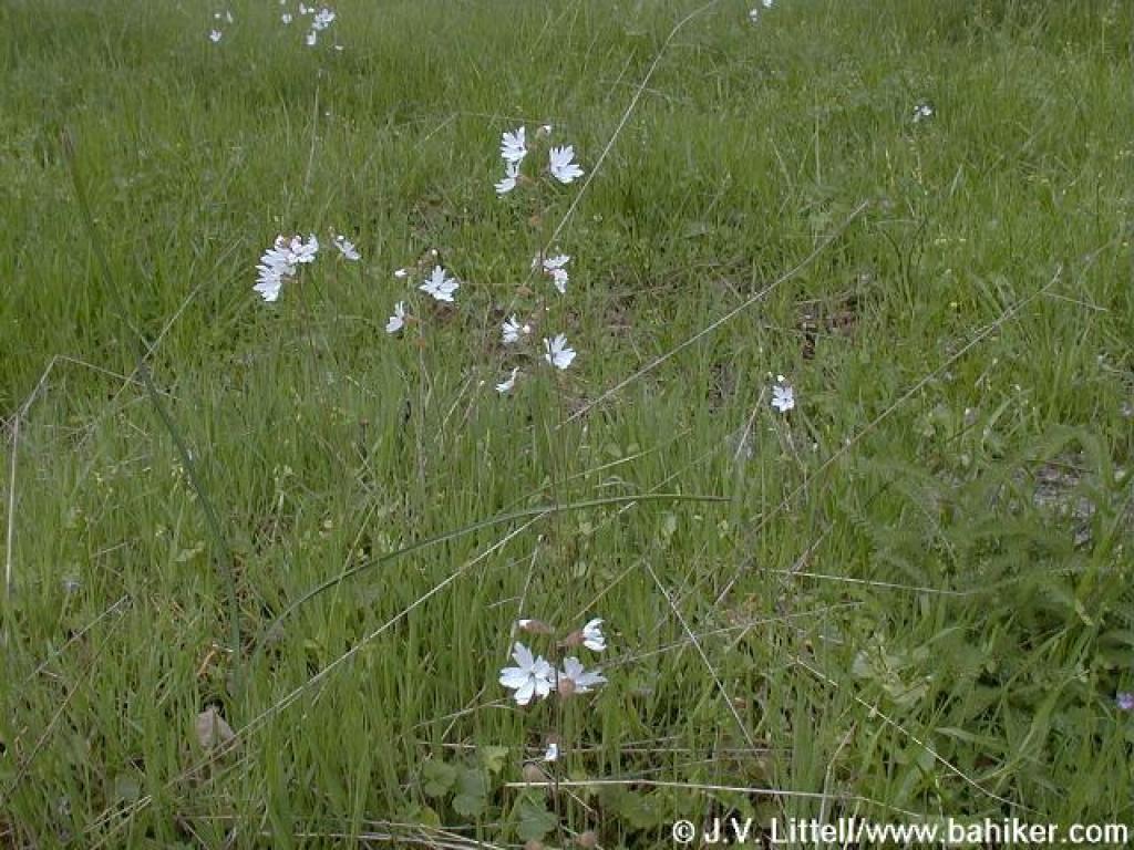
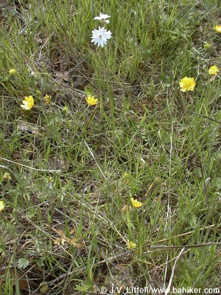 Woodland star and California buttercups |
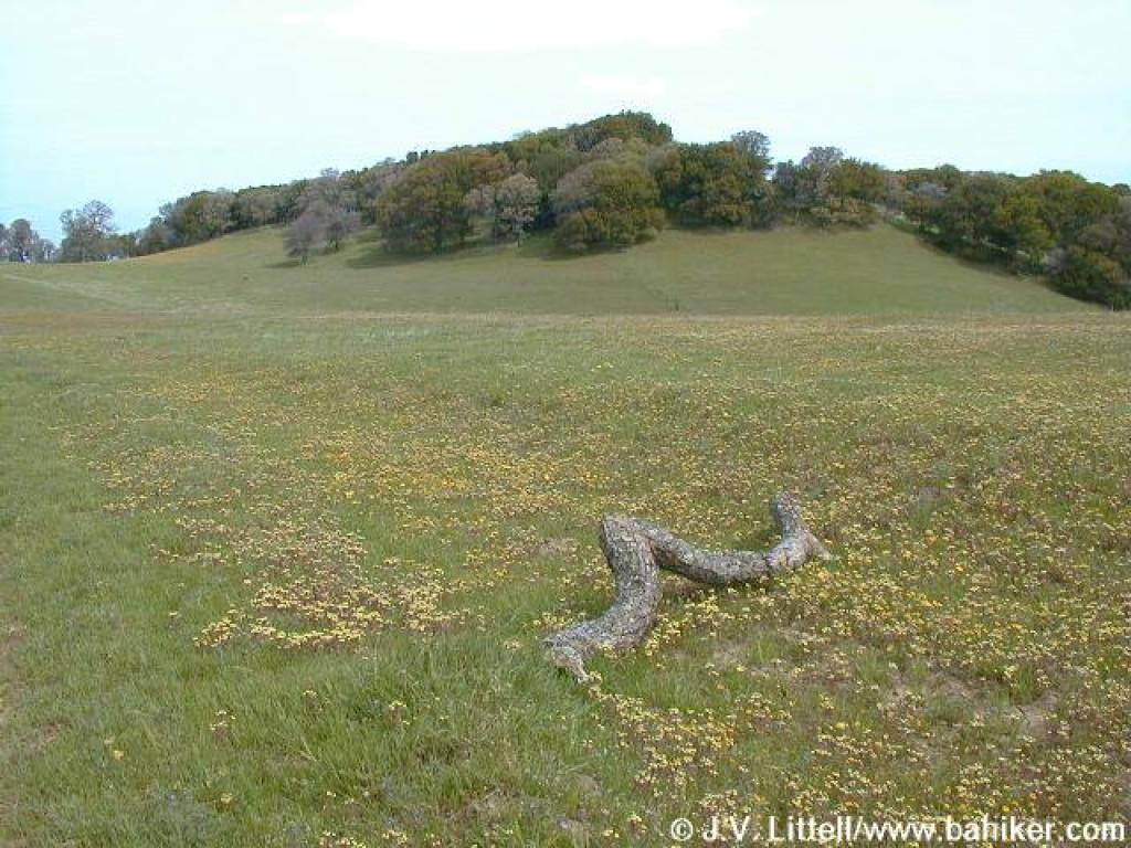
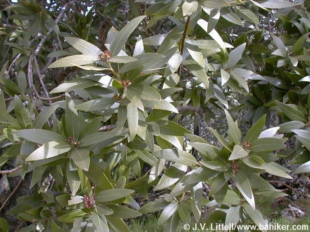 California bay |
Junction |
||||
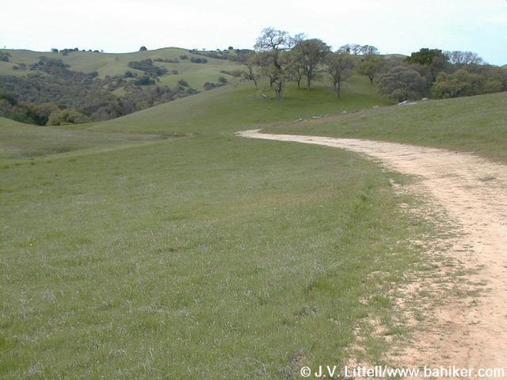
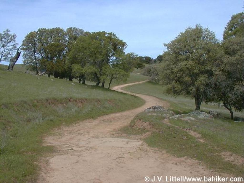
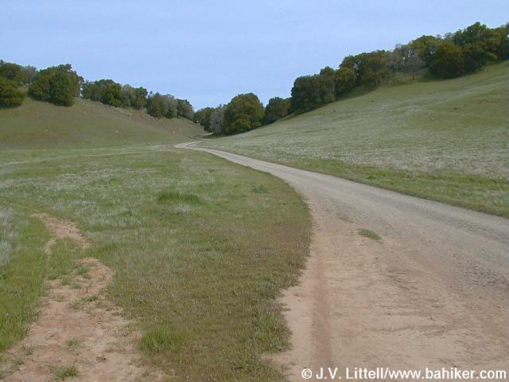 Volvon Trail |
 Volvon Trail |
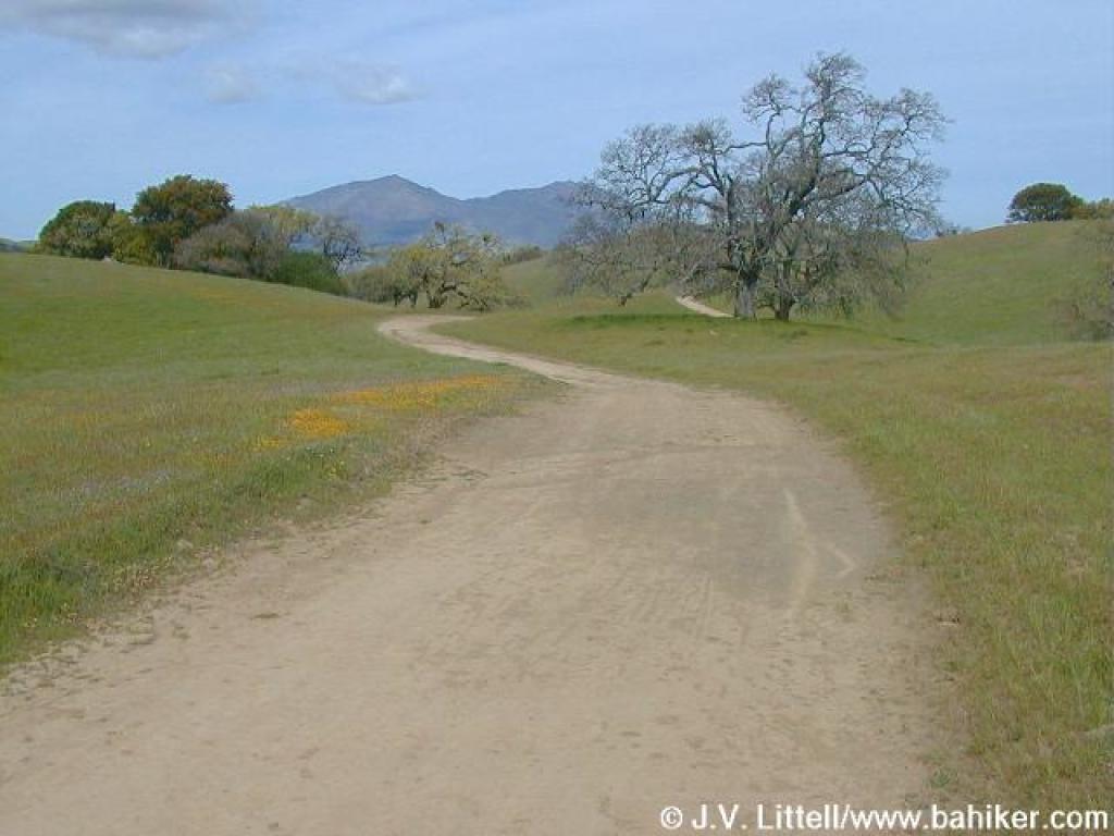
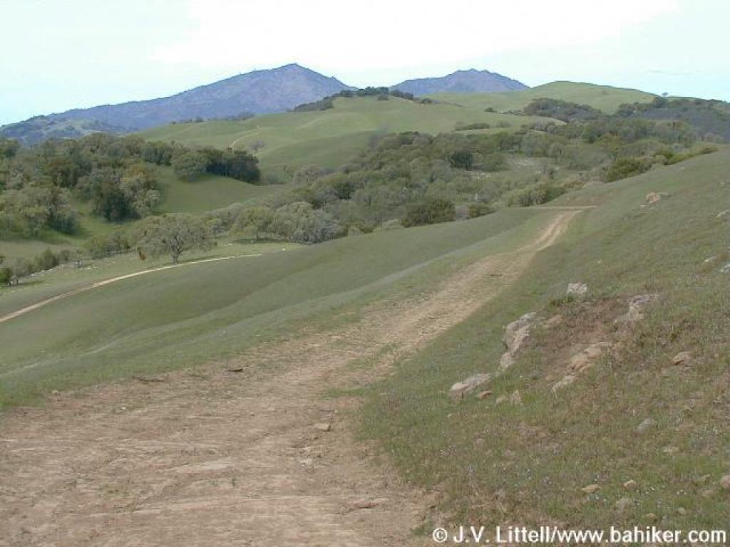
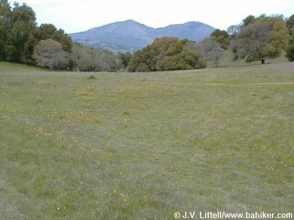 View to Mount Diablo |
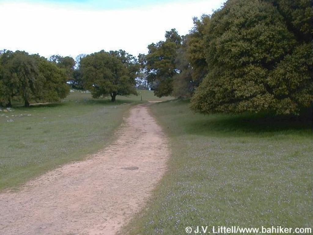 Approaching junction |
||||
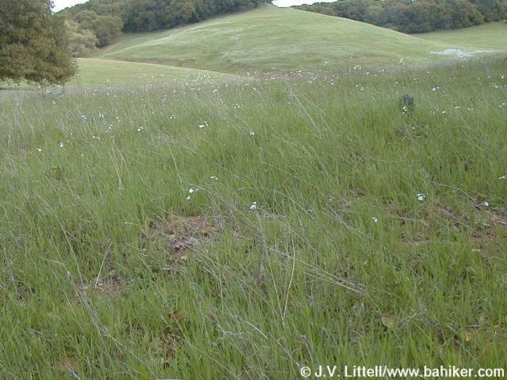 Woodland stars dot the grass |
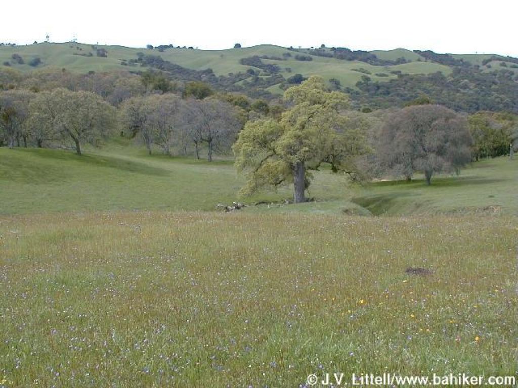
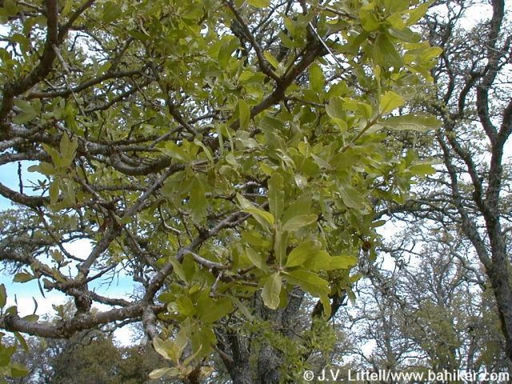
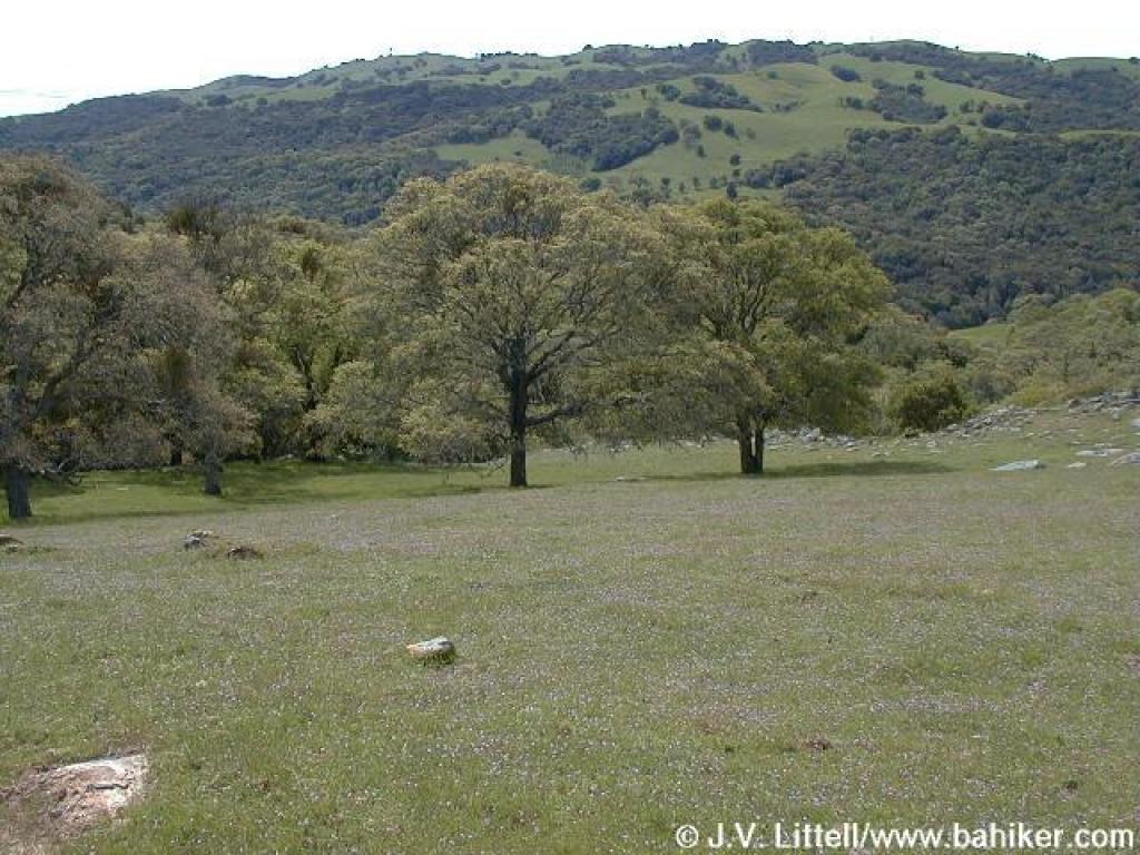
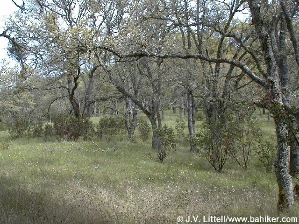
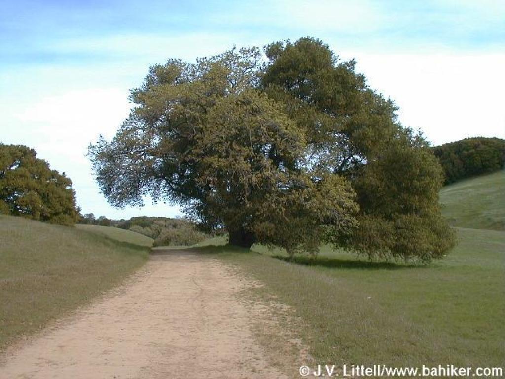 Coast live oak |
 Passing a fruit and two walnut trees |
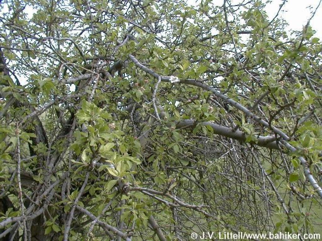 Fruit tree |
||||
 Popcorn flowers |
 Filaree in the grass shifts the color to lavender |
 Blue Oak Trail |
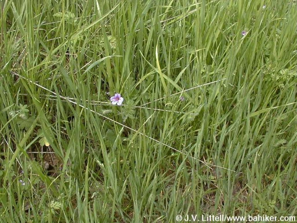
 Flowers on the side of the trail |
||||
 Diablo visible from Blue Oak Trail |
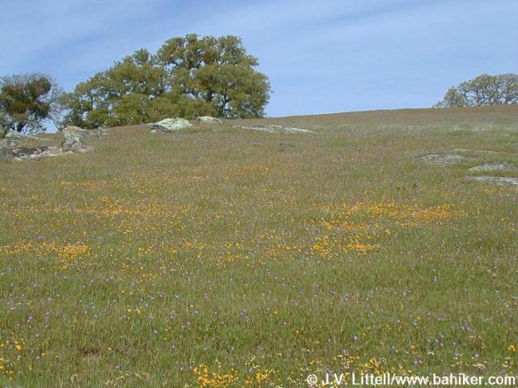
 Goldenfields |
 View west |
 Another nice Diablo view |
||||
 Junction |
 Blue Oak Trail |
 Goldenfields and filaree |
 Junction with Hummingbird Trail |
||||
 New blue oak leaves |
 Short climb |
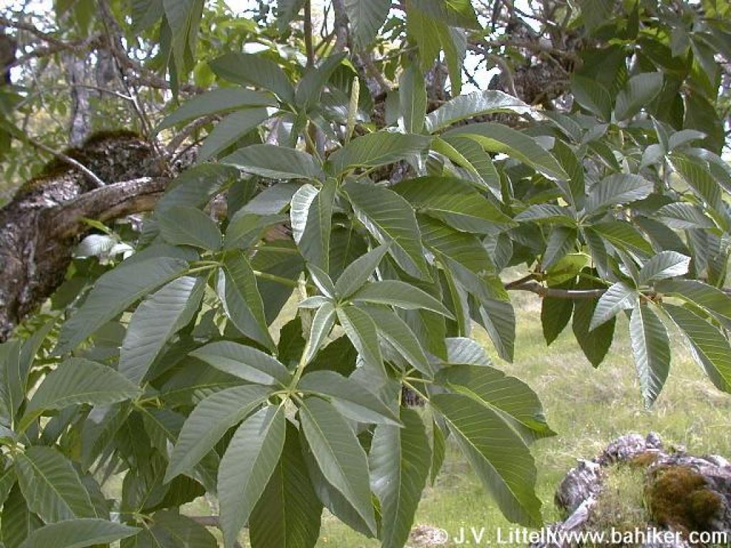 Buckeye |
 Filaree: hard to believe such a tiny flower can change the color of an entire grassy hillside |
||||
 Big fat scary spider |
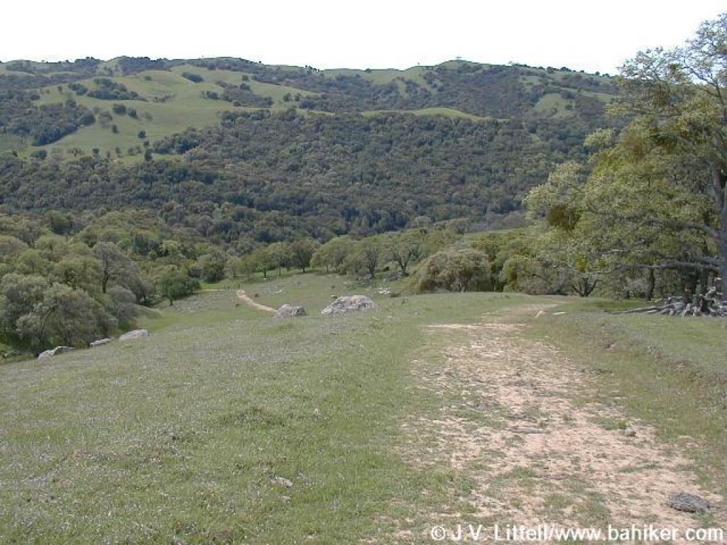
 Blue Oak Trail |
 Woodland stars |
 Junction with Volvon Trail |
||||
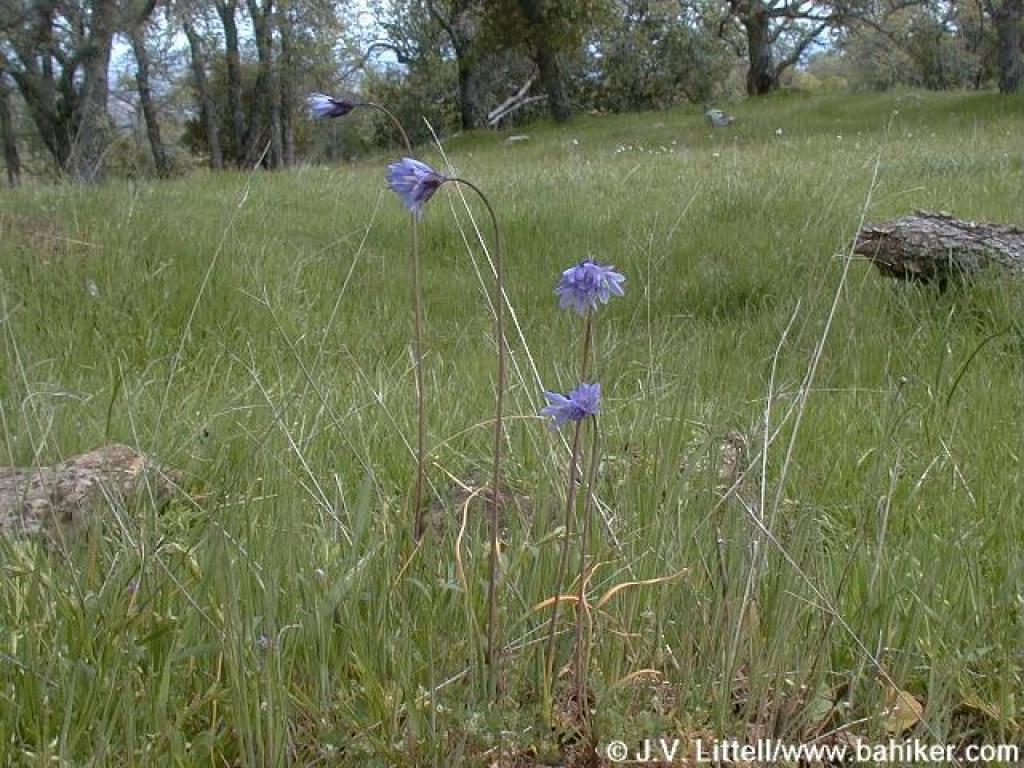 Blue dicks |
 Approaching junction with Valley View Trail |
 Volvon Trail |
 Approaching junction with Bob Walker Regional Trail |
||||
 View east |
 Volvon Trail view north |
 Descending on Volvon Trail |
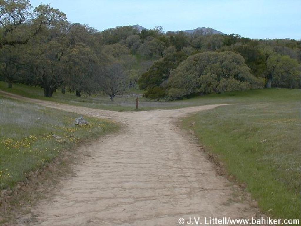
 Junction |
||||
 Fiddleneck |
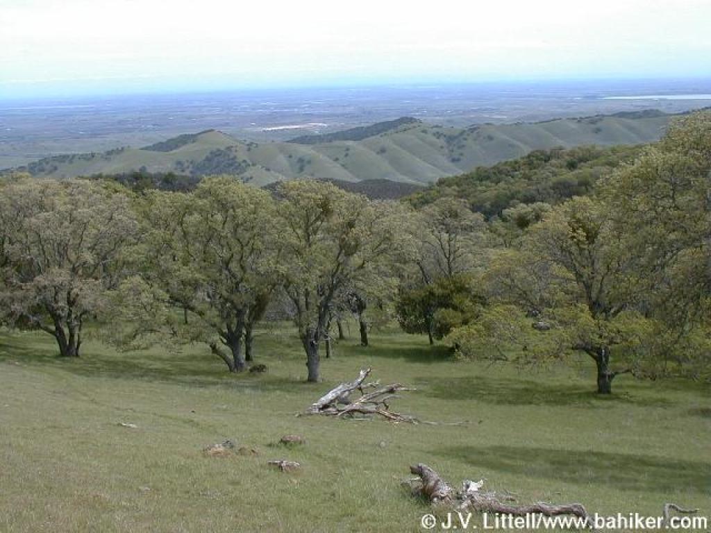
 Oaks and view west |
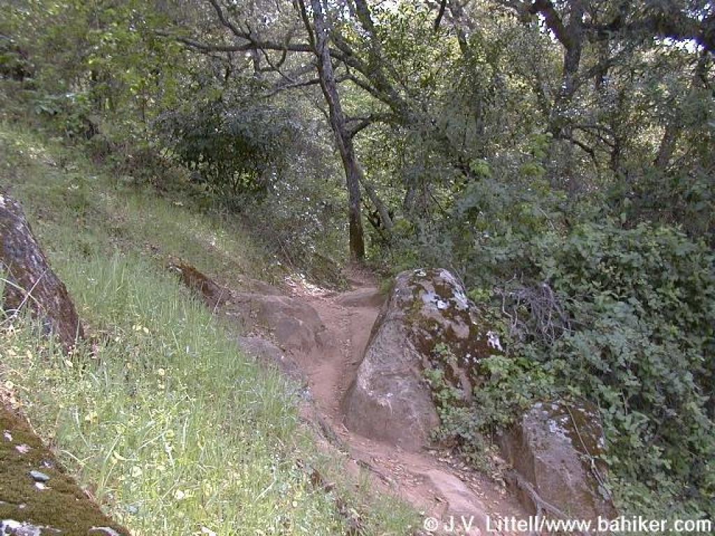
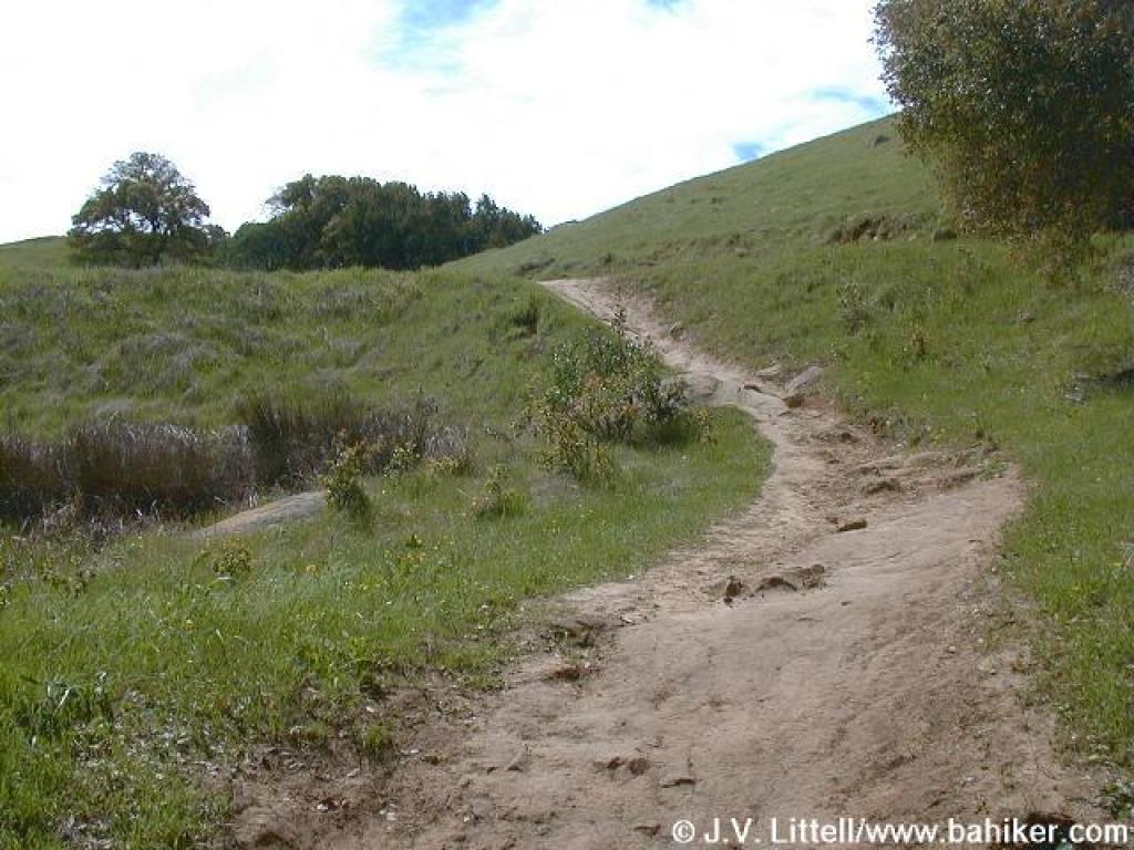
 Descending on Stone Corral Trail |
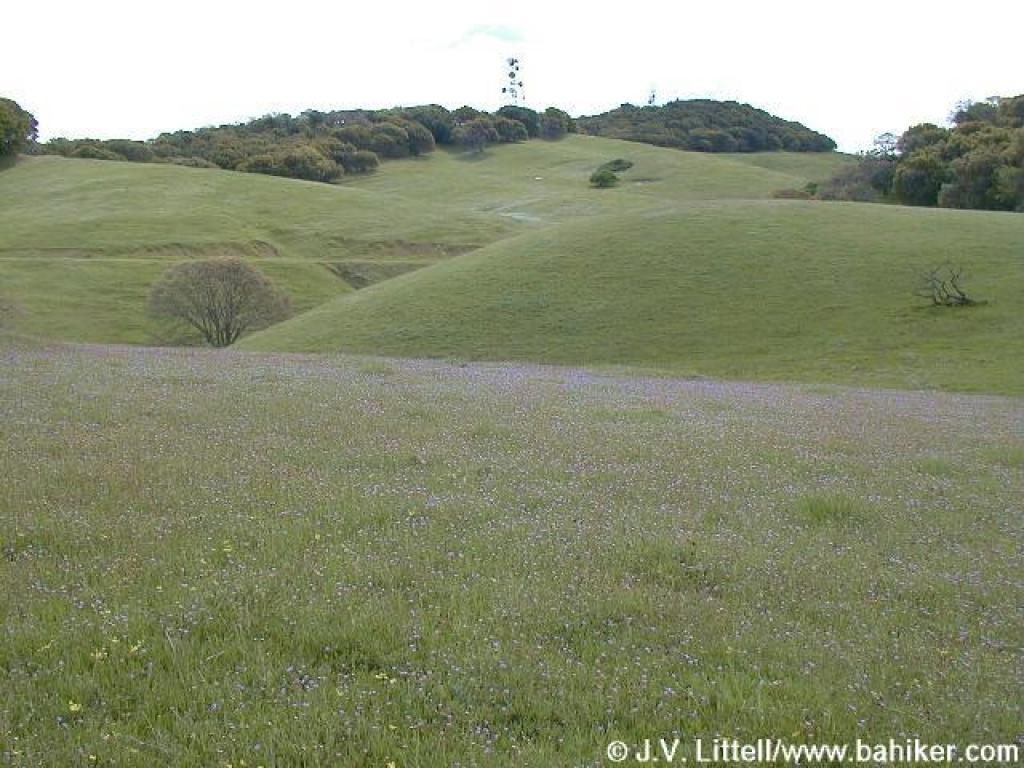
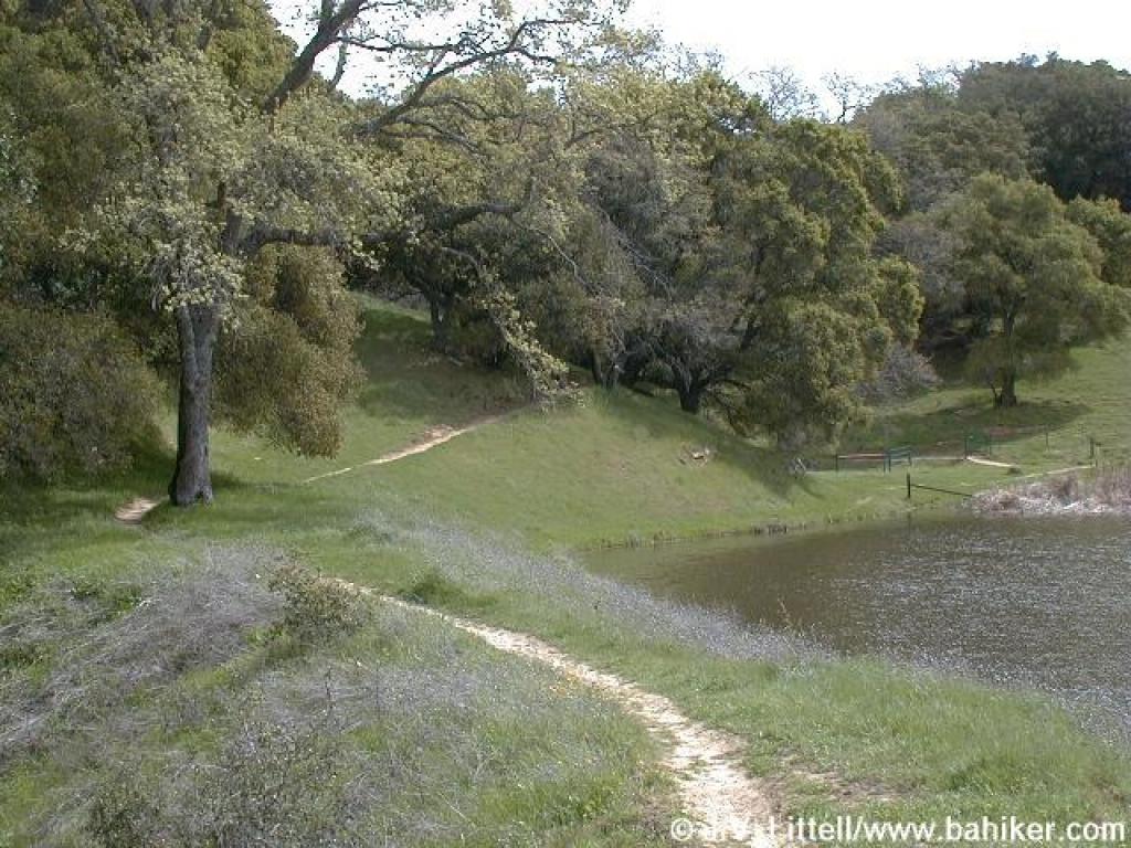
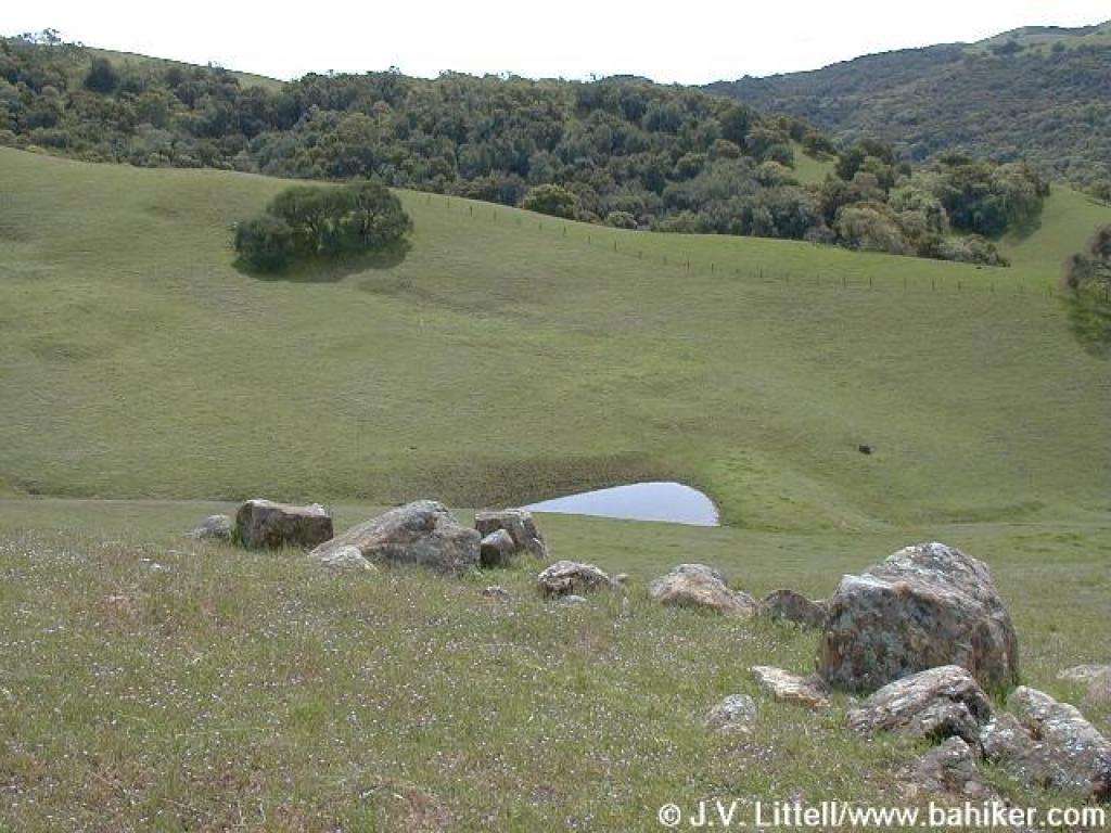 Little pond and pretty hillside |
||||
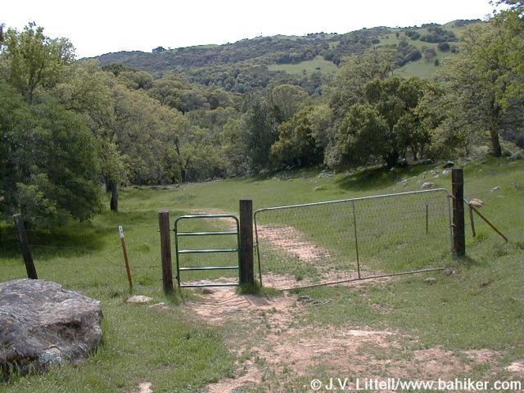 Cattle gate |
 Bluedicks |
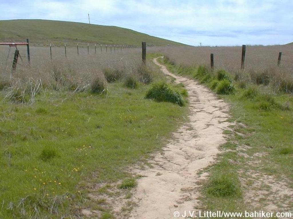
 Stone Corral Trail |
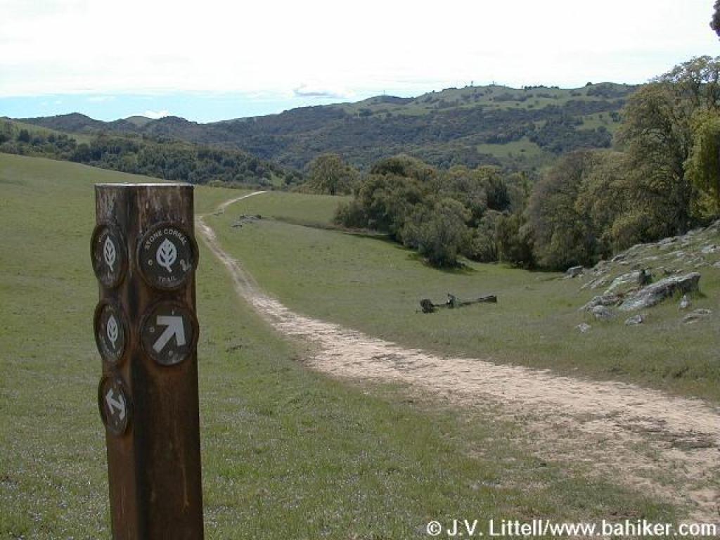
 Junction with Coyote Trail |
||||
 Coyote Trail |
 Cattle gate |
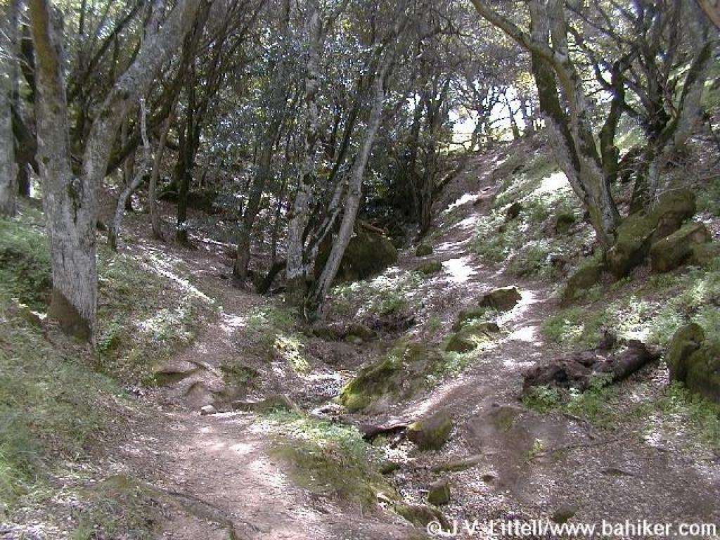
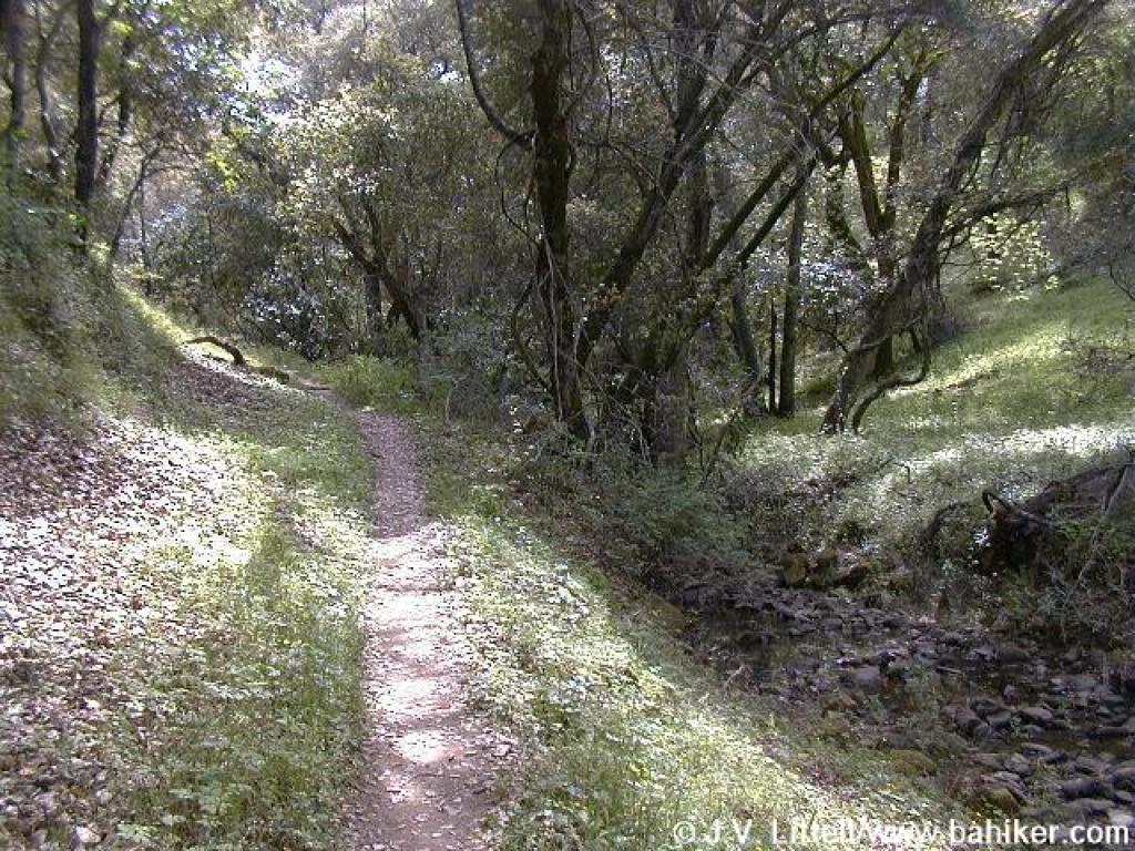 Along the creek |
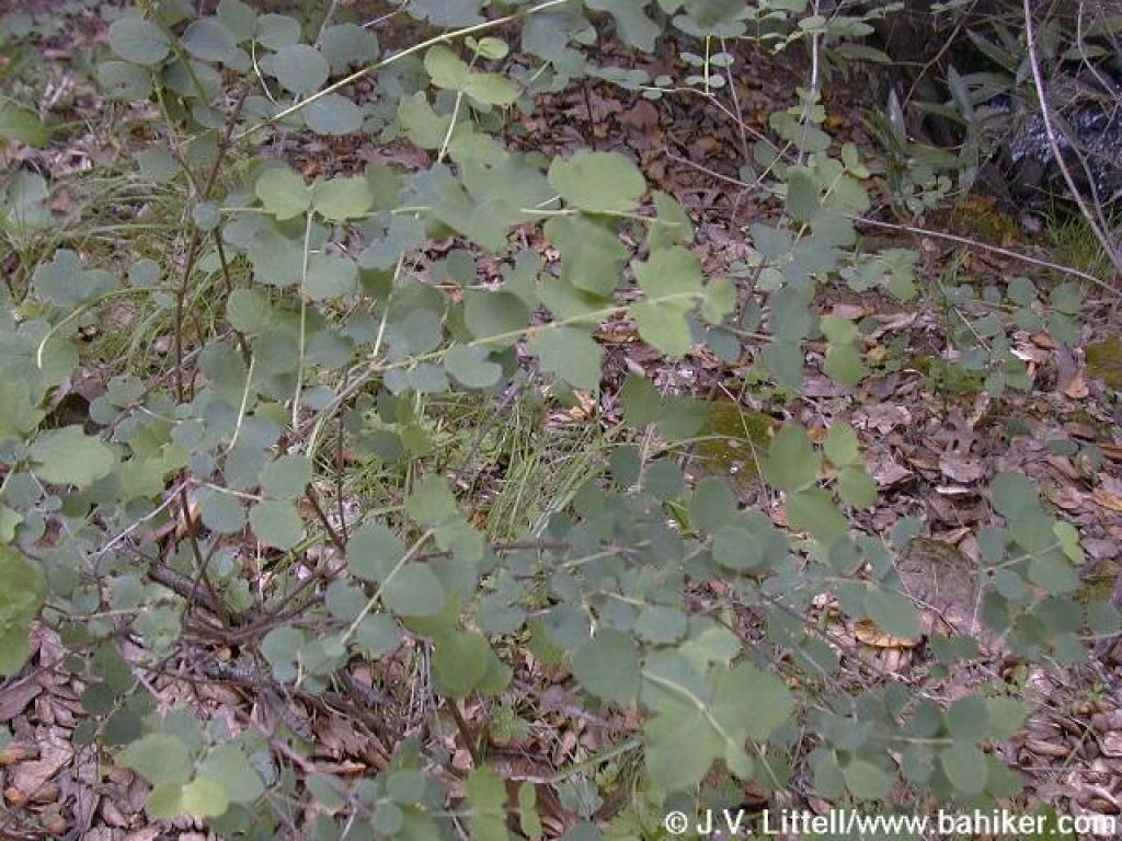 Snowberry |
||||
 Black oak leaves |
 Manzanitas |
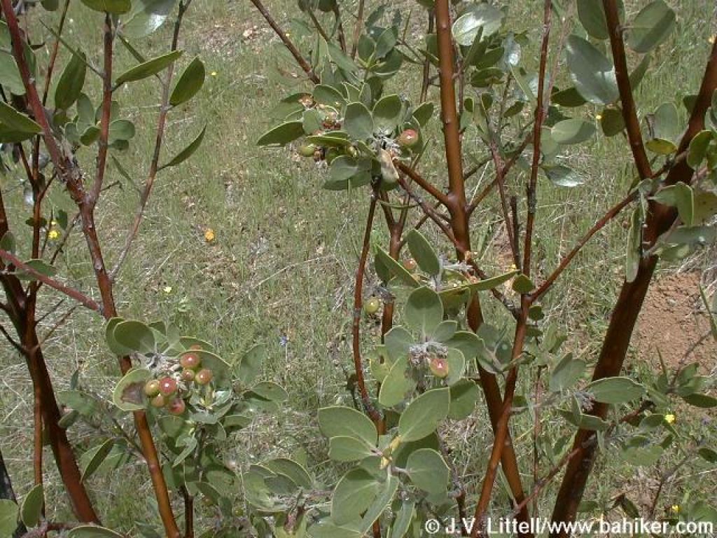 Manzanita |
 Junction |
||||
 Maple |
 Climbing |
 Steep |
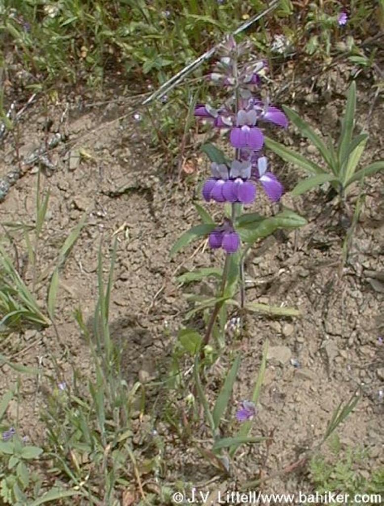
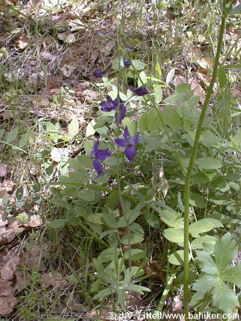 Larkspur |
||||
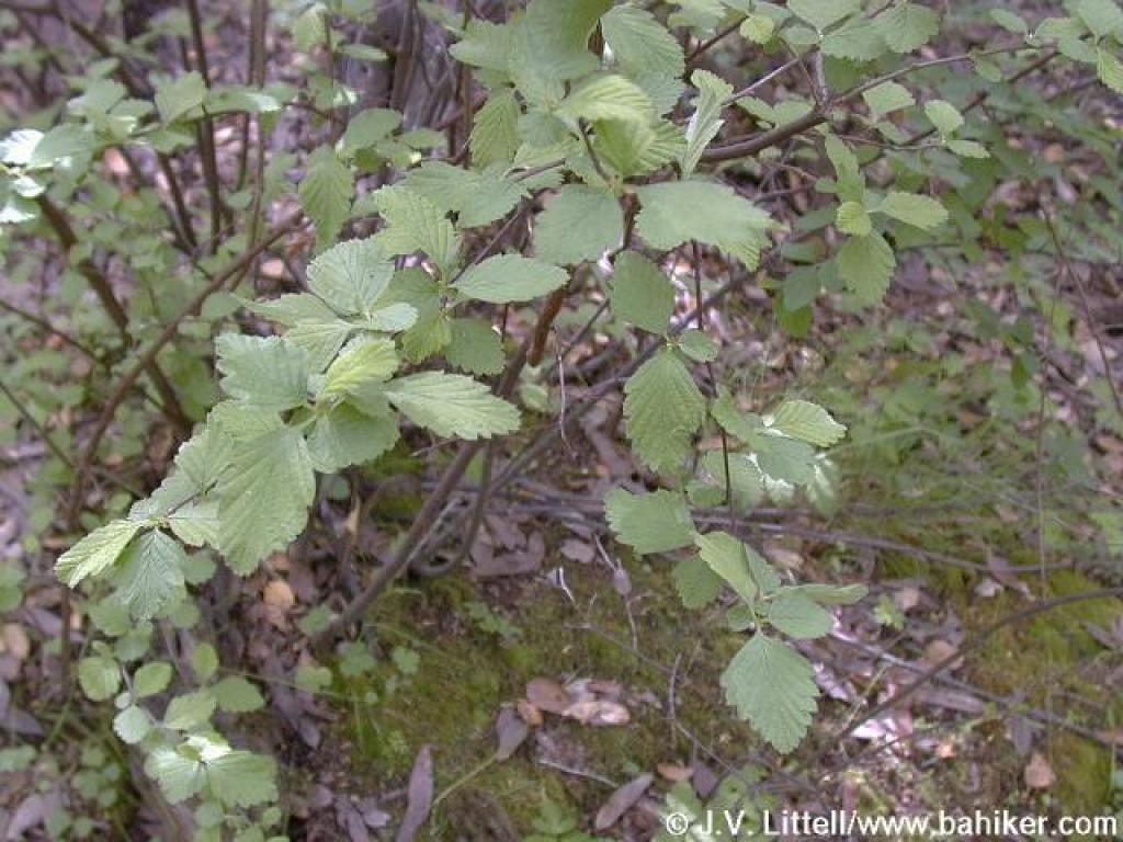 Creambush |
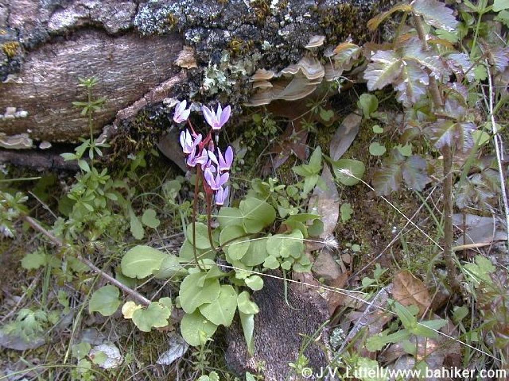 Shooting stars |
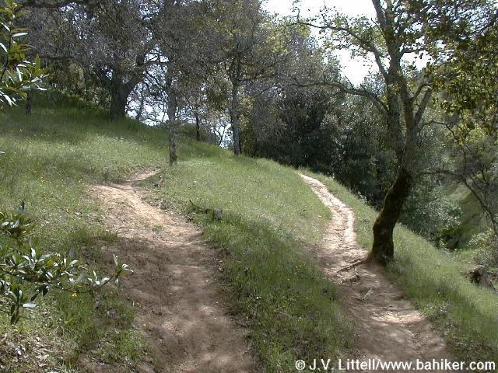
 Coyote Trail |
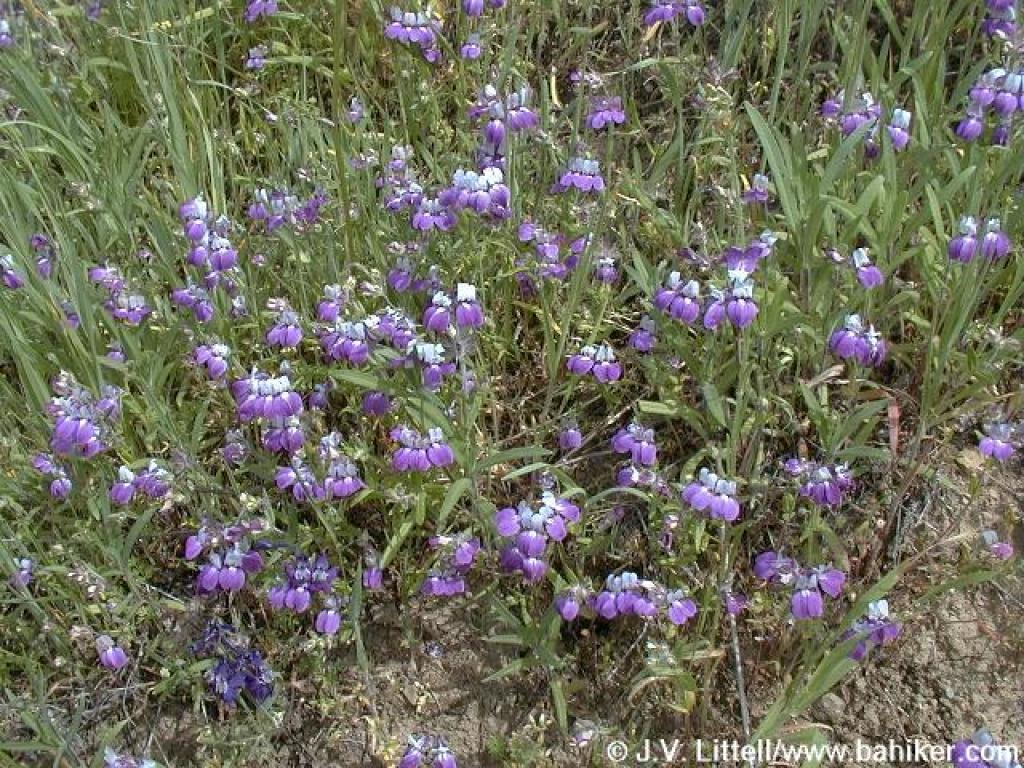
 Flowers on the side of the trail |
||||
 Chinese houses |
 Chinese houses |
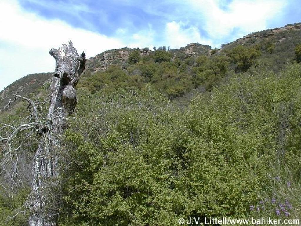 View from the trail to high rock formation |
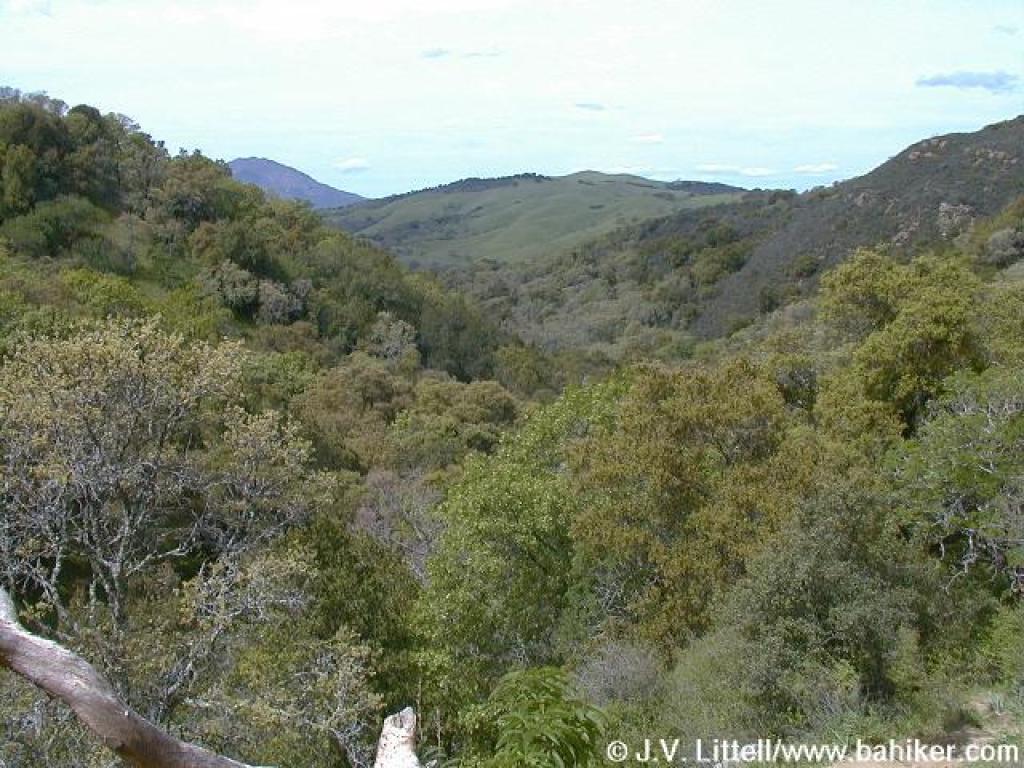 View back down the canyon |
||||
 Still climbing |
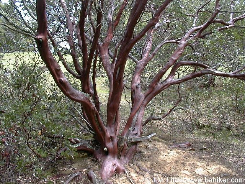 Manzanita |
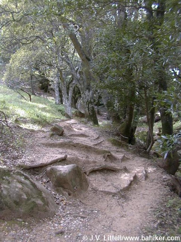 Roots on the trail |
 Creek crossing |
||||
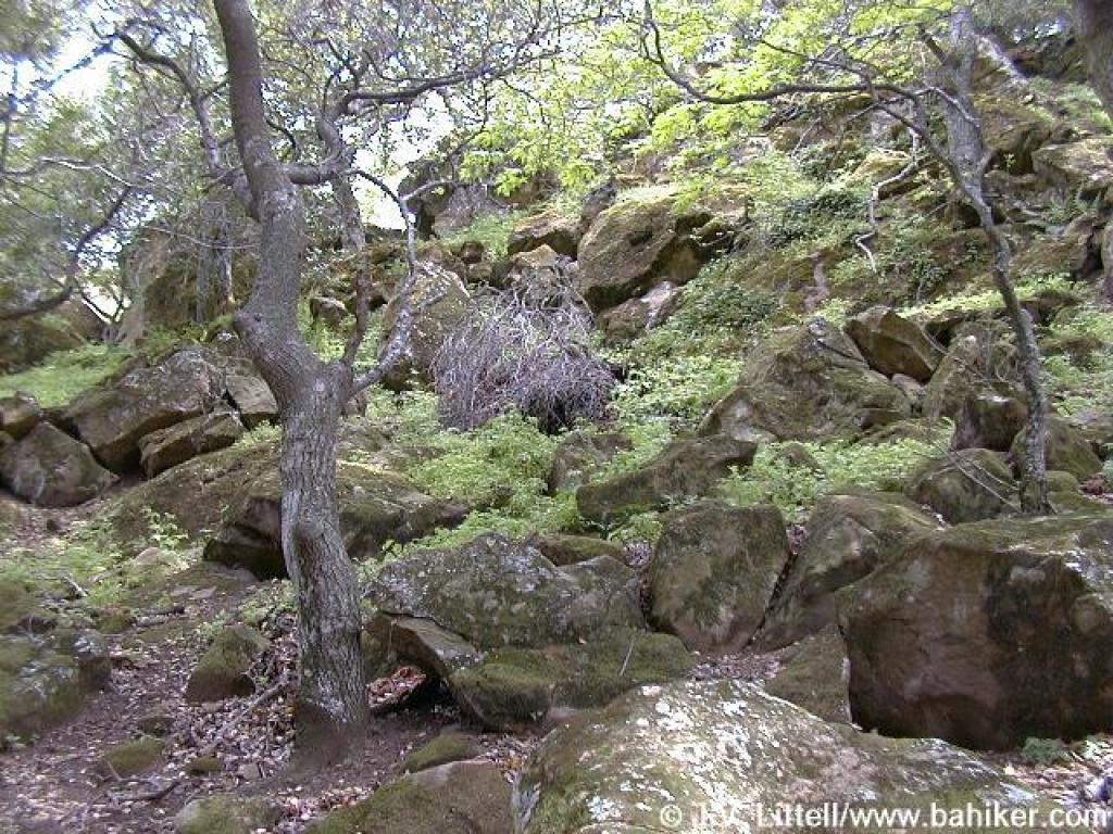 Boulders on the side of the creek |
 Out of the woods |
 Passing a pond |
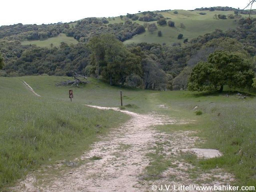
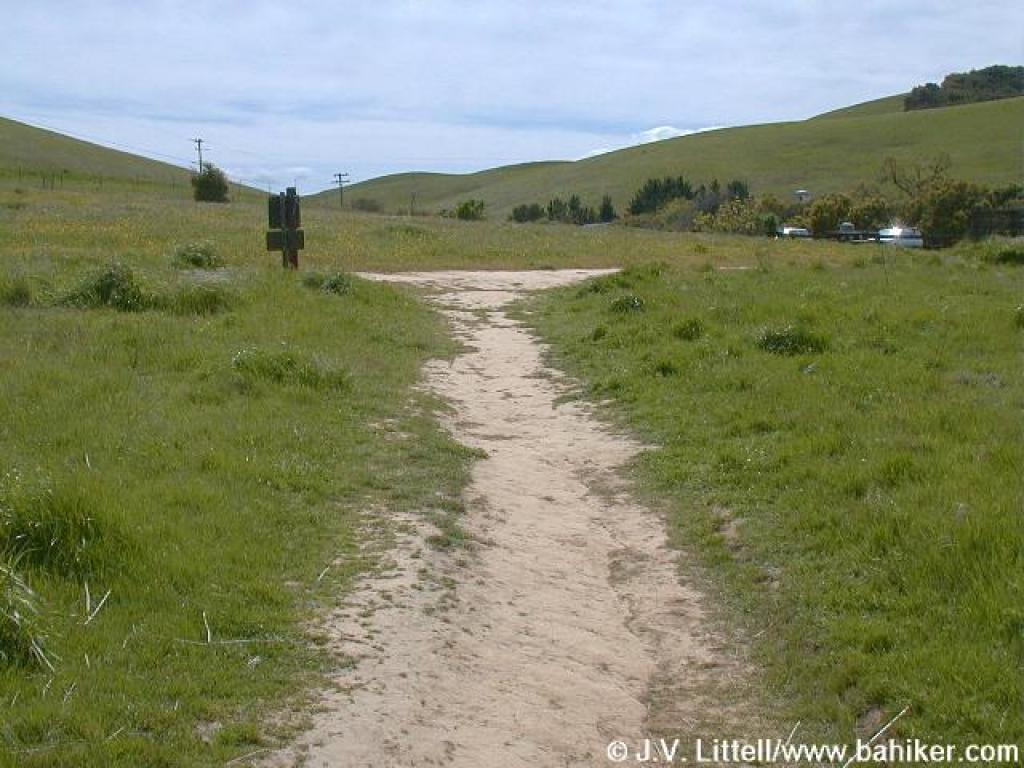
 Approaching junction |
||||
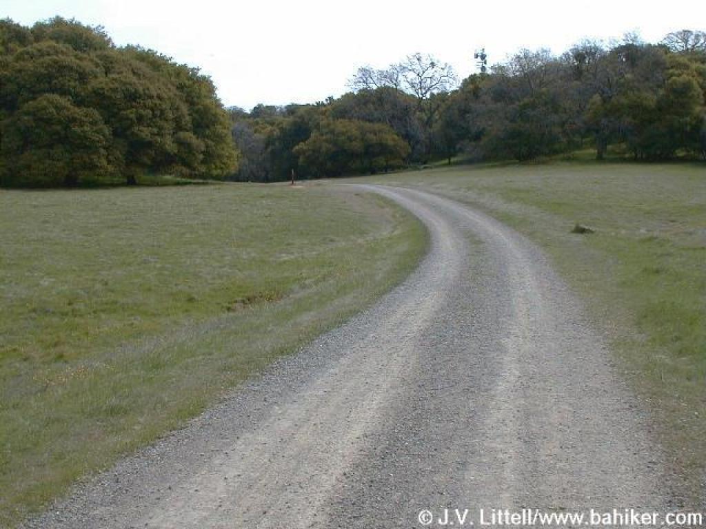
 Coyote Trail |
 Junction |
Go to Bay Area Hiker Morgan Territory page Go to Bay Area Hiker Home page |
|||||