| Photos
from a January 2002 hike at Alto Bowl Open Space Preserve (click on any image for a larger view) |
|||||||
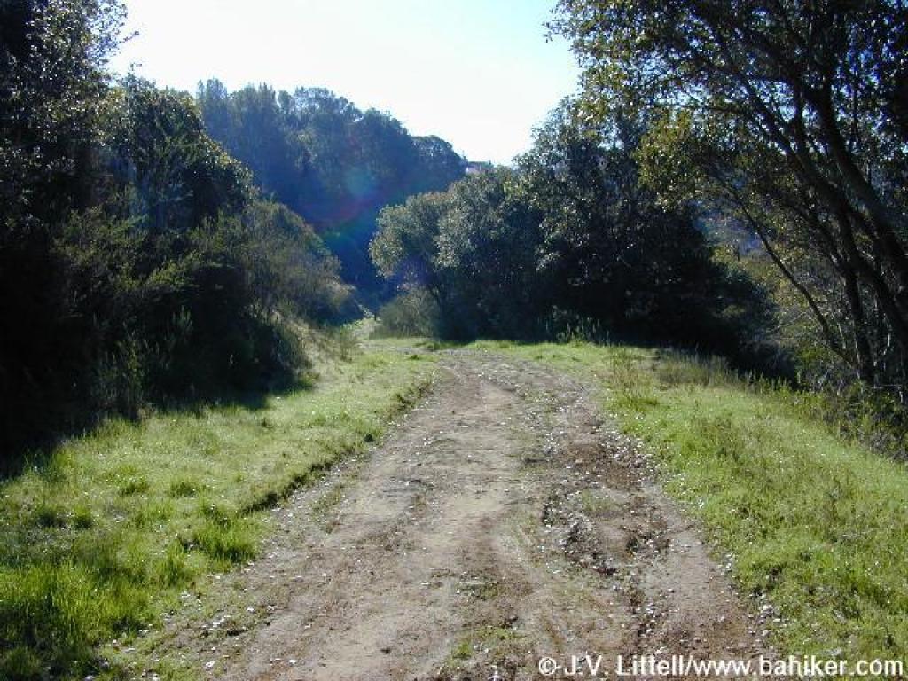
 Trailhead Trailhead |
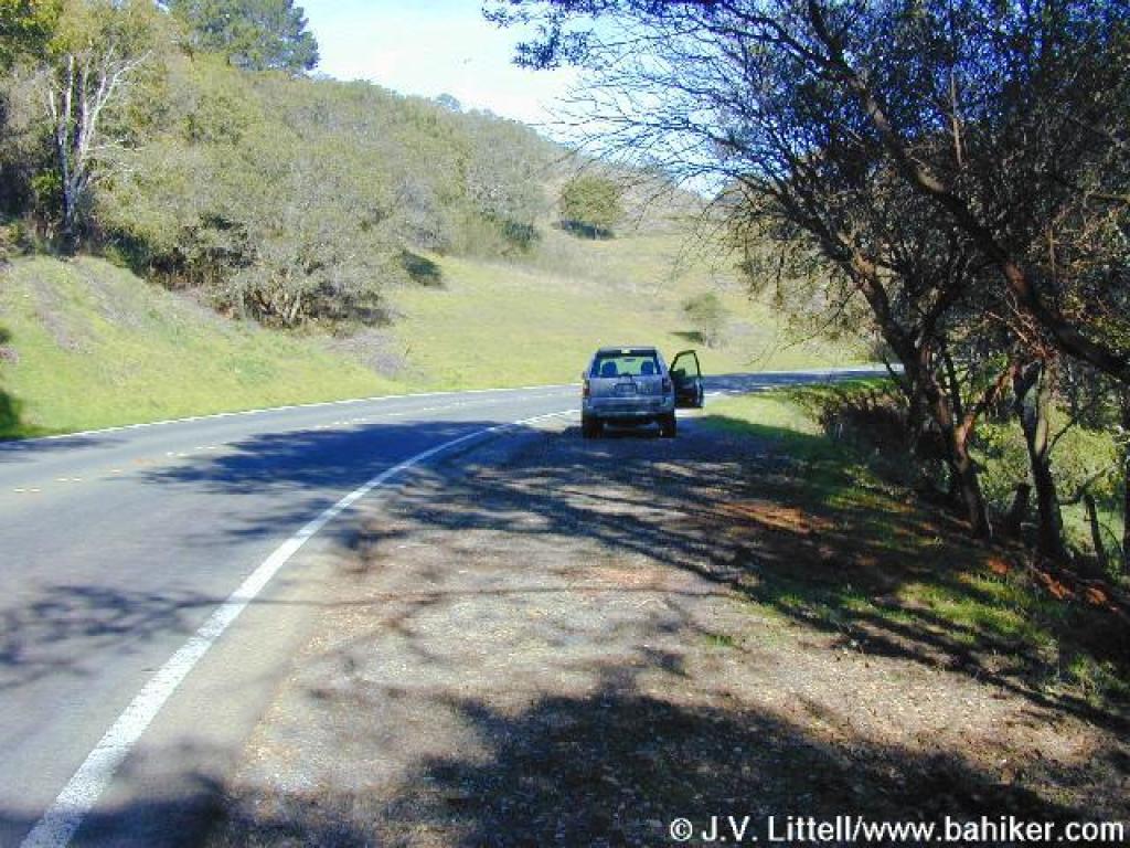
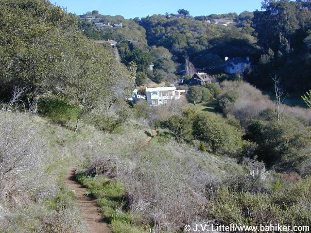
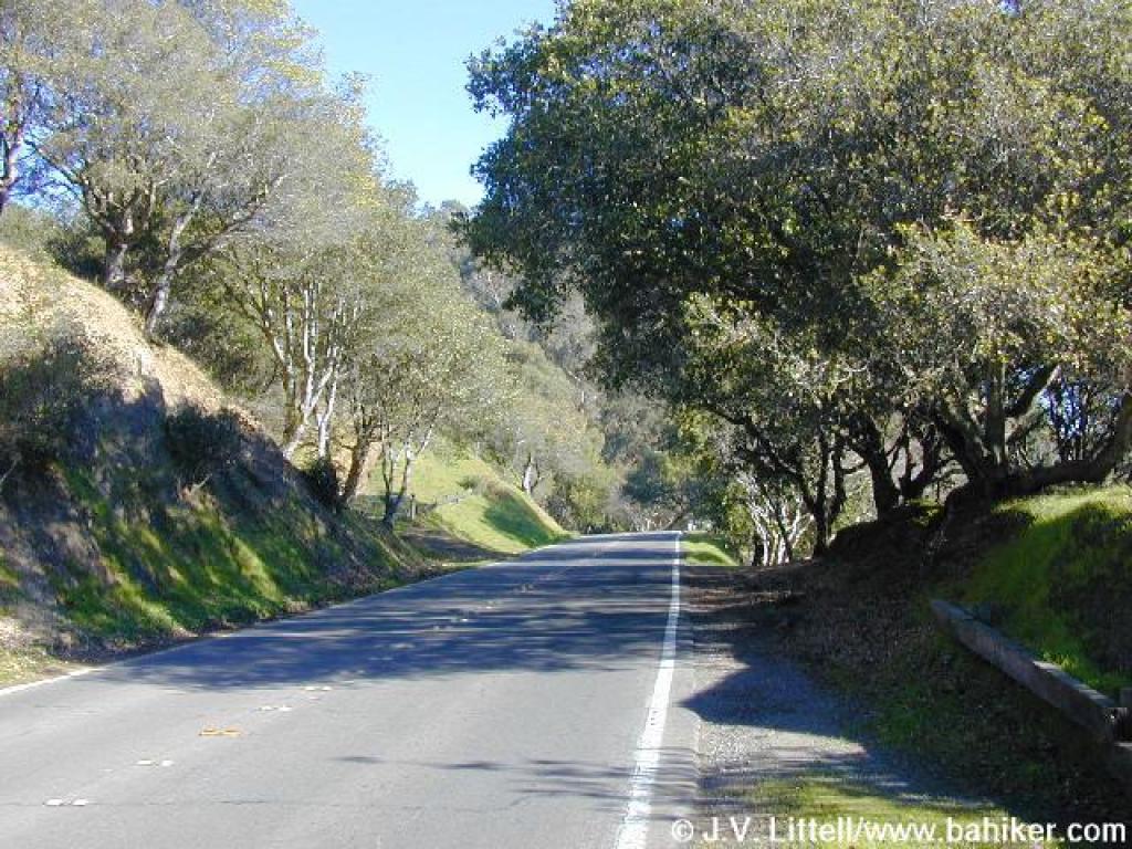 Walking along Camino Alto |
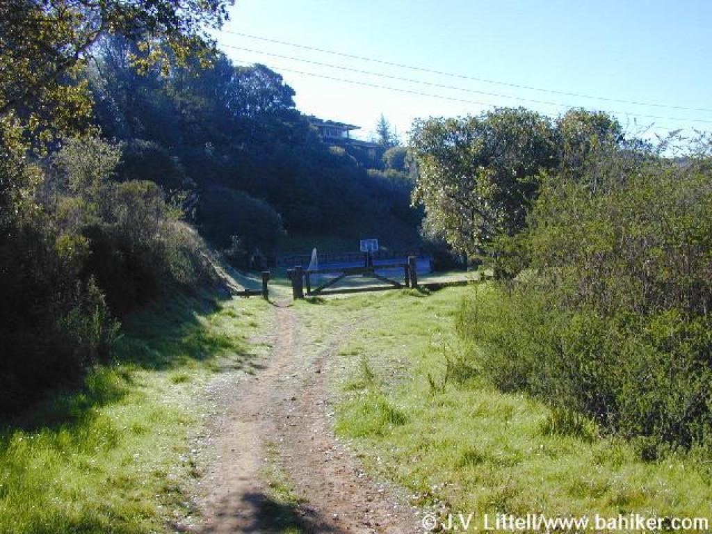
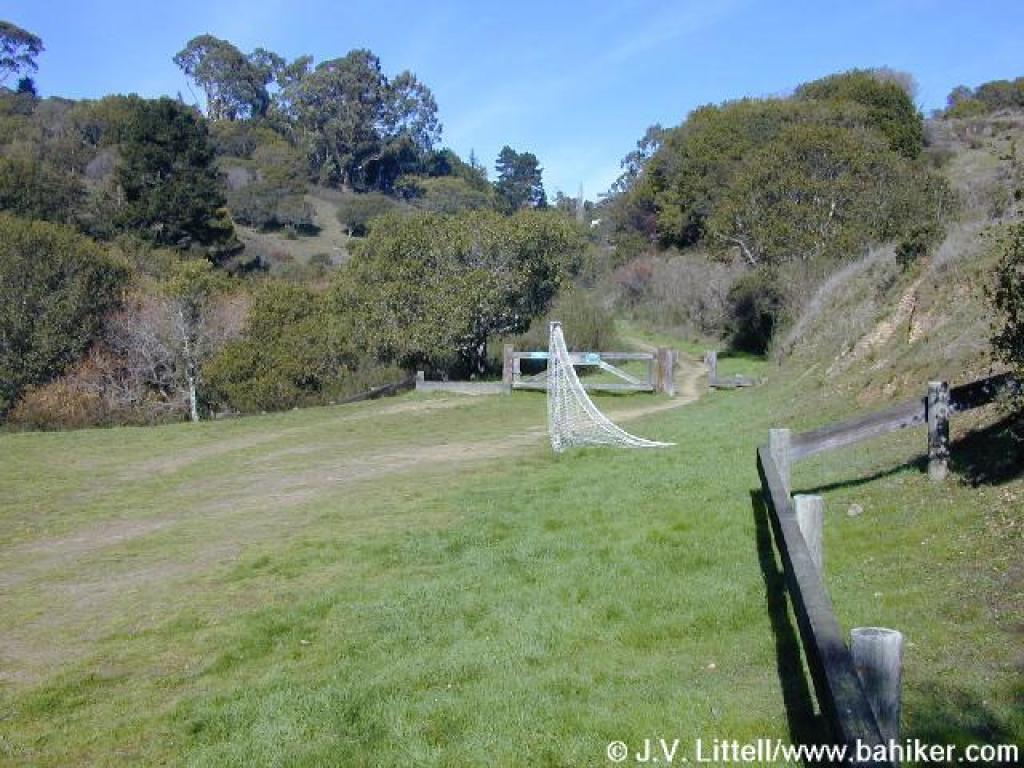
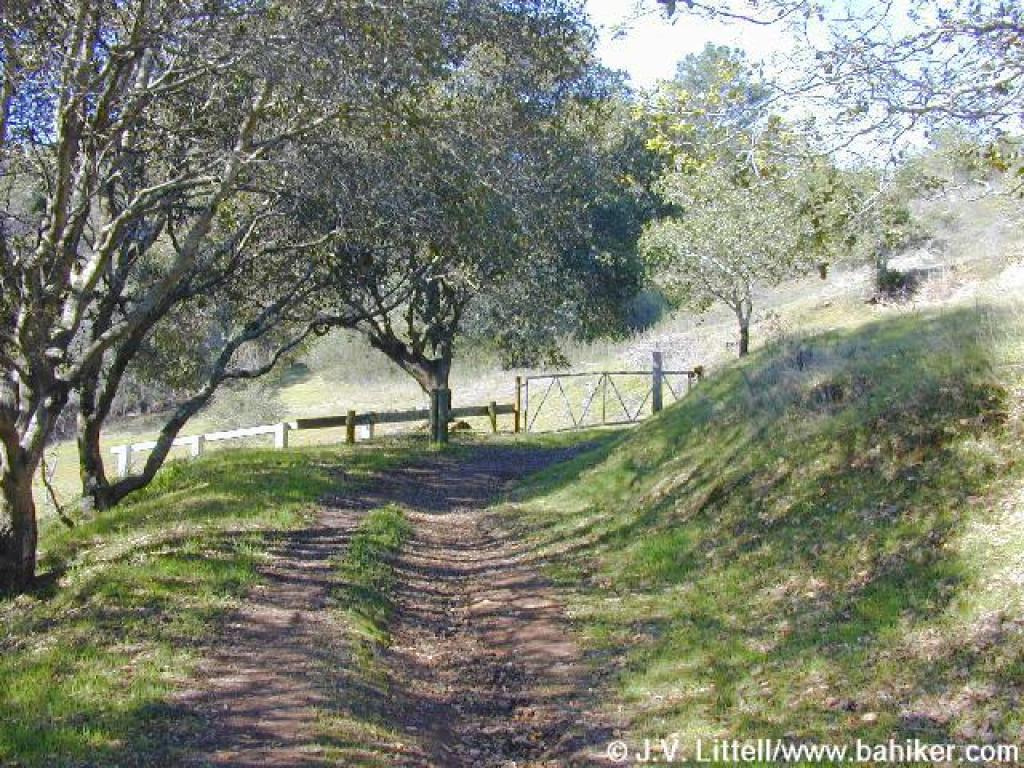
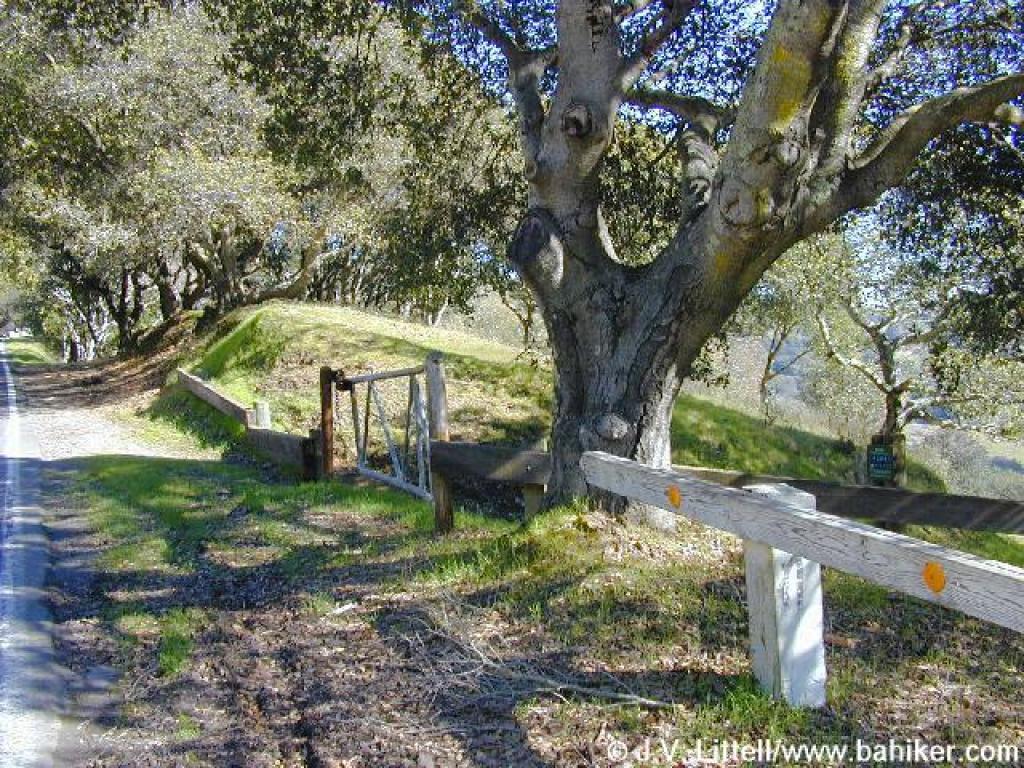 Gate and trail entrance |
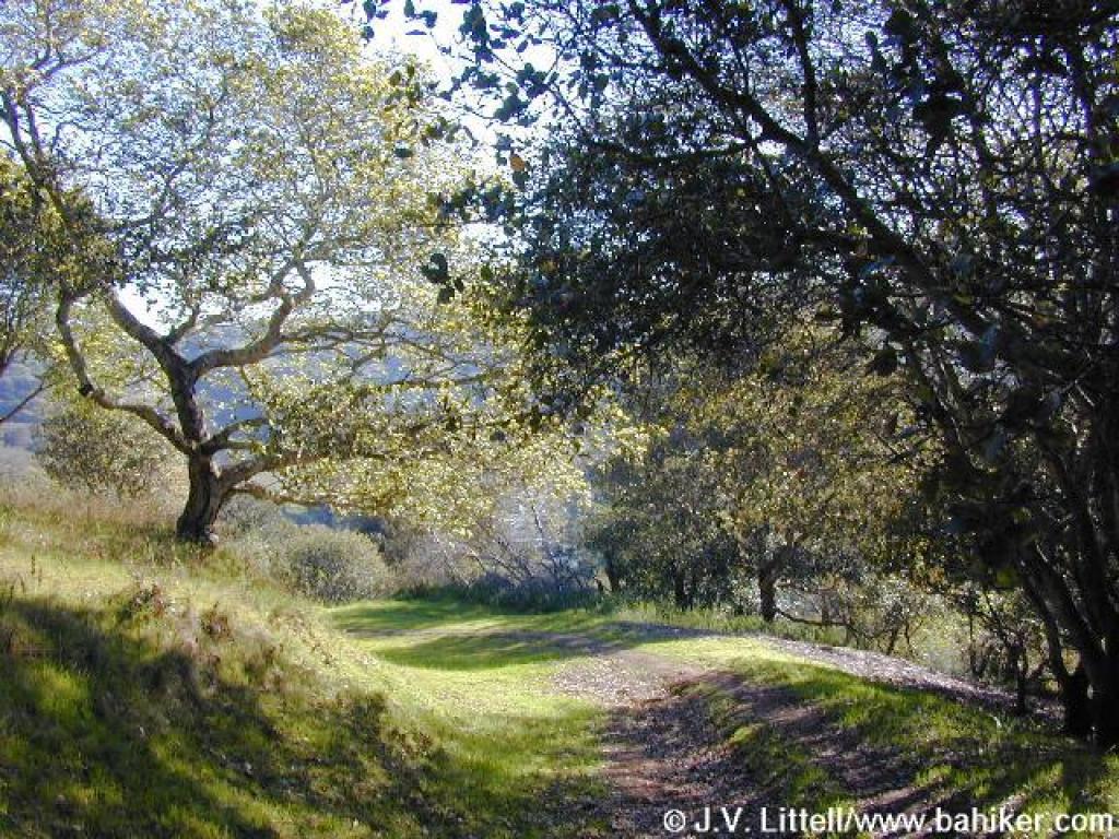 Bob Middagh Trail |
||||
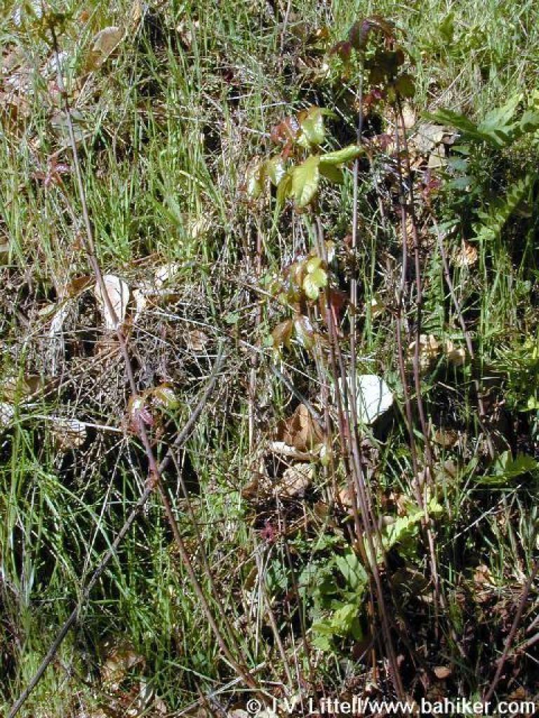 Poison oak |
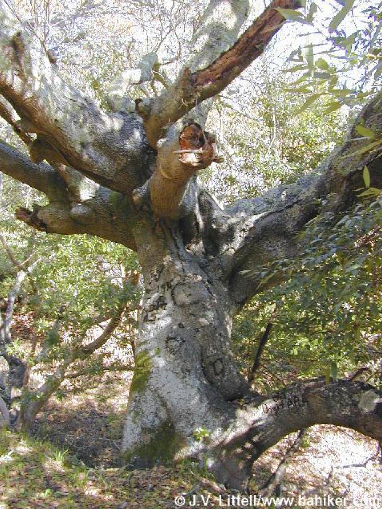 California bay |
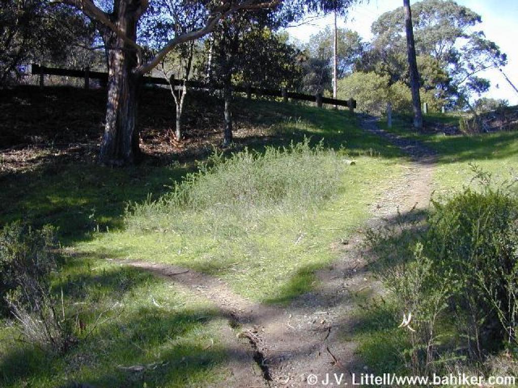
 Junction |
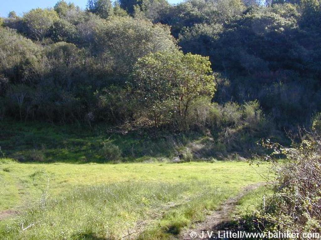
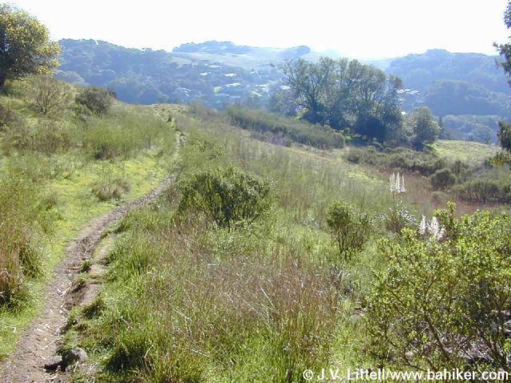 Grassland |
||||
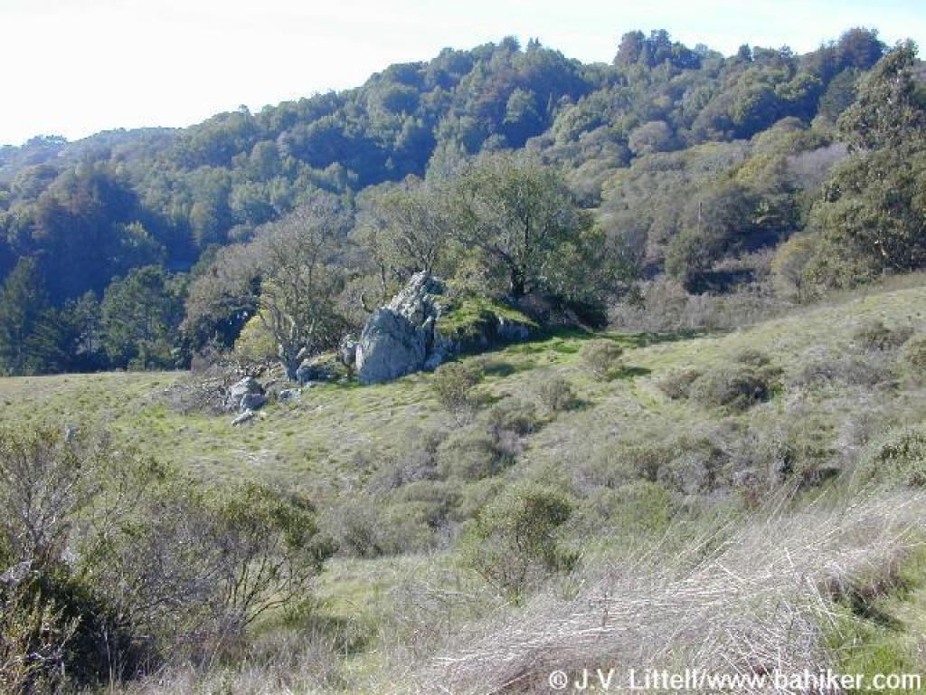 Rock outcrop |
 Bob Middagh Trail |
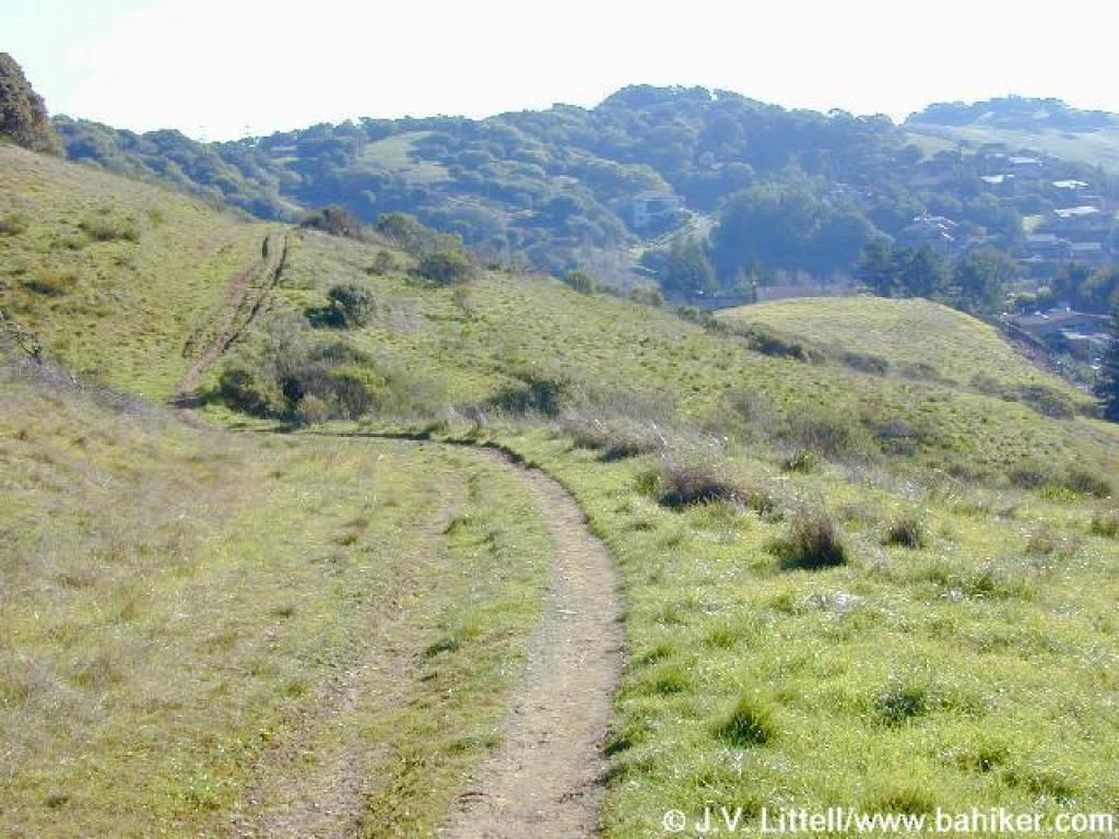
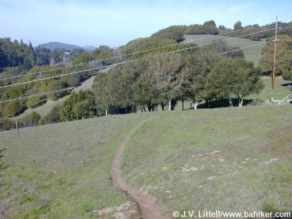
 Gently descending |
 Squeezing through broom |
||||
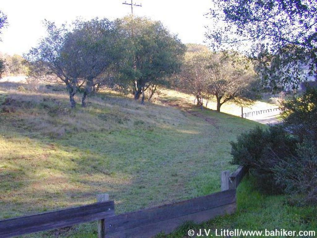
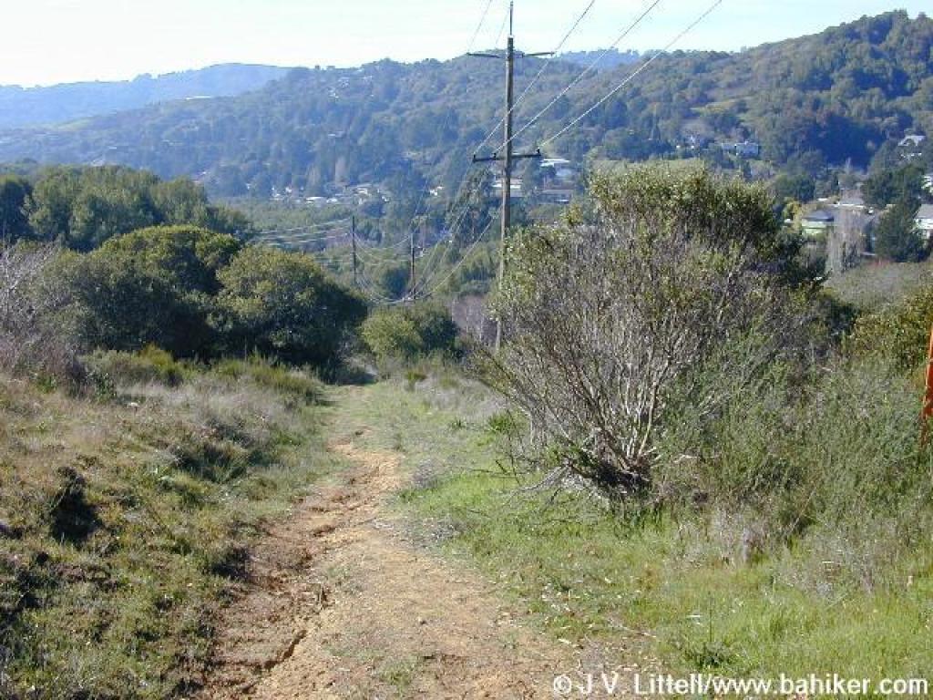
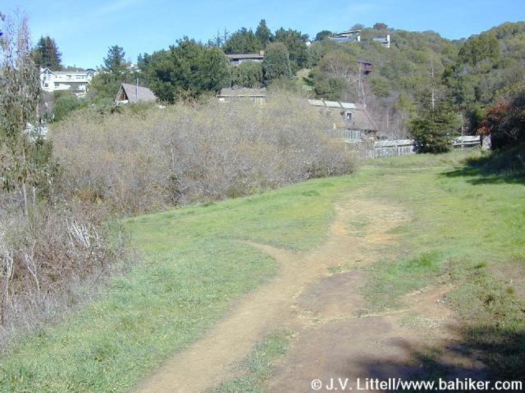
 Approaching neighborhood |
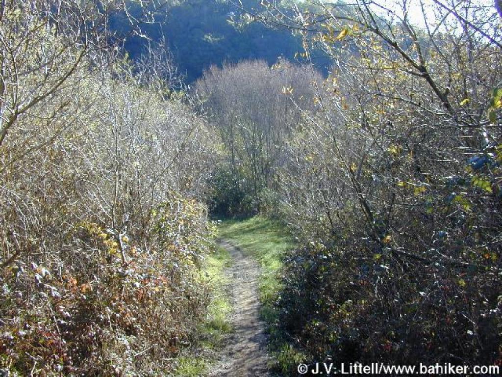 In winter the trail goes from damp... |
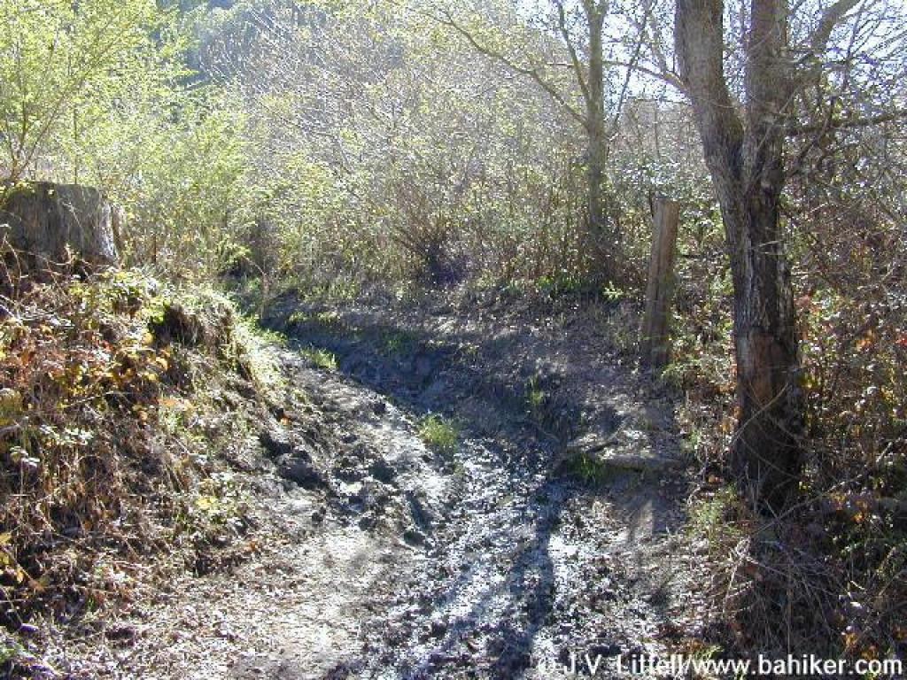 to downright muddy |
 Junction |
||||
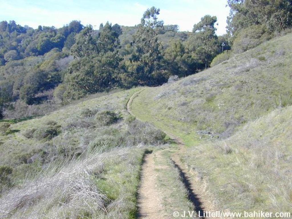
 Alto Bowl Fire Road |
 Gate at the end of the trail |
 Start of Horse Hill Trail |
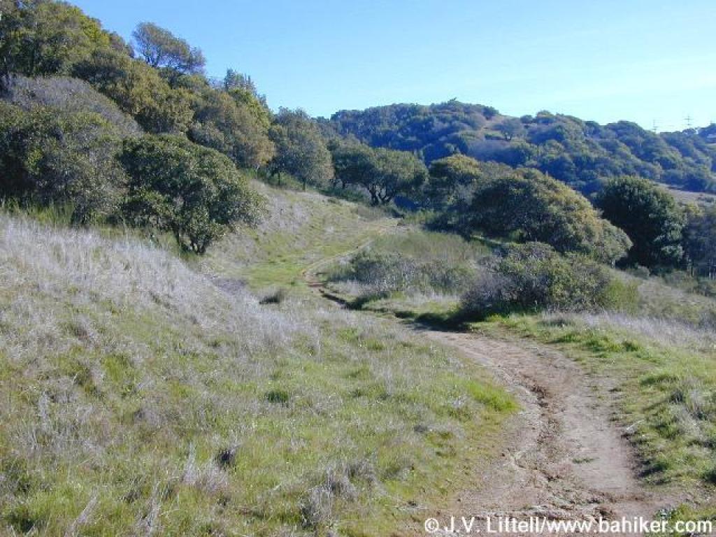
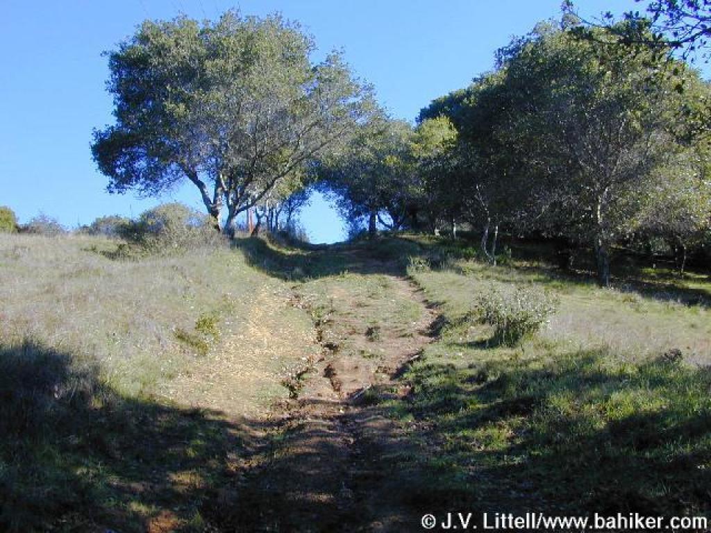 Steep ascent |
||||
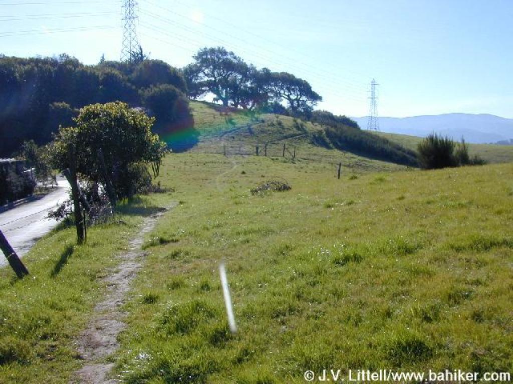
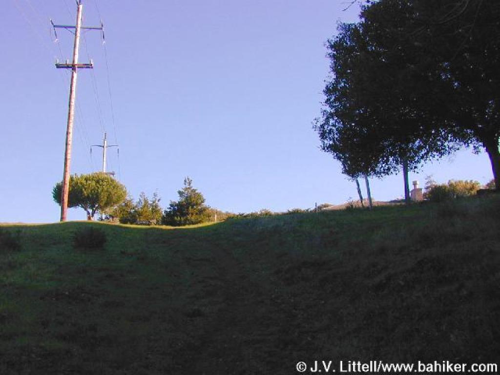 Bad photo, but at the crest of the hill, the trail veers right, across from the pole |
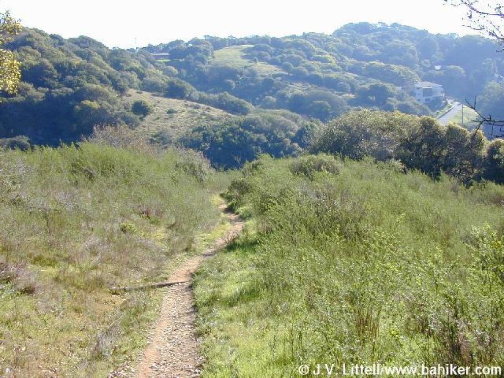
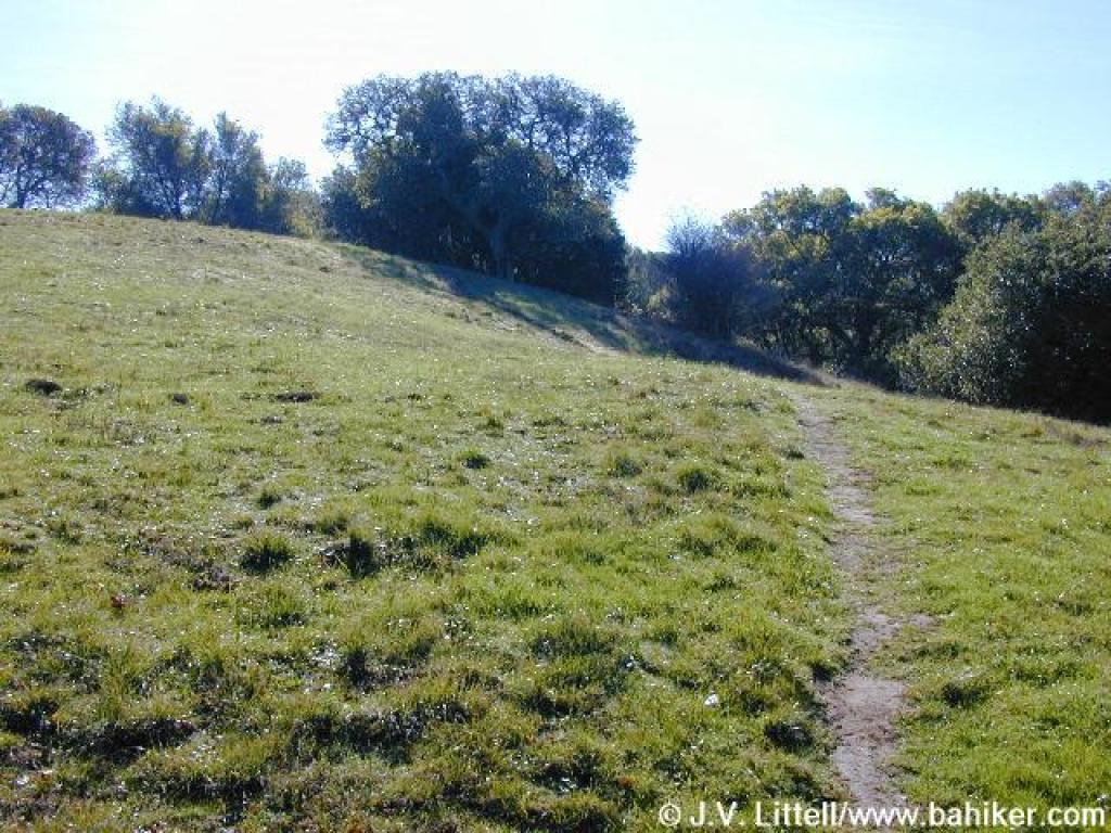 This slight path travels through grassland |
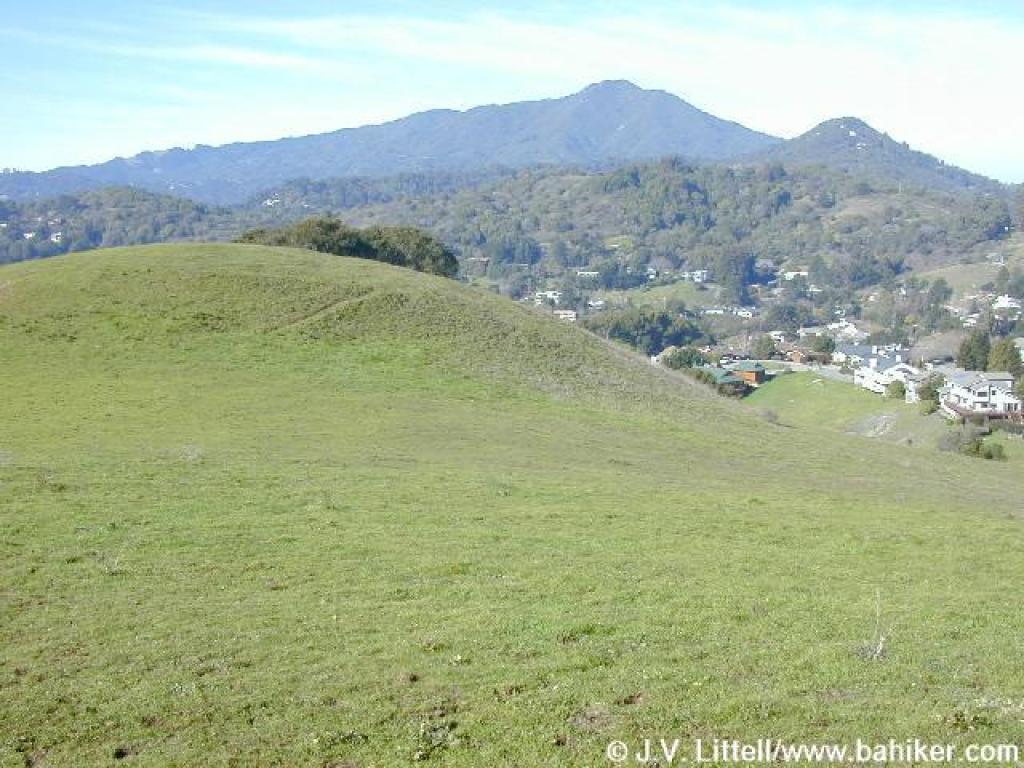
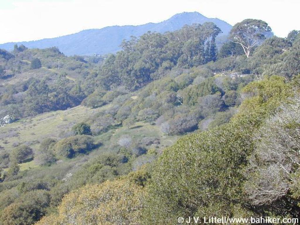 View back past Camino Alto to Mount Tamalpais |
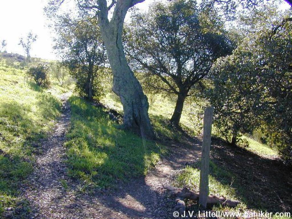
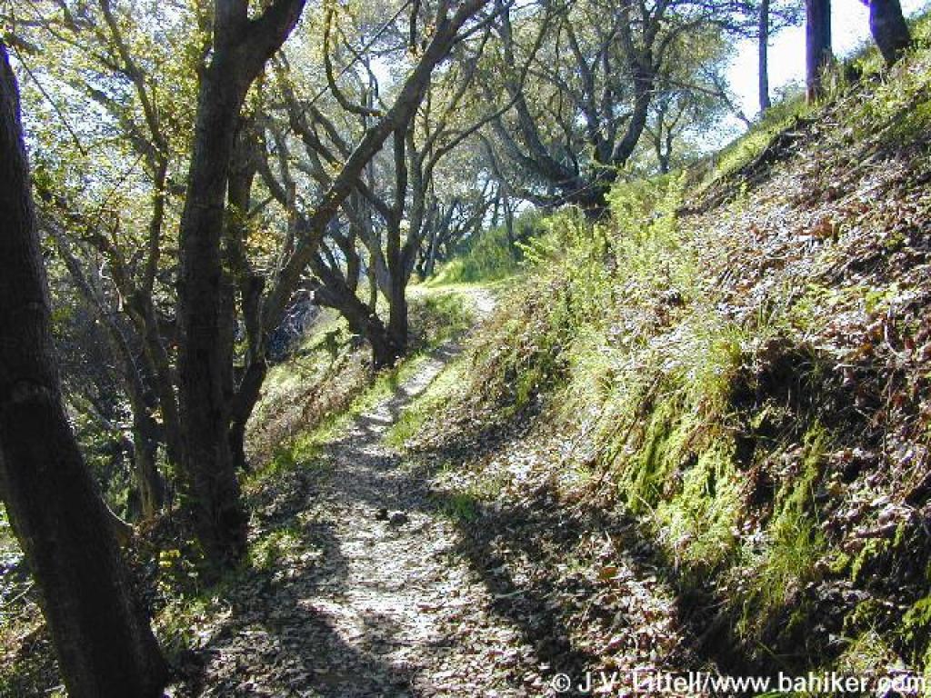
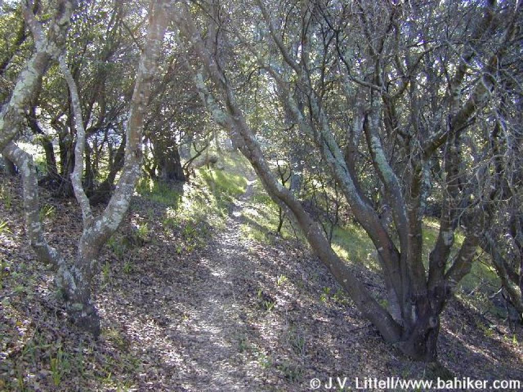 Brief shaded stretch |
||||
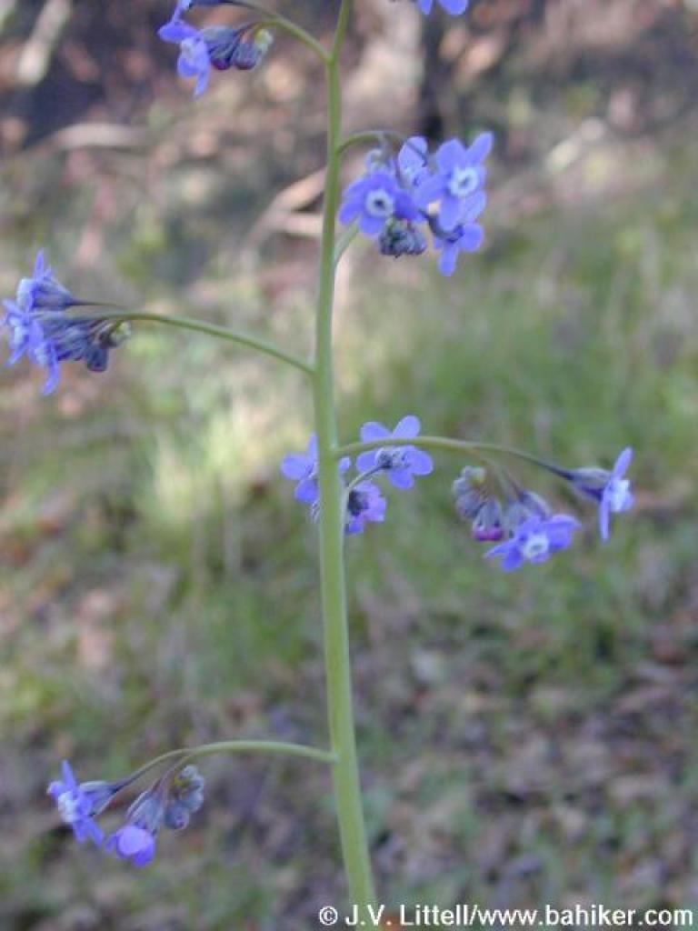 Hound's tongue |
 Trail runs near a street |
 Back into grassland |
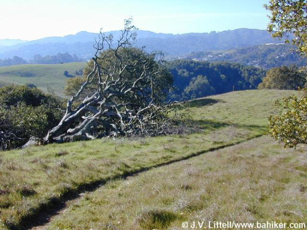
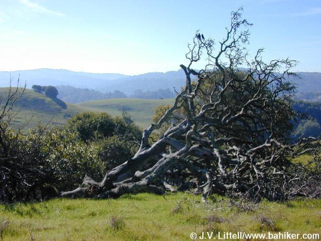 A fallen oak, with Horse Hill in the background |
||||
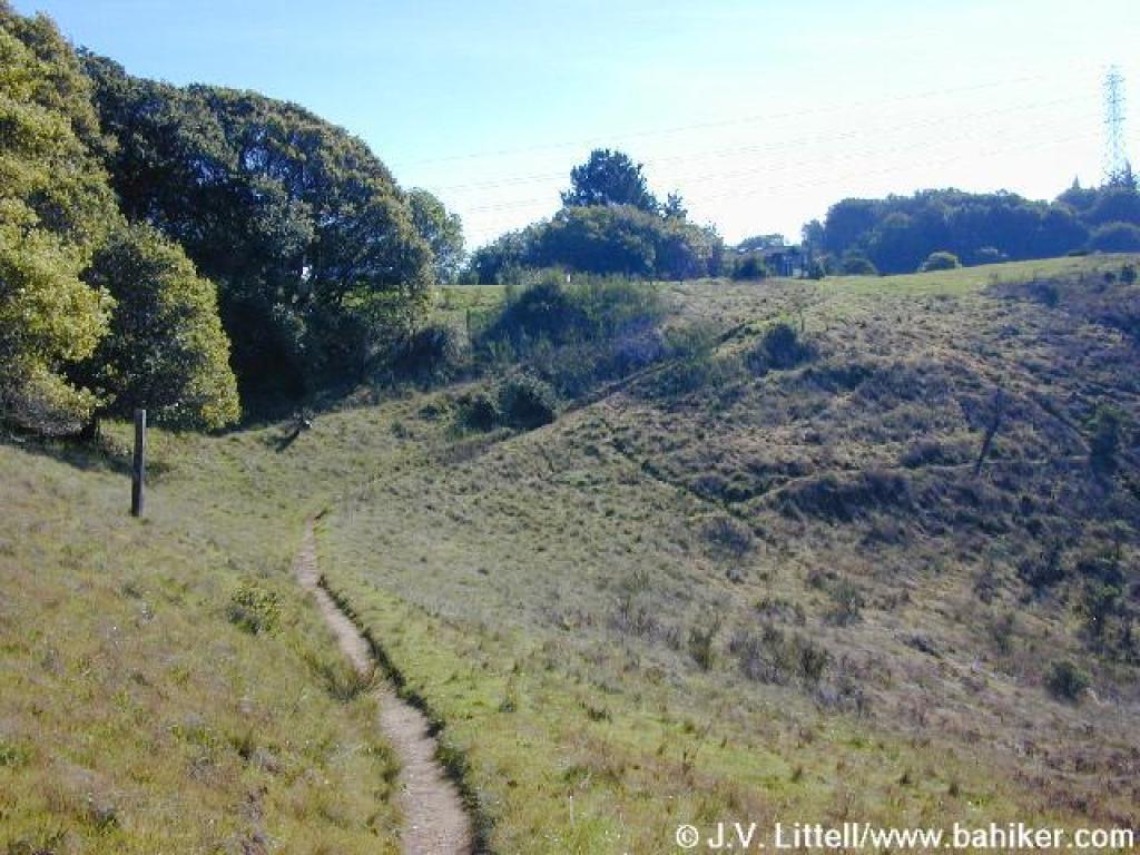 Horse Hill Trail |
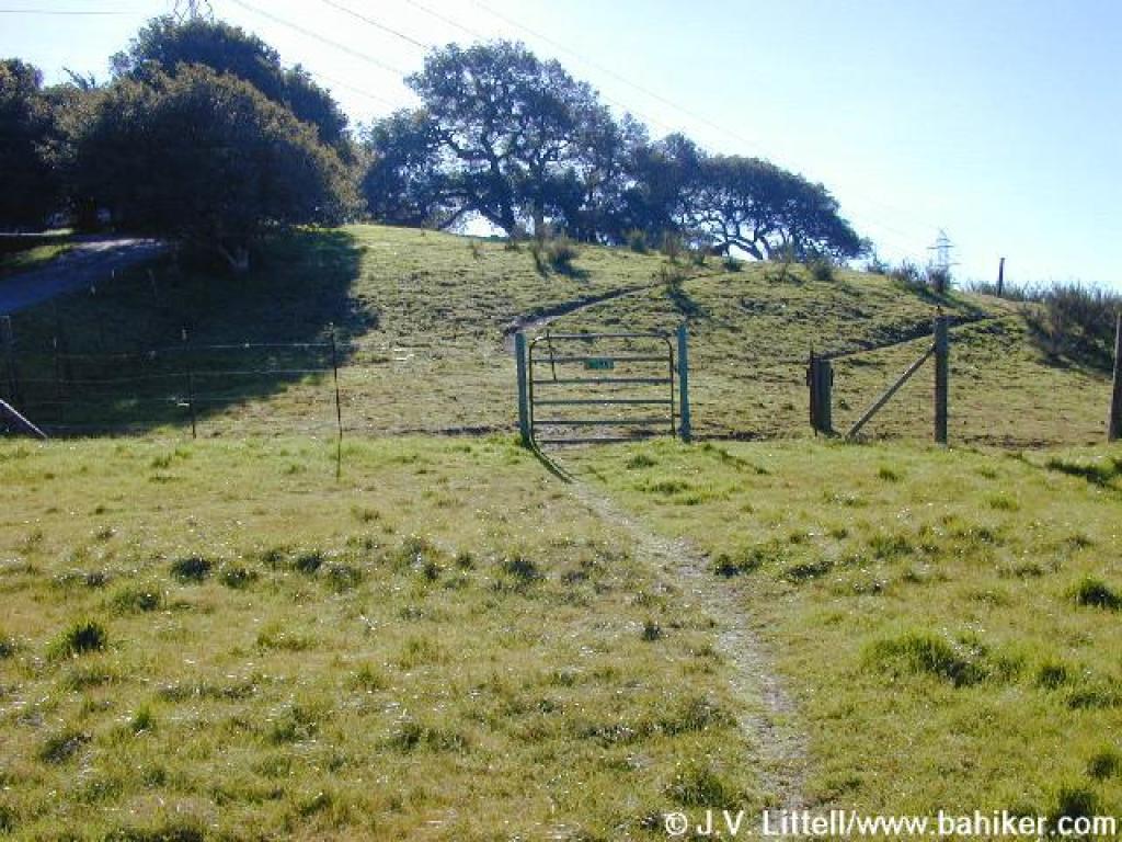
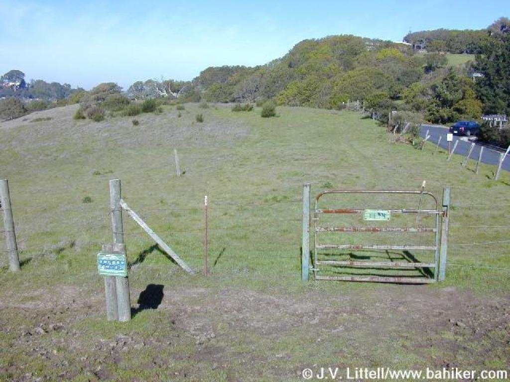
 Approaching a gate |
 Entering Horse Hill |
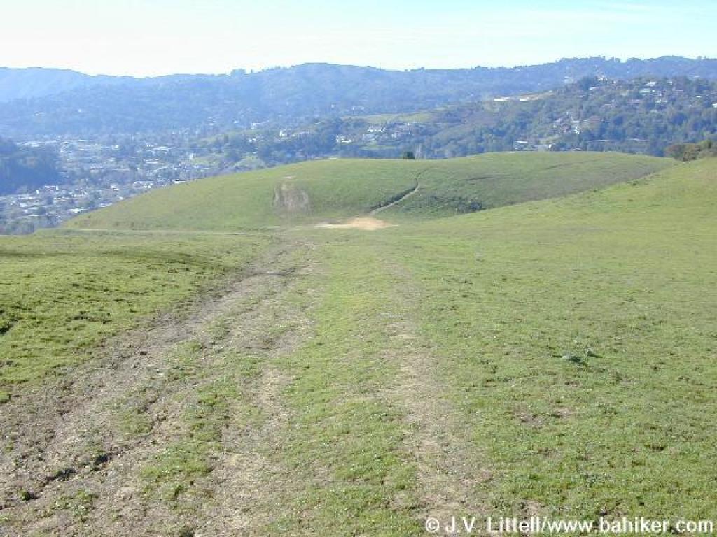
 Trails split |
||||
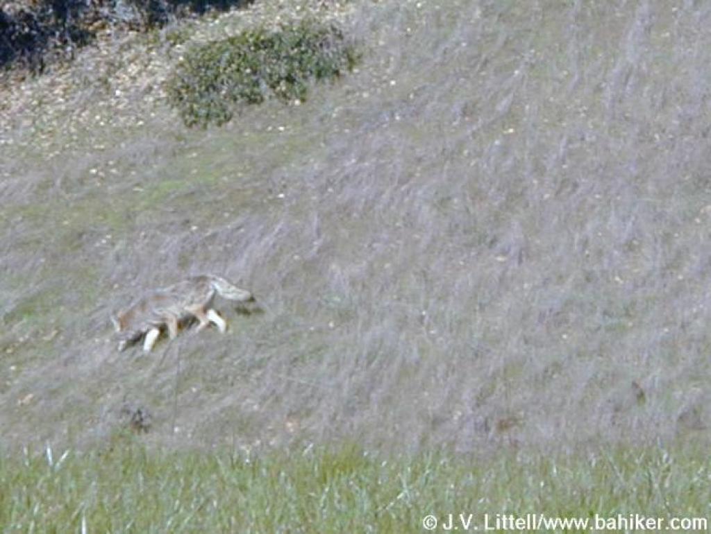
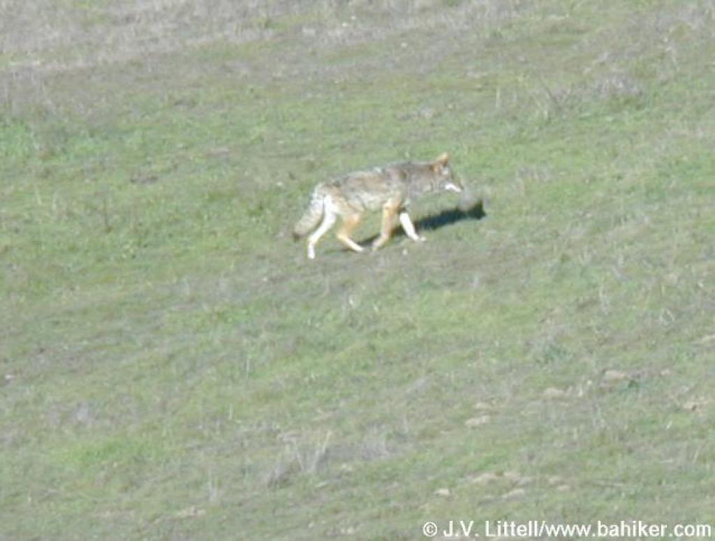 Coyote |
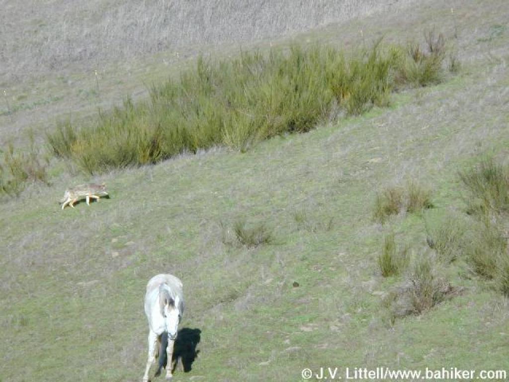 Coyote and horse (who paid him no mind) |
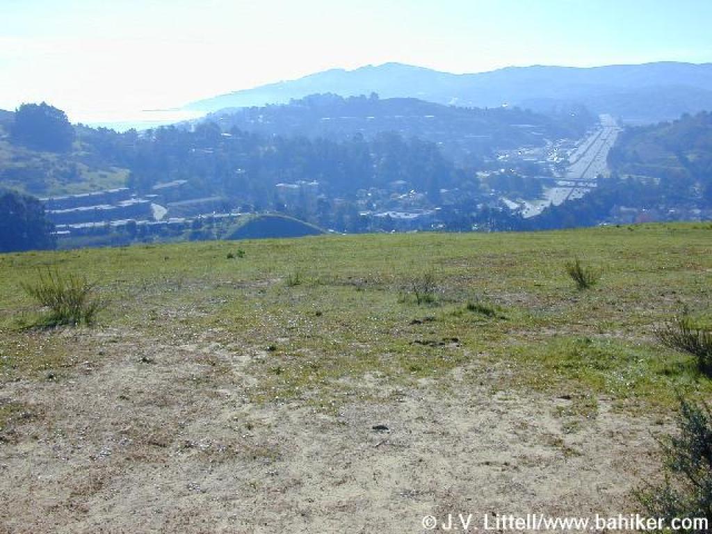
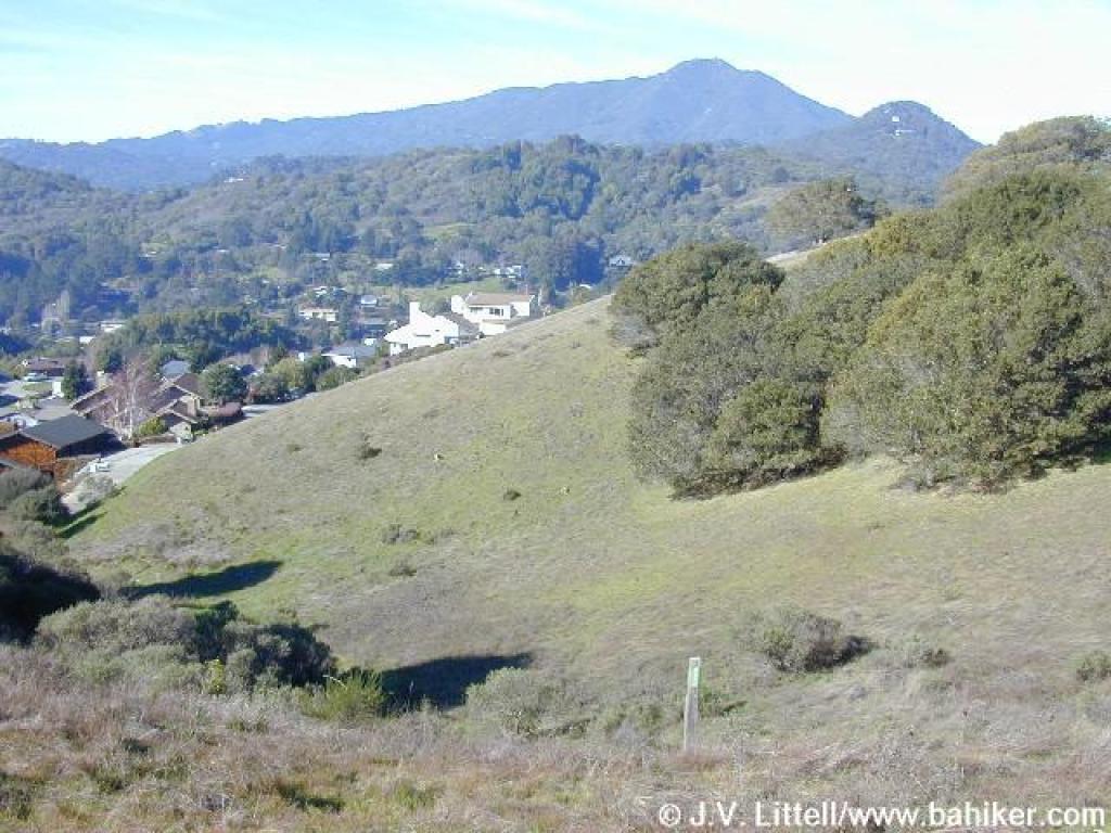
 View west |
 At the hilltop, Horse Hill Fire Road continues downhill, but this is the turn-around point for this hike |
||||
 View south |
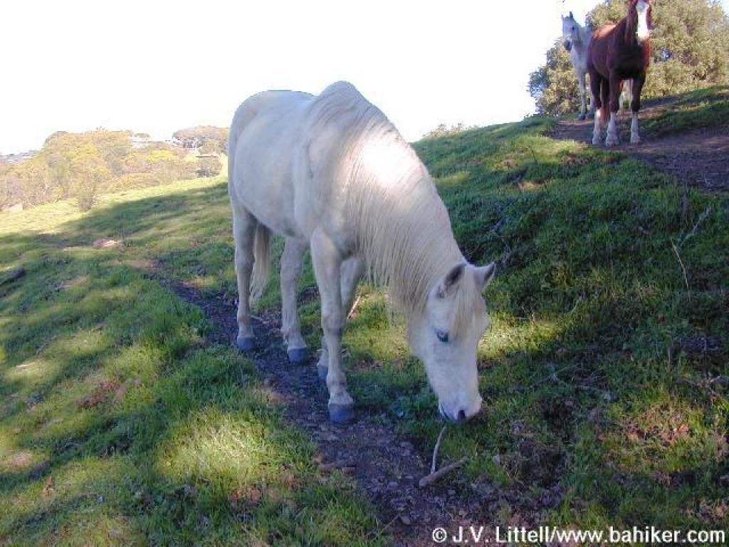 One of the Horse Hill horses |
 Returning through the gate |
 Coyote again |
||||
 View, with 2 coyotes on the hillside |
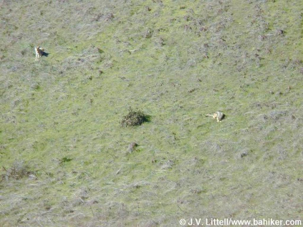 Here there are, a little closer |
 Return, near the steep hill |
 Descent Descent |
||||
 Gate at Alto Bowl Fire Road |
 Junction with Bob Middagh Trail |
 Return |
 Near Camino Alto, the trail curves left, while a shortcut continues straight to the road |
||||
 Return |
 At the gate and Camino Alto |
Go to Bay Area Hiker Alto Bowl page Go to Bay Area Hiker Home page |
|||||