| Photos
from a March 2002 hike on Mount Tamalpais (click on any image for a larger view) |
|||||||
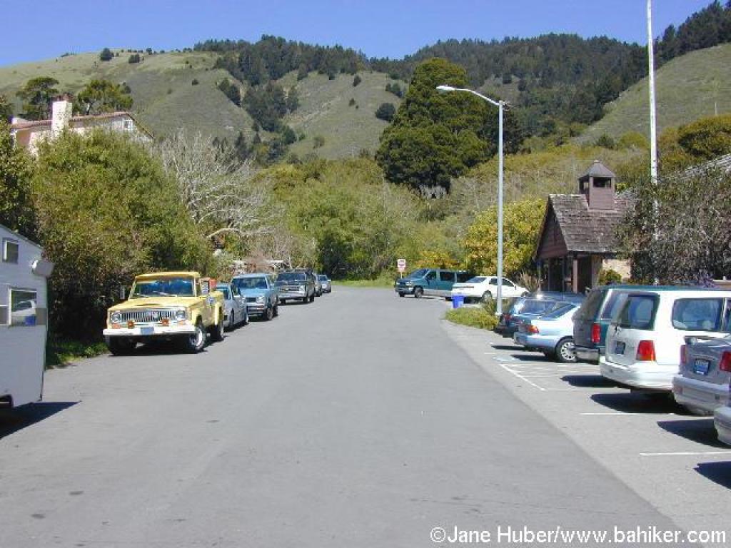
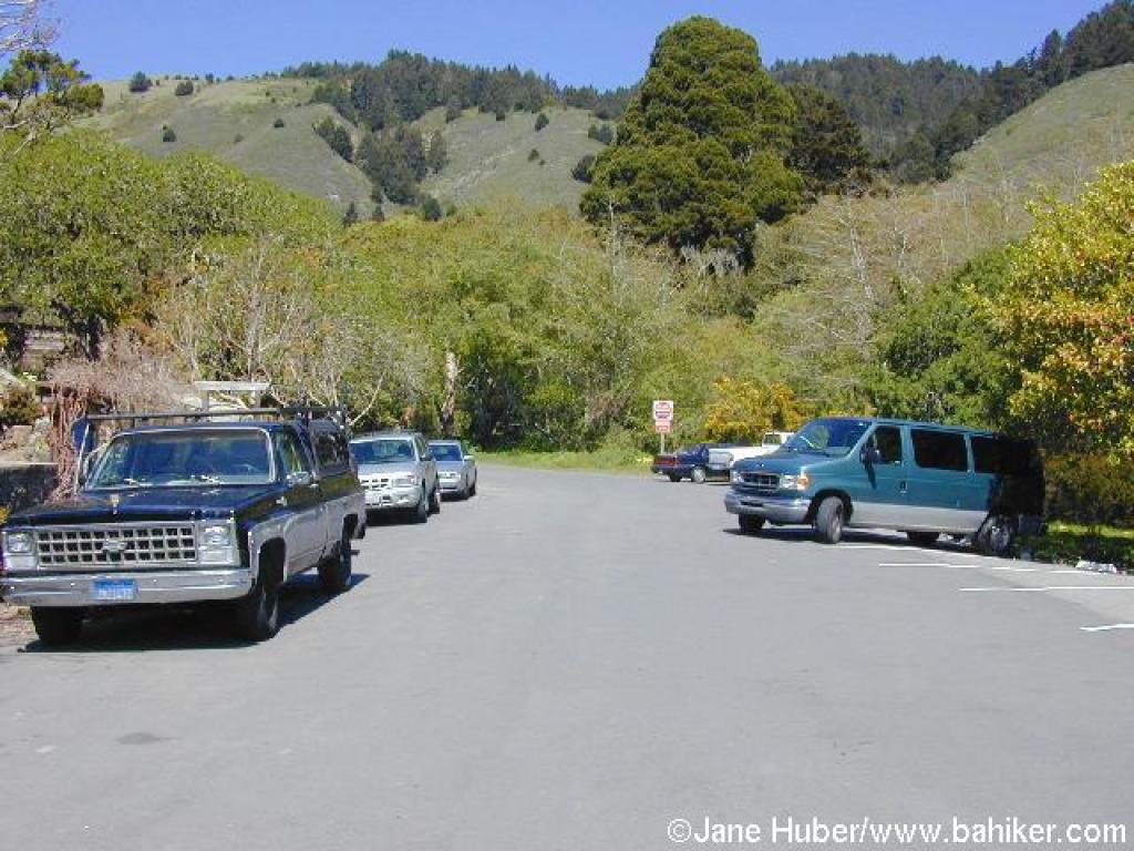 Side of street parking on Belvedere Avenue |
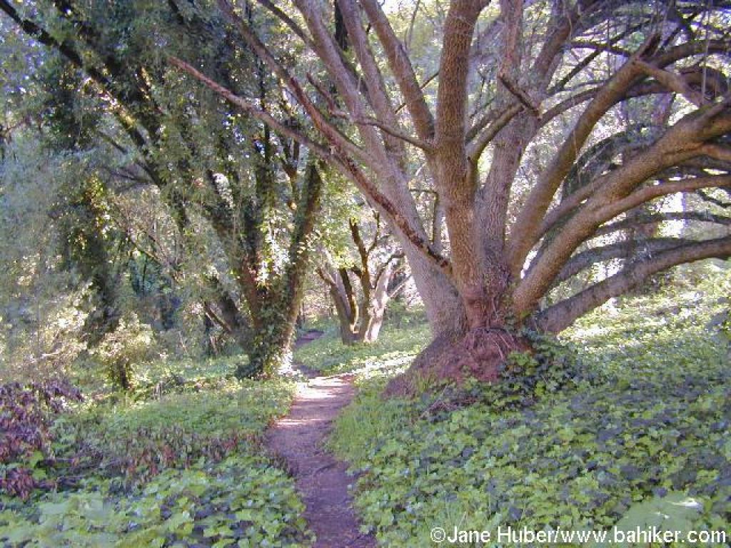
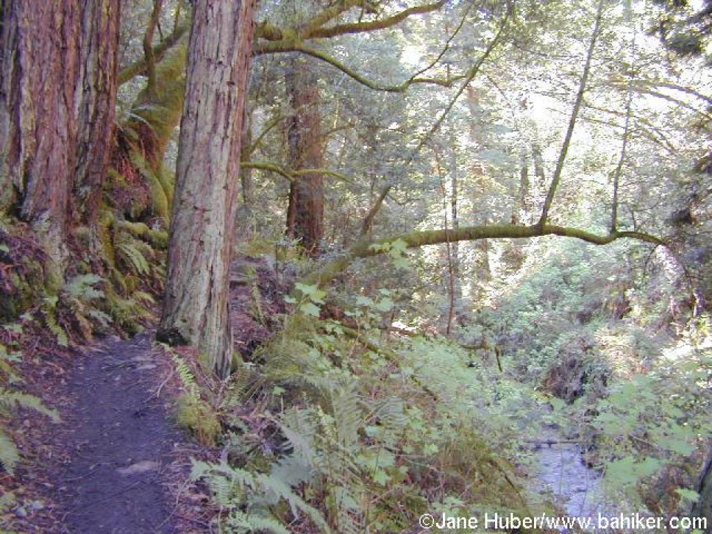
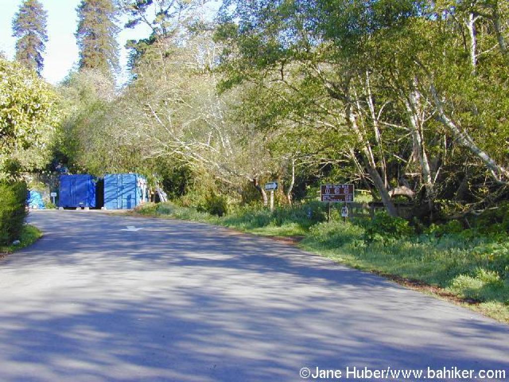 Start of the trail |
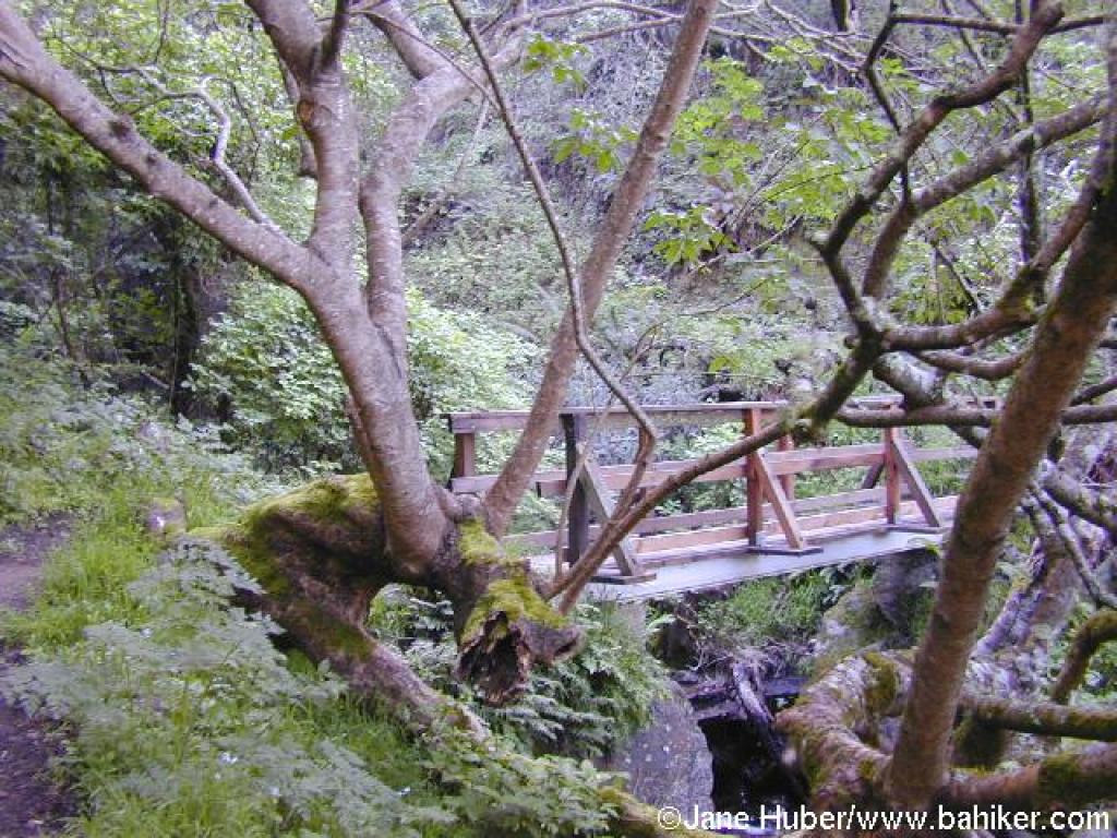
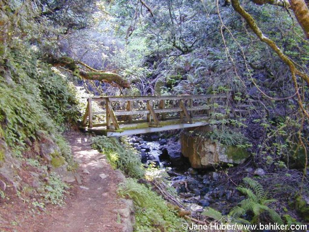
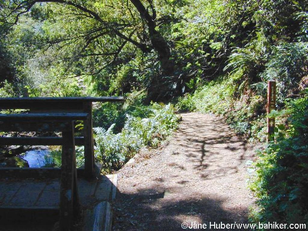
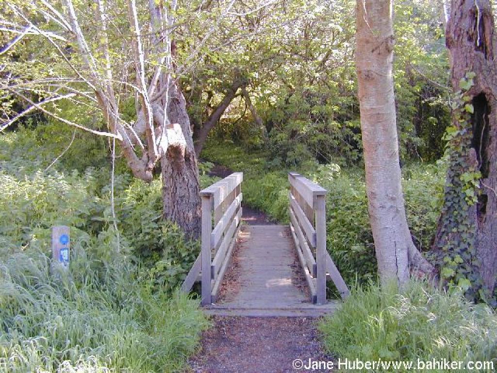 Bridge |
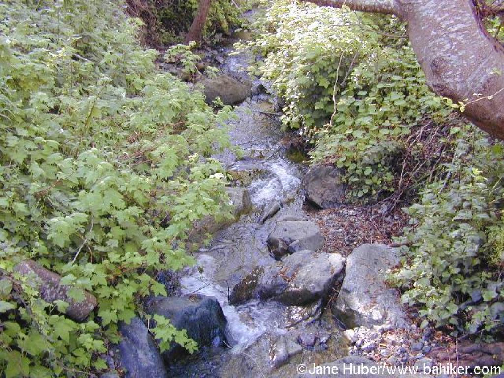 Creek |
||||
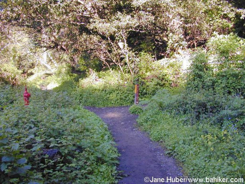
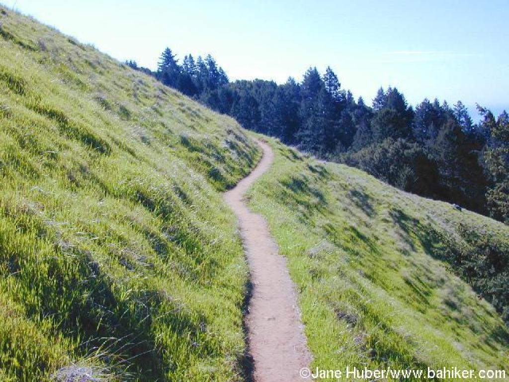
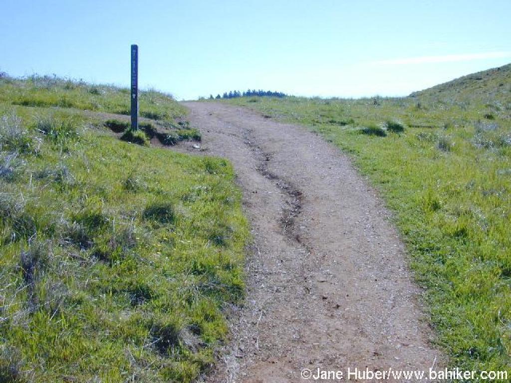
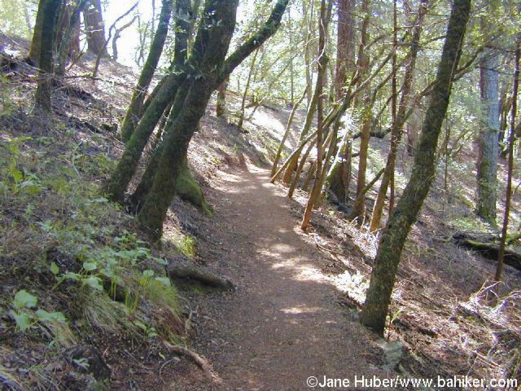
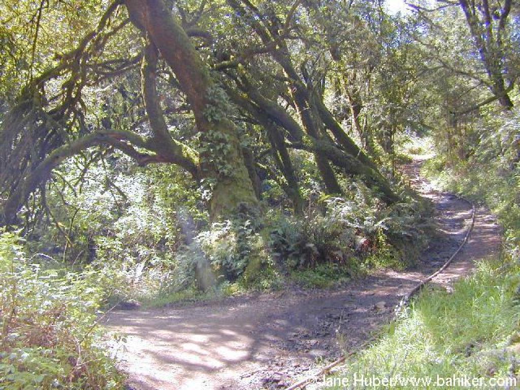
 Matt Davis Trail |
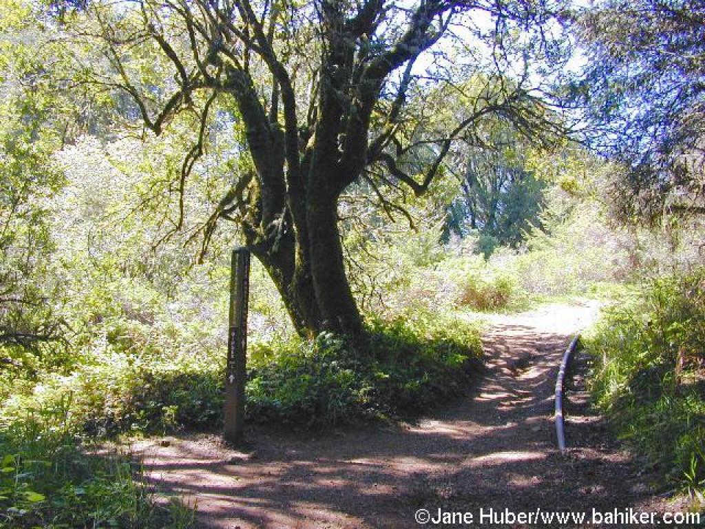
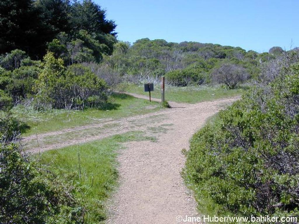
 Junction; turn left |
 Junction; turn right |
 Bridge |
||||
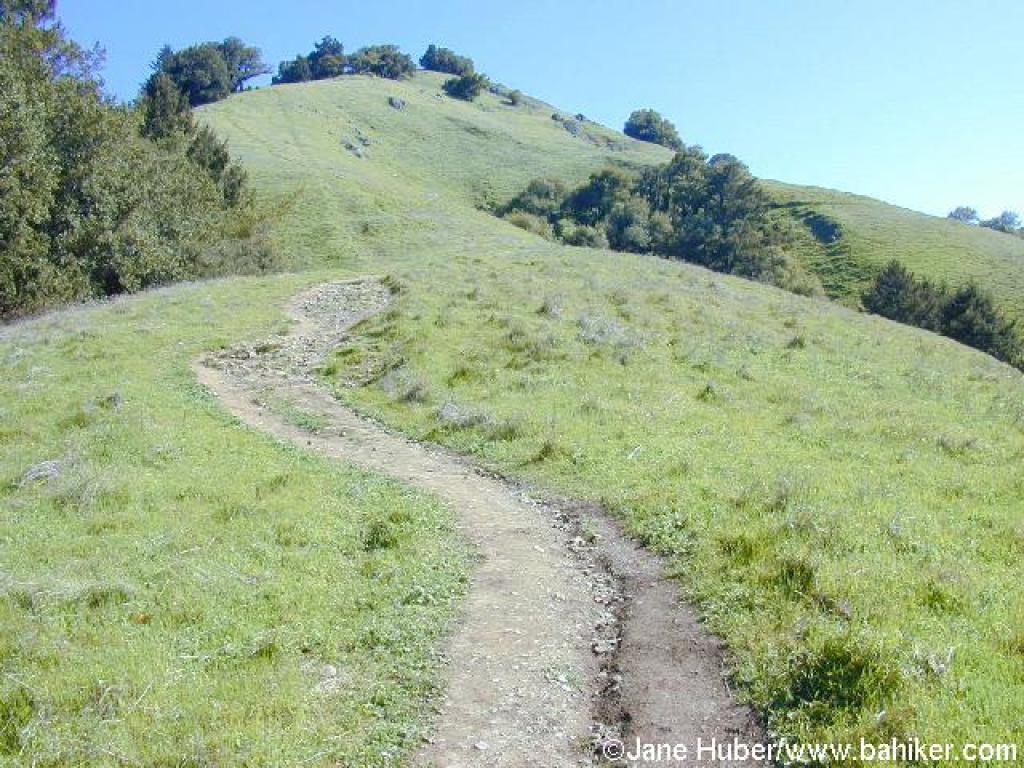
 Switchback |
 View |
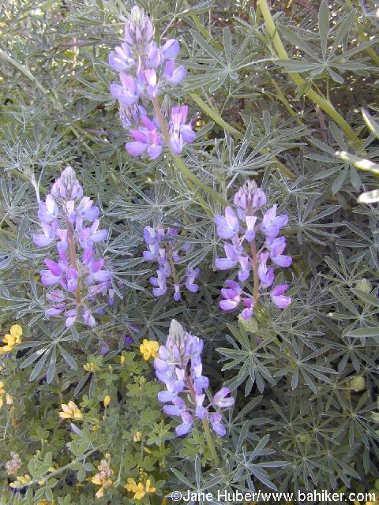 Lupine |
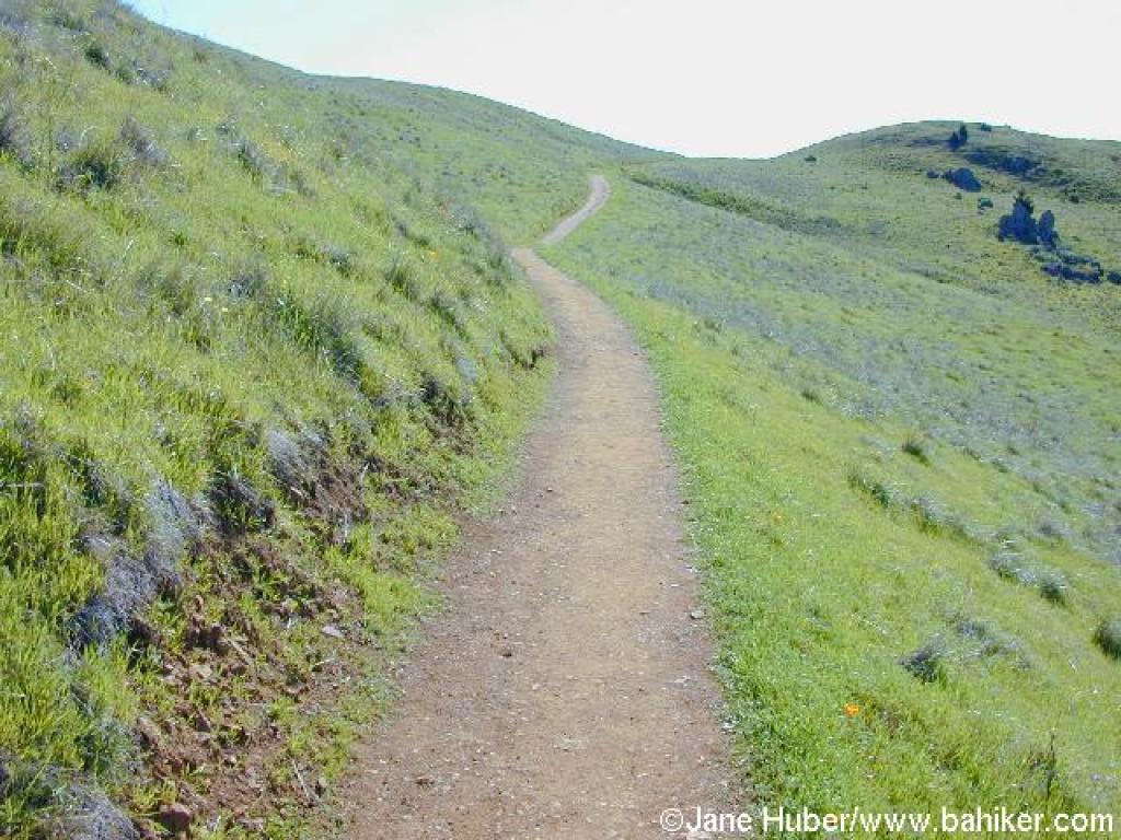
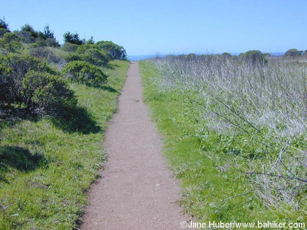
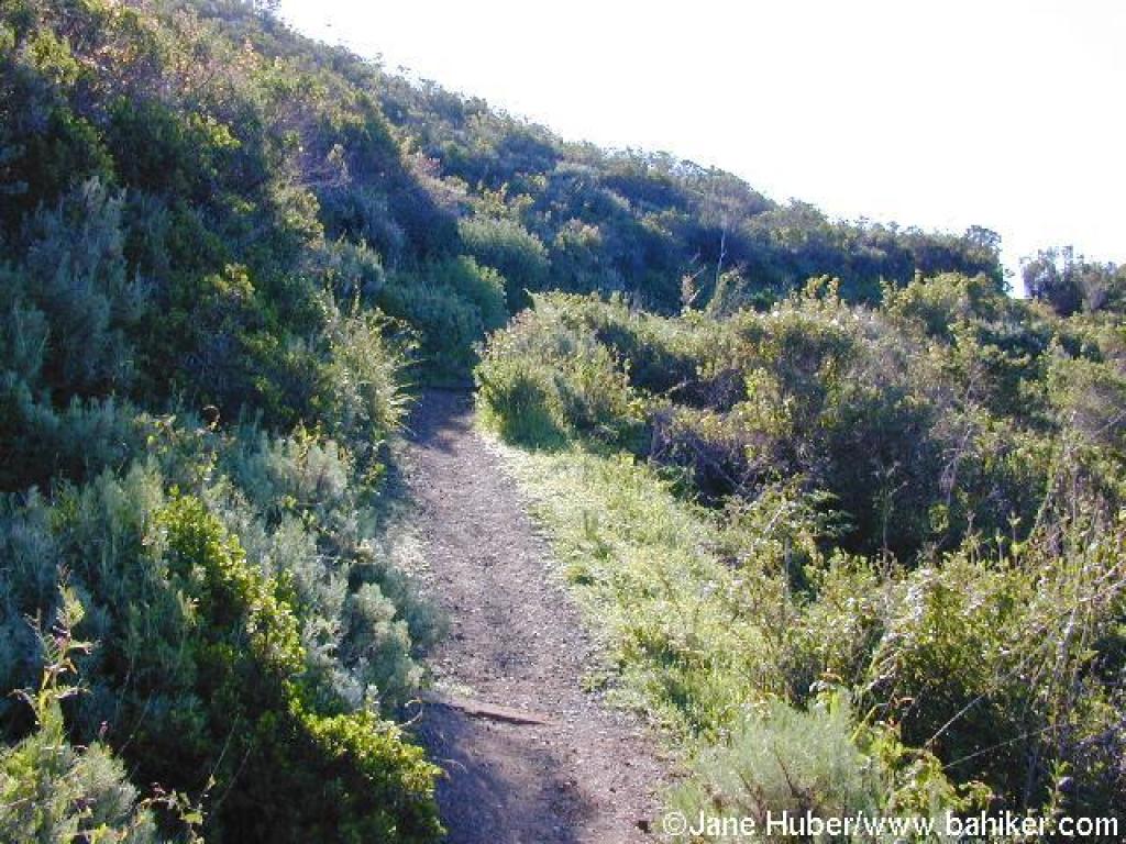 Stretch through chaparral |
||||
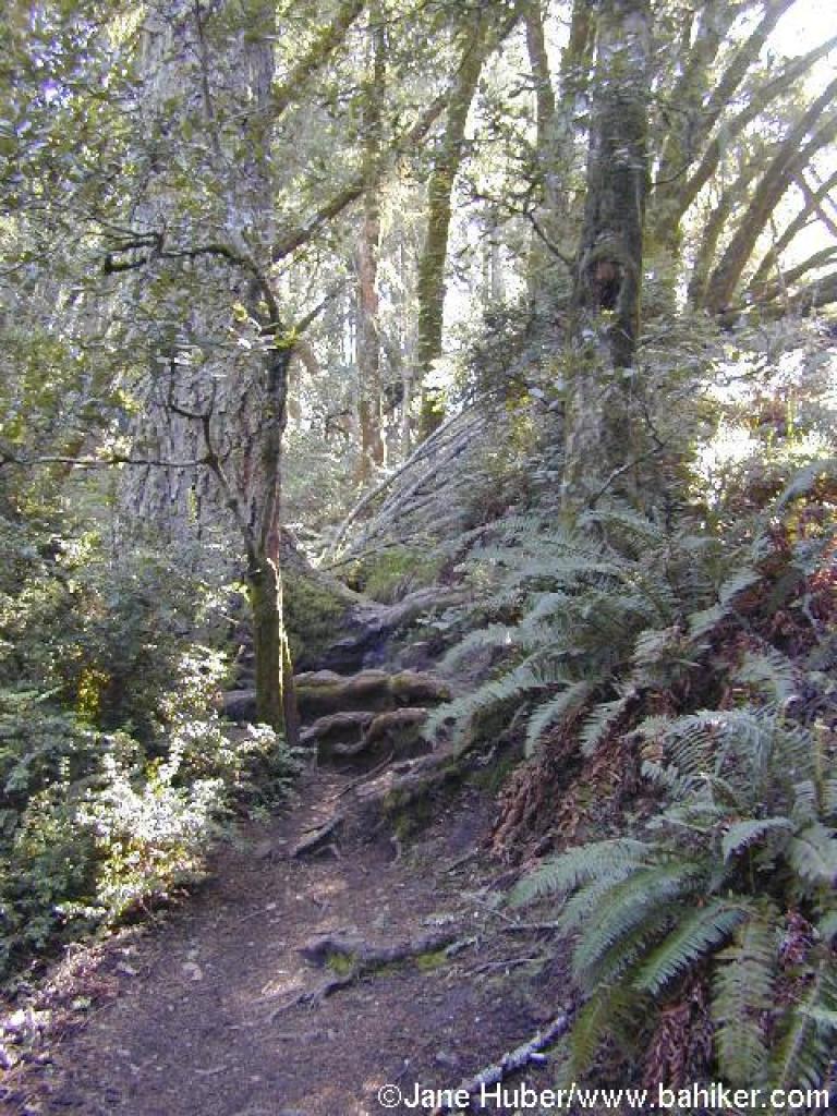
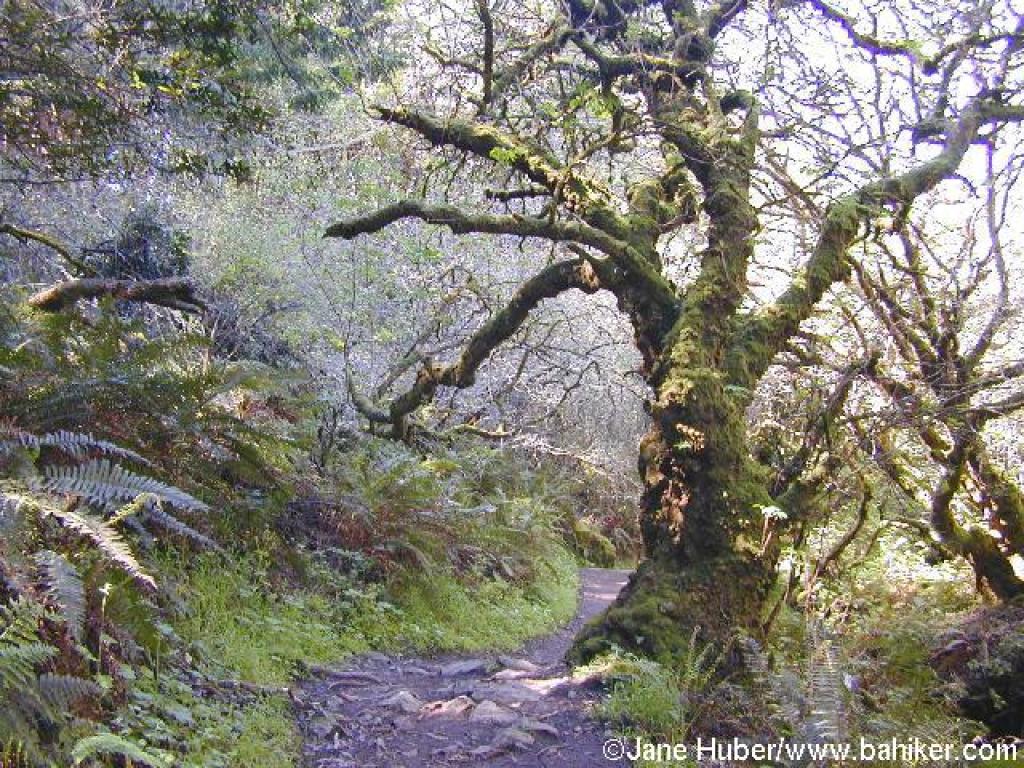
 Back in the woods |
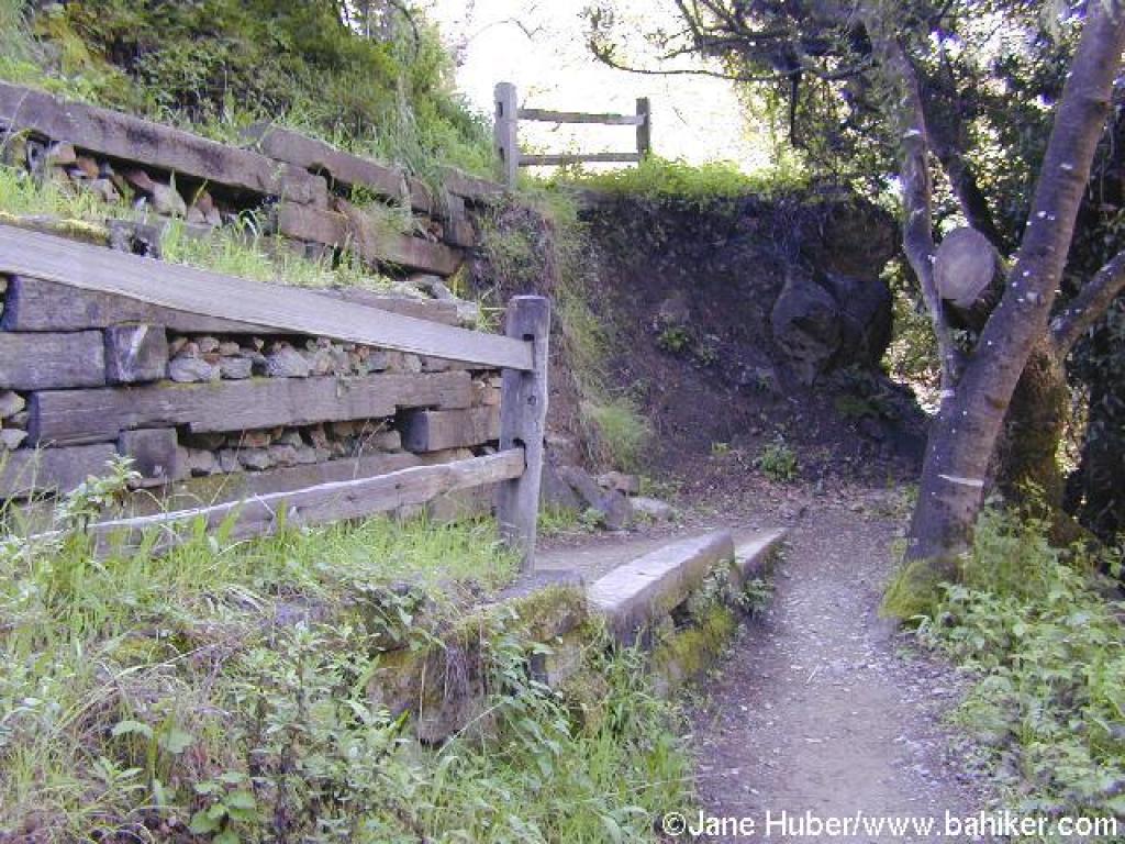
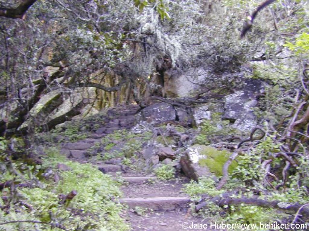
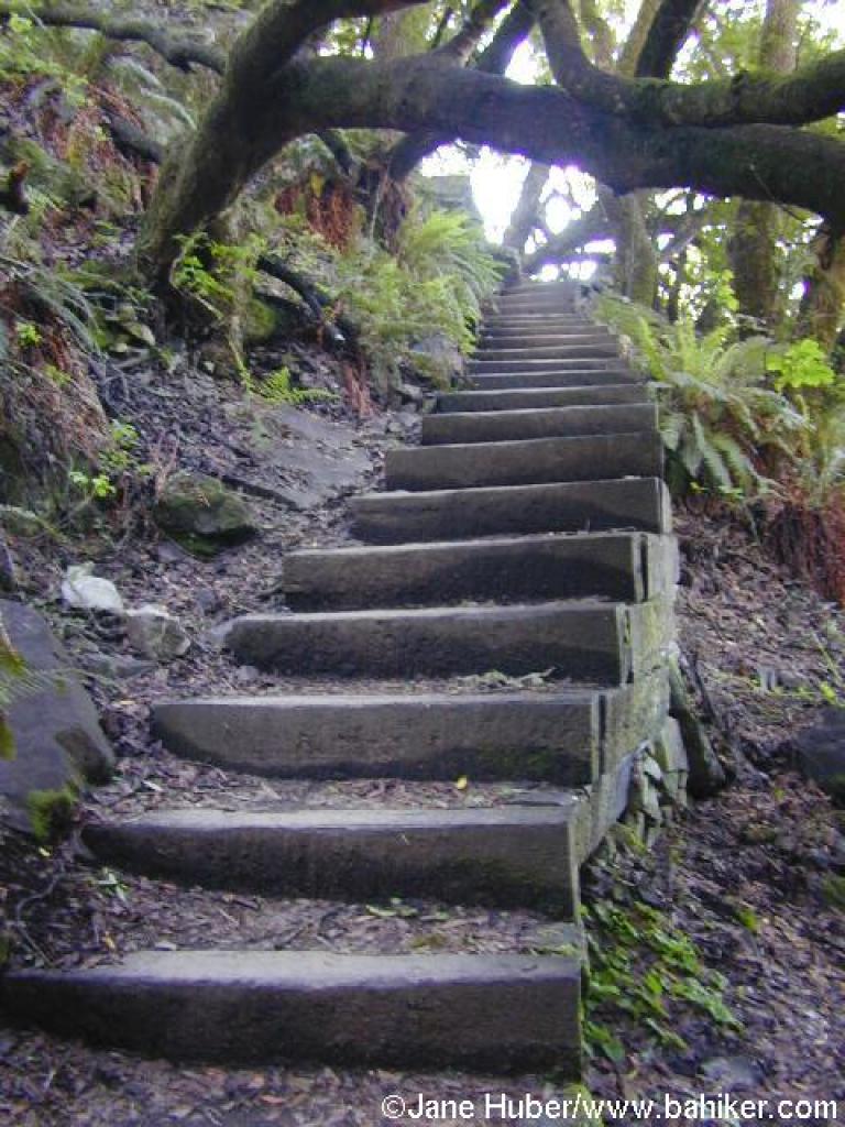 Steps |
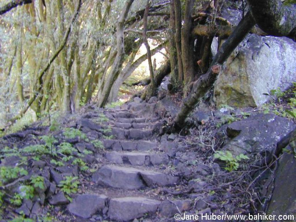 Steps |
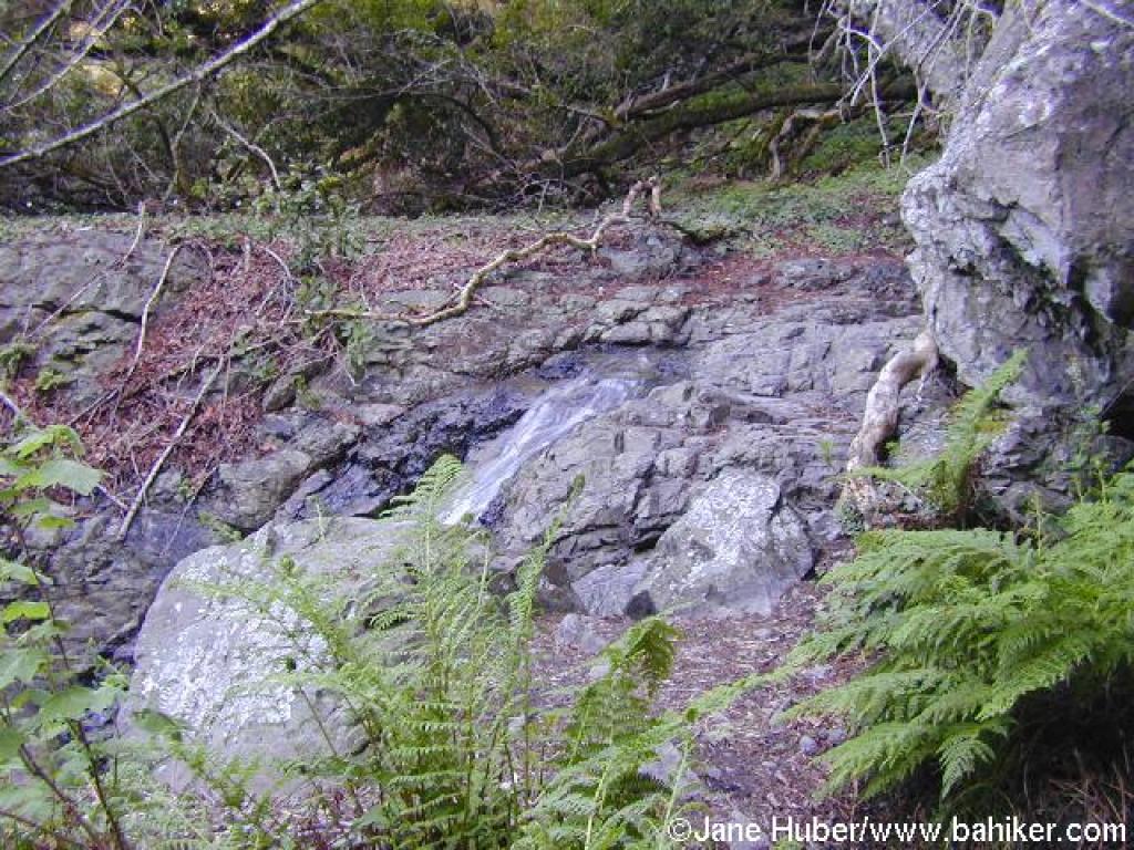 Waterfall |
||||
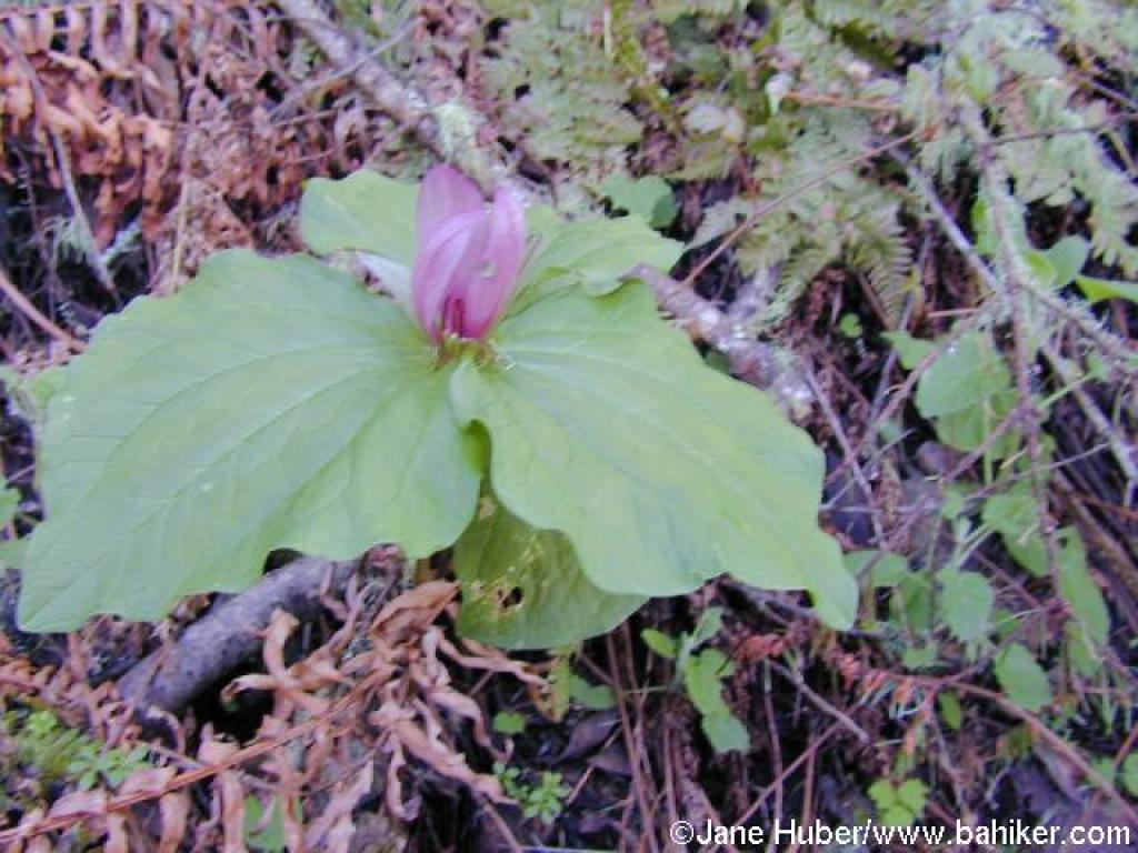 Trillium |
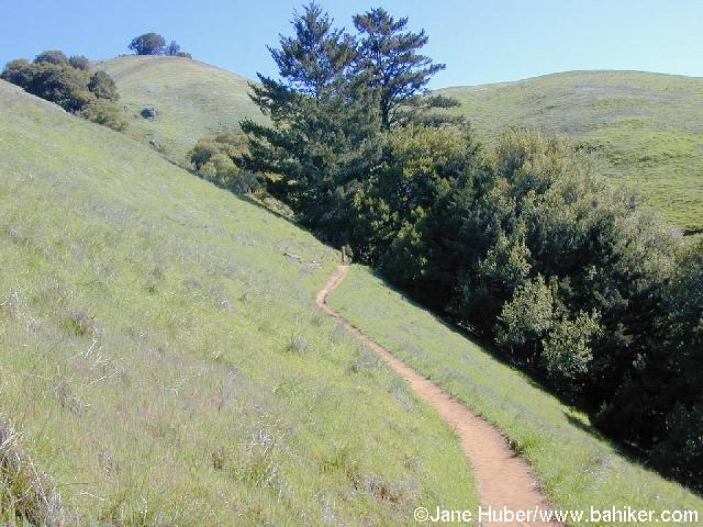
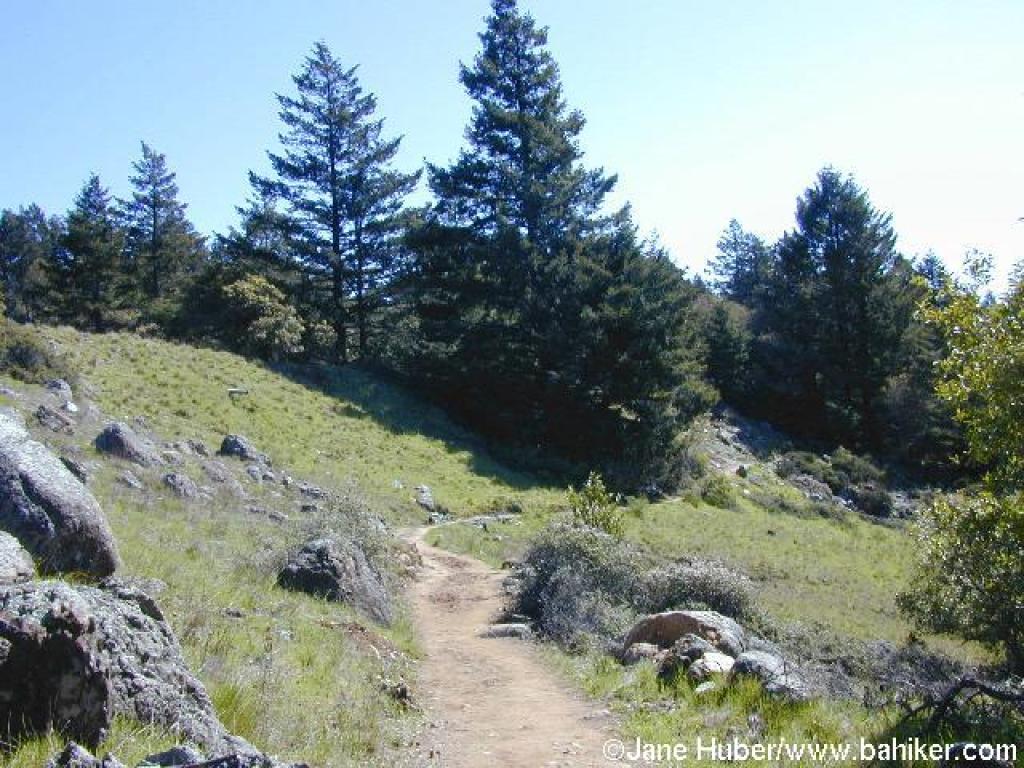
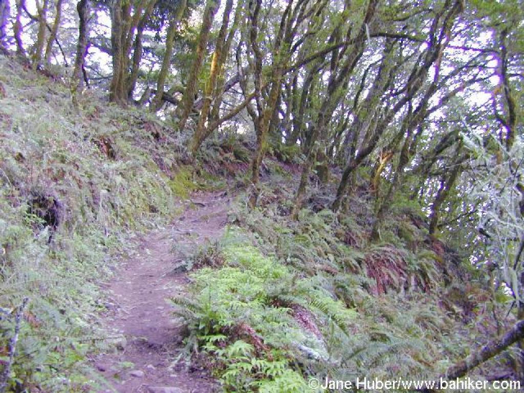 Matt Davis Trail |
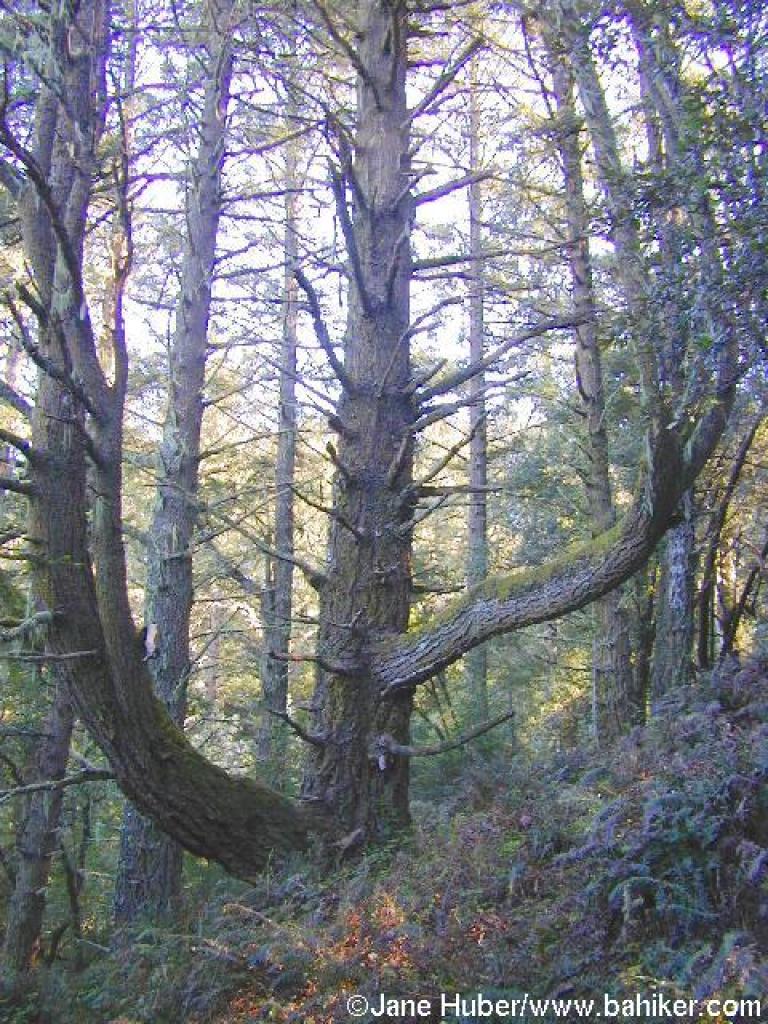 Douglas fir |
 Rooty |
||||
 On the west-facing slope |
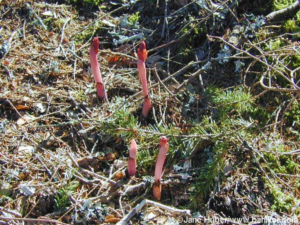 Coralrrot |
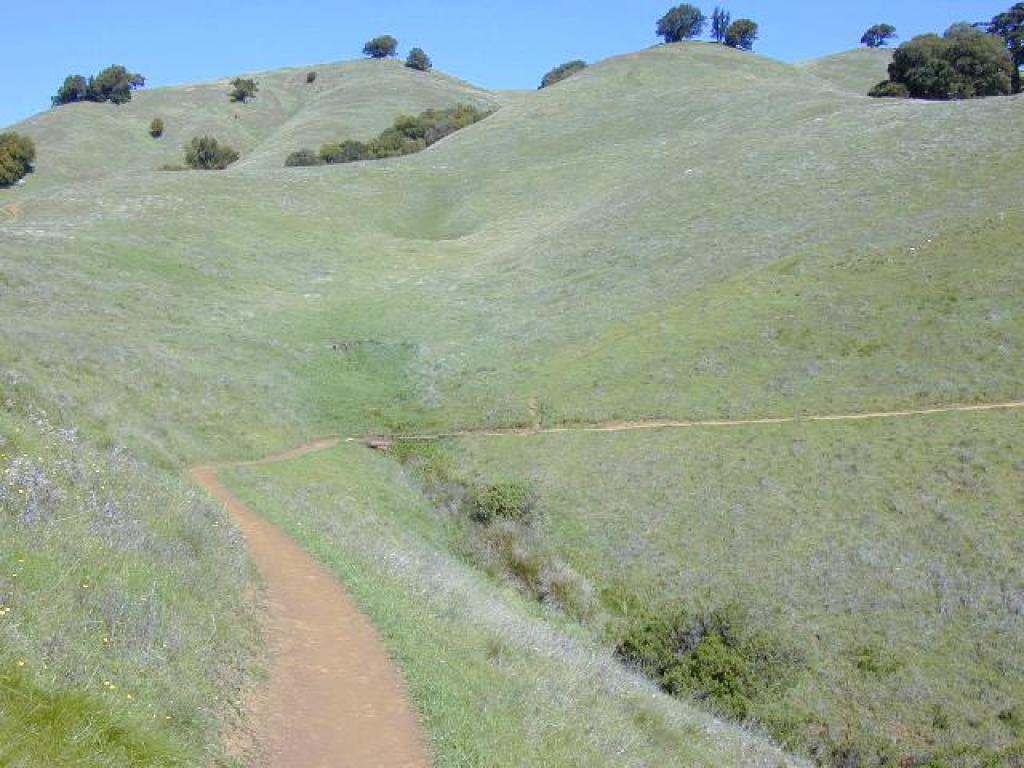
 In grassland |
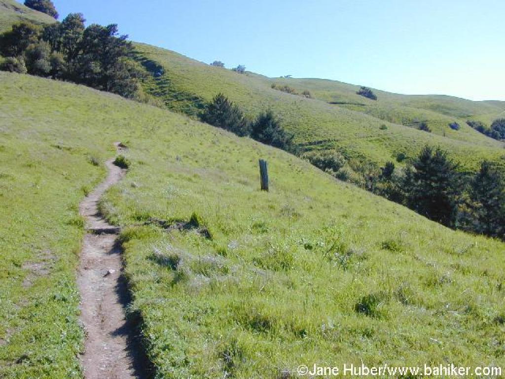 Headingt southeast |
||||
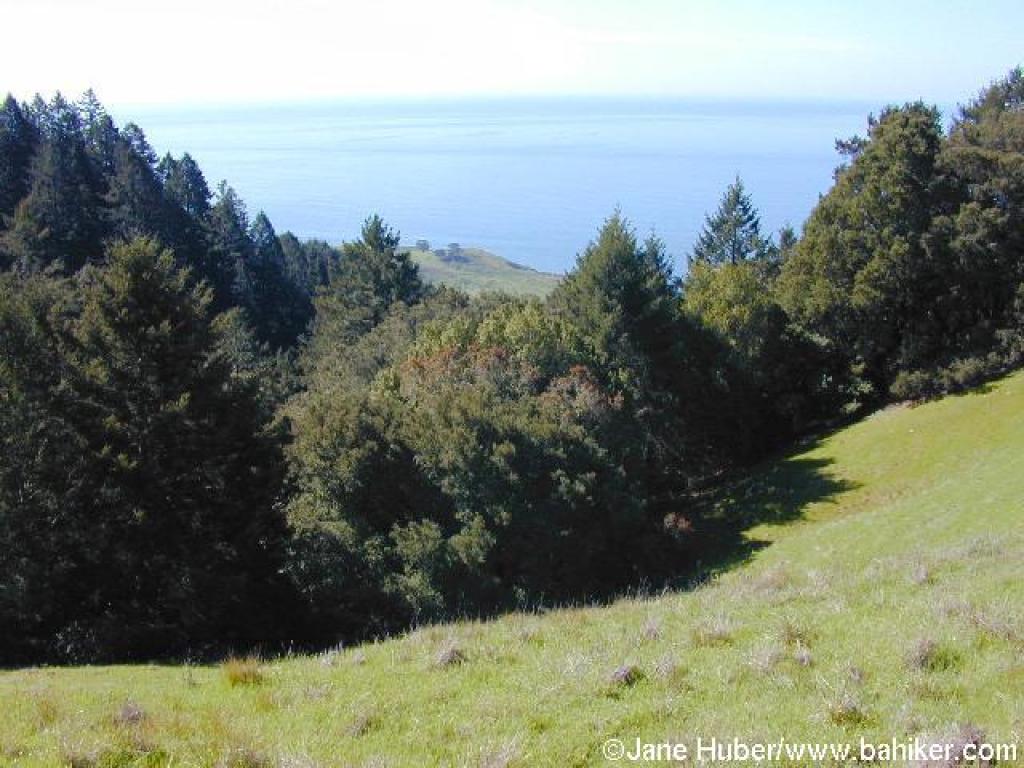 West |
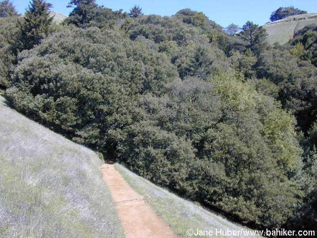
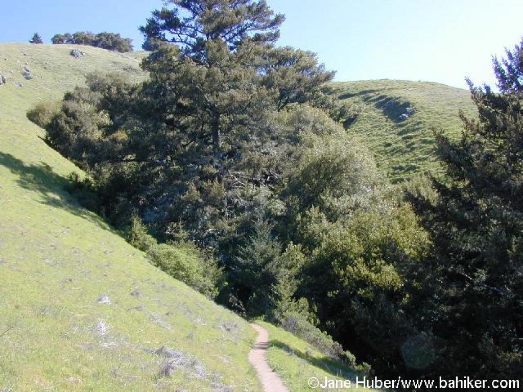 Heading into a shaded gulch |
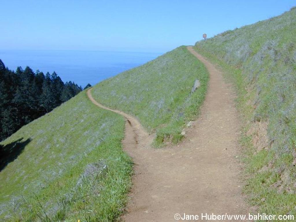
 Matt Davis Trail |
 Approaching junction |
||||
 A look back to the junction |
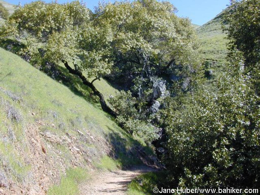 Shaded canyon |
 Grassland |
 Junction |
||||
 View uphill to the ridgeline |
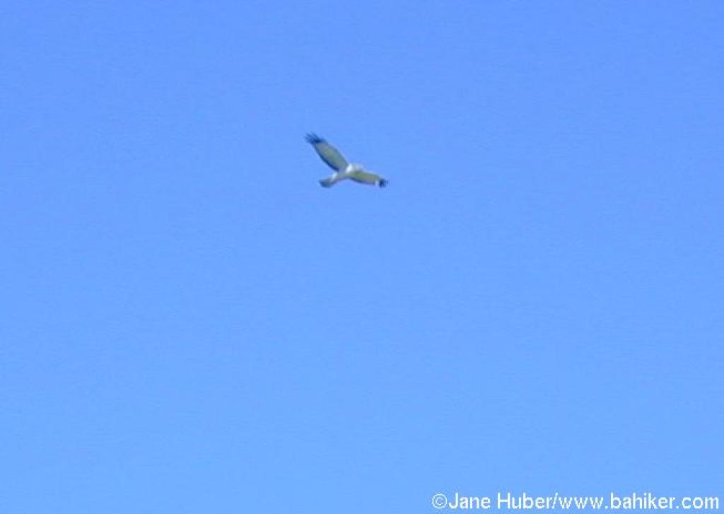 Hawk |
 Heading into the woods |
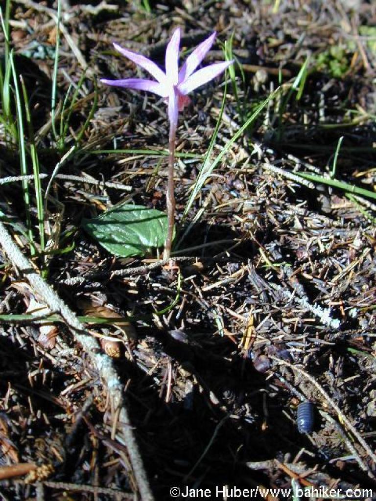 Calypso orchid |
||||
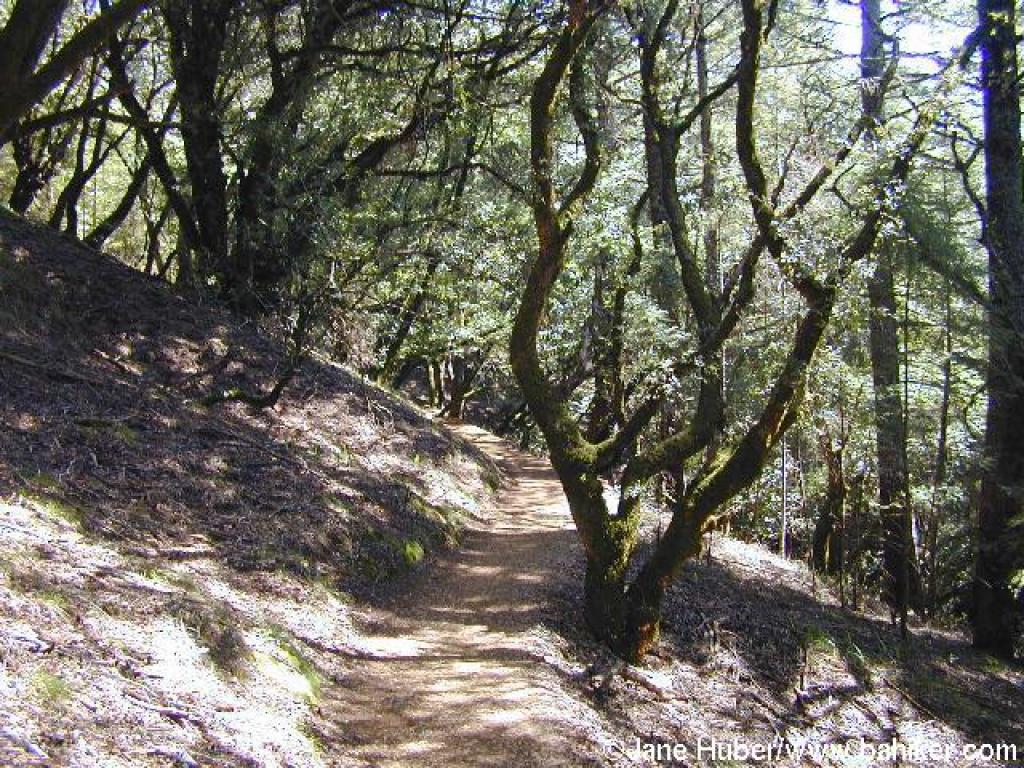 Matt Davis Trail |
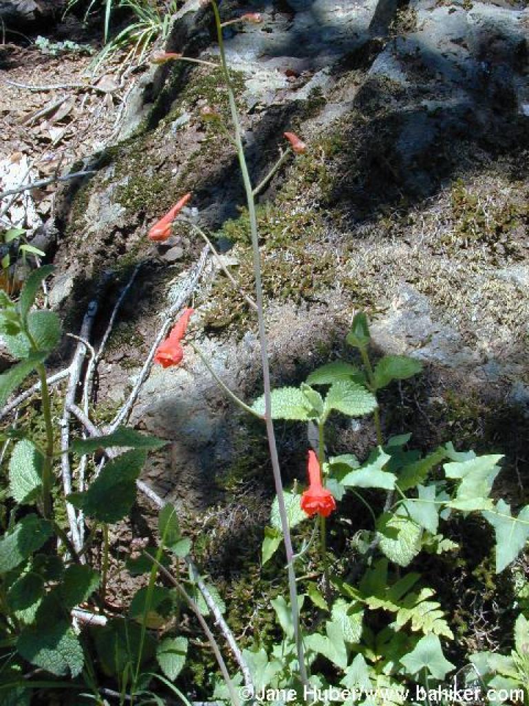 Red larkspur |
 This mixed woodland hosts flowers including hound's tongue and milkmaids in spring |
 Back out into sunlight and grassland |
||||
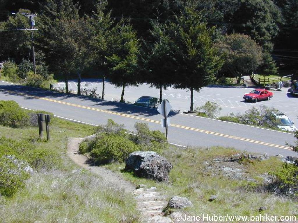 Trail crosses Panoramic at the Pantoll Ranger Station |
 Approaching the start of Steep Ravine Trail |
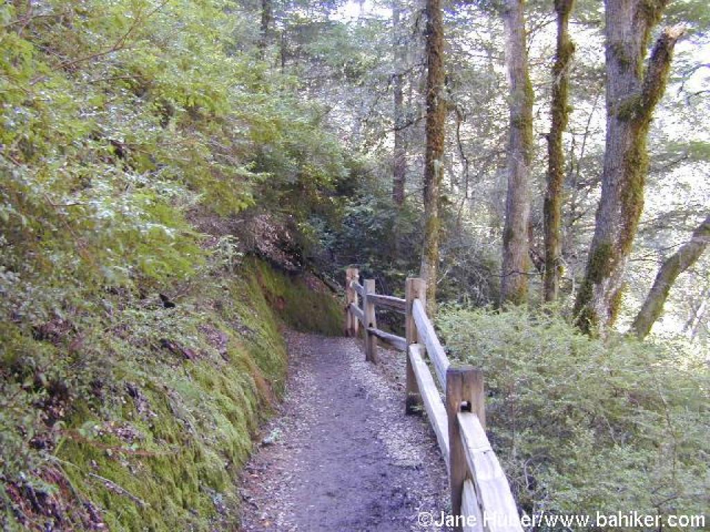 A series of fenced switchbacks |
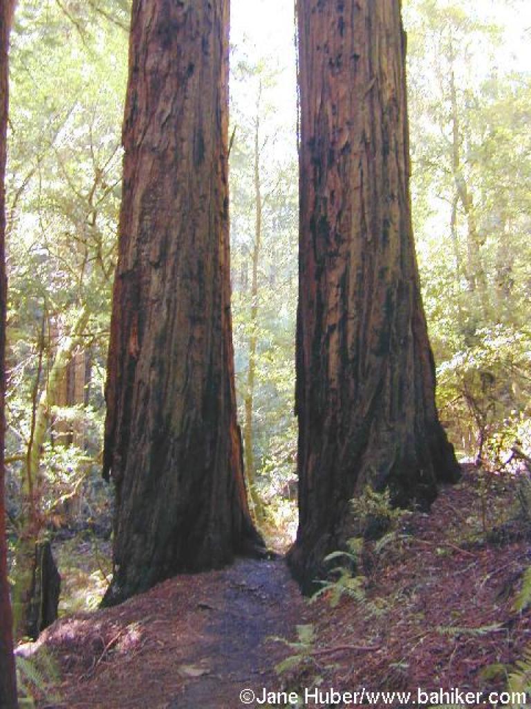 Between 2 redwoods |
||||
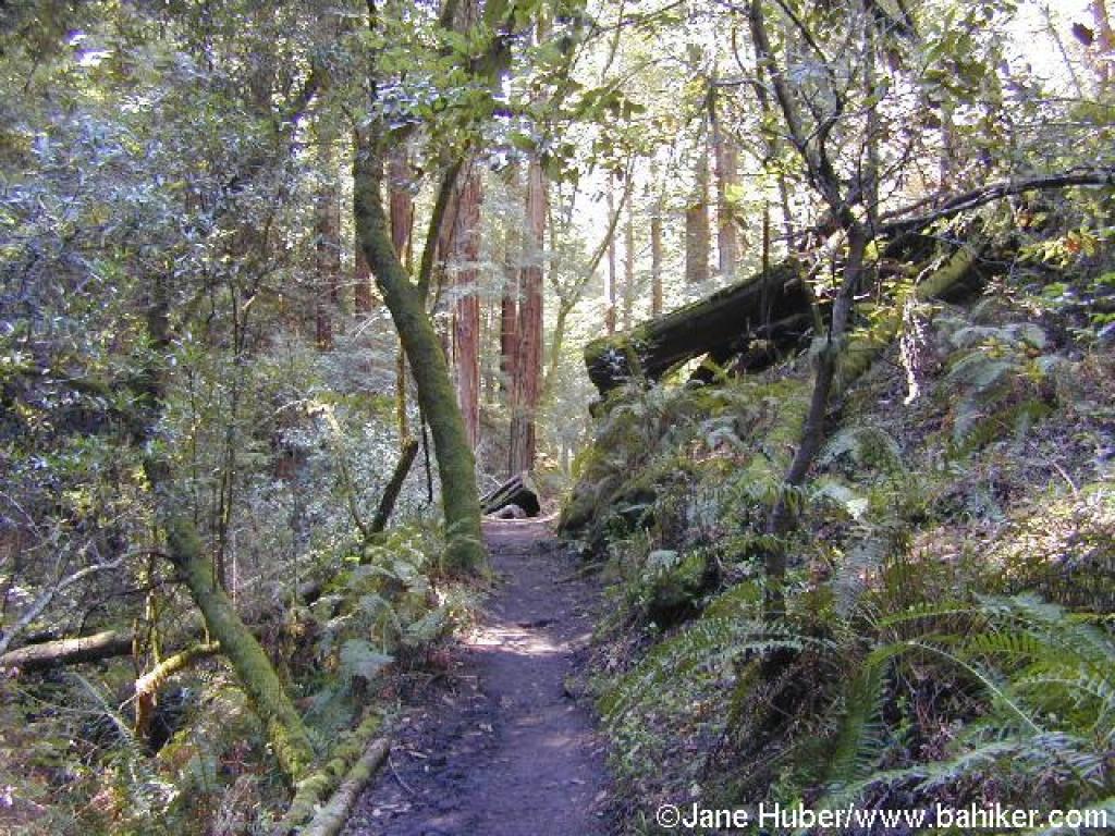 Steep Ravine Trail |
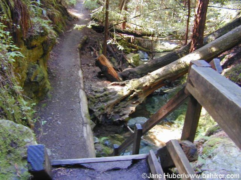 At the top of the ladder |
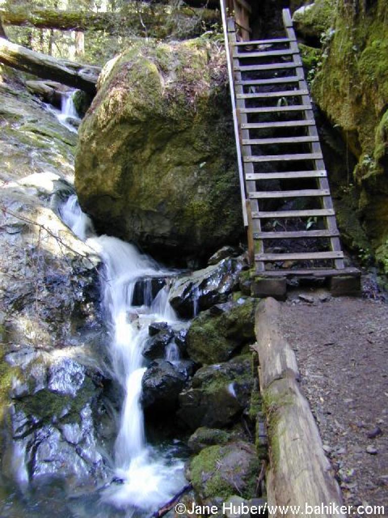 Ladder and falls |
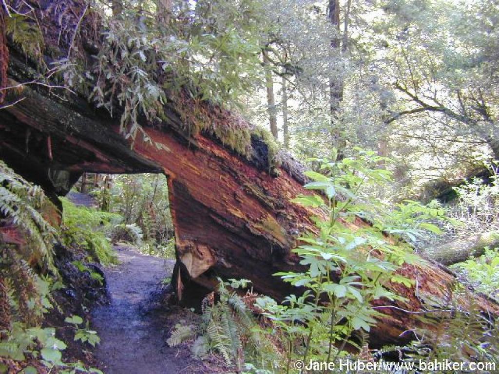 A notched redwood permits passage |
||||
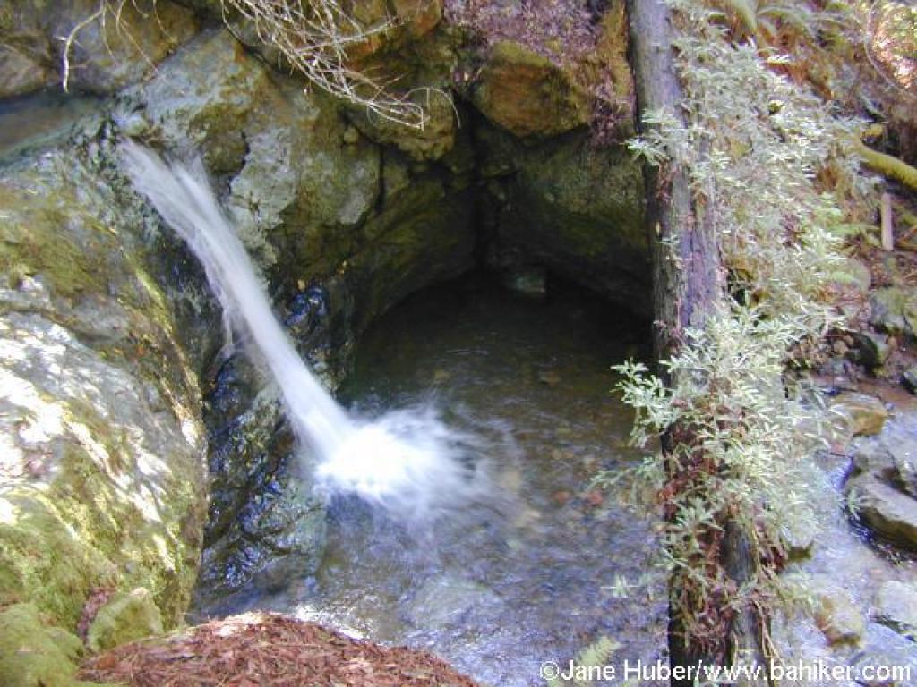 Trailside waterfall |
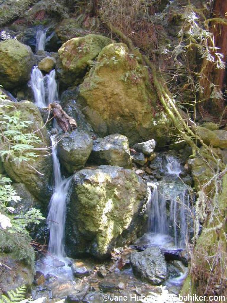 Waterfall |
 Descending |
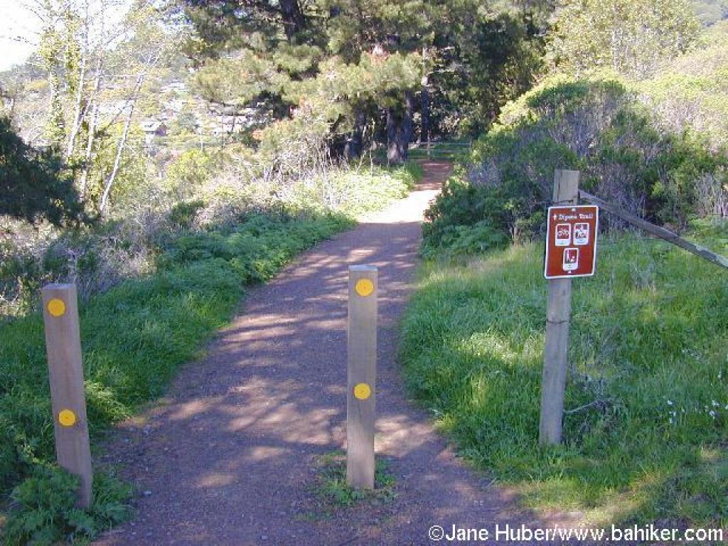
 Junction with Dipsea |
||||
 Junction with the other part of Dipsea |
 Another junction; stay to the right |
 Yet another junction |
 Dipsea Trail |
||||
 Junction |
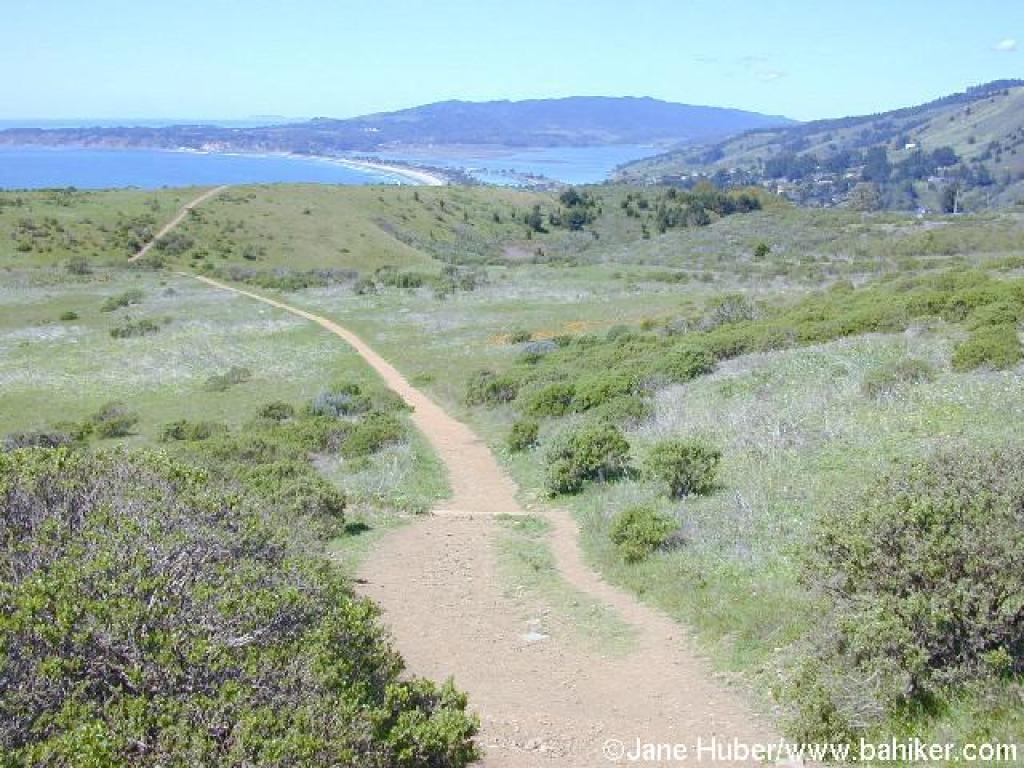 Descending |
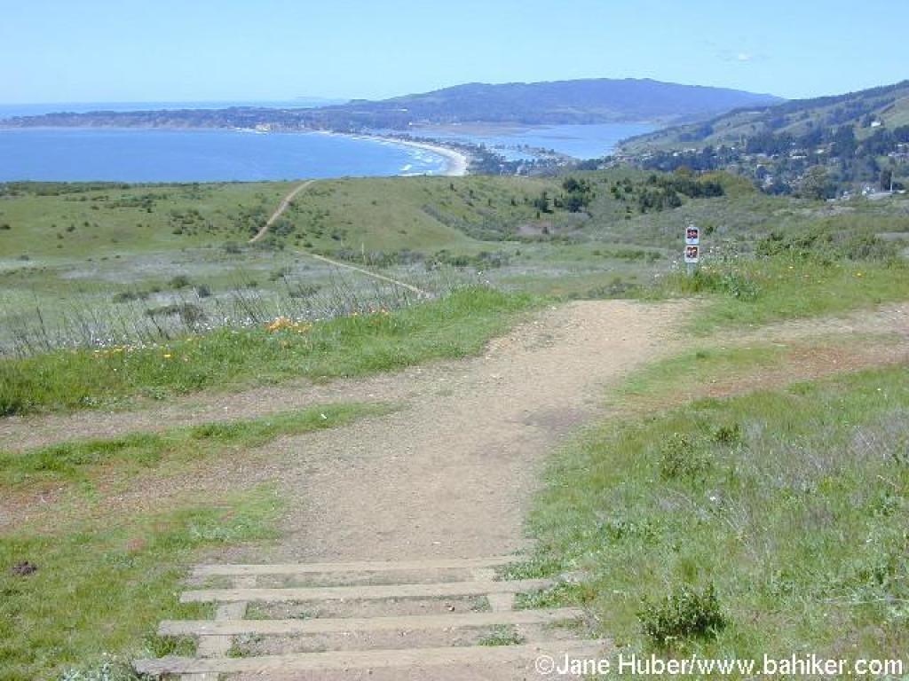
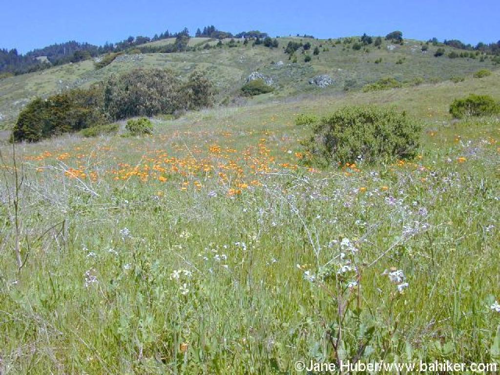 Poppies and wild radish frame a view back to the hills of Mount Tam |
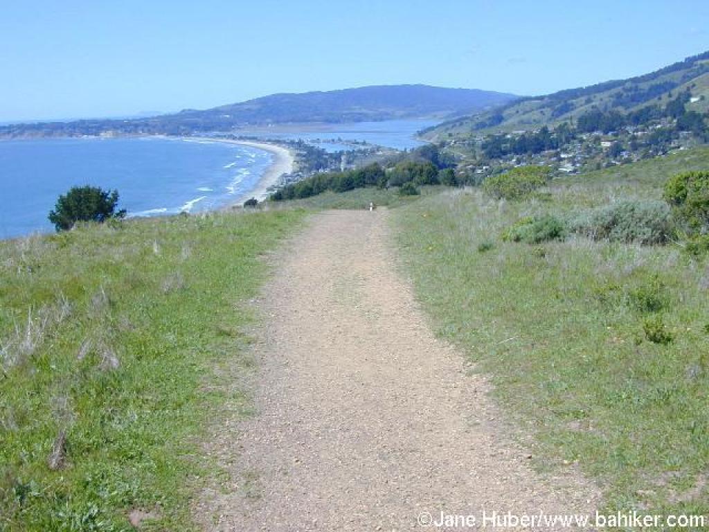 Amazing view north of Stinson Beach and Point Reyes |
||||
 Along the lower reaches of Dipsea, gnarled buckeyes sit beside a creek |
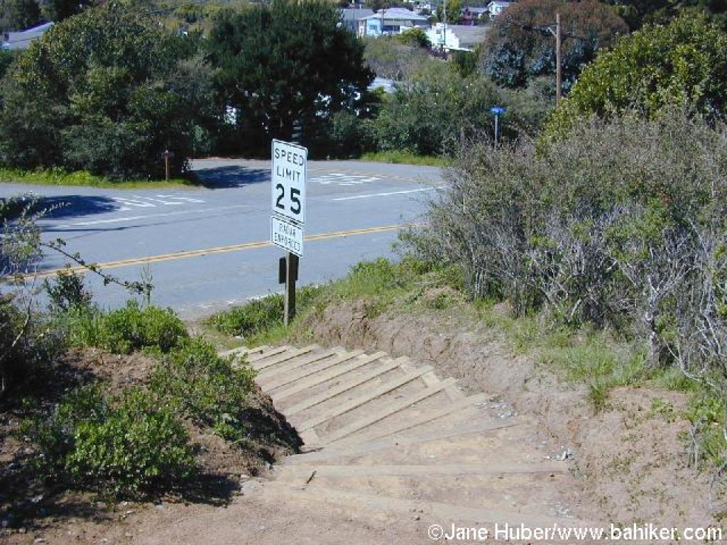
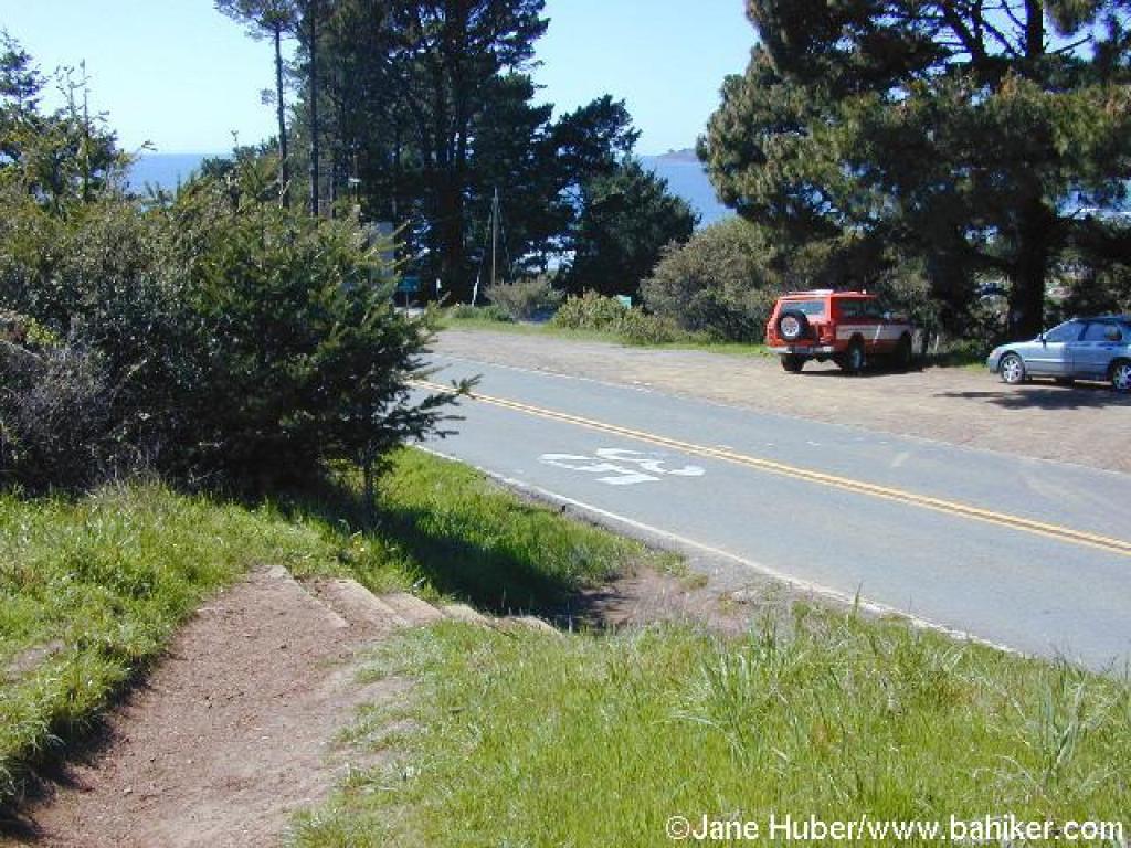 Crossing Panoramic Highway |
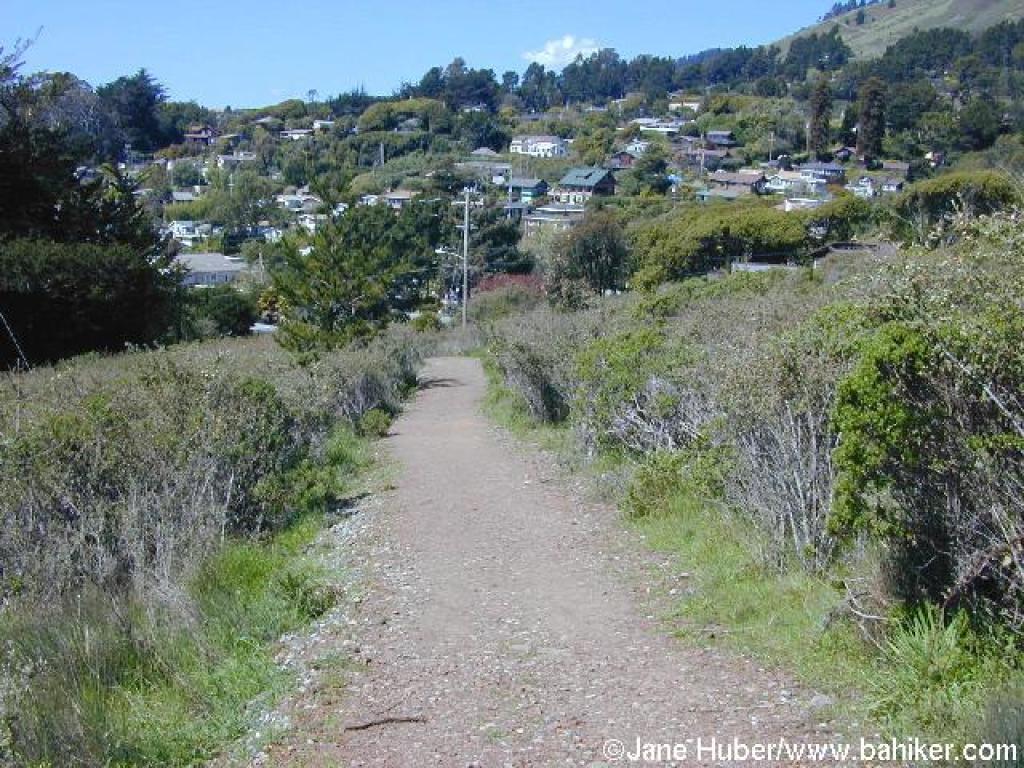
 A continuation of Dipsea |
 Shrubs of cottoneaster line the trail |
||||
 Highway 1 |
 Short stretch on the road |
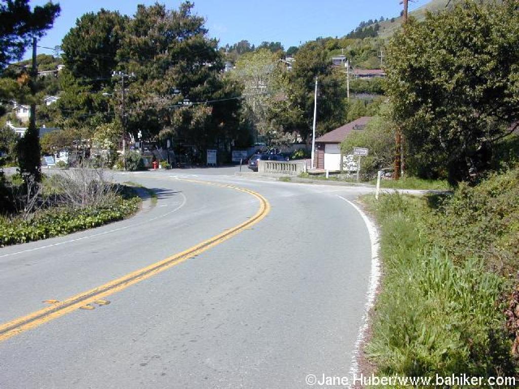
 Back at the trailhead |
Go to Bay Area Hiker Stinson Beach page Go to Bay Area Hiker Home page |
||||