| Photos from a December 1999 hike at Rancho San Antonio Open Space Preserve (click on any image for a larger view) | ||||||||||
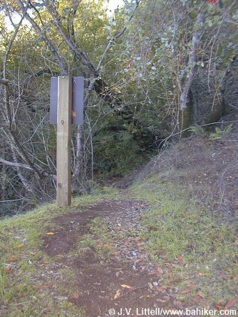
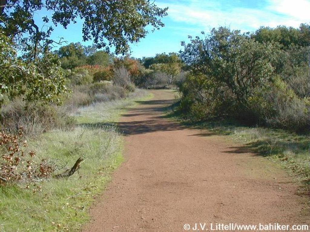
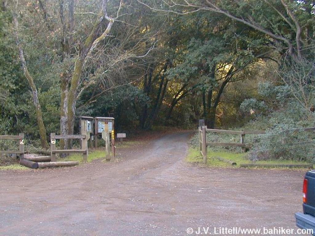 Trailhead |
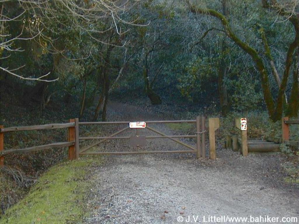 Gate at start of Rhus Ridge Trail |
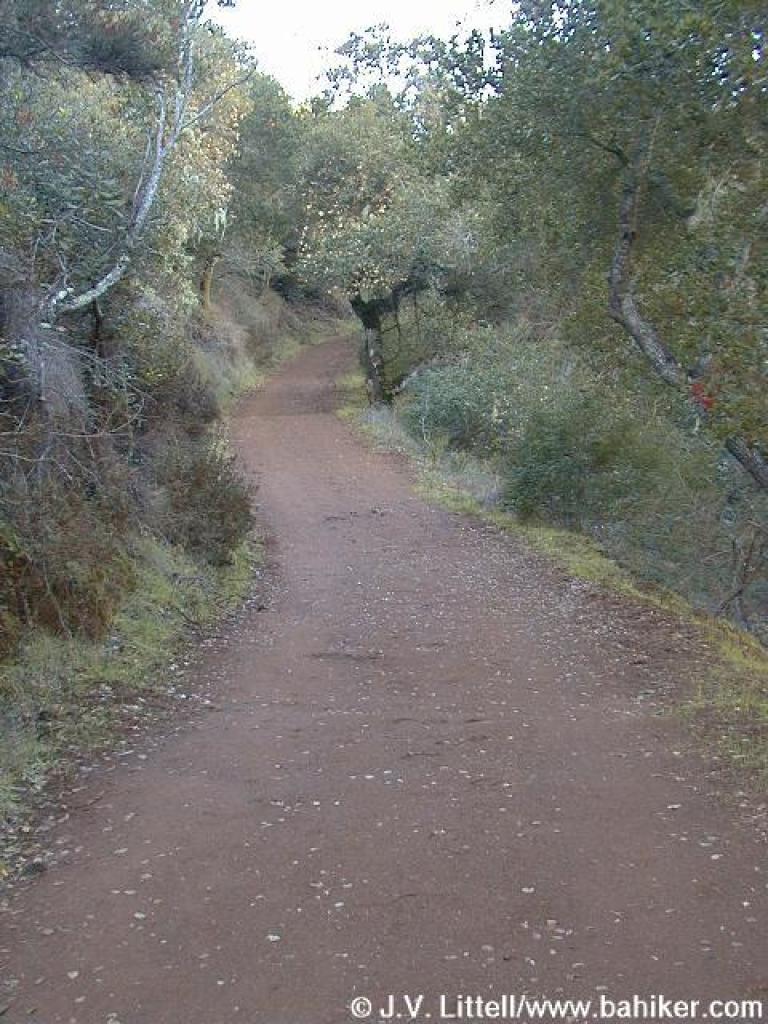
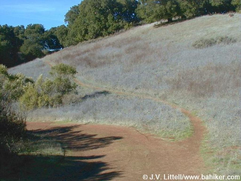
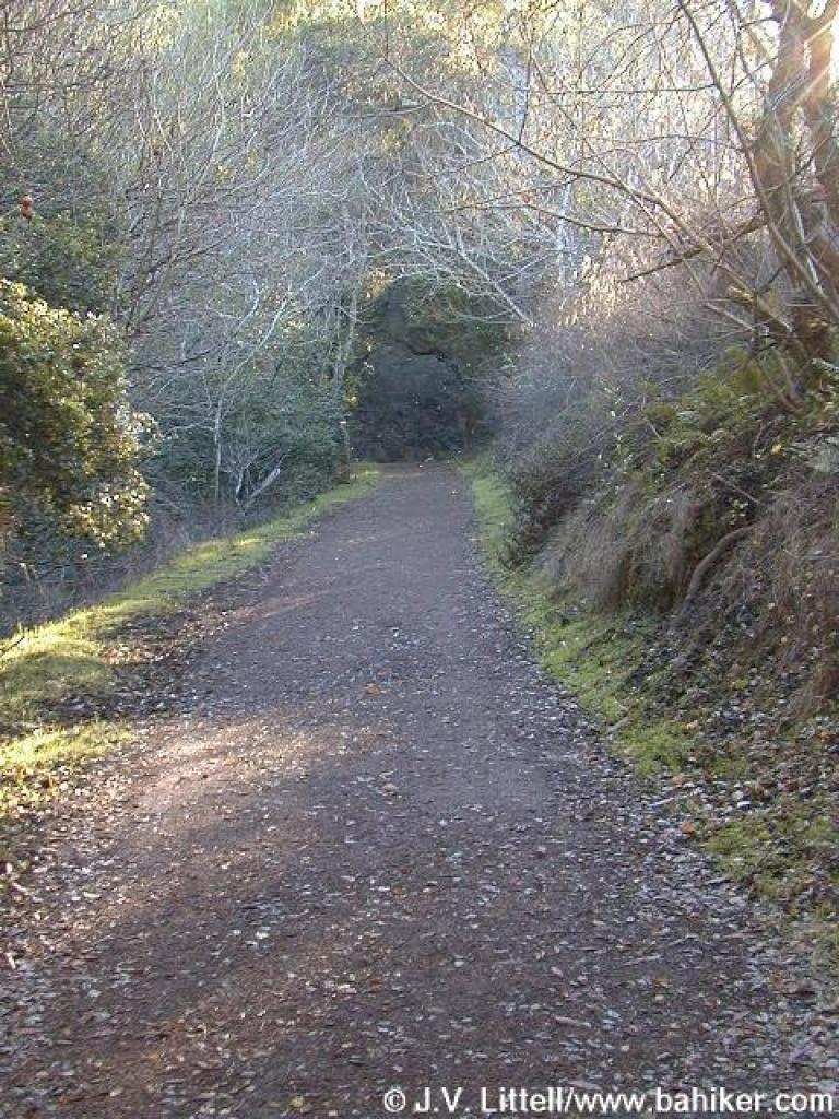 Uphill |
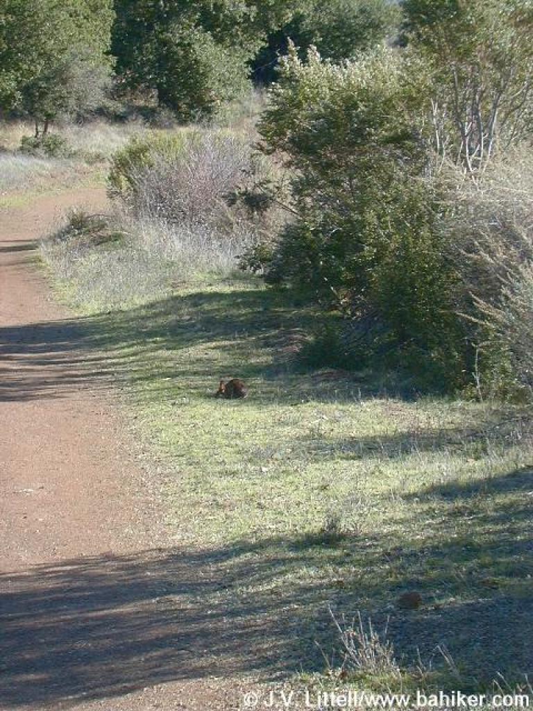
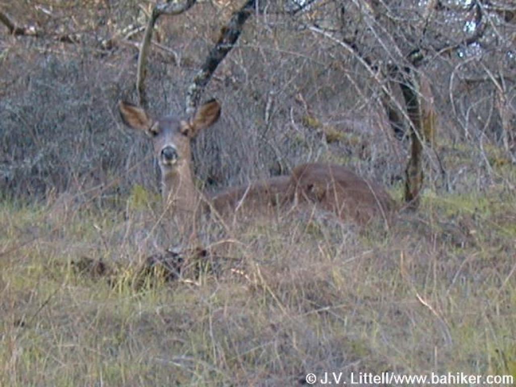 Deer |
|||||||
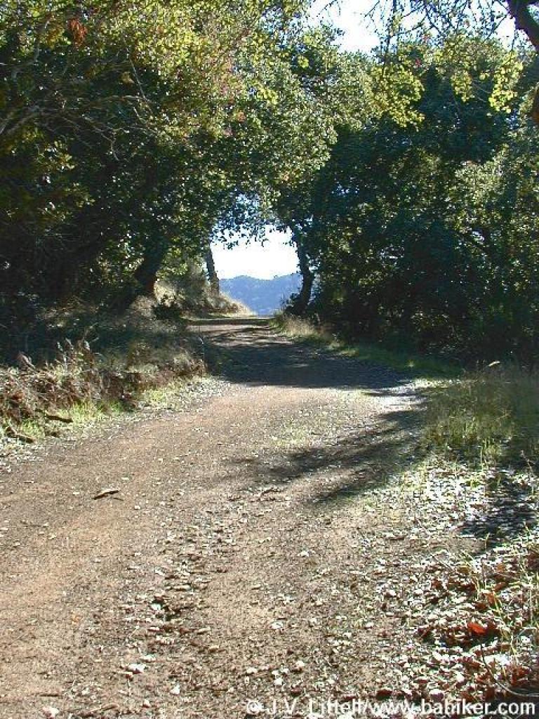
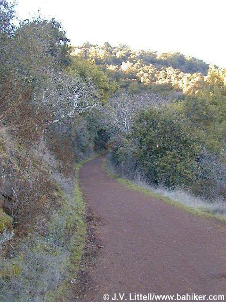 Chaparral lined trail |
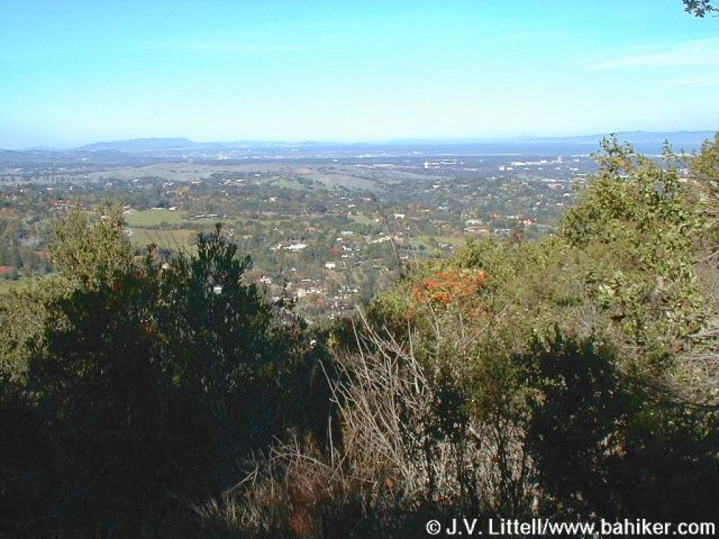
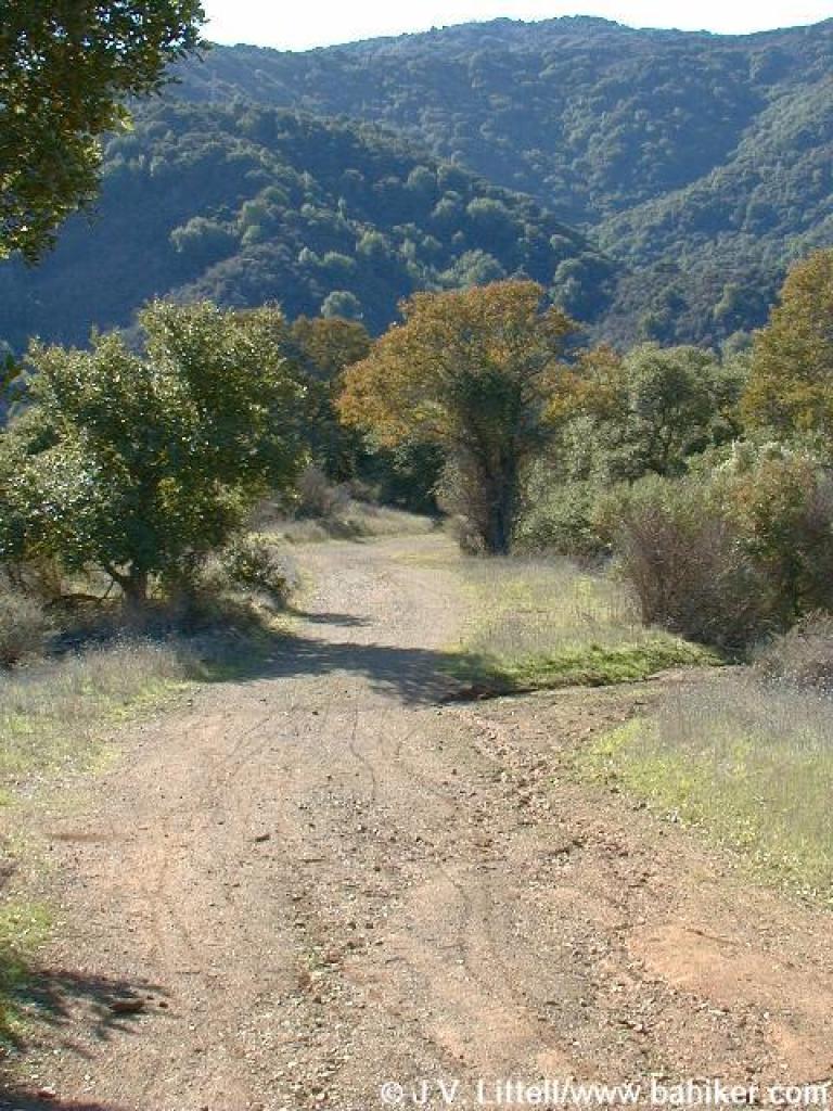
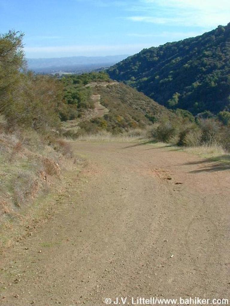
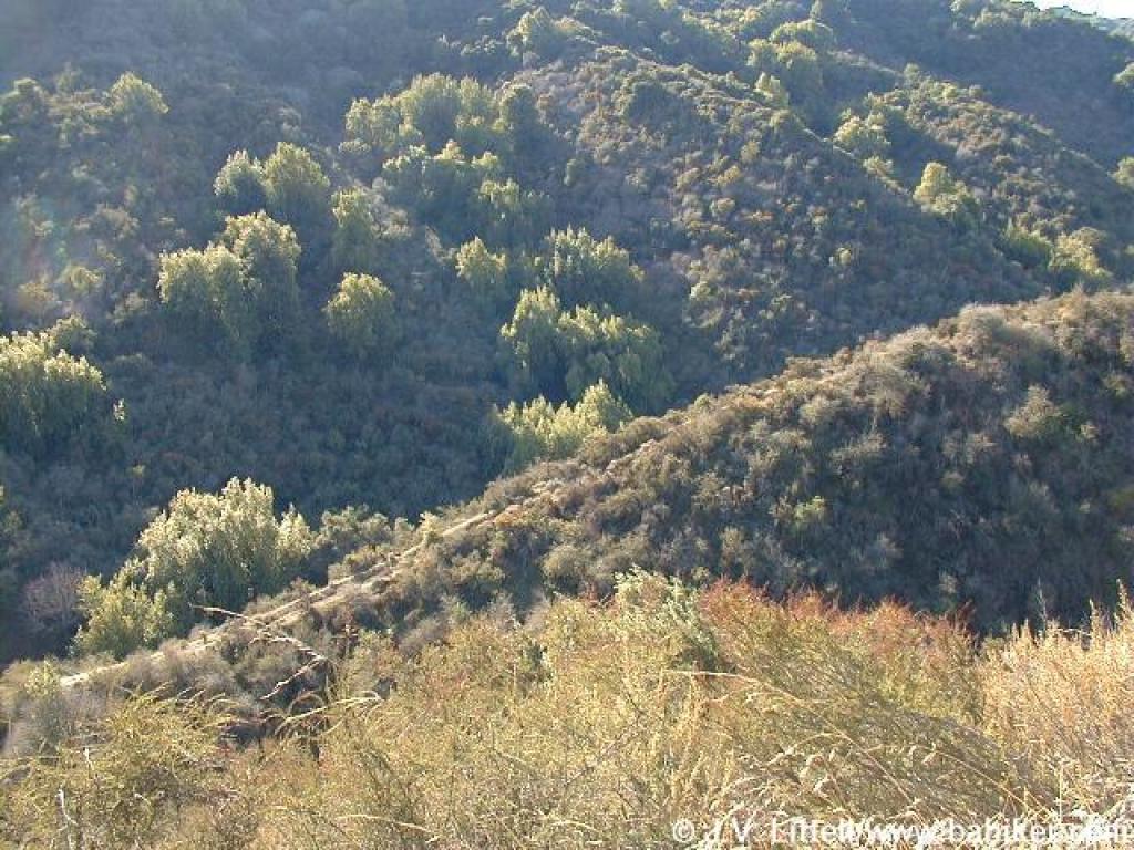
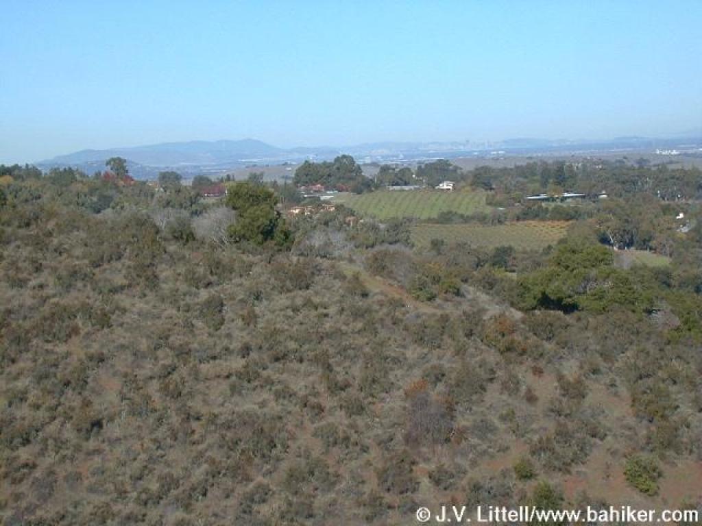 View |
 Belvedere |
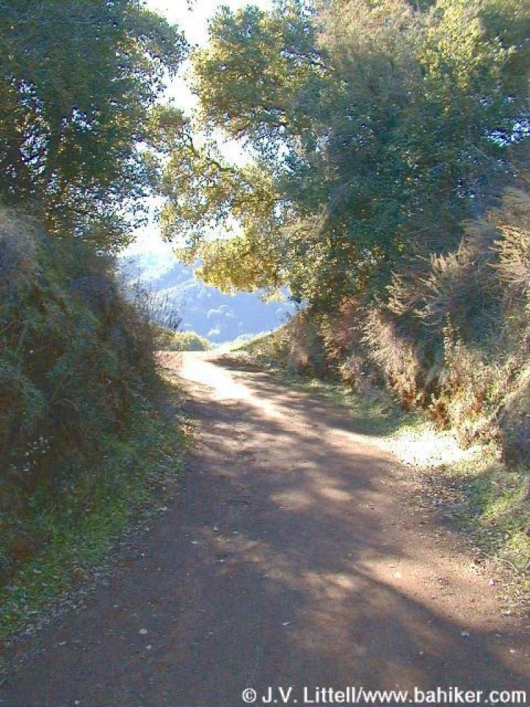
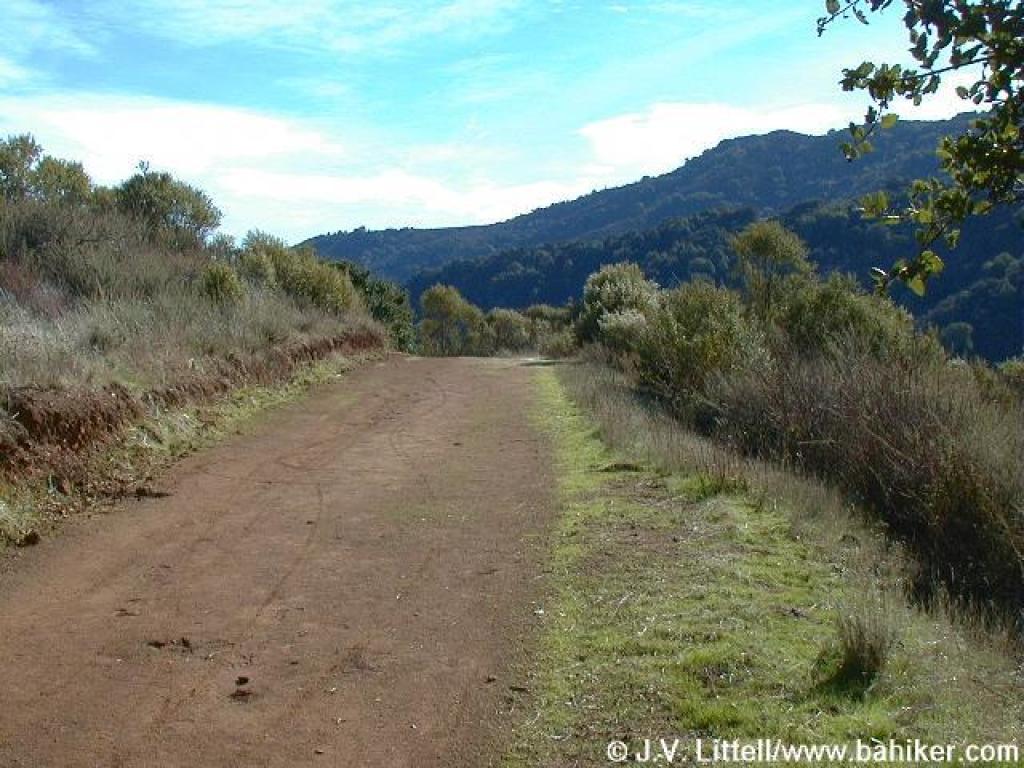
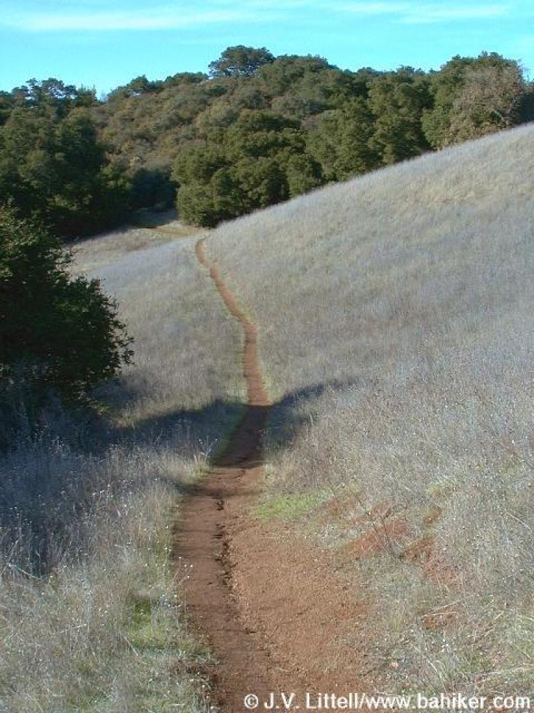
 Still more uphill |
|||||||
 Side trail |
 Steeper |
 Approaching the crest |
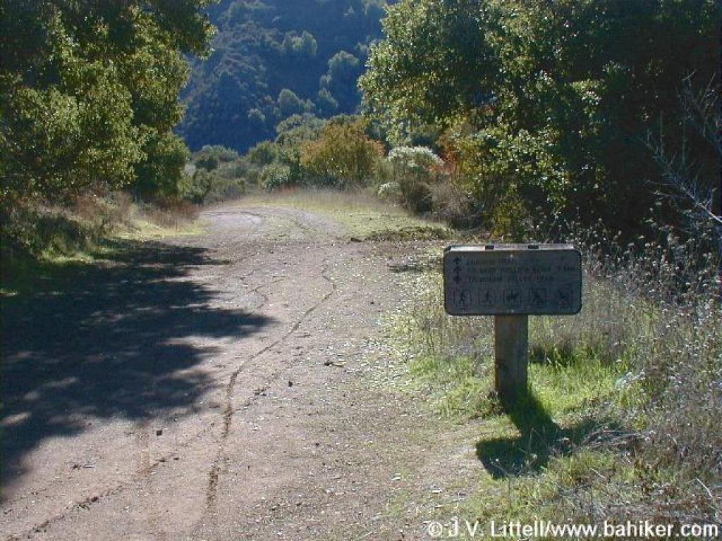
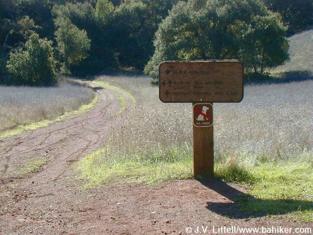 Junction |
|||||||
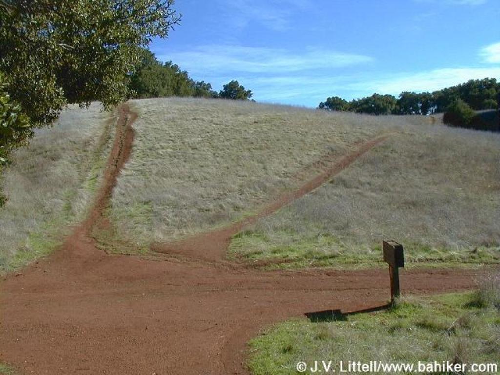 Another view of the junction |
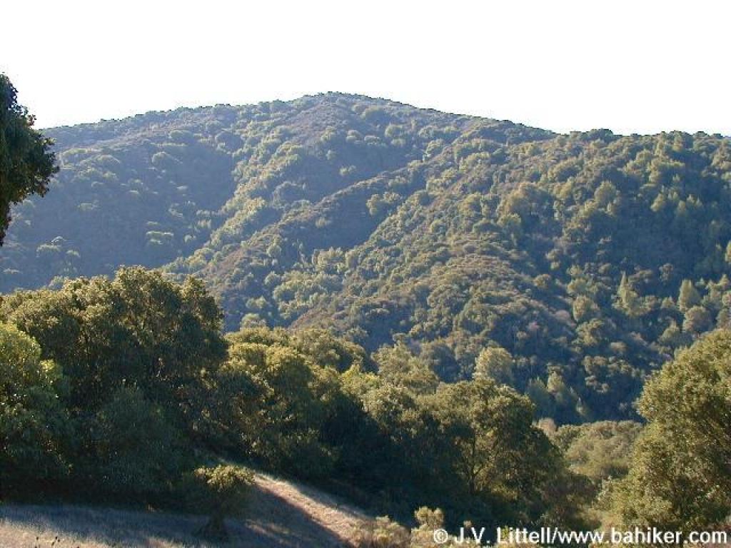 Black Mountain |
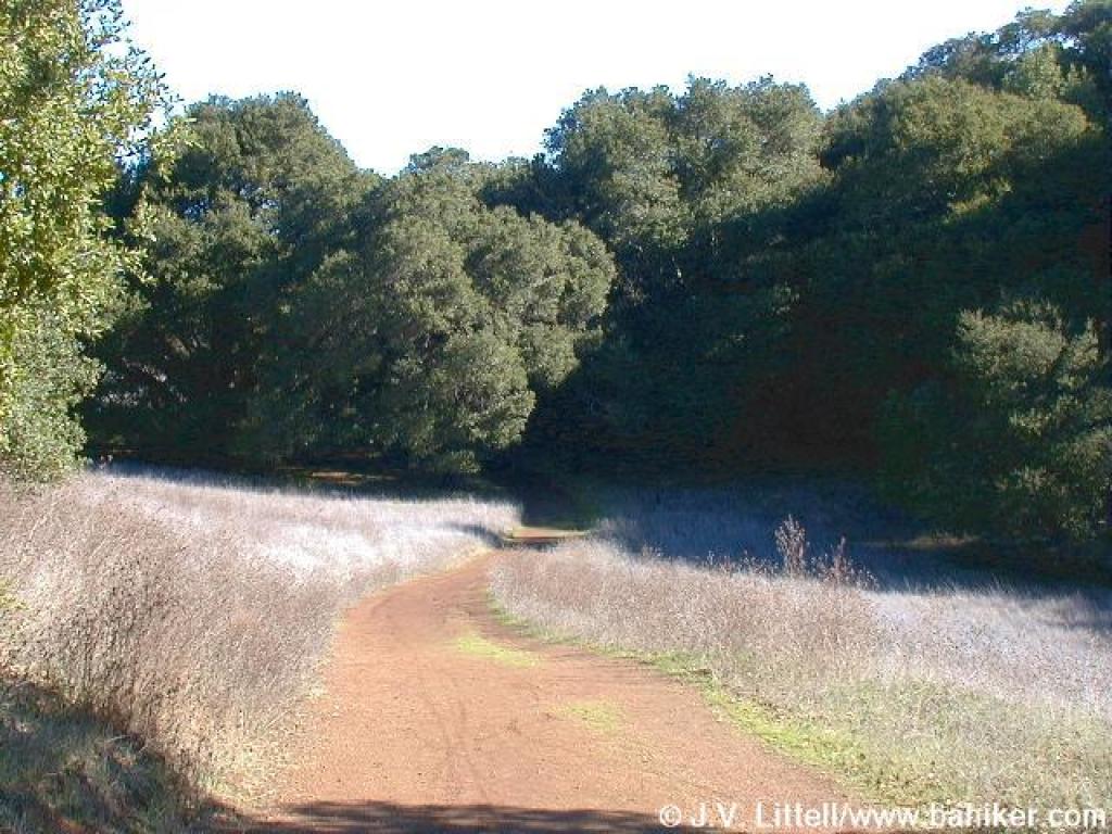 Trail to windmill site |
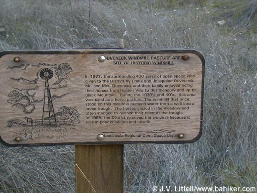 Sign at windmill site |
|||||||
 Looking back to junction |
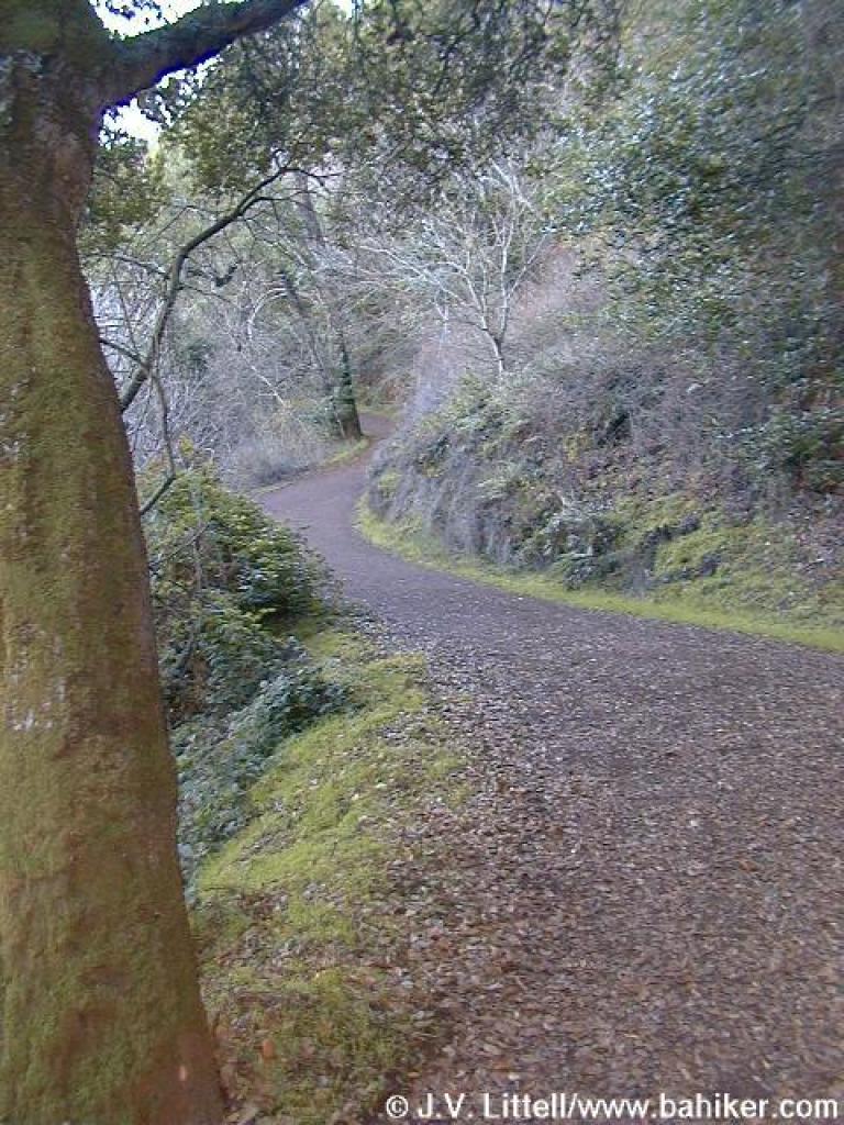
 Chamise Trail |
 Chamise Trail |
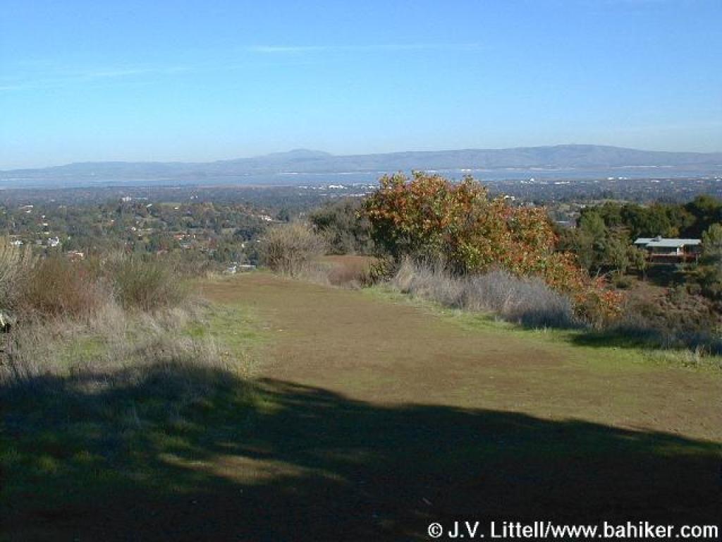
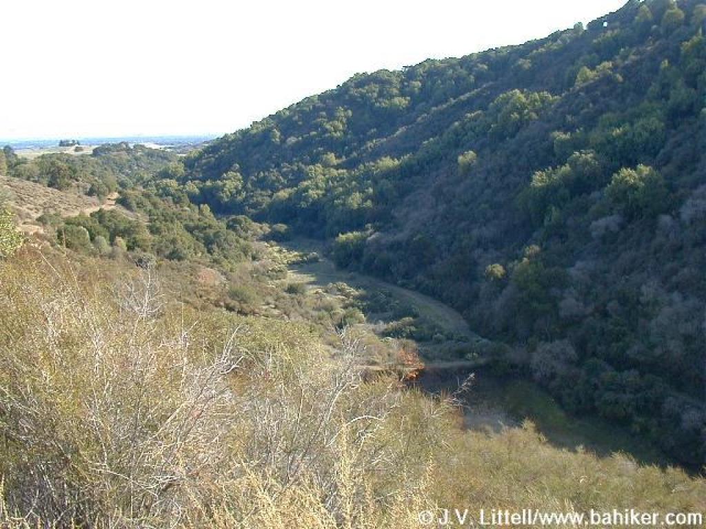
 View |
|||||||
 Chamise Trail |
 Bunny |
 Junction |
 Chamise Trail |
|||||||
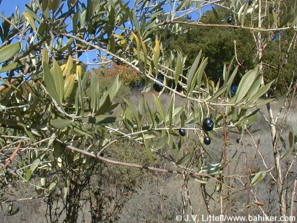 Olives |
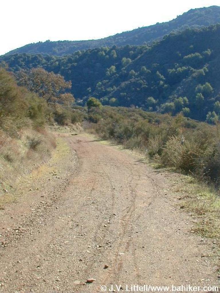 Downhill |
 Chamise Trail |
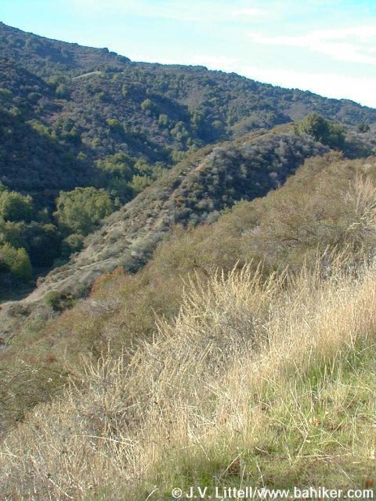
 Ridge |
|||||||
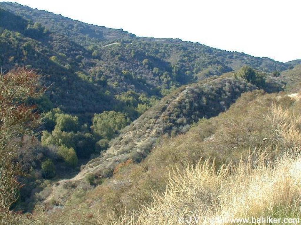
 Same ridge |
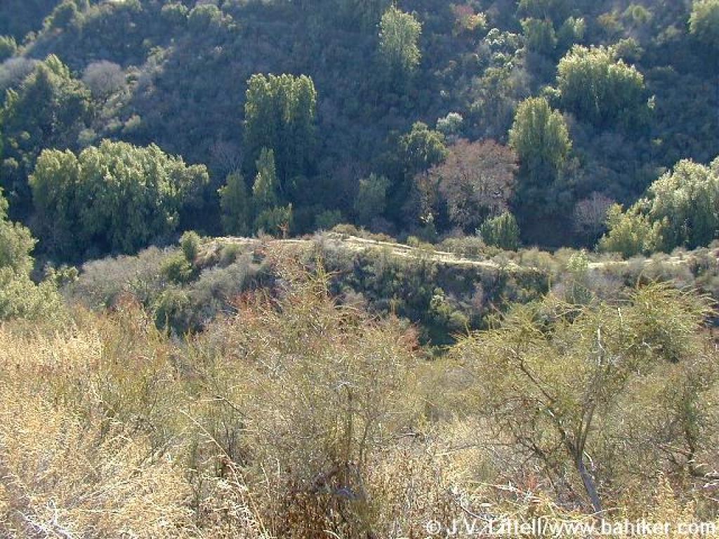
 Looking down to canyon |
 That ridge again |
 Can't stop taking pictures of the ridge |
|||||||
 Returning |
Go to Bay Area Hiker Rancho San Antonio Duveneck Windmill Trailhead page Go to Bay Area Hiker Home Page |
|||||||||