| Photos from a December
2000 Hike at Rancho San Antonio Open Space Preserve (click on any image for a larger view) |
|||||||
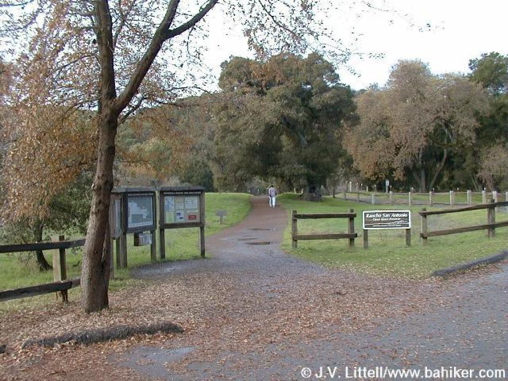
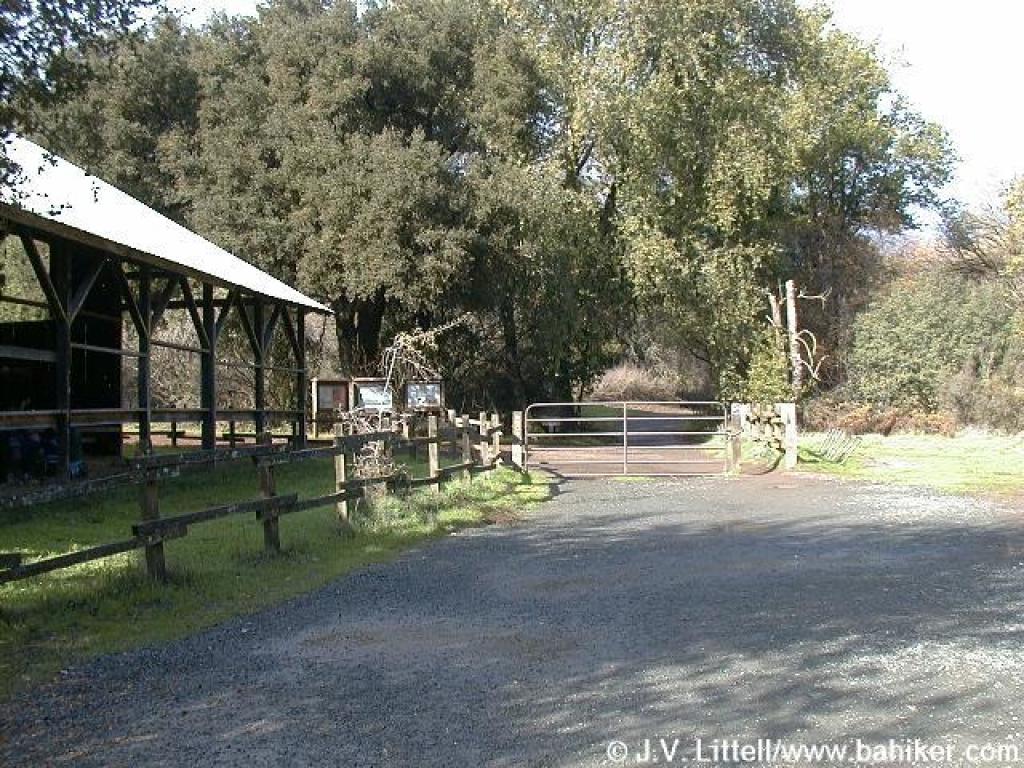
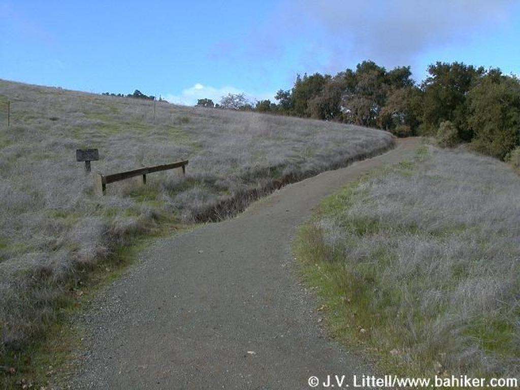
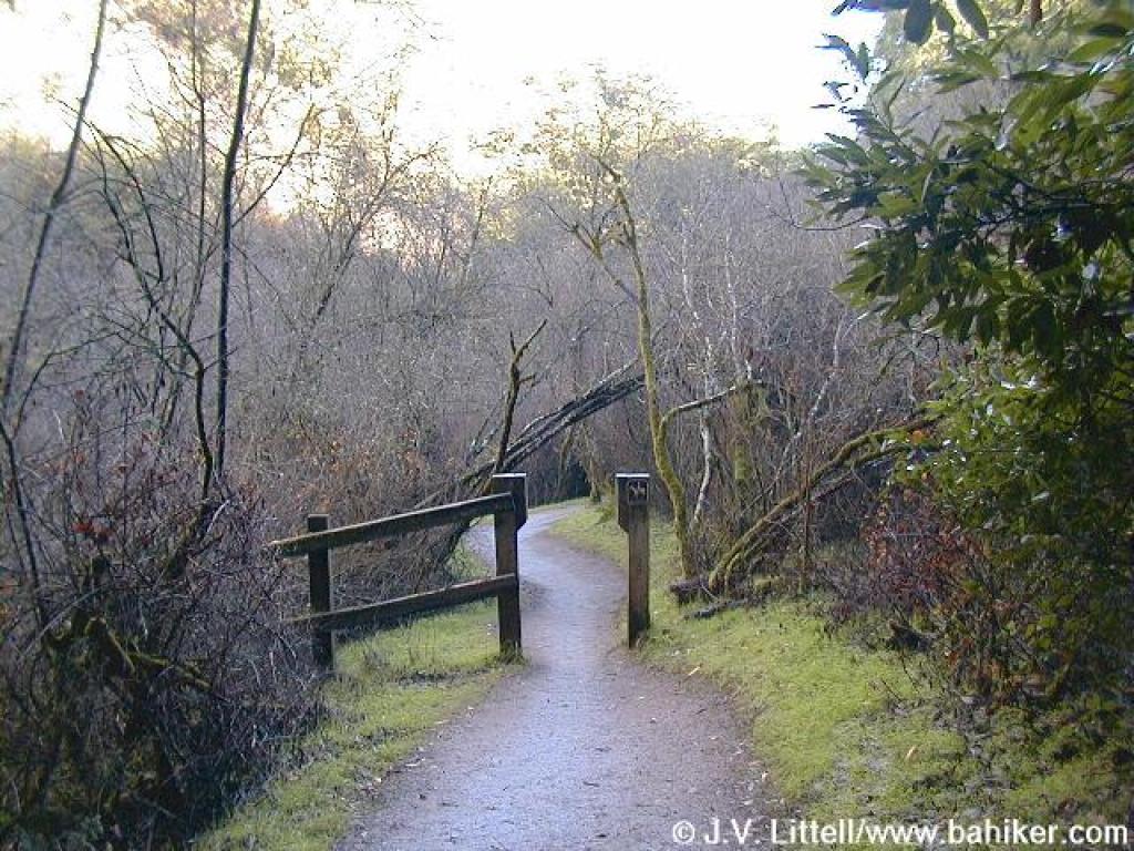
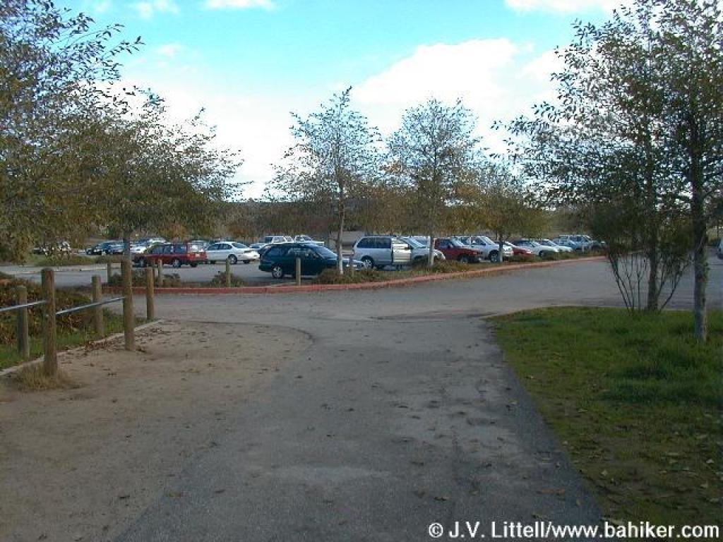 Trailhead |
 Start of trail |
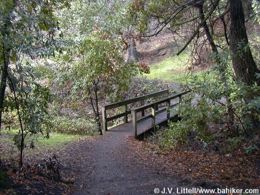
 Crossing a creek |
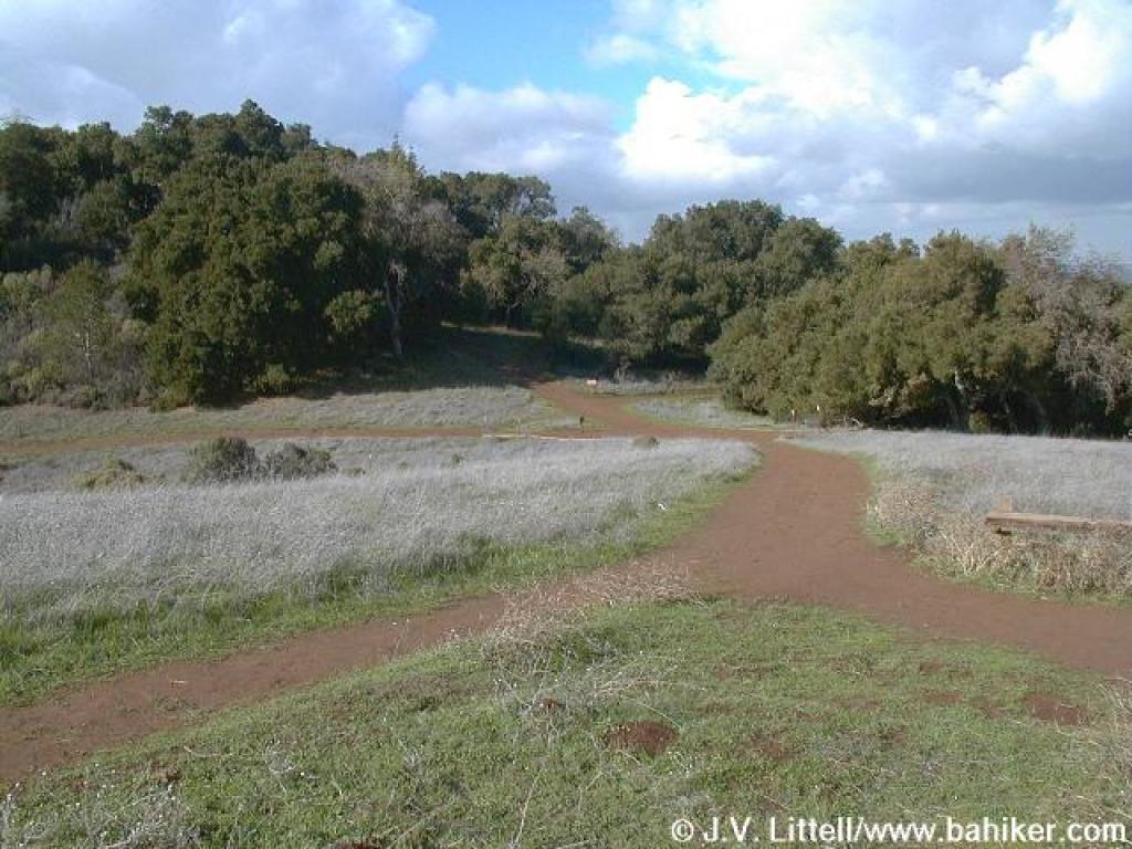
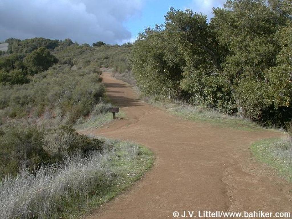
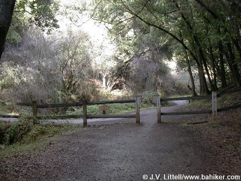
 Junction |
||||
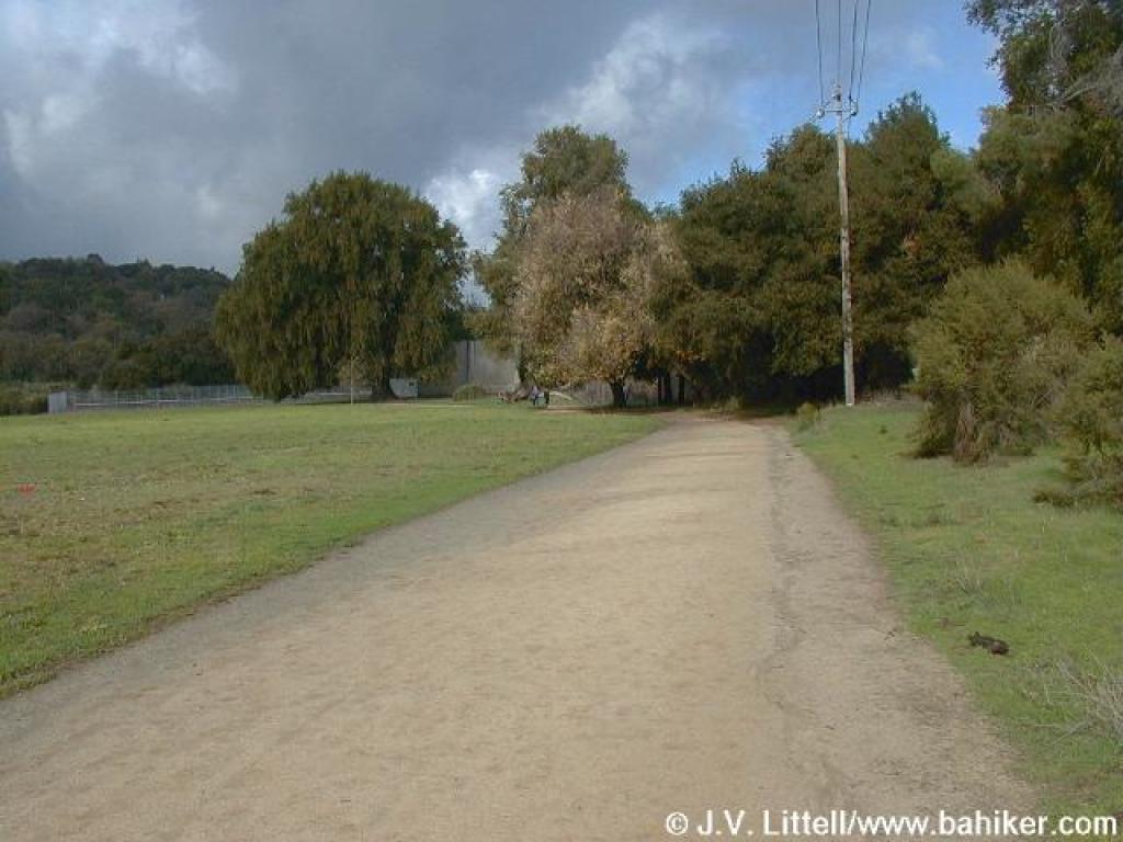
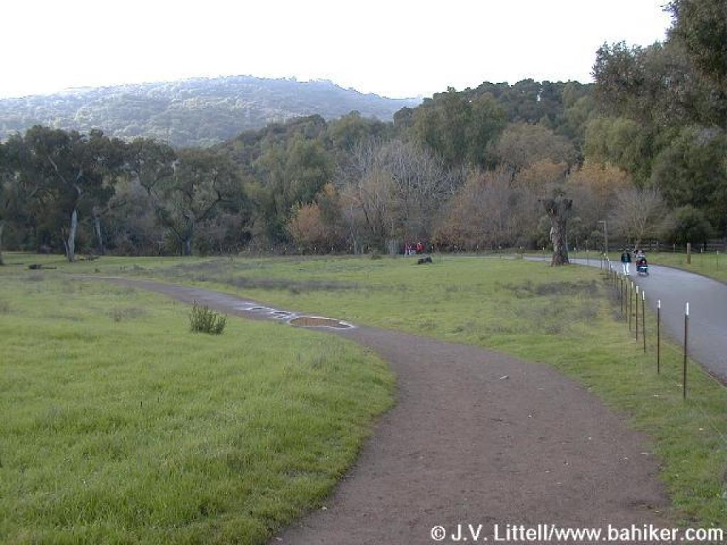
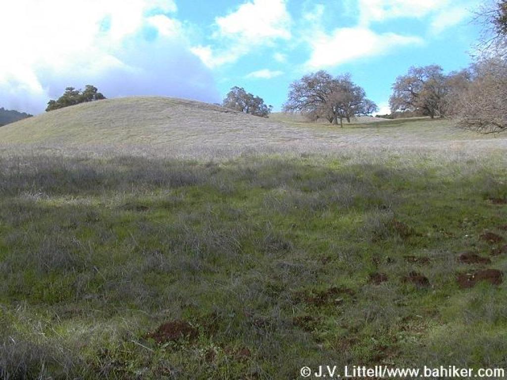
 Grassy meadow |
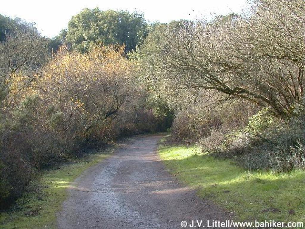
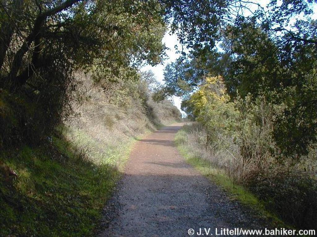
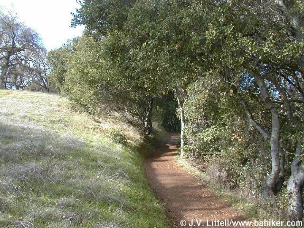
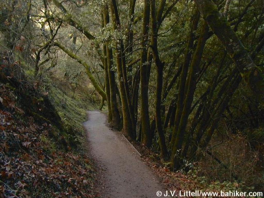
 Hiking-only trail |
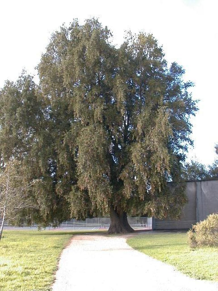 Huge California bay |
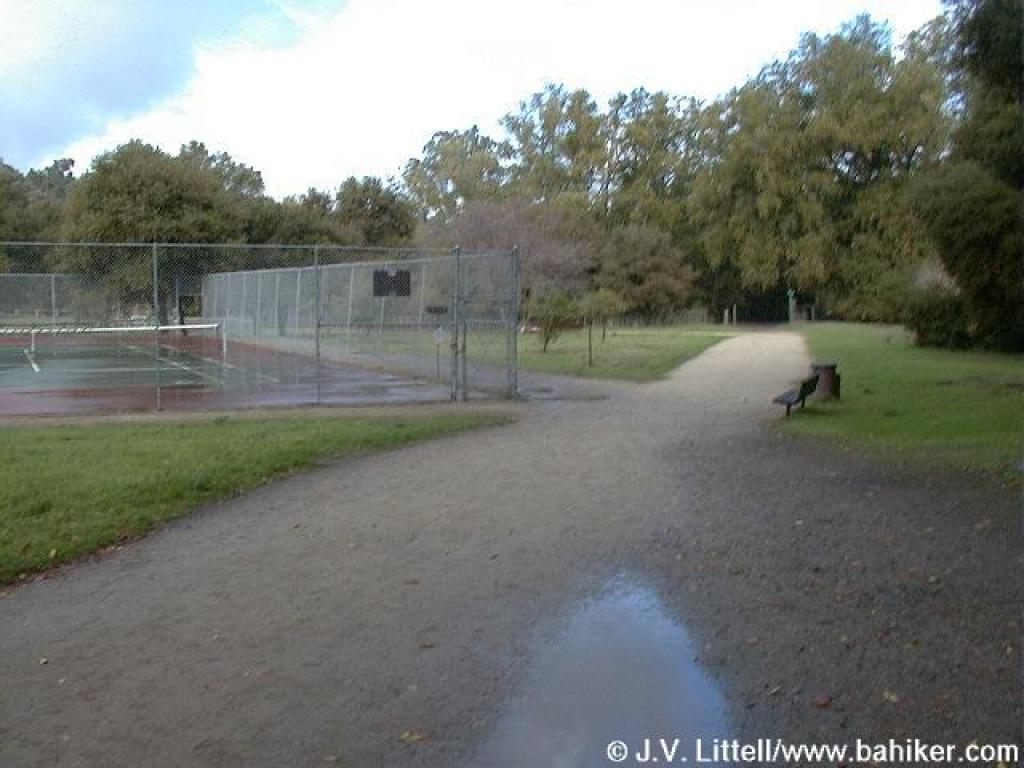 Skirting the tennis courts |
||||
 The border between the county park and open space preserve |
 Entering the open space preserve |
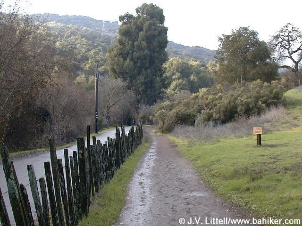
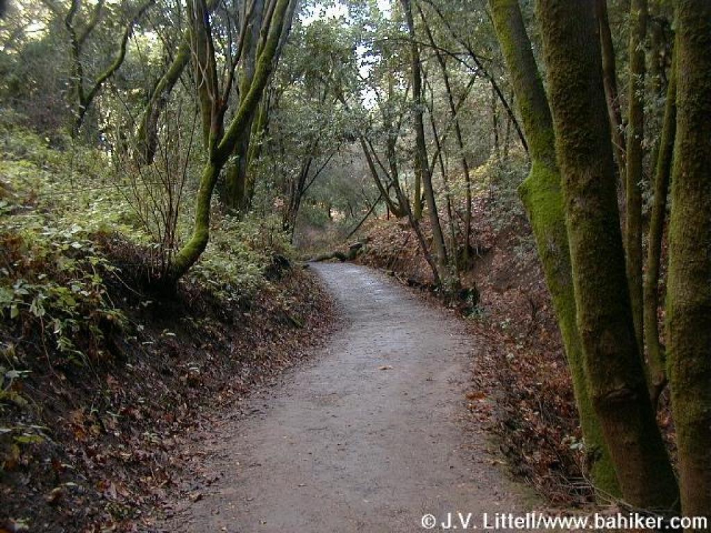
 Hiking only path adjacent to paved trail/road |
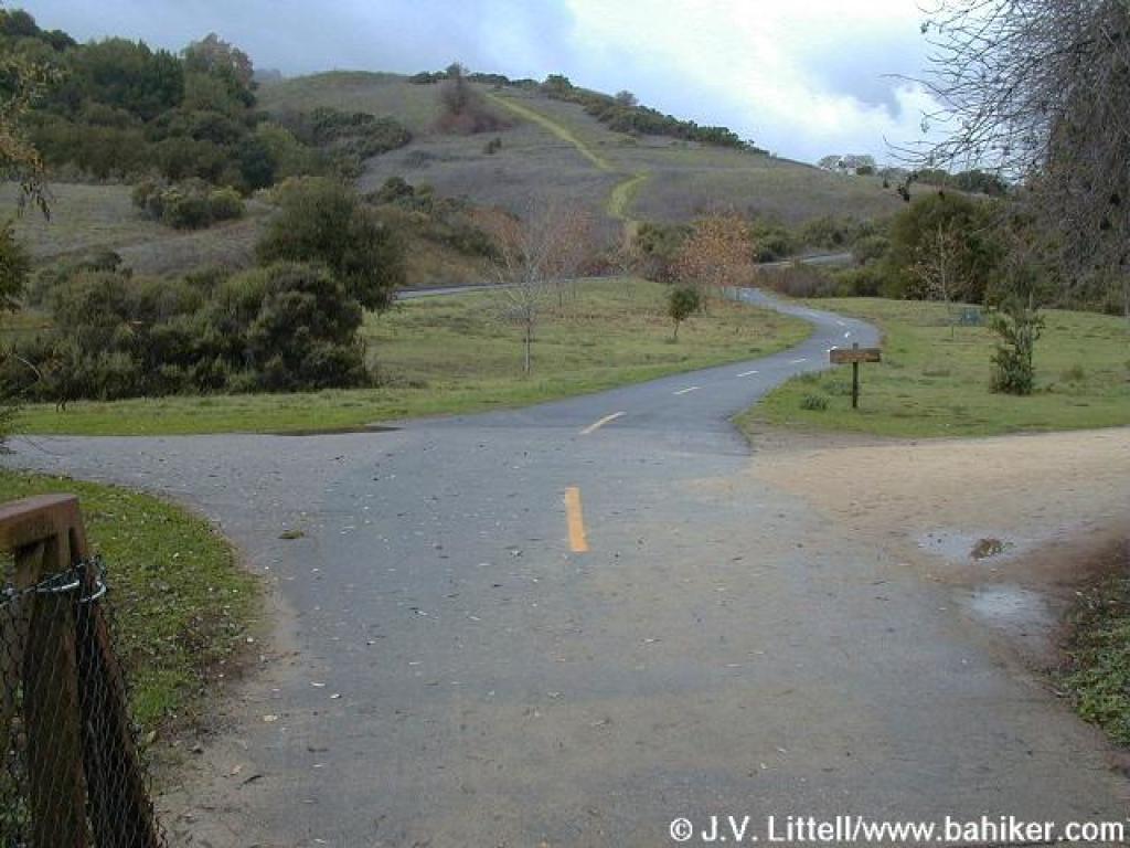
 Approaching a junction with the paved road/trail |
||||
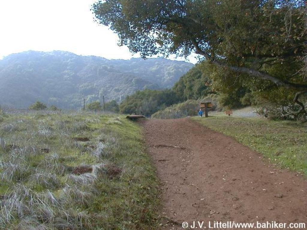
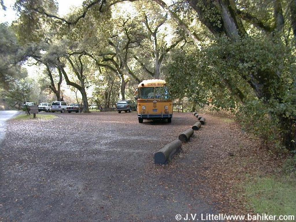 Lower Meadow Trail skirts the by-permit parking area |
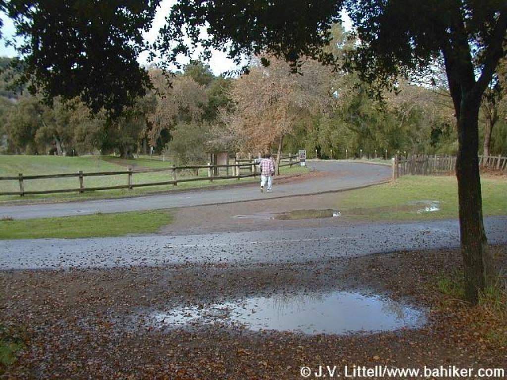
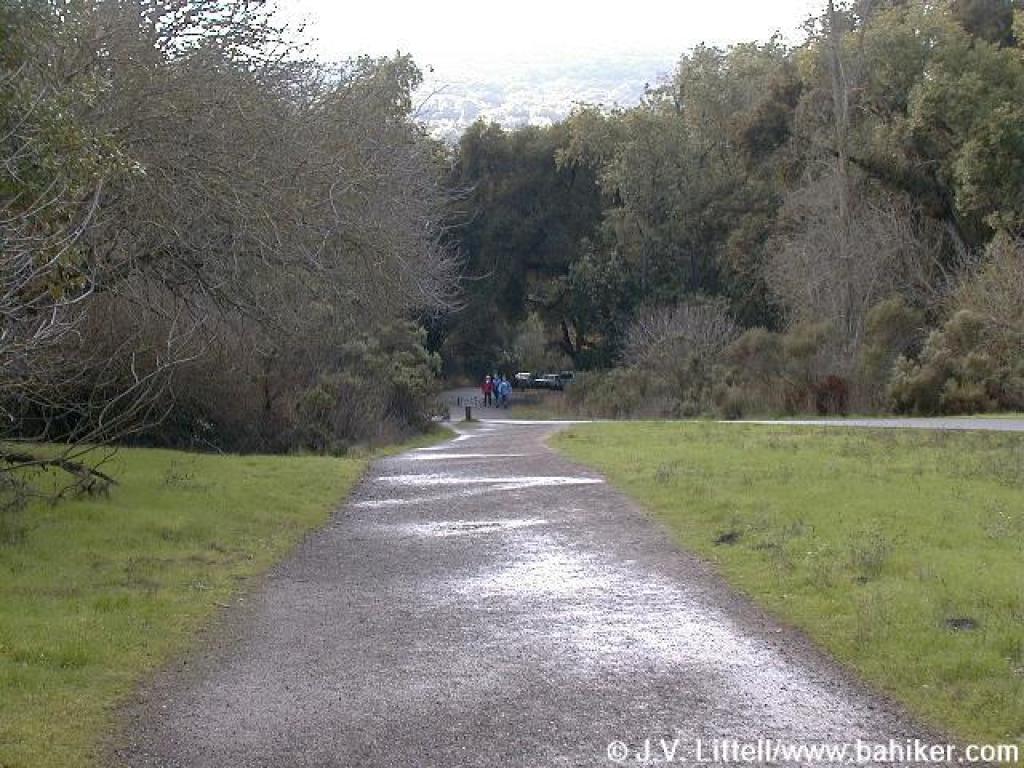
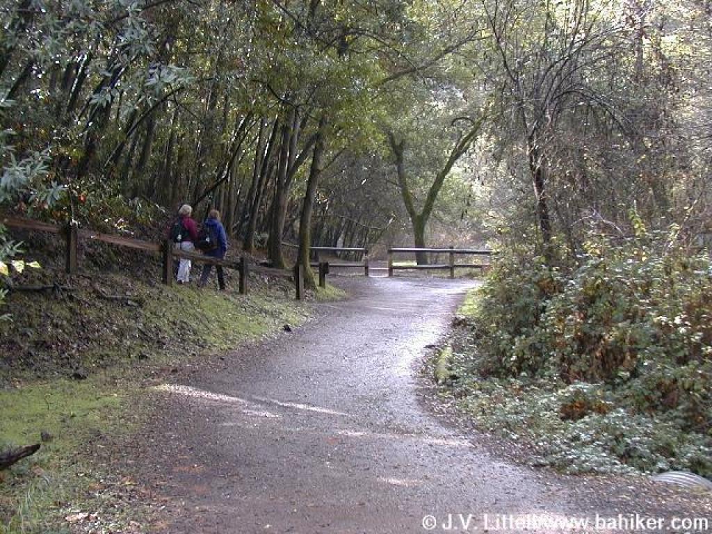
 Picking up the trail again |
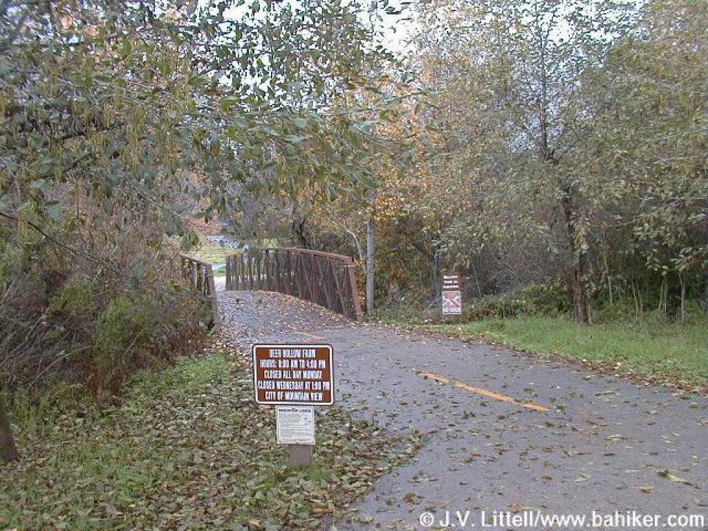
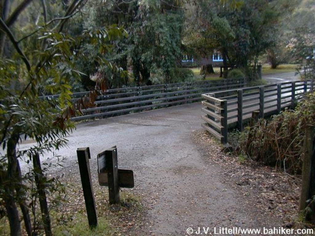
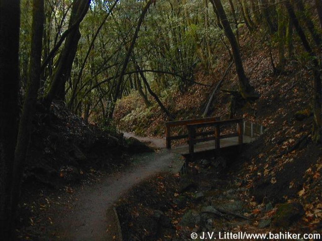
 Bridge crosses a creek |
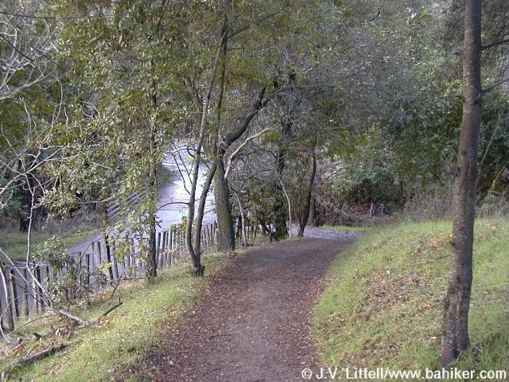
 Eucalyptus, willow, and oak can be found along the trail |
||||
 For a short stretch, the trail runs along the road |
 Approaching a junction |
 You can stay to the right and continue on the dirt, or take the left paved road |
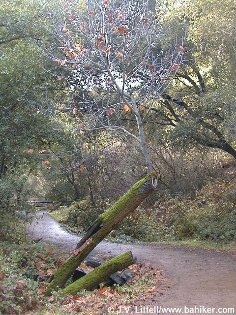
 After a few dips, the trail prepares to end for good, just before the farm |
||||
 Lower Meadow Trail dumps into the paved road |
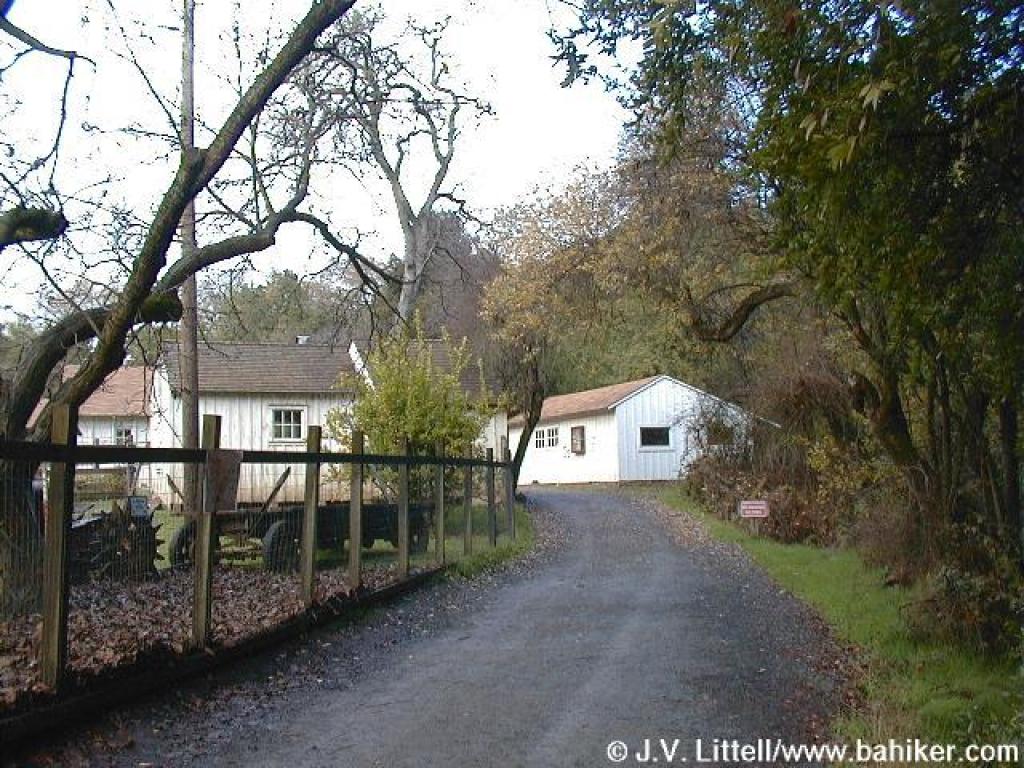 Deer Hollow Farm |
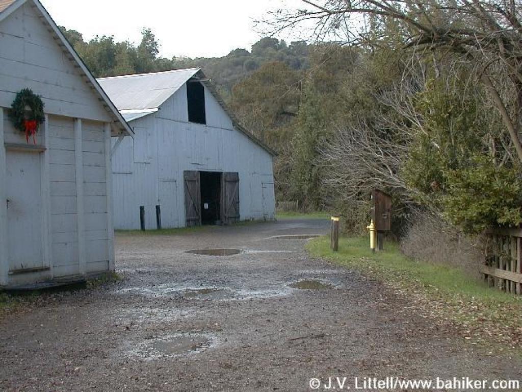 Some of the old farm buildings |
 Pomegranate trees |
||||
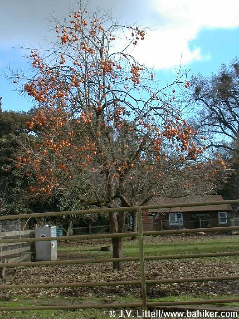 Persimmon tree |
 Goats, sheep, cows, and pigs live at the farm |
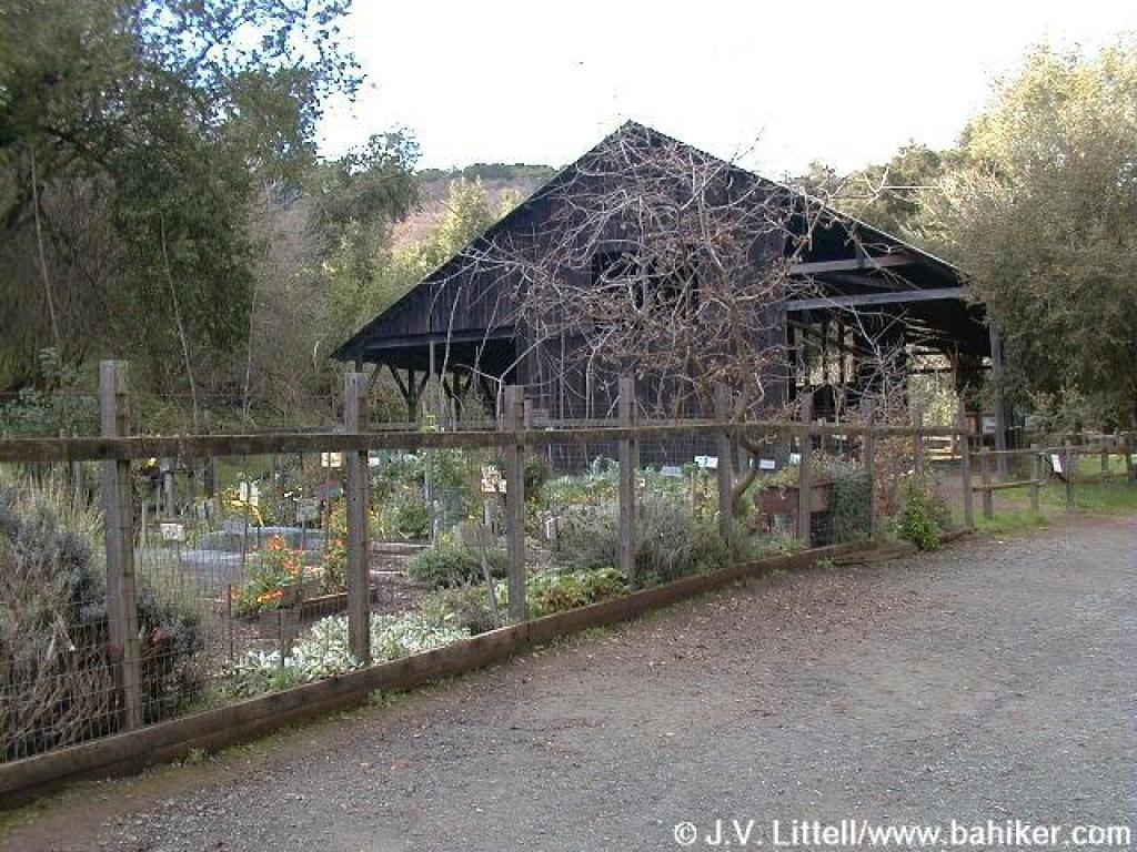 Farm's garden, with the educational barn in the background |
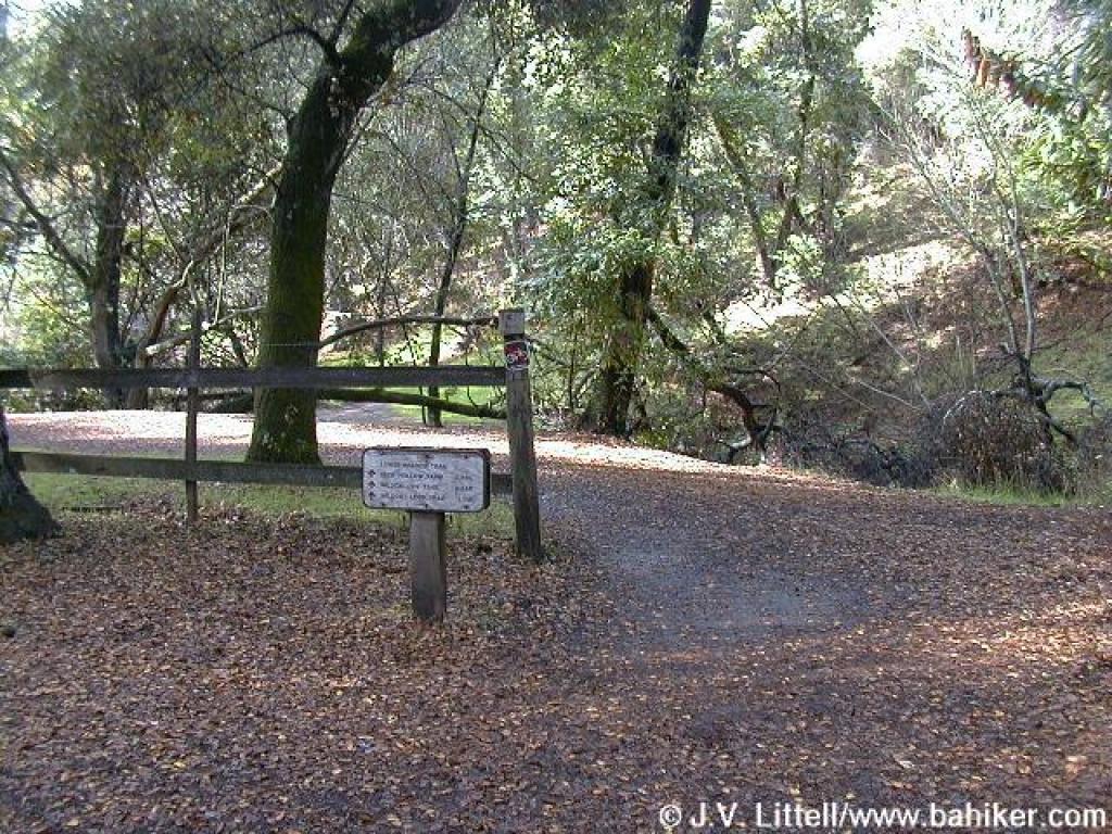
 Just past the barn, you pass through a gate and reach a junction |
||||
 Trail west of Deer Hollow Farm |
 Maple |
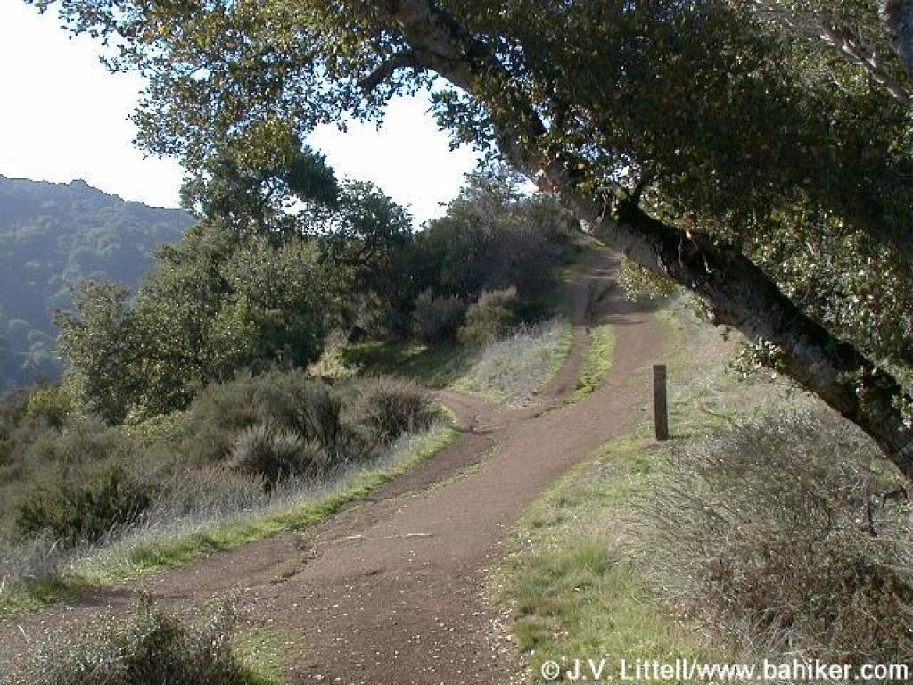
 Approaching junction |
 Heading uphill on High Meadow Trail |
||||
 Silktassel |
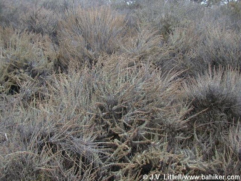 Sagebrush |
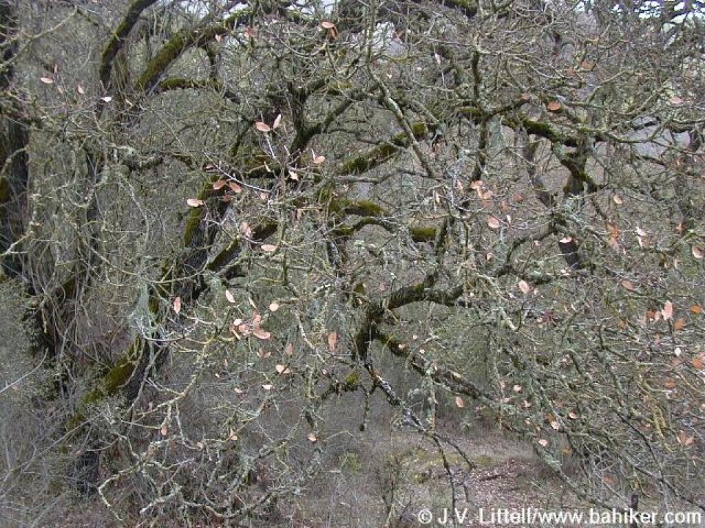 Blue oak |
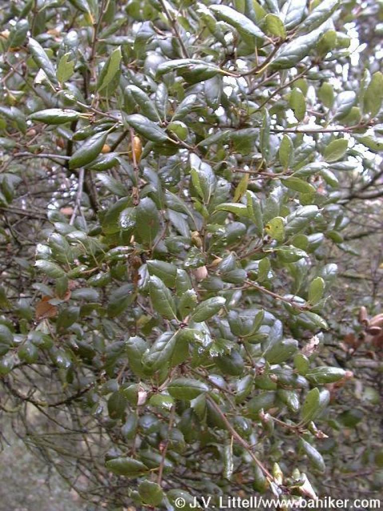 Coast live oak |
||||
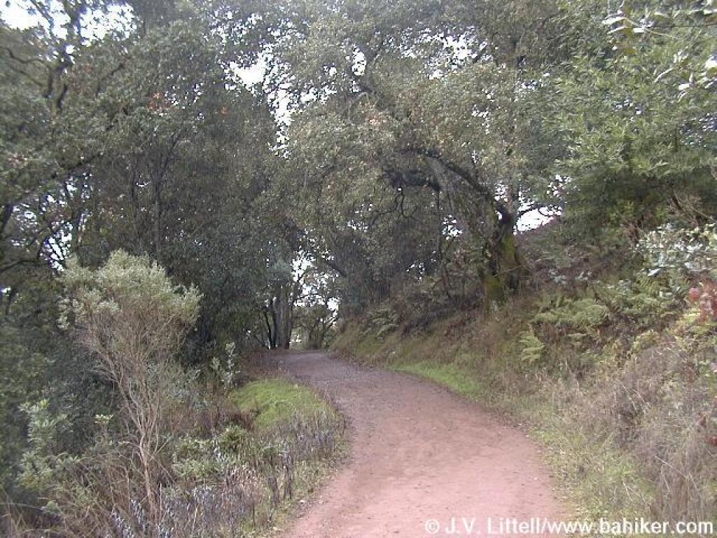 Trail switchbacks uphill |
 A grassy area, populated with oaks |
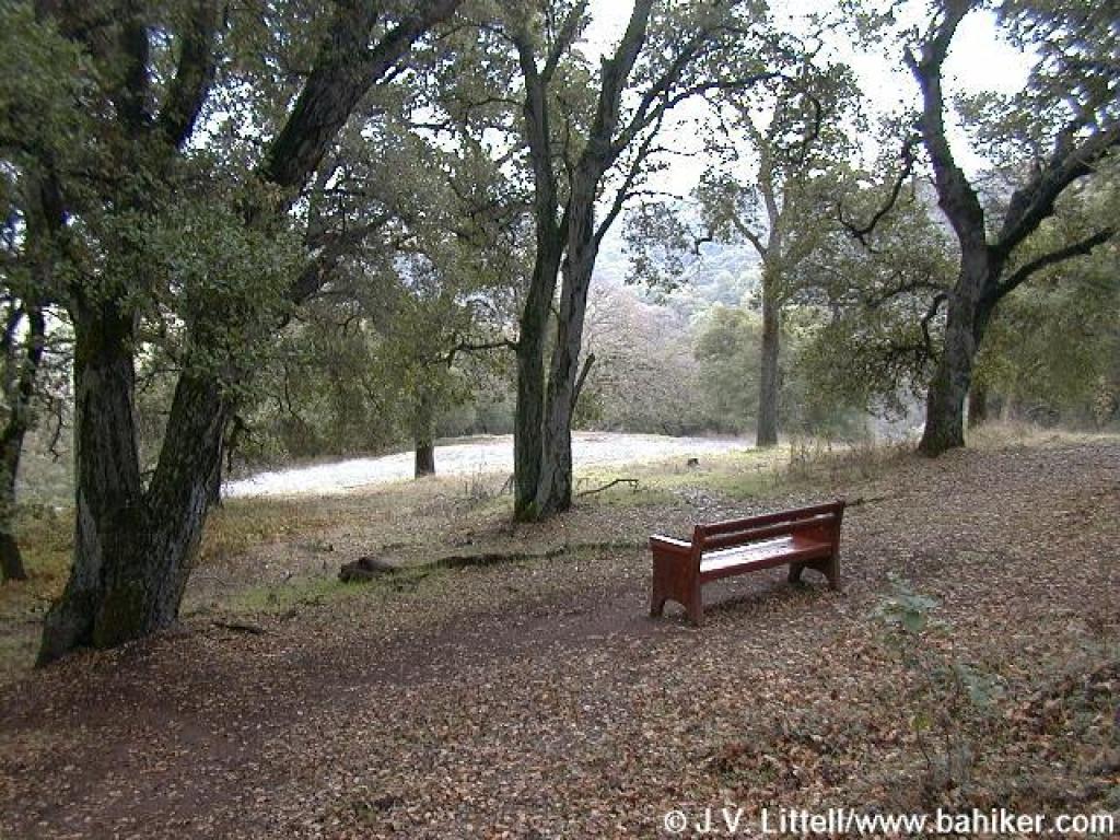 Bench under coast live oaks |
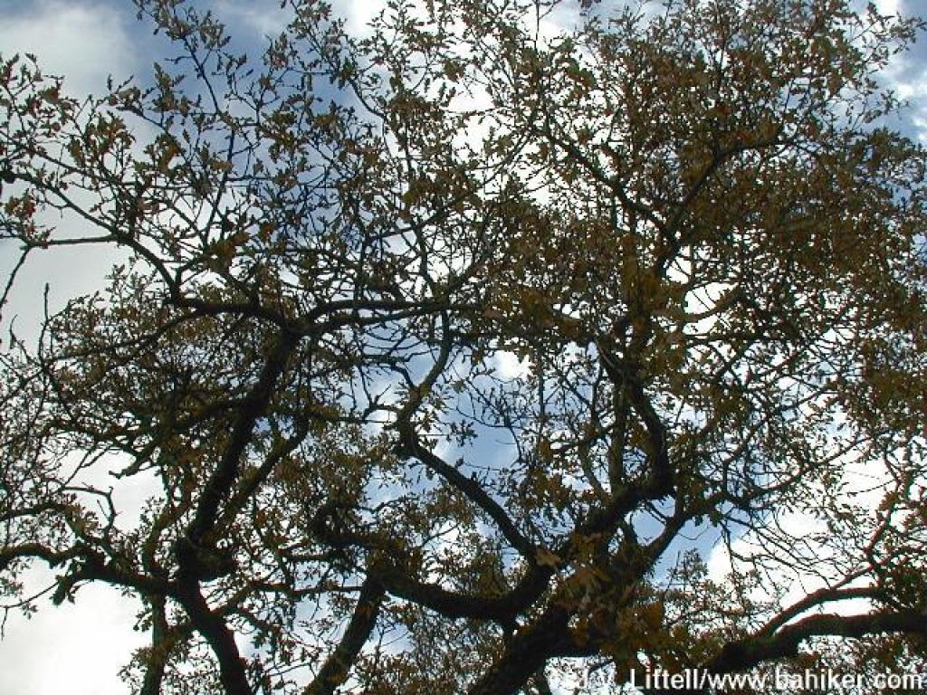 Looking up, through the oak leaves |
||||
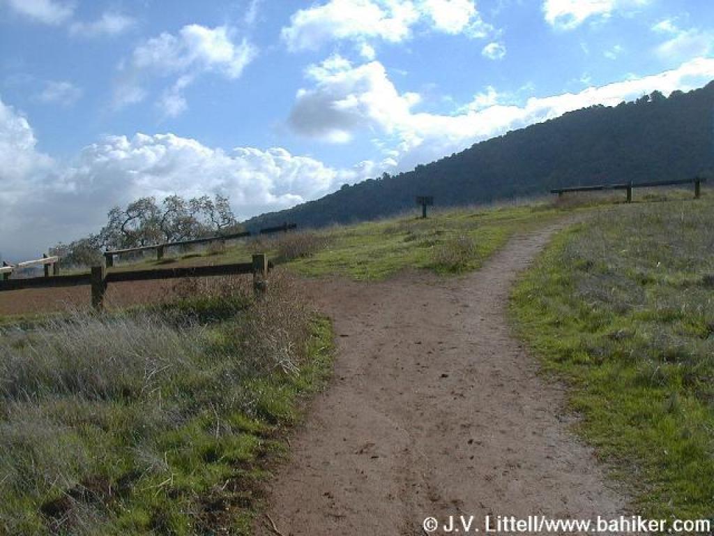
 Trail is protected by fences |
 Grassy knoll |
 Cercocarpus, or mountain mahogany |
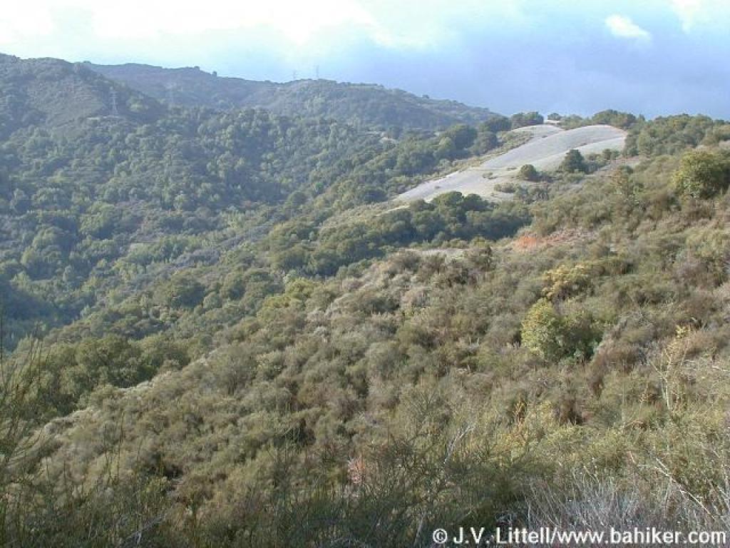
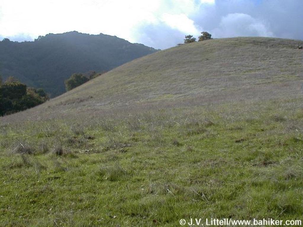 Contrast between grassy foothills, and Black Mountain |
||||
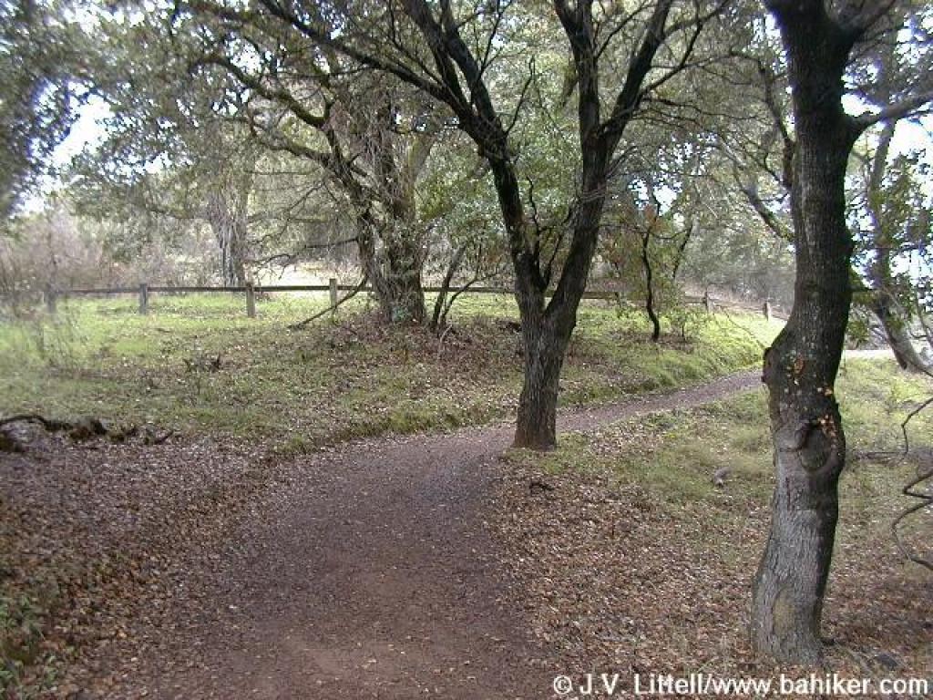
 Trail edges under oaks |
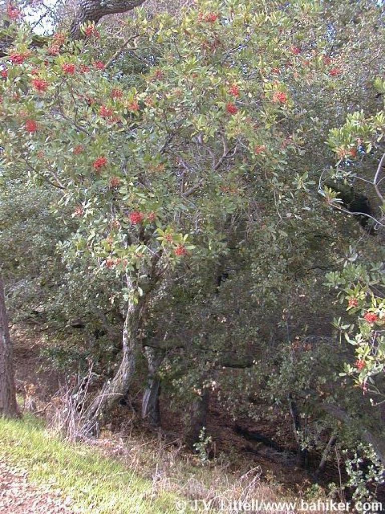 Toyon |
 High Meadow Trail nears a crest |
 Approaching a junction |
||||
 Path to viewpoint |
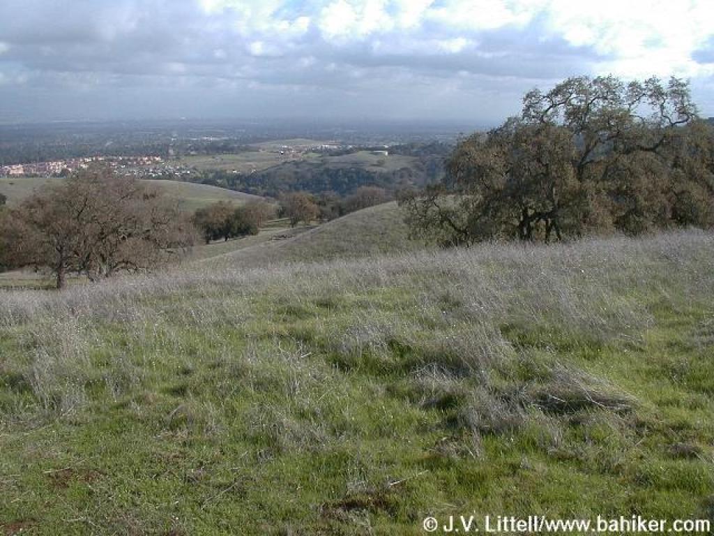 View |
 Looking back down to junction |
 Trail climbs easily through a typical east-facing mountain slope |
||||
 Passing from the east to the west side of the ridge, the change in plant communities is dramatic |
 Through chaparral |
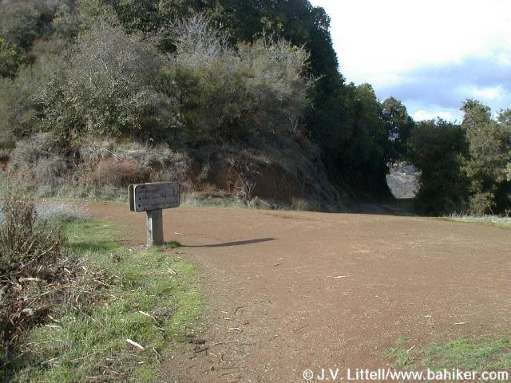 Junction |
 View to the northwest |
||||
 Junction |
 Animal prints |
 Coyote print |
 Upper Wildcat Canyon Trail |
||||
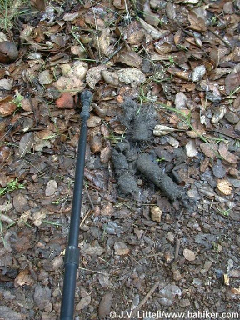 Photo of large scat |
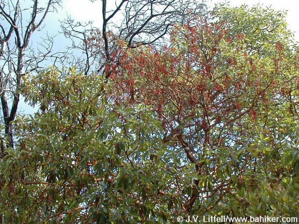 Madrone |
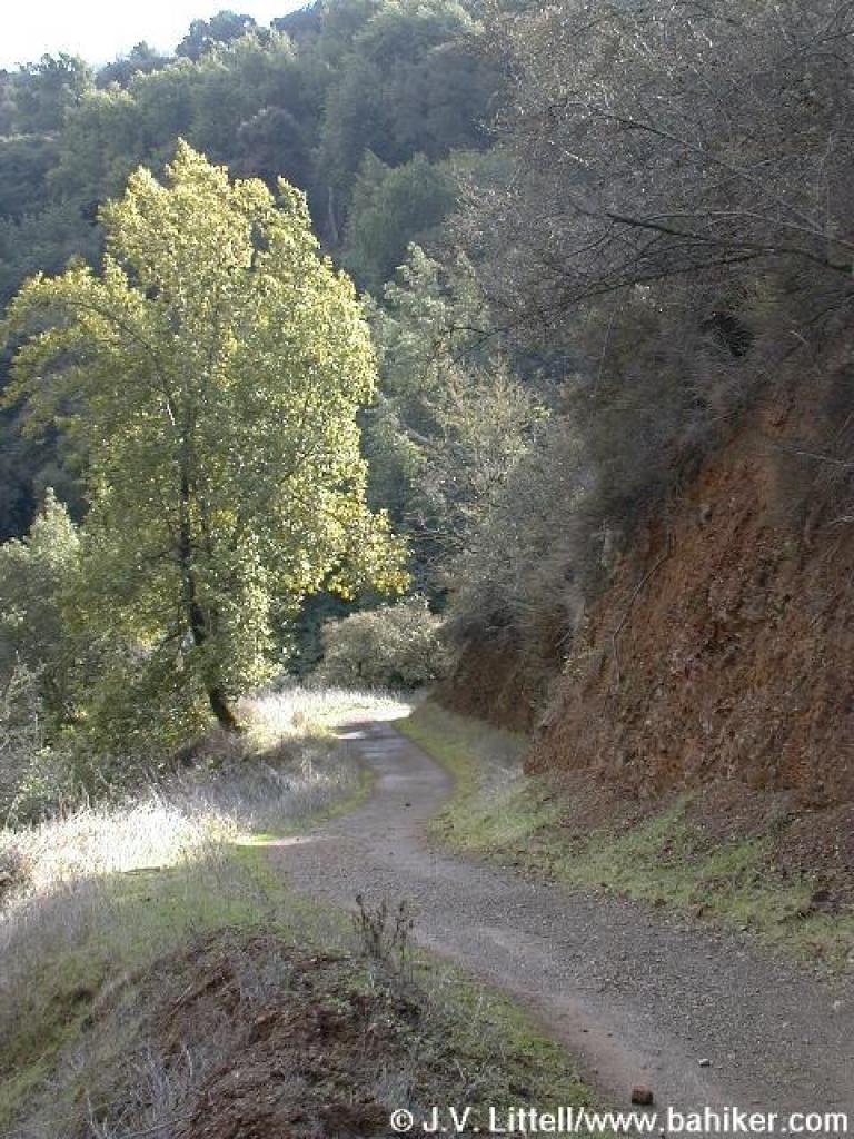 Descending into the canyon |
 An oak |
||||
 Reaching the canyon floor |
 Passing beneath California bays |
 Winding through a cool canyon |
 One of many creek crossings |
||||
 Junction with Wildcat Loop Trail |
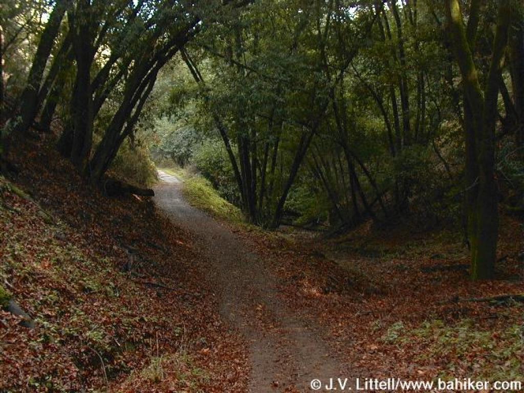
 A particularly lovely stretch of trail |
 Junction; this is what happens when the camera flash breaks |
 A more narrow, hiking only trail |
||||
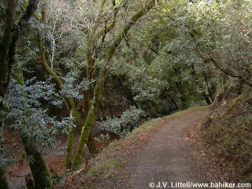
 Damp woods under California bays |
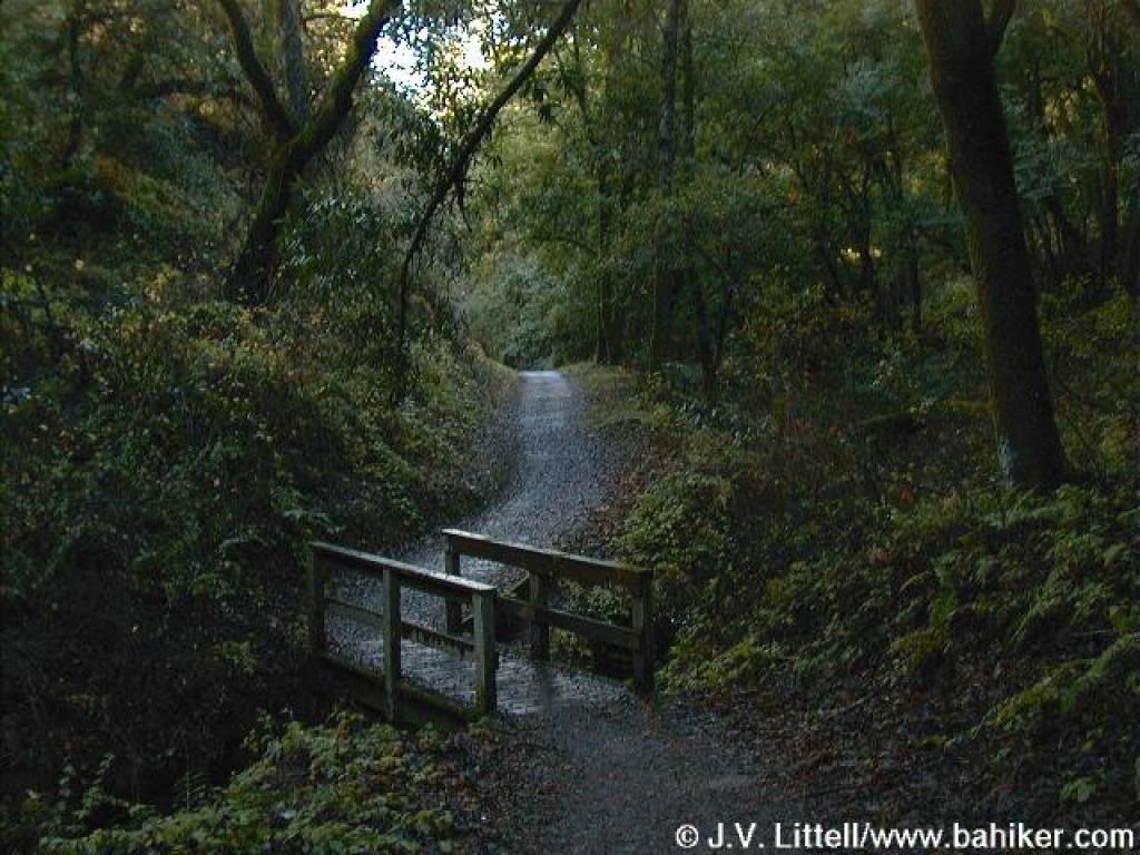
 Another lovely bridge |
 Moss covered tree trunks |
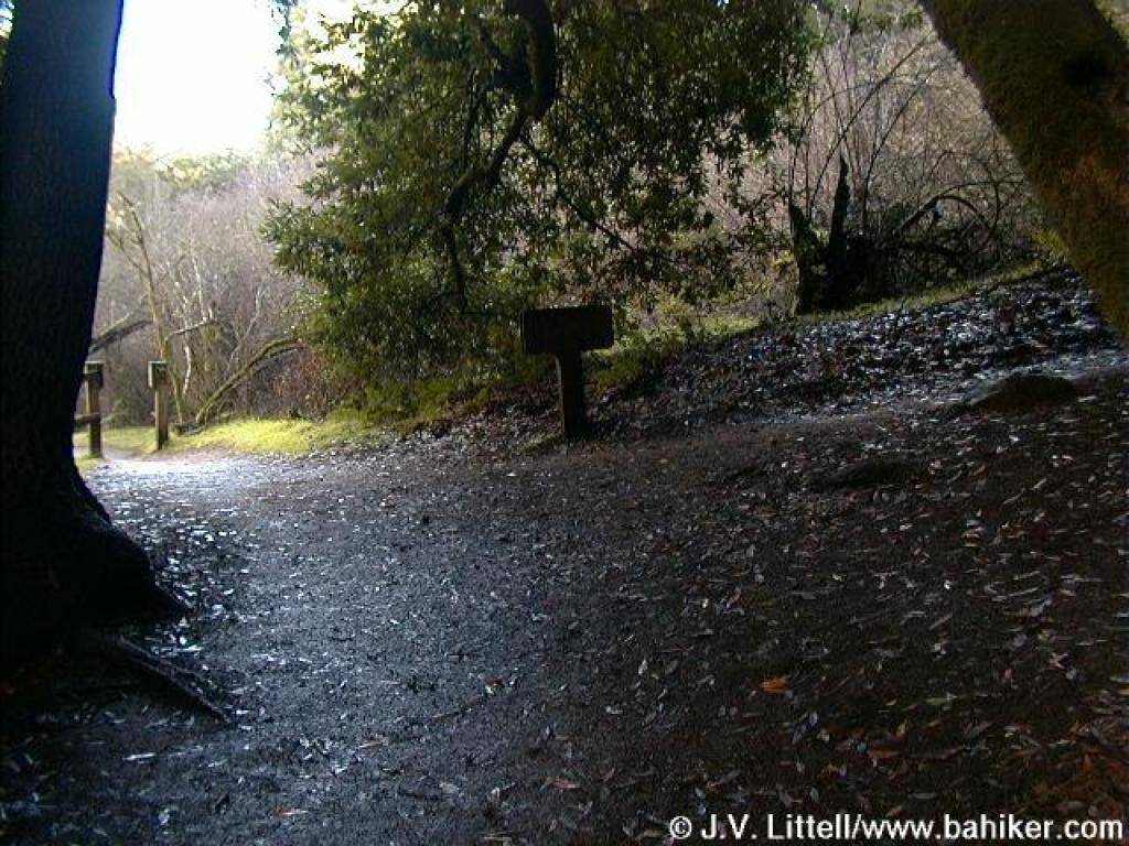
 Junction |
||||
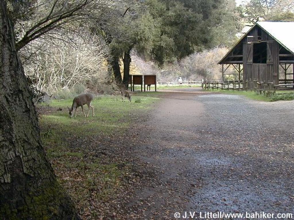 Deer appropriately encountered at Deer Hollow Farm |
Go to Bay Area Hiker Rancho San Antonio page Go to Bay Area Hiker Home page |
||||||