| Photographs from a February 2000 hike at Russian Ridge Open Space Preserve (click on any image for a larger view) | ||||||||
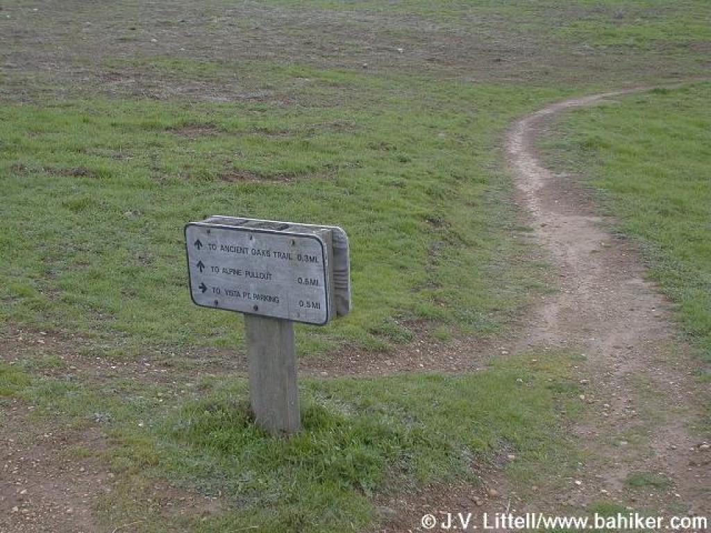
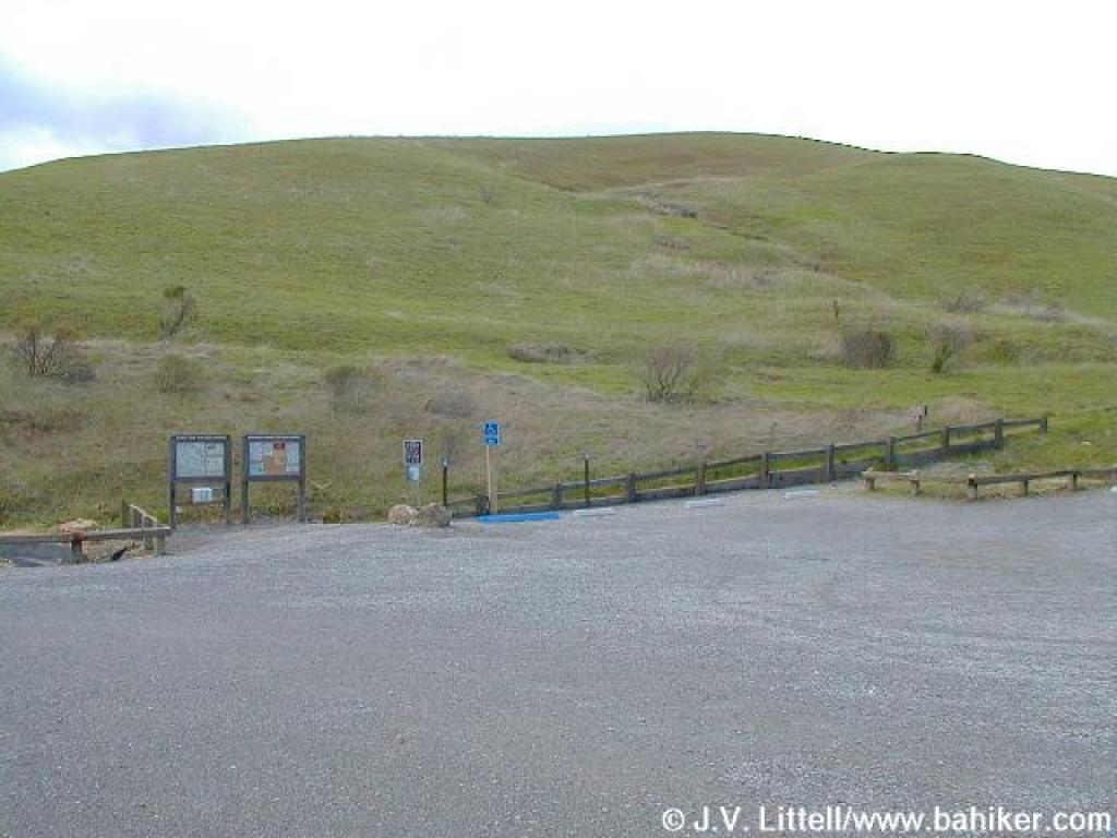 Trailhead |
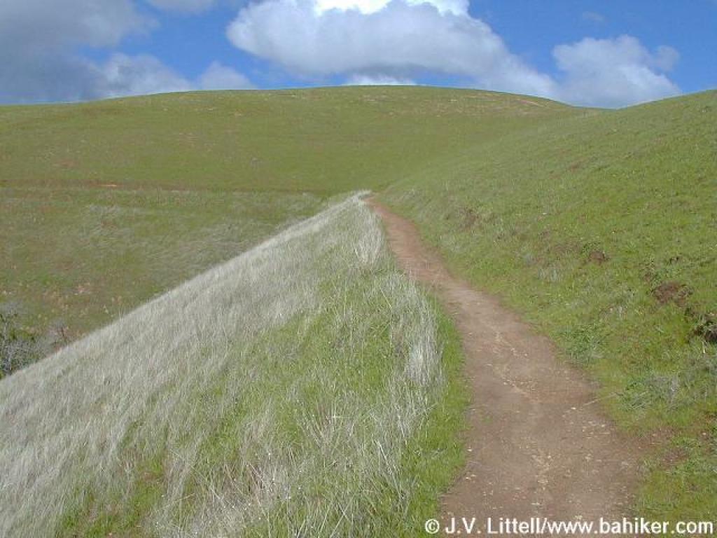
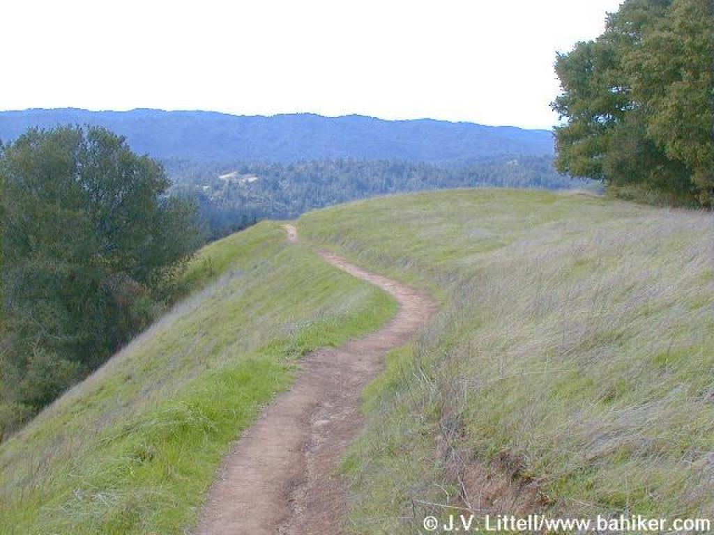
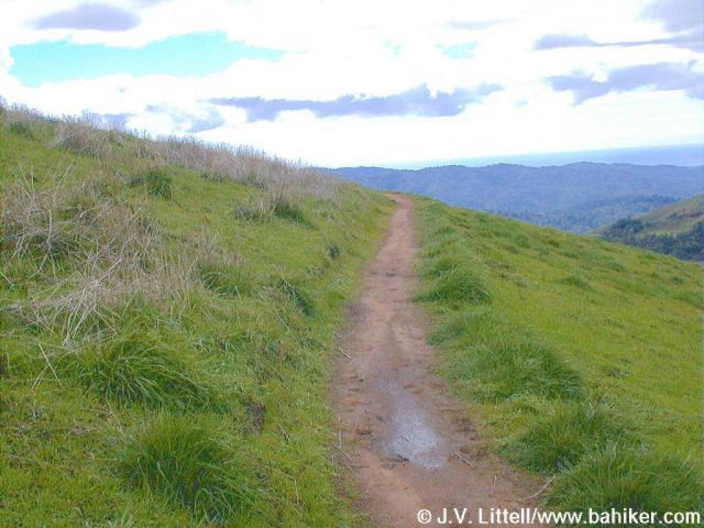
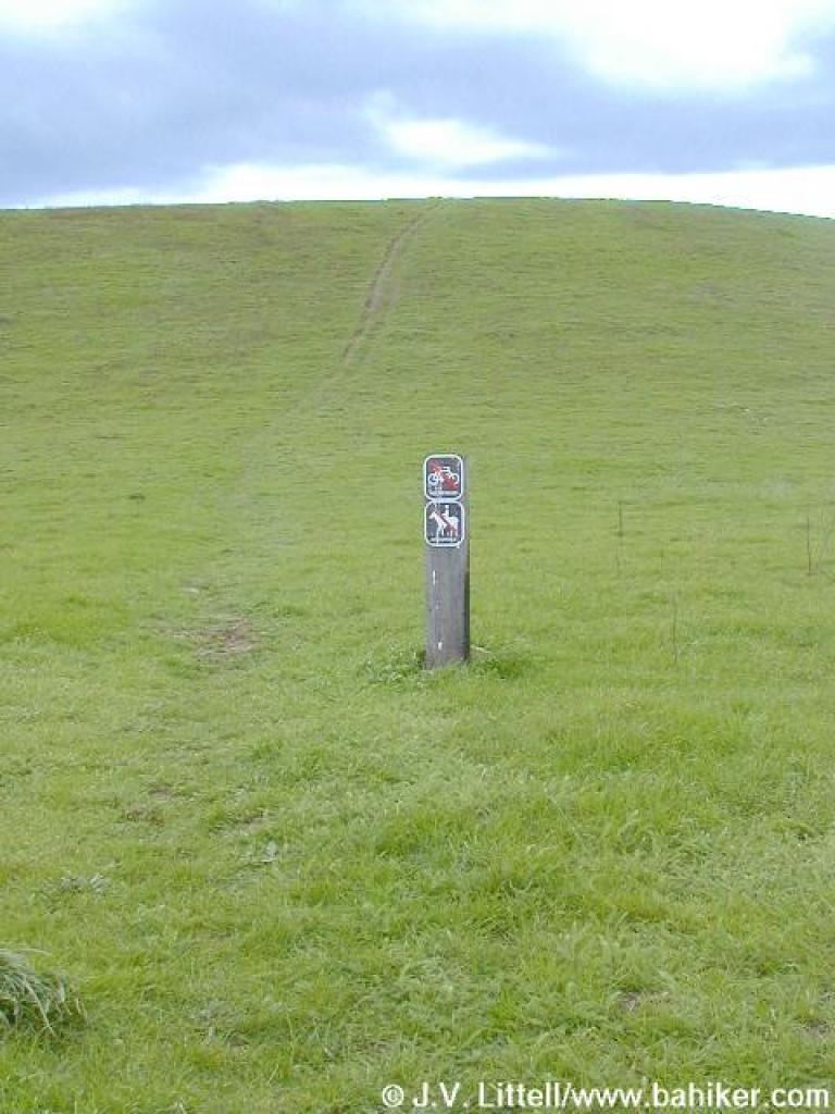
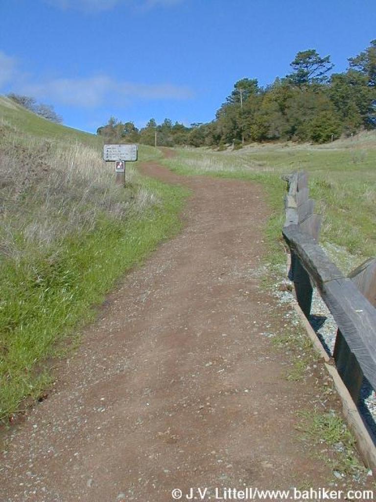 Ridge Trail |
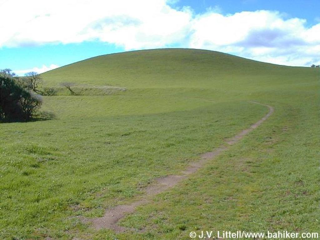
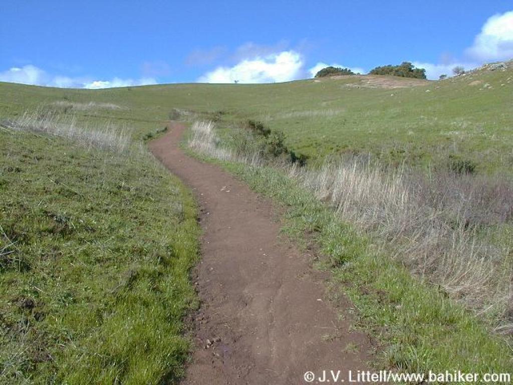 Winding uphill |
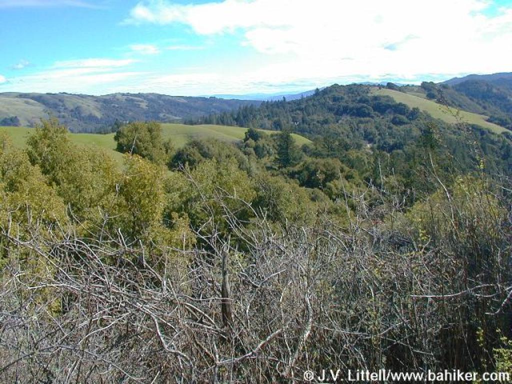
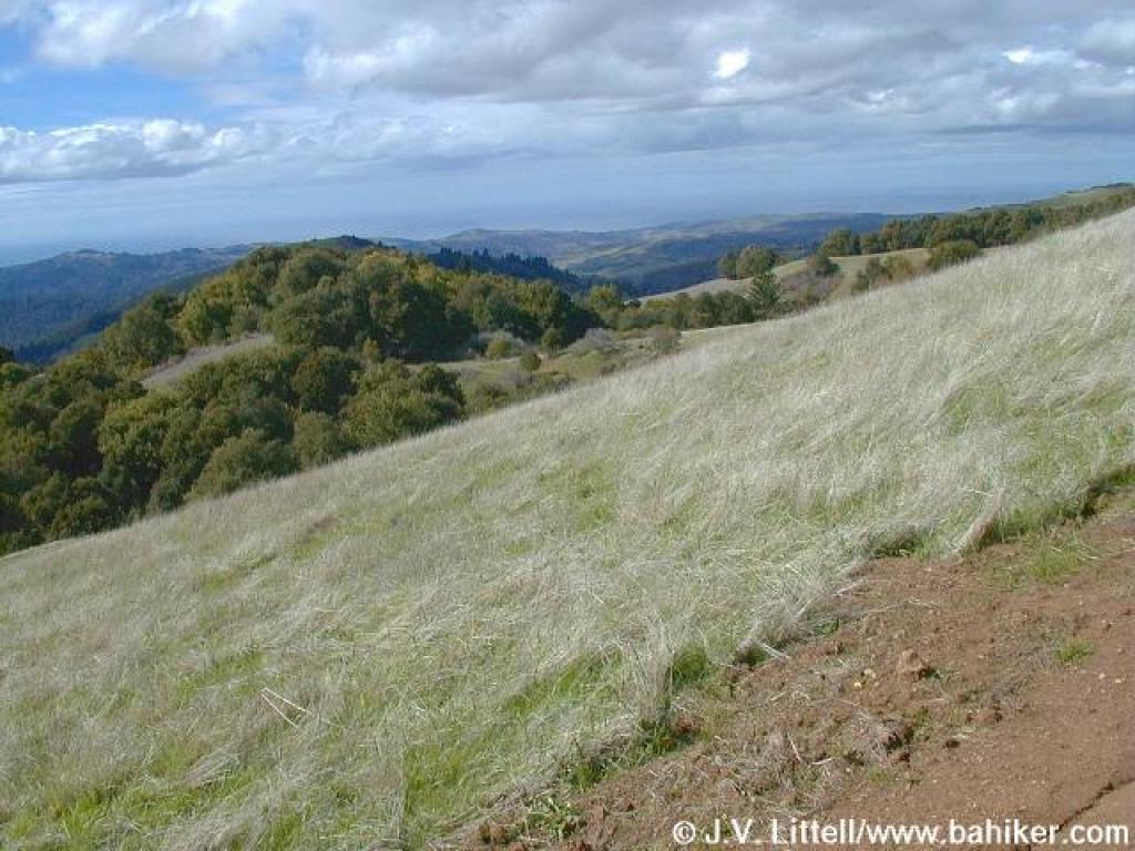
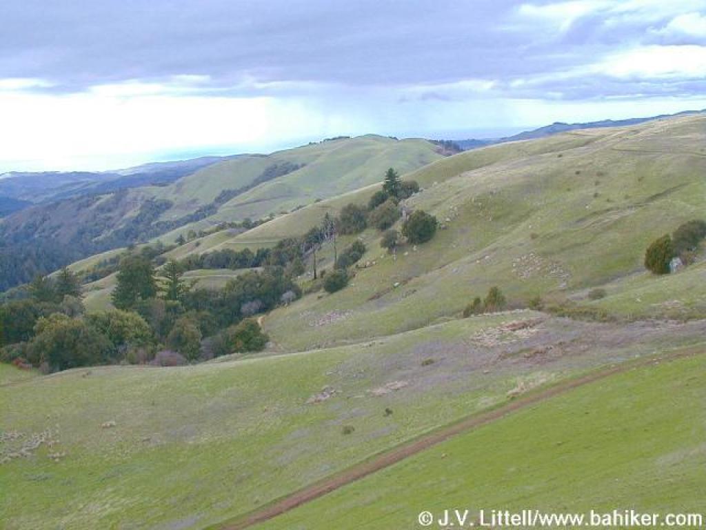
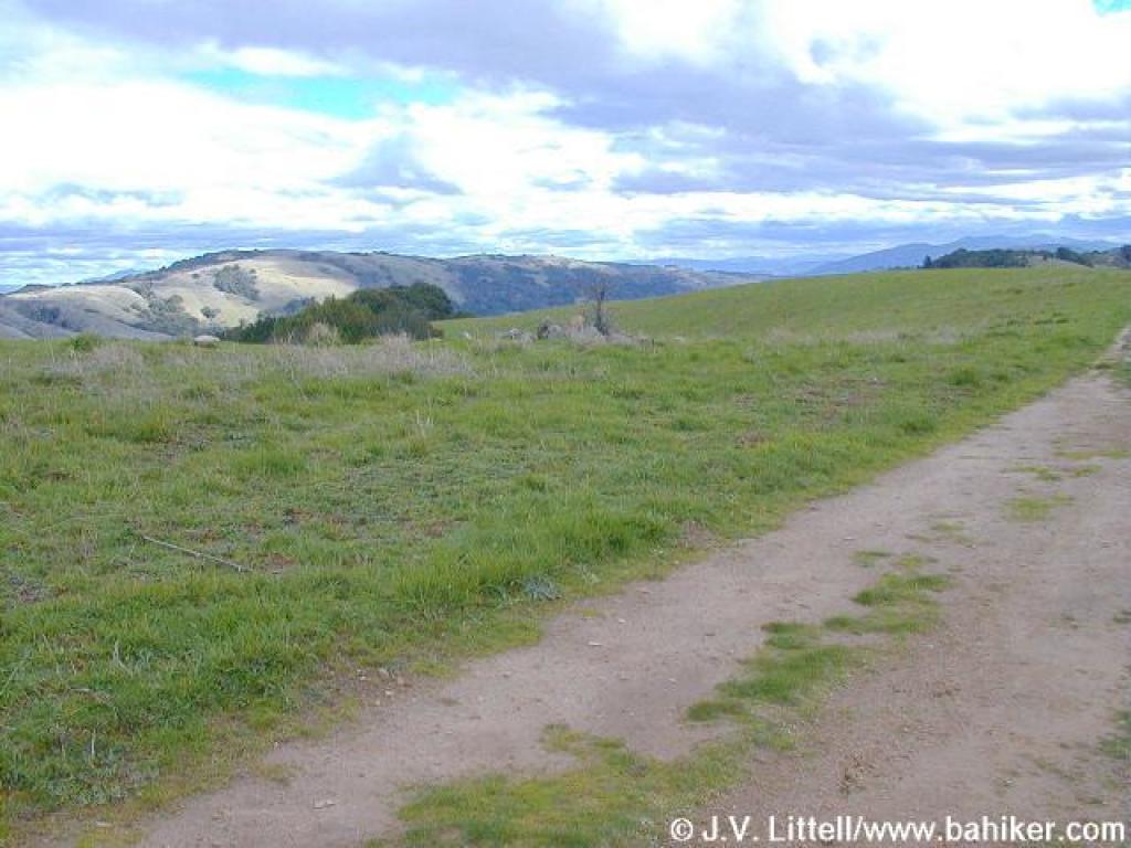
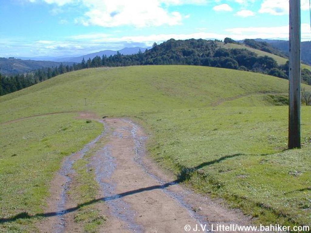 Looking south |
|||||
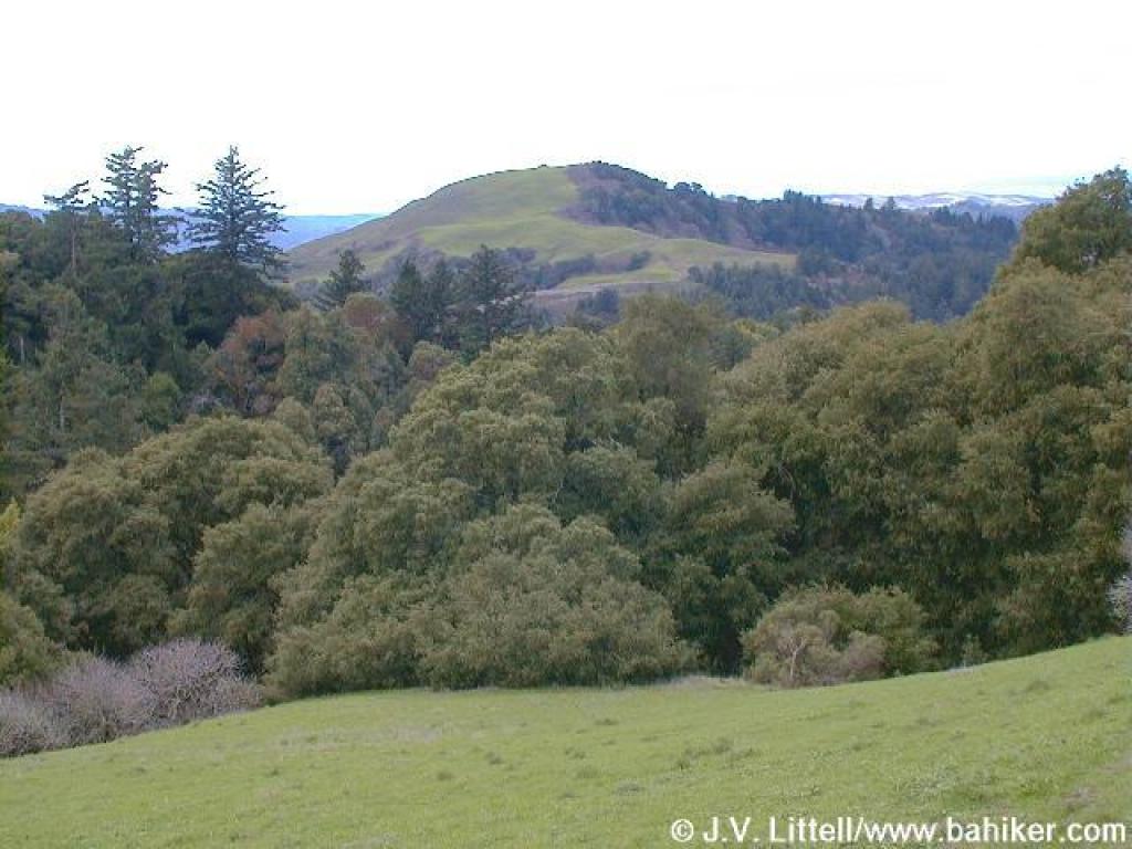
 Beautiful portion of the Bay Area Ridge Trail |
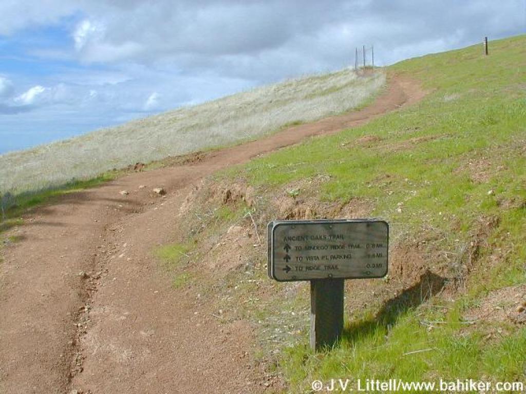
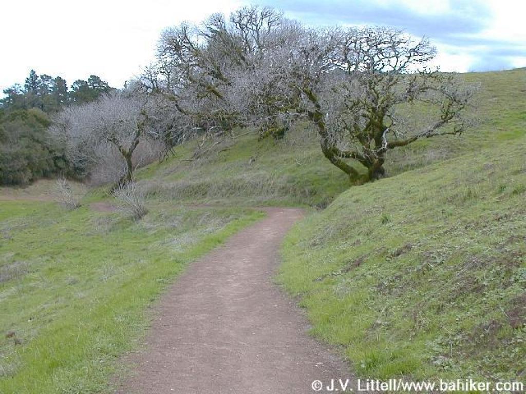
 Trail to Ancient Oaks |
 Skyline Ridge visible on the right side of the photo |
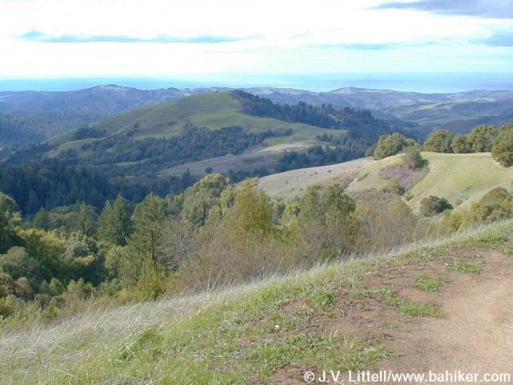
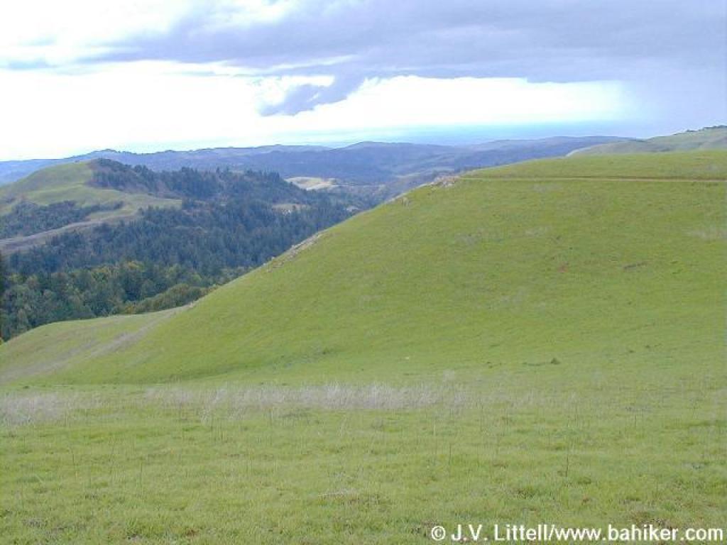
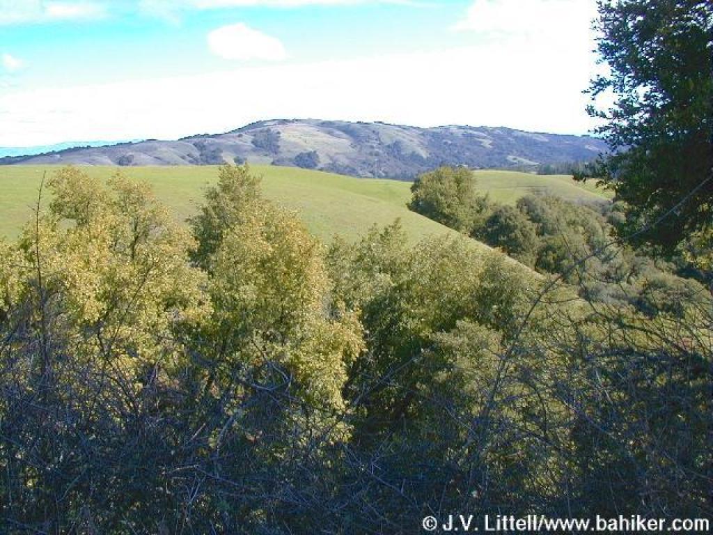 Monte Bello to the east |
|||||
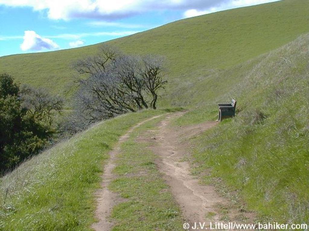 A bench with a view |
 Shaded section |
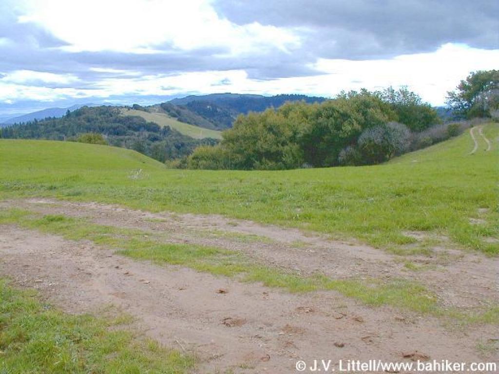
 Approaching junction |
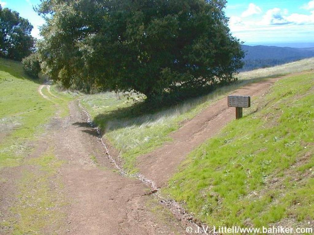
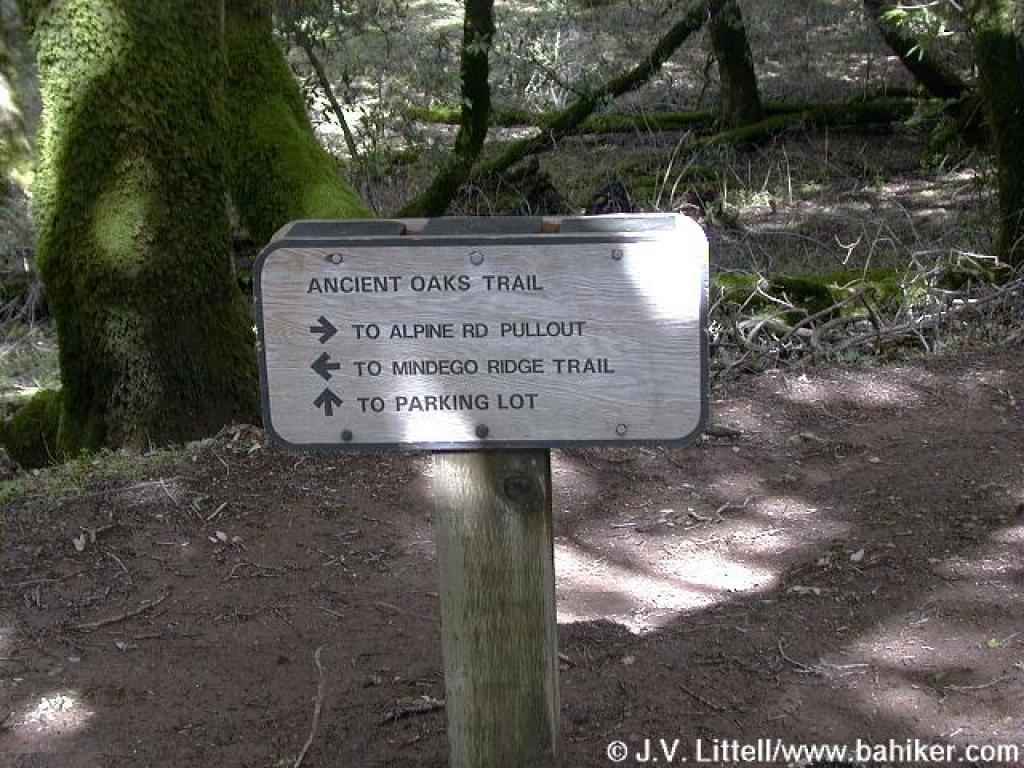
 Junction with Ancient Oaks Trail |
|||||
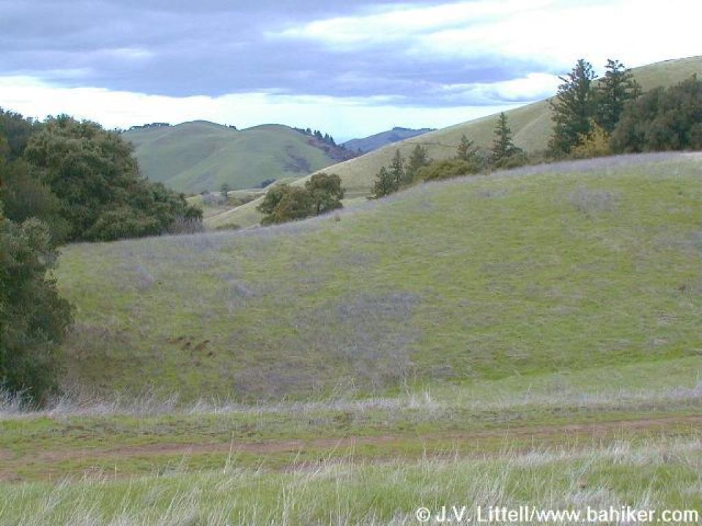
 Right side of the trail was burned |
 West |
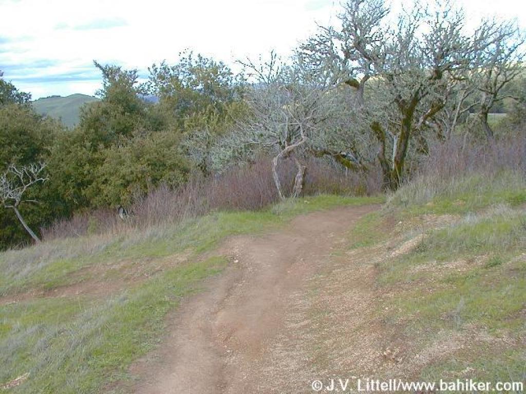
 Ancient Oaks Trail |
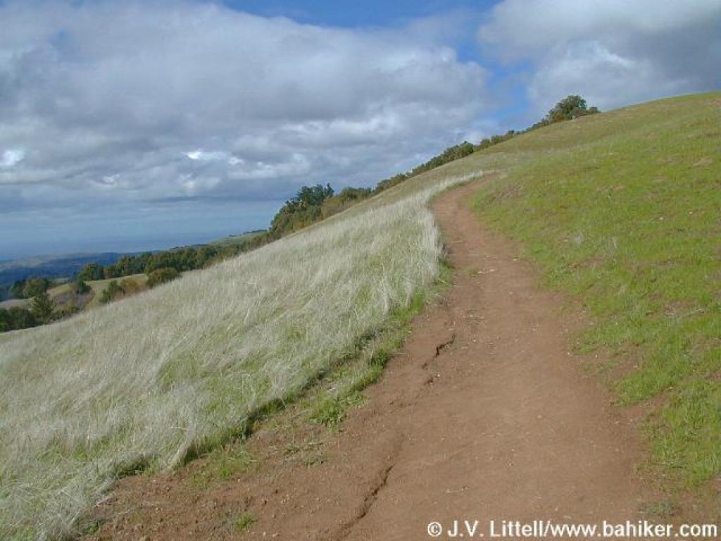
 Rolling hills, with the ocean in the background |
|||||
 Junction |
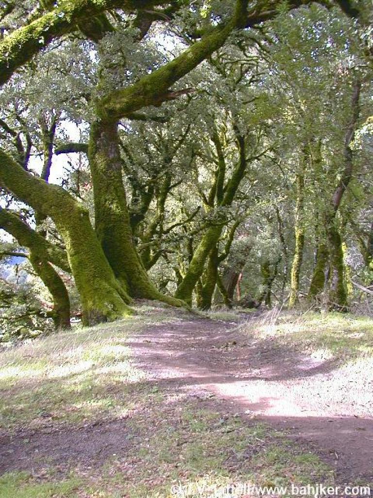 Under the oaks |
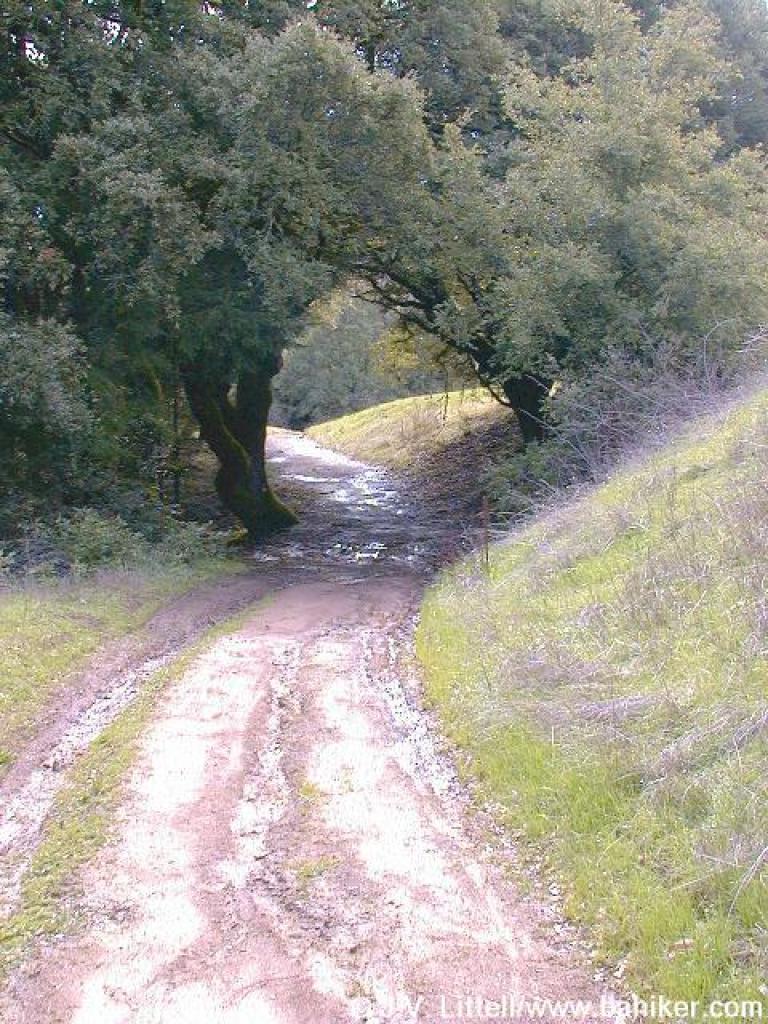
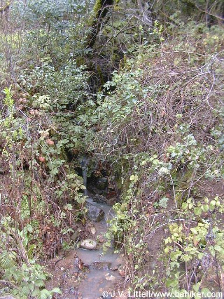
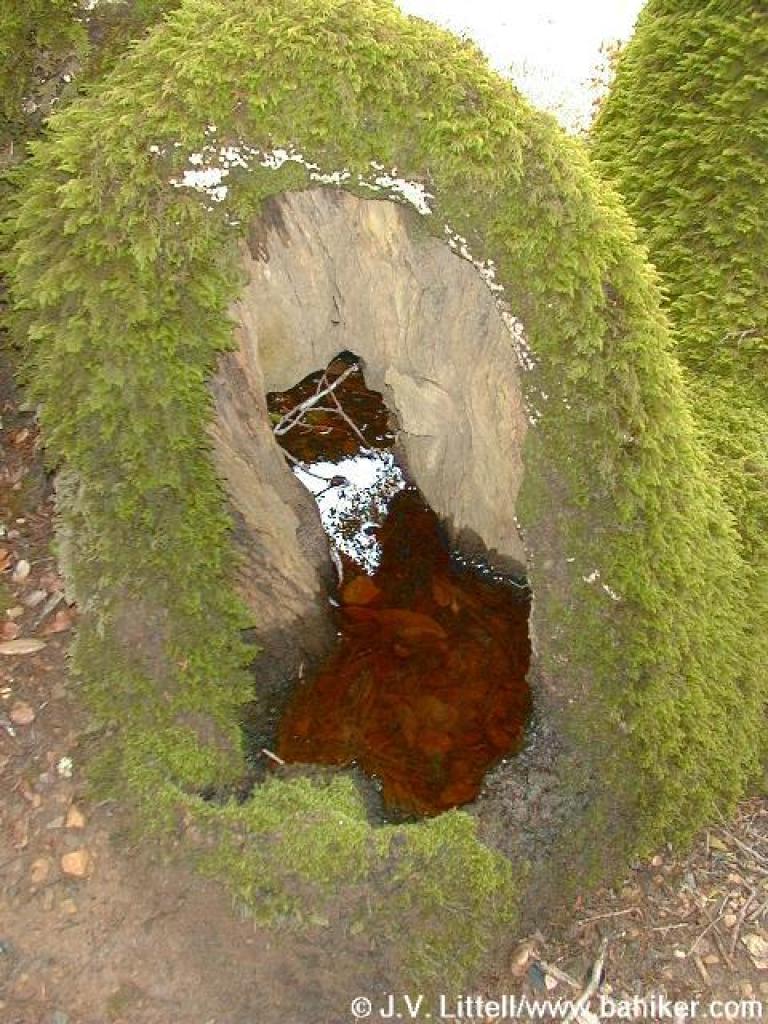 Nature's water basin |
 Looking ahead |
|||||
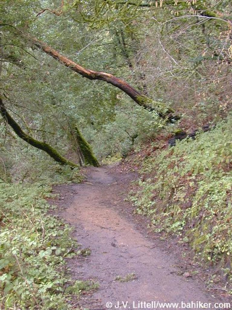
 Trail |
 The edge of the woods |
 Newt |
 Under some trees |
|||||
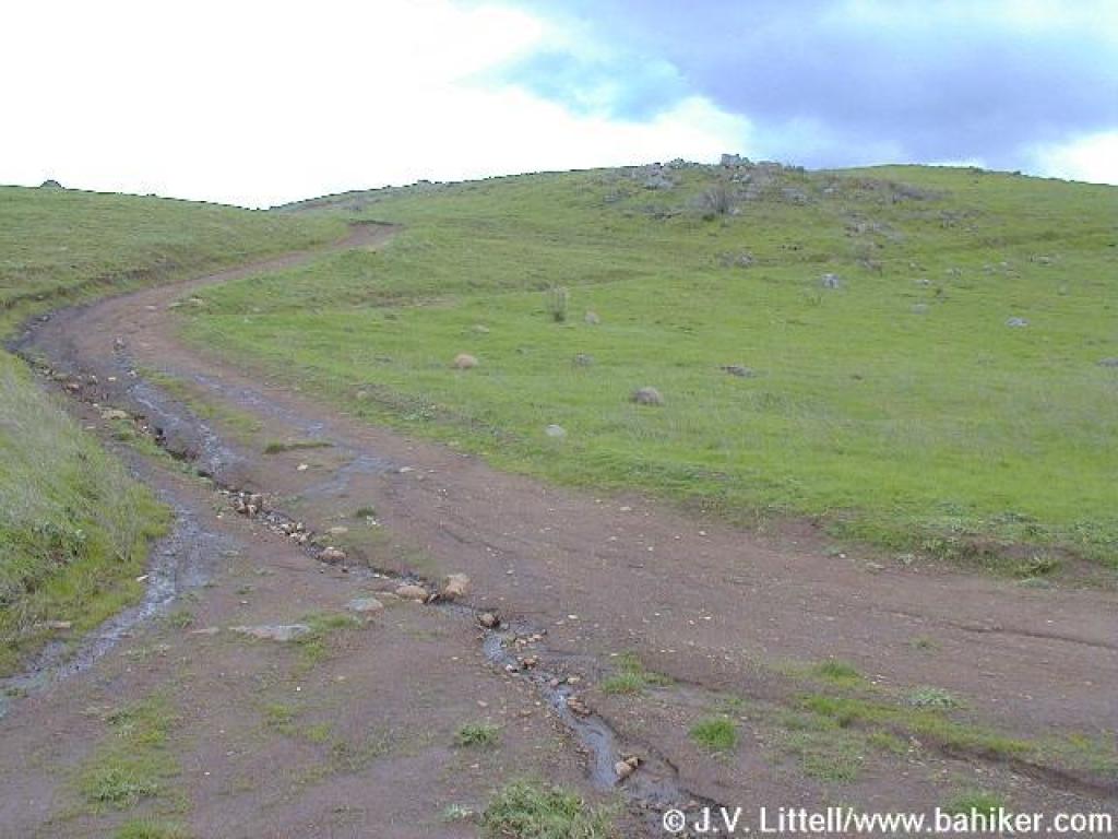
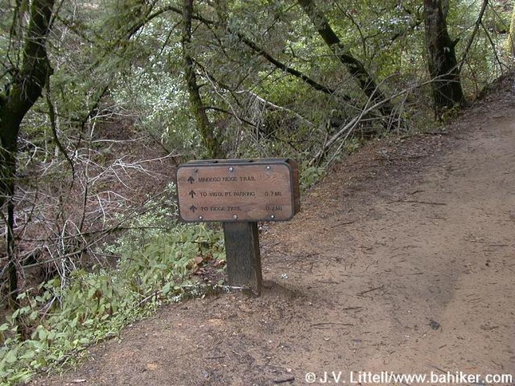 Junction |
 Seasonal waterfall |
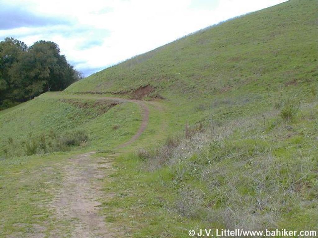 Emerging back into grassland |
 Mindego Hill |
|||||
 Trail uphill |
 Looking north |
 Junction at the crest of the hill |
 Through a rocky section |
|||||
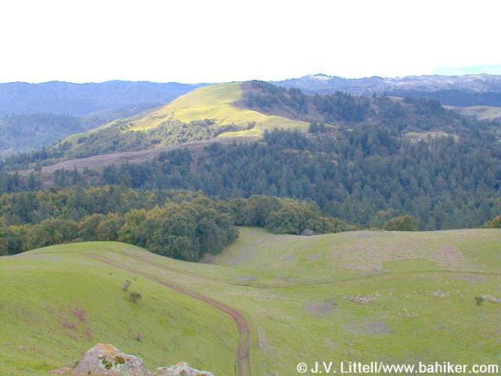 Mindego Hill |
 Looking north |
 Ridge Trail |
 The trail curves around |
|||||
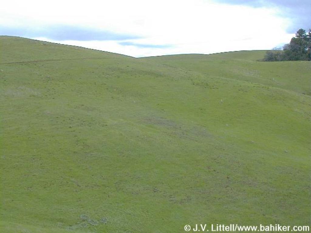 Grassy hillside |
 Looking back |
 Junction |
 Looking to Monte Bello |
|||||
 Unnamed side trail |
 Looking to Skyline Ridge |
 Returning to the trailhead |
Go to Bay Area Hiker Russian Ridge page Go to Bay Area Hiker Home Page |
|||||