| Photos
from Saddle Loop, San Bruno County Park (click on an image for a larger view) |
|||||||
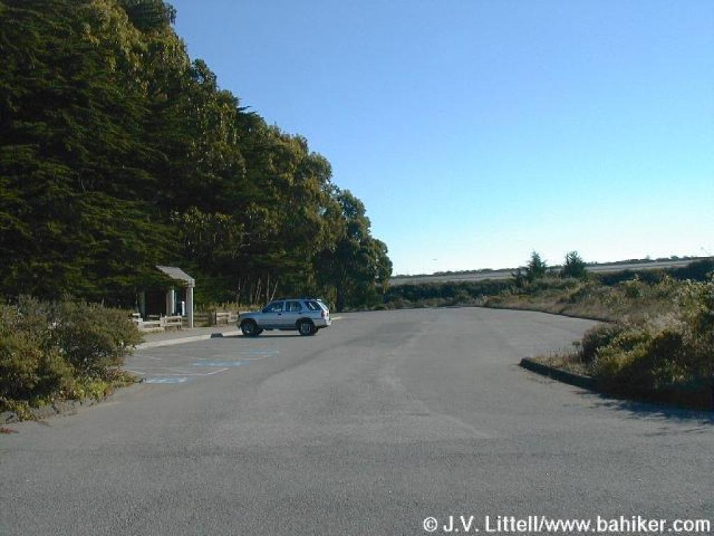 Trailhead |
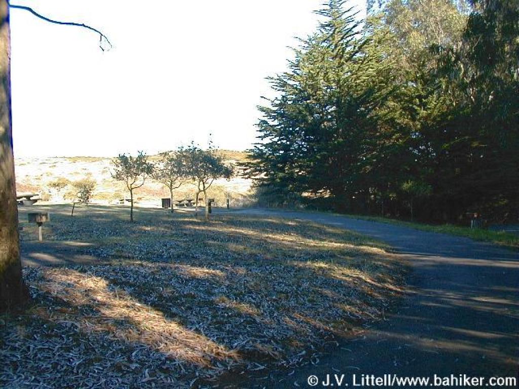
 Picnic area is a sunny grassy spot just north of the start of Saddle Trail |
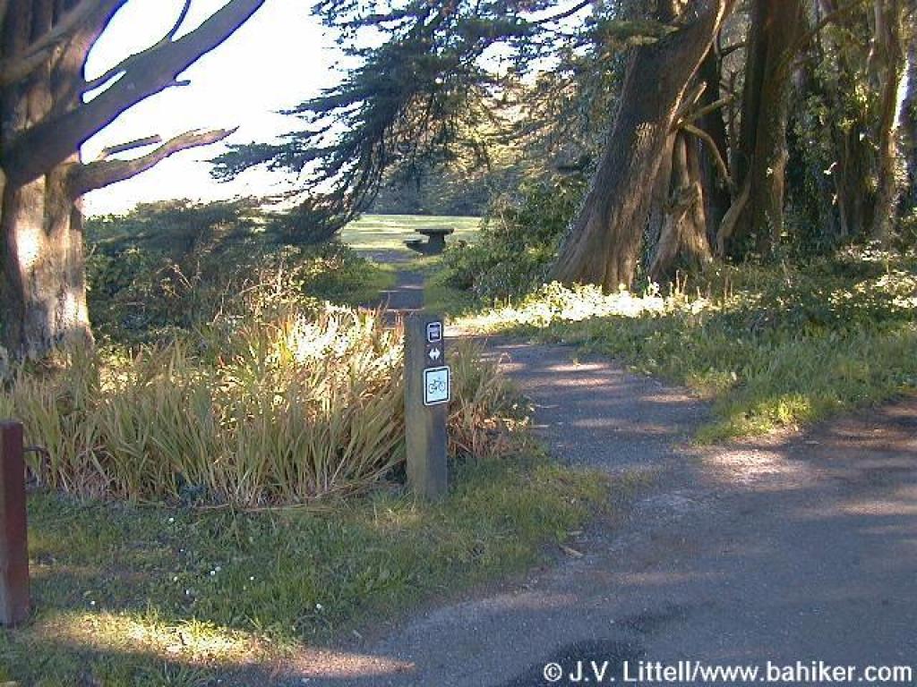
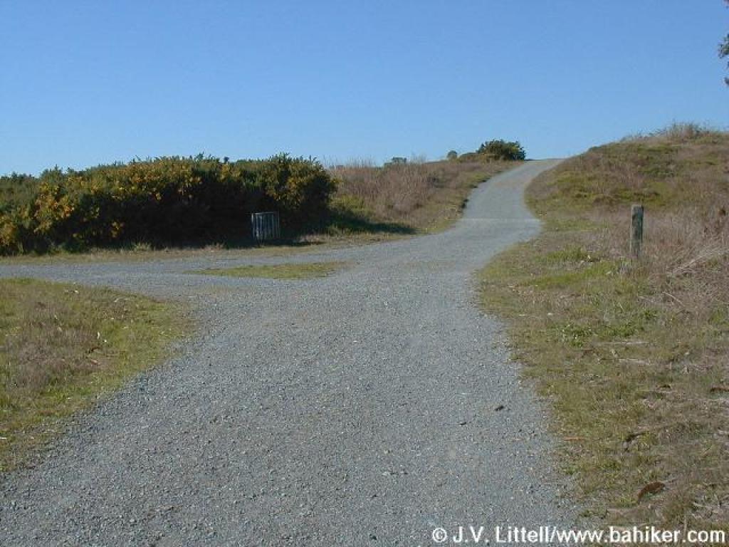
 Junction; stay left |
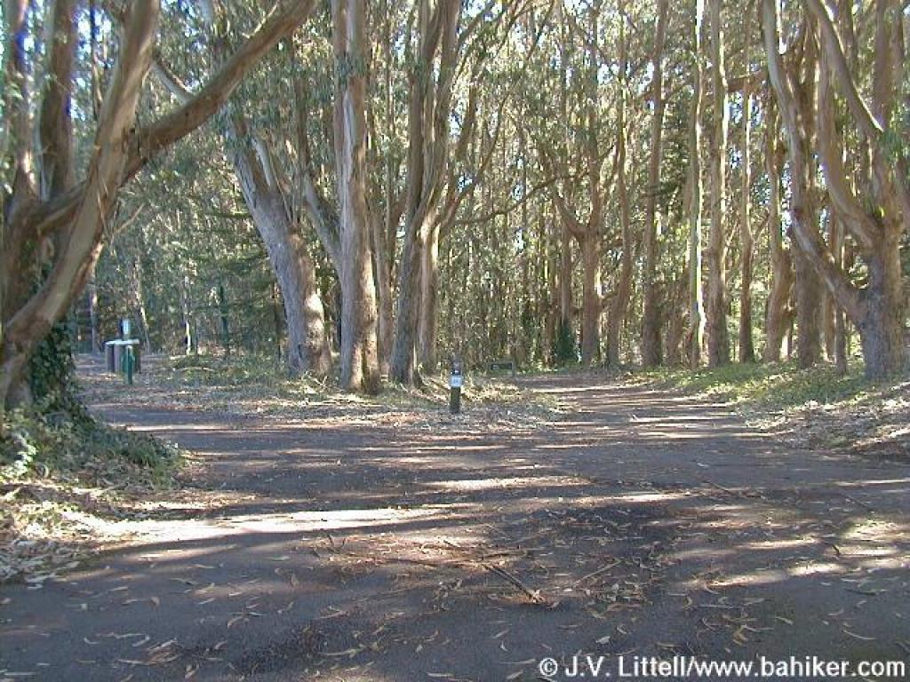
 Skirting the picnic area |
||||
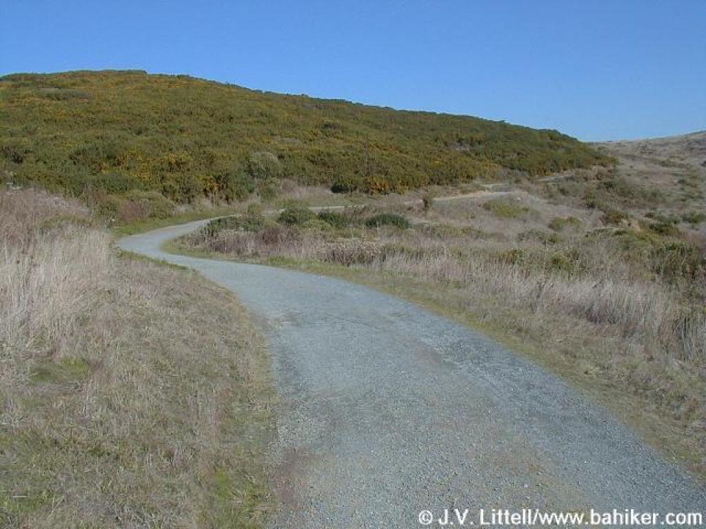 Ascending |
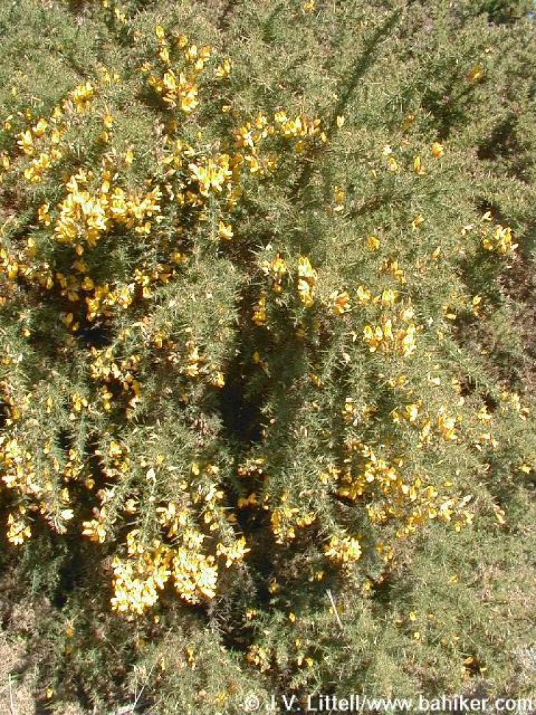 Gorse |
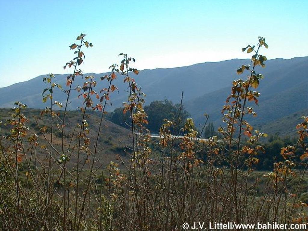 Poison oak, with the south section of San Bruno Mountain Park in the background |
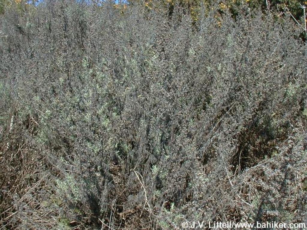 Sagebrush |
||||
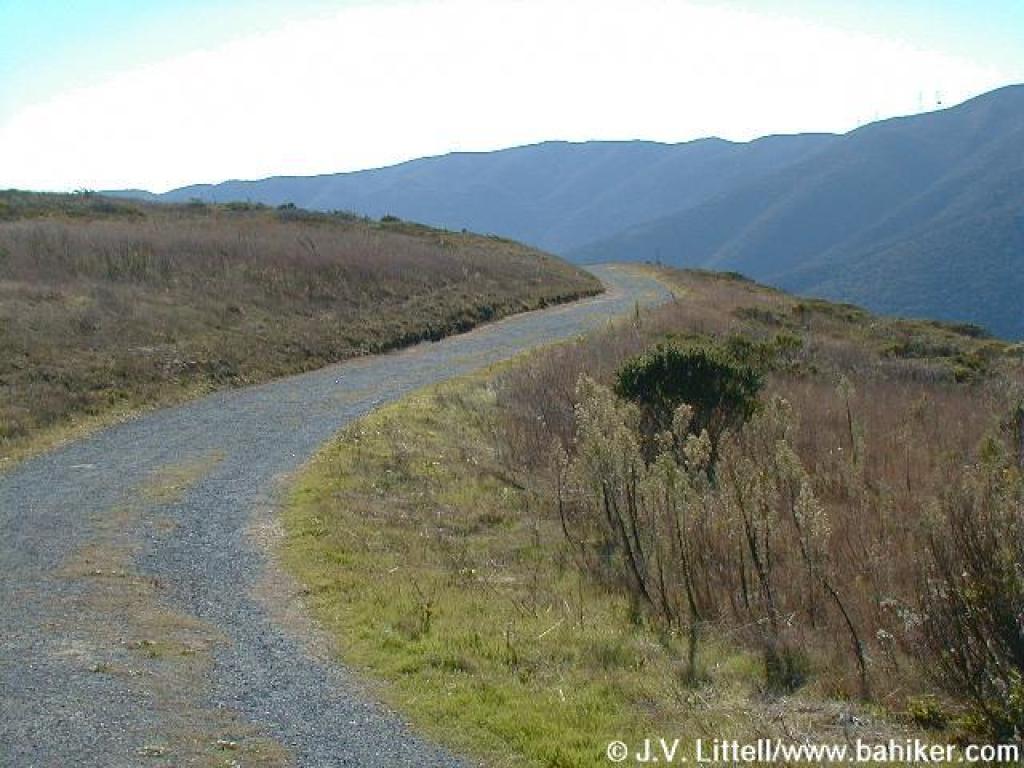 Saddle Loop Trail |
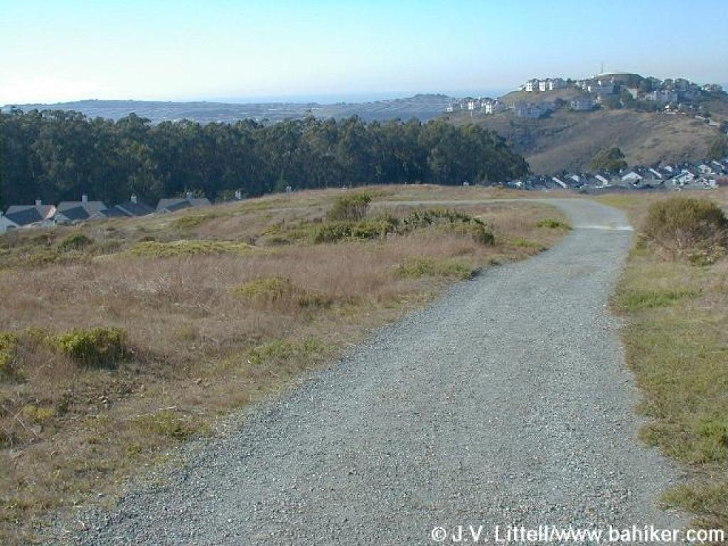
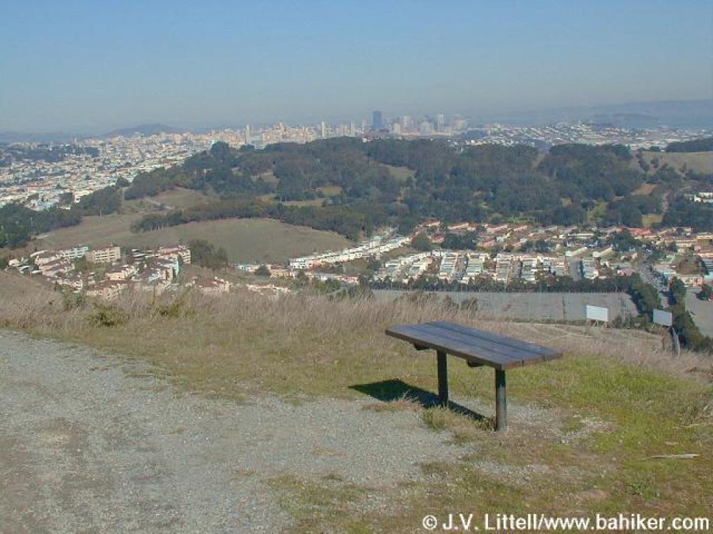 View north to San Francisco and beyond |
 Heading west |
 A short descent with Mount Tam visible to the north |
||||
 Junction; you can cut your hike short by turning left |
 Curving around houses at the west border |
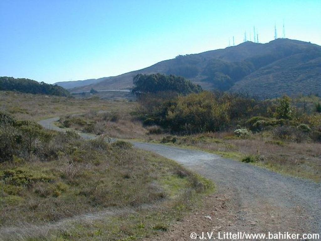 Summit visible |
 Junction; turn left |
||||
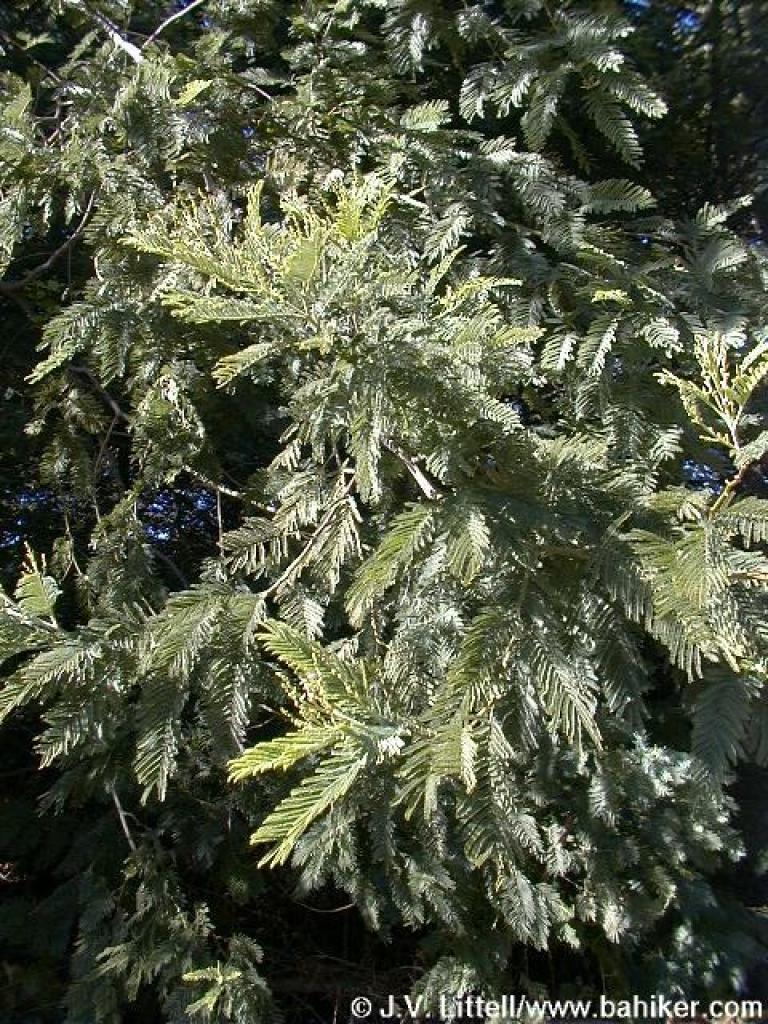
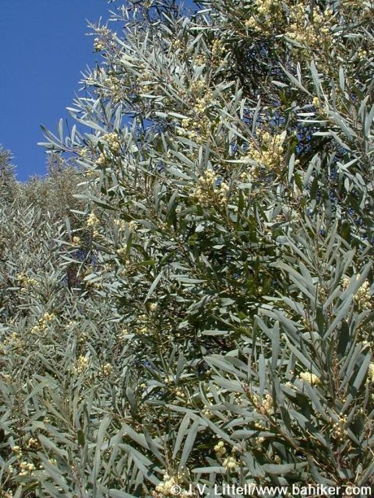 Don't know this tree |
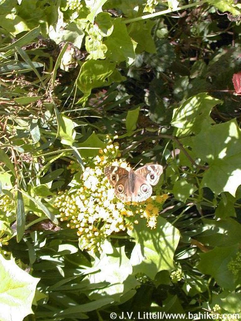 Buckeye butterfly |
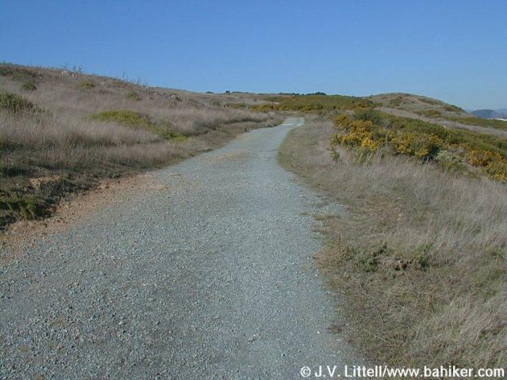
 Old Guadalupe Trail |
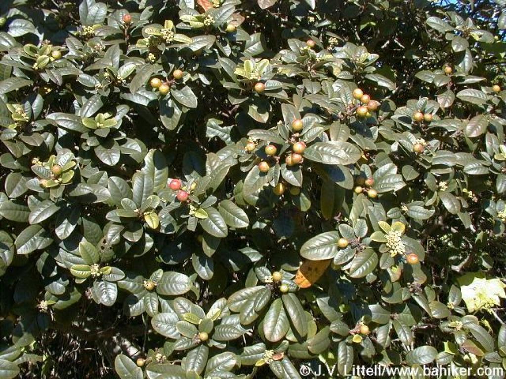 California coffeeberry |
||||
 Acacia |
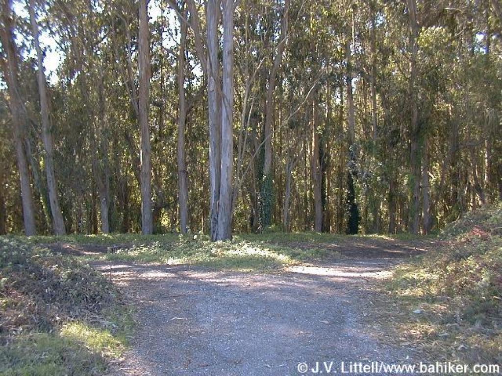
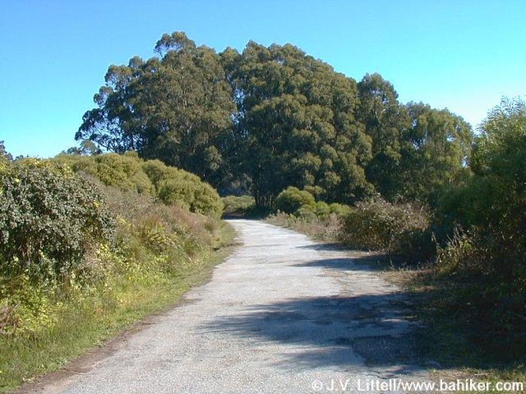
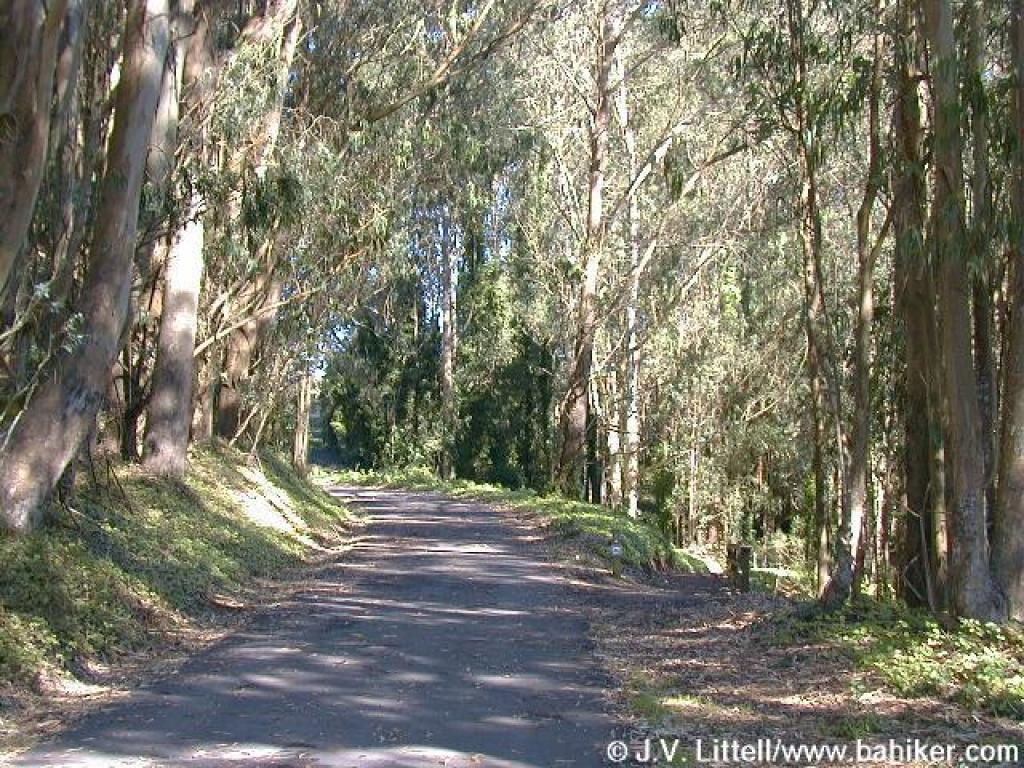 Under eucalyptus |
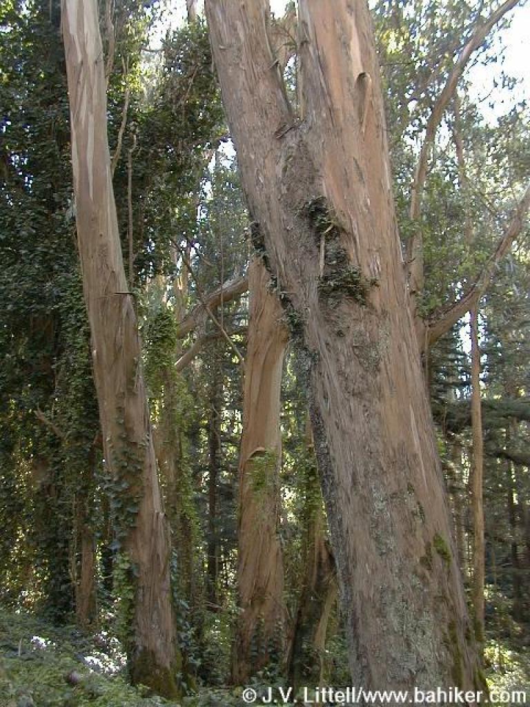 Eucalyptus |
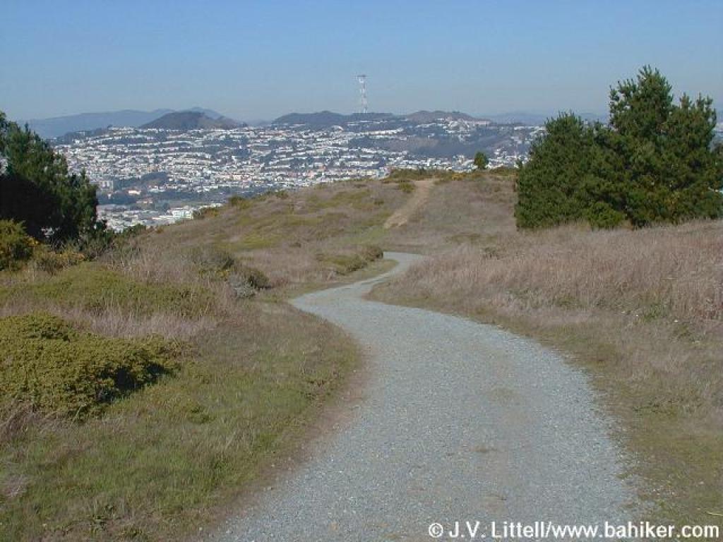
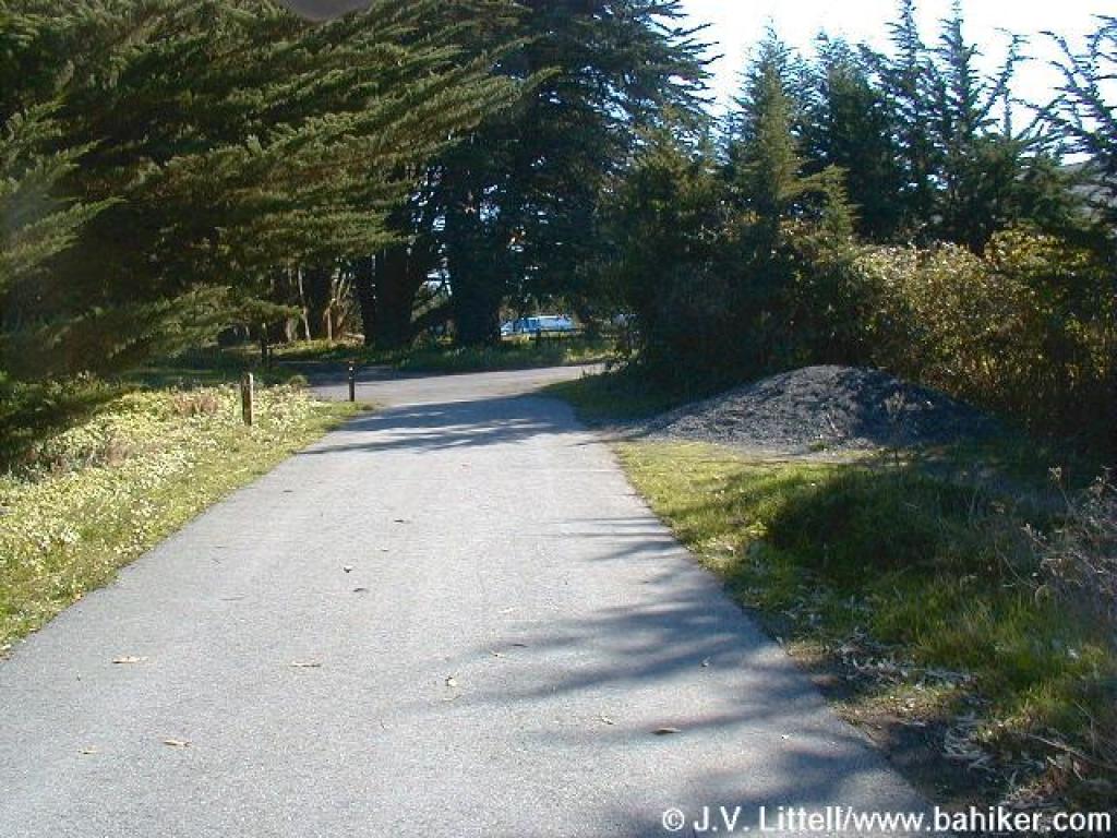 Back to the starting point |
||||
Go to Bay Area Hiker San Bruno/Saddle Loop page Go to Bay Area Hiker San Bruno page Go to Bay Area Hiker Home page |
|||||||