| Photos
from a July 2000 hike at Santa Teresa County Park (click on an image for a larger view) |
|||||||
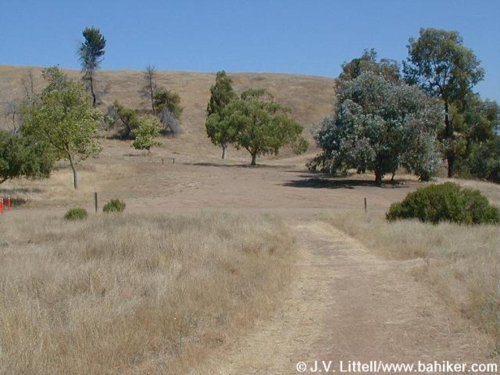
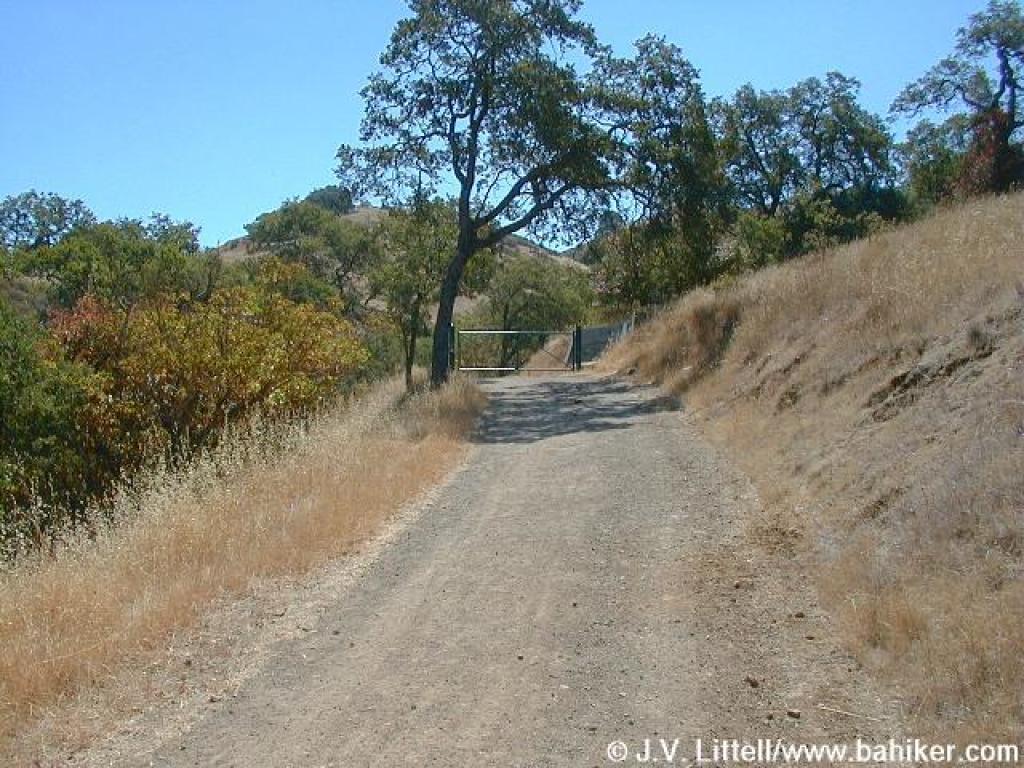
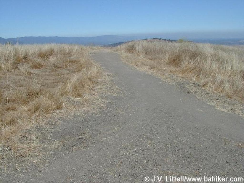
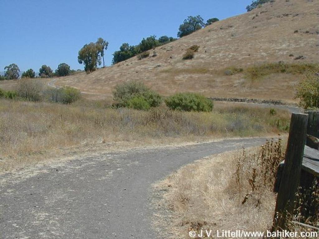
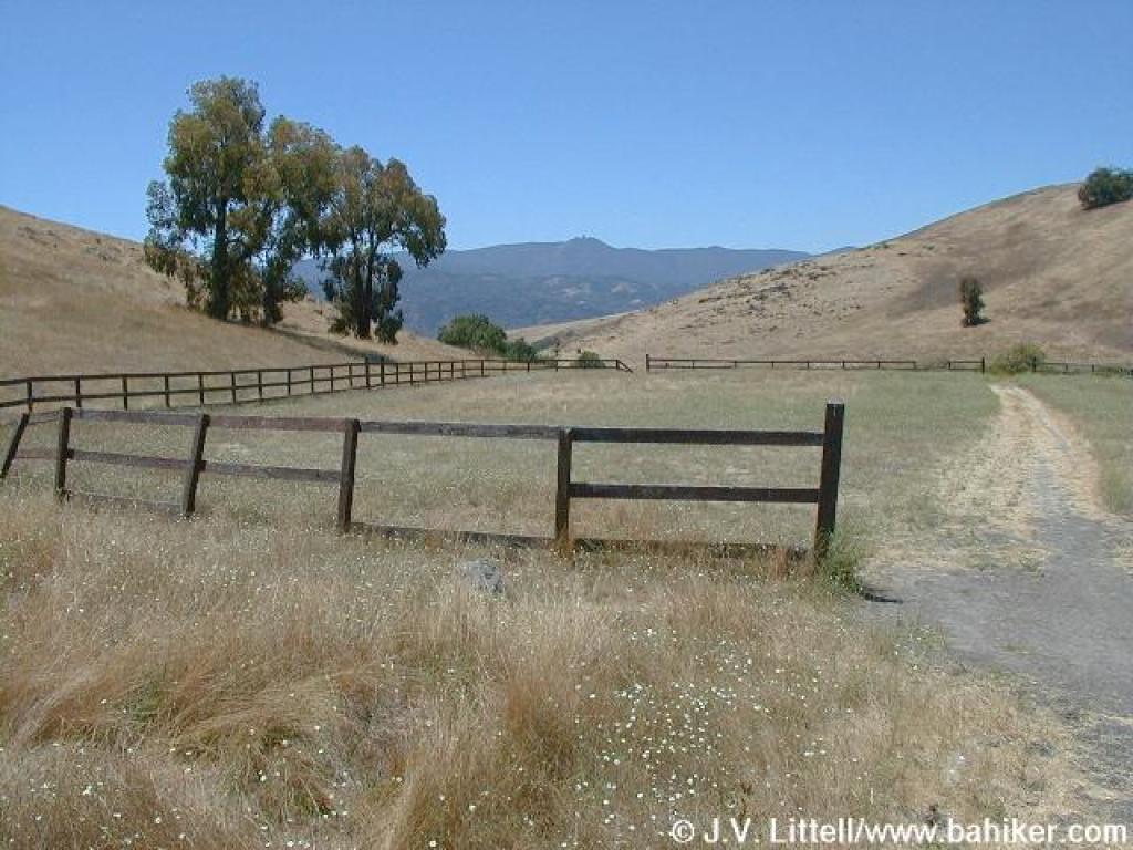
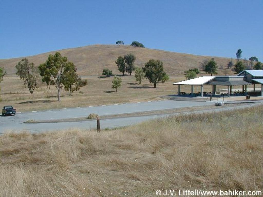 Trailhead |
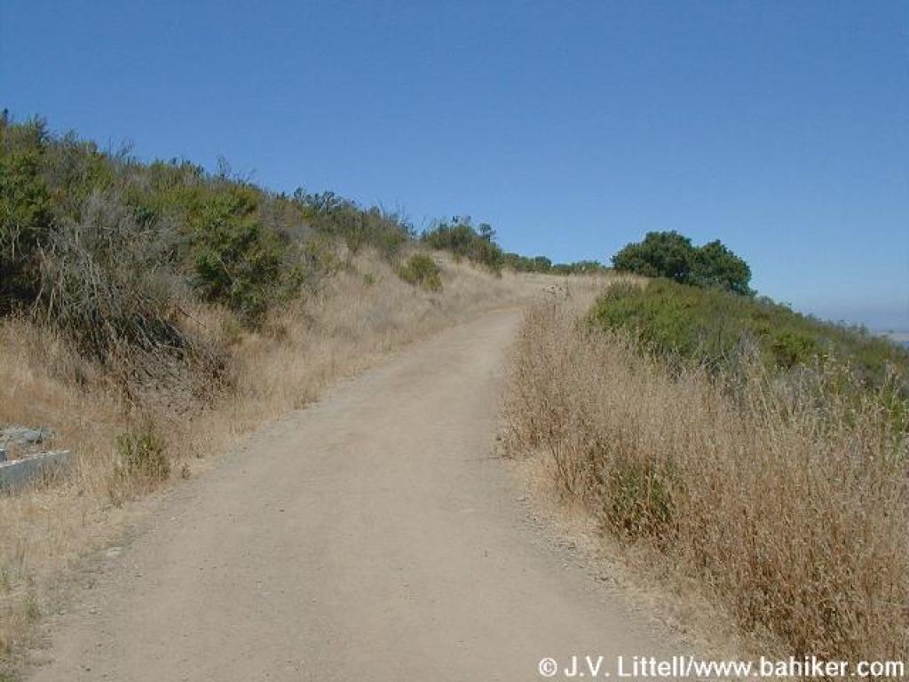
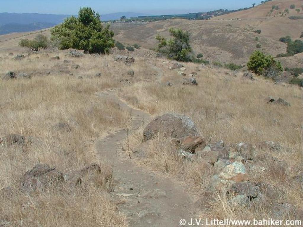
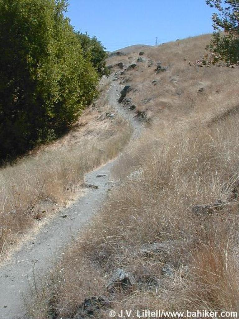
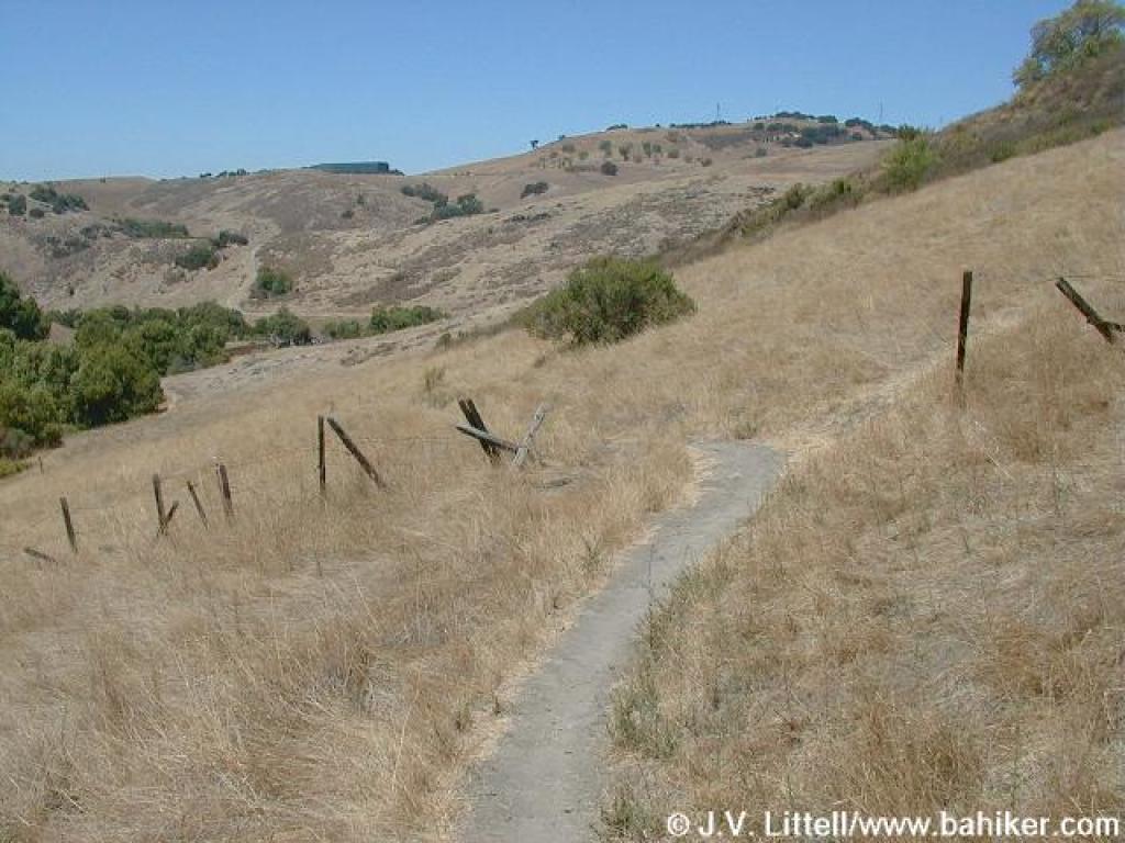
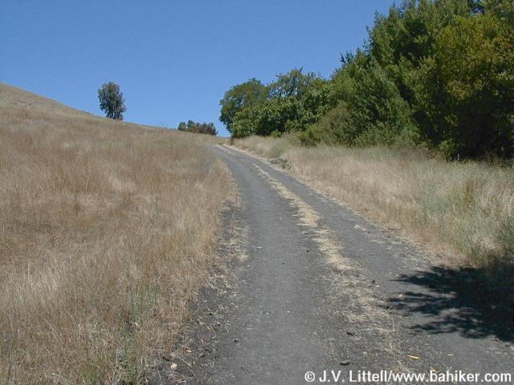
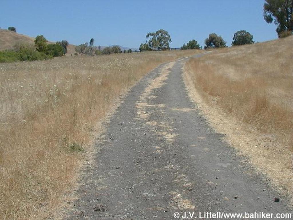
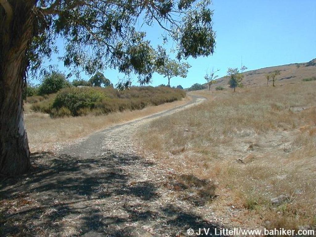 Mines Trail |
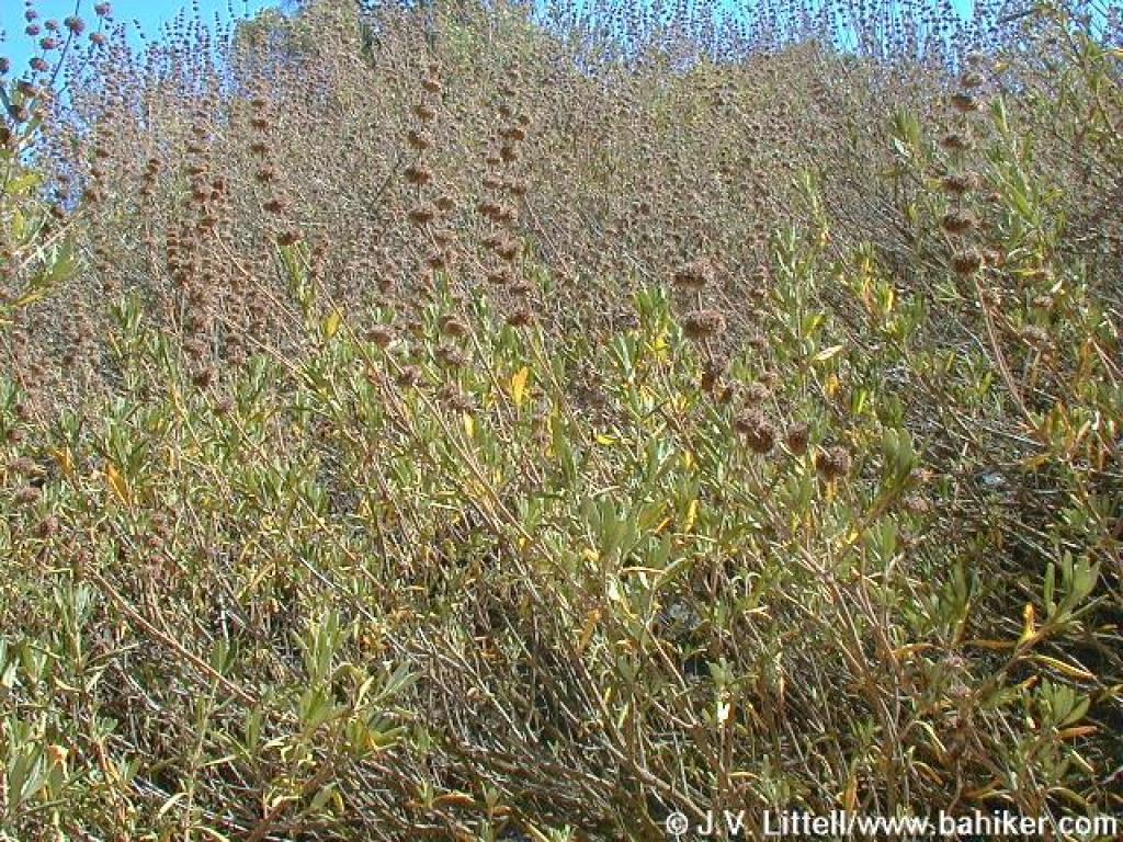
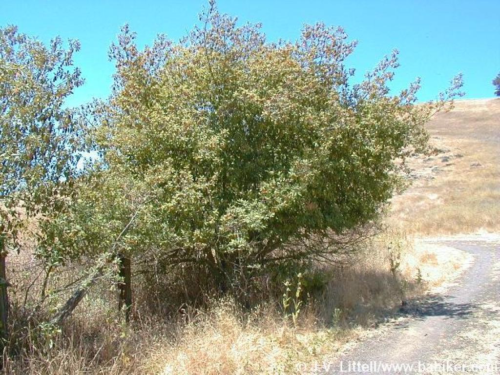
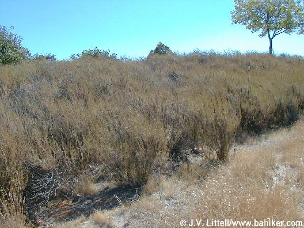 Chamise |
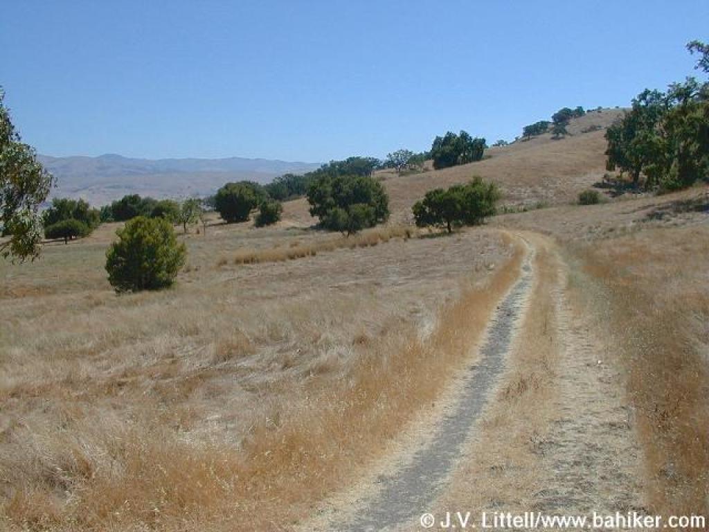 Mines Trail |
||||
 Approaching junction with Hidden Springs Trail |
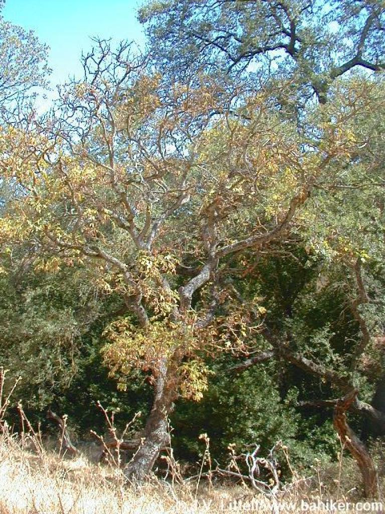
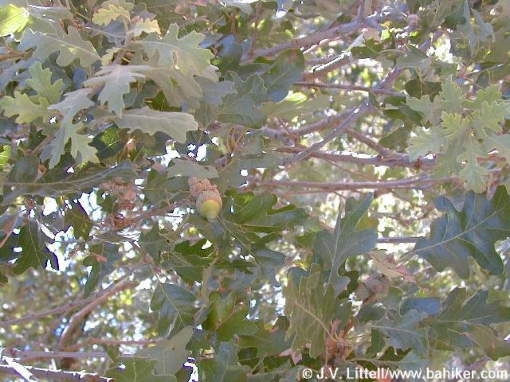 Oak |
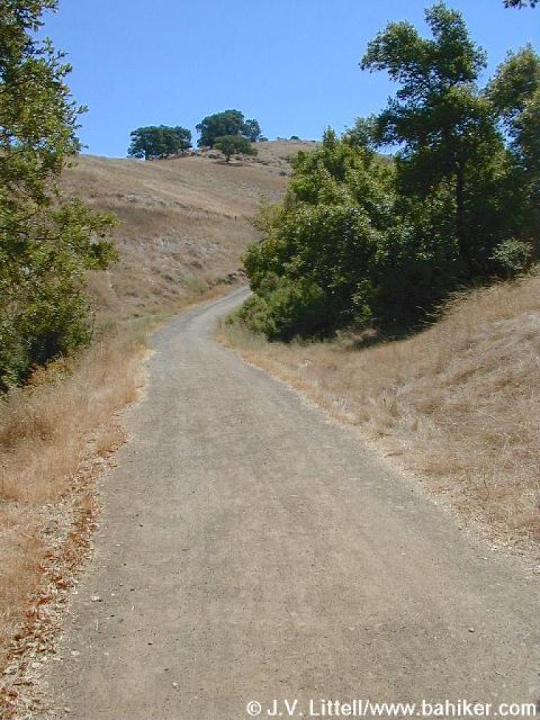
 Hidden Springs Trail |
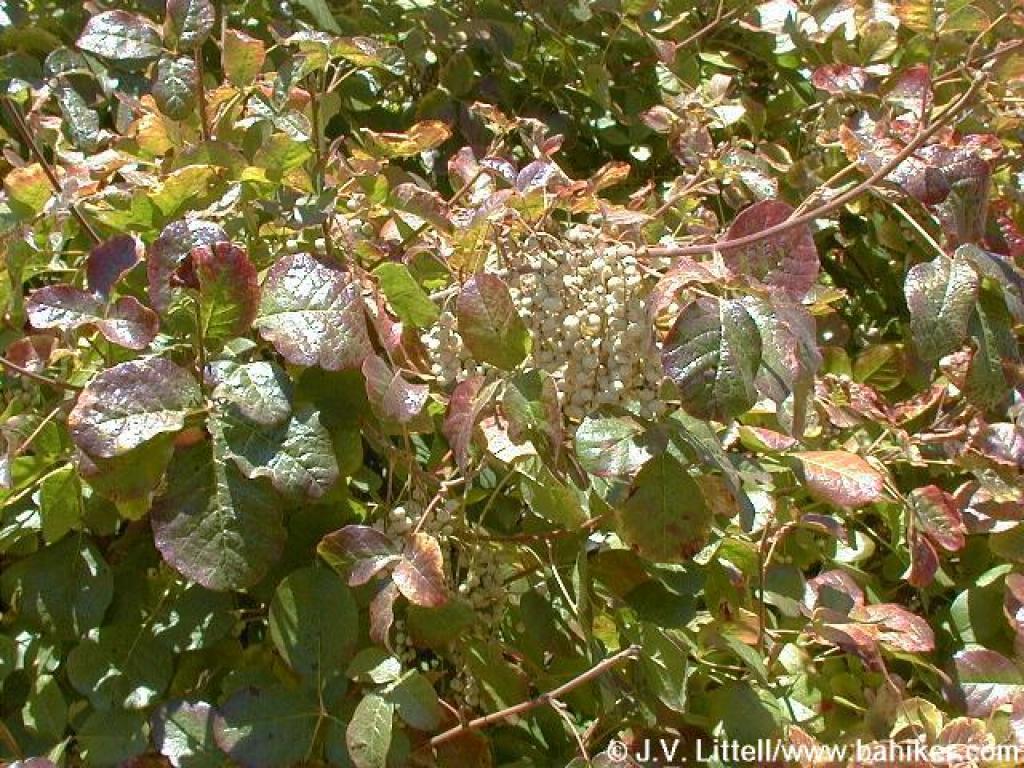
 Poison oak |
||||
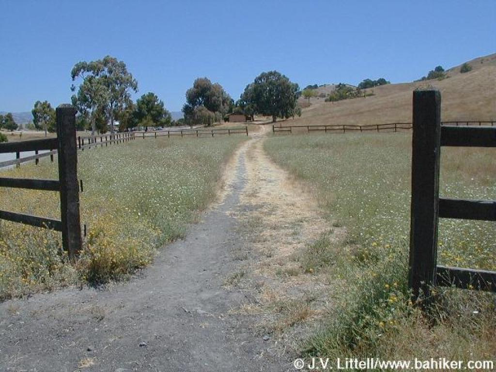
 Gate |
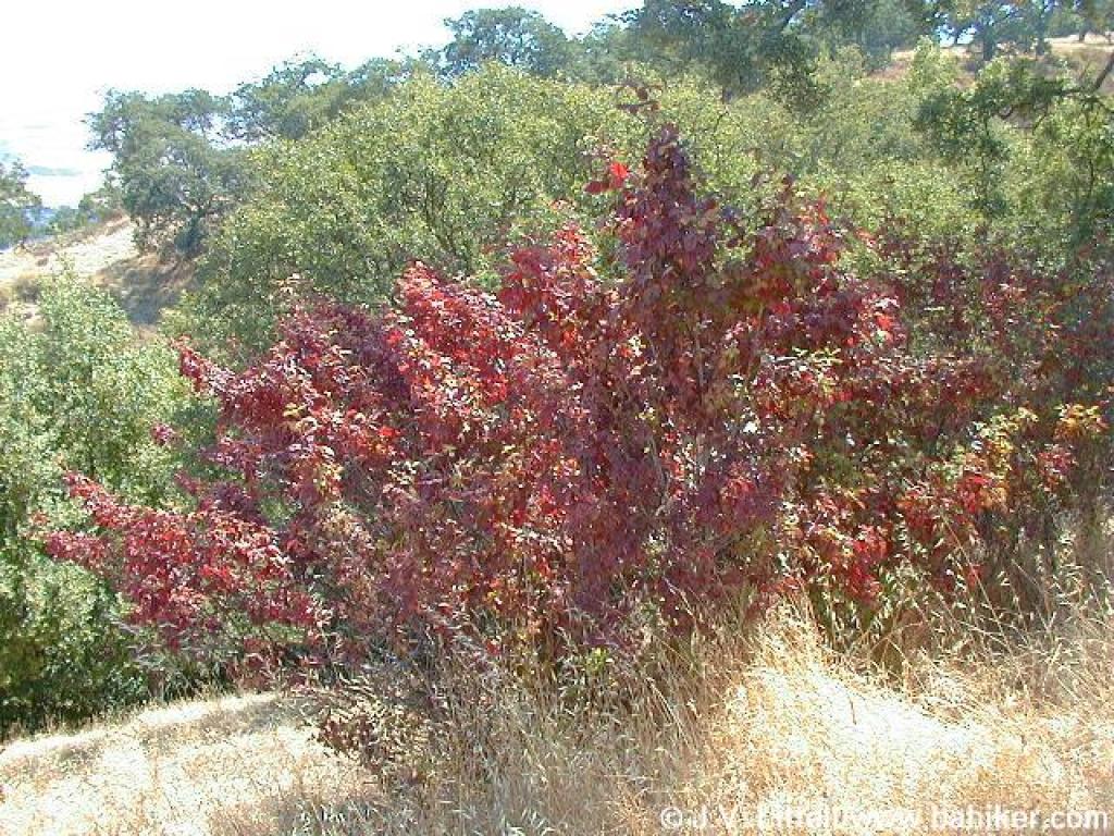
 Buckeye |
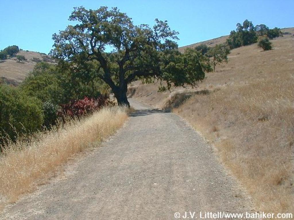
 Climbing |
 Near junction with Ridge Trail |
||||
 Black sage |
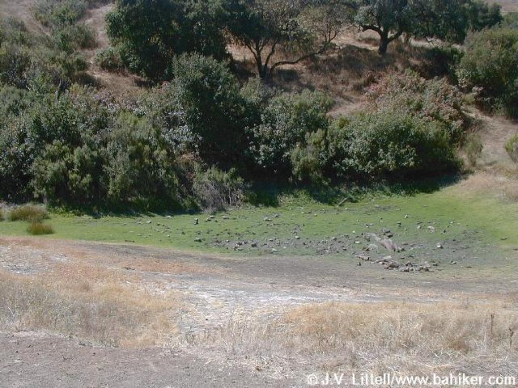 Dry pond |
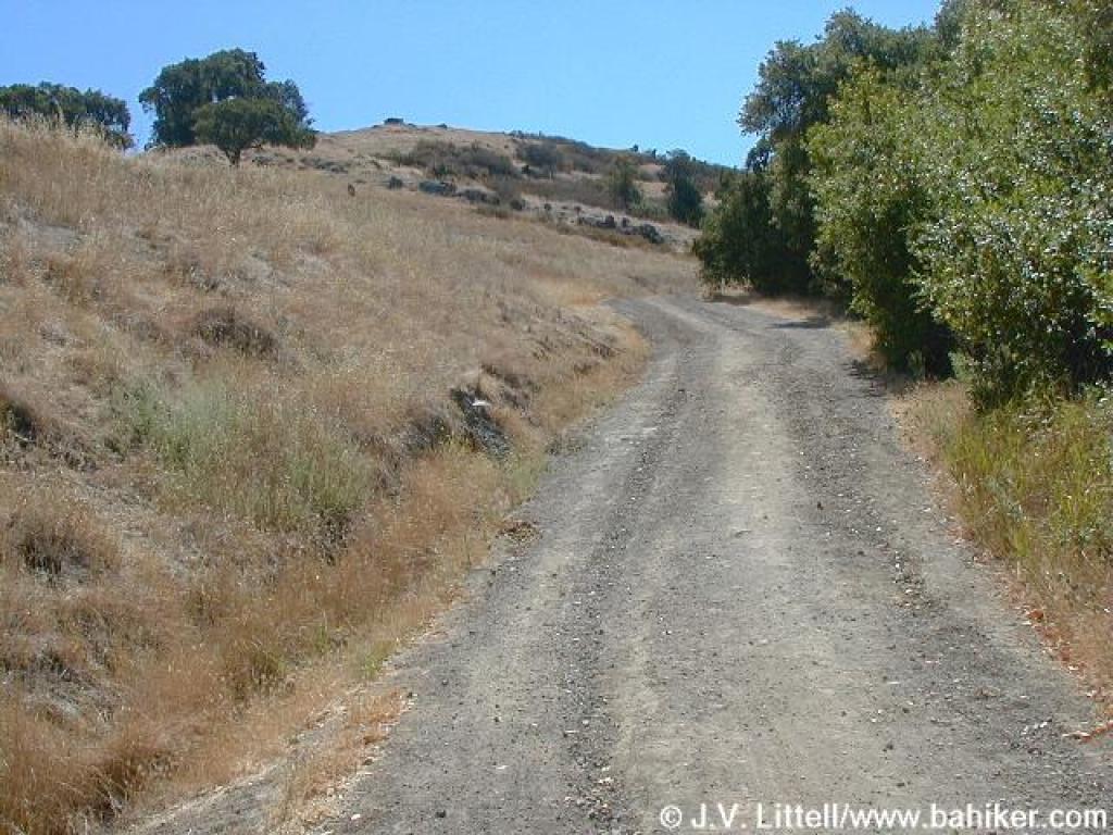
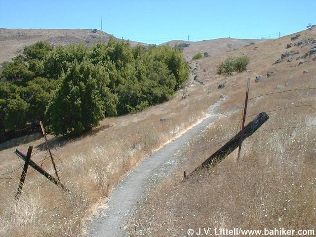
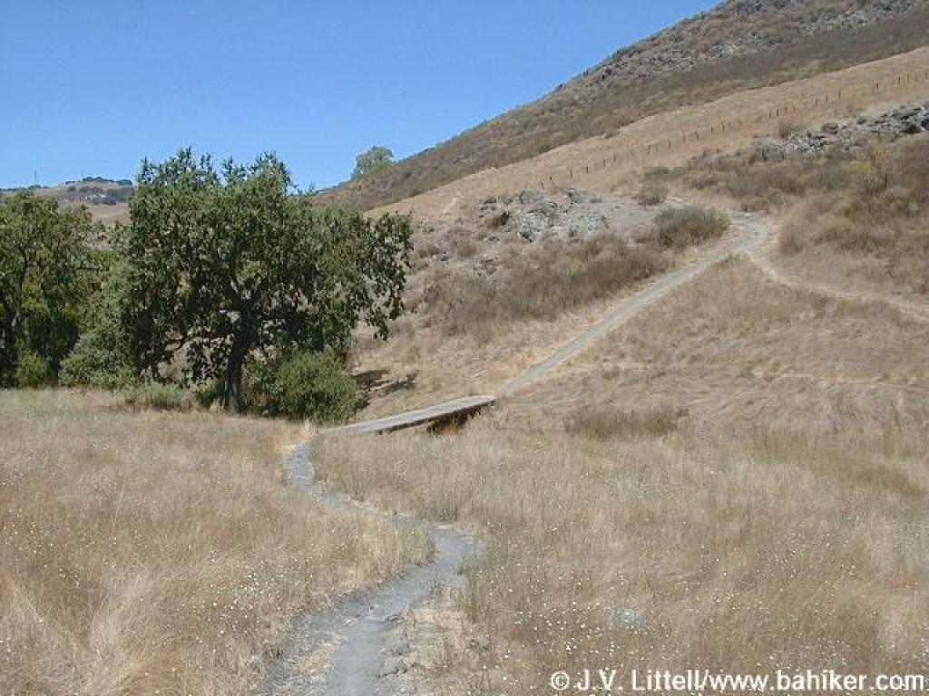
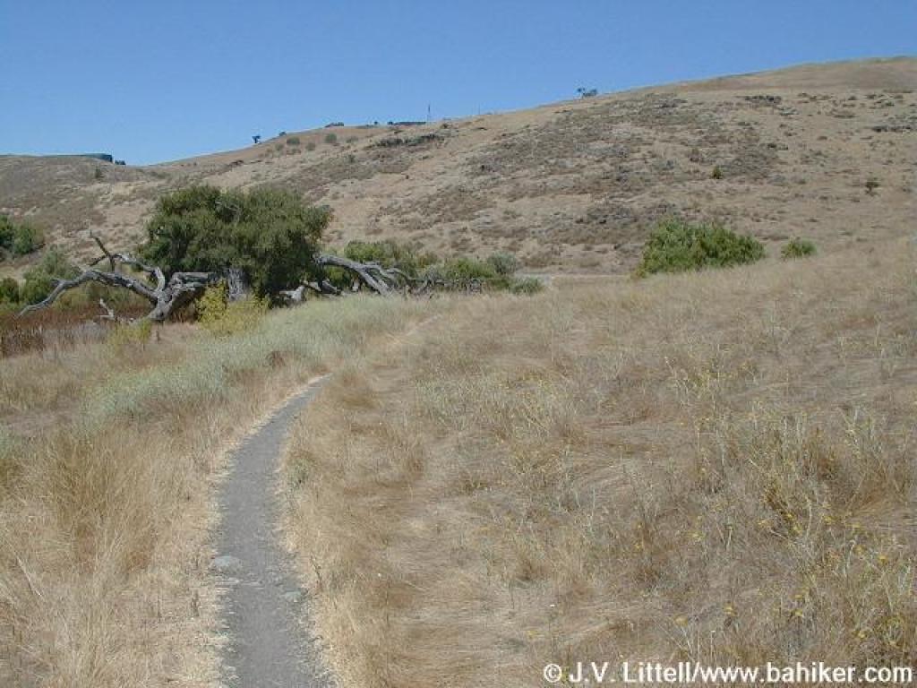
 Hidden Springs Trail |
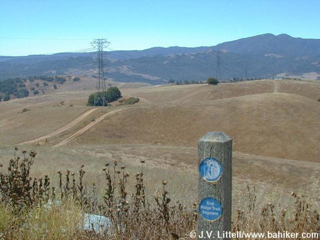
 Junction with Coyote Peak Trail |
||||
 Looking back |
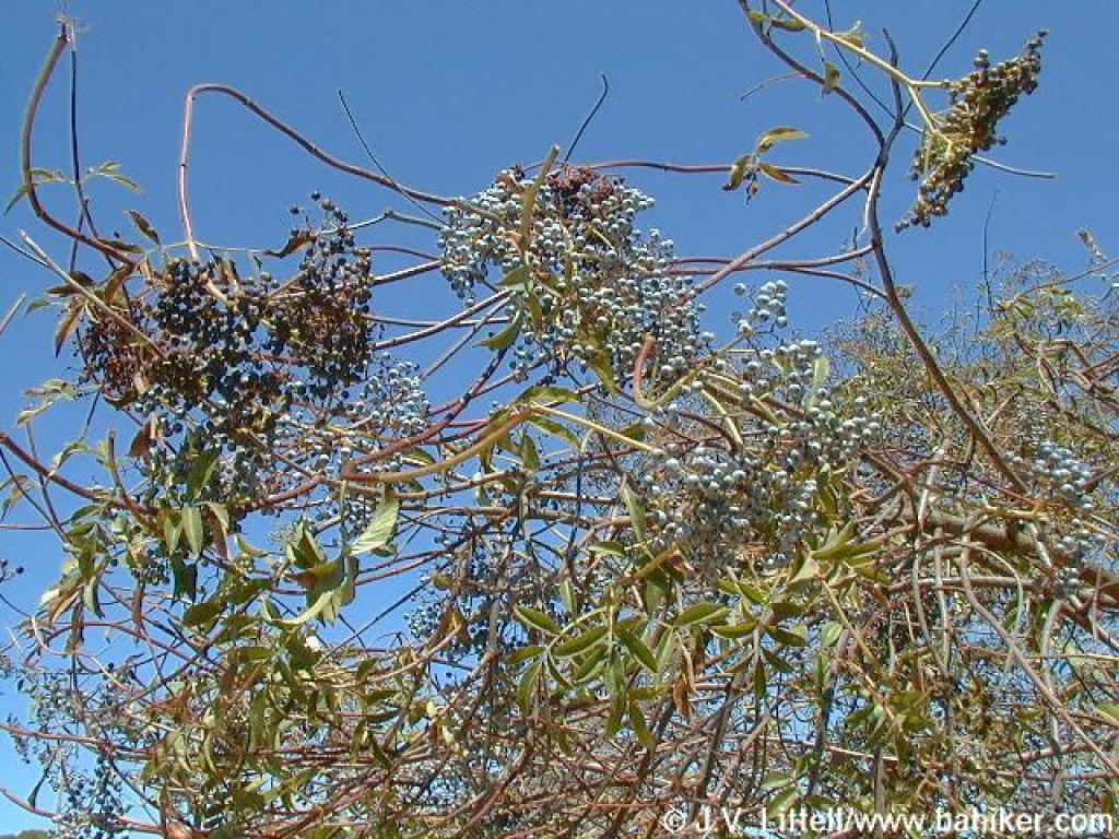 Blue elderberry |
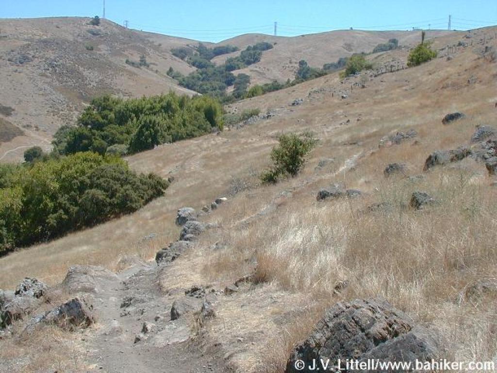
 Coyote Peak Trail |
 Junction with Boundary Trail |
||||
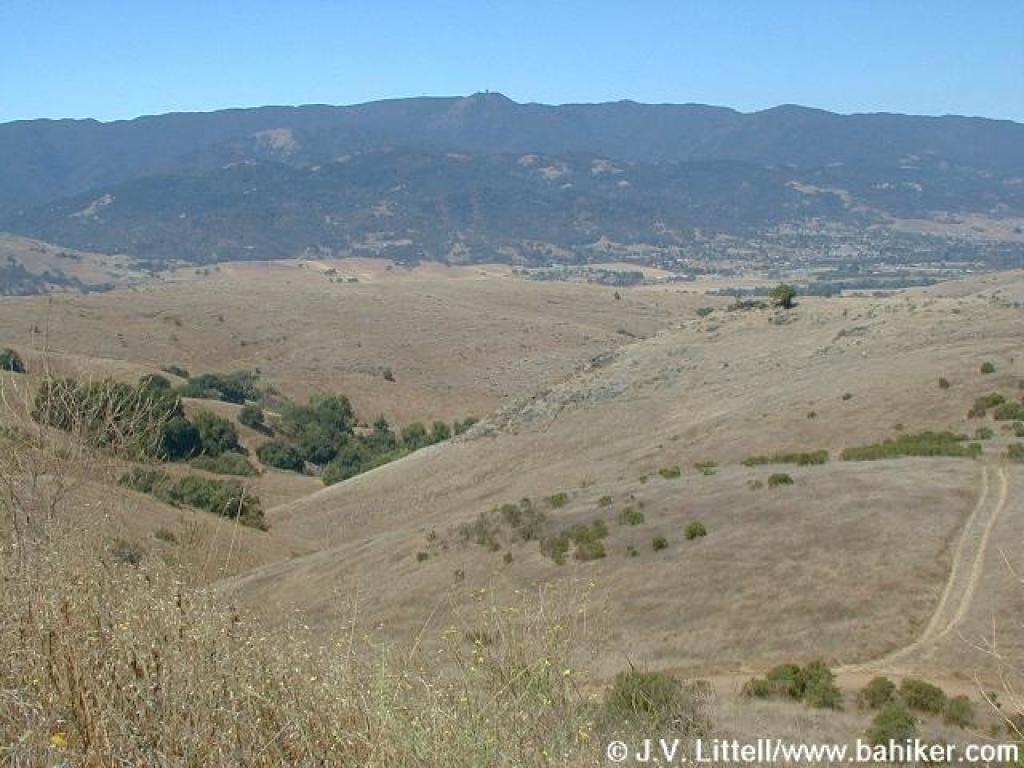
 Looking east |
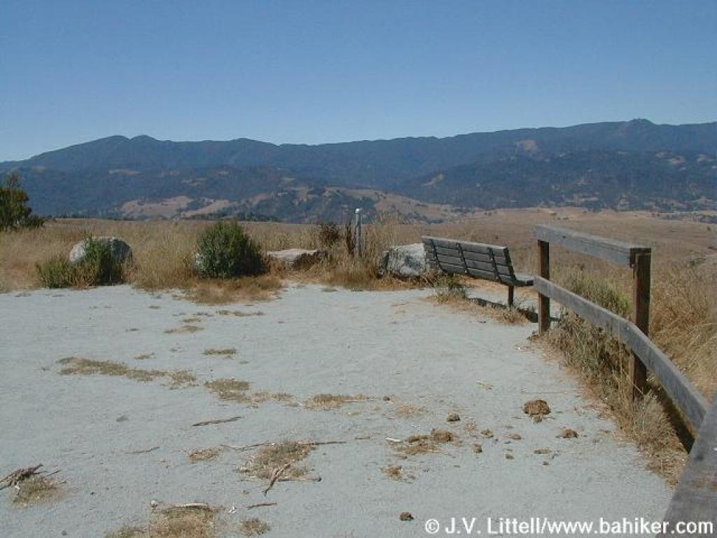 Benches provide nice rest stops |
 Looking west |
 Dropping back down to rejoin Coyote Peak Trail |
||||
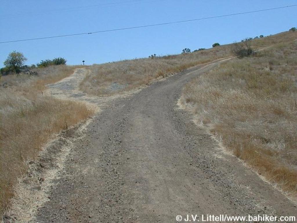
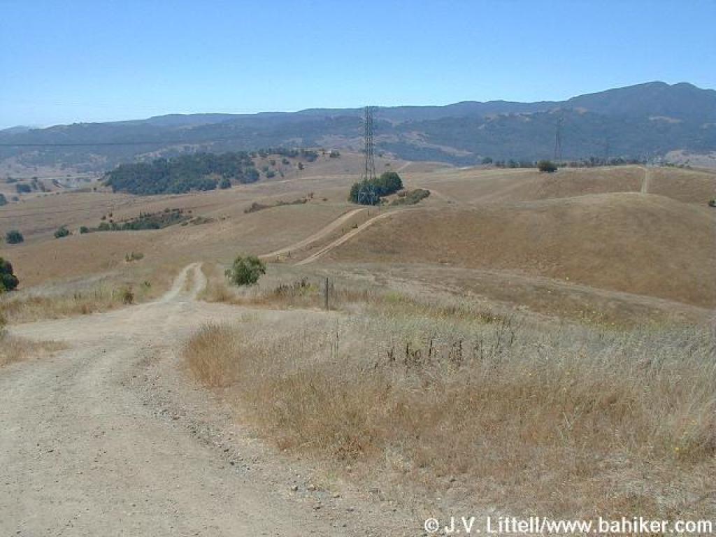
 Heading west |
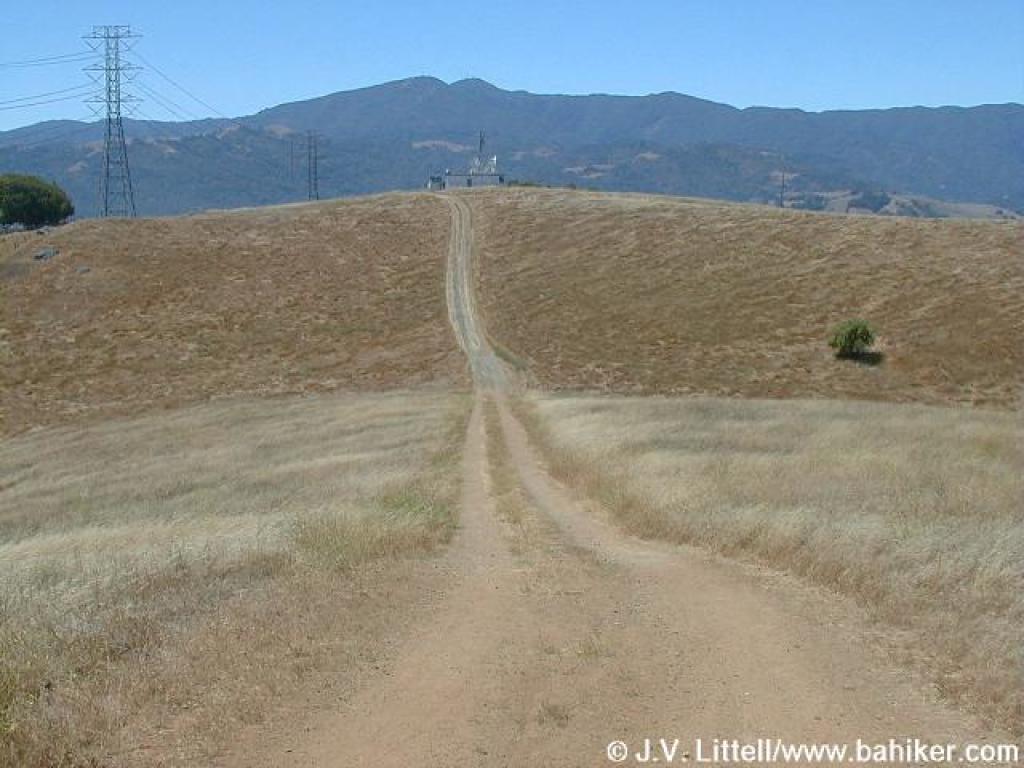
 Start of Rocky Ridge Trail |
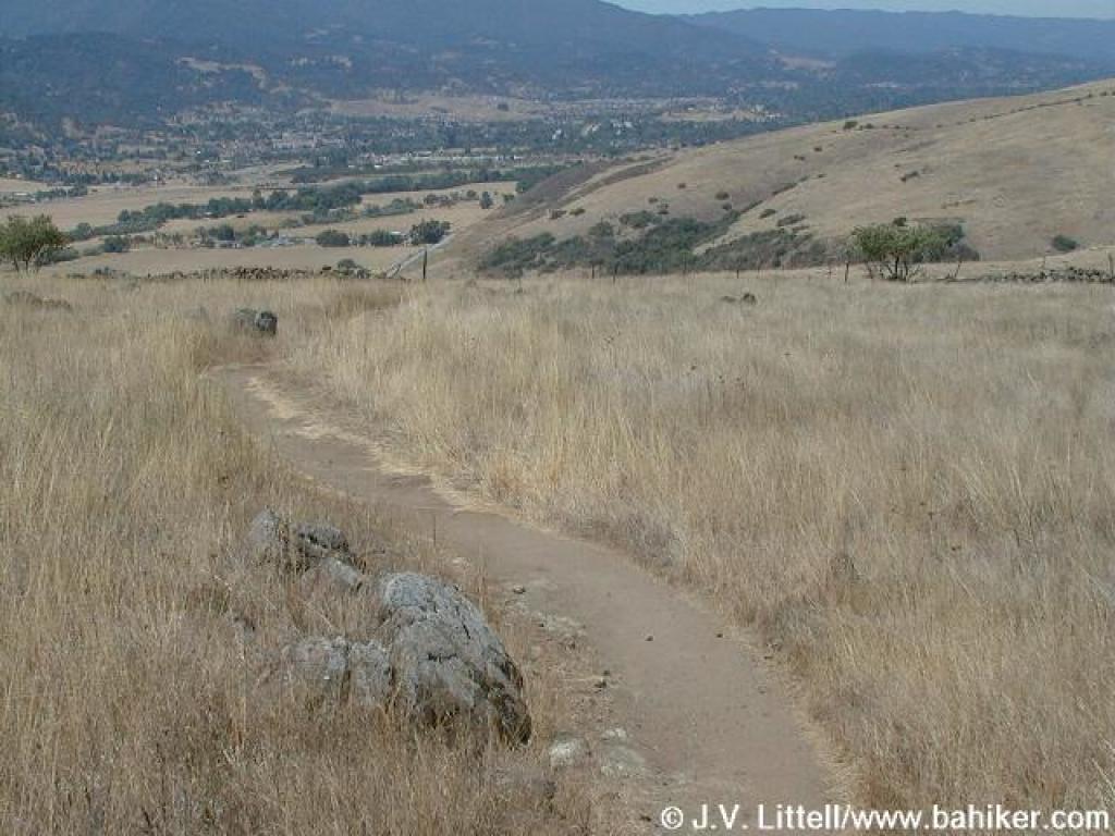
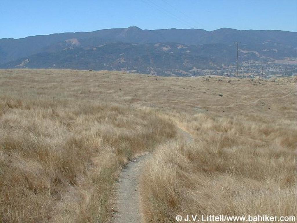 Small path through the grassland |
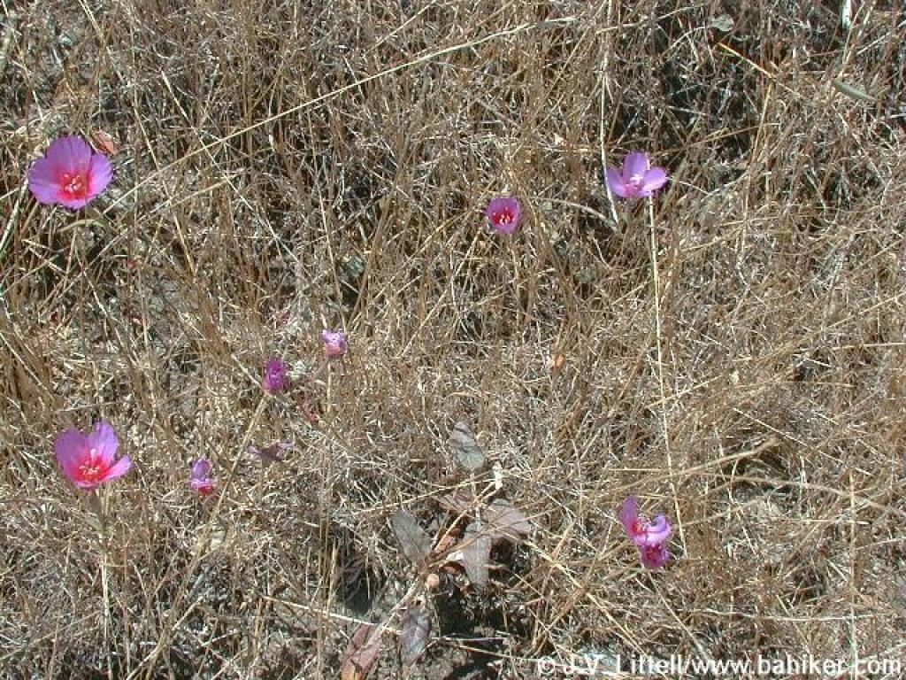 Clarkia, still blooming in July |
||||
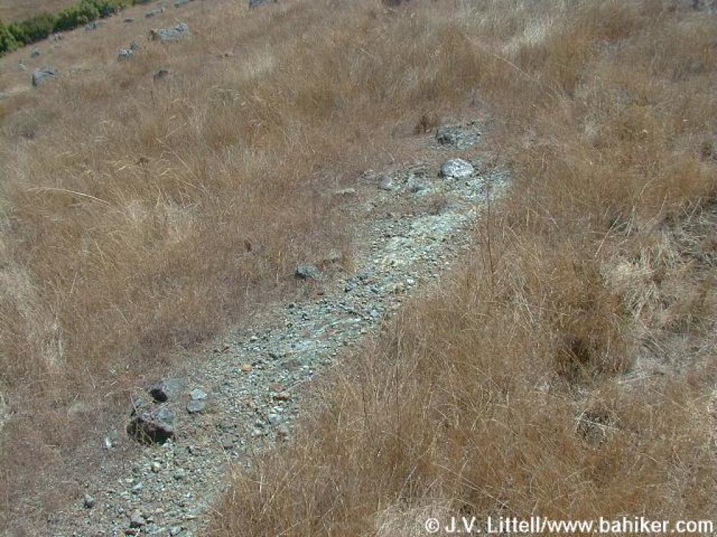 Serpentine |
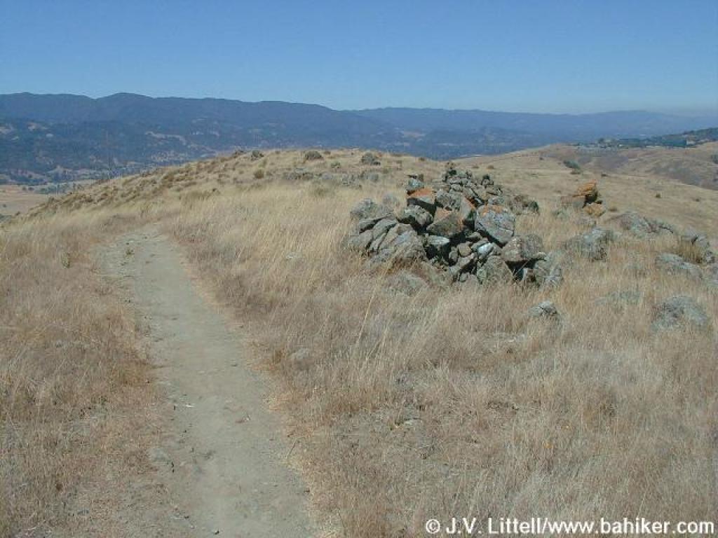 Passing some rock piles |
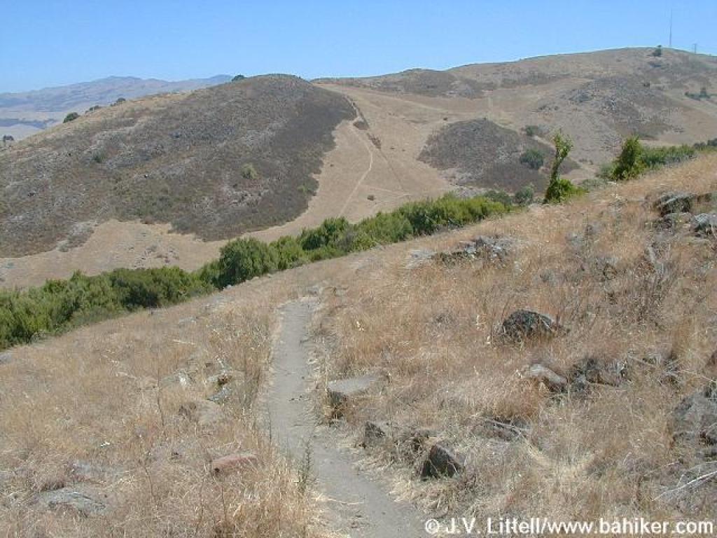
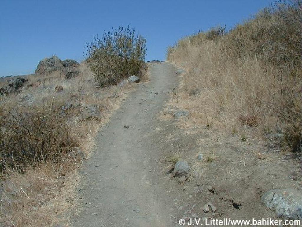
 Rocky Ridge Trail |
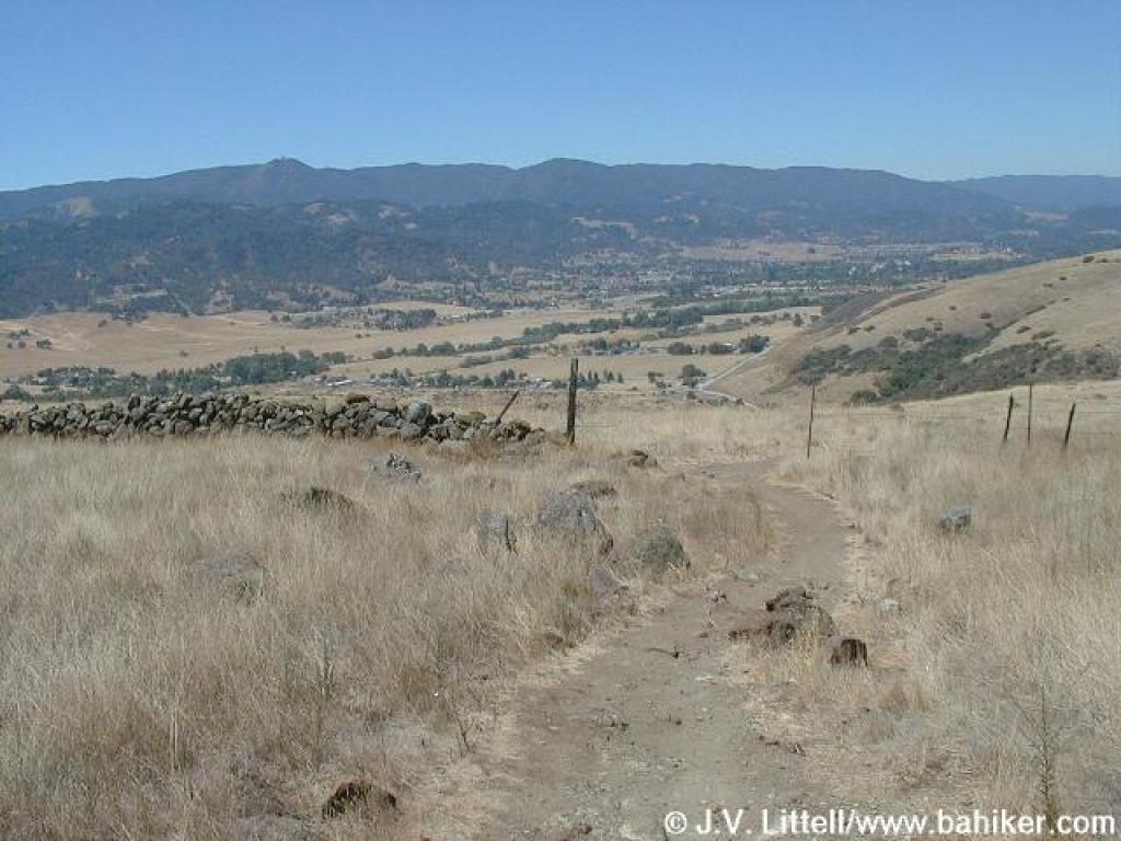 Crossing an old-looking stone fence |
||||
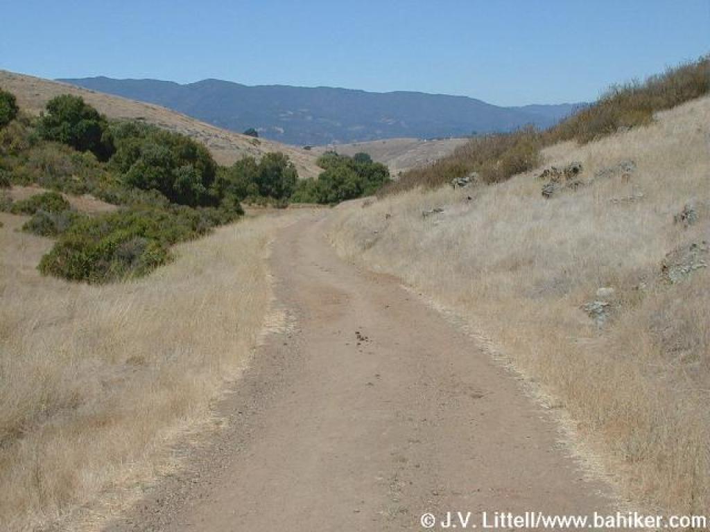
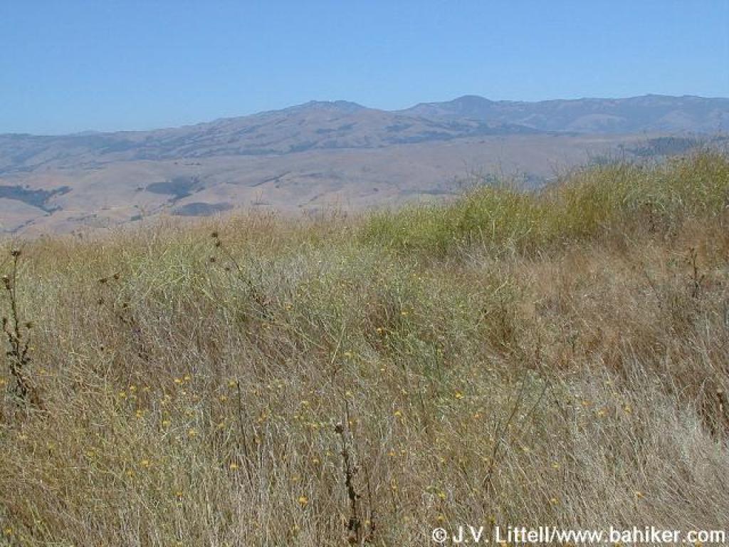
 Looking west |
 Trailside gets even rockier |
 Trail turns back to the east |
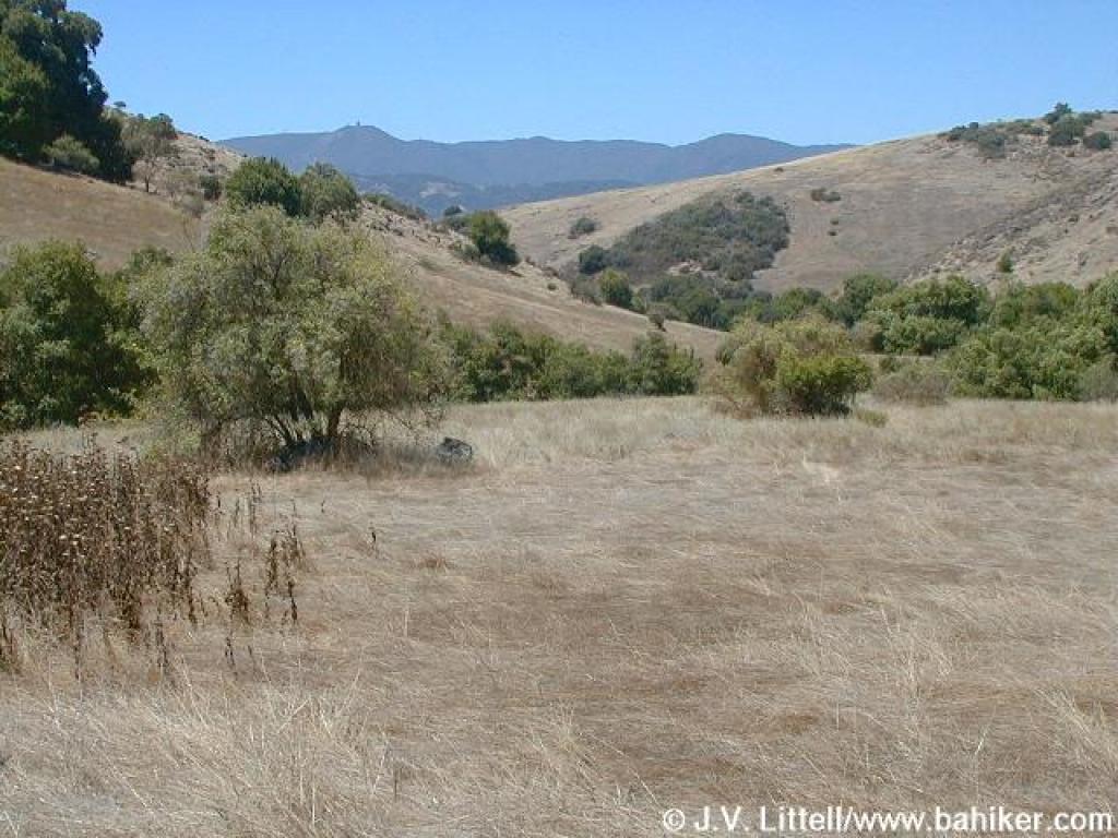
 Big Oak Valley |
||||
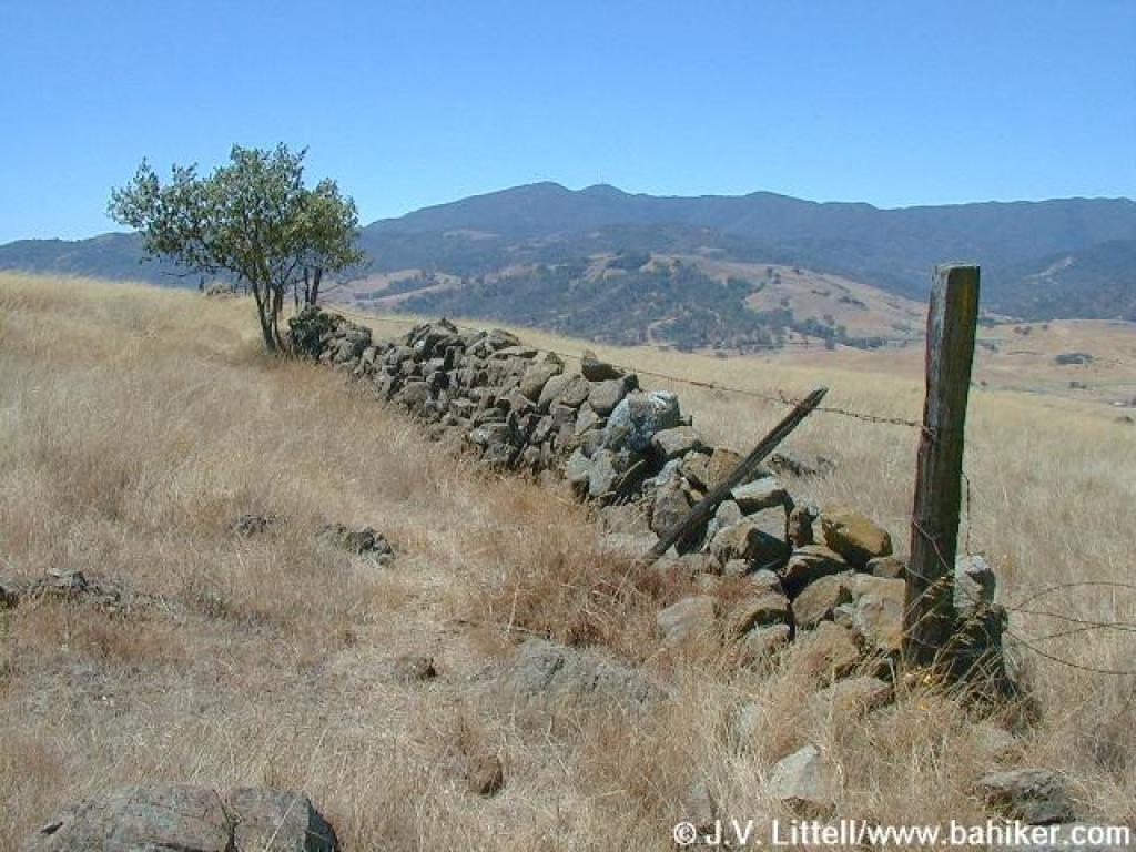
 Another old fence line |
 Narrow stretch |
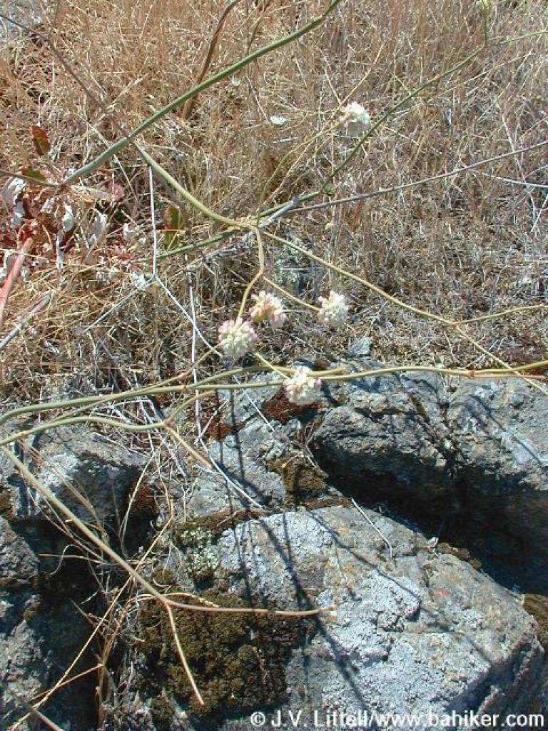 A wild buckwheat |
 Dropping down to cross a creek |
||||
 More black sage on the side of the trail |
 Plenty of poison oak near the creekbed to the left |
 Lots of yellow star thistle through here |
 A large blue elderberry tree, with the Sierra Azul in the background |
||||
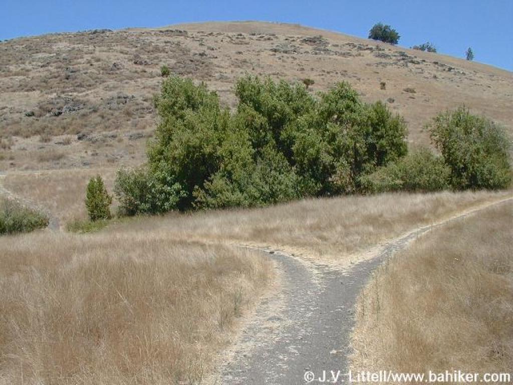 Trail split |
 Poison oak |
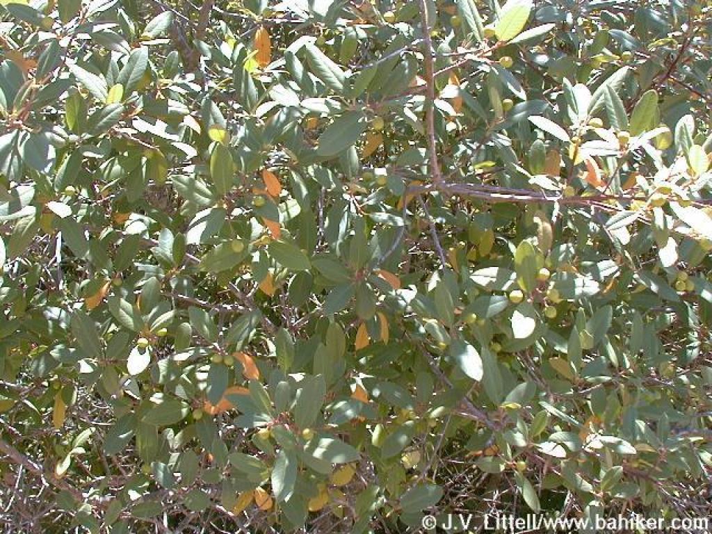 California coffeeberry |
 Edging along a creek |
||||
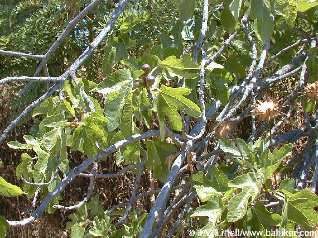 Fig |
 Approaching a damp seep |
 This is the largest California coffeeberry "bush" I've ever seen |
 Returning to the parking lots |
||||
 Through the corral |
 One last look back |
Go to Bay Area Hiker Santa Teresa page Go to Bay Area Hiker Home Page |
|||||