| Photos
from a December 2001 hike at Stevens Creek County Park (click on any image for a larger view) |
|||||||
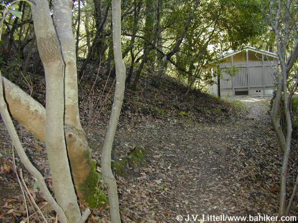
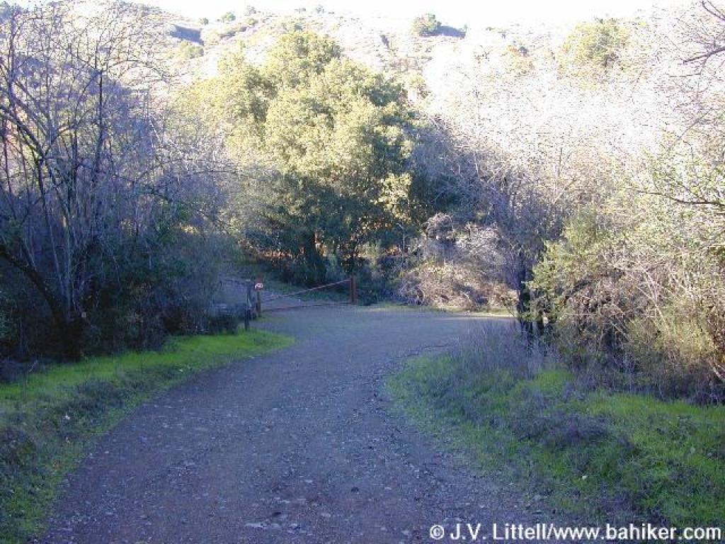
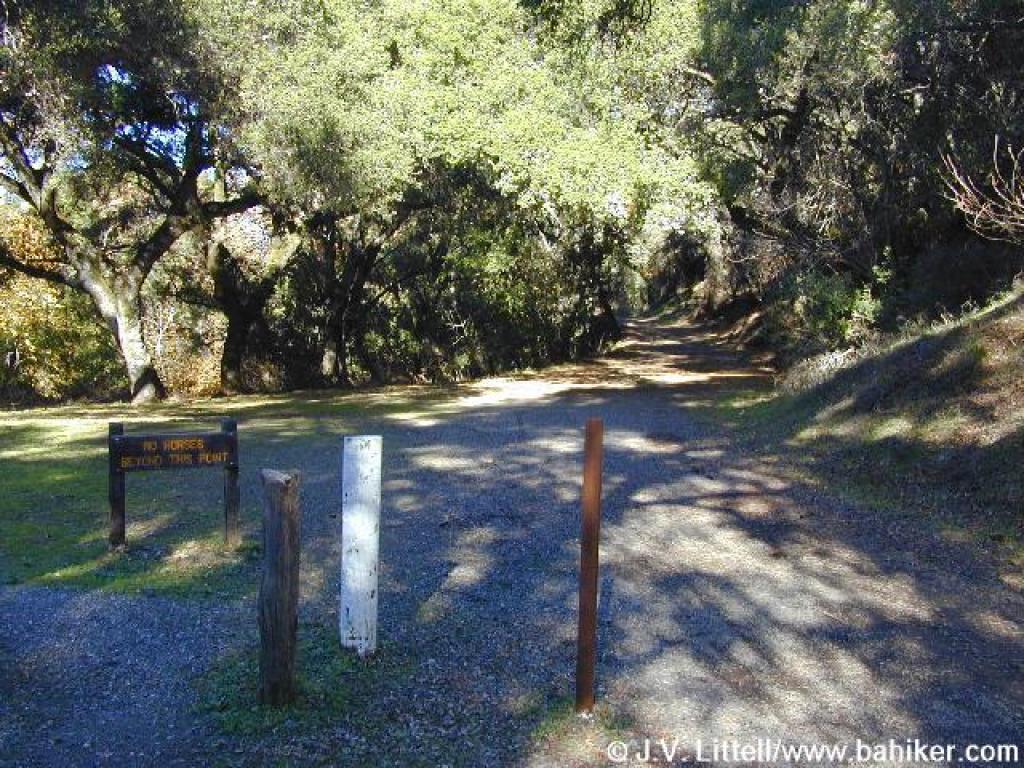
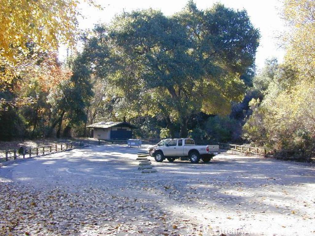 Trailhead |
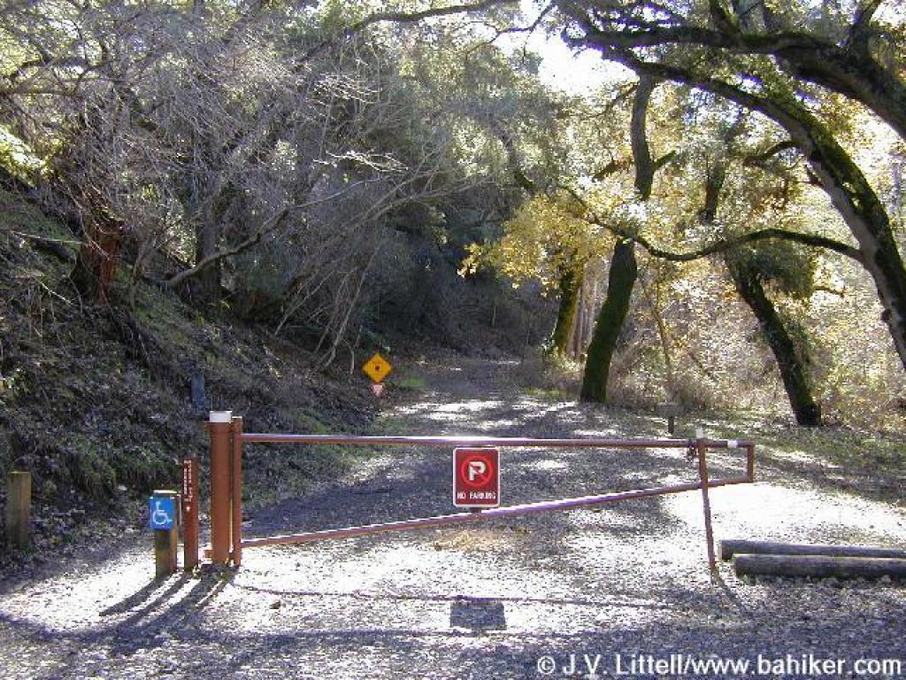
 Walking back on the park road to the trail |
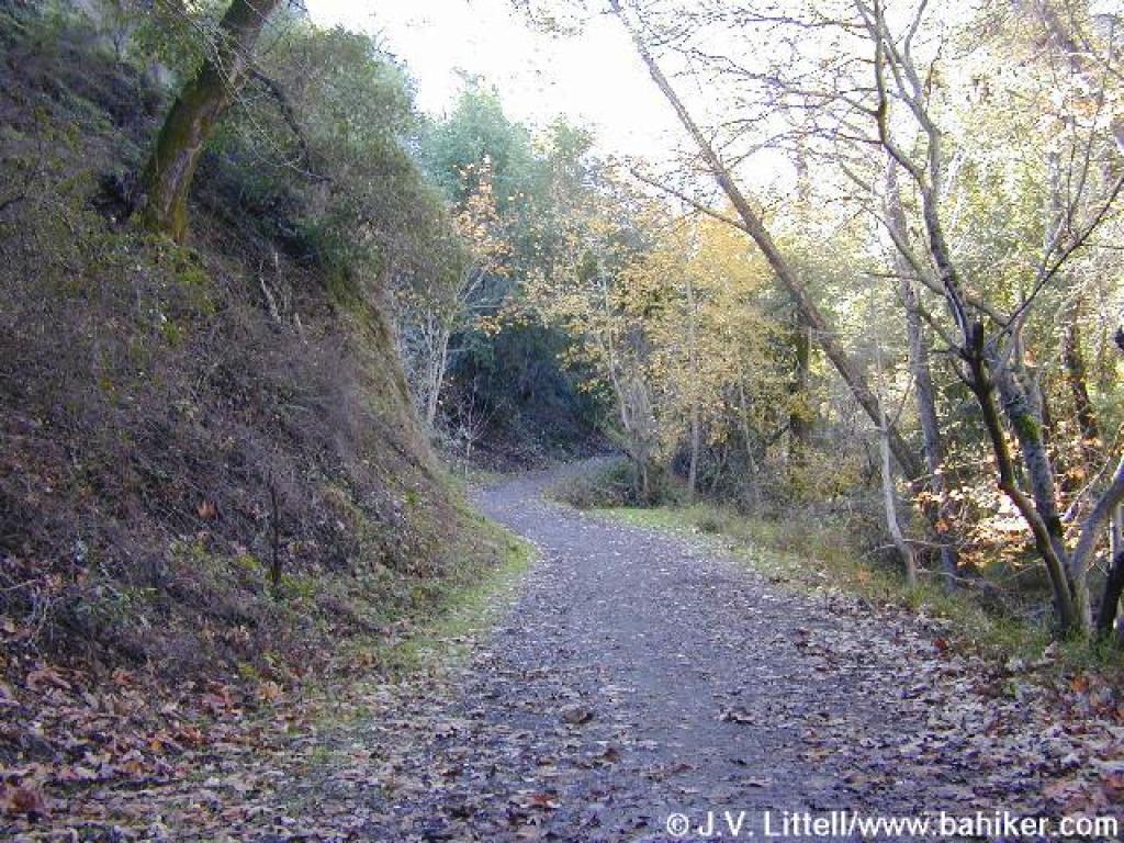
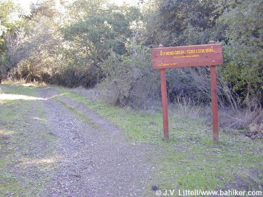
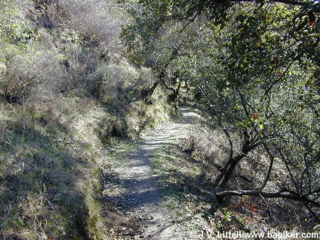
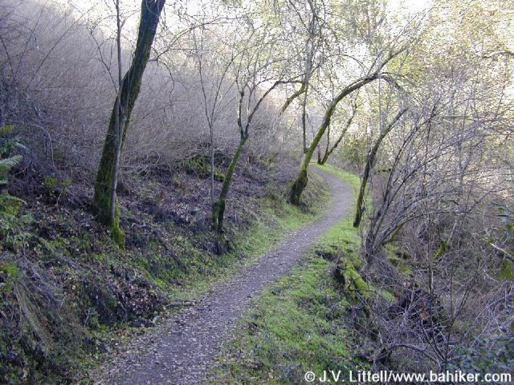
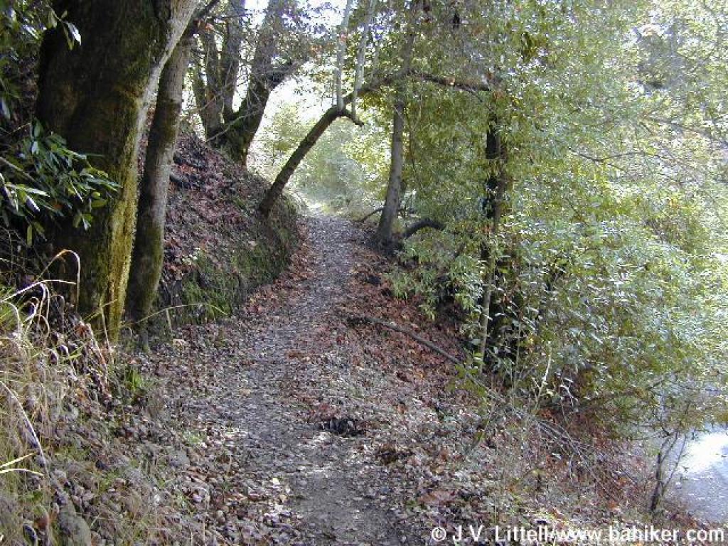
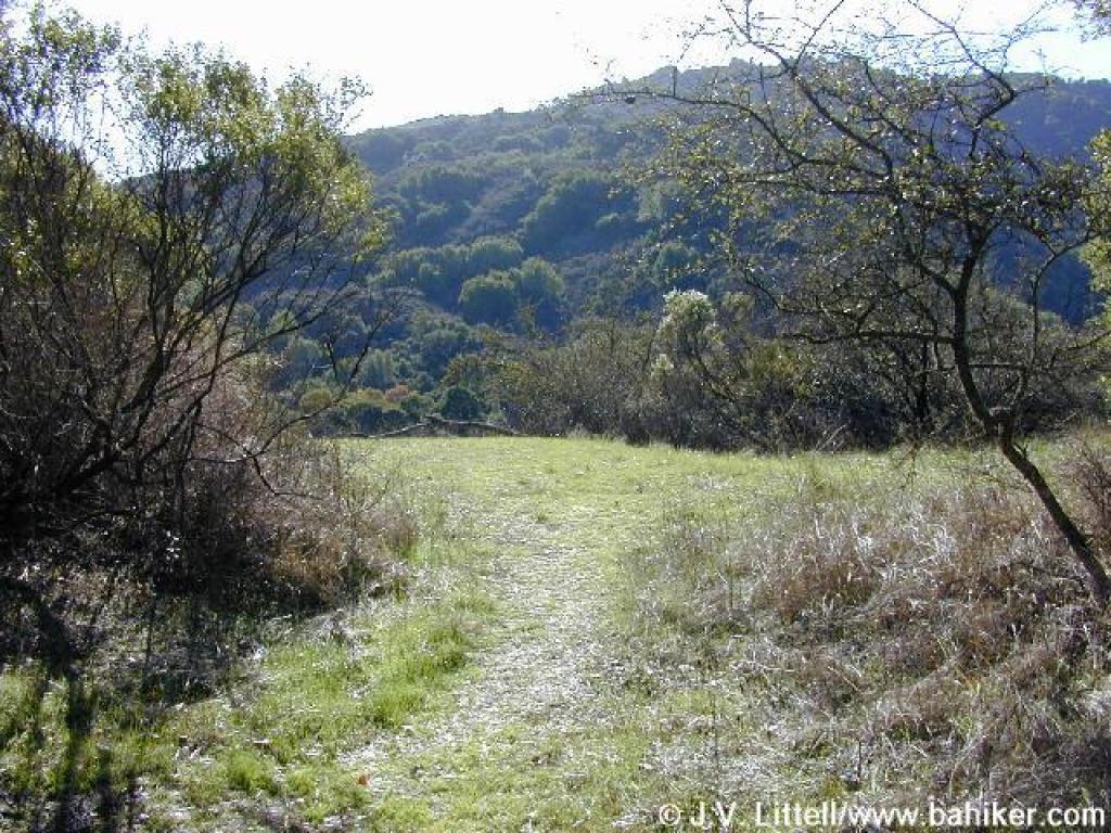
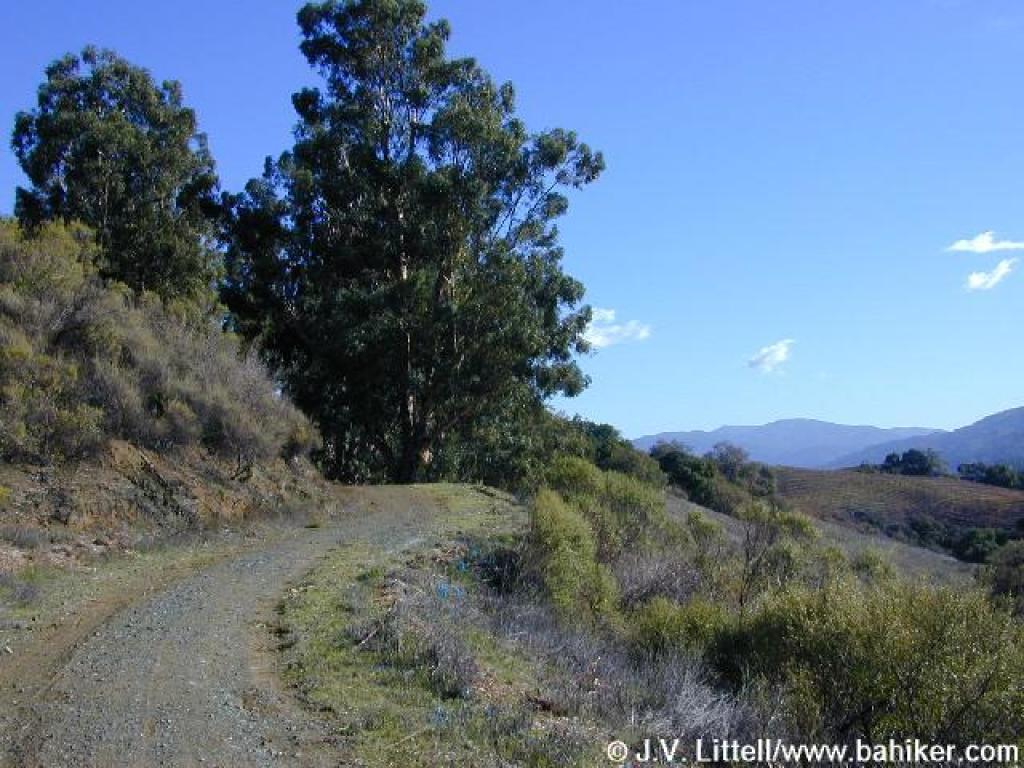
 Stevens Creek Tony Look Trail |
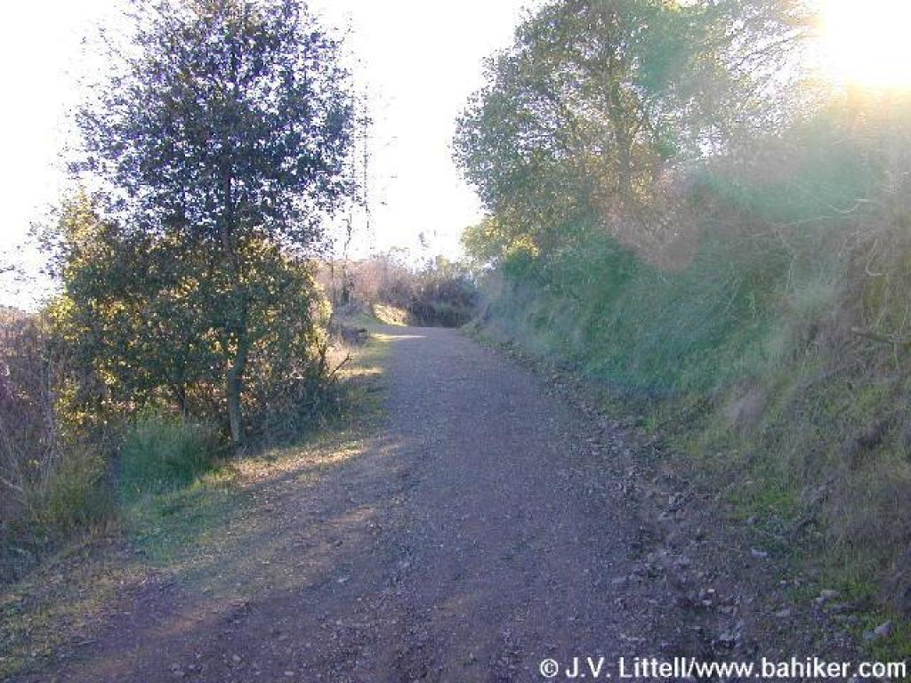
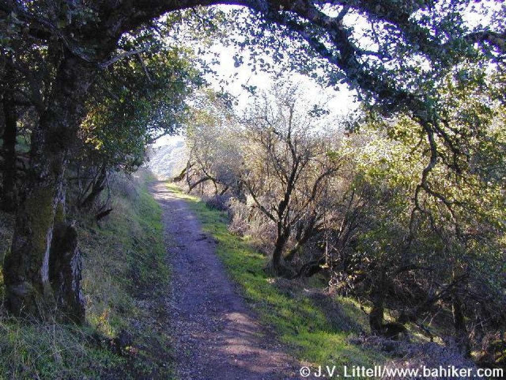
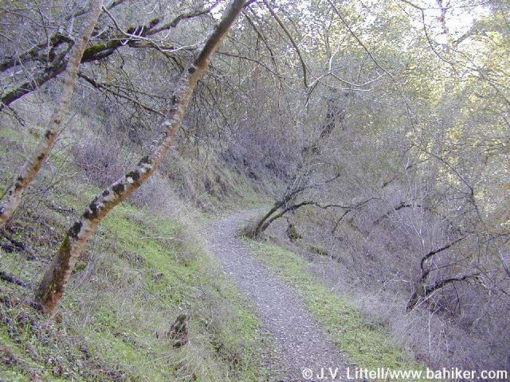
 Trail climbs gently |
||||
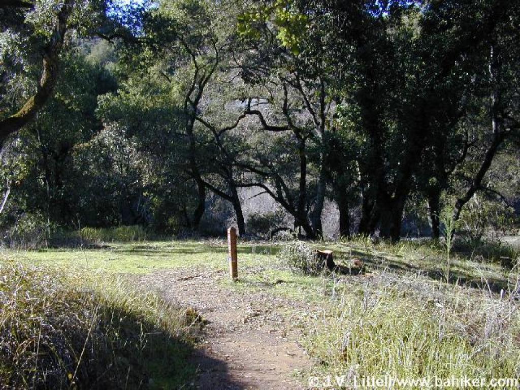
 Flat spot |
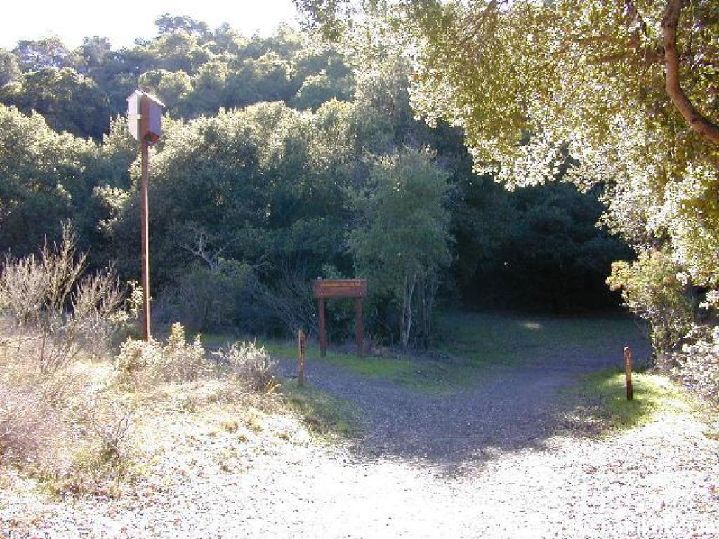
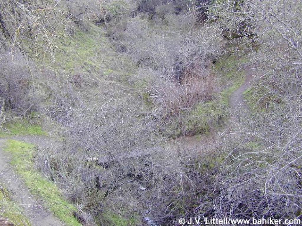
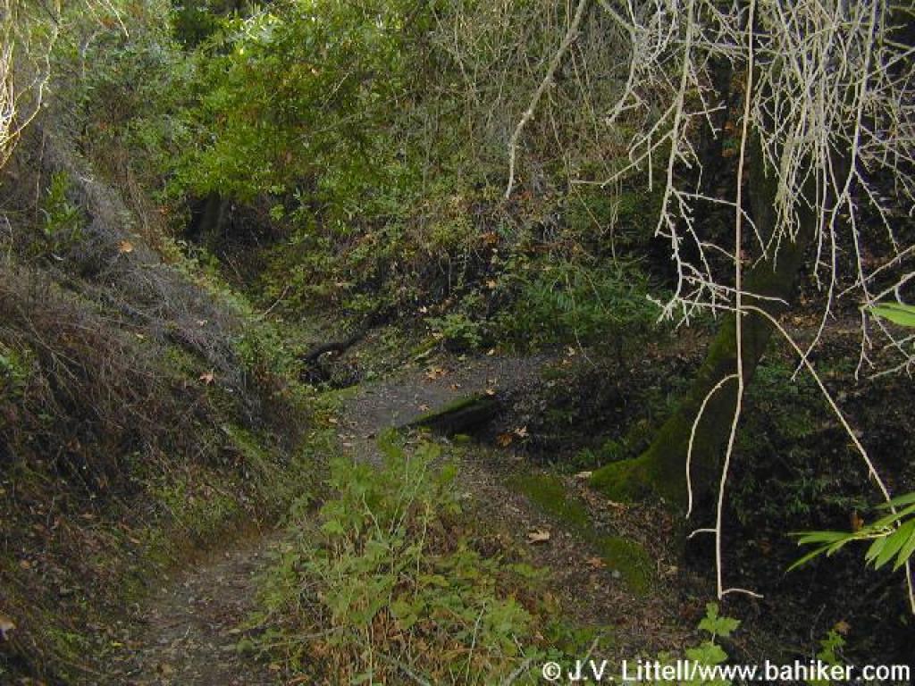
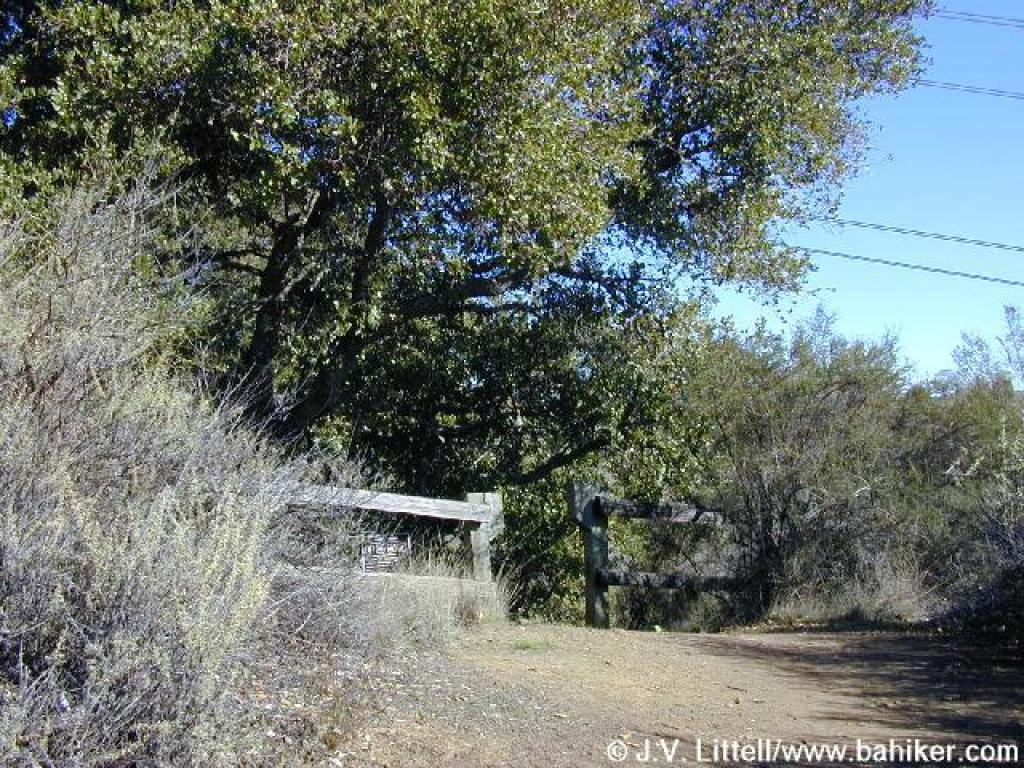
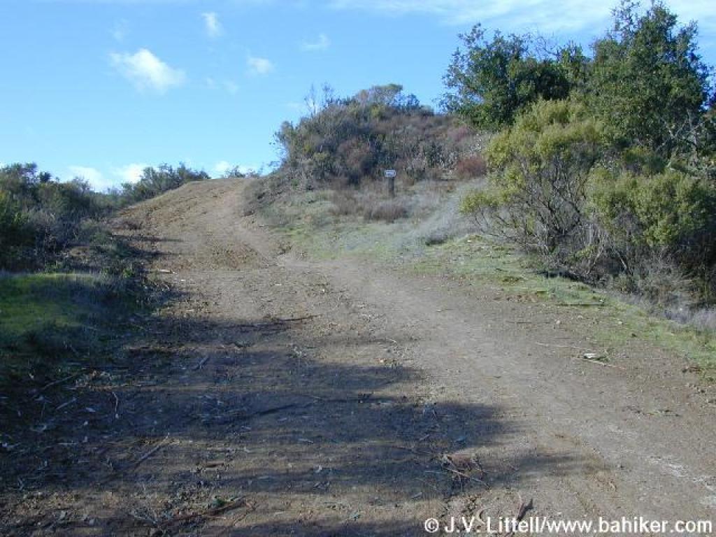
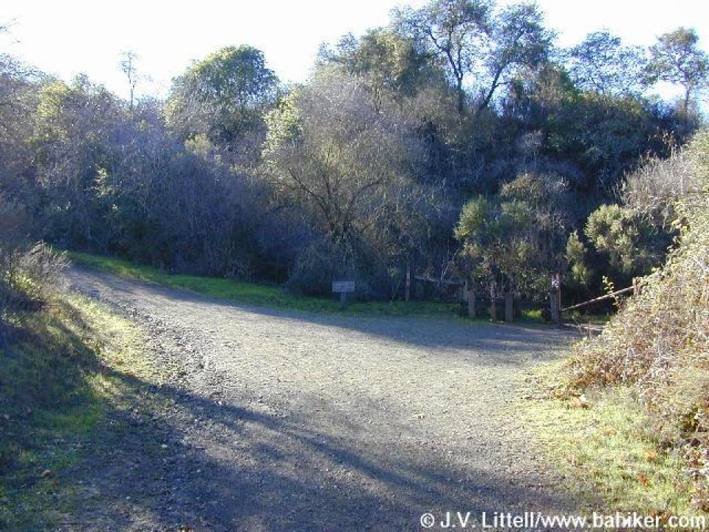 Junction |
 Brief uphill |
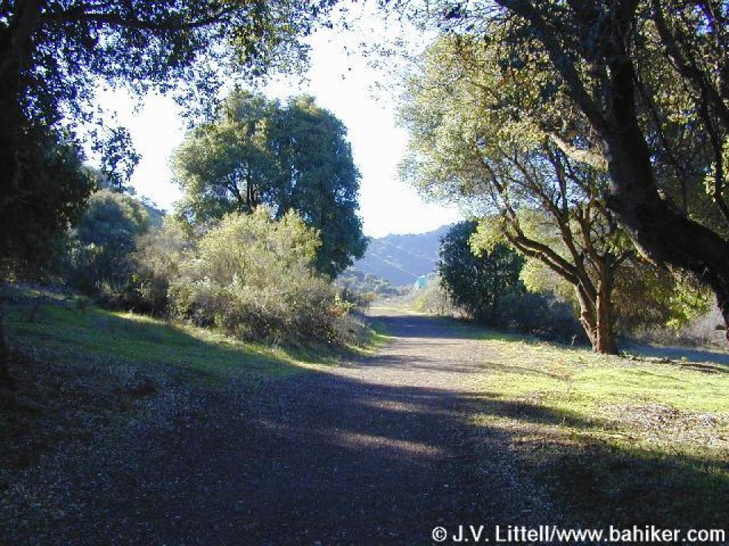 Trail levels out |
||||
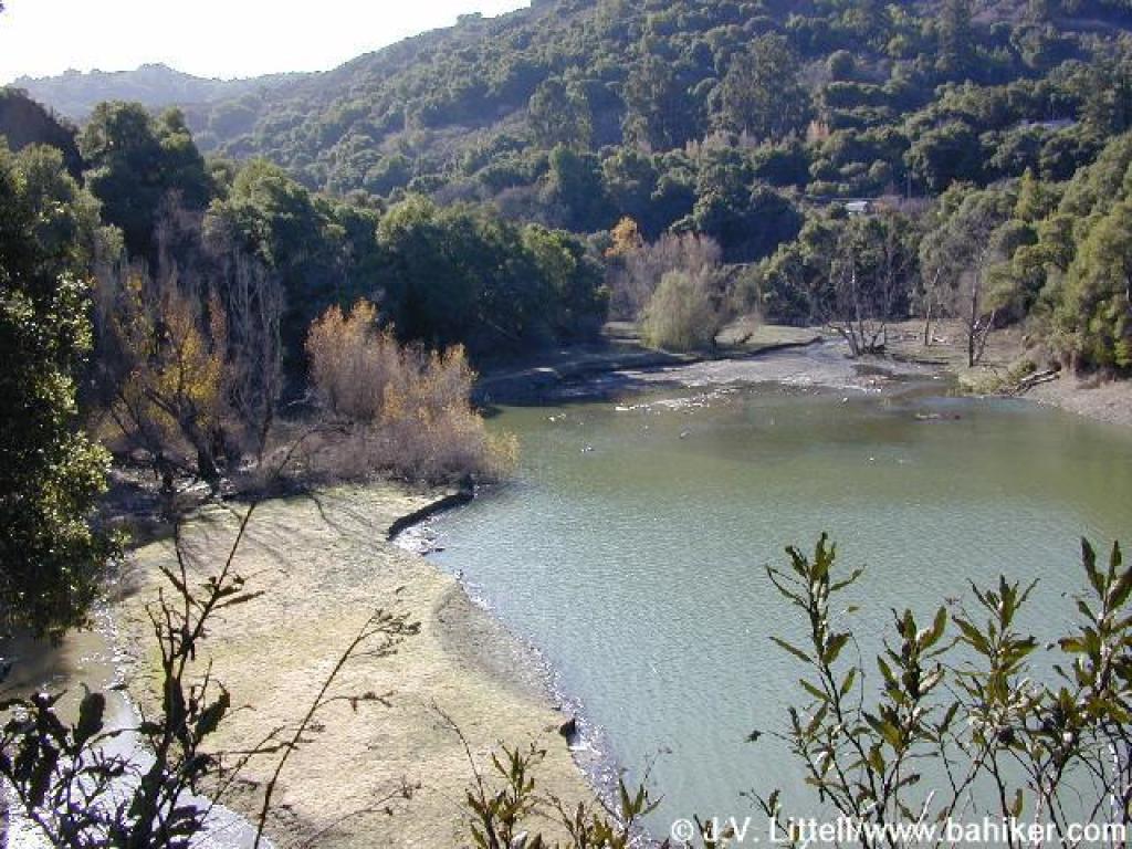
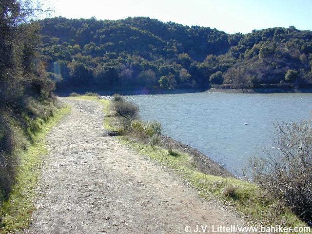 Along the reservoir |
 Junction |
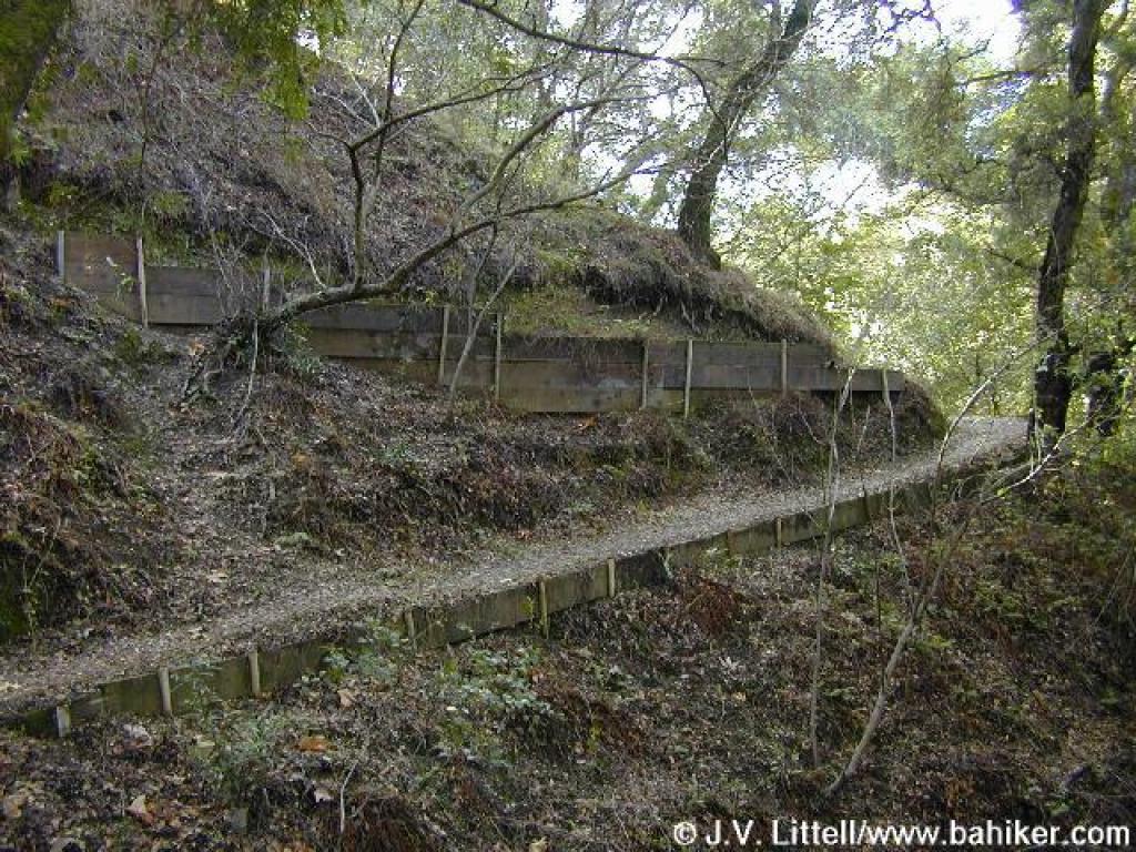
 Start of volunteer built segment |
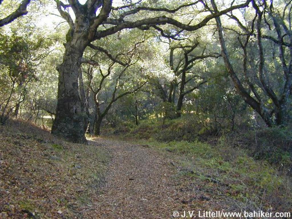 Into the woods |
||||
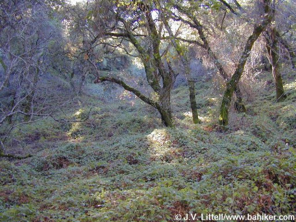 Blackberry vines have overtaken the understory |
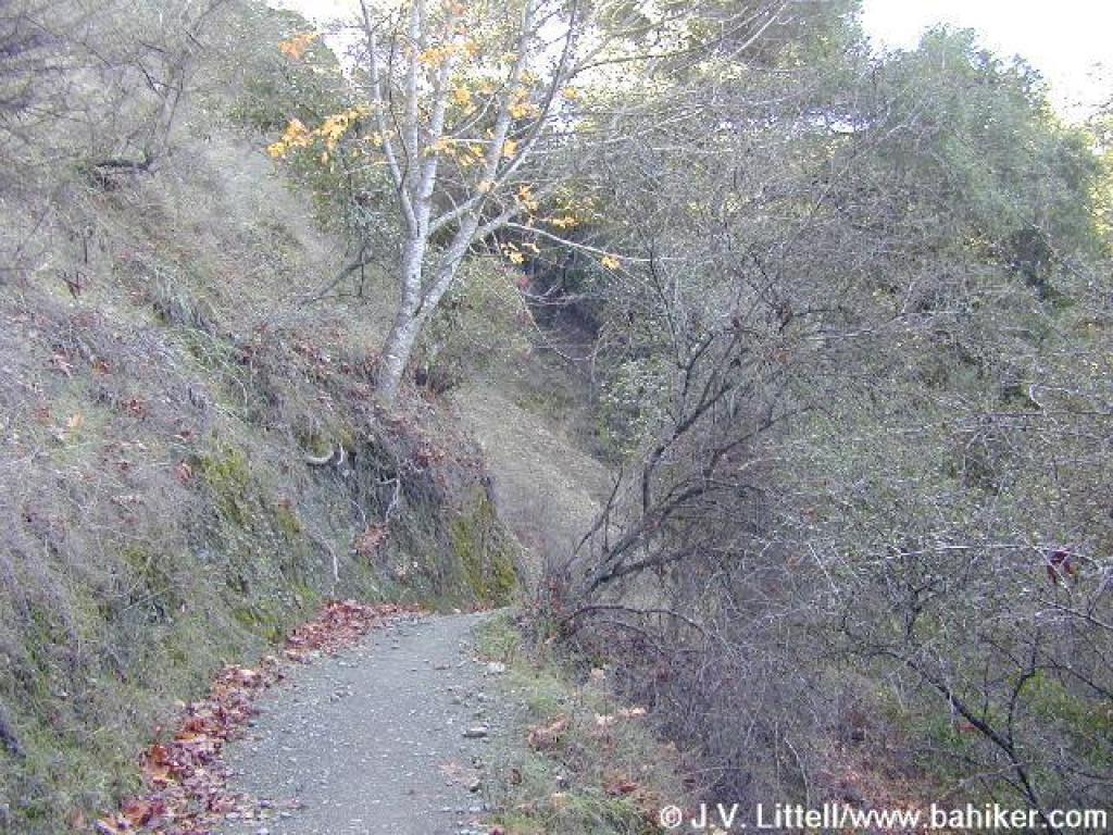
 Ascending |
 Trail steps out into chaparral |
 Chamise and cercocarpus line the trail |
||||
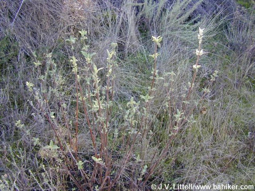 Pitcher sage |
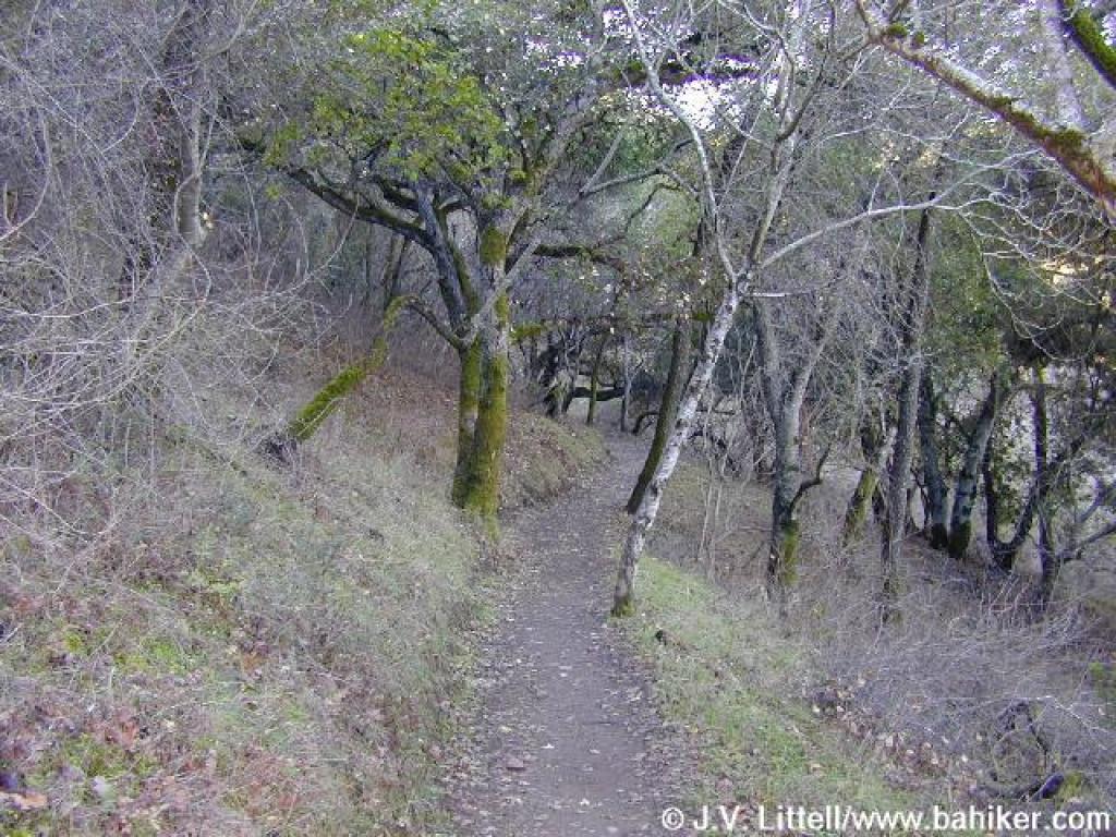
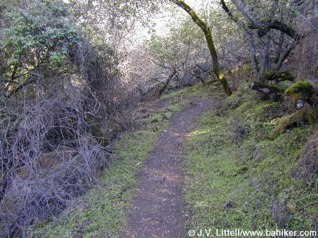 Trail snakes downhill under oaks |
 Fence protects from a steep dropoff |
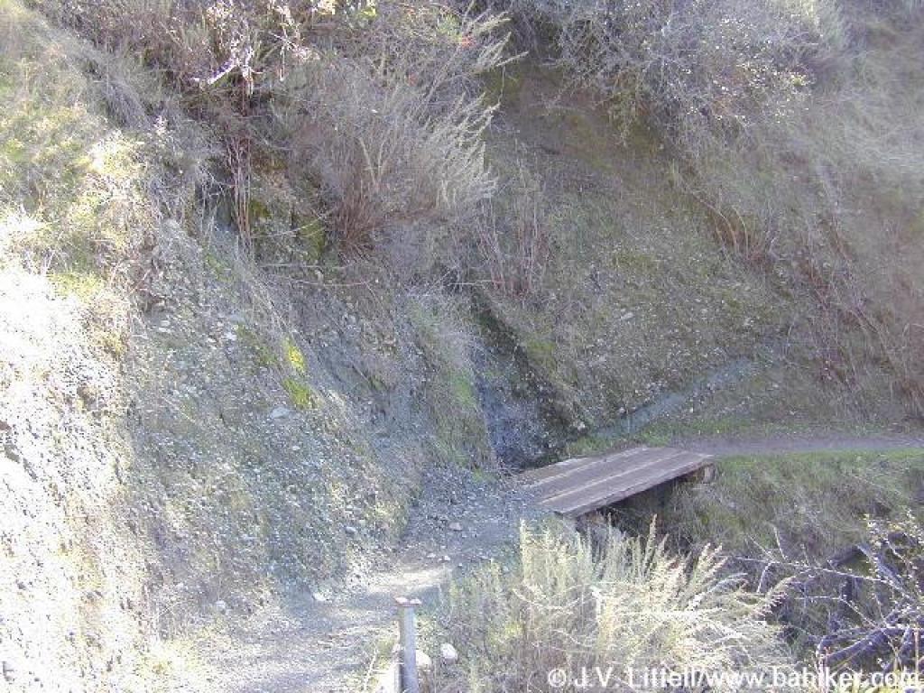 Plank bridge |
||||
 Another plank bridge |
 Ascending |
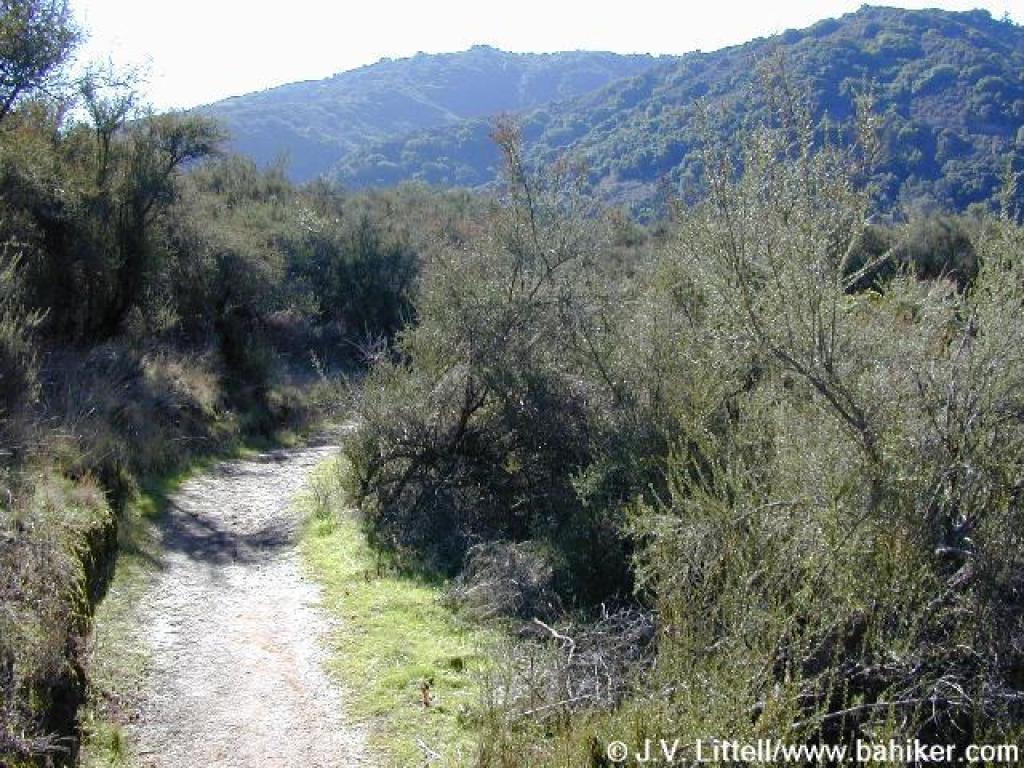
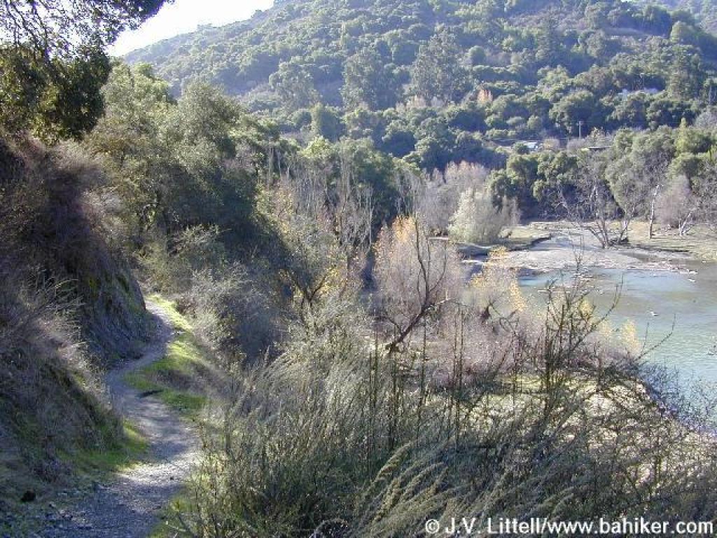
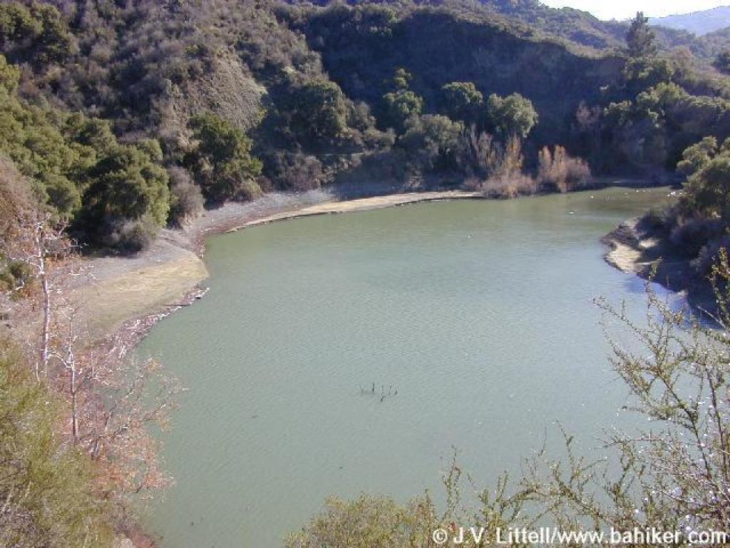 Reservoir view |
 Back in the woods |
||||
 Another view |
 Descending |
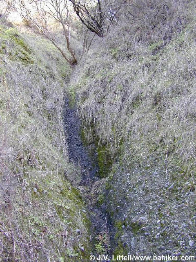 Seasonal waterfall |
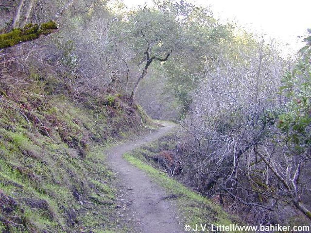
 Pretty stretch of trail |
||||
 Big-leaf maple along the trail |
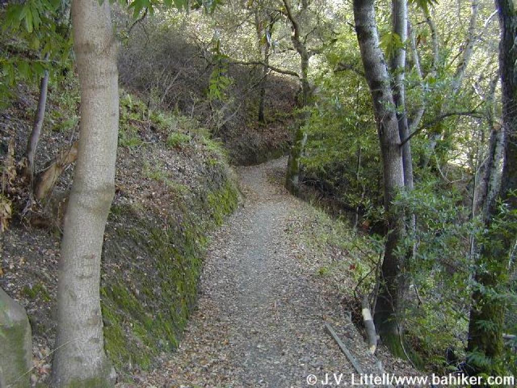 Woods, again |
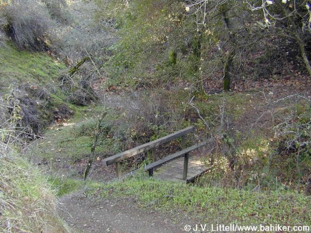 Bridge |
 Ascending, again |
||||
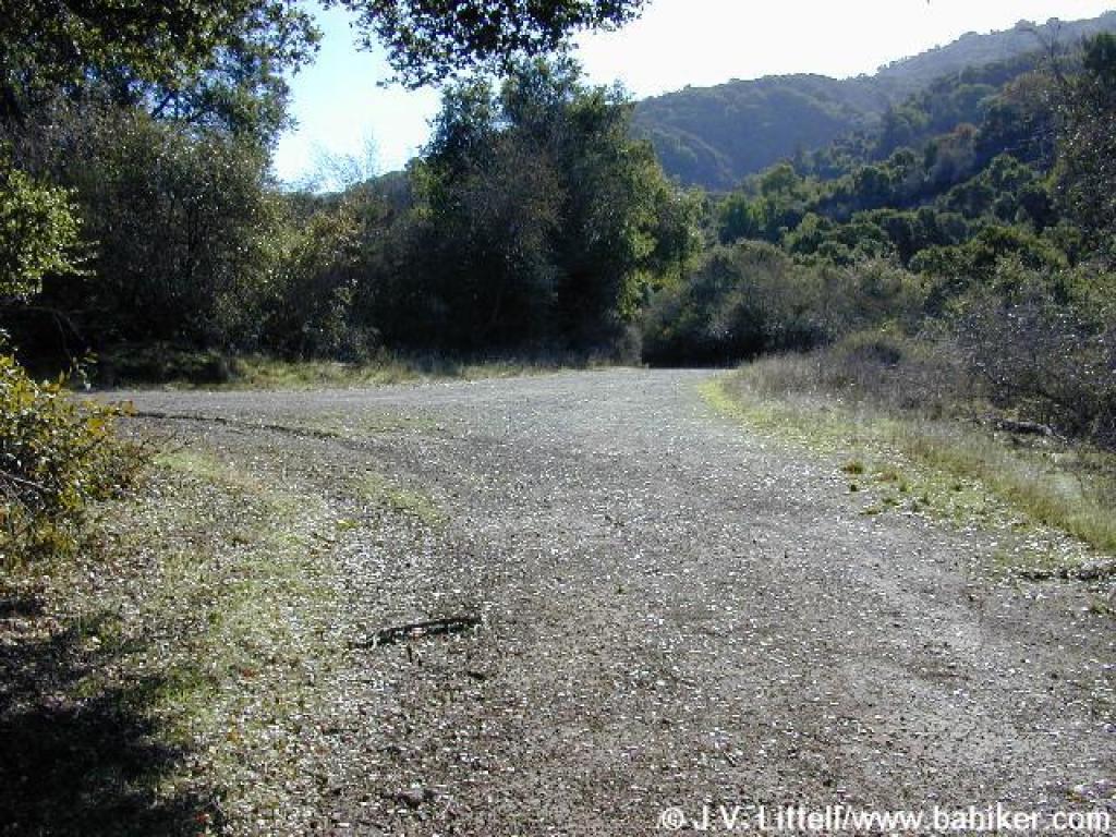
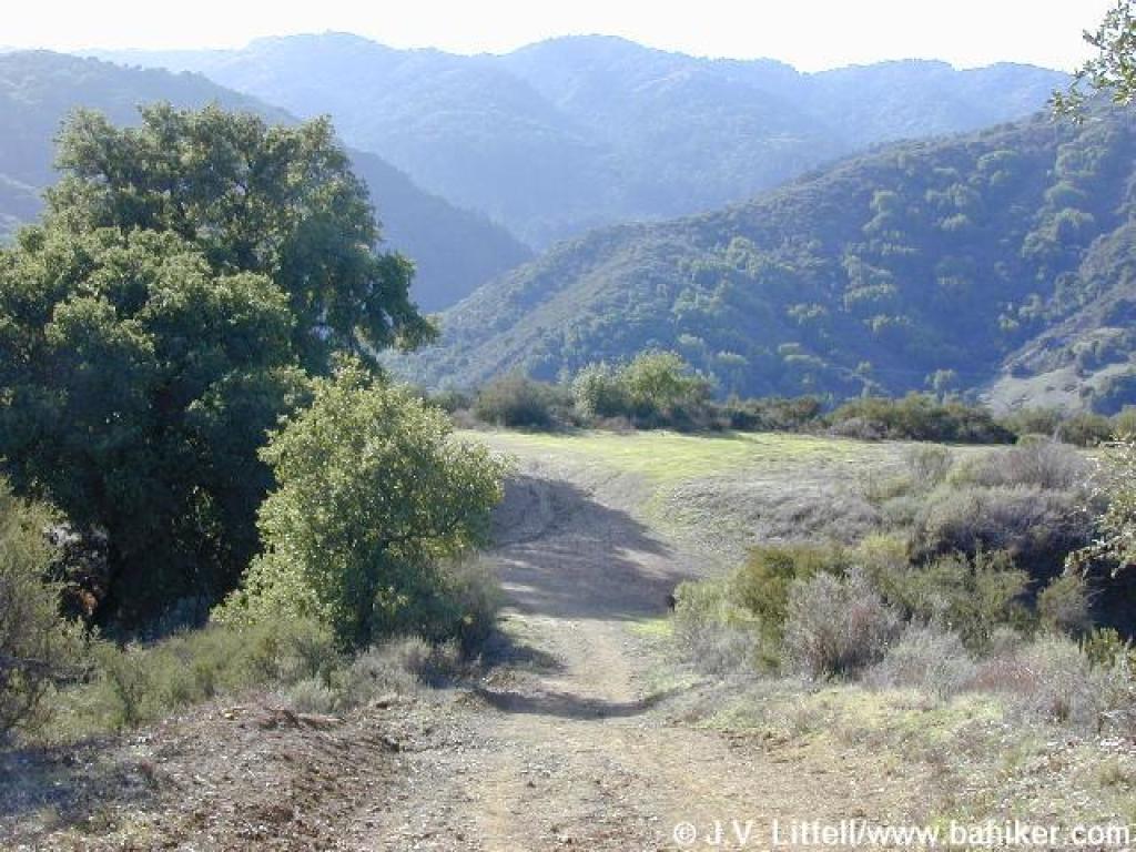
 Laurel Flat |
 Trail widens |
 Stay straight here |
 Junction near Stevens Canyon Road |
||||
 Trail follows along, but above the road |
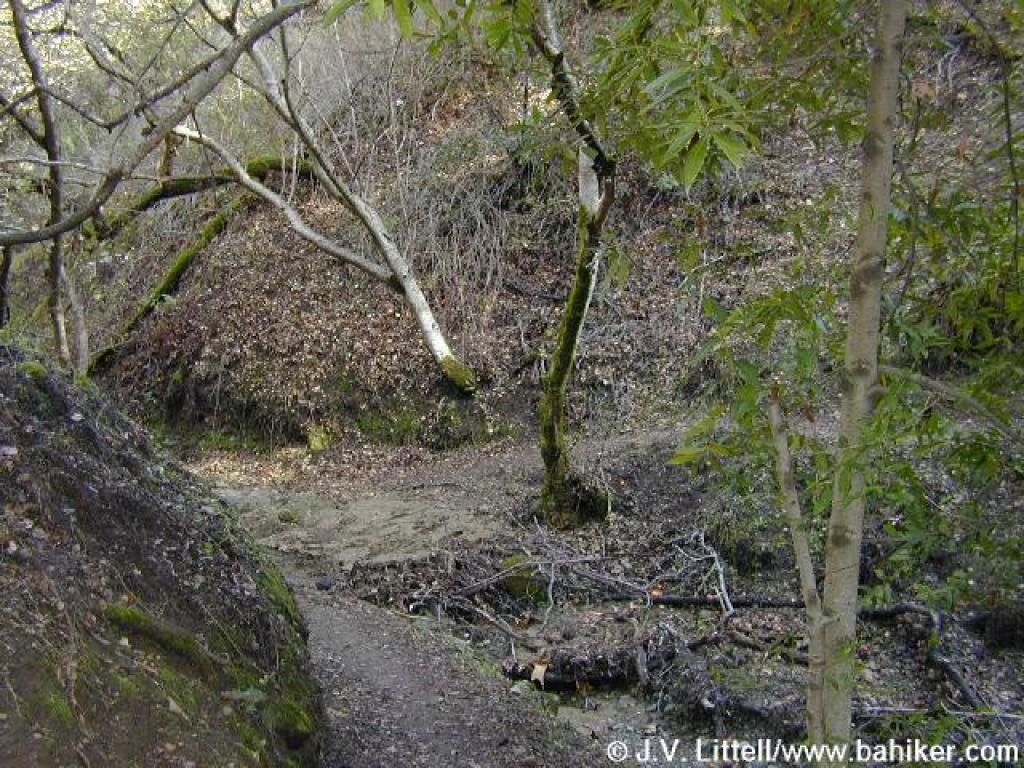 A little creek crossing that's muddy in the winter |
 Junction near Madrone Group Area |
 Climbing |
||||
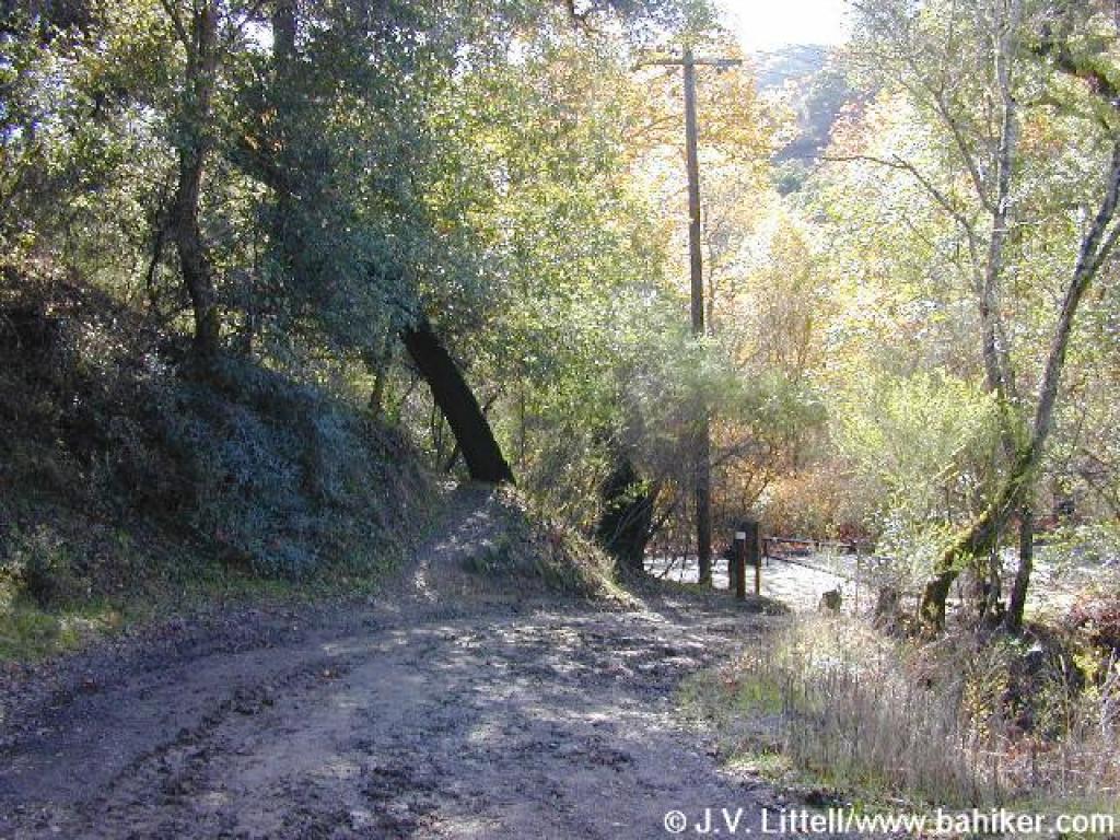
Bridge and unsigned junction: stay to the left |
 Switchback |
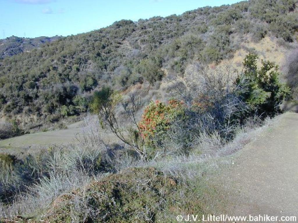
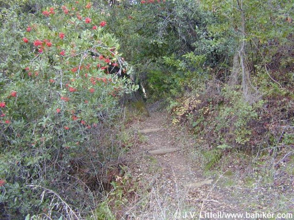 Toyon on the side of the trail |
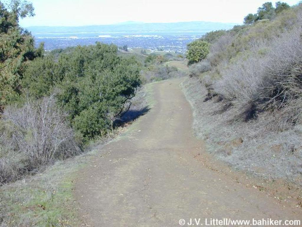
View southwest |
||||
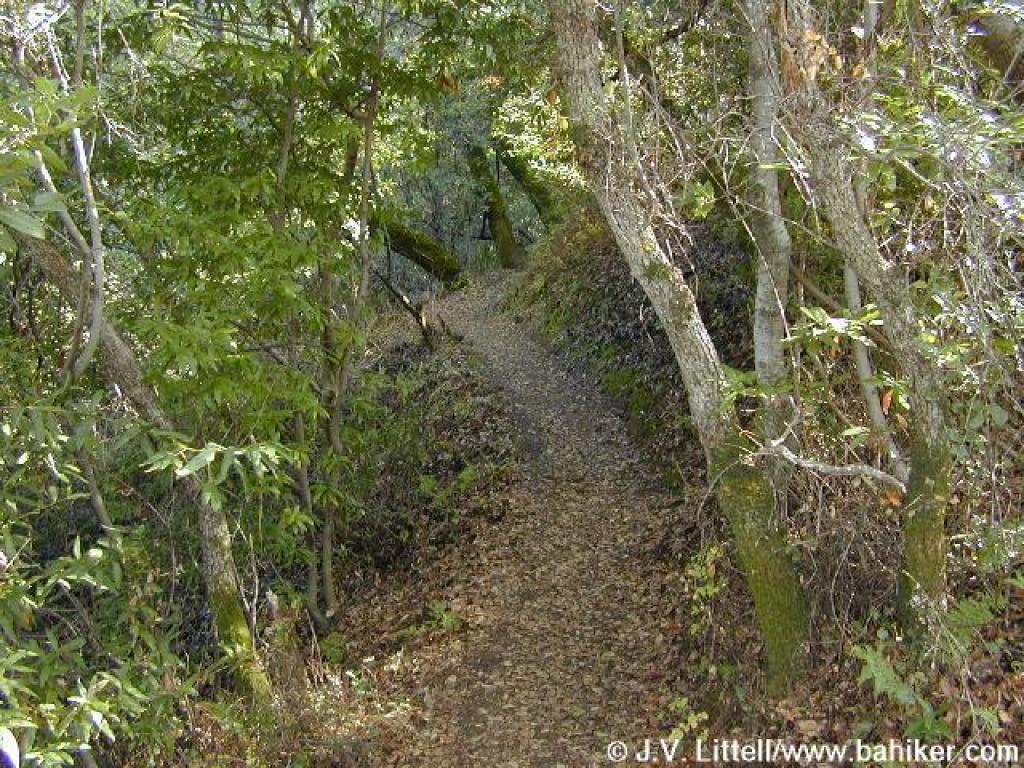 Once more, in the woods |
 Grassy spot on the side of the trail |
 Tree arches over the trail |
 Crest and park border |
||||
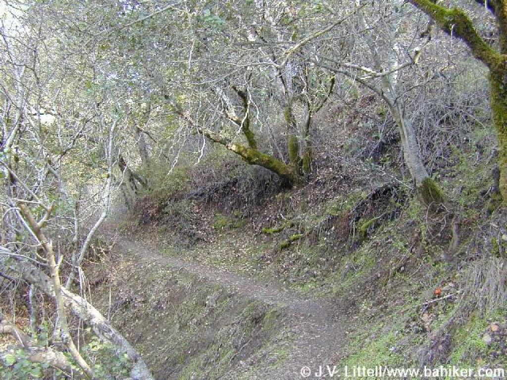
 Steep descent |
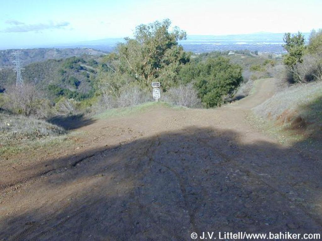
 Approaching a series of junctions |
 Vista Loop Trail |
 Junction |
||||
 Start of Coyote Ridge Trail |
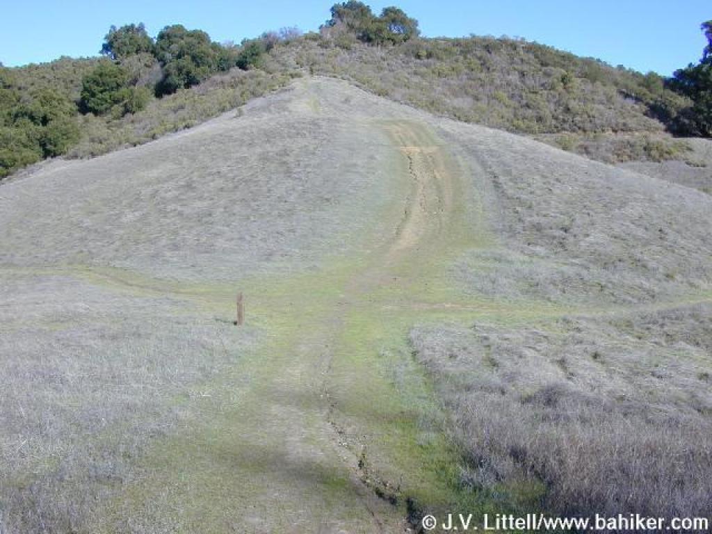
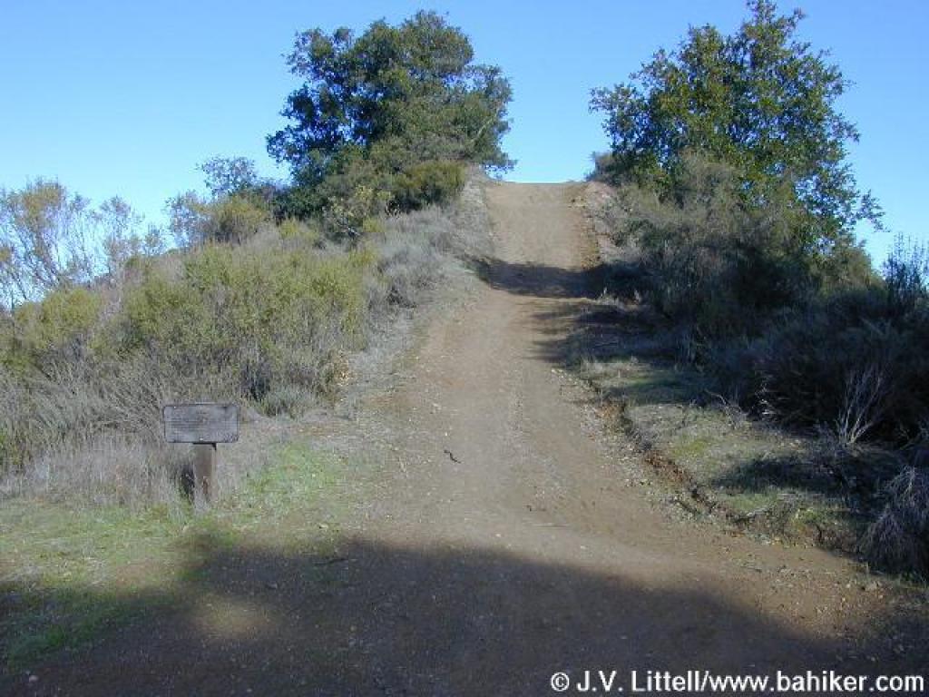
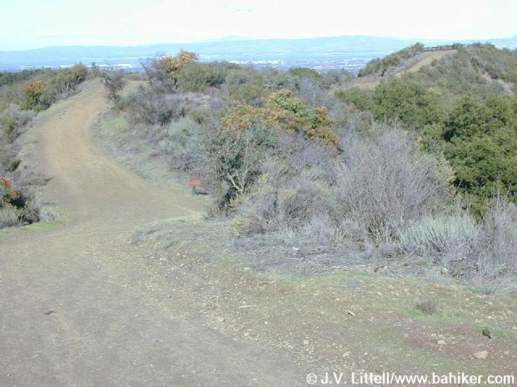
 Slight uphill stretch |
 Junction |
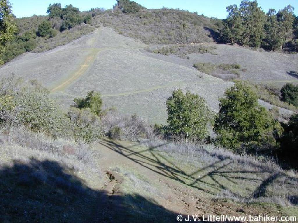
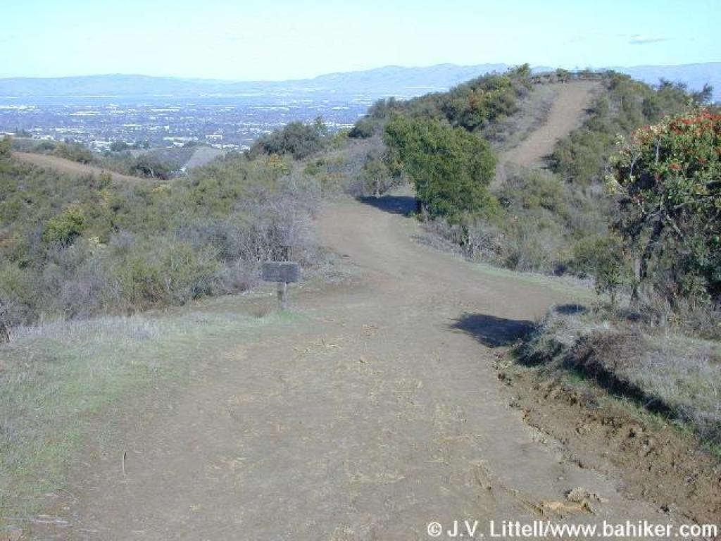
 Ascending to Maisie's Peak |
||||
 Top of the peak |
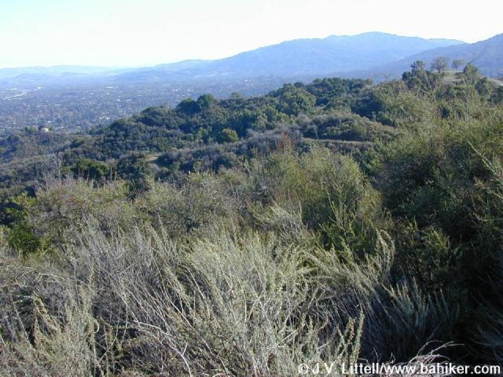 View south to Mount Umunhum |
 Returning to Coyote Ridge Trail |
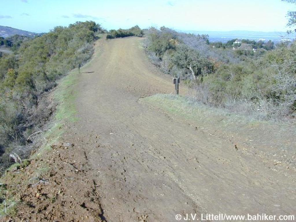
 Coyote Ridge Trail |
||||
 Junction |
 Junction |
 Junction |
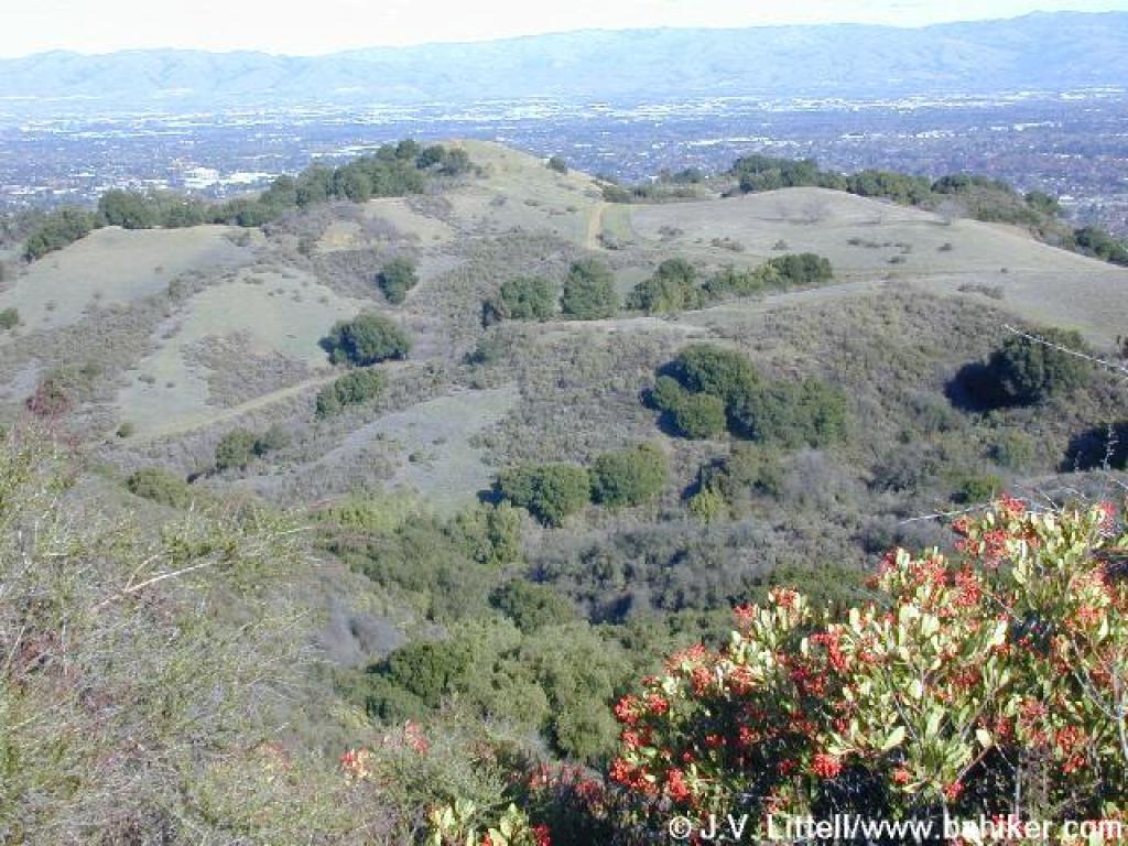 View to Fremont Older's Hunter's Point |
||||
 Coyote Ridge Trail |
 Bear left at this junction |
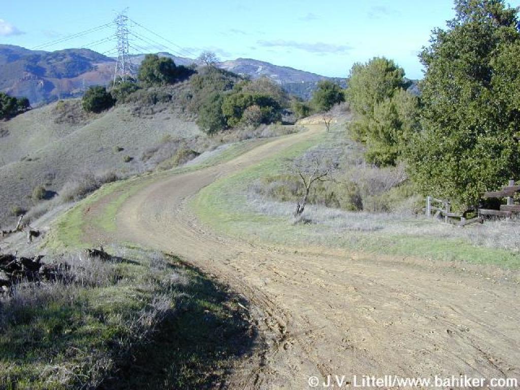
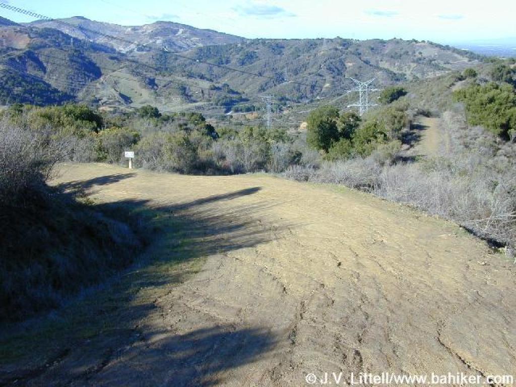
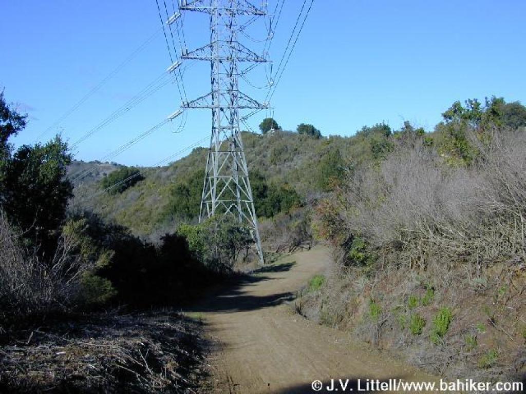 High tension power towers along the trail |
 Descending |
||||
 Junction with Stevens Creek Tony Look Trail |
 Returning to the trailhead |
Go to Bay Area Hiker Stevens Creek County Park page Go to Bay Area Hiker Home page |
|||||