| Photos
from Lost Trail, Windy Hill Open Space Preserve (click on an image for a larger view) |
|||||||
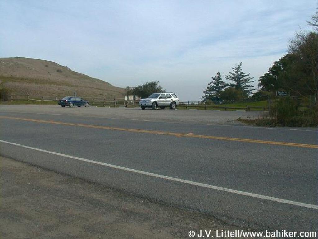 Trailhead |
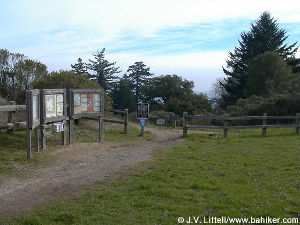 Trails start past the information signboard |
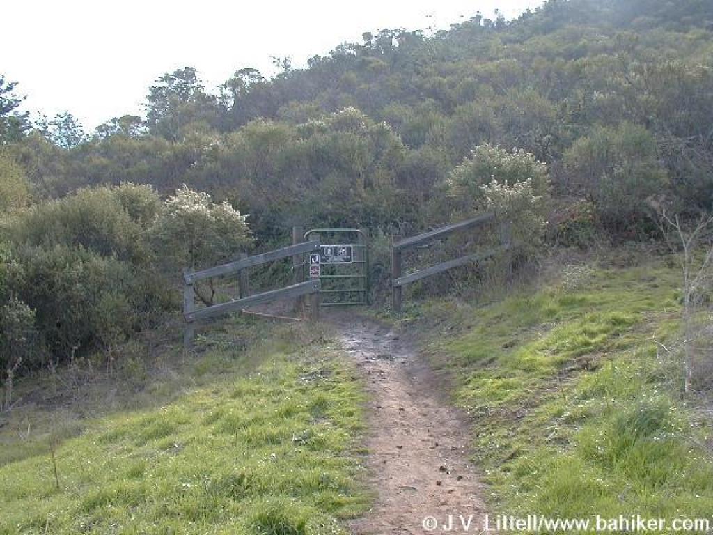 Lost Trail is closed seasonally to horses |
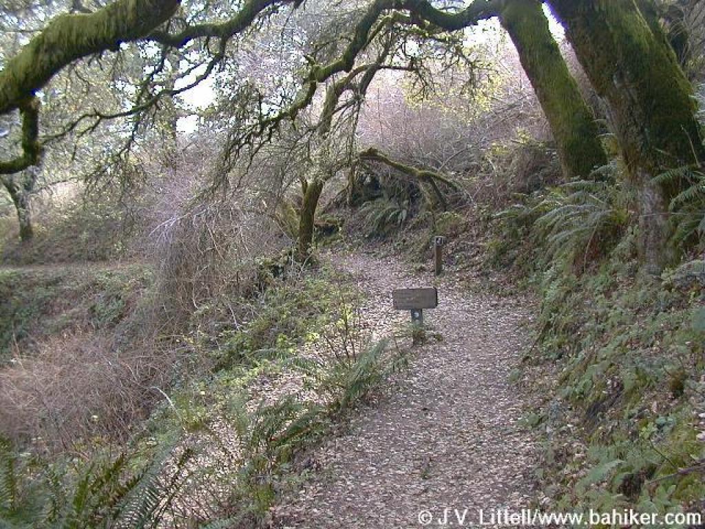
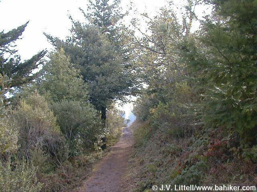 Lost Trail |
||||
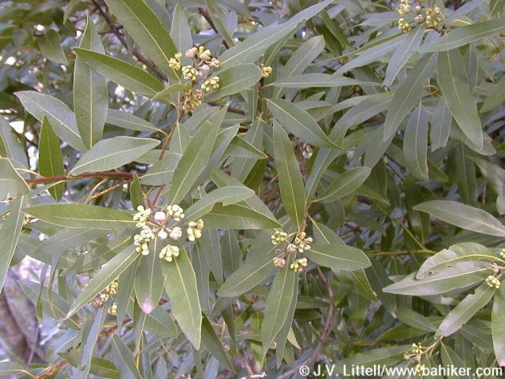 California bay |
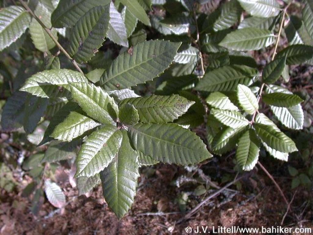 Tanoak |
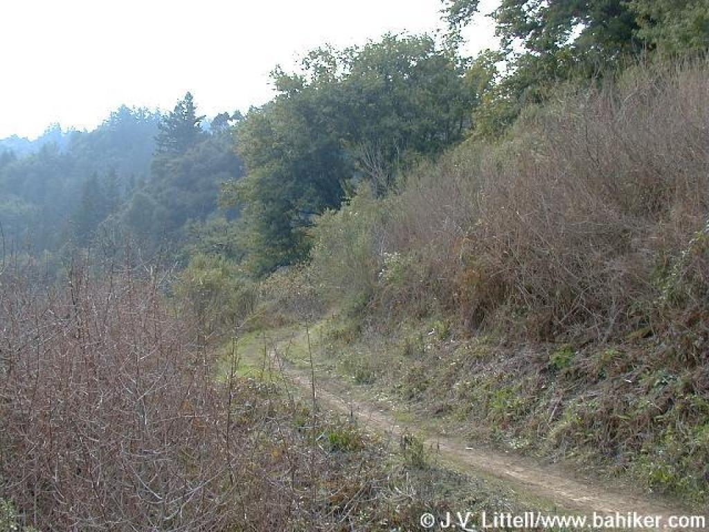
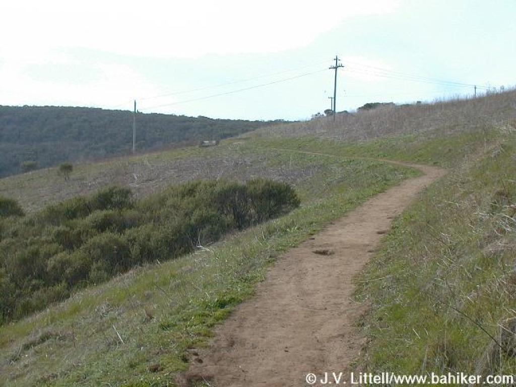 Through grassland |
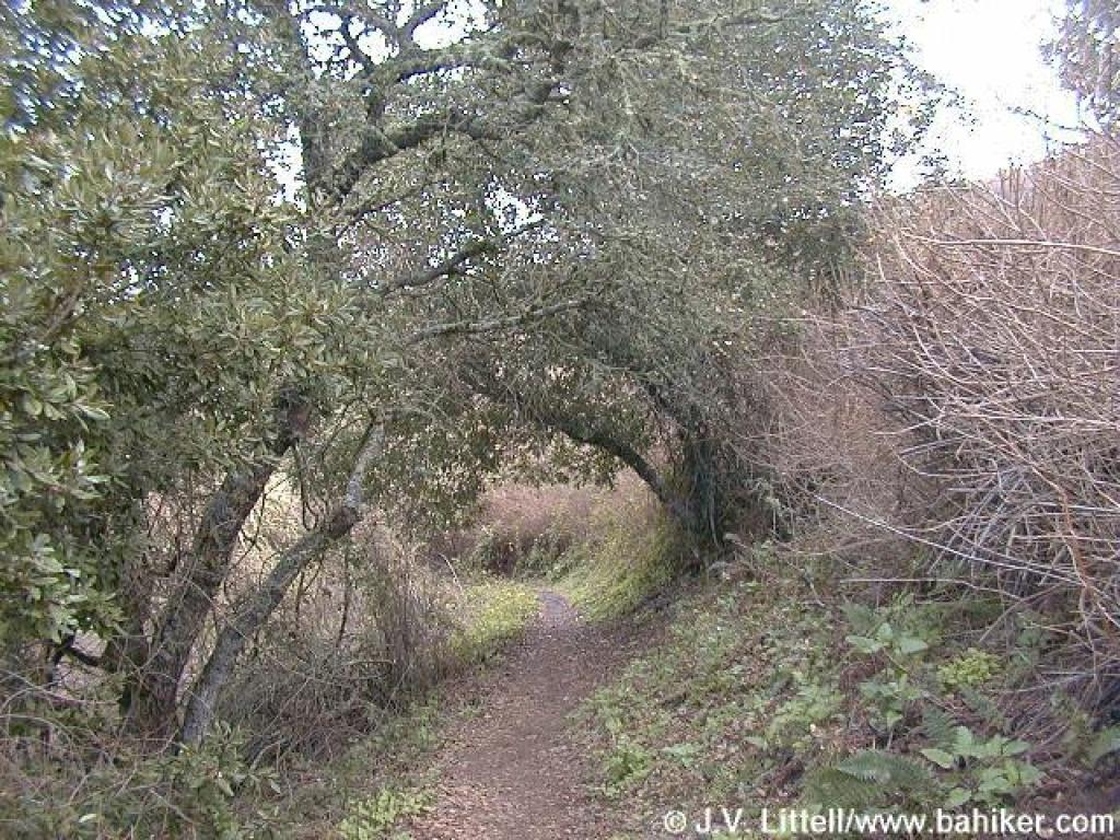 Under coast live oak |
||||
 Junction with Hamms Gulch Trail |
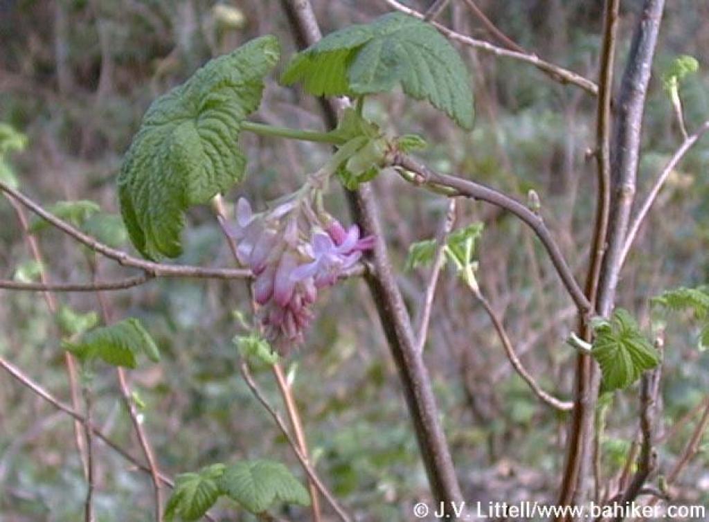 Pink flowering currant |
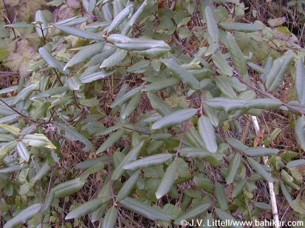 California coffeeberry |
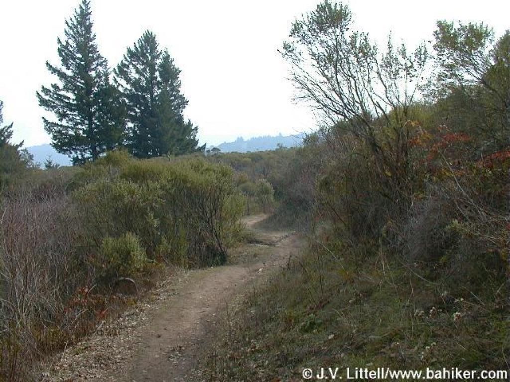 Once again, a break in the woods |
||||
 Approaching a junction |
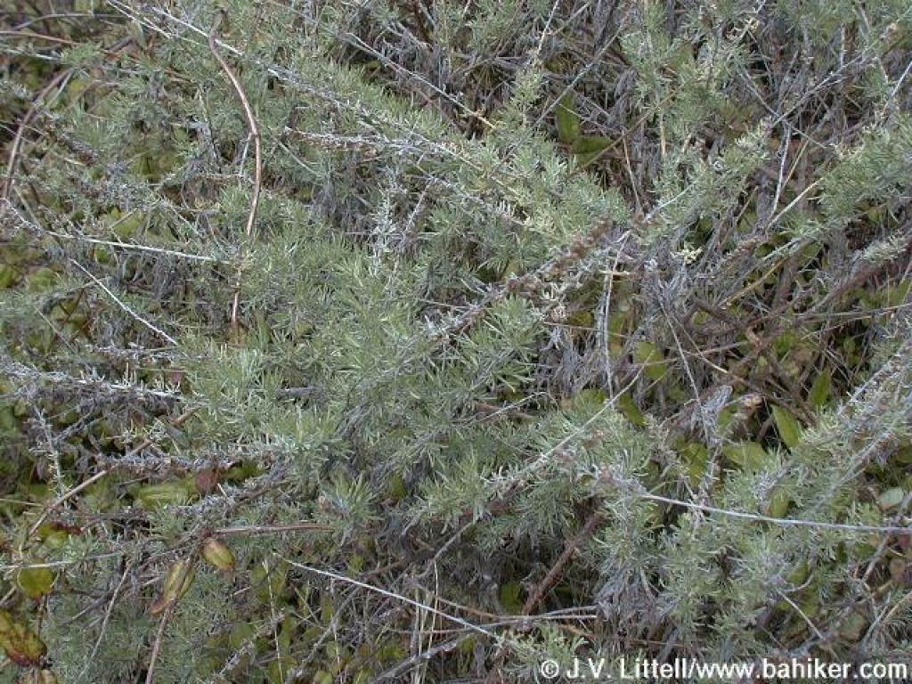 Sagebrush |
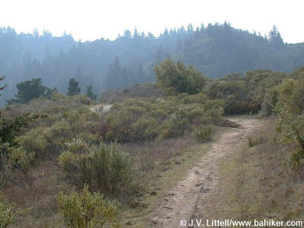
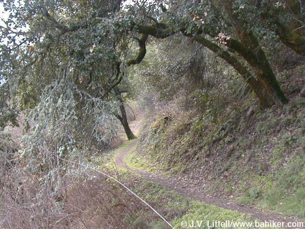
 Lost Trail begins a descent into the woods |
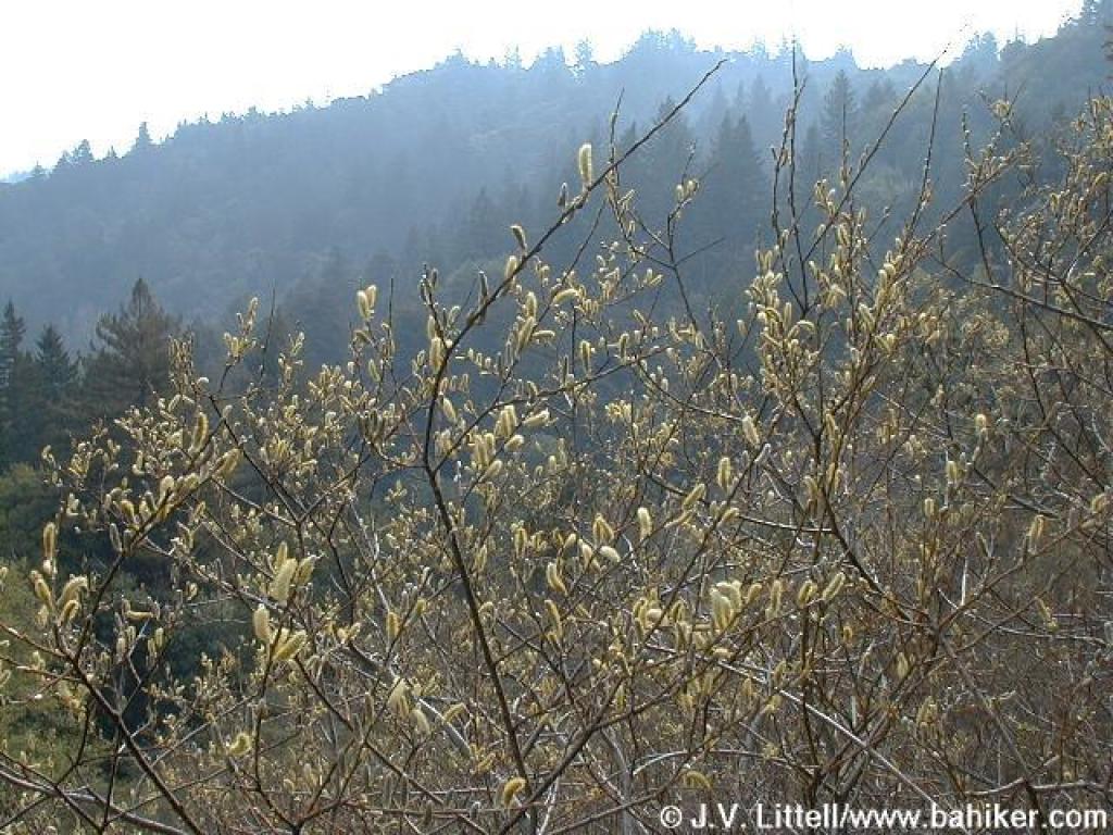 Willow |
||||
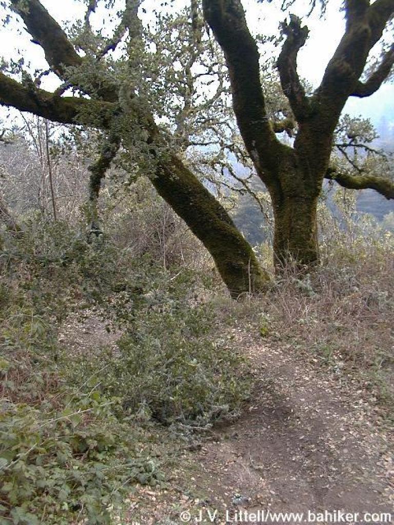 Oak blocks trail |
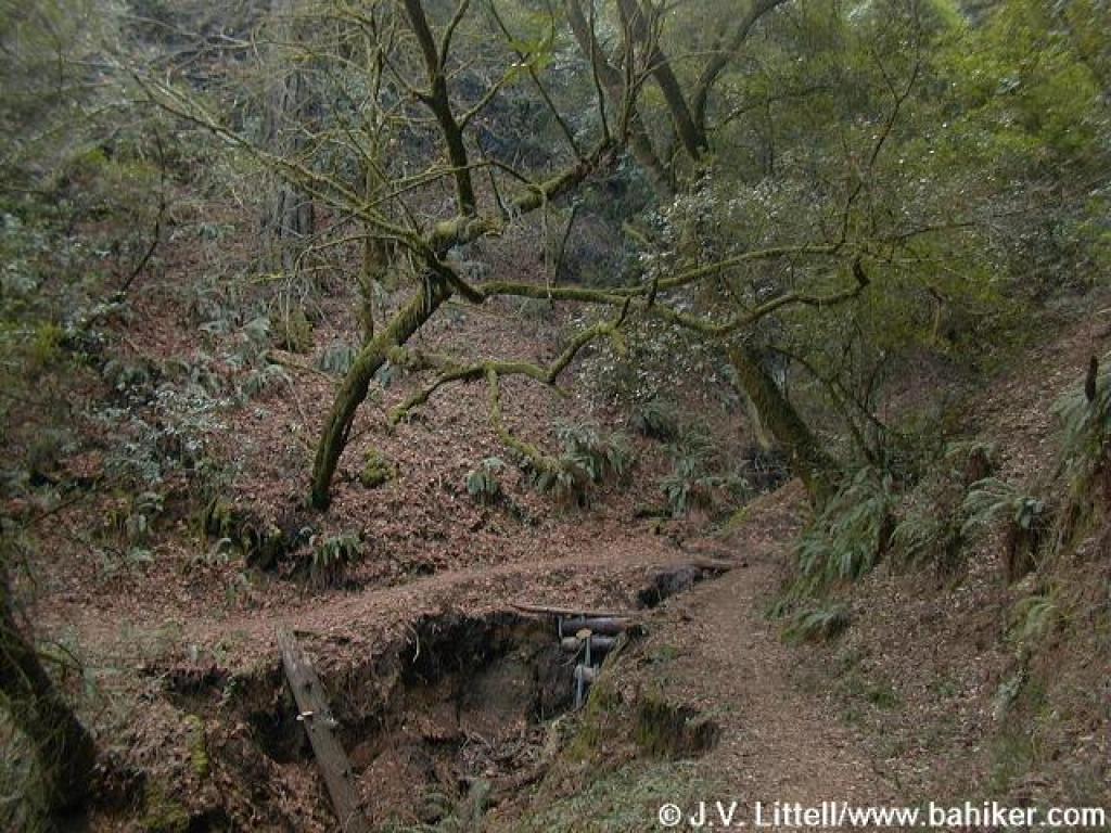
 Narrow trail winds downhill |
 Lost Trail enters California bay, tanoak, and Douglas fir woods |
 An old maple tree litters the ground with its leaves |
||||
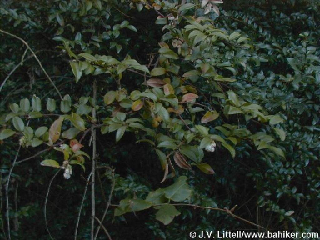 Huckleberry |
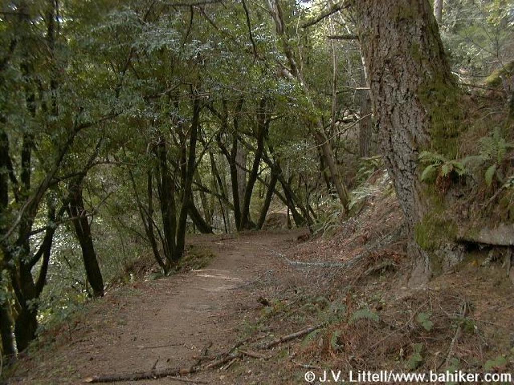
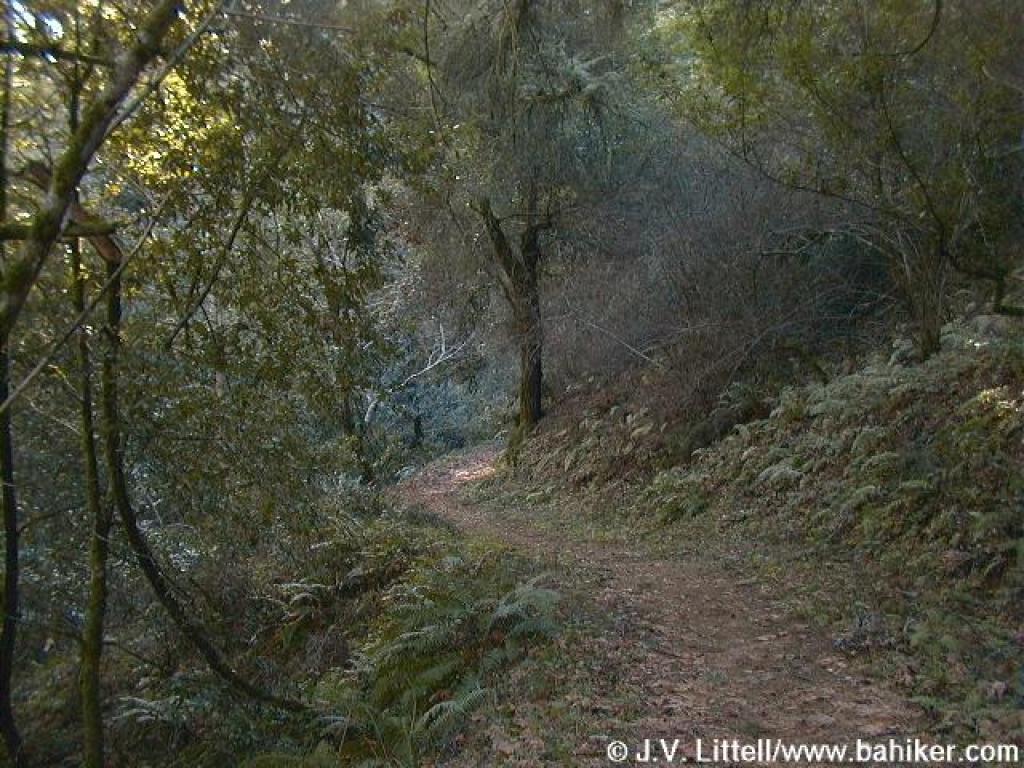 The narrow path keeps a mostly level course |
 Forget me nots |
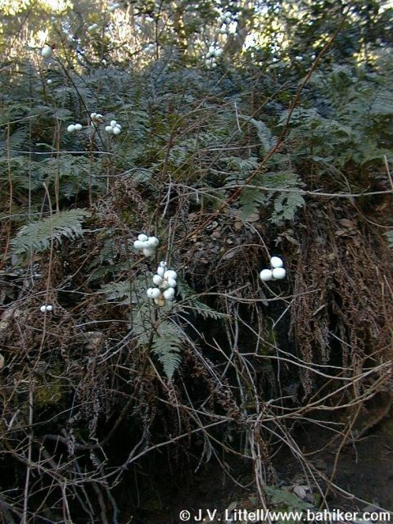 Snowberries |
||||
 Junction with Razorback Ridge Trail and turn around point |
Go to Bay Area Hiker Lost Trail page Go to Bay Area Hiker Home page |
||||||