Choose from two Samuel P. Taylor State Park trailheads and
hikes
 Hike
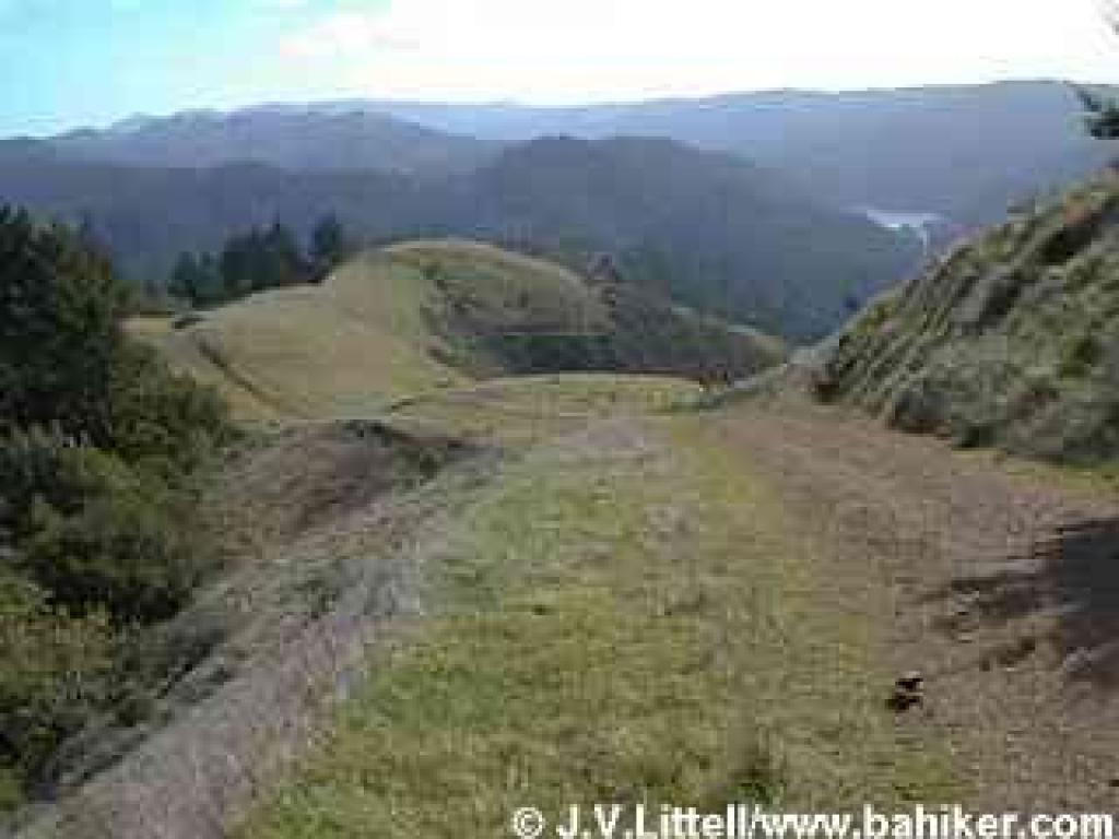
1: Barnabe Mountain
Hike
1: Barnabe Mountain
This 9 mile semi-loop hike takes you along a creek, and through deep woods,
grassy hillsides, and chaparral on fire roads to Mount Barnabe. The summit features
outstanding views, particularly of the adjacent open space lands to the south,
east, and west. Then you descend to Devil's Gulch on a gently-graded forested
path, and finish the hike on a roller-coaster trail through grassland, tanoak
and Douglas fir, and chaparral.
High points:
Barnabe Mountain is one of the best viewpoints in Marin County. Bill's Trail
is a charming and carefully engineered path that makes the 1000 foot descent
a pleasure. Although this is a long and tough hike, there are a few opportunities
to shorten it by choosing alternate trails.
Low points:
Some parts of the Riding and Hiking Trail are rutted, muddy, and ramble up and
down in a manner best suited to equestrians (or goats).
• View 53 photos from this hike.
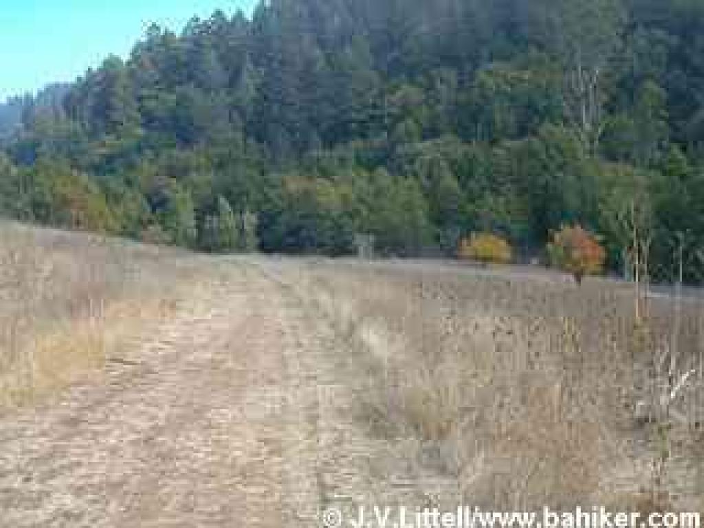 Hike
2: Devil's Gulch
Hike
2: Devil's Gulch
This easy 4-mile out-and-back hike is really fun in autumn, when some old pear
trees in a meadow boast stunning foliage. In spring there are wildflowers throughout
the grassland and woods. Devil's Gulch Trail is almost level, so this is a good
choice for beginning hikers. This trailhead also is the park's easiest starting
point for an out-and-back hike to Stairstep Falls.
High points:
You'll see a little of everything Samuel P. Taylor has to offer: creeks, grassland,
and woods. This is the quietest part of the park, particularly in winter.
Low points:
There is an emphasis on equestrians here, so if you aren't a horse person, you
may want to hike elsewhere.
Go to Bay Area Hiker Home page