| Photos
from a December 2000 hike at Arastradero Preserve (click on any image for a larger view) |
|||||||
 Parking lot |
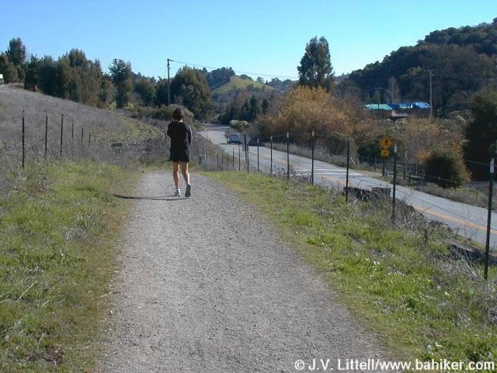 A path runs along the road, before crossing over to the preserve entrance |
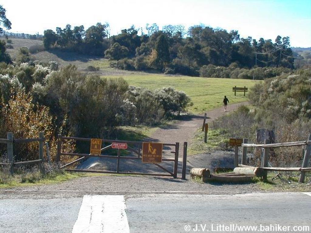 A gate marks the entrance |
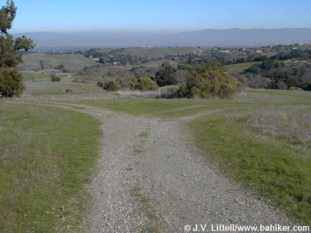
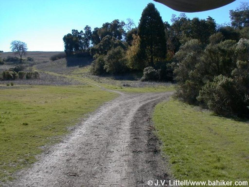 Approaching an unmarked junction; stay to the right on Corte Madera Trail |
||||
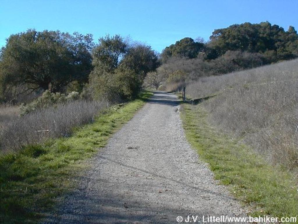
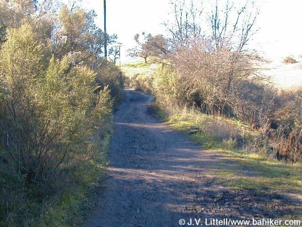 Corte Madera Trail |
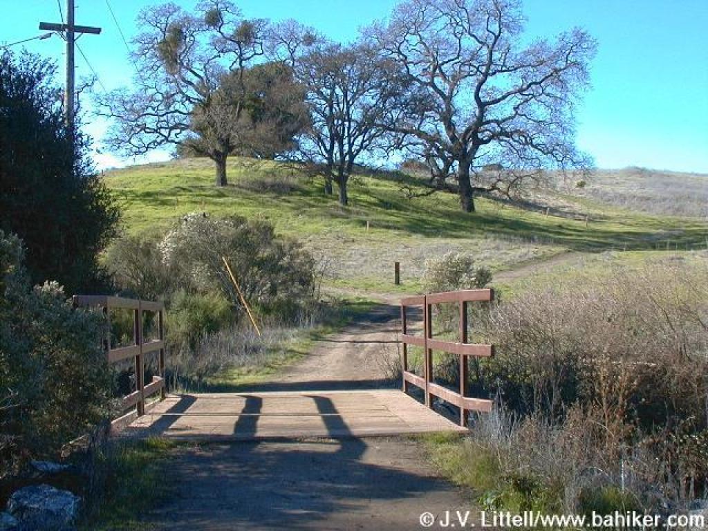 After crossing a bridge, you reach a signed junction; stay to the left |
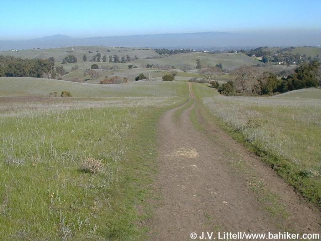
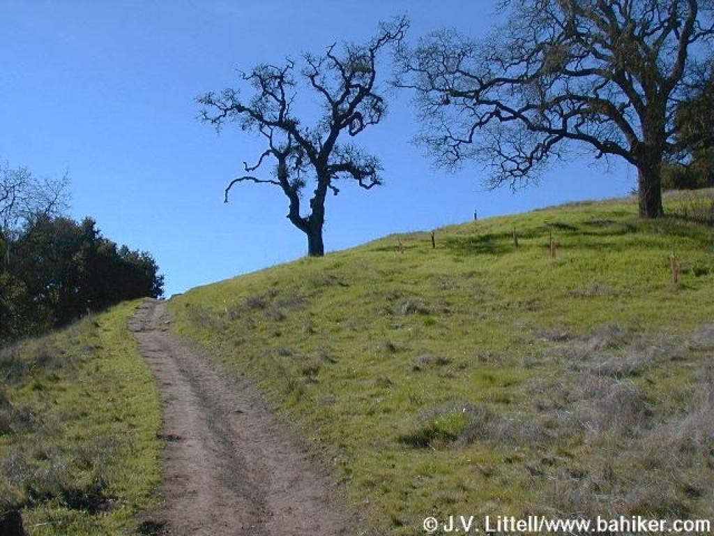 The trail climbs past some oaks |
 Corte Madera Trail draws near Arastradero Pond |
||||
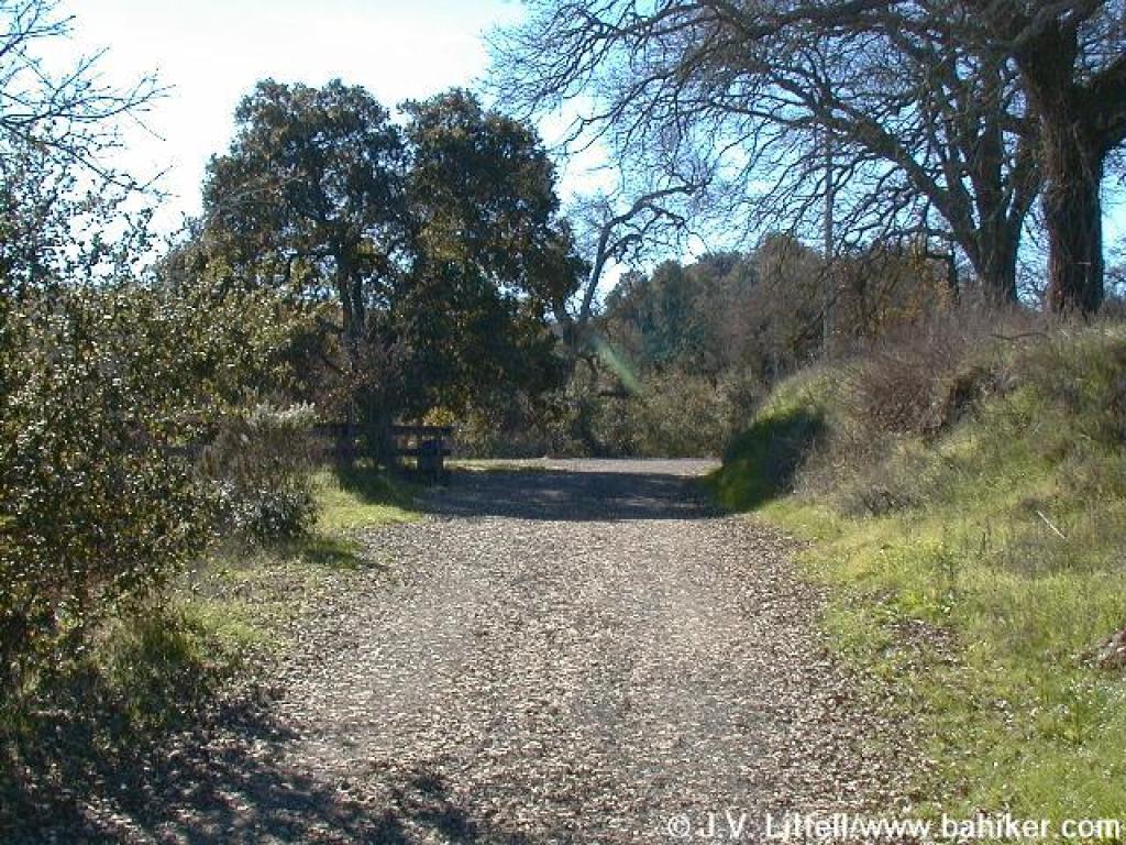
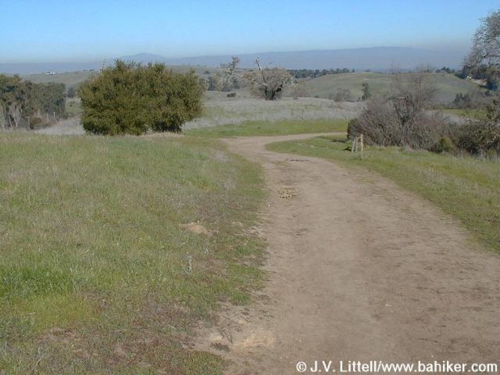
 Another unsigned junction; stay to the left |
 The path around the pond ends and feeds into Corte Madera Trail |
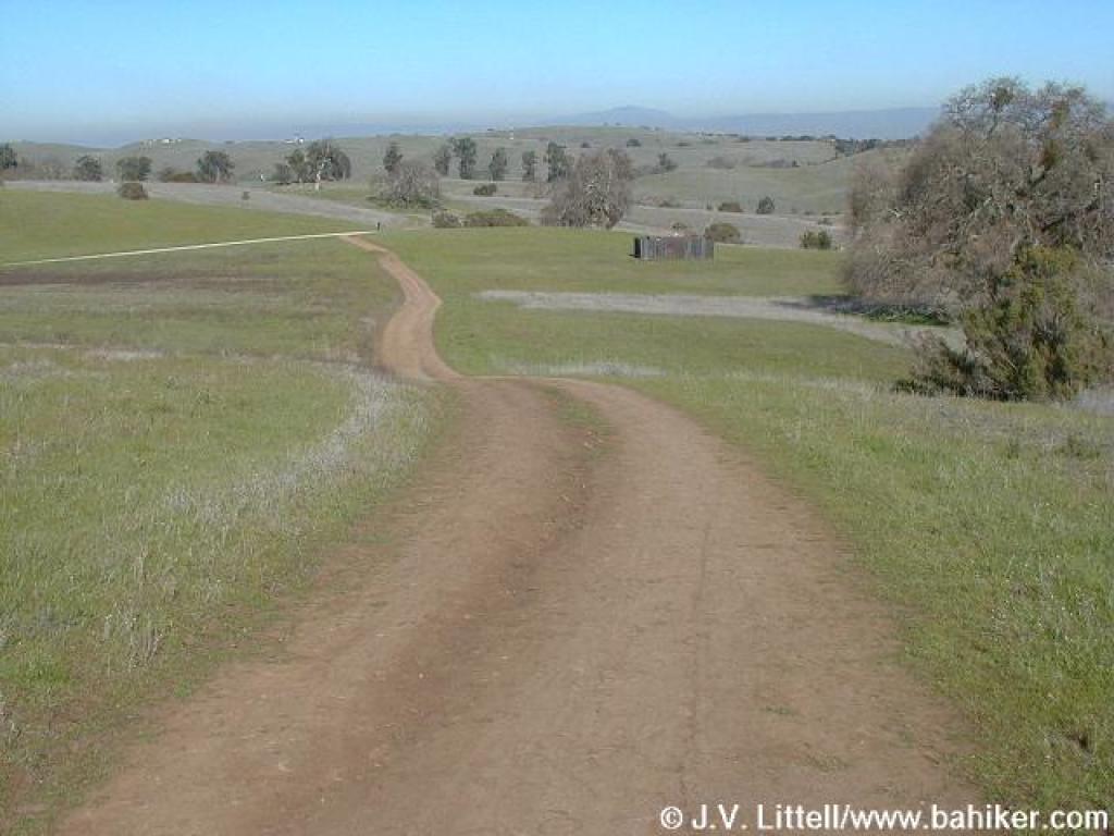
 A slight climb on Corte Madera Trail |
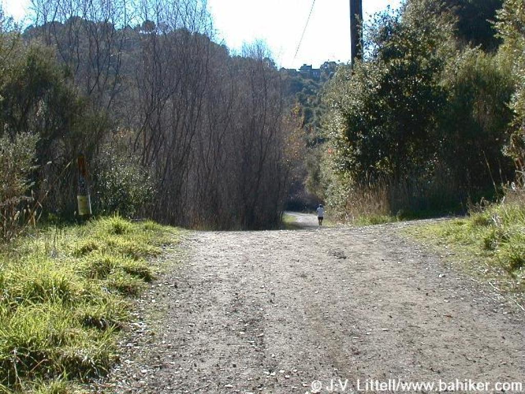
 The old routing of Acorn Trail |
||||
 Approaching the new Acorn segment |
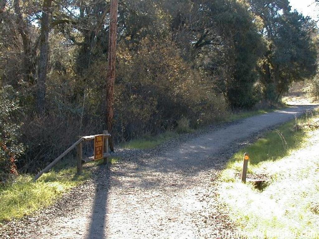
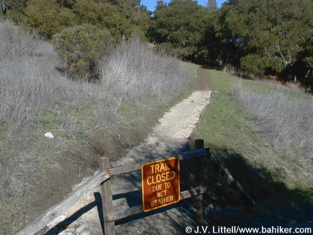 New Acorn Trail is subject to seasonal closure |
 Junction with another trail named Acorn; turn right |
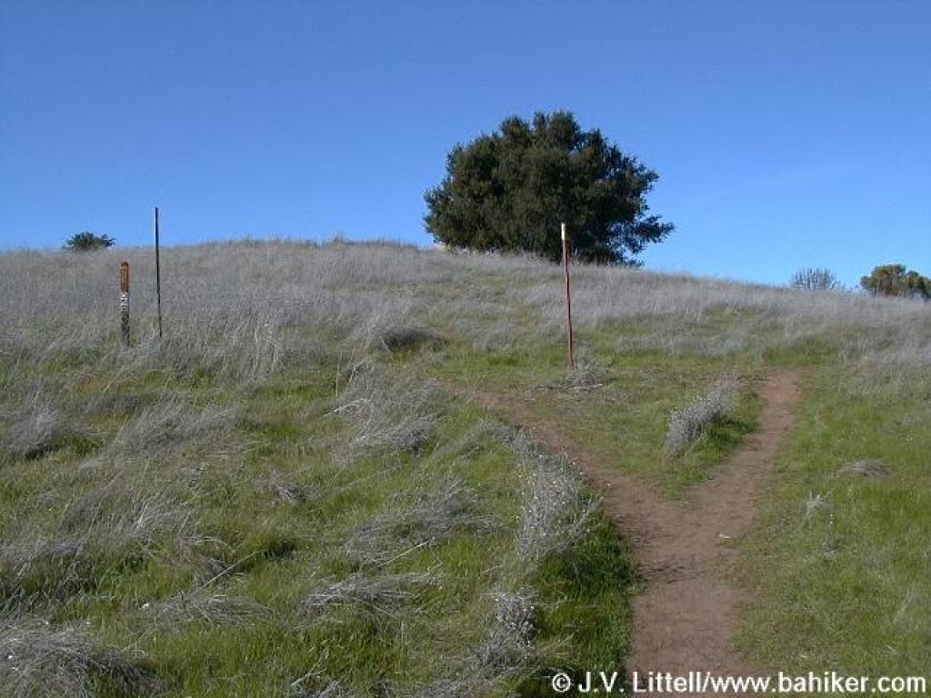
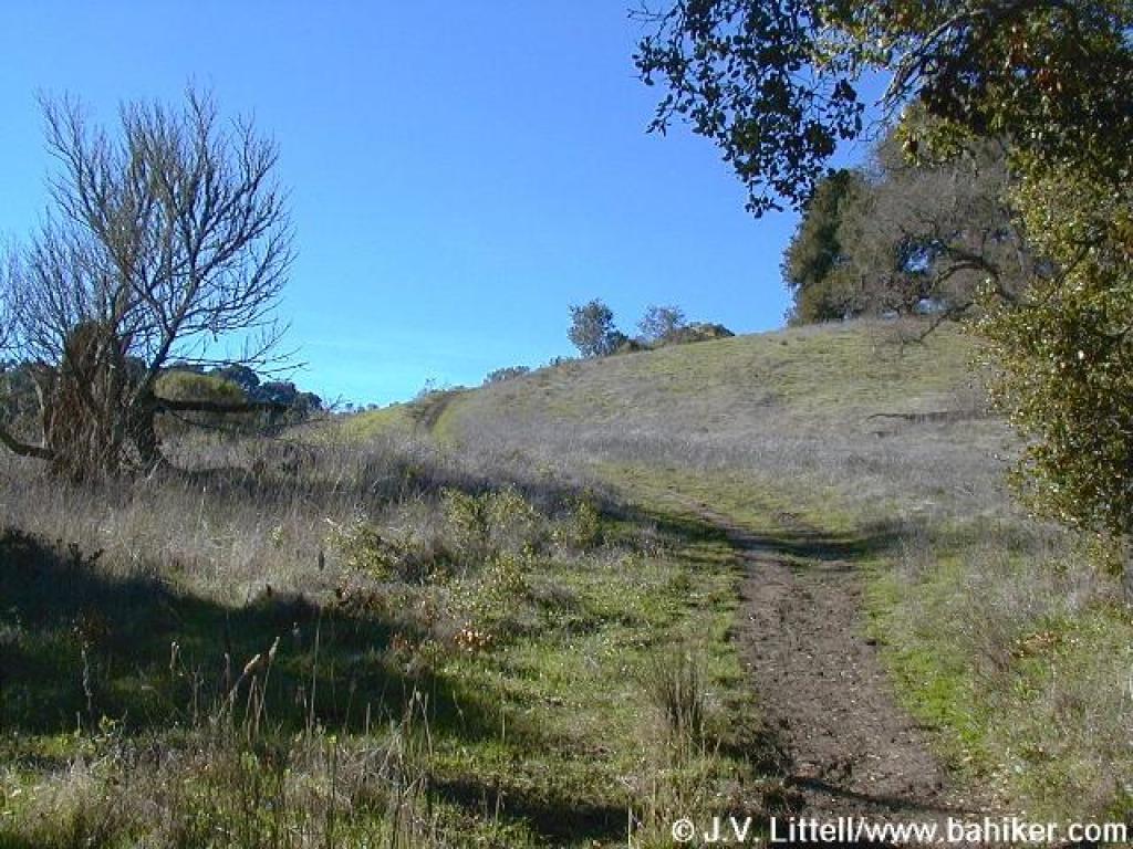 A steep ascent through oak grassland |
||||
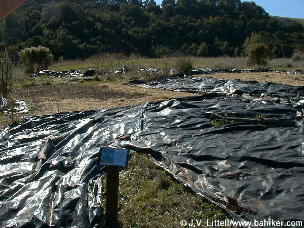 Teasel research site |
 Junction |
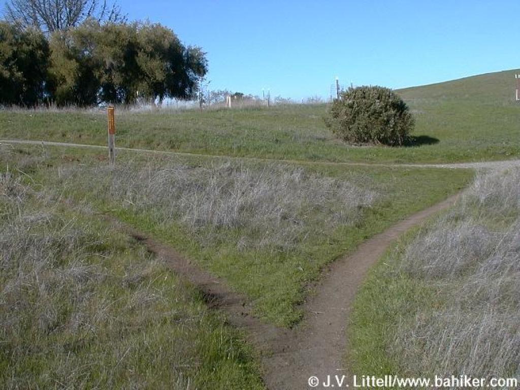 Another junction |
 Meadowlark Trail |
||||
 Junction |
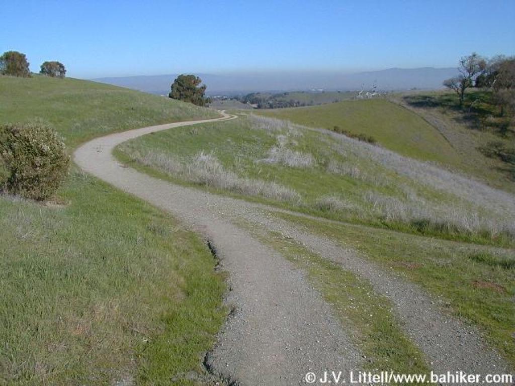
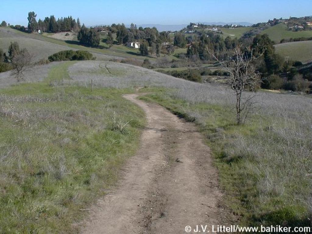
 Descending on Meadlowlark Trail |
 Approaching junction with new Acorn Trail segment |
 Meadowlark Trail |
||||
 Junction with Service Road; continue straight on Meadowlark Trail |
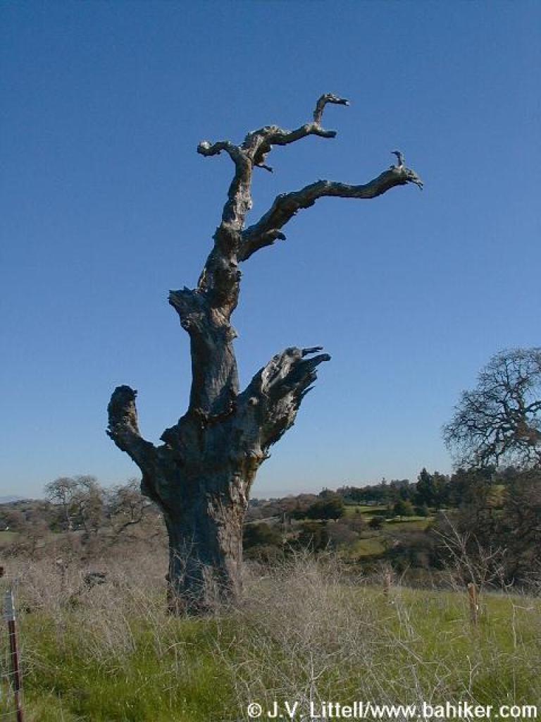 An old dead oak |
 Meadlowlark Trail drifts downhill and ends at Corte Madera Trail |
Go to Bay Area Hiker Arastradero page Go to Bay Area Hiker Home page |
||||