| Photos
from a December 2001 hike at Blithedale Summit Open Space Preserve &
Mount Tamalpais (click on any image for a larger view) |
|||||||
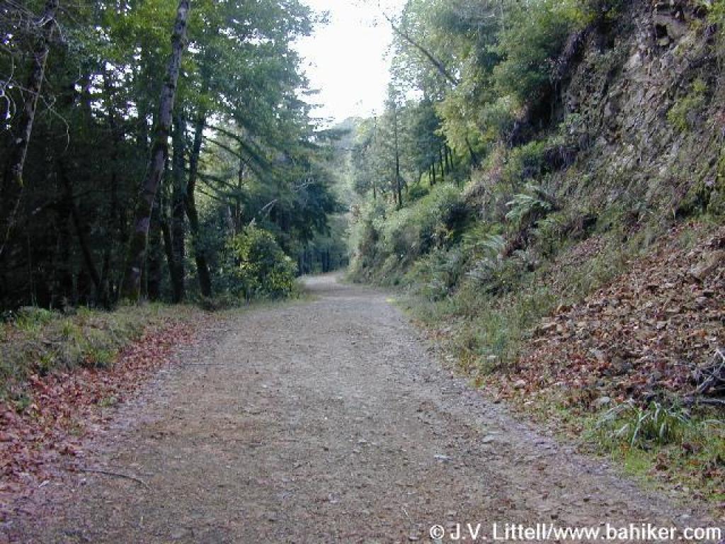
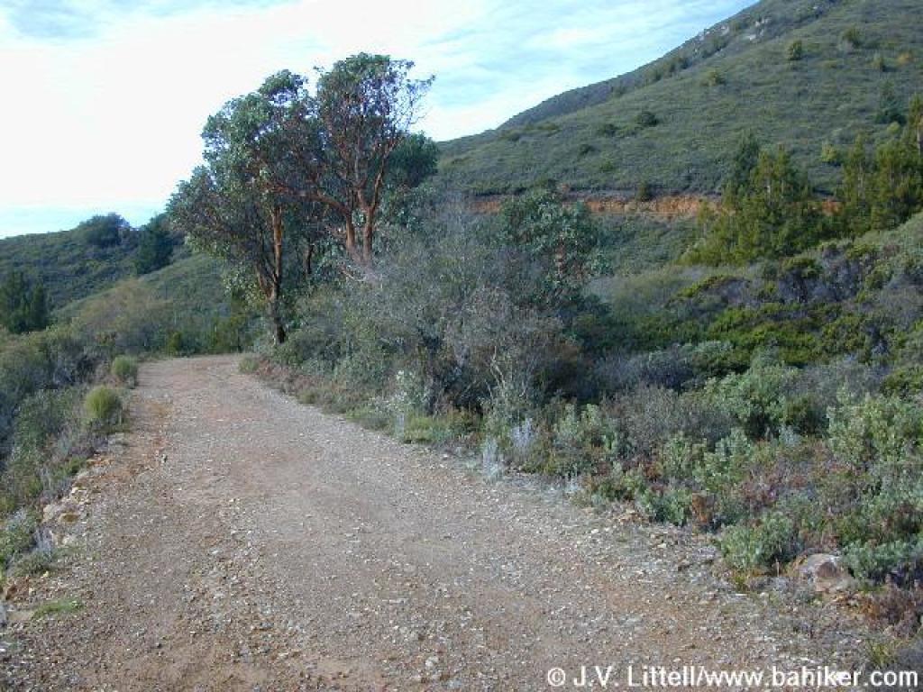
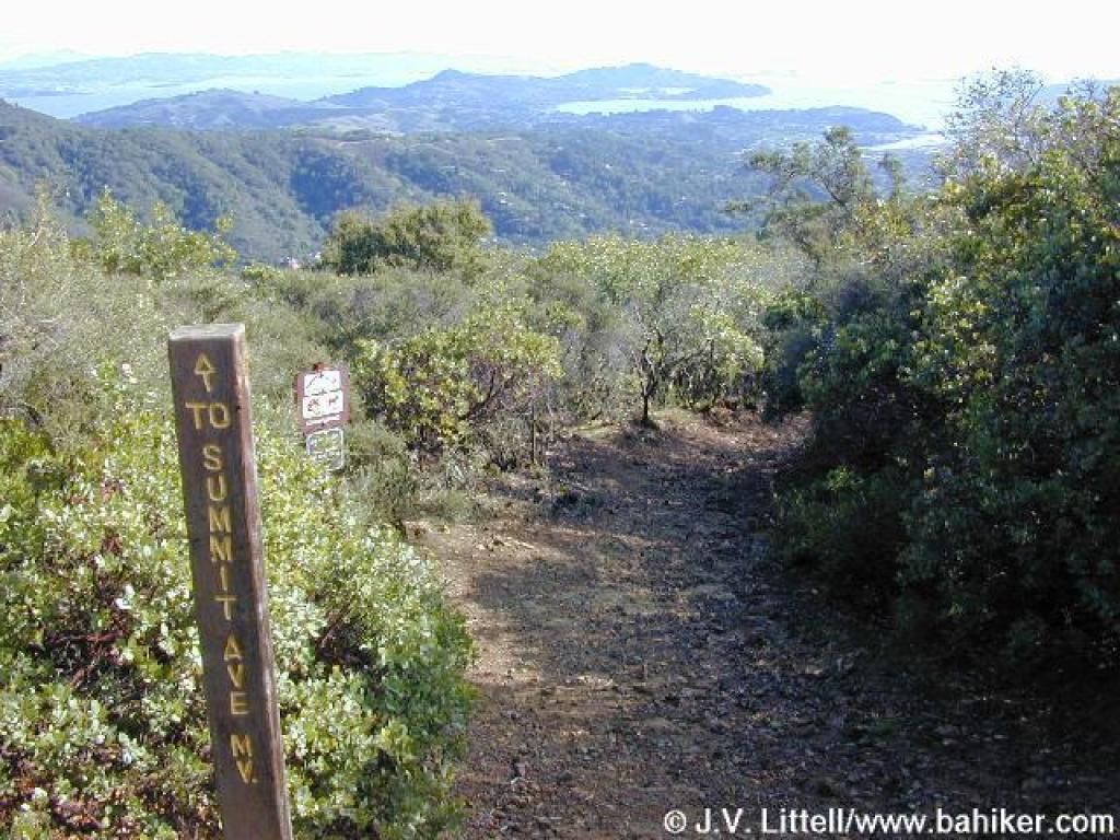
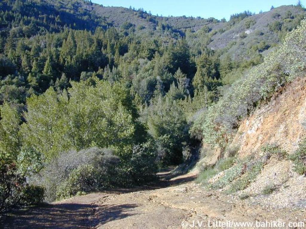
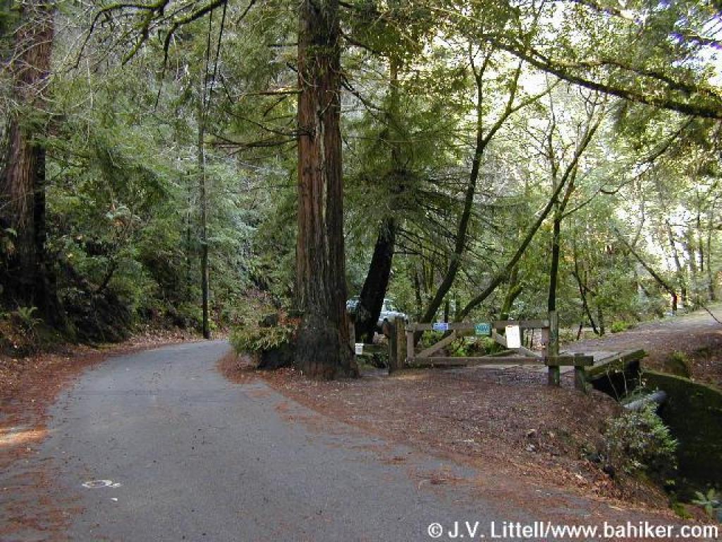 Trailhead |
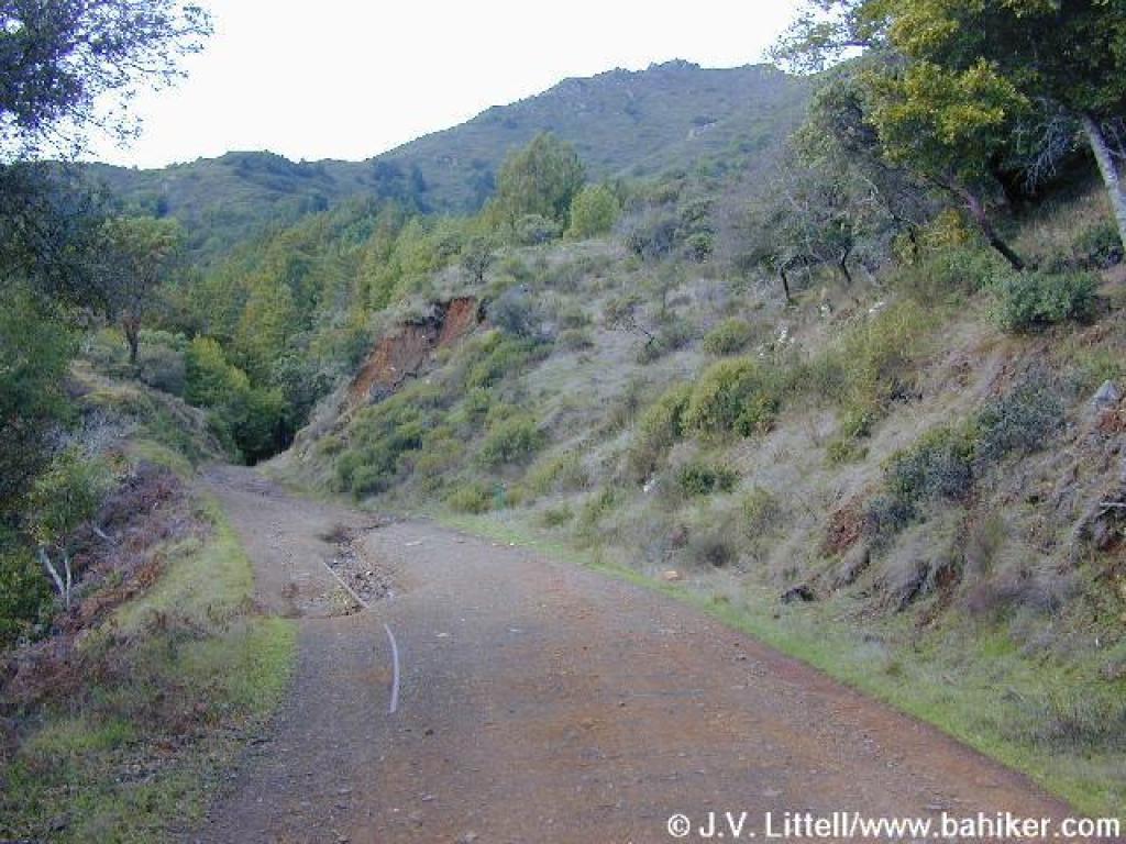
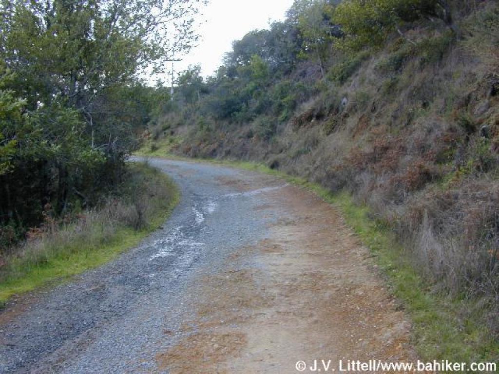
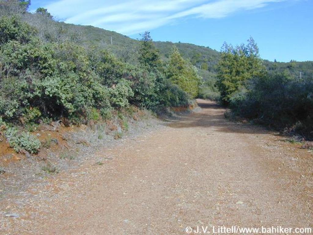
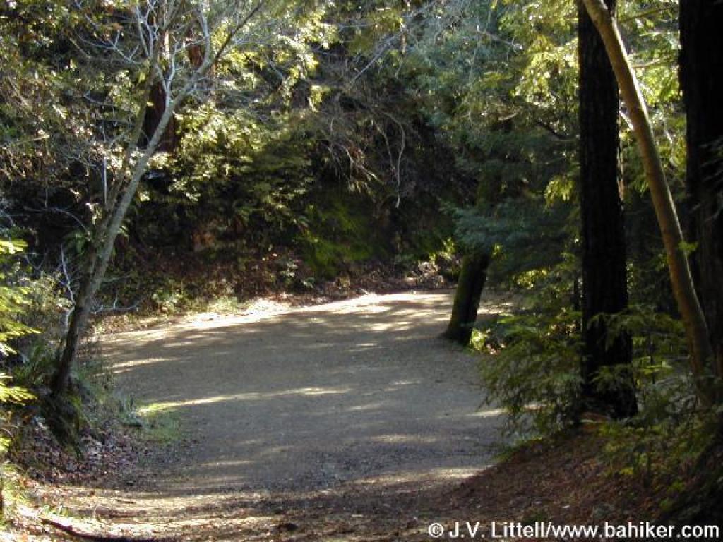
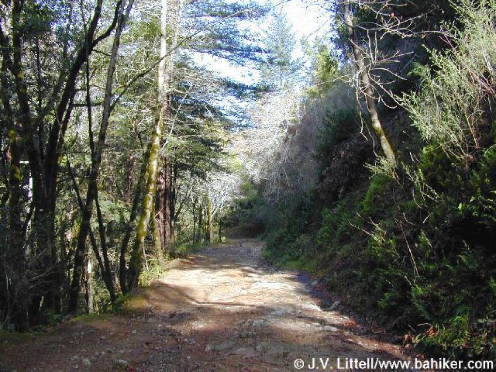 Old Railroad Grade |
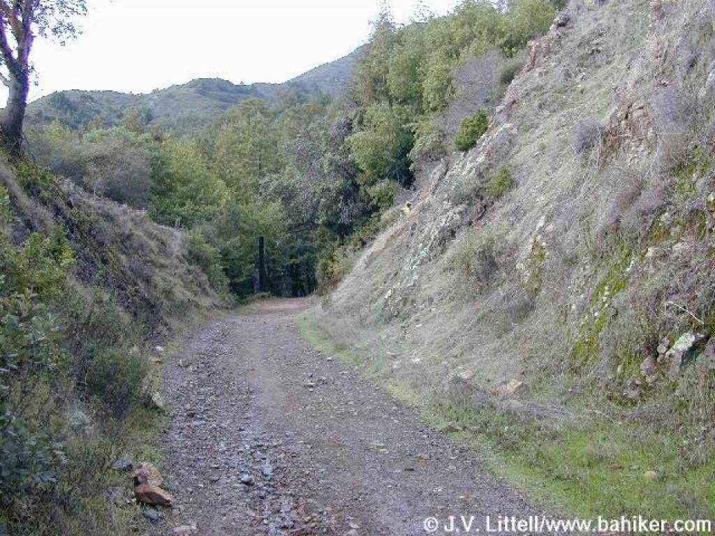
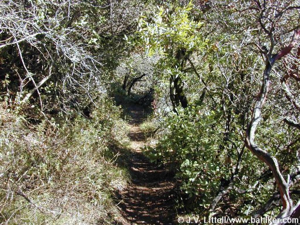
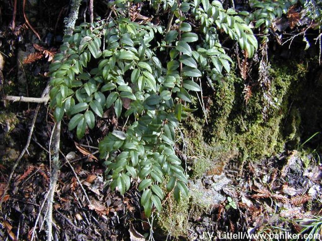 Huckleberry |
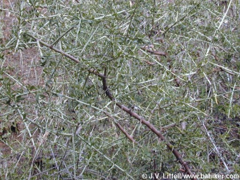
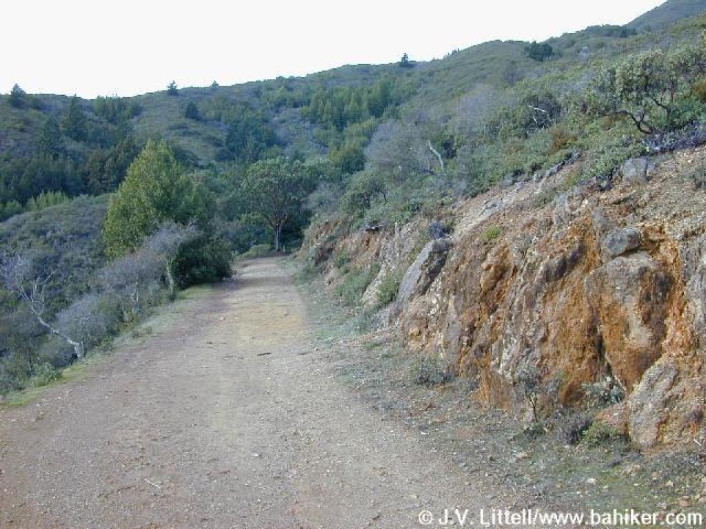
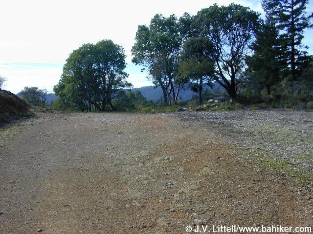
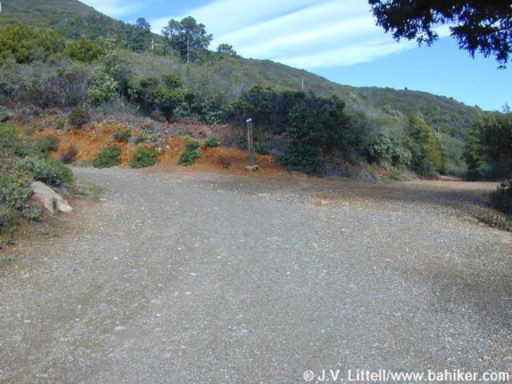
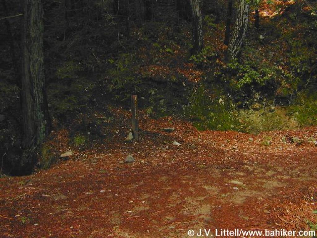
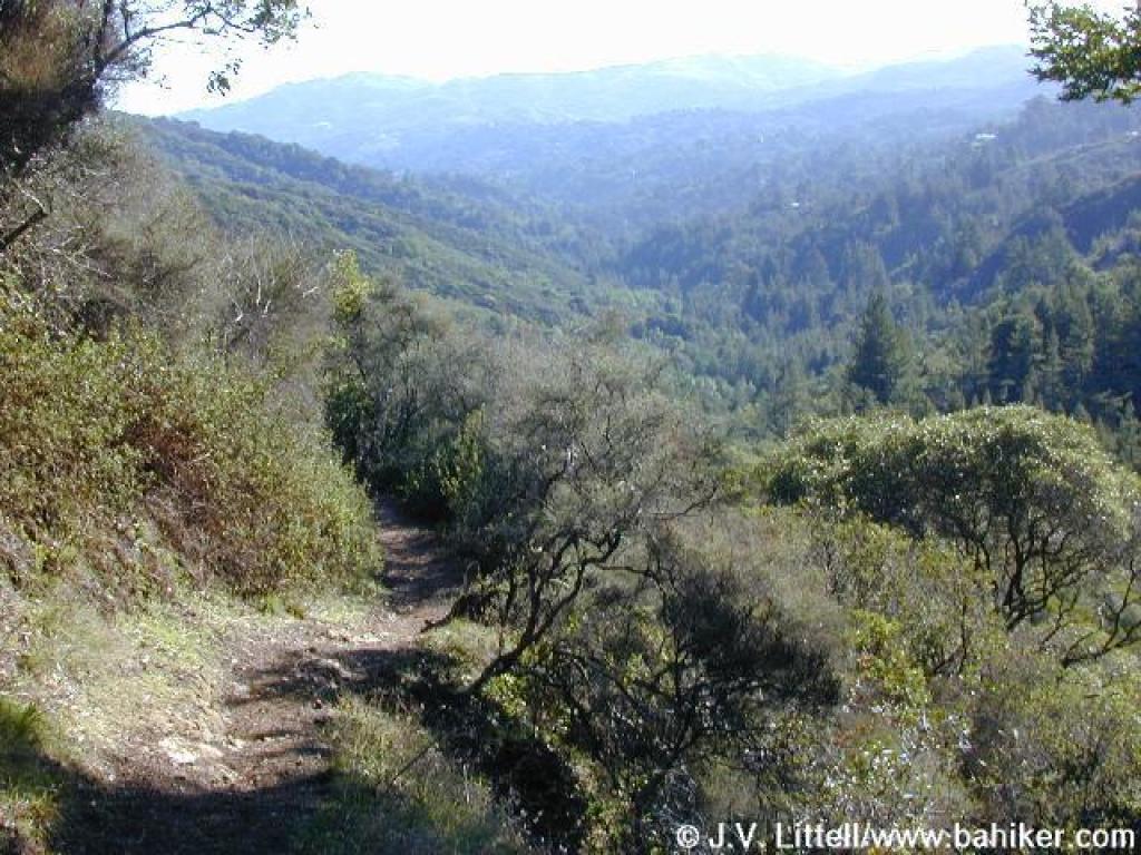
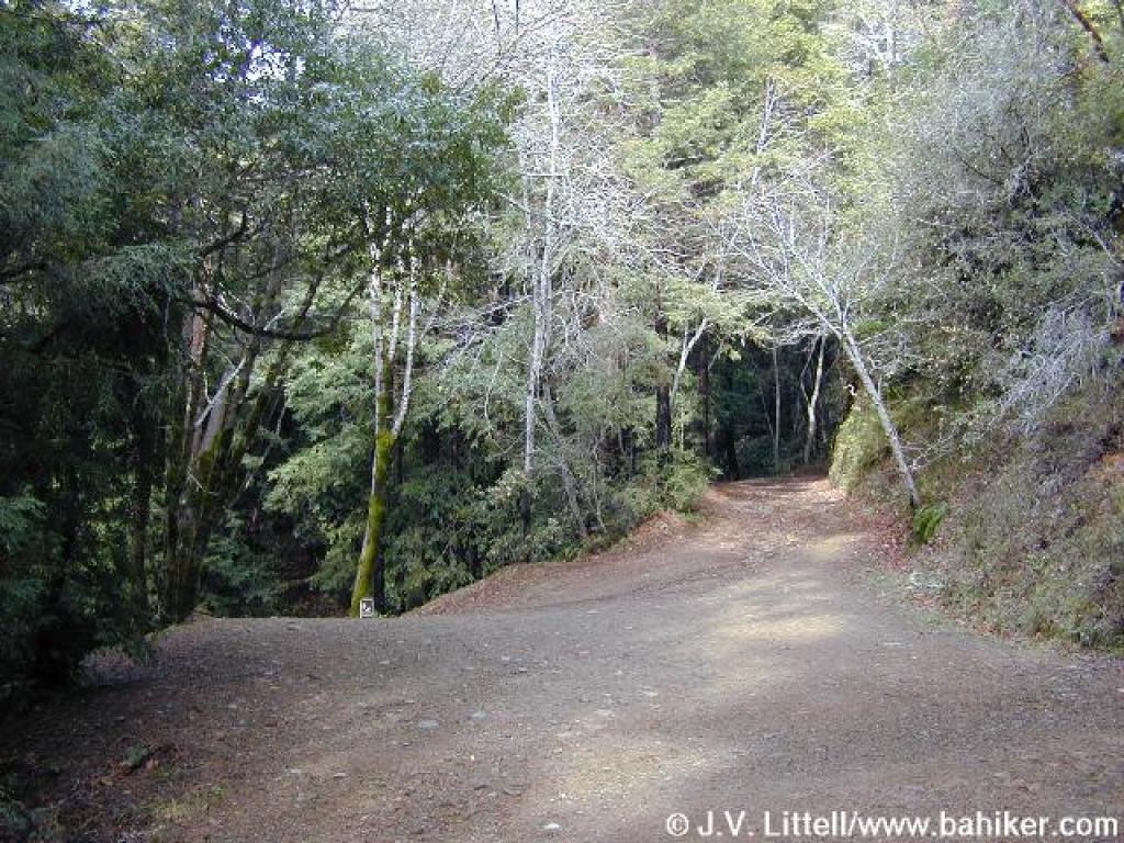 Junction with Horseshoe Fire Road |
||||
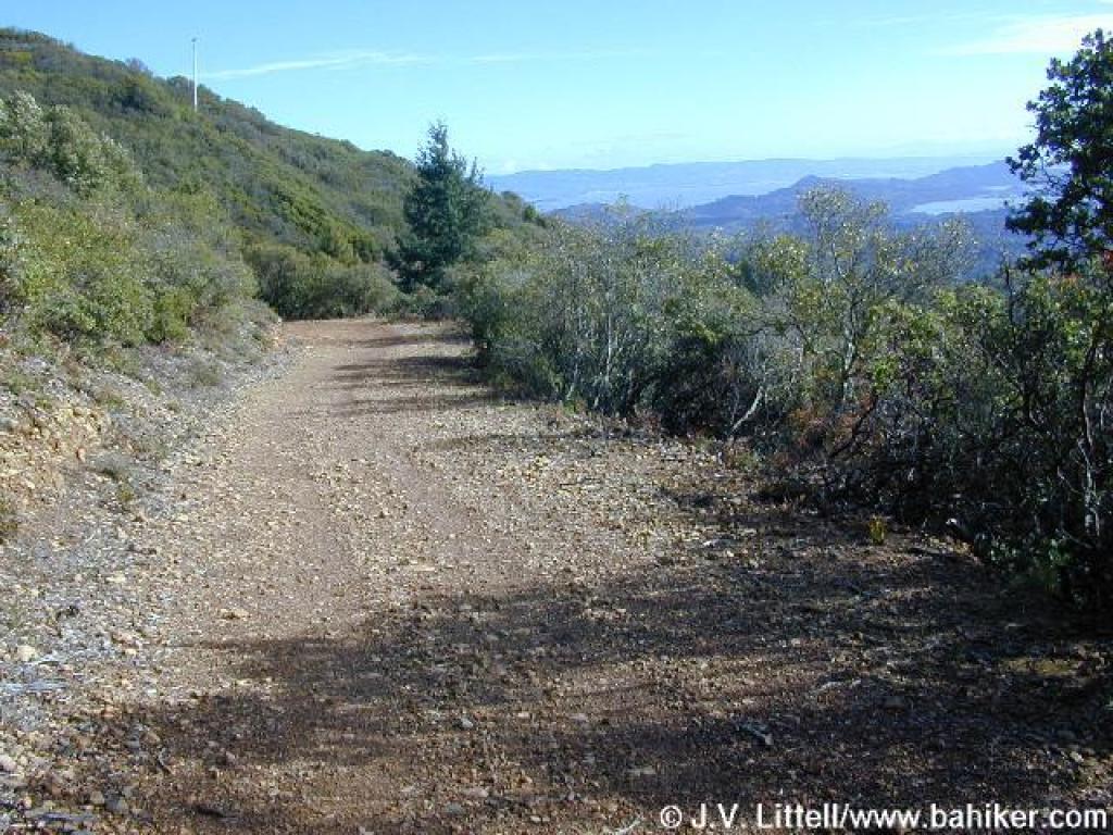
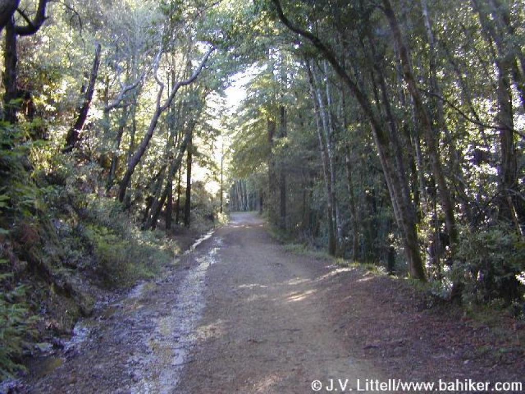
 Old Railroad Grade |
 View to East Peak from the trail |
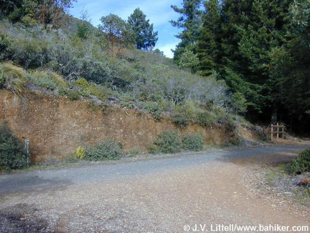
 The cuts in the hillsides made for the railroad tracks keep the ascent easy |
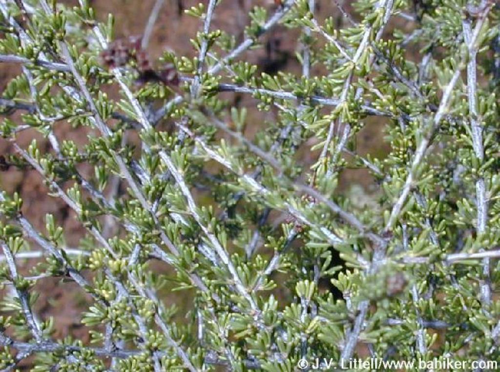
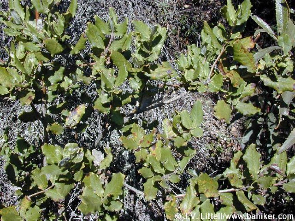
 Chaparral pea |
||||
 Chaparral lines the trail |
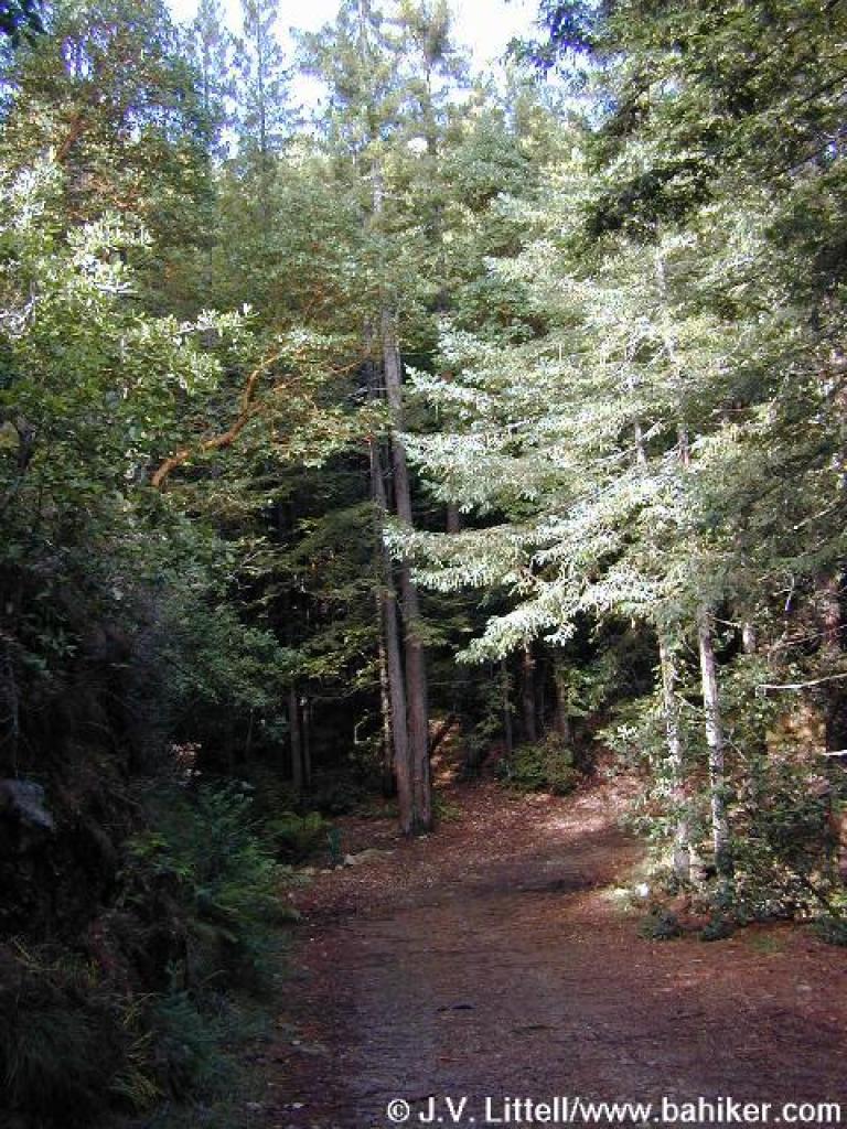
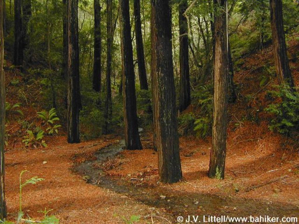 Redwoods |
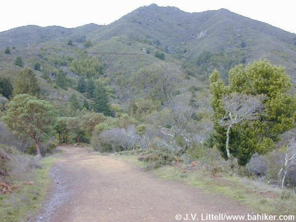 Great views to the summit |
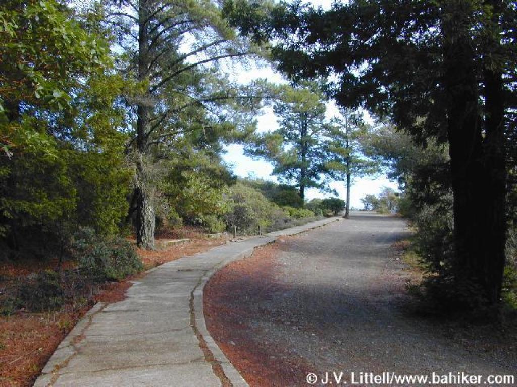
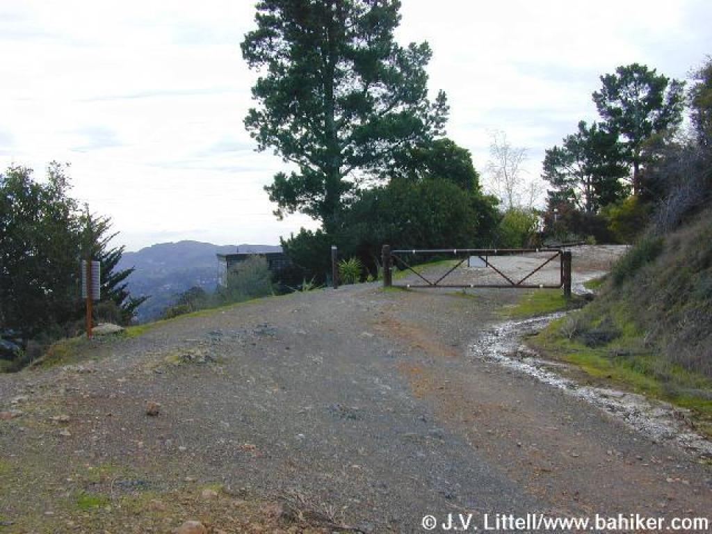 Gate marks a transition to a paved section |
||||
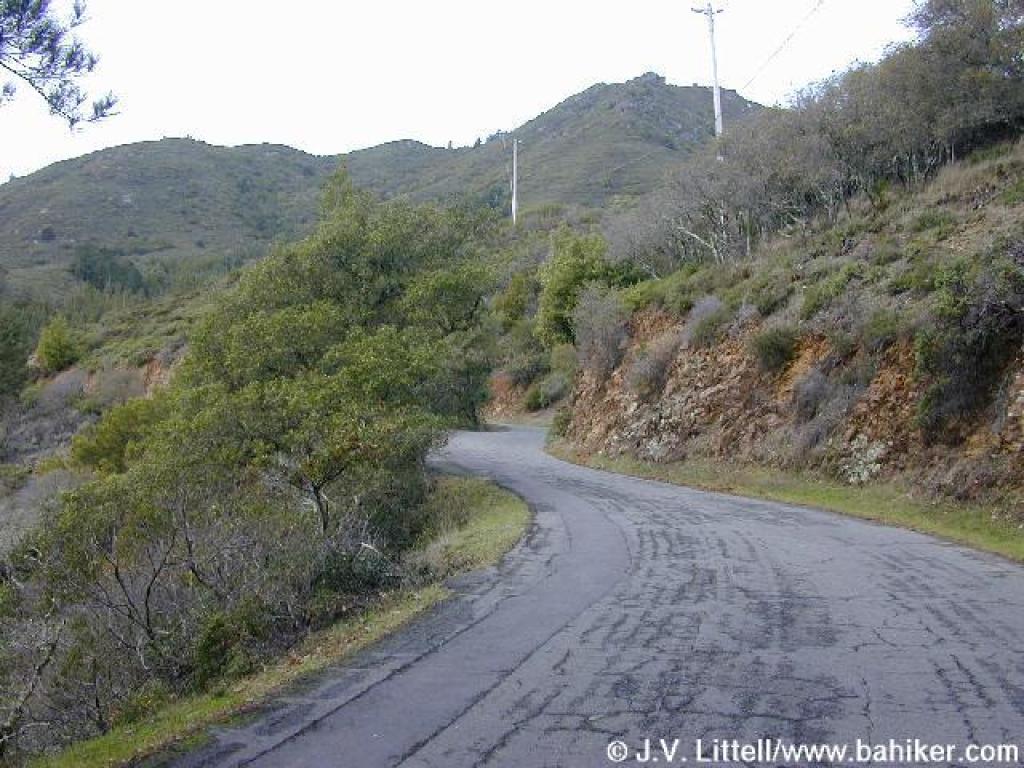
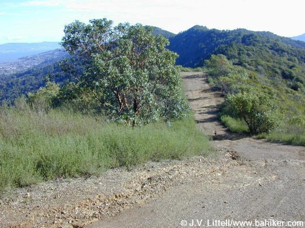
 Summit Road, which accesses some hillside houses |
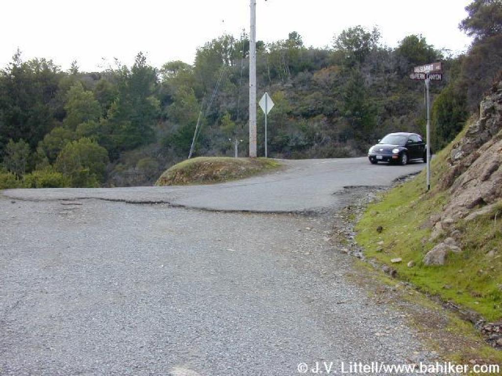 Junction with Fern Canyon Road |
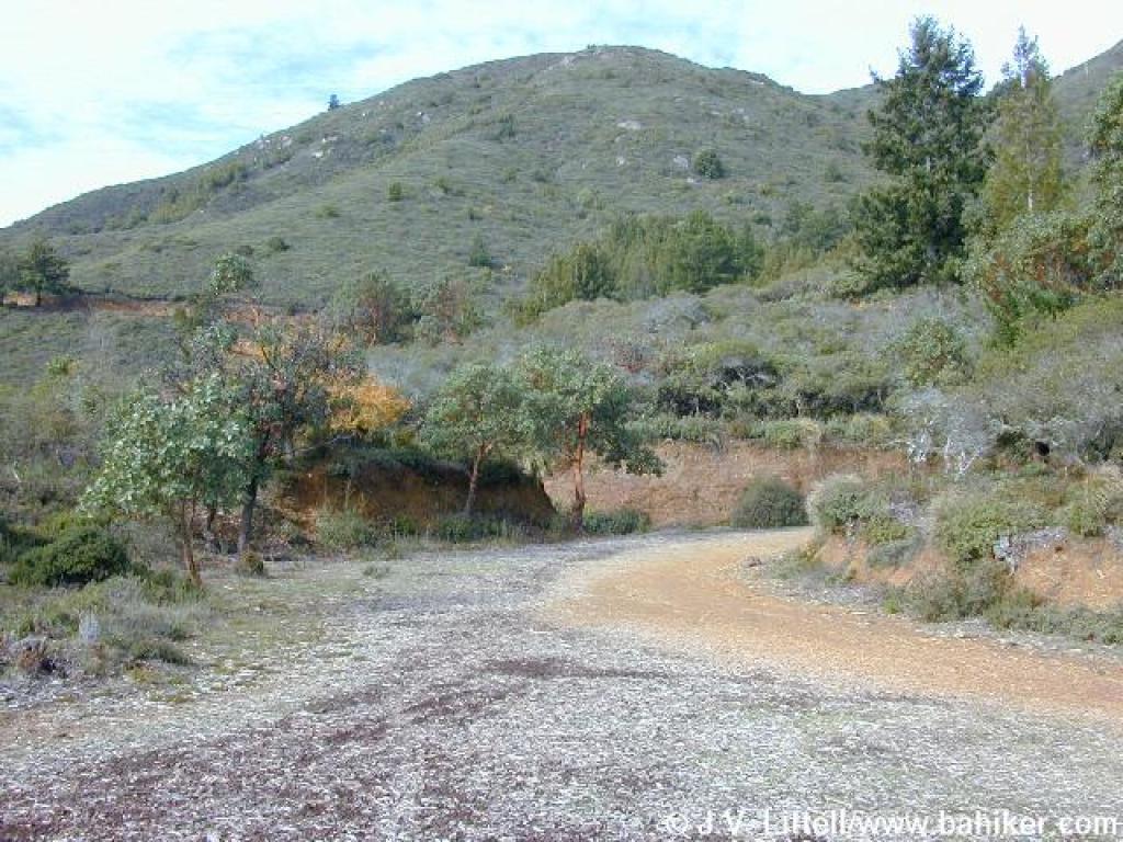
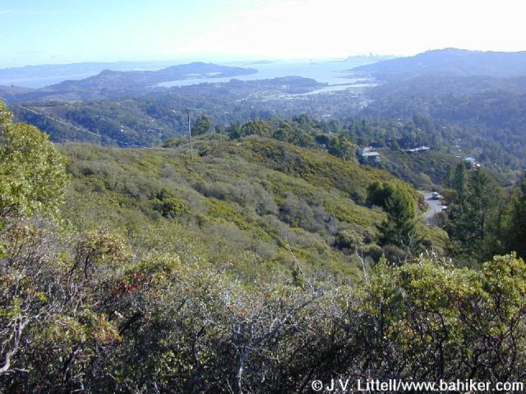
 View |
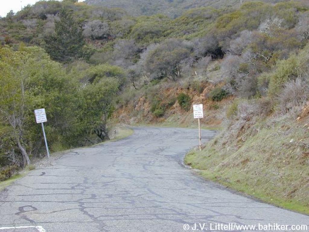 Fern Canyon Road |
||||
 Temelpa Trail starts on the right |
 Watch out for cars along Fern Canyon Road |
 Neighborhood welcome |
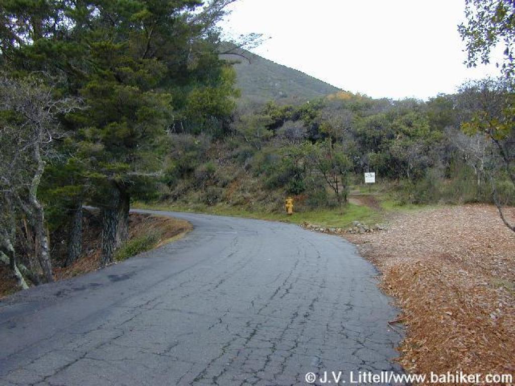
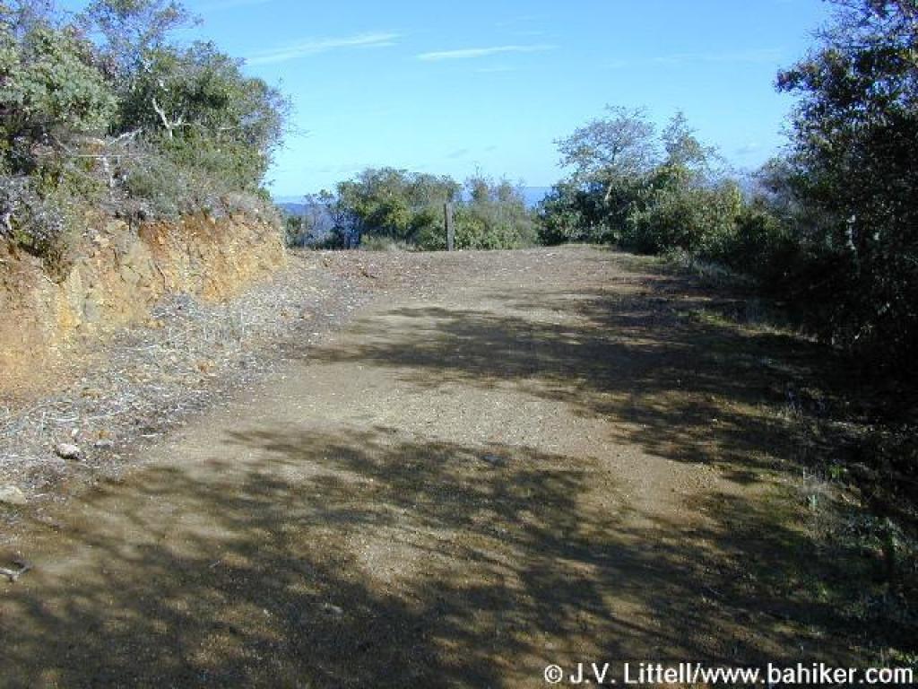
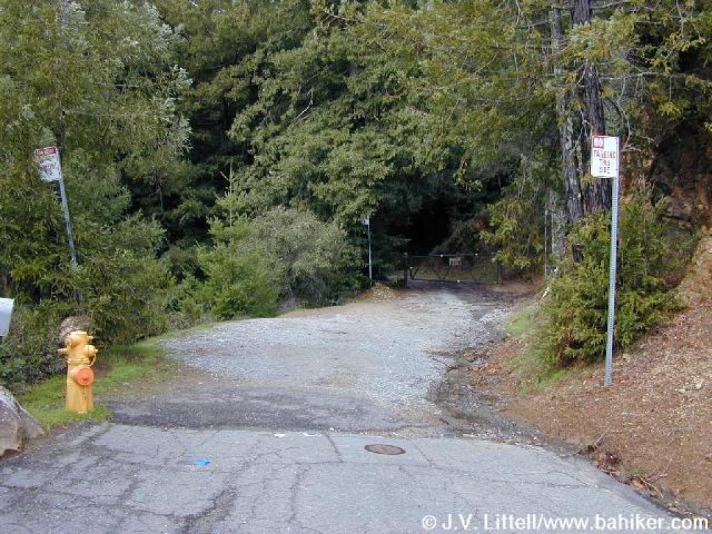 Gate at the end of the paved road |
||||
 Old Railroad Grade again |
 Junction; turn right |
 Double bowknot |
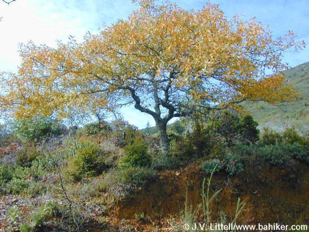 A pretty oak |
||||
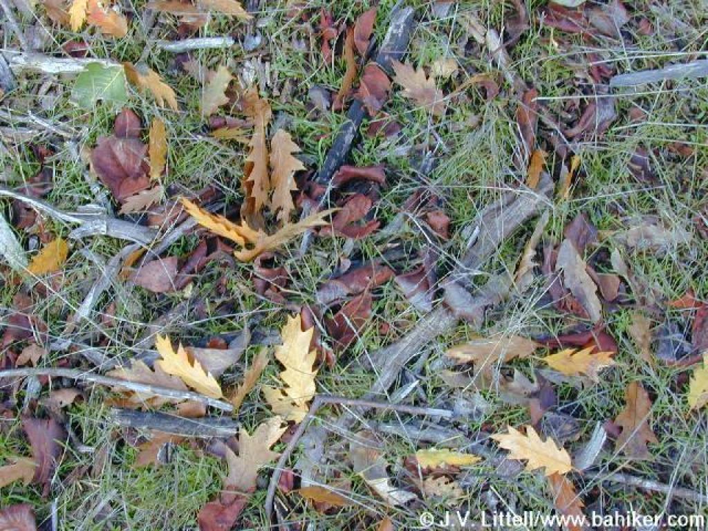 Oak leaves and madrone bark on the ground |
 Junction |
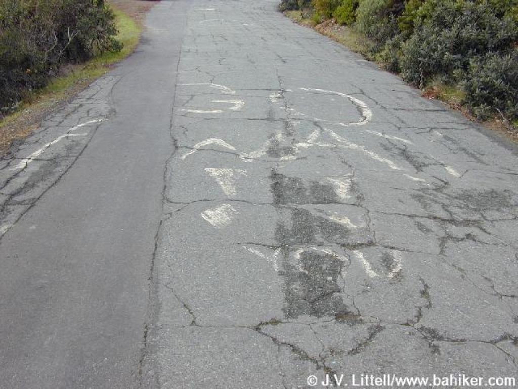
 This sidewalk served as a platform for the trains |
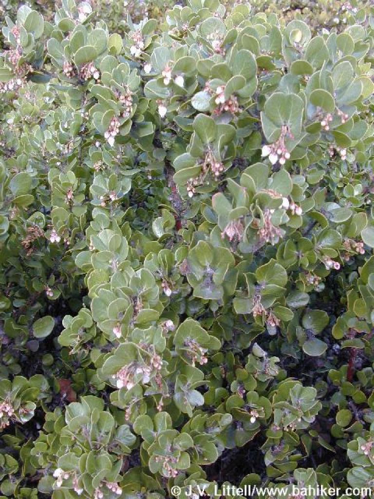 Manzanita in bloom |
||||
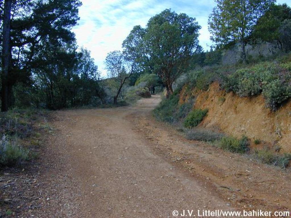
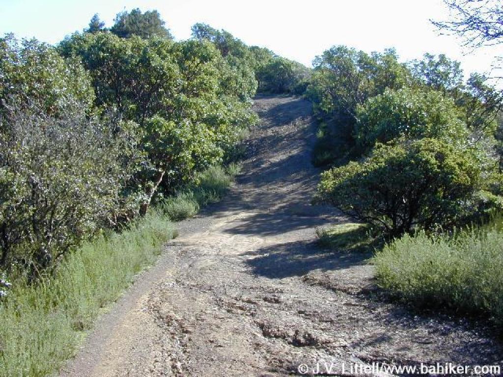
 Winding uphill |
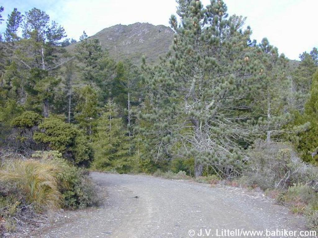
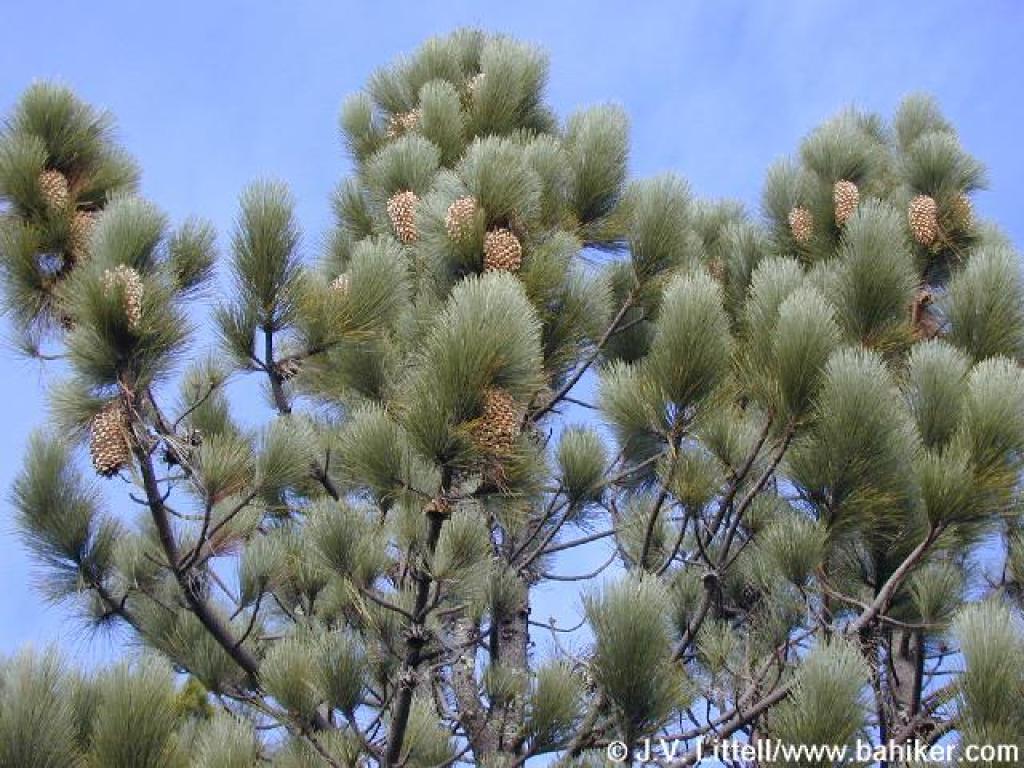 Coulter pine |
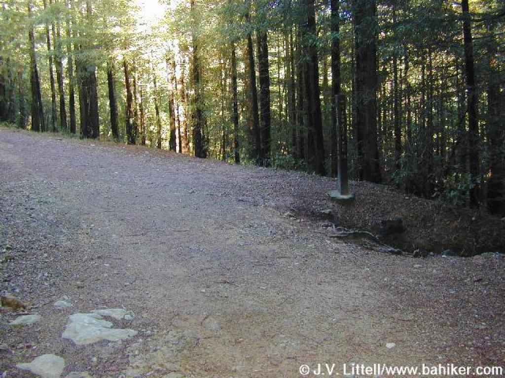
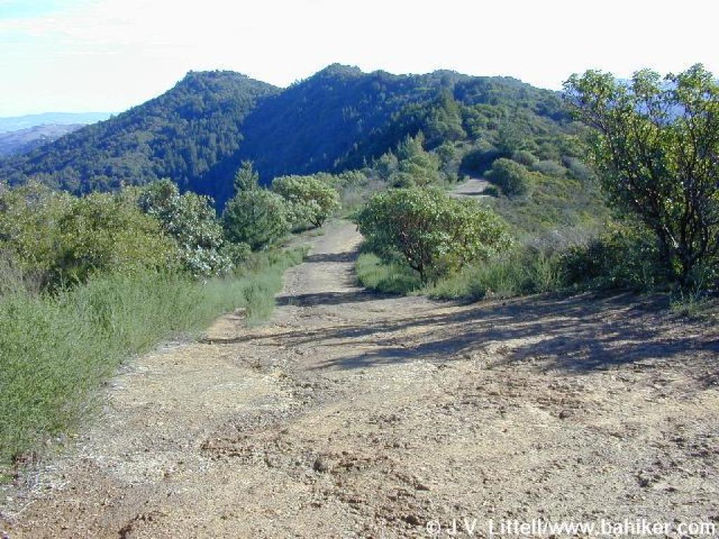
 Old Railroad Grade |
 Junction with Hoo-Koo-E-Koo Fire Road |
||||
 Hoo-Koo-E-Koo Fire Road |
 Redwoods |
 Descent and view |
 View south |
||||
 Junction with Temelpa |
 A look down Temelpa |
 View uphill to Tam's summit |
 Junction with Wheeler Trail |
||||
 Chamise |
 Blithedale Ridge |
 Giant chain fern |
 Passing through redwoods |
||||
 Junction |
 Hoo-Koo-E-Koo Trail |
 Silk-tassel |
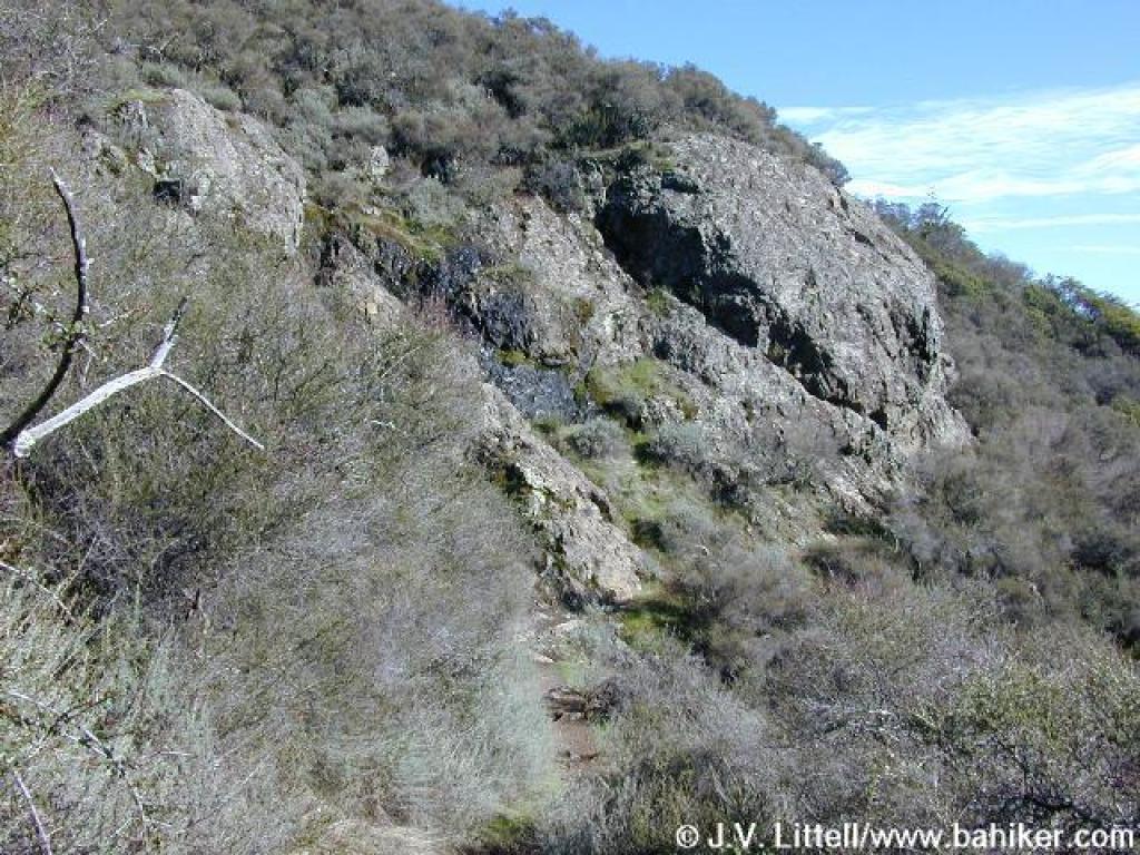 Trail prepares to pass beneath Echo Rock |
||||
 Hoo-Koo-E-Koo Trail |
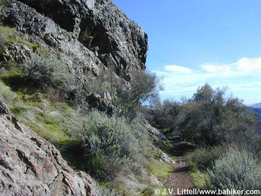
 View out of the canyon to the south |
 Blithedale Fire Road |
 This ridge separates the towns of Mill Valley and Larkspur |
||||
 Horseshoe Fire Road departs to the right just before the fire road starts to climb |
 Descent |
 Horseshoe Fire Road |
 Junction with Old Railroad Grade |
||||
 Returning to the trailhead |
Go to Bay Area Hiker Blithedale Summit Open Space Preserve page Go to Bay Area Hiker Home page |
||||||