| Photos from a May
2001 hike on Mount Tamalpais (Bon Tempe Trailhead) (click on any image for a larger view) |
|||||||
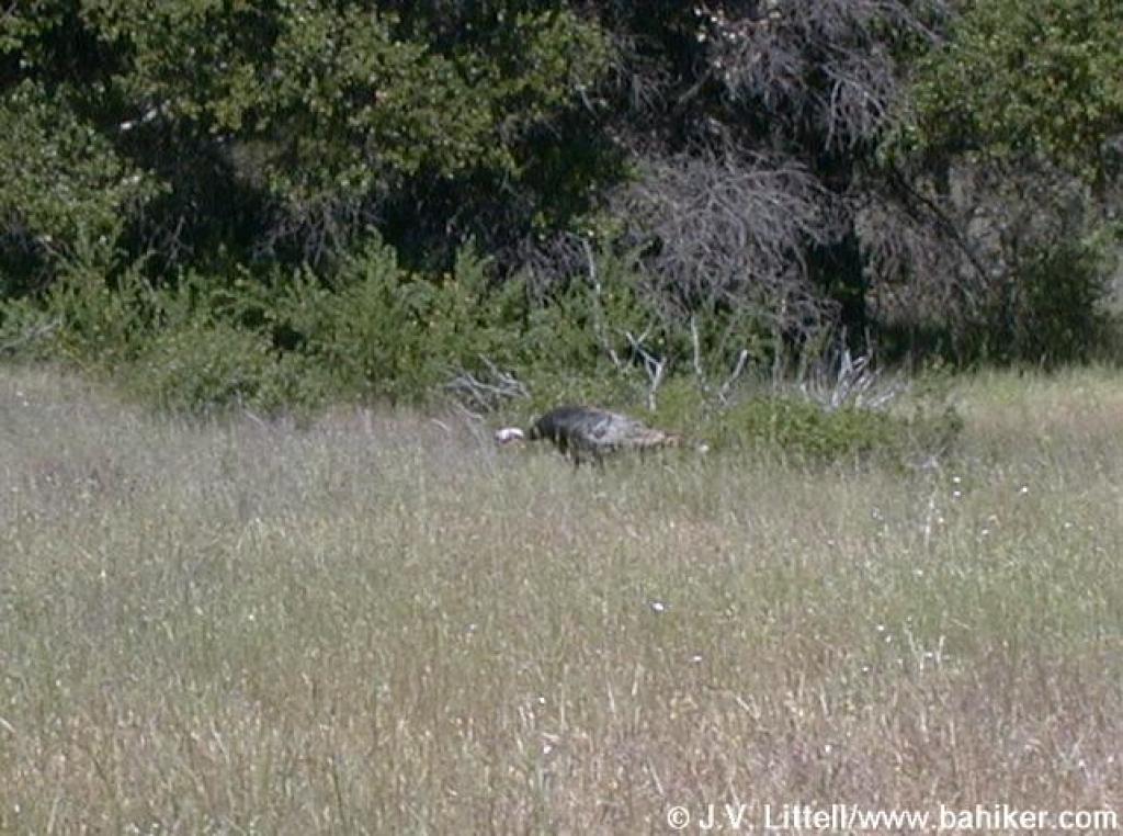
Turkey on the side of the road |
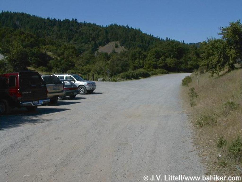 Trailhead |
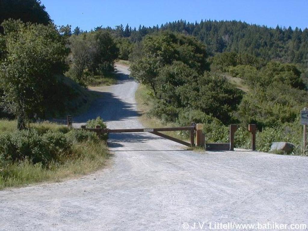 Start |
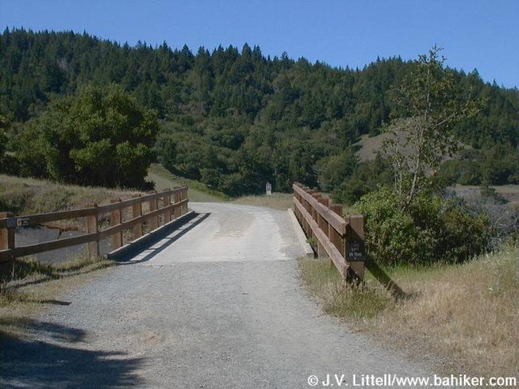
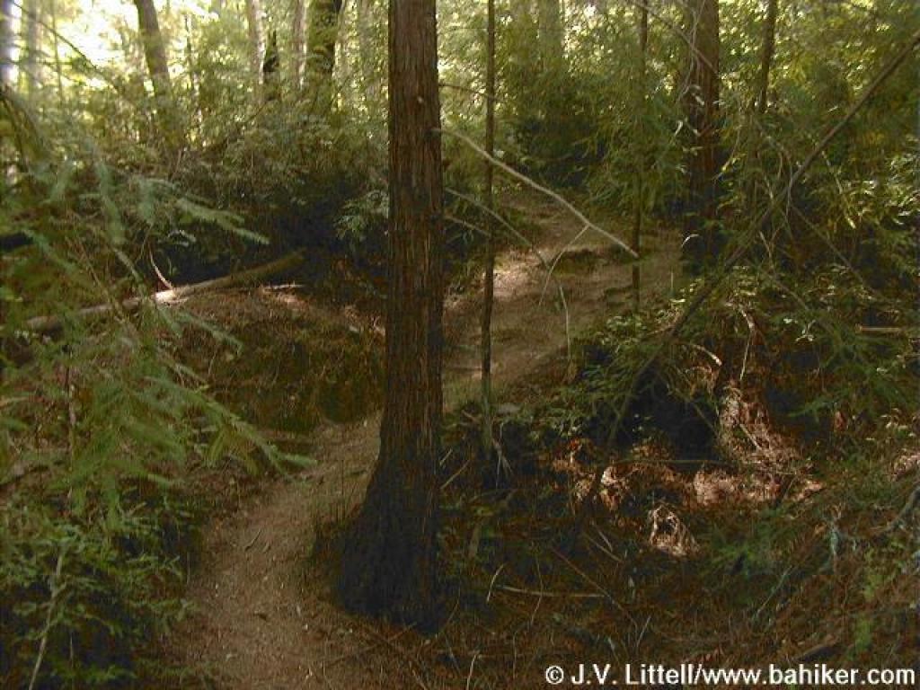
 Junction |
||||
 Crossing spillway |
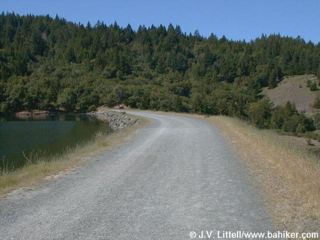 Dam |
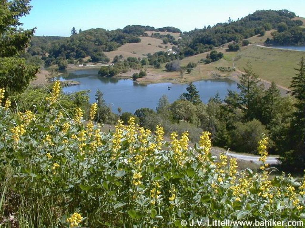
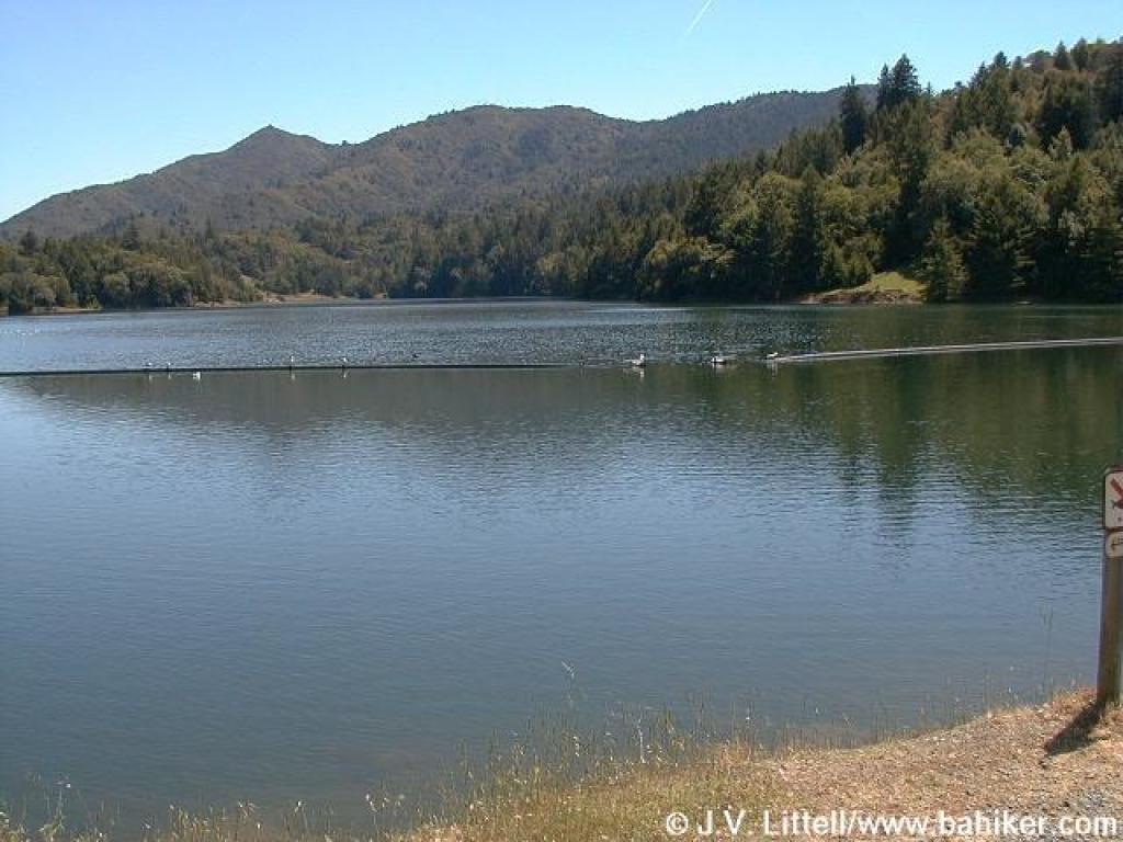 View across the lake to Mount Tam's peaks |
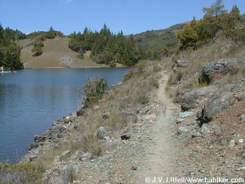
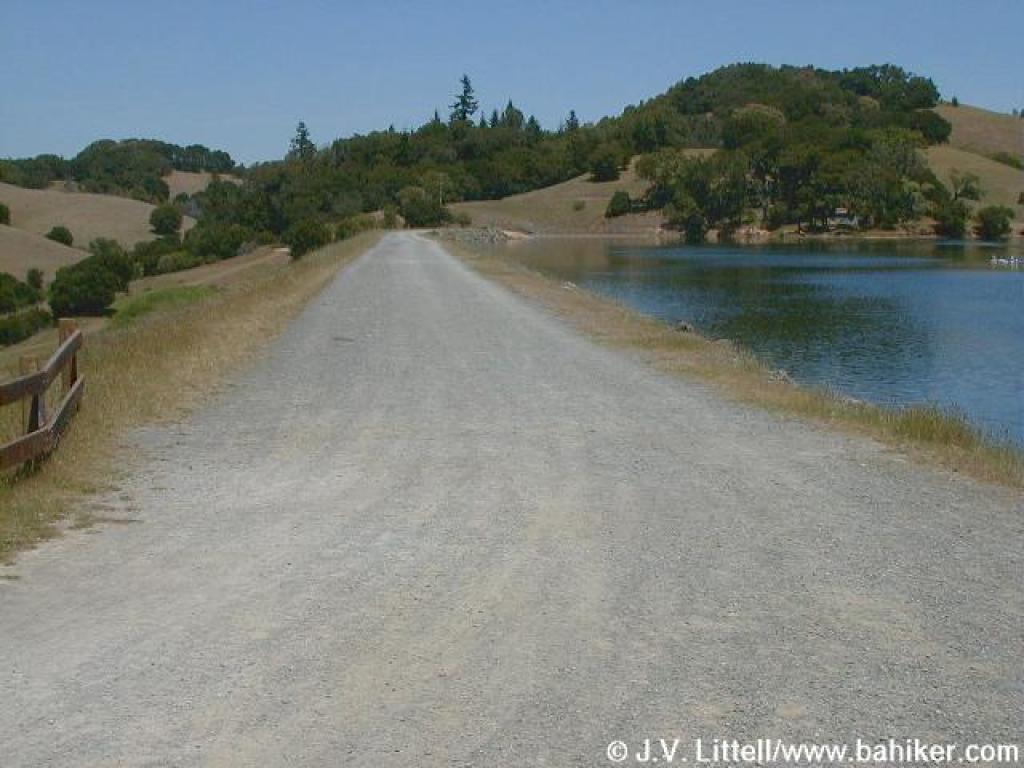
 Alpine Lake |
||||
 Junction |
 Junction |
 Alpine Lake |
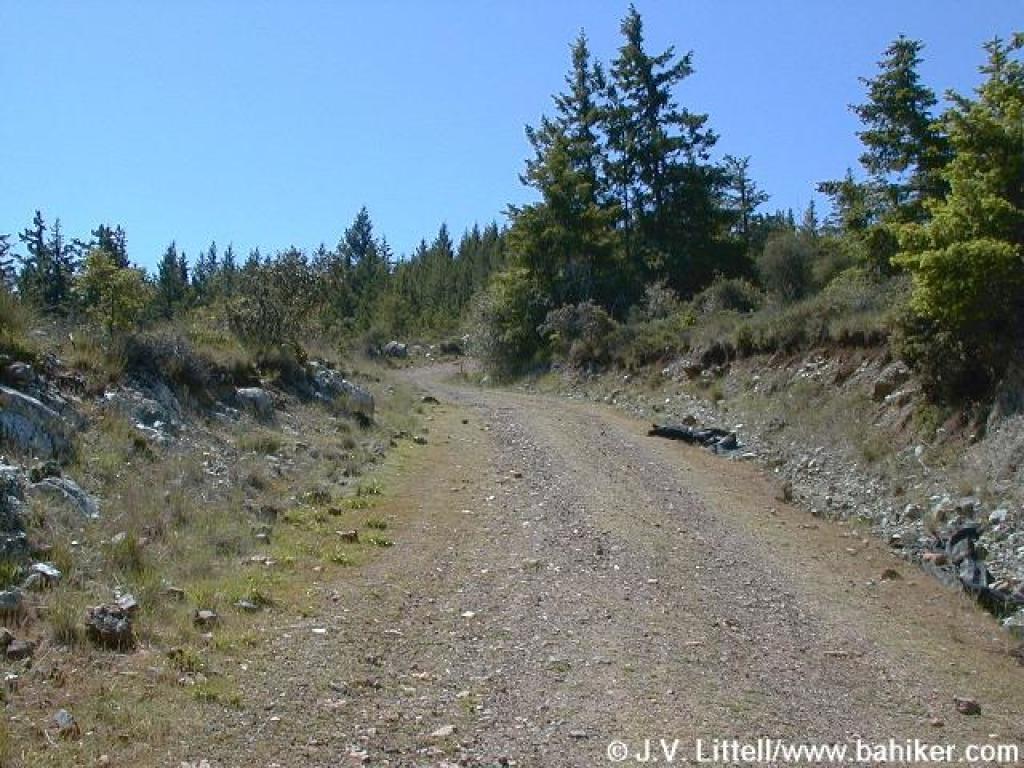
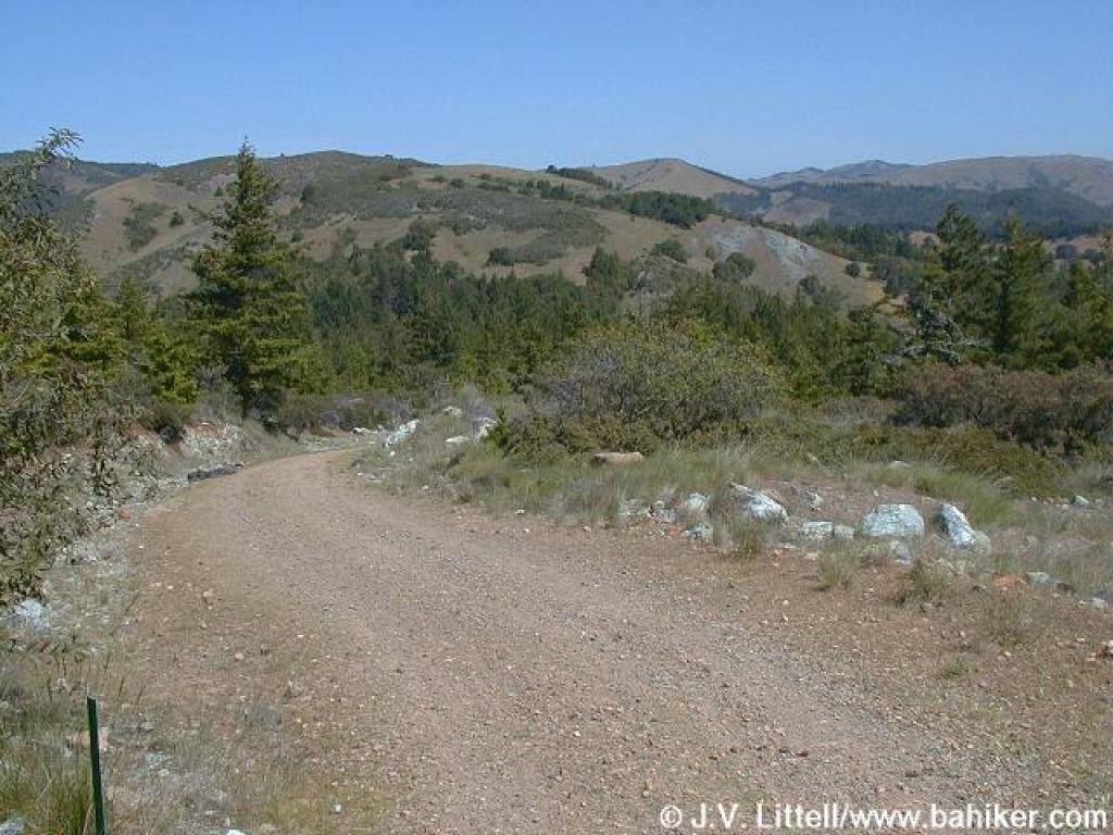
 Rocky Ridge Fire Road |
||||
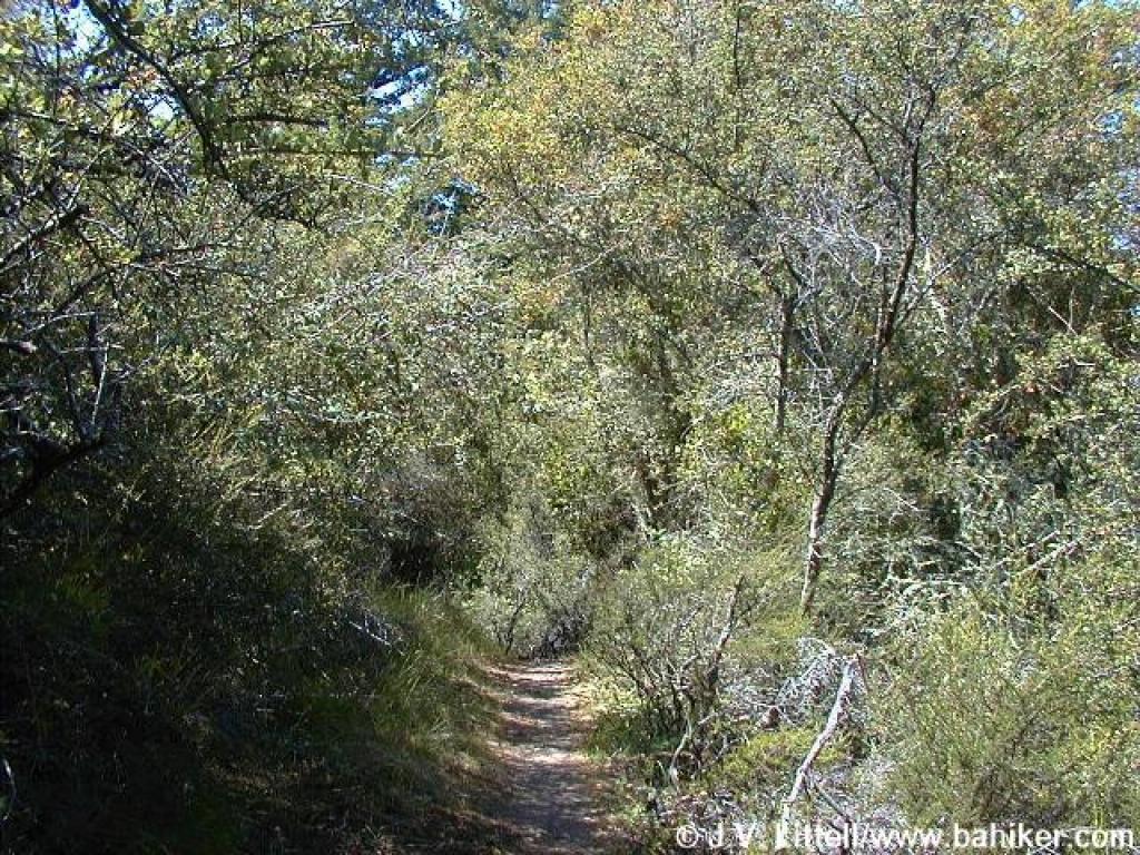
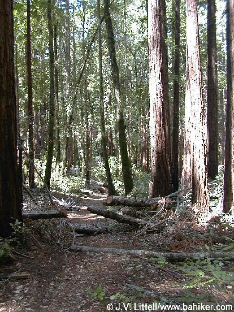
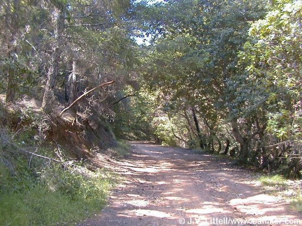 Wooded stretch |
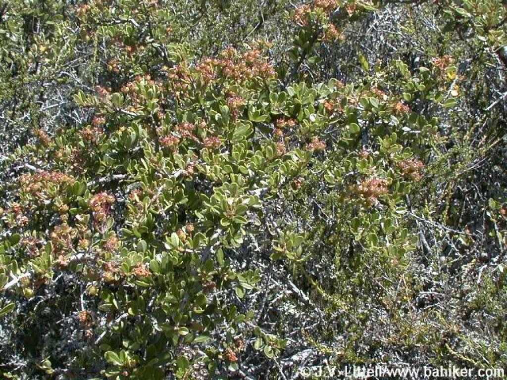
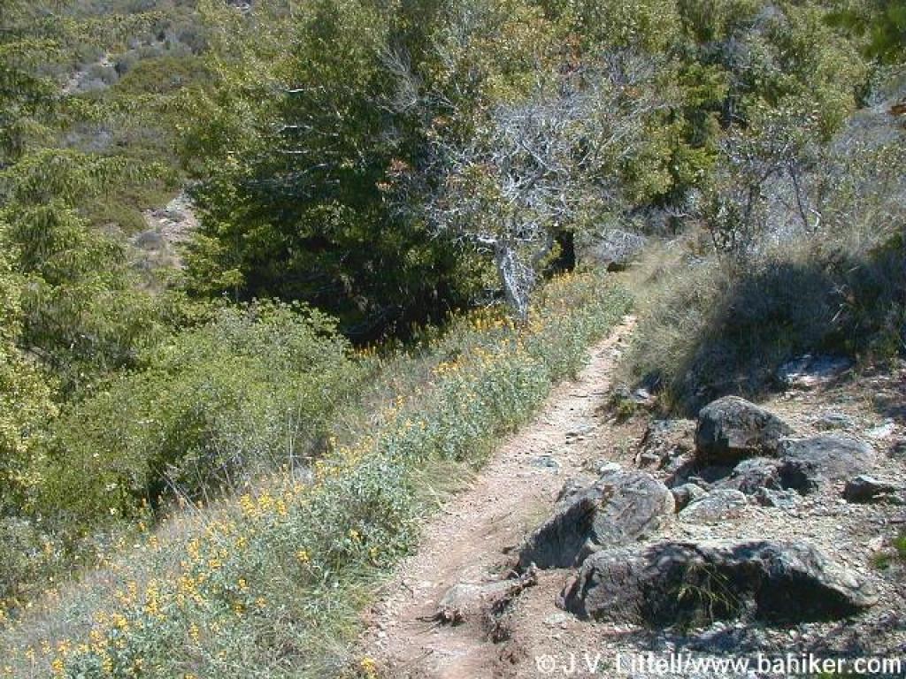
 Climbing through mostly chaparral |
 Toyon |
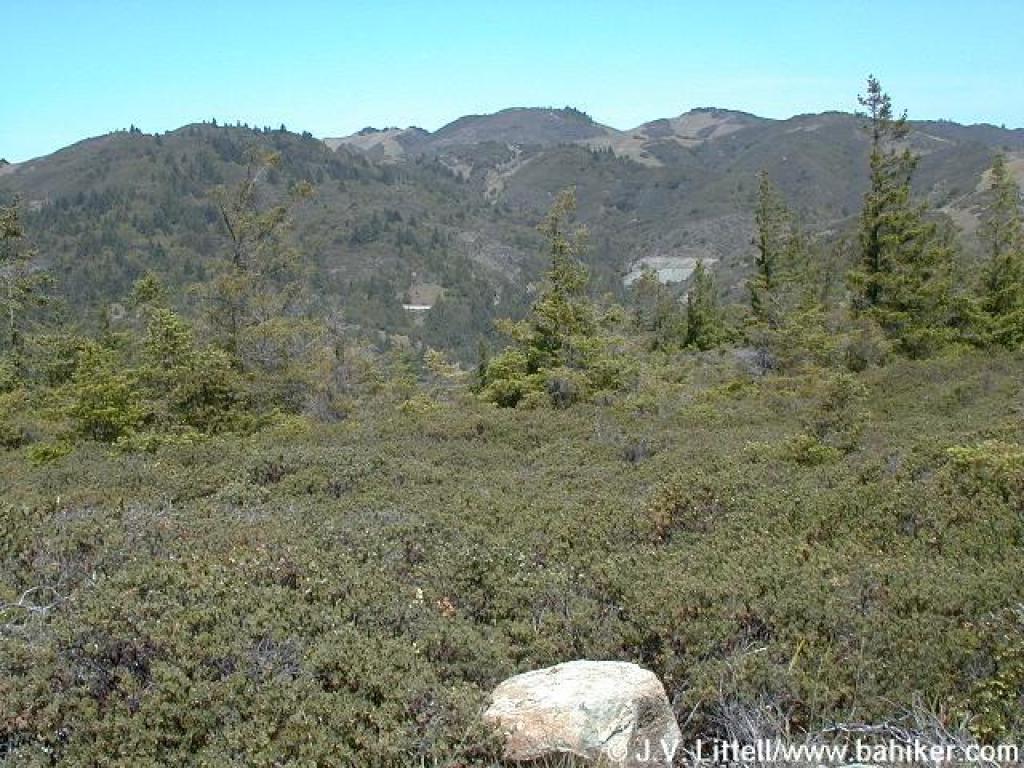
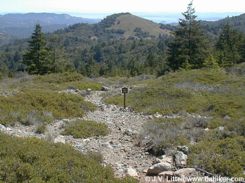
 View back to the north |
||||
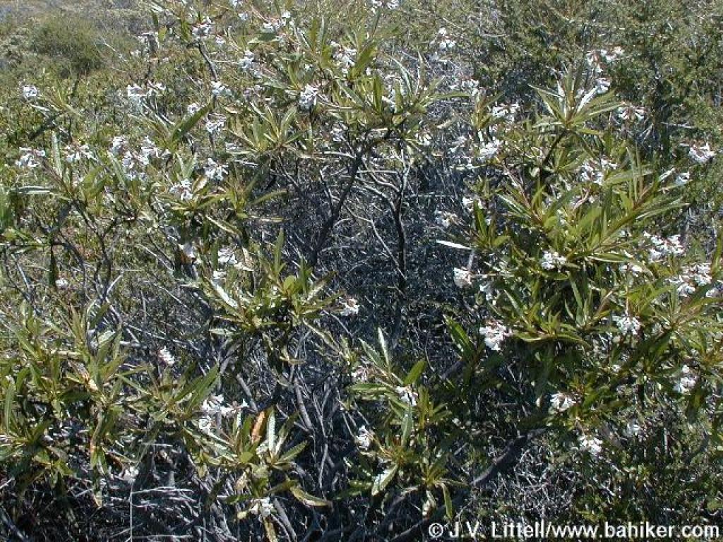
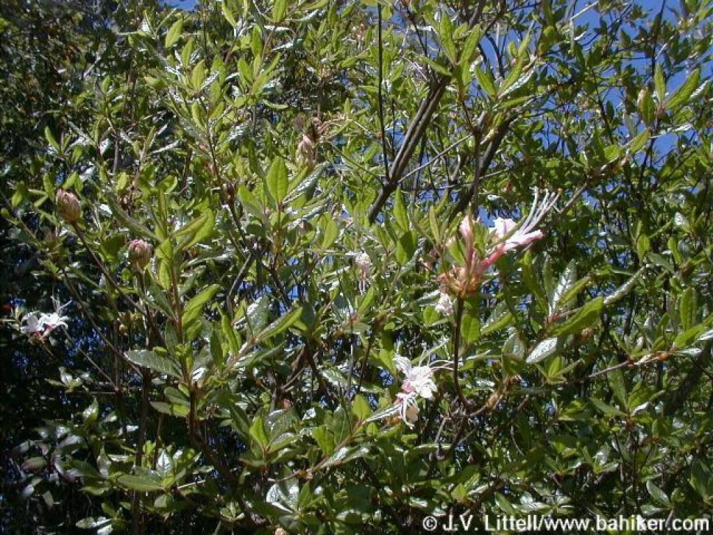 Azalea |
 View west |
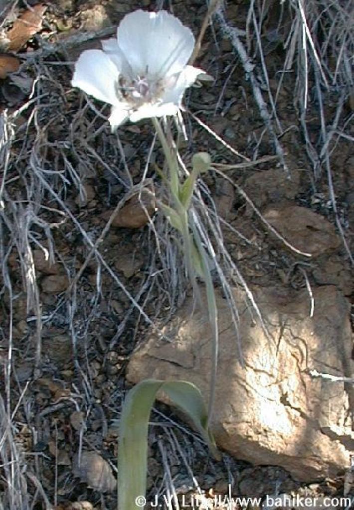 Mariposa tulip? |
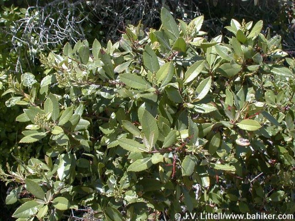
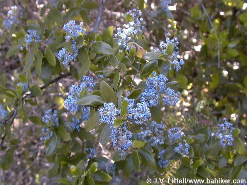
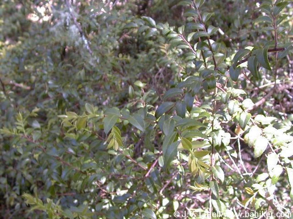
 Ceanothus |
||||
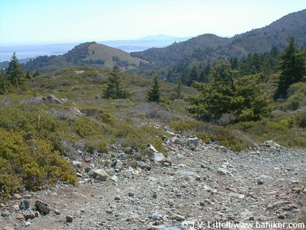 View east |
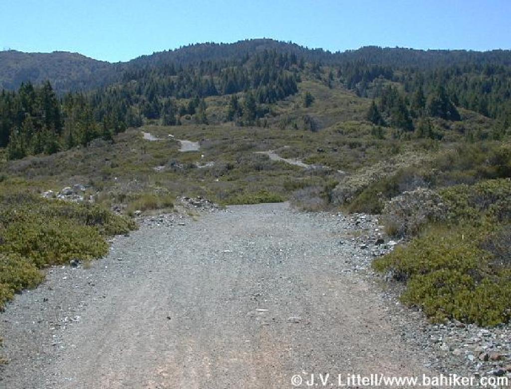 Grade levels out |
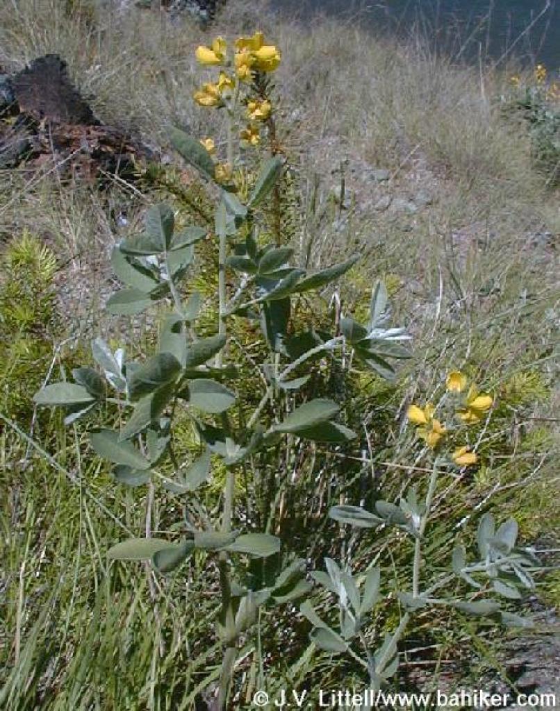
 Yerba santa |
 Signed as closed, this is the other segment of Stocking Trail |
||||
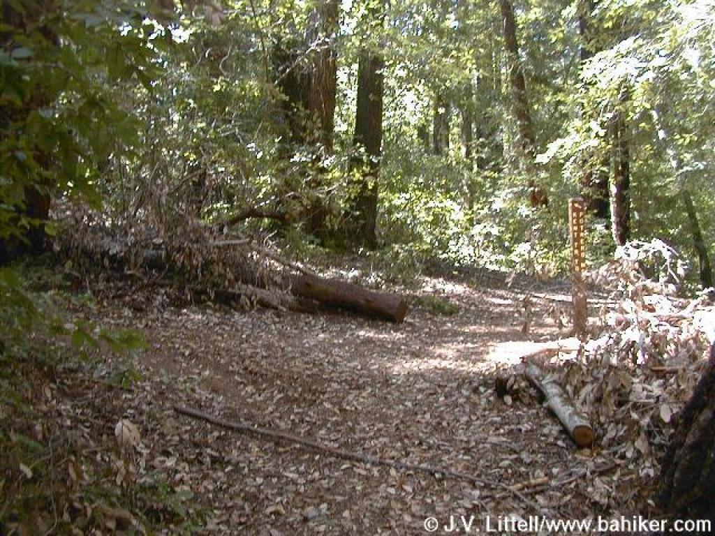
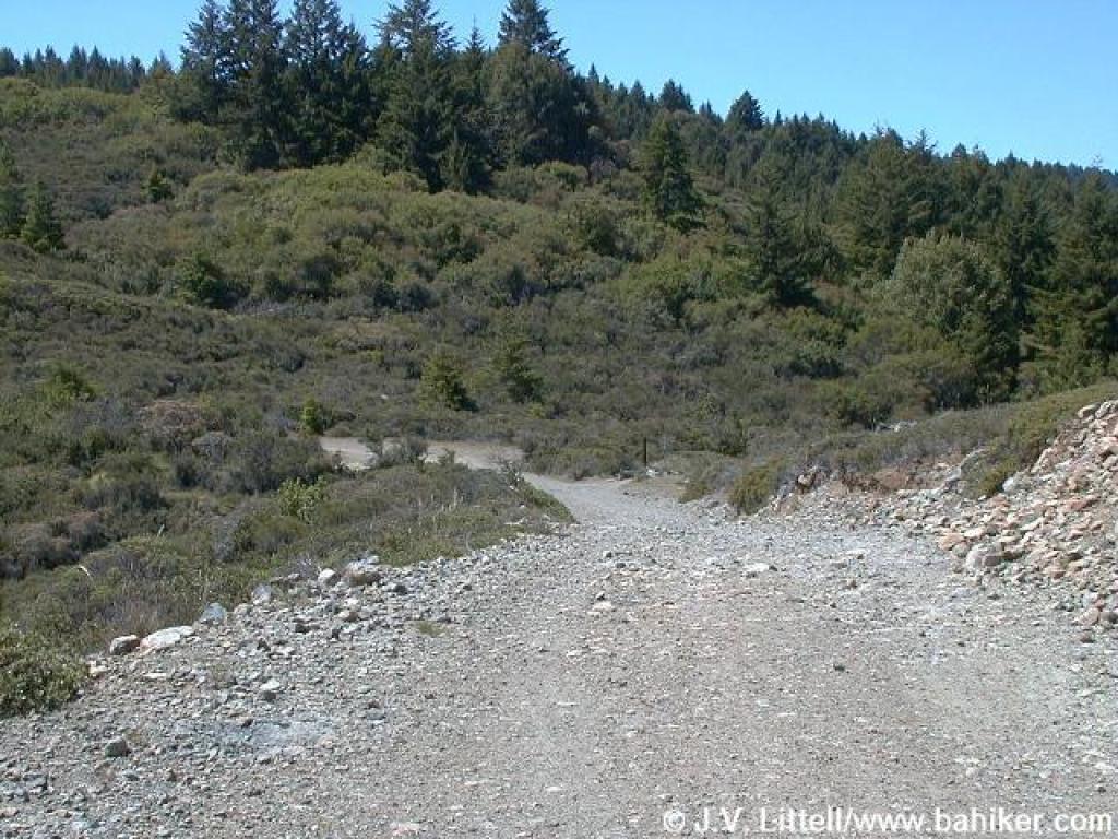 Approaching junction |
 Stocking Trail |
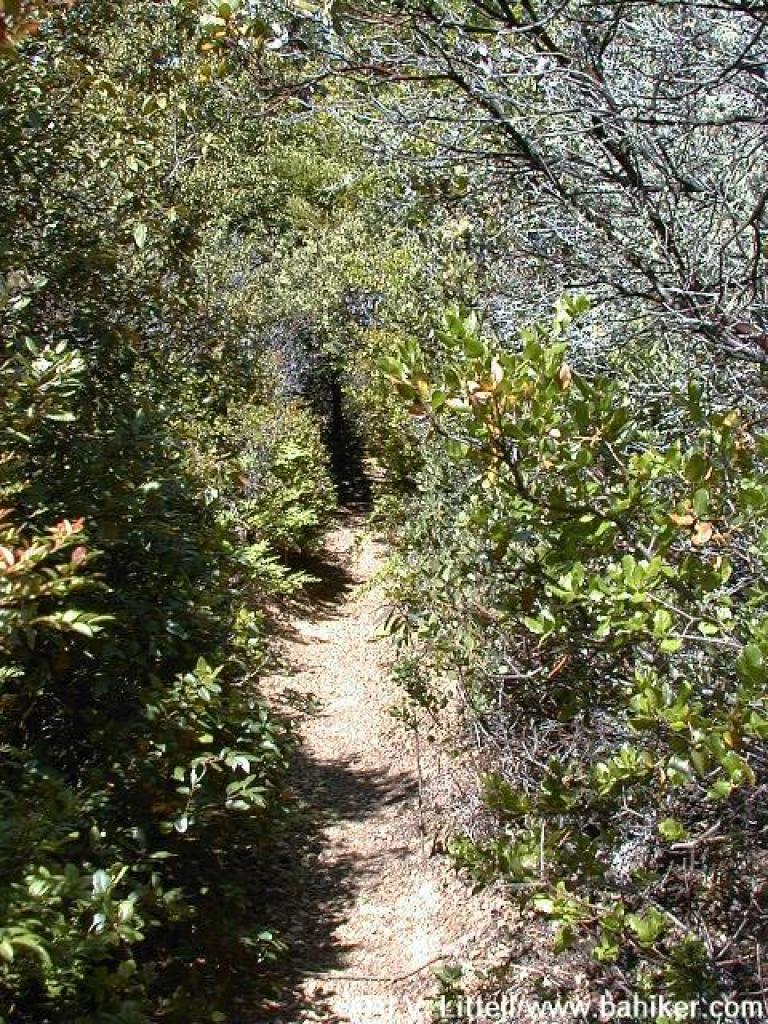
 Chamise, manzanita, and toyon line the beginning of the trail |
 Unless the water district trims the shrubs, tall hikers will be ducking their heads through here |
||||
 Ceanothus |
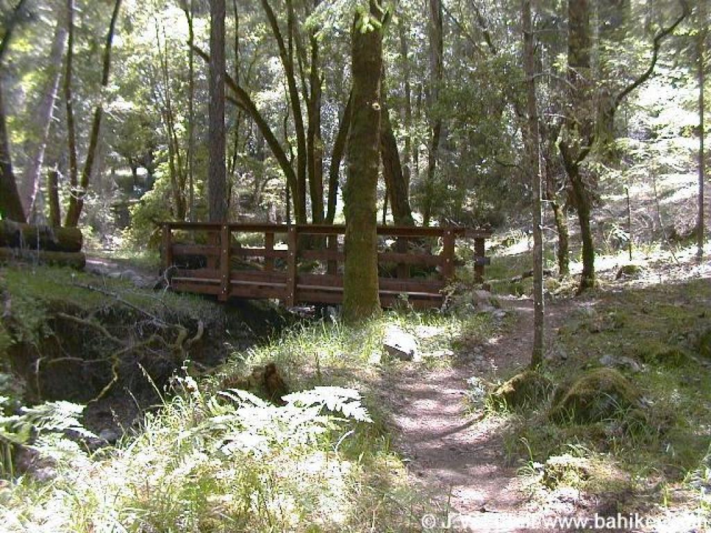
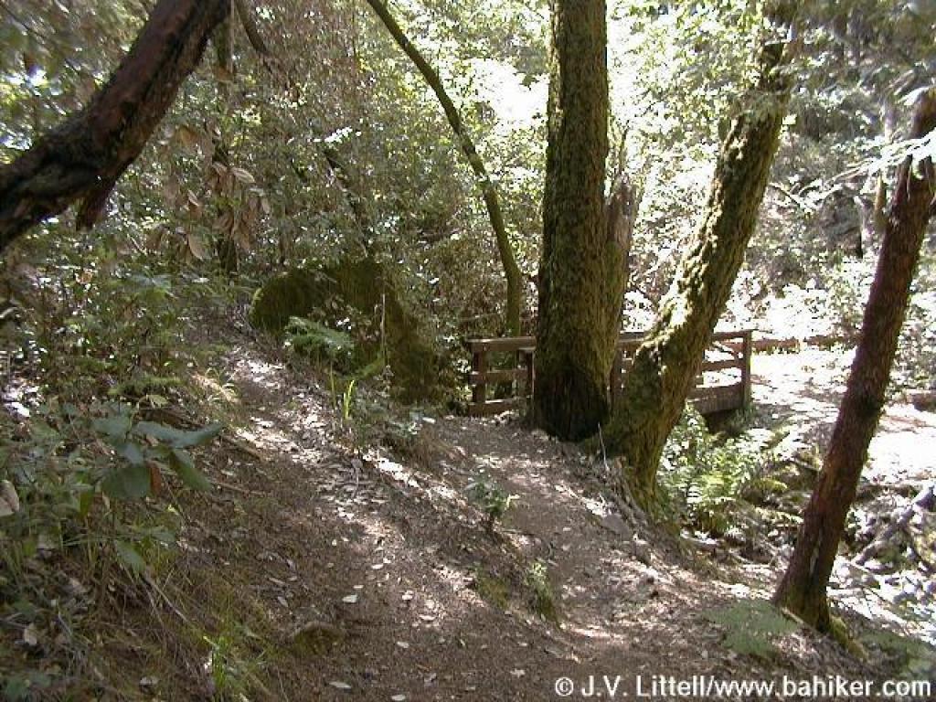 Bridge at Van Wyck Creek |
 Huckleberry is common in the understory |
 Stocking Trail |
||||
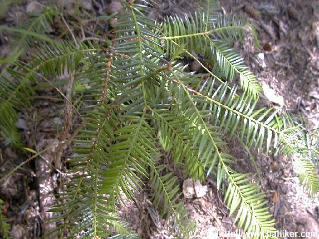
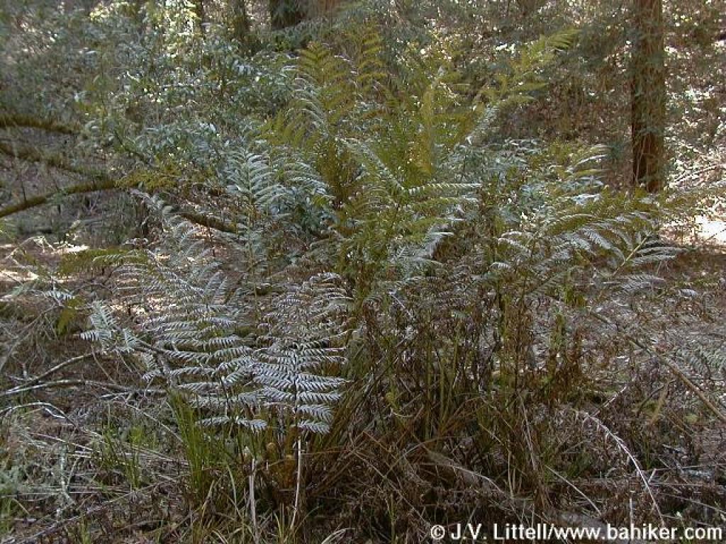 Giant chain ferns |
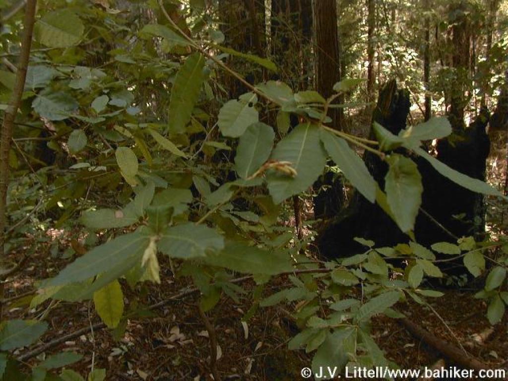 Tanoak |
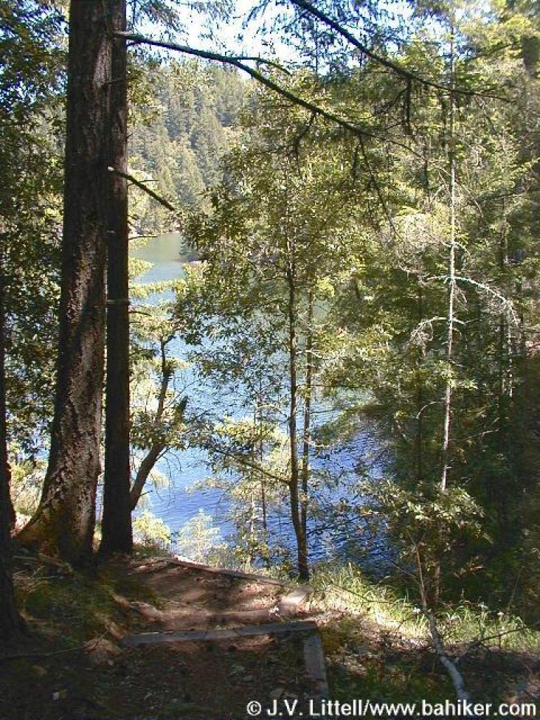
 Along the shore of Hidden Lake |
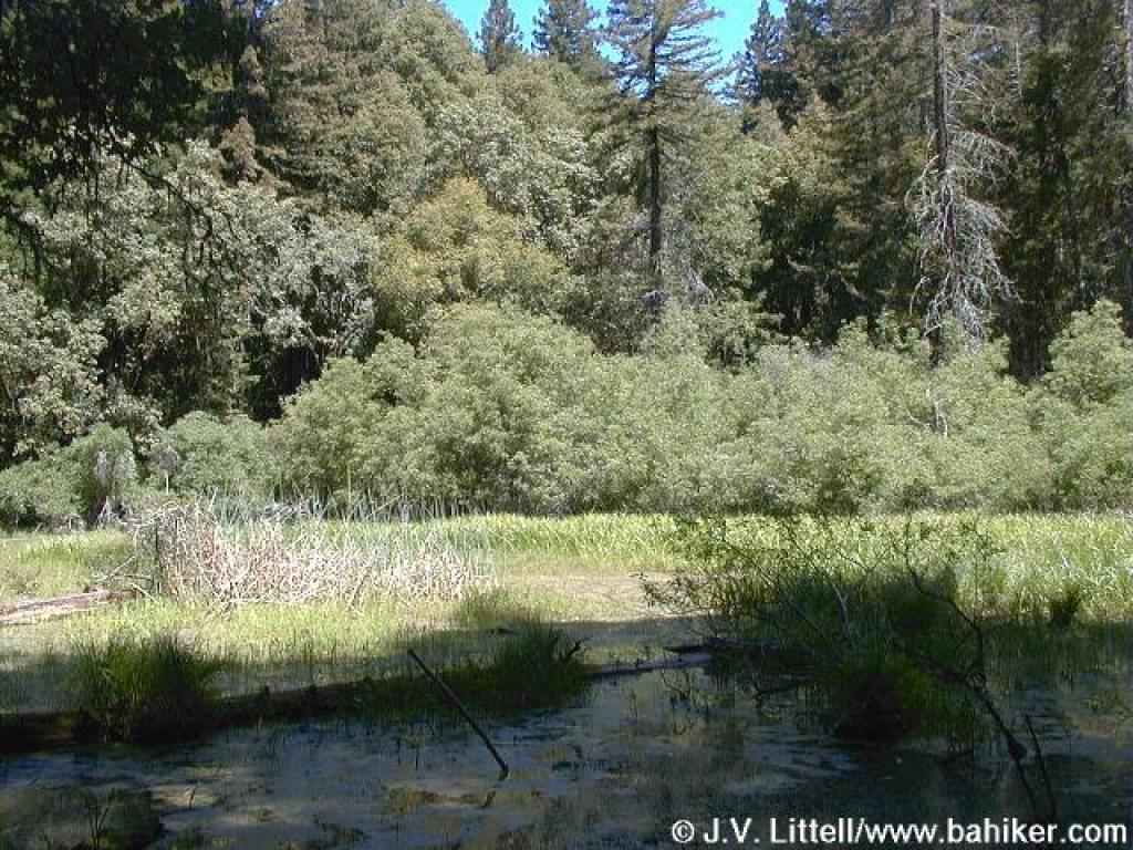 Hidden Lake |
||||
 Junction with Kent Trail |
 Kent Trail |
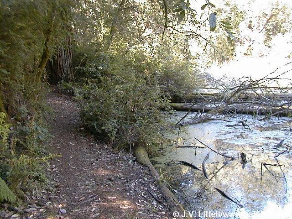
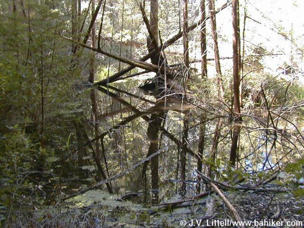 Foul Pool |
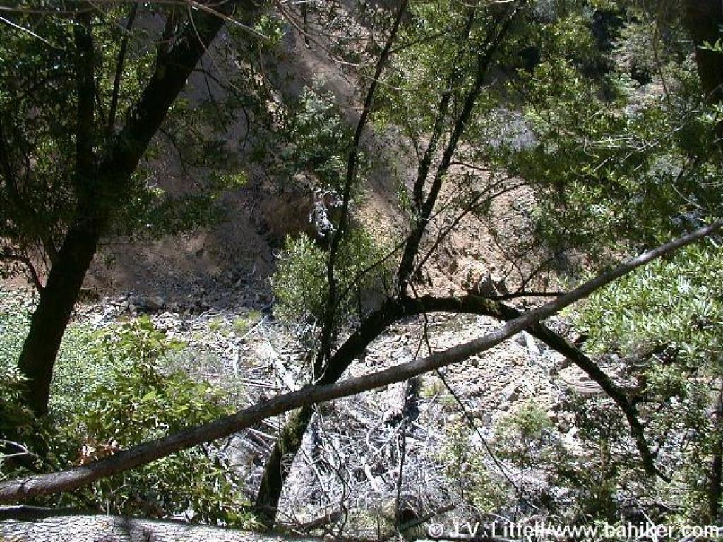 Near the East Fork of Swede George Creek, an area prone to landslides |
||||
 Pipe along the trail |
 California nutmeg |
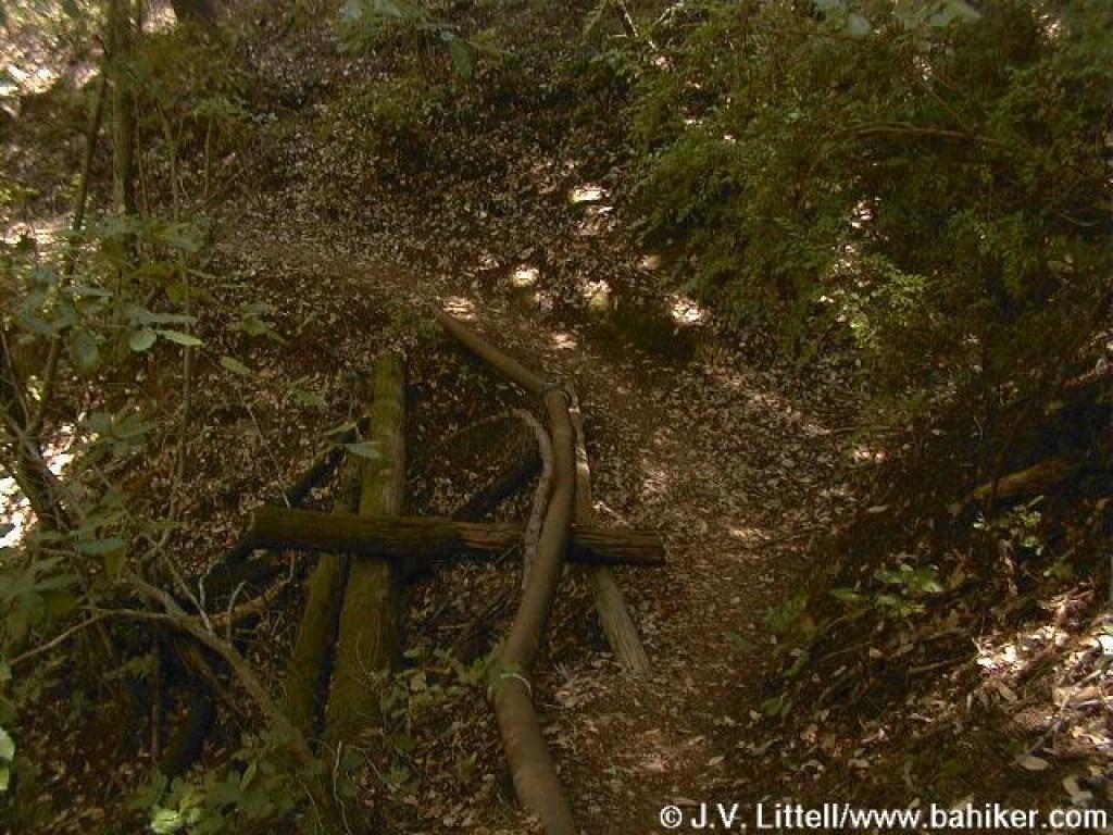
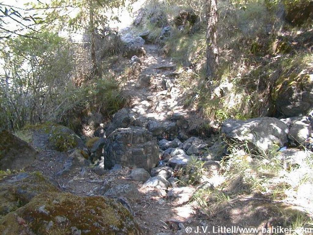
 Narrow stretch |
 Douglas fir, chinquapin, and manzanita crowd the trail |
||||
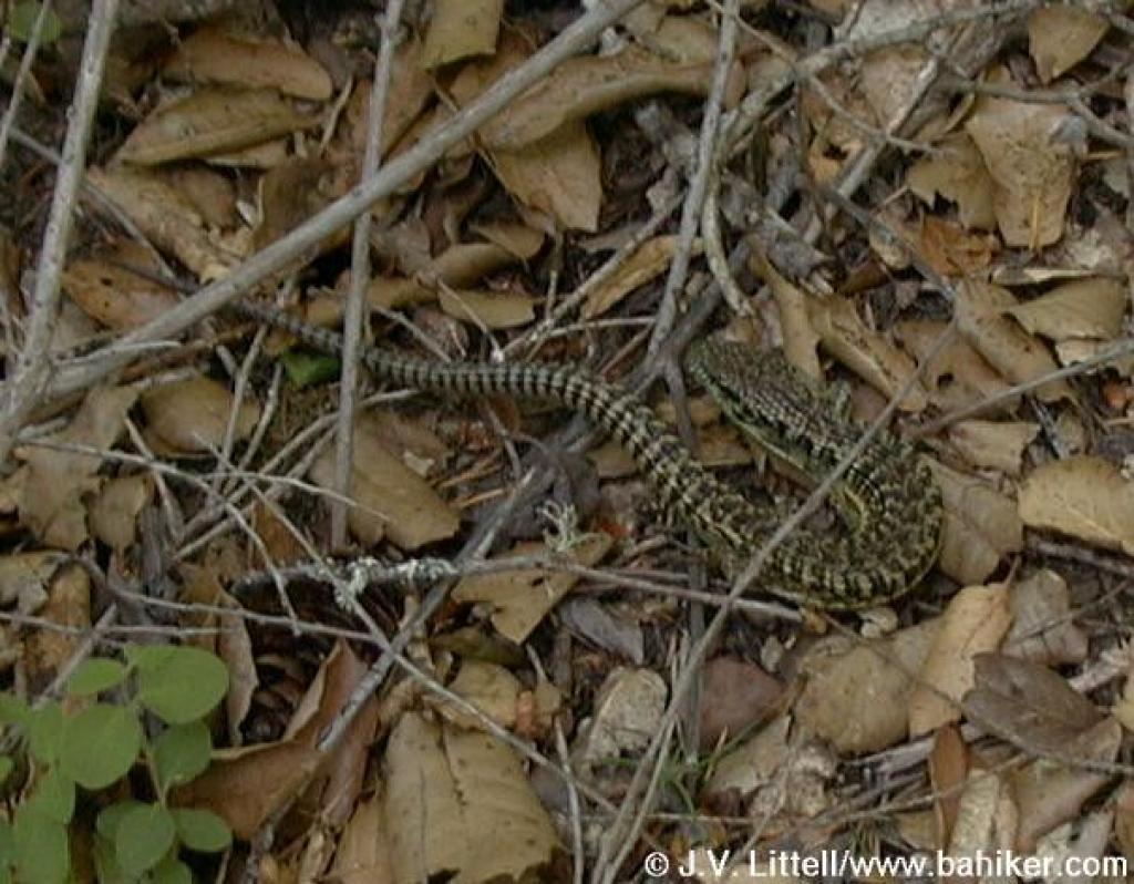 Skink |
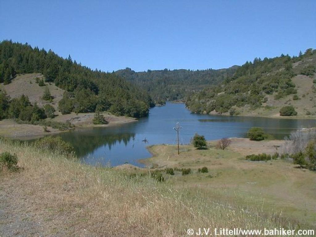
 Alpine Lake |
 Kent Trail |
 Indian warrior |
||||
 Kent Trail |
 Bridge along a rerouted stretch |
 Spotted coralroot |
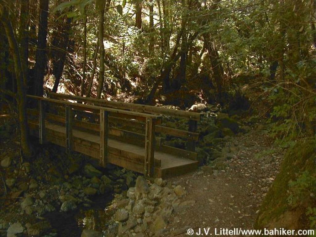 Bridge at Van Wyck Creek |
||||
 Sunlight on the lake |
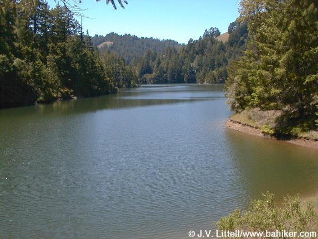 Alpine Lake |
 Through grassland |
 False lupine along the trail |
||||
 False lupine |
 Rocky |
 Kent Trail |
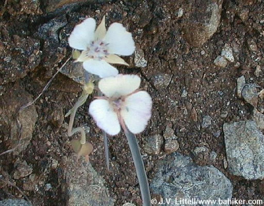 Mariposa tulips |
||||
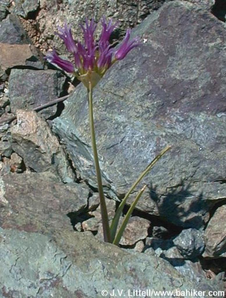 Sickleleaf onion |
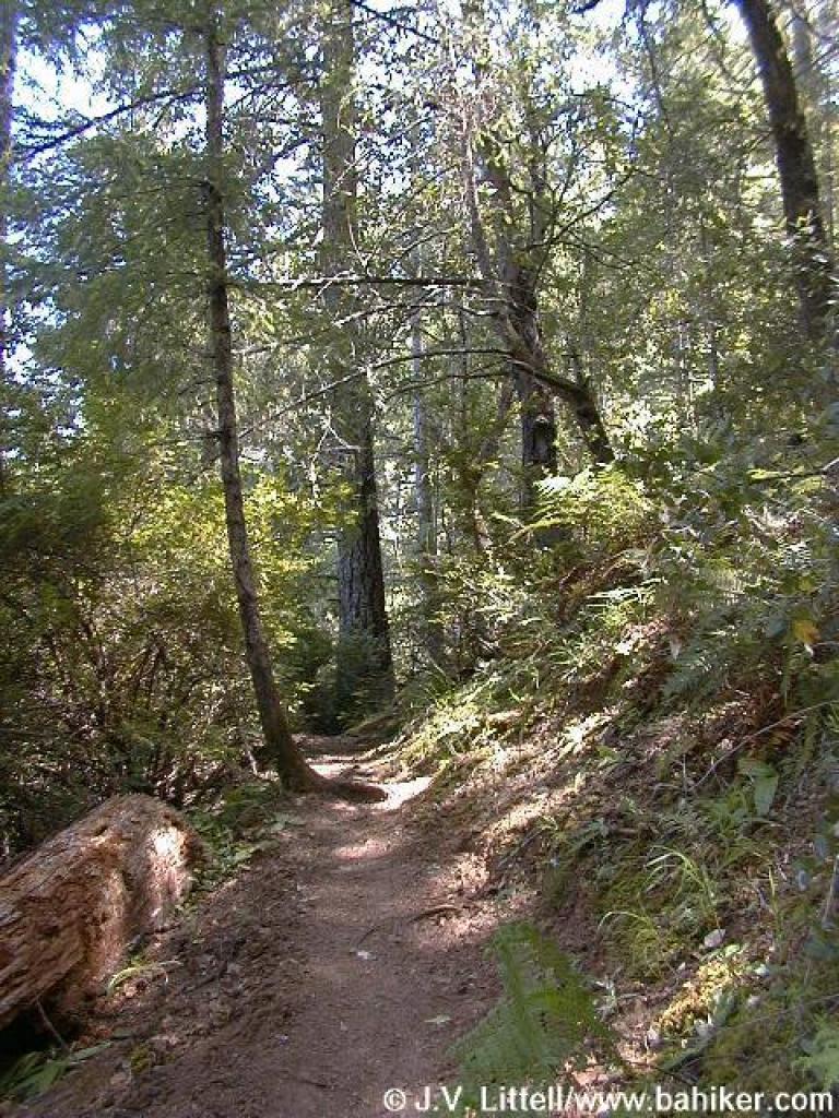
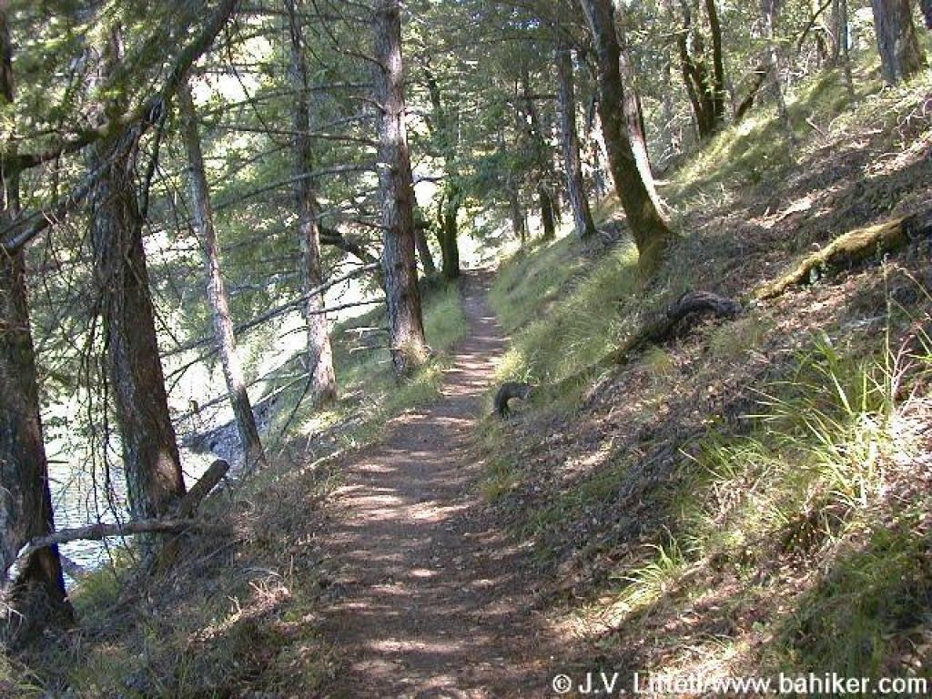 Last stretch of woods |
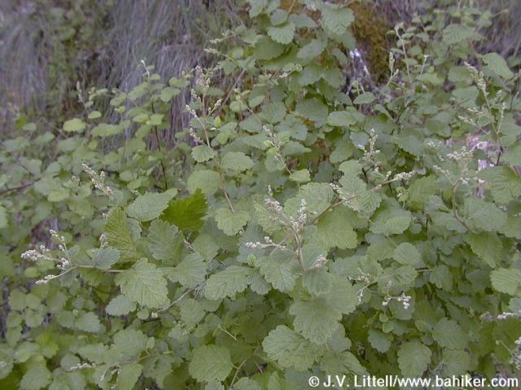 Creambush |
 Kent Trail merges onto a gravel road, called Alpine Bon Tempe Fire Road in Tamalpais Trails |
||||
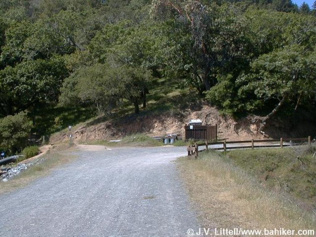
 Junction |
 Returning across the dam |
Go to Bay Area Hiker Bon Tempe page Go to Bay Area Hiker Home page |
|||||