| Photos
from a March 2000 hike at Calero County Park (click on any image for a larger view) |
|||||||
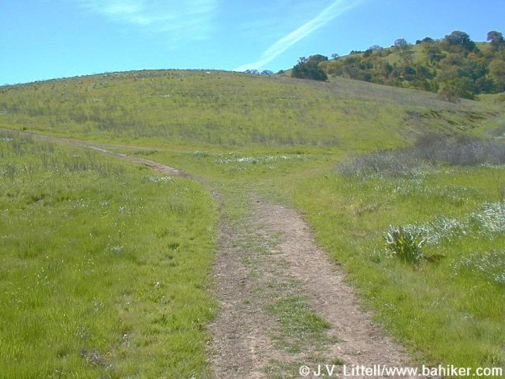
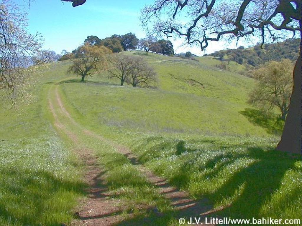
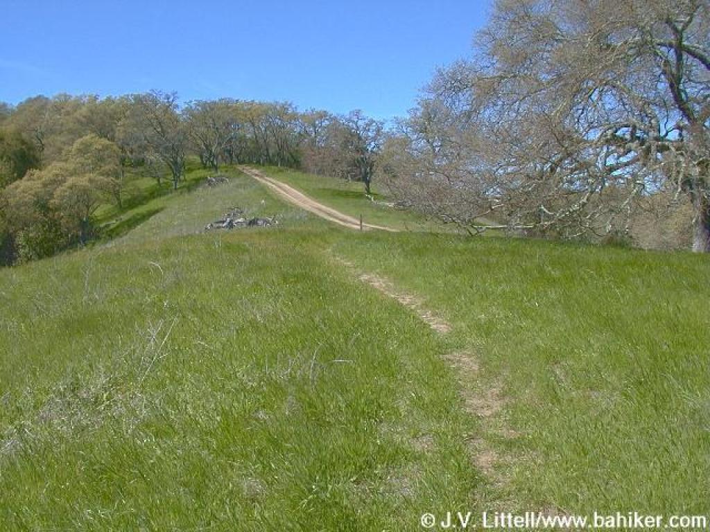
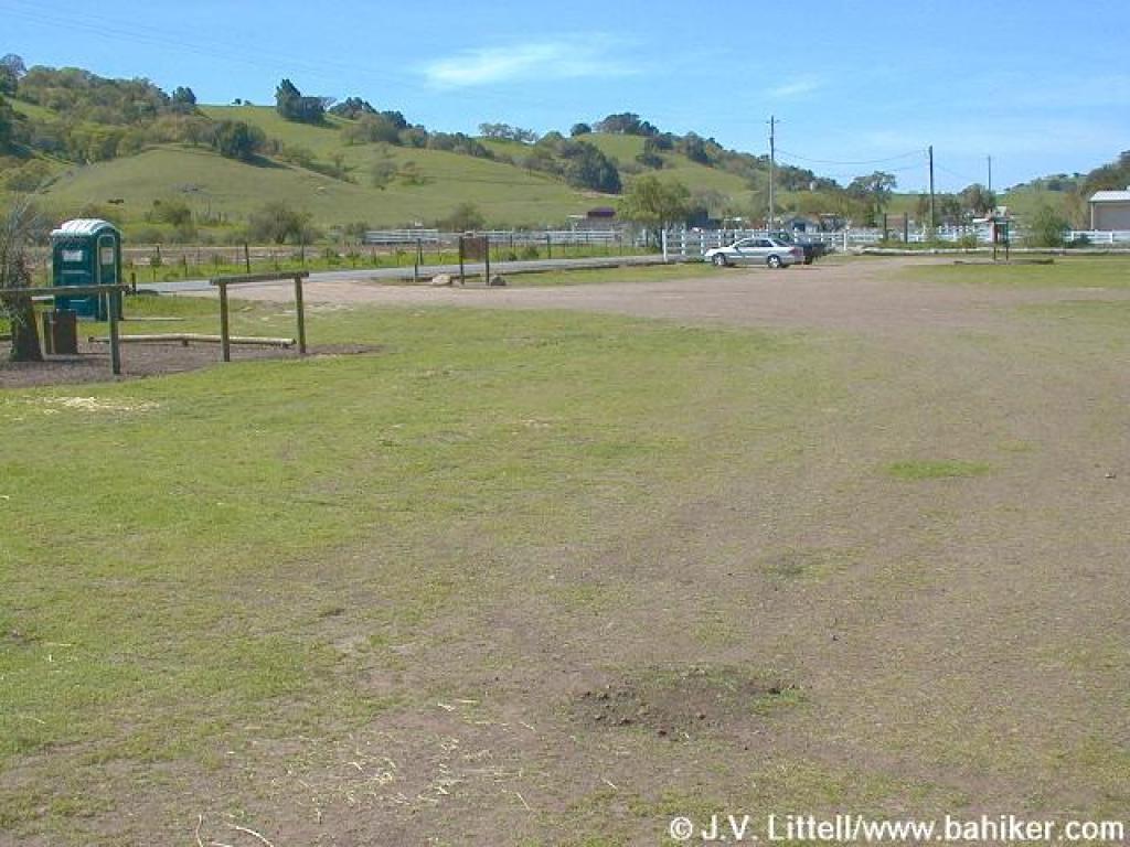 At the trailhead |
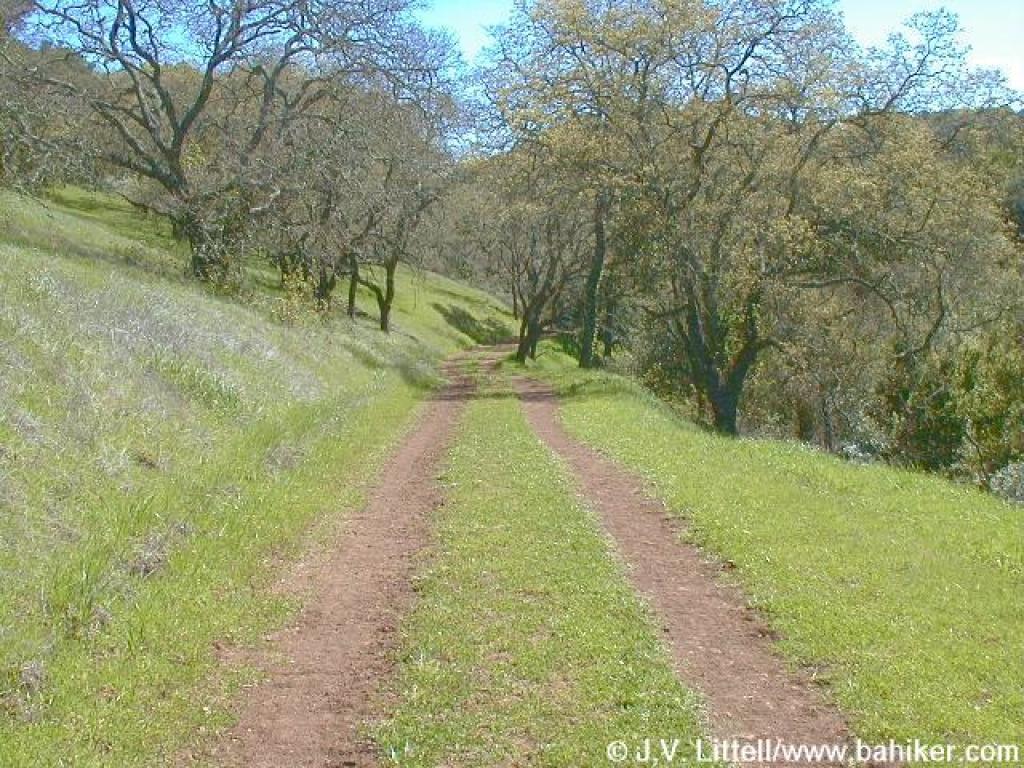
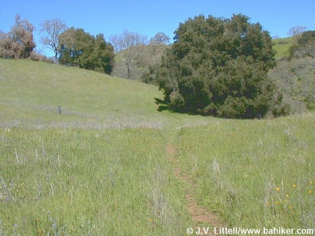
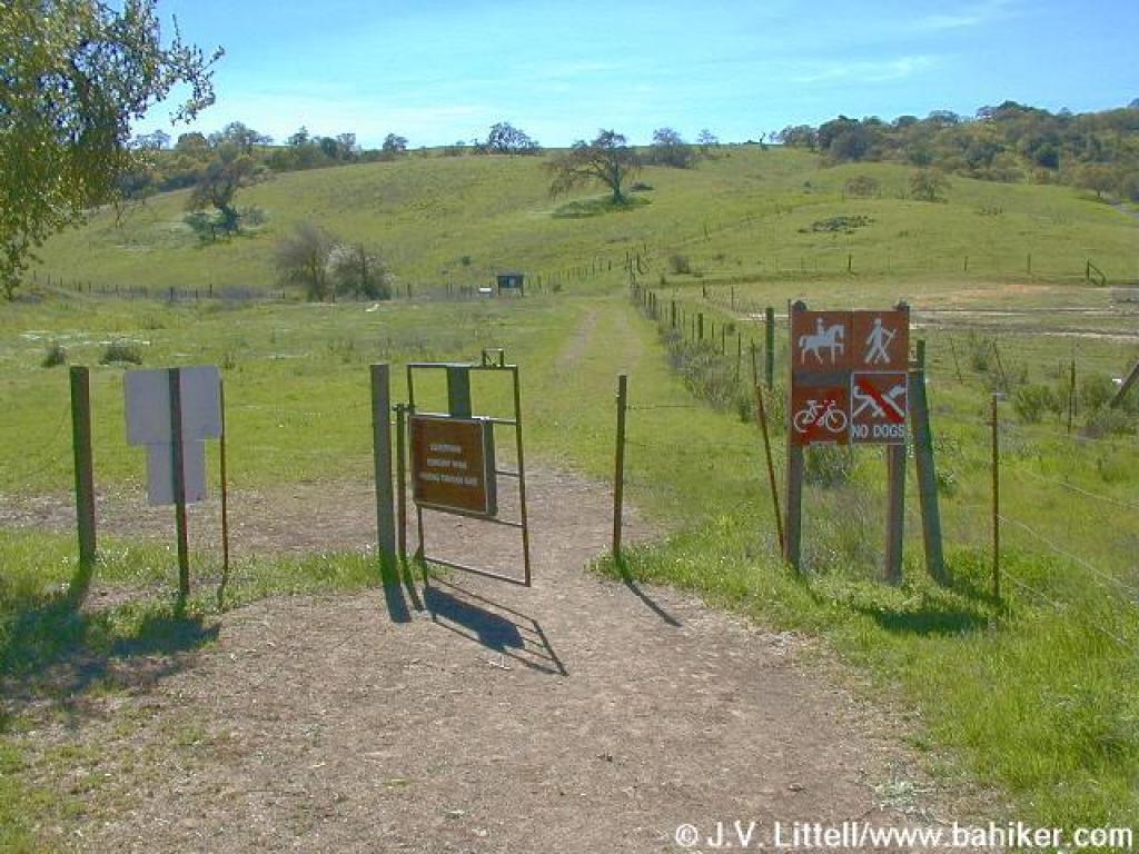 Starting out |
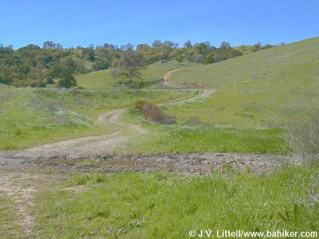
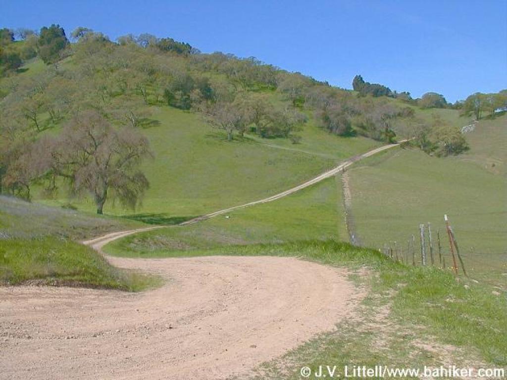
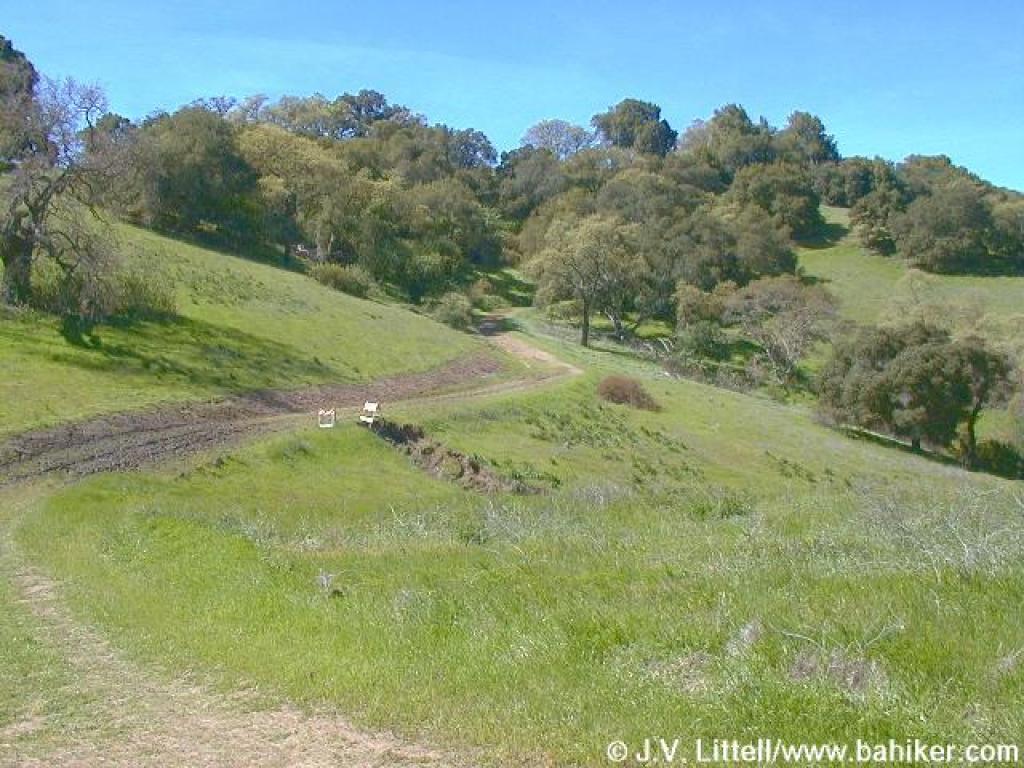
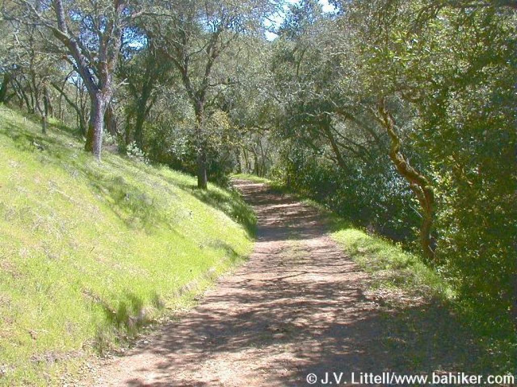
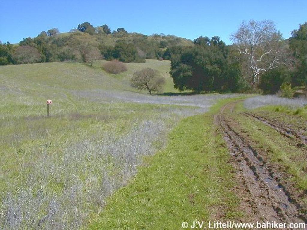
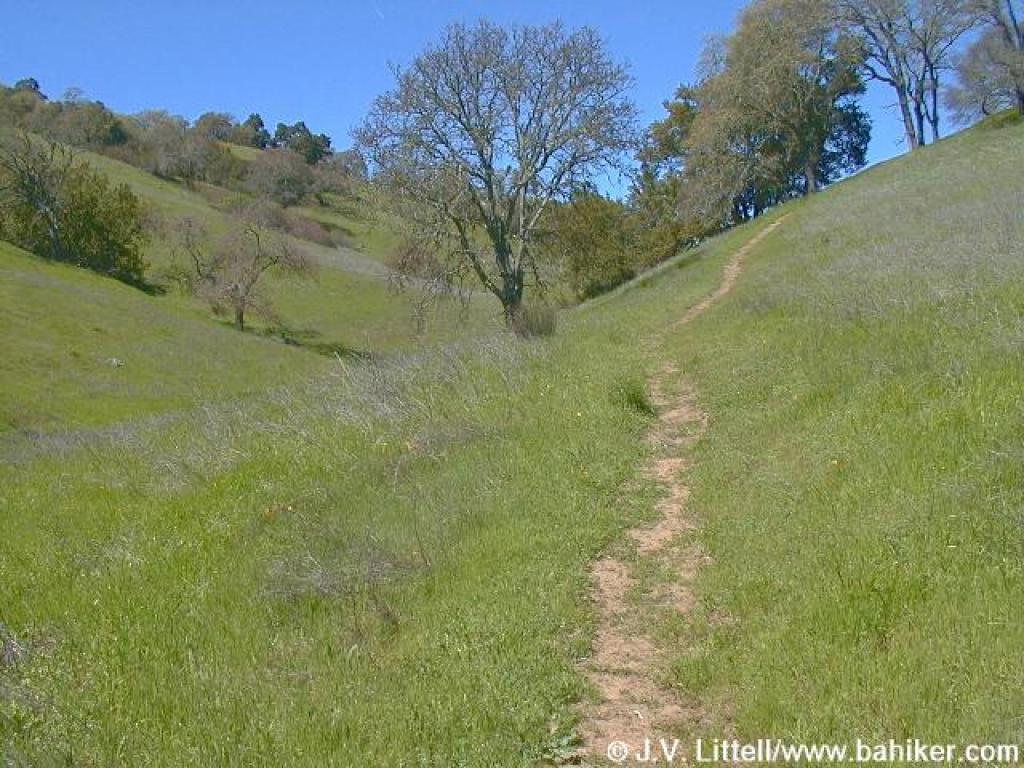
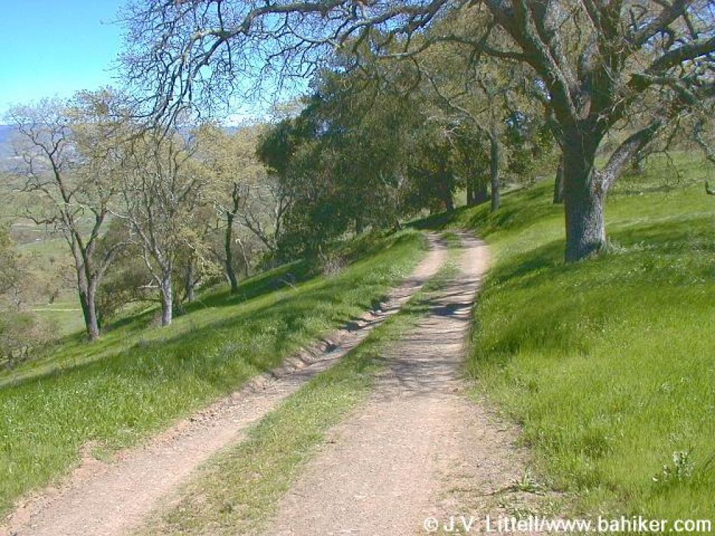
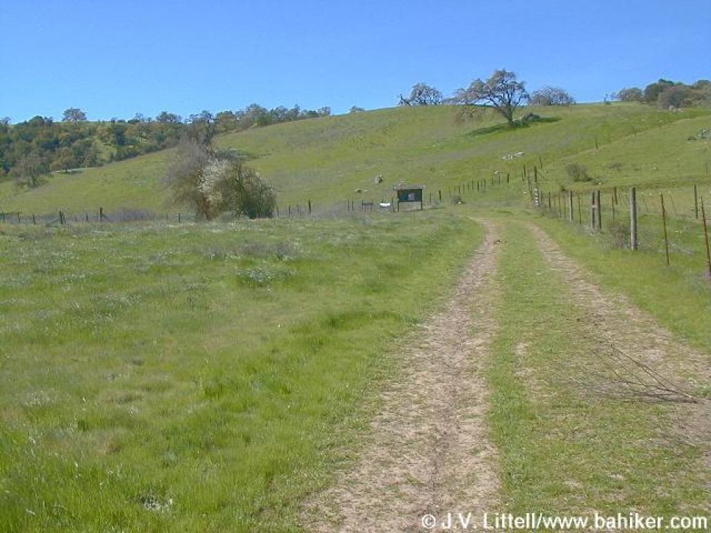 Connector to Los Cerritos |
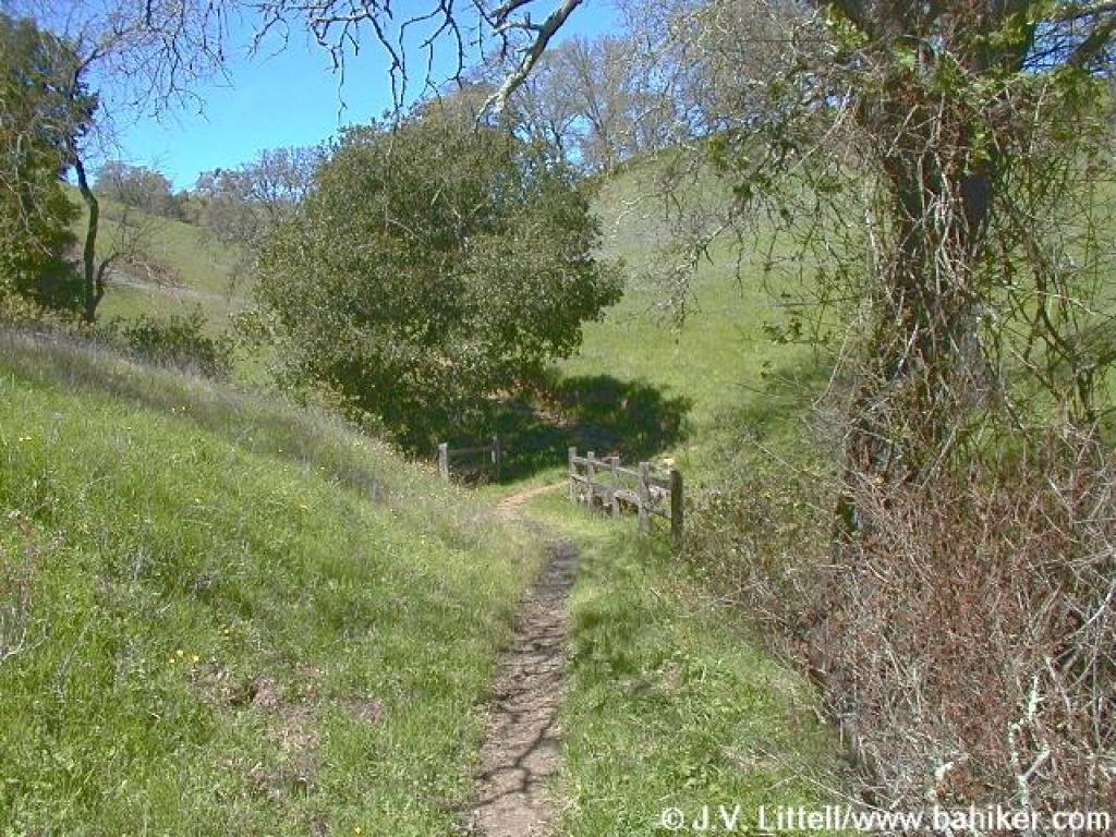
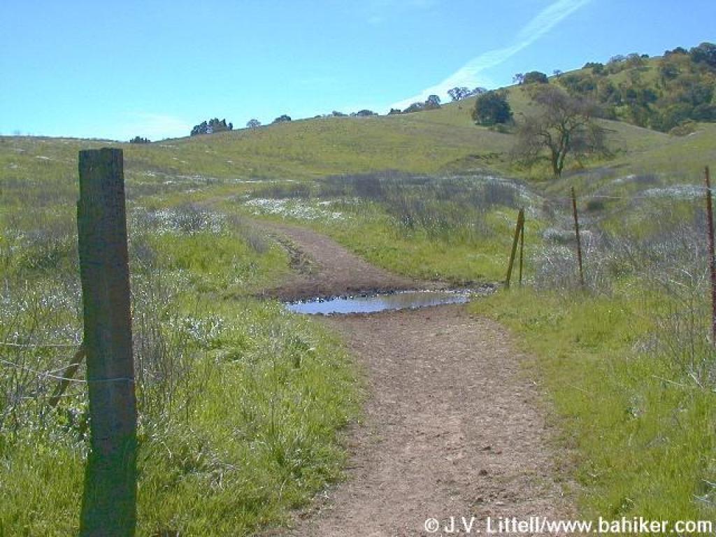 Crossing through a muddy spot |
||||
 Junction with Los Cerritos and Figueroa Trails |
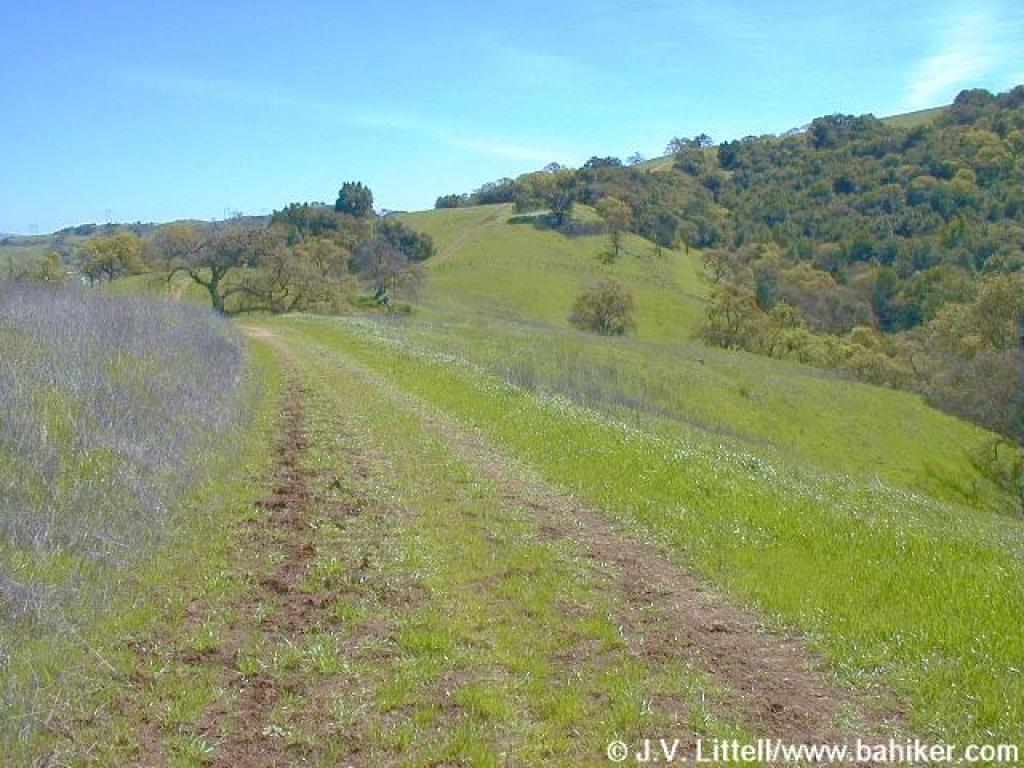
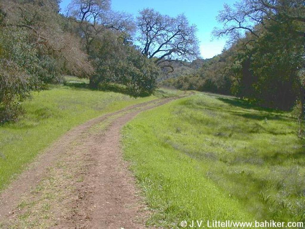
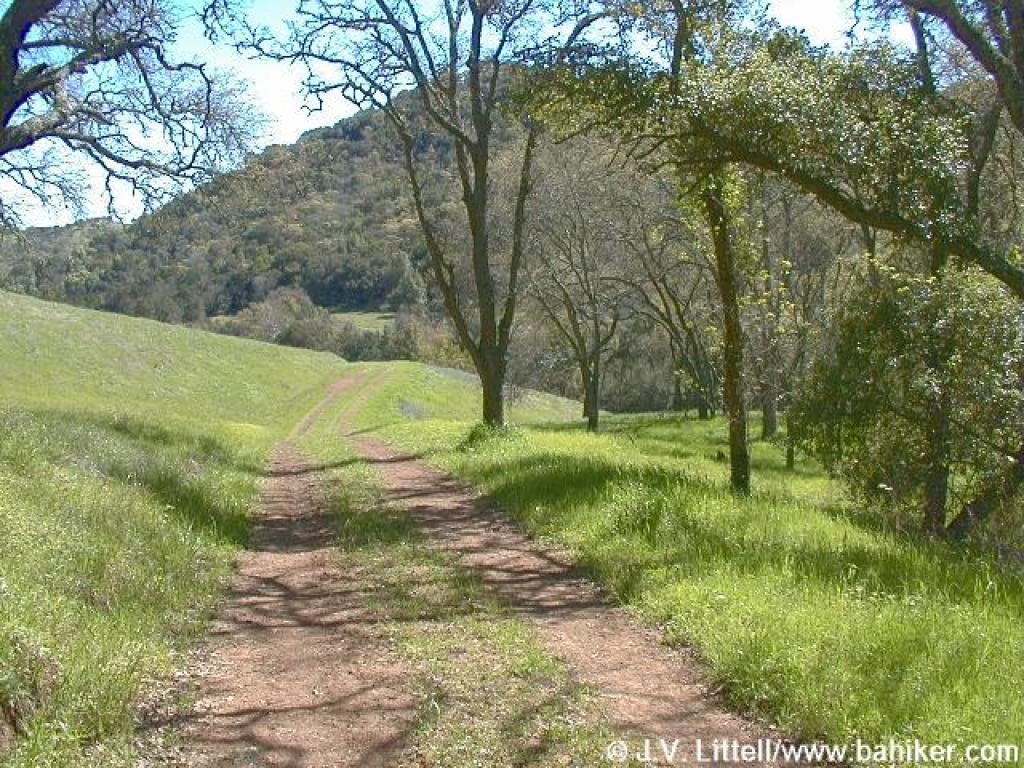
 Los Cerritos Trail |
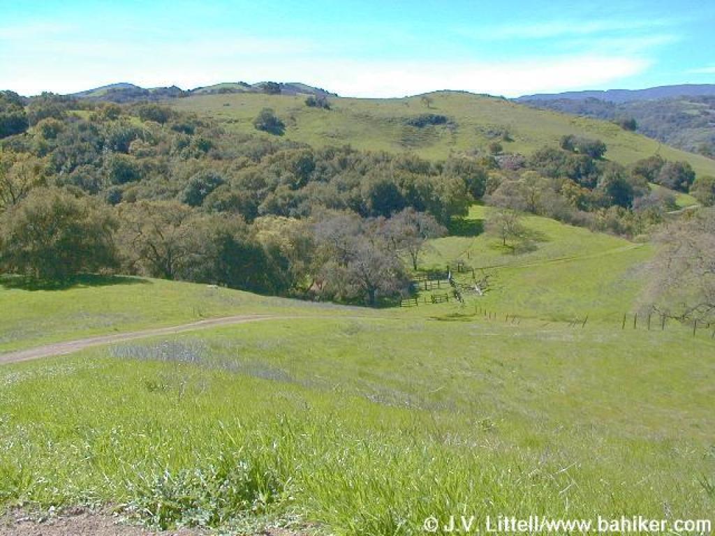
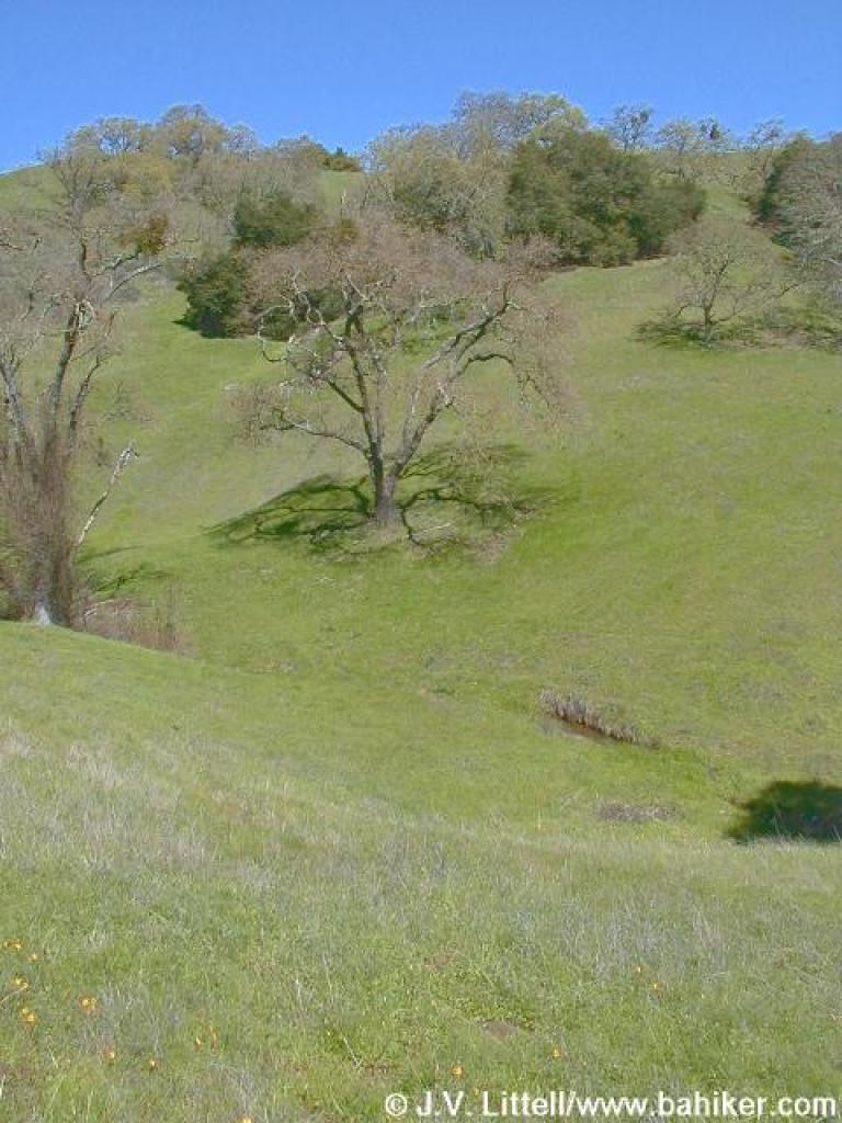
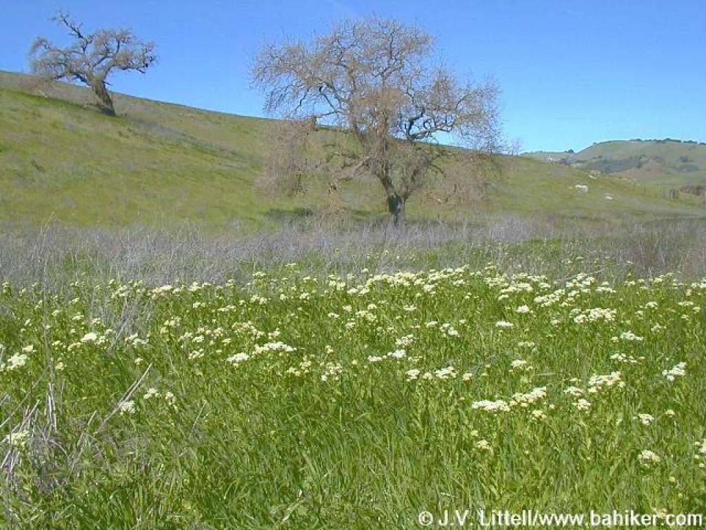 Spring flowers and oak trees |
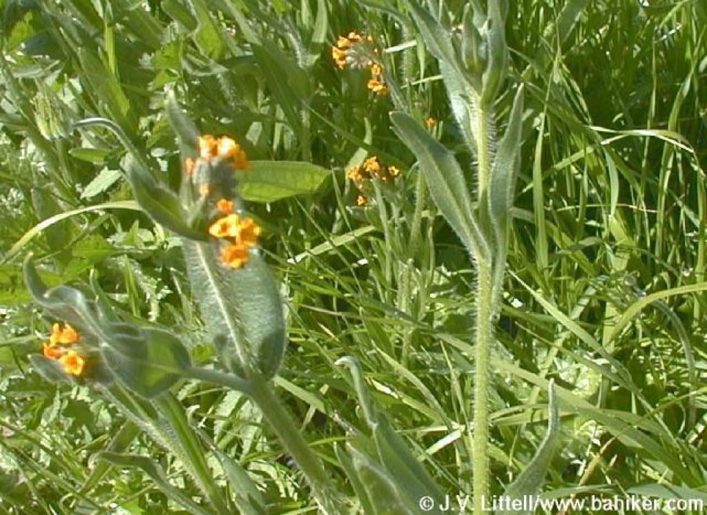 Fiddlenecks |
||||
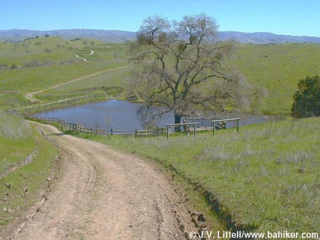
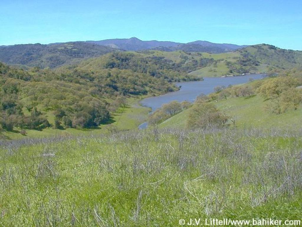
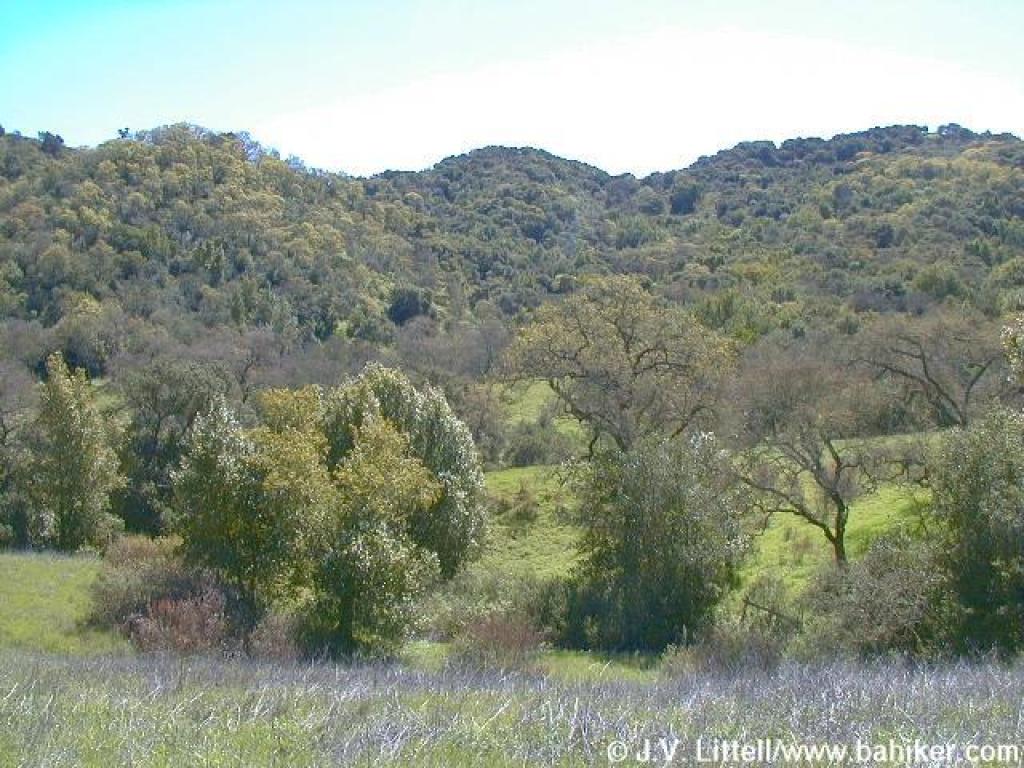
 Los Cerritos Pond |
 Looking back |
 The trail drops |
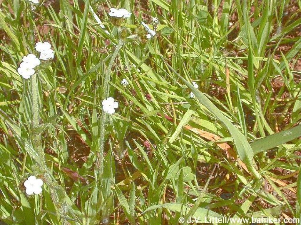
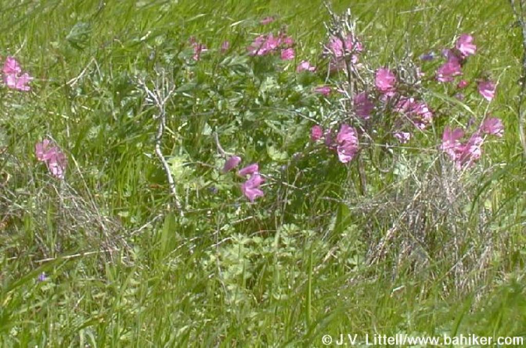 Checker-blooms
 |
||||
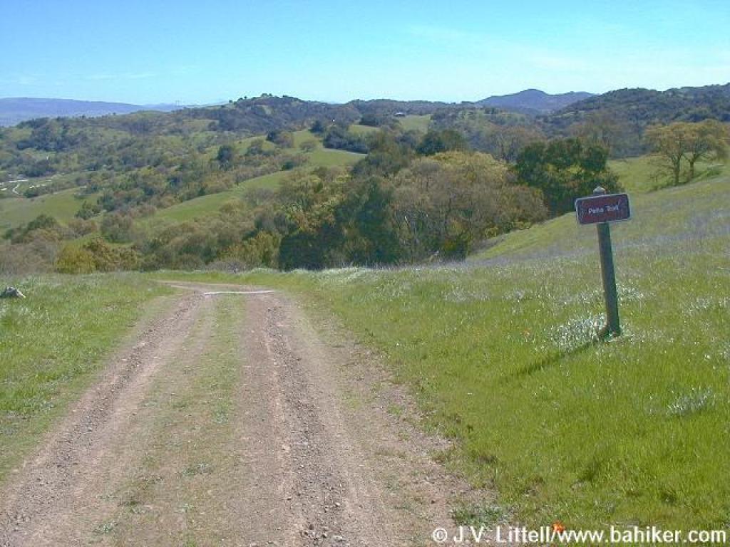
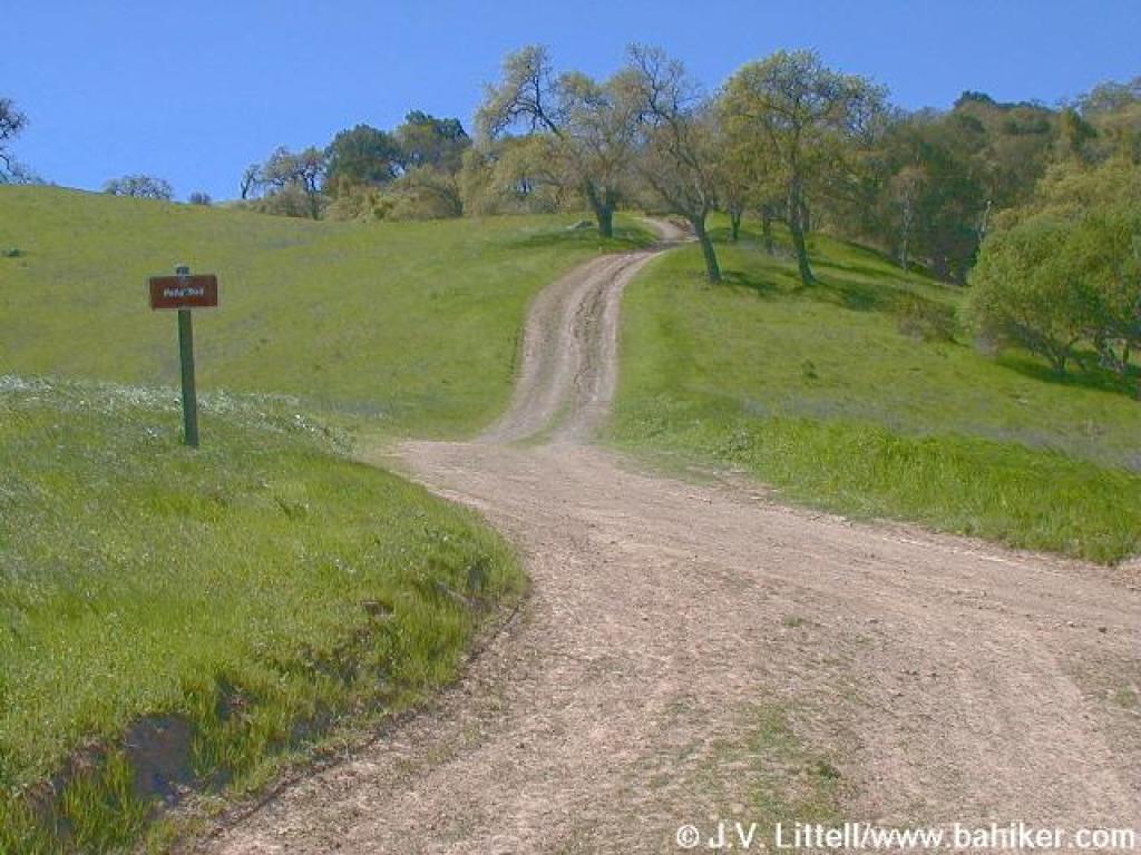 Junction with Peña Trail |
 Los Cerritos Trail |
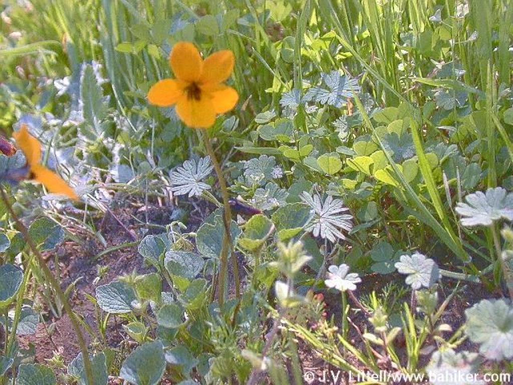
 Johnny jump-ups |
 California buttercups on the side of the trail |
||||
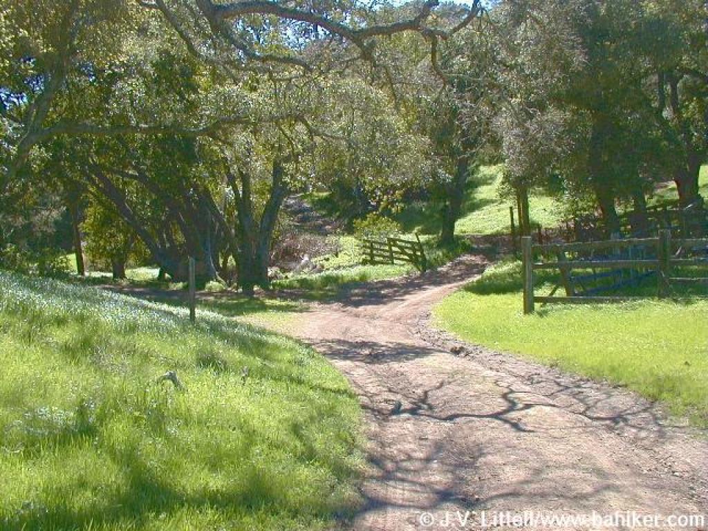
 Heading down to the stables |
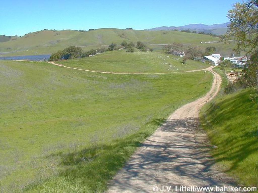 Los Cerritos Trail |
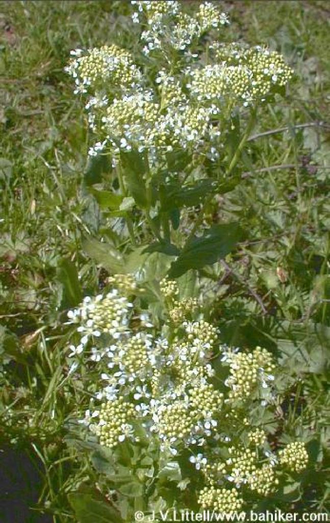
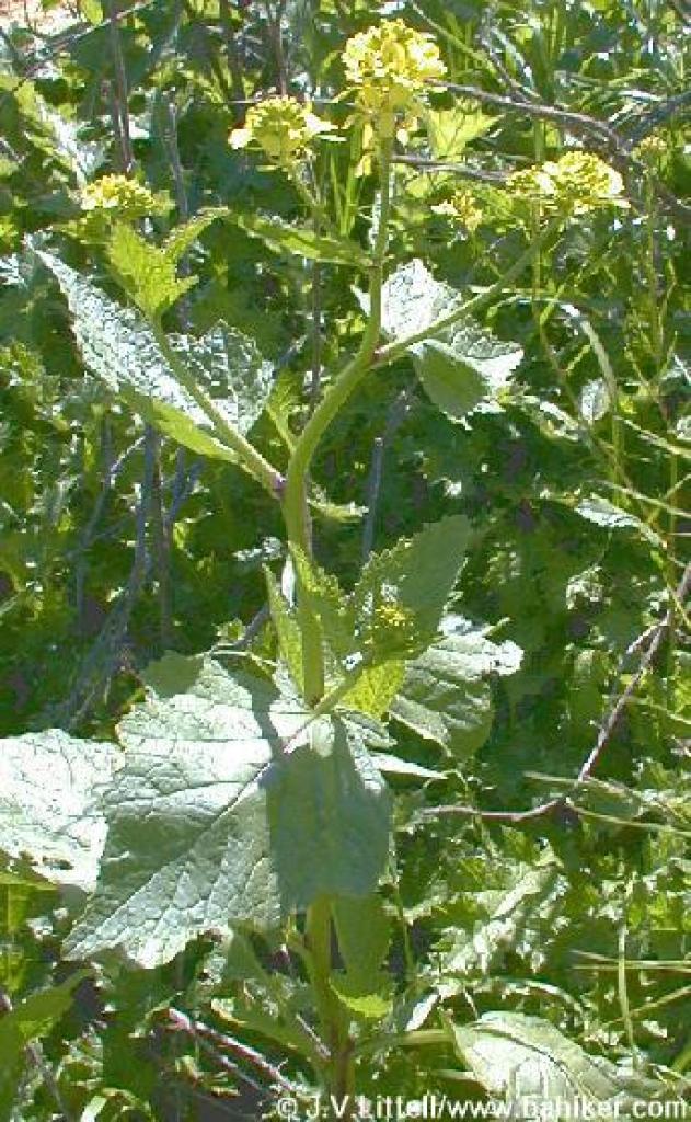 Mustard |
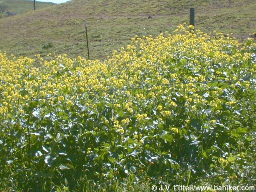 Mustard |
||||
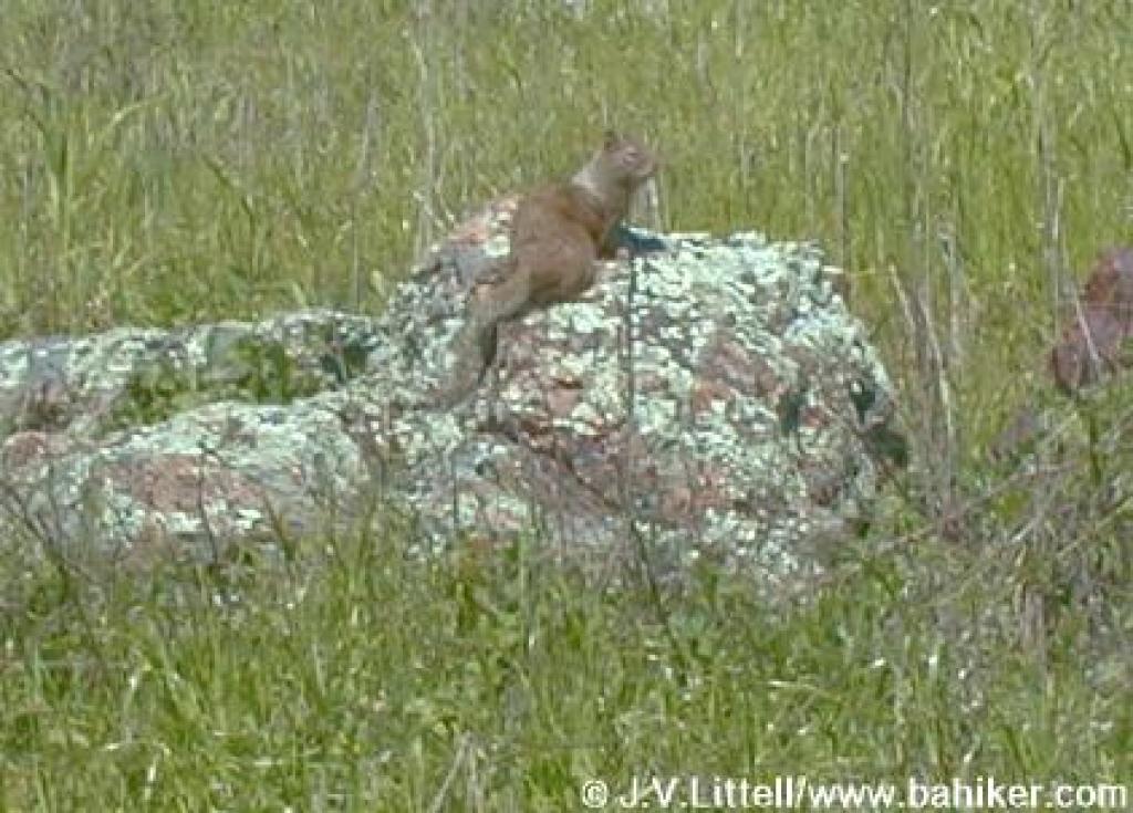 Squirrel |
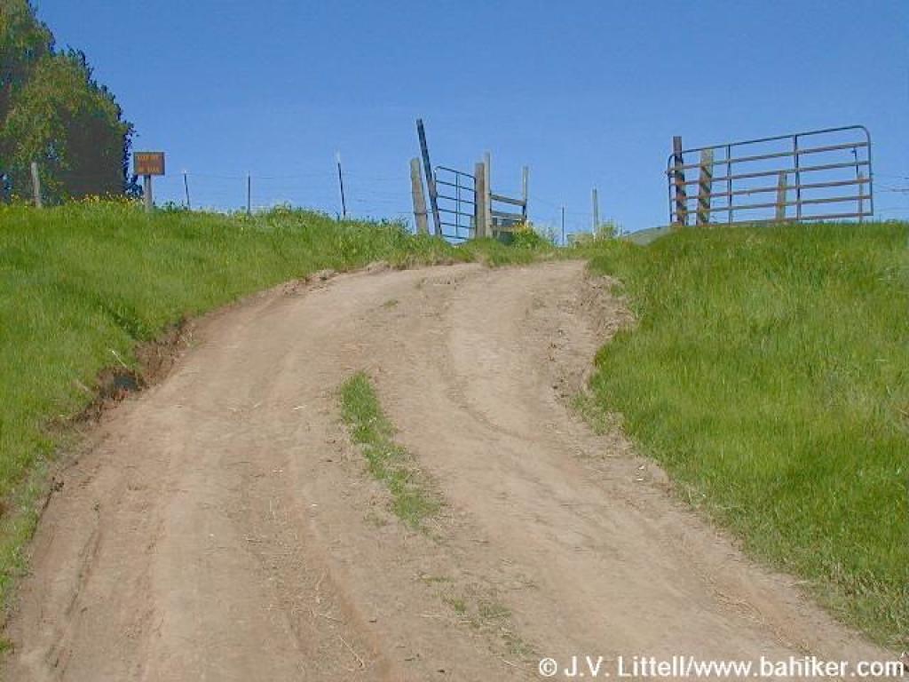 Through a gate |
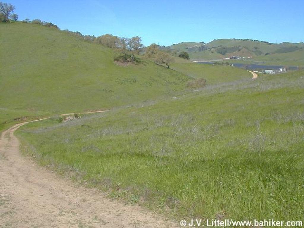
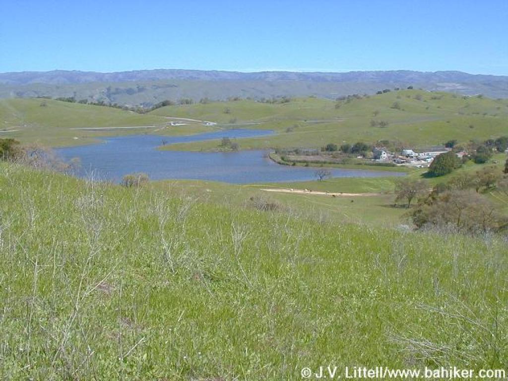
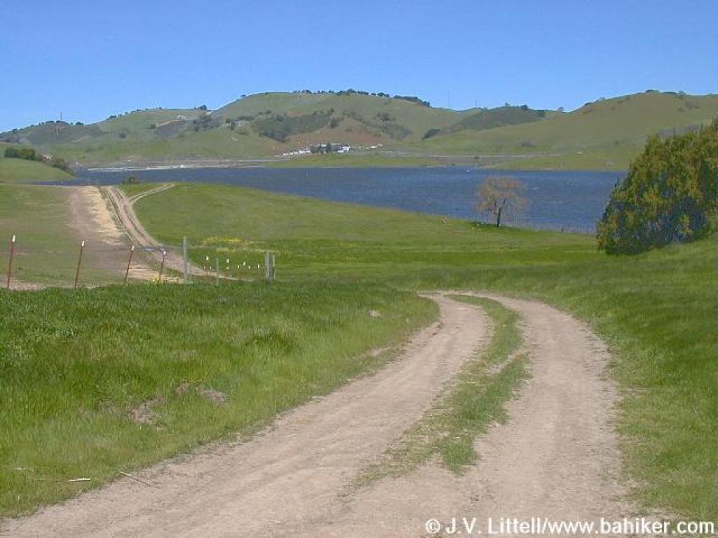 Nearing the reservoir |
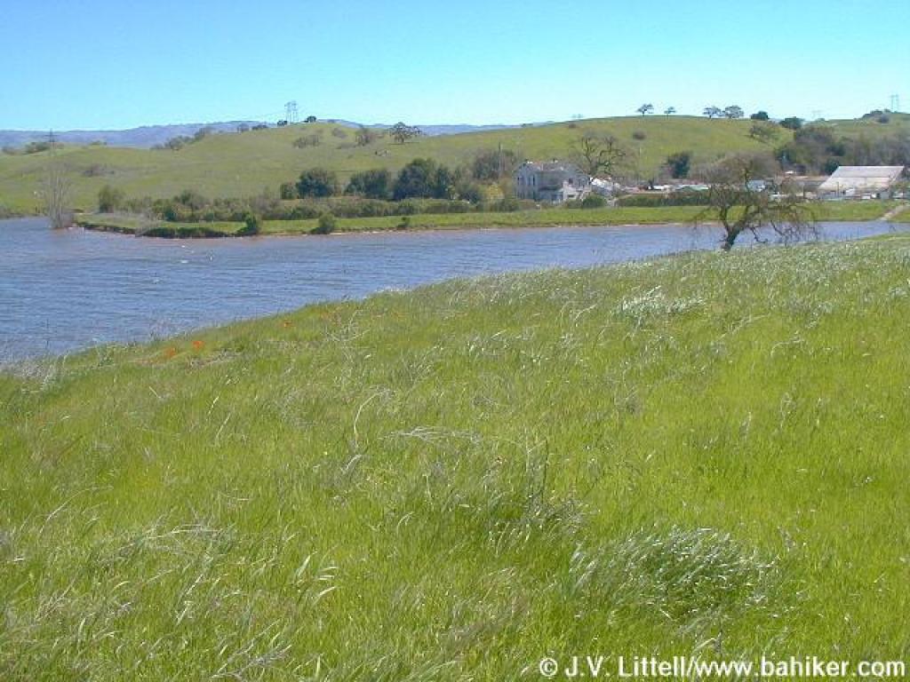 Looking back to Bailey Fellows House |
||||
 Los Cerritos Trail |
 Milkweed? |
 Blue-eyed grass |
 Blue-eyed grass |
||||
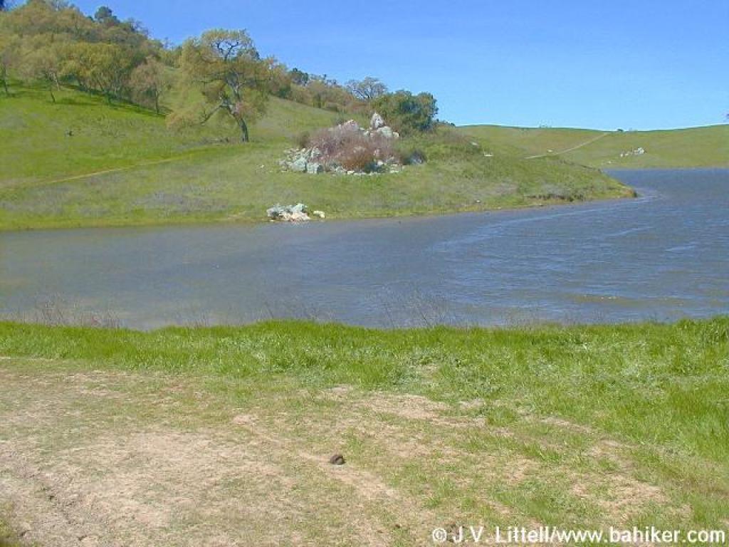 Near the water's edge |
 Reaching the edge of the reservoir |
 Looking back |
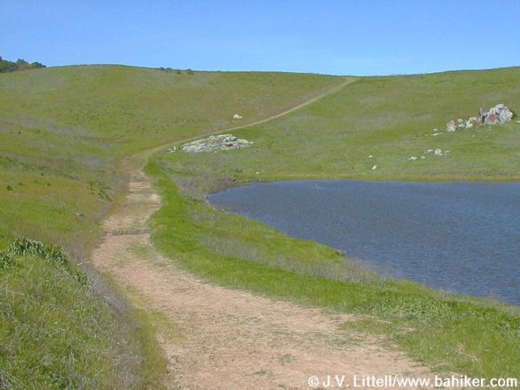
 Climbing away from the reservoir |
||||
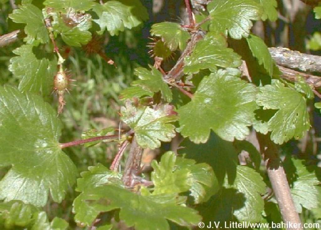 Gooseberry |
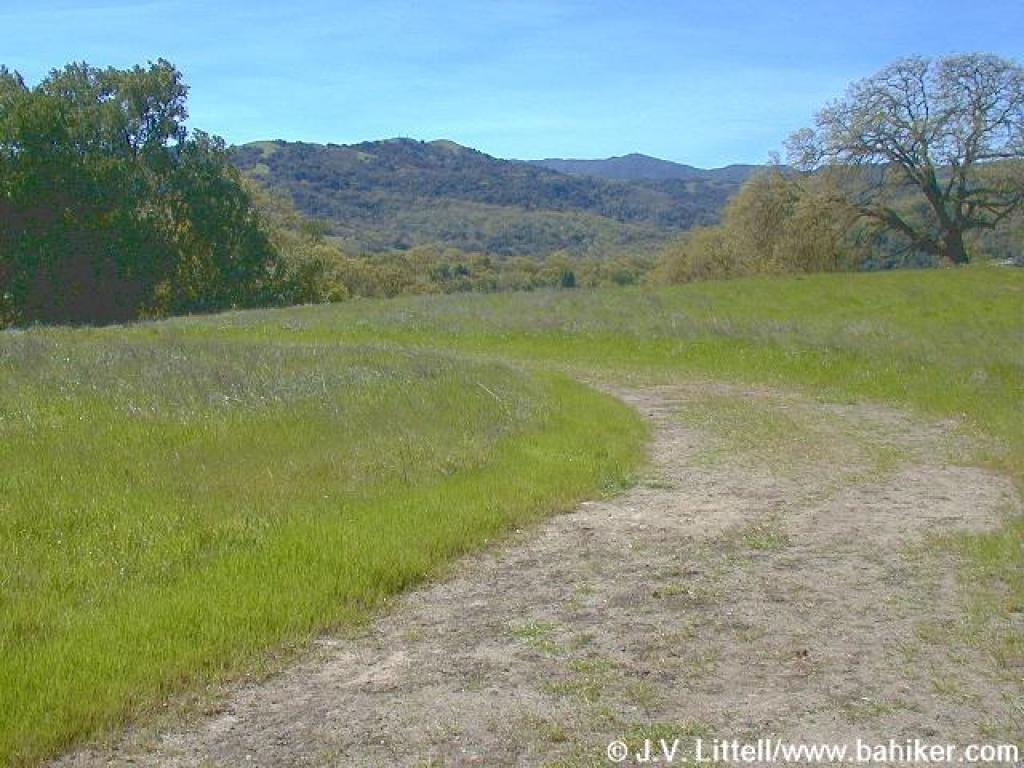 The trail reaches a flat spot |
 The peak spot for tiny flowers |
 Some tiny flowers |
||||
 Looking southwest |
 Popcorn flowers |
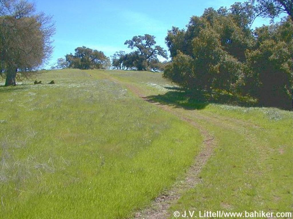
 Winding through the oaks |
 View to Cherry Cove |
||||
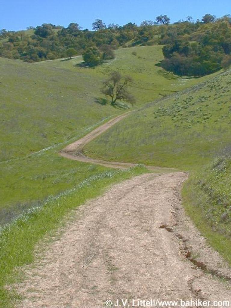
 The climb ahead is visible |
 Trail dips |
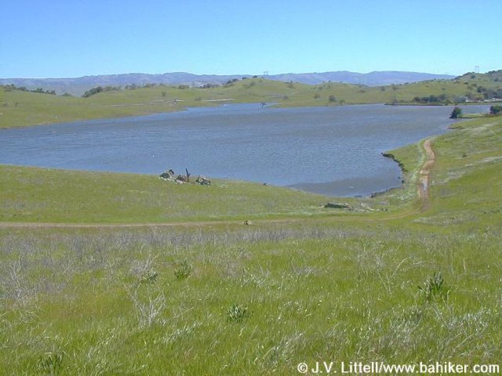
 Looking down to the reservoir |
 Junction with Peña Trail |
||||
 Looking downhill |
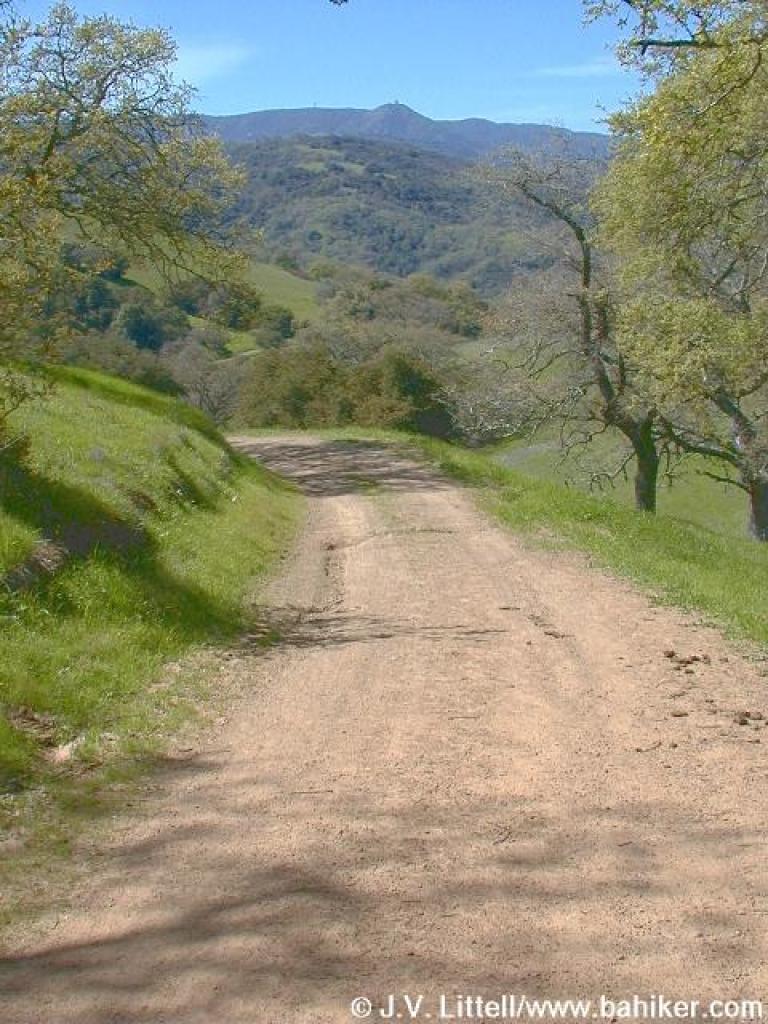
 Uphill on Peña Trail |
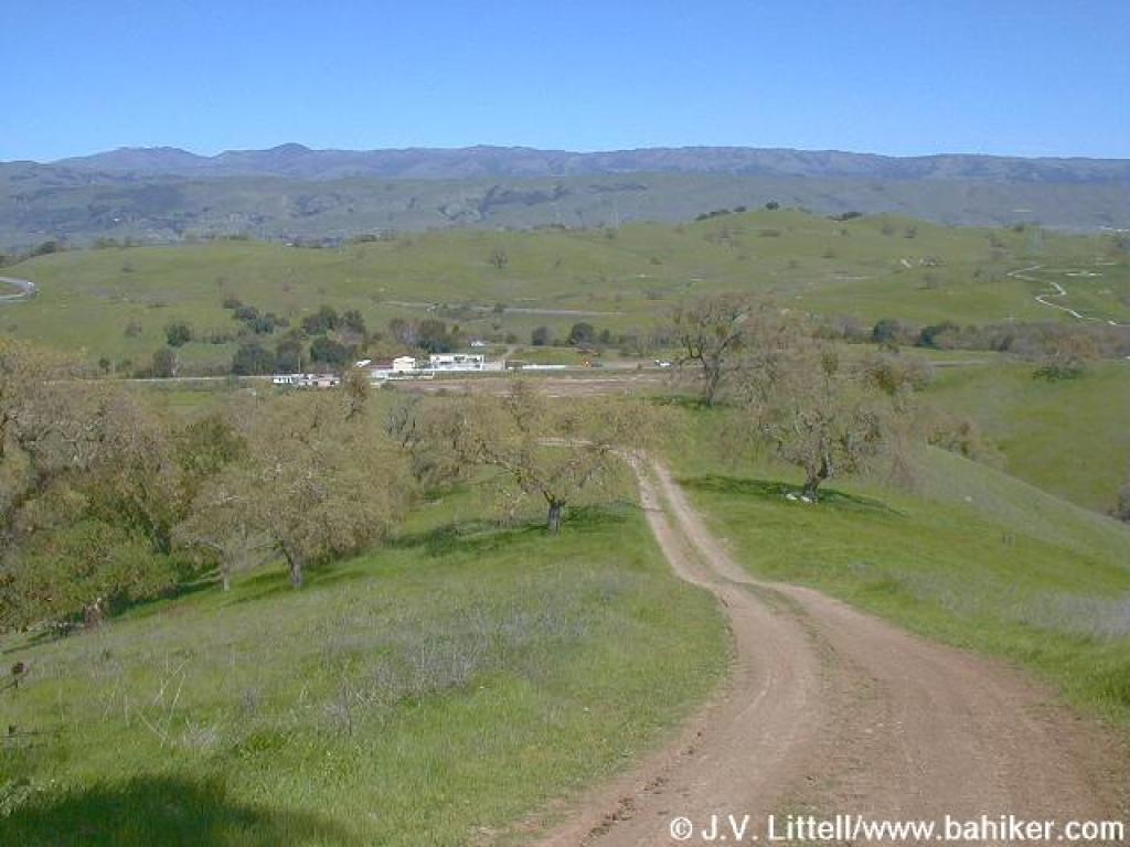
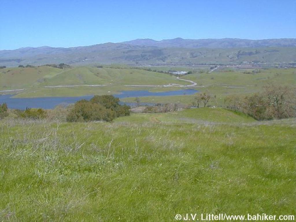 View, including Mount Hamilton in the distance |
 Near a watertank |
||||
 Curving downhill |
 Downhill |
 Near junction with Javelina Loop |
 Junction |
||||
 Figueroa Trail |
 Johnny jump-ups |
 Figueroa Trail |
 Hiking downhill |
||||
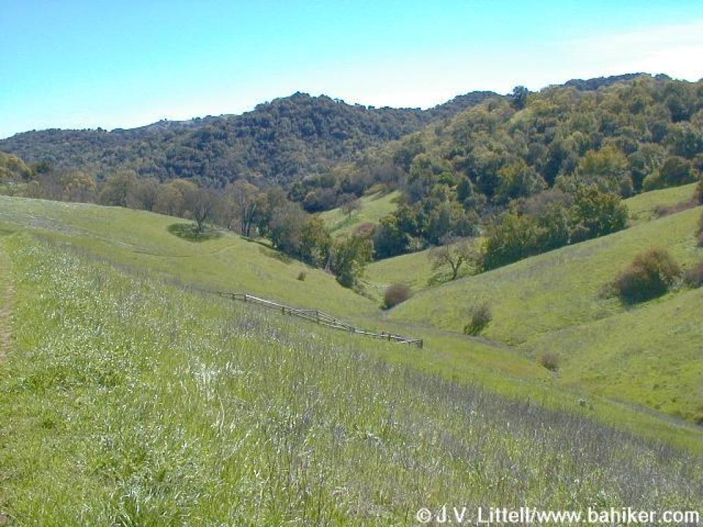
 Trail drops off downhill to a creek on the right |
 Approaching a meadow |
 Southwest |
 Northeast |
||||
 Junction |
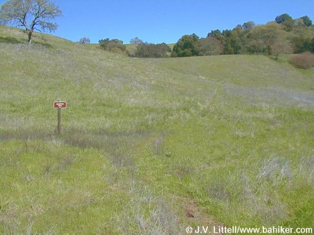 Almost invisible Vallecito Trail |
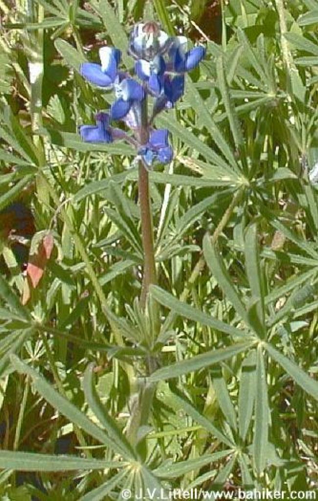 Tiny lupine |
 Vallecito Trail |
||||
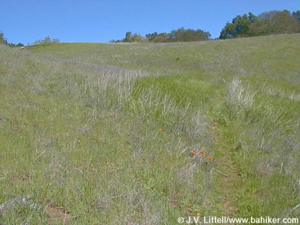
 Cutting through a meadow |
 Valley floor |
 Bridge |
 Climbing uphill |
||||
 Through the grass |
 Looking back down into the valley |
 Approaching junction |
 Downhill on the Peña Trail |
||||
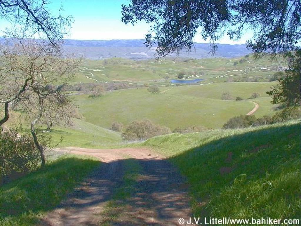 View downhill (including a golf course) |
 Downhill |
 Approaching the junction |
 Purple sanicle |
||||
 Returning on Los Cerritos |
Go to Bay Area Hiker Calero page Go to Bay Area Hiker Home page |
||||||