| Photos from a hike
to Carson Falls (click on any image for a larger view) |
|||||||
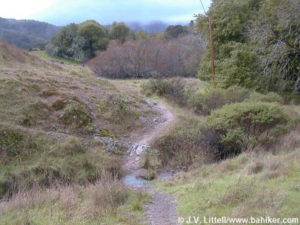
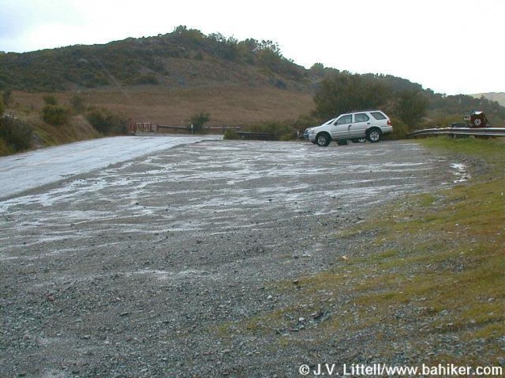 Trailhead |
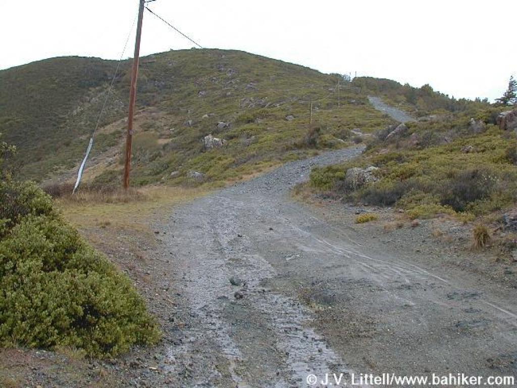
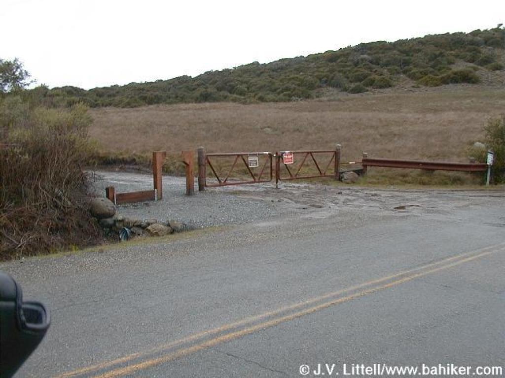 Gate |
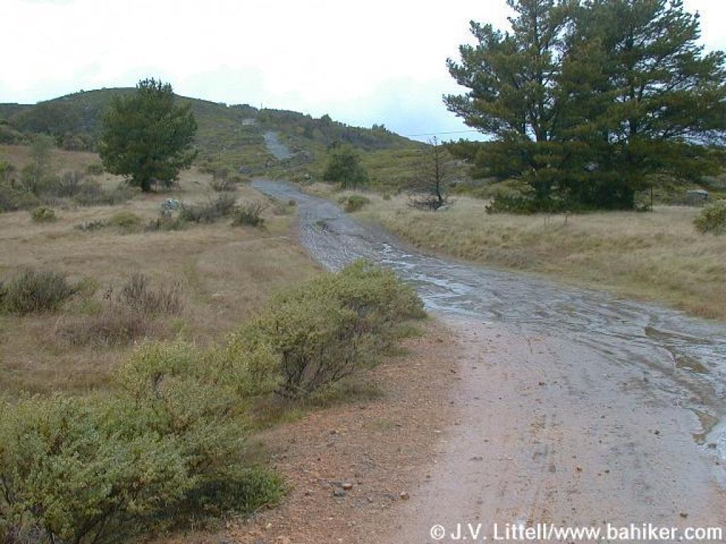
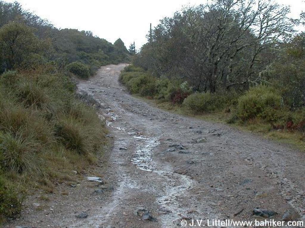
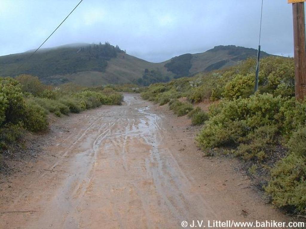
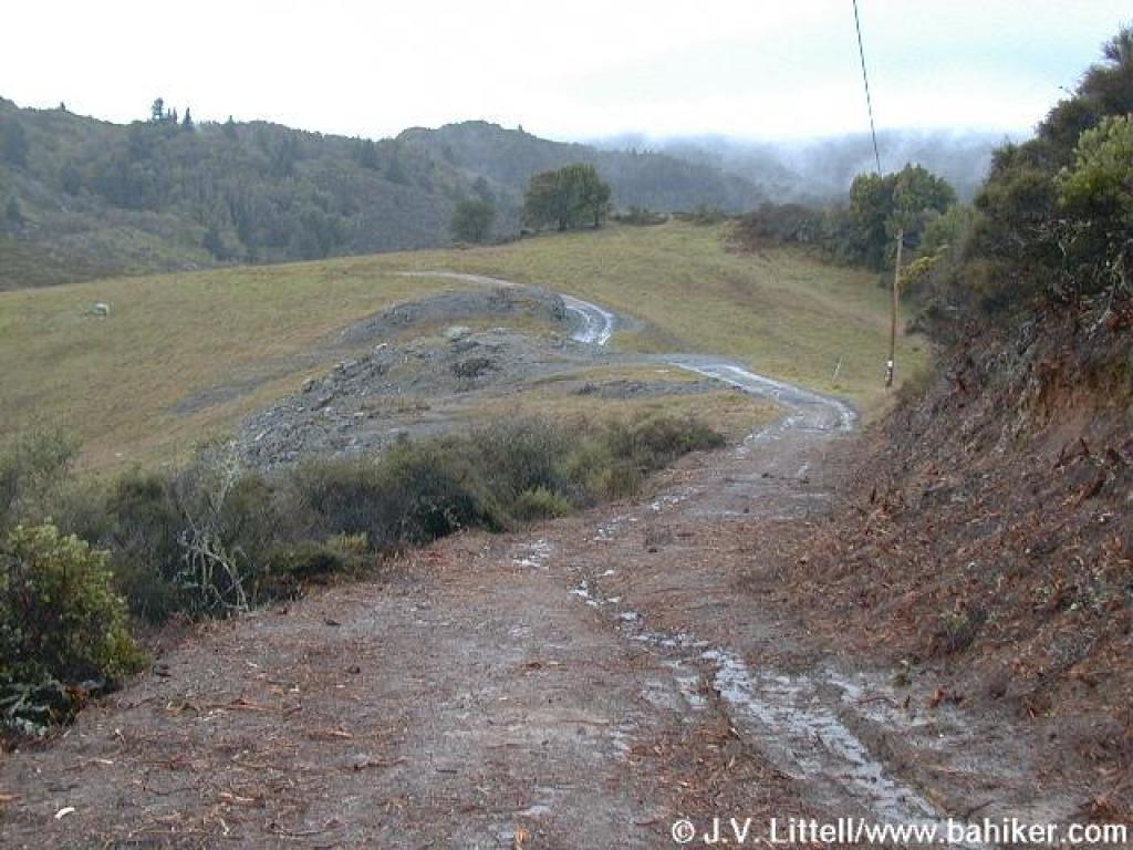
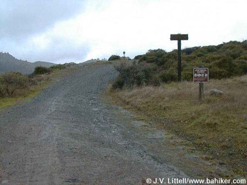 Start of Pine Mountain Road |
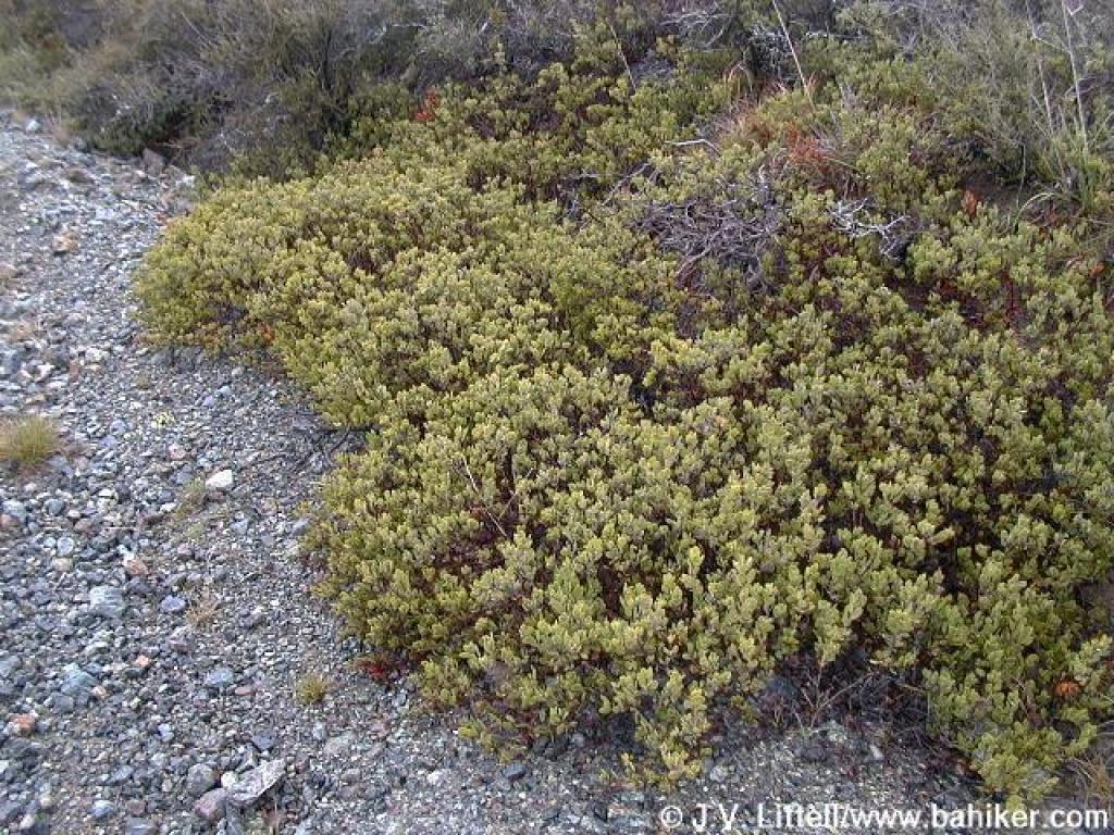 Manzanitas grow close to the ground in serpentine soil |
||||
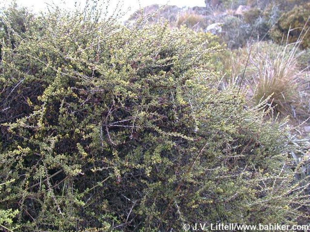 Chamise |
 The trail ahead is visible |
 Last flat stretch for awhile |
 The ascent begins |
||||
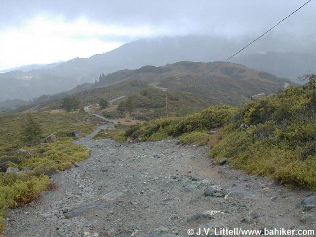
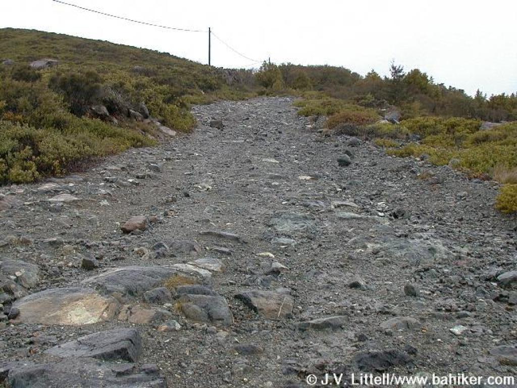 Fire road is very rocky |
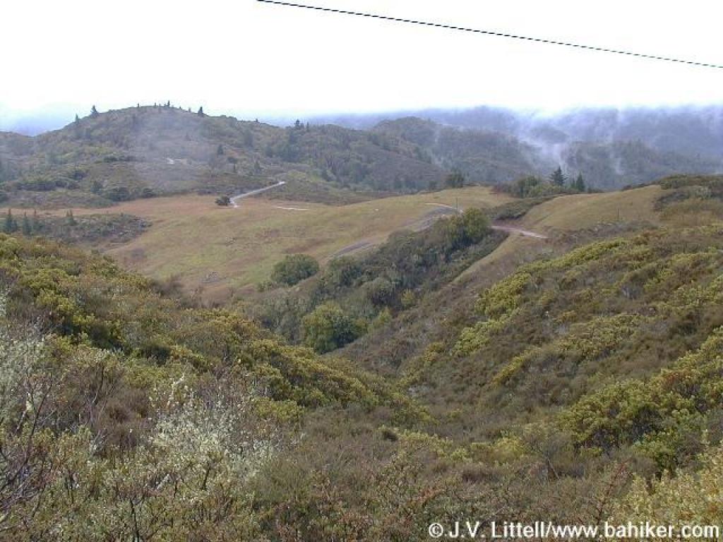
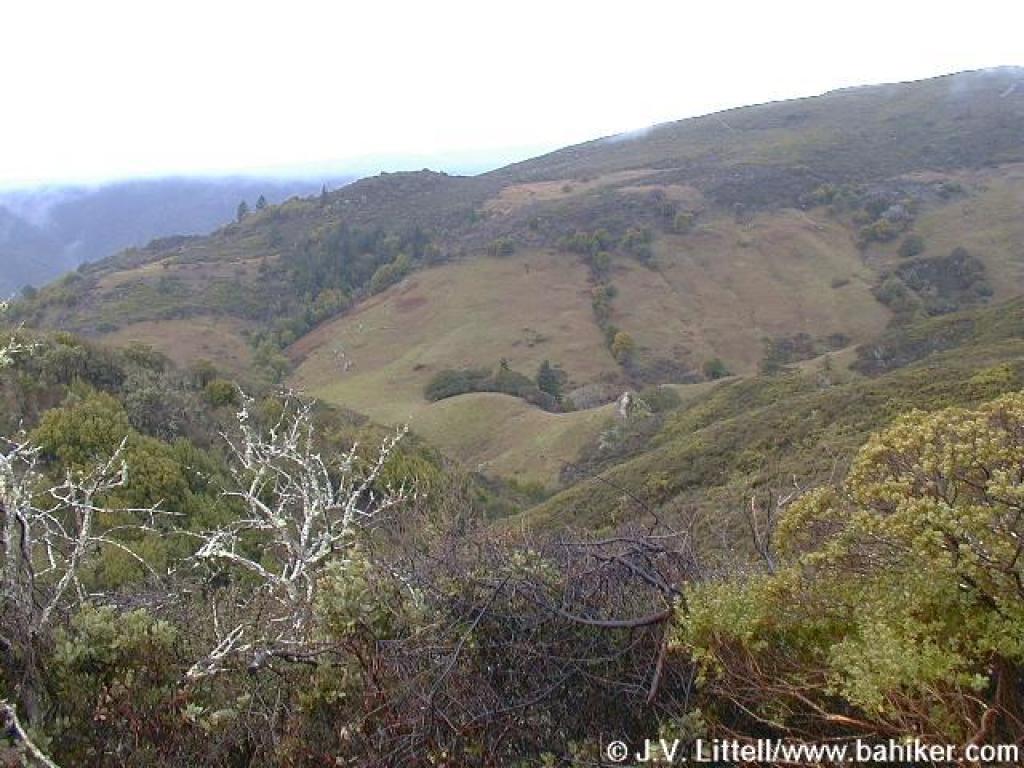
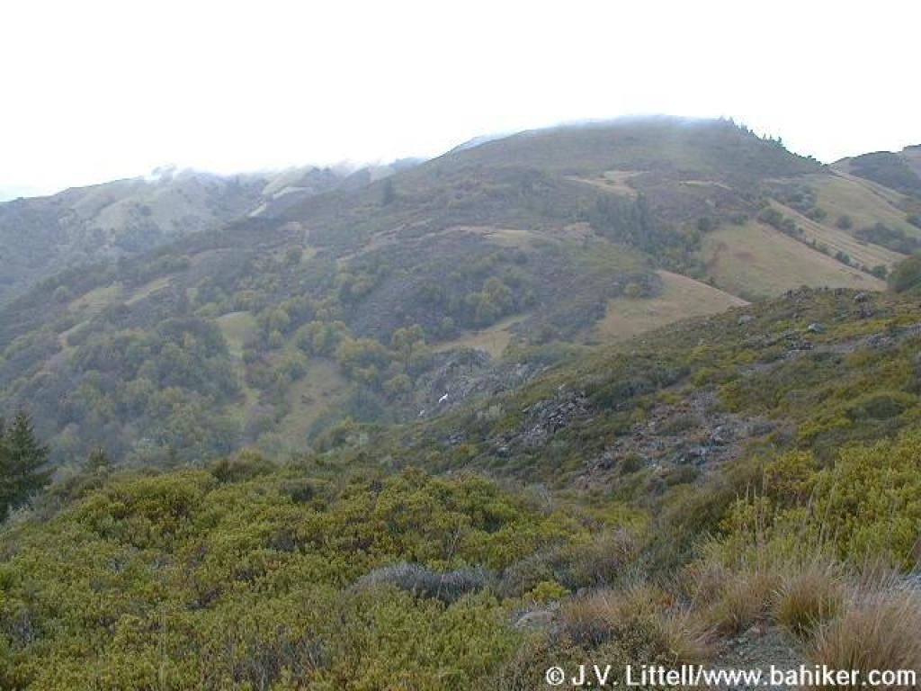
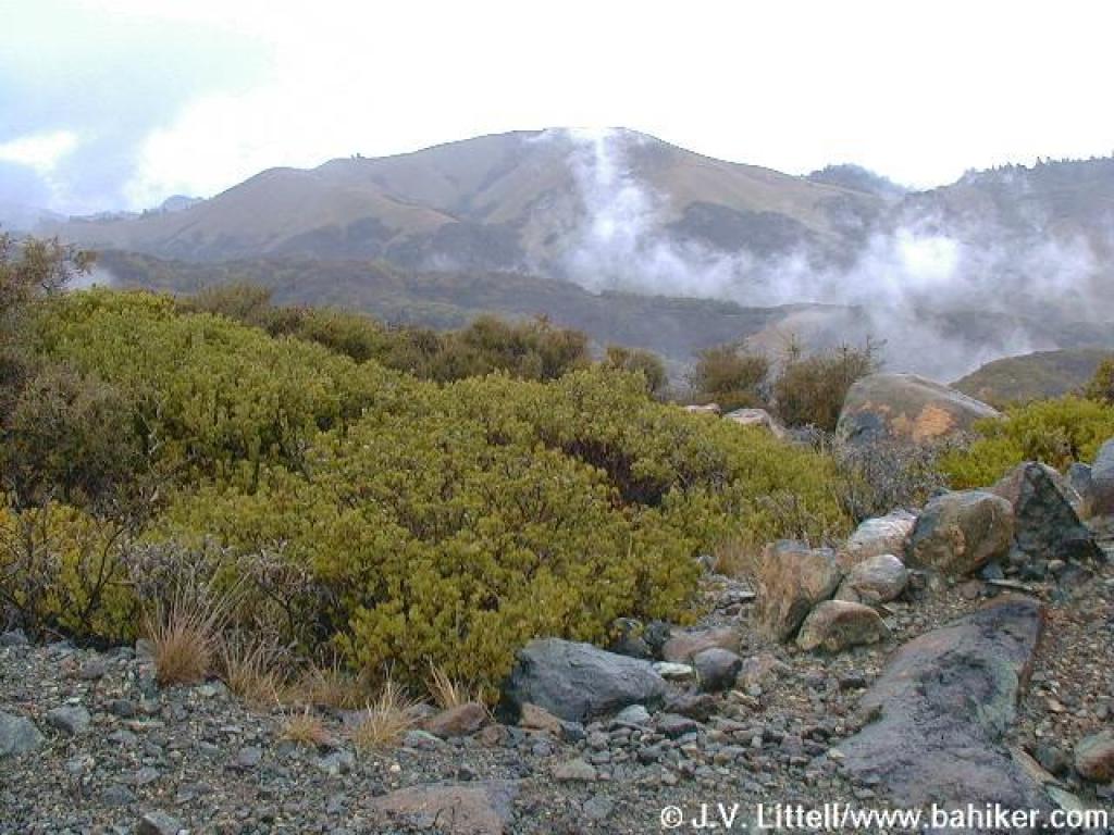 View northeast |
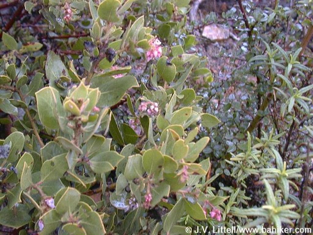 Blossoming manzanita |
 A steep ascent continues |
||||
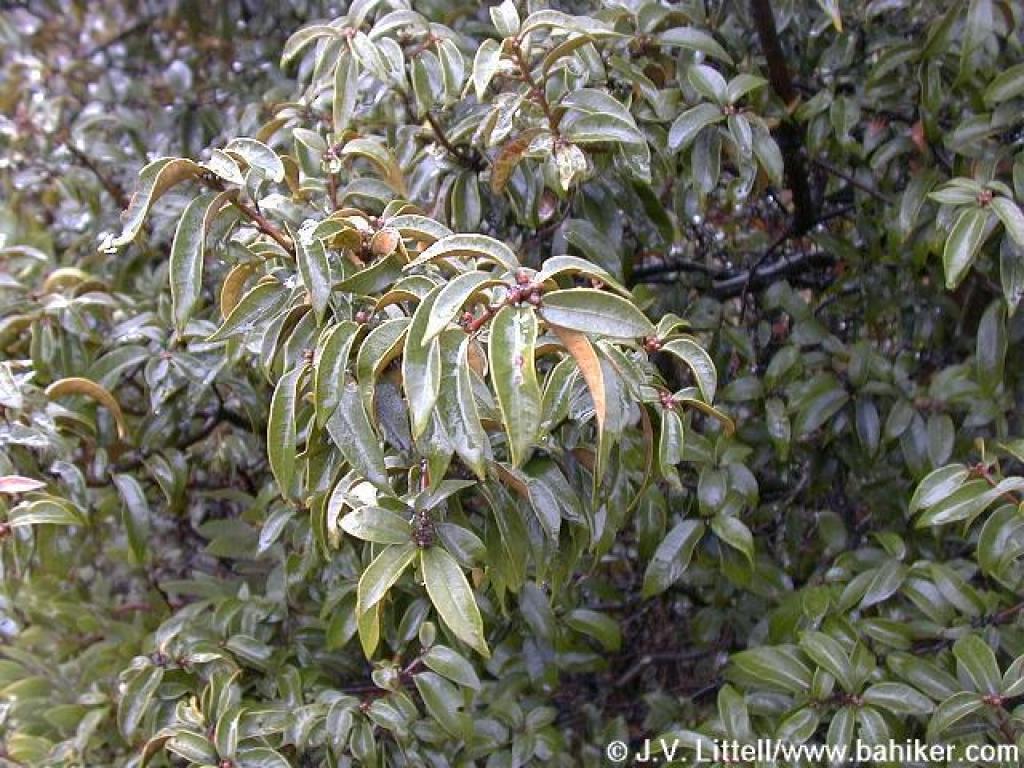 Chinquapin |
 Flat spot |
 Oat Hill Road is visible to the west |
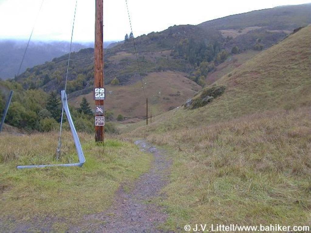
 Approaching junction |
||||
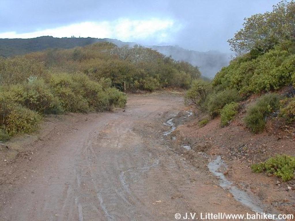
 Oat Hill Road descends through chaparral |
 Looking north to the top of Pine Mountain |
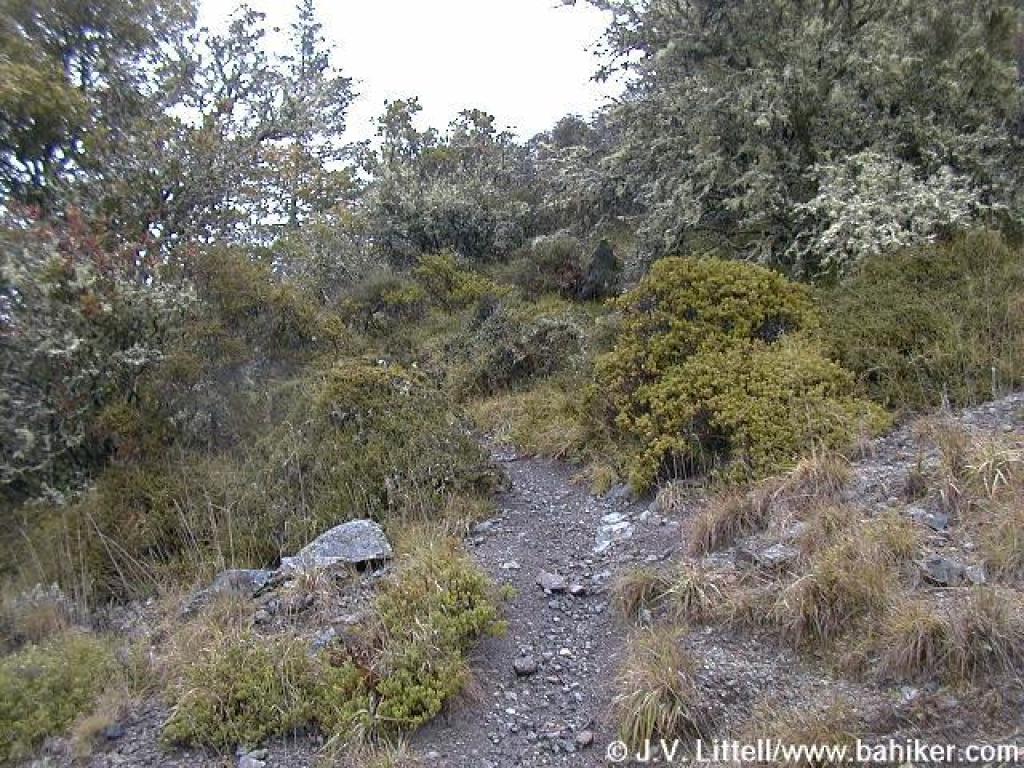
 Chaparral briefly gives way to grassland |
 Patch of snow |
||||
 Approaching junction with path to falls |
 Junction |
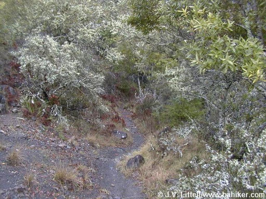
 Path to falls |
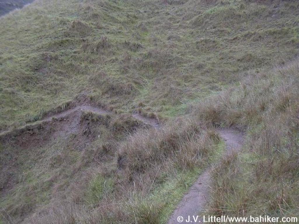 Very narrow path can be tricky in the rain |
||||
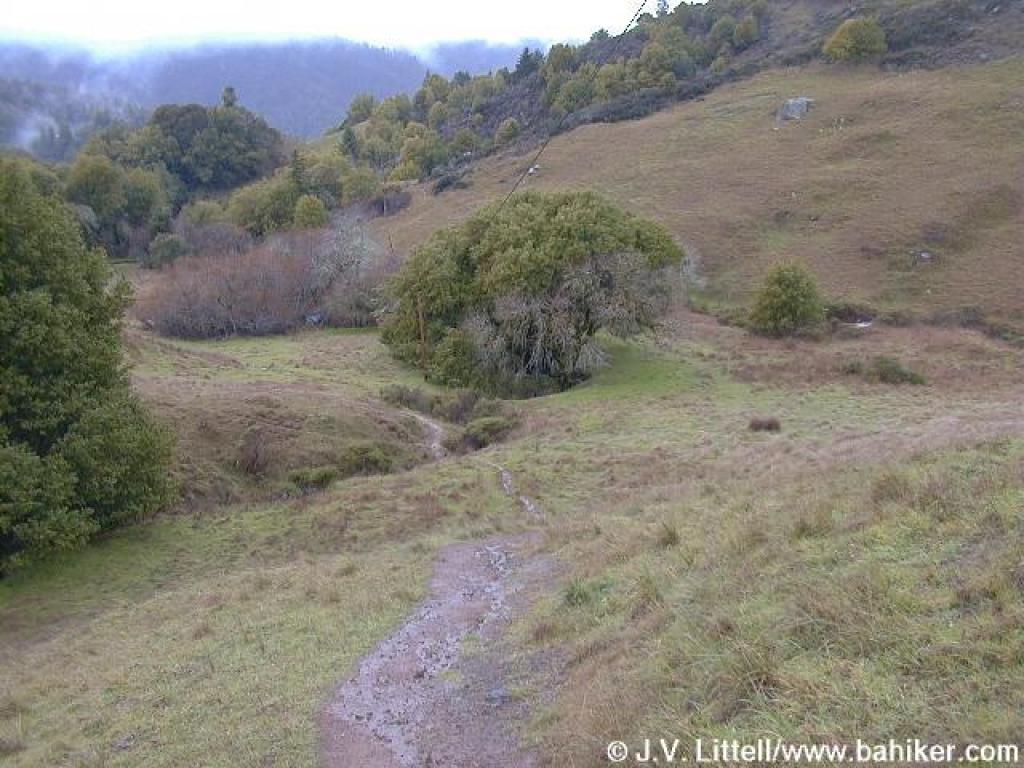 Path flattens out in a little valley |
|
 Near the falls |
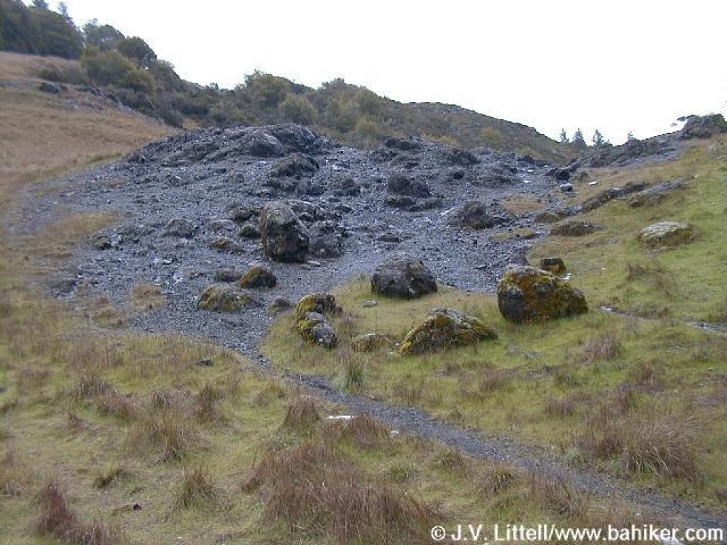 Rocky swale; the path back uphill begins here |
||||
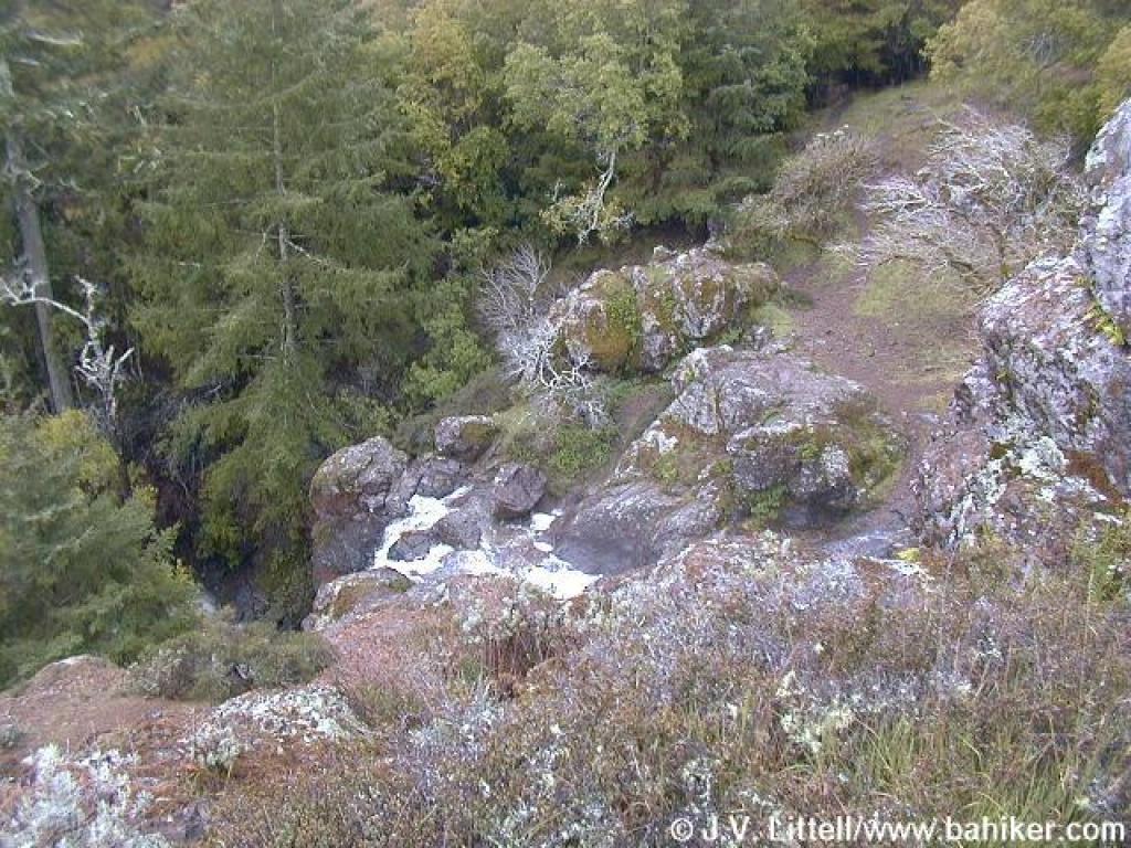
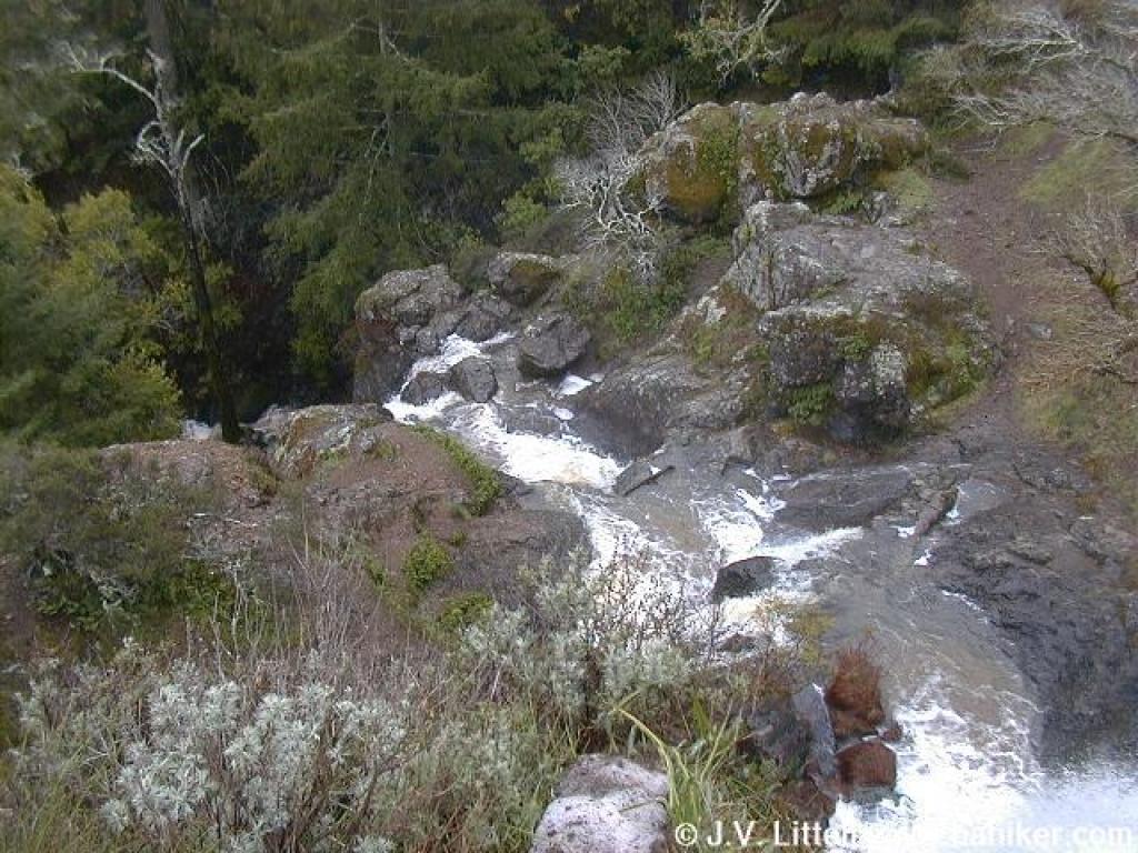
 First glimpse of the falls |
 Initial cascade |
 Another view from the side, looking downhill |
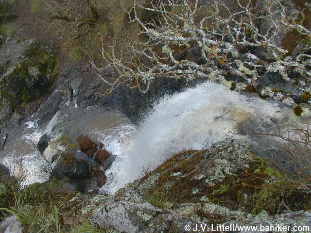 Rush of water beneath a buckeye tree |
||||
 Carson Falls |
 Path through the rocky swale heads uphill |
 Heading through some trees |
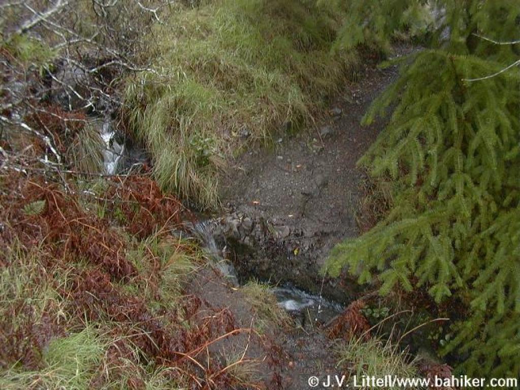 Creek crossing |
||||
 View back to the north |
 Path can be hard to pick out at times |
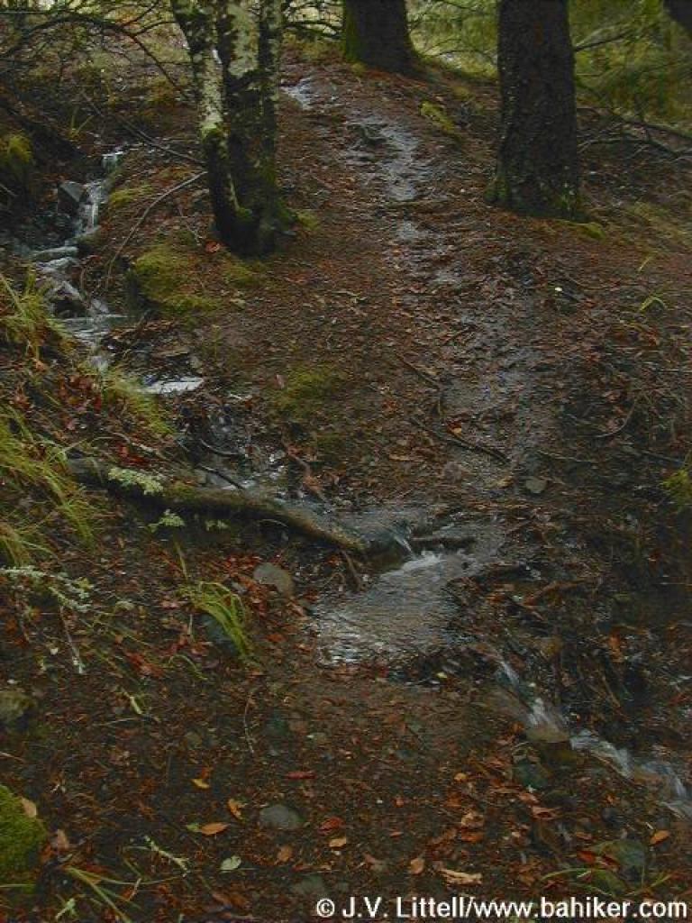 Path and creek |
 Path curves to the left and continues to climb |
||||
 California bay |
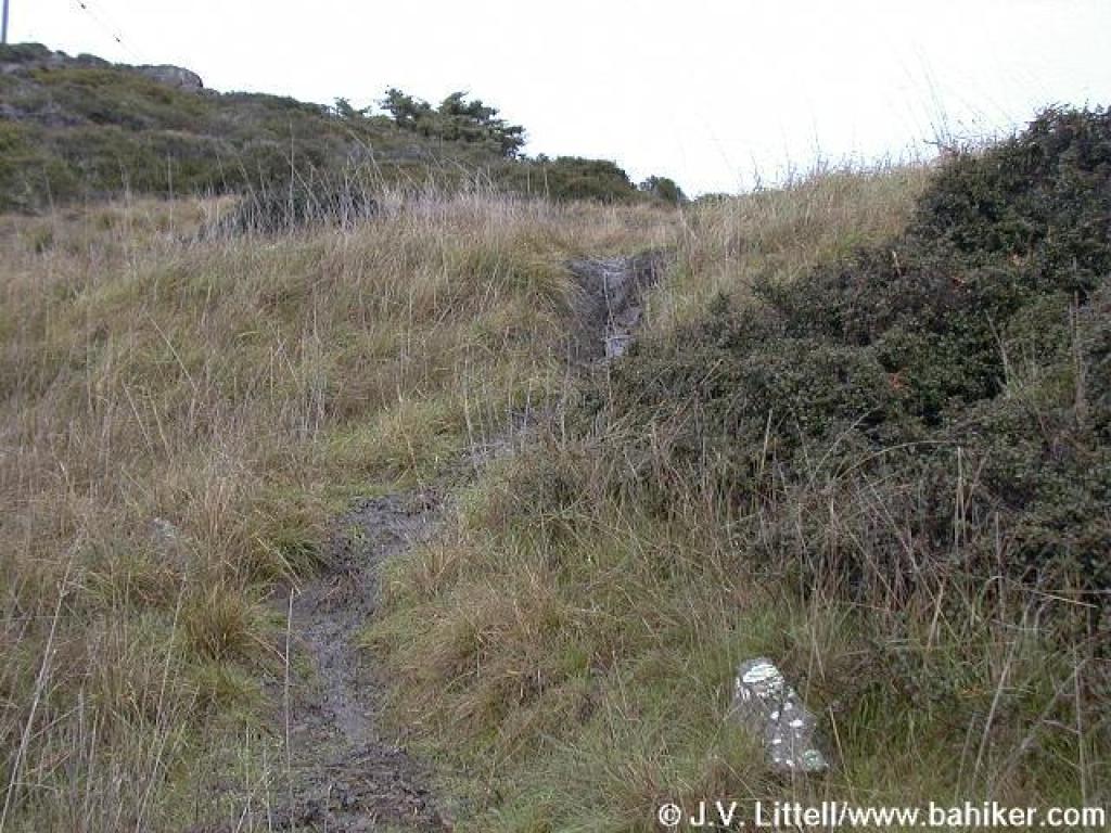
 Last stretch of trail |
 Path ends at an unmarked junction |
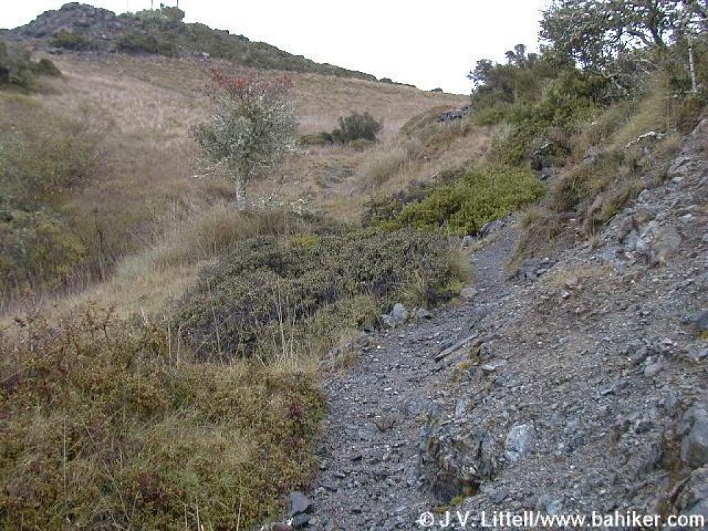
 Oat Hill Road |
||||
 Oat Hill Road |
 Views to Carson Falls |
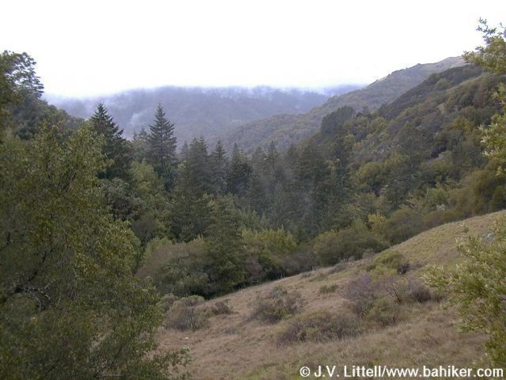
 On the return leg, nice views south from Pine Mountain Road |
 View to Alpine Lake |
||||
Go to Bay Area Hiker Carson Falls page Go to Bay Area Hiker Home page |
|||||||