| Photos
from a March 2001 hike at Black Diamond Regional Preserve (click on any image for a larger view) |
|||||||
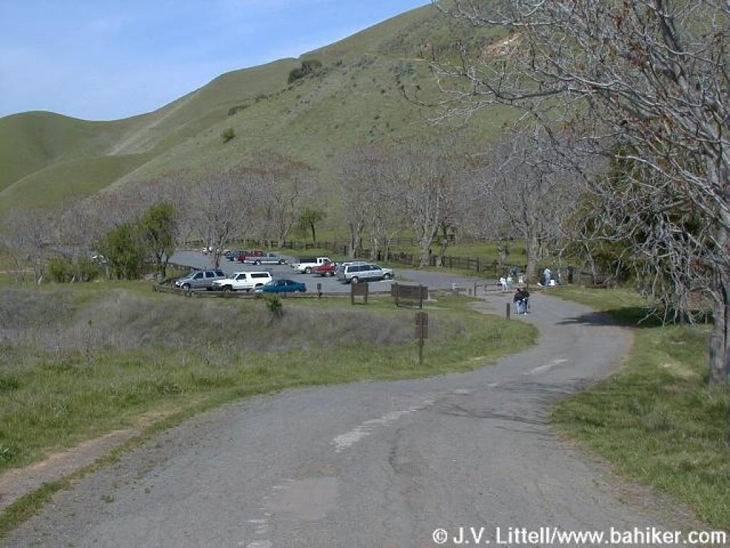
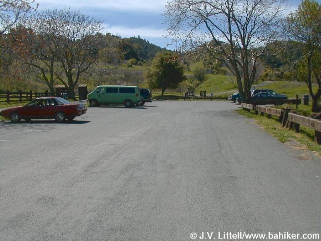 Parking lot |
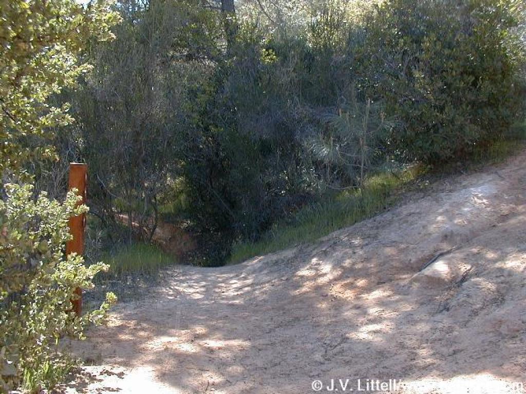
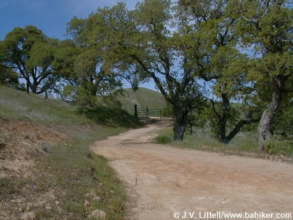
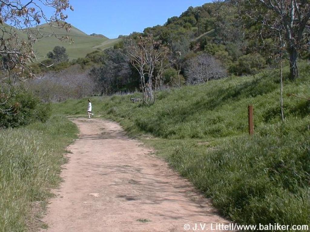
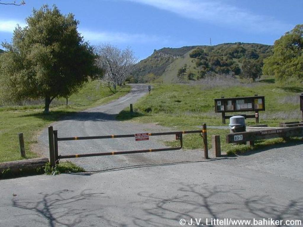 Trailhead |
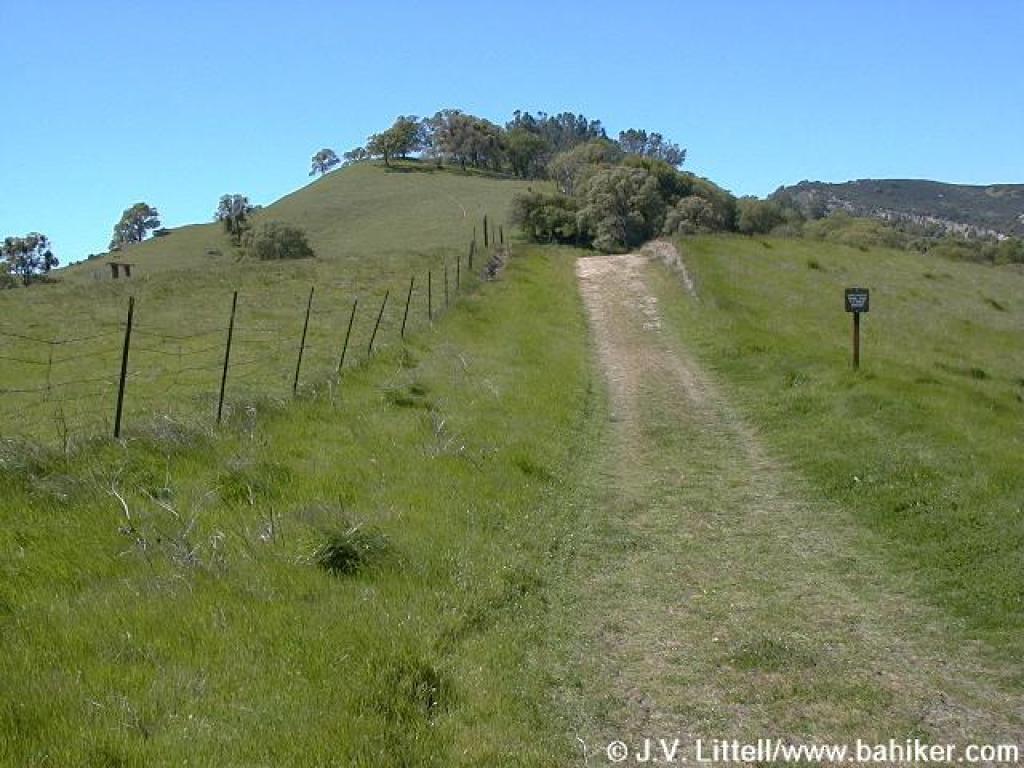
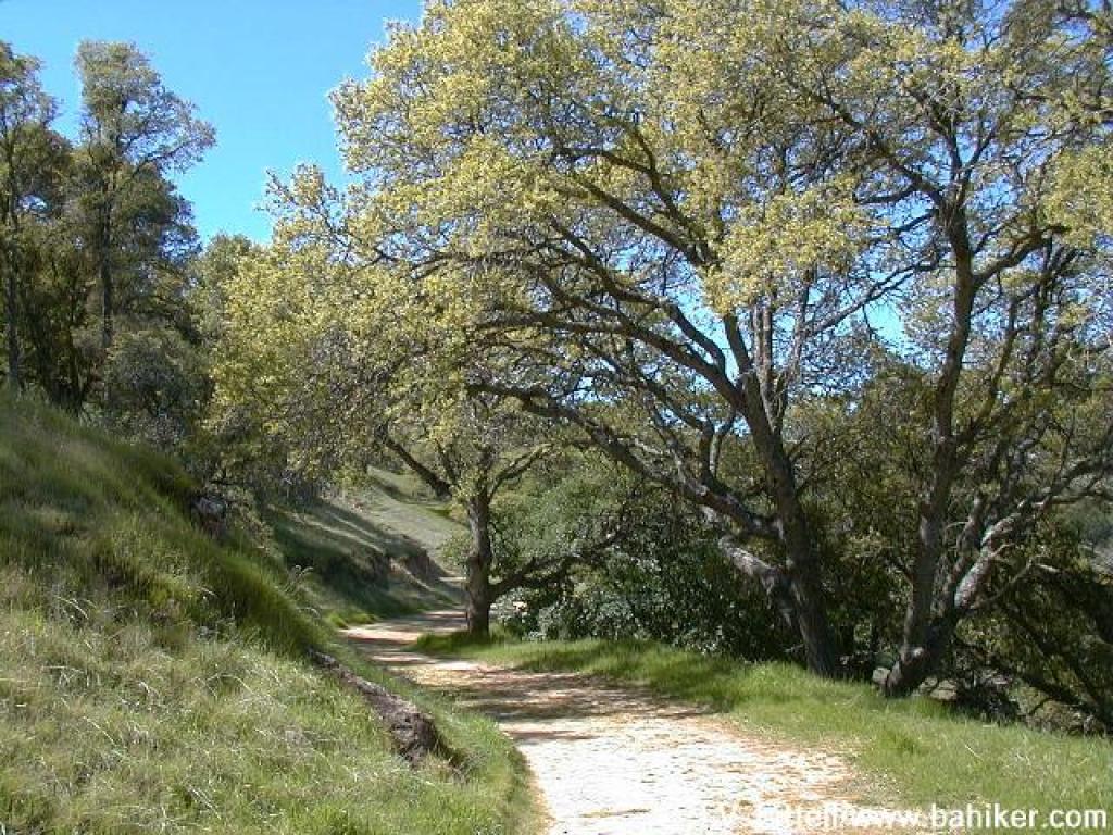
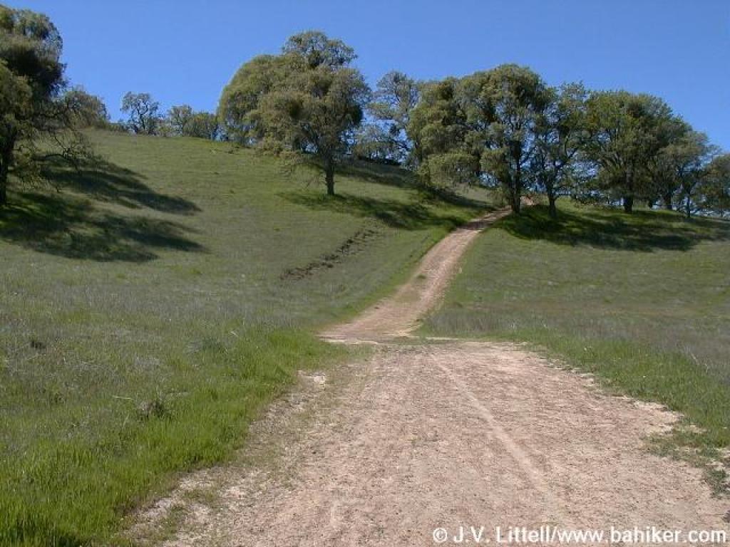
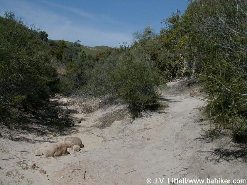
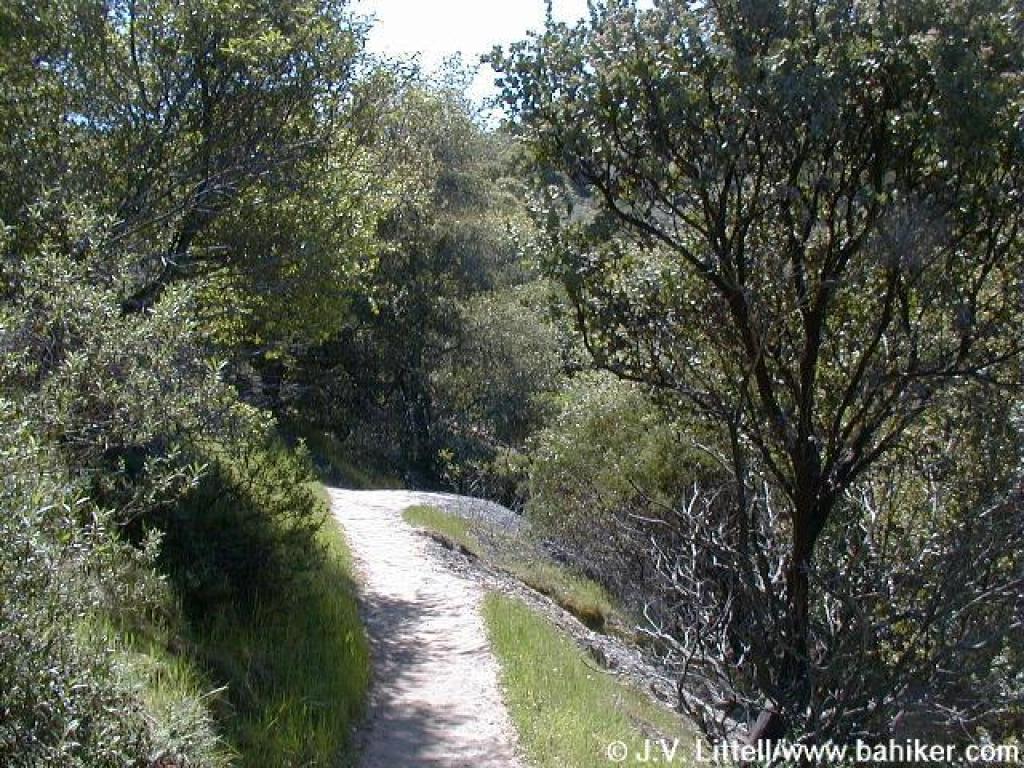
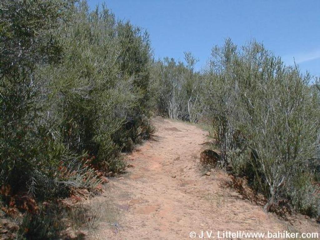
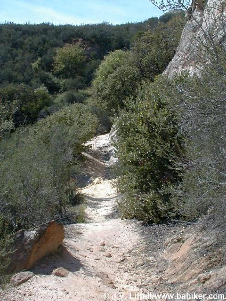
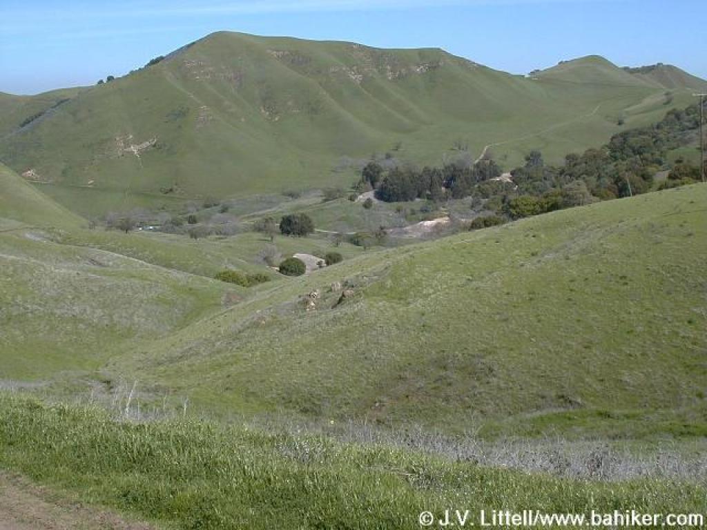
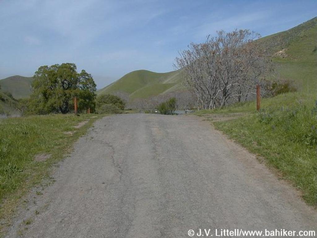
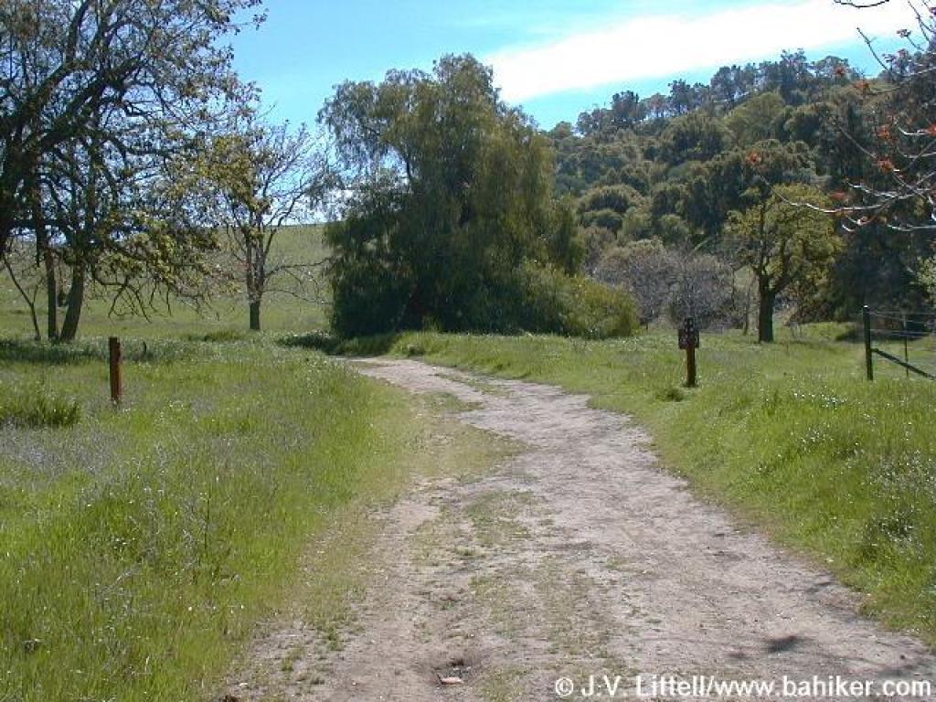 Stewartville Trail |
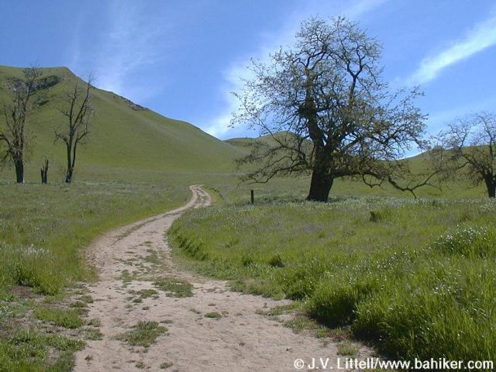 Beginning to climb |
||||
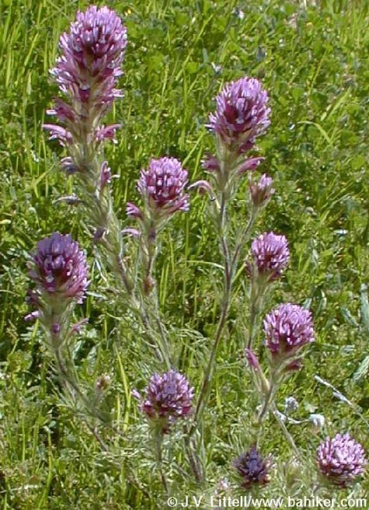
 Owl's clover |
 Fiddlenecks |
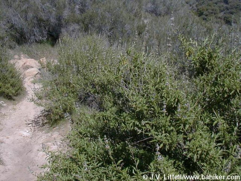
 Climbing through grassland |
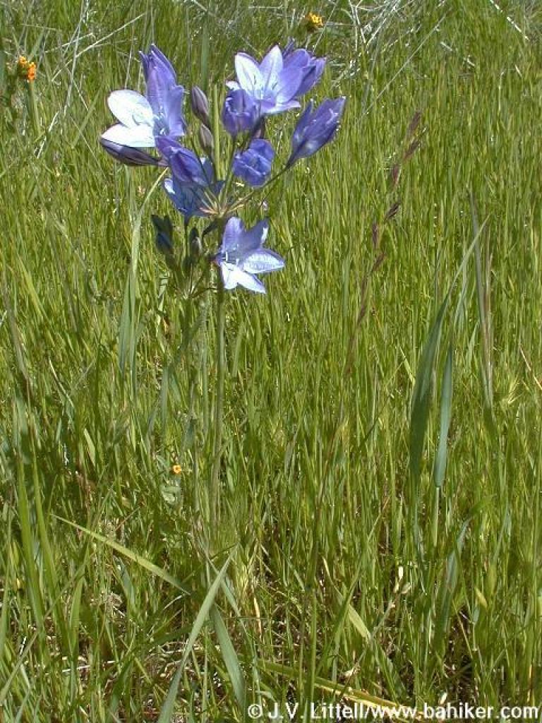 Ithuriel's spear |
||||
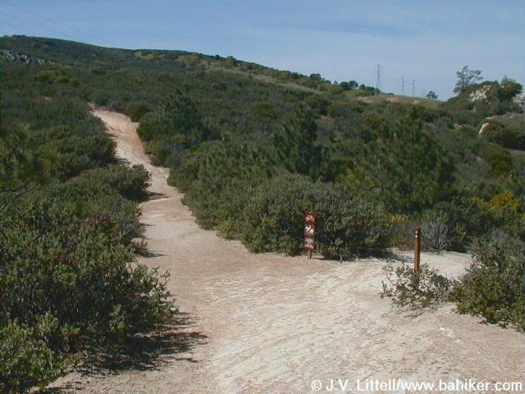
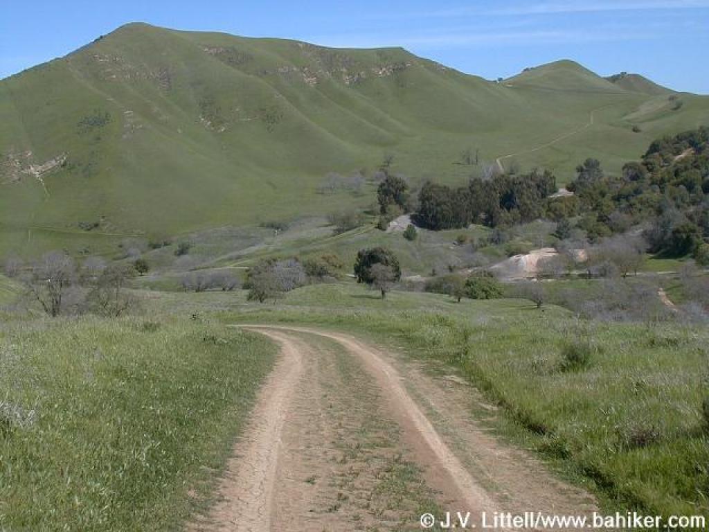
 Approaching junction |
 Ridge Trail |
 Fiddlenecks |
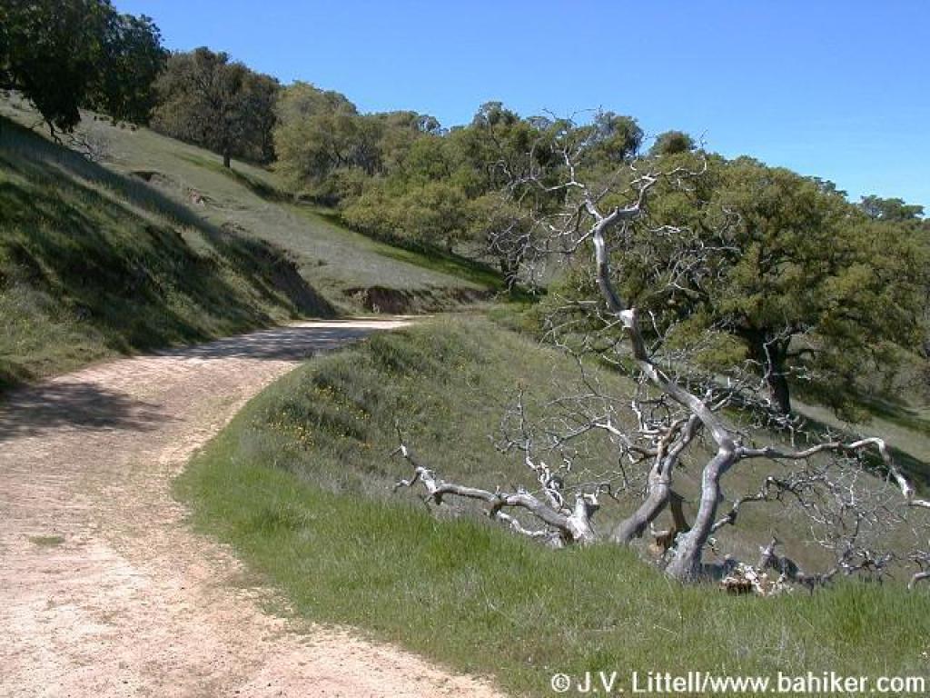
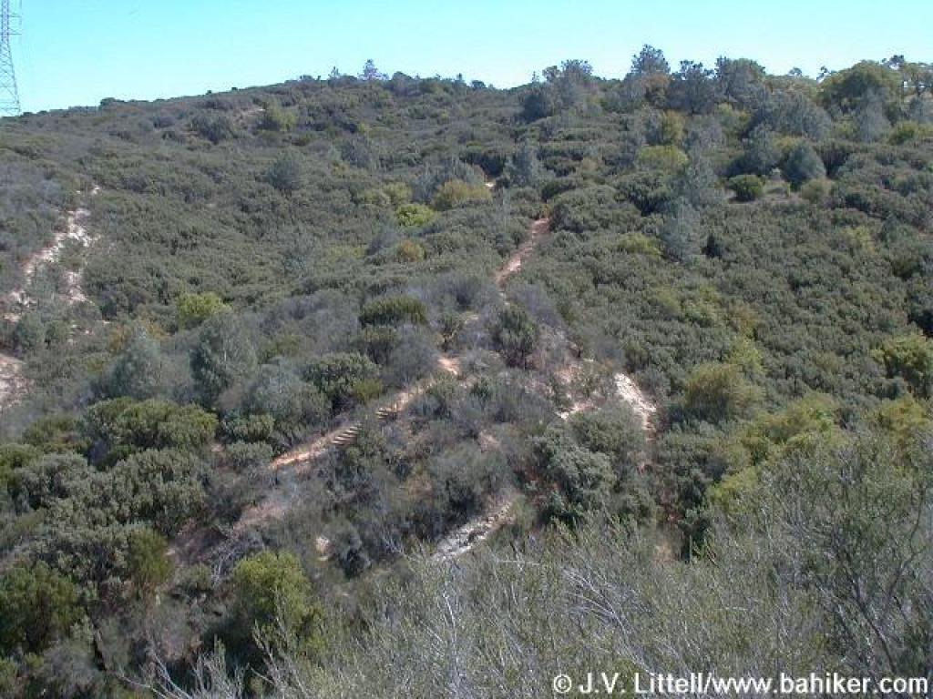
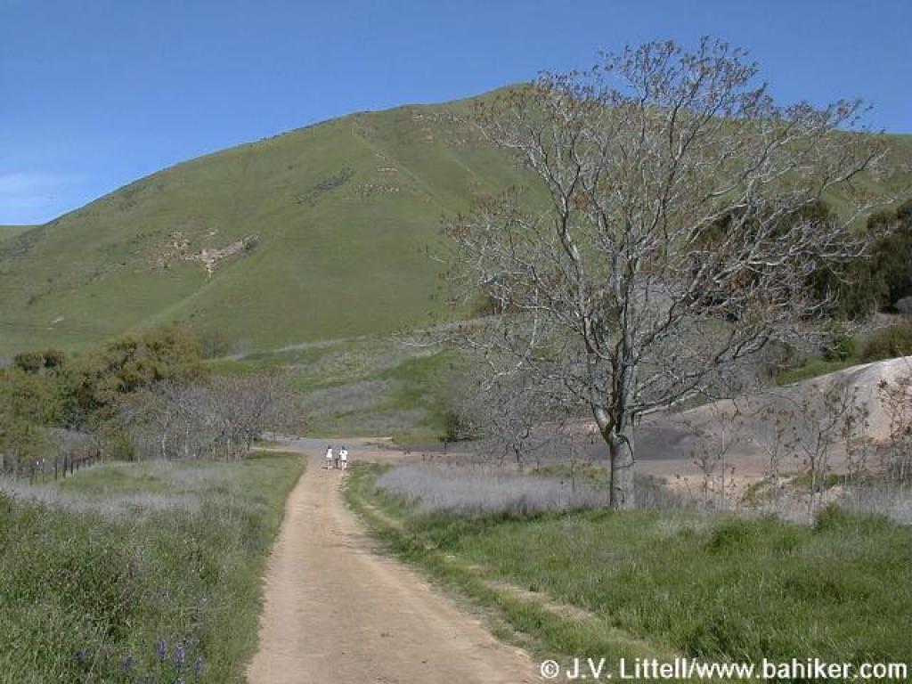
 Ridge Trail |
||||
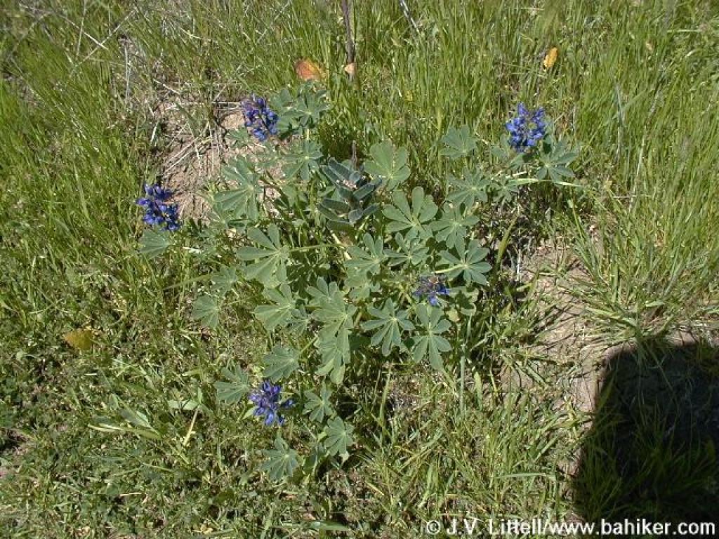 Lupine |
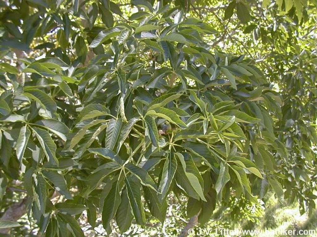
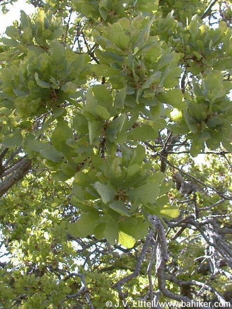
 Buckeye |
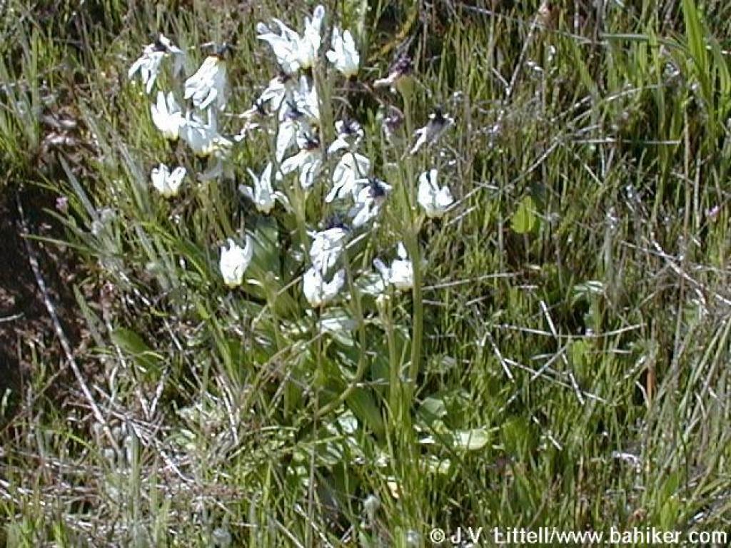 Padre's shooting stars, bleached in the sun and on their last legs |
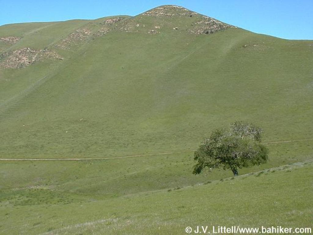
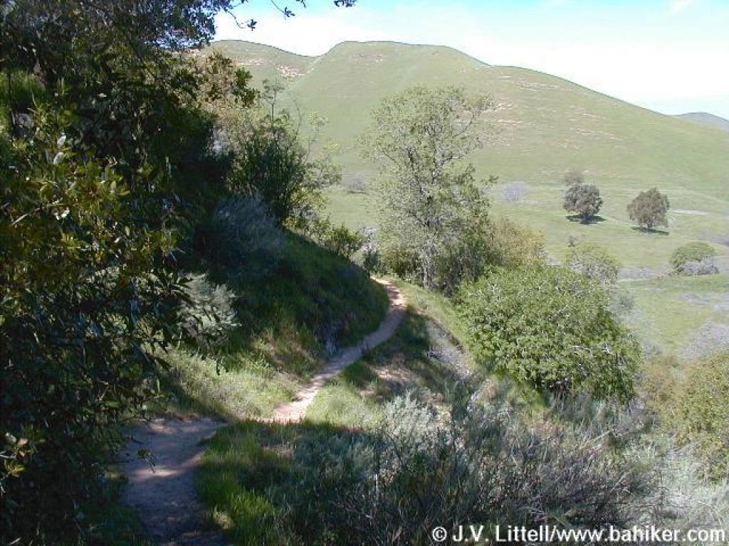
 Ridge Trail |
||||
 Buckeye |
 Ridge Trail |
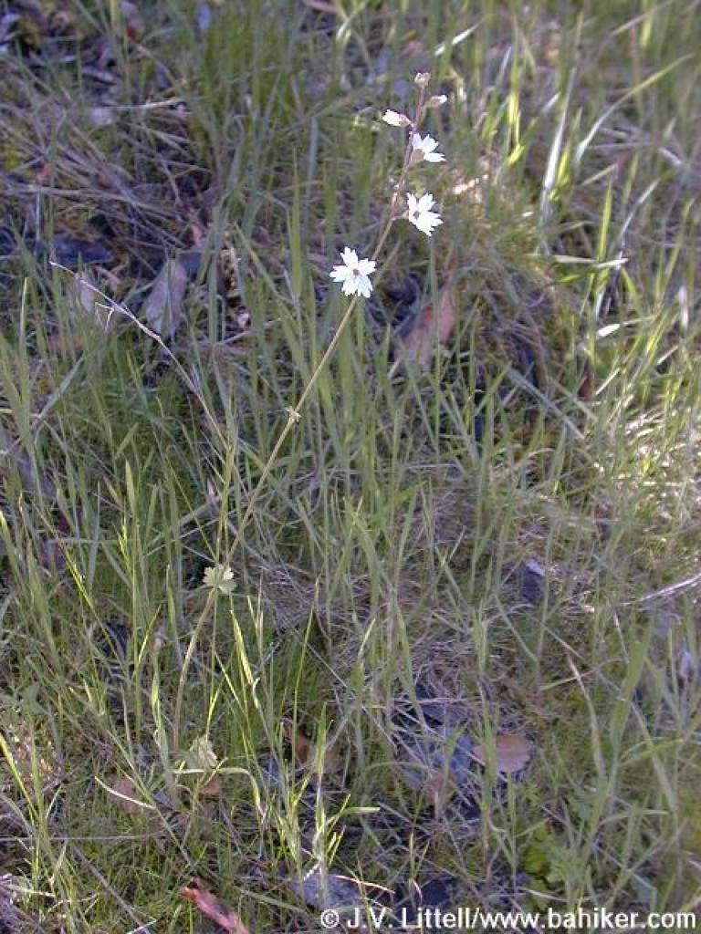
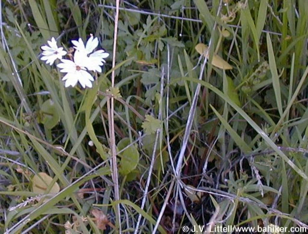 Woodland star |
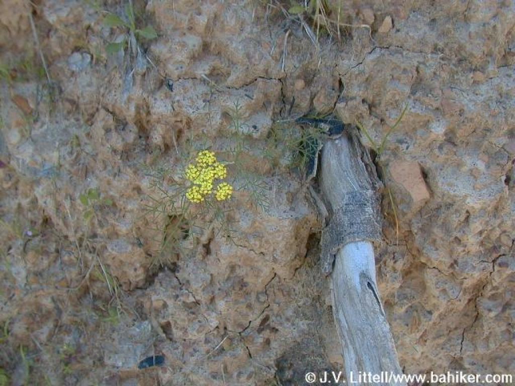 Flower growing out of rocky soil |
||||
 Starting to climb |
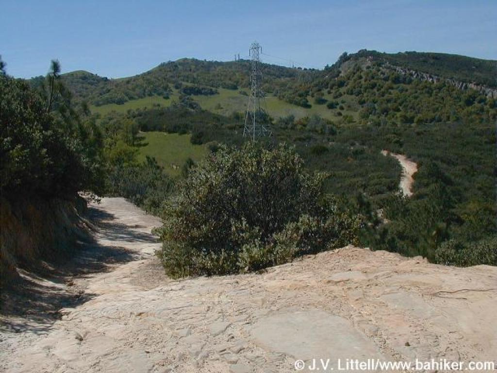
 View north |
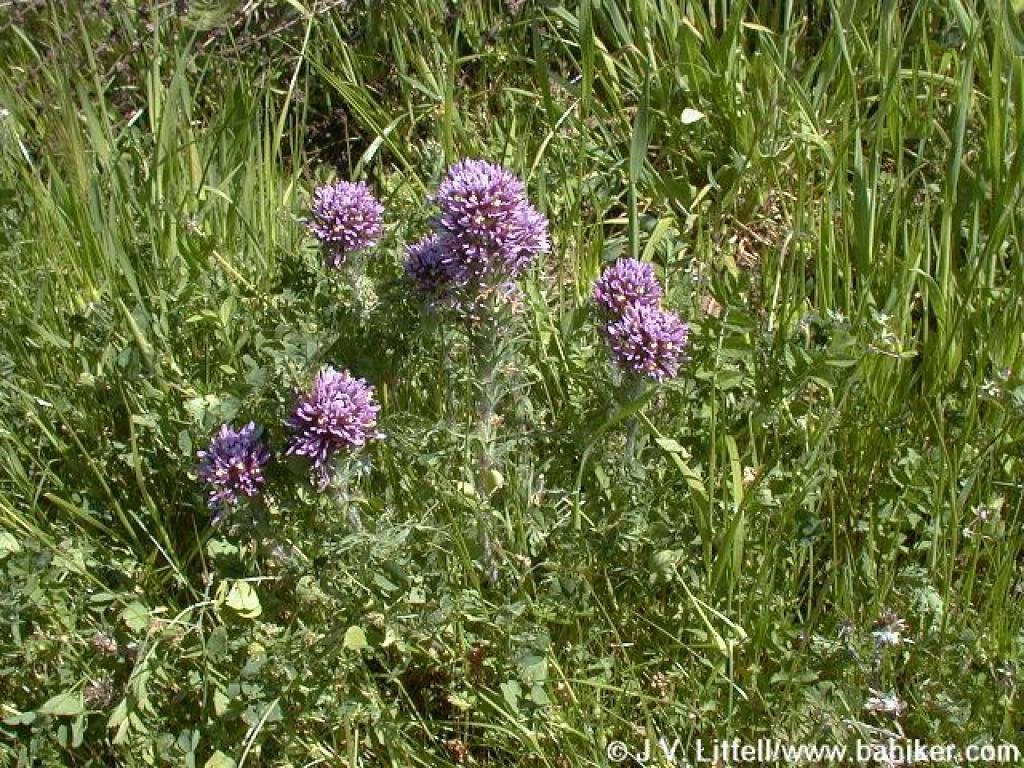
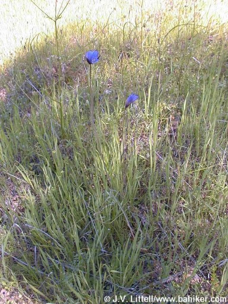 Bluedicks |
 Ridge Trail |
||||
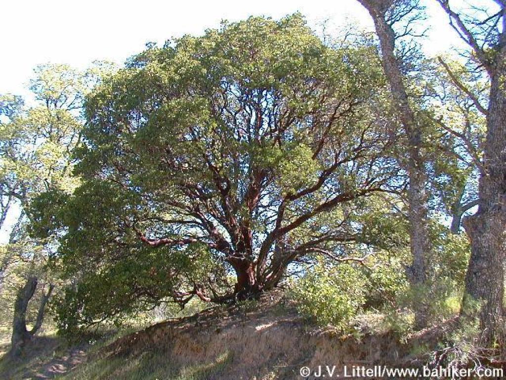 Manzanita |
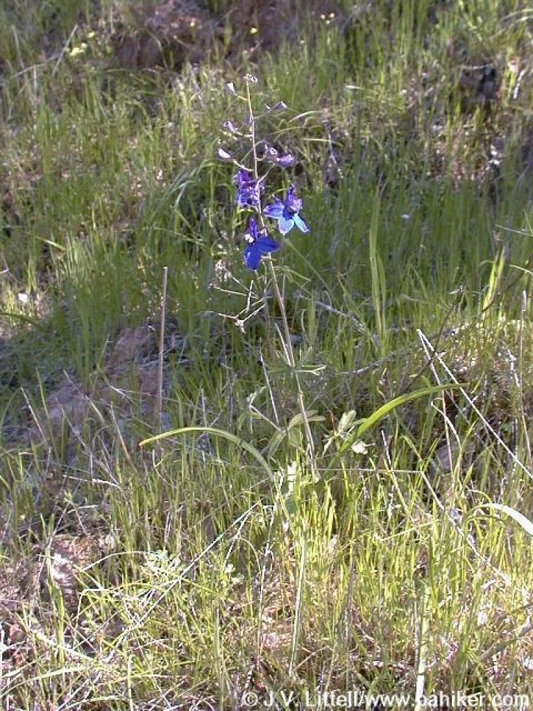 Royal larkspur |
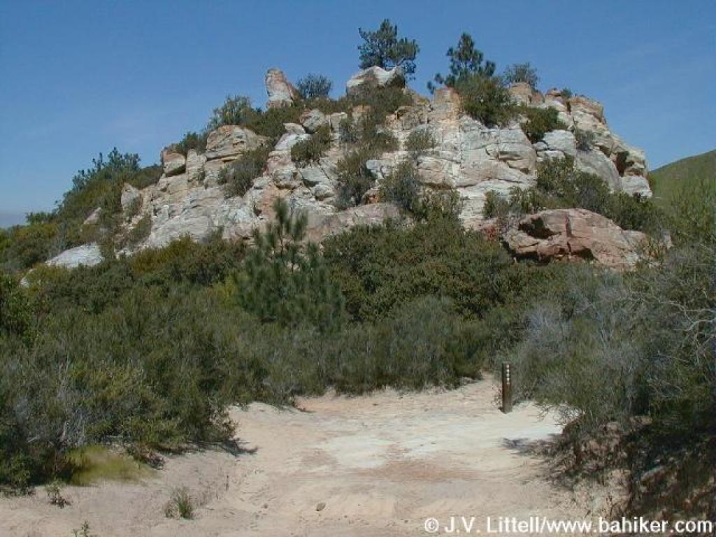
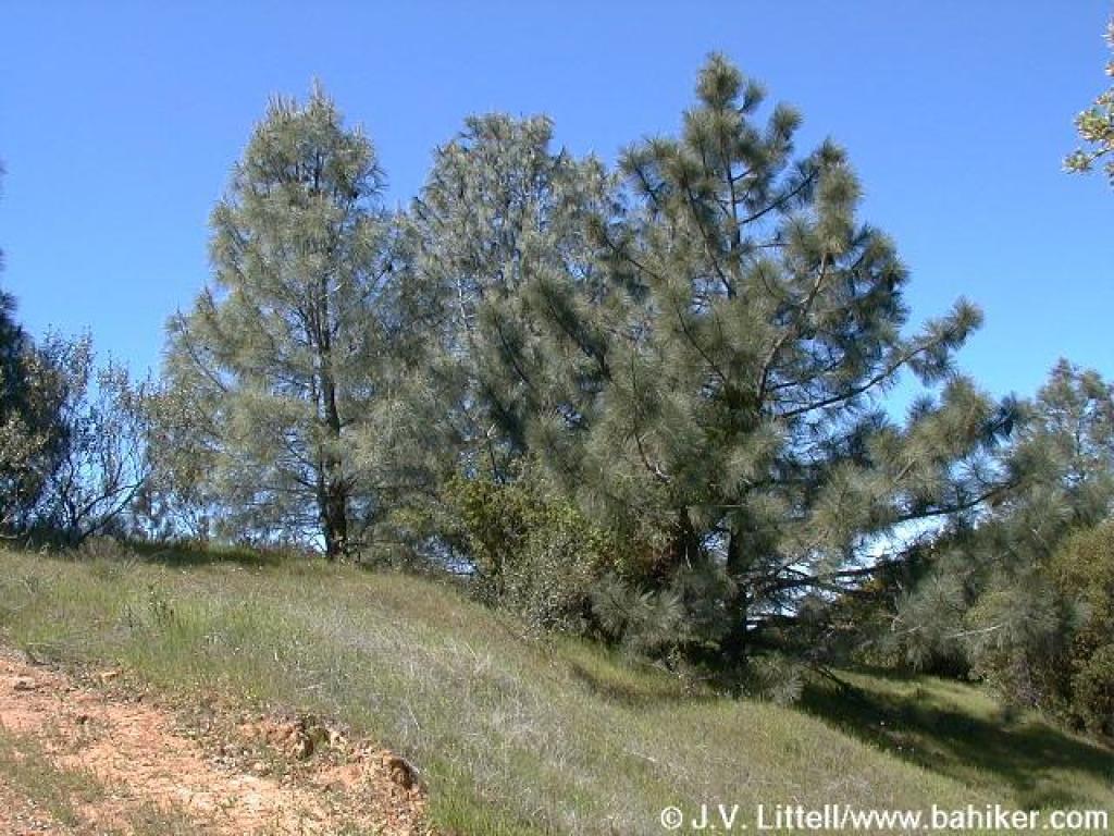 Coulter pines |
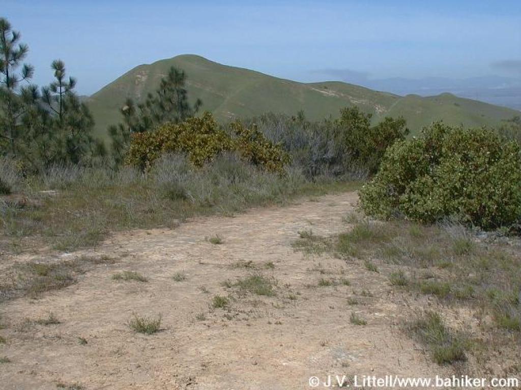 View north from hilltop |
||||
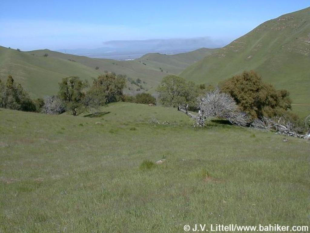
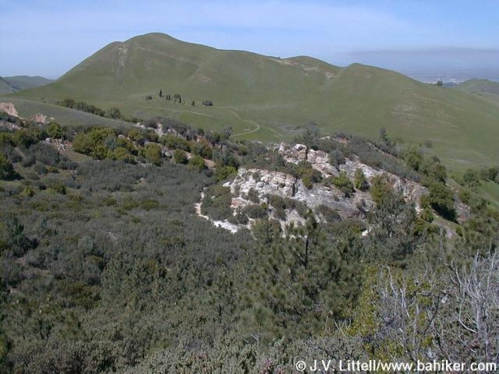
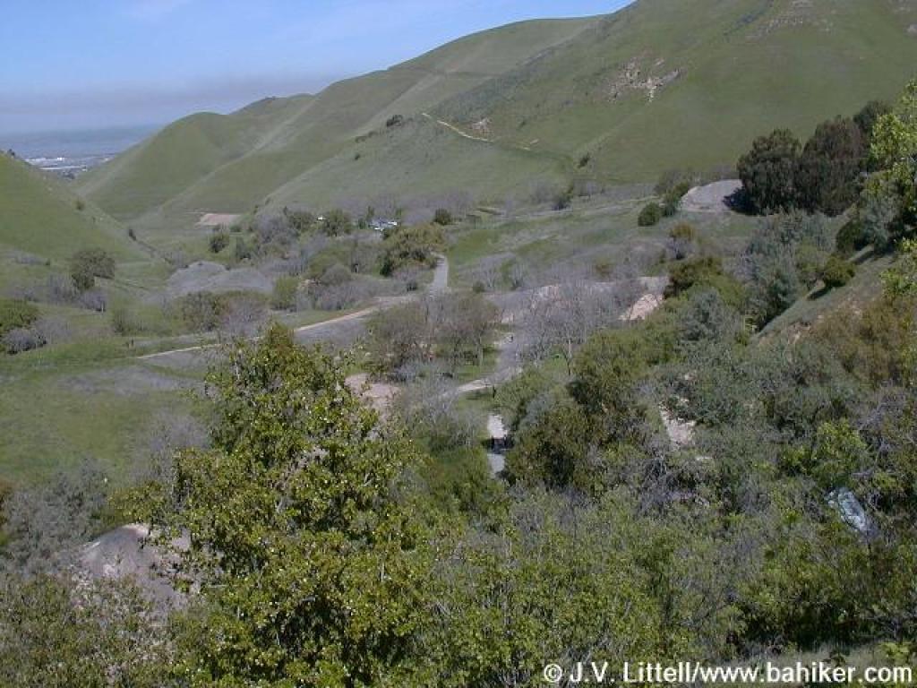
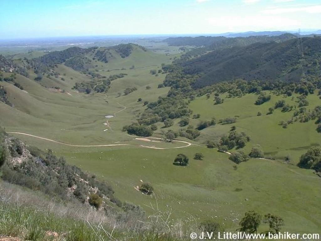 View down into valley |
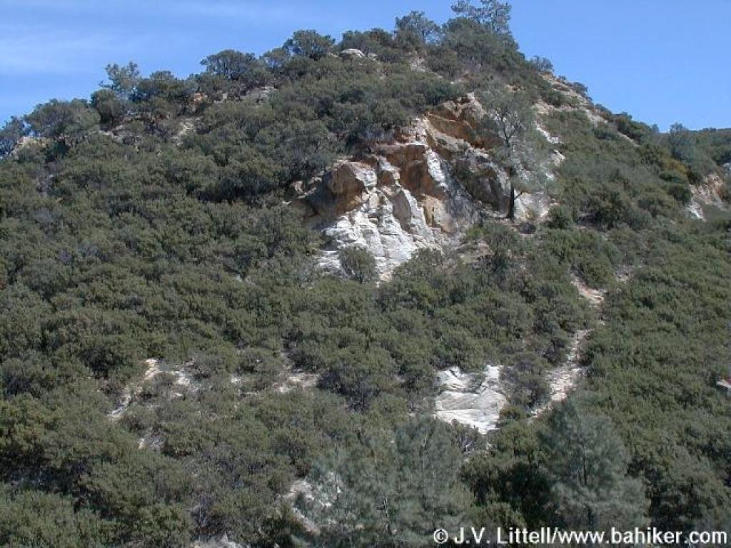
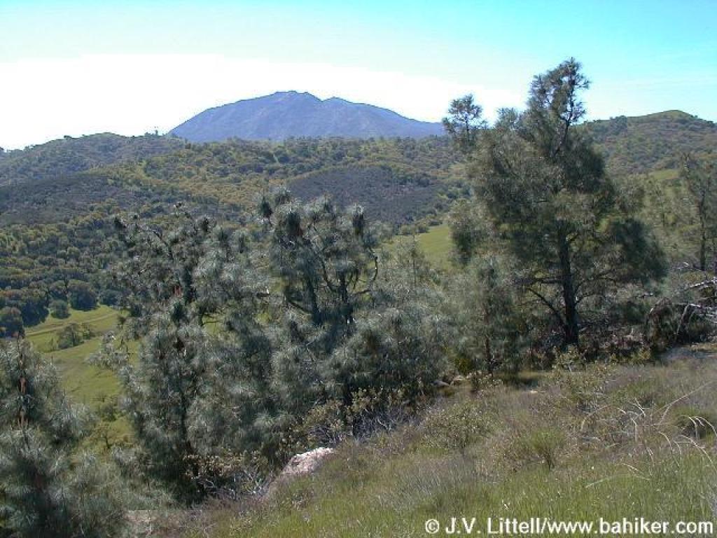 View to Diablo |
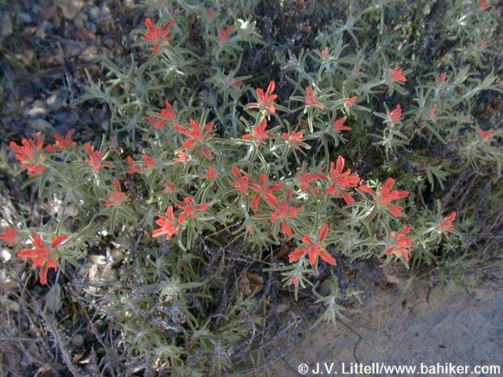
 Paintbrush |
 Yerba santa |
||||
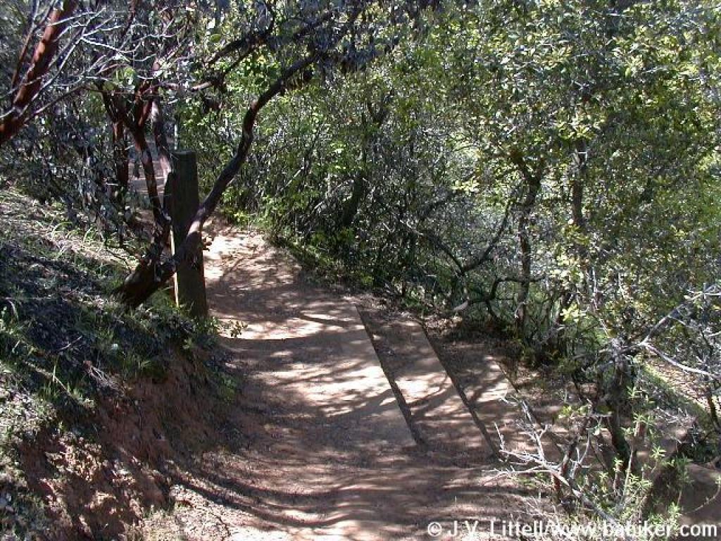
 Descending |
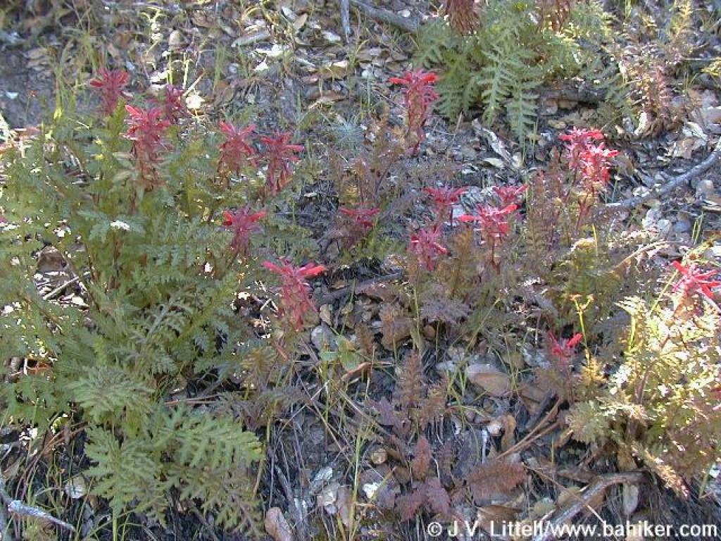 Indian warrior |
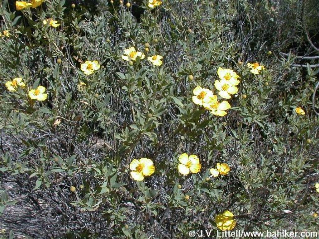 Bush poppy |
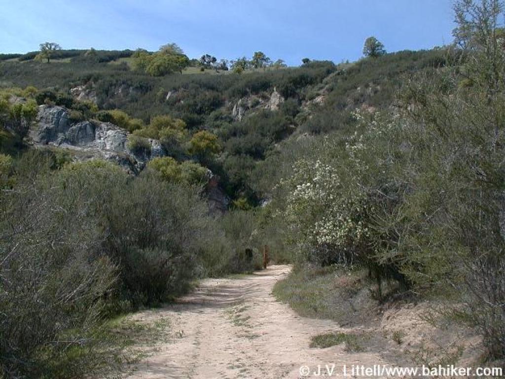
 Ridge Trail |
||||
 View north |
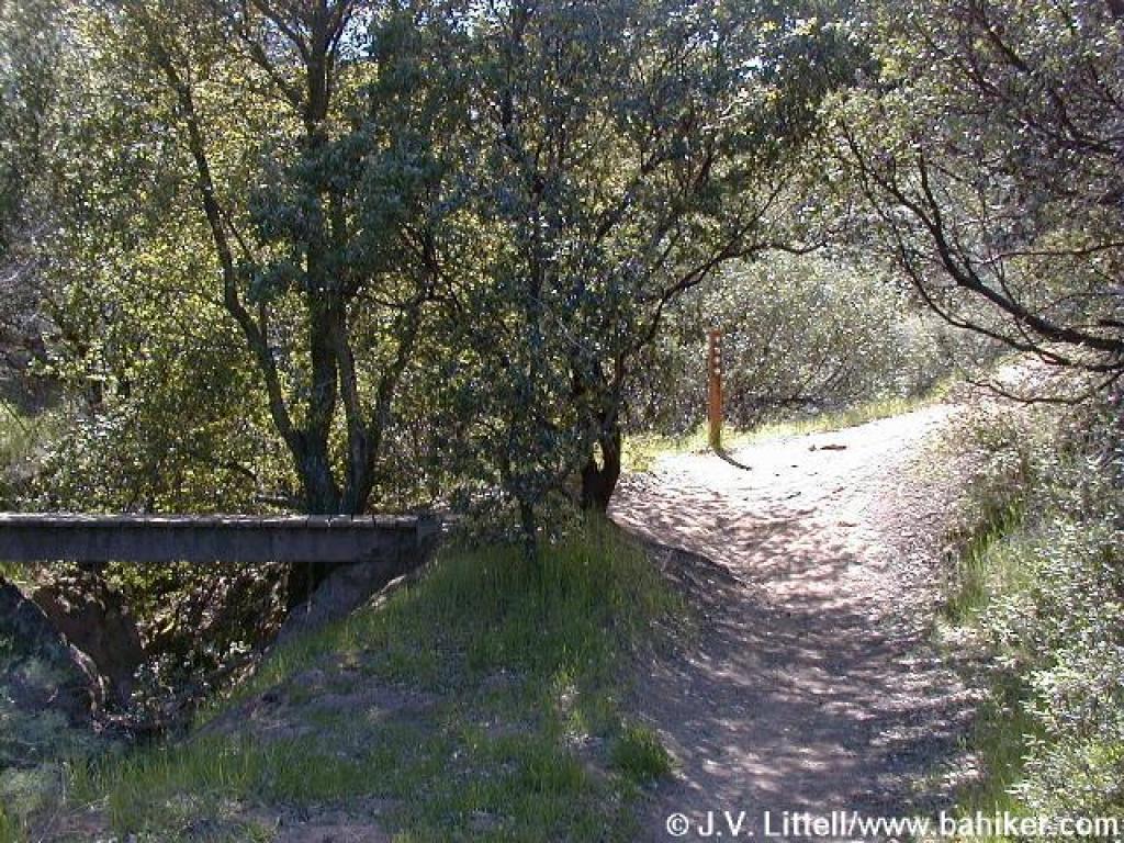
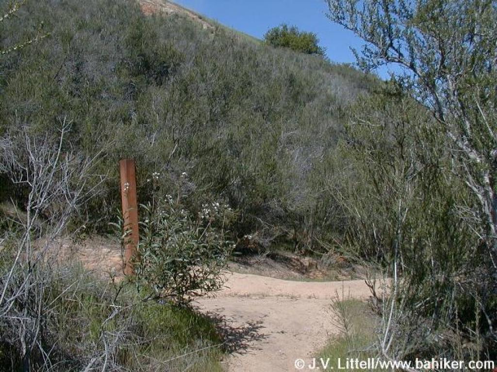
 Junction |
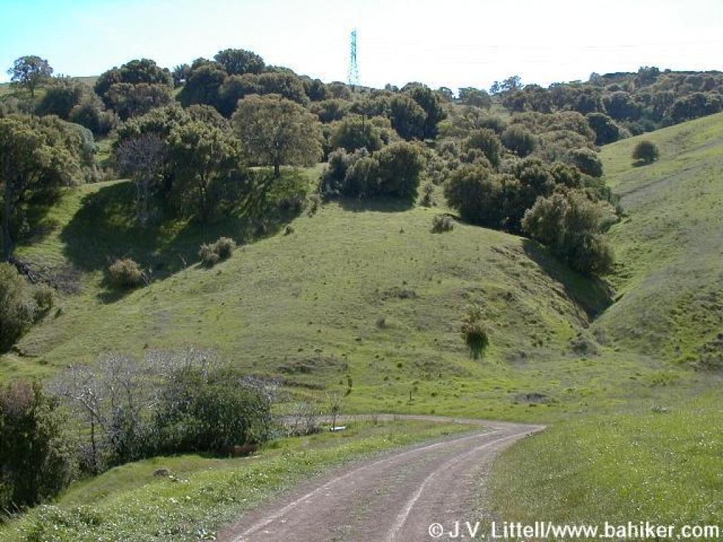
 Chaparral Loop Trail |
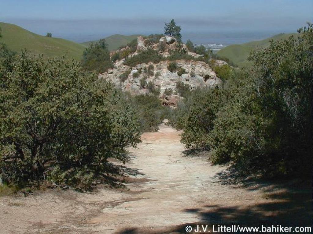 Descending toward rock formation |
||||
 Chamise |
 Junction |
 Lower Chaparral Trail |
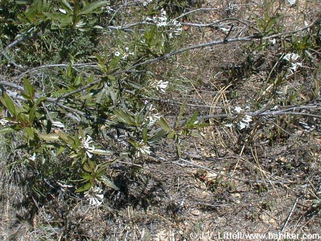
 Unknown plant |
||||
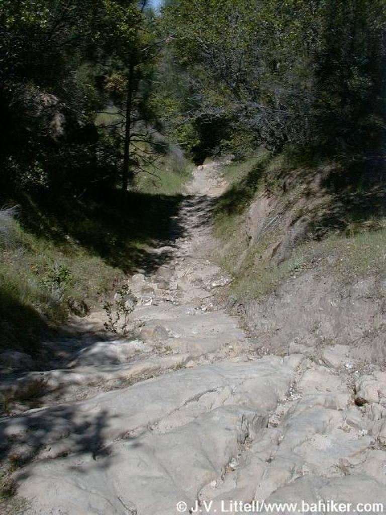 Rocky descent |
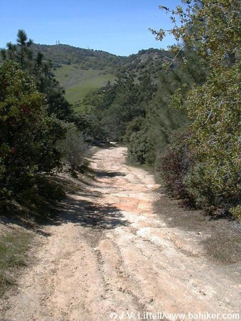
 Lower Chaparral Trail |
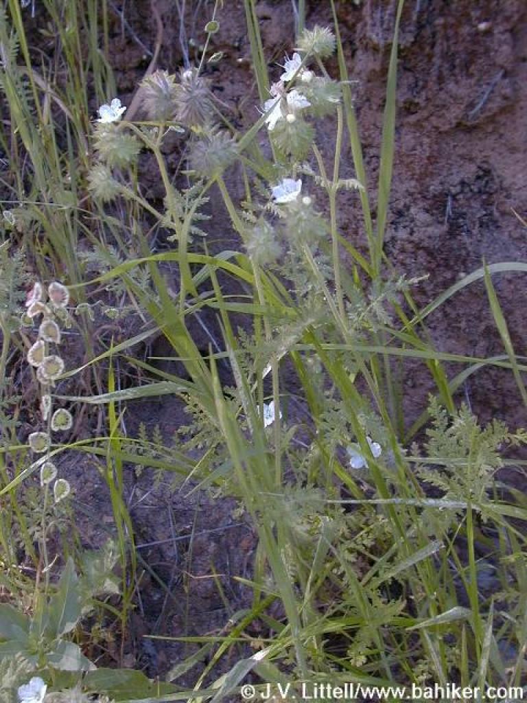 Branched phacelia |
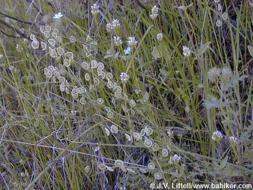 Hairy fringepod amid spring flowers |
||||
 View |
 Junction |
 Woodland star |
 Chaparral Loop Trail |
||||
 Junction |
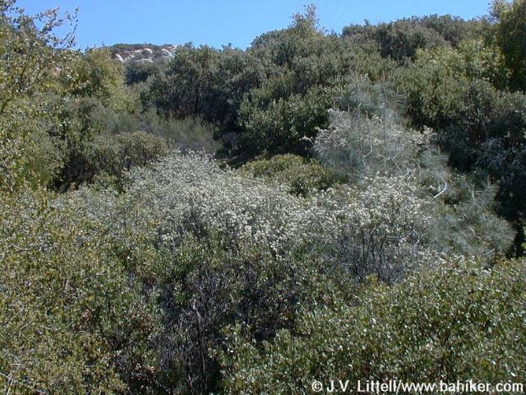 Blooming buckbrush |
 Junction |
 Manhattan Canyon Trail |
||||
 View across canyon |
 Junction |
 Rocky path |
 Black sage |
||||
 Shooting stars |
 View across canyon |
 Approaching junction |
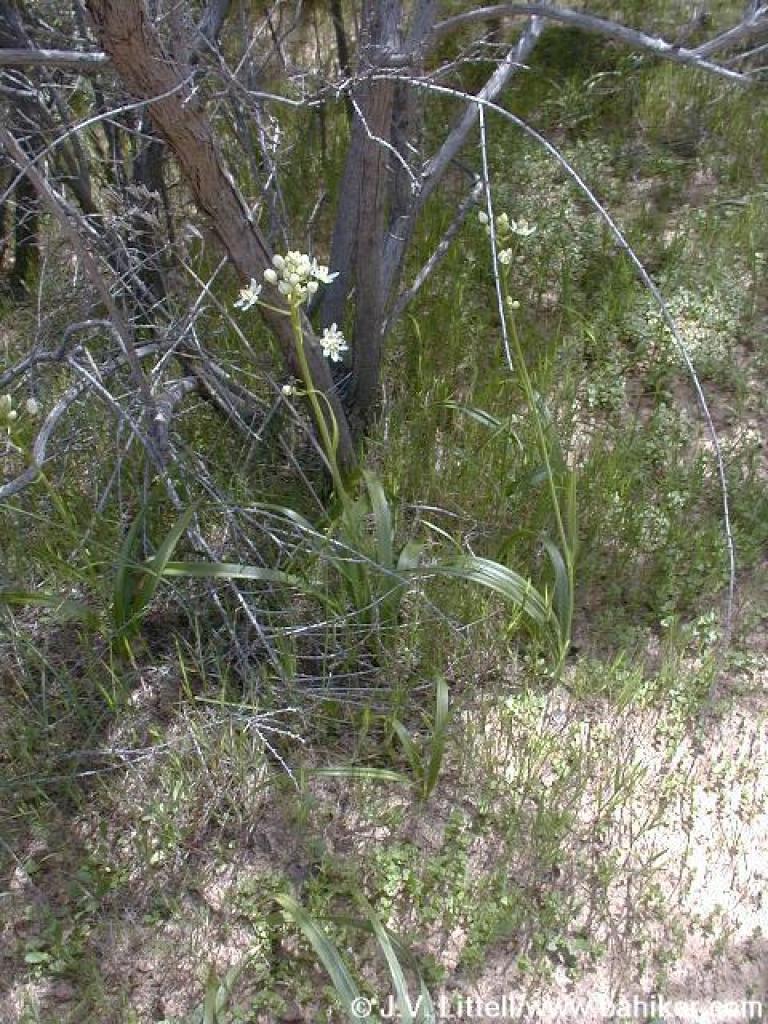 Fremont's camas |
||||
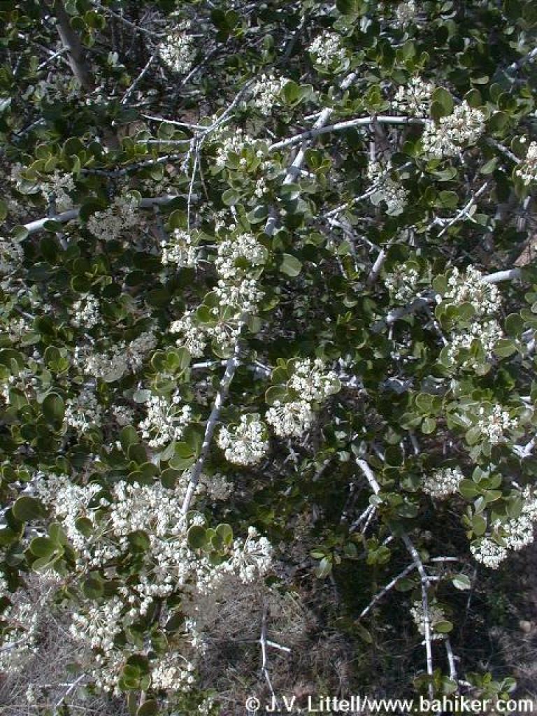 Buckbrush |
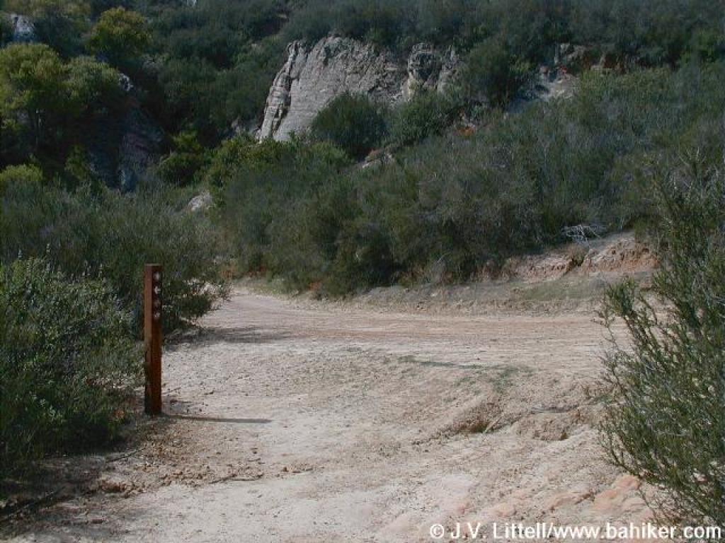 Junction |
 Black Diamond Trail |
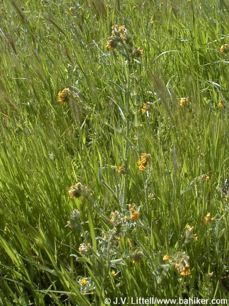
 Sagebrush |
||||
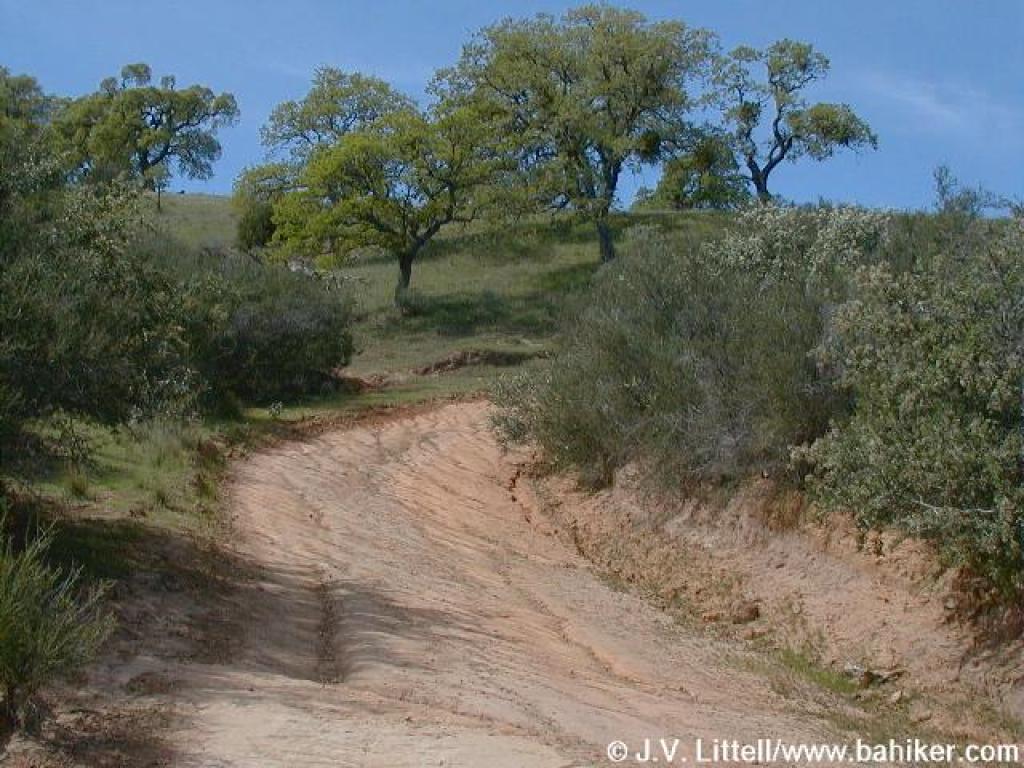 Climbing out of chaparral |
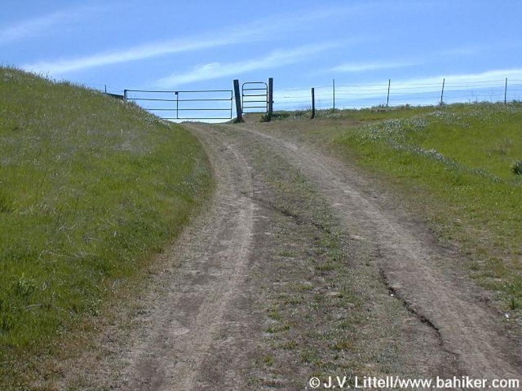
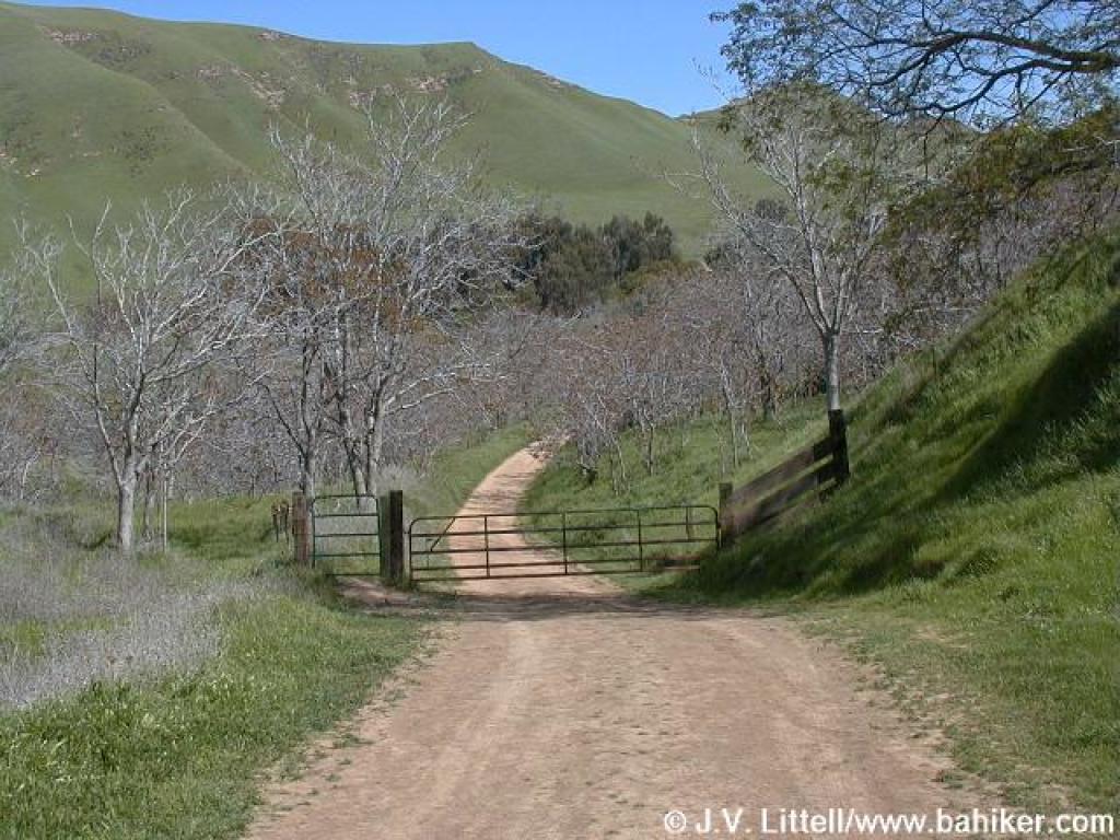
 Cattle gate |
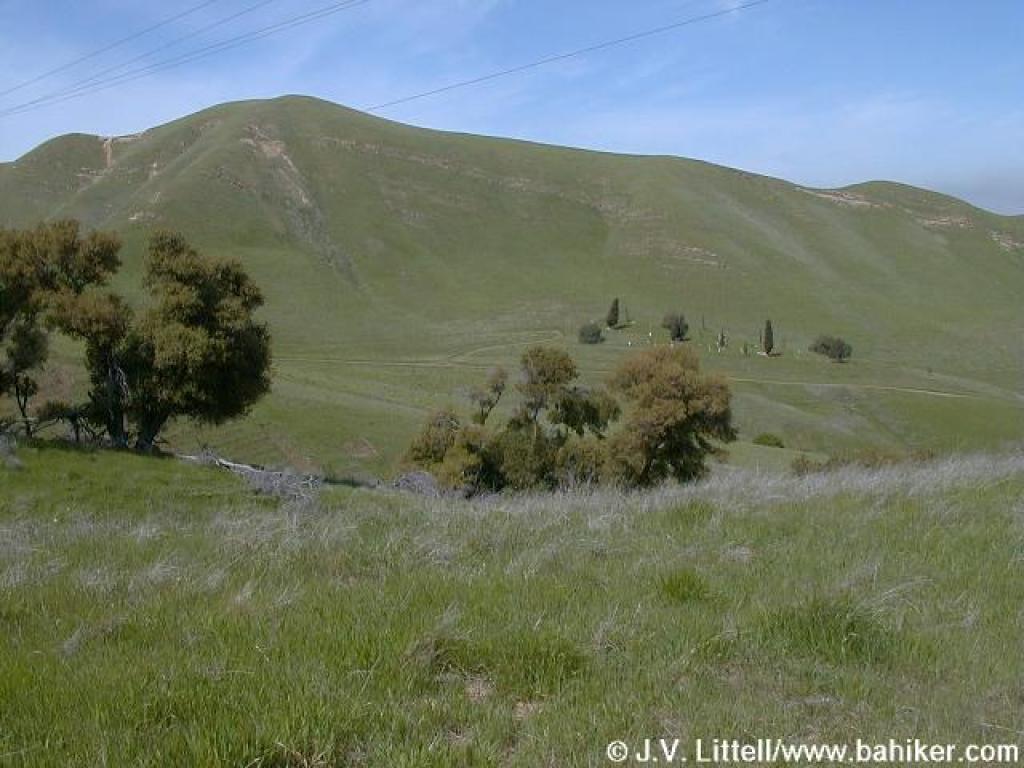 View across to Rose Hill Cemetery |
 Bluedicks in grassland |
||||
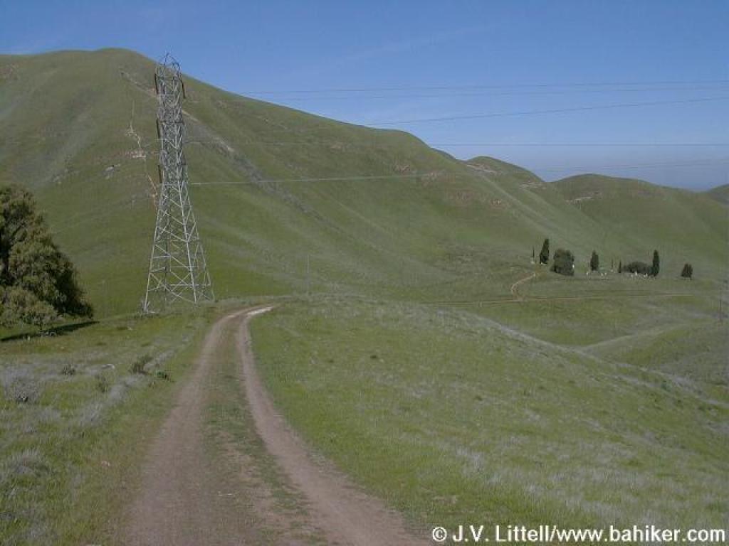
 Black Diamond Trail |
 Shooting stars |
 Descending |
 Redmaids |
||||
 Junction |
 View |
 Nortonville Trail |
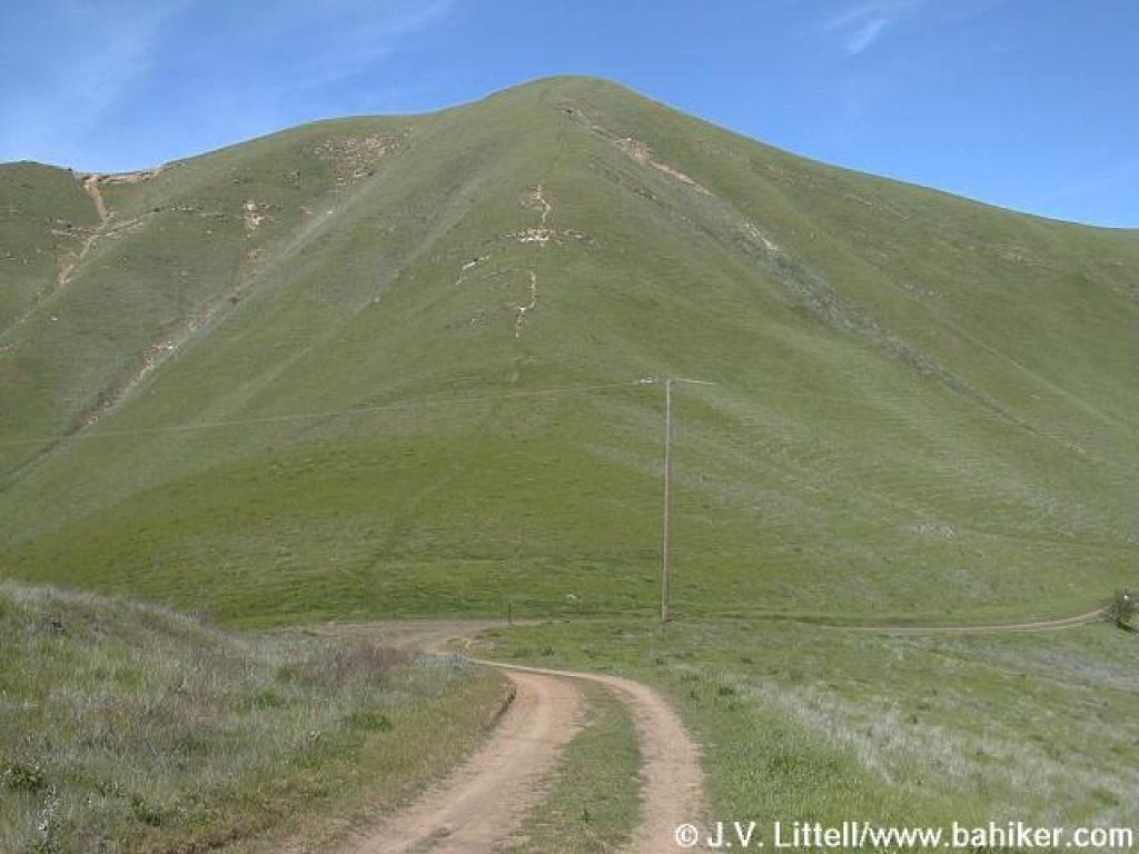
 Descent |
||||
 Approaching junction |
 Cattle gate |
 Owl's clover |
 Junction |
||||
 Nortonville Trail |
 Junction |
 New blue oak leaves |
 Approaching junction |
||||
 Returning to trailhead |
Go to Bay Area Hiker Black Diamond Mines page Go to Bay Area Hiker Home page |
||||||