| Photos
from an April 2000 hike at Anthony Chabot Regional Park (click on any image for a larger view) |
|||||||||
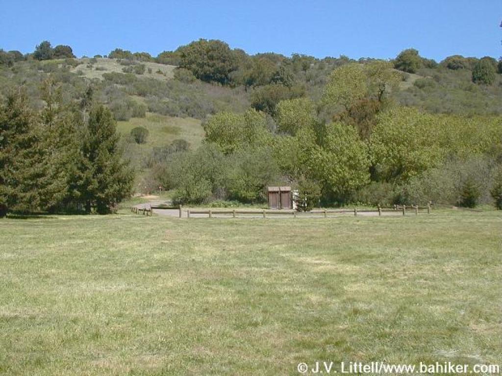
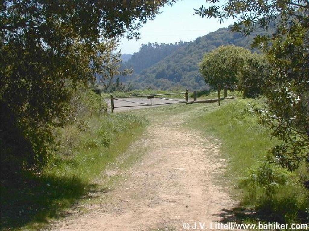
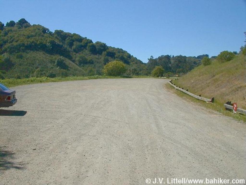 Trailhead |
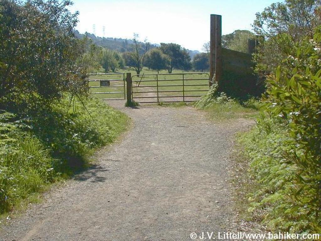
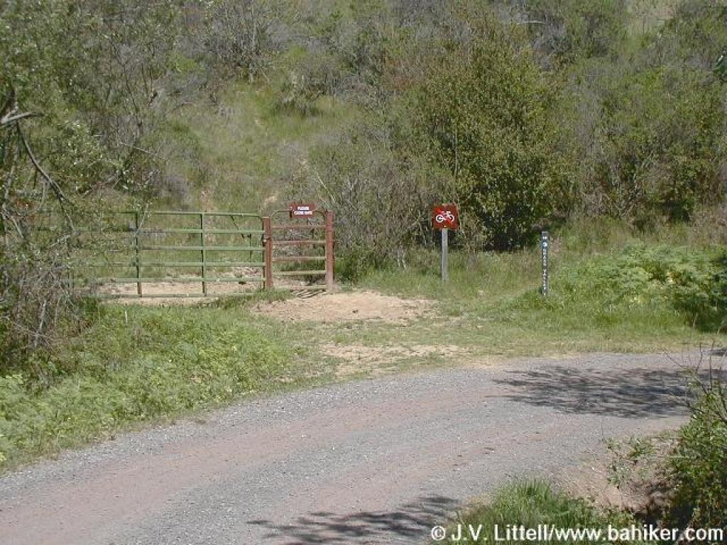
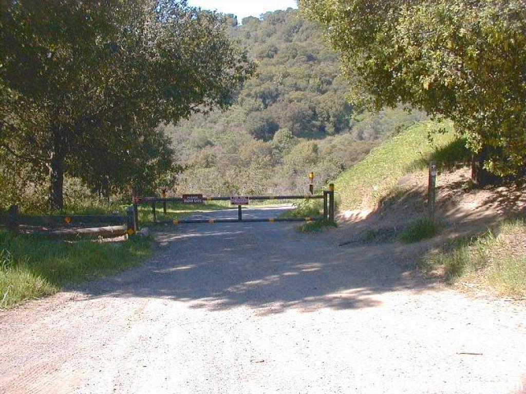 Gate |
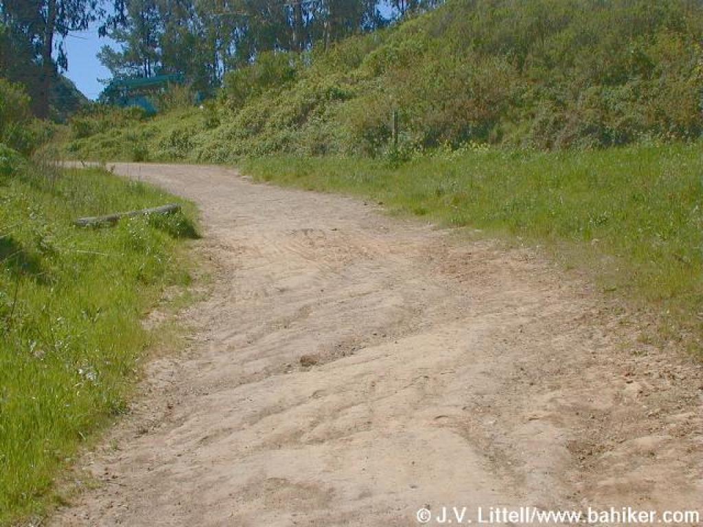
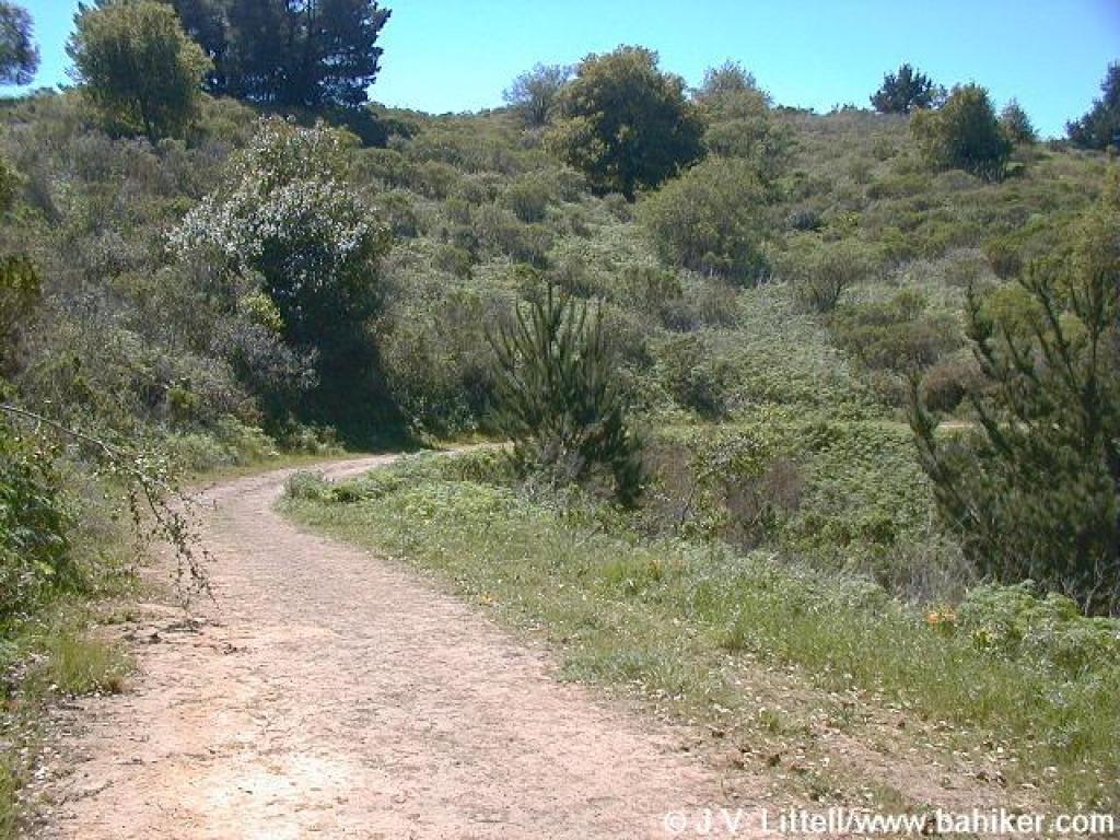
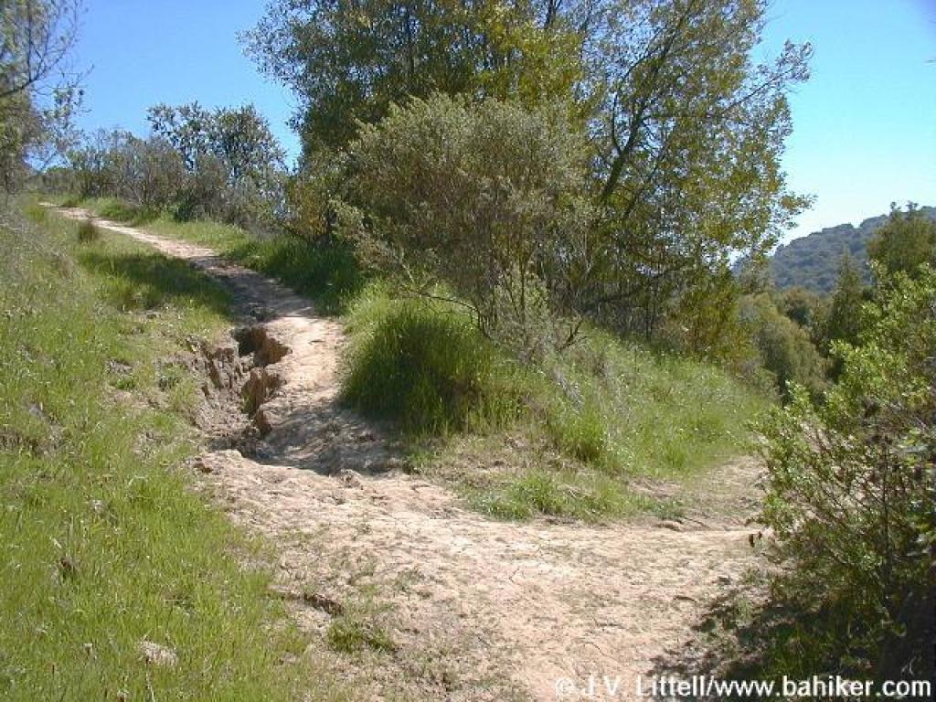
 Downhill |
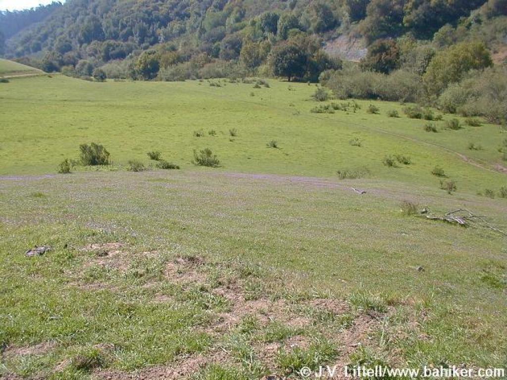
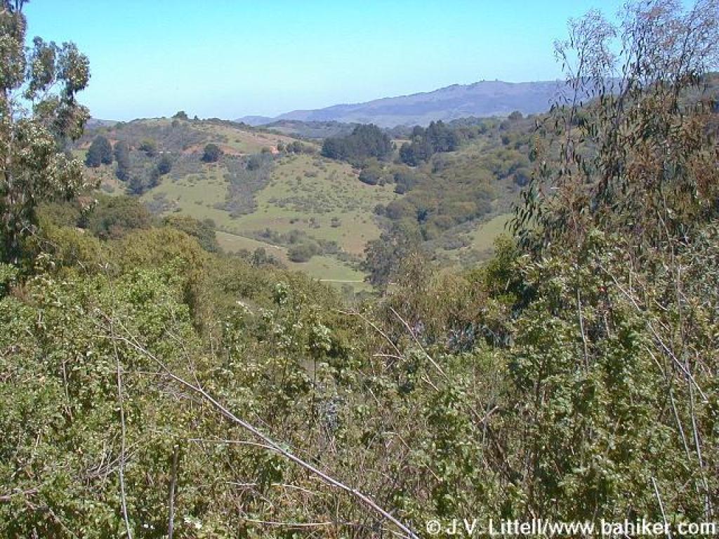
 Looking south |
||||||
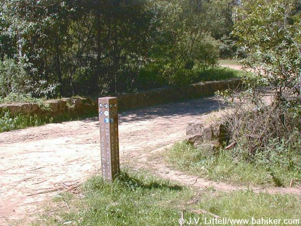
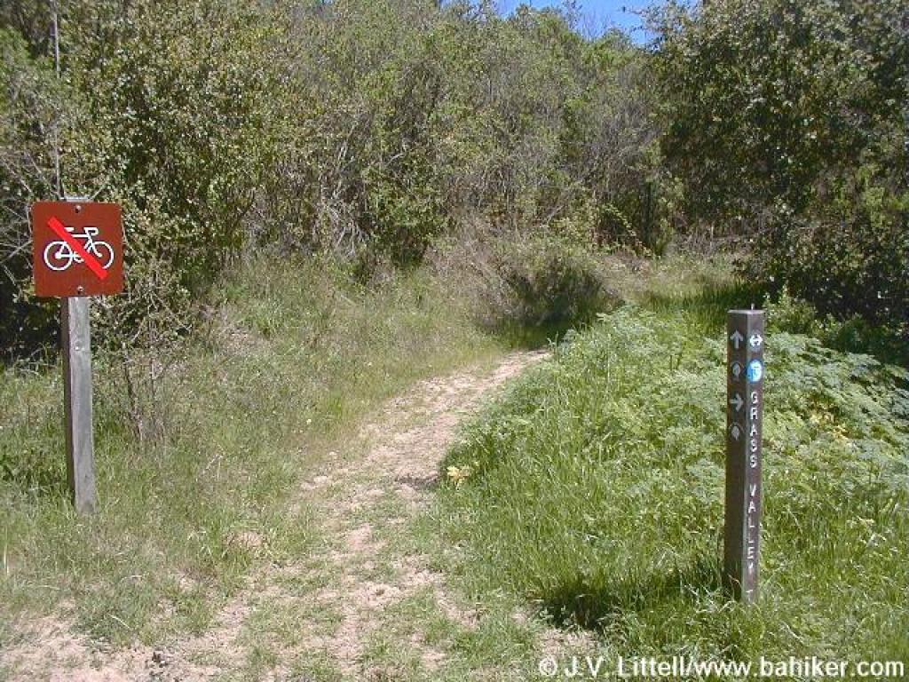
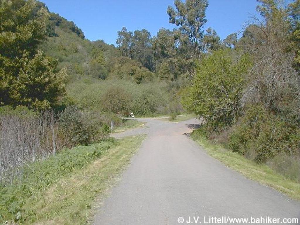 Junction |
 Gate |
 Suncups |
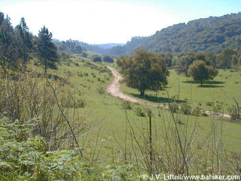
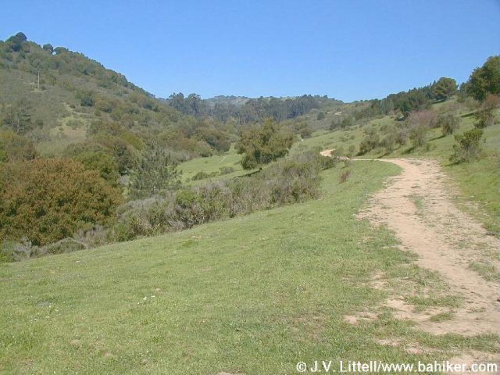
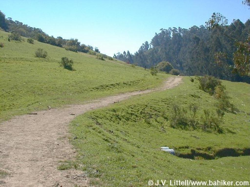
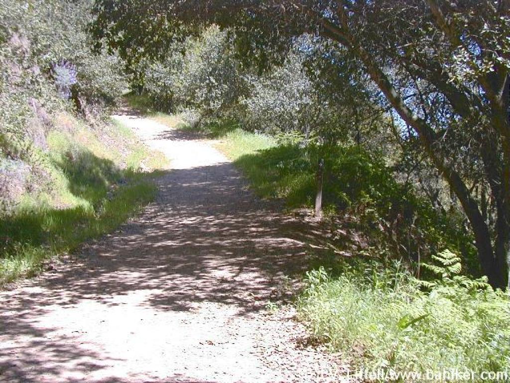
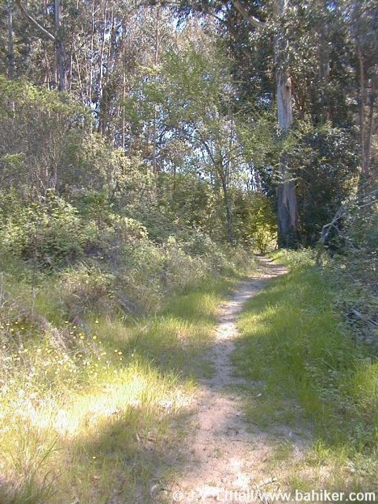
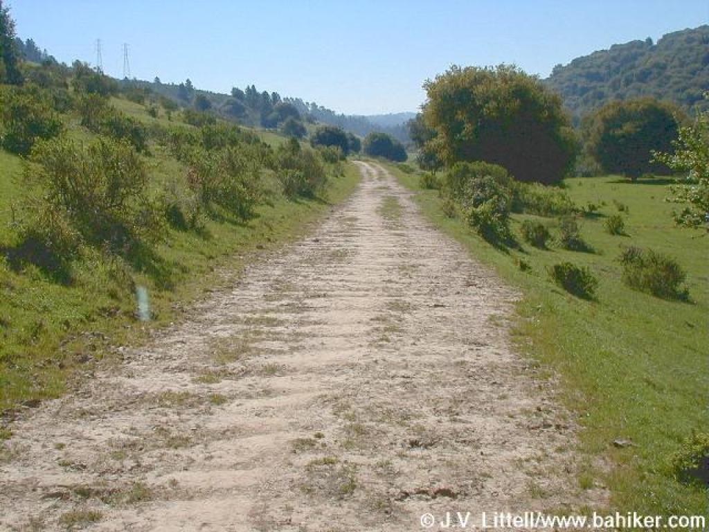 Grass Valley Trail |
||||||
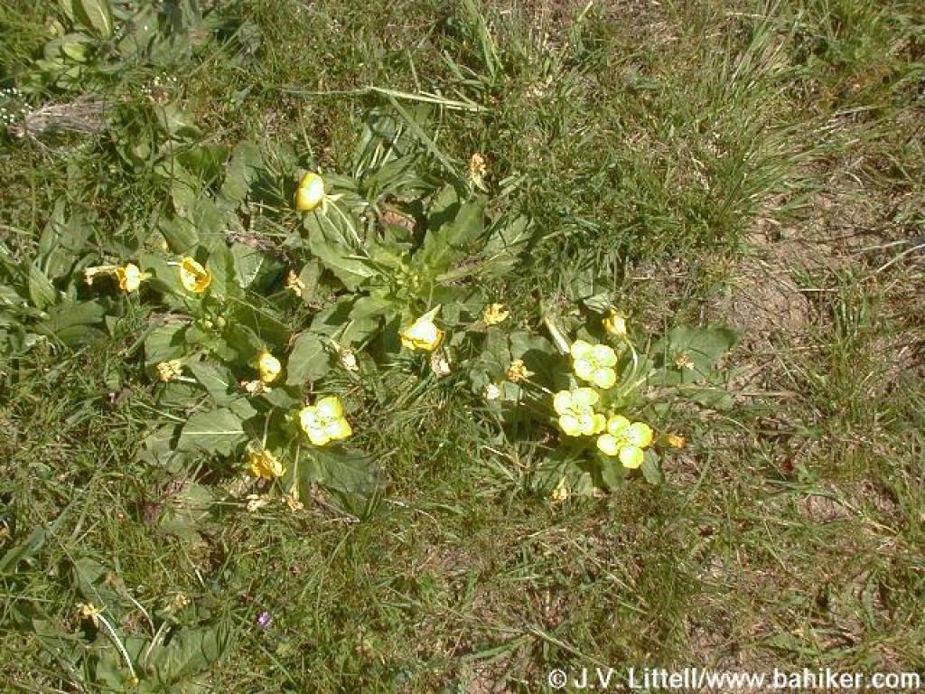
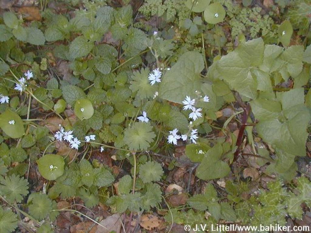
 Tiny flowers |
 Carpet of flowers |
 Looking back |
 Grass Valley Trail |
||||||
 Grass Valley Trail |
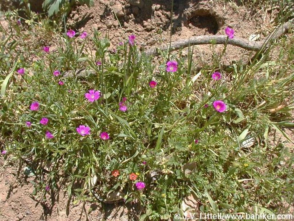
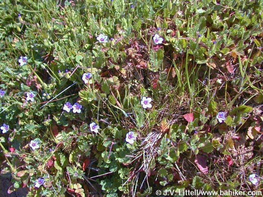 Close up of those tiny pink flowers, filaree |
 Grass Valley Trail |
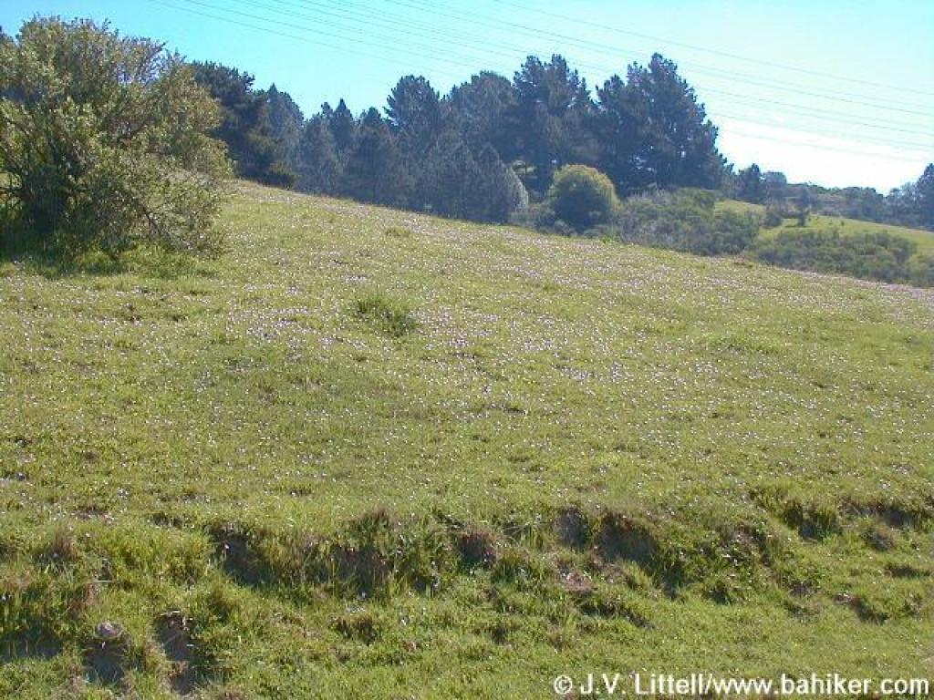
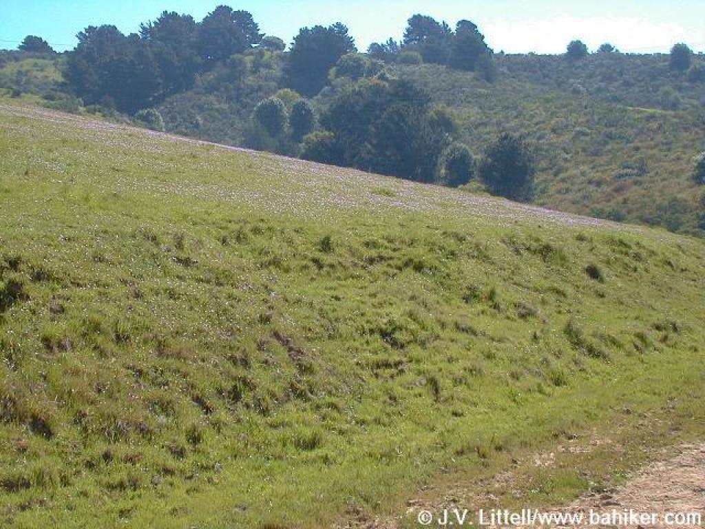 Flowers on hillside |
||||||
 Approaching junction with Redtail Trail |
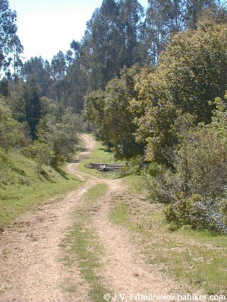 Leaving grassland |
 Through eucalyptus |
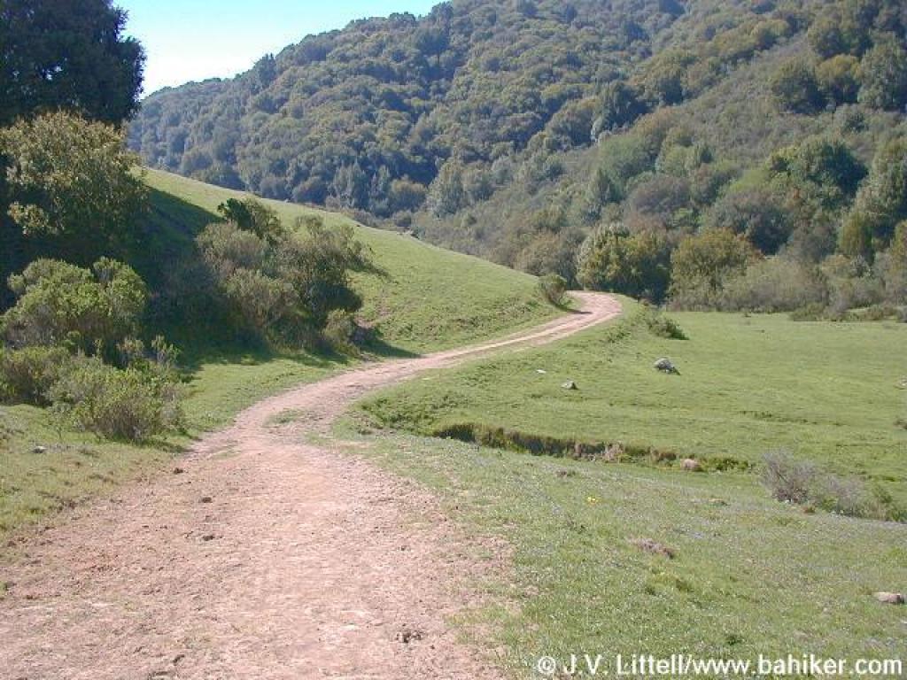
 Junction at Stone Bridge |
||||||
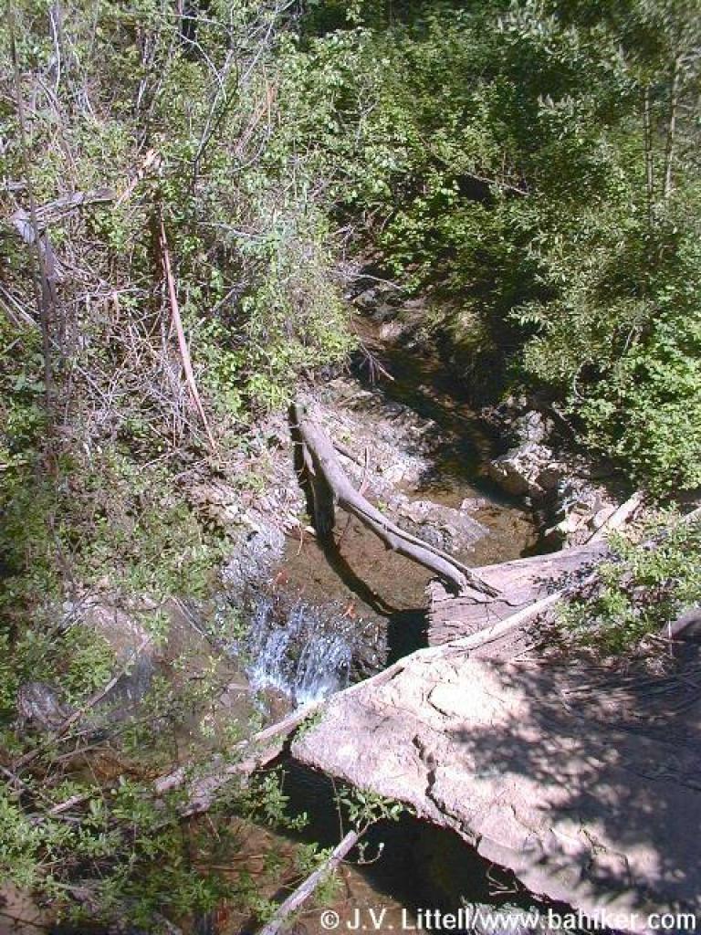 Creek |
 Cascade Trail |
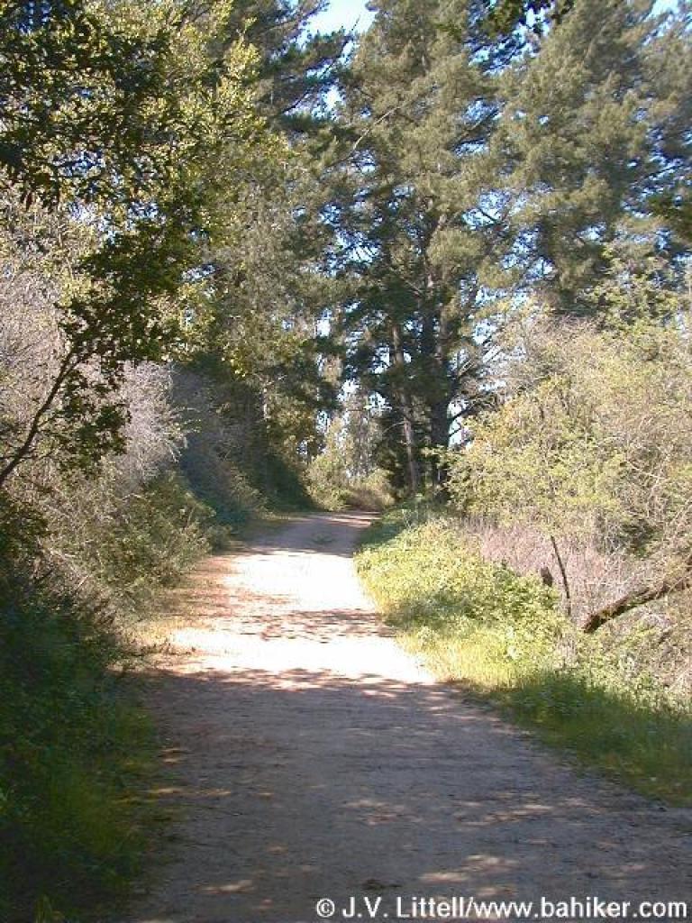
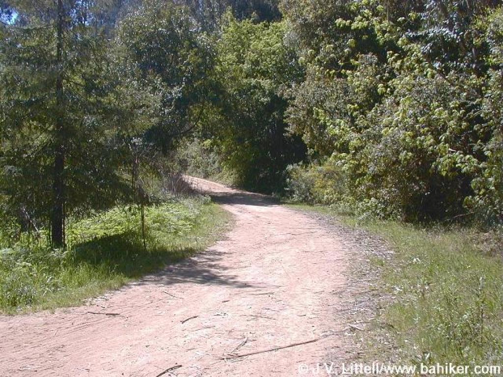 Start of Jackson Grade |
 New maple leaves |
||||||
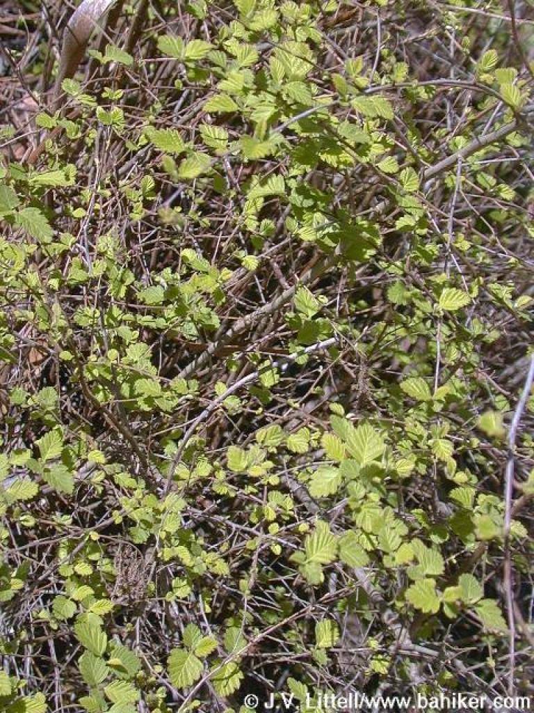 Creambush |
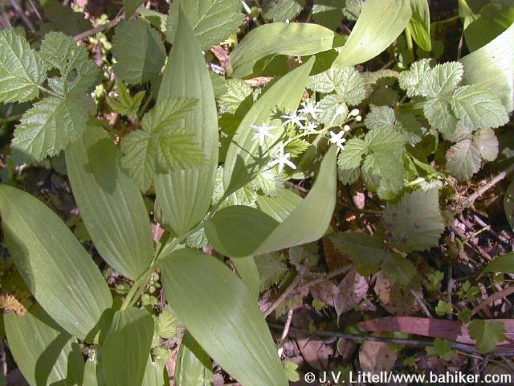 Slim Solomon's Seal? |
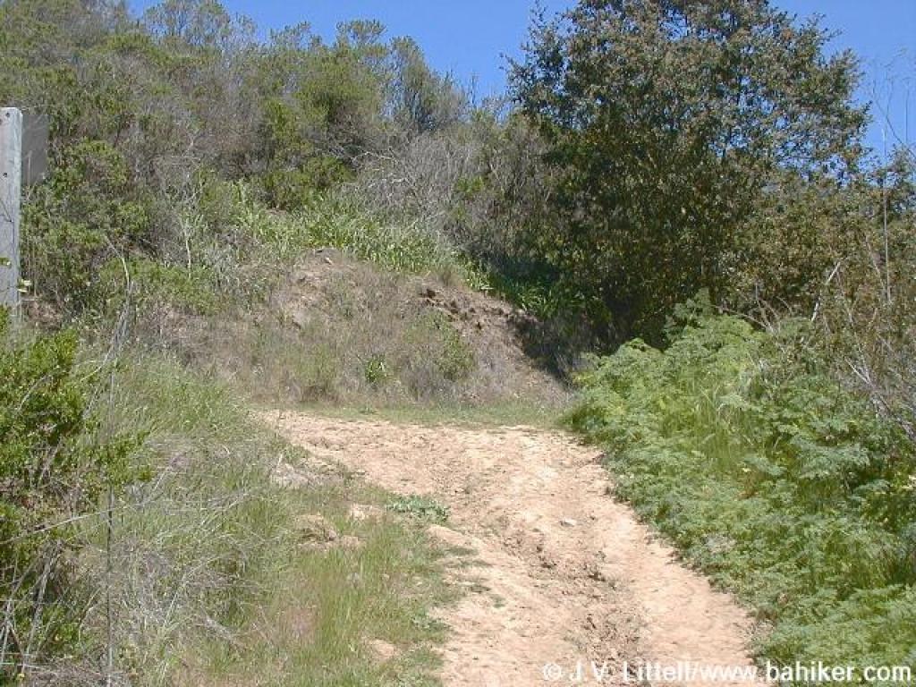
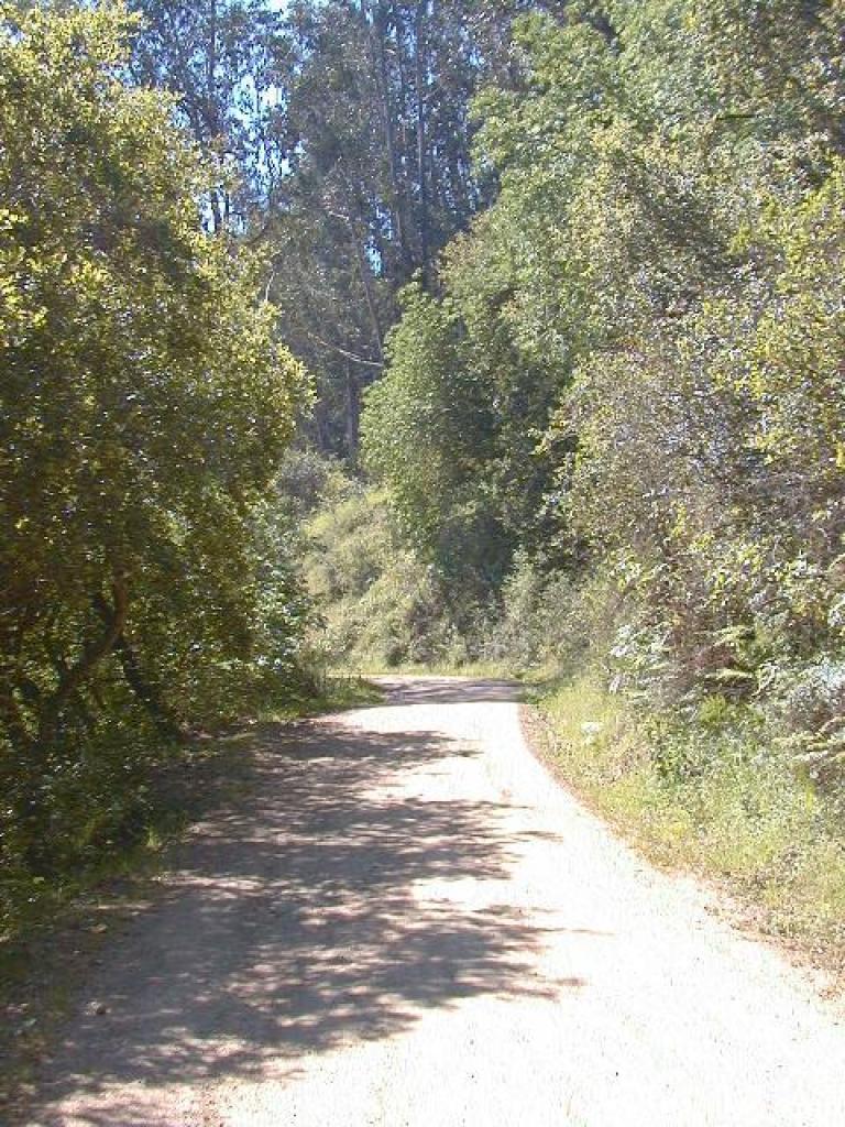 Easy climb |
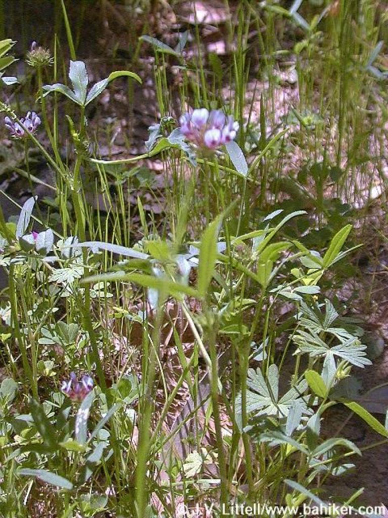 Flowers |
||||||
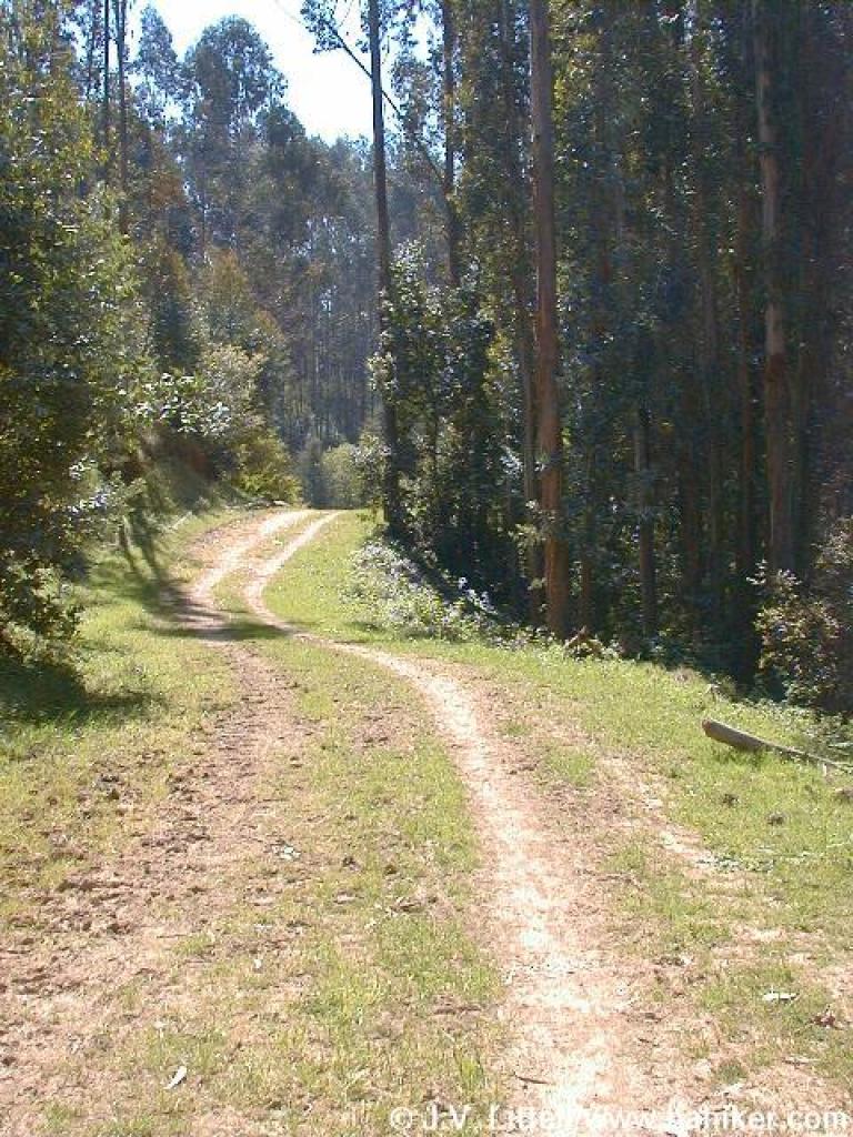
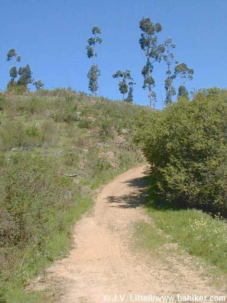
 Jackson Grade |
 Approaching junction |
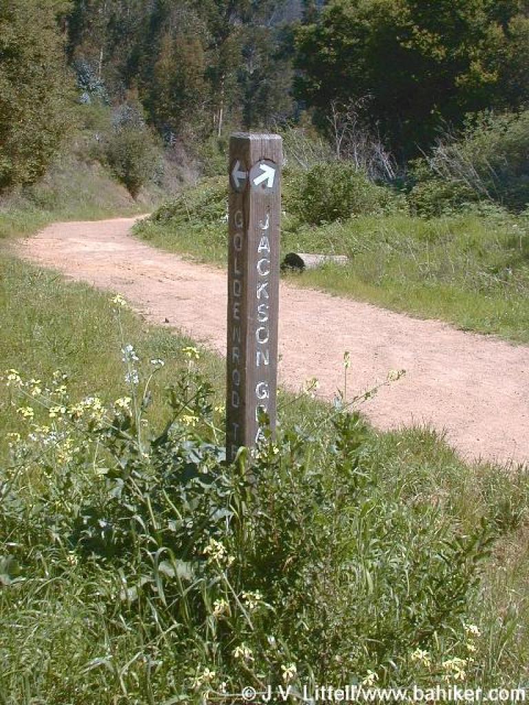 Junction |
 Goldenrod Trail |
||||||
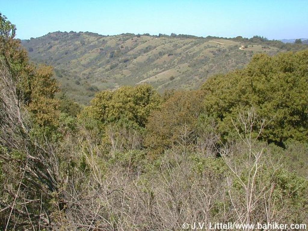
 View |
 Blue witch nightshade |
 Climbing |
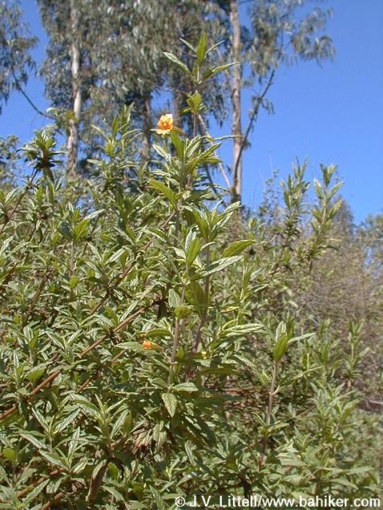 Sticky monkeyflower |
||||||
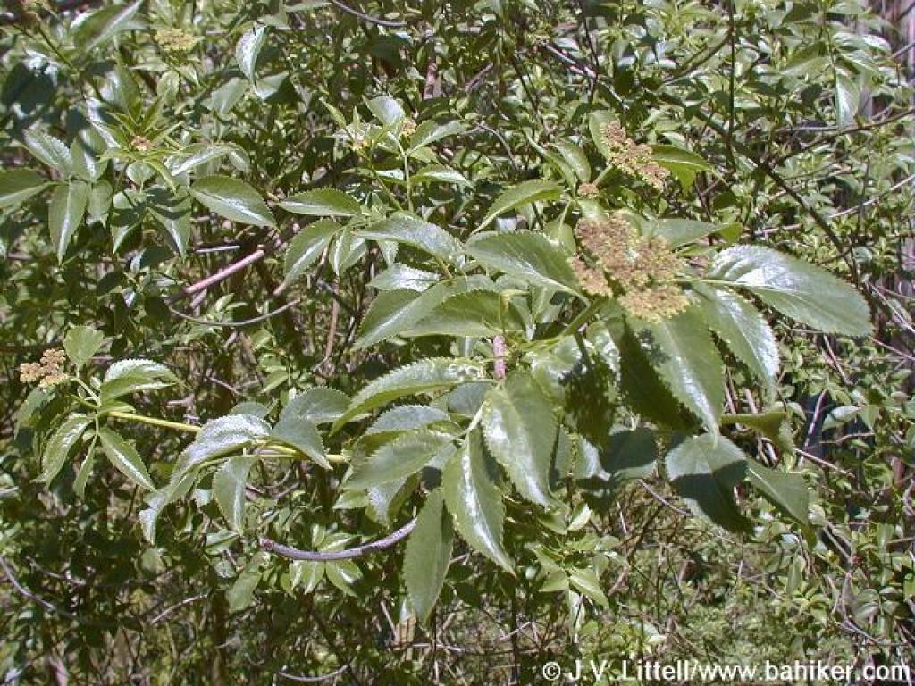 Elderberry tree |
 View |
 Looking back to spur junction |
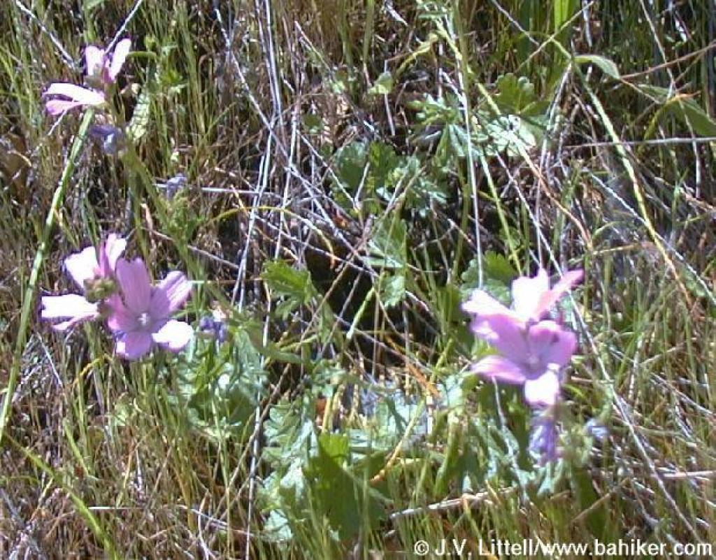 Checkerbloom |
||||||
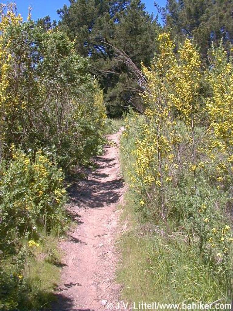
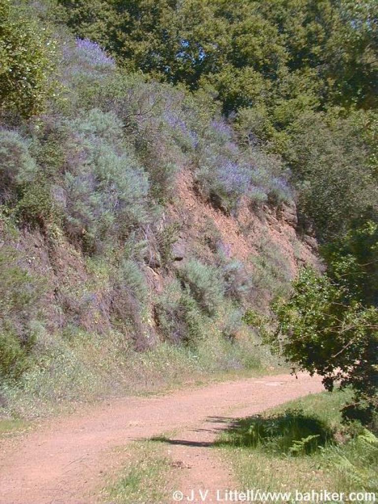
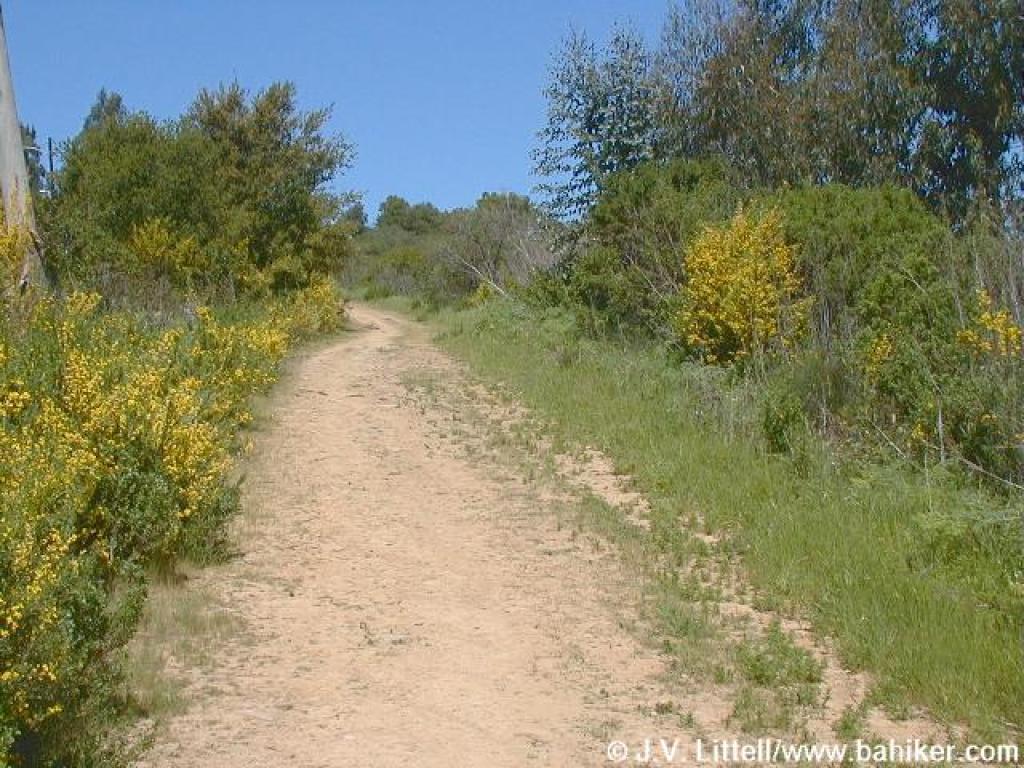 Broom on the sides of Goldenrod Trail |
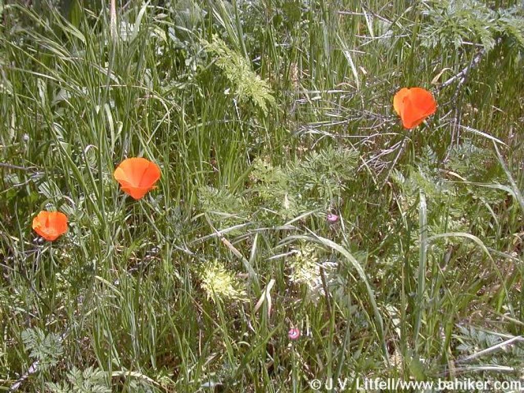 California poppies |
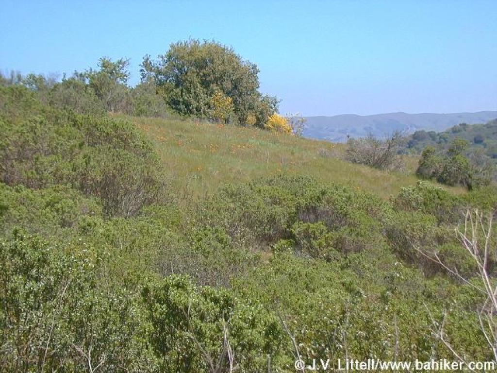 Poppies on the hillside |
 Poppies |
||||||
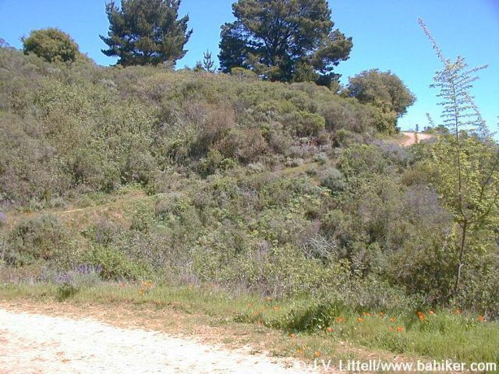
 Through pines |
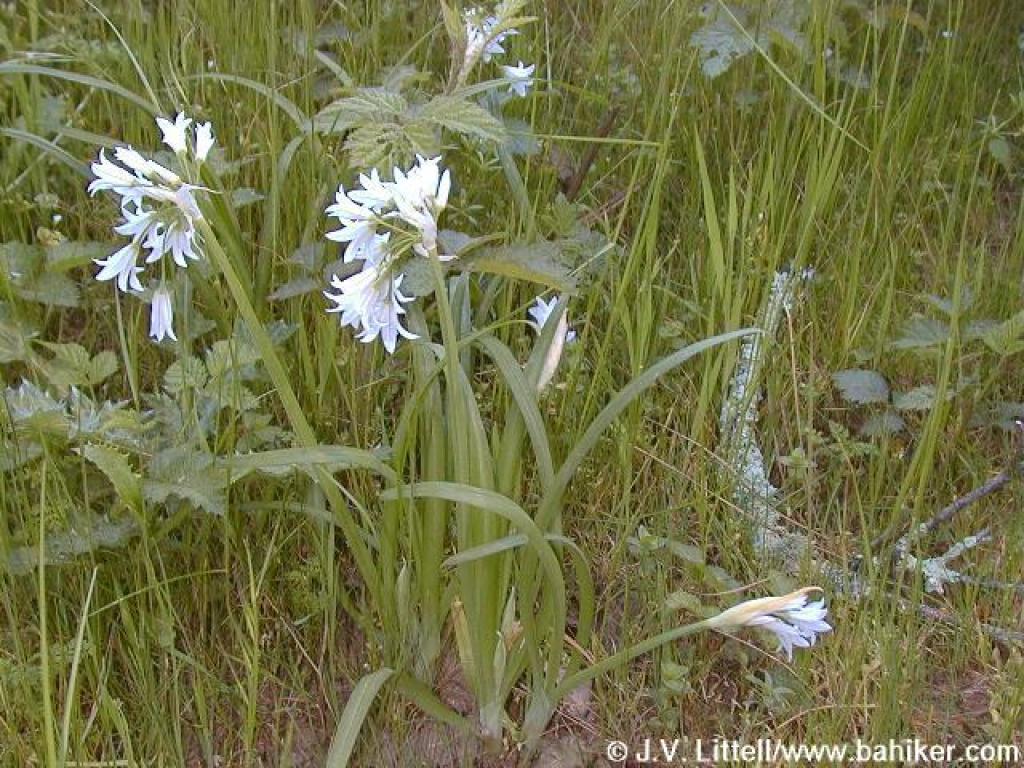 Welsh onion |
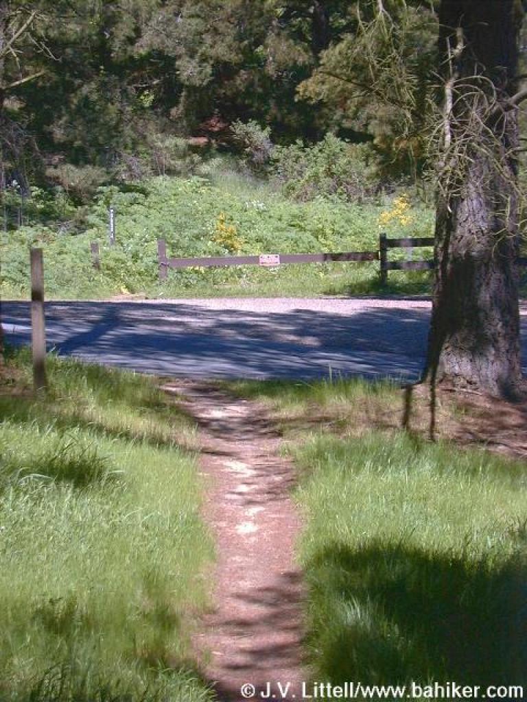
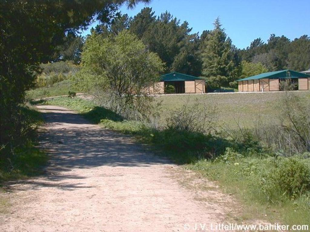 Near equestrian center |
 Junction |
||||||
 Squeezing through broom |
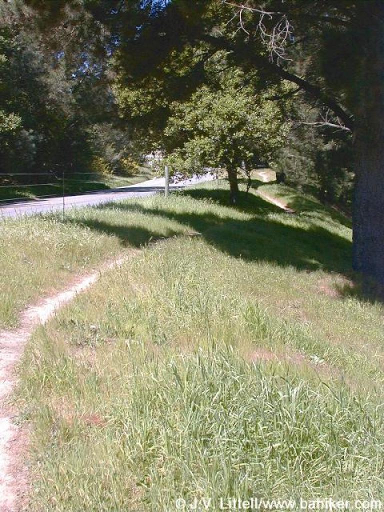 Edging near Skyline Blvd. |
 Crossing the street |
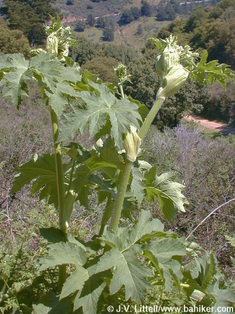 Cow parsnip |
||||||
 Woodland star flowers |
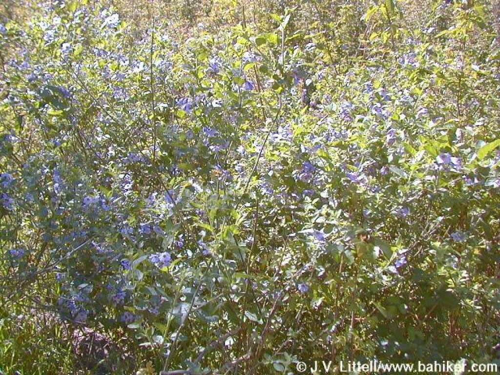
 Lupine on hillside |
 Redmaids |
 Trail climbs a bit |
||||||
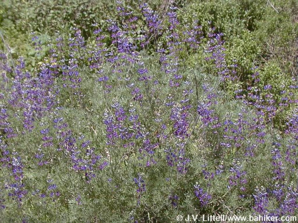 Bush lupine |
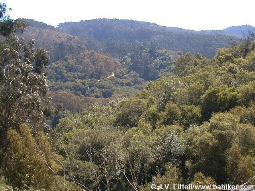
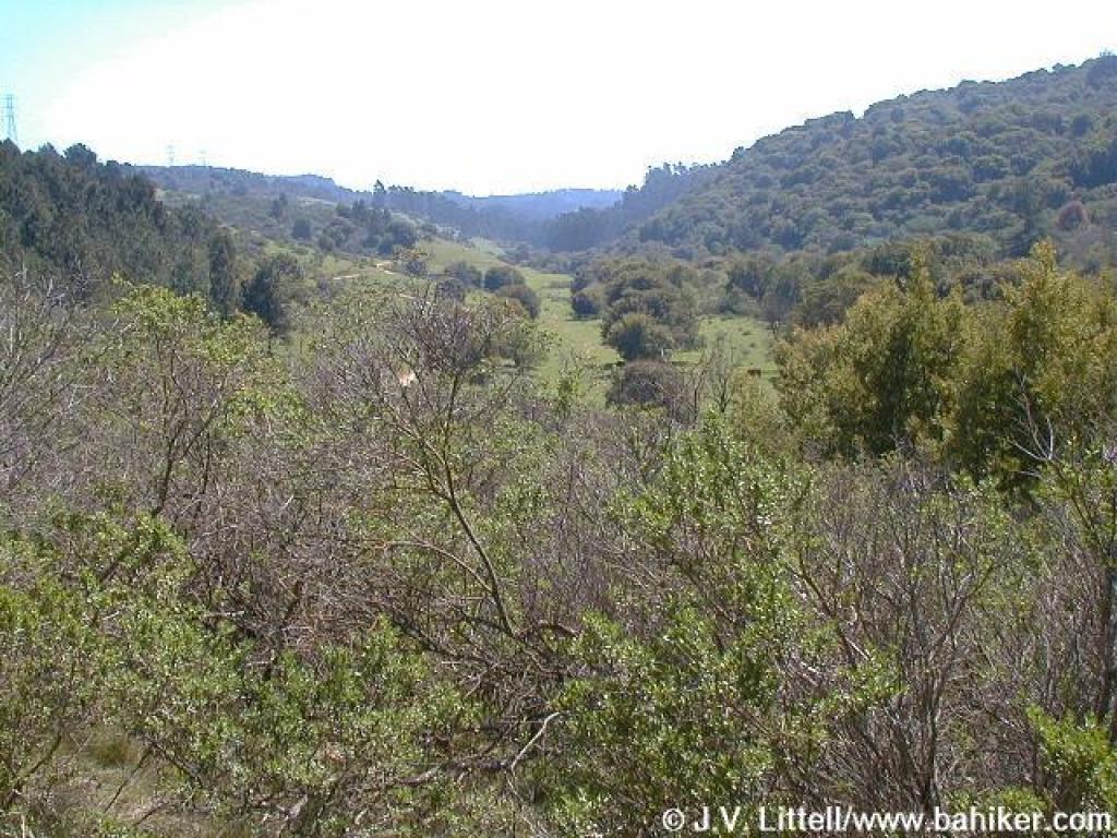
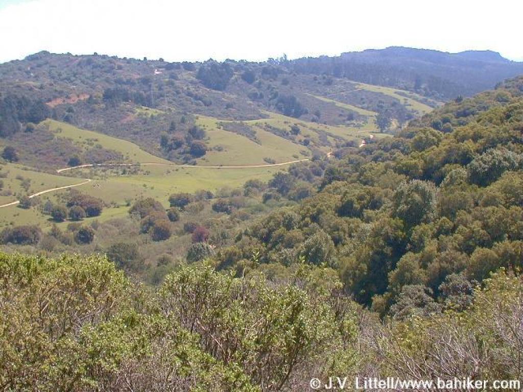 Valley |
 View across valley to trailhead |
 View down to the valley |
||||||
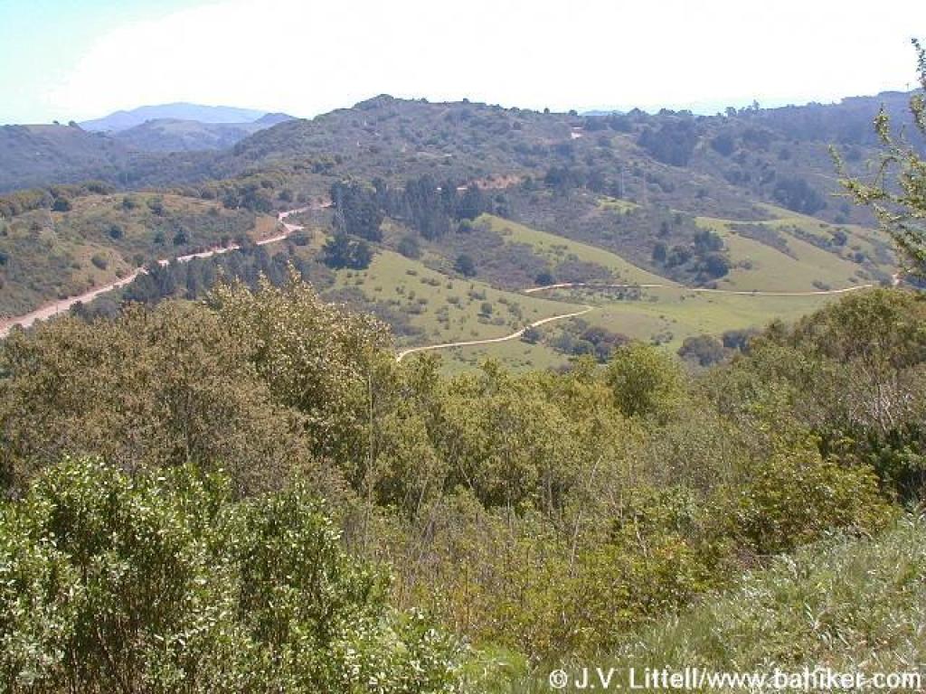
 View northeast to the MacDonald Trail |
 Curve in the trail |
 Junction with paved service road |
 Junction |
||||||
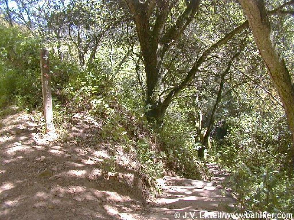 Start of Buckeye Trail |
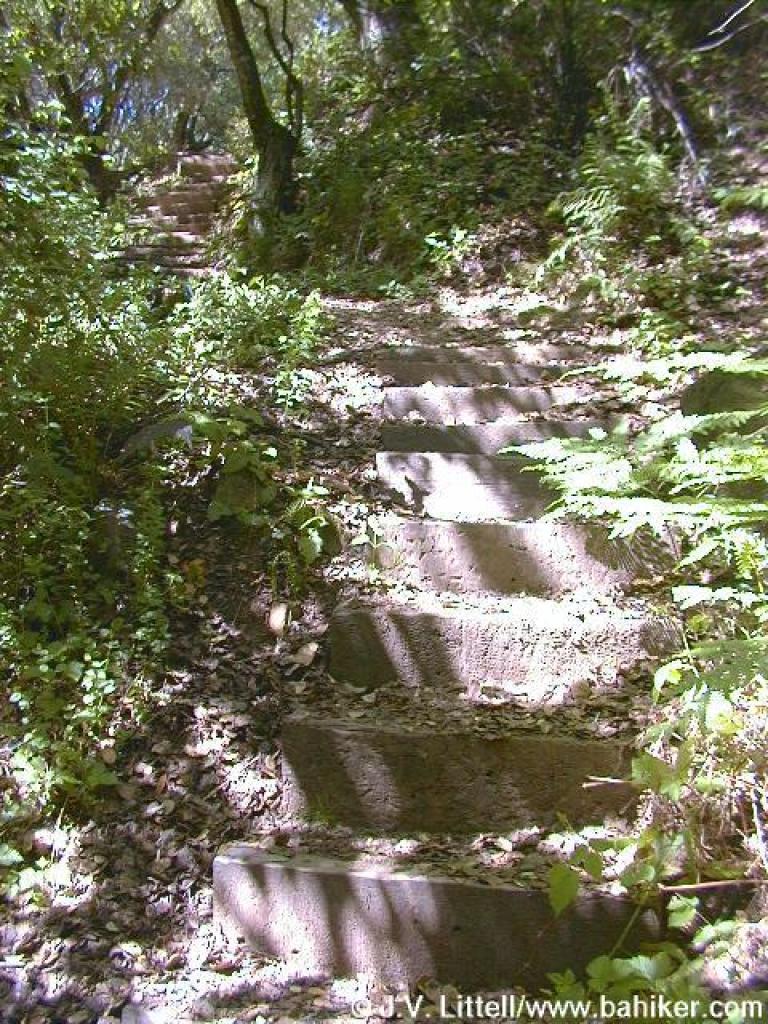 Looking back up the steps |
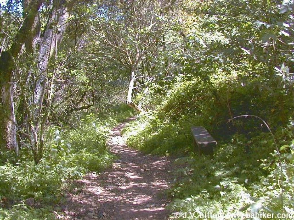
 Under the trees |
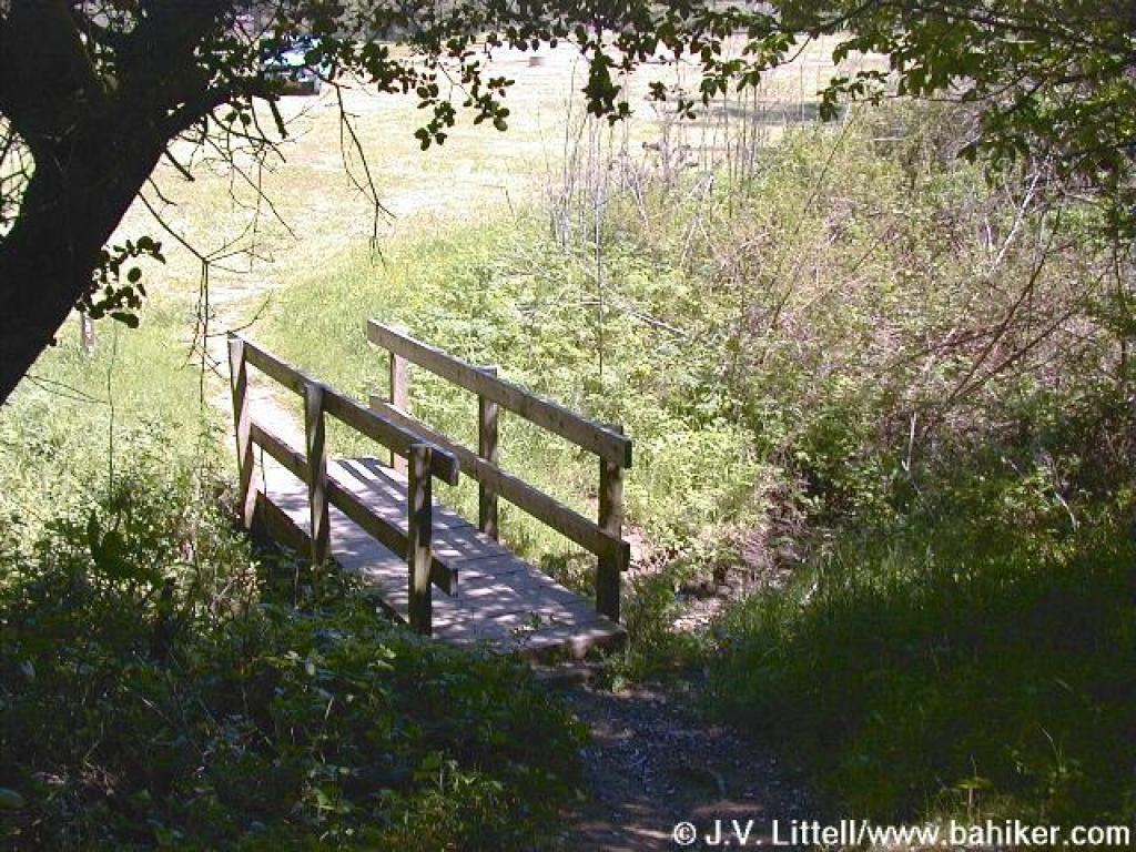
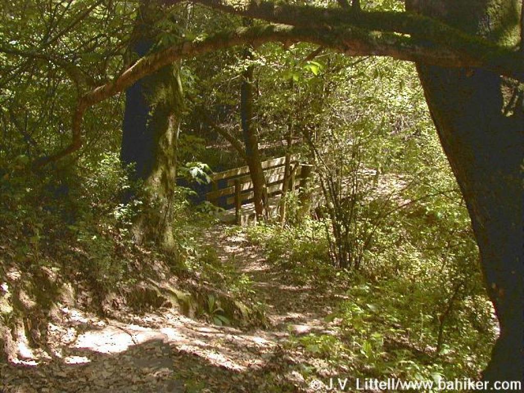 Bridge |
||||||
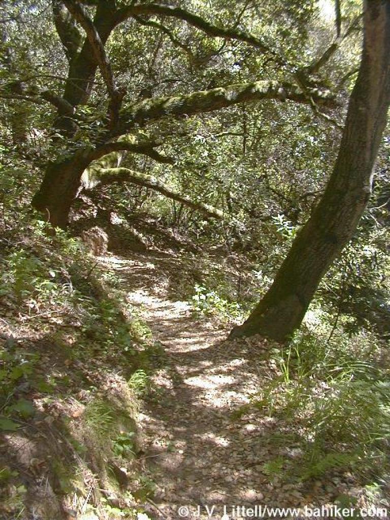
 Buckeye Trail |
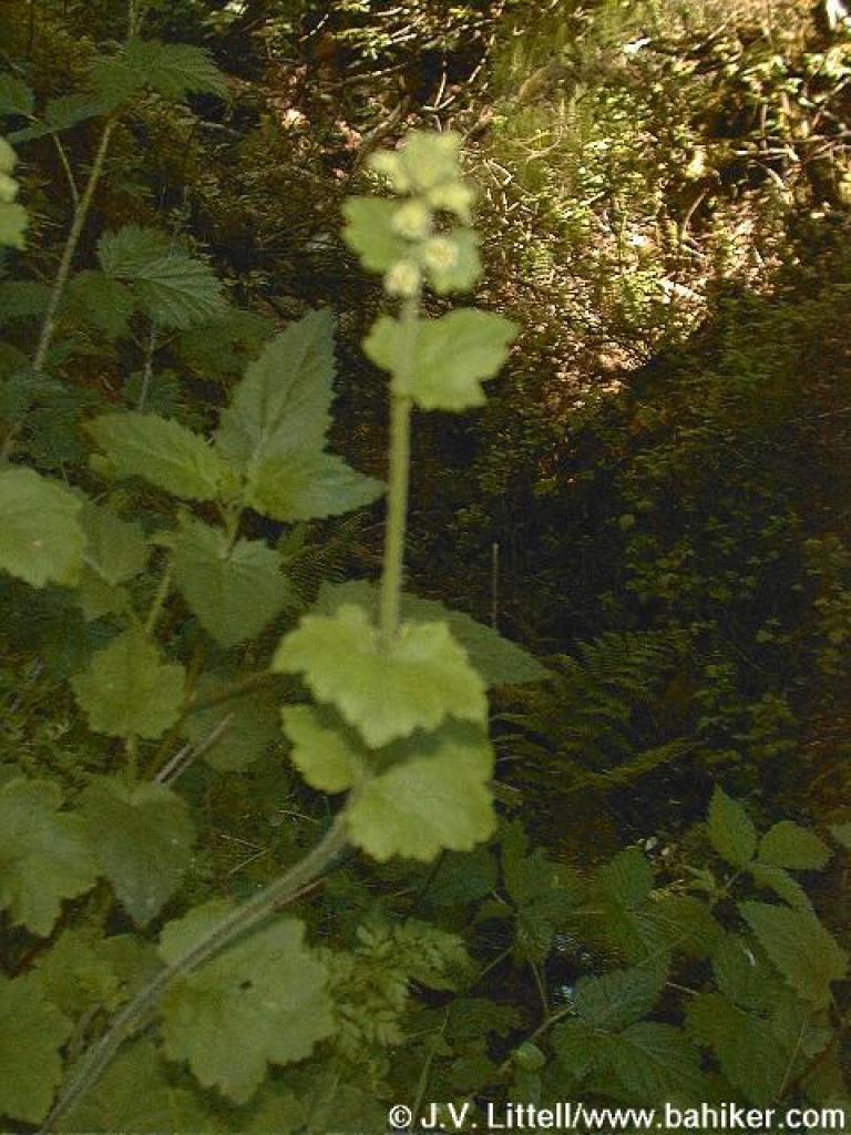 Fringecups |
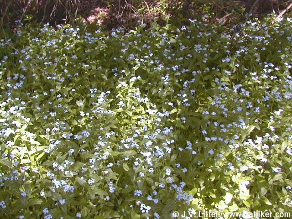 Forget me-nots |
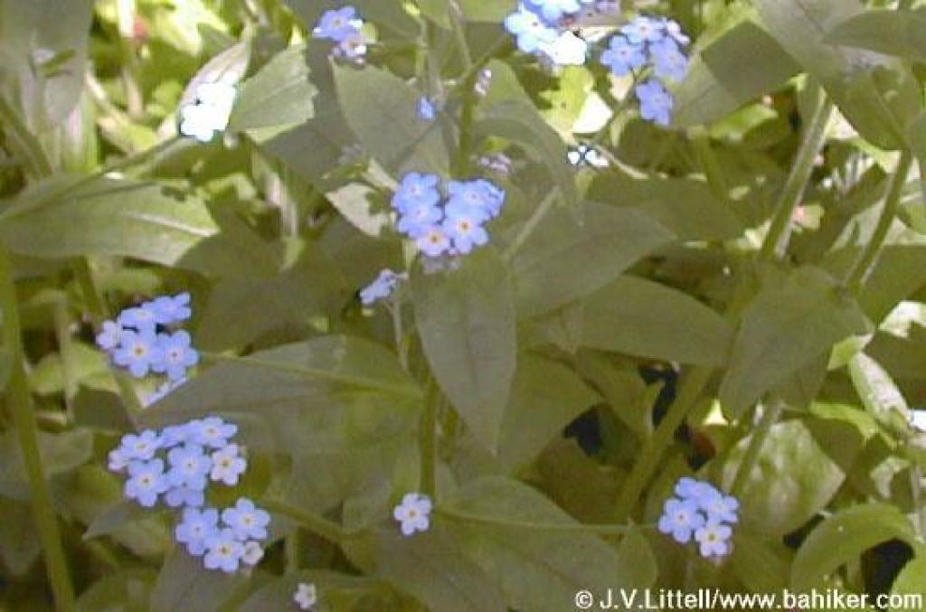 Forget me-nots |
||||||
 Rest bench |
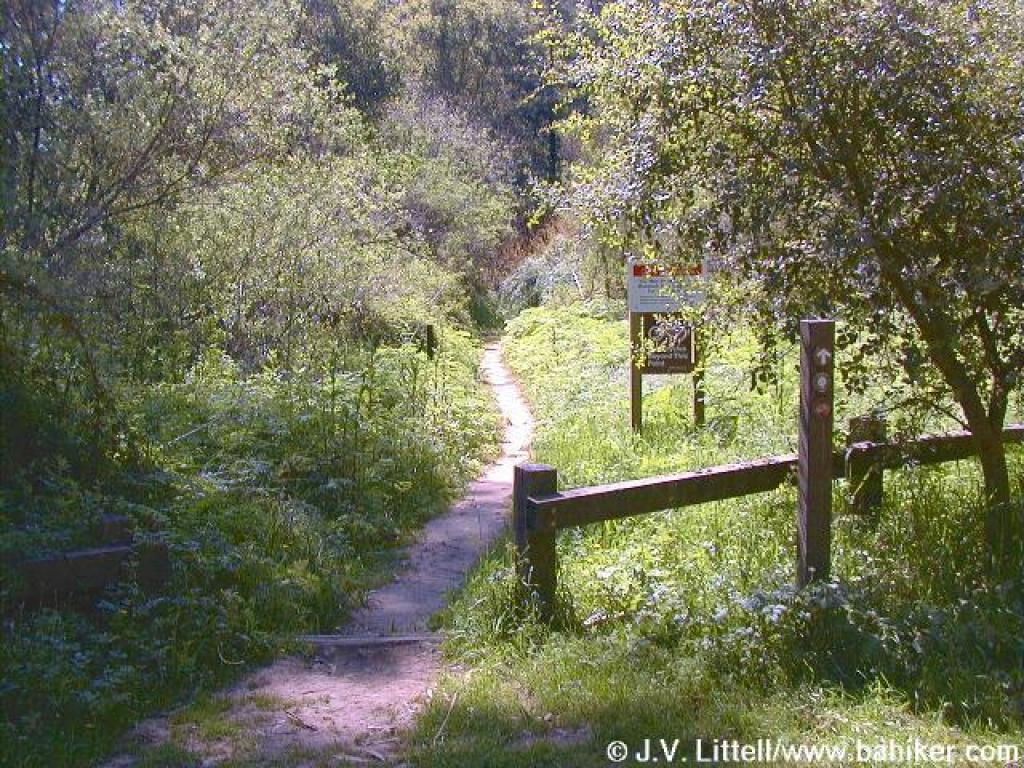
 Bridge marks ends of the Buckeye Trail, and the beginning of Bort Meadow |
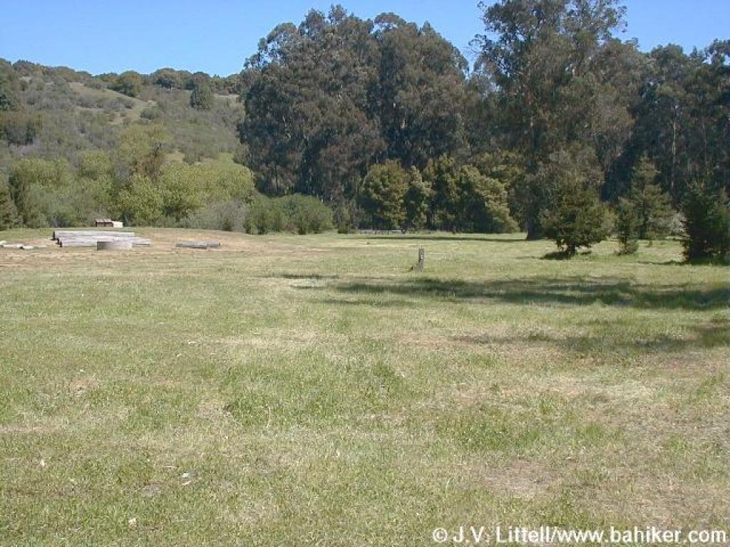 Entering the meadow |
 Crossing through the meadow |
||||||
 Bort Meadow |
 Junction |
 Spur to trailhead |
 Buttercups line the path |
||||||
 Blue-eyed grass |
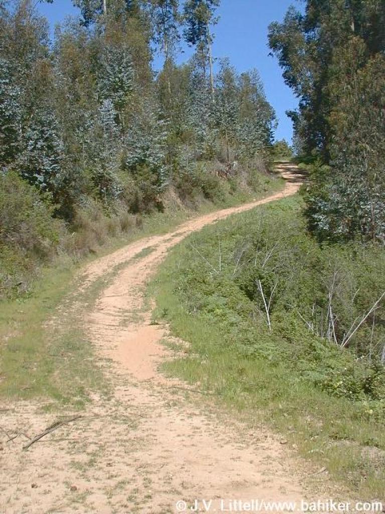
 Climbing uphill |
 Split |
 View south |
||||||
 Junction with MacDonald Trail |
 Returning to the trailhead |
||||||||
| Go
to Bay Area Hiker Chabot page Go to Bay Area Hiker Home page |
|||||||||