| Photos
from an August 2002 hike at Carquinez Strait Regional Shoreline (click on any image for a larger view) |
|||||||
 Trailhead |
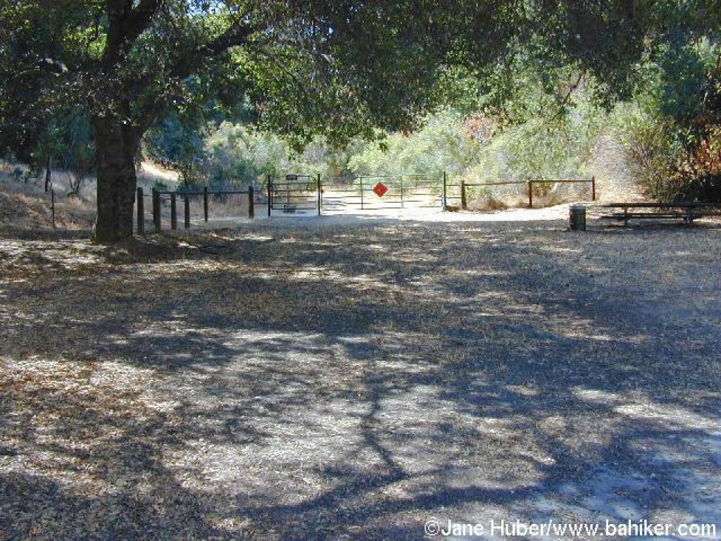 Start, near a picnic table |
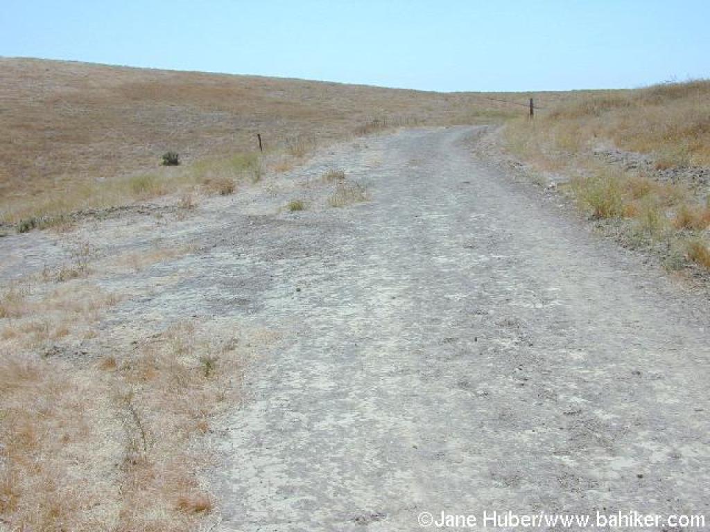
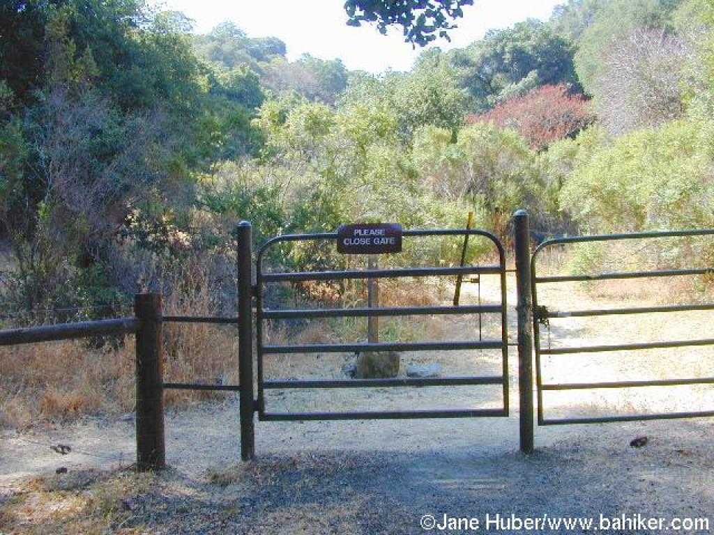 Gate |
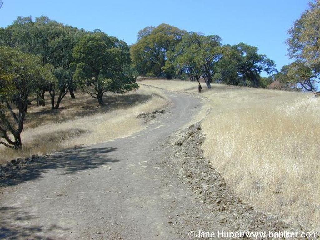
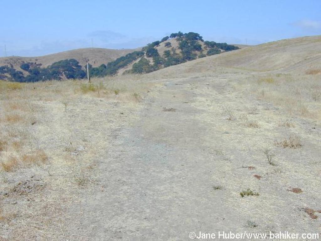
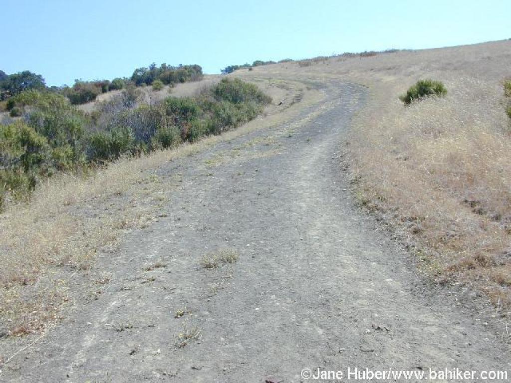
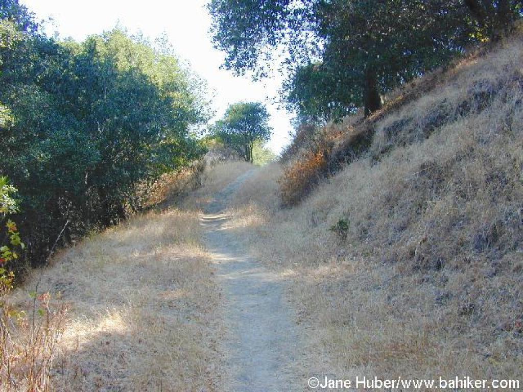 Rankin Park Trail |
||||
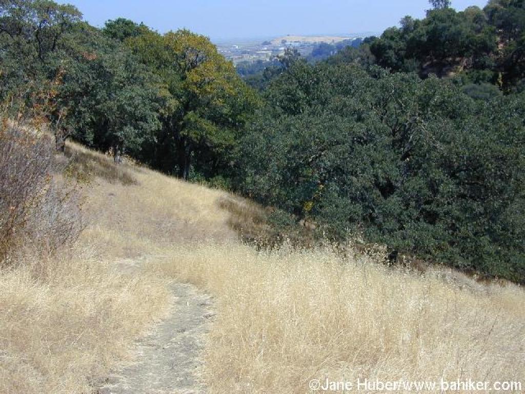
 Ascending through grassland, with a buckeye along the trail |
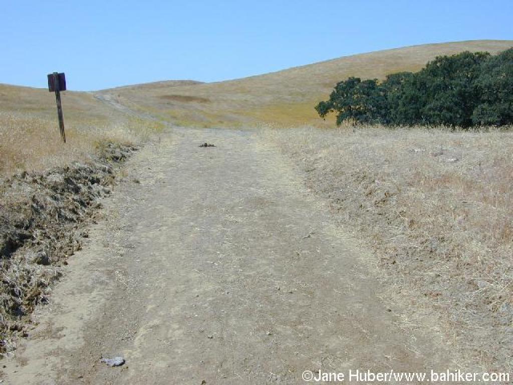
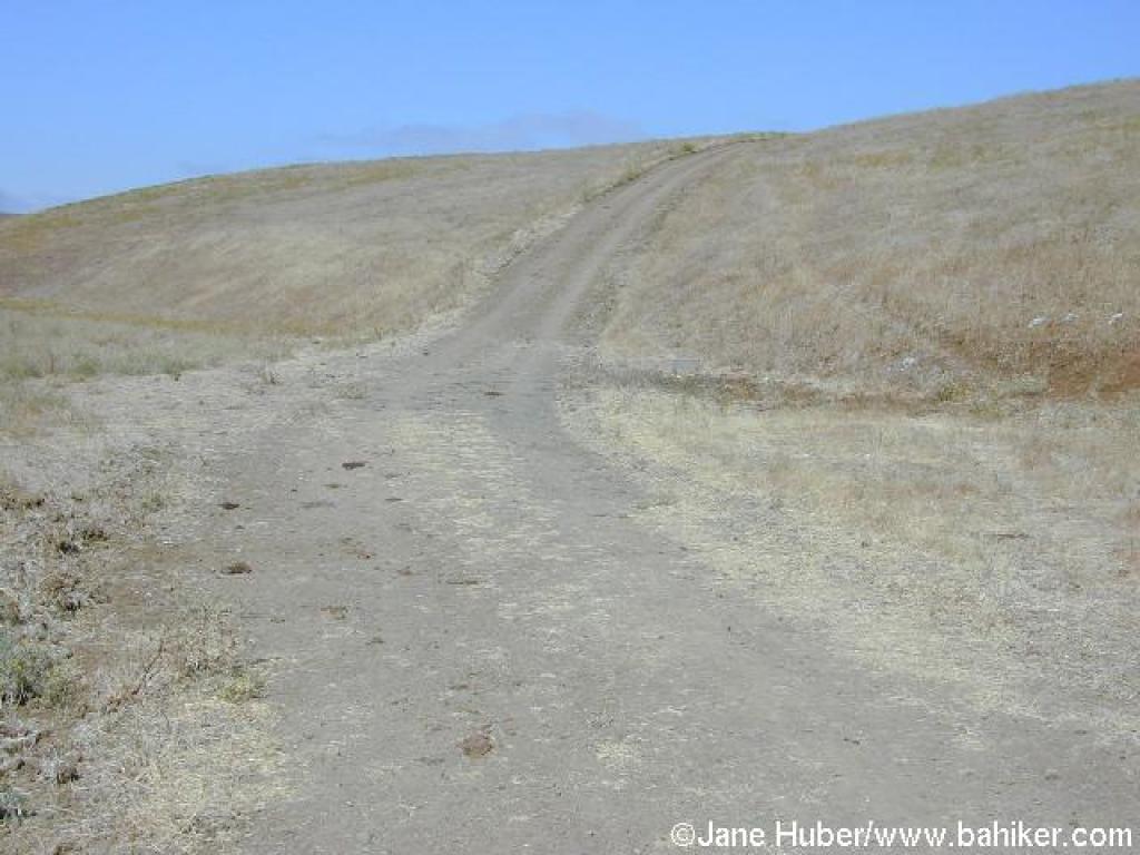
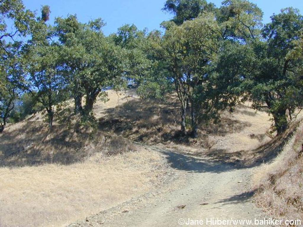
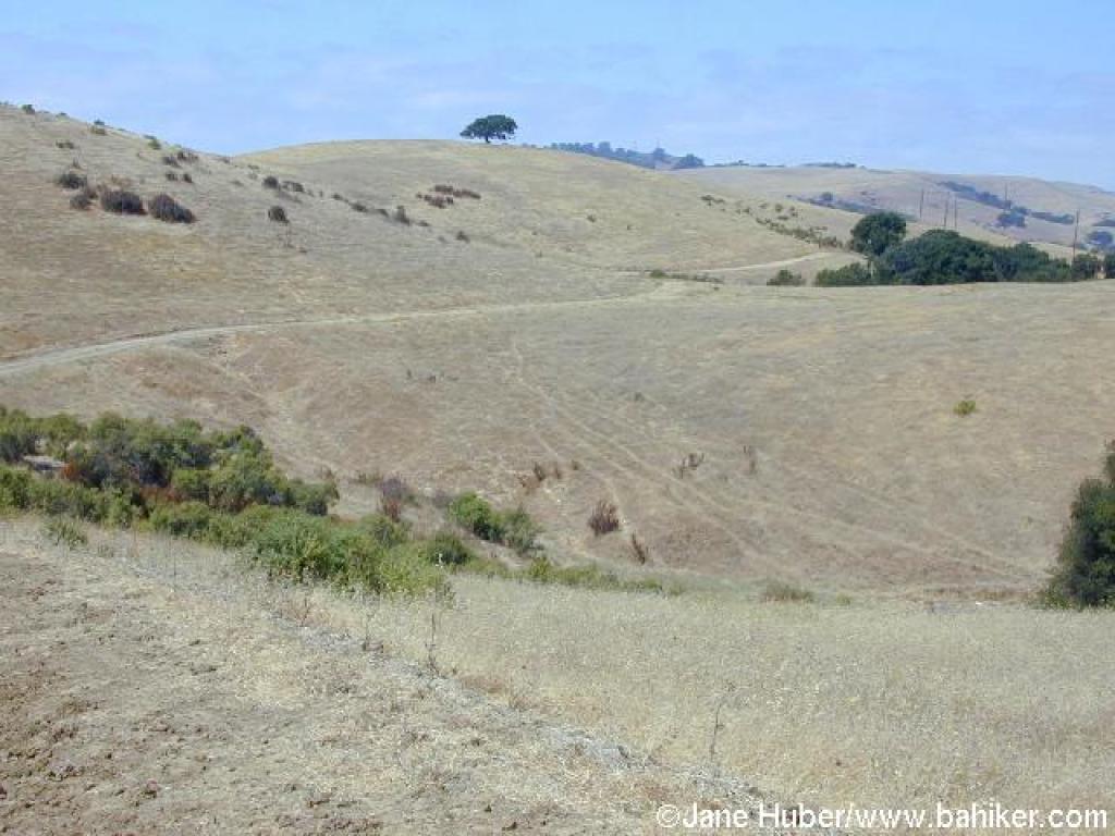
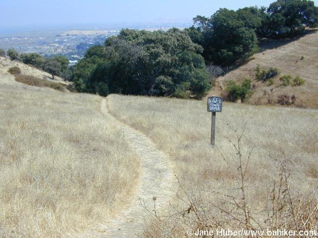
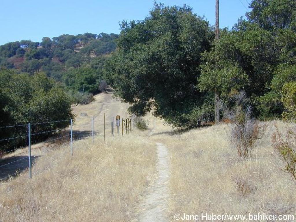 Approaching junction |
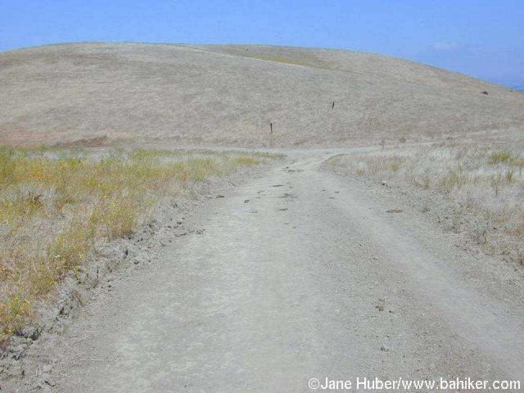
 Still climbing, now on a fire road |
 Gate |
||||
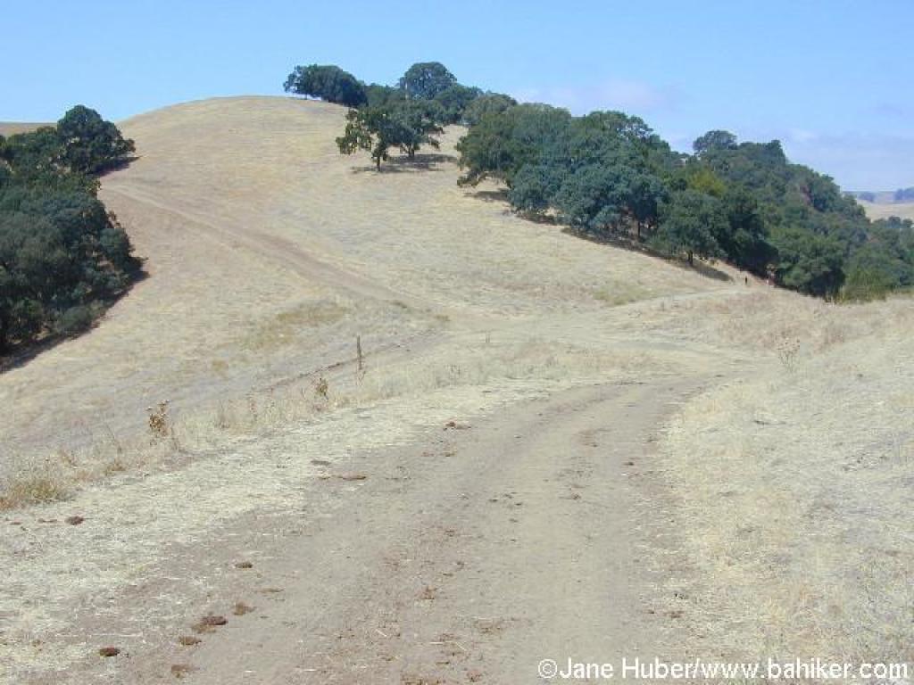
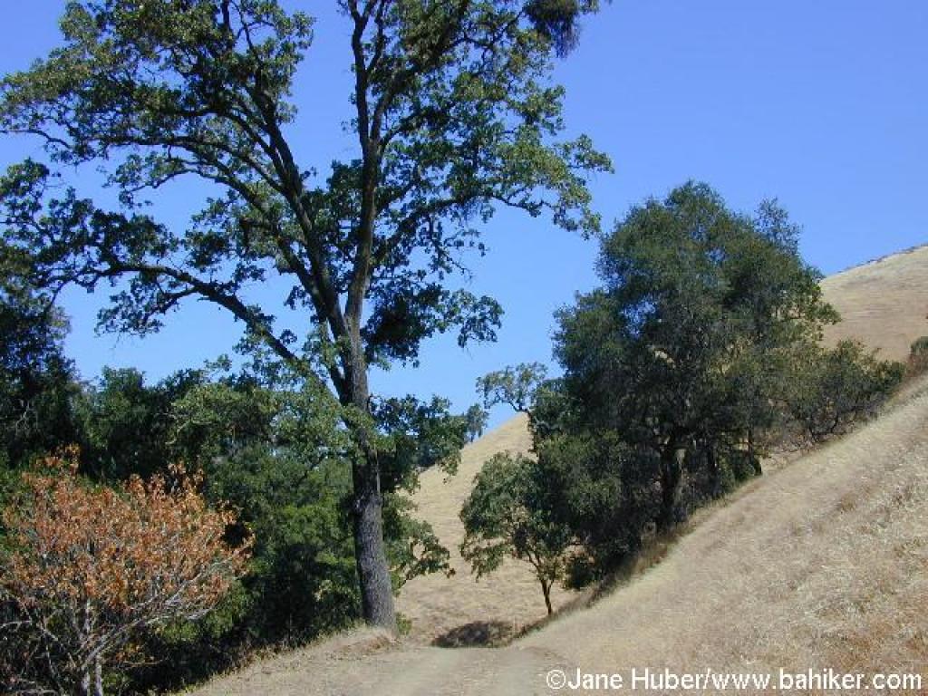
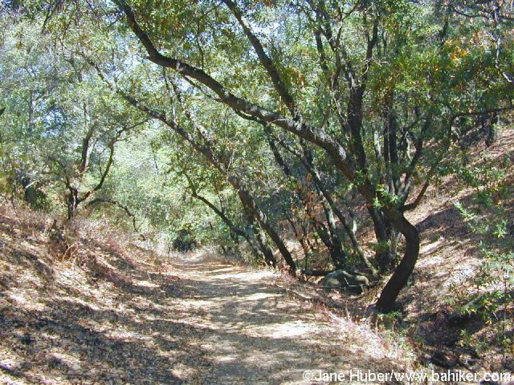
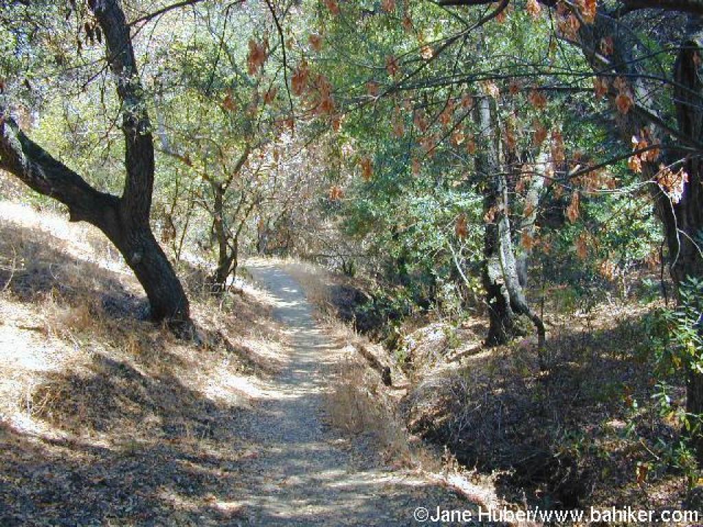
 Oaks along the trail |
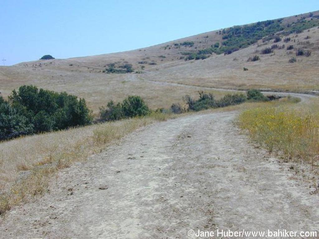
 Grassland |
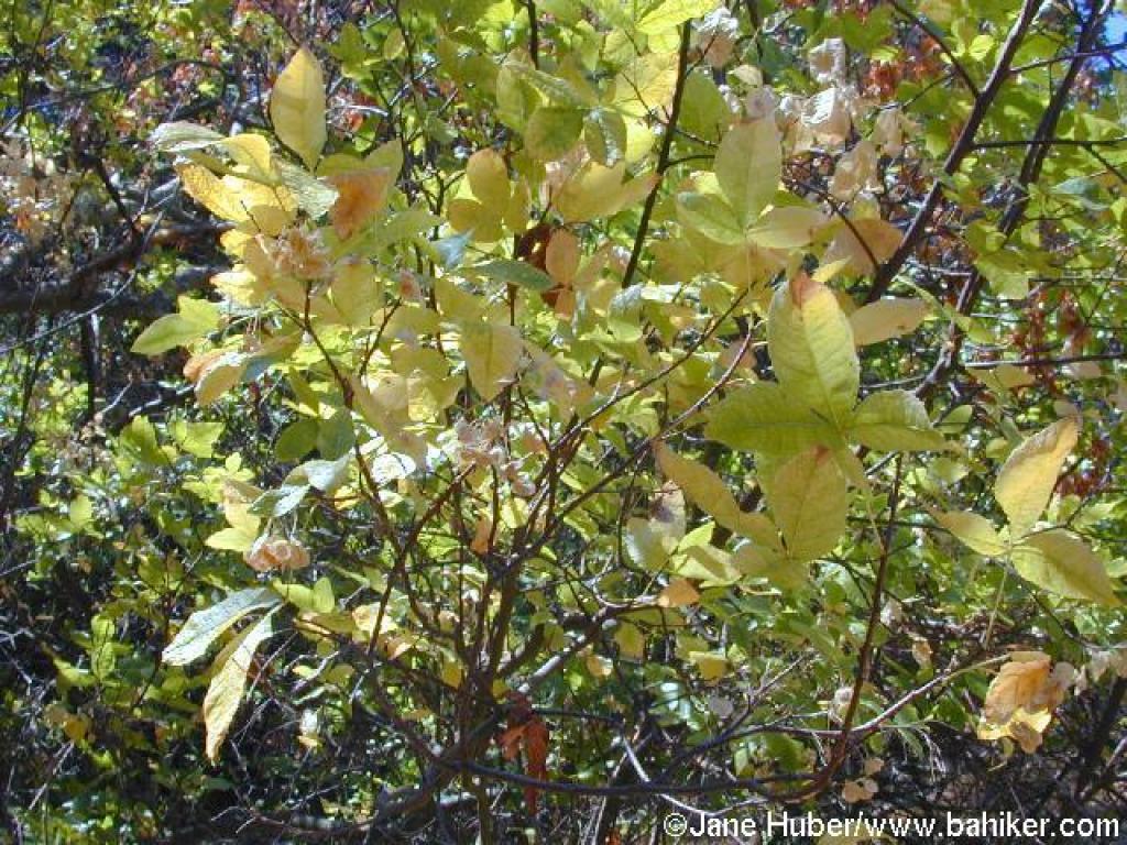
 Yellow flowers on the hillside |
 A look back downhill |
||||
 Rankin Park Trail |
 Junction |
 California Riding and Hiking Trail |
 Approaching junction |
||||
 Franklin Ridge Loop Trail |
 Approaching junction |
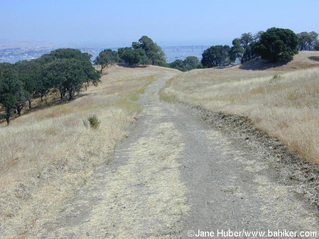
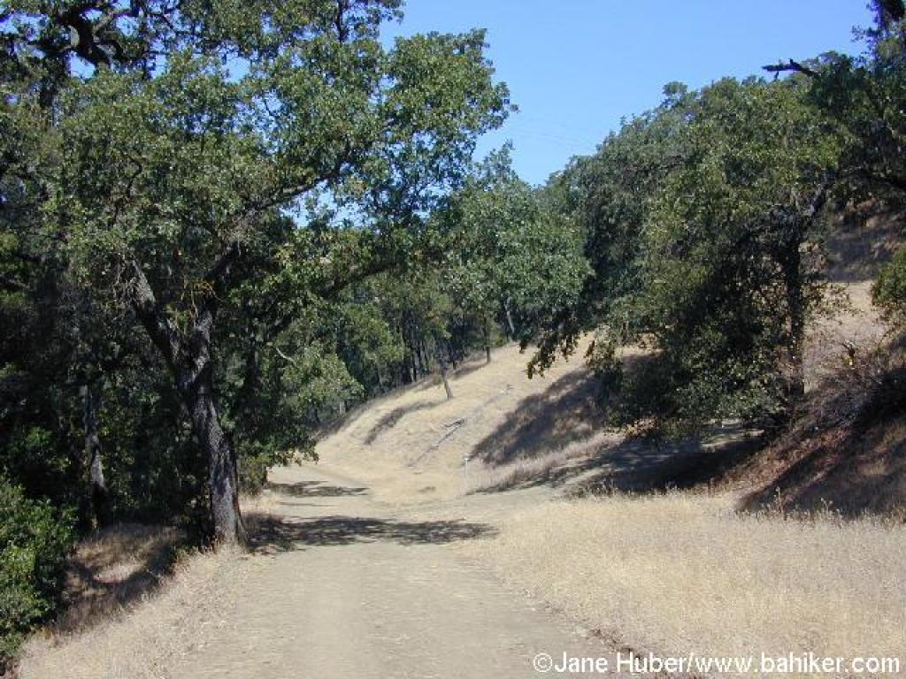
 Descending |
 Oaks along the trail |
||||
 Approaching junction |
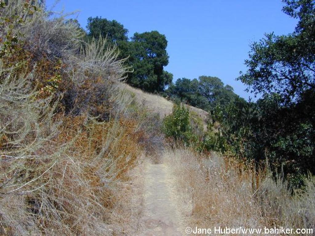
 Steep section |
 Franklin Ridge Loop Trail |
 Back in grassland |
||||
 Junction |
 Path to viewpoint |
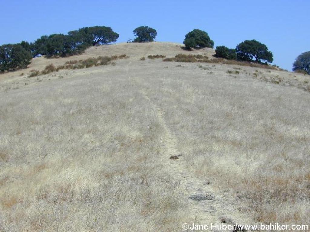
 Hilltop |
 Bench |
||||
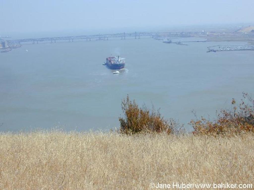 View |
 Return to loop trail |
 Bench along the loop trail |
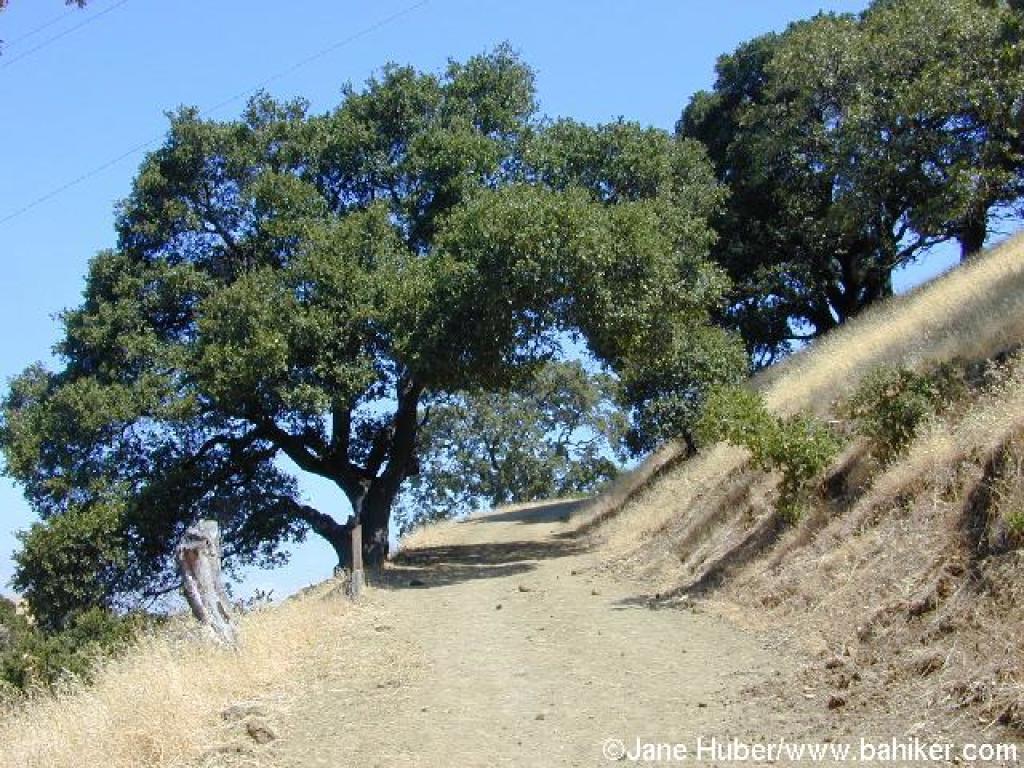
 Easy ascent |
||||
 View back down the trail |
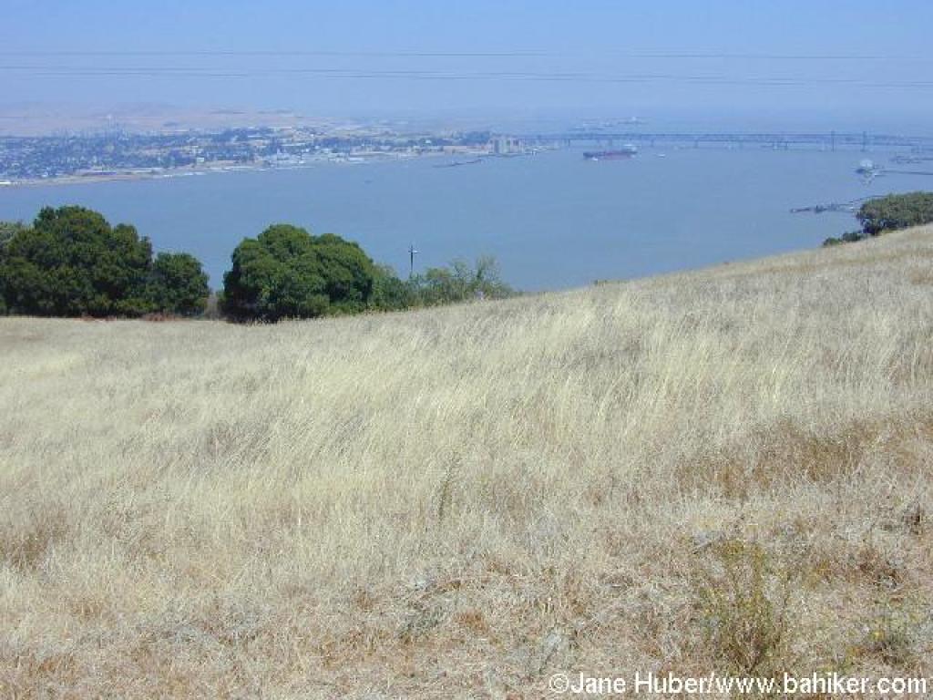 View |
 Franklin Ridge Loop Trail |
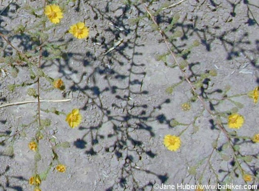 Summer flowers |
||||
 Junction |
 California Riding and Hiking Trail |
 Descending |
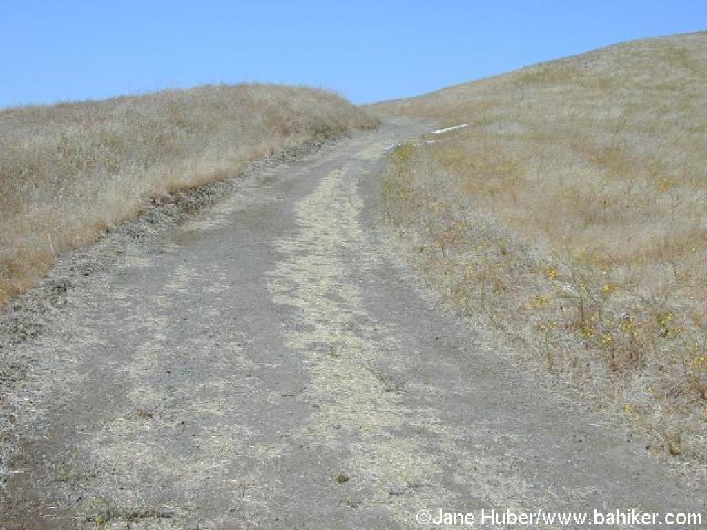
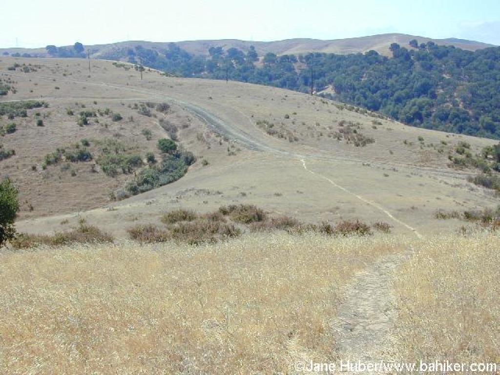
 Sunny stretch |
||||
 Oaks along the trail |
 Ash |
 Along a creekbed |
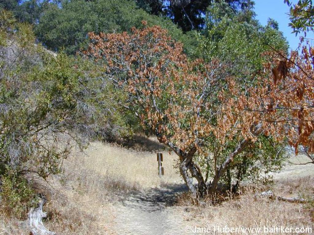 Buckeye stands next to the trail |
||||
 End |
Go to Bay Area Hiker Carquinez Strait page Go to Bay Area Hiker Home page |
||||||