| Photos
from a February 2001 hike to Donner Falls, Mount Diablo State Park (click on any image for a larger view) |
|||||||
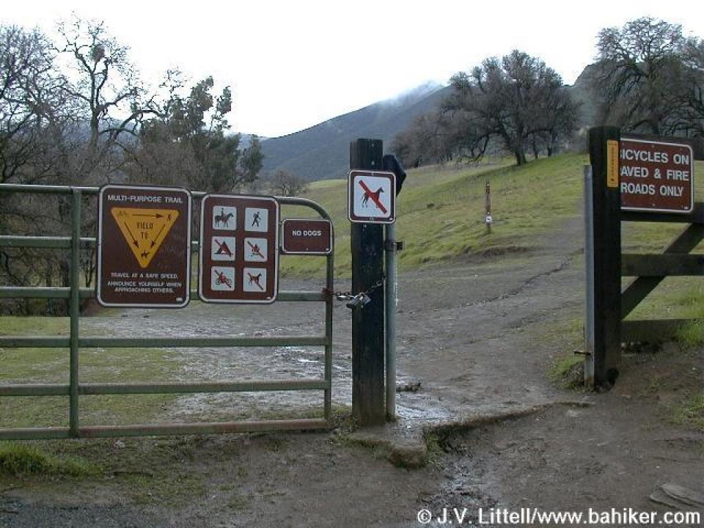
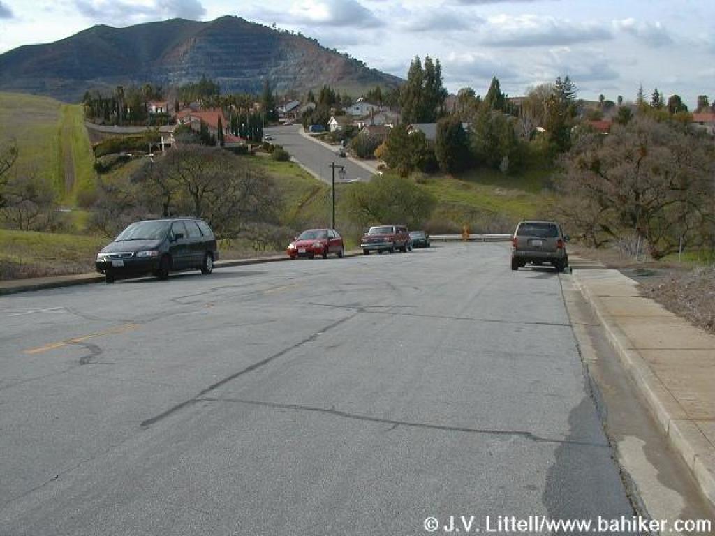 Trailhead |
 Gate |
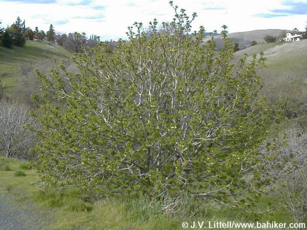 Buckeye |
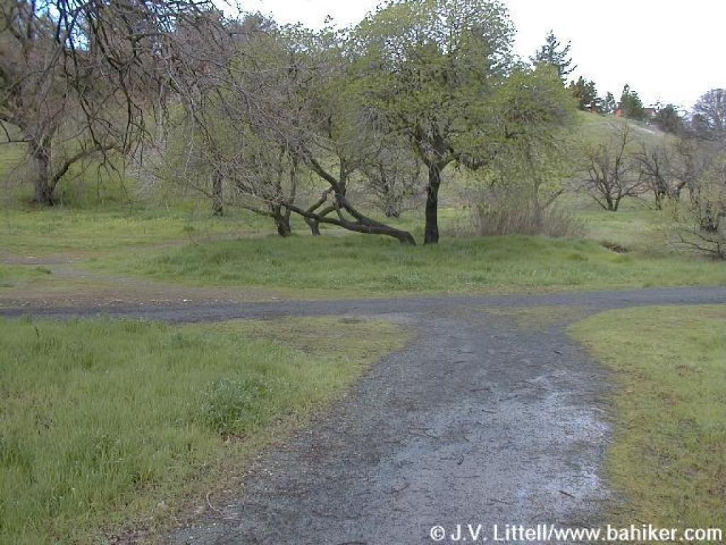 Junction |
||||
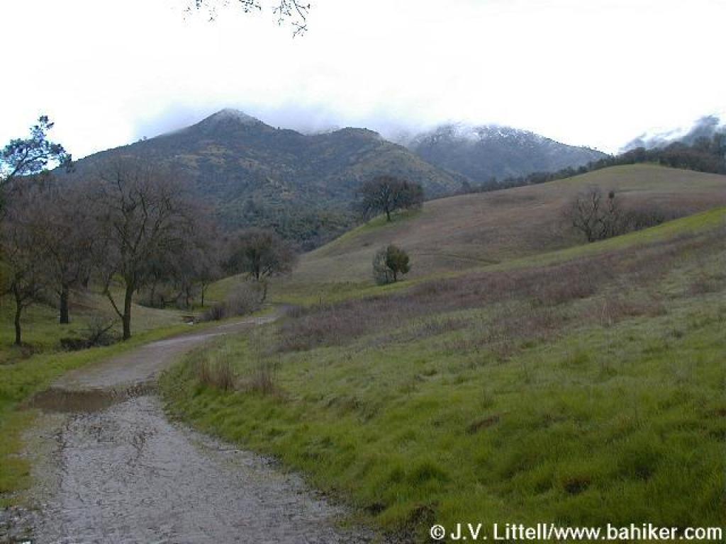
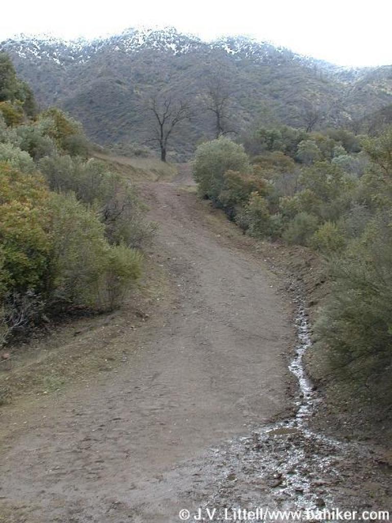
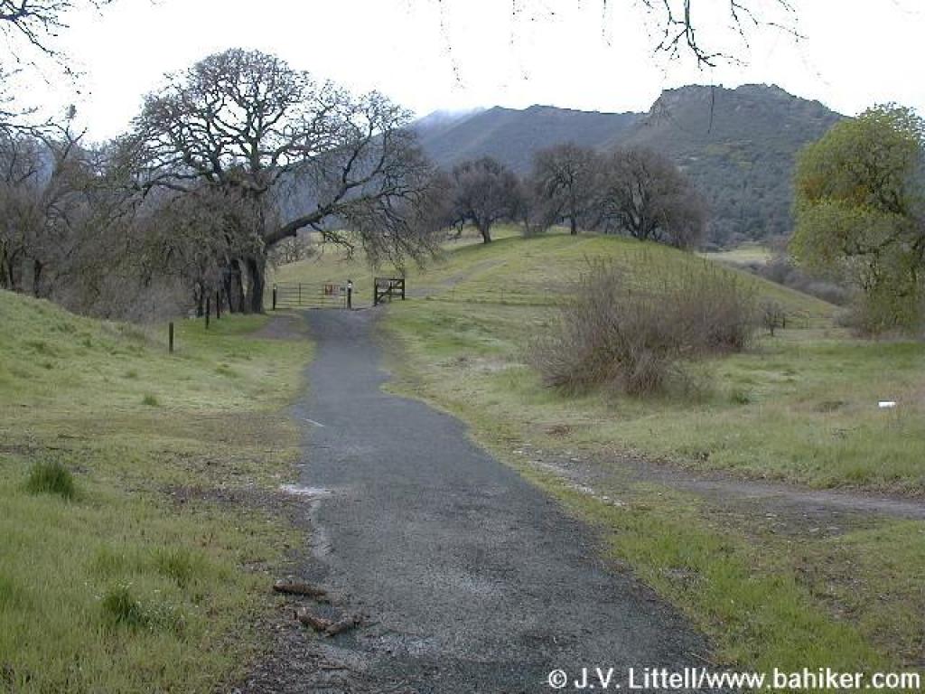 Walking toward the state park |
 Boundary |
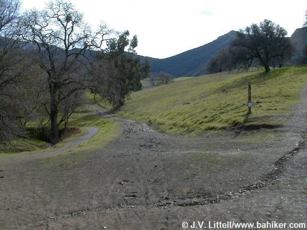 Junction |
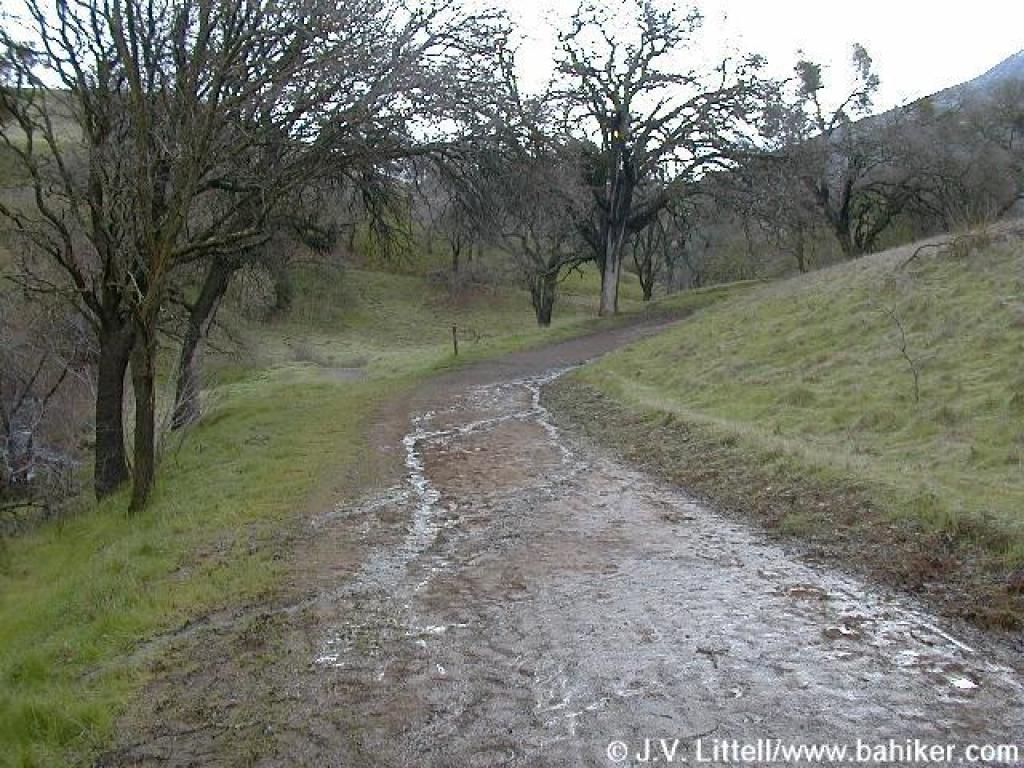
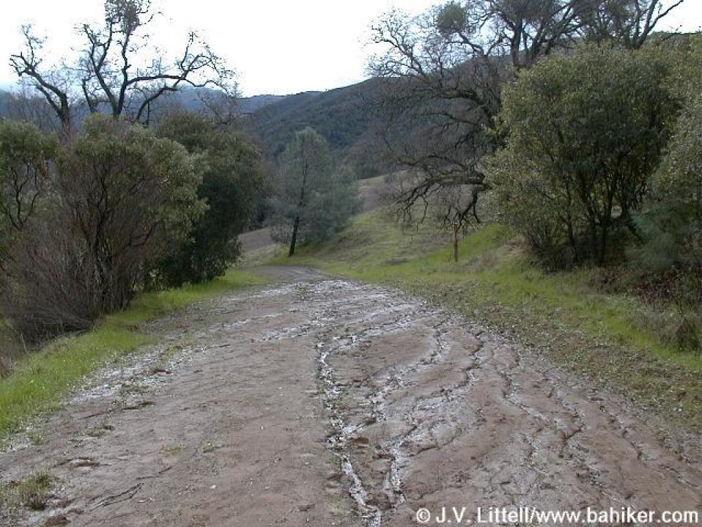
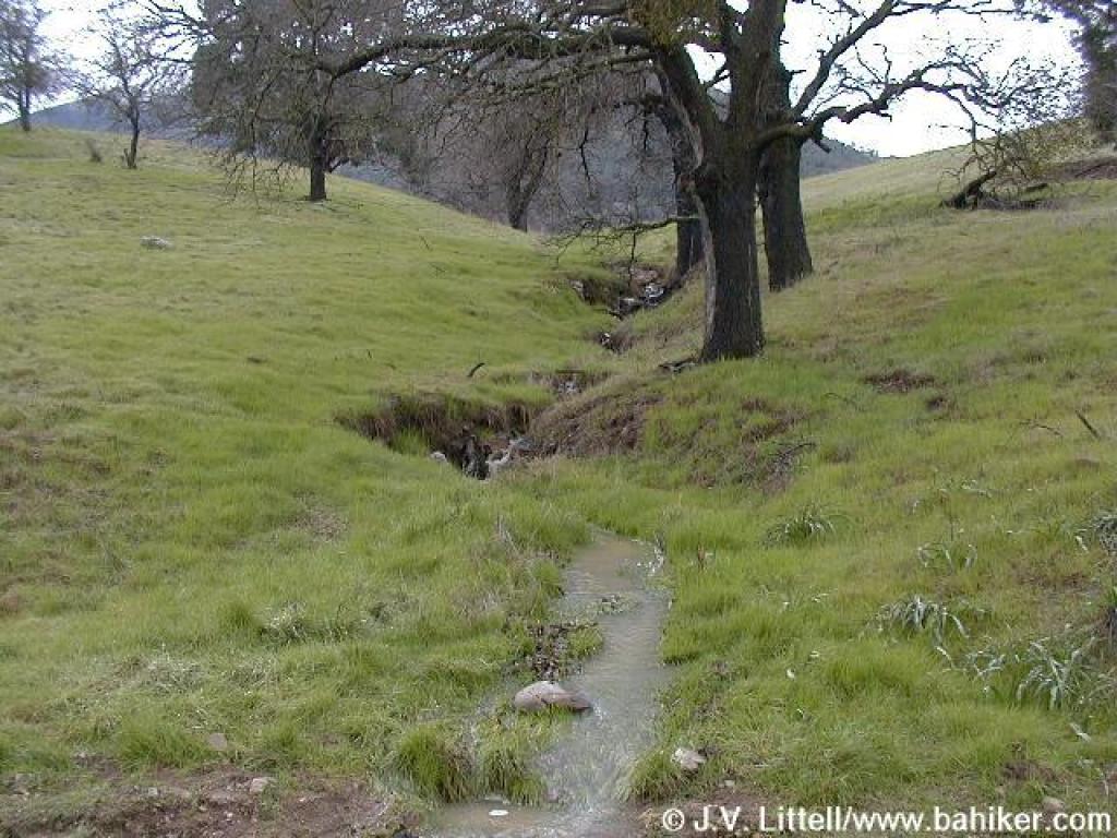 Winter rain runoff |
||||
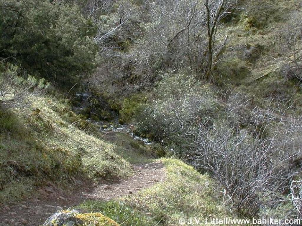
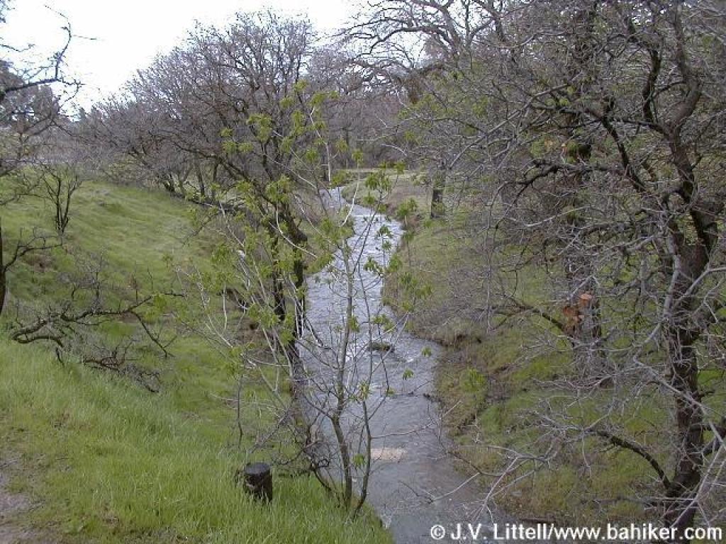 Donner Creek |
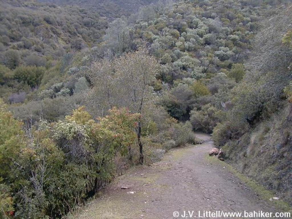
 Donner Canyon Road |
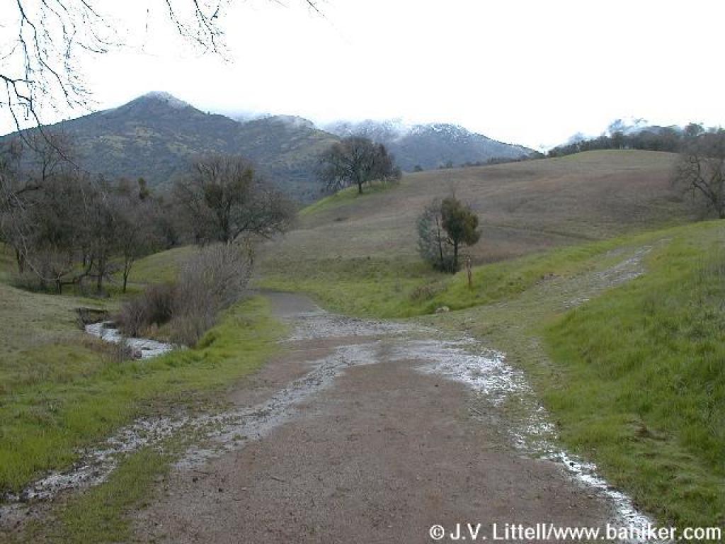 Approaching junction |
 Approaching junction |
||||
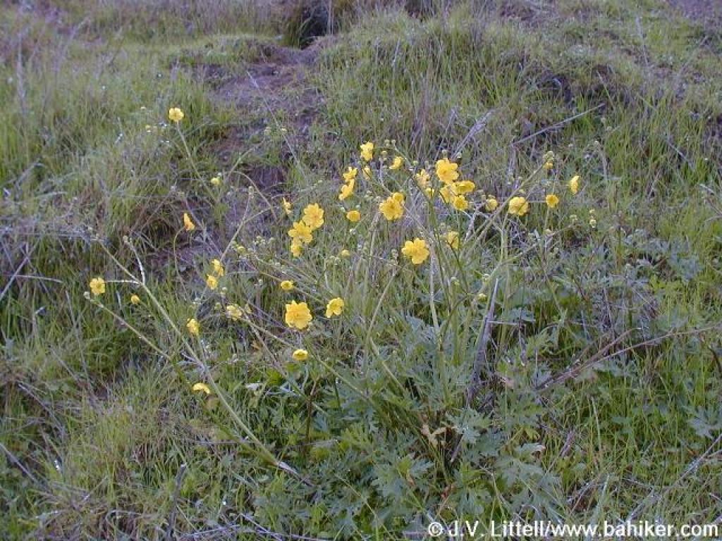 Buttercups |
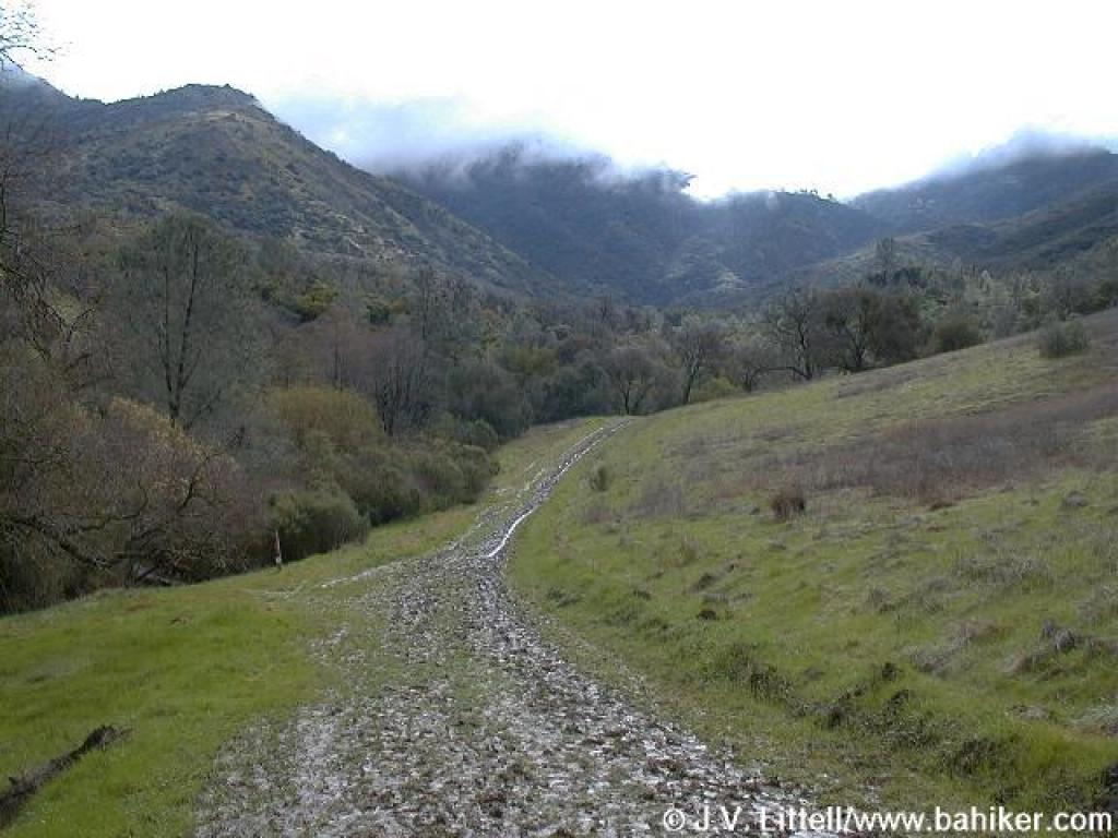
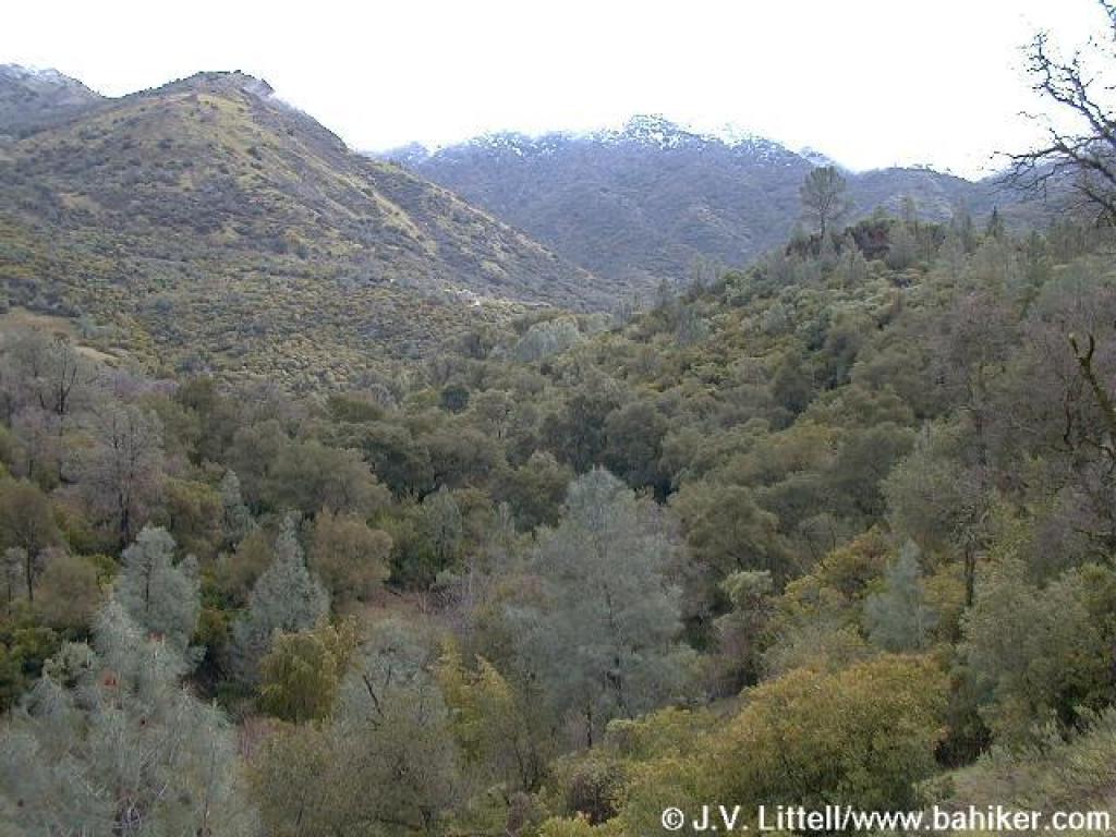
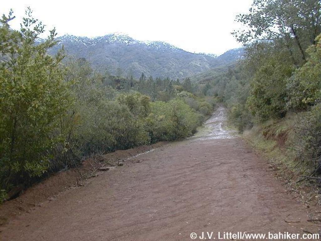
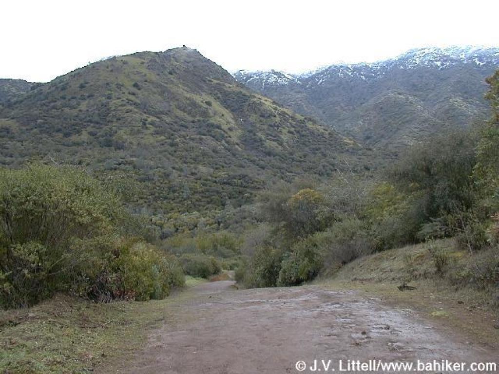
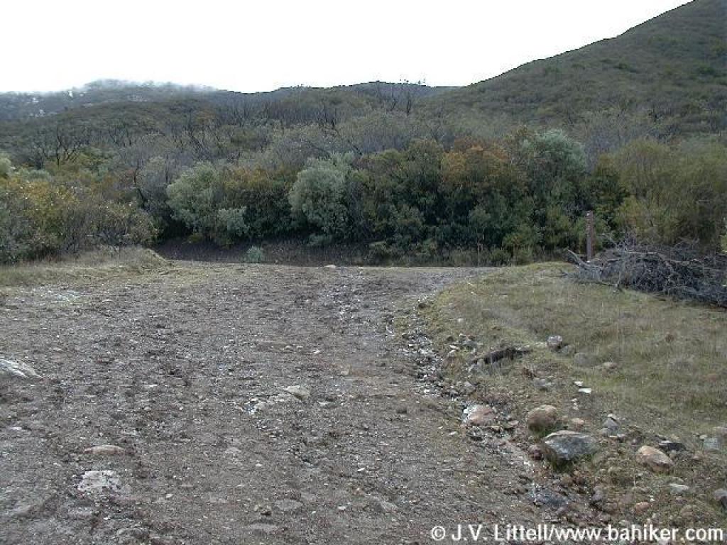
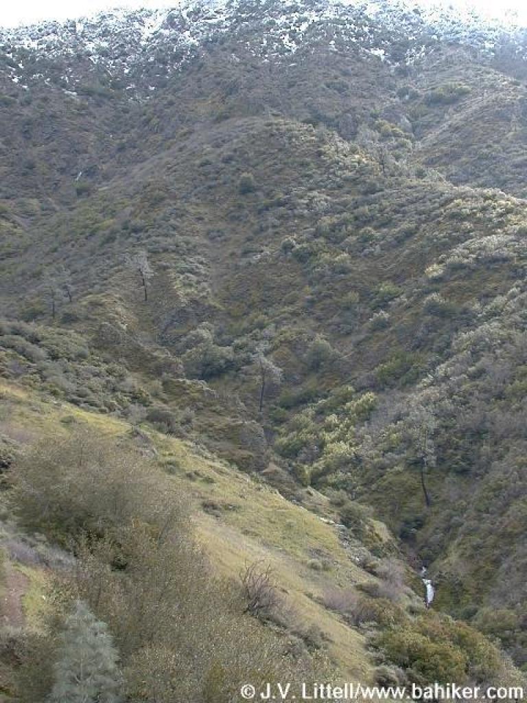
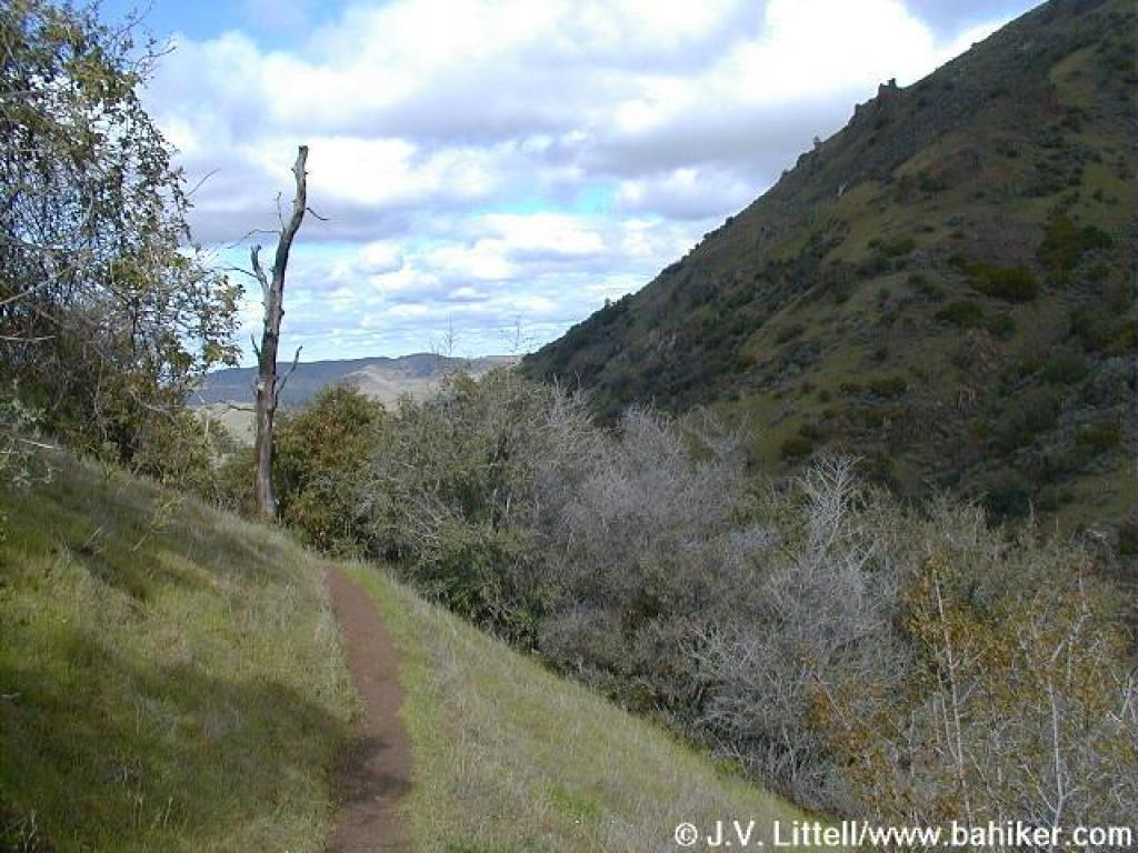
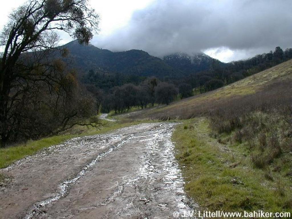 Snow was visible, although the peaks were obscured by clouds |
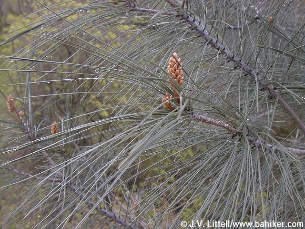 A pine |
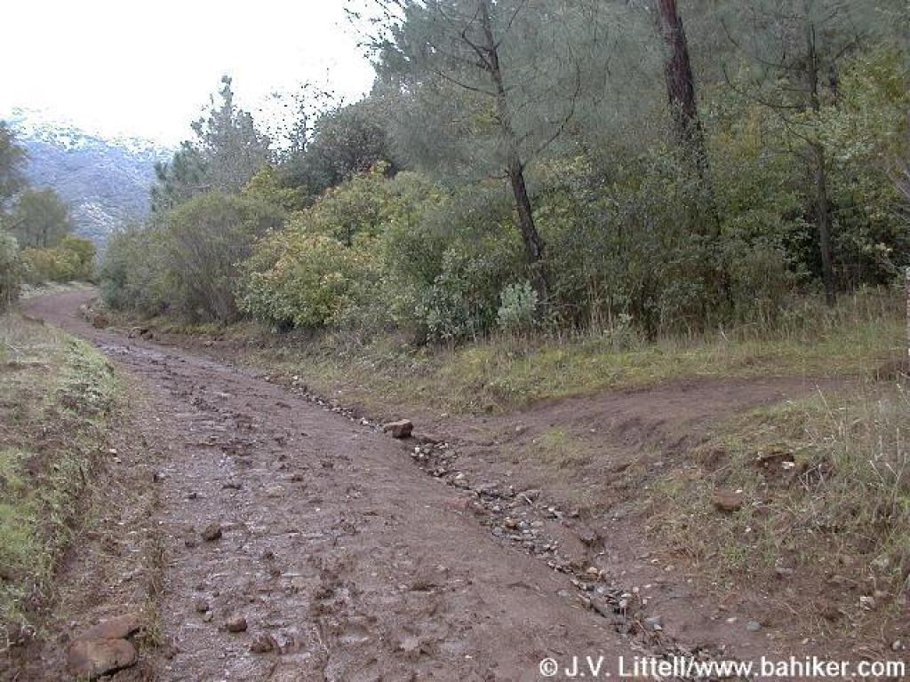
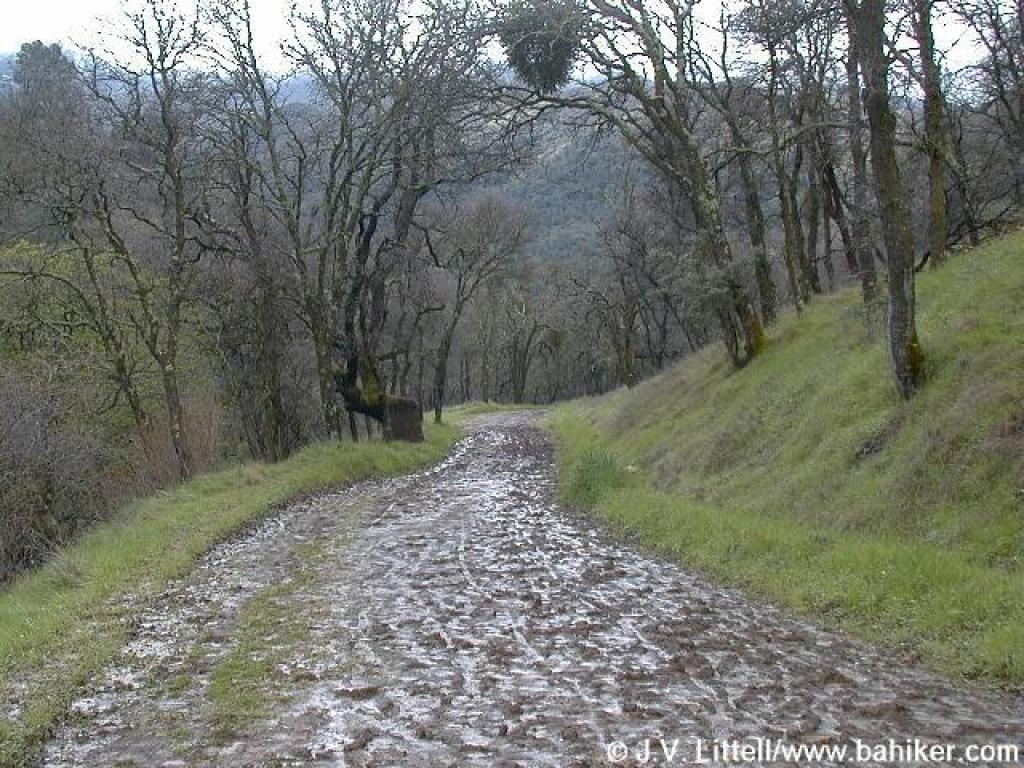 Muddy |
||||
 Coast live oak |
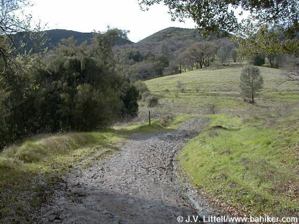 Junction |
 Junction |
 Junction |
||||
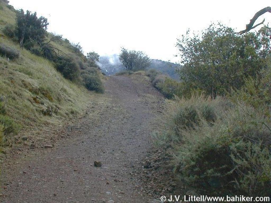
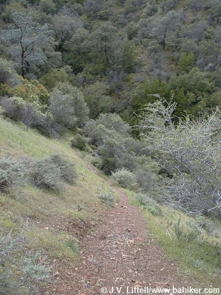
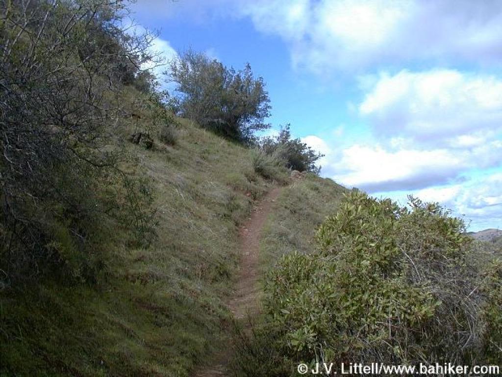
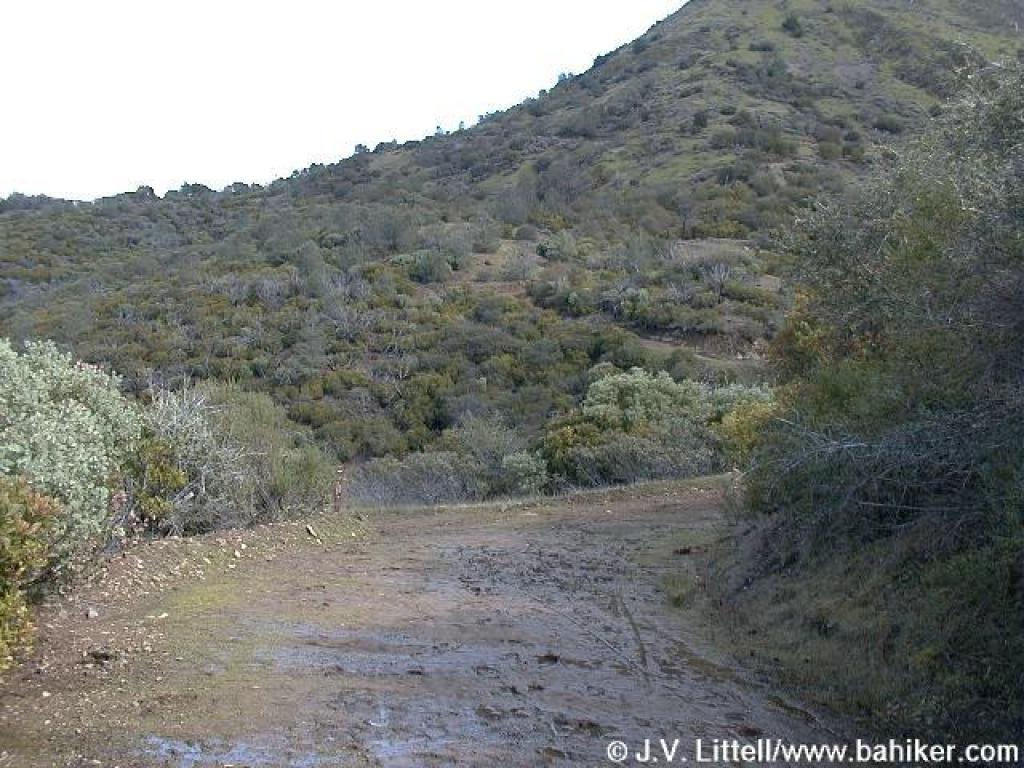
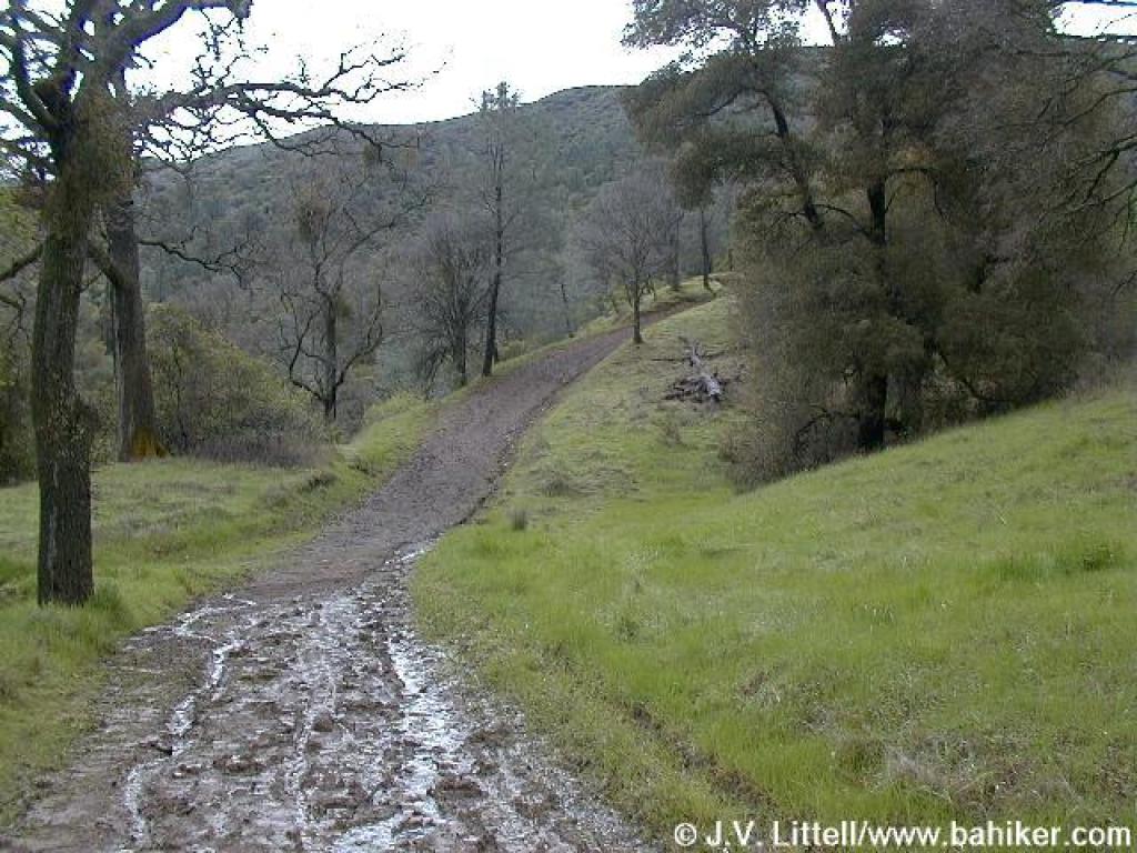 Muddy and steep |
 View uphill toward North Peak |
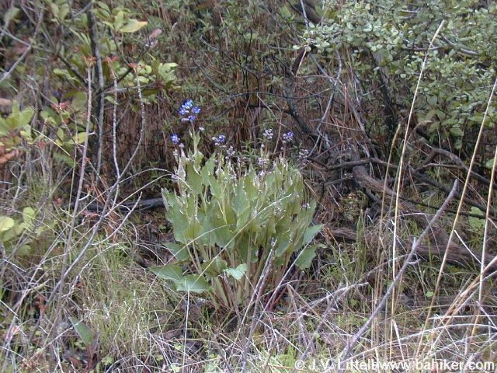 Hound's tongue |
 Ceanothus |
||||
 Flat stretch |
 Flowering currant |
 Toyon |
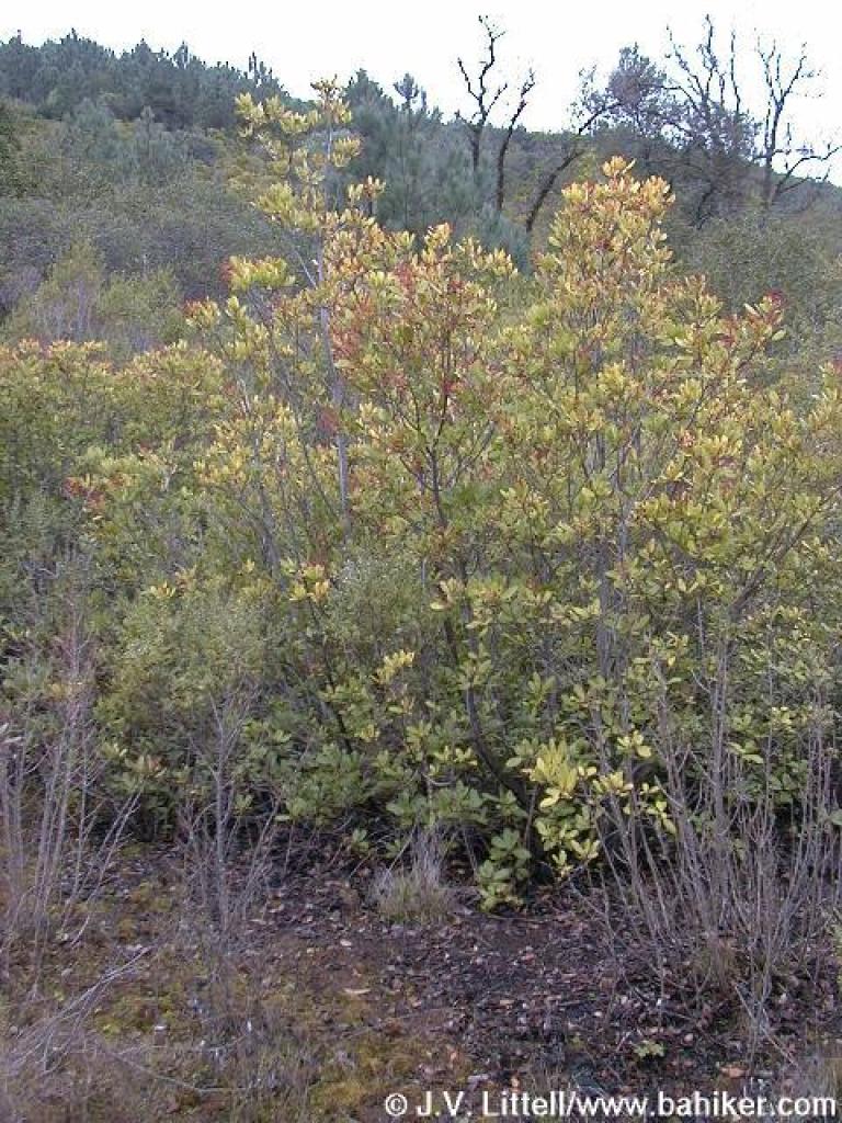
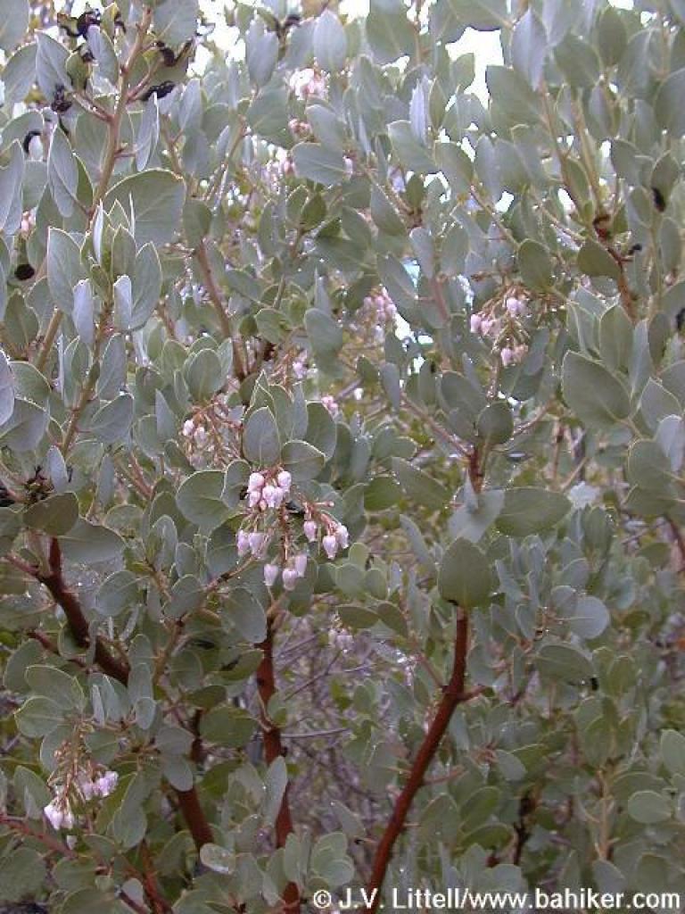 Manzanita |
||||
 Junction |
 Short descent |
 Junction |
 Up |
||||
 Junction; turn left |
 Cardinet Oaks Road |
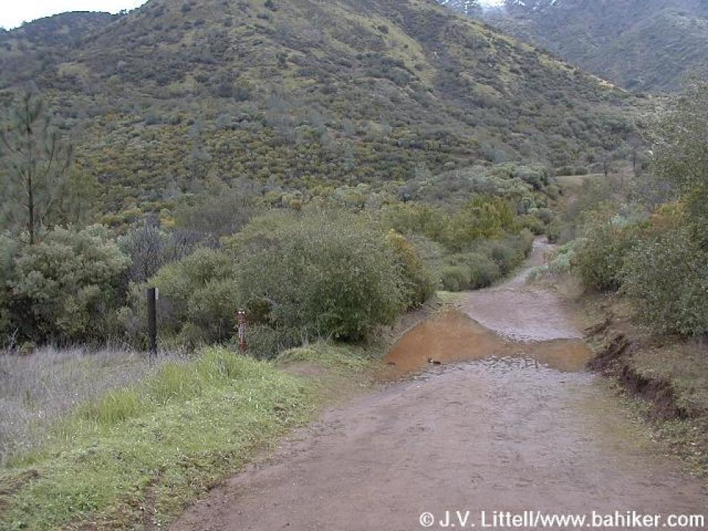
 Crossing Donner Creek |
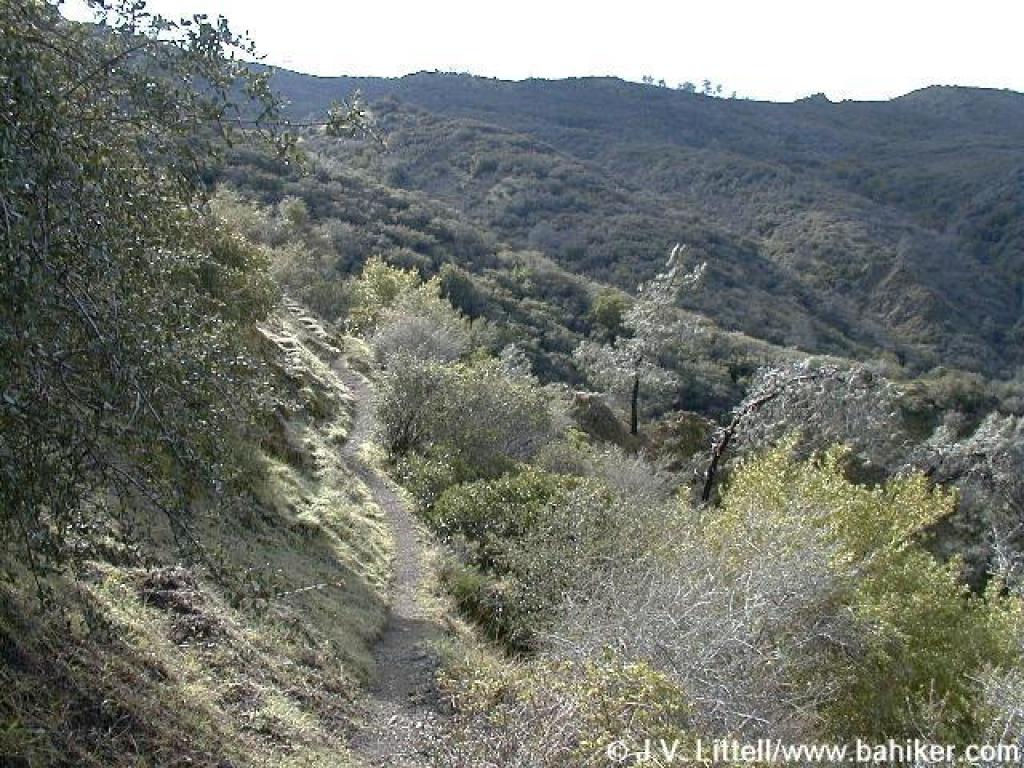
 View back to the north |
||||
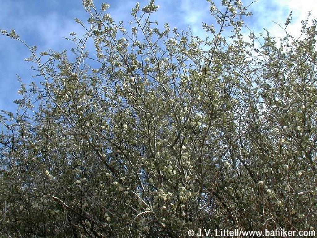 Ceanothus |
 Steep |
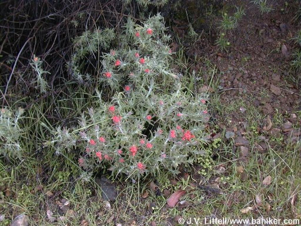 Paintbrush |
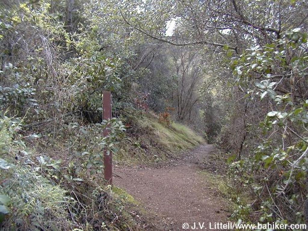
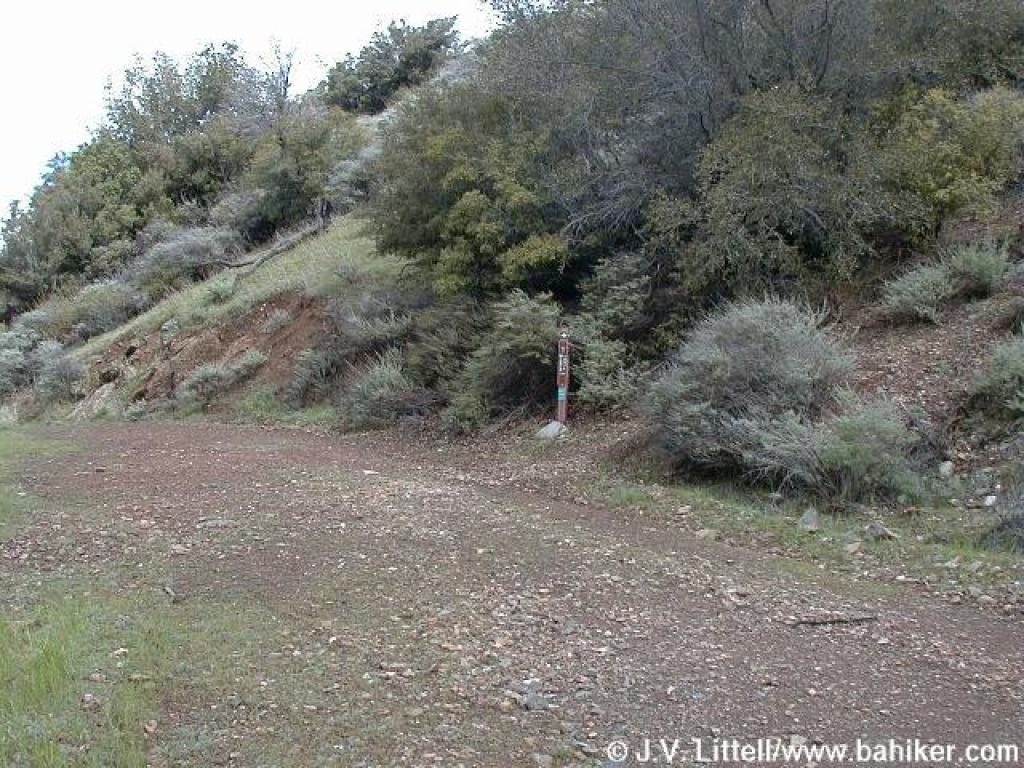 Junction with Falls Trail; turn right |
||||
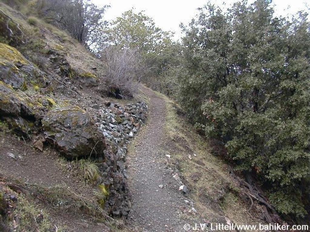
 Falls Trail |
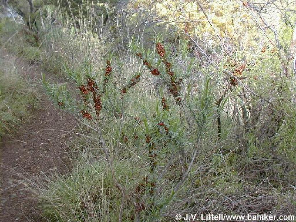
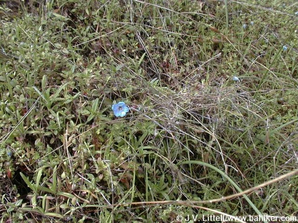
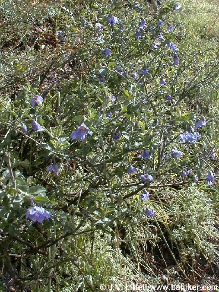 Blue witch |
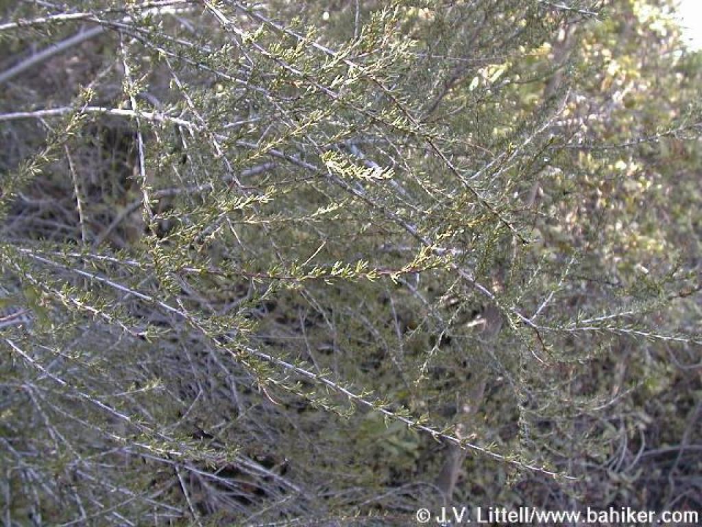
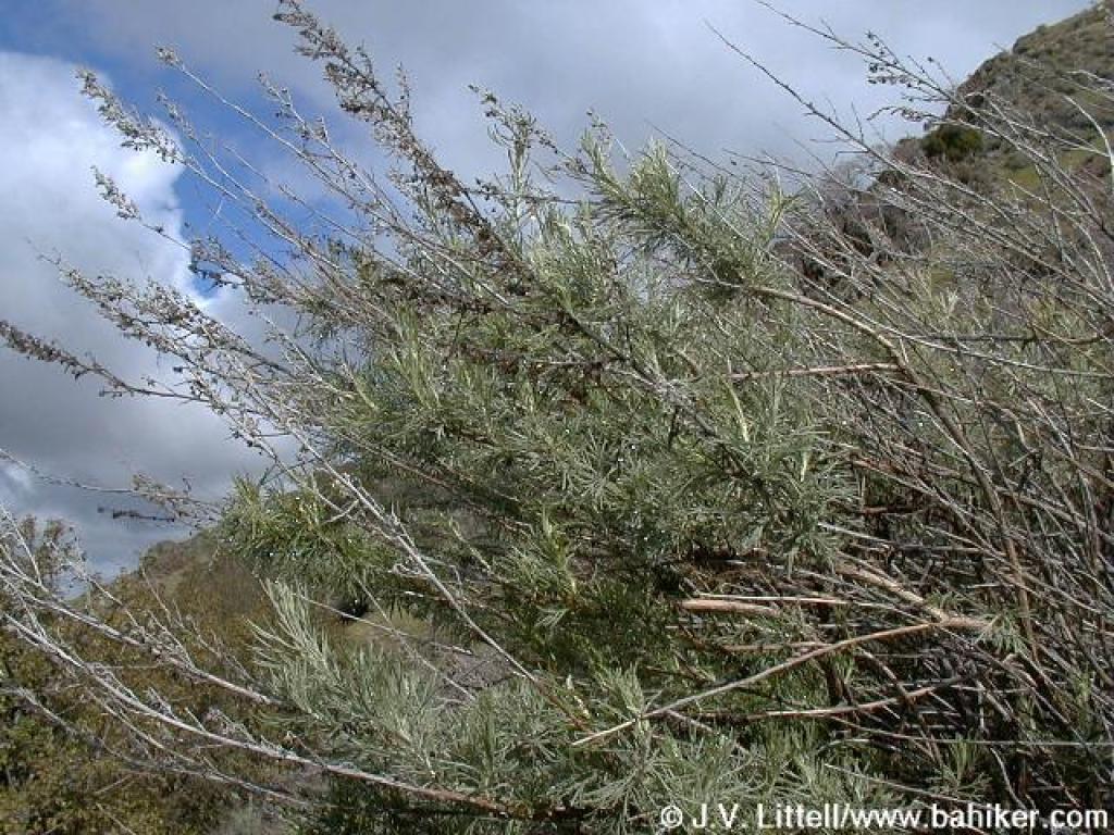 Sagebrush |
 Poison oak |
||||
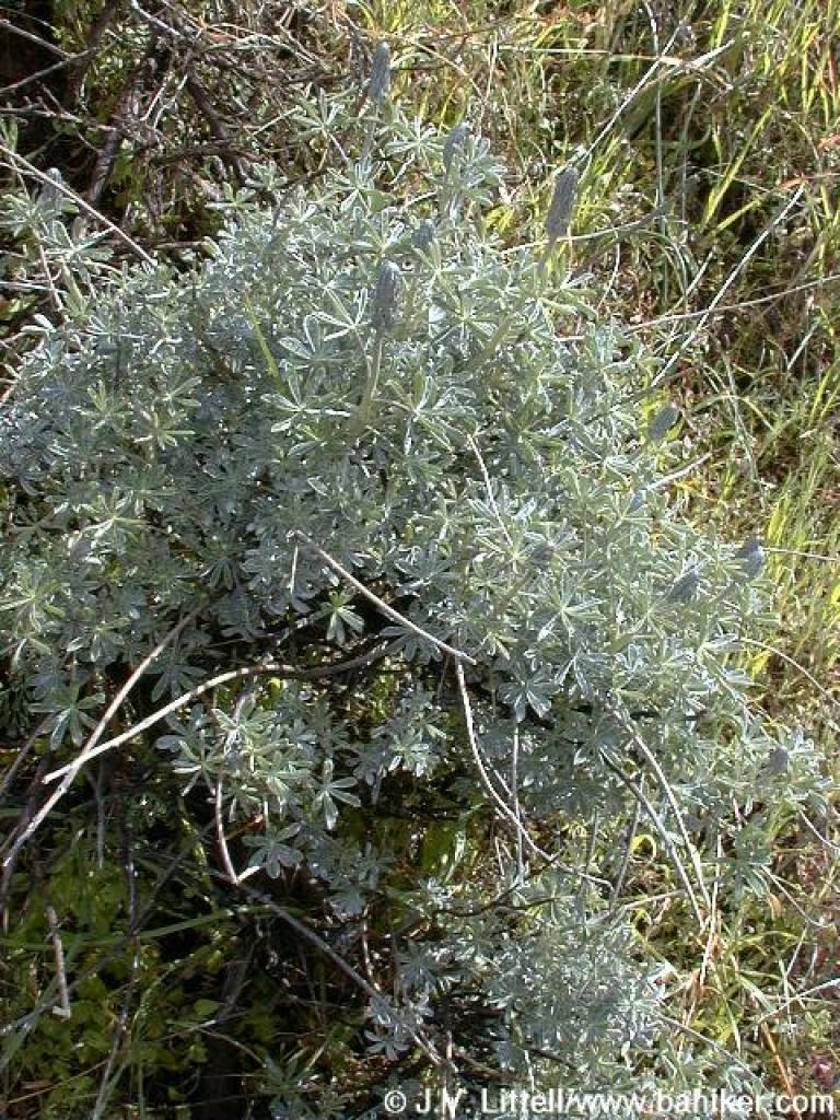 Lupine |
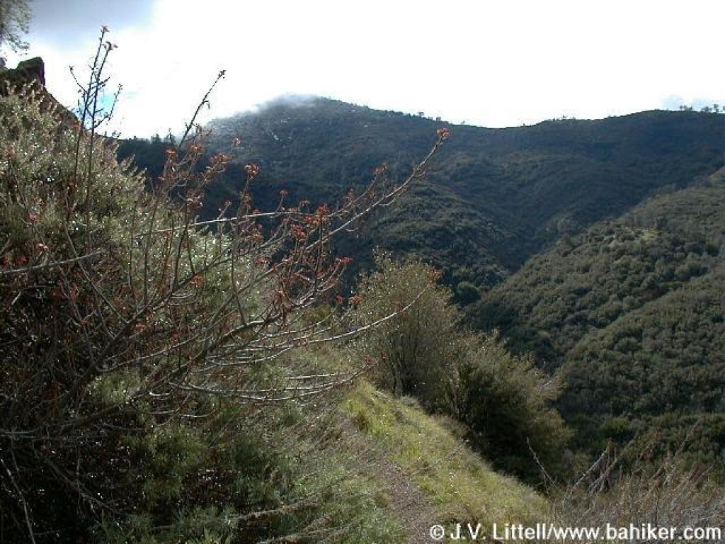
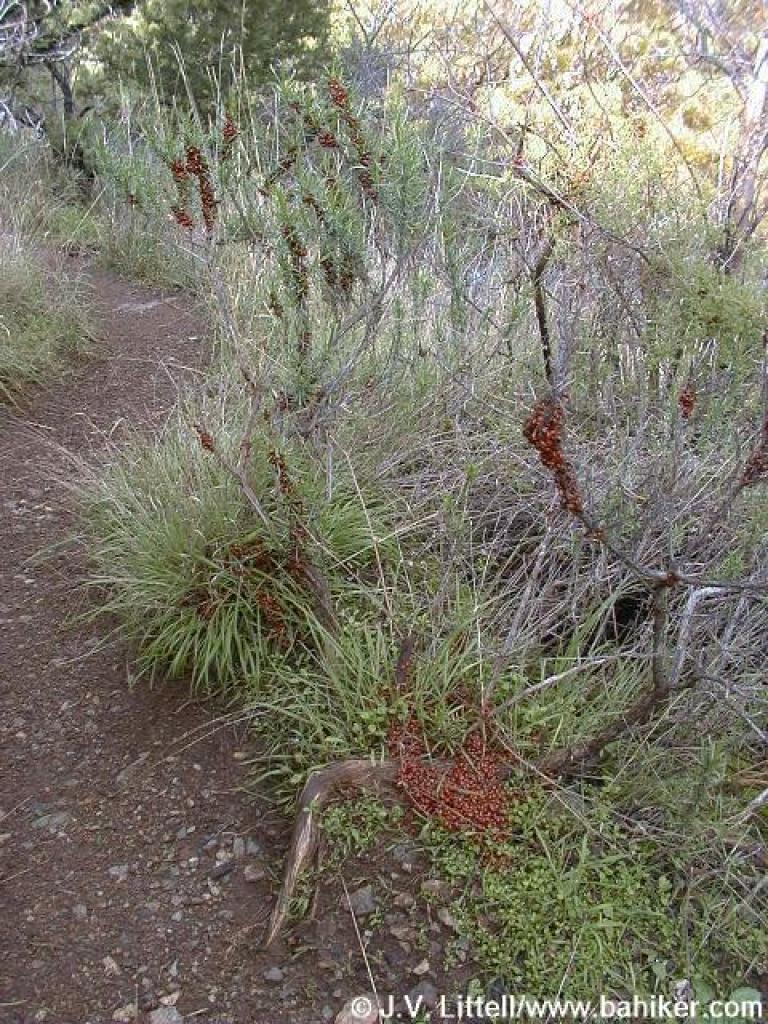
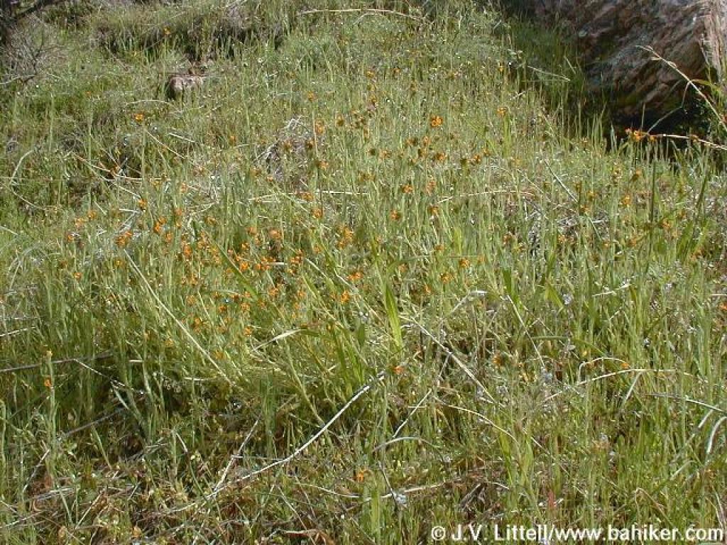 Pre-spring blooms; they look like miniature fiddlenecks |
 Tiny white flowers |
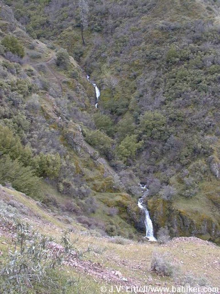
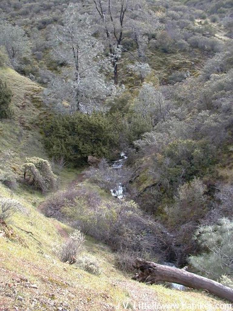
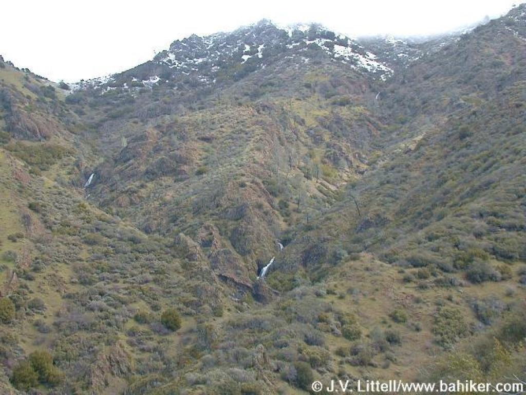
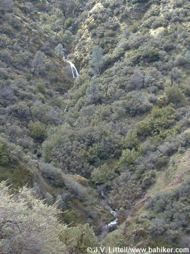 Falls across the canyon |
||||
 Falls Trail |
 Waterfall and snow |
 Falls |
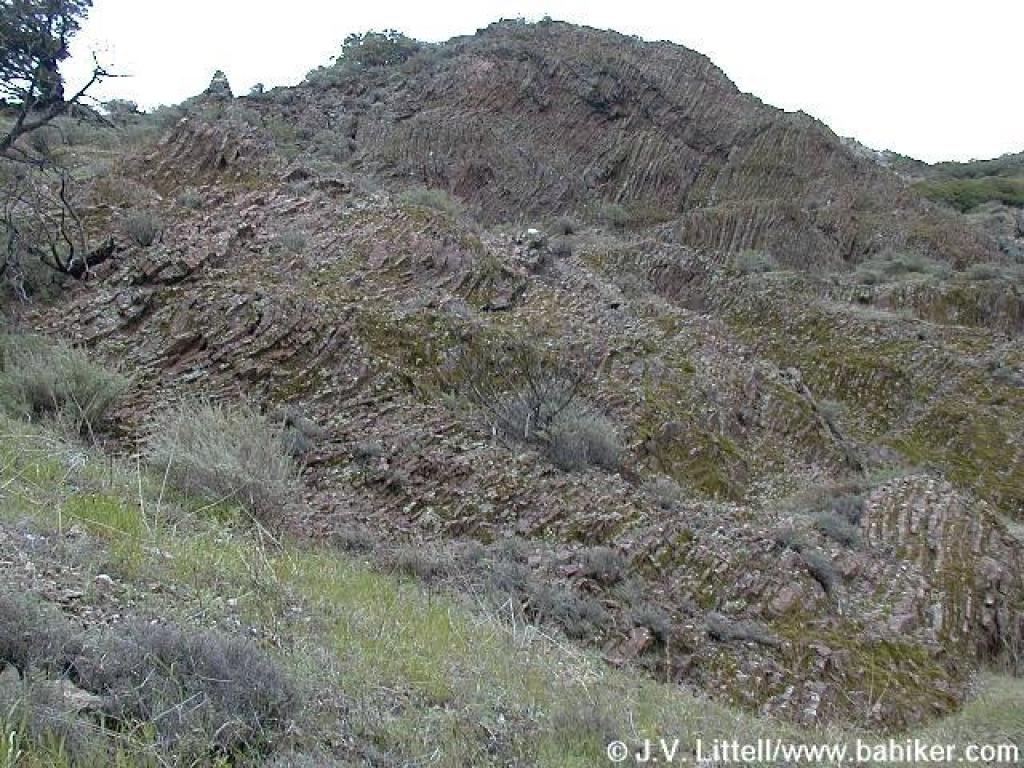 Rock formation |
||||
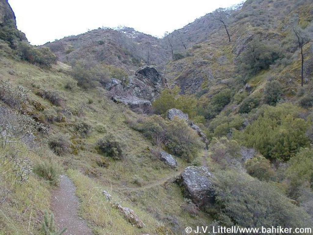 Falls Trail |
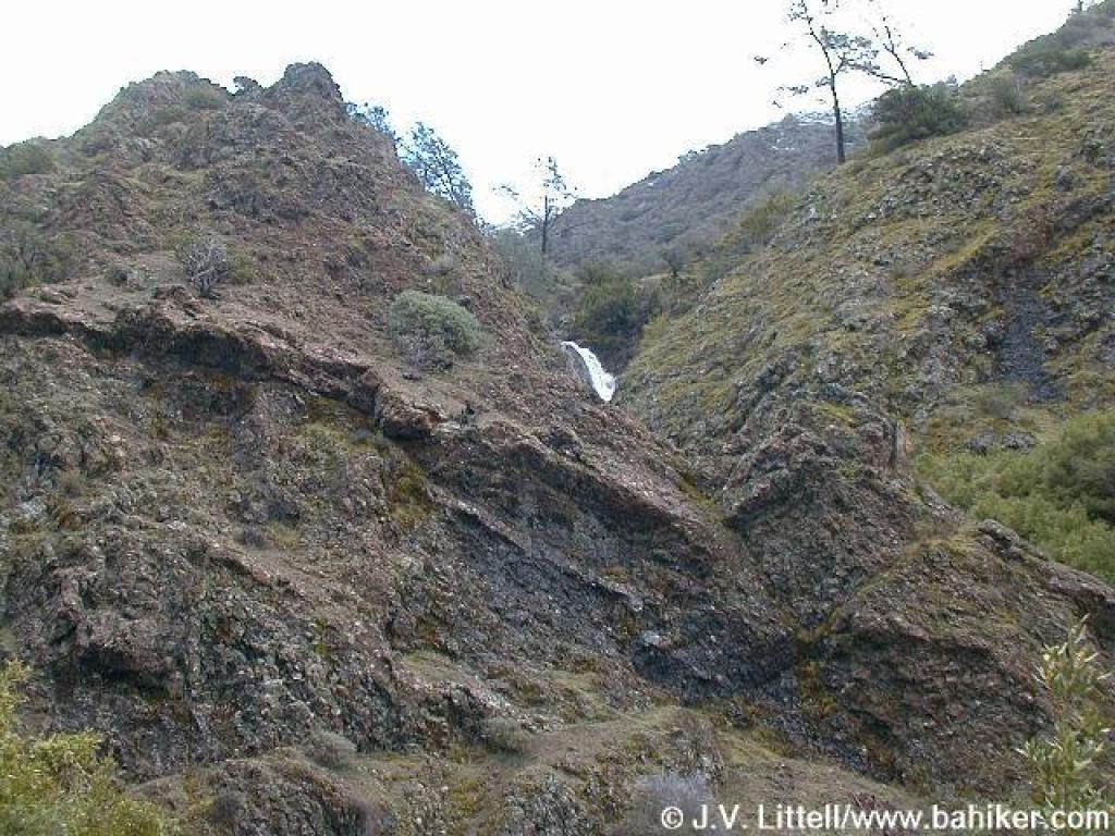 Falls |
 Crossing a feeder creek |
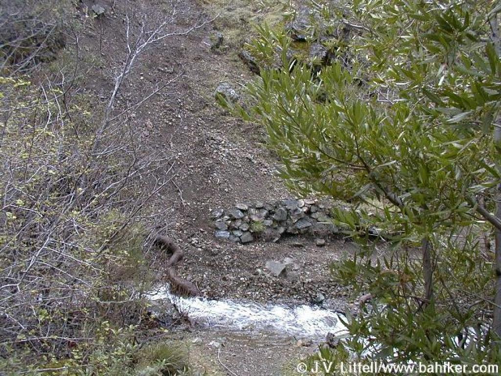 Crossing Donner Creek |
||||
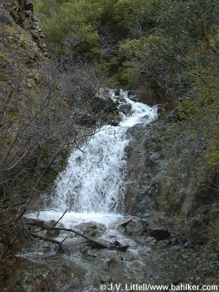 Falls |
 Climb |
 Falls Trail |
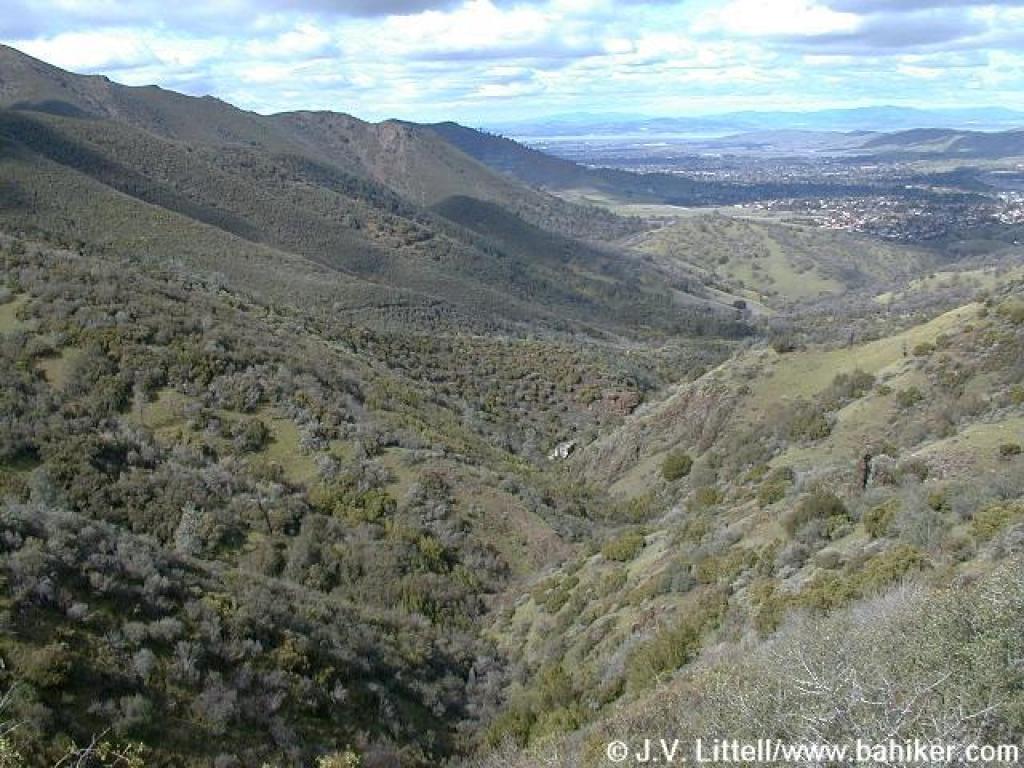 View back to the north |
||||
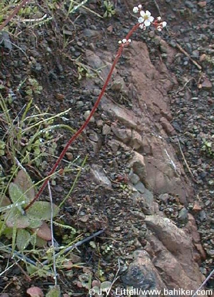 Saxifrage |
 Descending to creek |
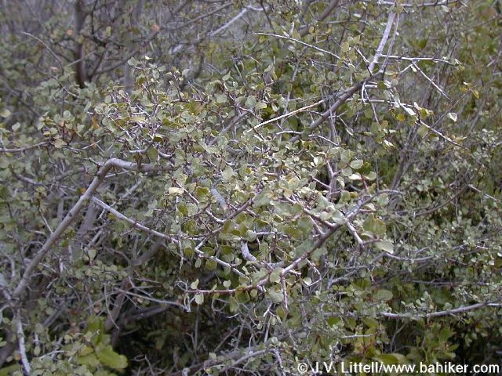
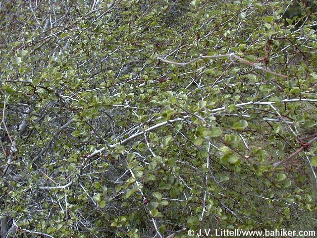 Cercocarpus |
 Creek crossing |
||||
 One of the nicest viewpoints of the falls |
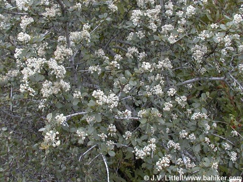 Blooming ceanothus |
 Descending to creek |
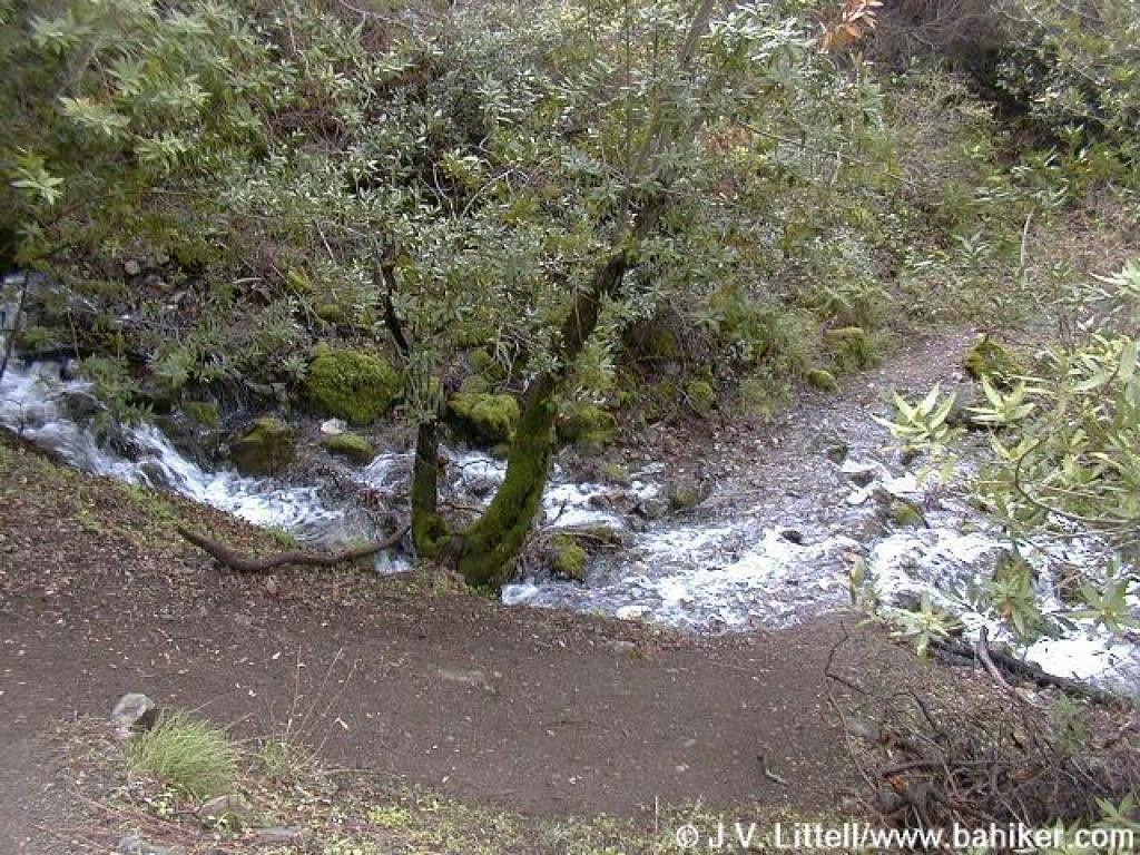 Creek crossing |
||||
 Ladybugs |
 Ladybugs, taking their winter sabbatical |
 Sunny spot |
 Falls Trail |
||||
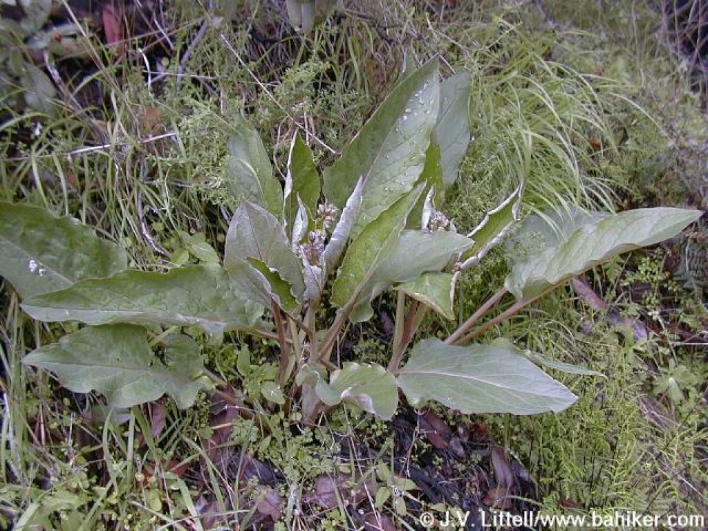 Hound's tongue |
 Lil' blue flower |
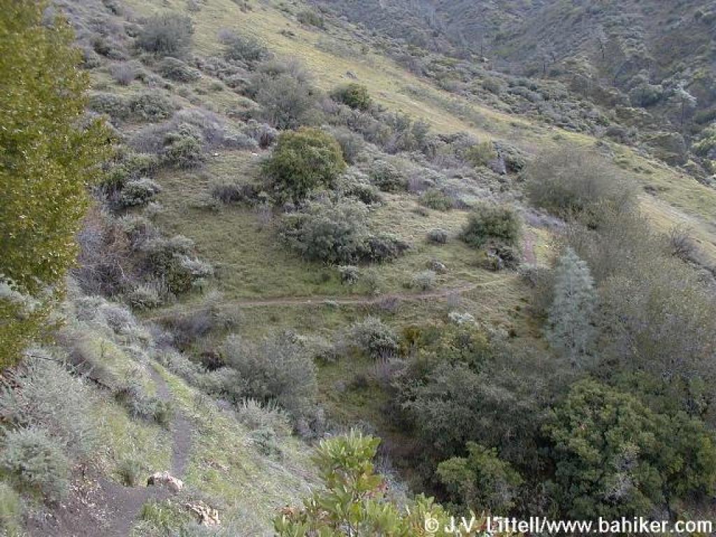
 Leaving the canyon |
 Junction; bear right |
||||
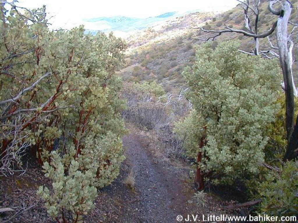 Manzanitas line the trail |
 A view back to the falls |
 Middle Trail |
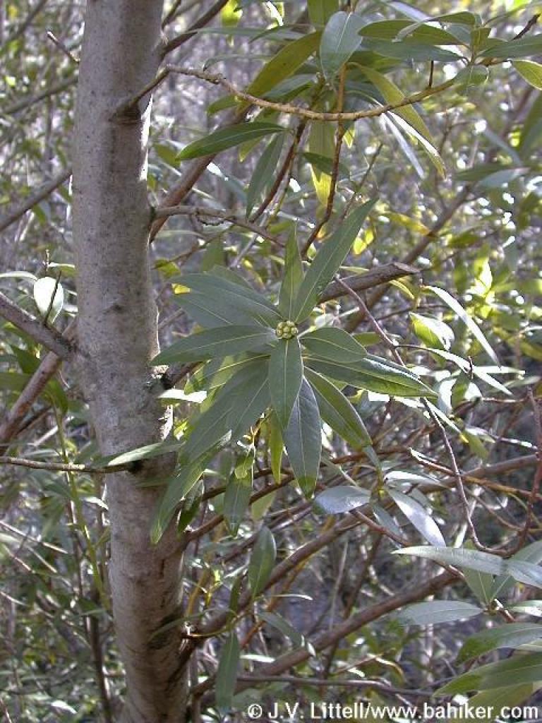 California bay |
||||
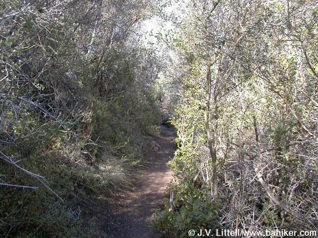 Vegetation crowds the trail |
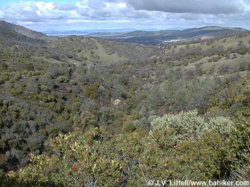
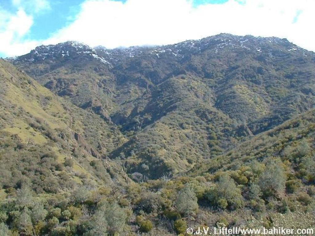 The clouds finally receded, permitting views to the peaks |
 Chamise |
 Middle Trail |
||||
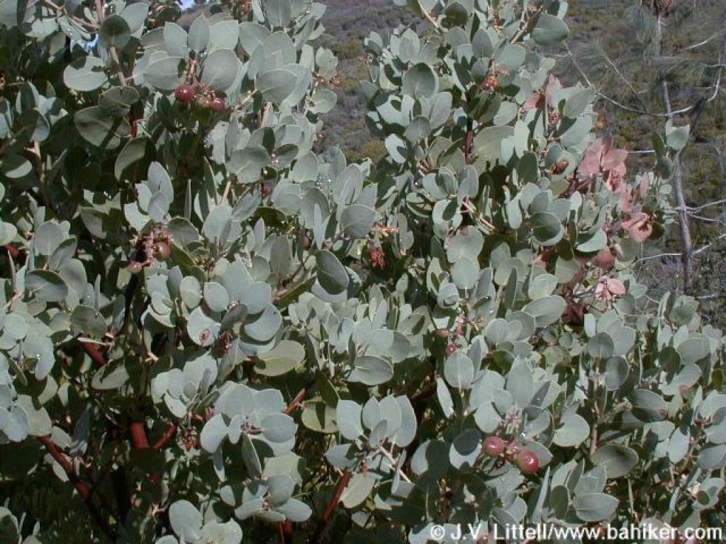 Manzanita |
 Junction; turn right |
 Junction with Donner Canyon Road; turn left and retrace your steps |
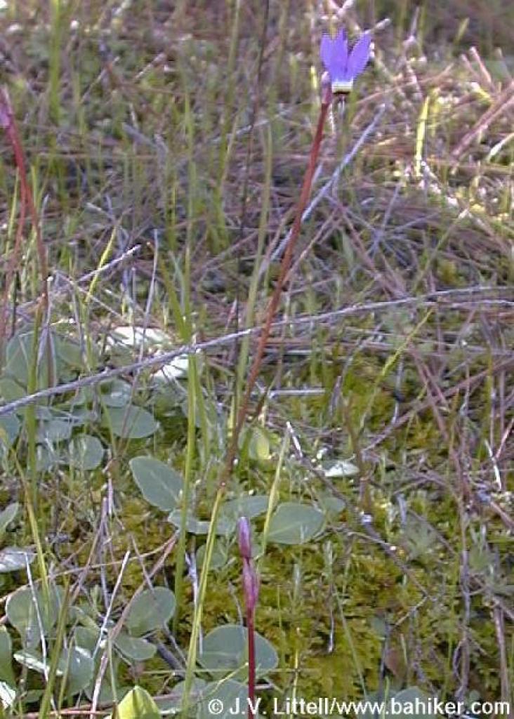 Shooting star |
||||
Go to Bay Area Hiker Donner Canyon and Falls page Go to Bay Area Hiker Home page |
|||||||