| Photos
from a November 2002 hike on Hiddenbrooke Trail (click on any image for a larger view) |
|||||||
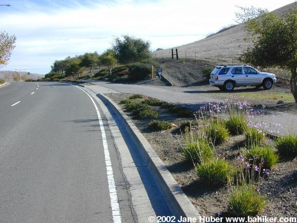 Roadside parking along Hiddenbrooke Parkway |
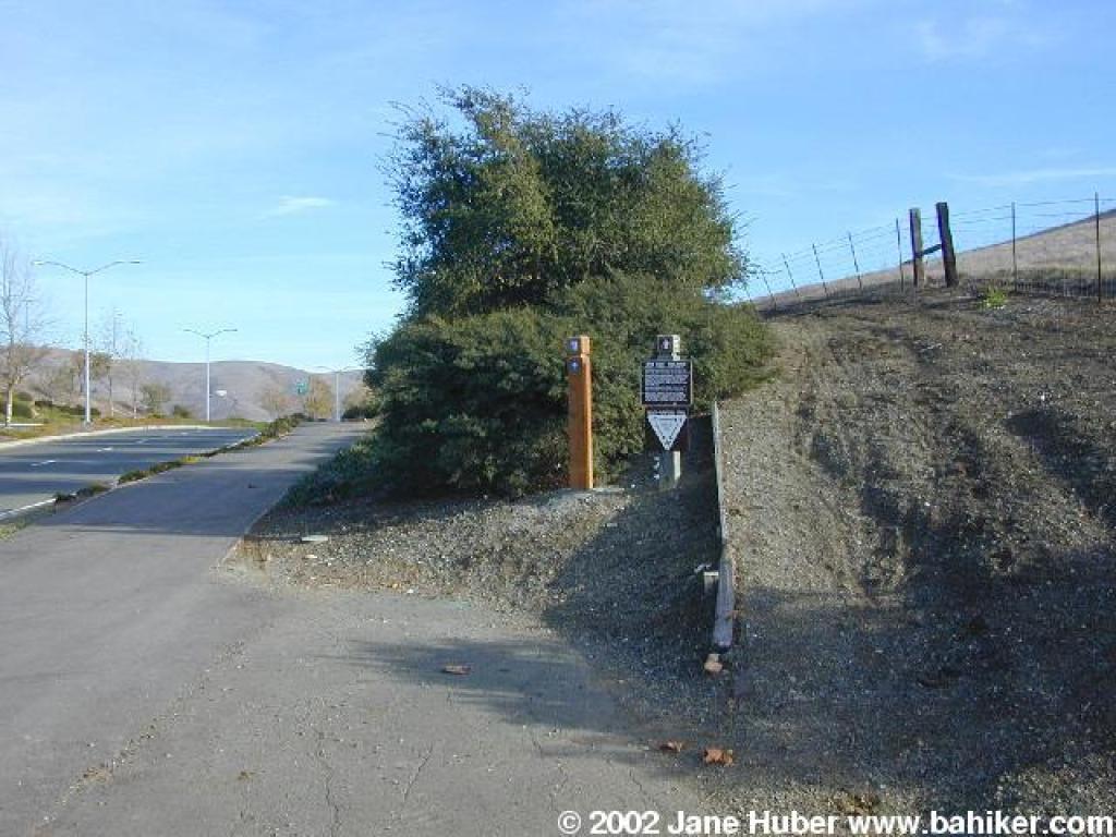 Start of Hiddenbrooke Trail |
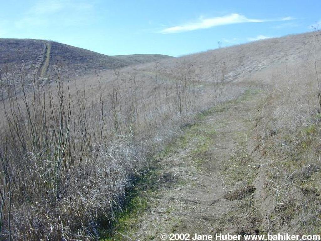
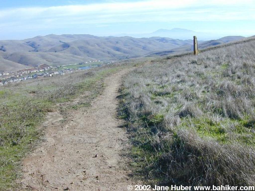
 Along the fenceline |
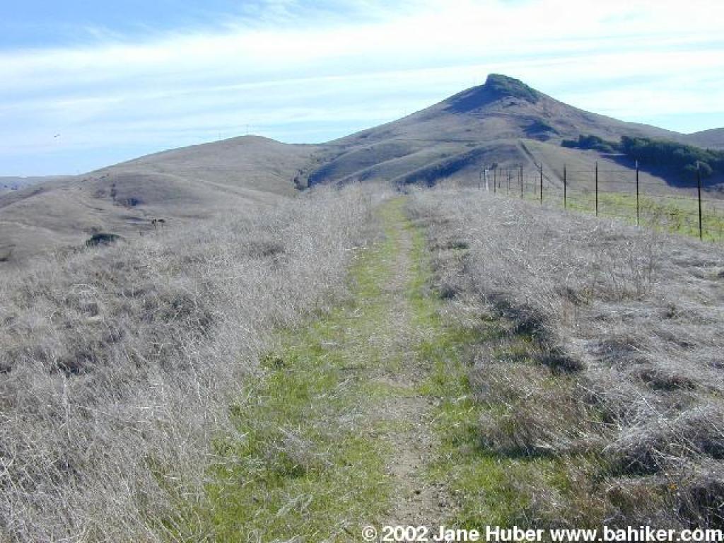
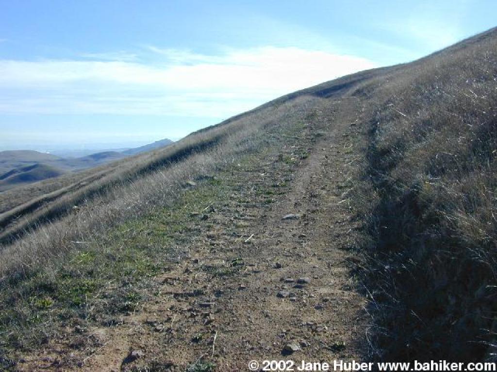
 Climbing |
||||
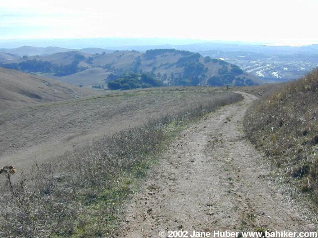
 Ascent is visible ahead |
 Crest |
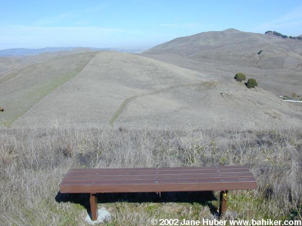 Bench and view |
 Beginning a descent |
||||
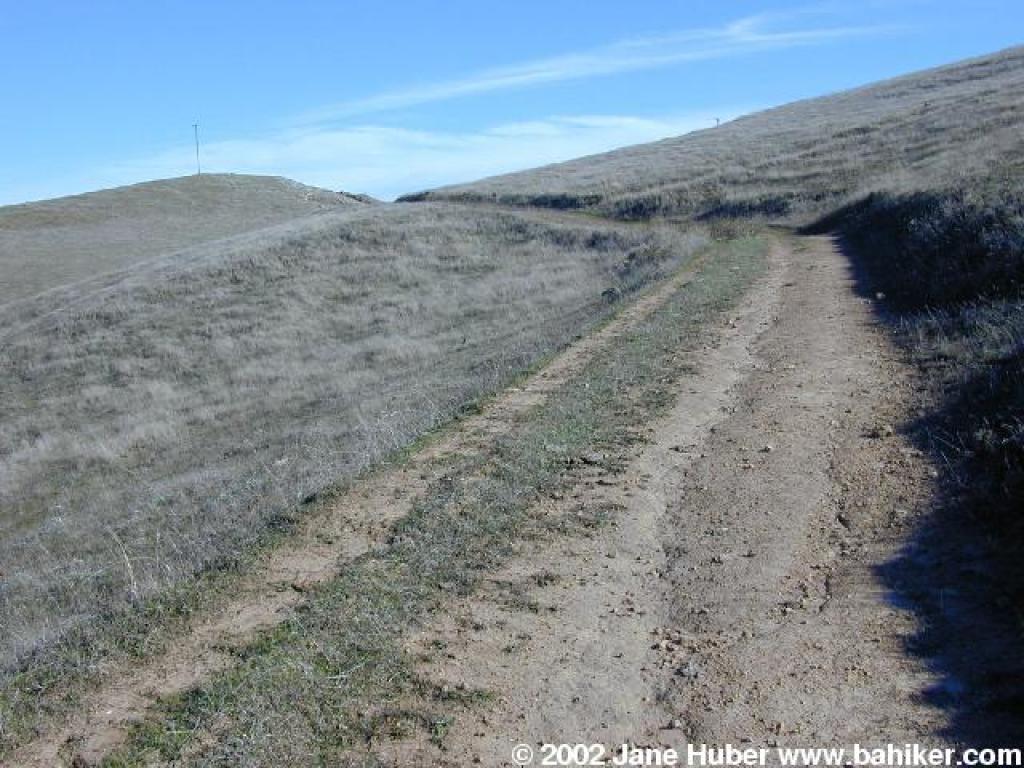
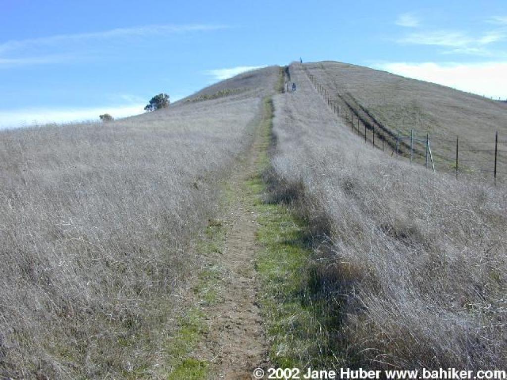 Straight uphill stretch |
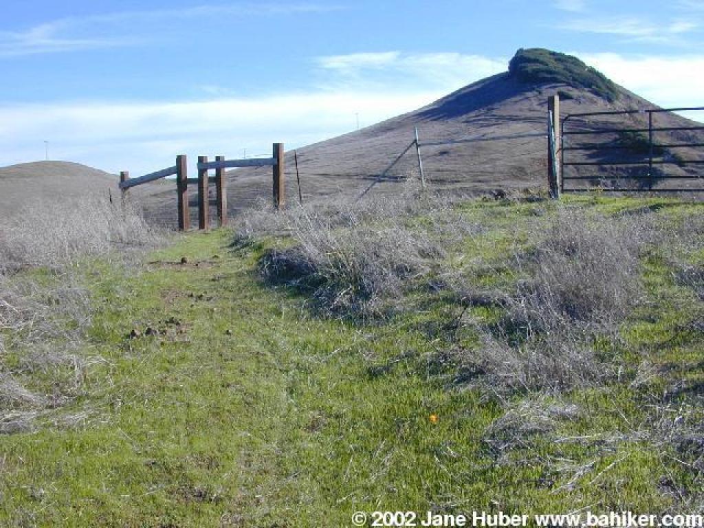 Cattle gate |
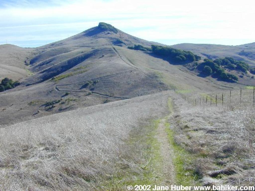
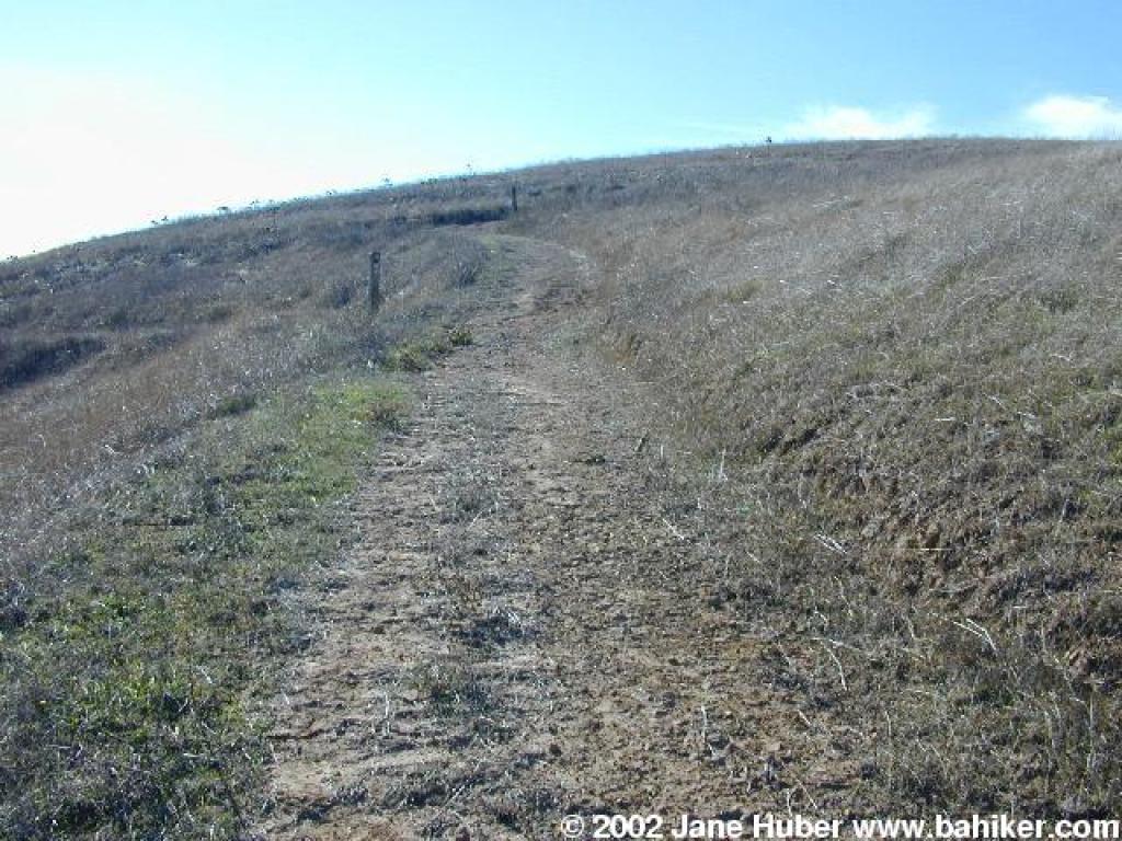
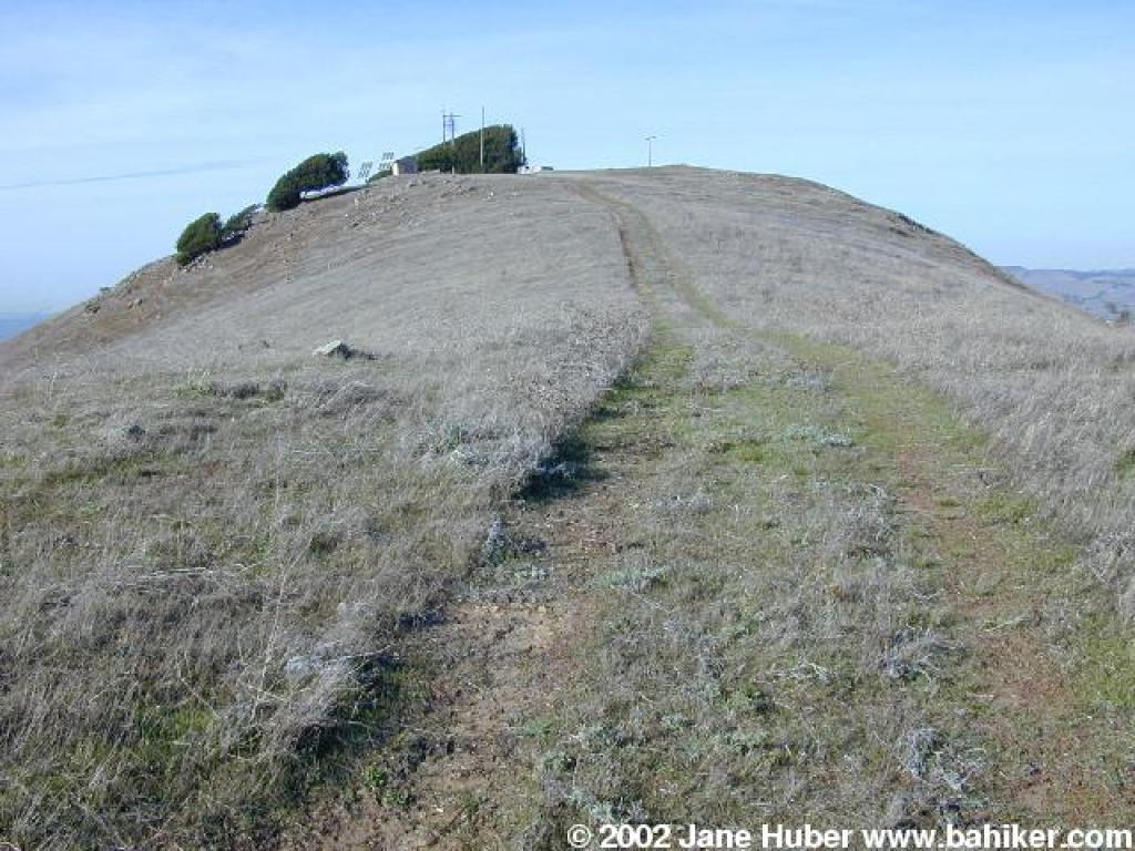
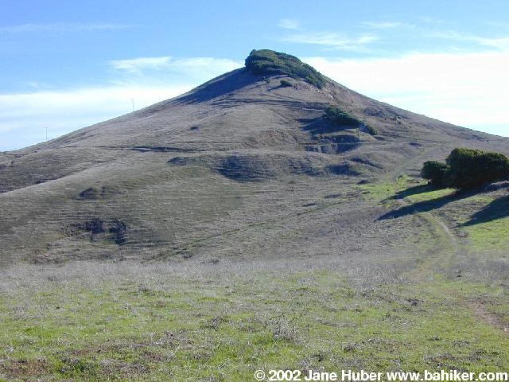 Trail heads for the hilltop |
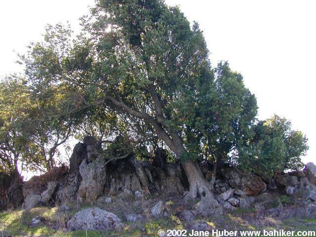 Rocks and California bays |
||||
 Climbing again |
 Grassland |
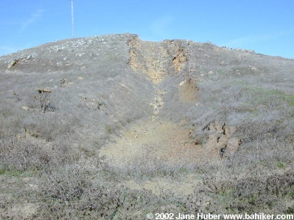 Gash in the hillside |
 Junction |
||||
 Climbing |
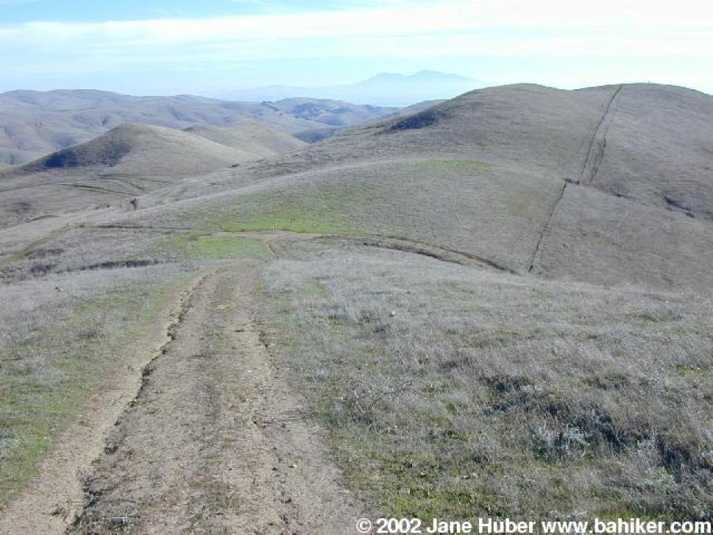
 Downhill |
 Approaching junction |
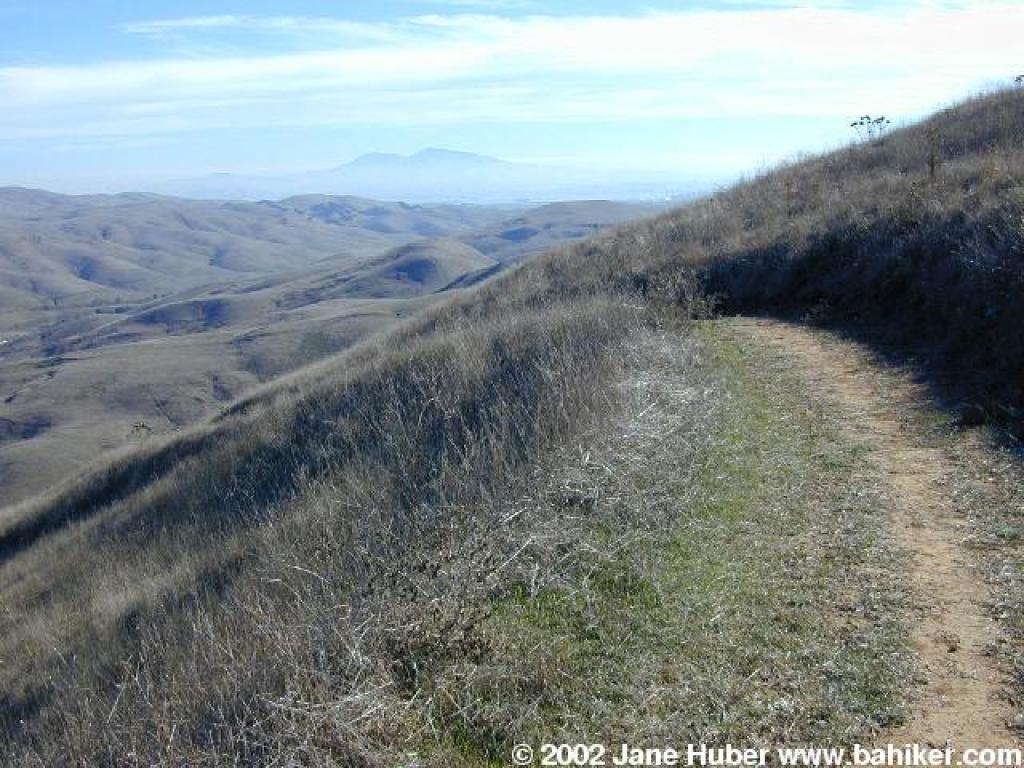
 Descent, with view south to Benicia |
||||
 Downhill |
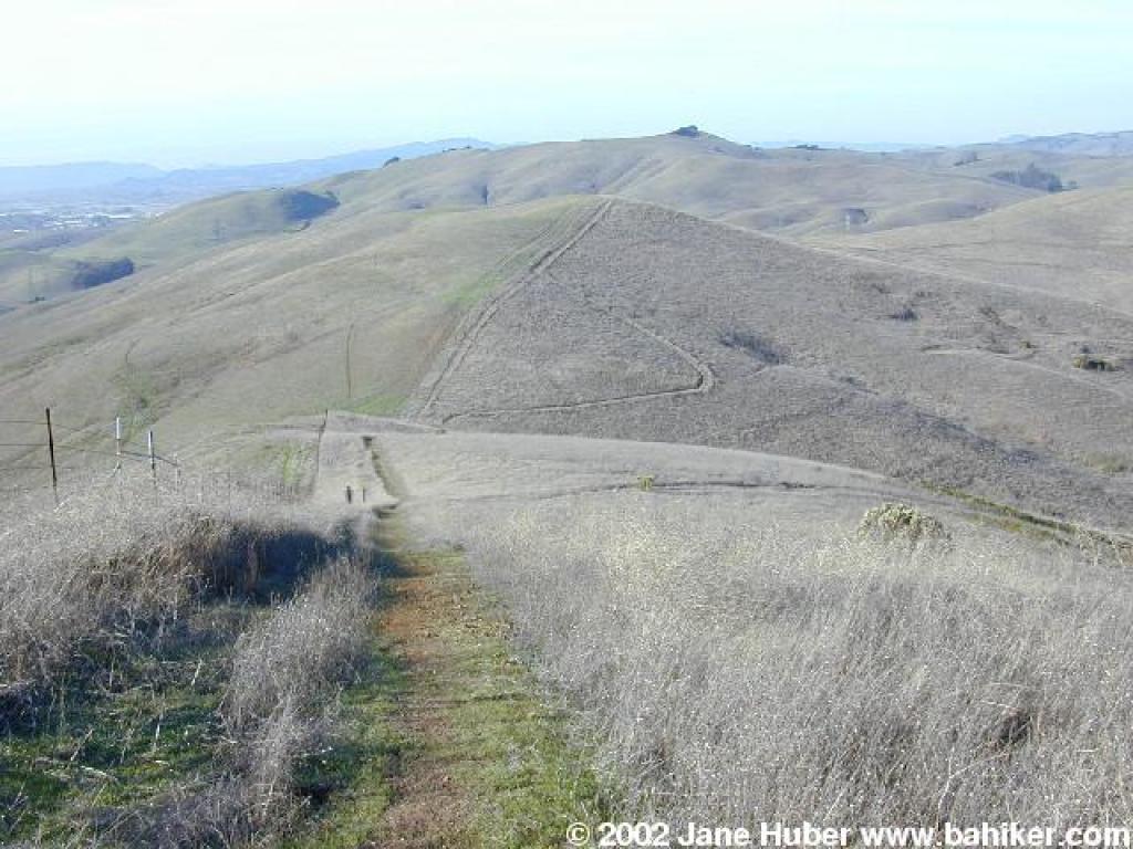
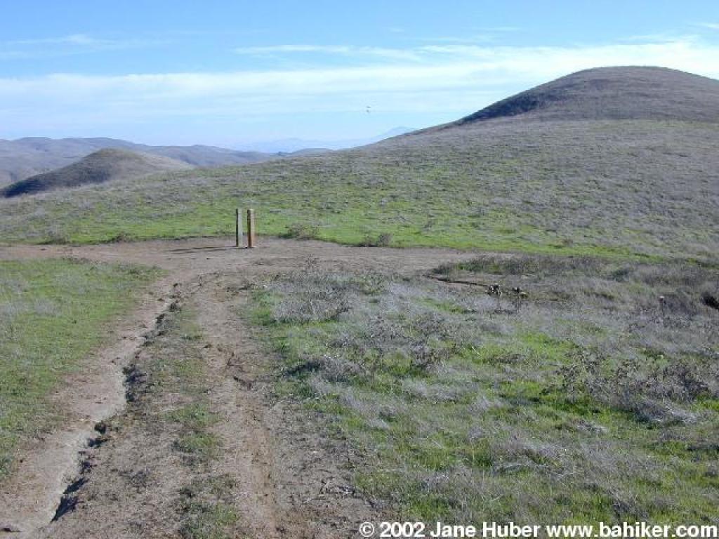 Junction, and turn-around point |
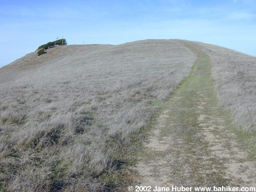 Ascending to the hilltop |
 Climbing |
||||
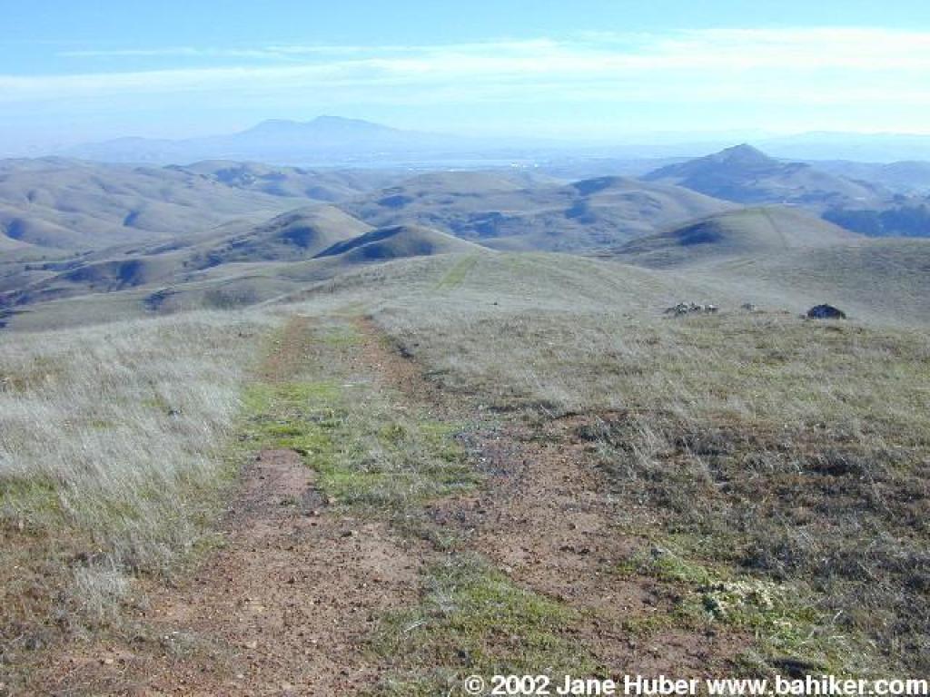 Returning downhill, with a view southeast to Mount Diablo |
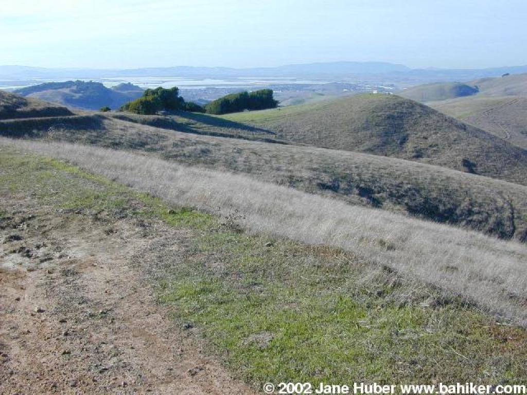 View west |
 Returning |
Go to Bay Area Hiker Hiddenbrooke Trail page Go to Bay Area Hiker Home page |
||||