| Photos
from a November 2001 hike at Joaquin Miller Park (click on any image for a larger view) |
|||||||
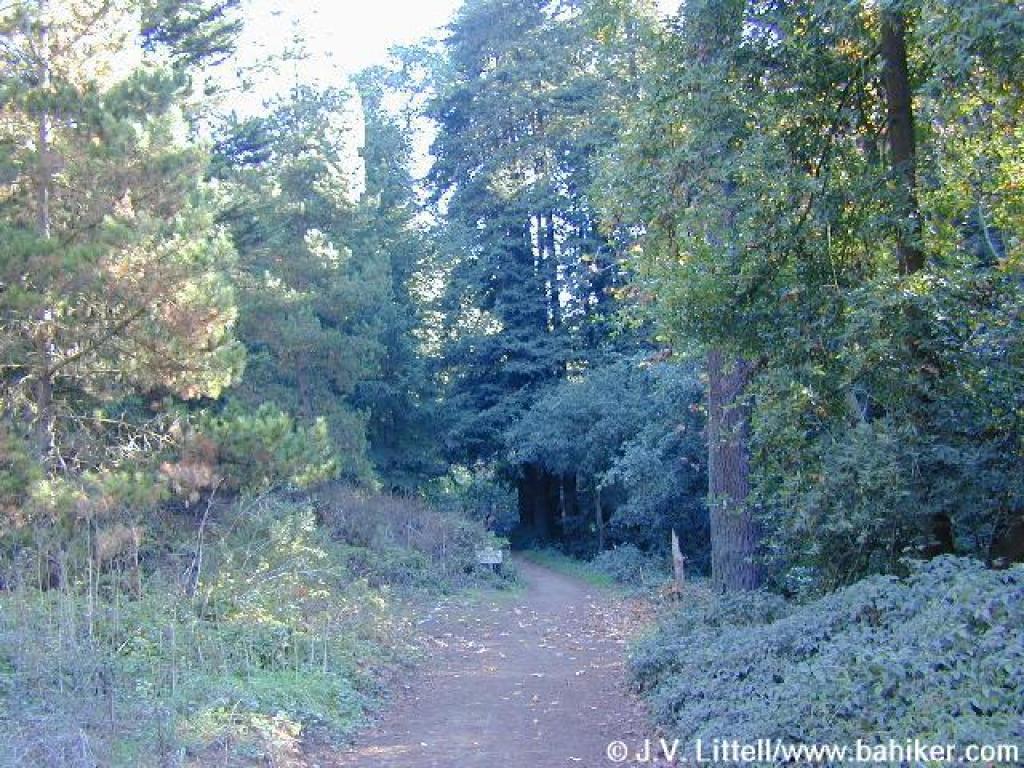
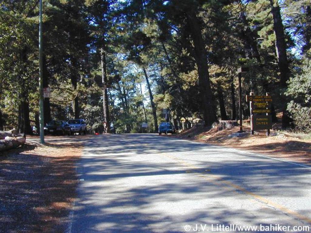
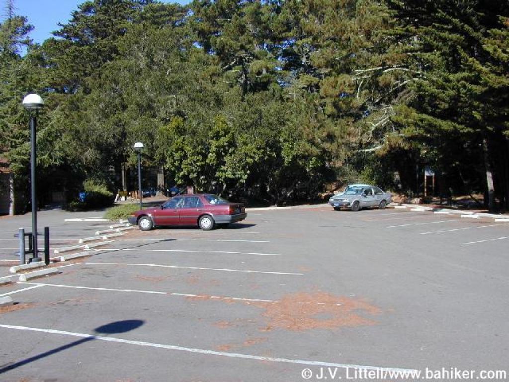 Trailhead |
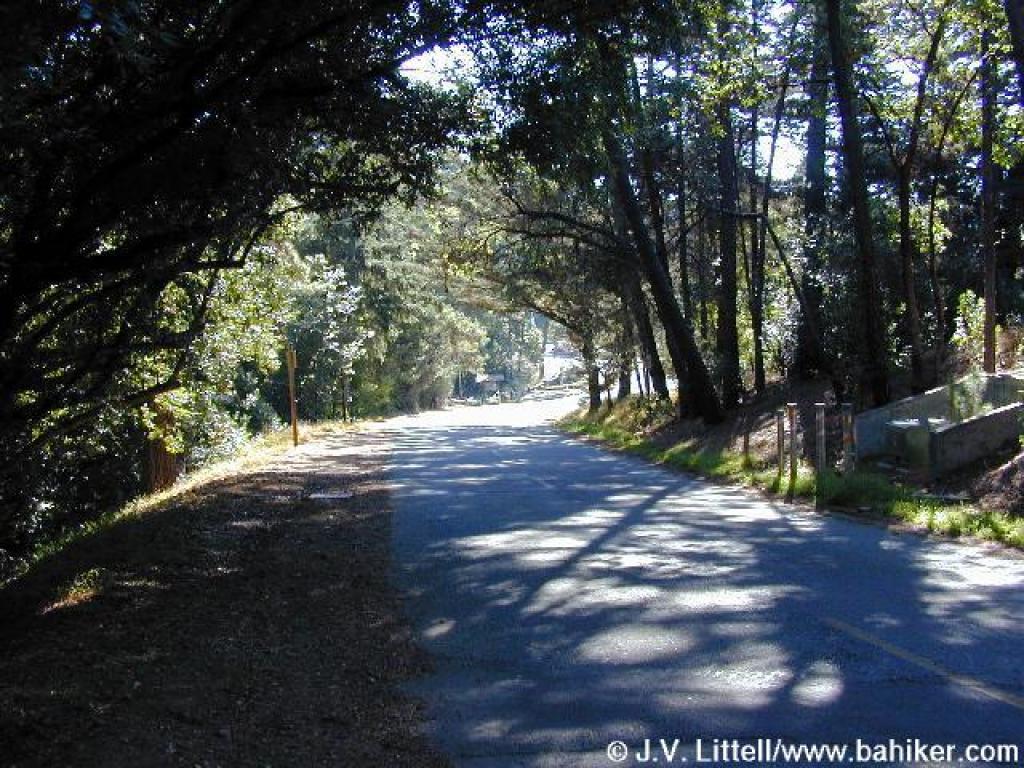 Route backtracks briefly along Sanborn Drive |
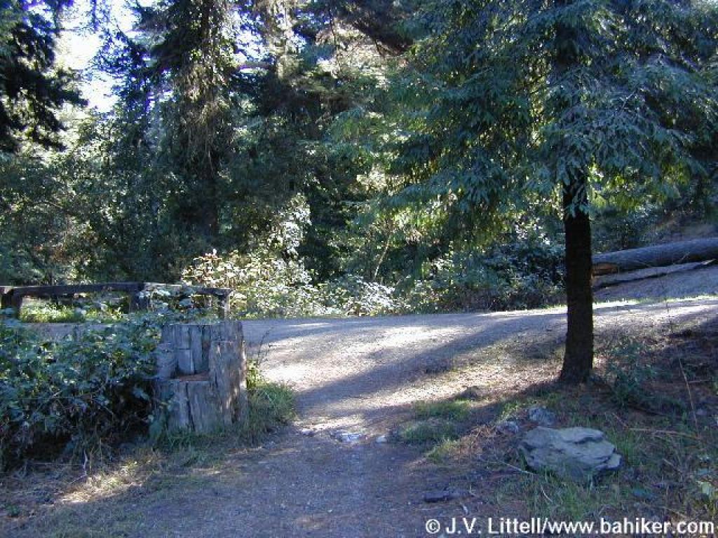
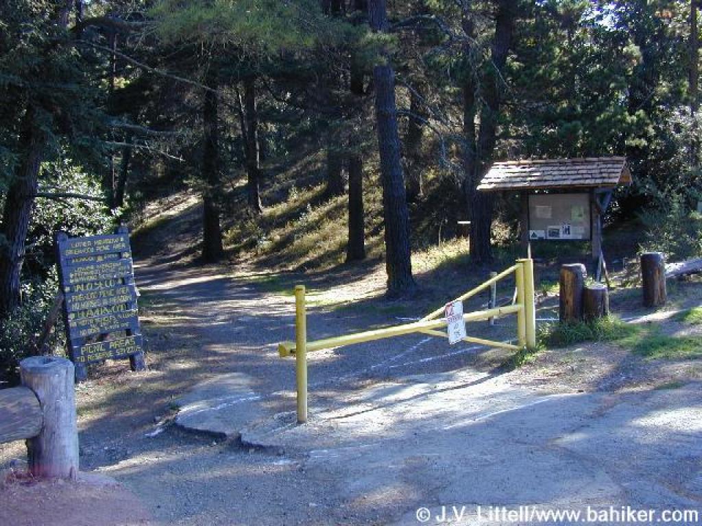 Gate |
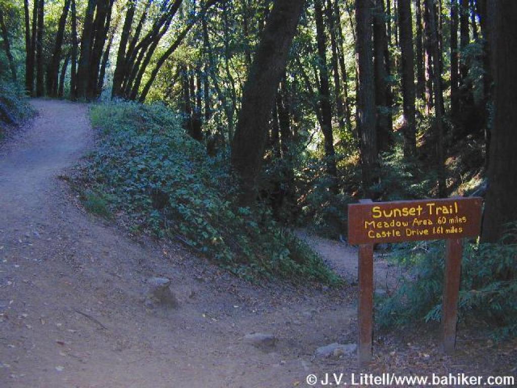
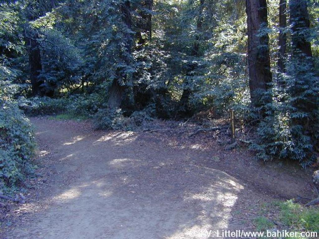
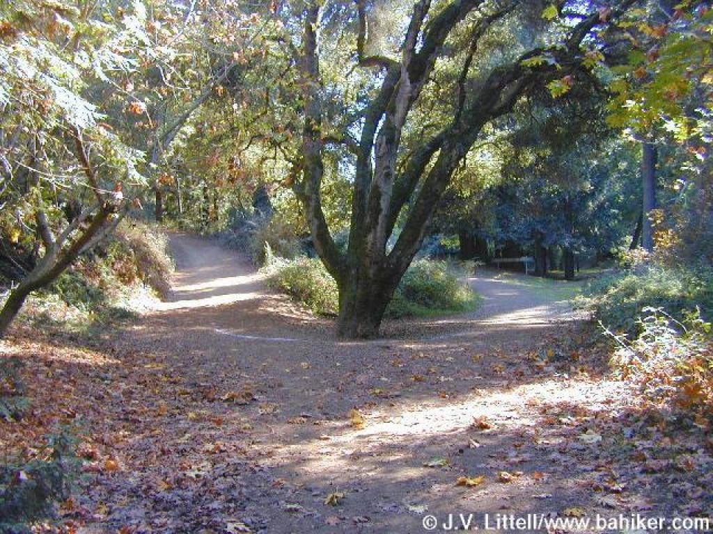
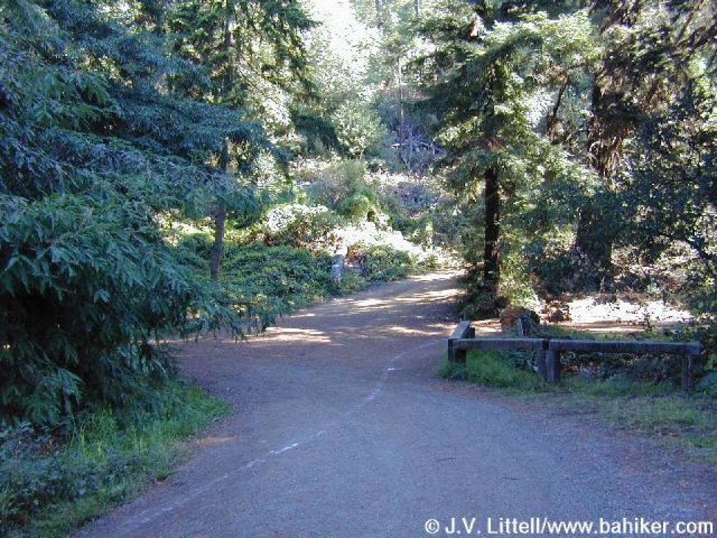 Junction |
||||
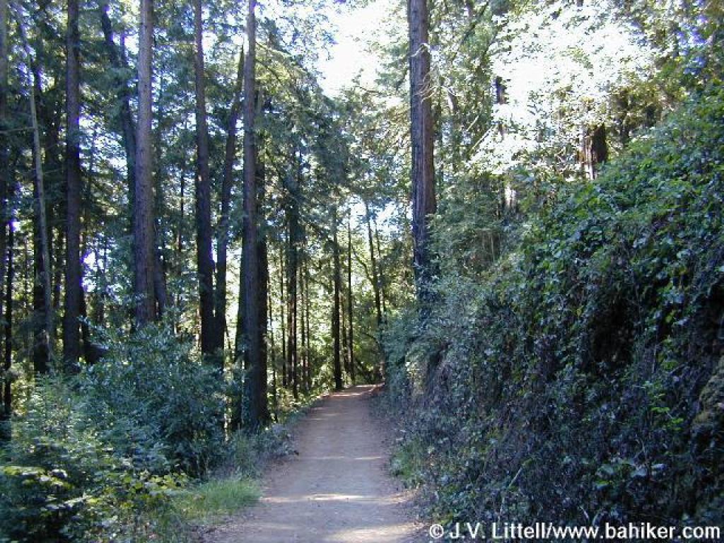
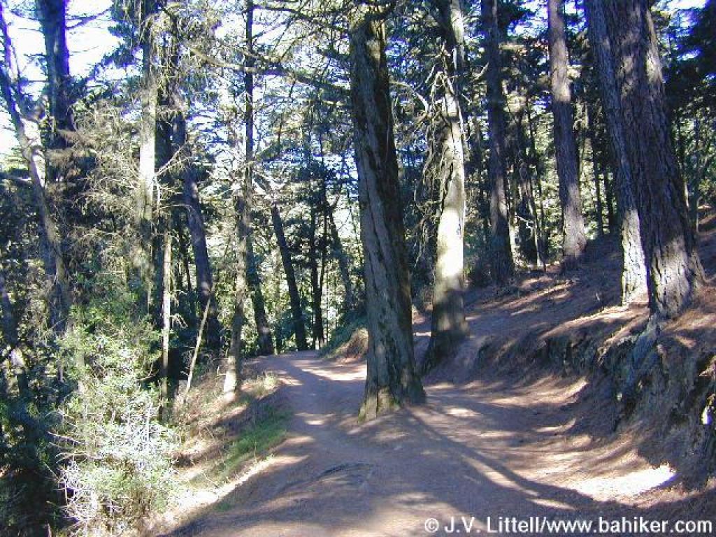
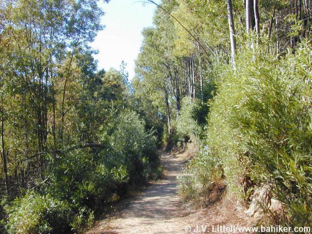
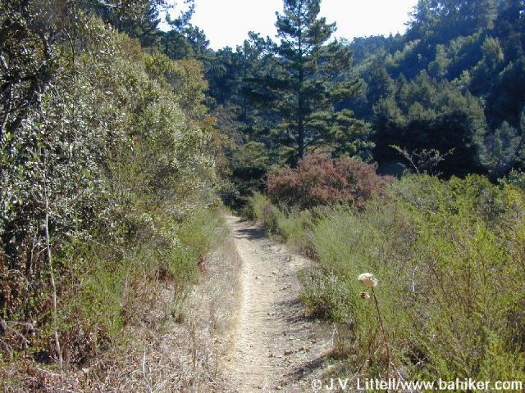
 Sunset Trail |
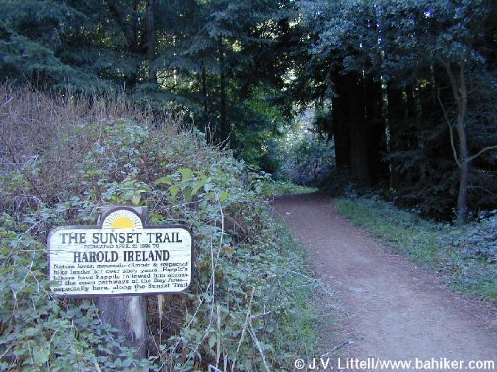 Sunset Trail |
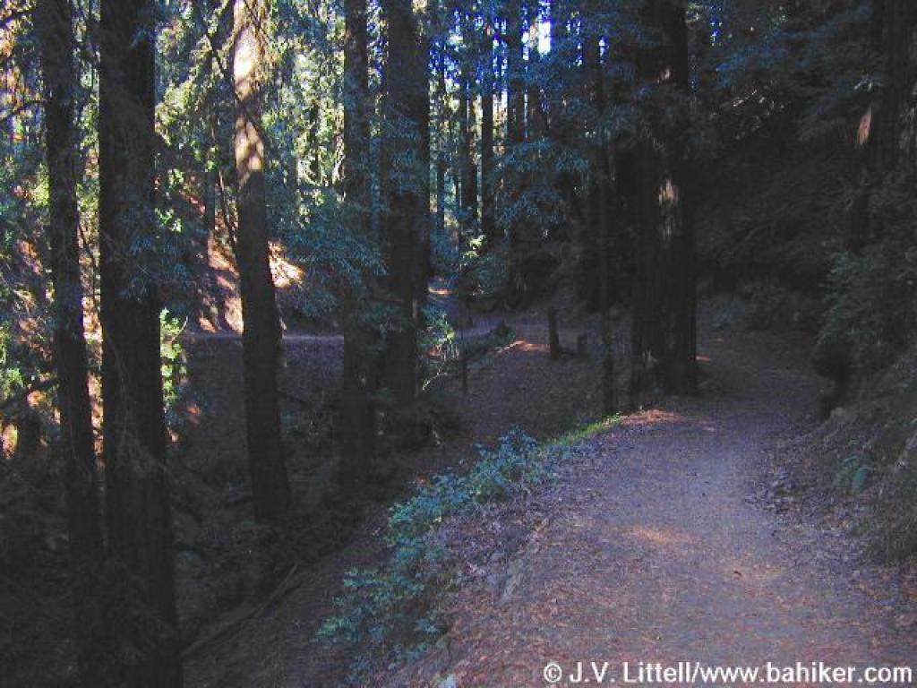
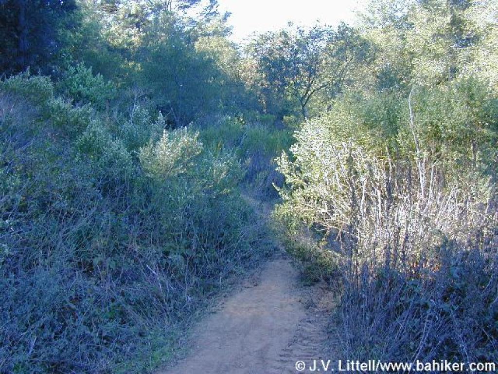
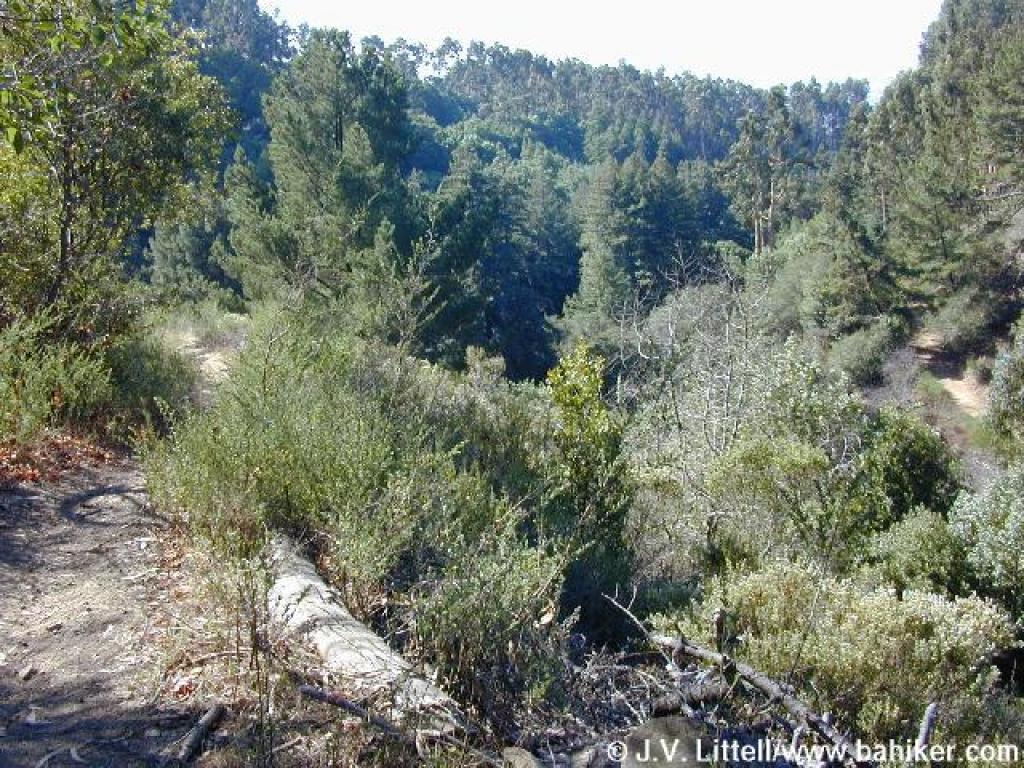
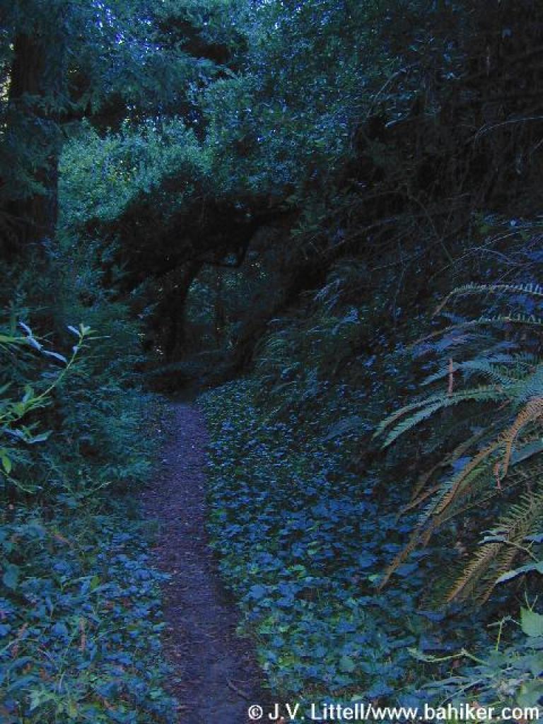
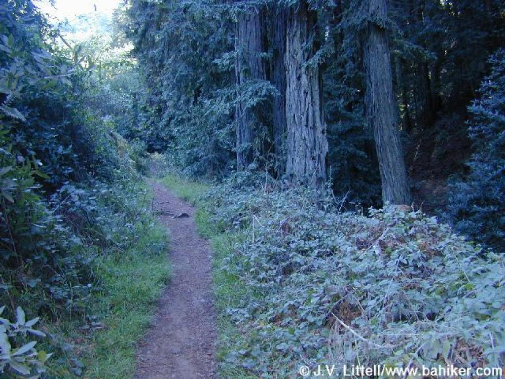 Trail climbs through a small dark canyon |
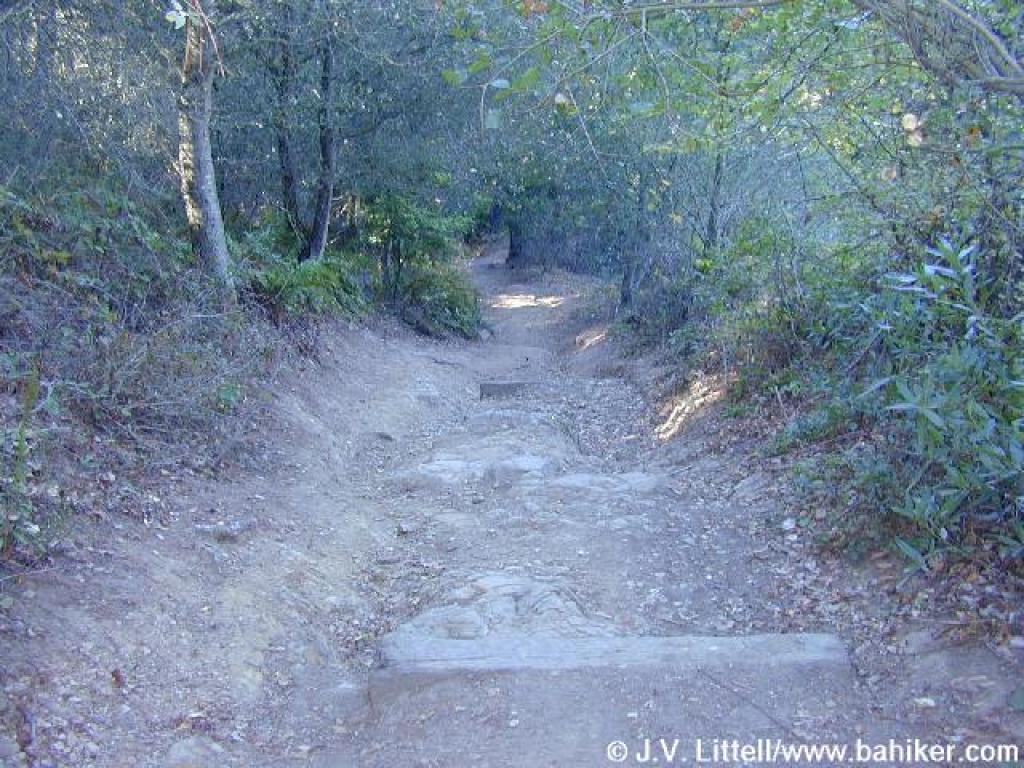
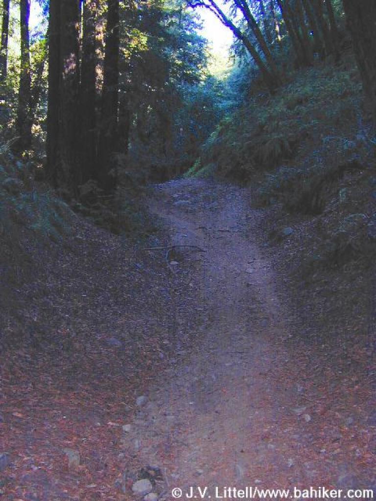 Steep stretch |
||||
 Looking back to the junction with Sunset and Sequoia Bayview Trails |
 Sequoia Bayview Trail |
 At a clearing along the trail, there are nice views of Oakland and San Francisco |
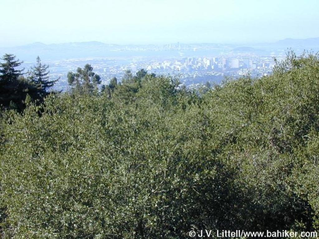 View |
||||
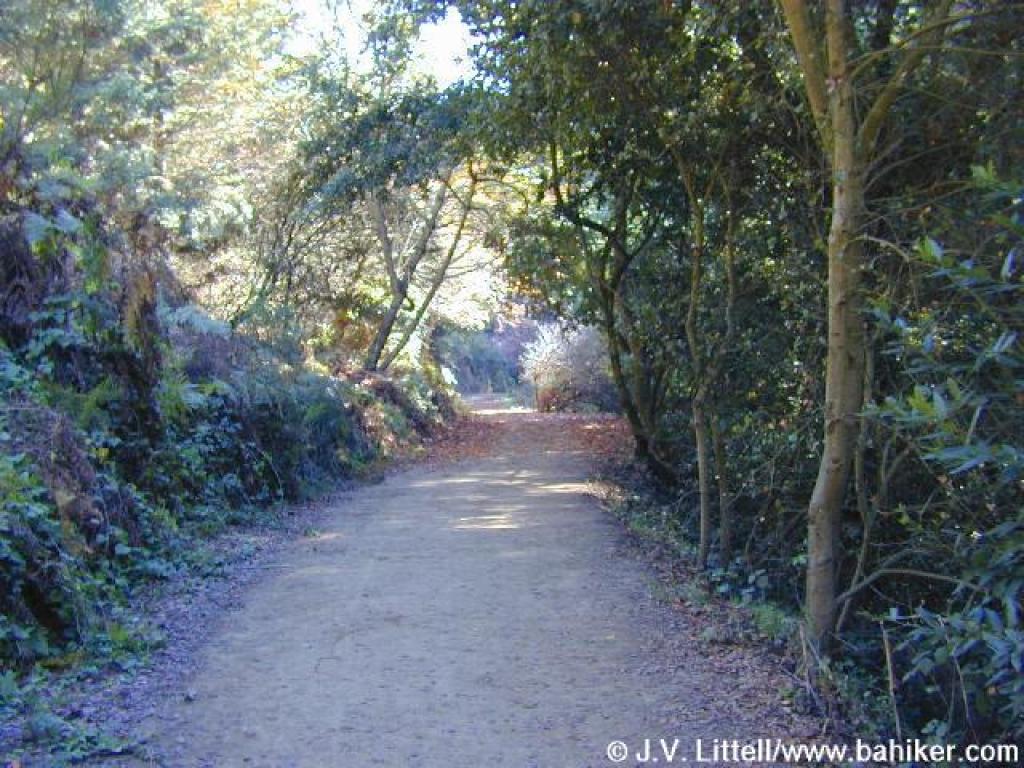
 The trail keeps to a level grade |
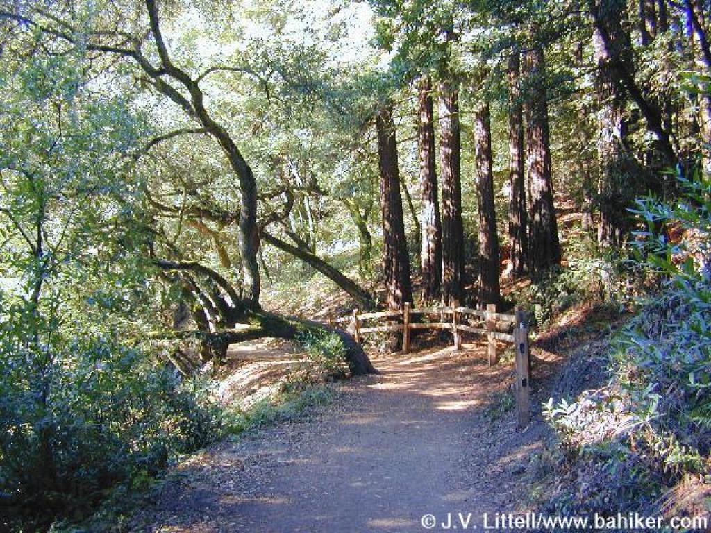 A graceful coast live oak along the trail |
 Pines tower overhead |
 Sequoia Bayview Trail |
||||
 Approaching junction with Fern Ravine Trail |
 Looking down Fern Ravine Trail |
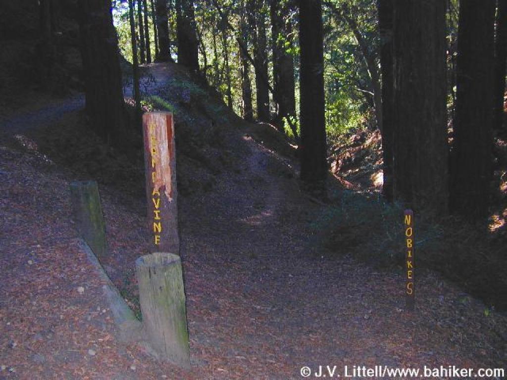
 Junction with Wild Rose Trail |
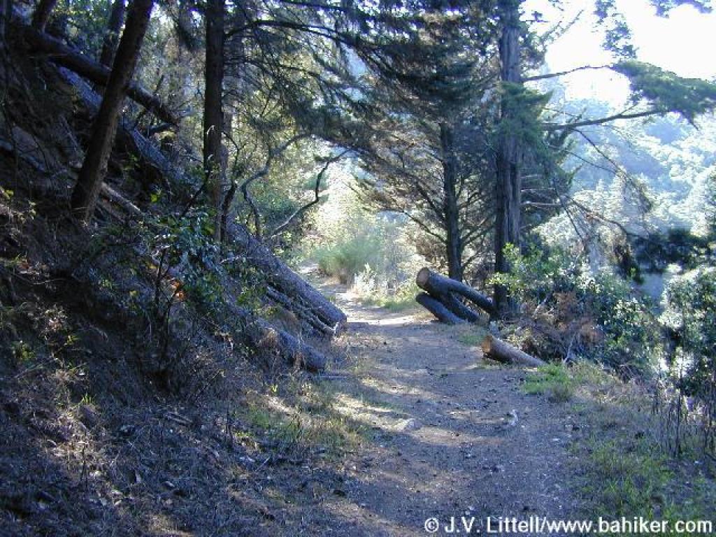
 Invasive trees line the trail |
||||
 Deep ruts preceed the departure of Chaparral Trail |
 Chaparral Trail |
 Serious erosion has left this section steep and rocky |
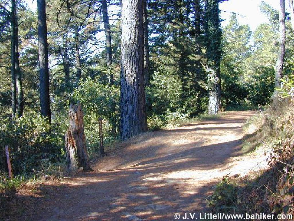
 A more pleasant stretch of trail |
||||
 View |
 Descending |
 Cotoneaster, a non-native shrub with poisonous berries |
 Back on Sunset Trail |
||||
 Junction with Palos Colorados Trail |
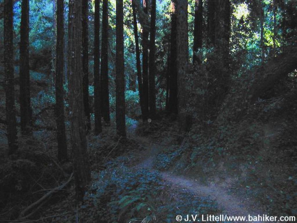 Winding through a dark ravine |
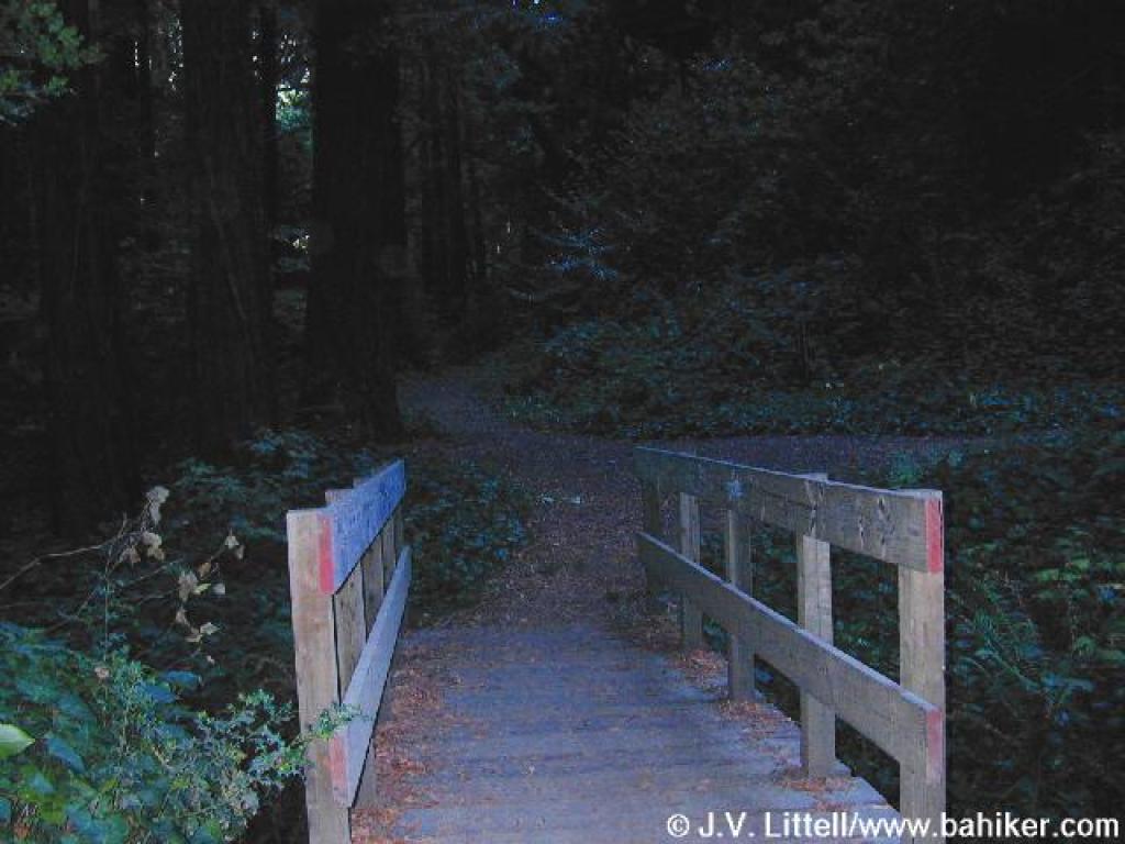 A bridge at the confluence of two creeks connects to Sinawik Trail |
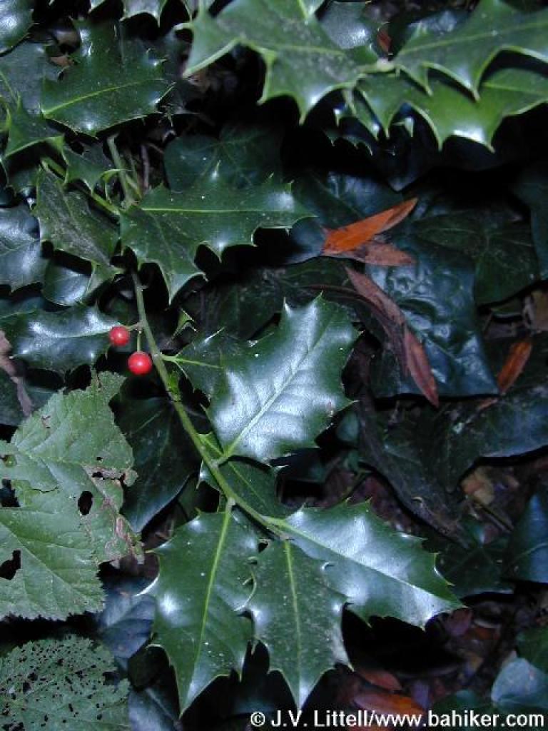 Holly? |
||||
 Climbing back uphill |
 Junction with Sinawik Loop |
 Sunset Trail veers left here, while the path on the right leads to the meadow area |
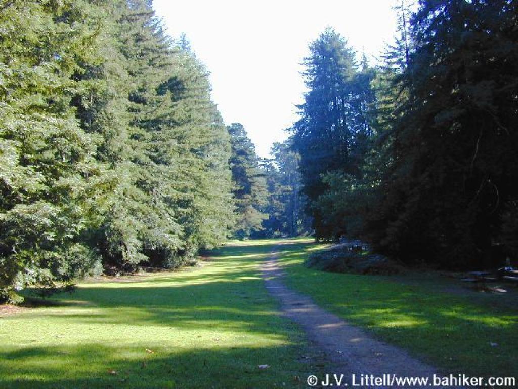 The pretty meadow |
||||
 At the edge of the meadow, you turn right and retrace your steps to the trailhead |
 Returning to the trailhead on Sanborn Drive |
Go to Bay Area Hiker Joaquin Miller page Go to Bay Area Hiker Home page |
|||||