| Photos
from a November 2001 hike at Lime Ridge Open Space (click on any image for a larger view) |
|||||||
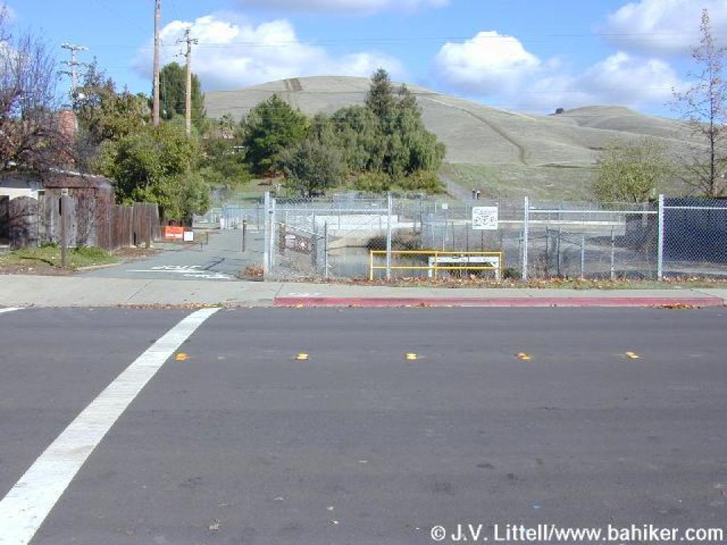 Park on Citrus Avenue and walk into the open space via Contra Costa Canal Trail |
 Approaching junction |
 Turn south |
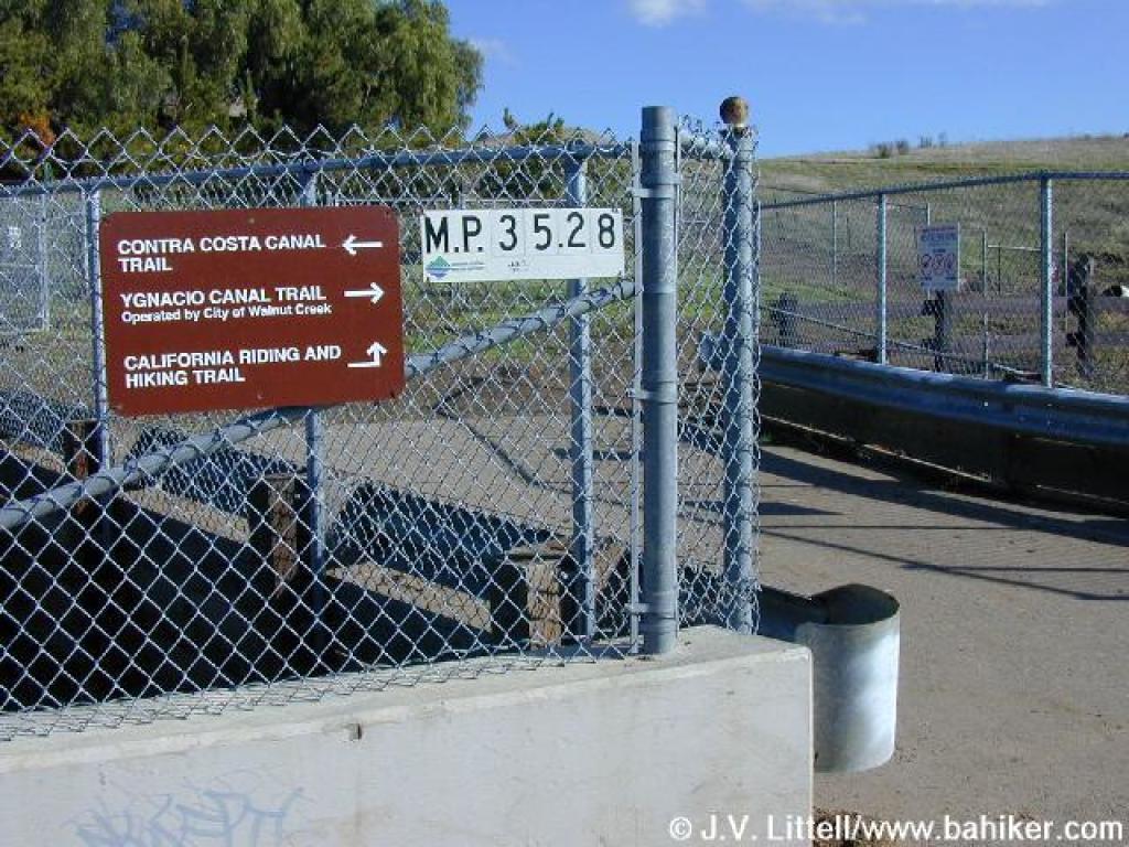 Signs at junction |
||||
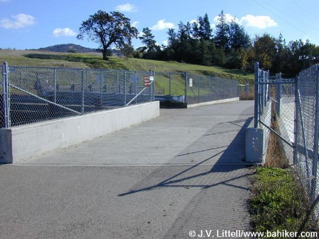
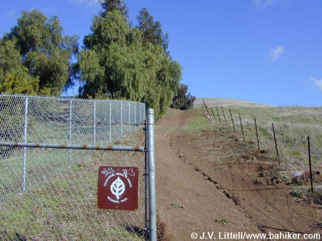 Riding and Hiking Trail |
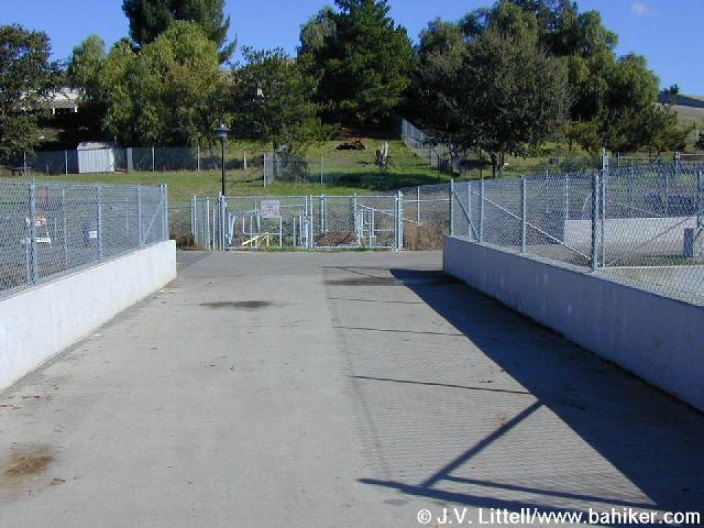
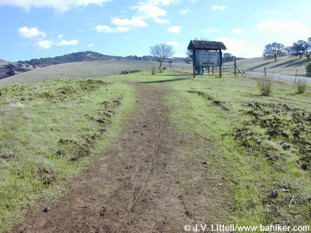
 Approaching the gated entrance to Lime Ridge |
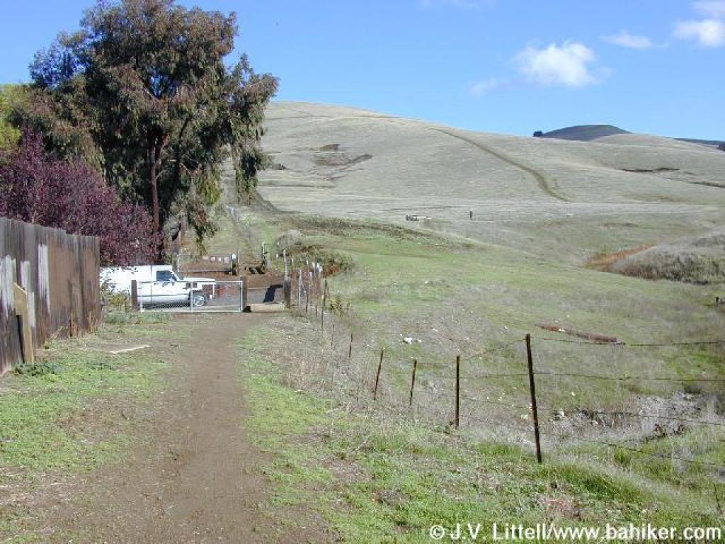
 The end of Navaronne Way is an alternate trailhead for this section of Lime Ridge |
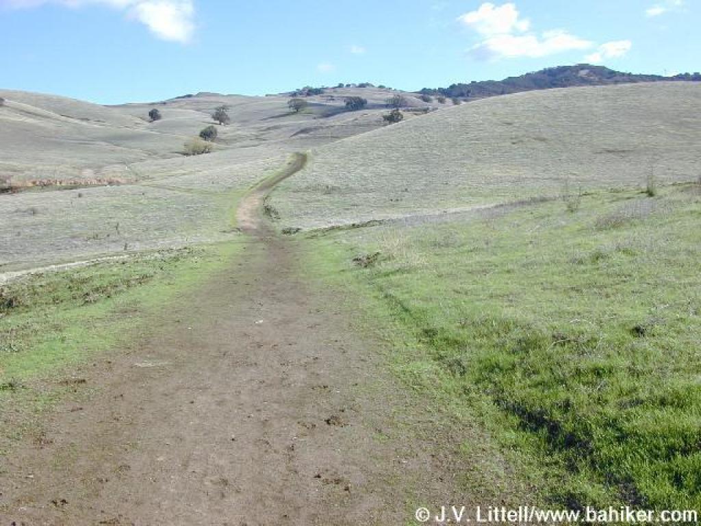
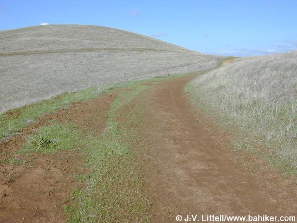
 Hills of Lime Ridge |
||||
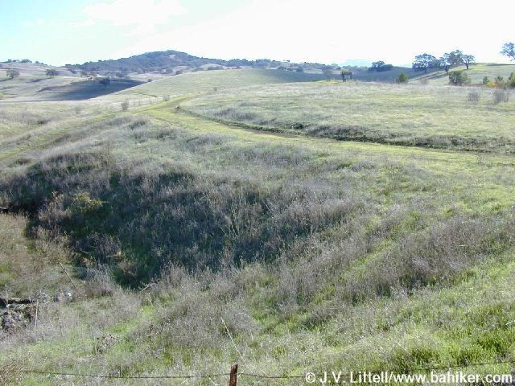
 View south from the valley |
 Approaching a Lime Ridge info sign |
 Heading southeast on one of Lime Ridge's unnamed trails |
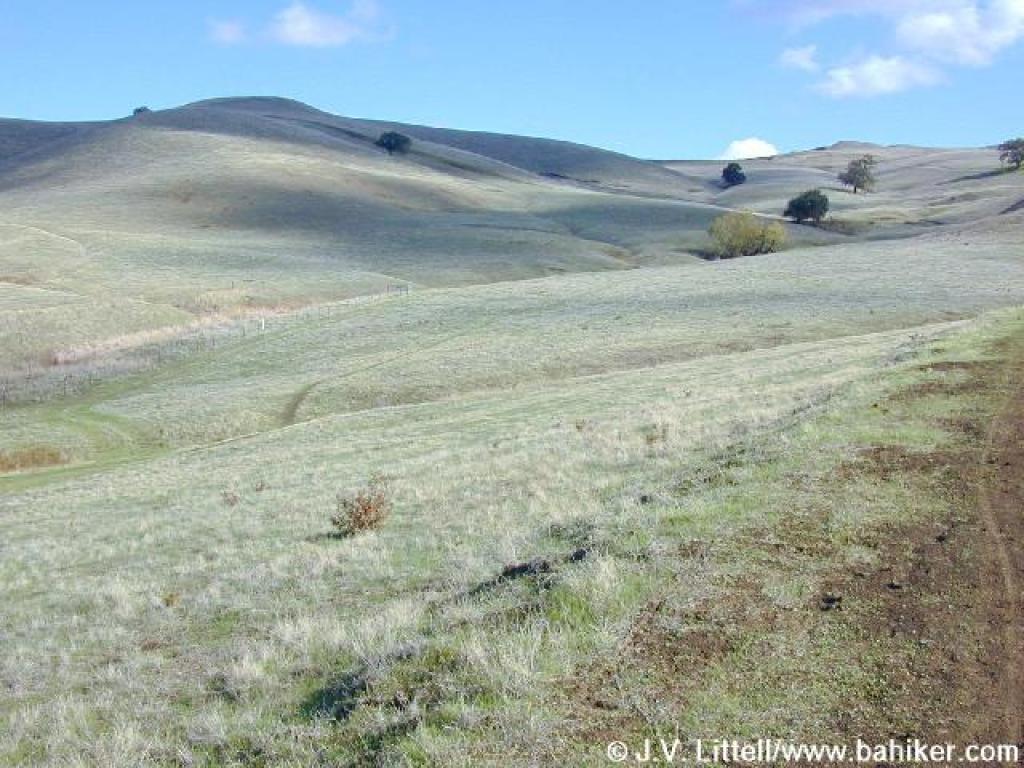 After just a few autumn storms, the hills were already slowly turning green |
||||
 Approaching junction |
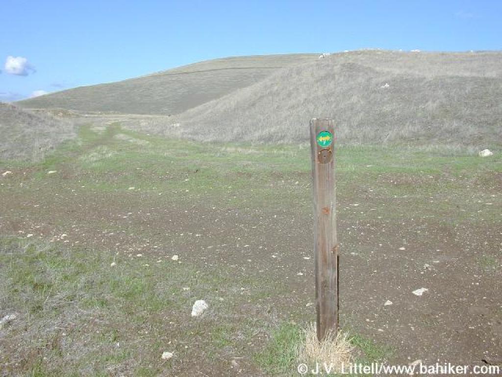 A useless signpost at the junction |
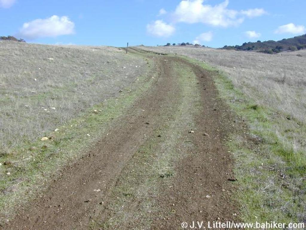
 This trail starts out wide but quickly narrows |
 Old quarry area |
||||
 Trail dips and then climbs |
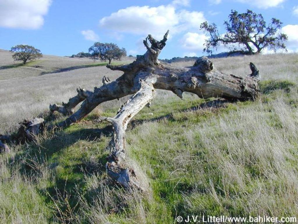 Tripod oak stump |
 Steep climb |
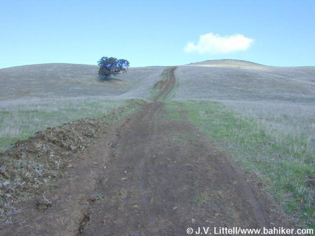
 View back from the crest |
||||
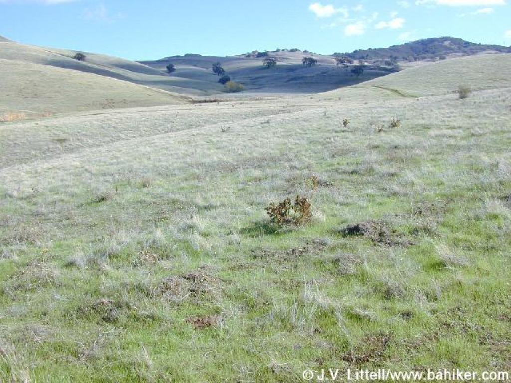
 Flat stretch |
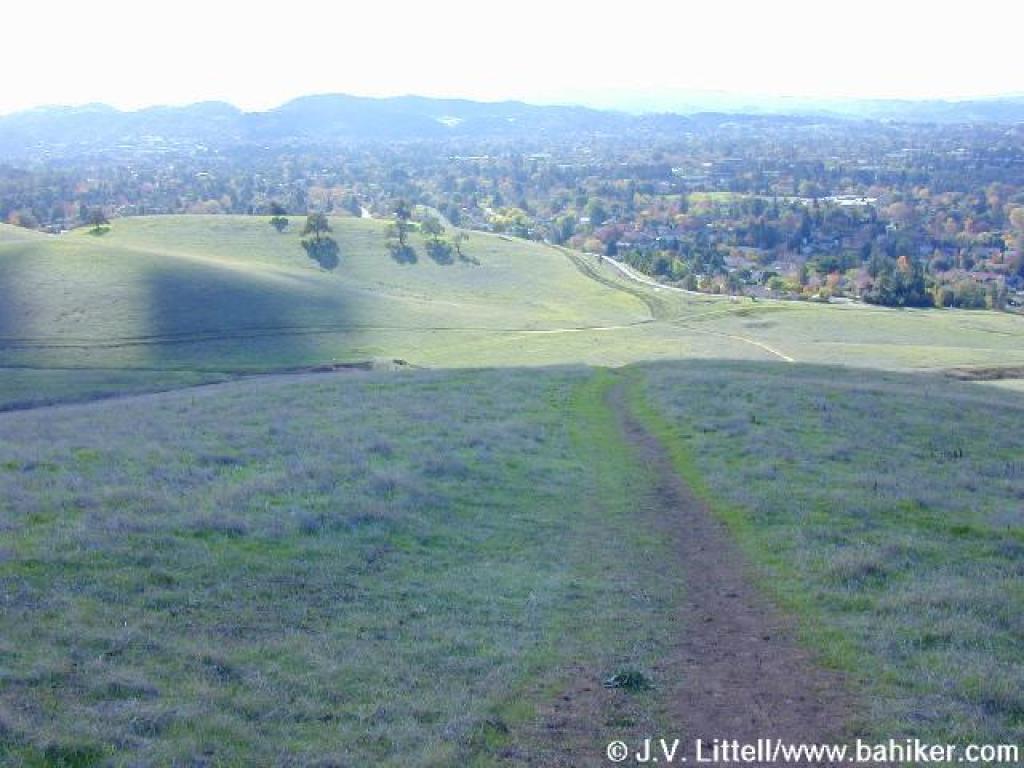
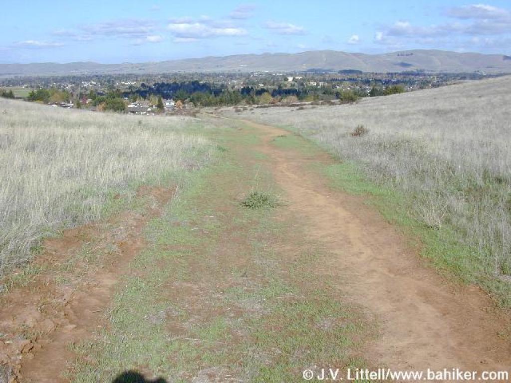 View north toward Concord at a junction |
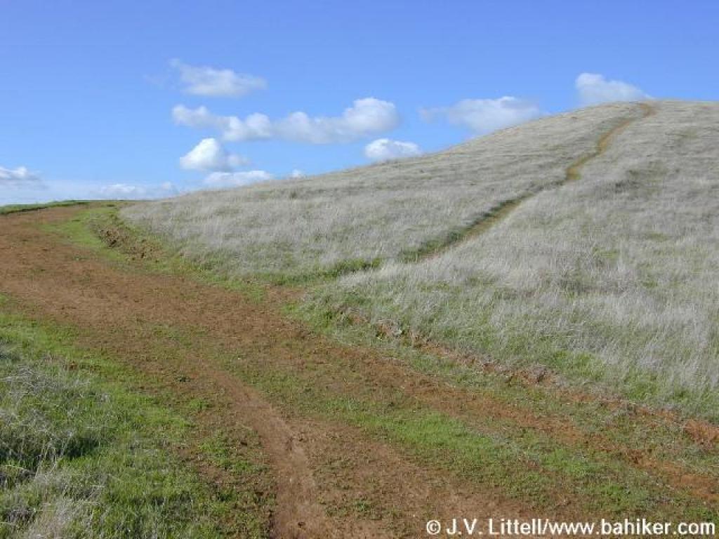 Main trail skirts the hilltop, while side path heads to the top |
 Junction |
||||
 Descent |
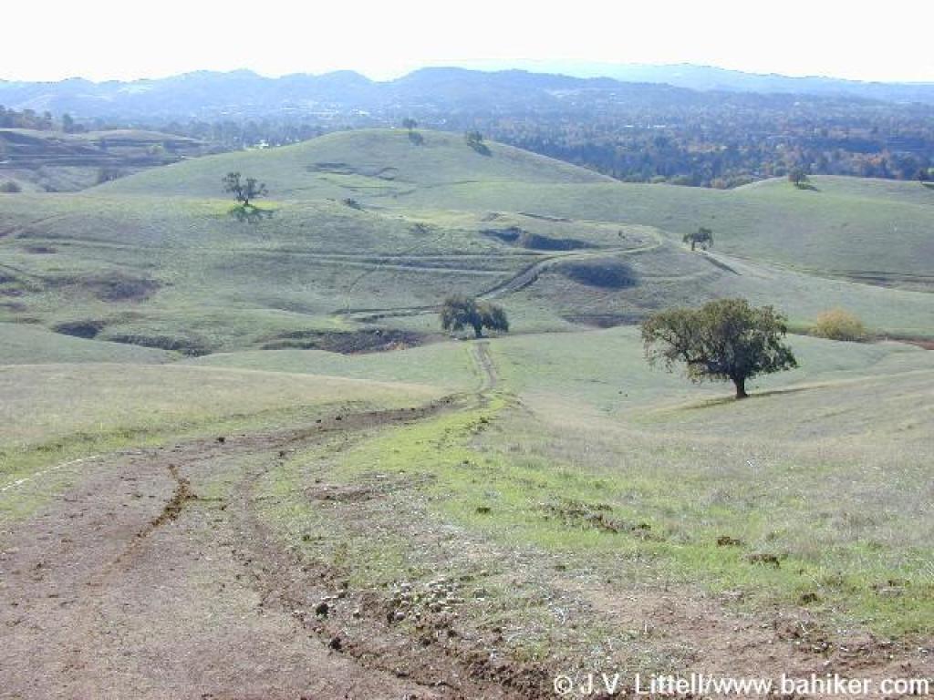
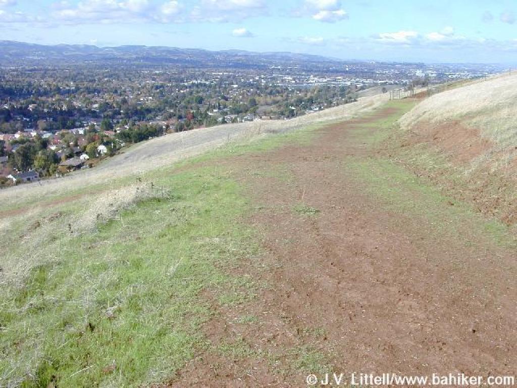
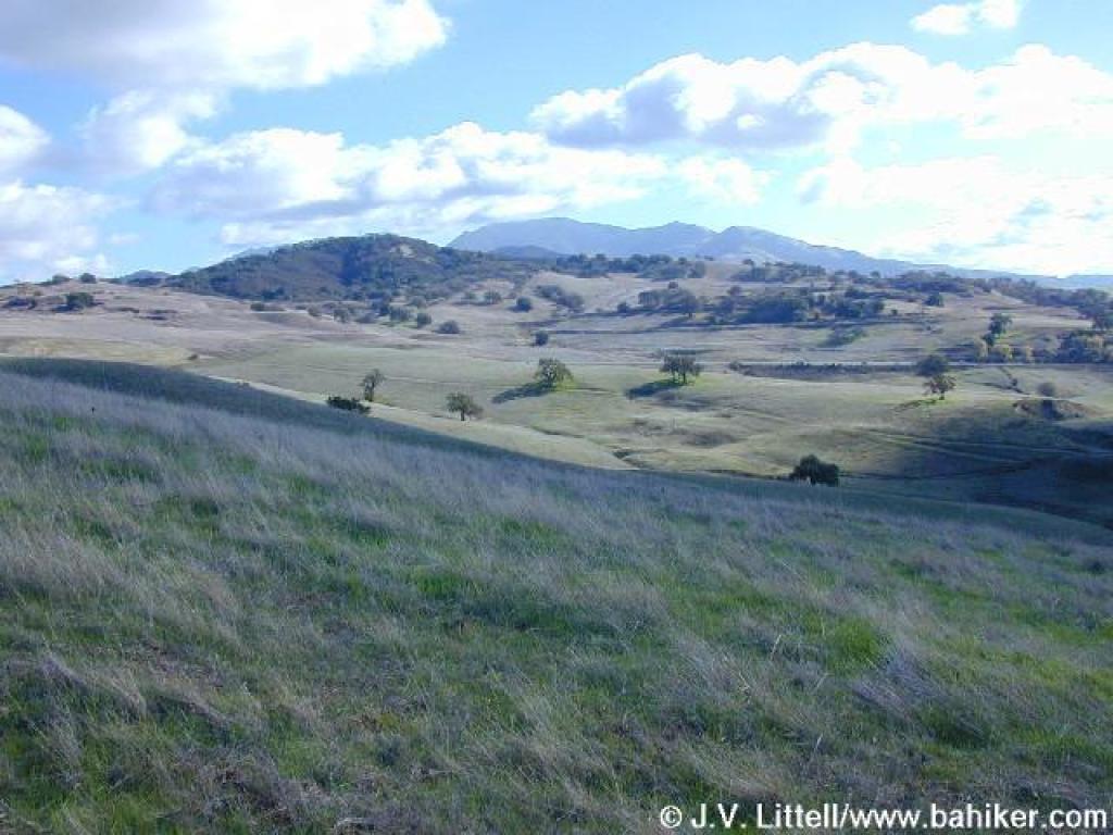 Another nice view south to Diablo |
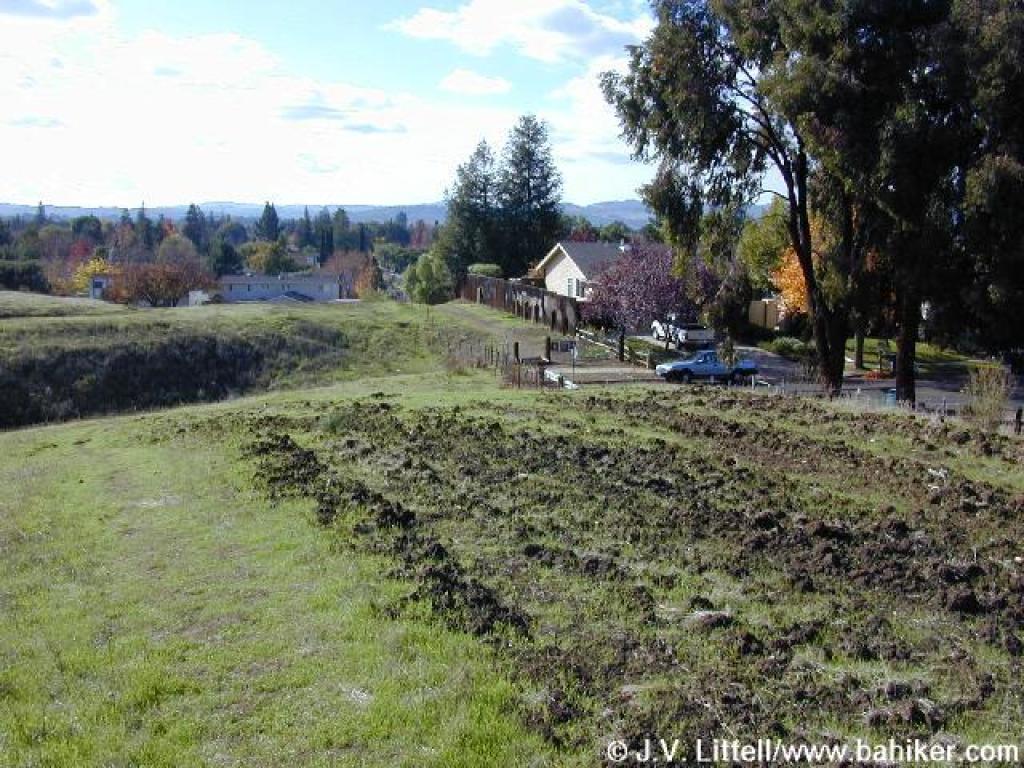
 Heading back down to the valley floor |
 Heading toward the gate and Riding and Hiking Trail |
||||
Go to Bay Area Hiker
Lime Ridge page
Go to Bay Area Hiker
Home page