| Photos
from a February 2001 hike at Miller/Knox Regional Shoreline (click on any image for a larger view) |
|||||||
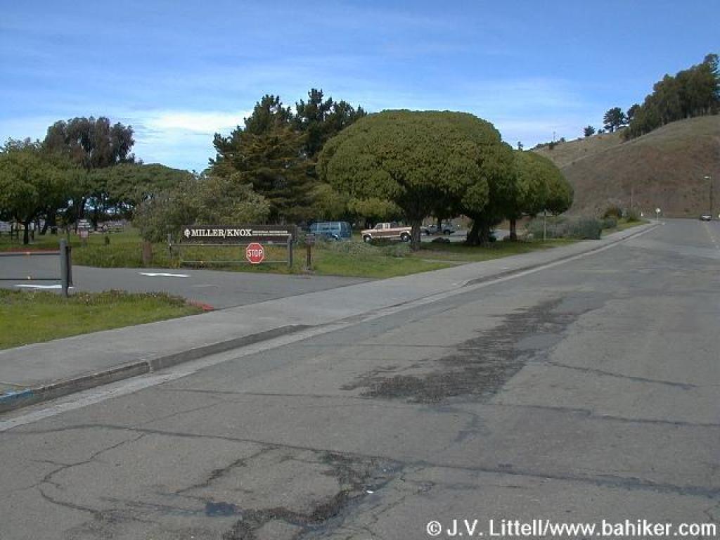 Park entrance |
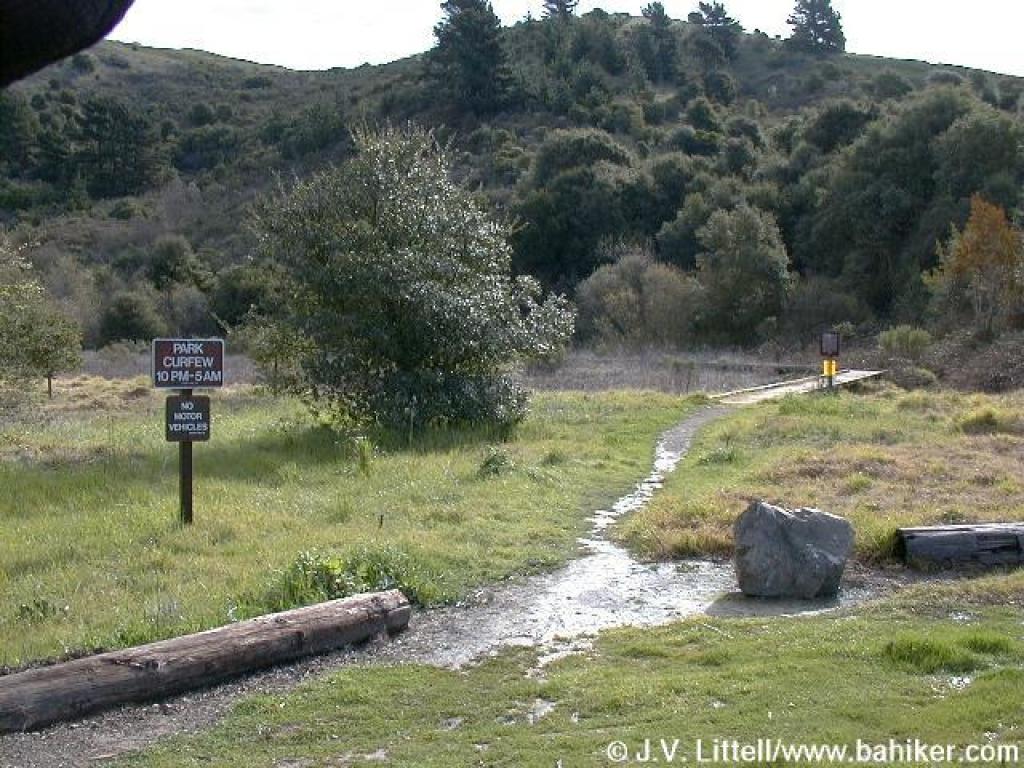 Trail starts out across the street from the parking lot |
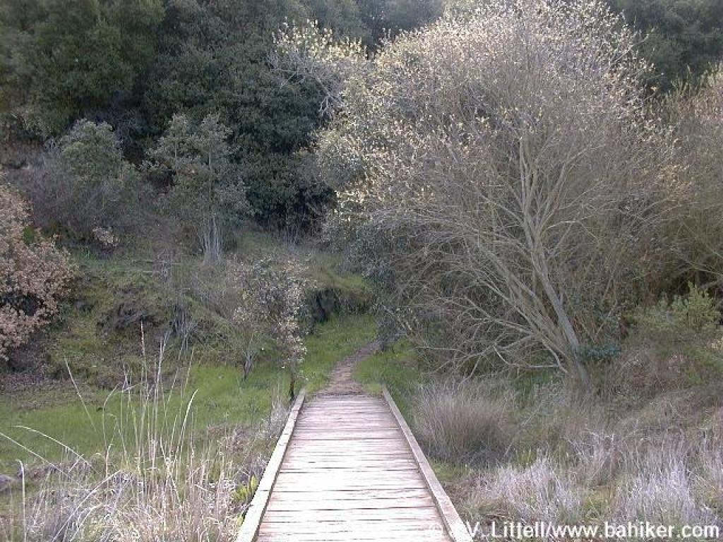 Boardwalk |
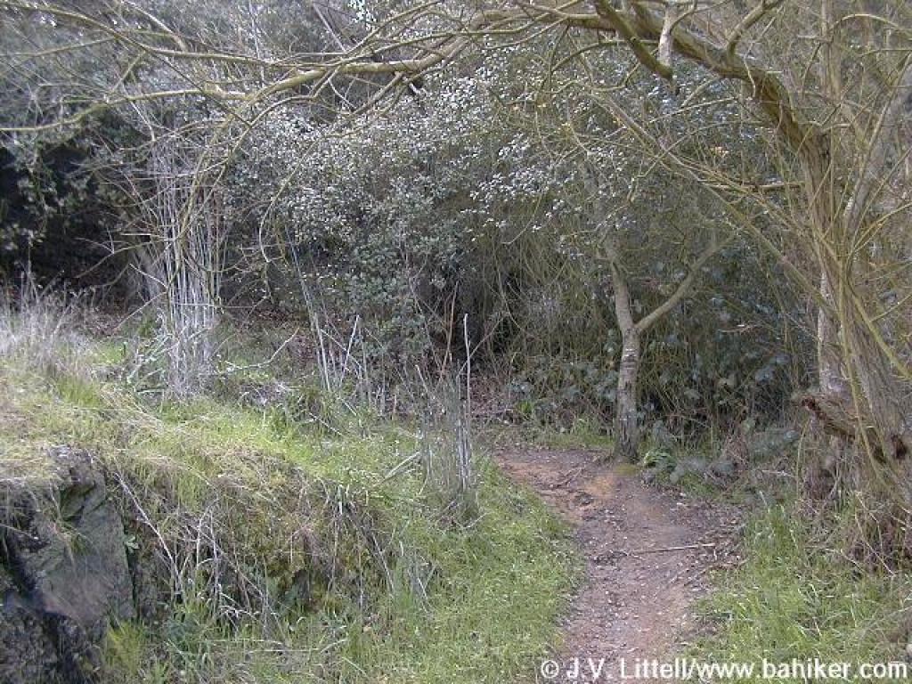
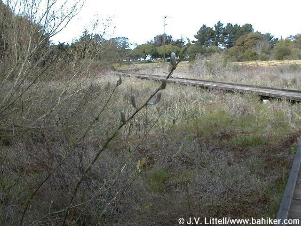 Willow |
||||
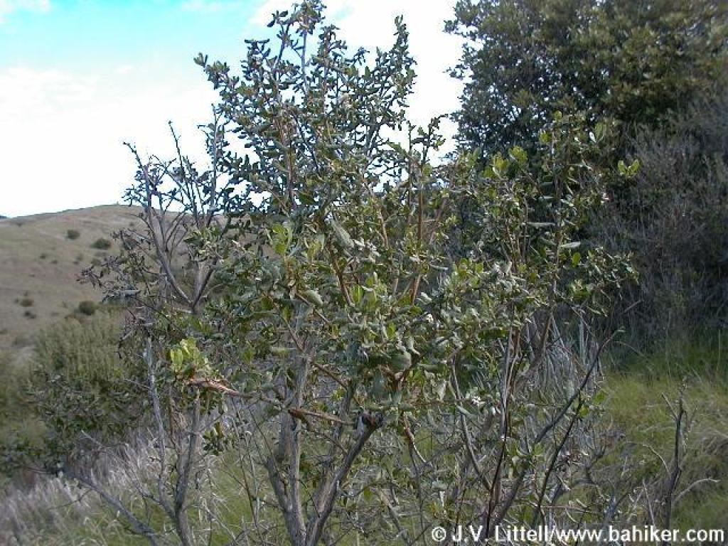
 Coast live oak |
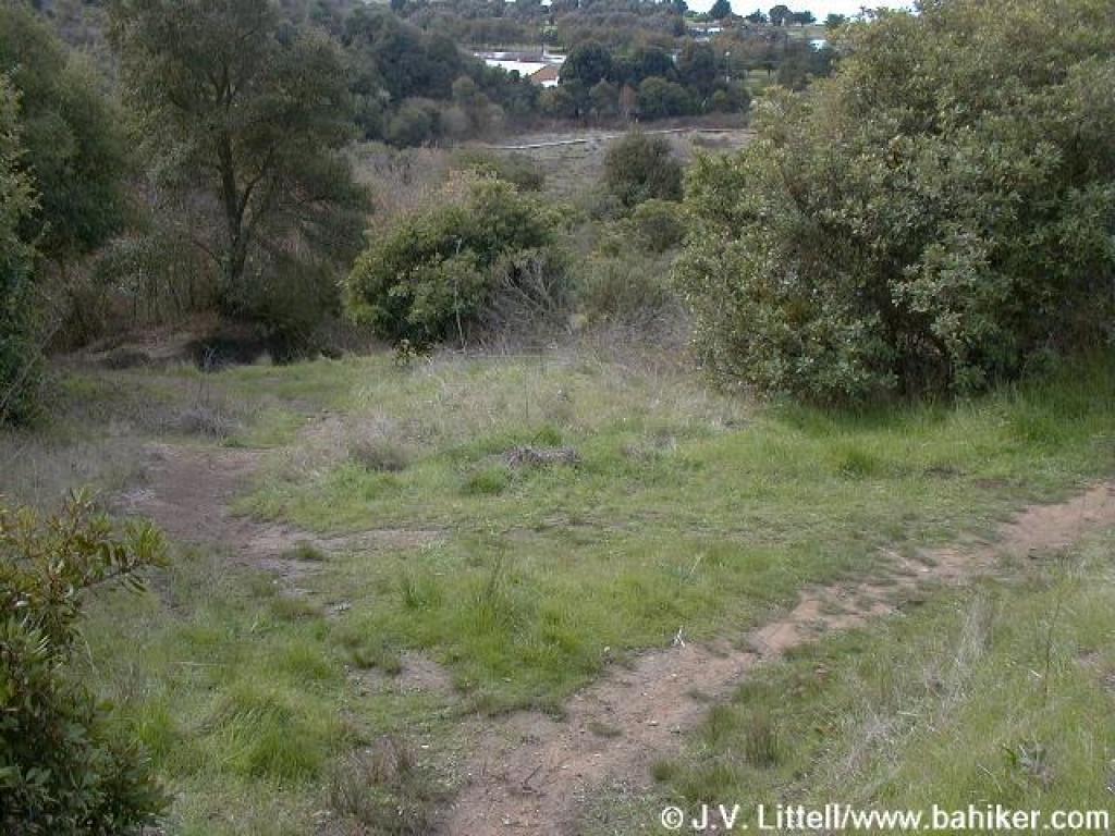
 At the edge of the marshy area |
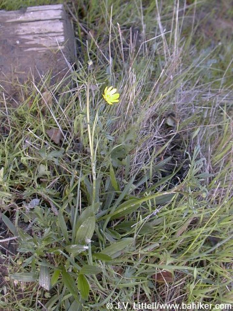 California buttercup |
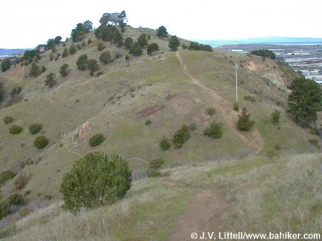
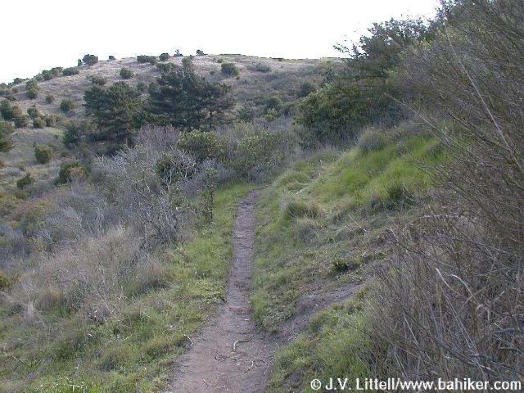 Ascending |
||||
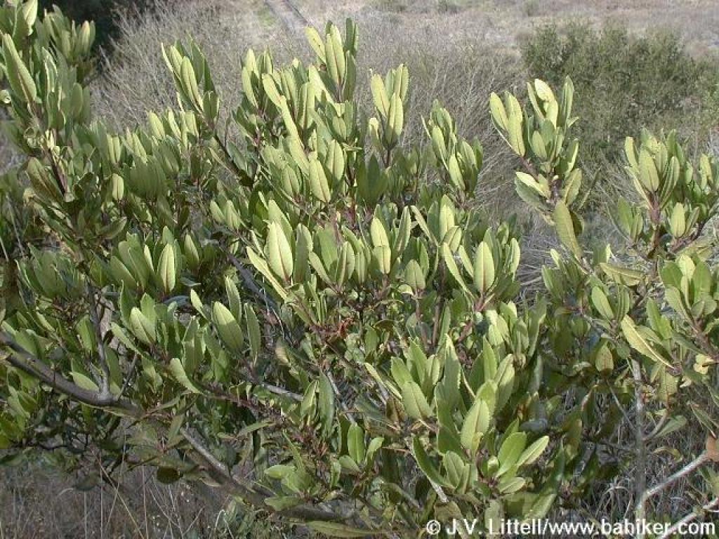 Toyon |
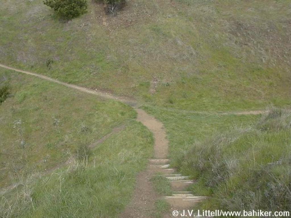
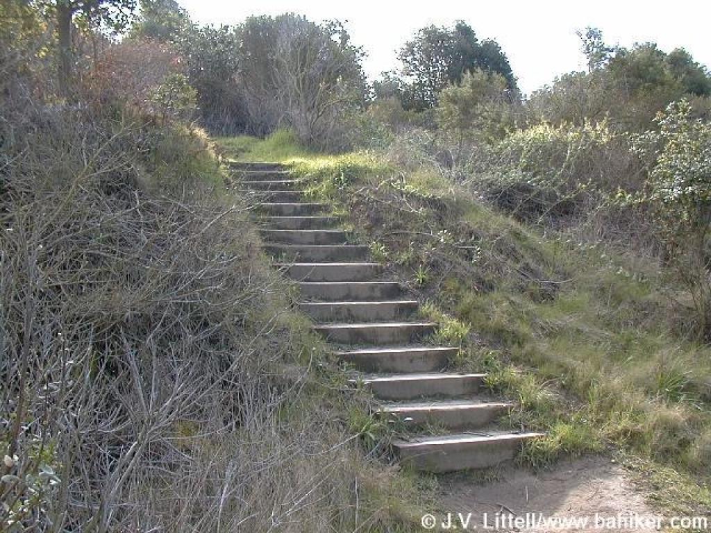 Steps |
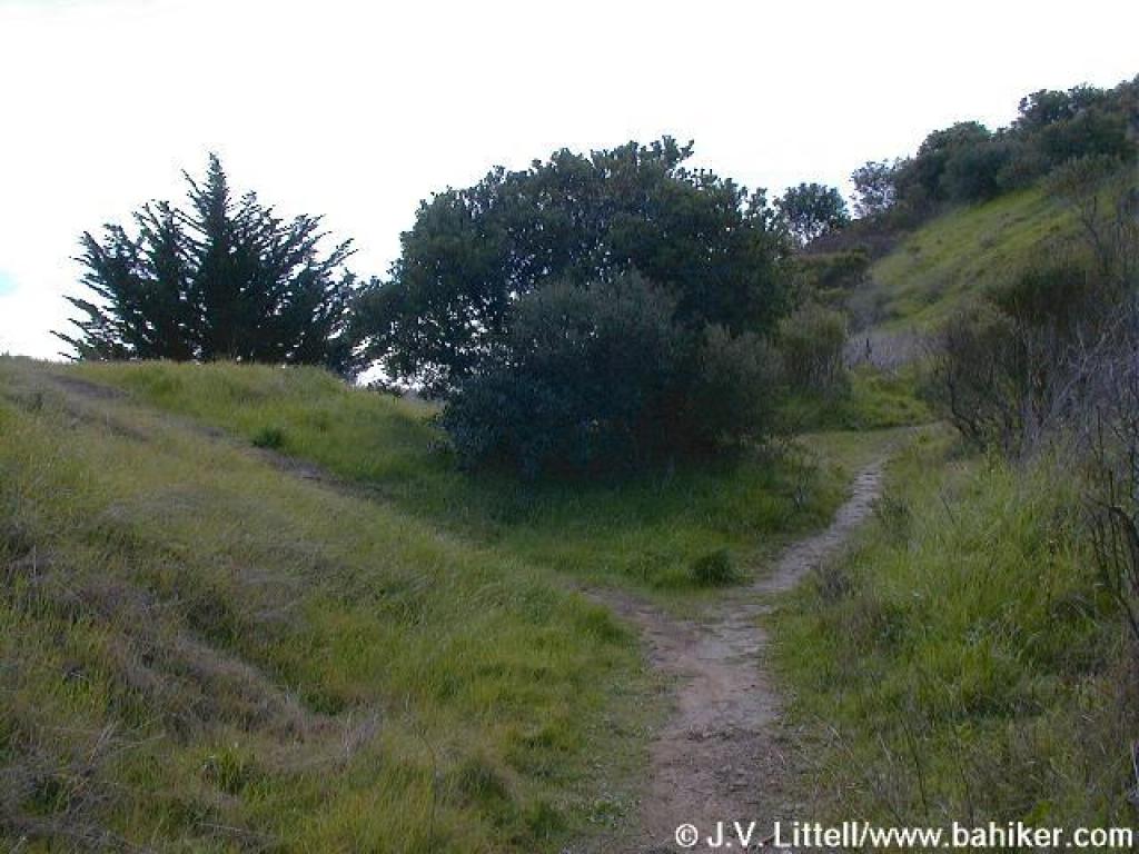
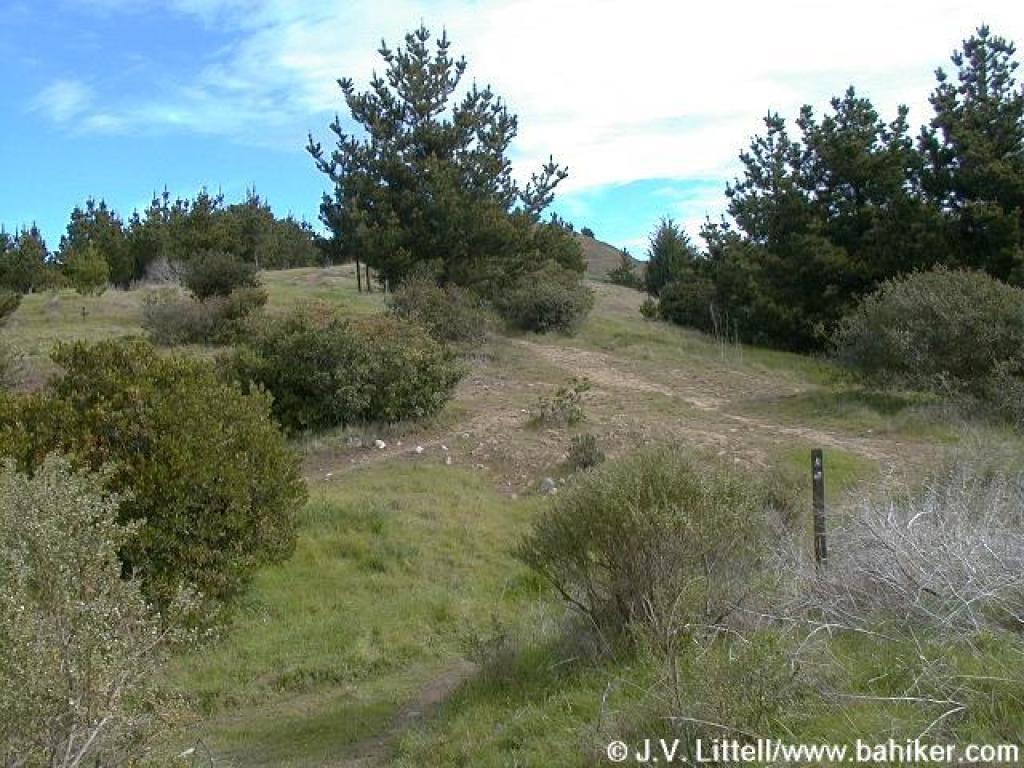
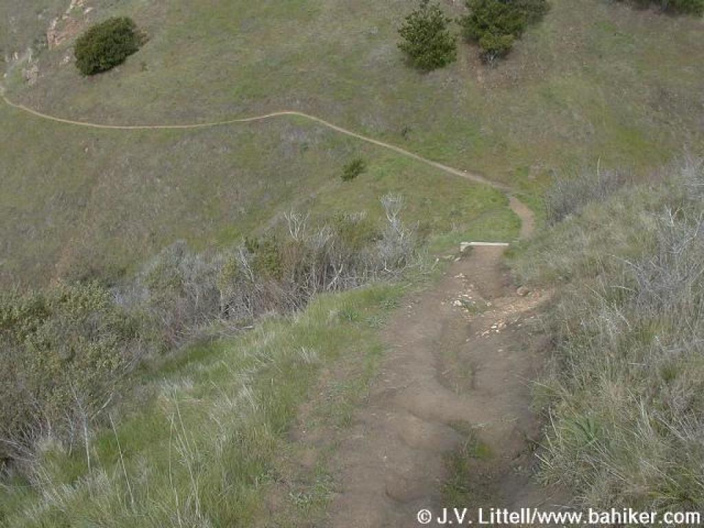
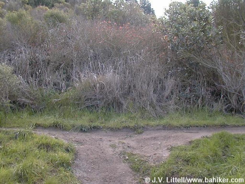 Junction |
 Old Country Road |
||||
 Coyote brush |
 Trail takes a turn to the left, away from a drop-off |
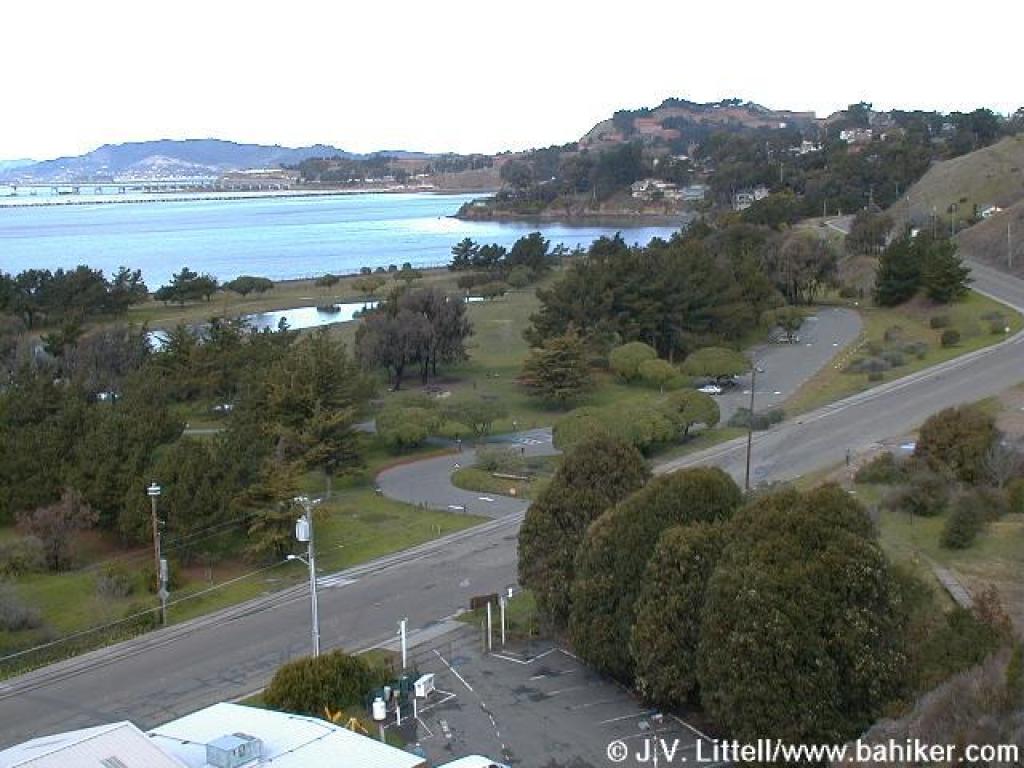 View to the bay |
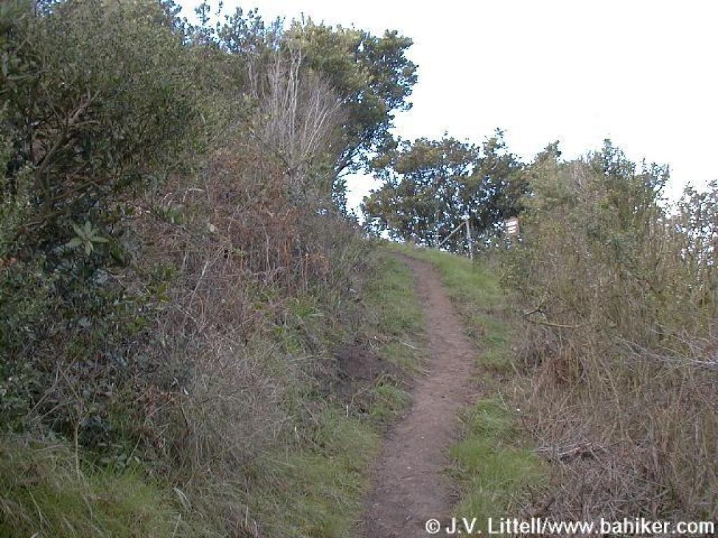
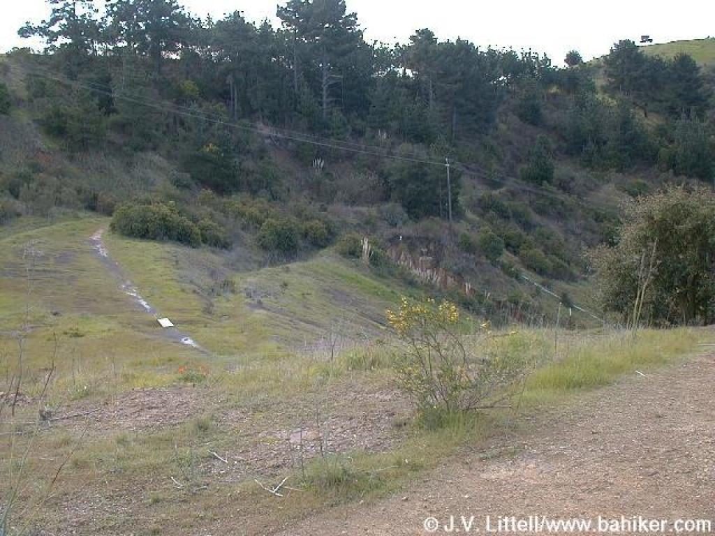 Descending a bit |
||||
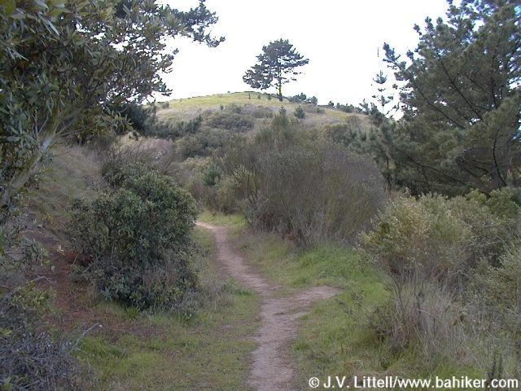
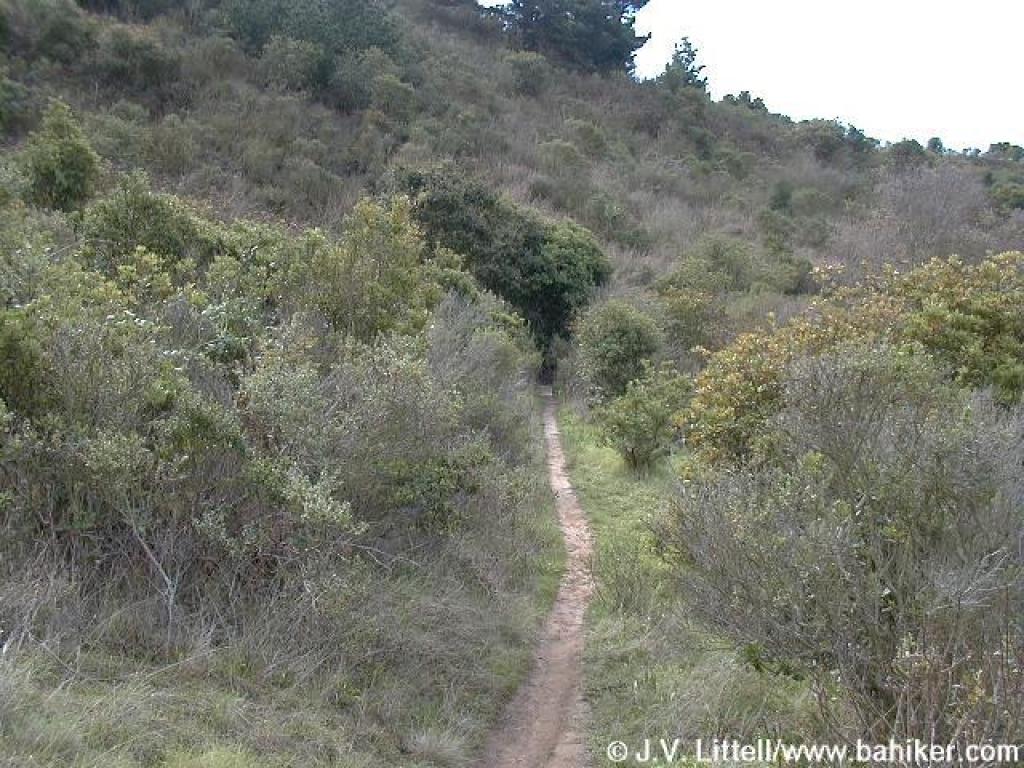
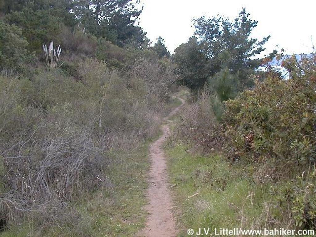 Path through toyon, coyote brush, and pine |
 Pine |
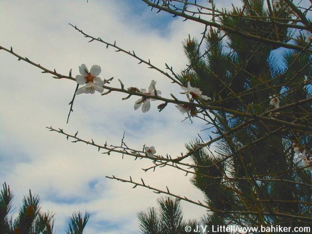 Flowering fruit tree |
 Spur trails enter from the right |
||||
 Junction |
 Path to West Ridge Point |
 View |
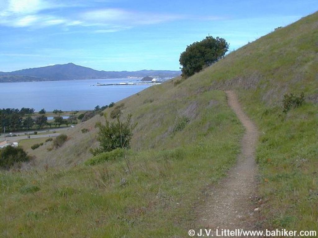
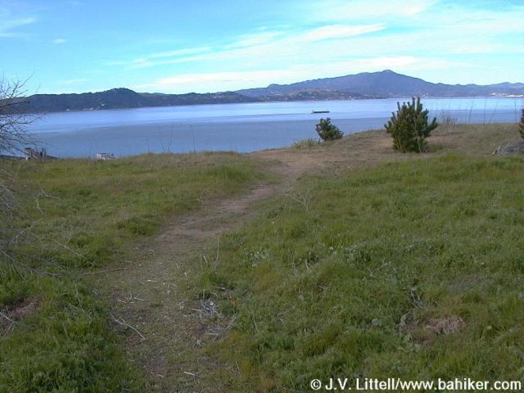 View across the bay to Mount Tamalpais |
||||
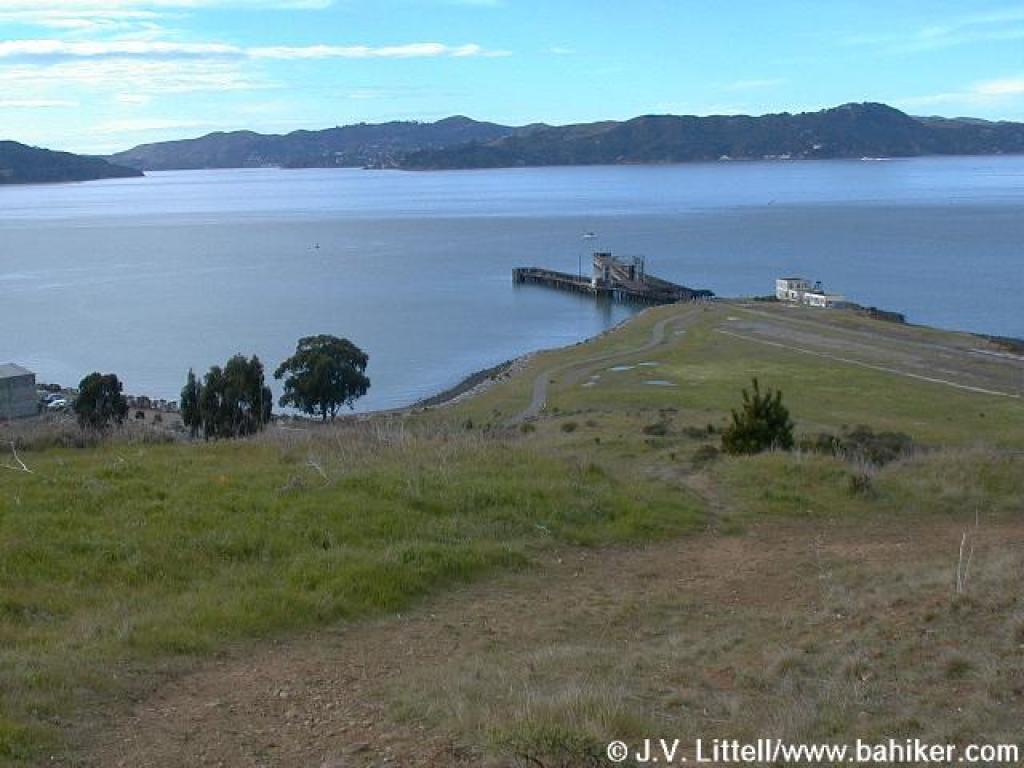
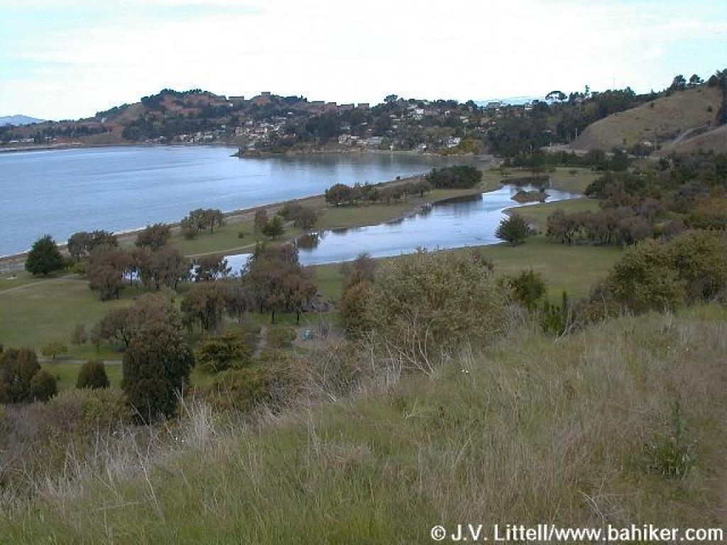 View down to the lagoon, and Point Richmond |
 Back at the junction again |
 West Ridge Trail |
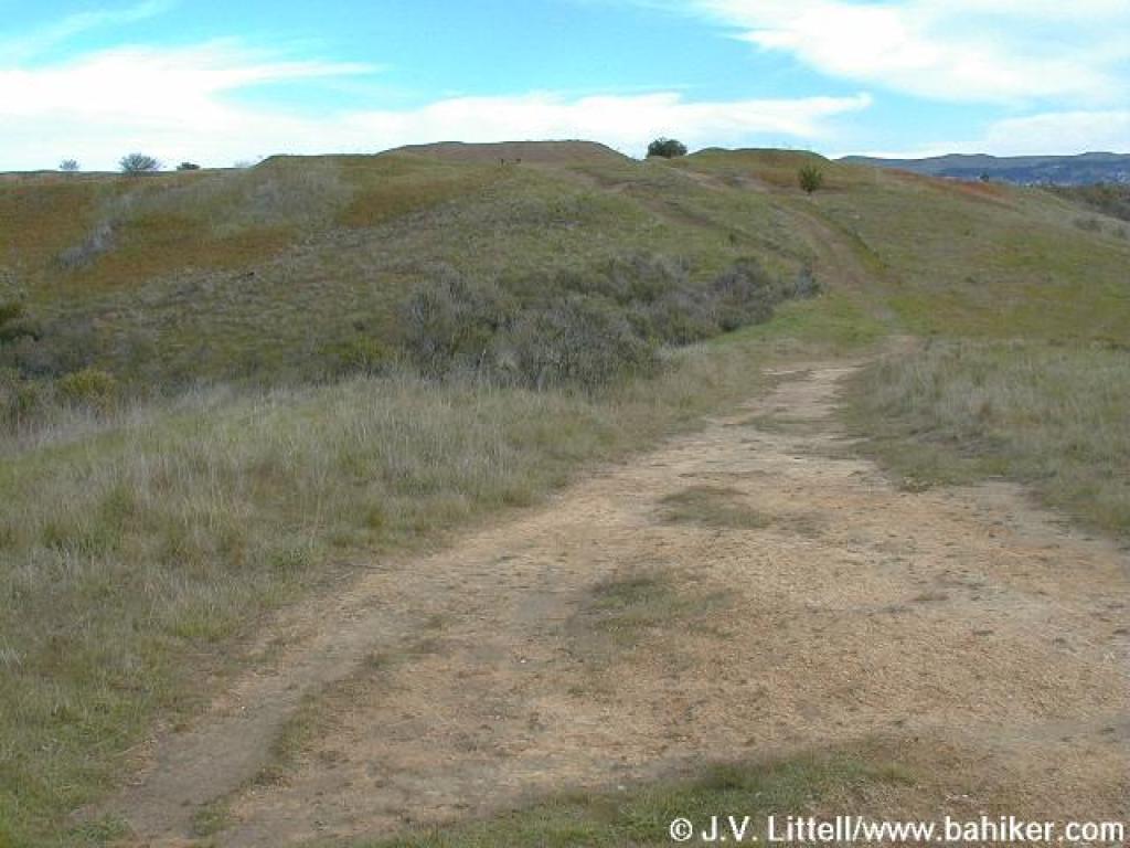
 Grade steepens |
||||
 Sharp climb |
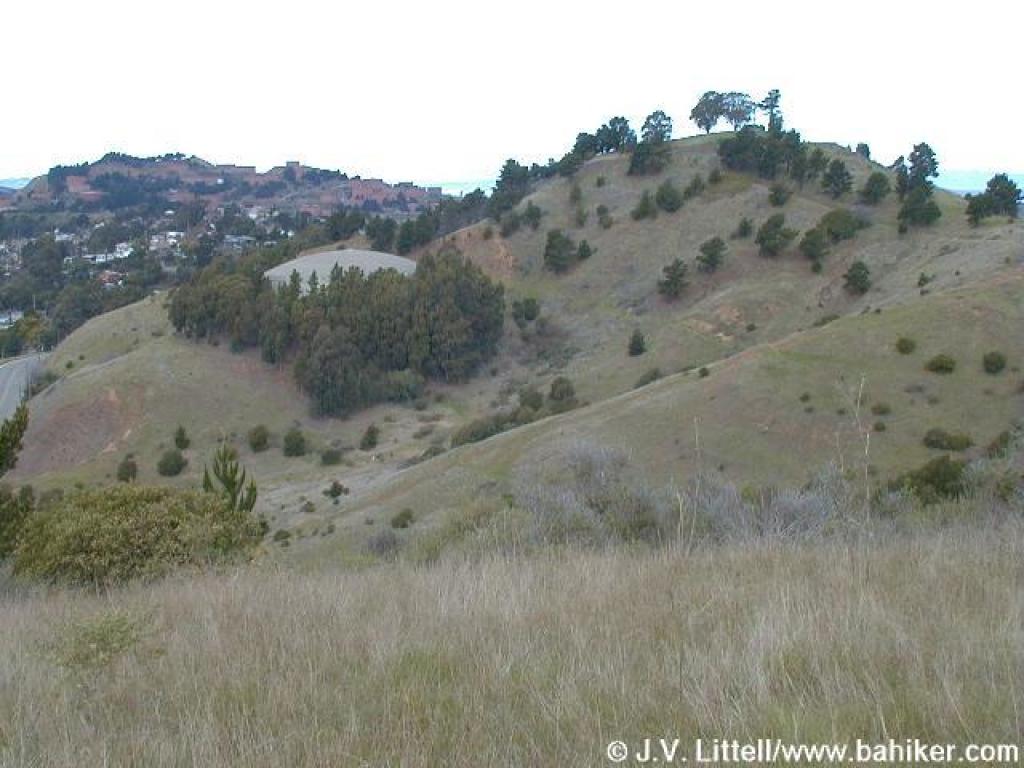 View north |
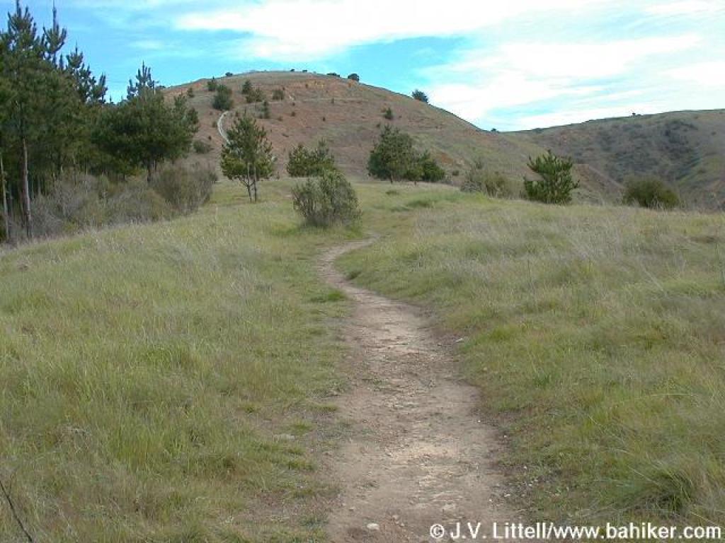
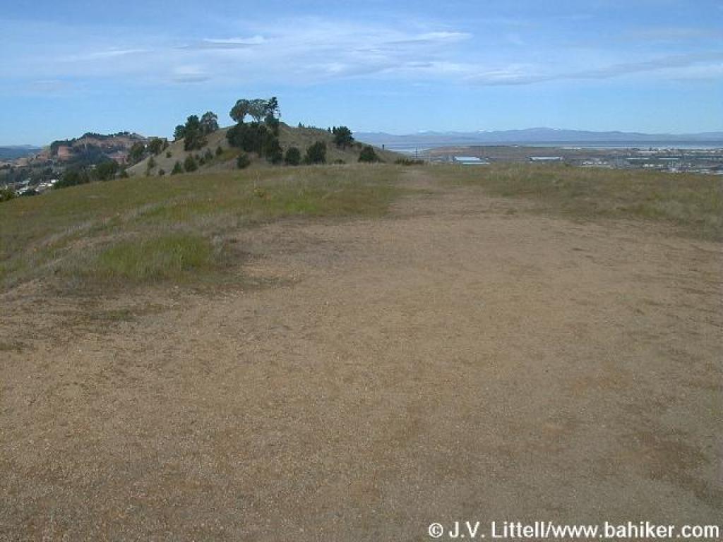
 Continuing an ascent to False Gun Vista Point |
 Bench at junction |
||||
 False Gun Vista Point |
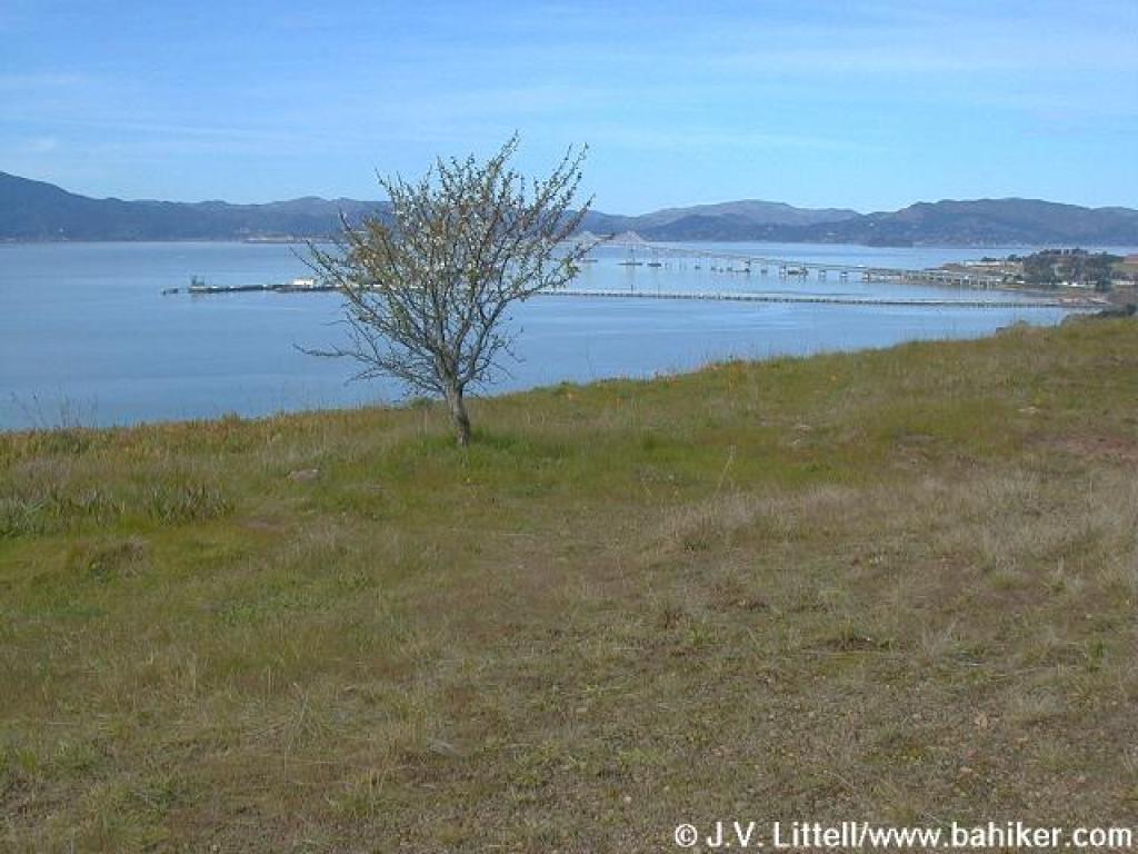 Flowering fruit tree and view |
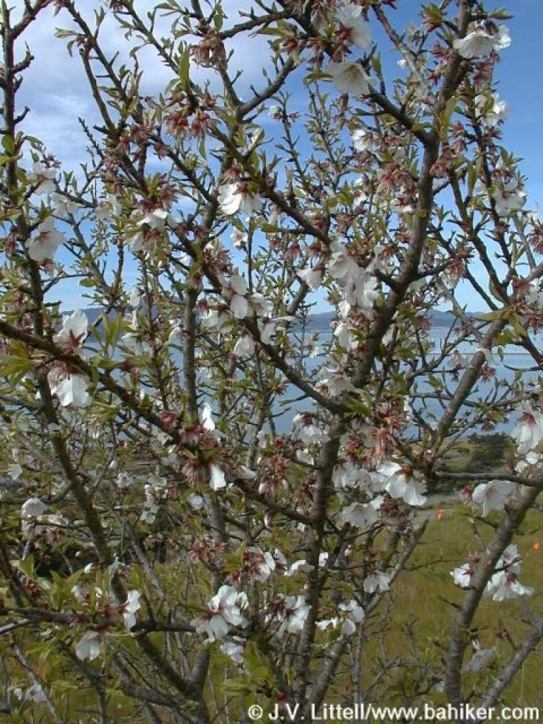 Tree in bloom |
 Heading downhill |
||||
 Steep |
 Junction |
 Marine View Trail |
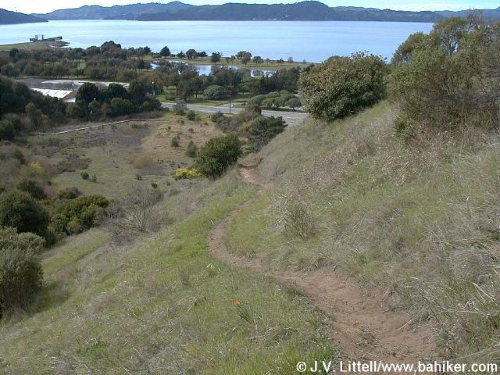
 View back downhill |
||||
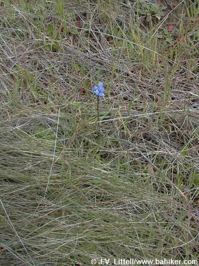 Budding bluedick |
 Approaching junction |
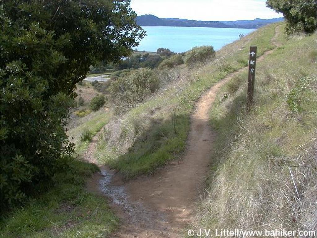 Junction |
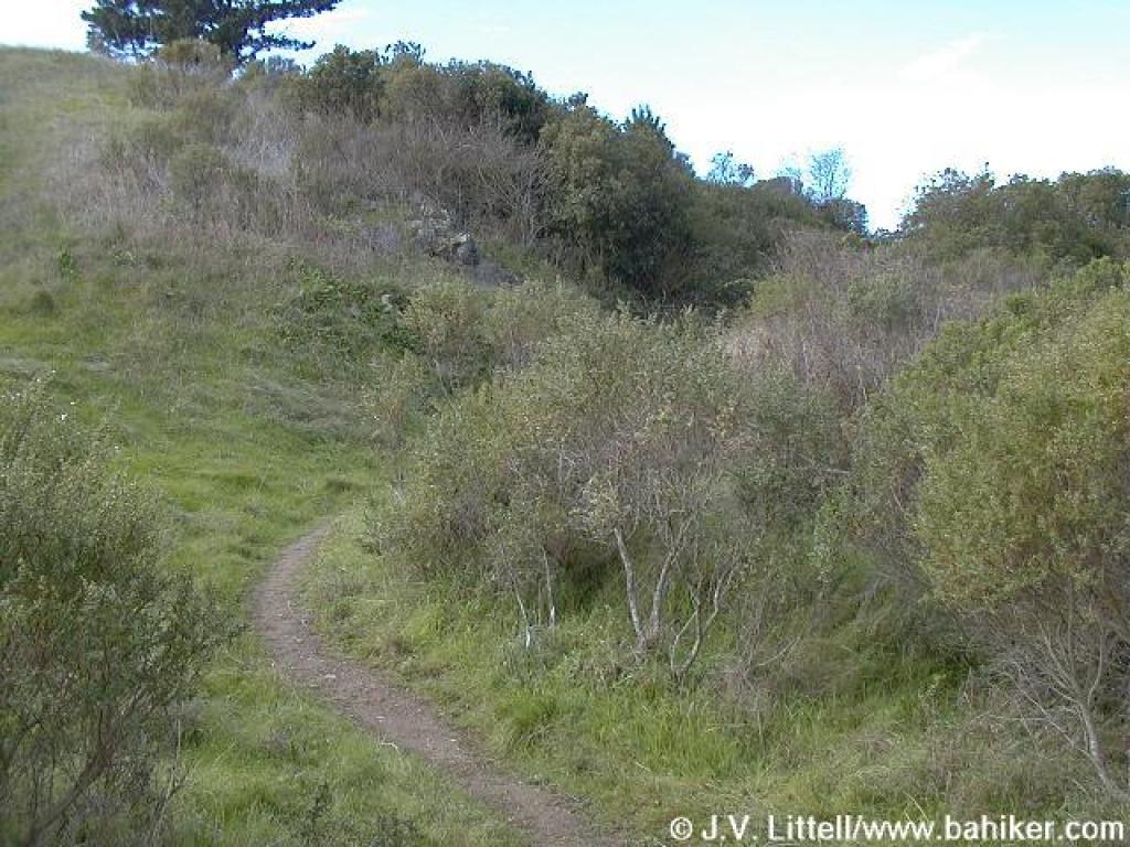
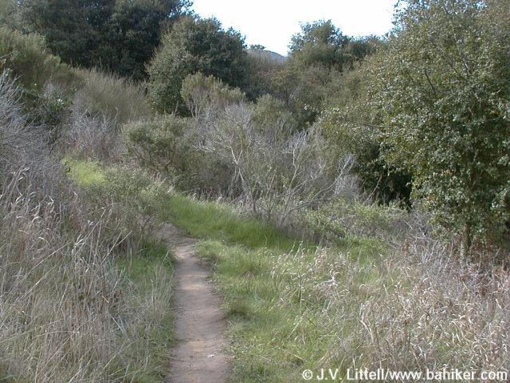
 Descent |
||||
 Easy to miss junction |
 Primitive bridge crosses eroded area |
 Back through toyon, coast live oak, and coyote brush |
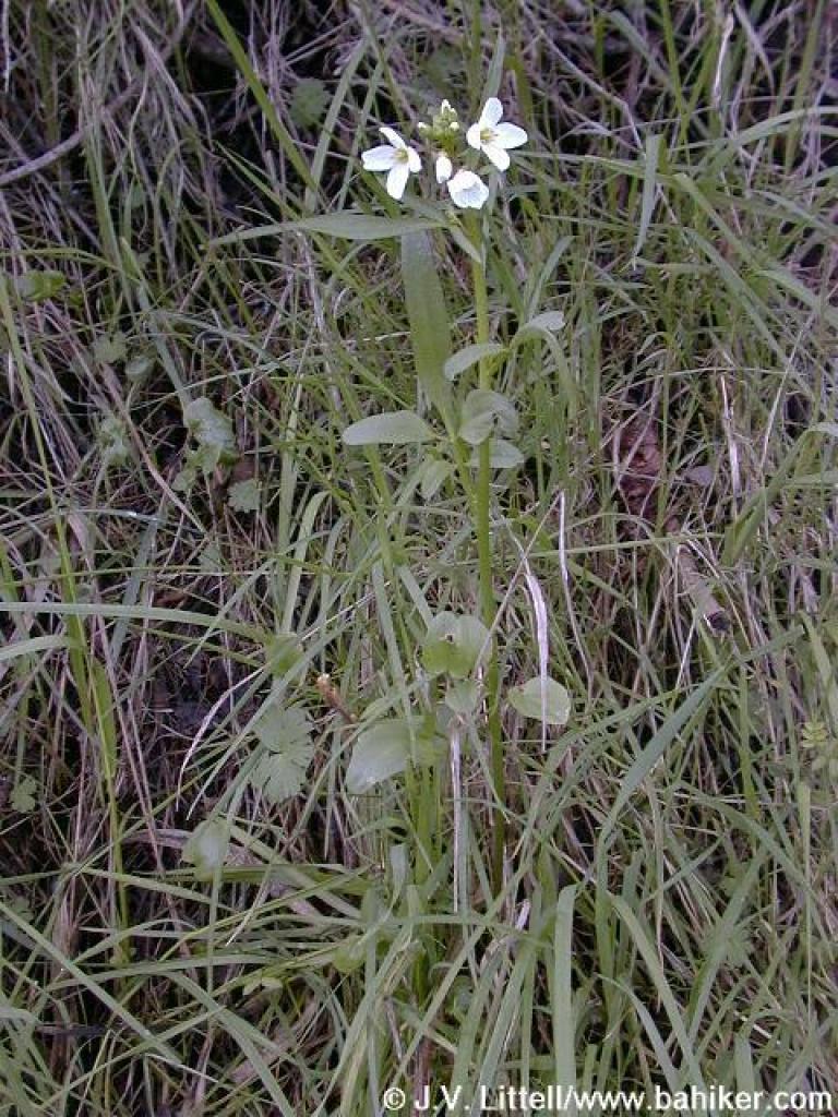 Milkmaids |
||||
 Returning to a previously encountered junction |
Go to Bay Area Hiker Miller/Knox page Go to Bay Area Hiker Miller/Knox Lagoon Area page Go to Bay Area Hiker Home page |
||||||