| Photos
from a July 2002 hike at Oyster Bay Regional Shoreline (click on any image for a larger view) |
|||||||
 Trailhead |
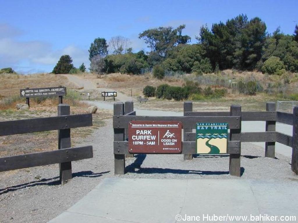 Entrance |
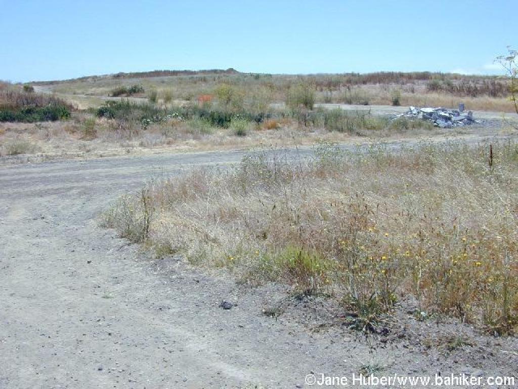
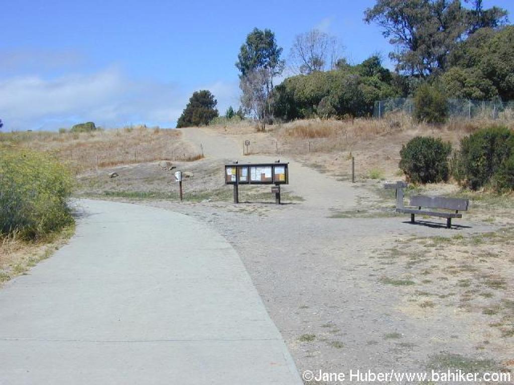 Junction |
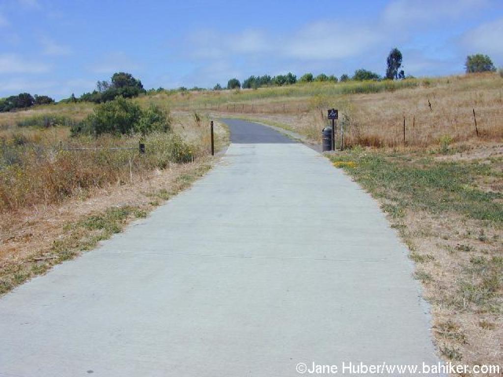 Paved trail |
||||
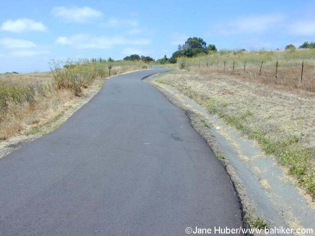 Winding through fennel and grassland |
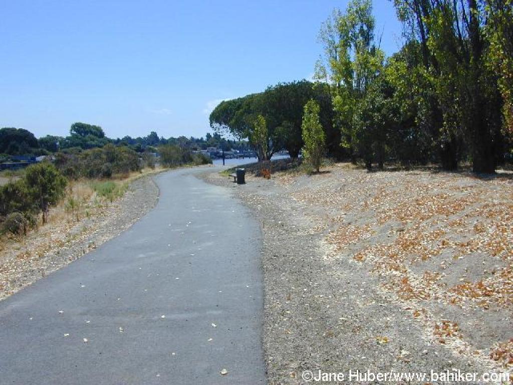 Planted specimens including cottonwood and eucalyptus line the right side of the trail |
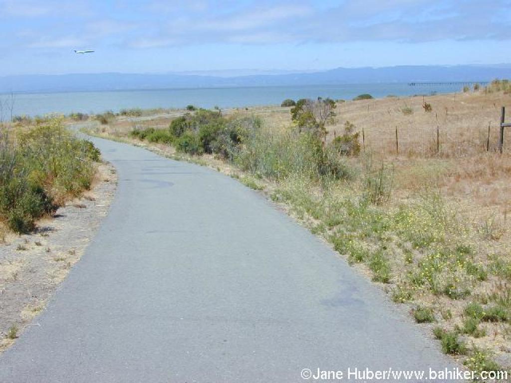 Heading toward the bay |
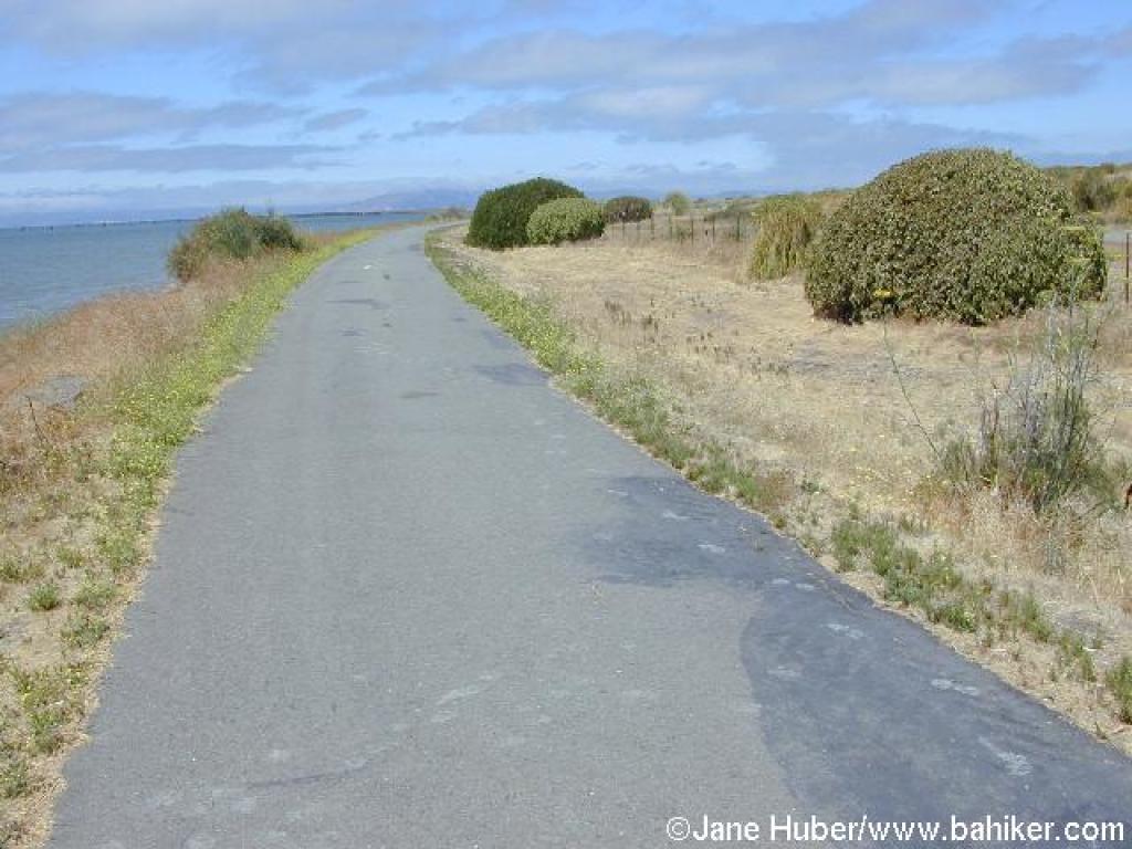 The waterfront trail |
||||
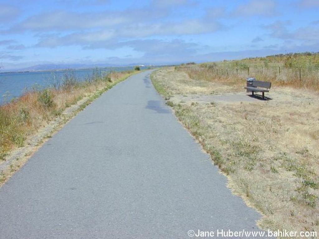 A bench looks west |
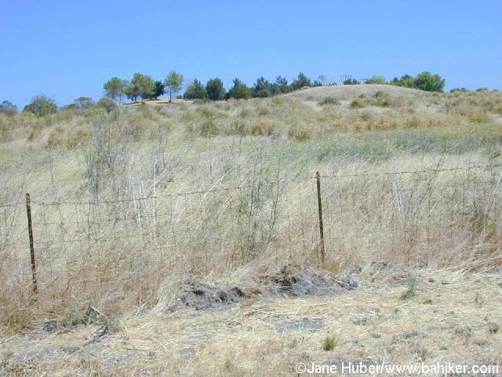 A look to the right, to a hilltop sculpture |
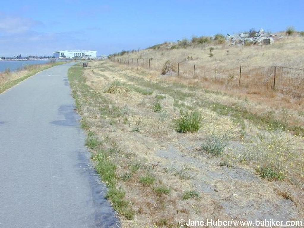 Discarded concrete is visible along the trail |
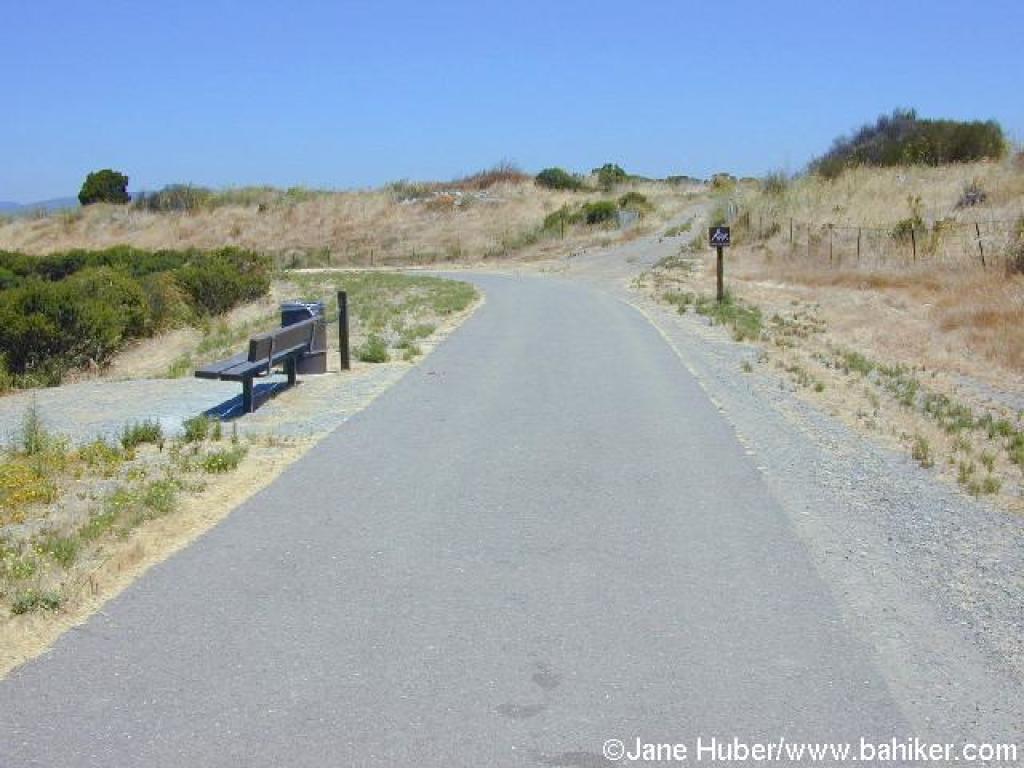 Junction |
||||
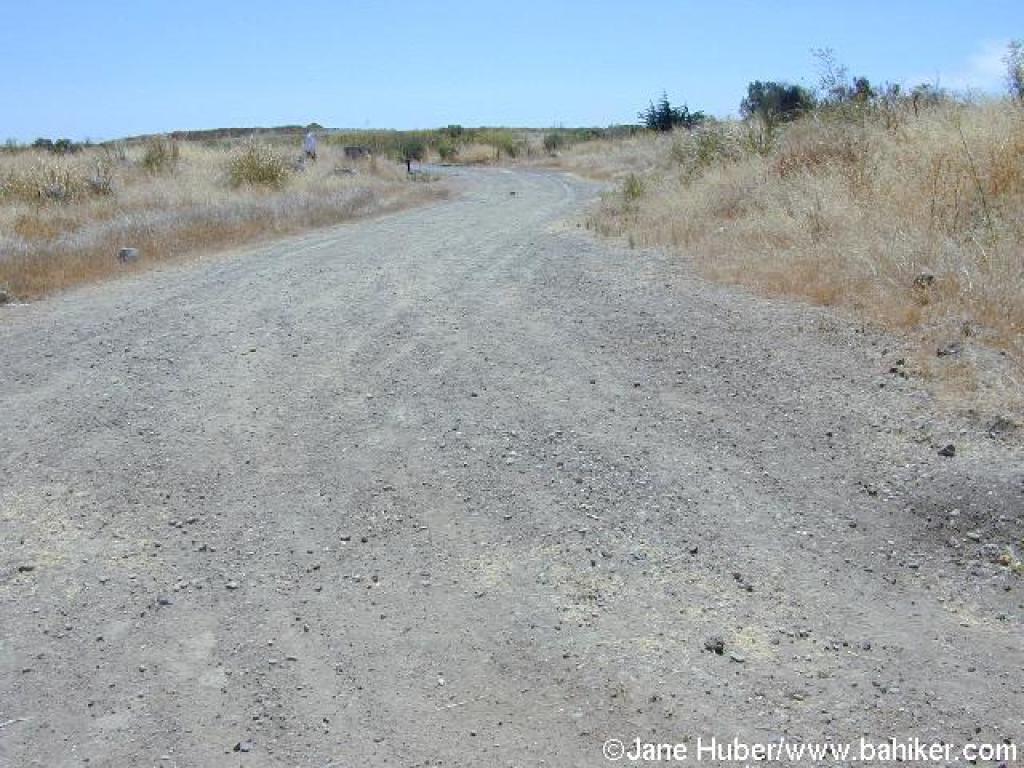 Gravel trail |
 One of many unsigned junctions in the hilltop area |
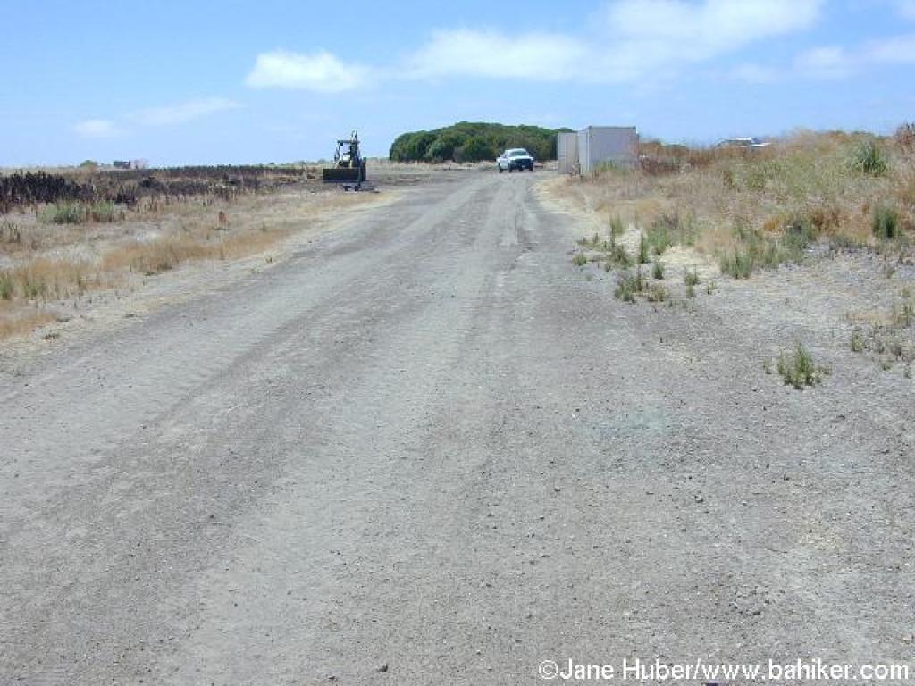 Approaching a work area |
 This feels like trespassing on a construction site |
||||
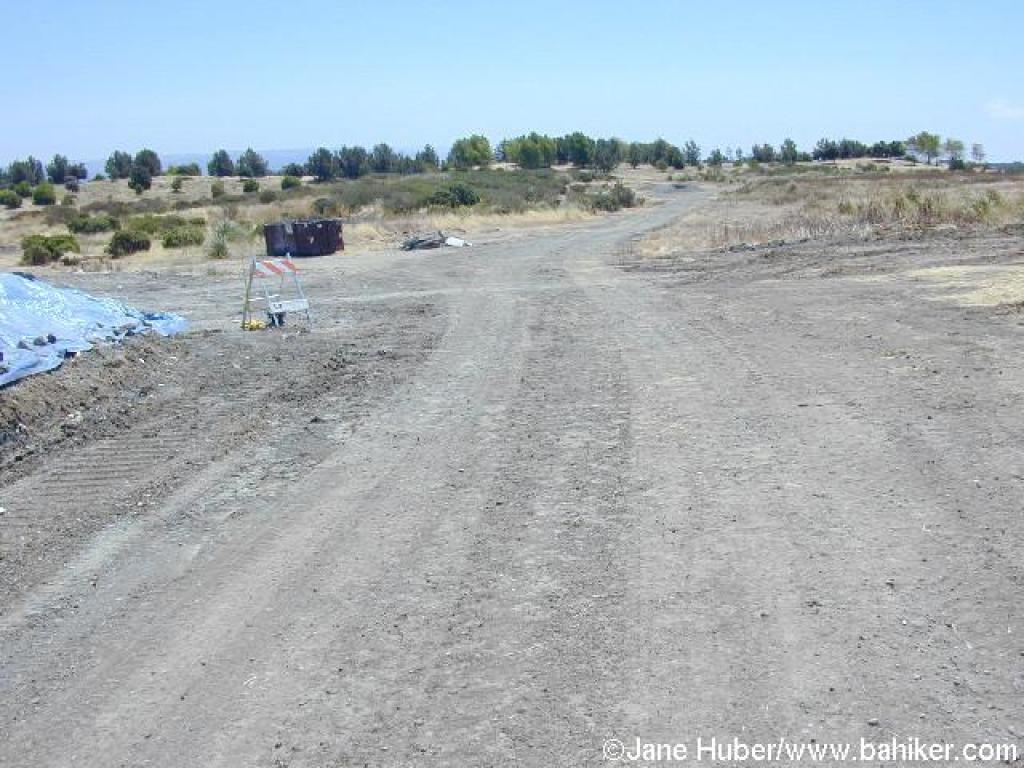
 Junction |
 Trail |
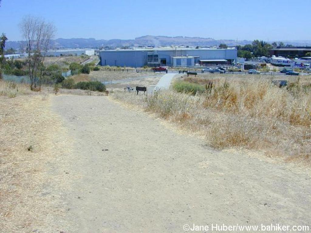
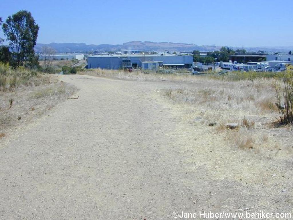 Civilization in sight |
 Returning to the trailhead |
||||
Go to Bay Area Hiker Oyster Bay page Go to Bay Area Hiker Home page |
|||||||