| Photos
from a December 2001 hike at Sibley Volcanic Regional Preserve (click on any image for a larger view) |
|||||||
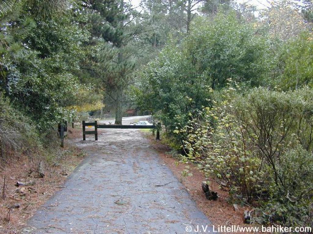
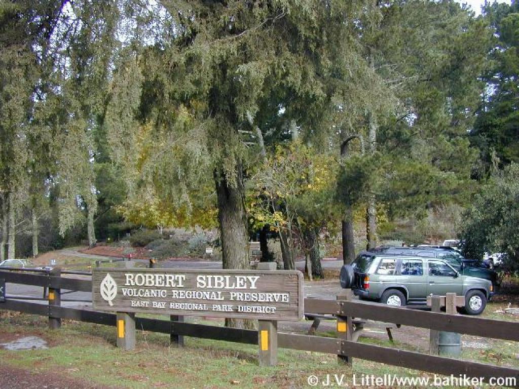 Preserve entrance |
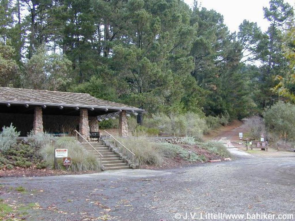 Visitor Center |
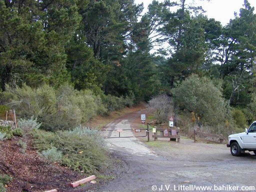 Start |
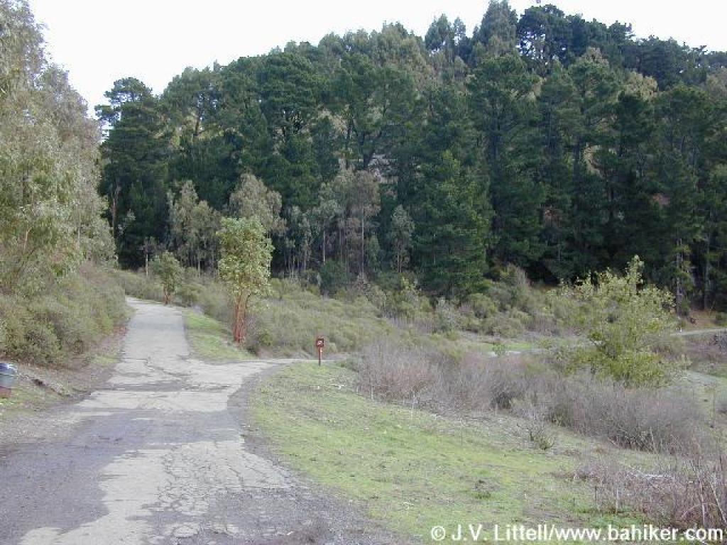
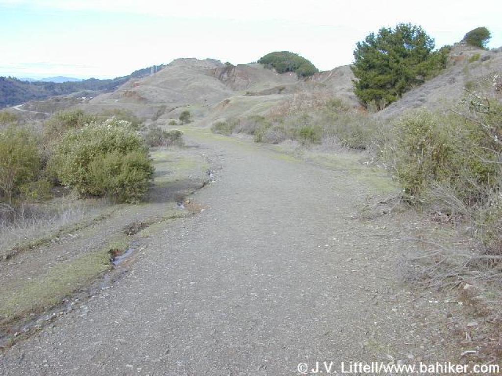
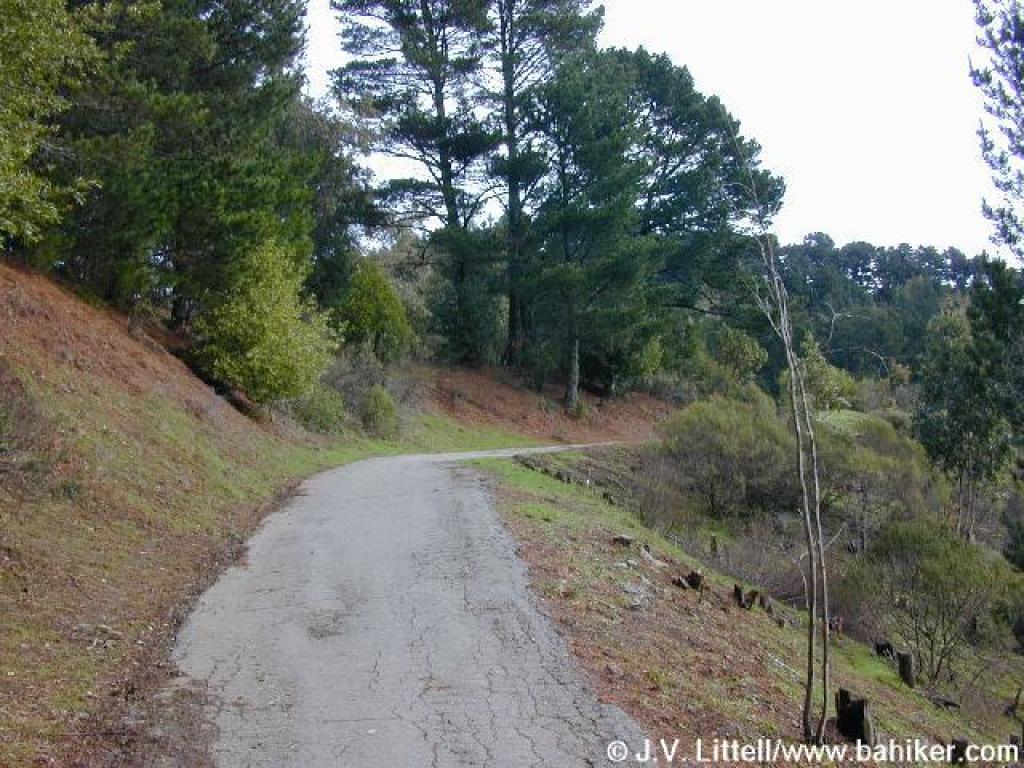 The paved road ascends gently |
||||
 View south |
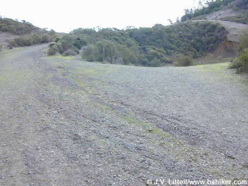
 Approaching a junction |
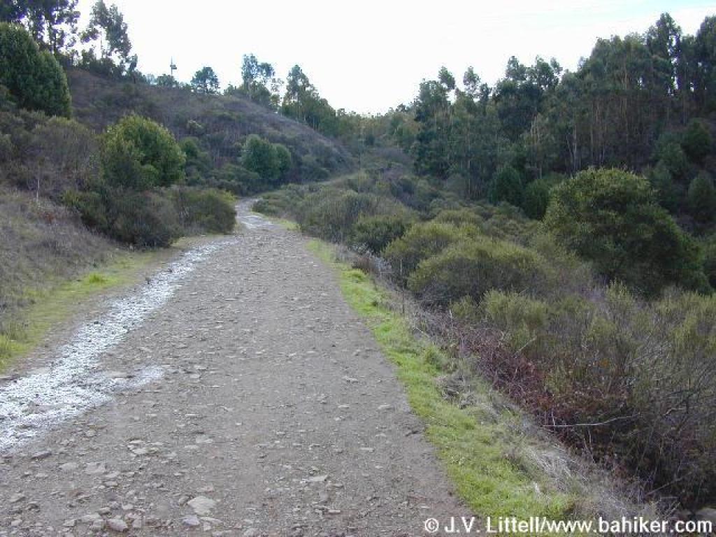
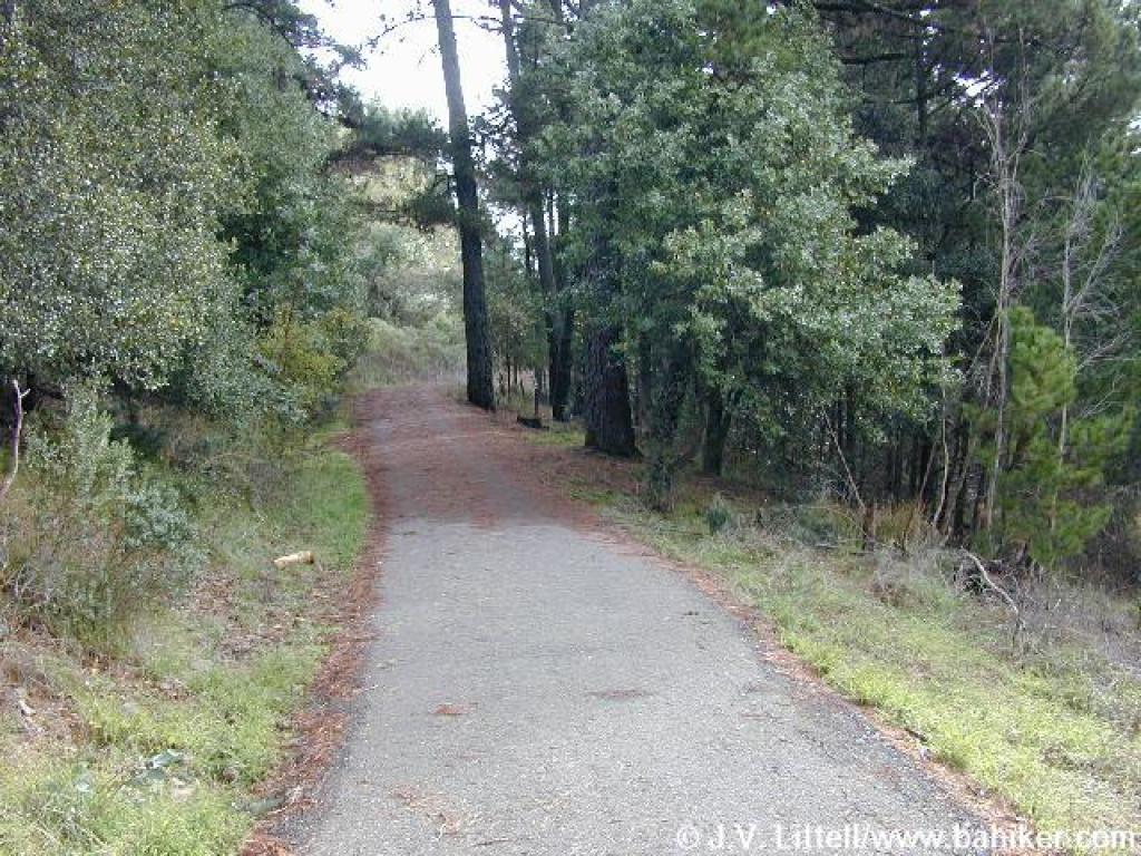 Paved road |
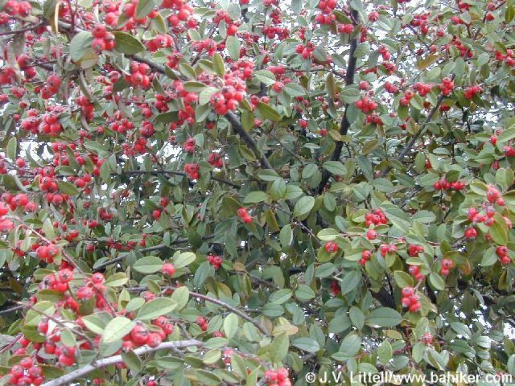
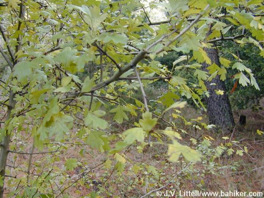 Hawthorn |
||||
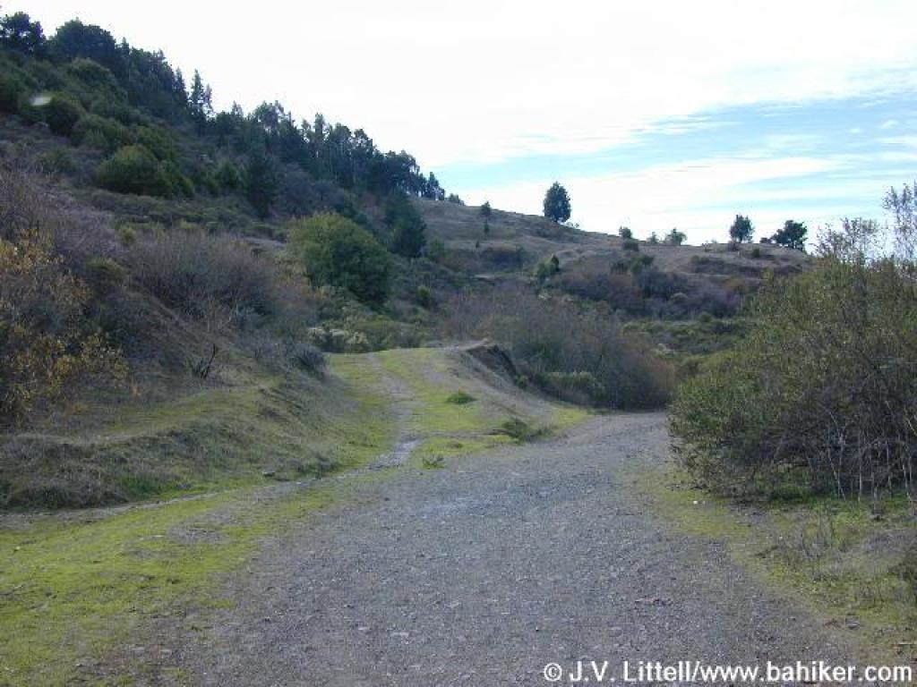
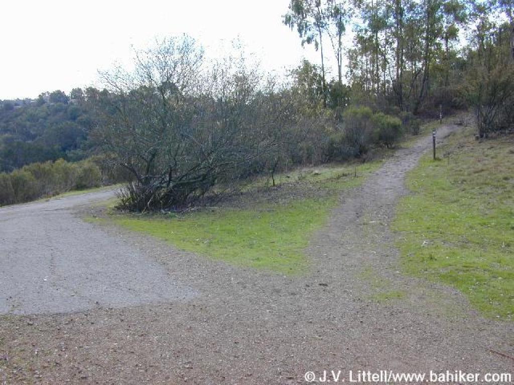
 Junction |
 Round Top Loop Trail |
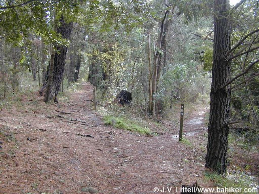 Junction |
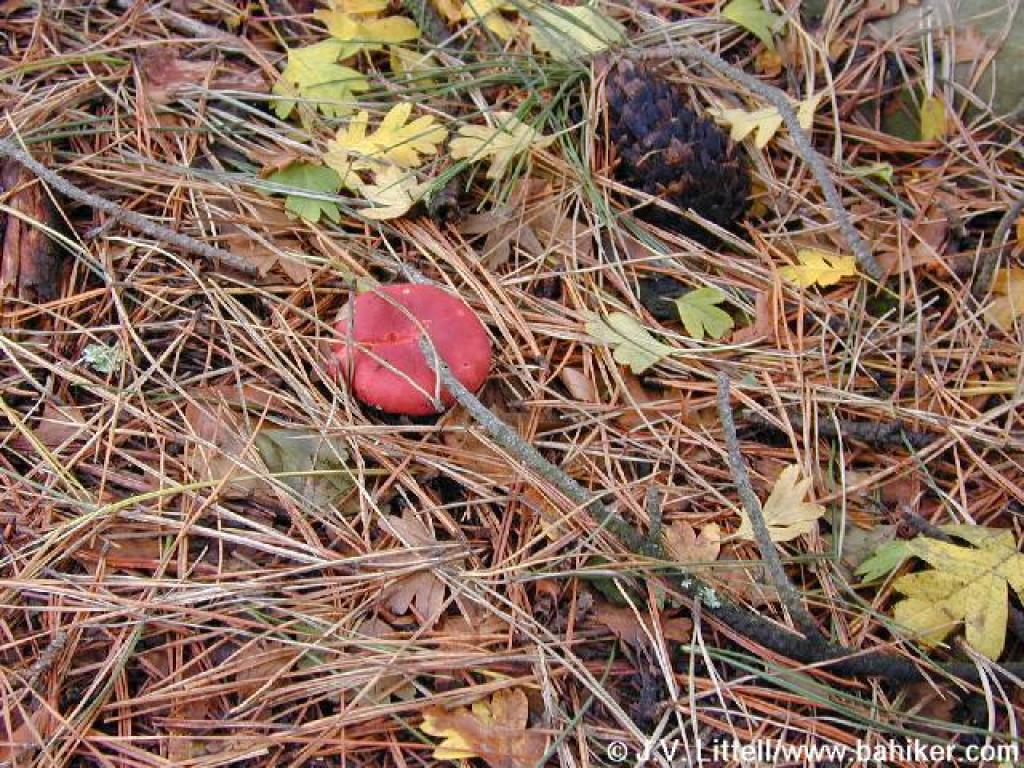 A red mushroom, pine needles, and hawthorn leaves |
||||
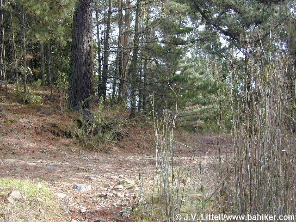 Bear right here |
 Bear left here |
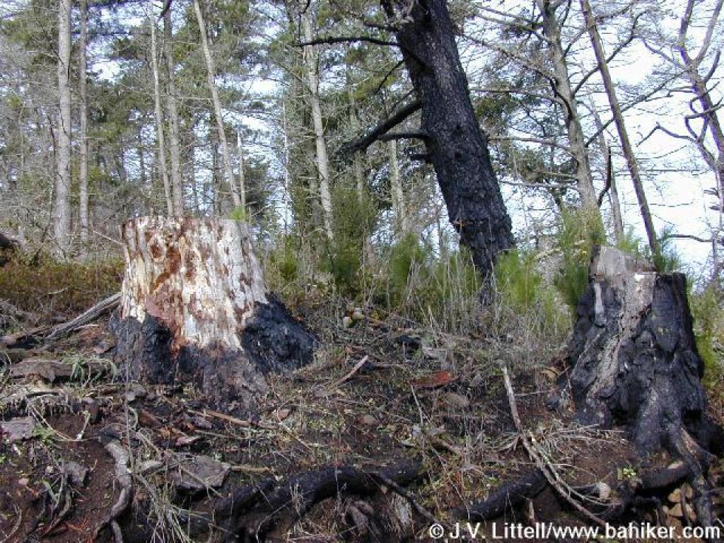 Burned trees on the side of the trail |
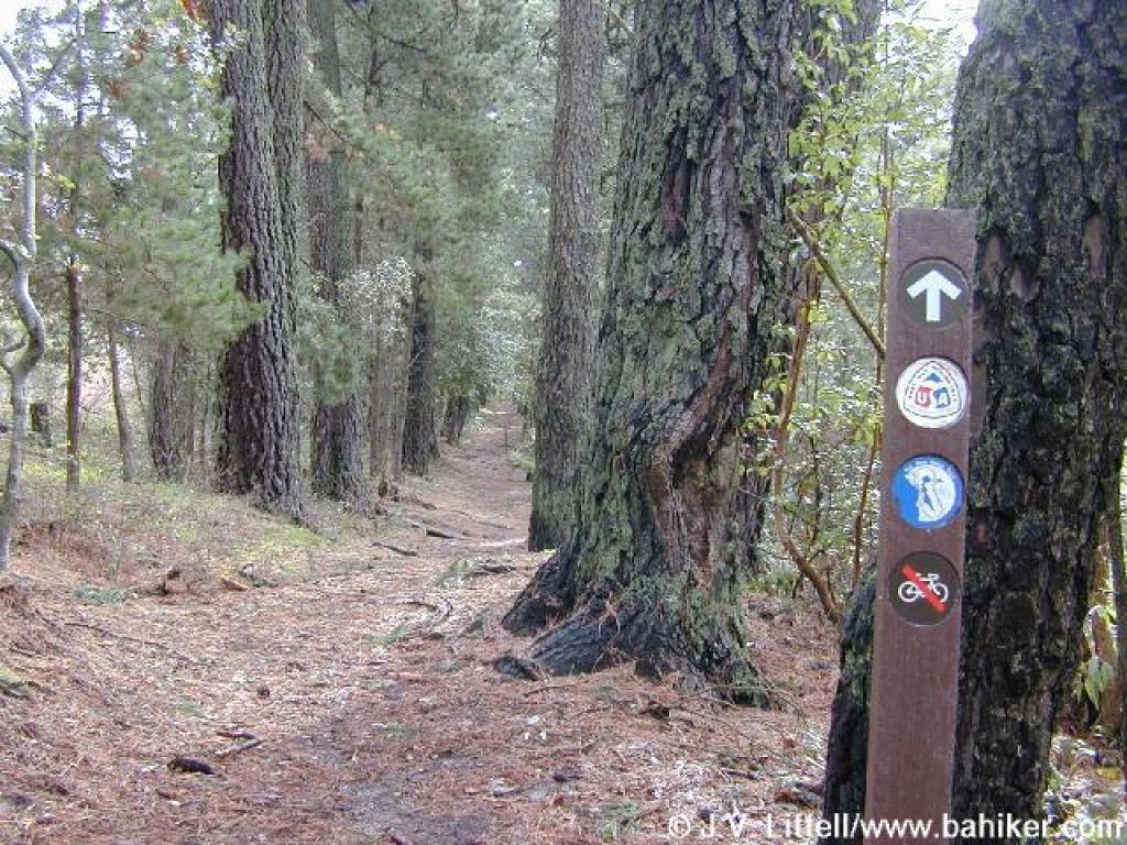
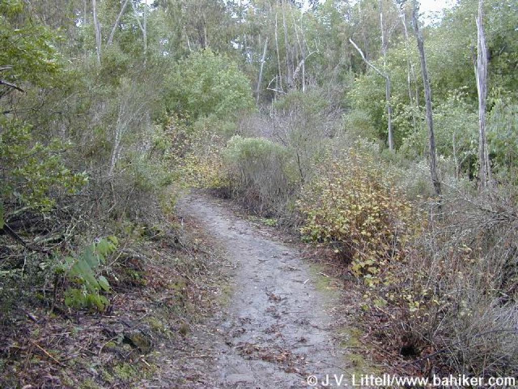
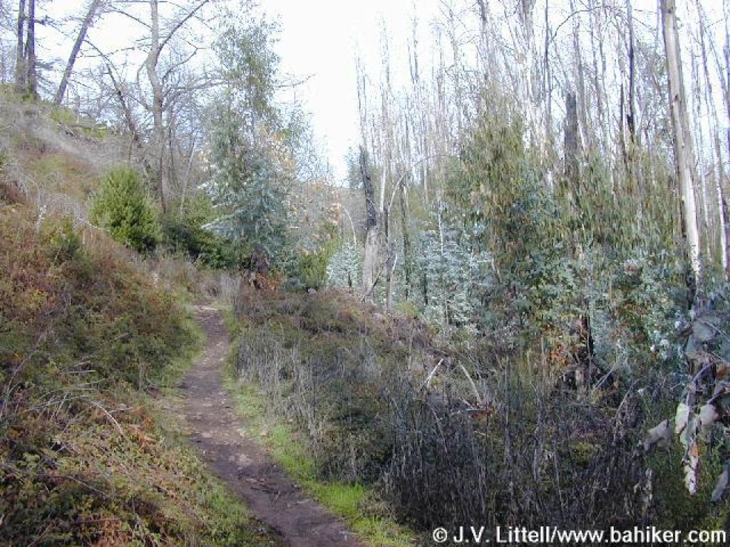 Narrow path |
||||
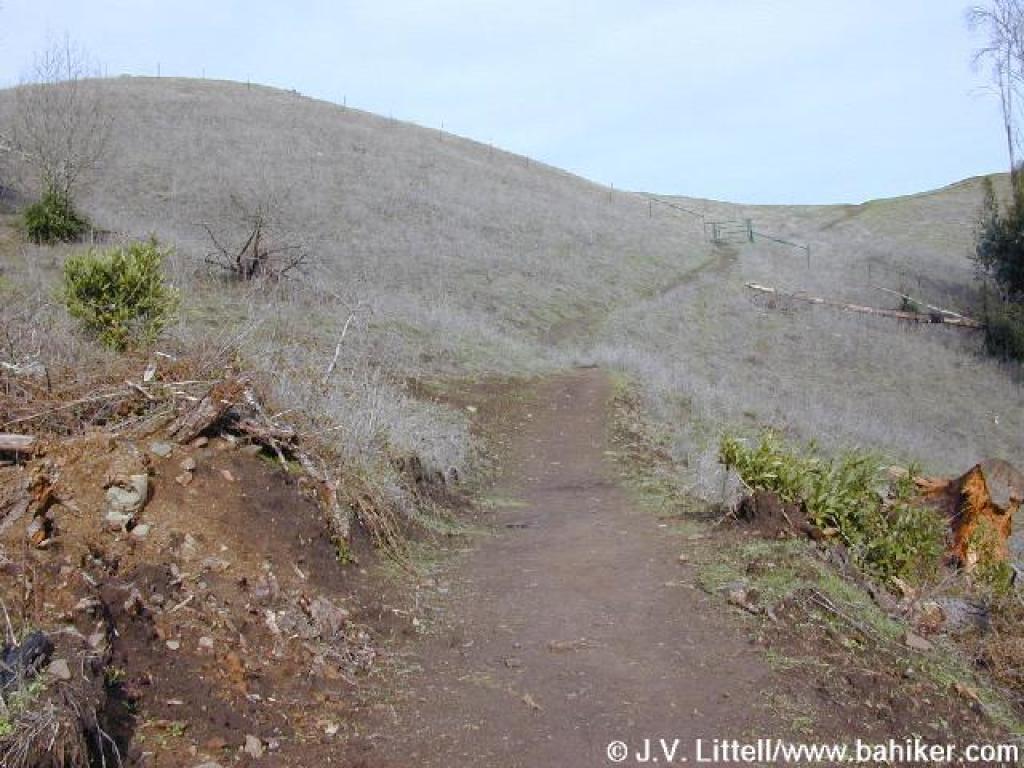
 Short steep stretch |
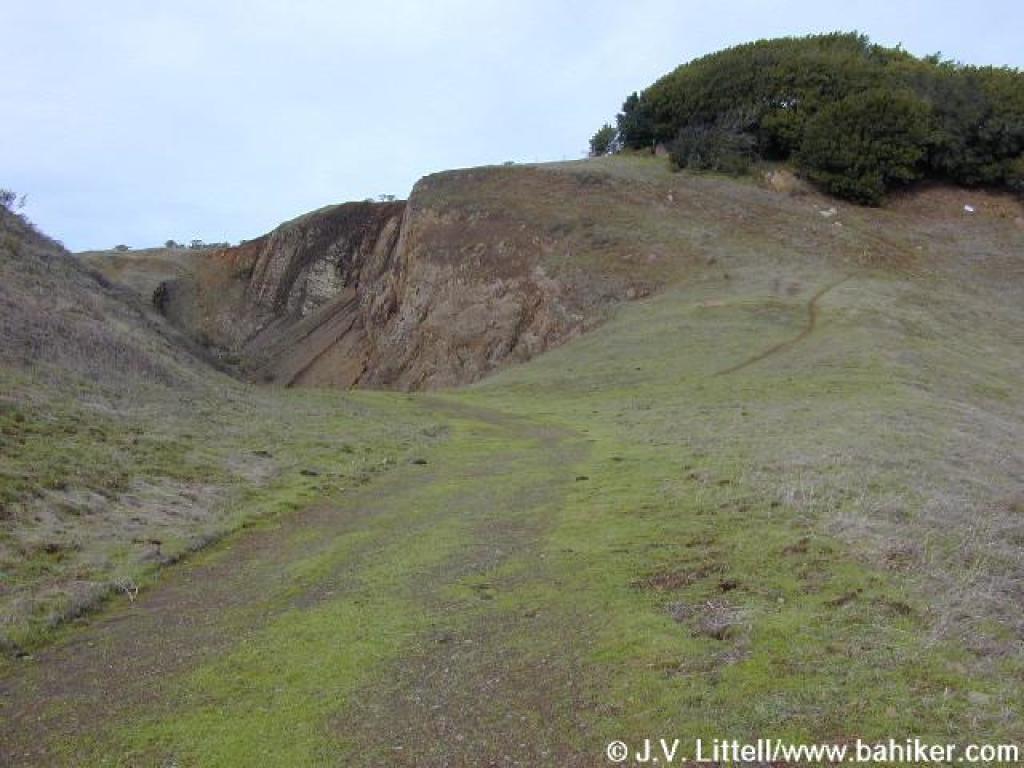
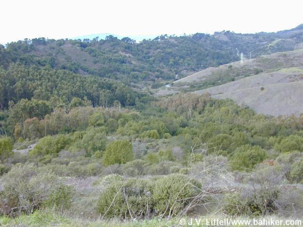
 Grassland |
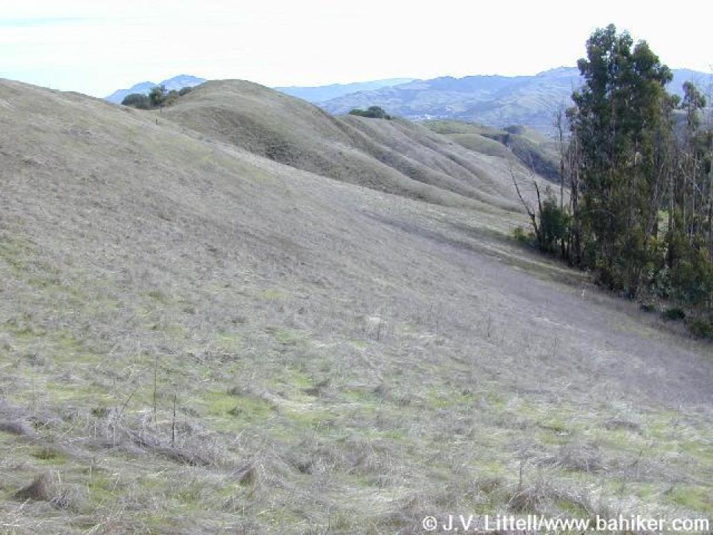 South |
 View south to Mount Diablo |
||||
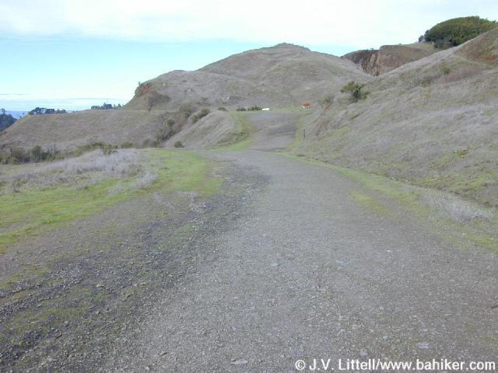
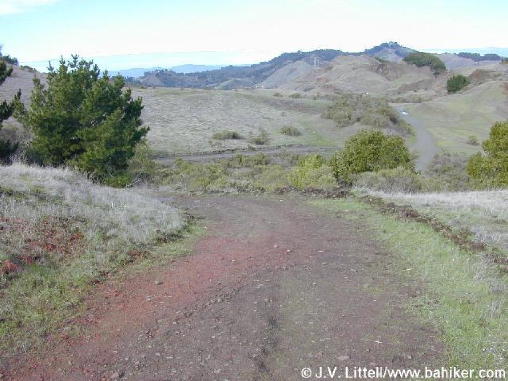 Round Top Loop Trail |
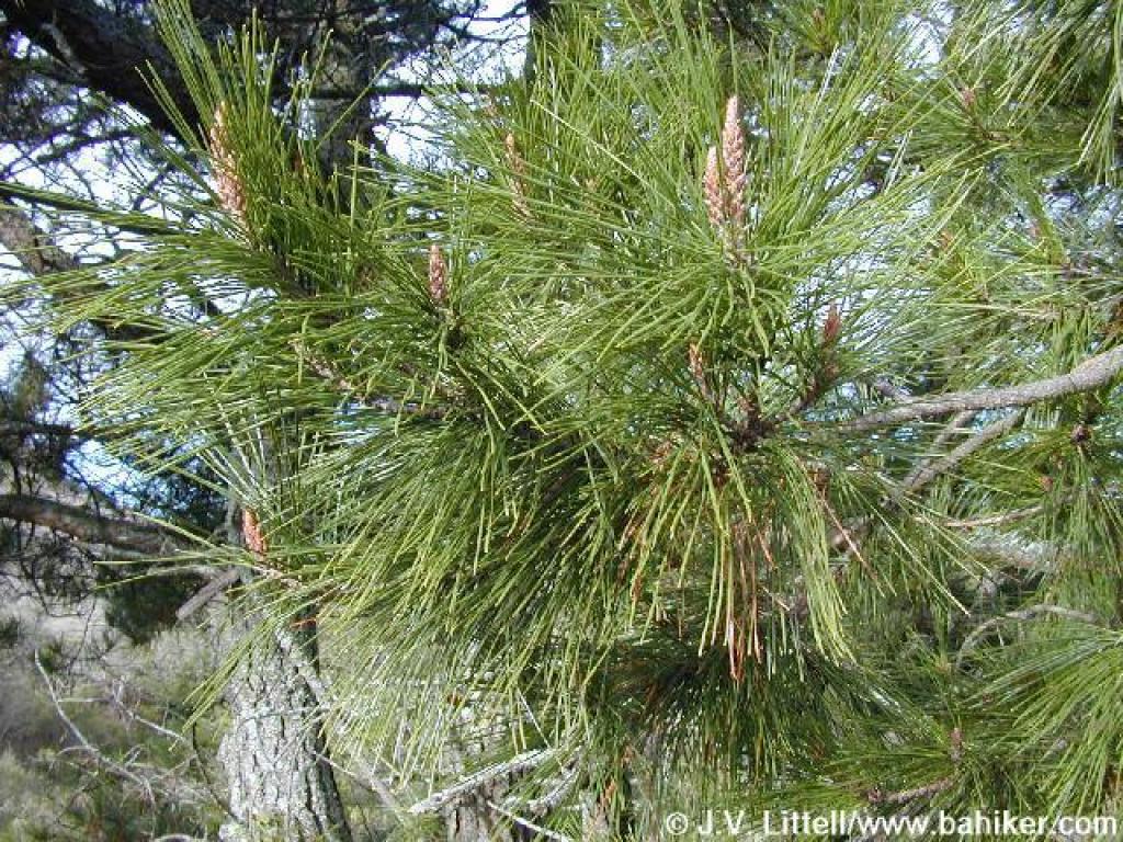 Monterey pine |
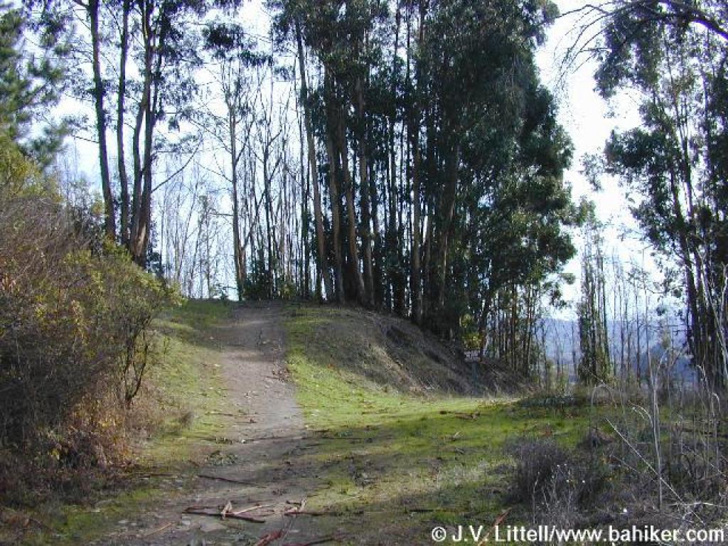
 Descending |
 Junction |
||||
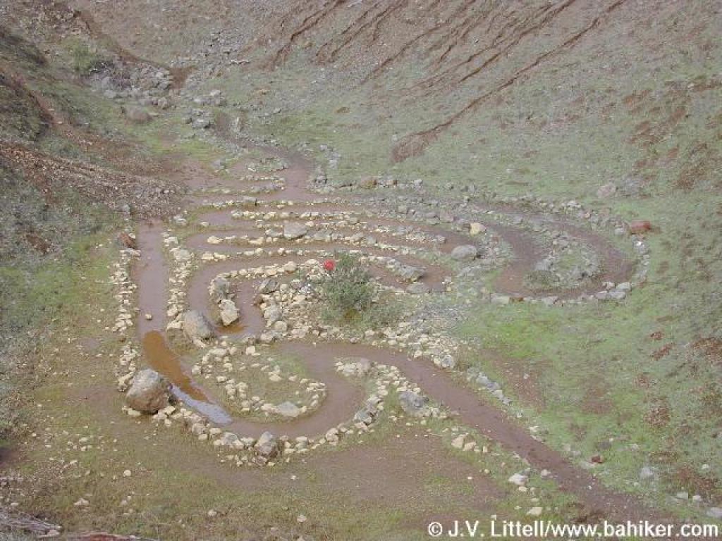
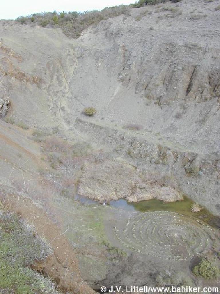 Labyrinth |
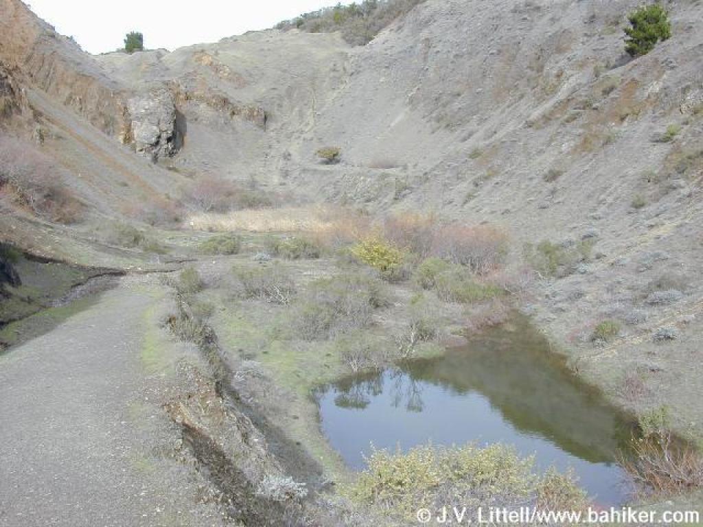 Quarry floor, flooded by autumn rain |
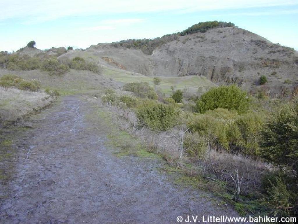
 Round Top Loop Trail |
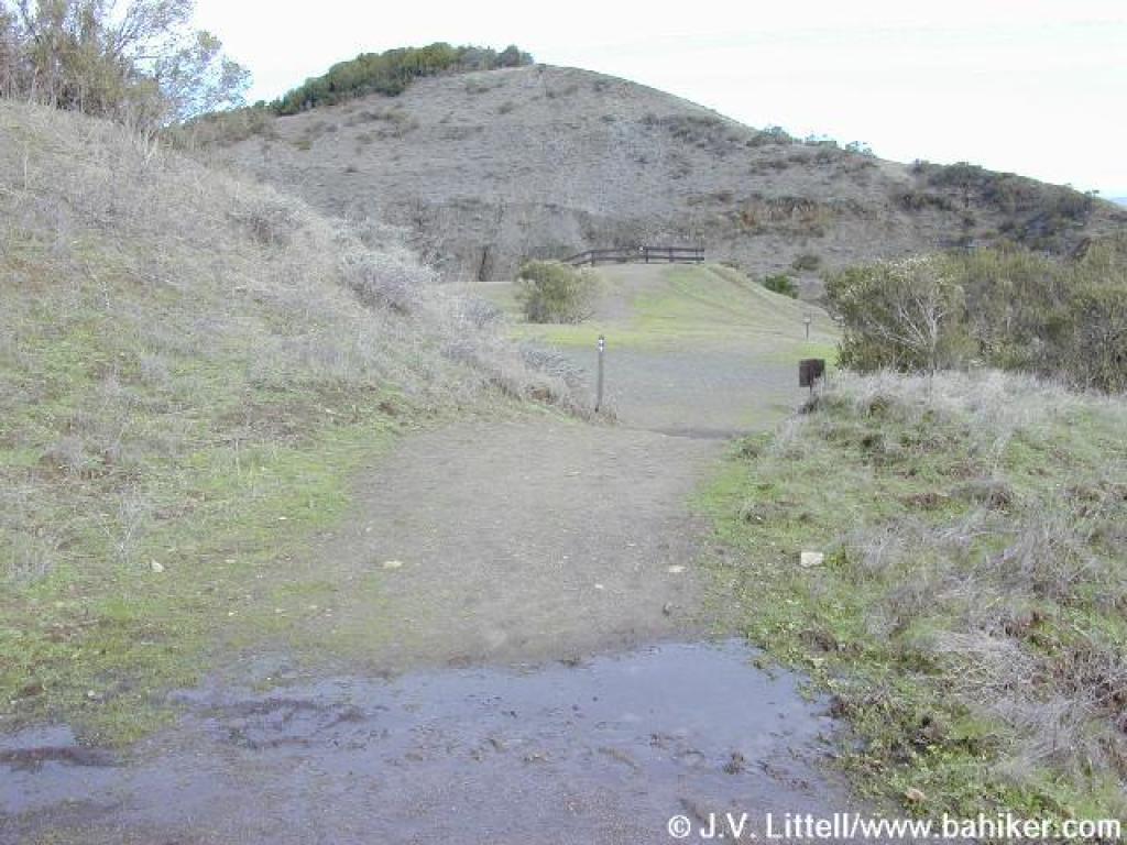
 Junction |
||||
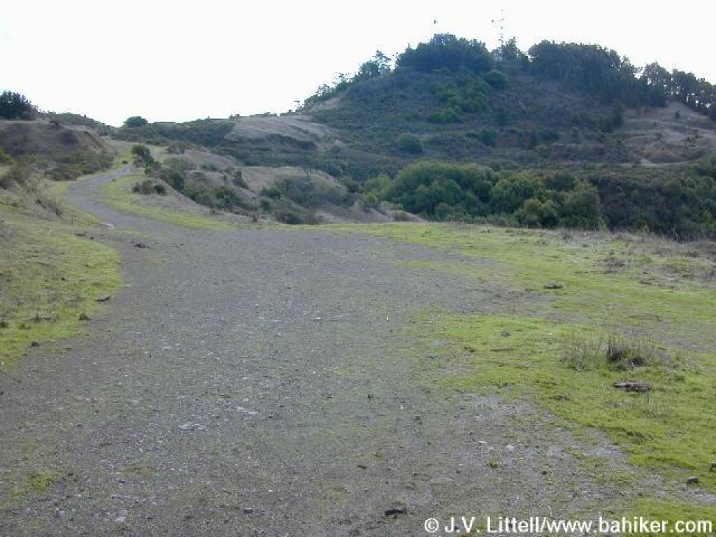
 Volcanic Trail |
 Junction |
 Path to second labyrinth |
 View east: snow topped Sierra peaks were visible |
||||
 Labyrinth |
 Cow with a handle-shaped horn |
 Returning on Volcanic Trail |
 Junction |
||||
 Round Top Loop Trail |
 Cotoneaster |
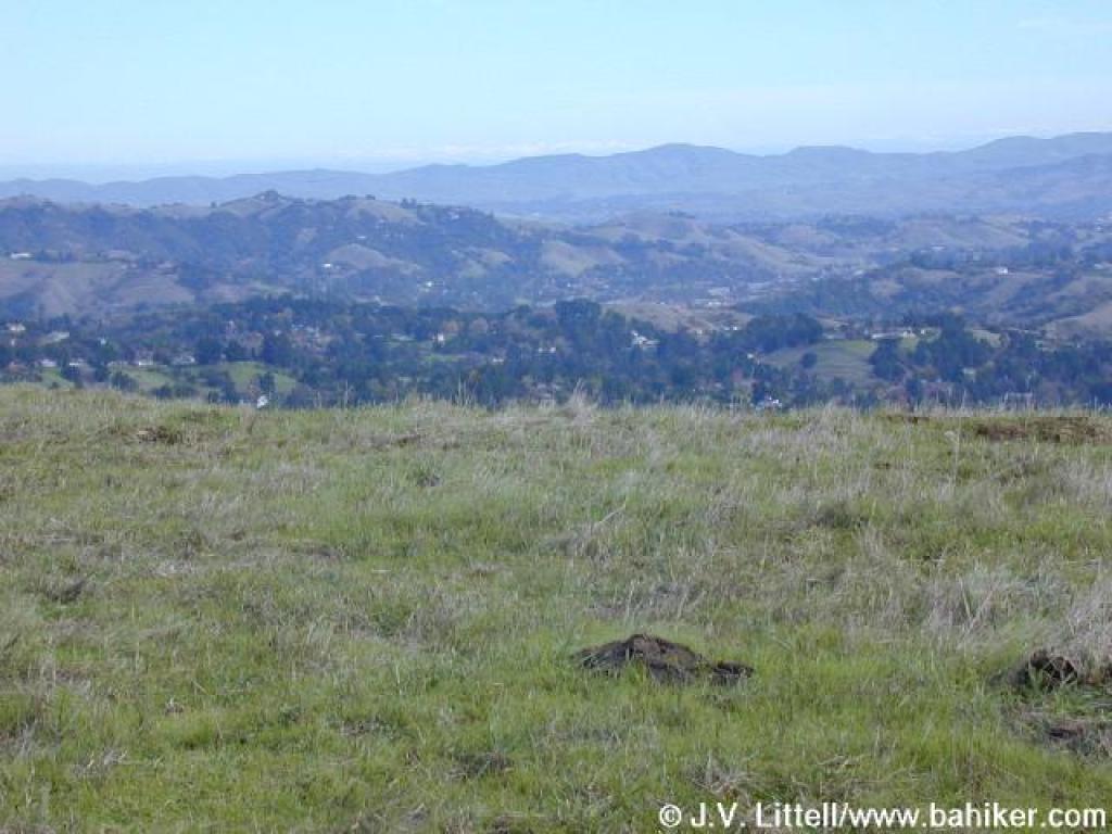
 View north |
 Round Top Loop Trail |
||||
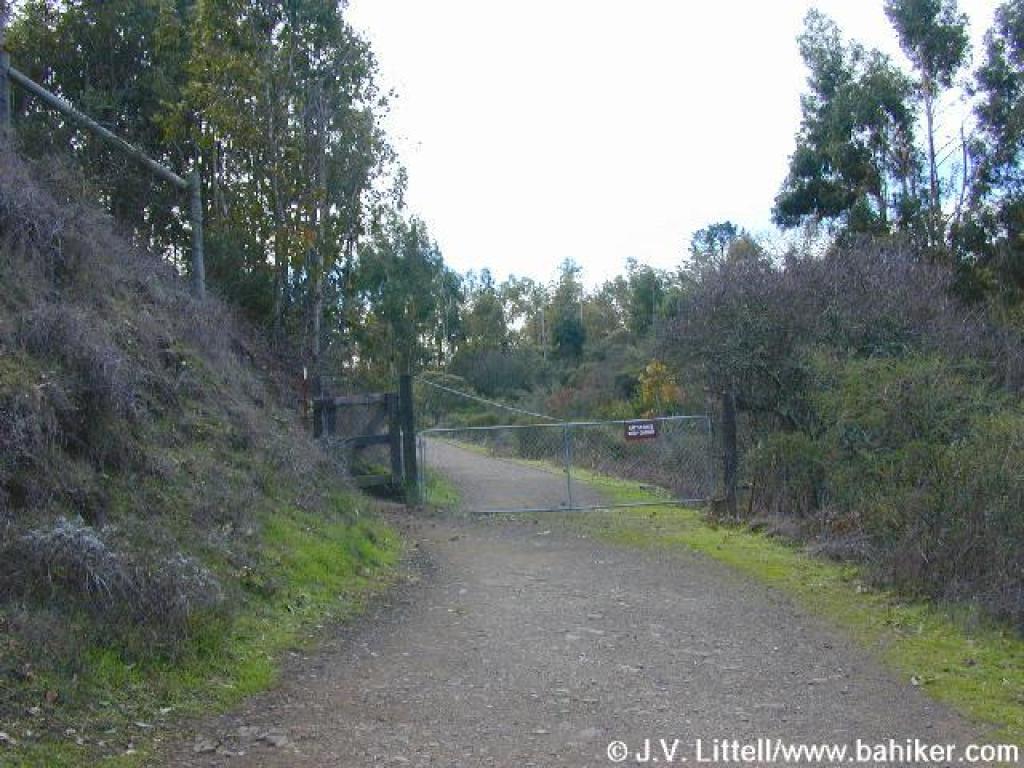 Cattle gate |
 Junction |
 Path heading back to trailhead |
 Currant bushes line the trail |
||||
 Currant |
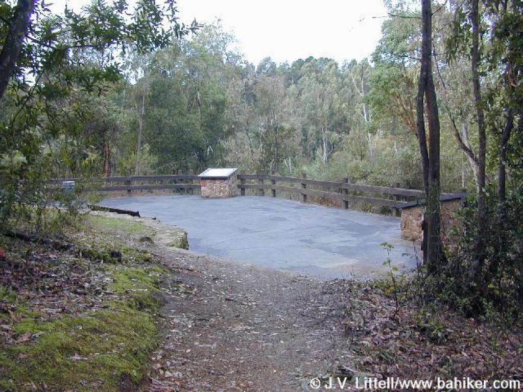 Paved interpretive area |
 Paved trail |
 End of the trail |
||||
Go to Bay Area Hiker Sibley page Go to Bay Area Hiker Home page |
|||||||