| Photos
from Sobrante Ridge Regional Preserve (click on an image for a larger view) |
|||||||
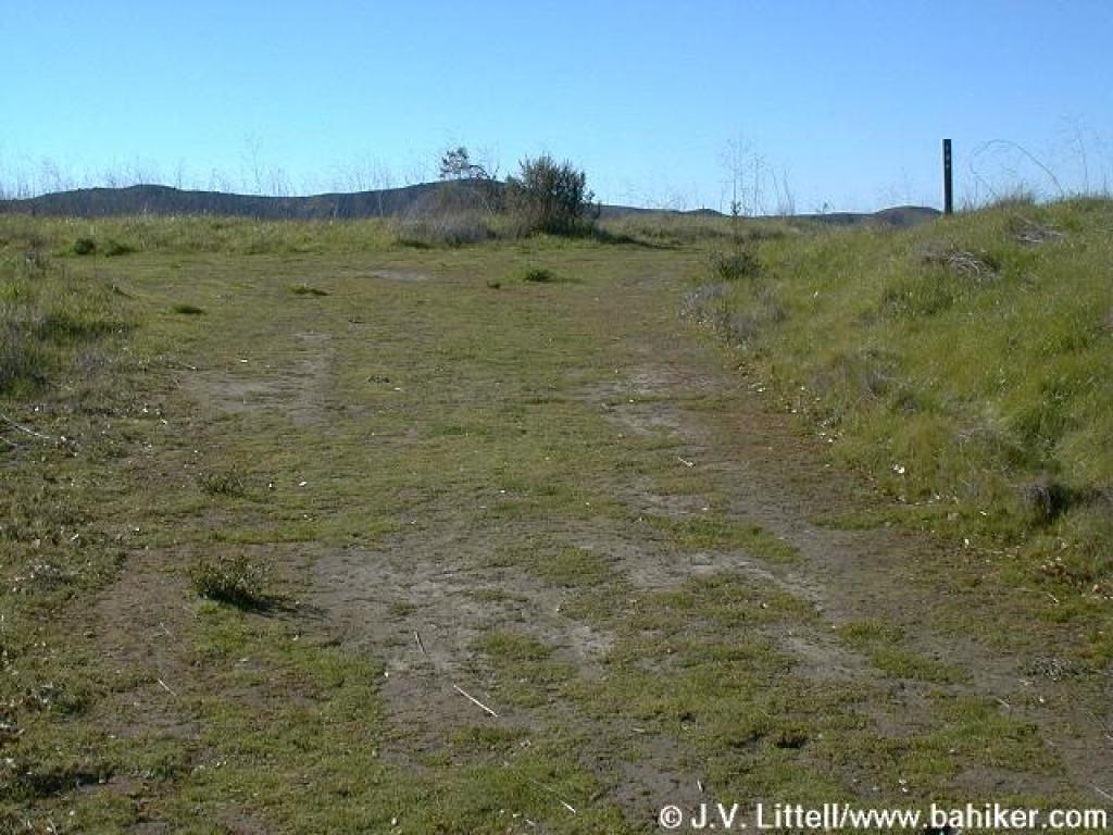
 Entrance to the parking lot at the end of Coach Drive |
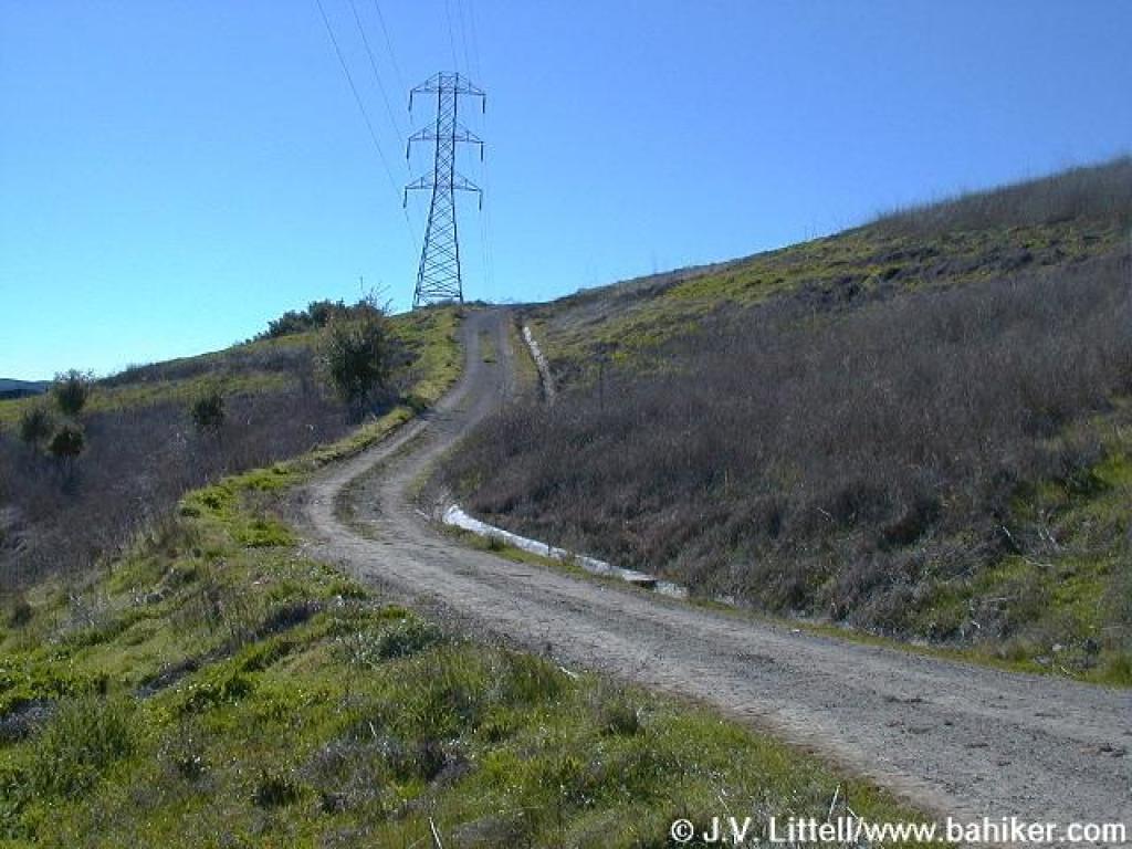
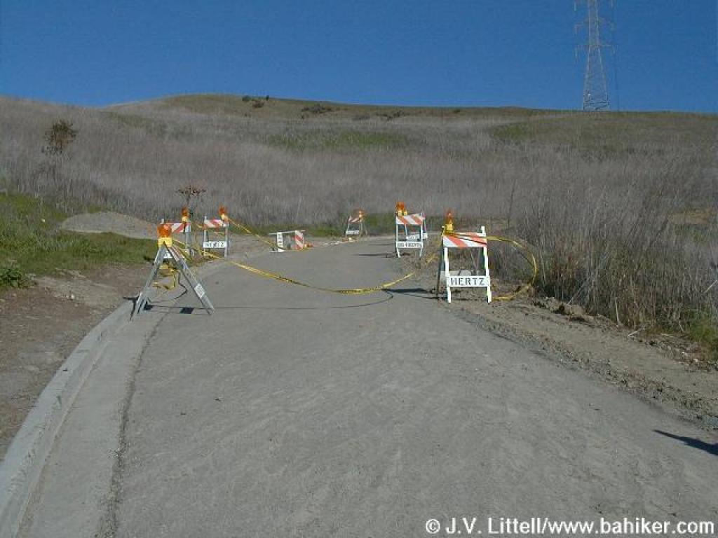 Paved road accesses EBMUD lands |
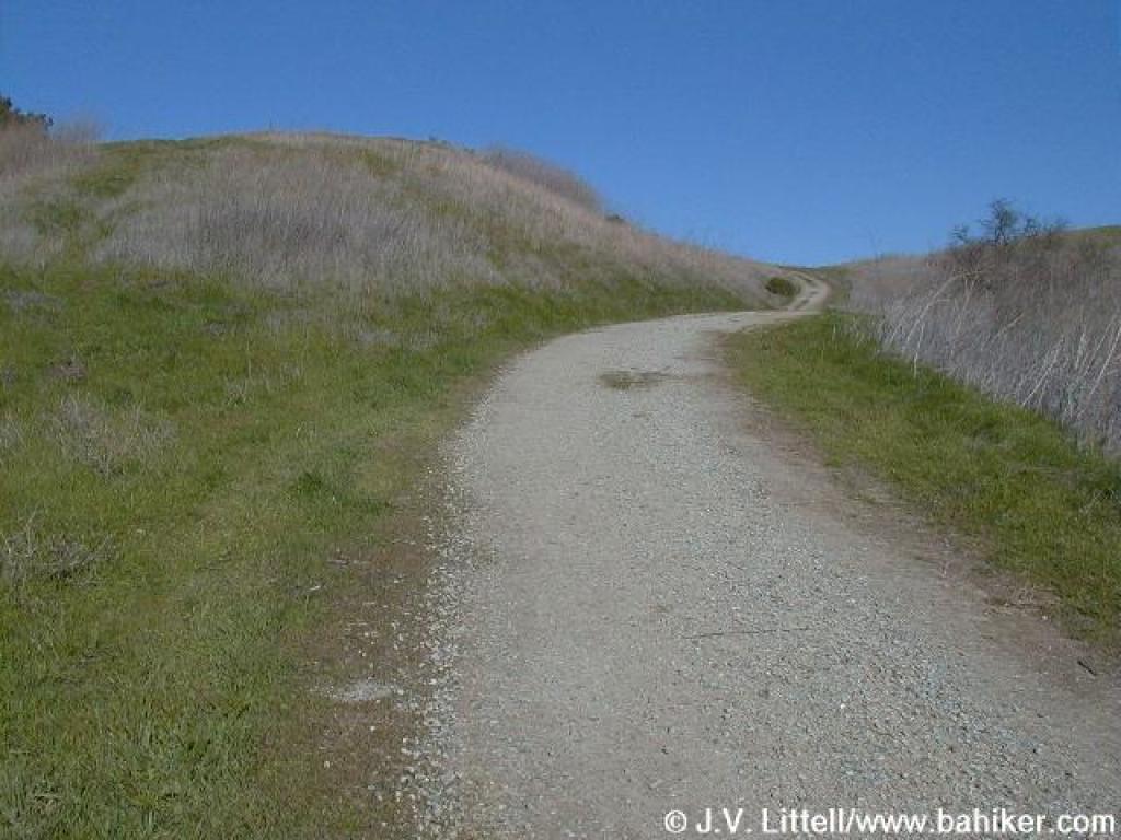
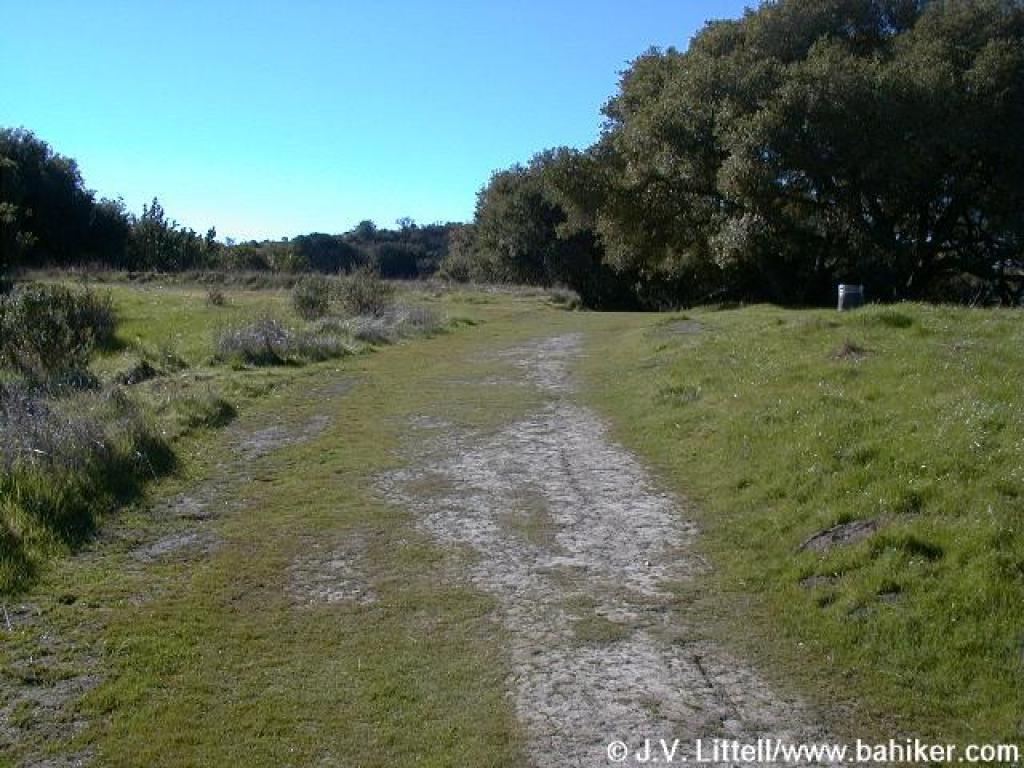
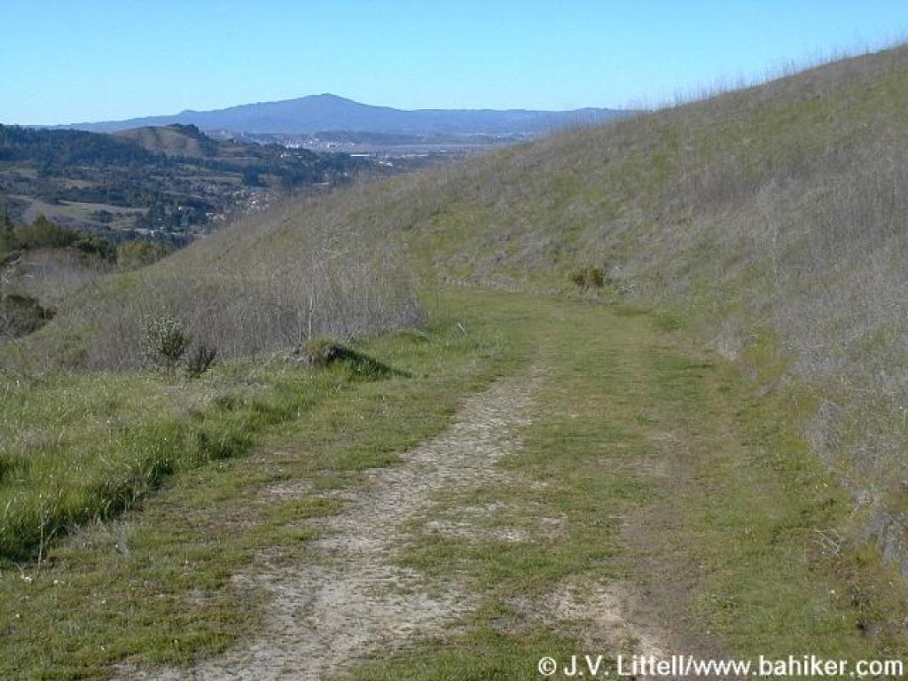
 Sobrante Ridge Trail |
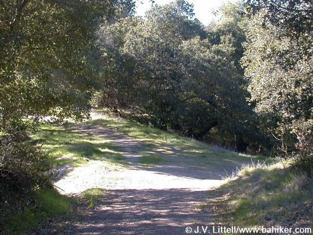
 Trail makes a short climb to ridge |
||||
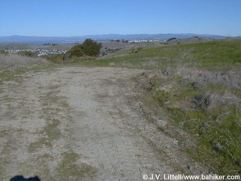 Nice views north at a crest |
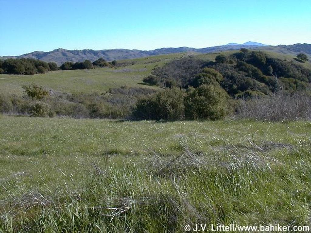
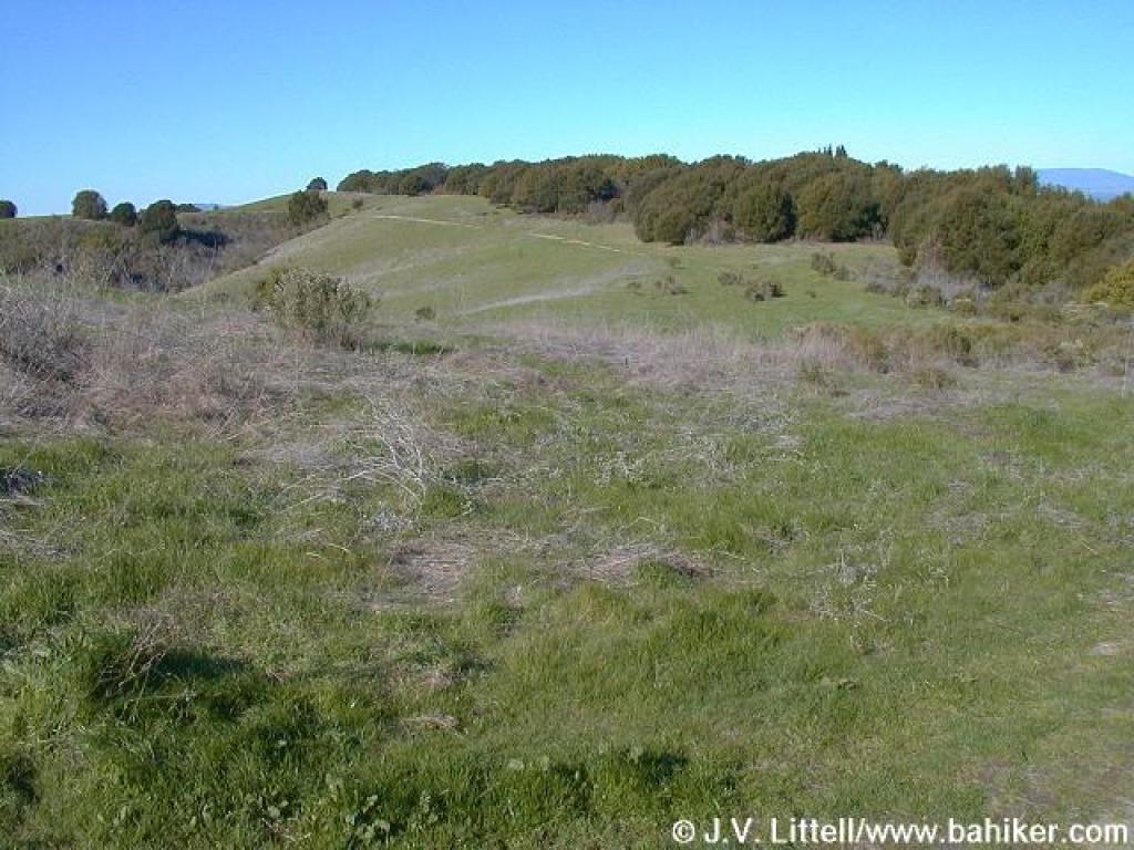 Sobrante Ridge Trail curves around a canyon |
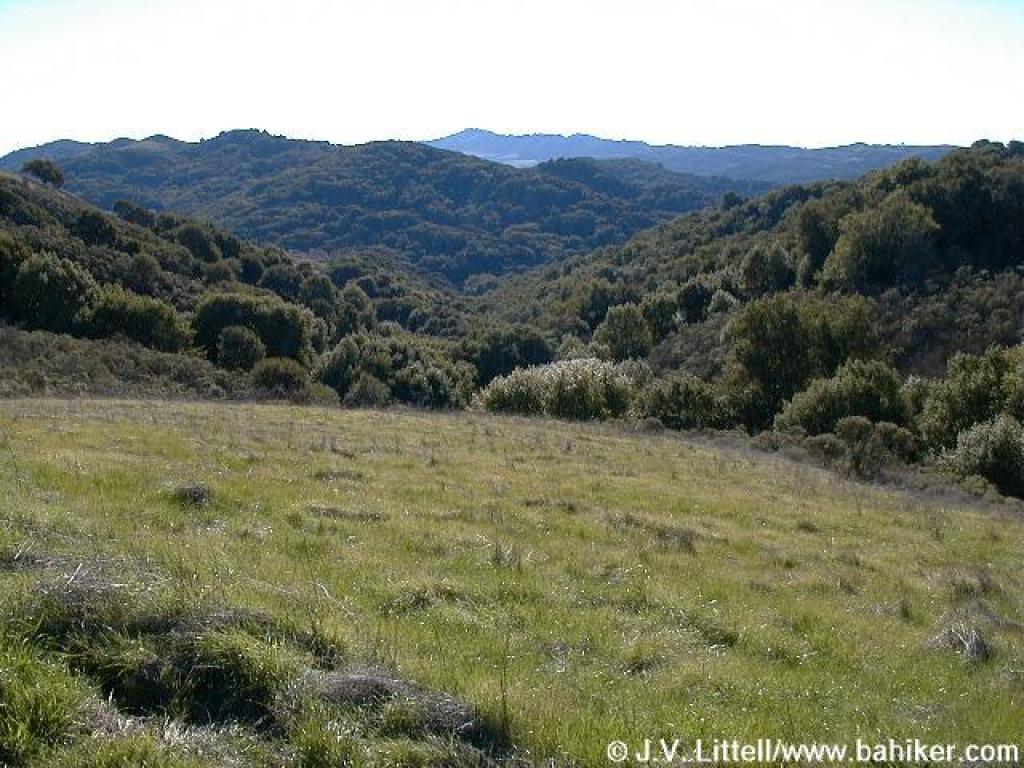 View south into the wooded canyon |
 Junction with Morningside Trail |
||||
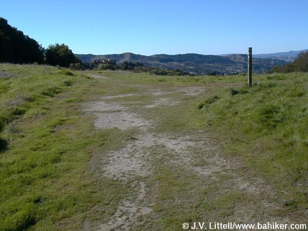
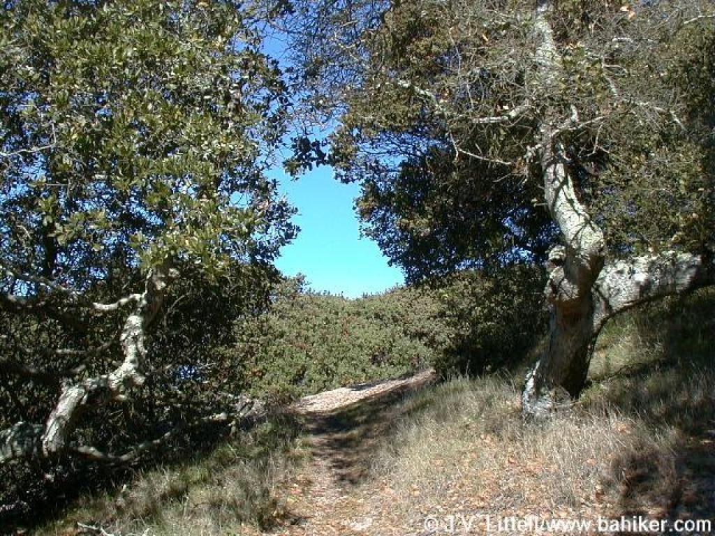
 Sobrante Trail turns south |
 View east |
 Junction with Broken Oak Trail |
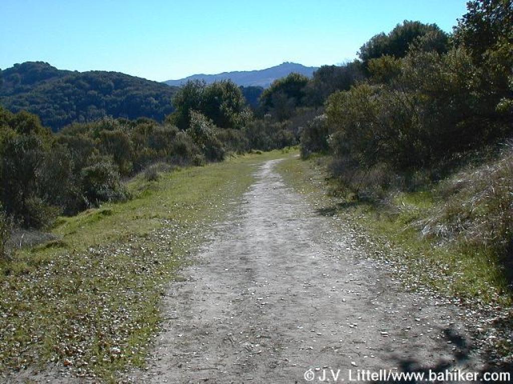
 Trail takes a quick descent, followed by a short ascent |
||||
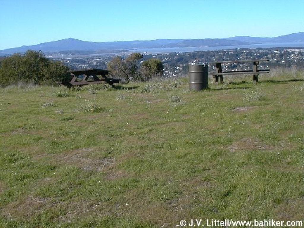 Picnic tables and view west |
 Hummingbird perched on poison oak, with Mount Diablo in the background |
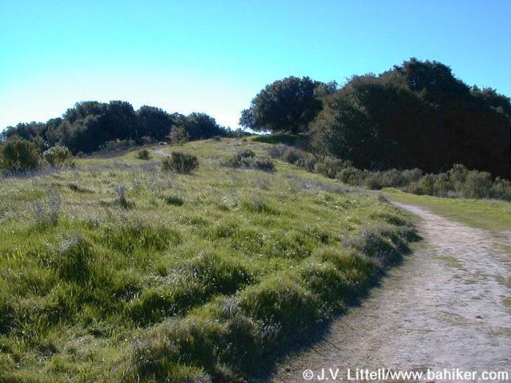
 Sobrante Ridge Trail |
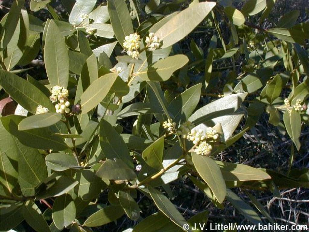 California bay |
||||
 Junction with Manzanita Trail |
 Manzanita Trail drops steeply west |
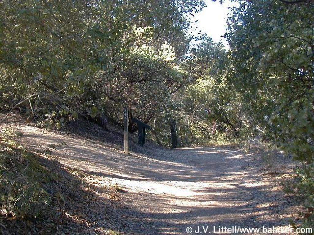
 Unsigned junction with Heavenly Ridge Trail |
 Oak blossoms |
||||
 Junction |
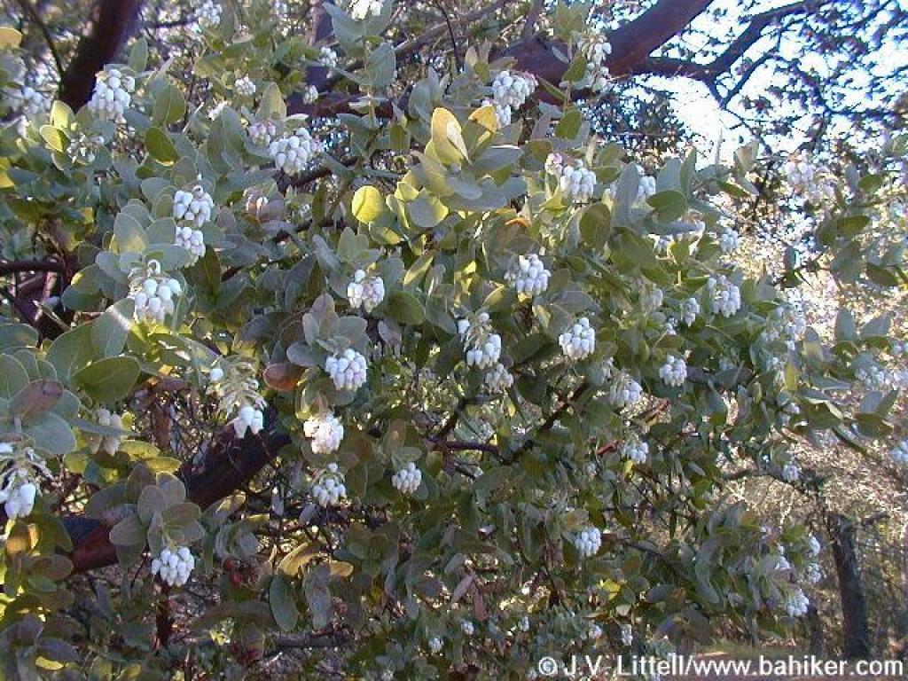 Manzanita in bloom |
 Near preserve border |
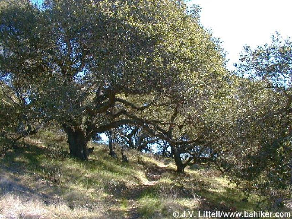 Oaks |
||||
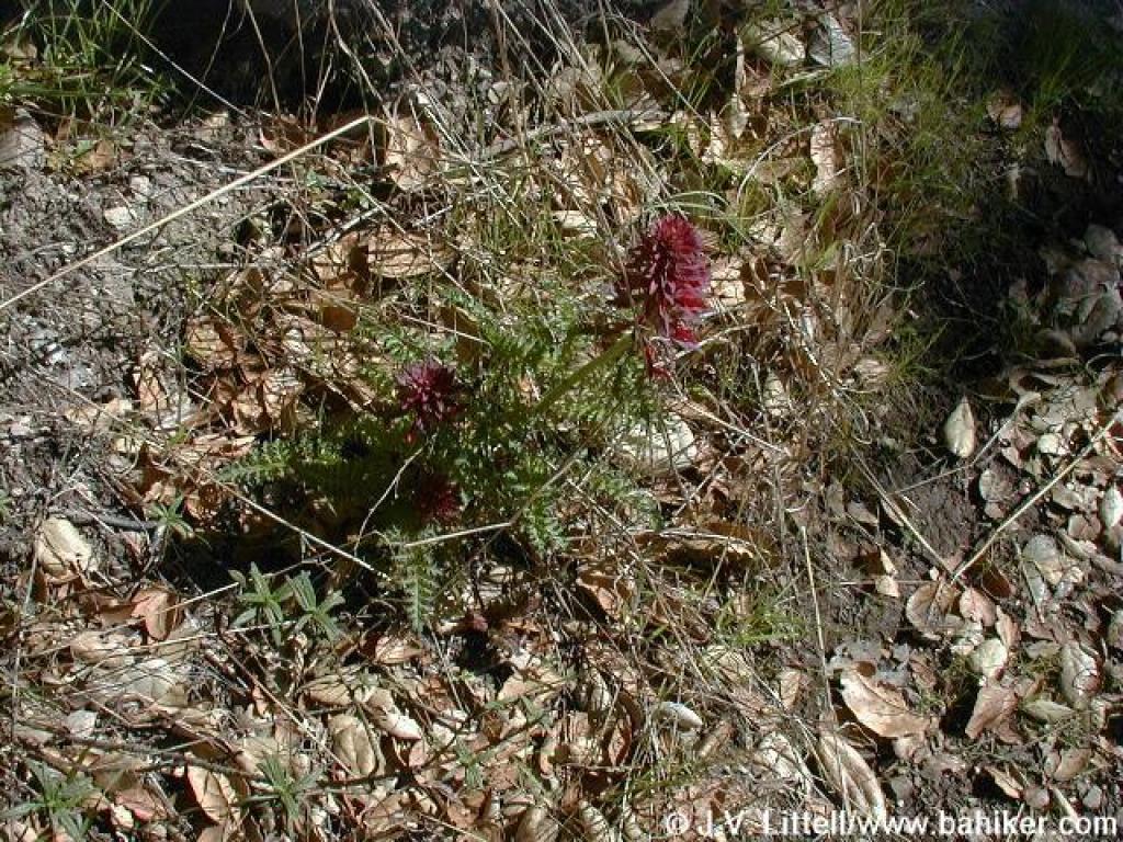 Indian warrior |
 Manzanita Loop reaches a crest |
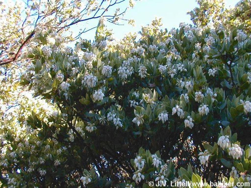 Blossoms just past their peak |
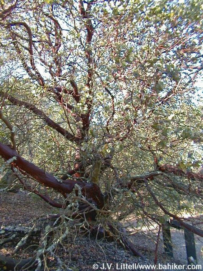
 Madrone |
||||
 Manzanita |
Go to Bay Area Hiker Sobrante Ridge page Go to Bay Area Hiker Home page |
||||||