| Photos
from a June 2002 hike at Sunol Regional Wilderness (click on any image for a larger view) |
|||||||
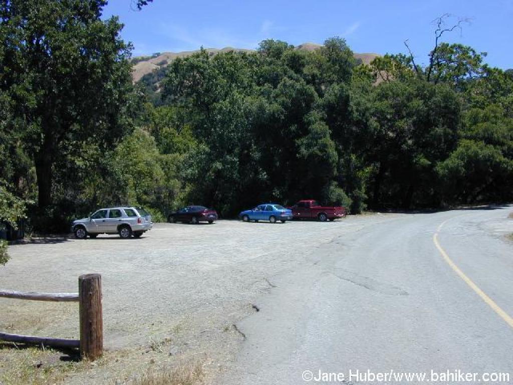 Trailhead |
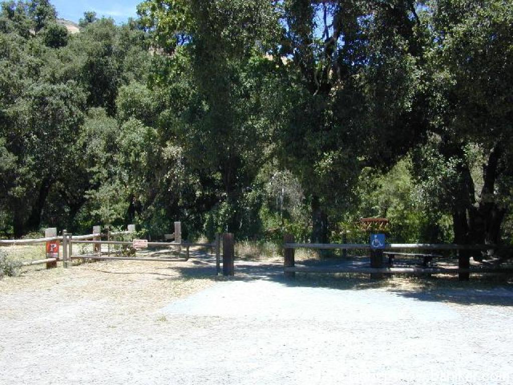 Start |
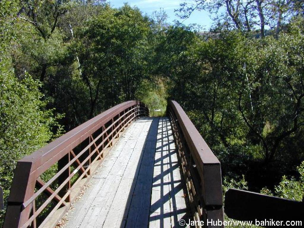 Footbridge |
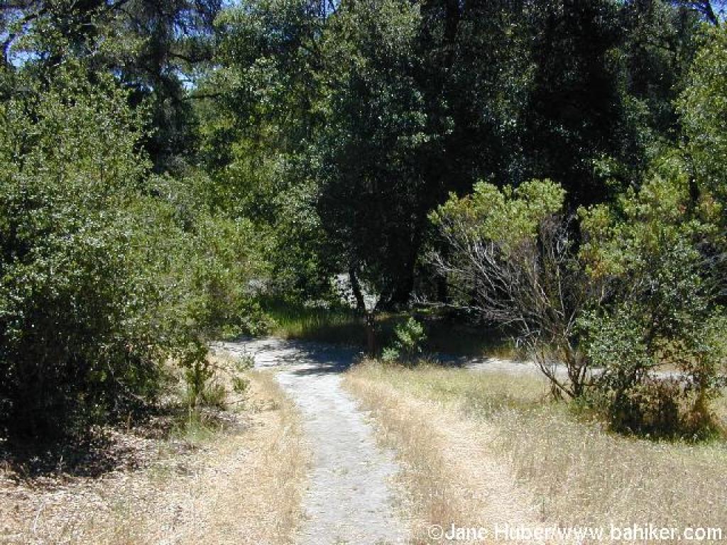
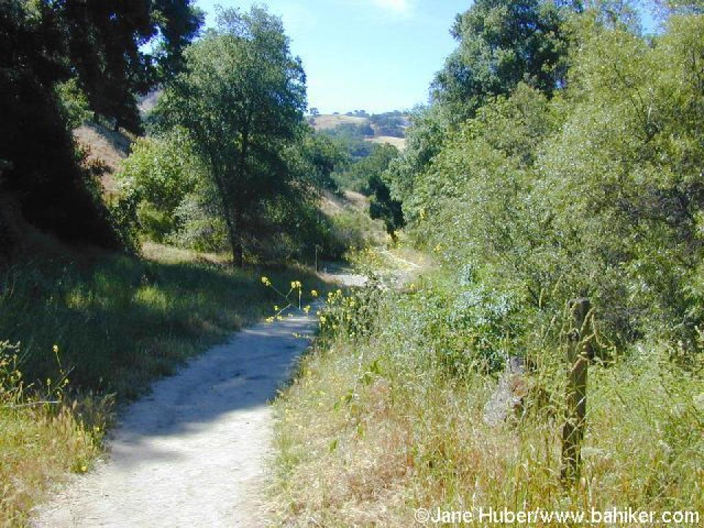 Path along Alameda Creek |
||||
 Canyon View Trail veers left |
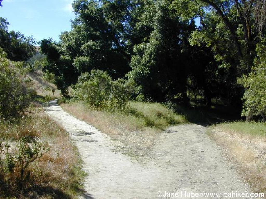
 Junction: continue straight |
 Elegant clarkia |
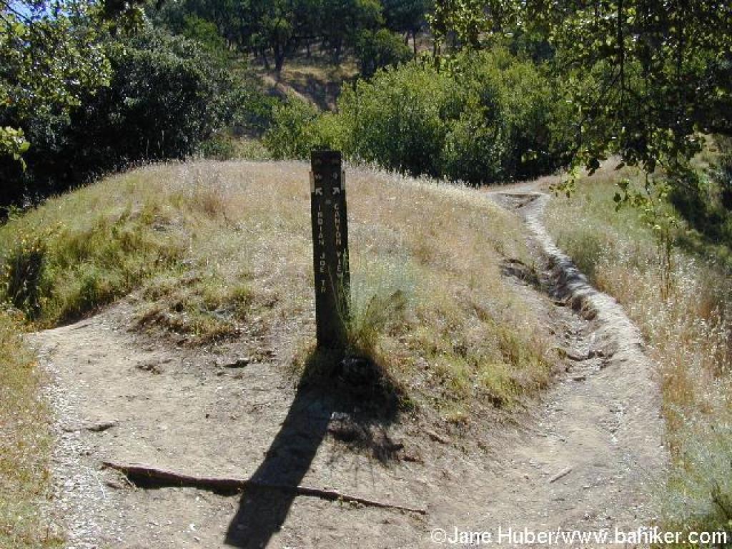
 Junction with Indian Joe Nature Trail |
||||
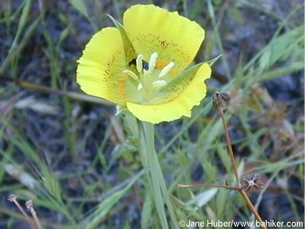 Yellow mariposa lily |
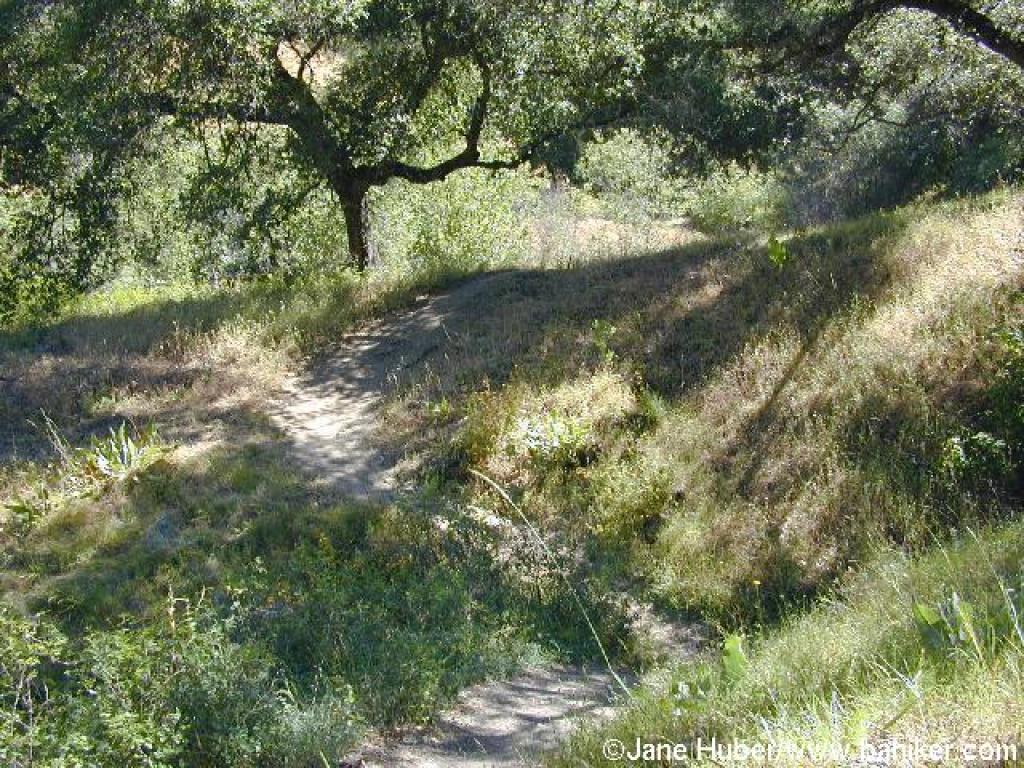
 Indian Joe Nature Trail |
 Junction with Canyon View Trail |
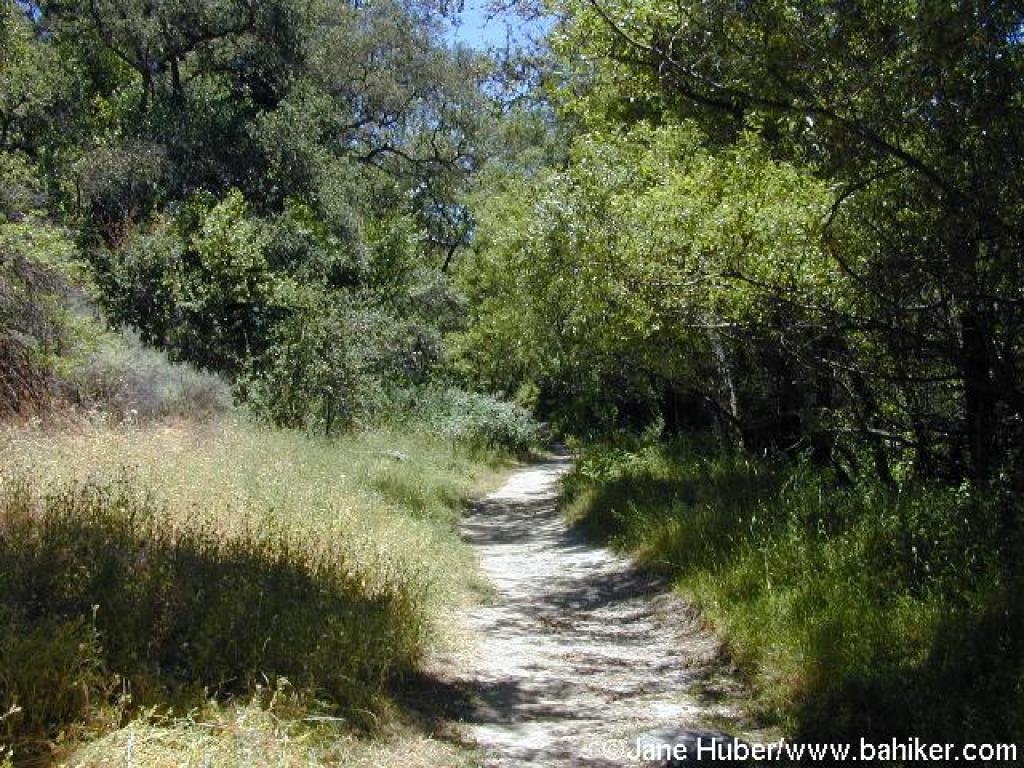
 Indian Joe Creek Trail |
||||
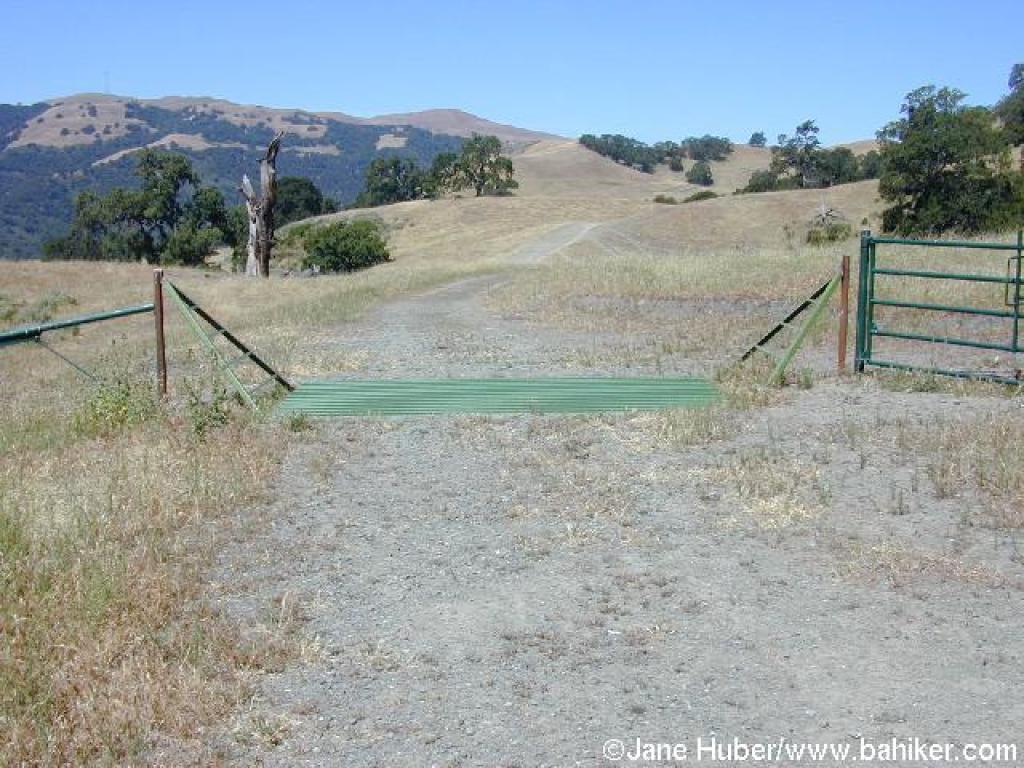
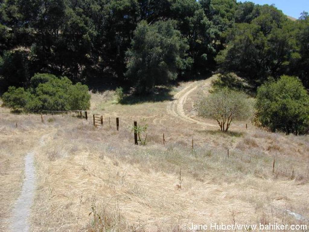
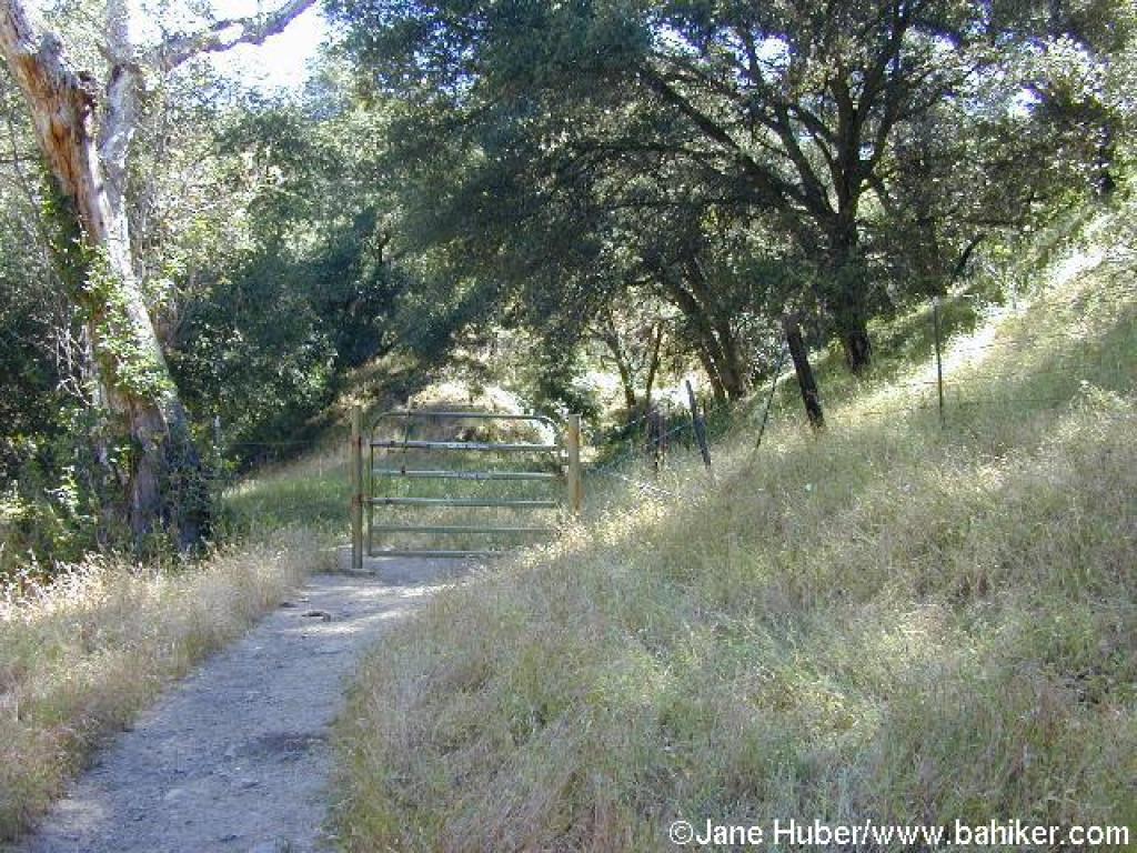 Cattle gate |
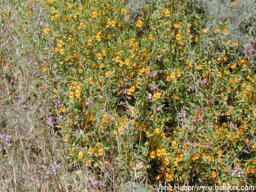 Monkeyflower |
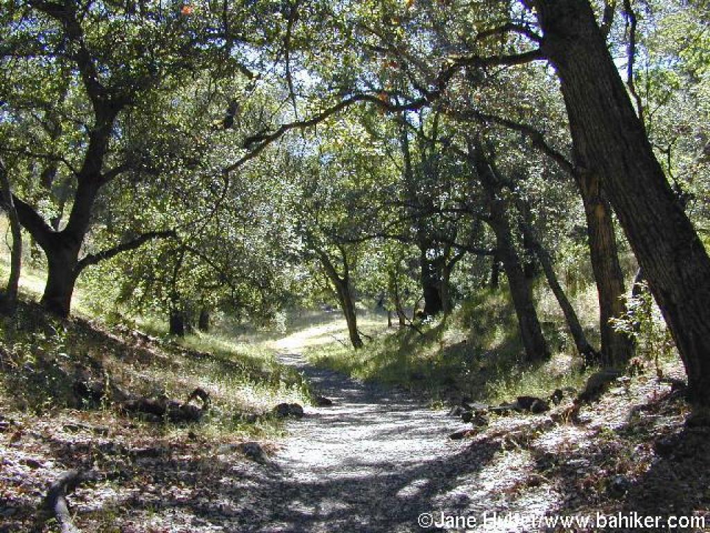
 Ascending through the canyon |
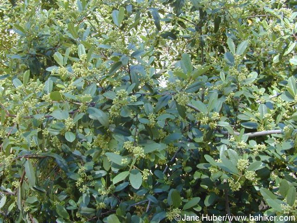 California coffeeberry |
||||
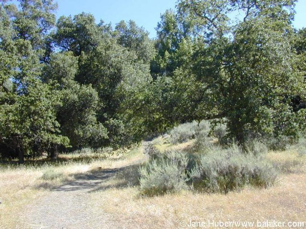
 Climbing under the shade of coast live oaks |
 Steep stretch |
 Sagebrush along the trail |
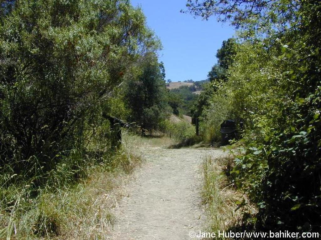
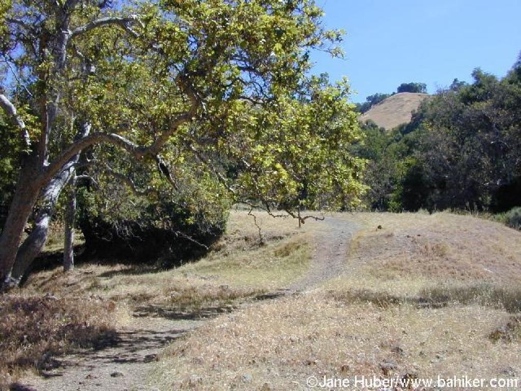 Approaching junction with path to Hayfield Road |
||||
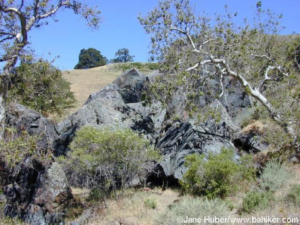 Indian Joe Cave Rocks |
 Approaching junction with Cave Rocks Road |
 Cave Rocks Road |
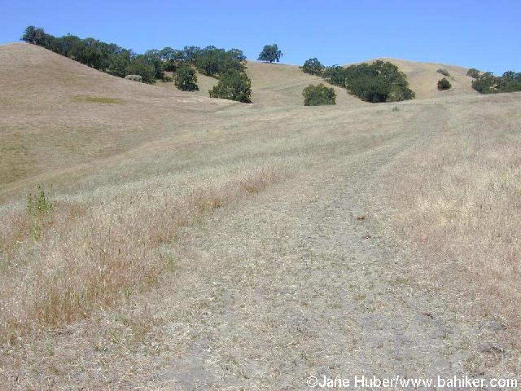
 Sweeping downhill through grassland |
||||
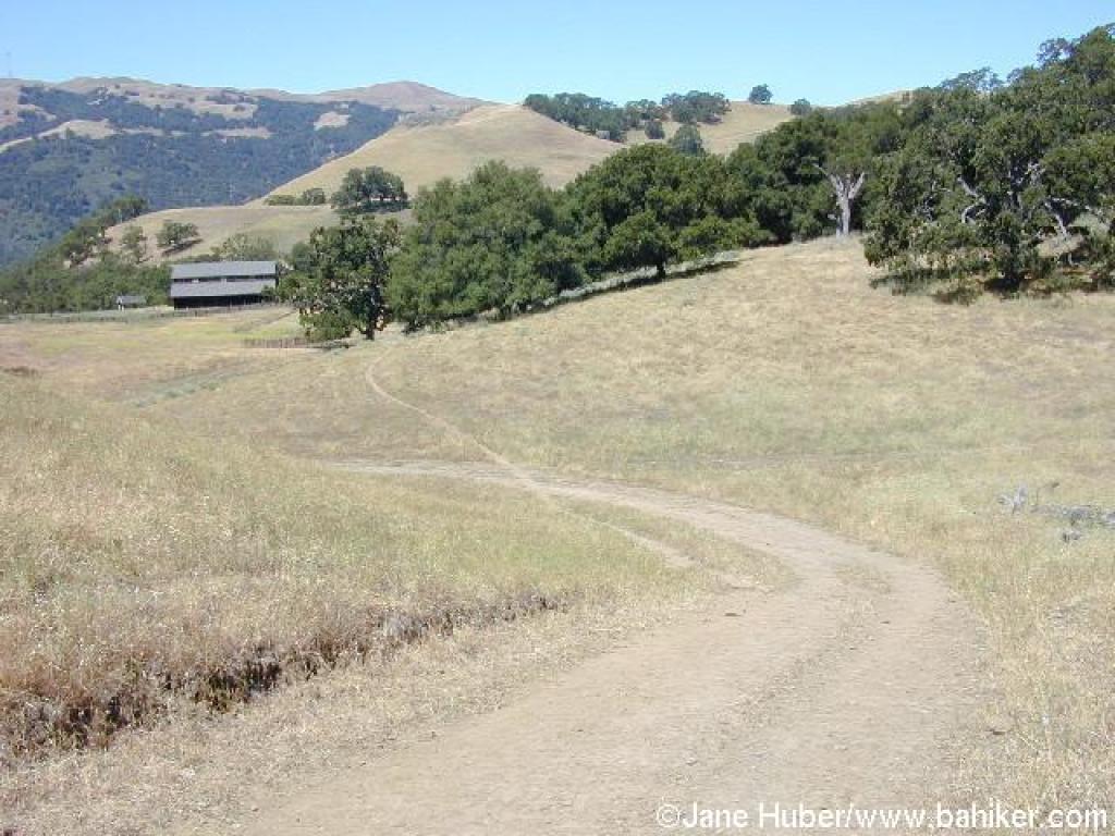
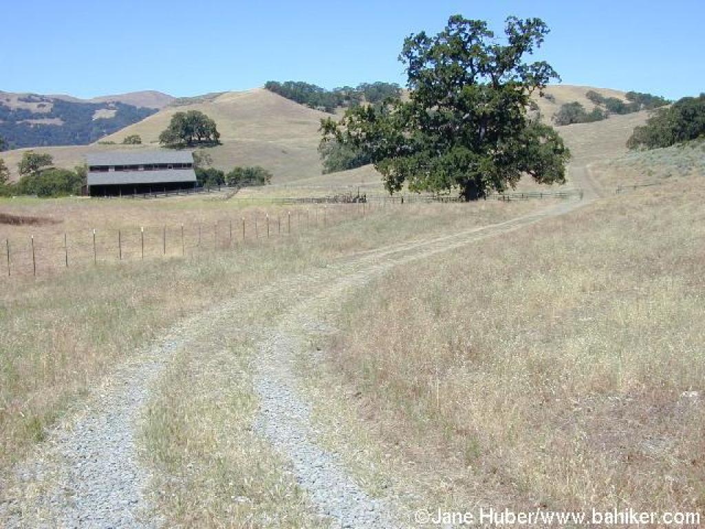 The building at High Valley Group Camp, on the left |
 Junction: continue straight |
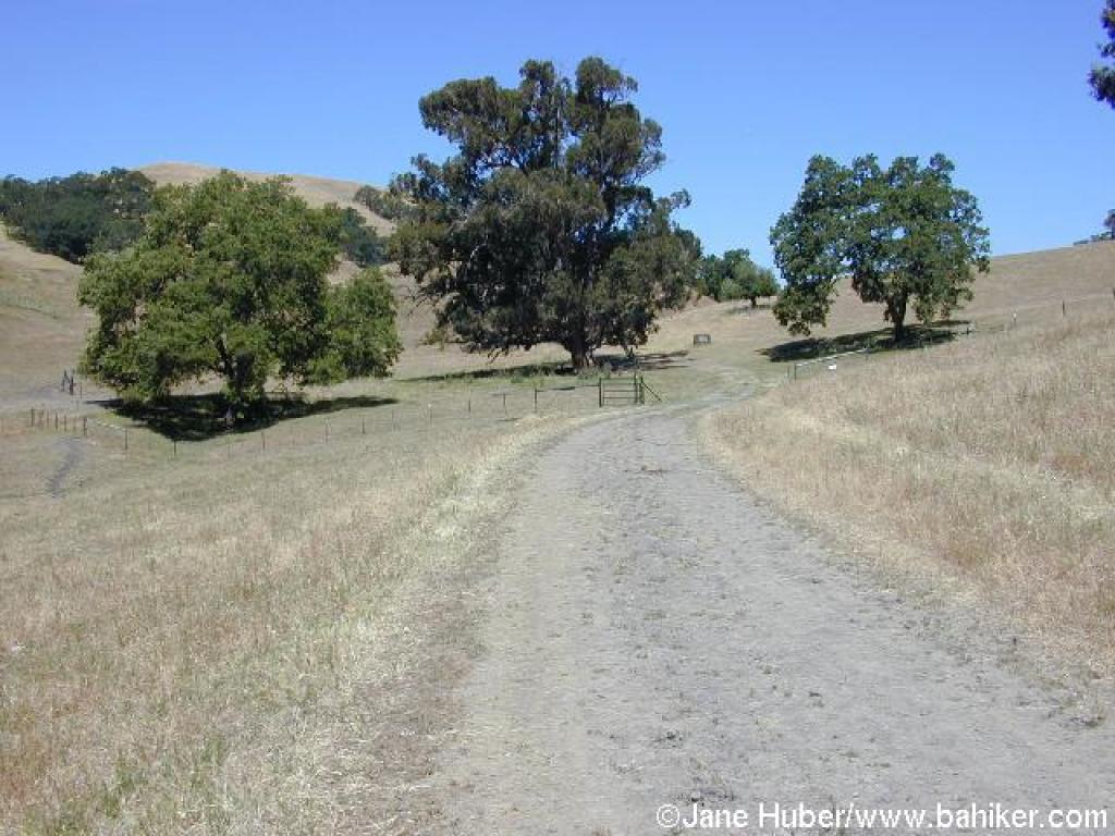 A giant eucalyptus tree, flanked by two oaks at the junction with Flag Hill Trail |
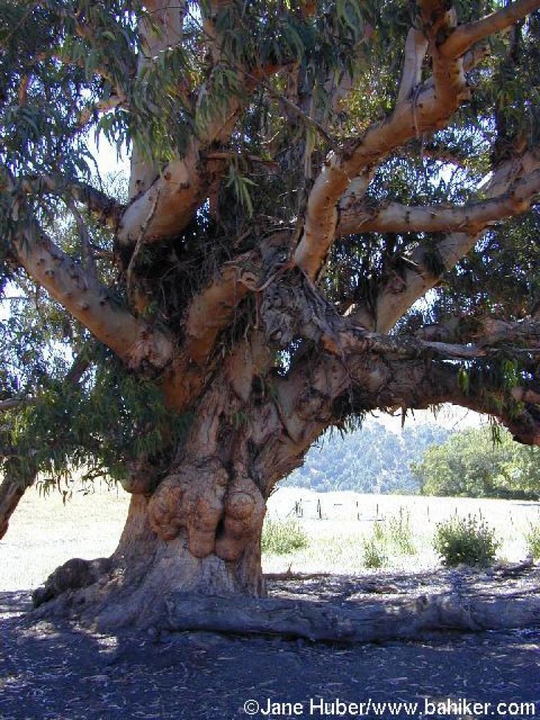 The huge eucalyptus |
||||
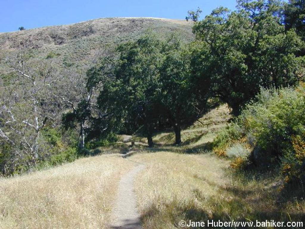
 Flag Hill Trail |
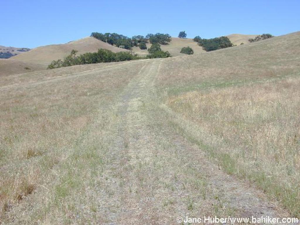
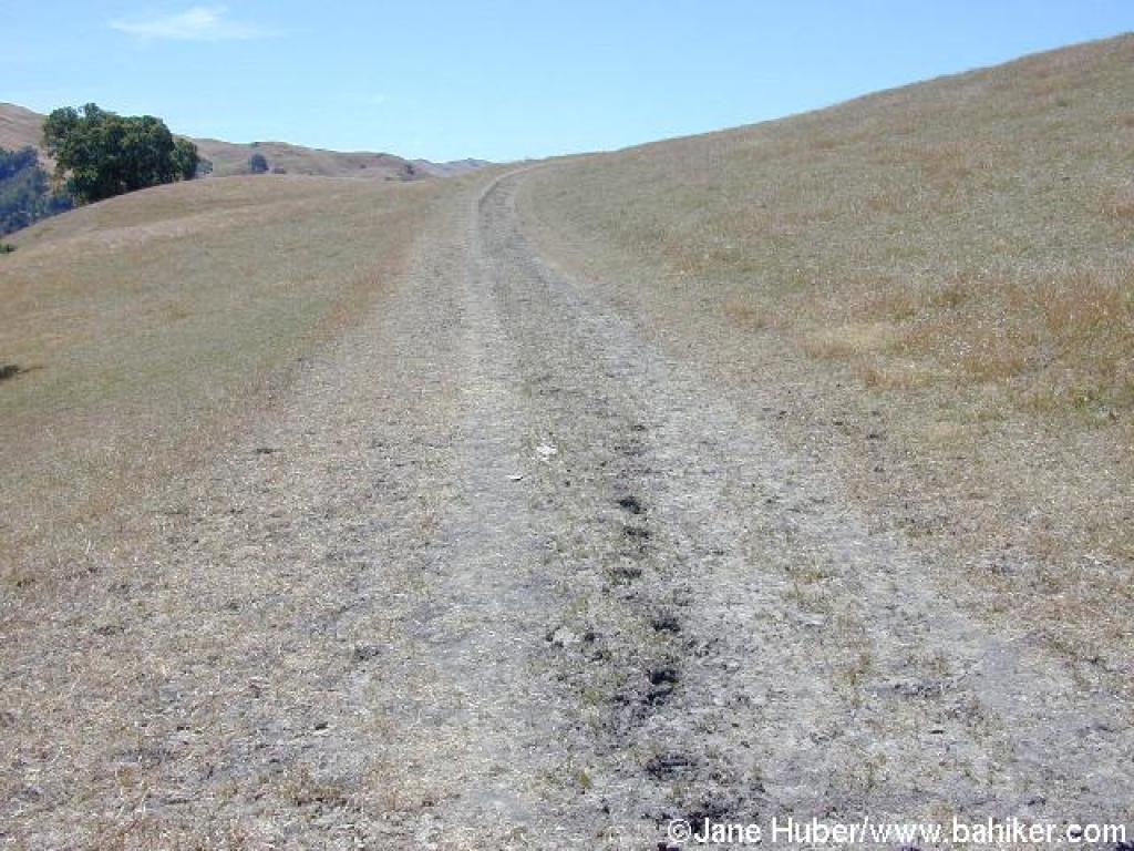
 Ascending through grassland |
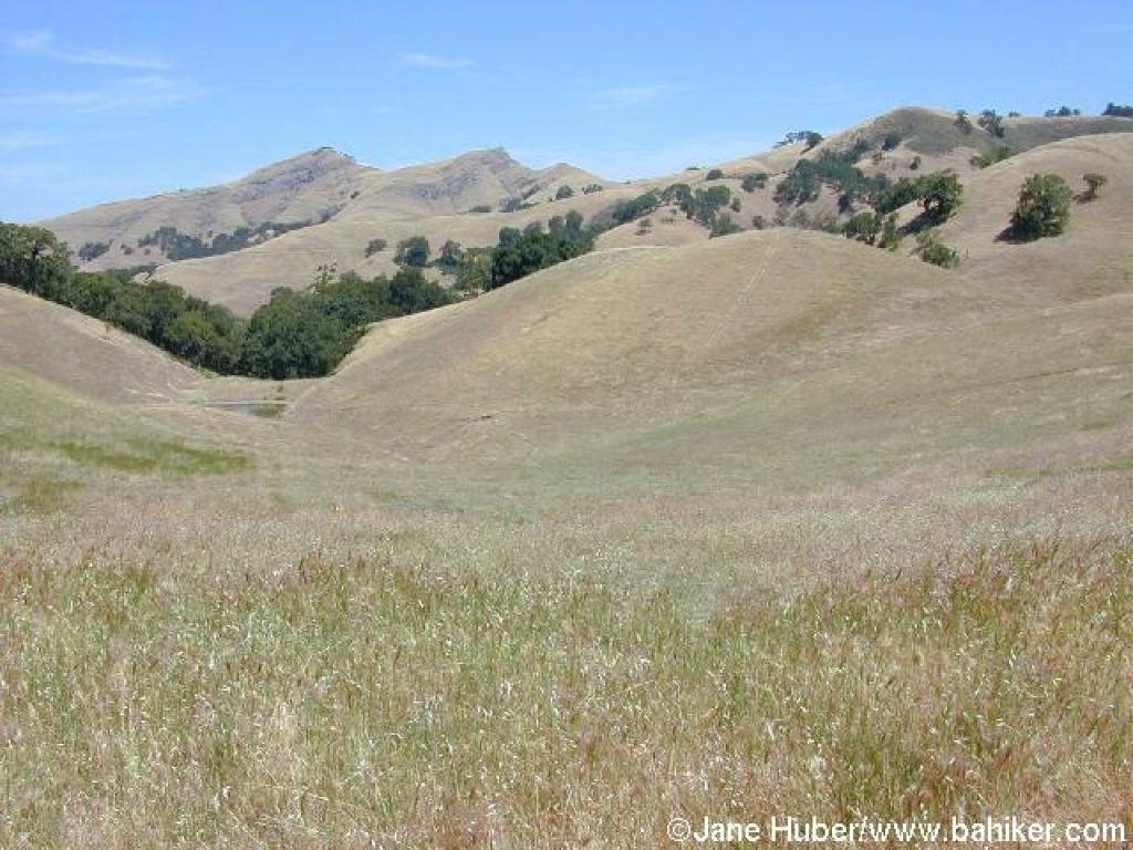 View to Maguire Peaks |
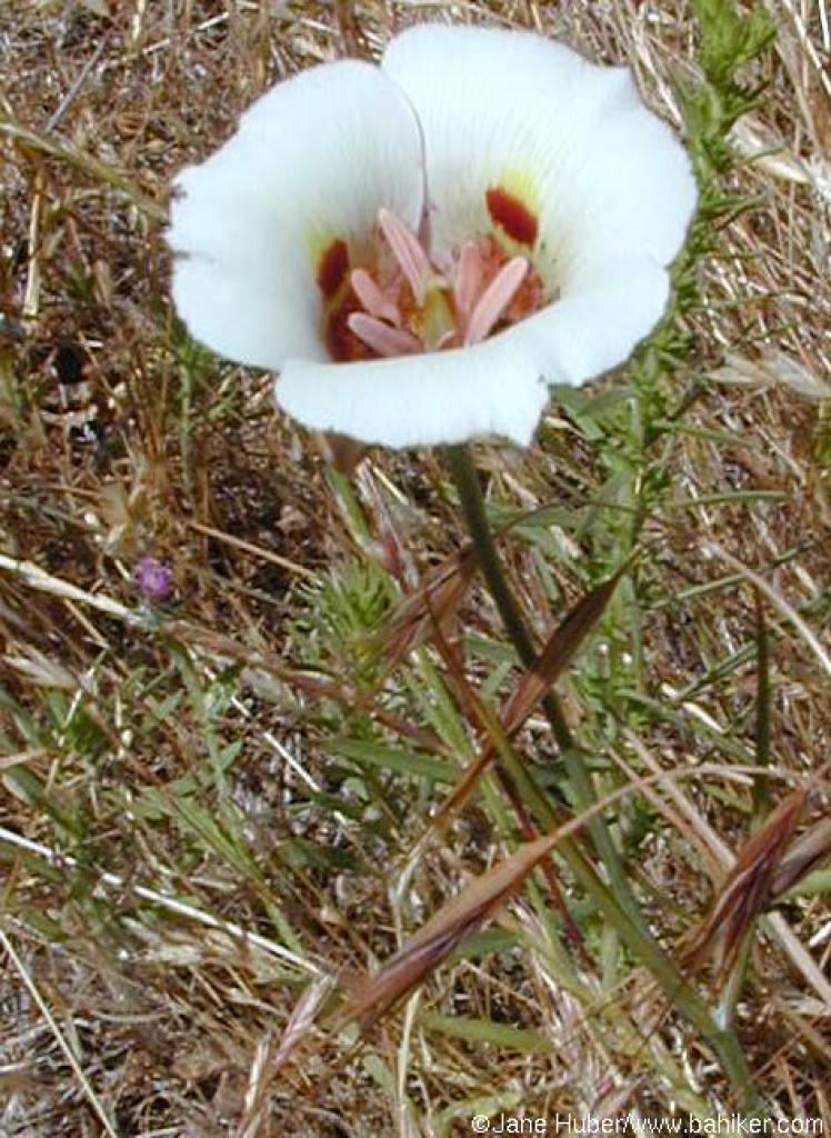 White mariposa lily |
||||
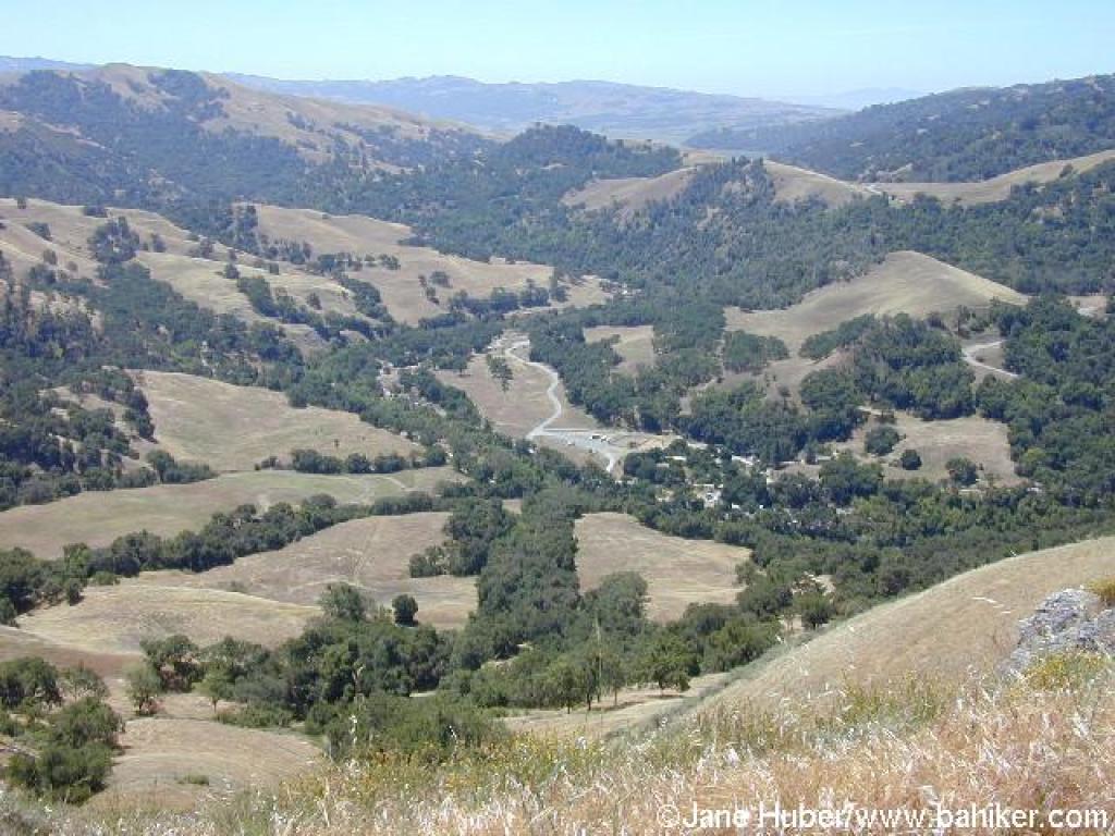
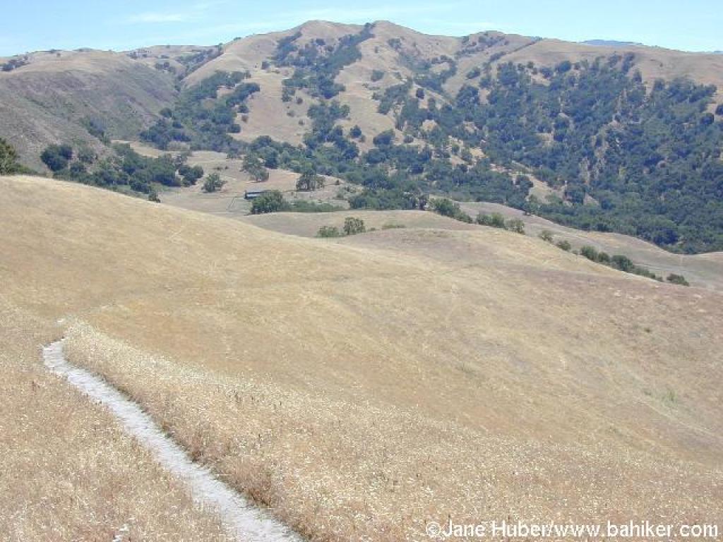
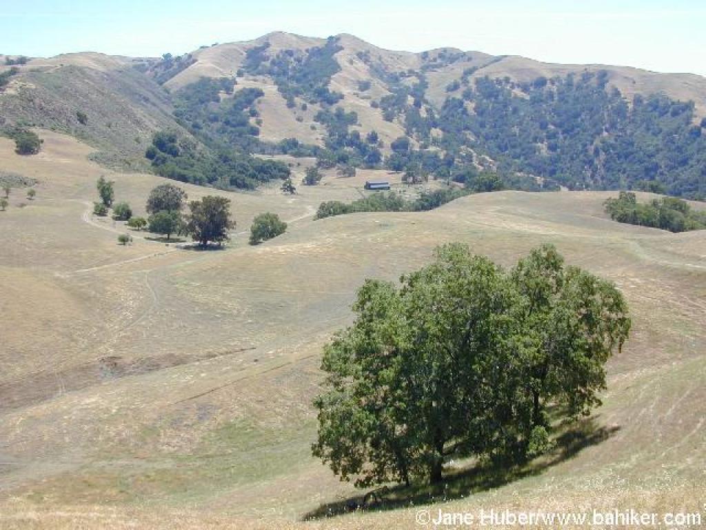 View back to the valley |
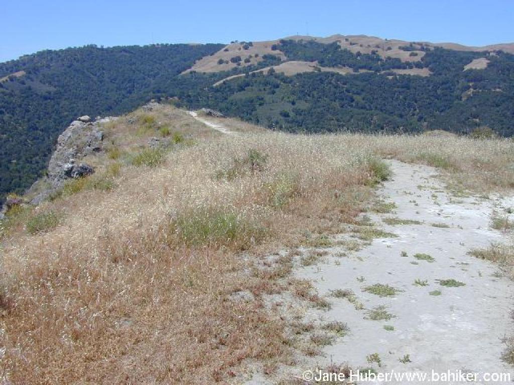
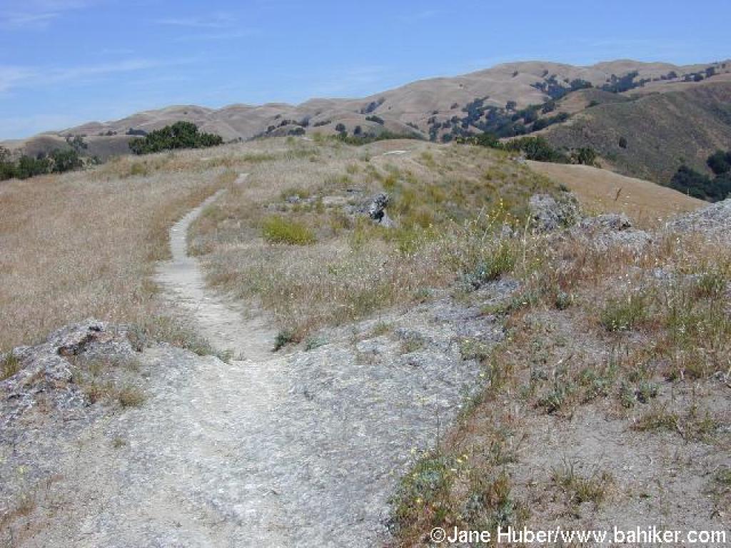
 At the crest of the ridge |
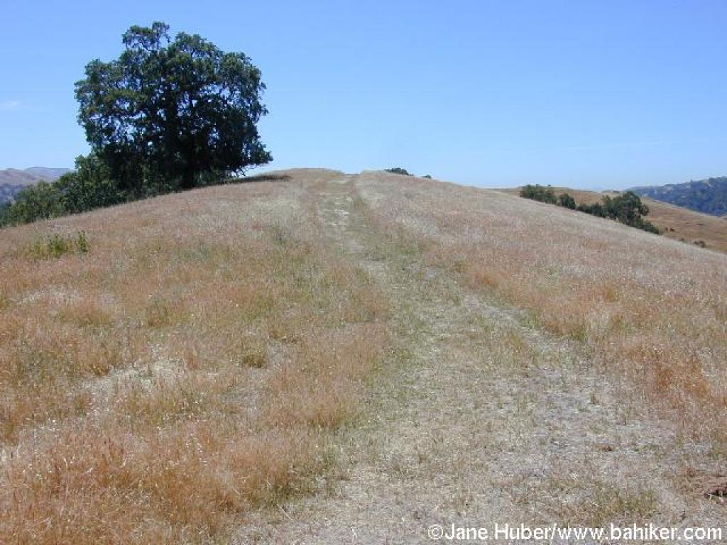
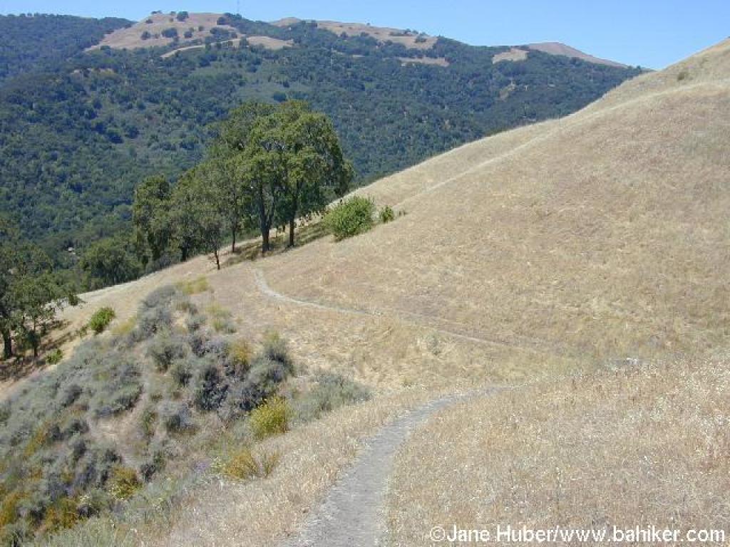
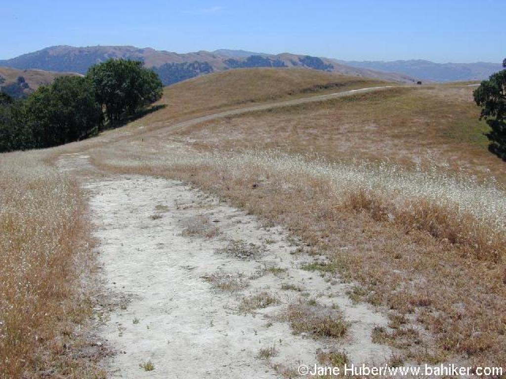 Flag Hill Trail |
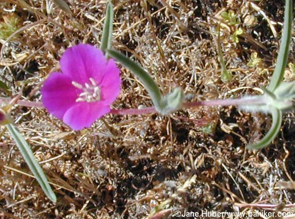 Clarkia |
||||
 Junction: continue straight |
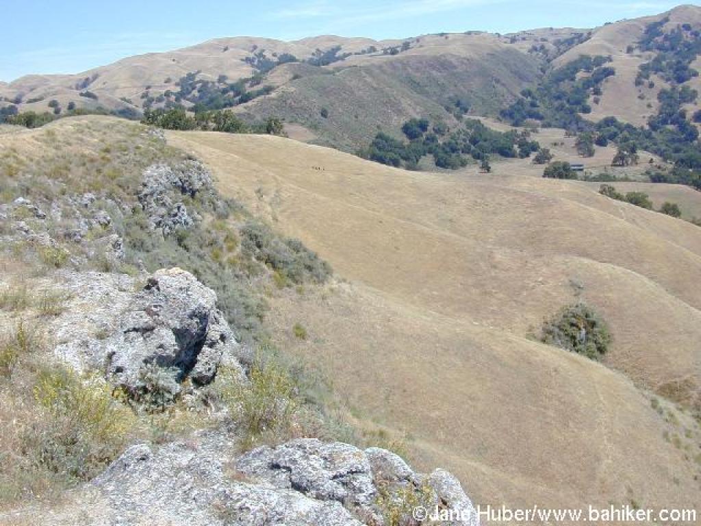
 View south |
 Path to rock outcrop |
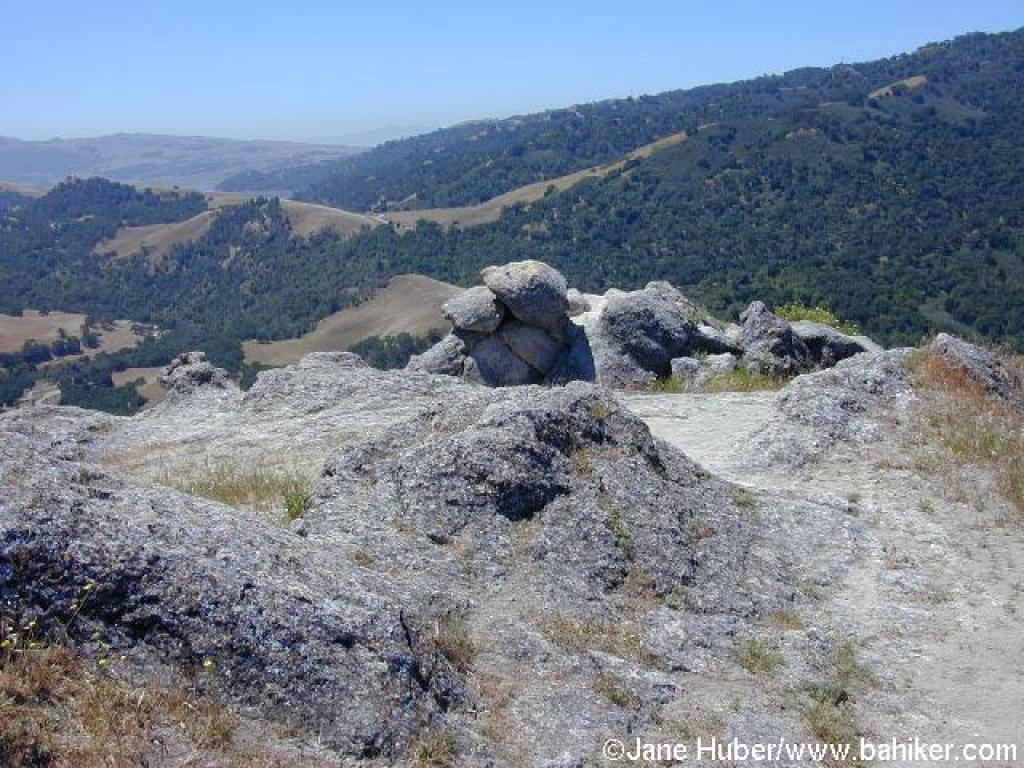 Rocks |
||||
 View east, with hikers on Flag Hill Trail barely visible |
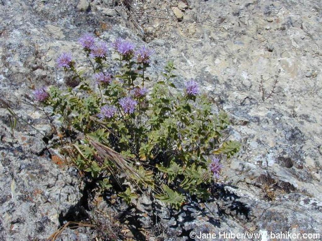 Coyote mint |
 Returning back to junction |
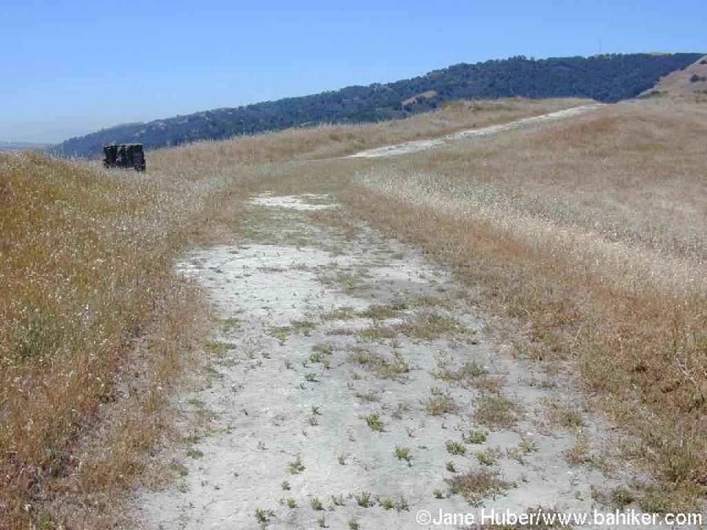
 Flag Hill Trail |
||||
 A steep and rocky stretch |
 Descending |
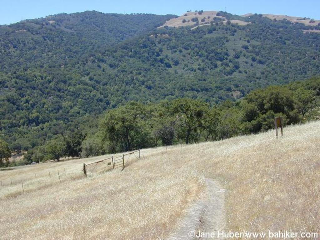 Cattle gate |
 Trail choked with grass and thistles |
||||
 Approaching junction |
 Approaching junction |
 Path along the creek |
 Junction before footbridge back to trailhead |
||||
Go to Bay Area Hiker Sunol page Go to Bay Area Hiker Home page |
|||||||