| Photos
from an August 2000 hike at Tilden Regional Park (Click on an image for a larger view) |
||||||||
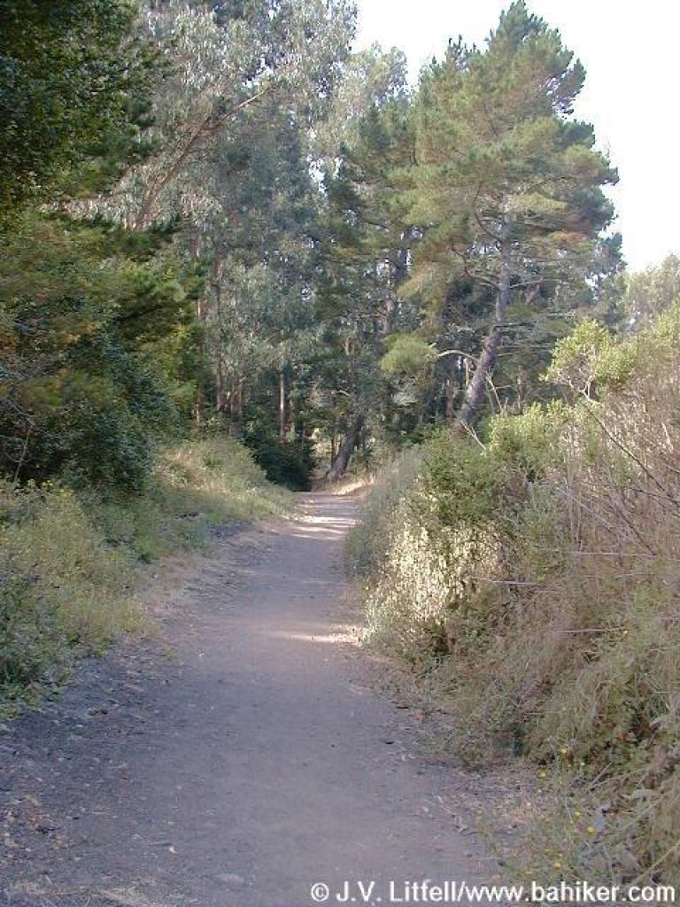
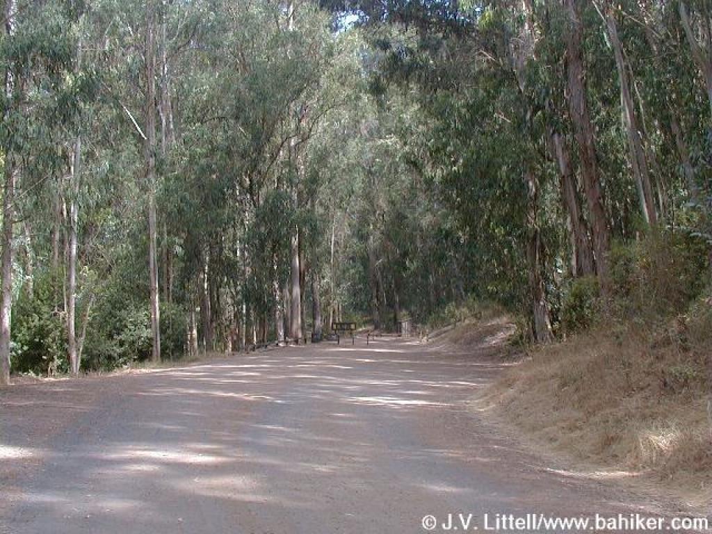
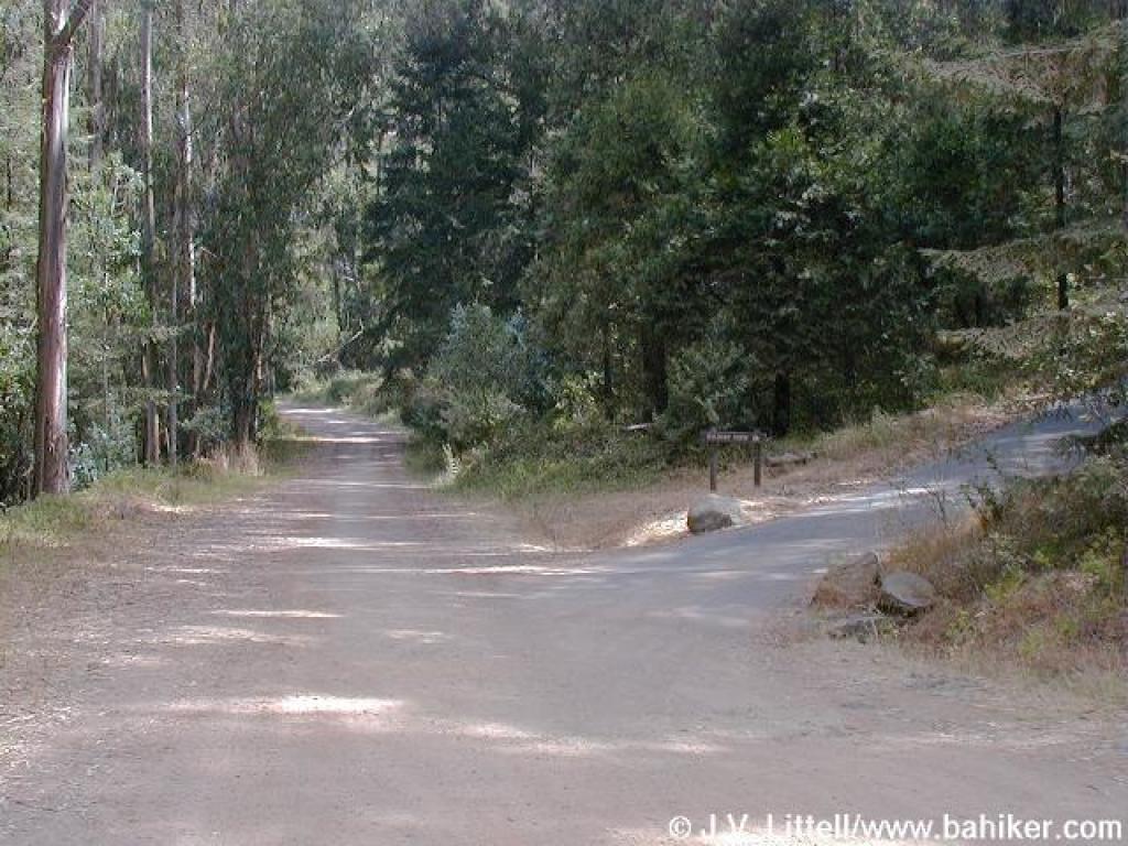
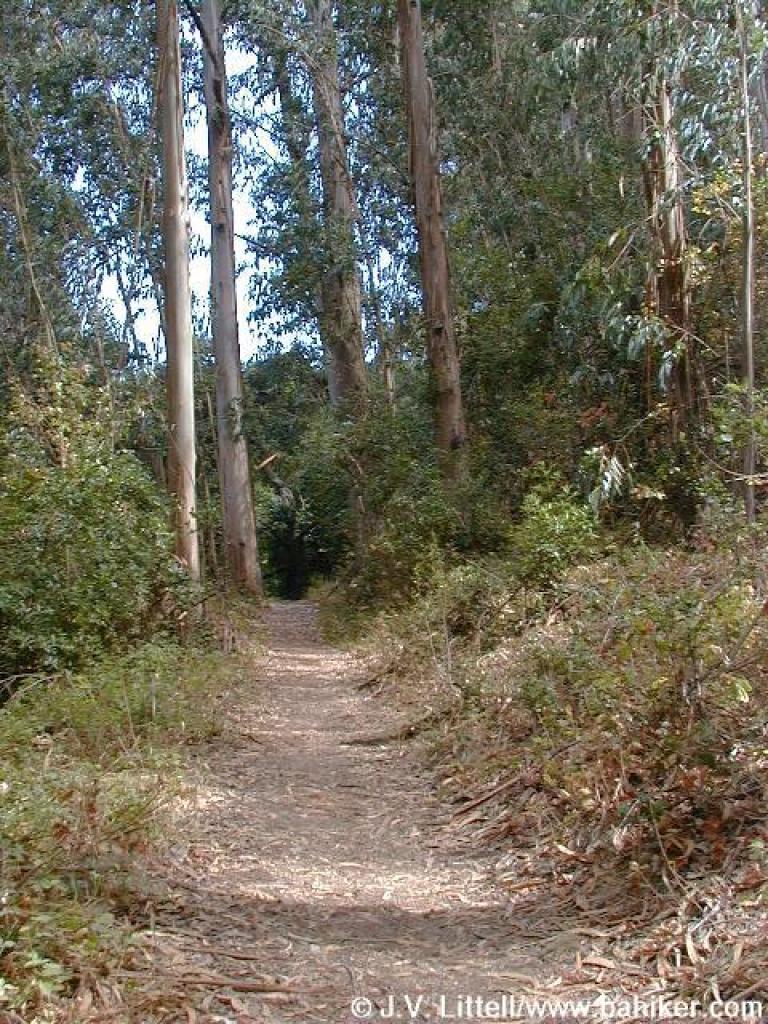
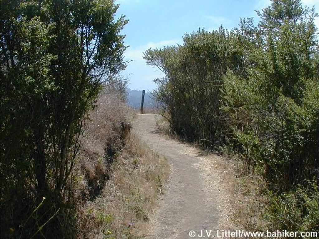
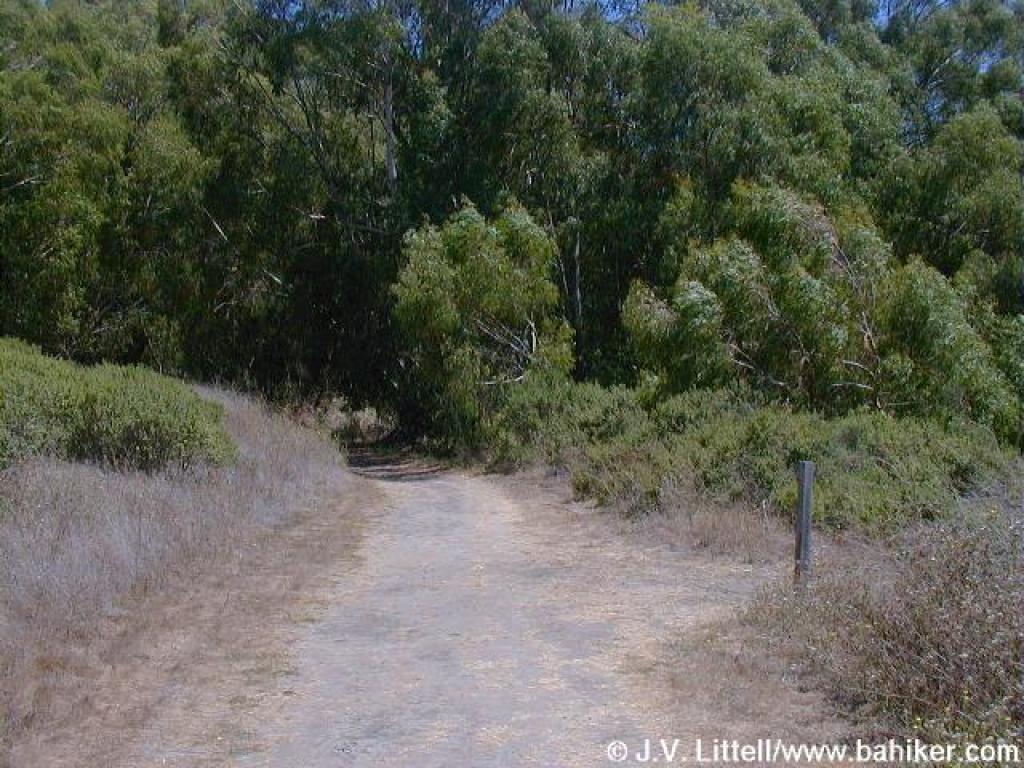
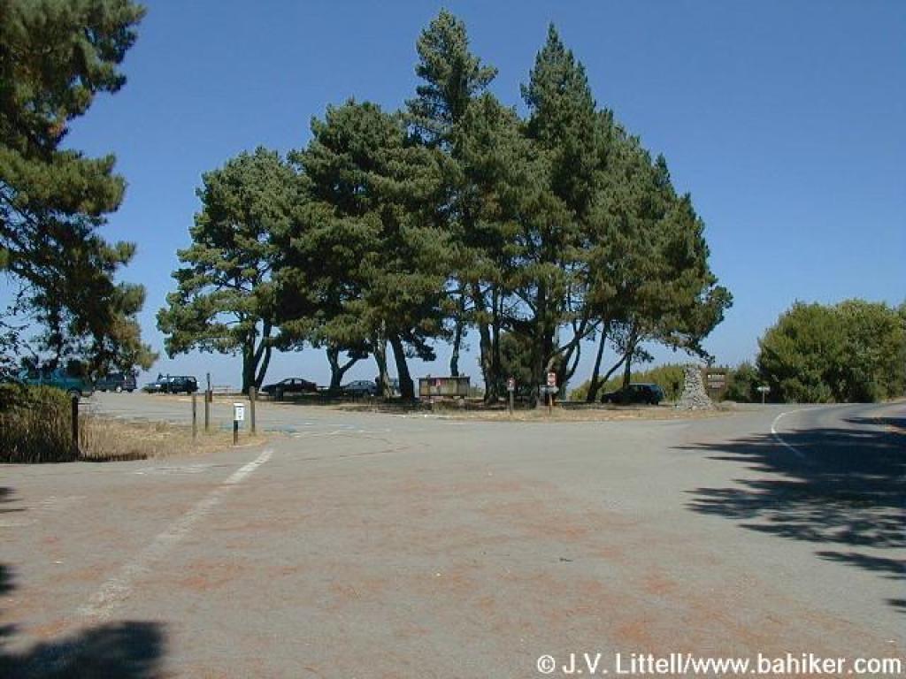 Trailhead |
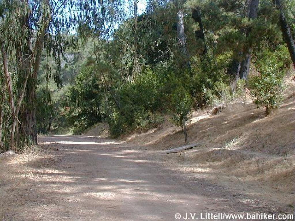
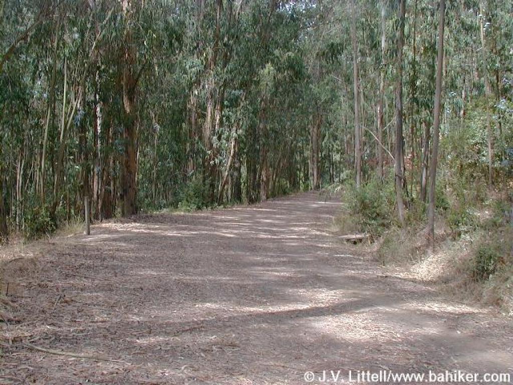
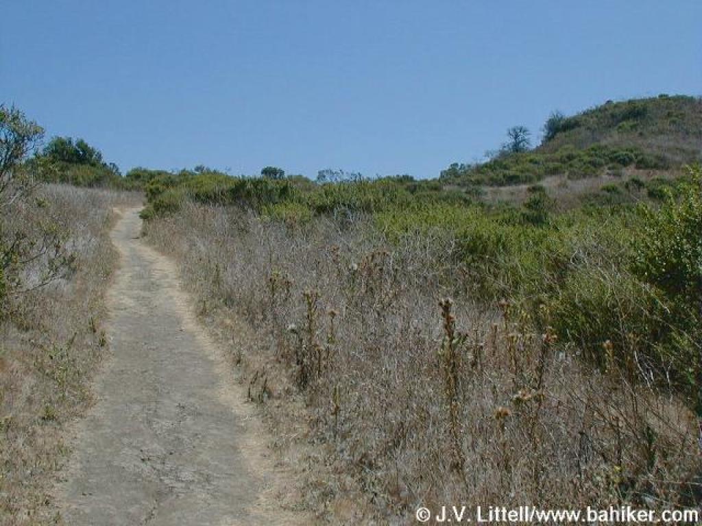
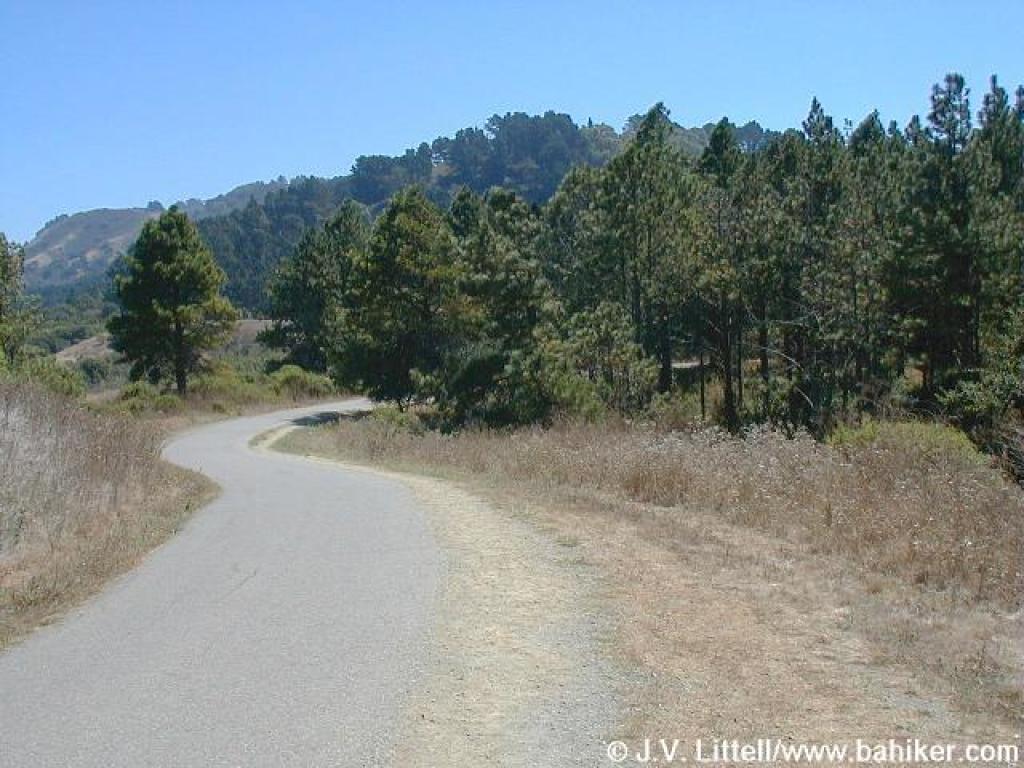
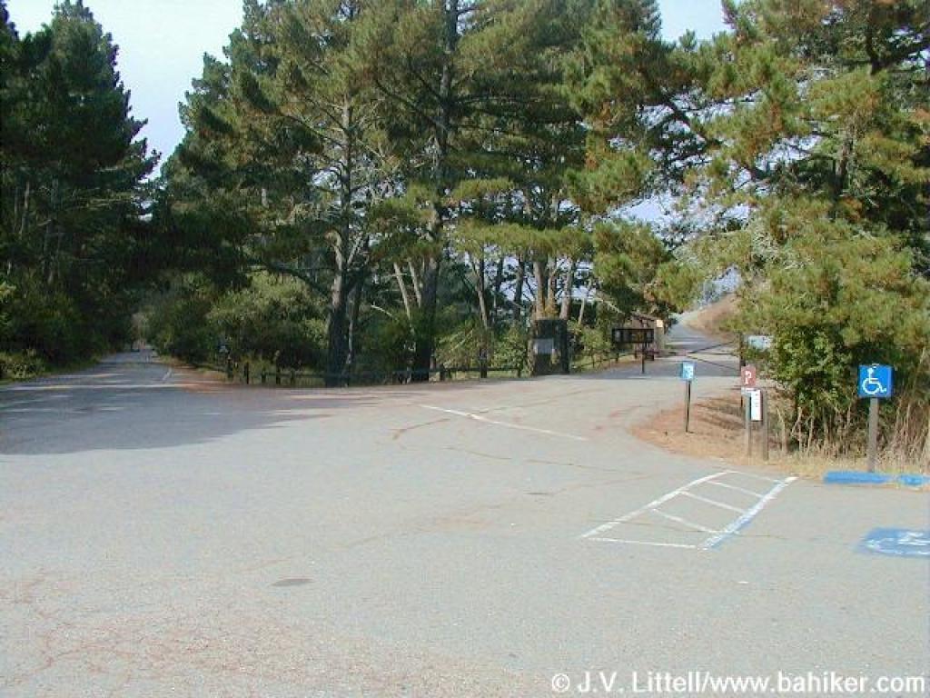 Heading toward the Nimitz Gate |
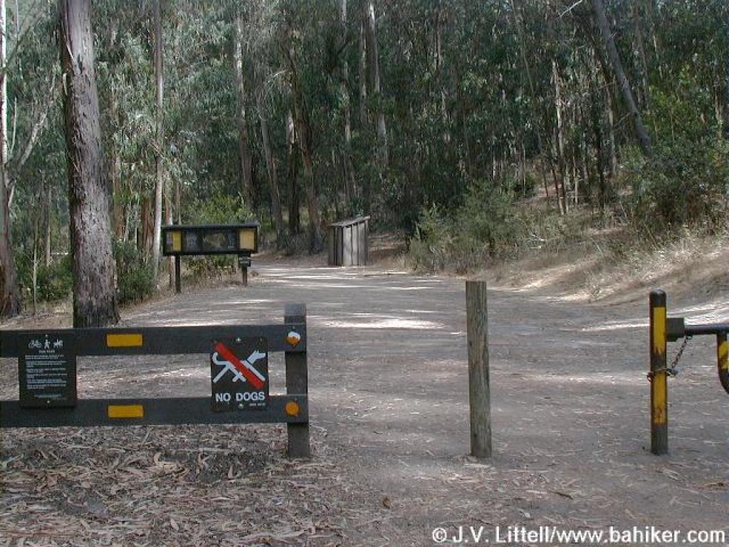
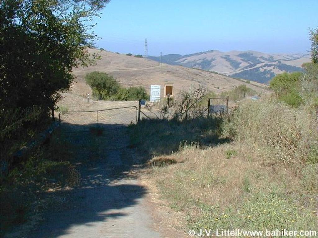 EBMUD trailhead |
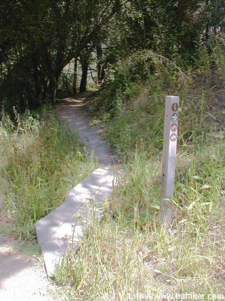
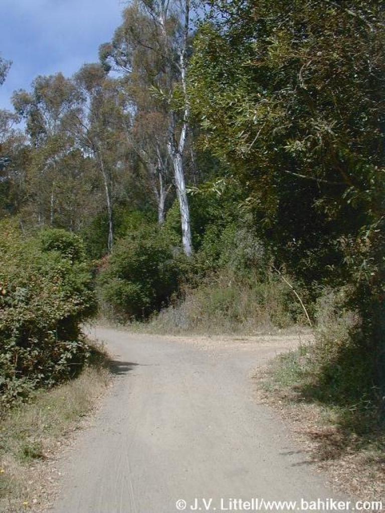
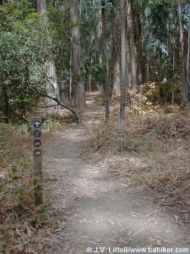
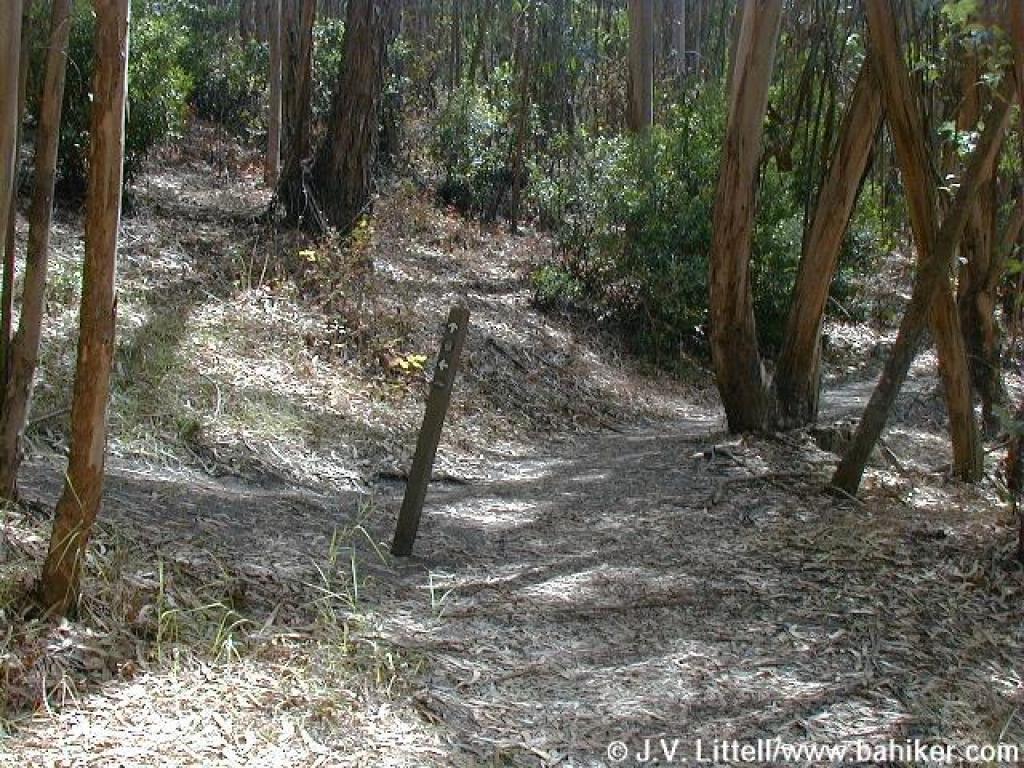
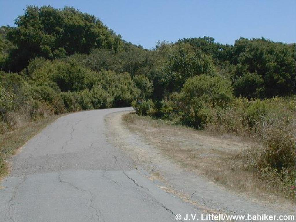
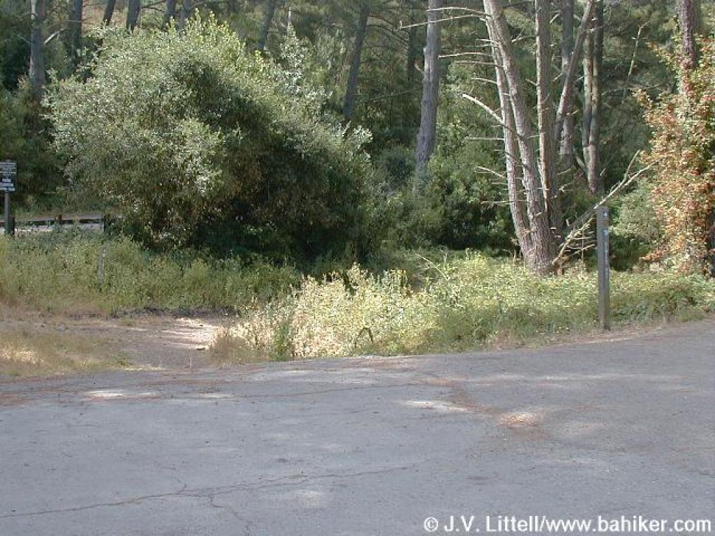 Junction with Curran Trail |
|||||
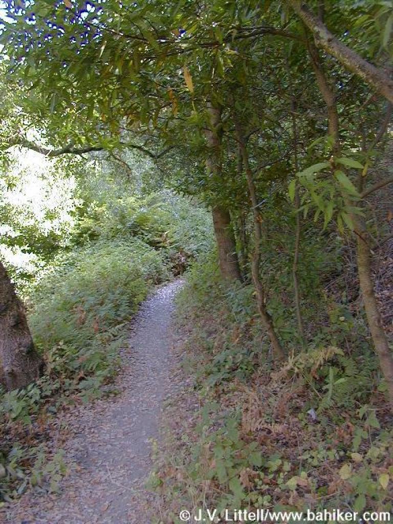
 Curran Trail |
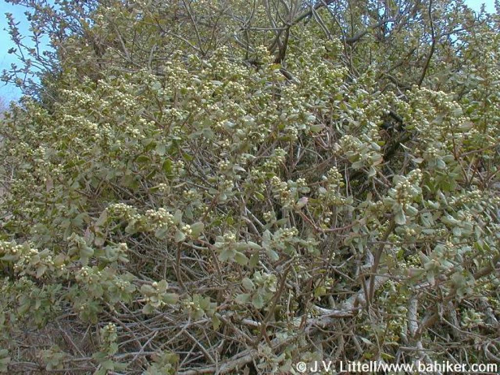
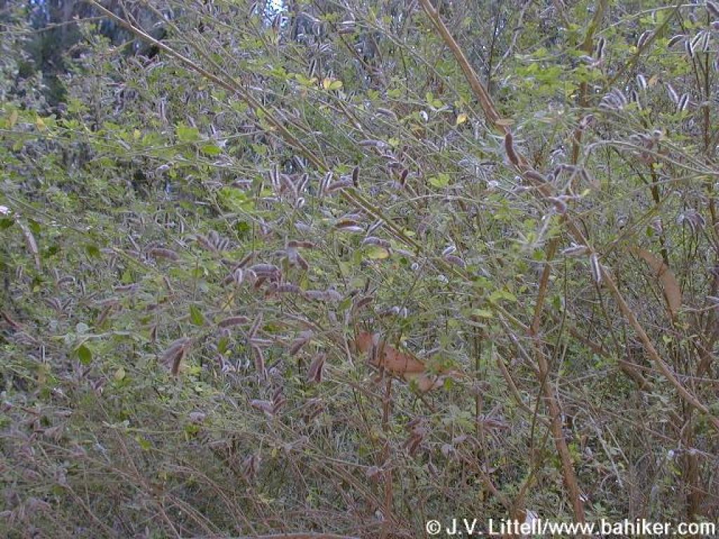
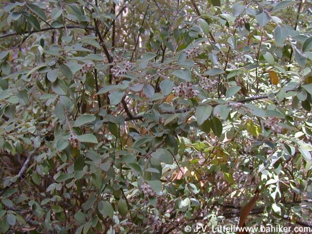
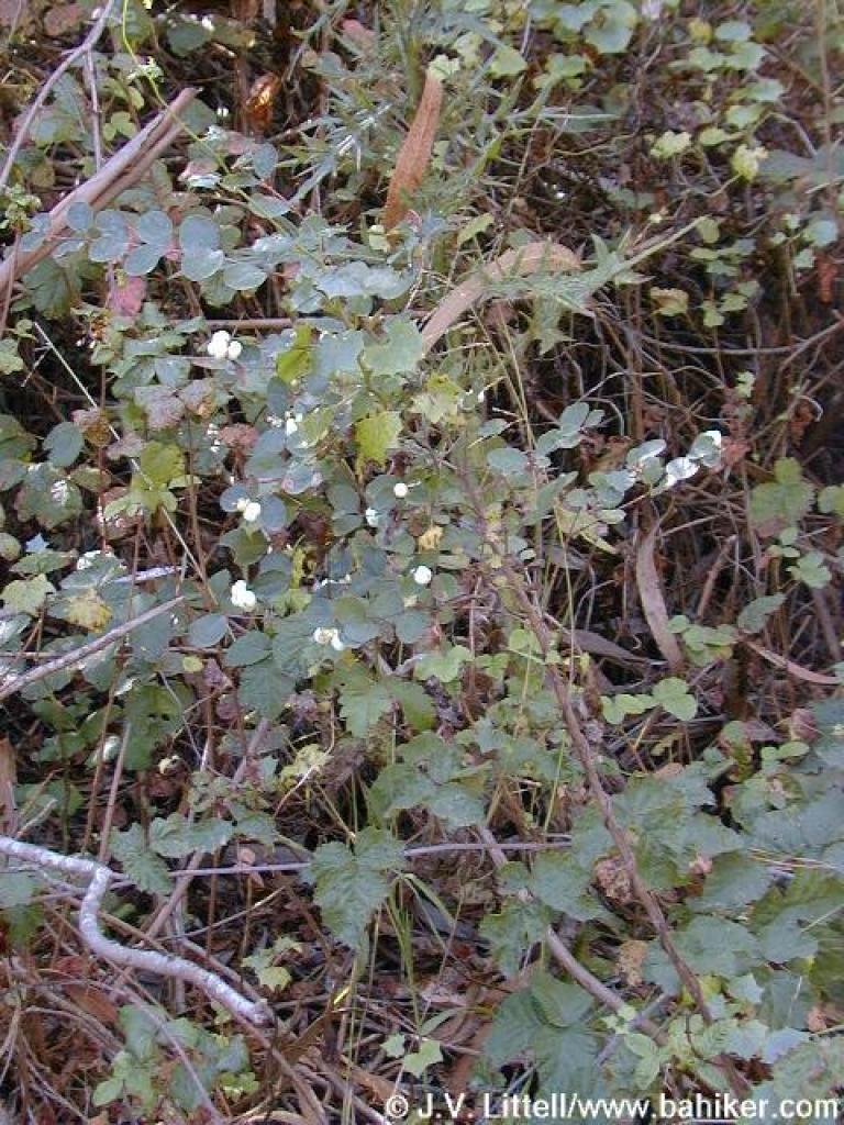 Common snowberry |
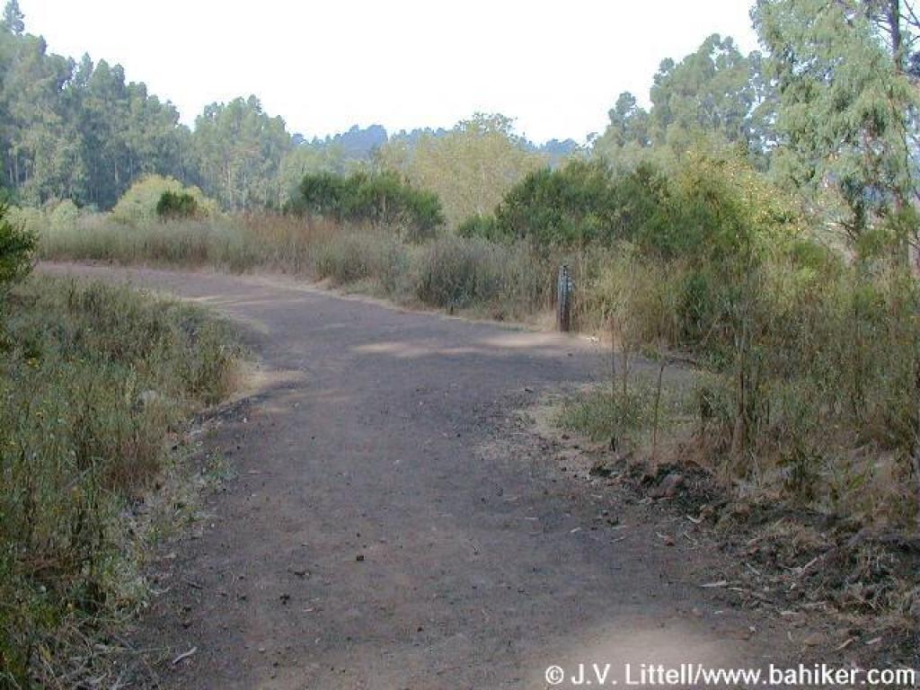 Junction with Meadows Canyon Trail |
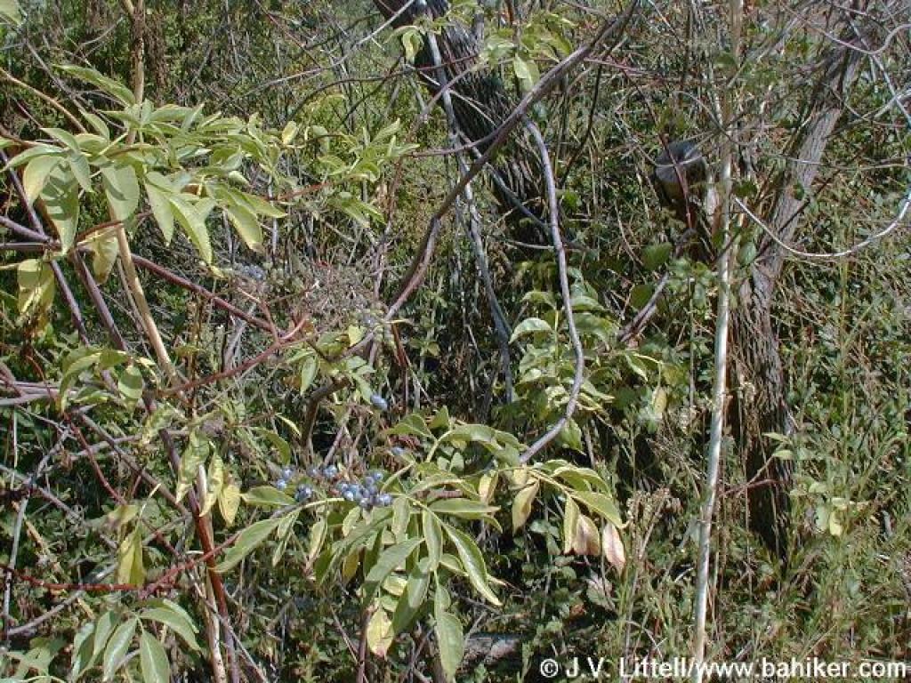
 Poison oak |
|||||
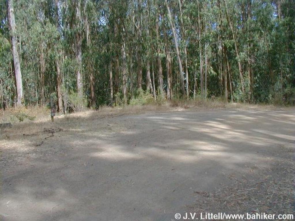
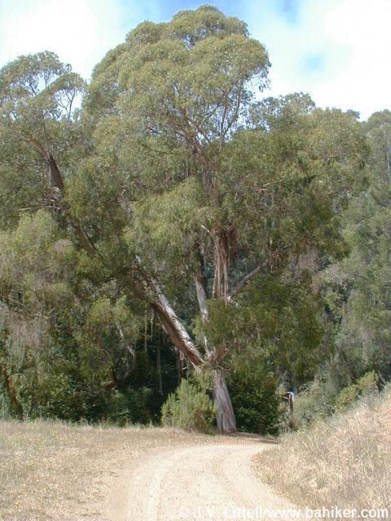
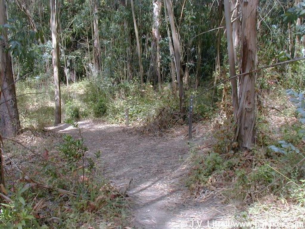
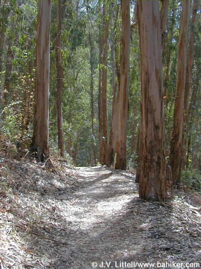
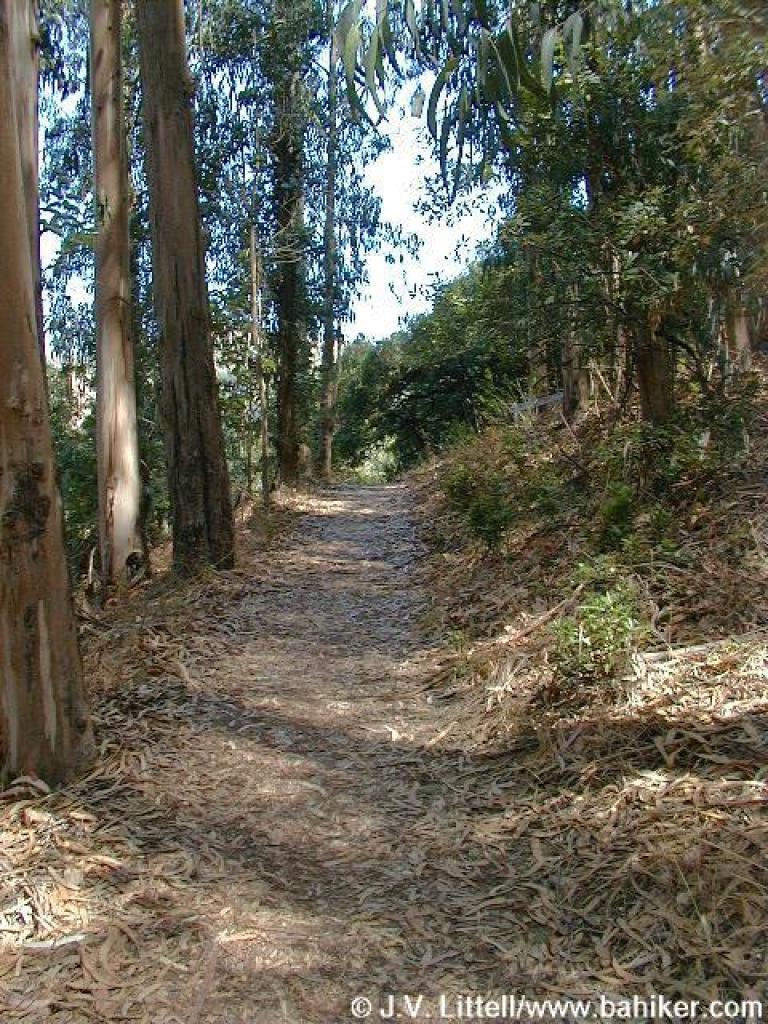
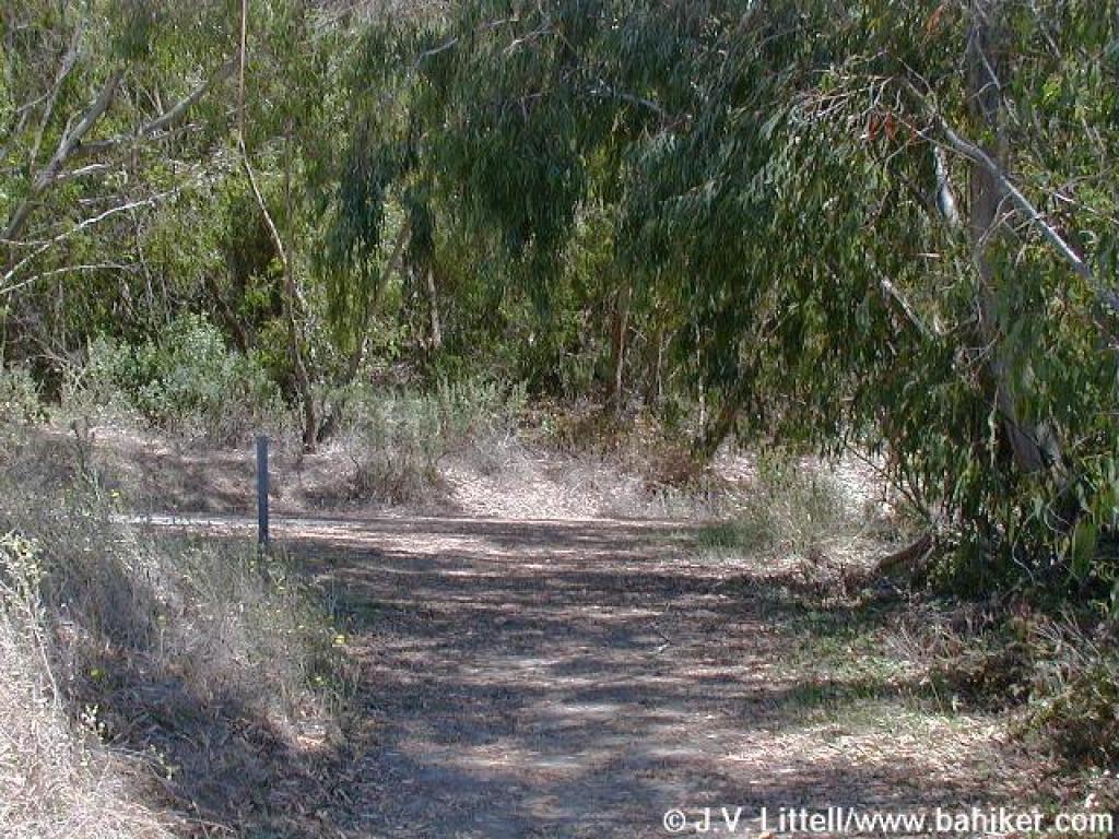
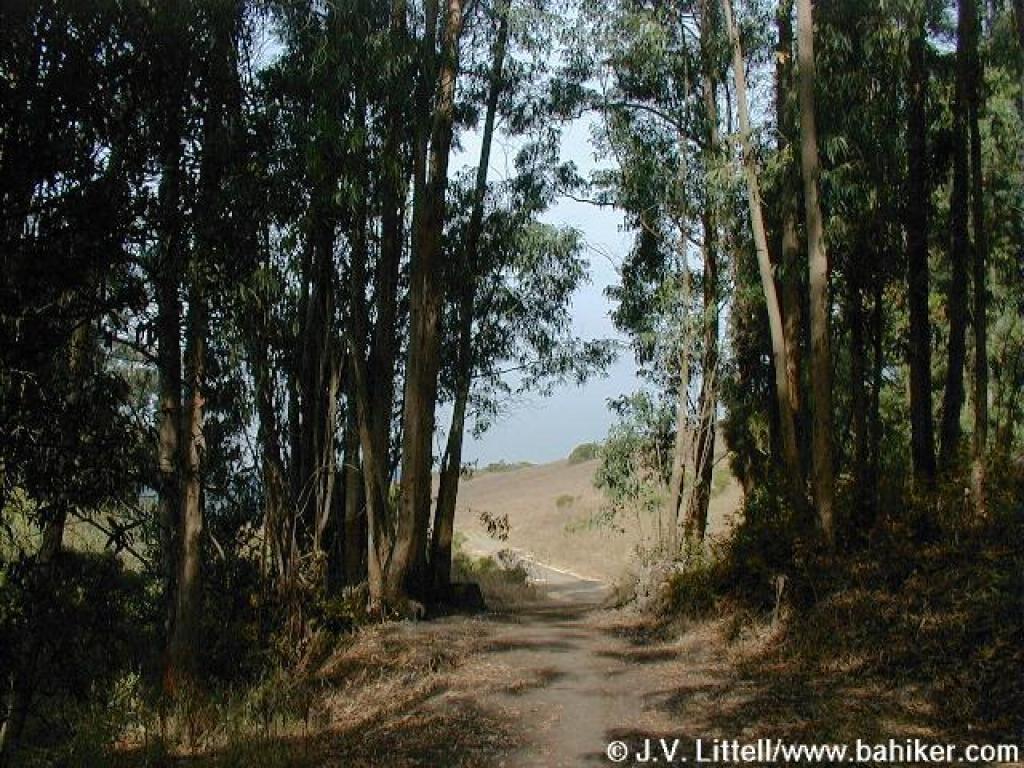 Exiting a grove of eucalyptus |
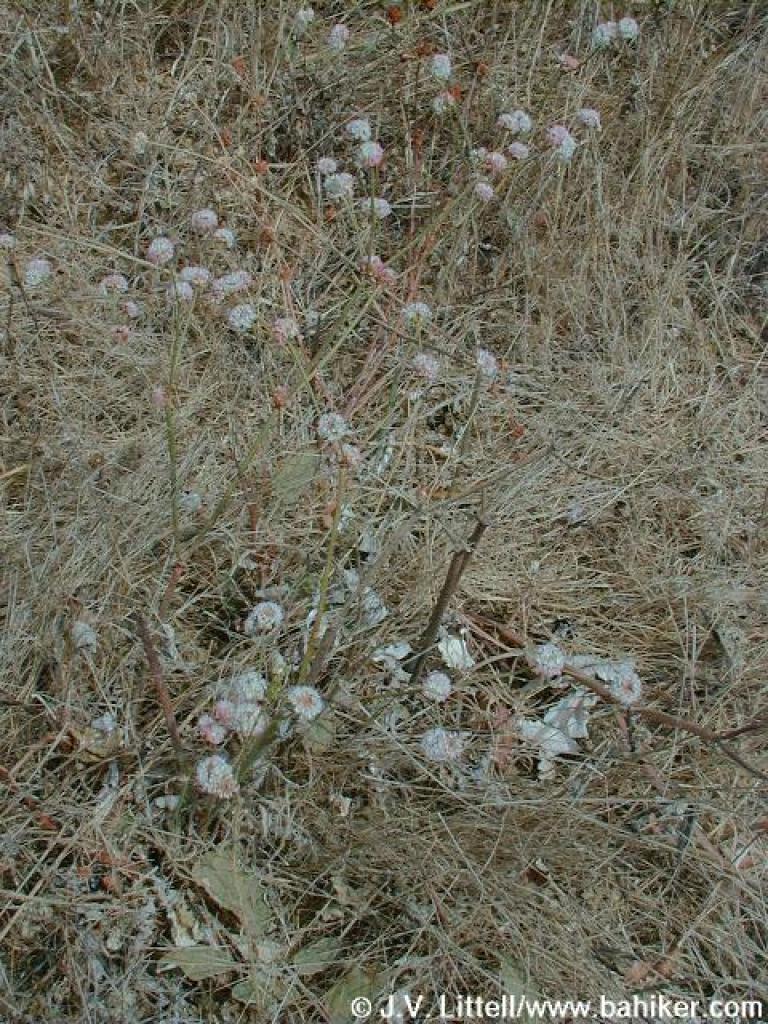
 Coyote brush |
 Buckwheat |
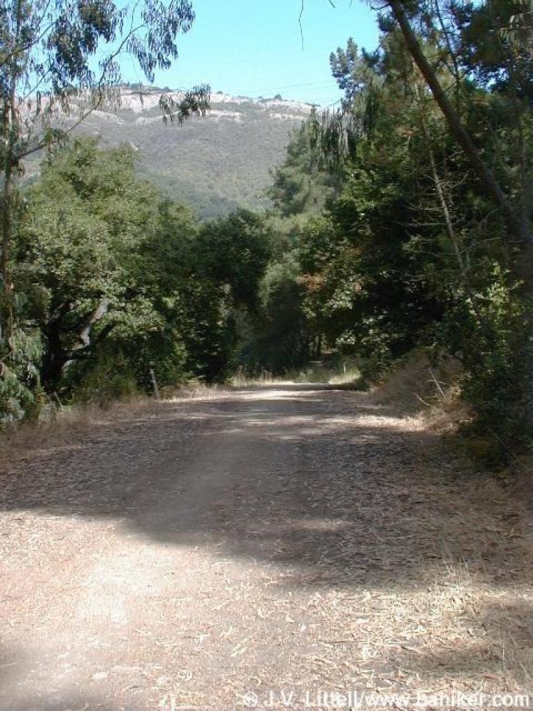
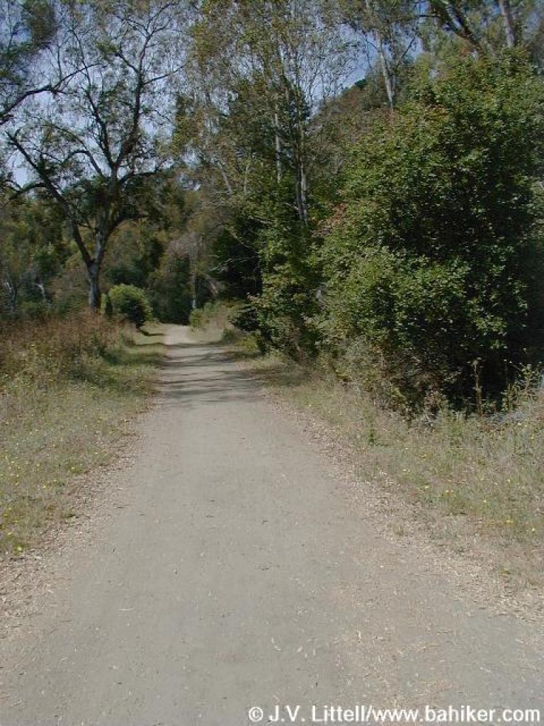
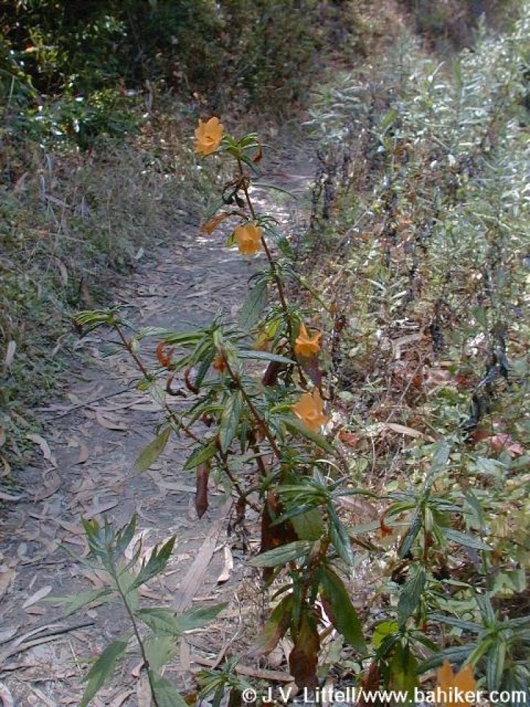
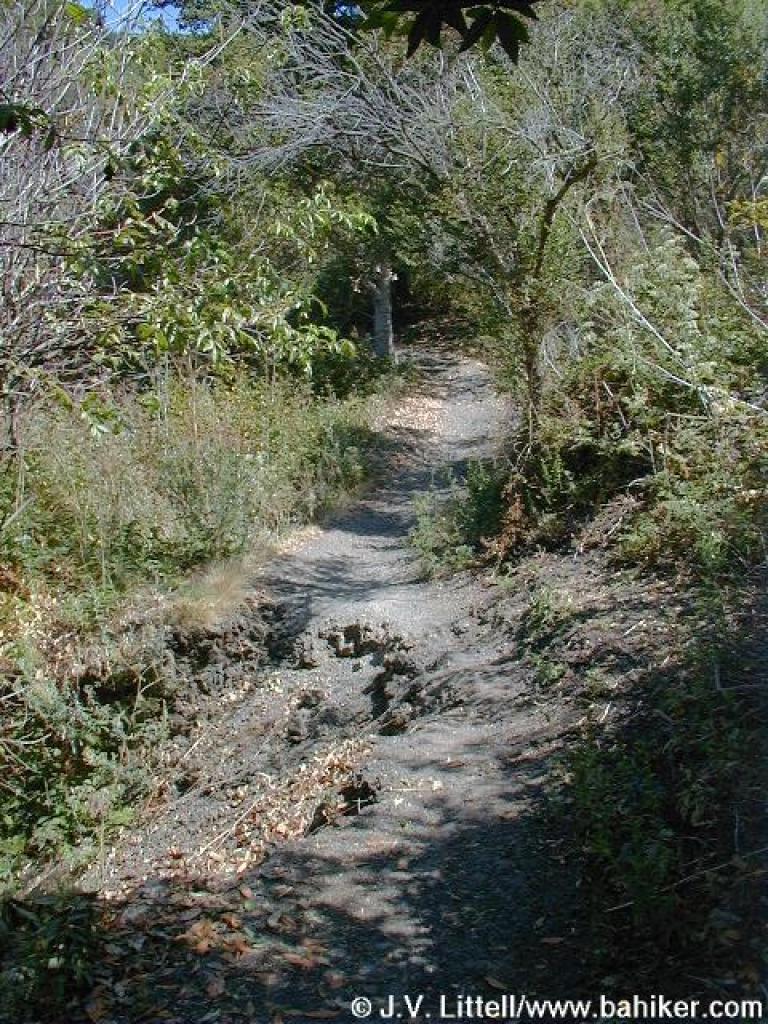
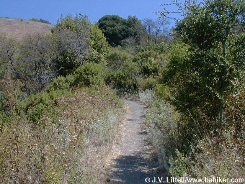
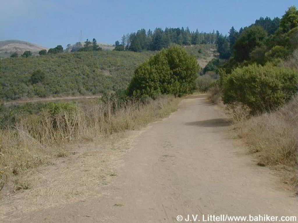 Meadows Canyon Trail |
|||||
 California bay |
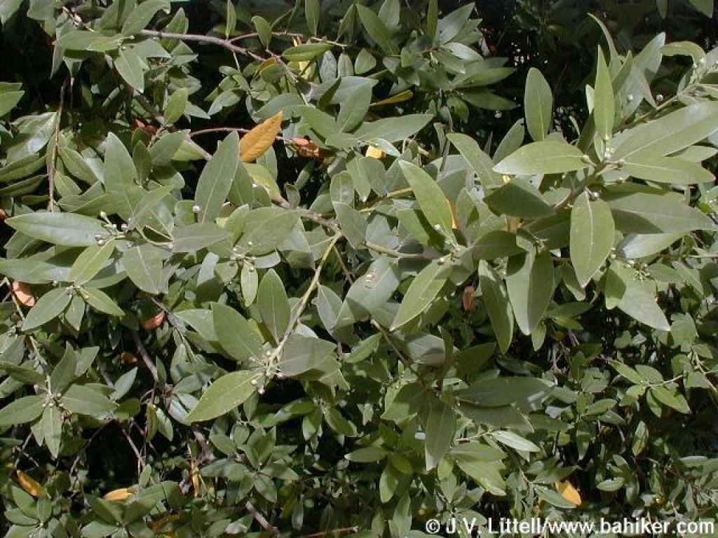
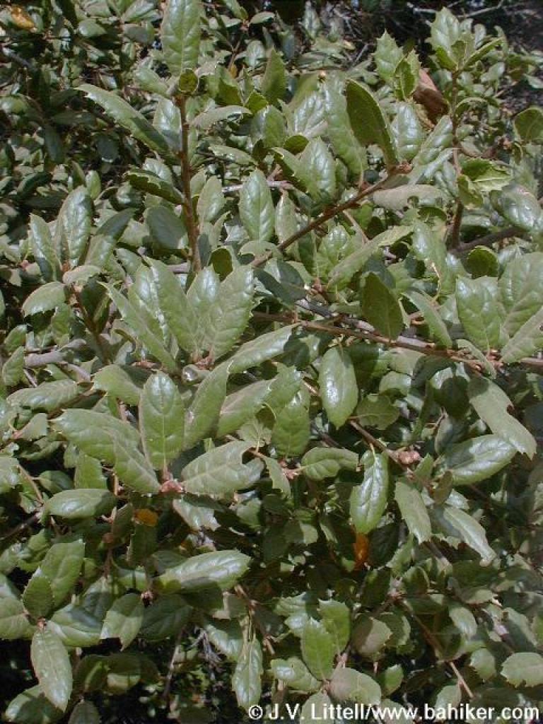 Coast live oak |
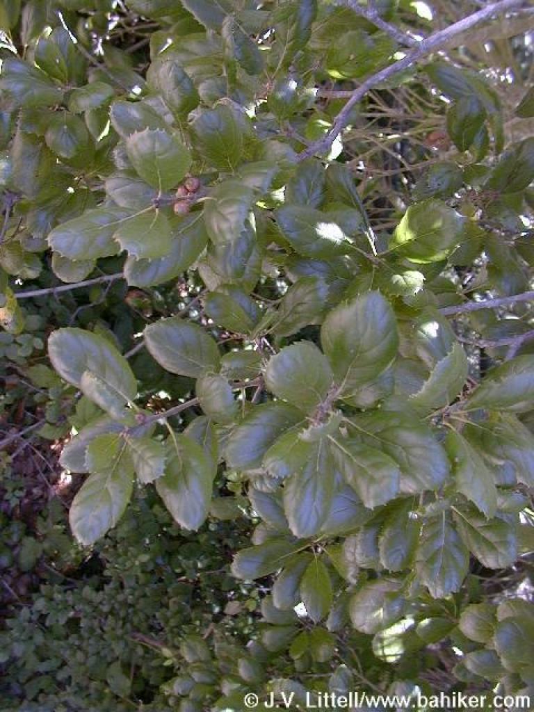
 California coffeeberry |
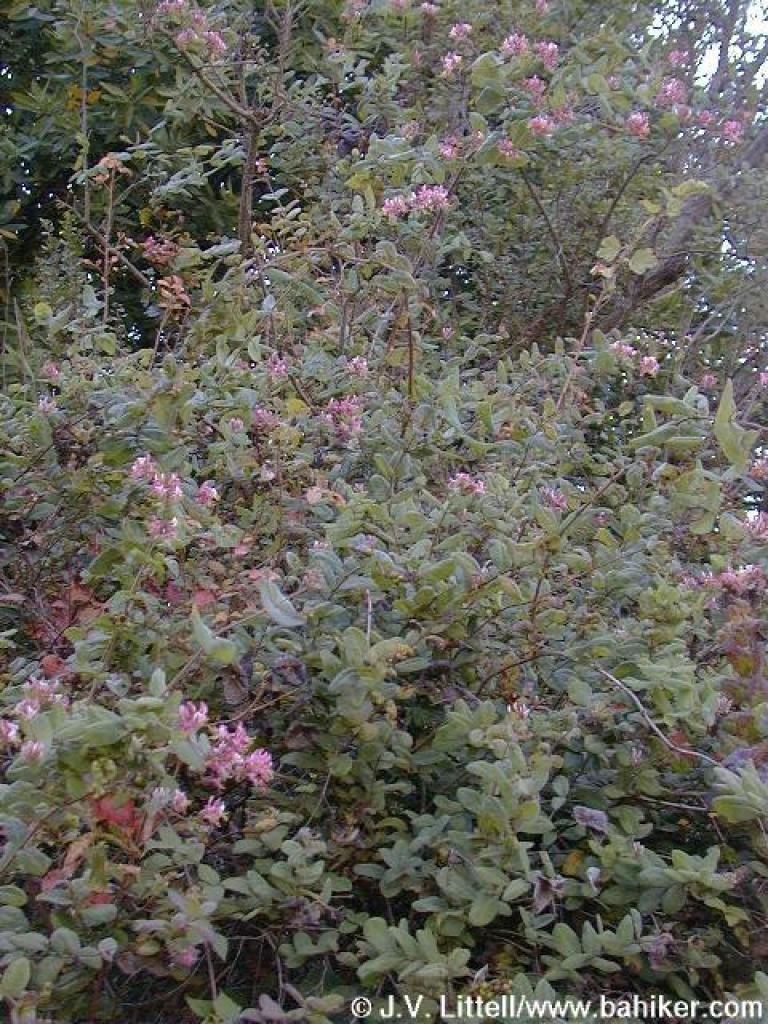 Honeysuckle |
|||||
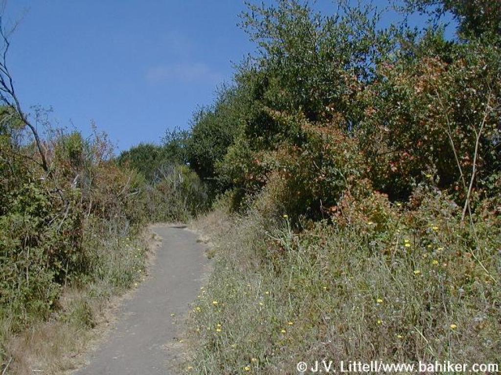
 Meadows Canyon Trail |
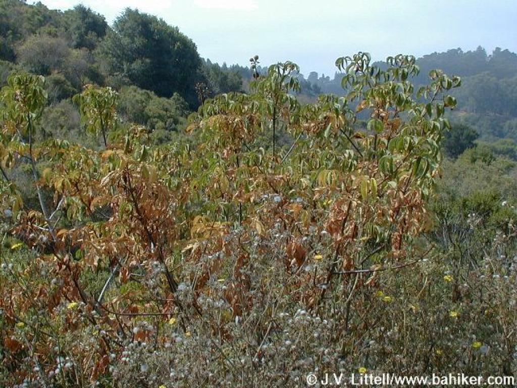 California buckeye |
 I call this stretch "Cardoon Alley" |
 Jewelled cardoon |
|||||
 Blue elderberry |
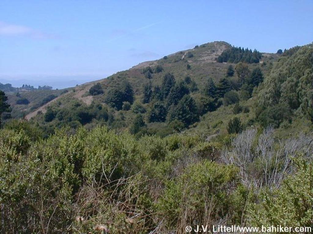
 View uphill |
 Back under trees |
 Redwood |
|||||
 Approaching junction with road |
 Heading into Tilden Nature Area |
 Gate |
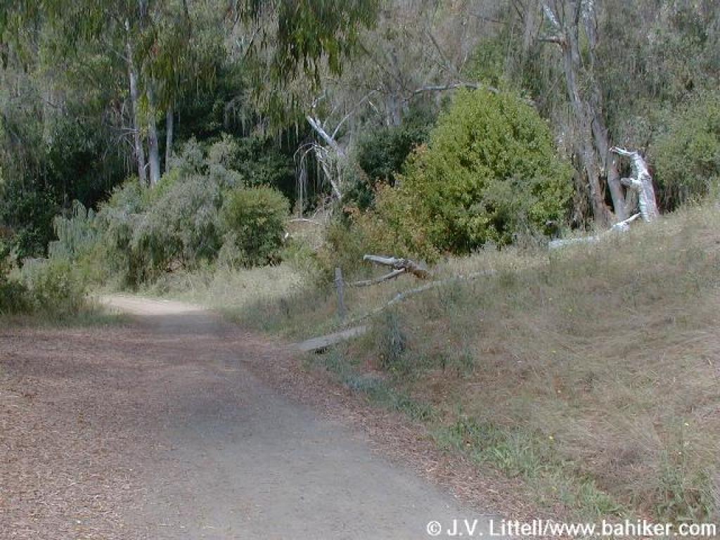
 Junction with road to New Woodland Group Camp |
|||||
 Broom |
 Junction with path to Little Farm |
 Junction with road to Wildcat View Group Camp |
 Junction with Pine Tree Trail |
|||||
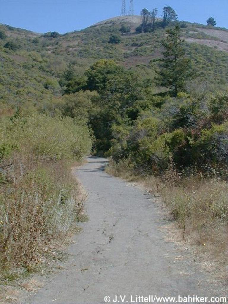
 Ridge is visible |
 Junction with Laurel Canyon Trail |
 Laurel Canyon Trail |
 Junction with fire road |
|||||
 Laurel Canyon Road |
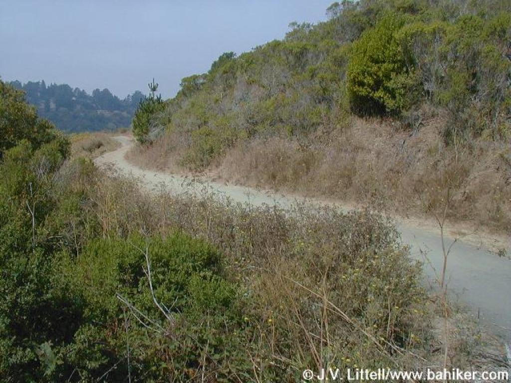
 Loop Road |
 Huge eucalyptus |
 Junction with Sylvan Trail |
|||||
 Sylvan Trail |
 Cotoneaster |
 Loop Road, approaching the junction with Jewel Lake Trail |
 Jewel Lake Trail |
|||||
 Rock |
 Junction |
 Wildcat Peak Trail |
 Narrow |
|||||
 Sticky monkeyflower |
 Near junction |
 Junction |
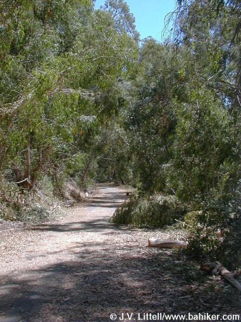
 Through eucalyptus |
|||||
 Trail edge is eroded |
 Poison oak on the side of the trail |
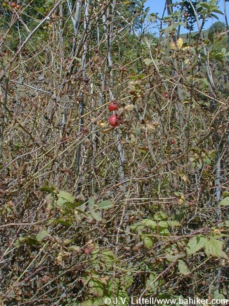 Rose hips |
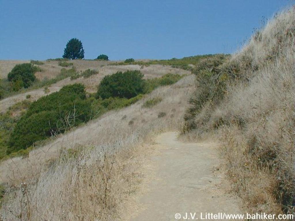
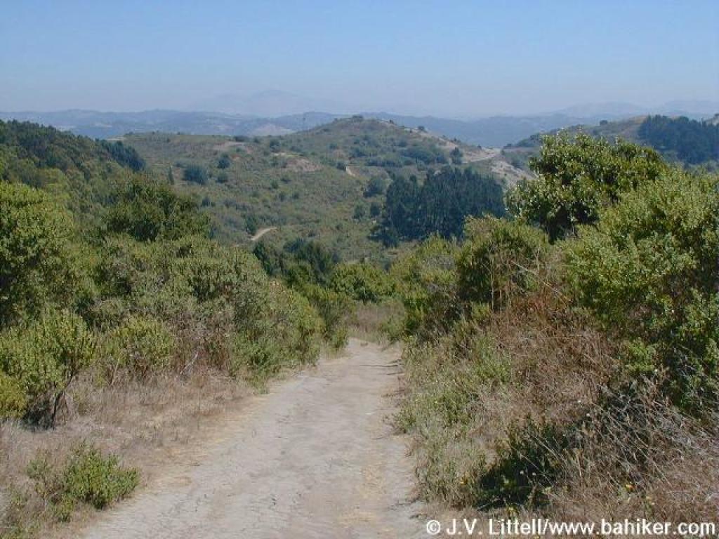
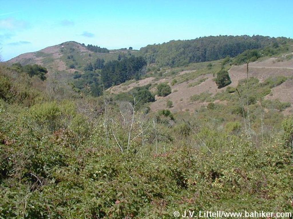
 Ridge can be seen |
|||||
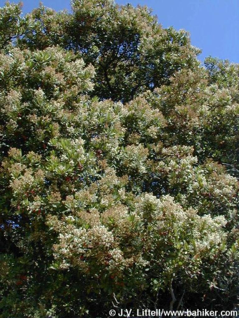 Toyon |
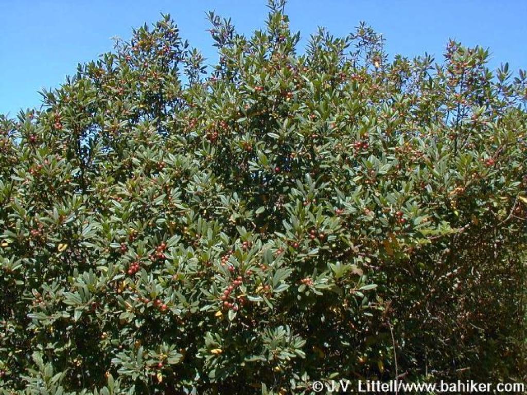 Coffeeberry |
 Junction with hogback |
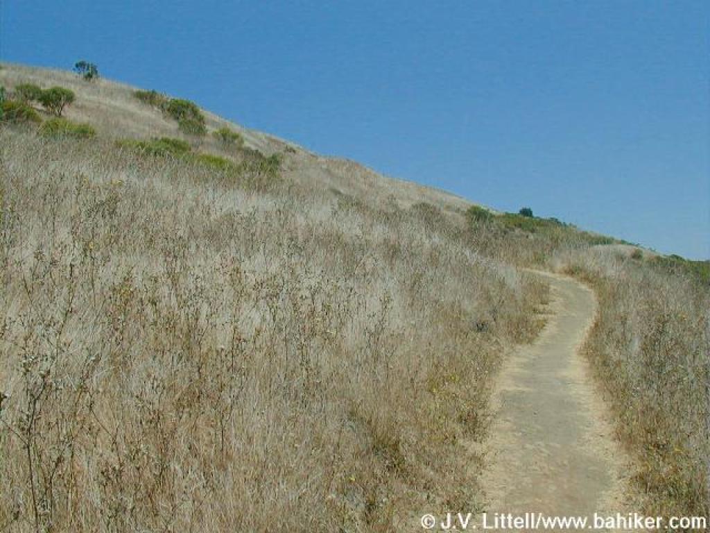 Through the grassland |
|||||
 North |
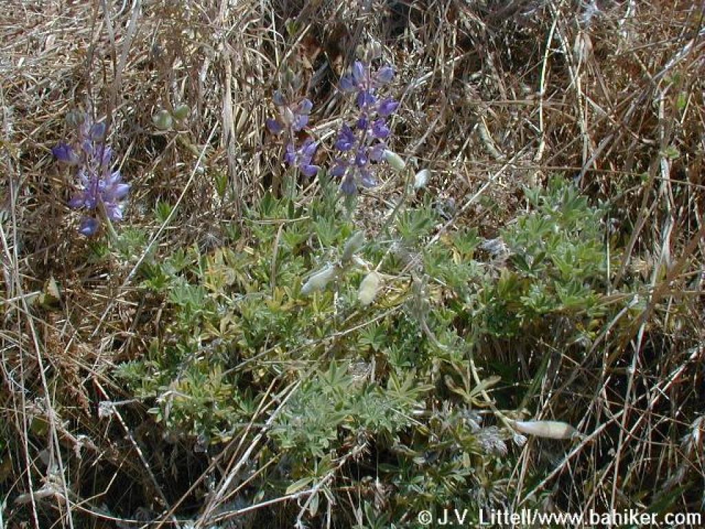 Lupine |
 Trail levels out |
 Junction with path to Wildcat Peak |
|||||
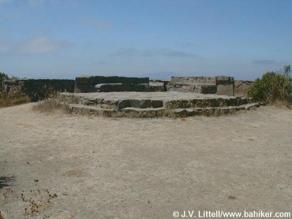 Wildcat Peak and the lookout built by the Rotary Club |
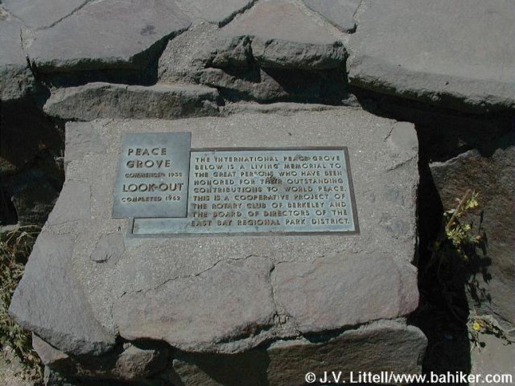 Plaque |
 South, toward Vollmer Peak |
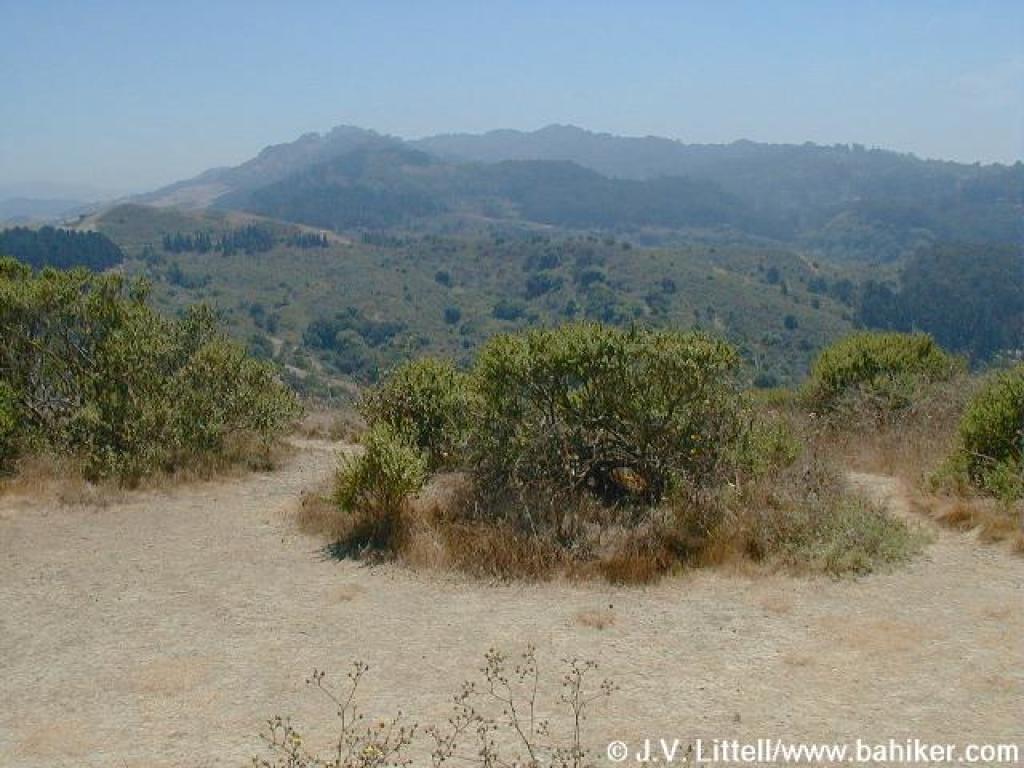
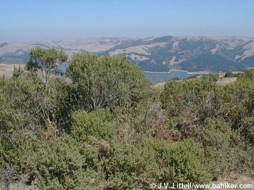 Northeast, toward San Pablo Reservoir |
|||||
 A steep drop on the Wildcat Peak Trail |
 Rotary Peace Grove |
 Junction |
 Junction |
|||||
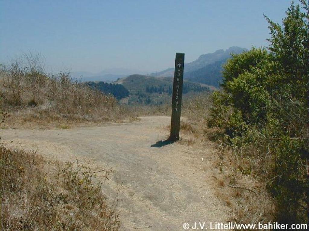
 Nimitz Way |
 Looking back to Wildcat Peak |
 Junction |
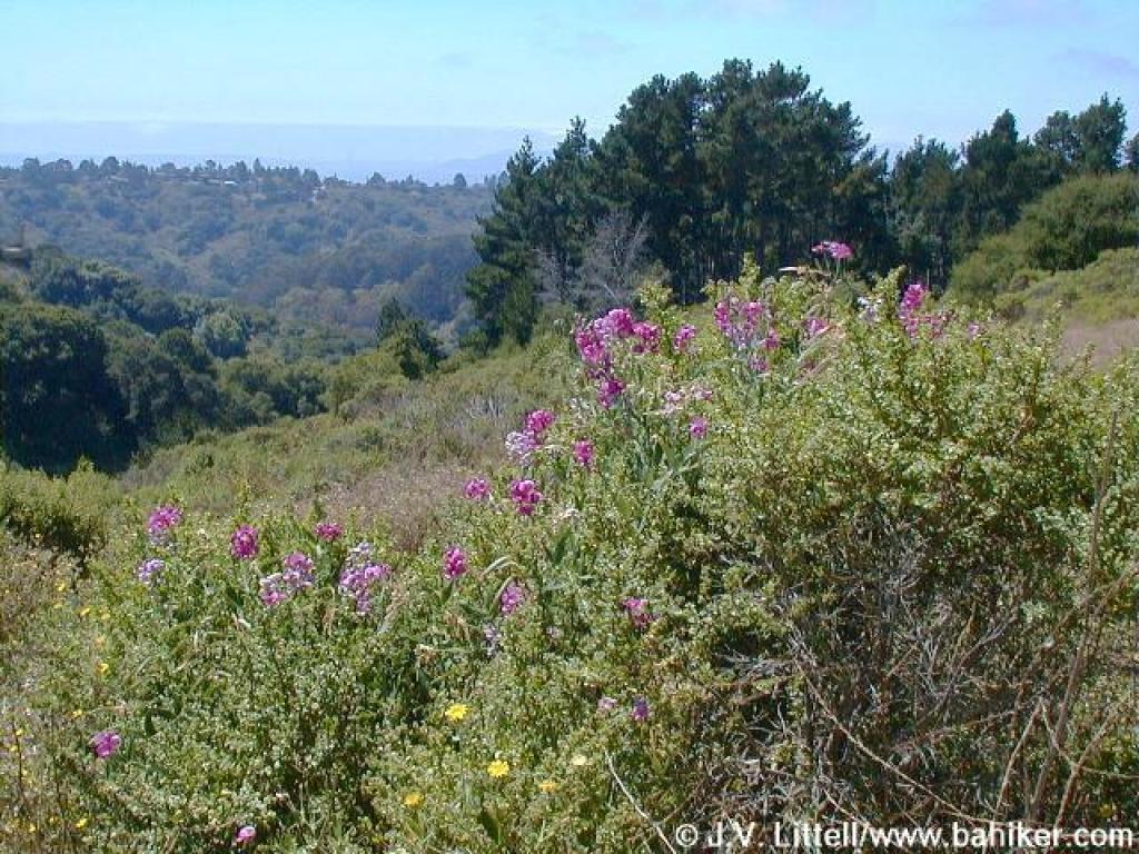 Sweet peas |
|||||
 Coast live oak |
 Nimitz Way |
 A last look back |
 Plum tree |
|||||
 Nimitz Way |
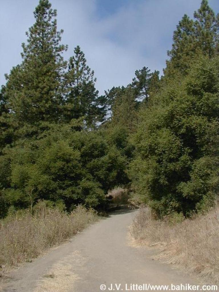
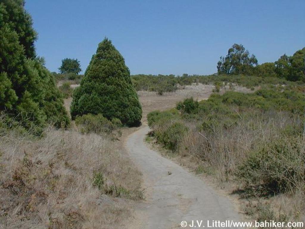
 Through Monterey pines |
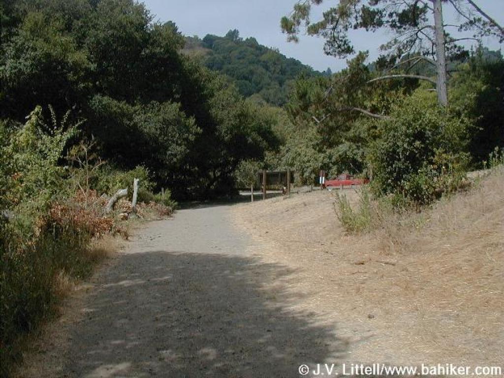
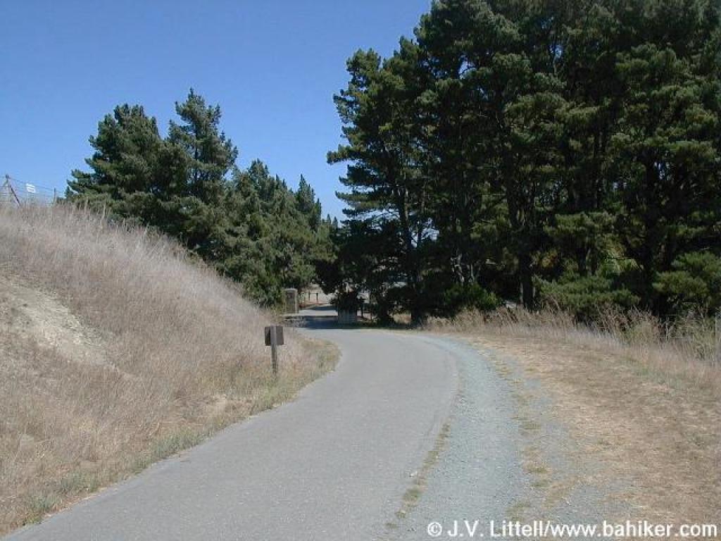 Back at the trailhead |
Go to Bay Area Hiker Tilden Regional Park page Go to Bay Area Hiker Home page |
|||||