| Photos
from a May 2002 hike at Tilden Regional Park (click on any image for a larger view) |
|||||||
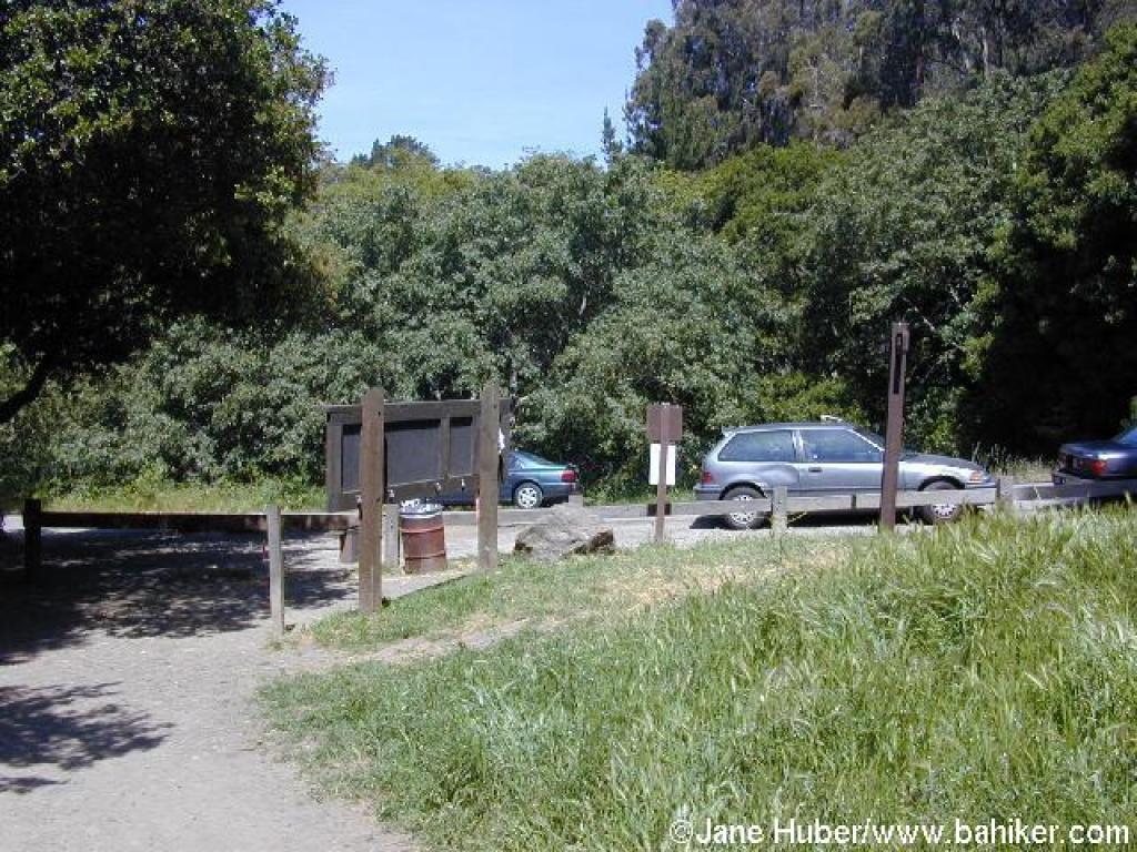
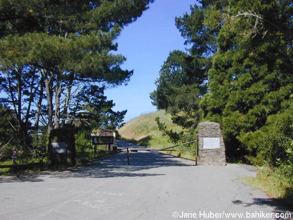 Start, at Nimitz Gate |
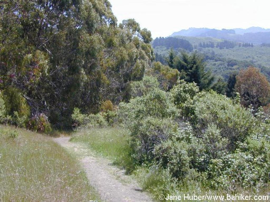
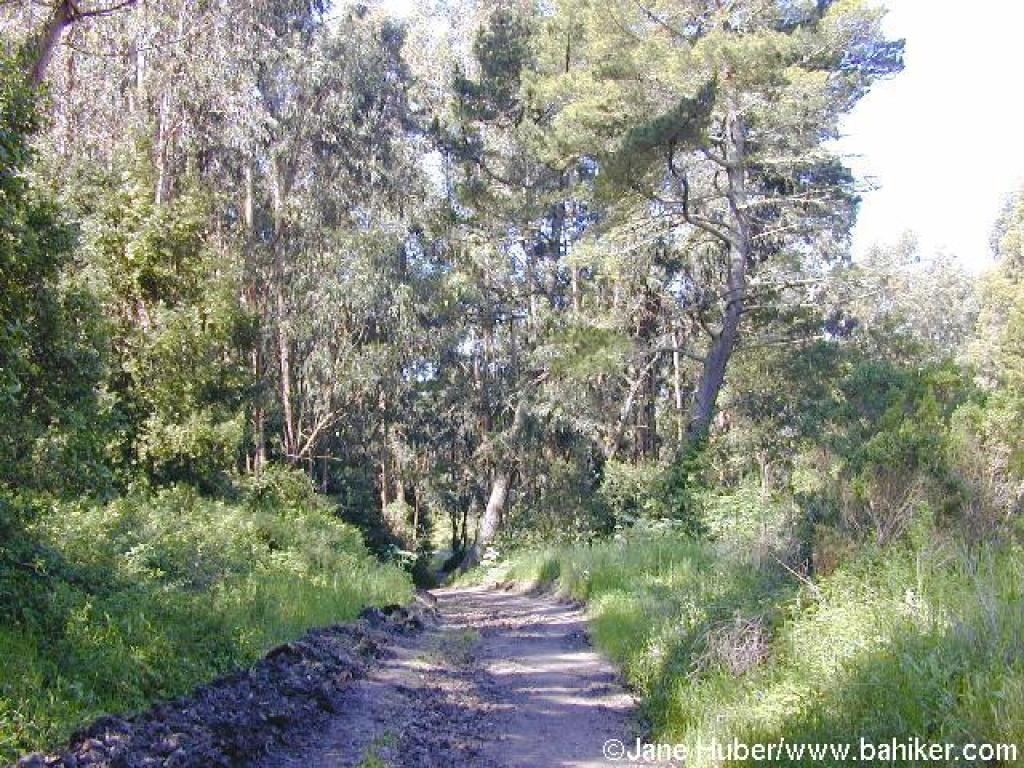 Curran Trail |
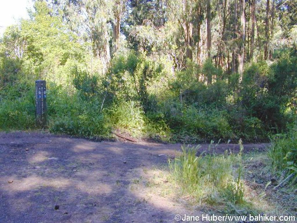 Junction |
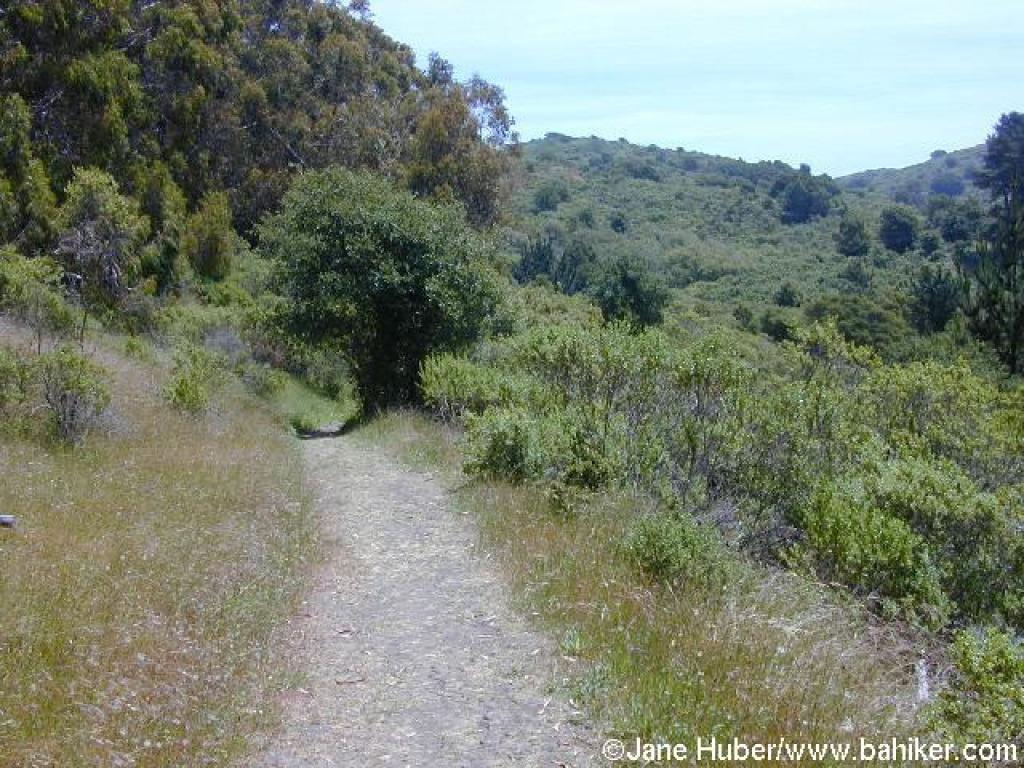
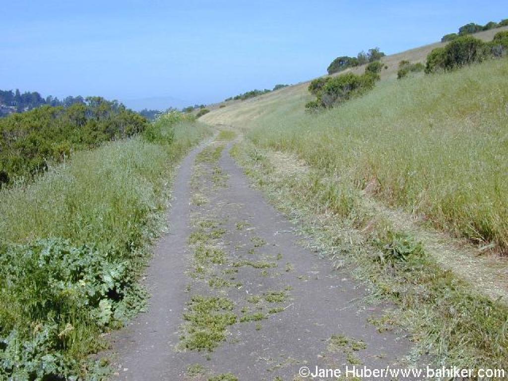 Meadows Canyon Trail |
||||
 Cardoons of the side of the trail |
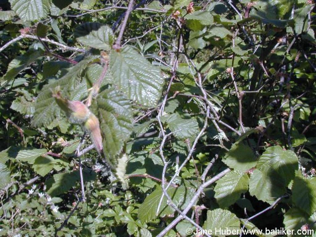 Hazelnut |
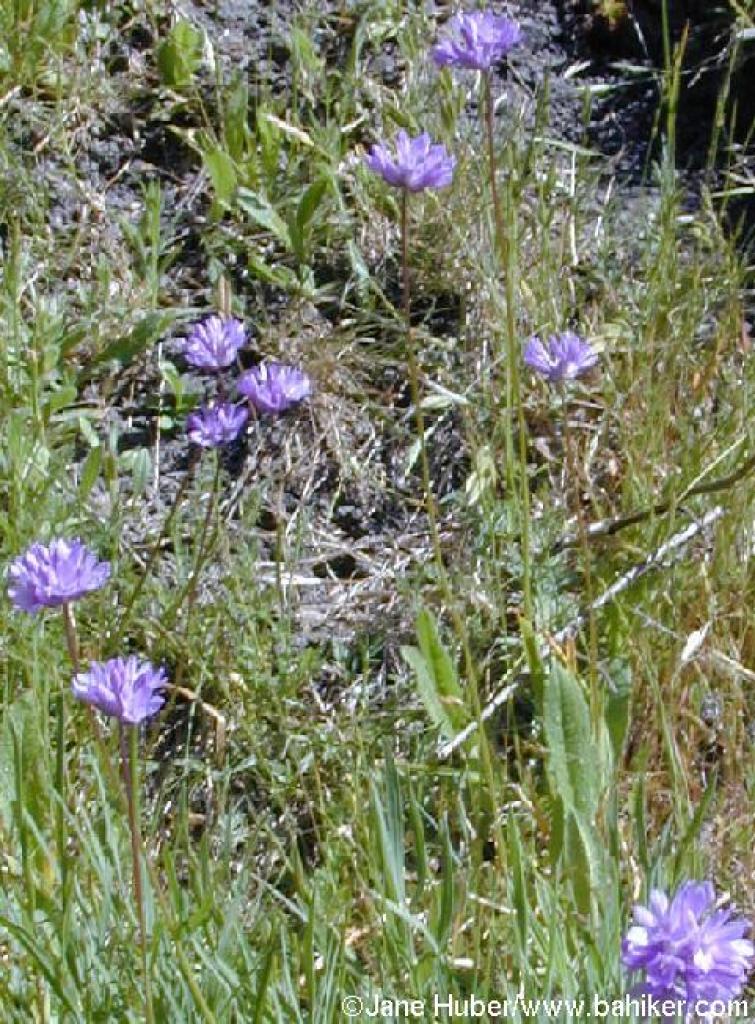 Bluedicks |
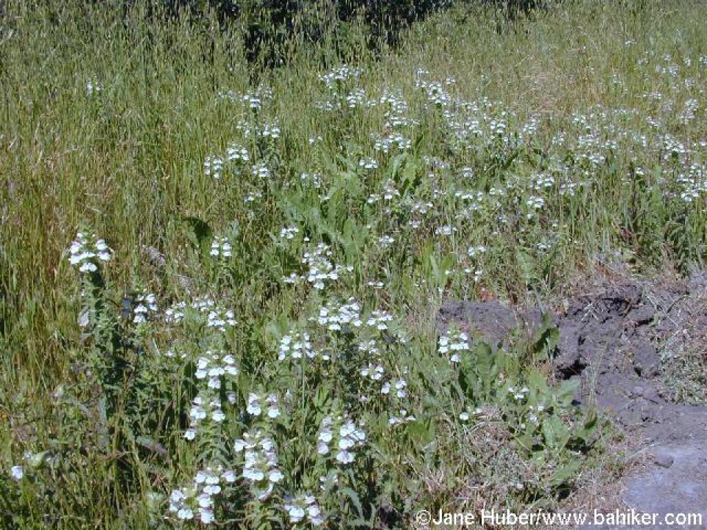 Bellardia |
||||
 Junction with Loop Road |
 Gate at the entrance to Tilden Nature Area |
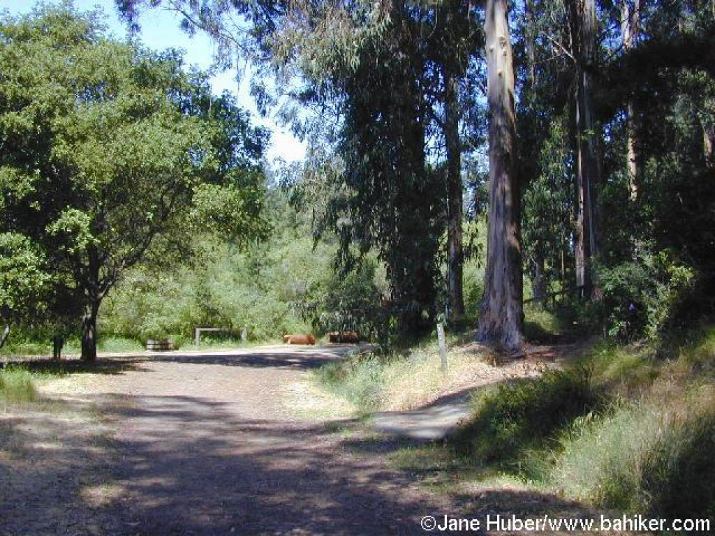
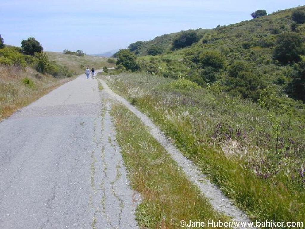
 Loop Road |
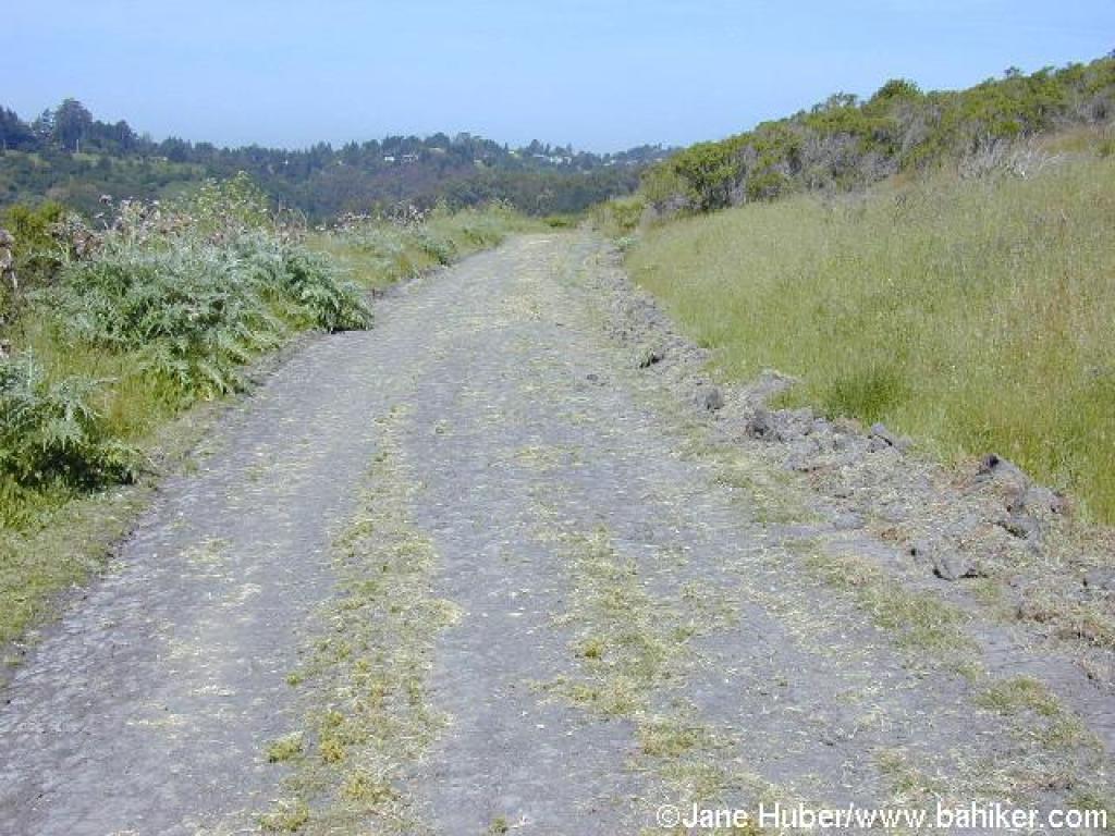
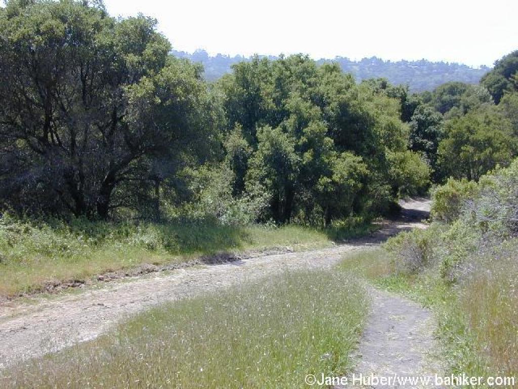
 An open stretch |
||||
 Junction with Wildcat Creek Trail |
 Wildcat Creek Trail |
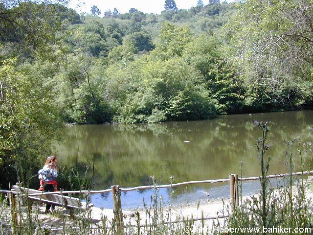 Jewel Lake |
 Junction with Wildcat Peak Trail |
||||
 Junction with Jewel Lake Trail |
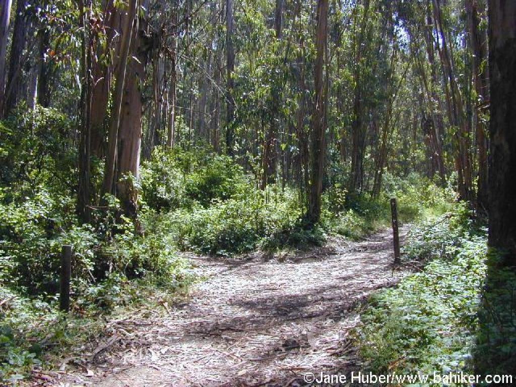
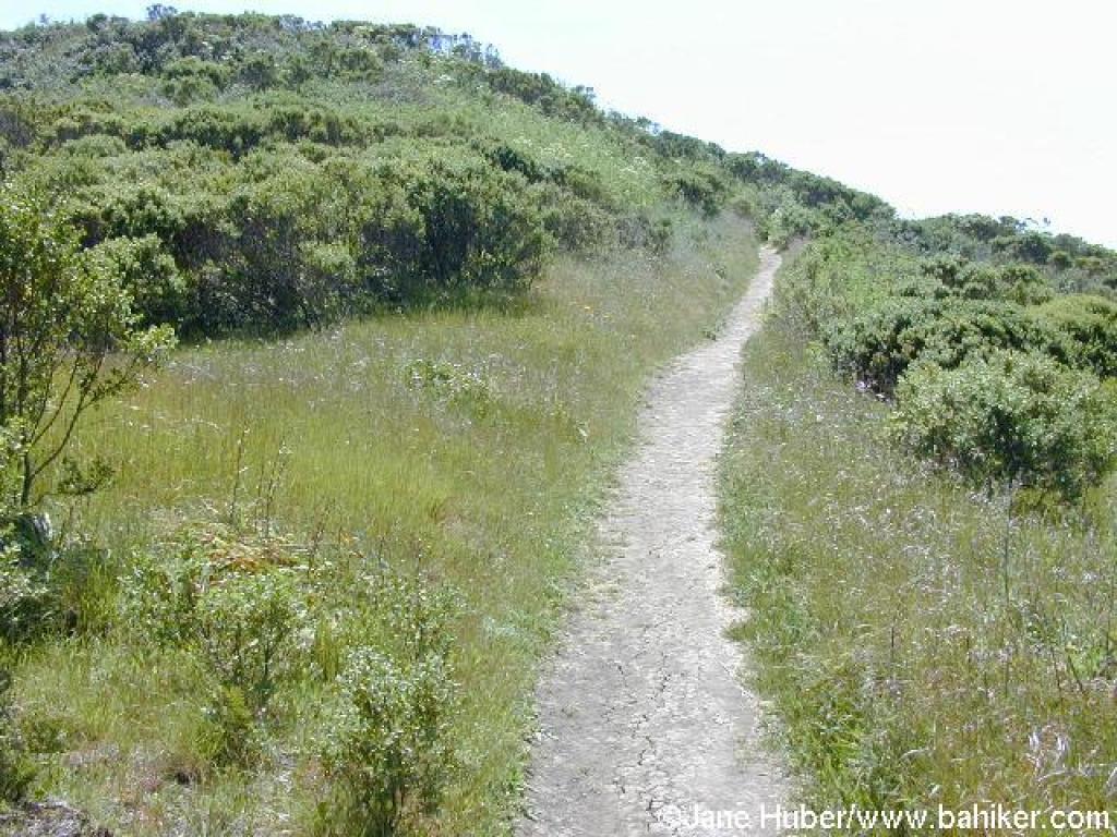
 Wildcat Peak Trail |
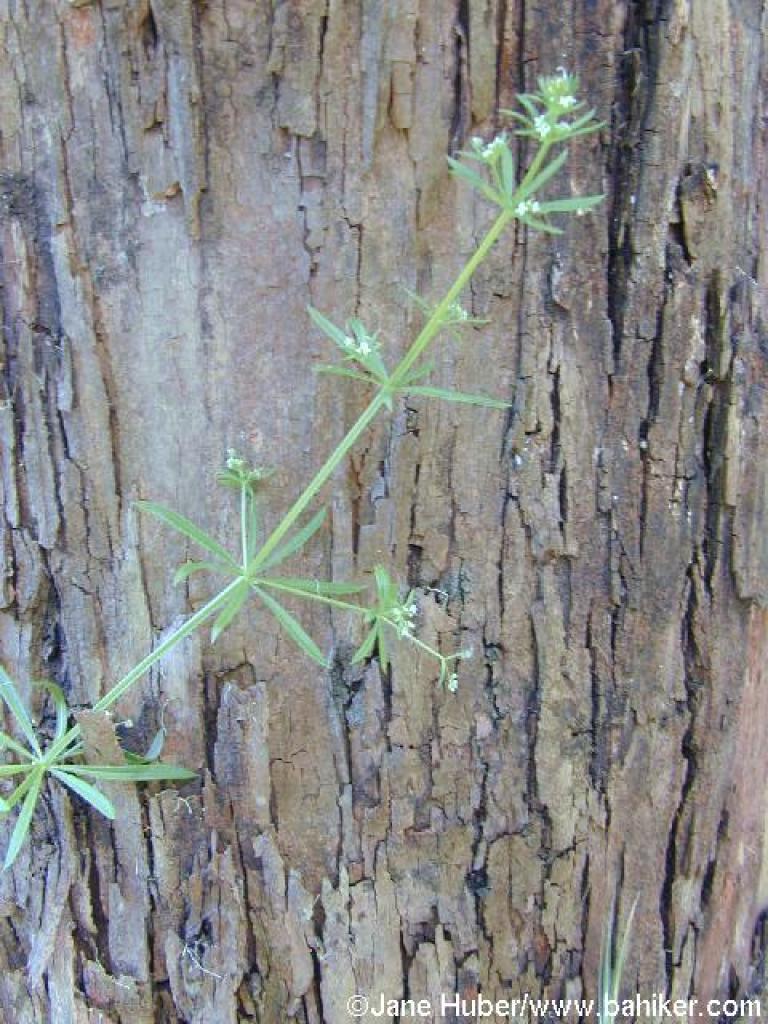 Bedstraw |
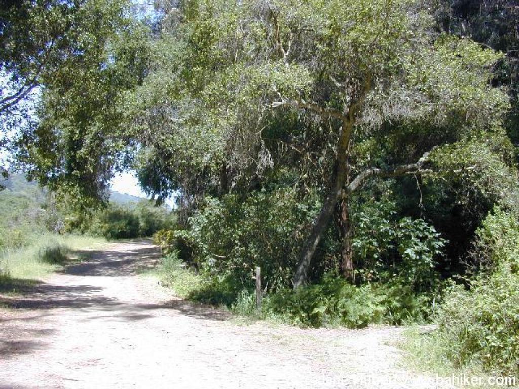
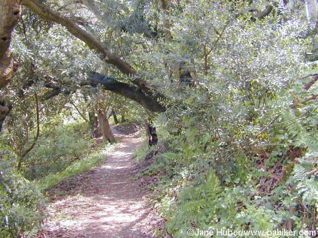
 Under a coast live oak |
||||
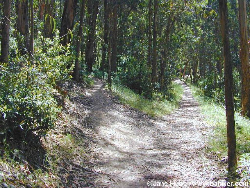 Shortcut |
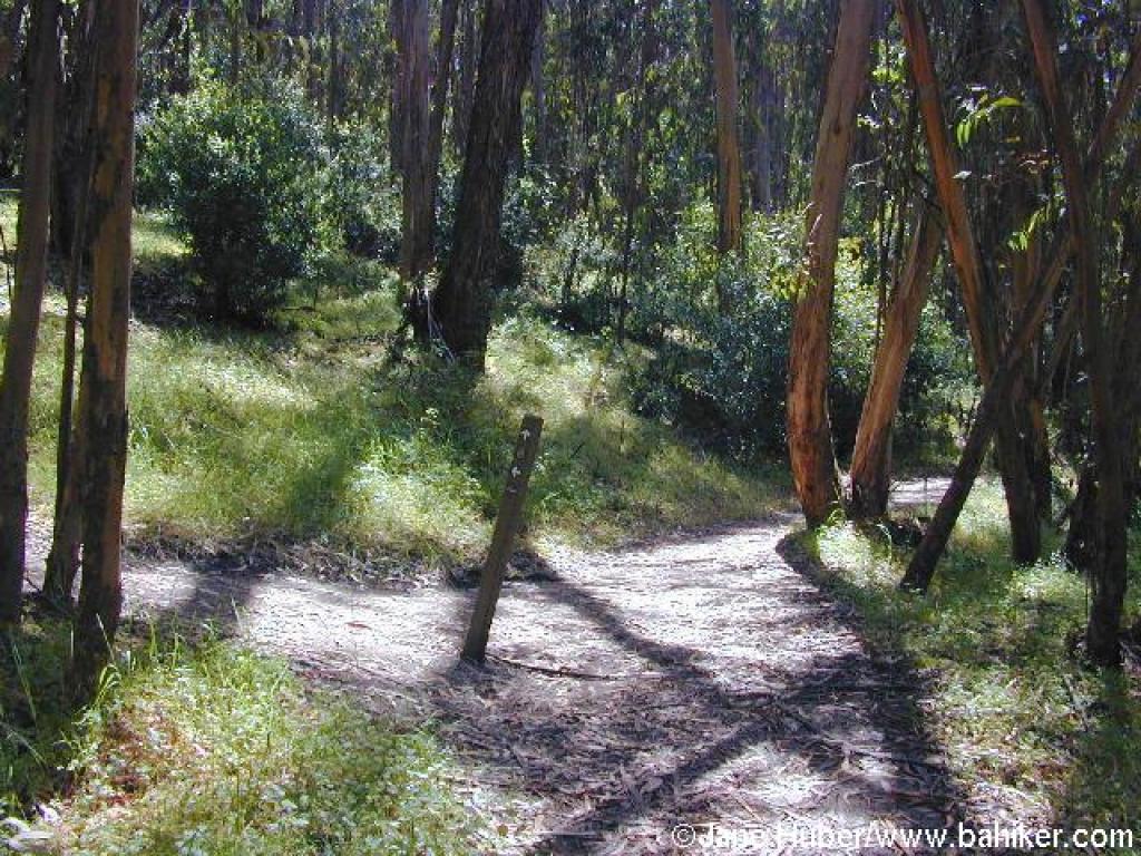 Junction with Sylvan Trail |
 Wildcat Peak Trail |
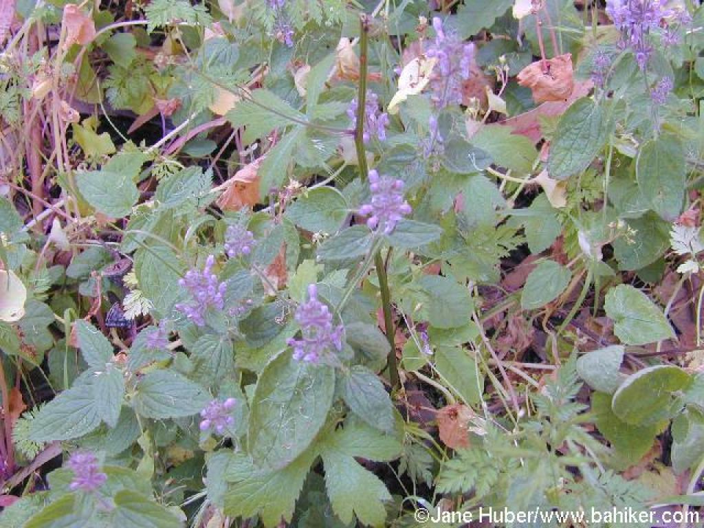 Hedge nettle |
||||
 California bays on the side of the trail |
 Into chaparral |
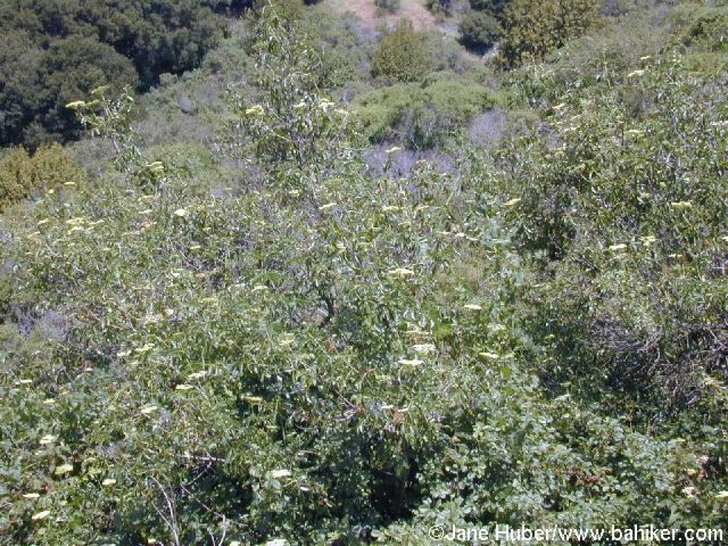 Blue elderberry |
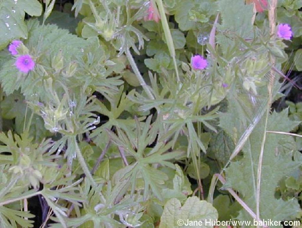 Cutleaf geranium |
||||
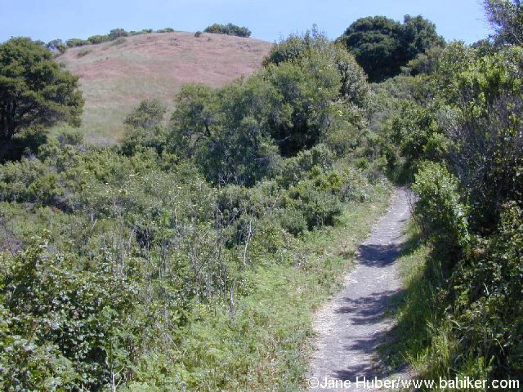
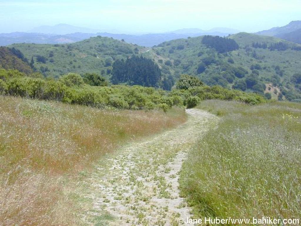
 Ascending through grassland |
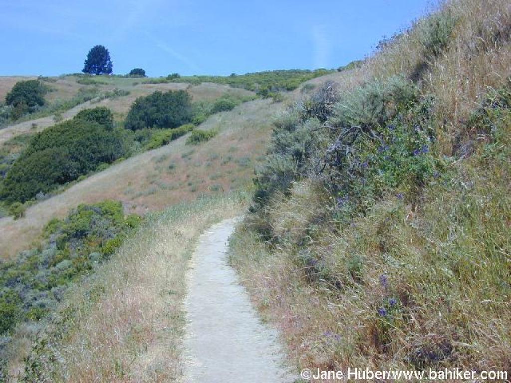 Heading to the top of Wildcat Peak |
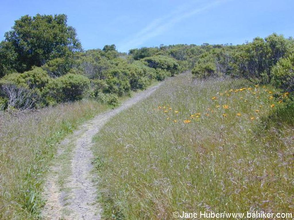 Mule ear sunflowers along the trail |
 Still climbing |
||||
 Junction |
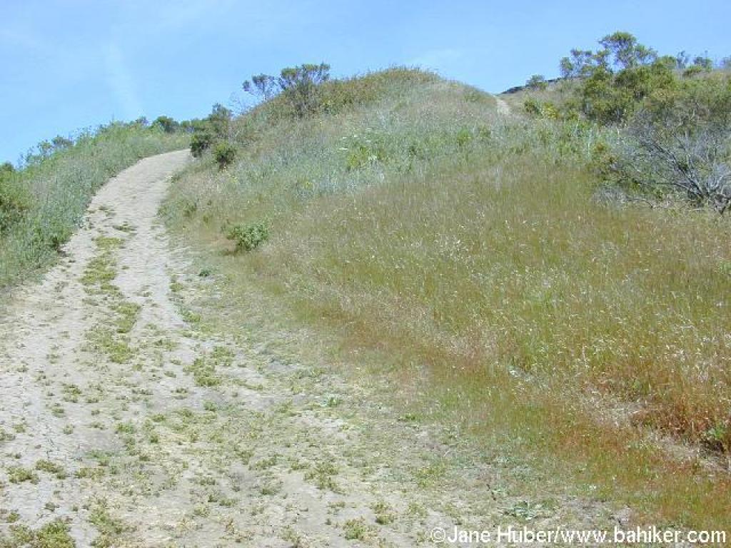 Last push to the top |
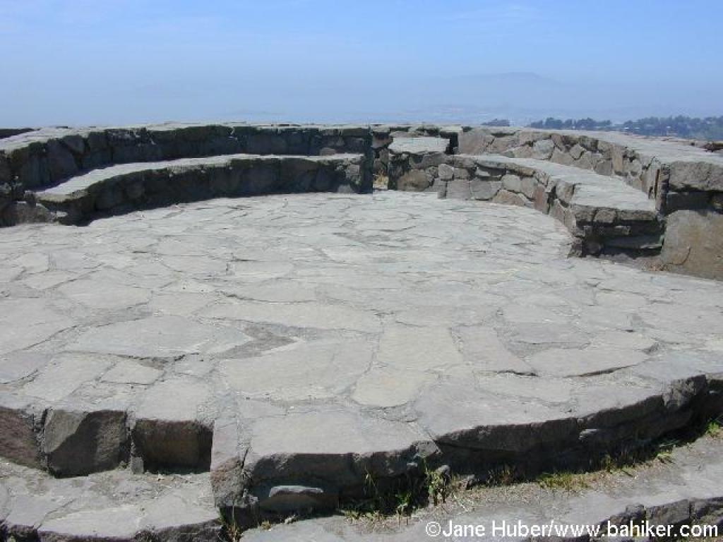 At the top |
 Descending |
||||
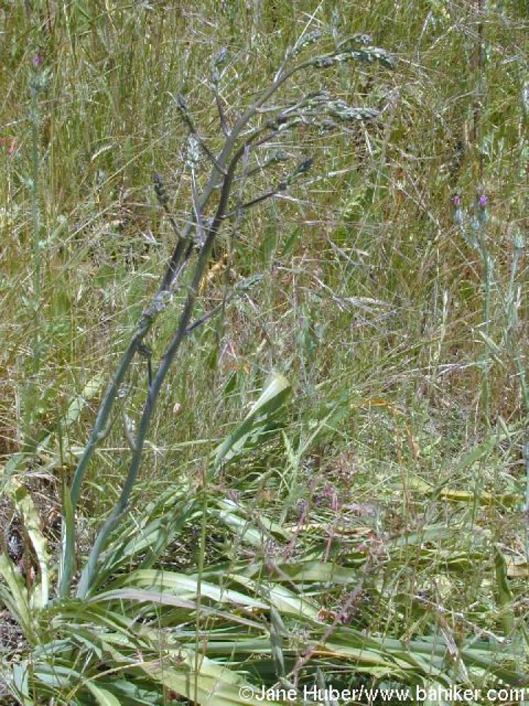 Soap plant |
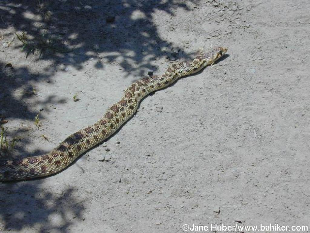 Gopher snake |
 Approaching Rotary Peace Grove |
 Junction |
||||
 Trail to Laurel Canyon Road |
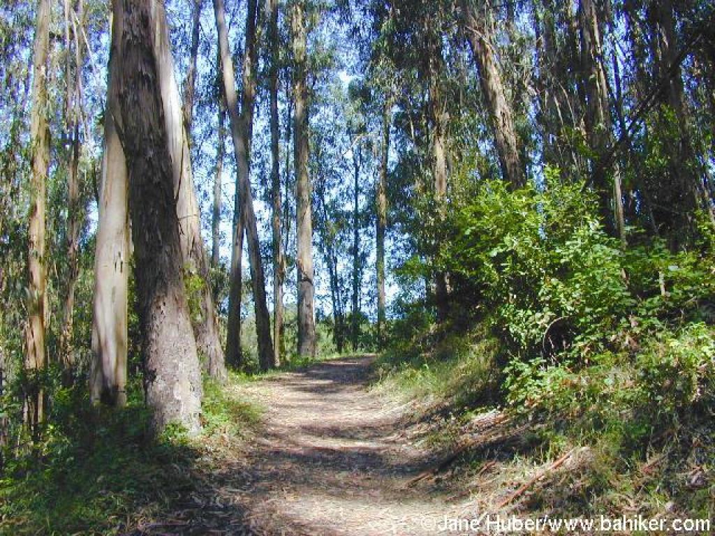
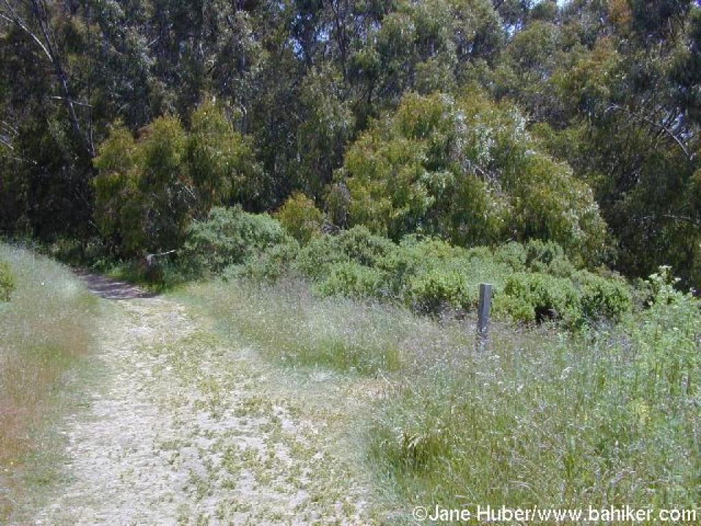
 Descending through grassland, coast live oaks, and eucalyptus |
 Junction |
 Laurel Canyon Road |
||||
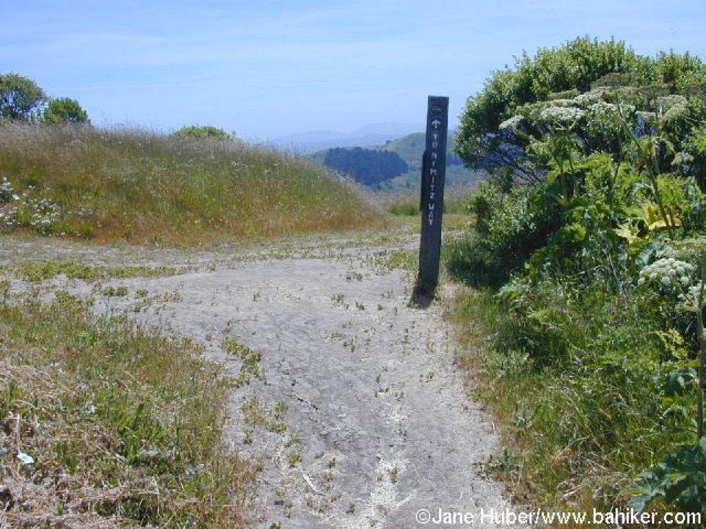
 Junction |
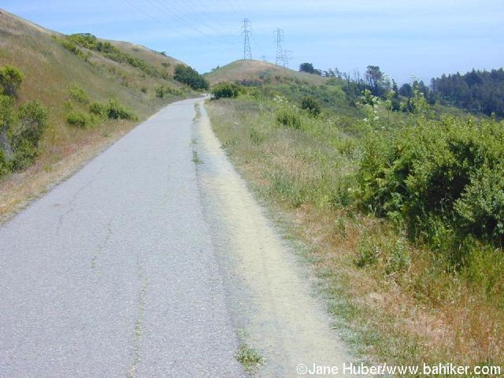
 Nimitz Way |
 Slight ascent |
 Returning to the trailhead |
||||
 Butterfly |
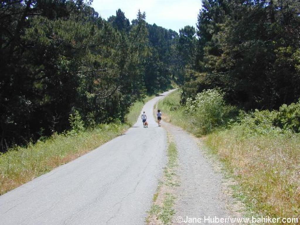 Trees obscure views near the end of the trail |
 Returning to Nimitz Gate |
Go to Bay Area Hiker Tilden page Go to Bay Area Hiker Home page |
||||