| Photos
from an August 2001 hike at Estero Trailhead/Point Reyes (click on any image for a larger view) |
|||||||
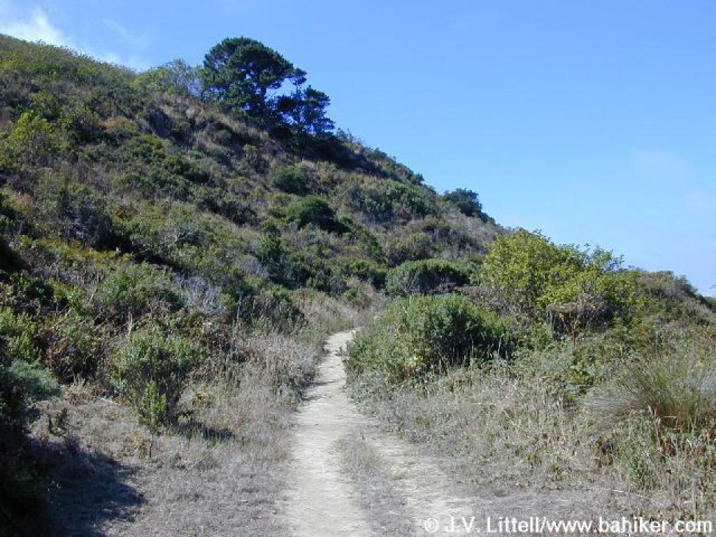
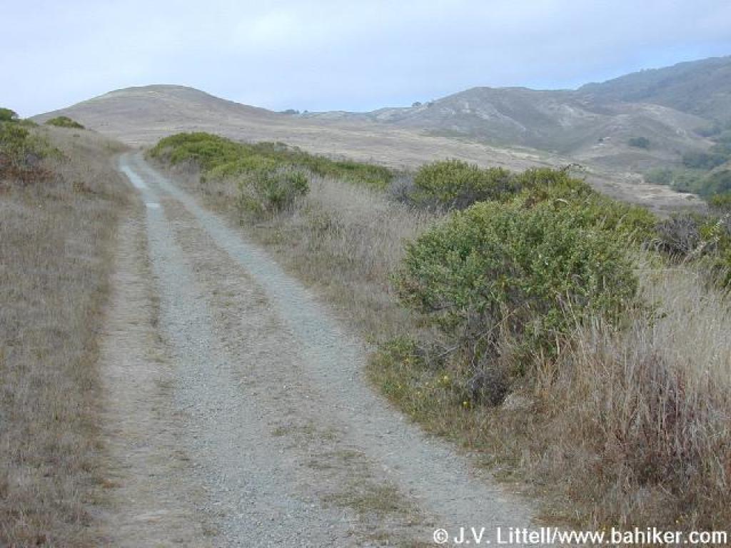
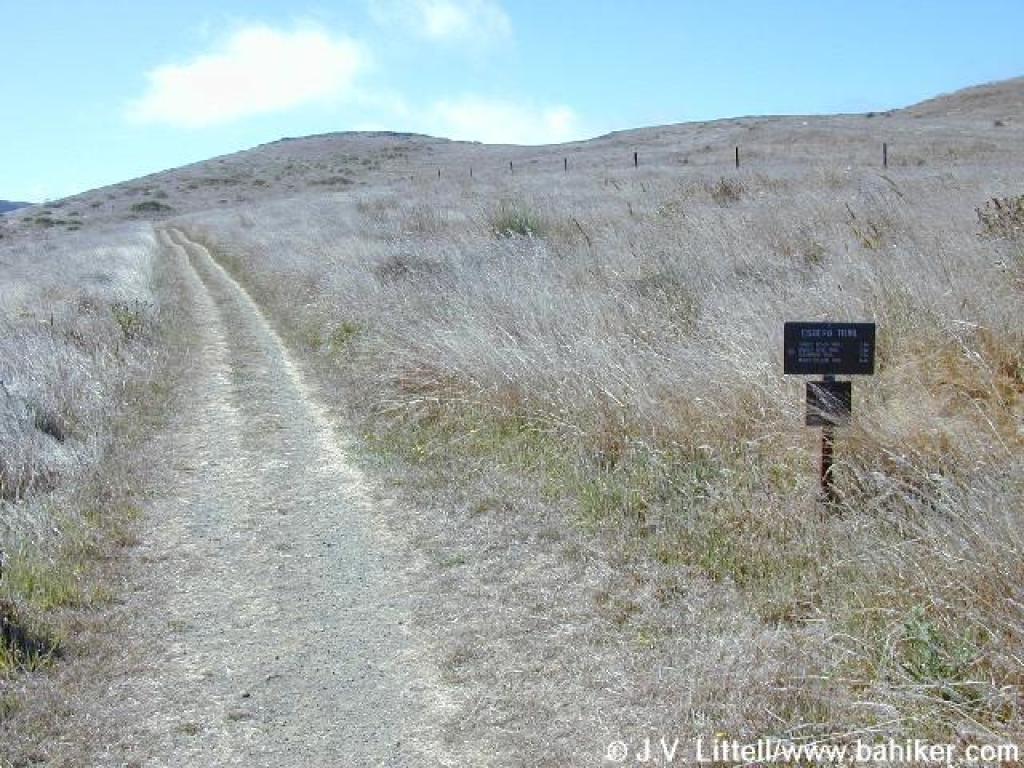 Start of Estero Trail |
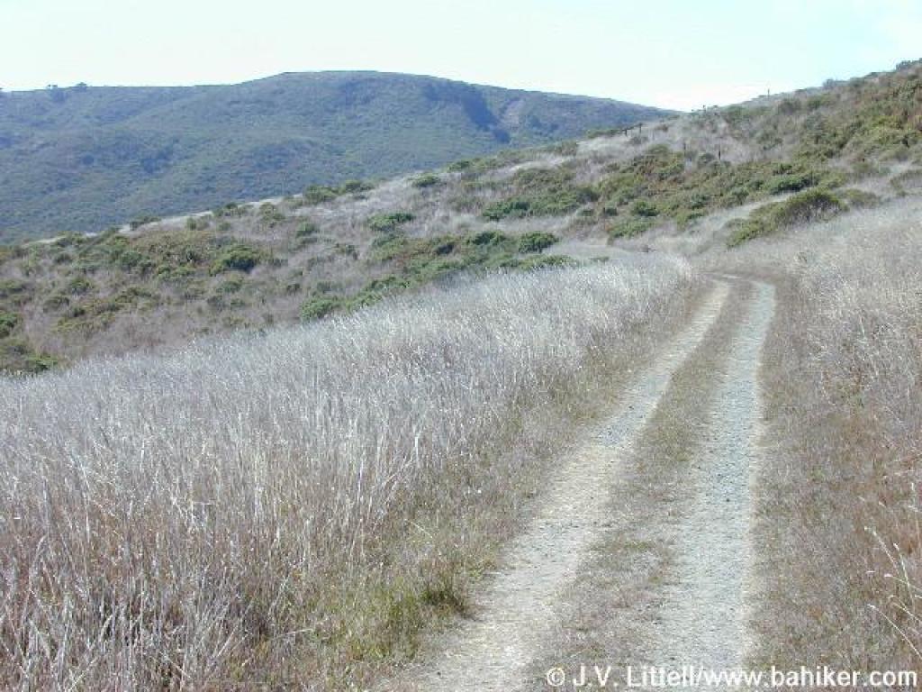 Trail descends easily through grassland |
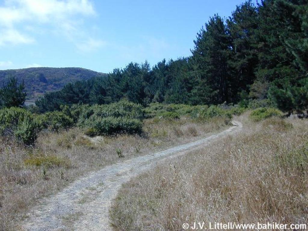
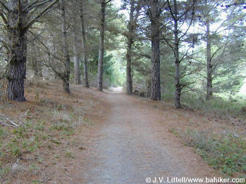
 Approaching woods |
 Pine forest |
||||
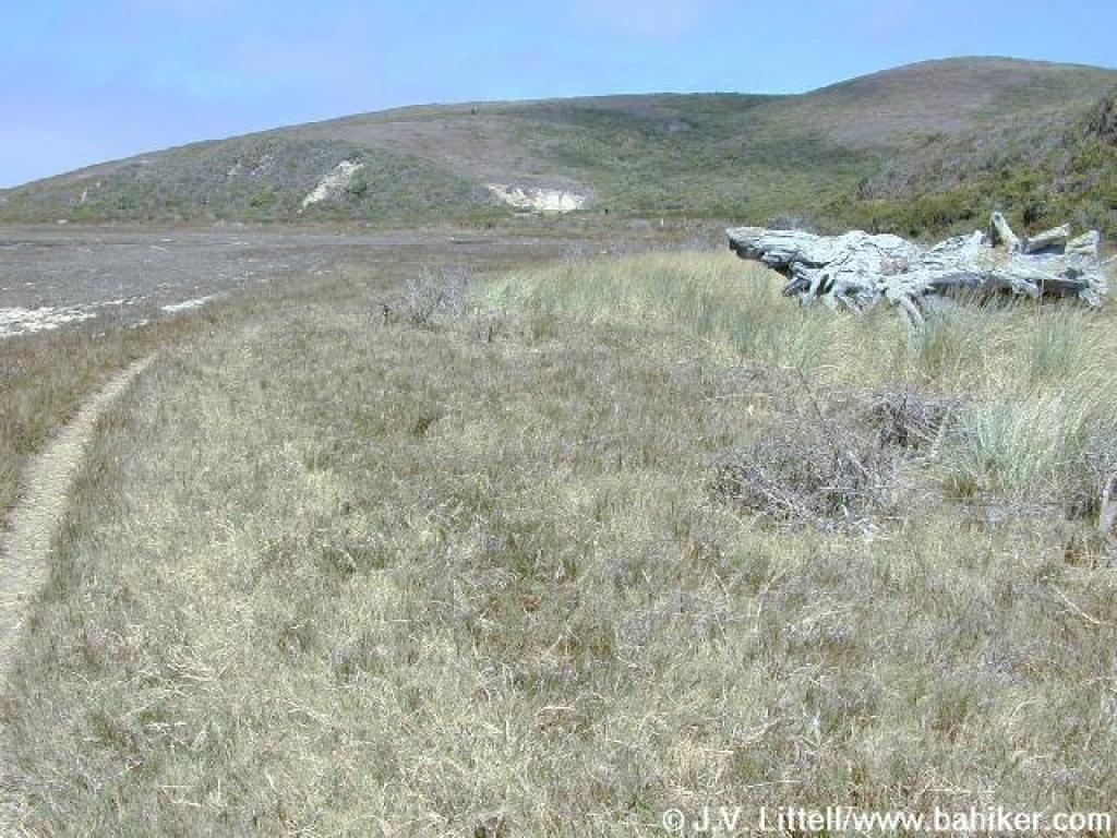
 Back in grassland |
 Rosehips |
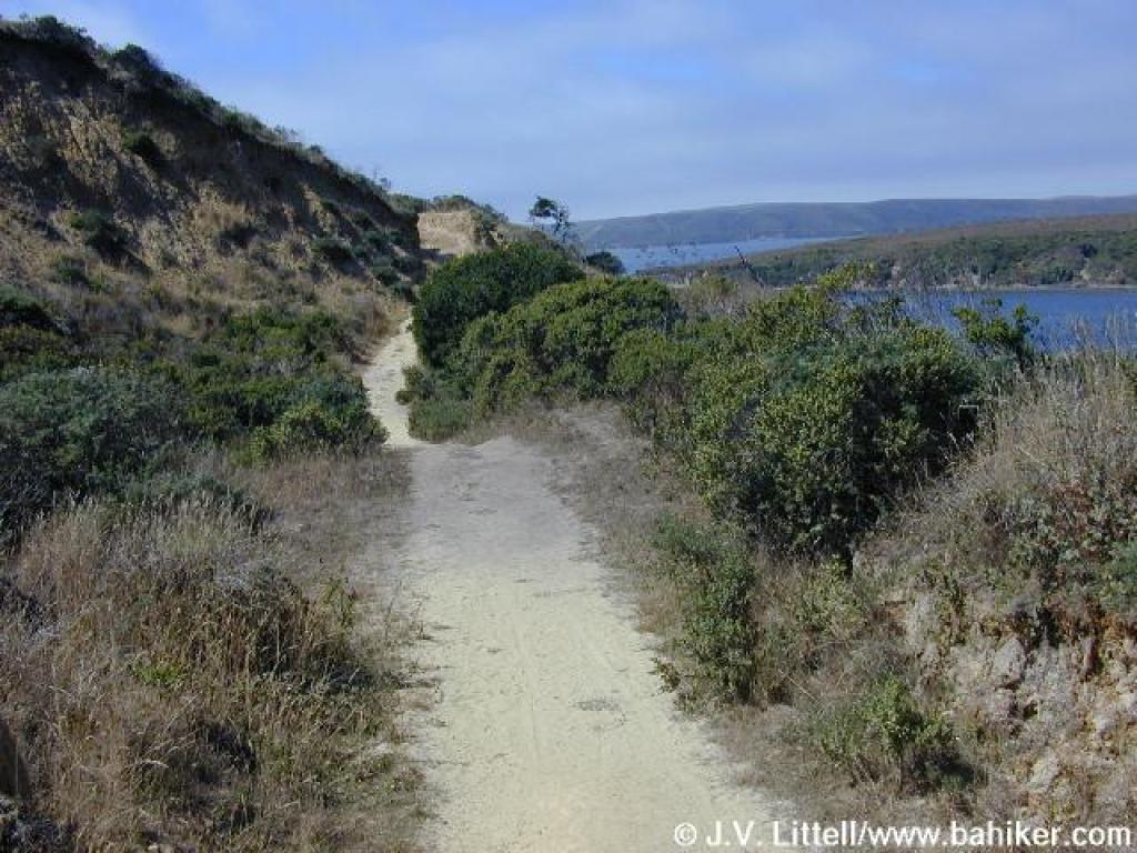
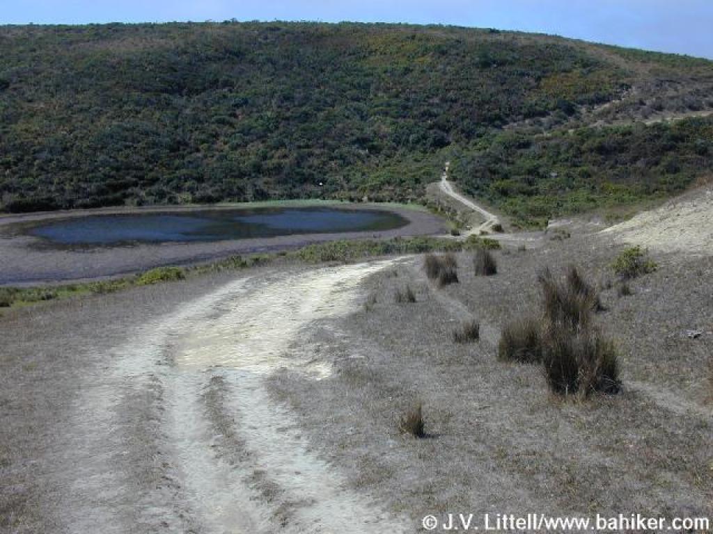
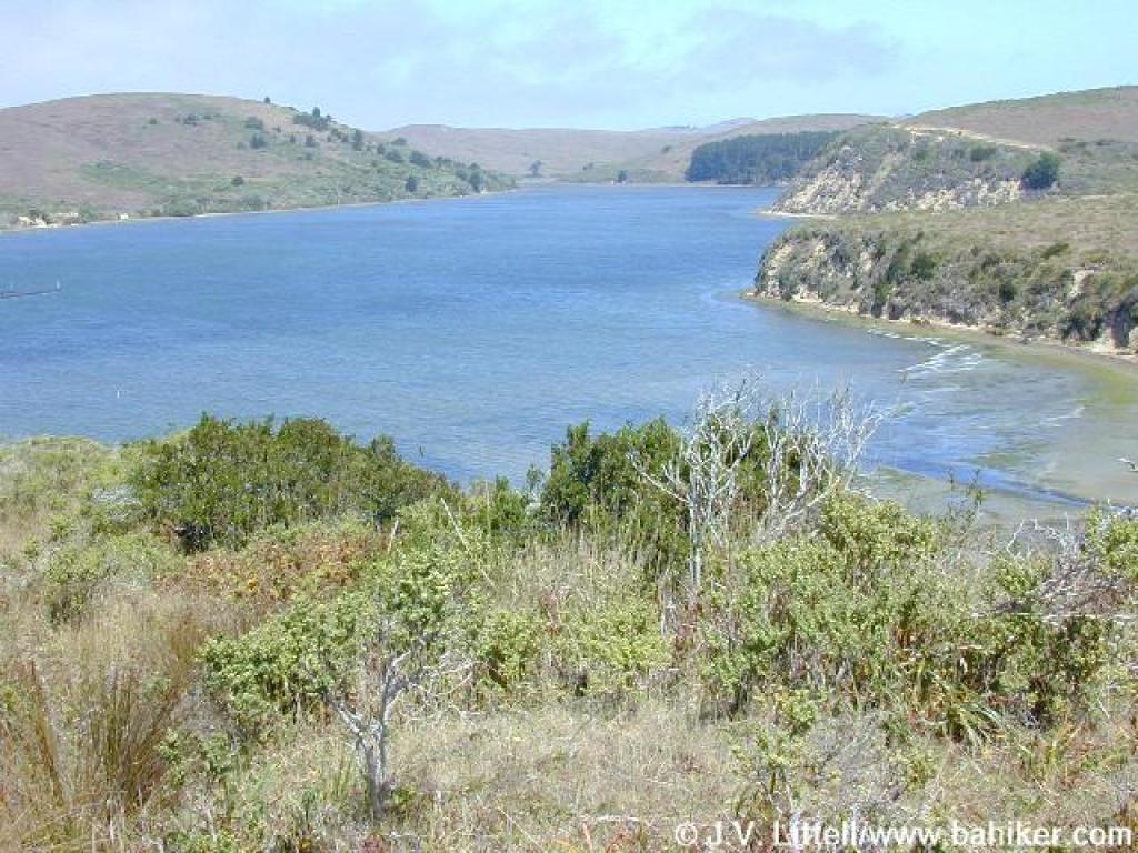
 View to a bridge across the estuary |
 South to Drakes Bay |
||||
 Bridge crossing estuary |
 Climbing |
 View back to the north |
 Near the slide area |
||||
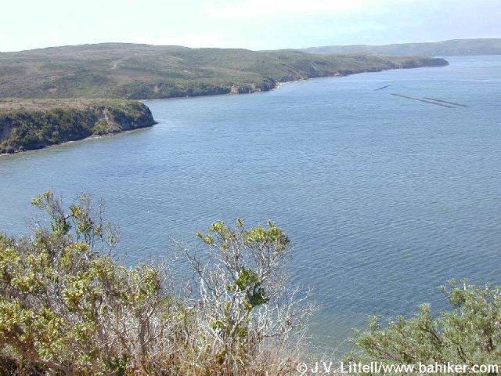 View |
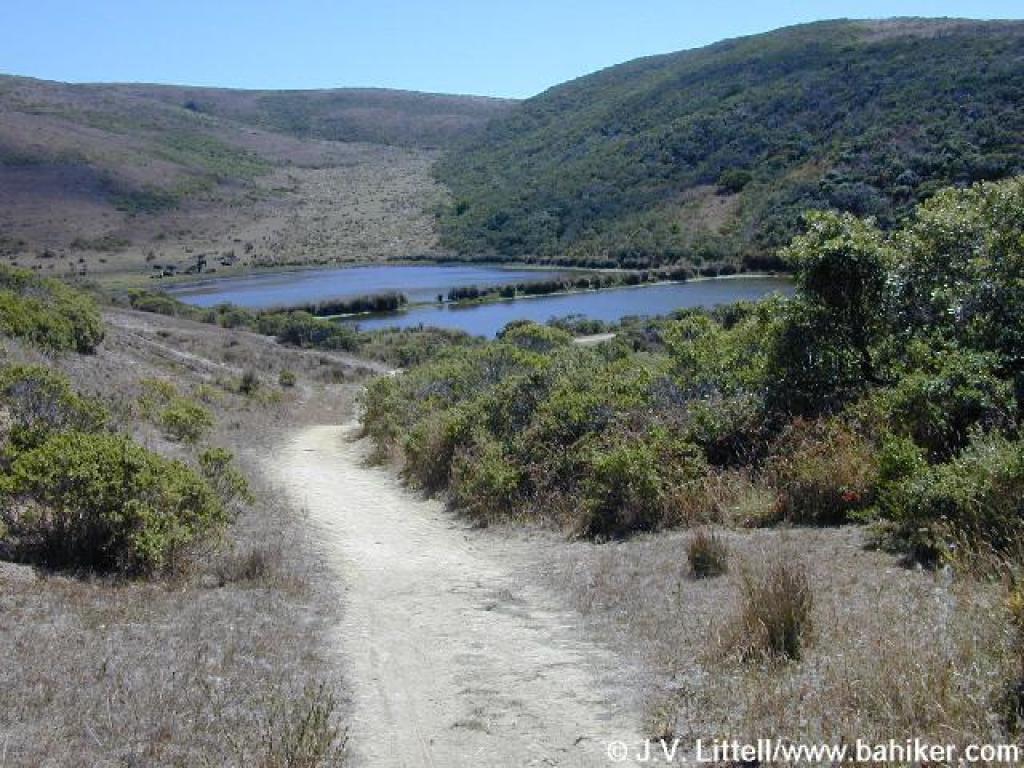 Descent |
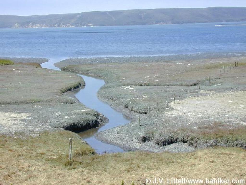 Water flowing to the bay |
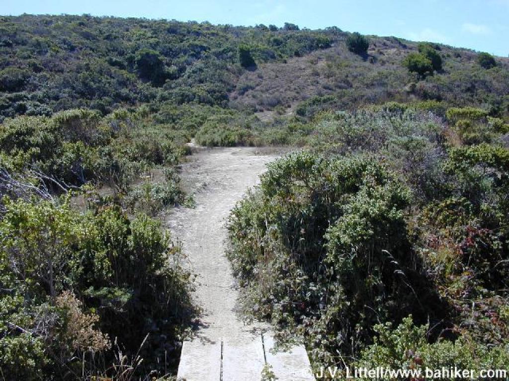 Bridge and ascent |
||||
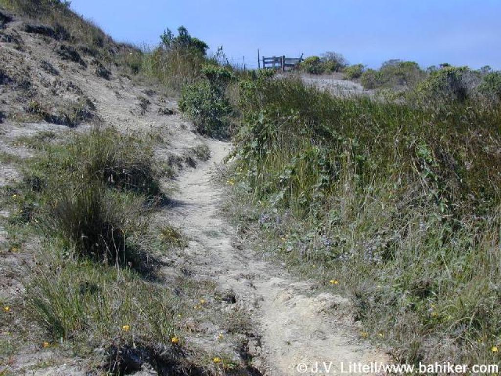
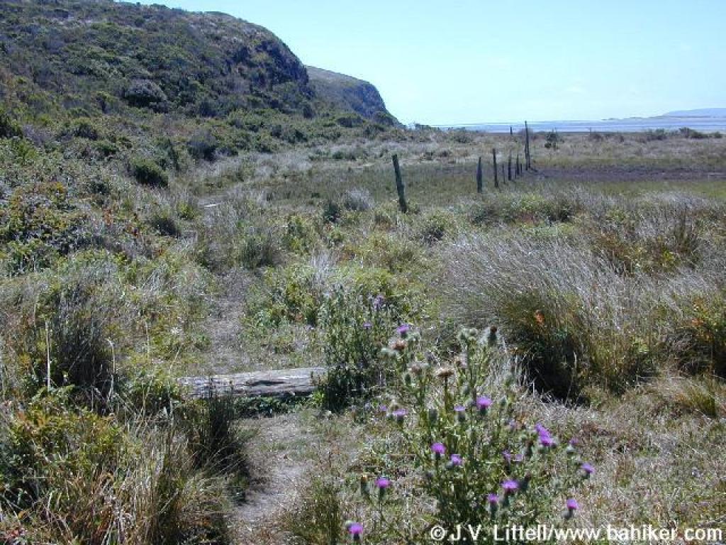
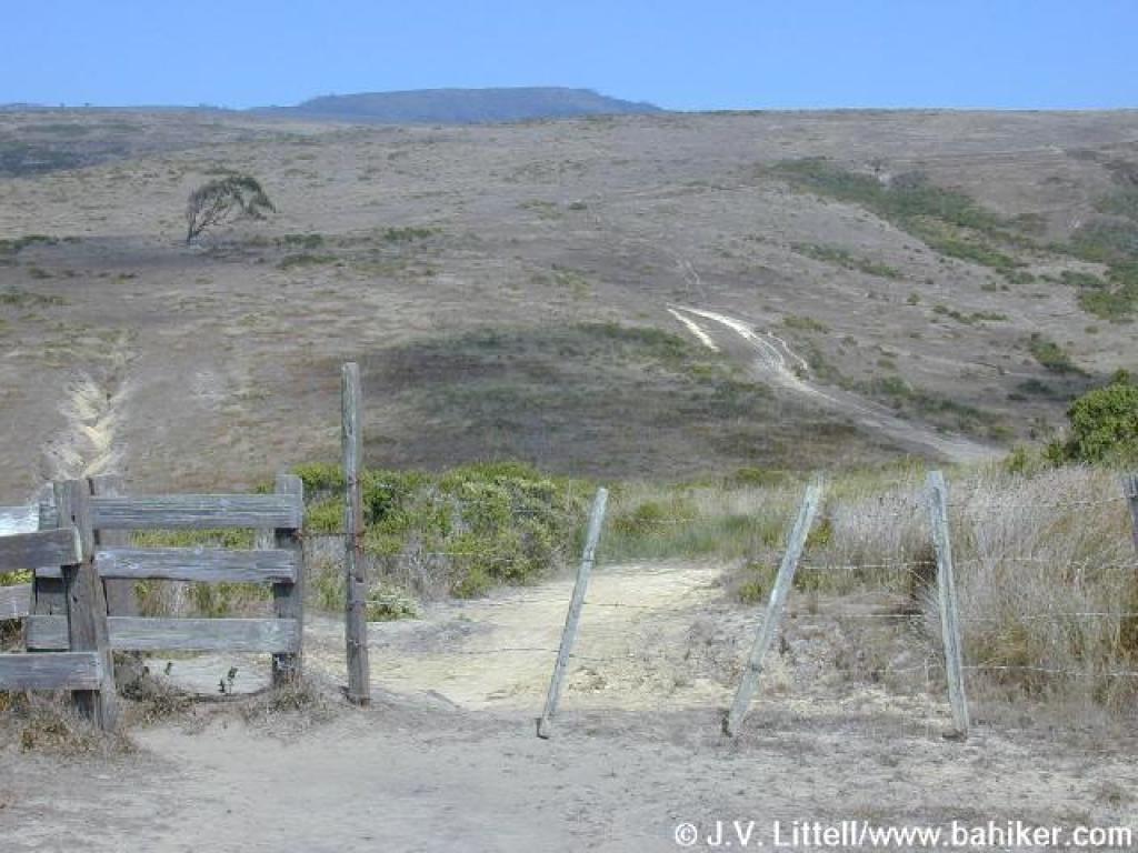
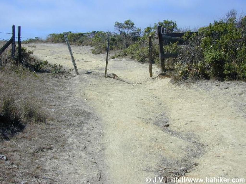 Fence and stile |
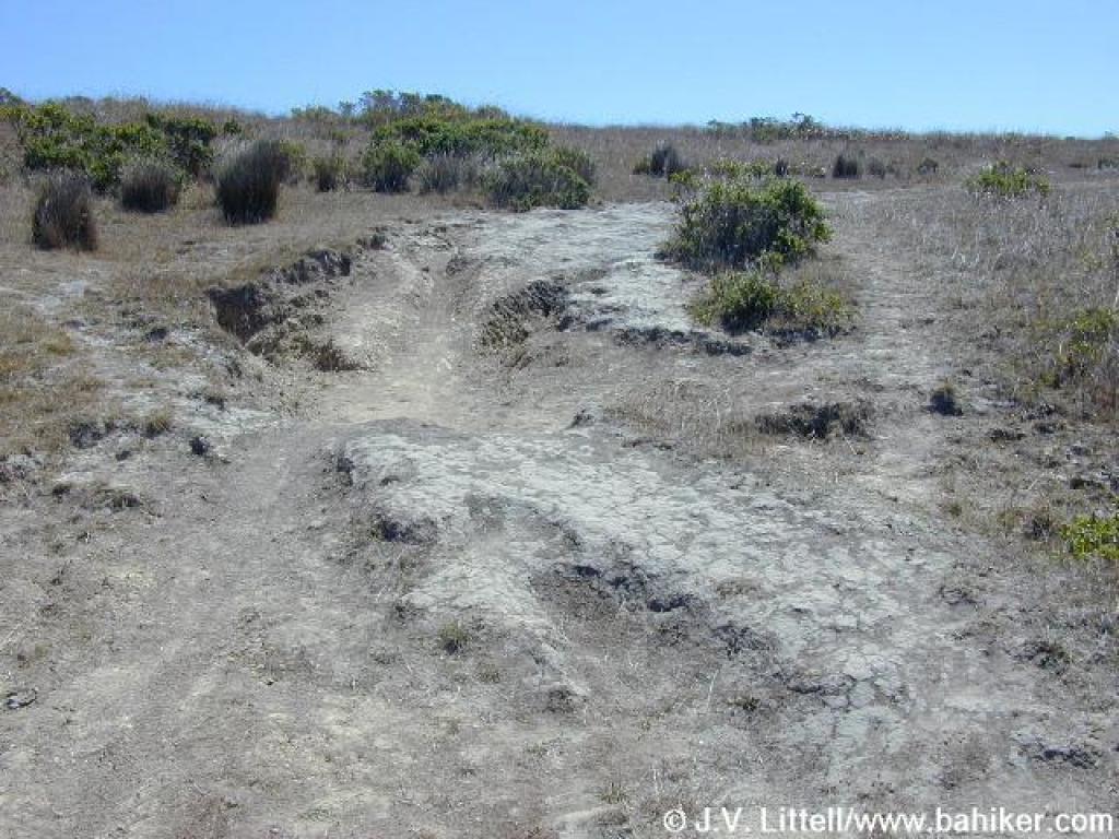 Rutted trail |
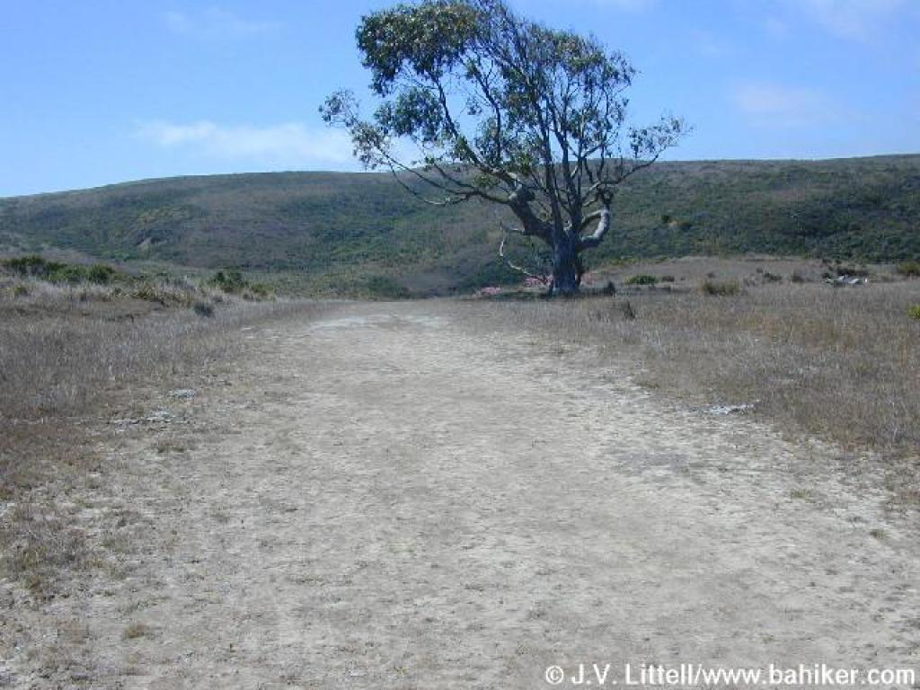 Trailside eucalyptus |
 Descent |
||||
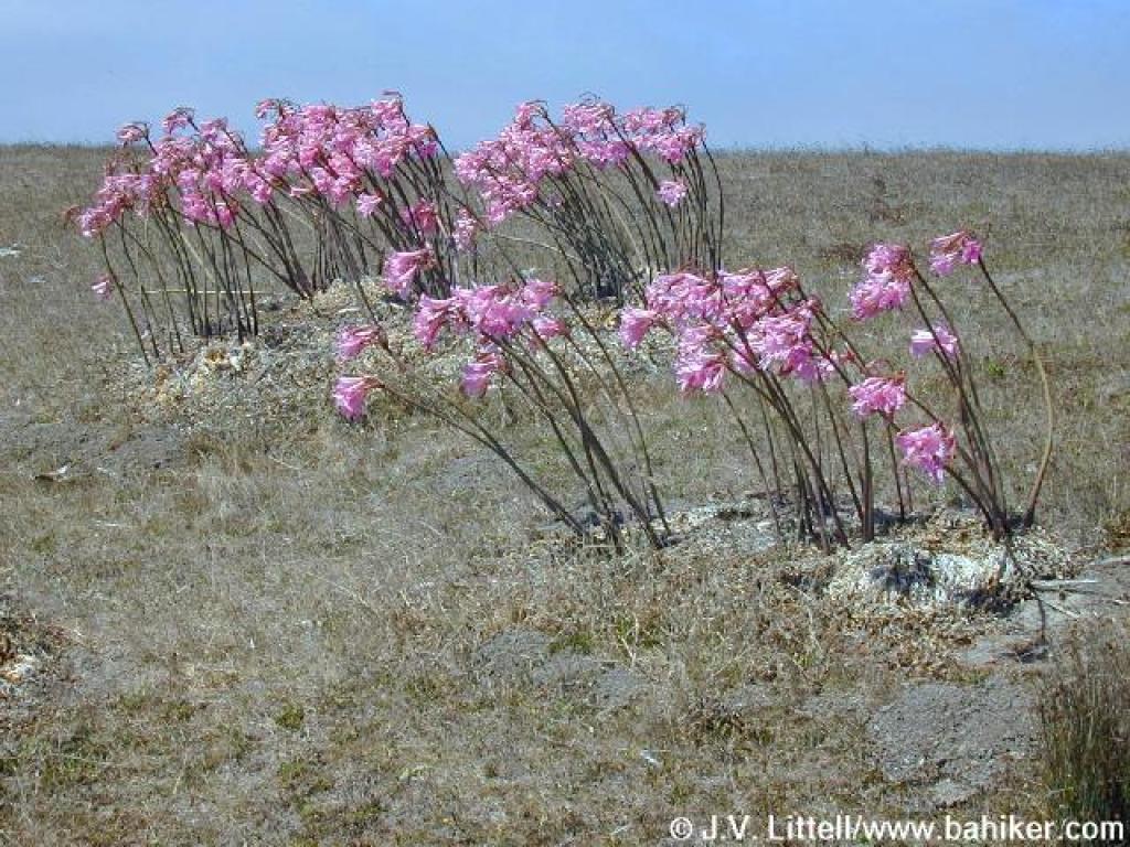 Pink flowers |
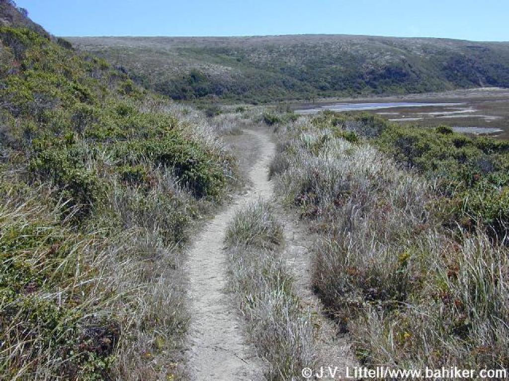
 Estero Trail |
 This stretch is muddy in winter |
 View back |
||||
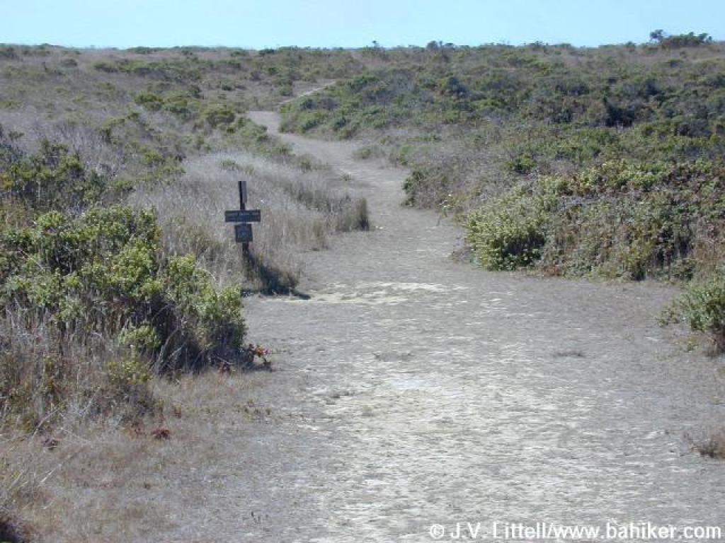 Junction |
 Sunset Beach Trail |
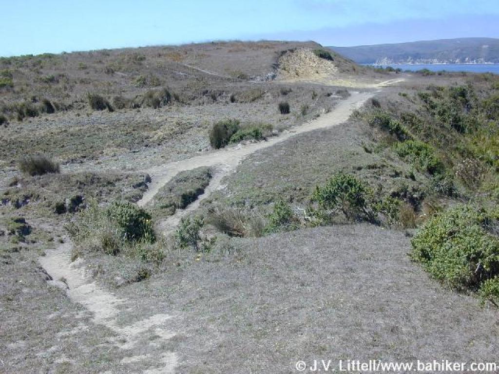 Descent |
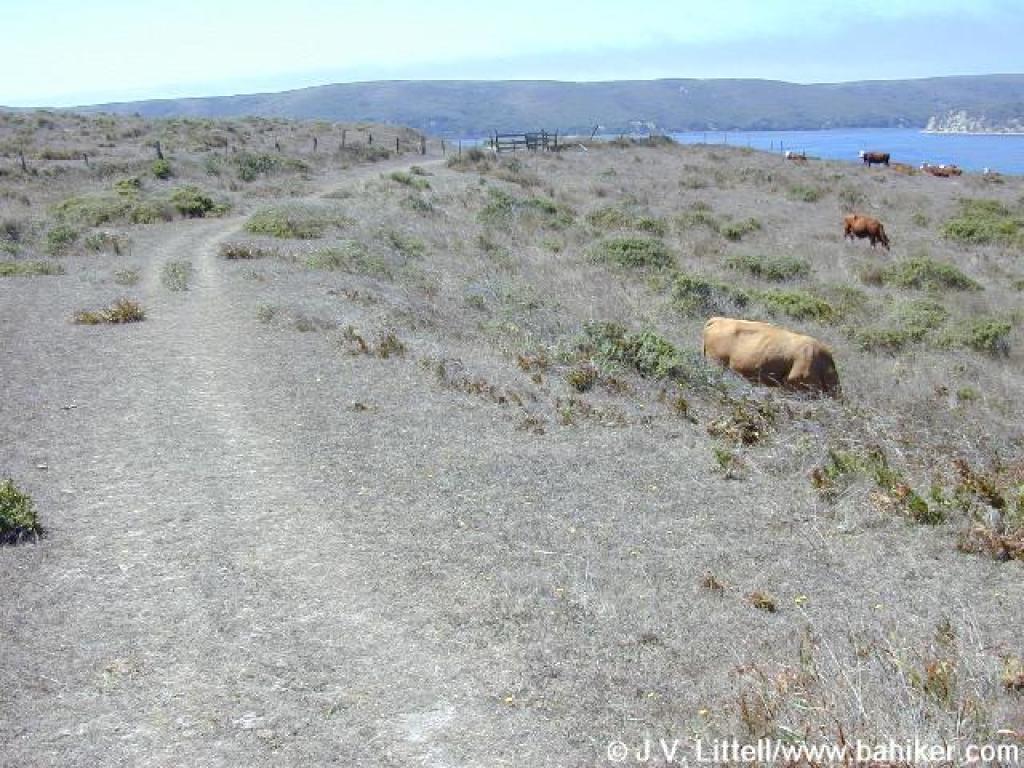 Cattle along the trail |
||||
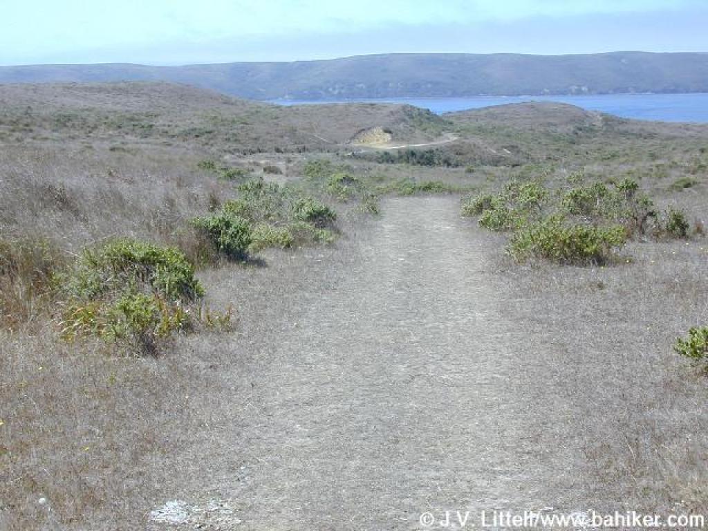
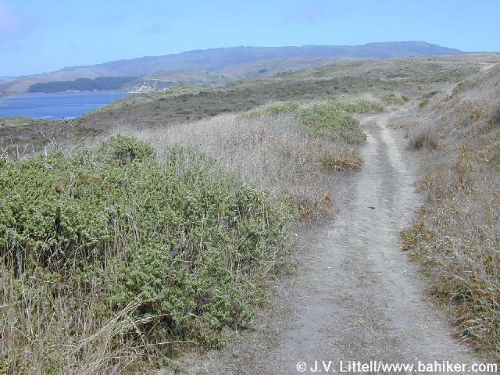
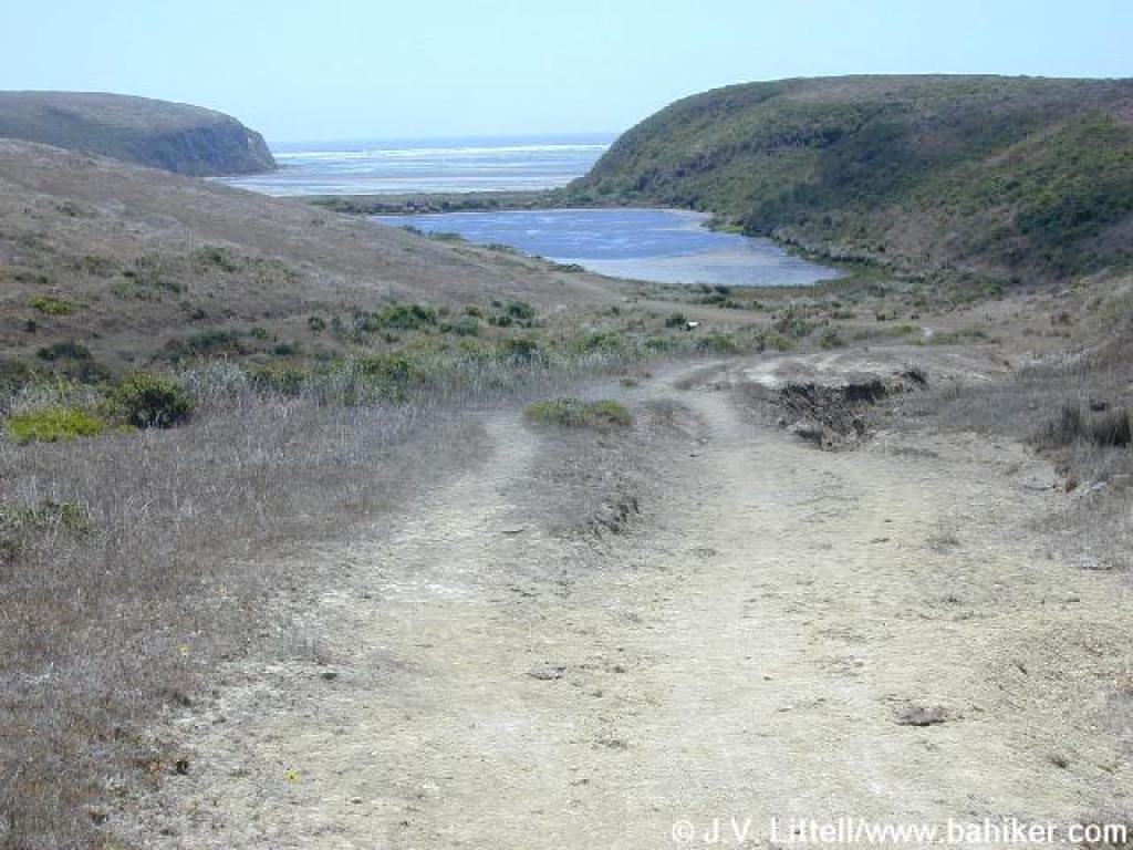 Ocean is visible |
 Trail narrows |
 A path continues to the south |
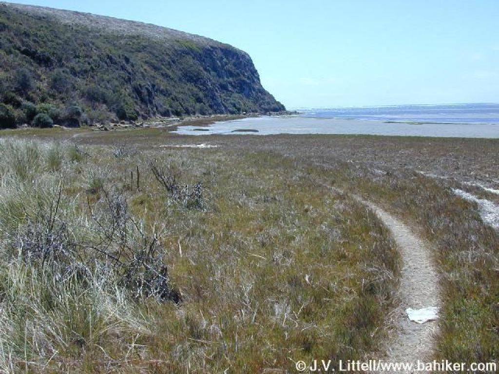 Path |
||||
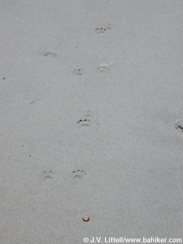 Tiny paw prints |
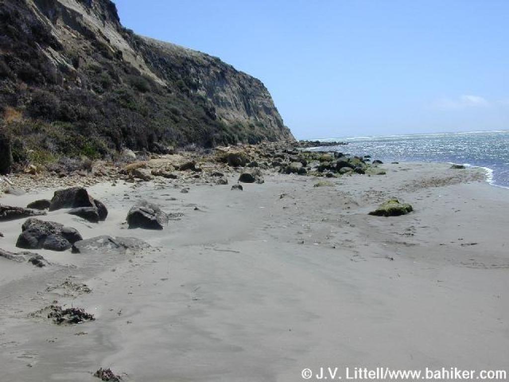 Little beach |
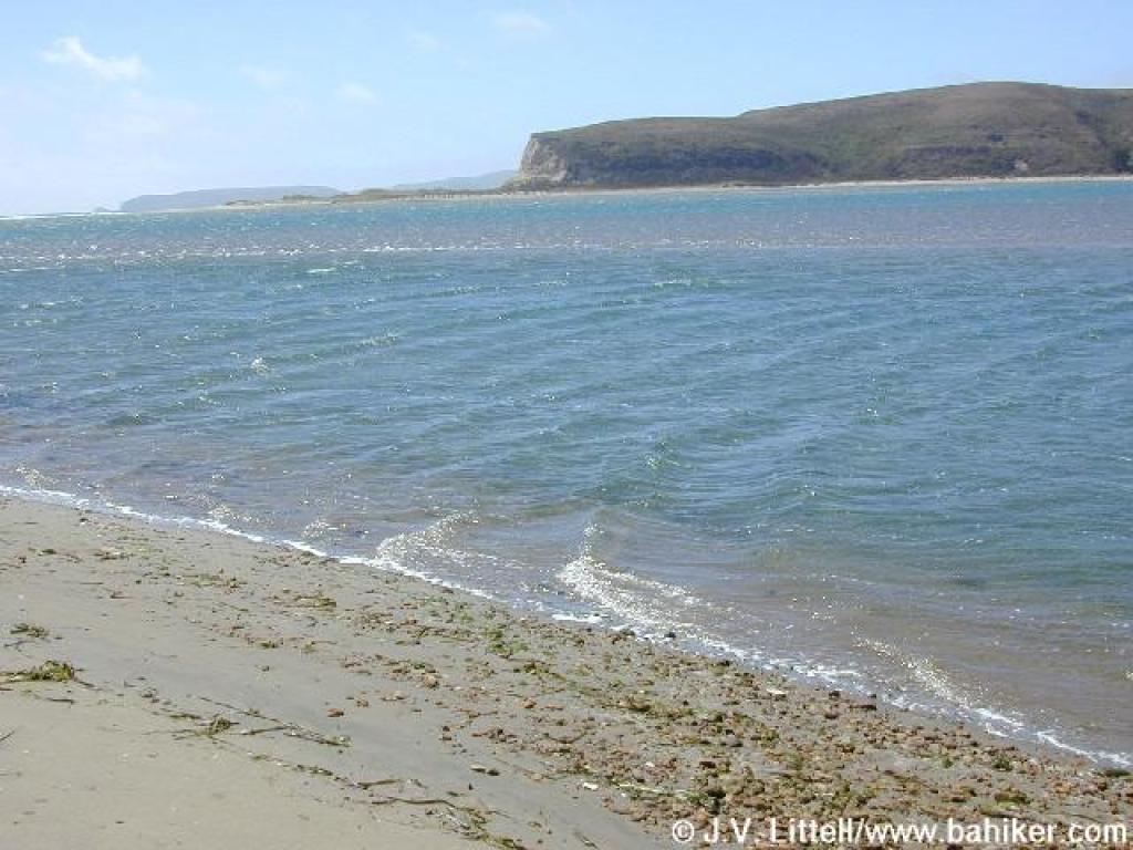 View northwest, with Chimney Rock barely visible |
 View back |
||||
 Return |
 Cinquefoil |
 Return on Sunset Beach Trail |
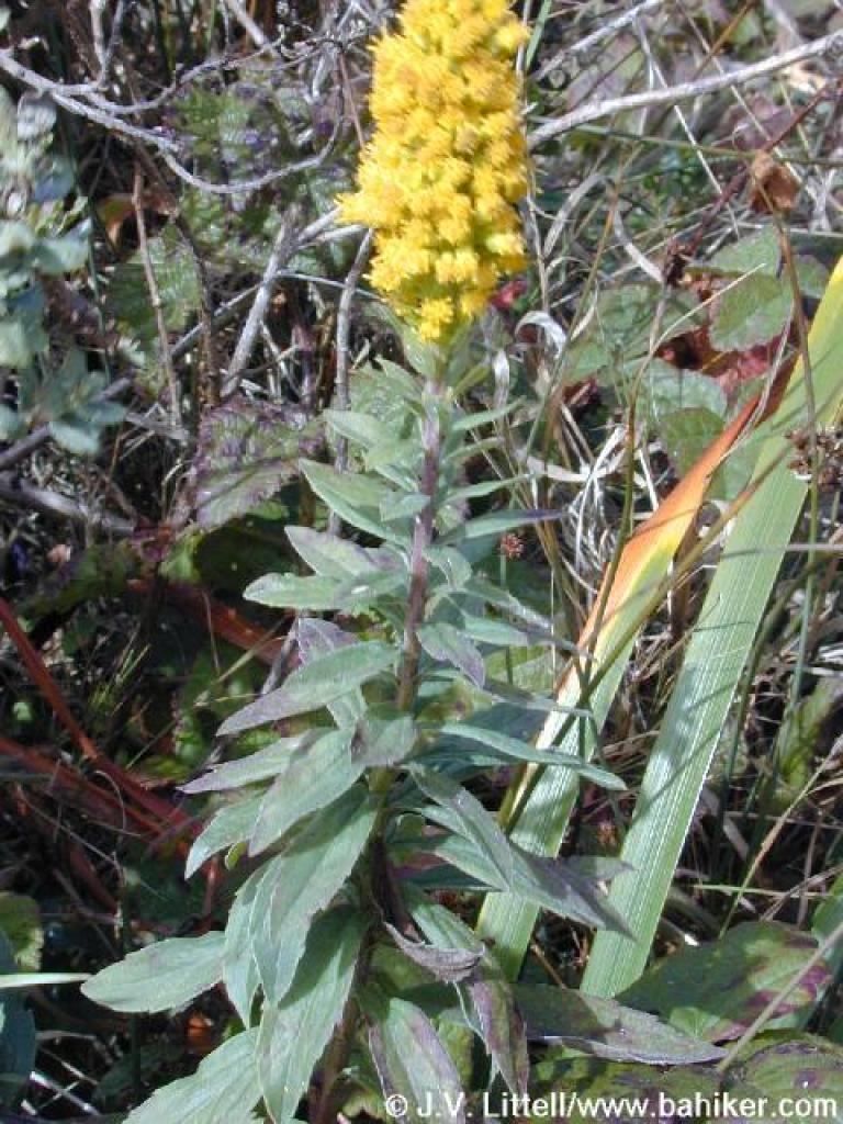 Goldenrod |
||||
 Return |
 Back through the trees |
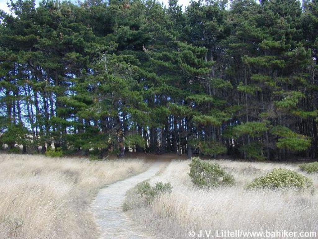 Into the woods |
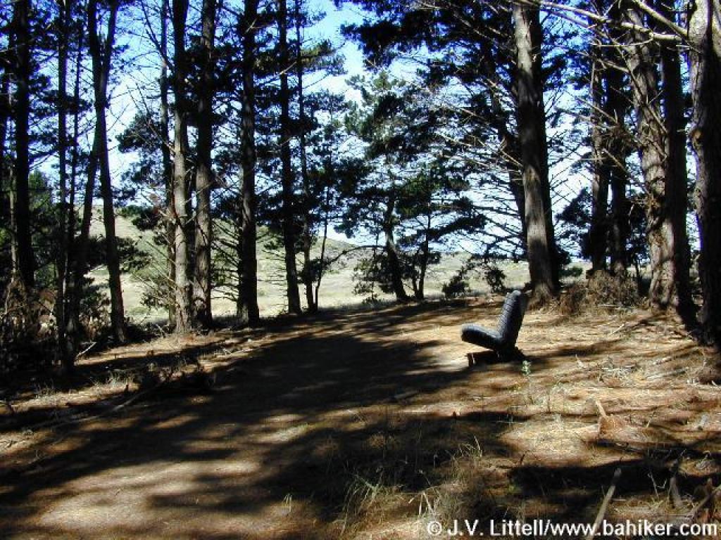
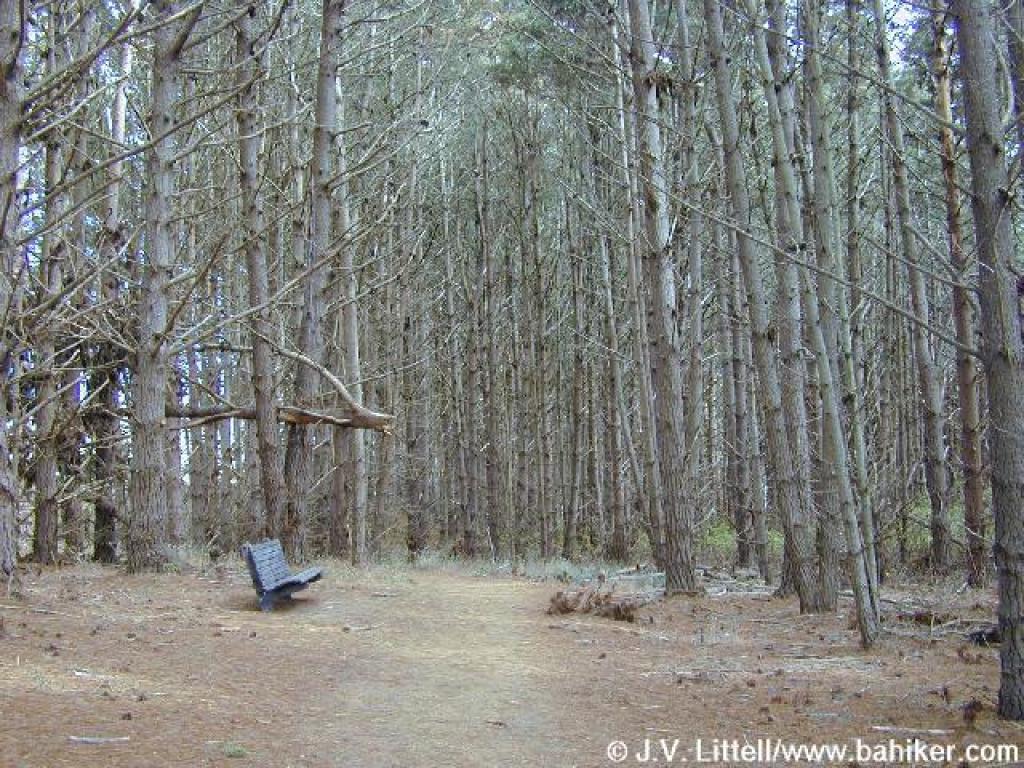 Bench under pines |
||||
 Ascending on Estero Trail |
 Return, the trailhead visible |
Go to Bay Area Hiker Estero page Go to Bay Area Hiker Home page |
|||||