| Photos
from a September 2000 hike at Grant County Park (click on any image for a larger view) |
|||||||
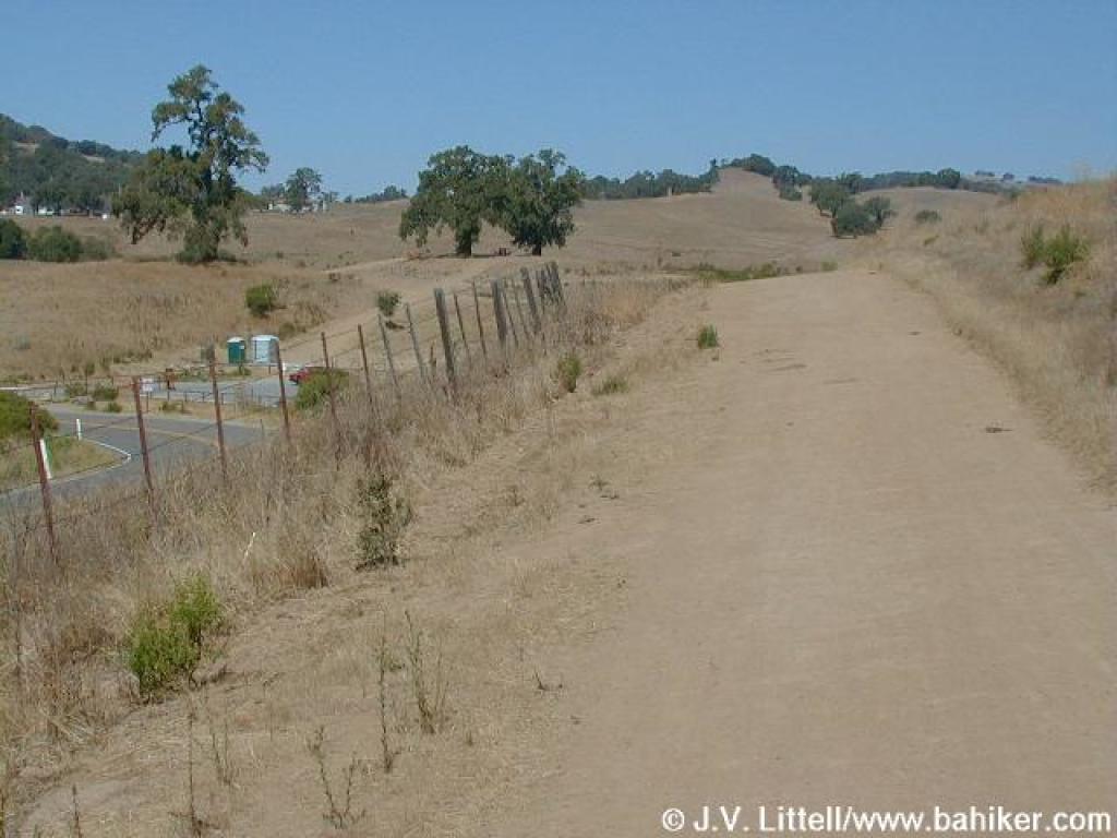
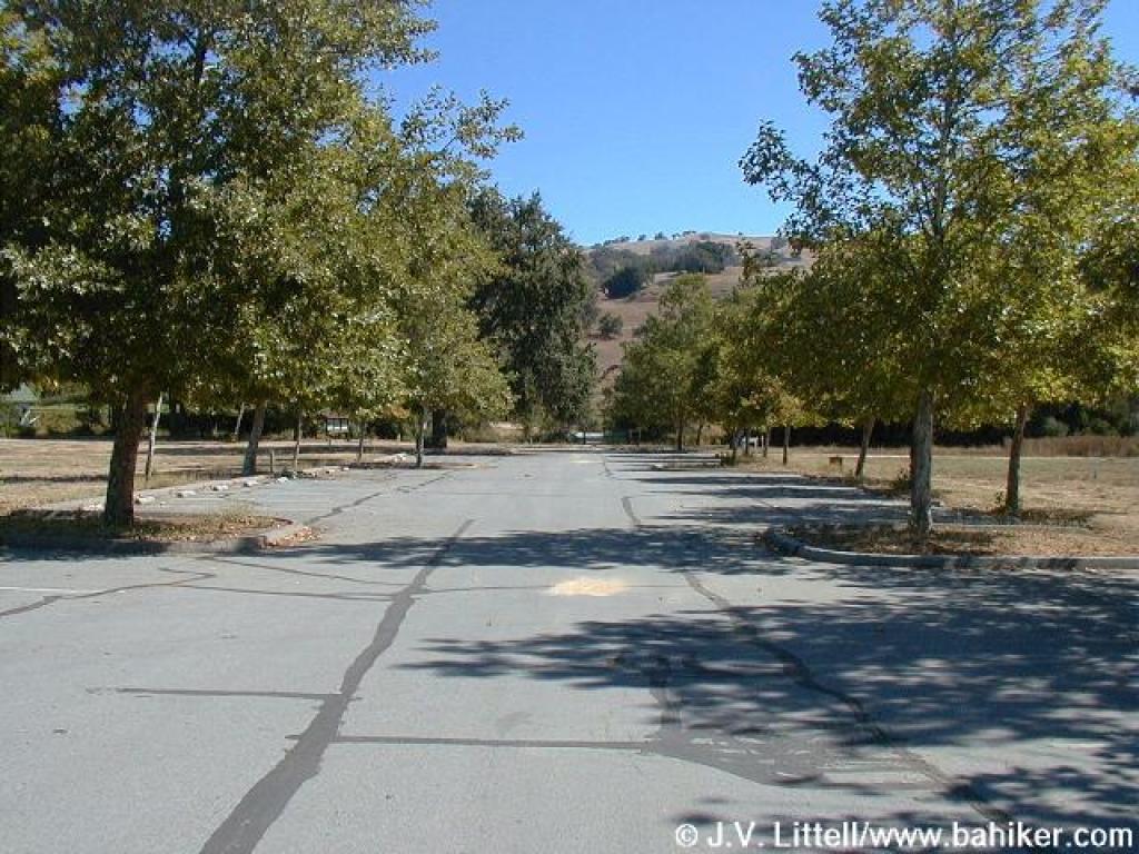 Trailhead |
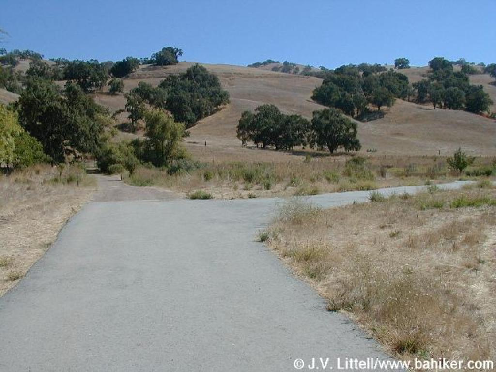
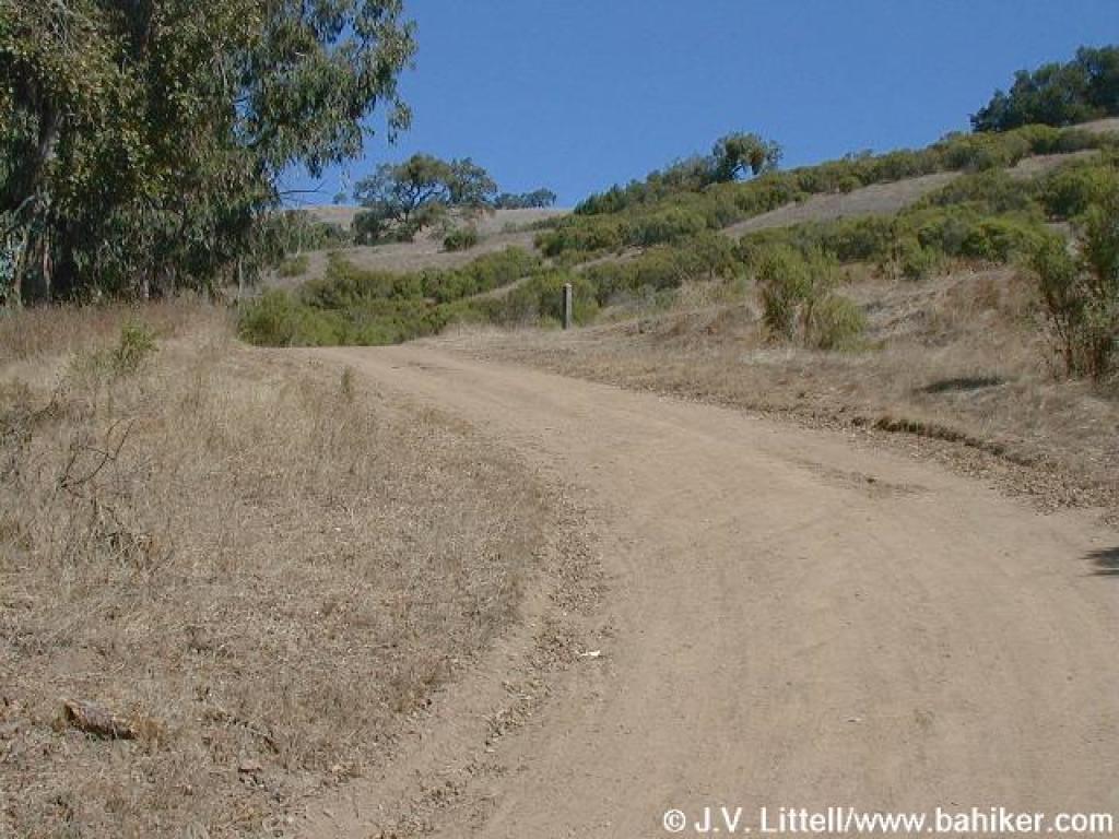
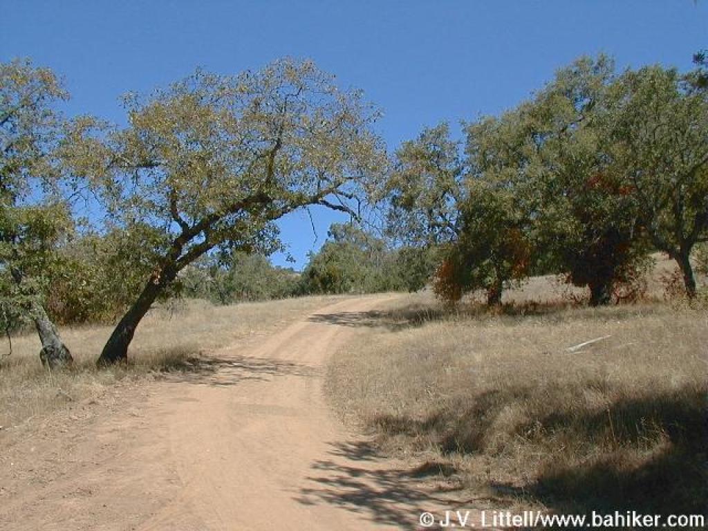
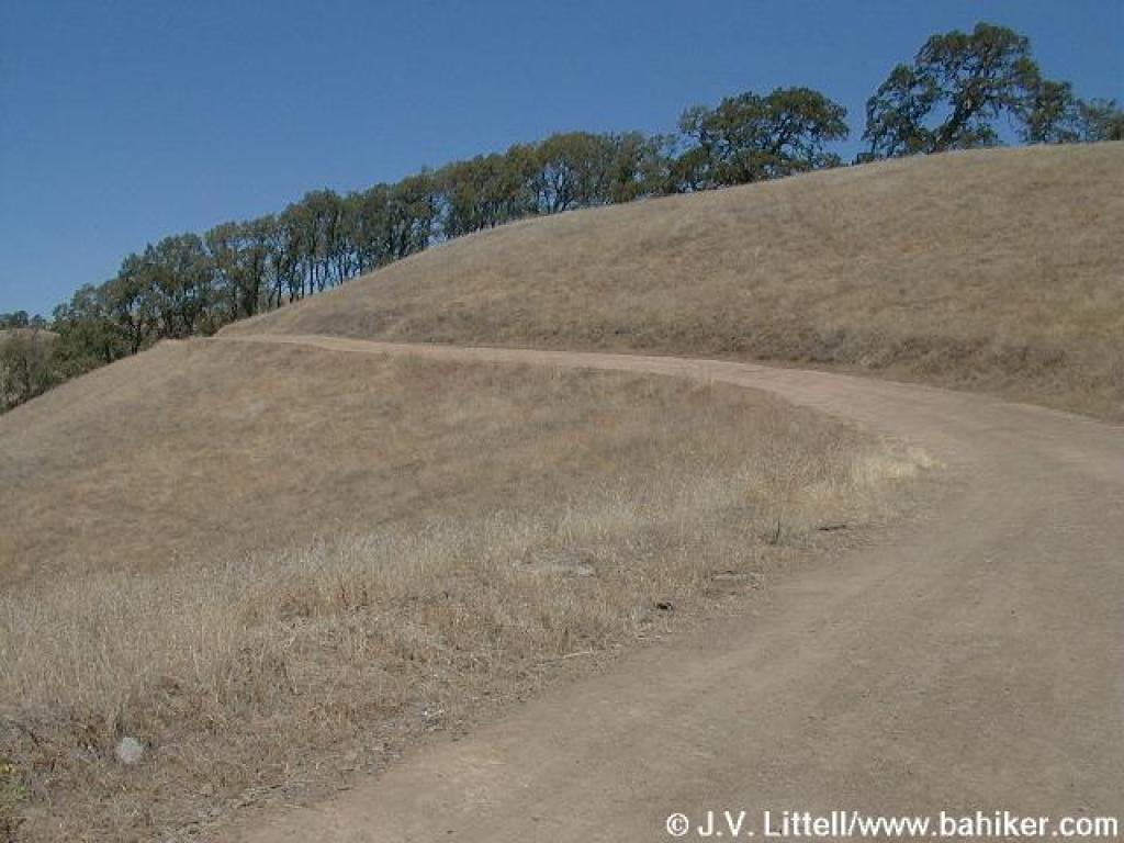
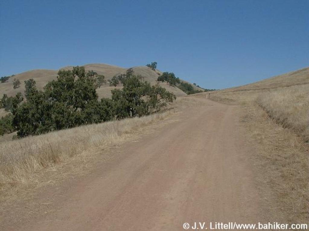
 Approaching start of the Hotel Trail |
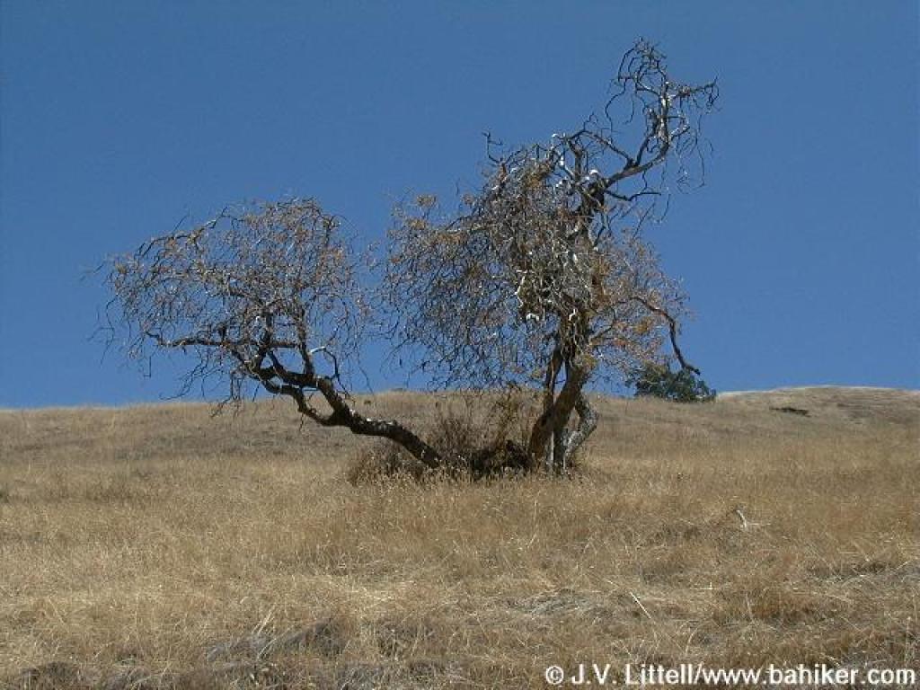
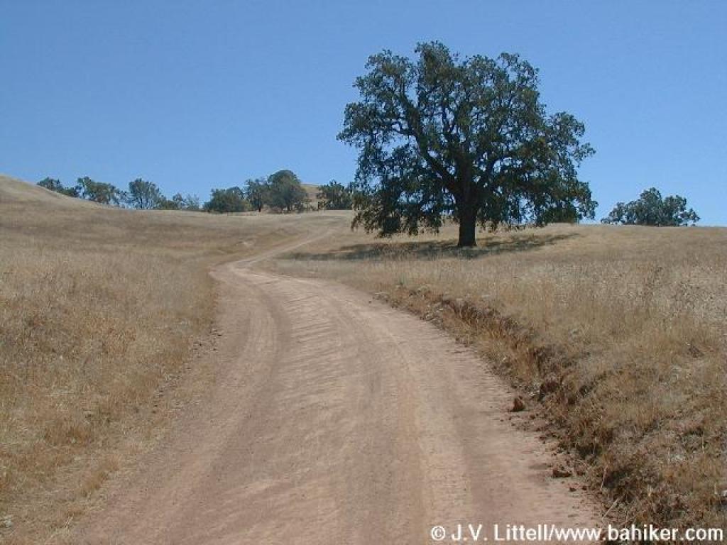
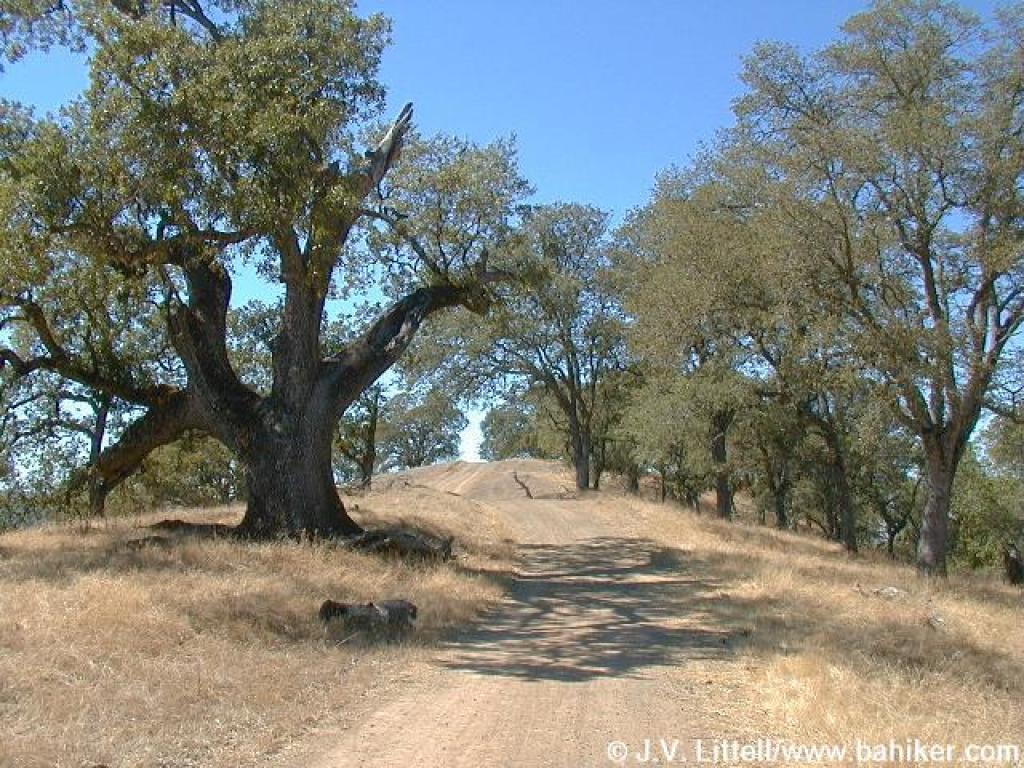
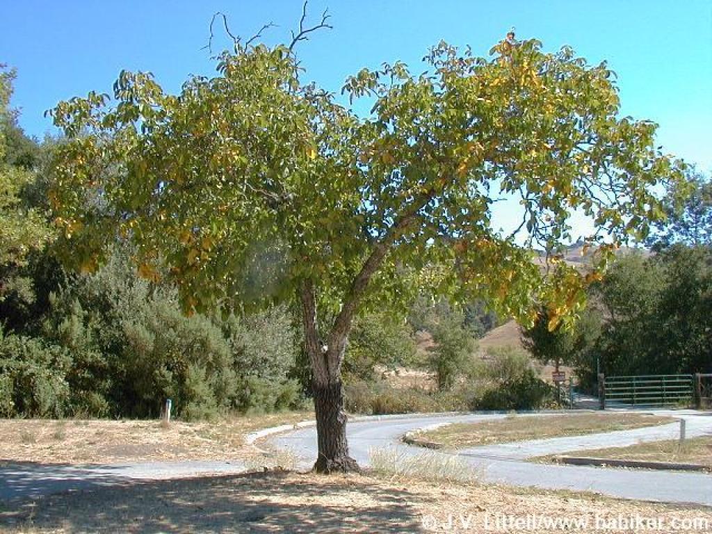 Walnut tree |
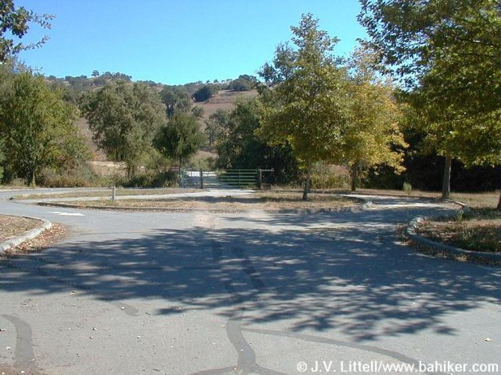
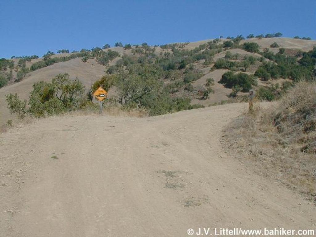
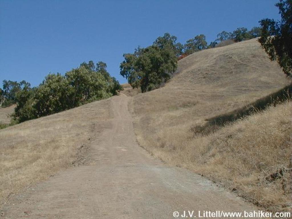
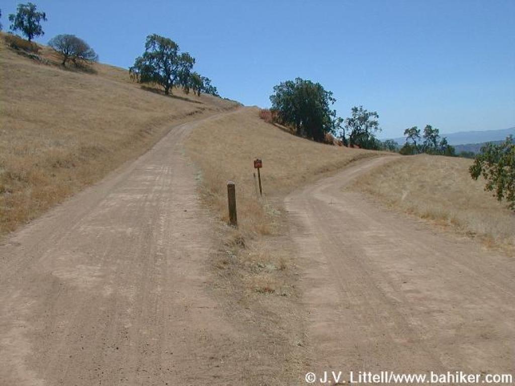
 Trail split |
||||
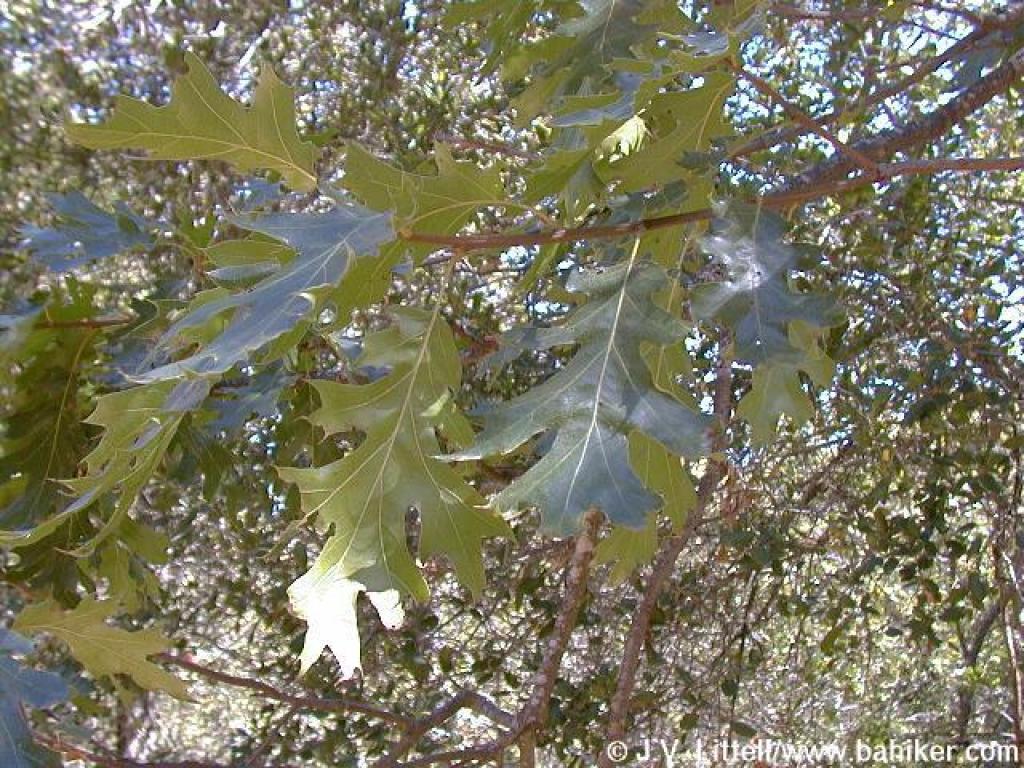
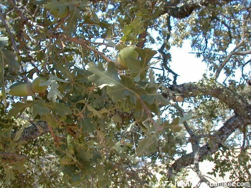
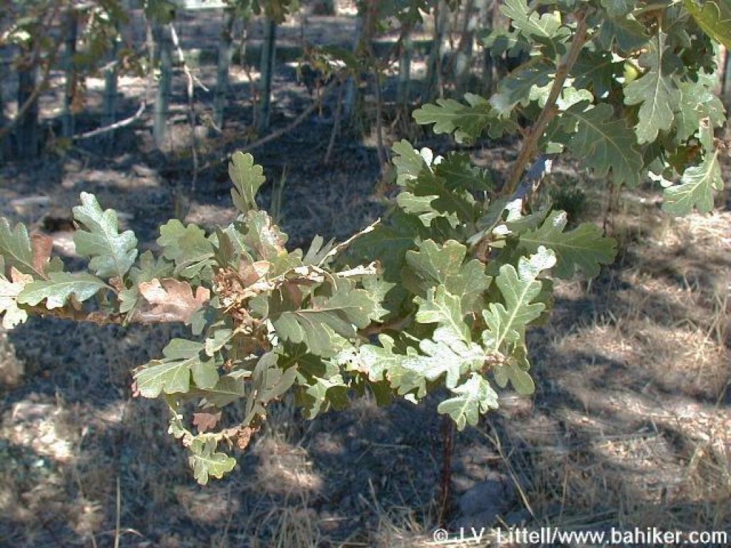 Oak |
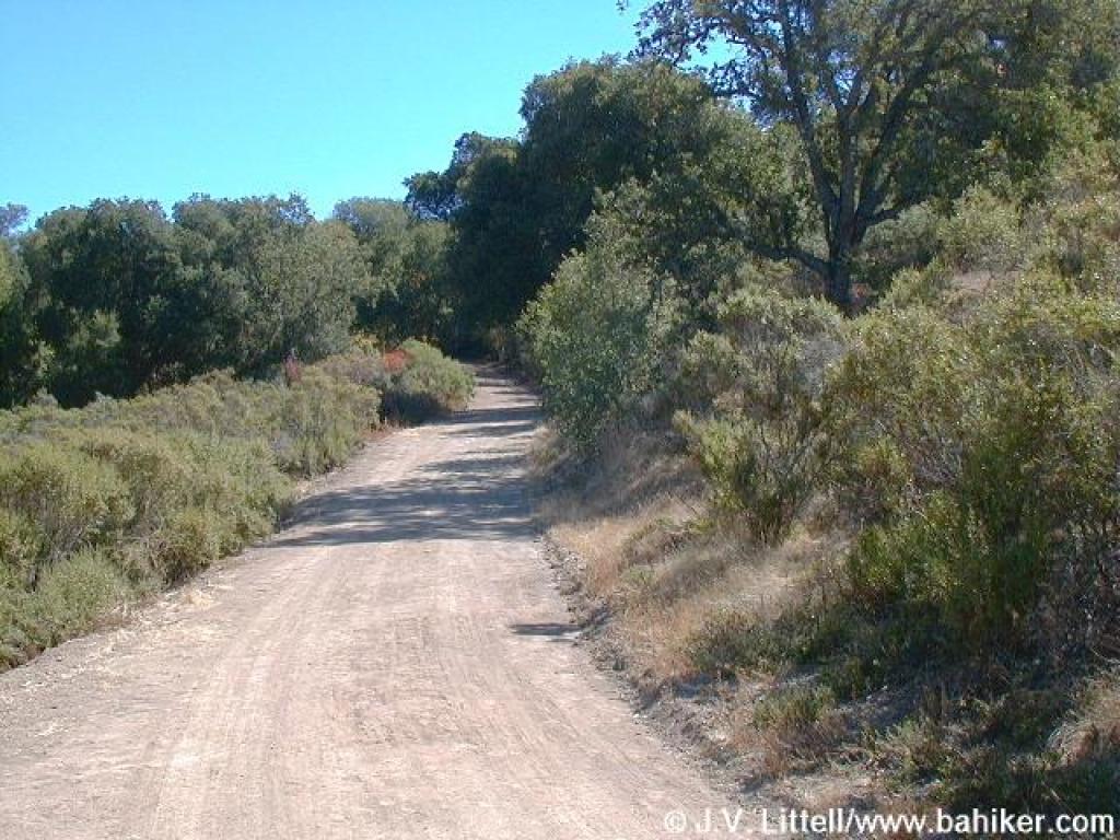
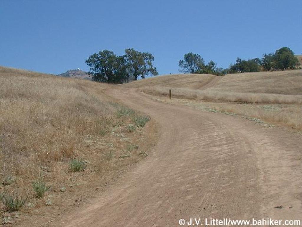
 Junction |
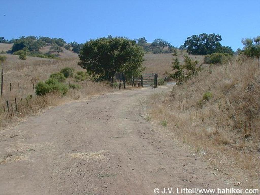
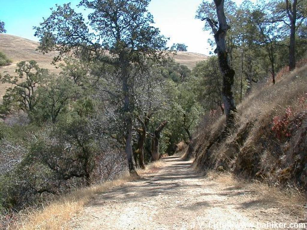
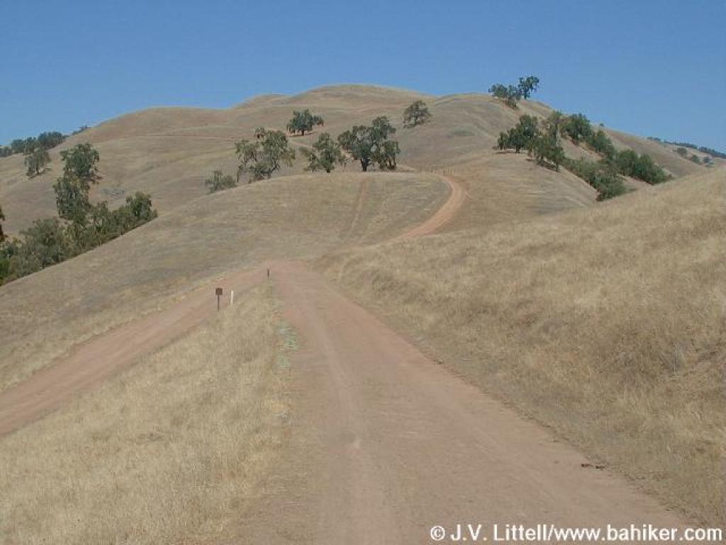
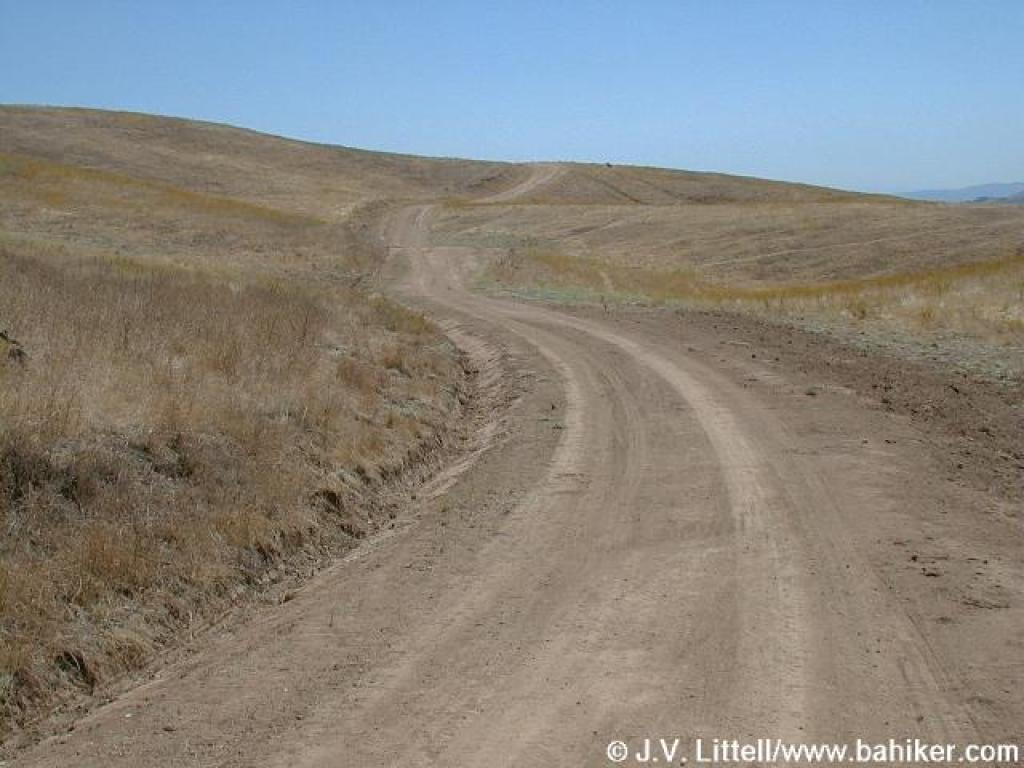
 Hotel Trail |
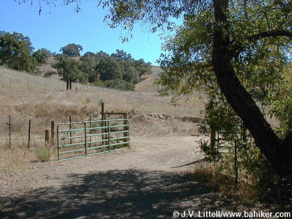
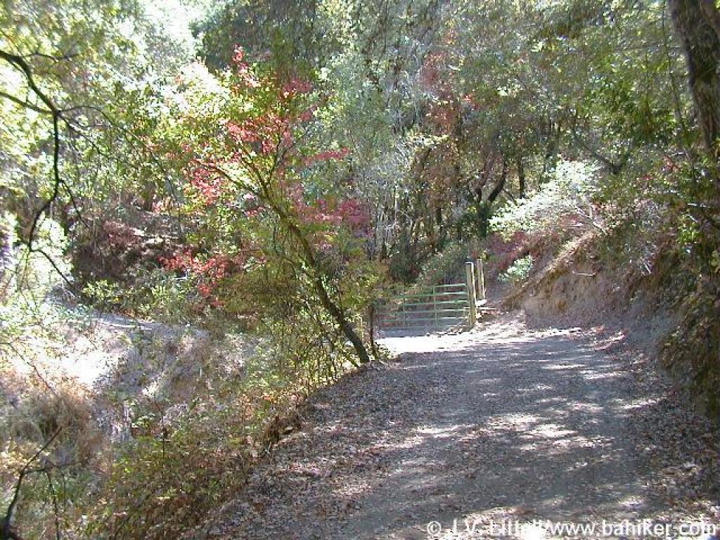
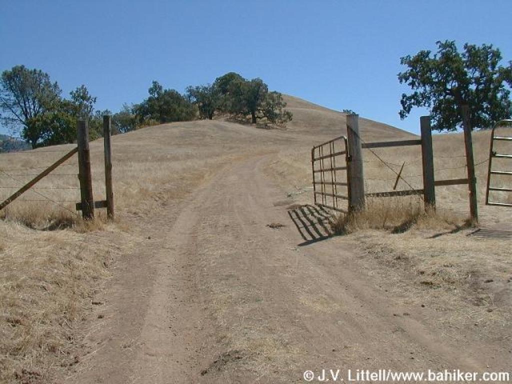
 Gate |
||||
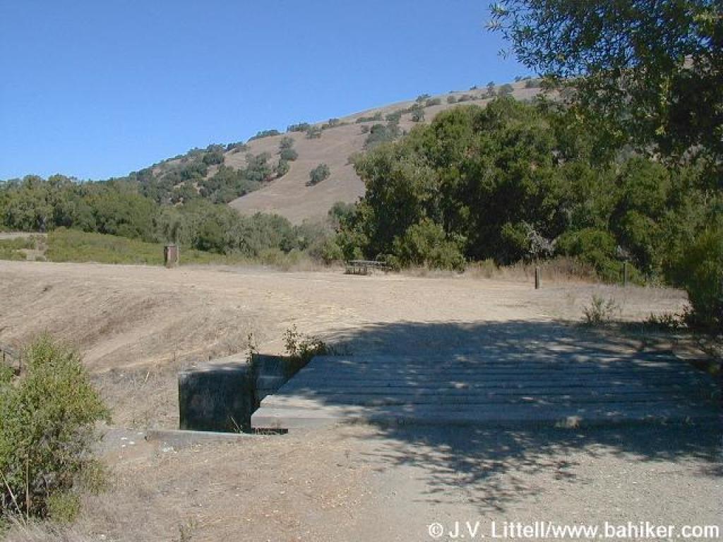
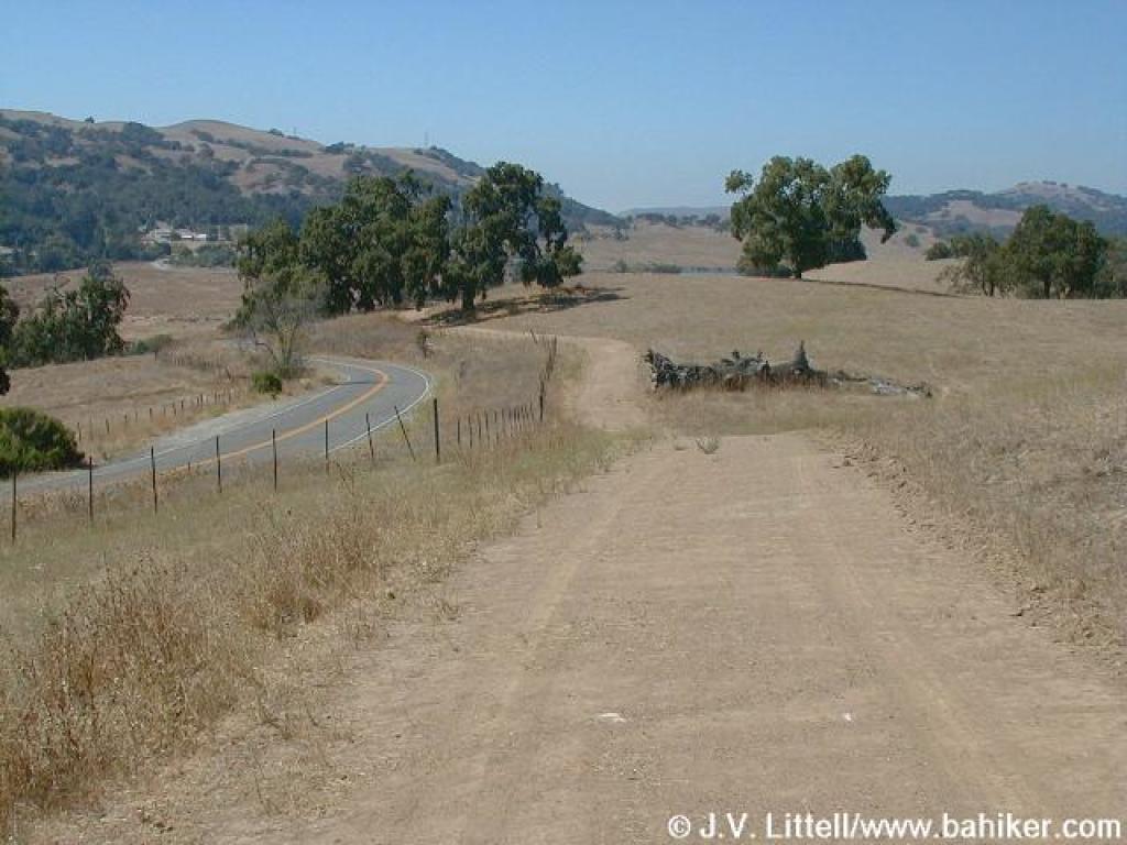
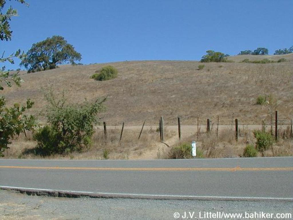 Crossing Mount Hamilton Road |
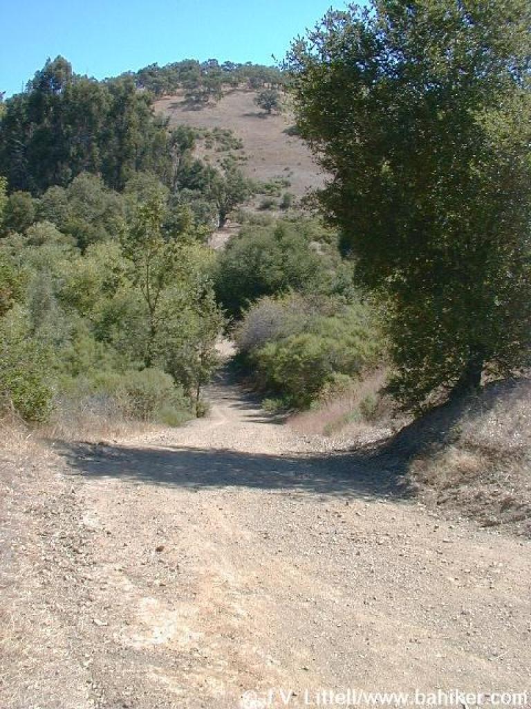
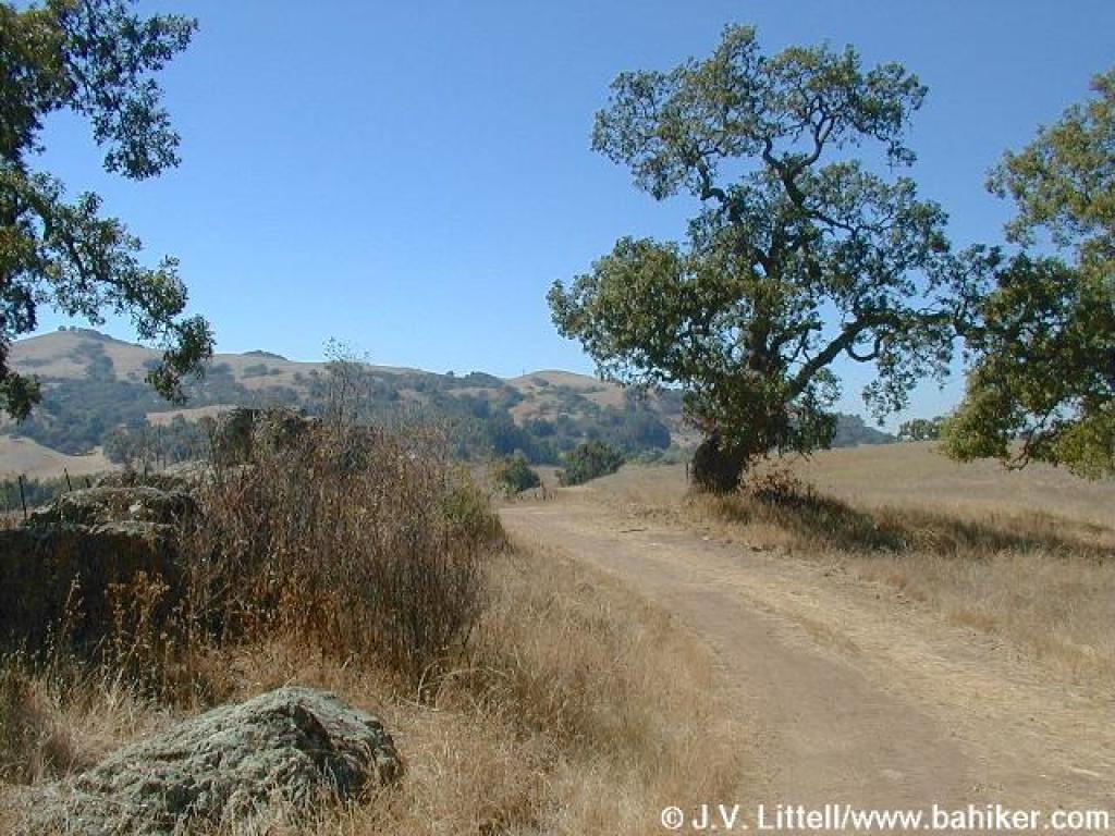
 Yerba Buena Trial |
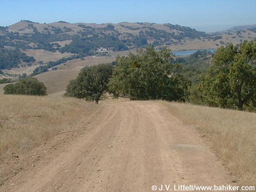
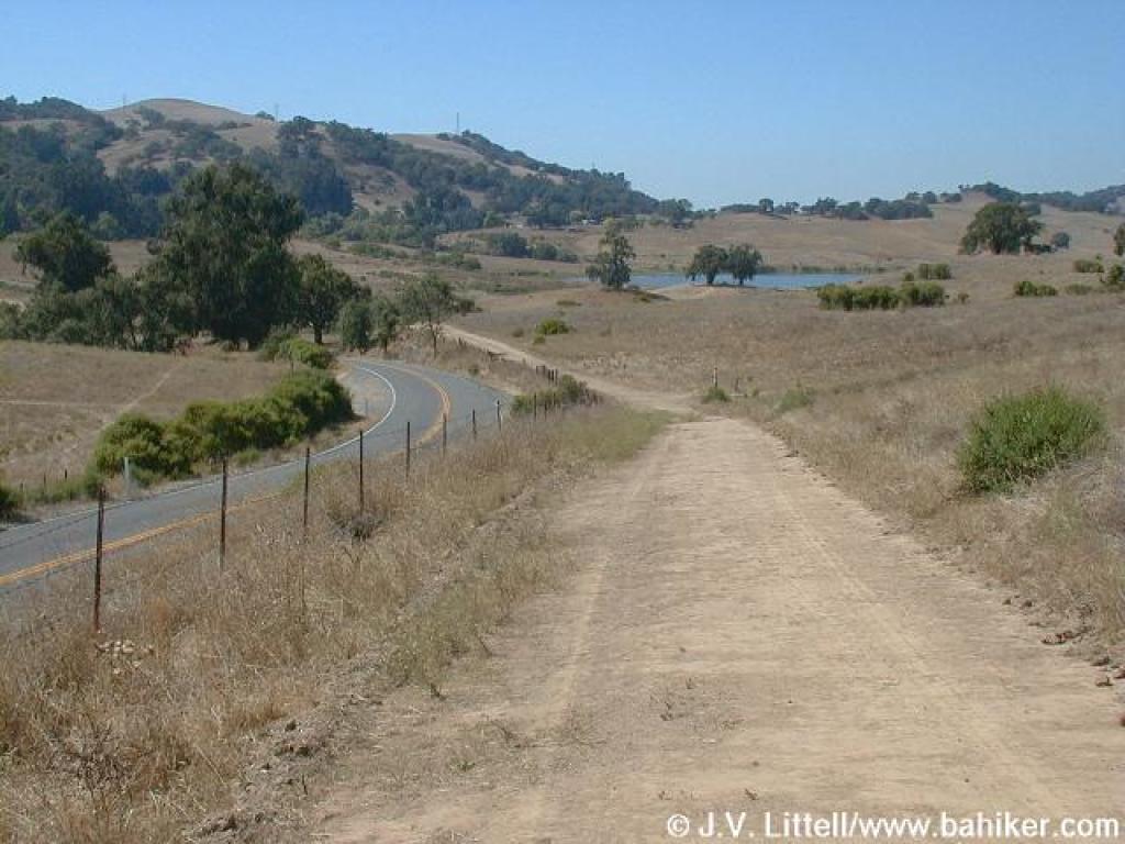
 Junction with Lakeview Trail |
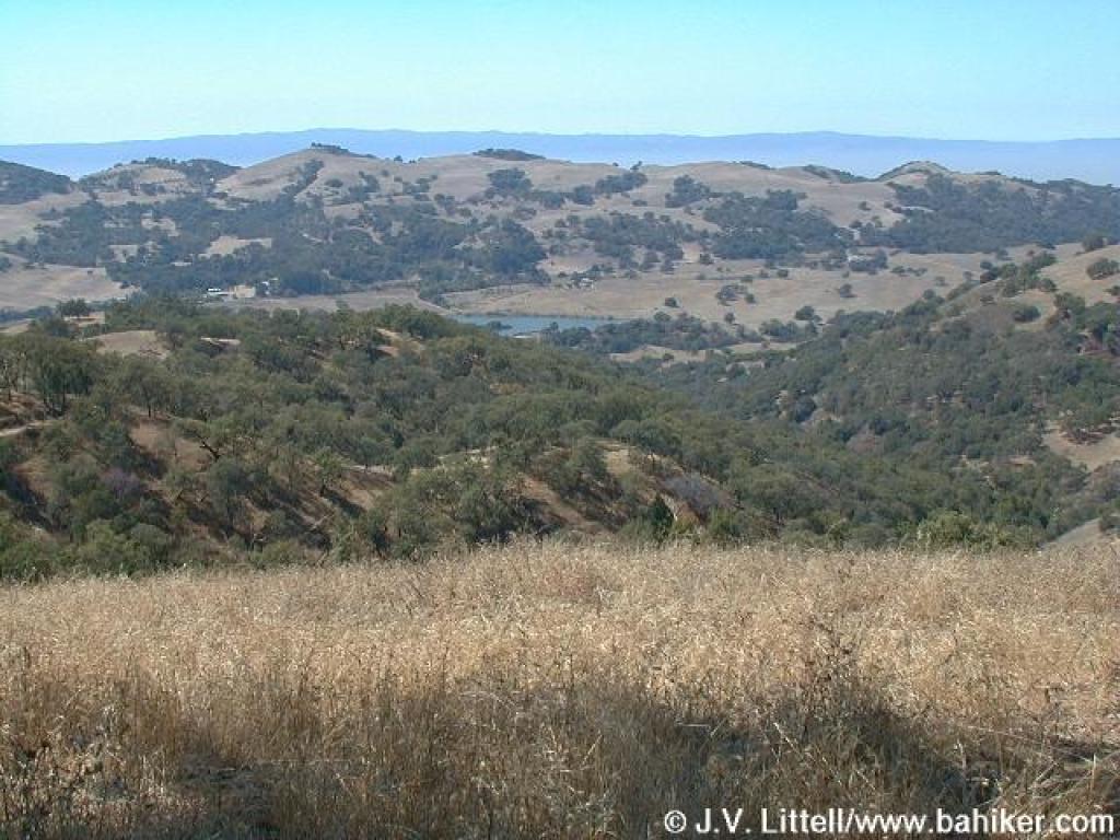
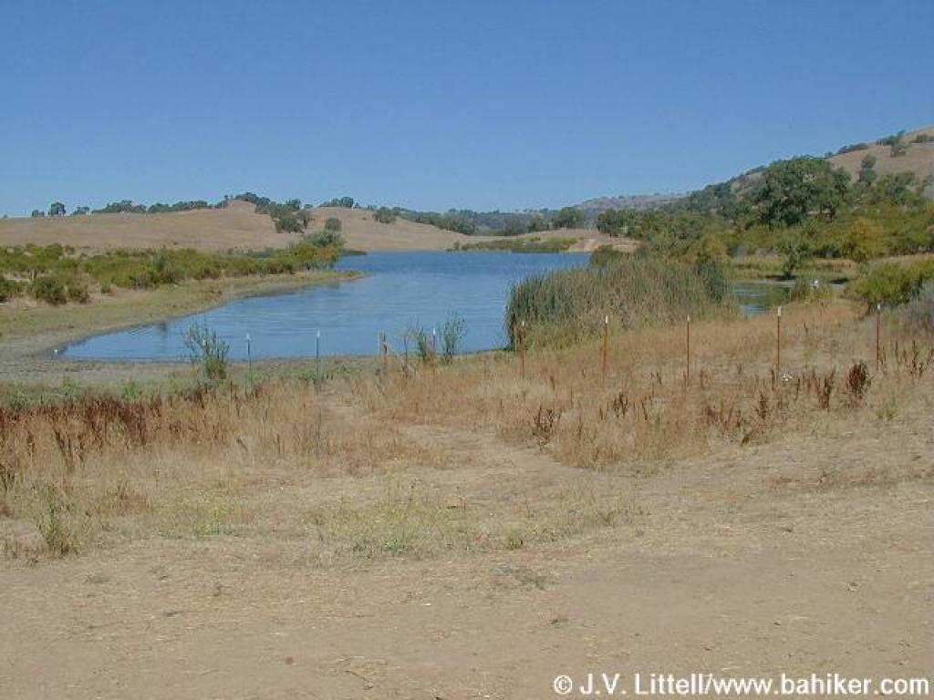 Grant Lake |
||||
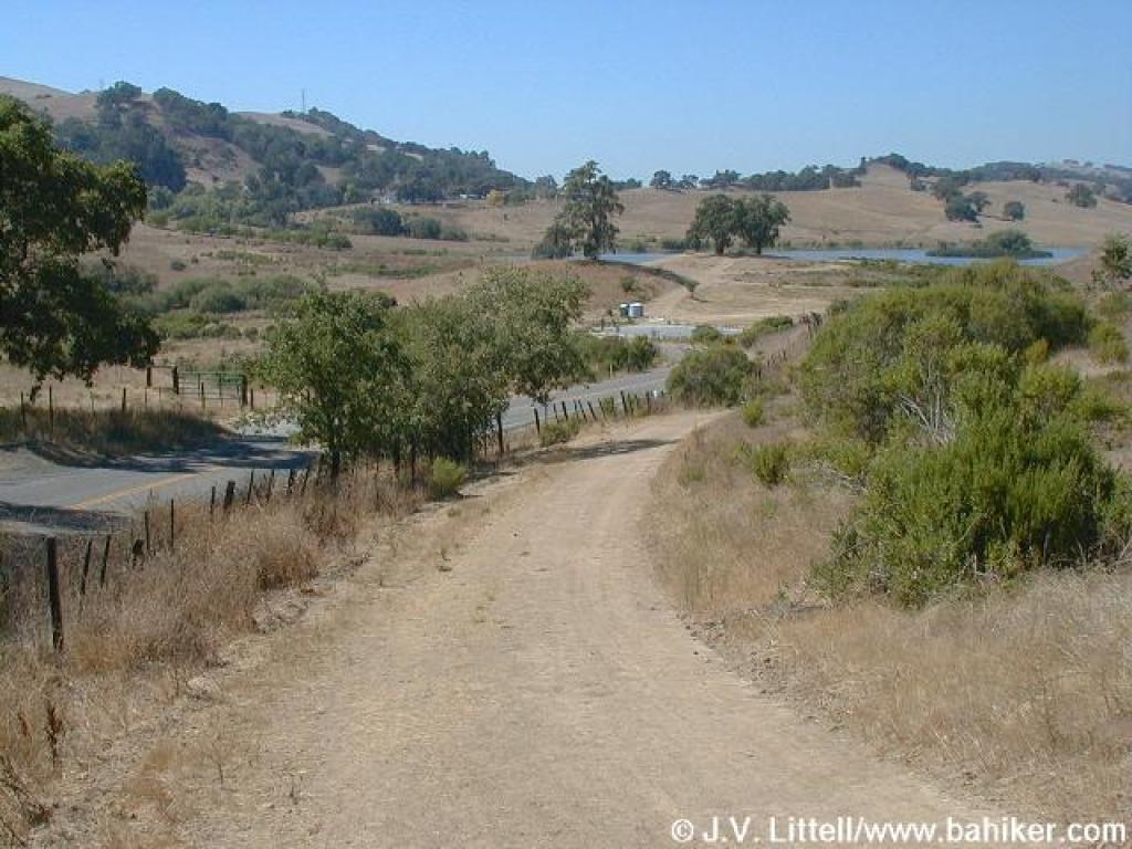
 Approaching junction |
 Brief downhill |
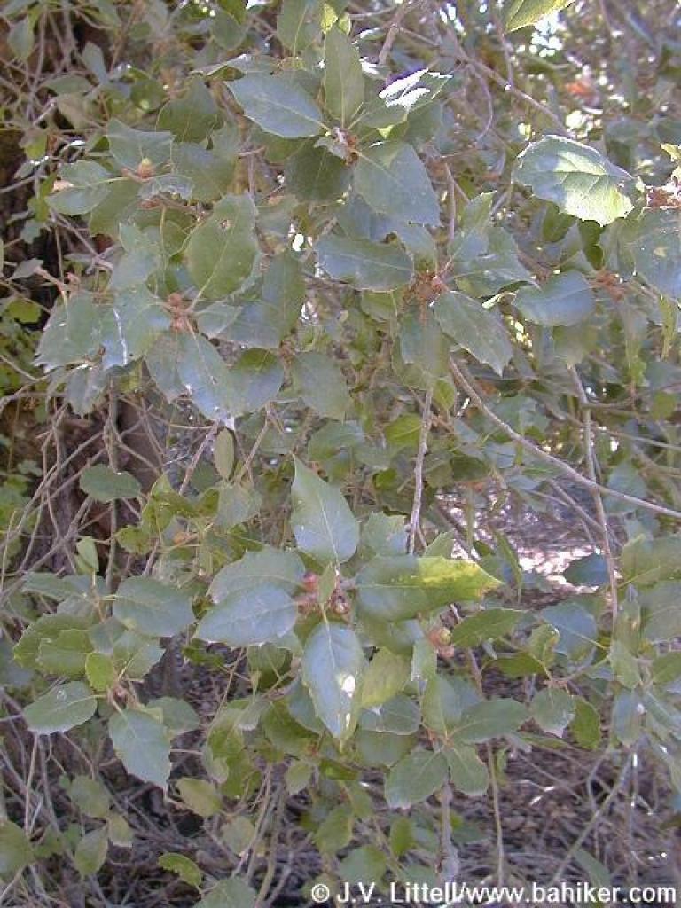 Coast live oak |
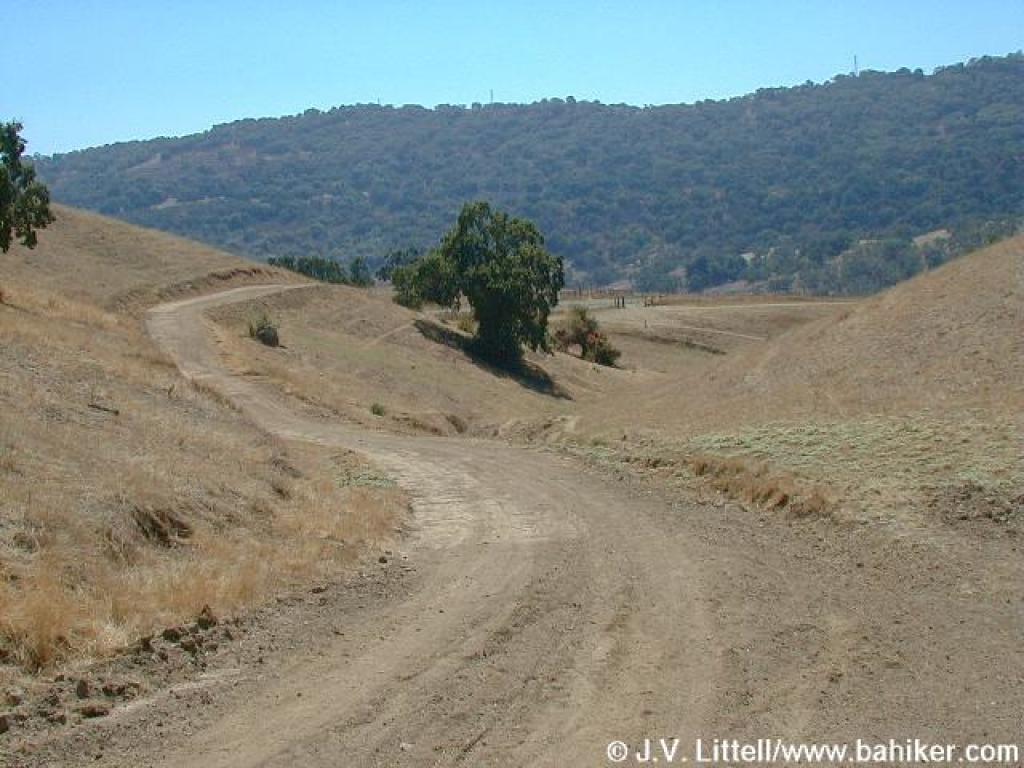
 Junction with Canal Trail |
||||
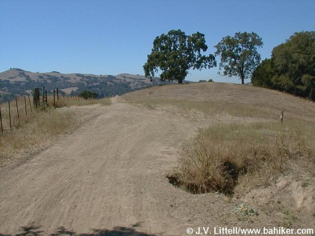
 Junction with Los Huecos Trail |
 Halls Valley Trail |
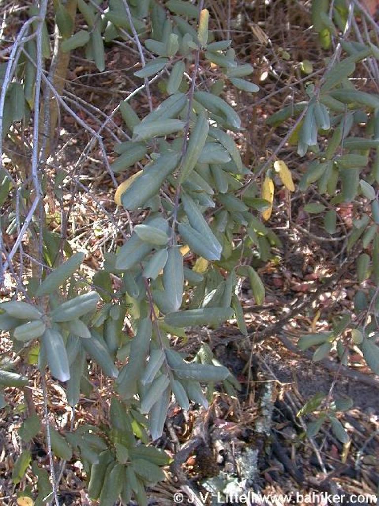 California coffeeberry |
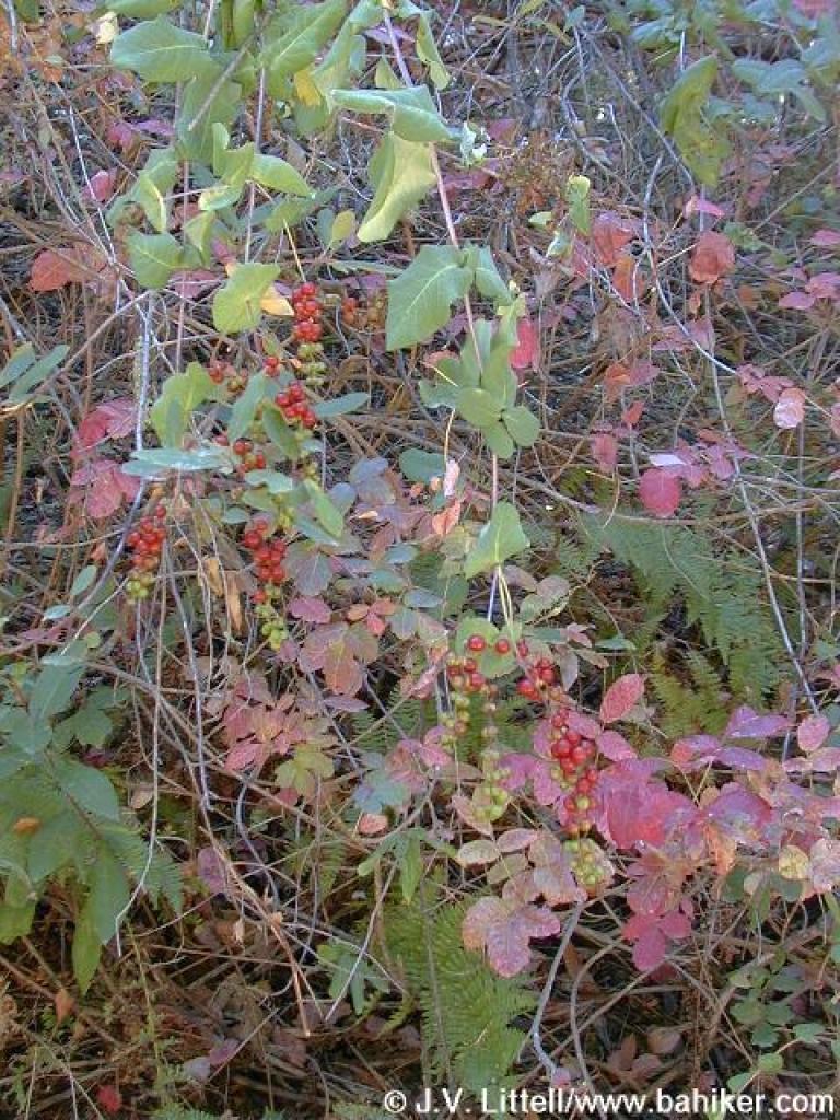
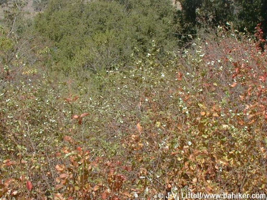 Common snowberries mixed throughout poison oak |
||||
 Coffeeberries |
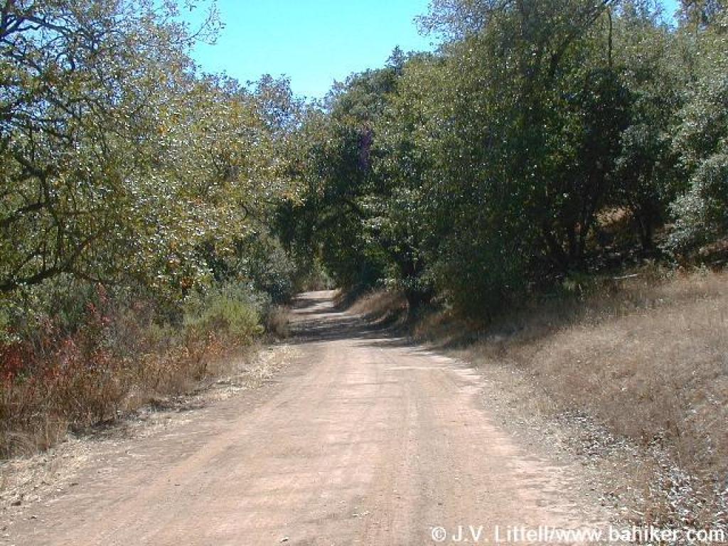 Uphill |
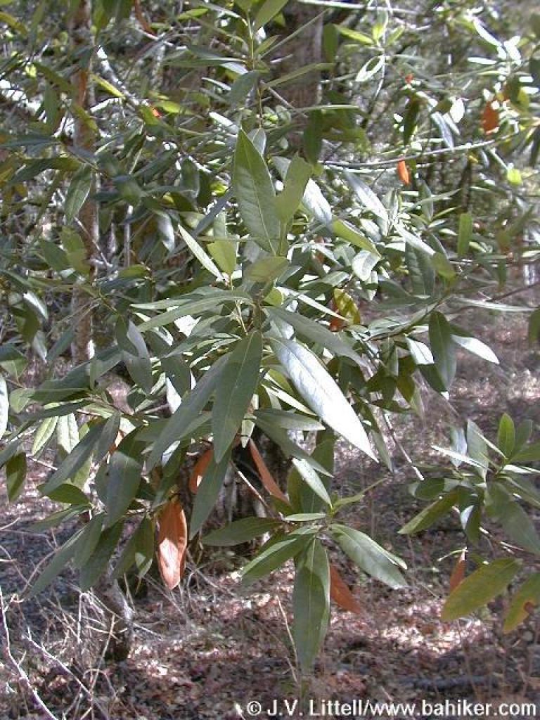 California bay |
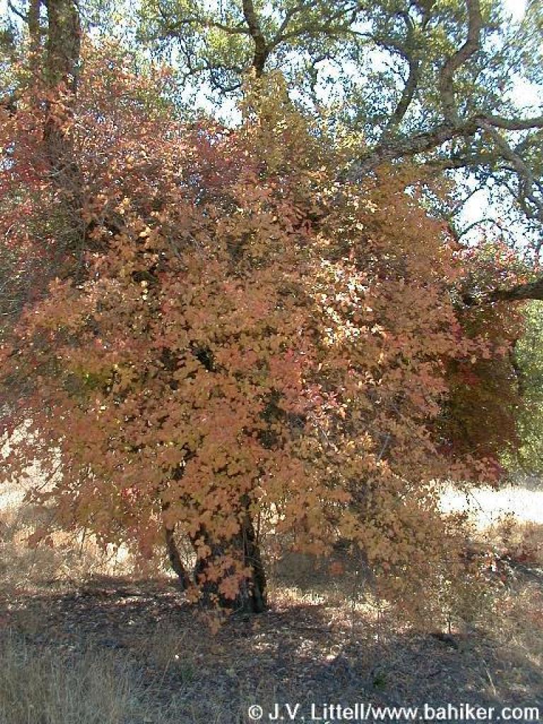
 Black oak |
||||
 Honeysuckle |
 About to cross creek |
 Seasonal creekbed |
 Little bit of chaparral |
||||
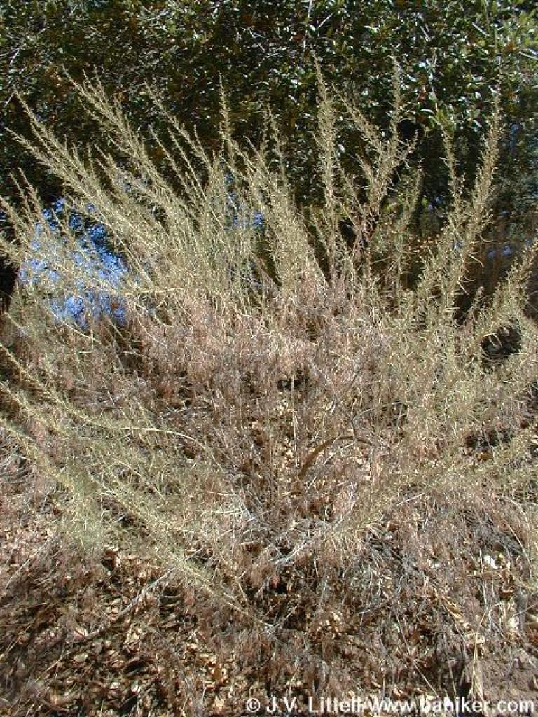 Sagebrush |
 Oak grassland |
 Poison oak |
 Oaks |
||||
 Oak |
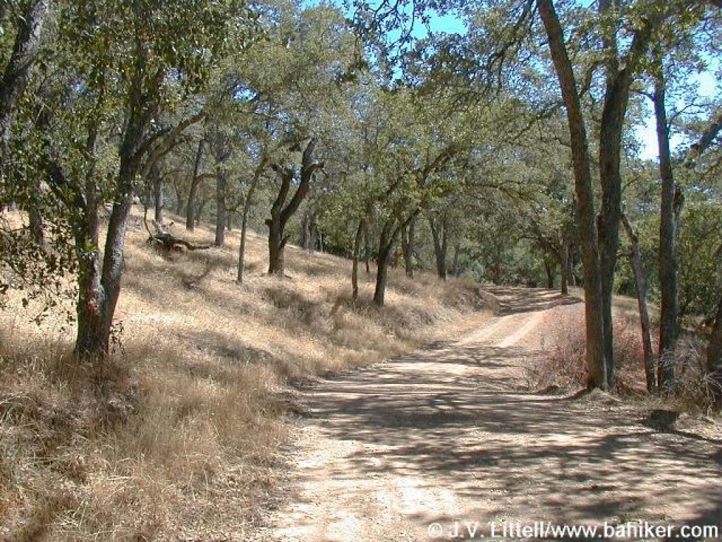
 Halls Valley Trail |
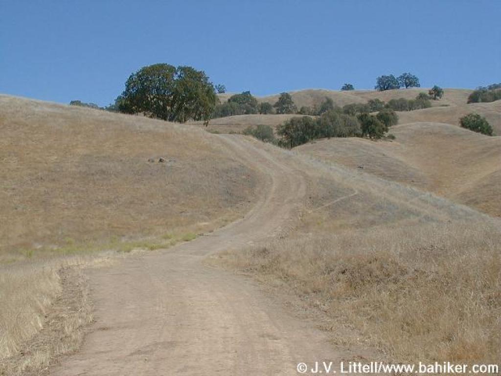 Uphill |
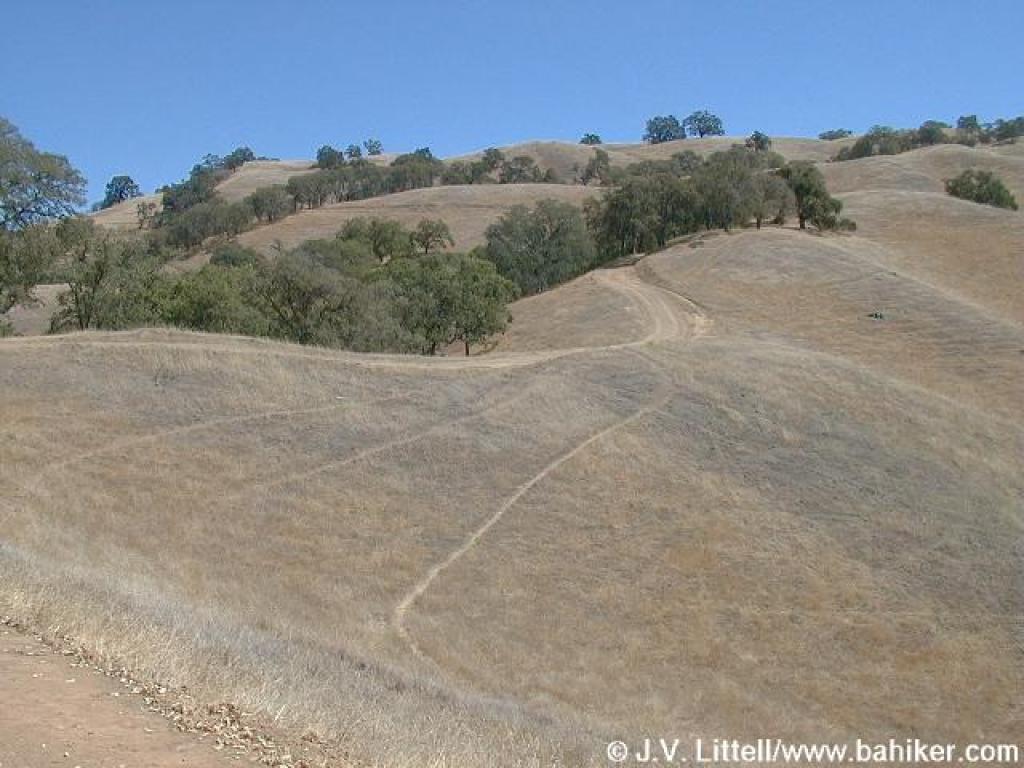 Ridge seems close, but you're not quite there yet |
||||
 North |
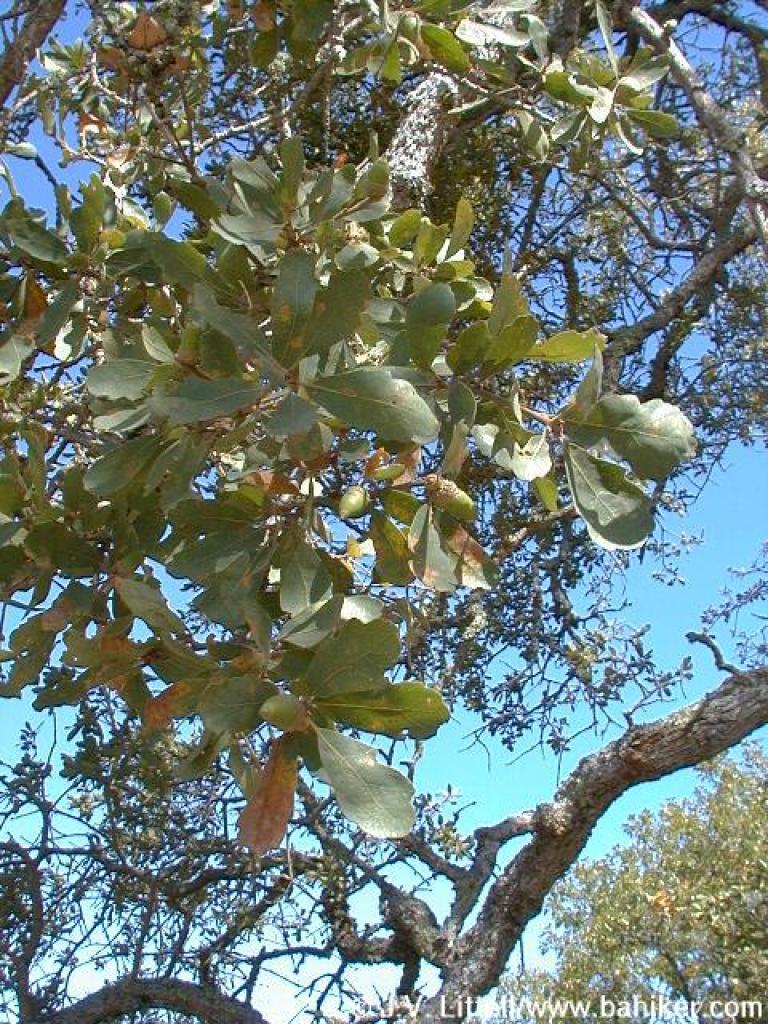 Blue oak |
 Still not there |
 Looking back downhill |
||||
 Downhill! |
 California buckeye |
 Last ascent (on this trail) |
 Approaching junction |
||||
 Junction with Cañada de Pala Trail |
 Looking back, to the north |
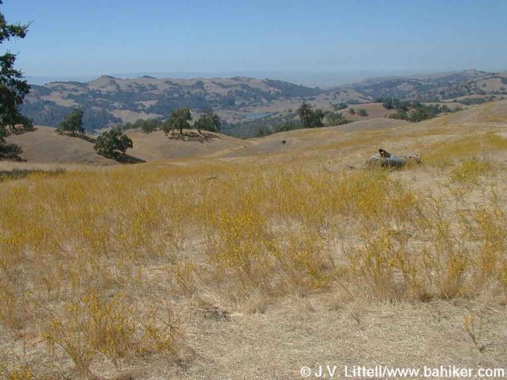
 View of Grant Lake |
 Winding uphill |
||||
 Junction with Los Huecos Trail |
 Gate |
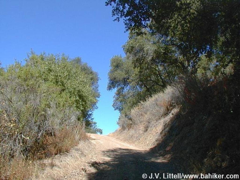
 Bare stretch |
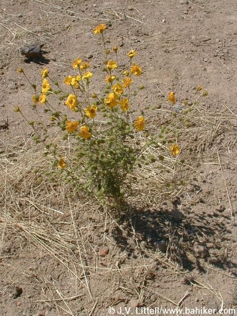 Tarweed? |
||||
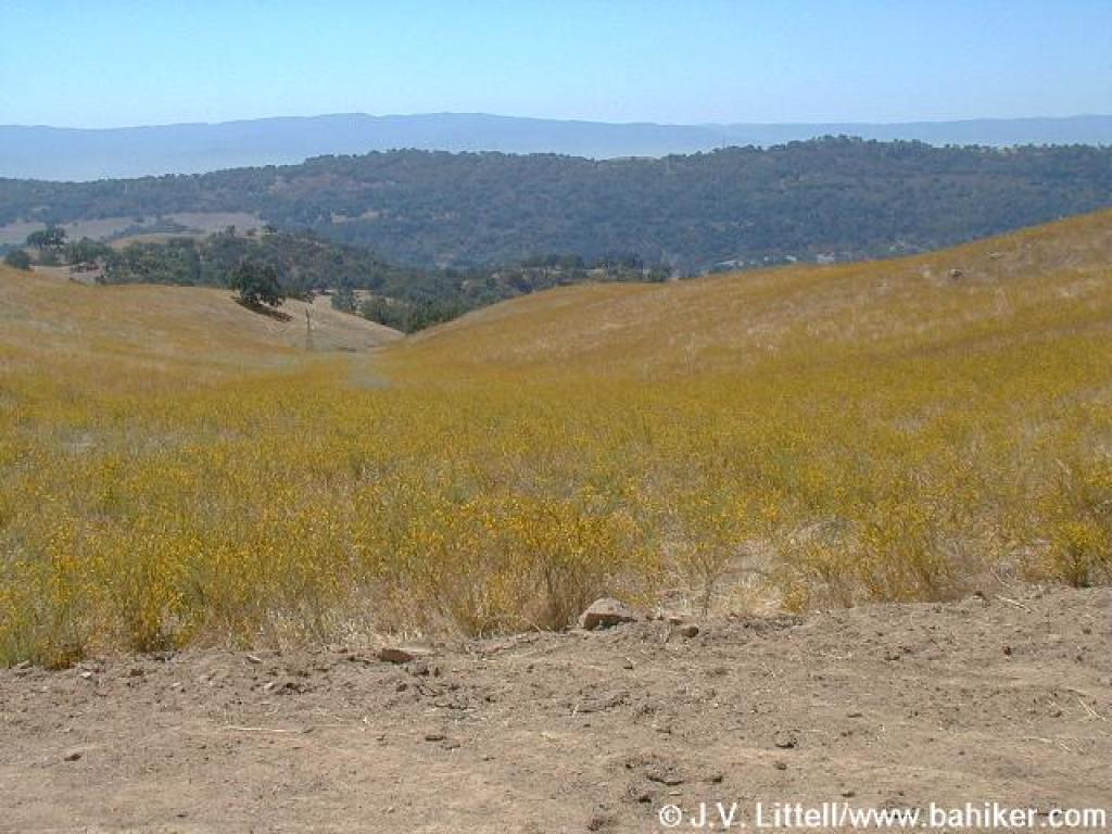
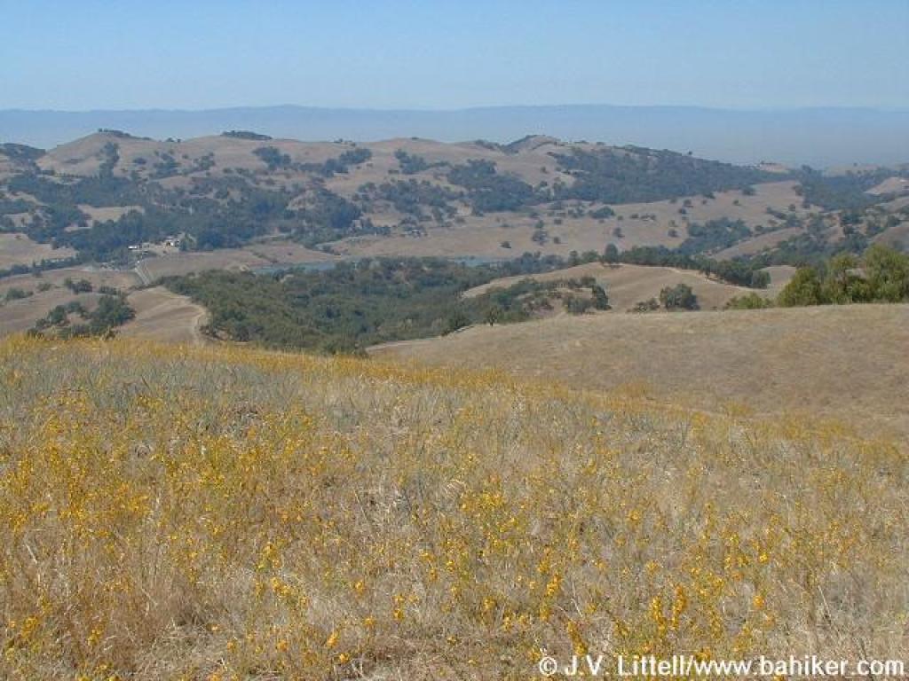 Yellow flowers and view west to the Santa Cruz Mountains |
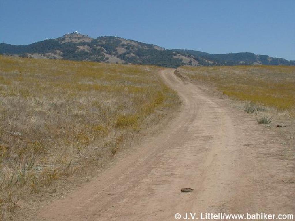 Mount Hamilton's Lick Observatory visible to the east |
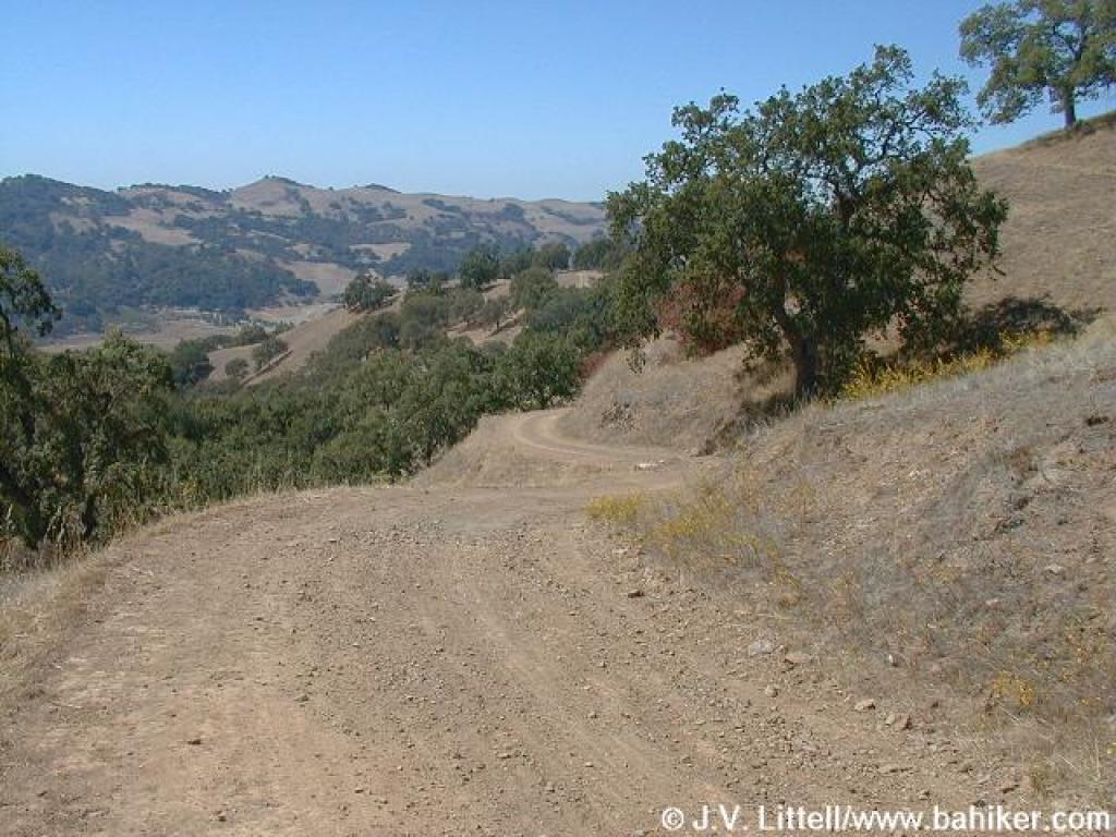
 Cañada de Pala Trail |
 A windmill nestled among the flower covered hillside |
||||
 Yellow flowers mixed with blue flowers combine to create a greenish swale |
 Approaching junction with Yerba Buena Trail |
 Last view from the ridge |
 Starting downhill |
||||
 Angling alongside a canyon |
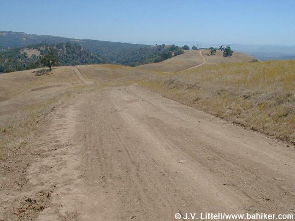
 Brief uphill |
 Steep downhill |
 View of Bass Lake, to the west |
||||
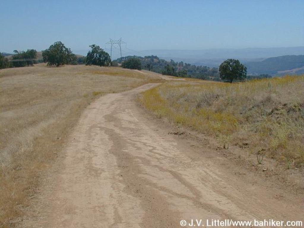
 Yerba Buena Trail |
 Approaching junction and Mount Hamilton Road |
 Yerba Buena Trail continues along the road |
 Yerba Buena Trail |
||||
 Rocks on one side of the trail, oaks on both sides |
 Trail dips, then climbs one more time |
 Approaching junction with Hotel Trail |
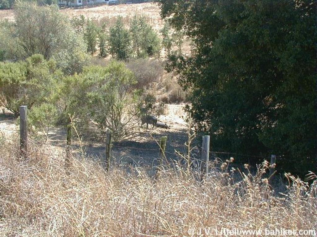 Wild pigs taking a siesta in the shade |
||||
Go to Bay Area Hiker Grant Park page Go to Bay Area Hiker Home Page |
|||||||