| Photos
from a January 2002 hike at Hidden Villa (click on any image for a larger view) |
|||||||
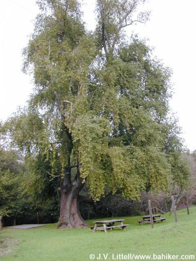
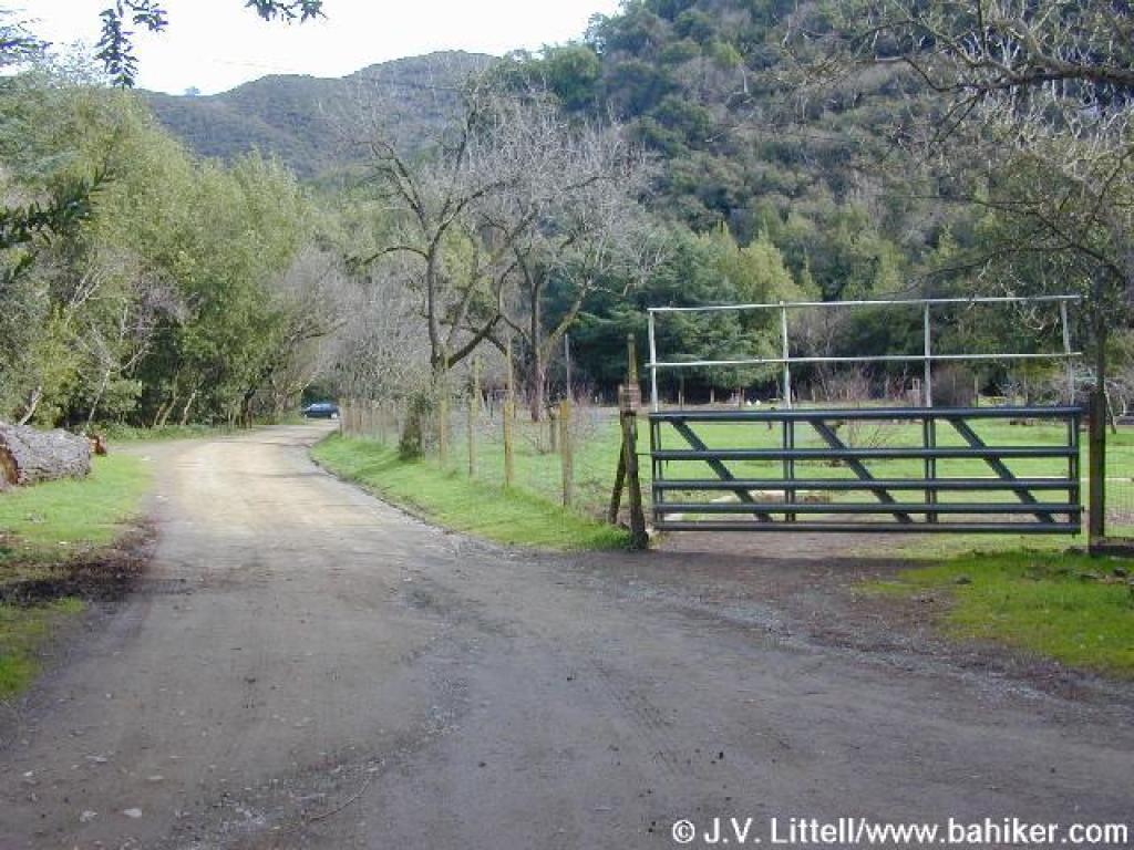
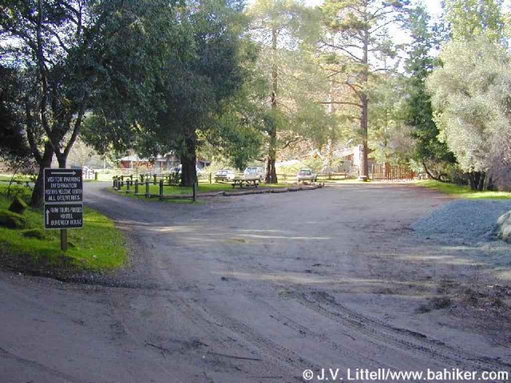 Trailhead |
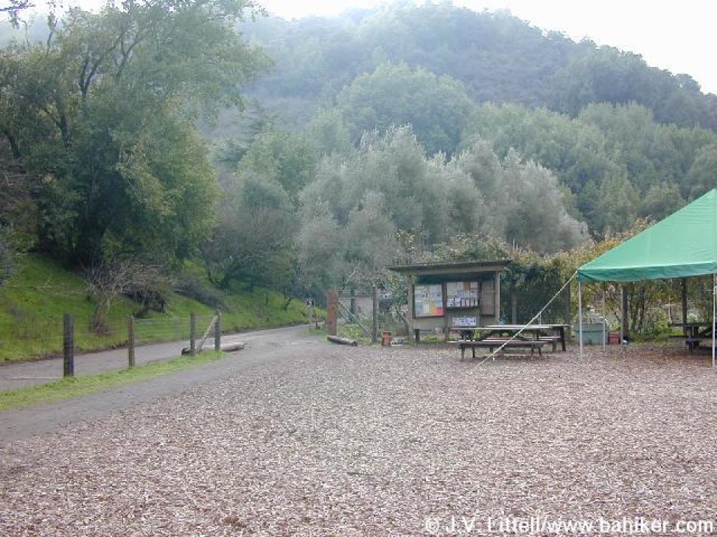
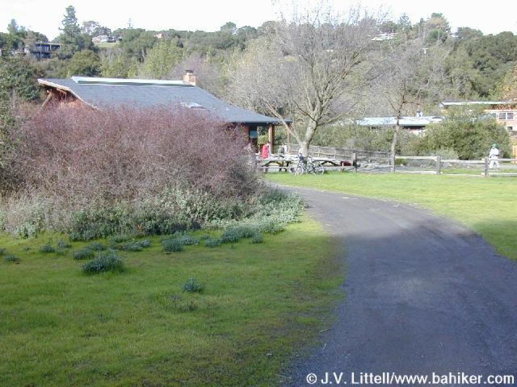
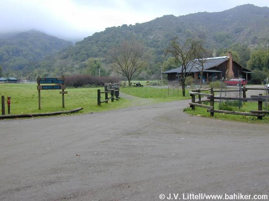 Visitor Center |
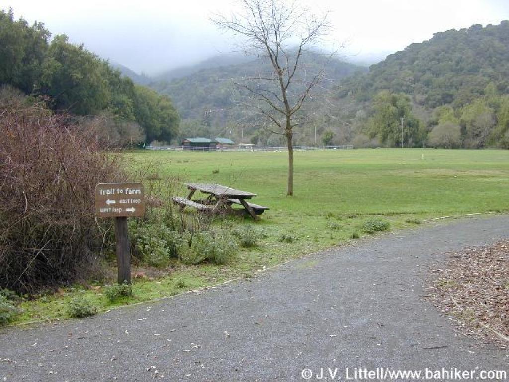 Trail splits; either way is an option, but I went right |
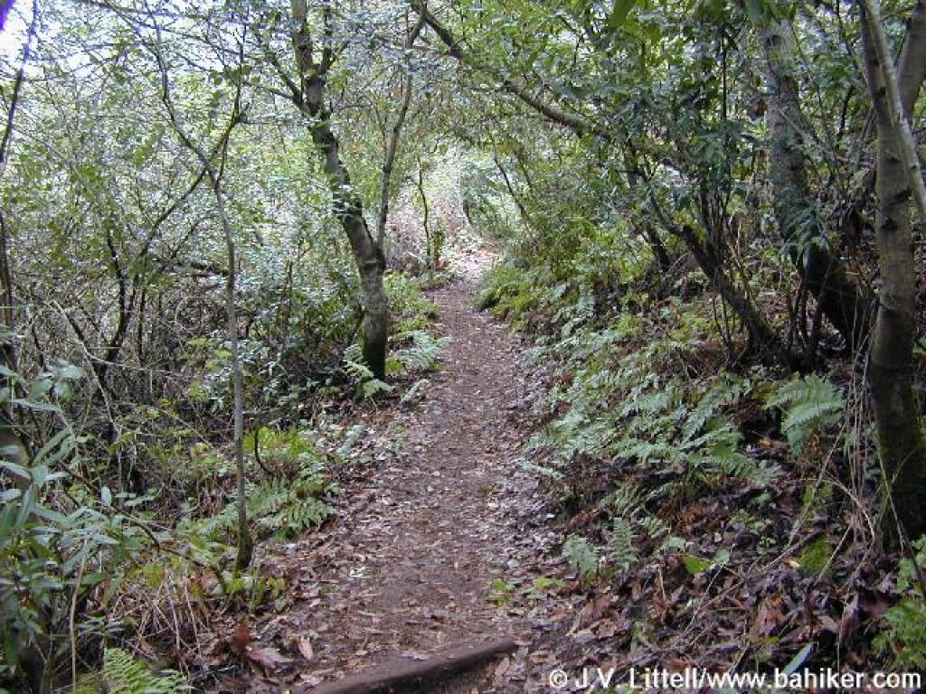
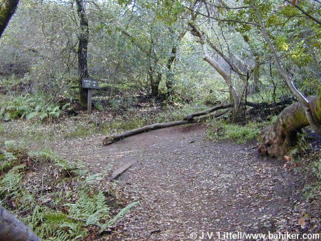
 Nature Trail |
||||
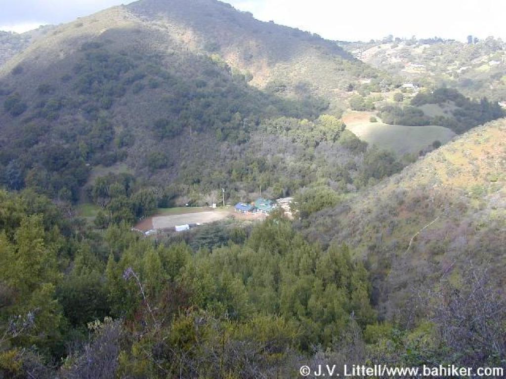
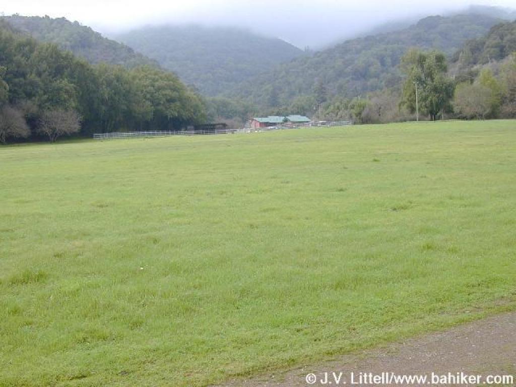 A view across the meadow to the farm |
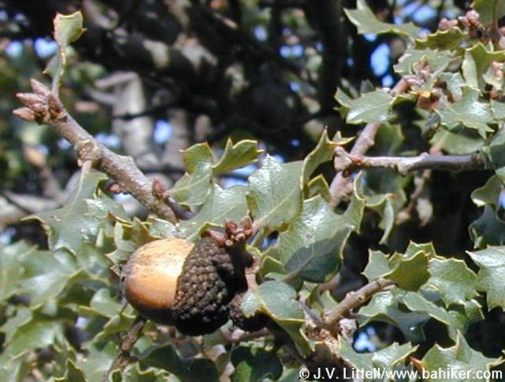
 California bay |
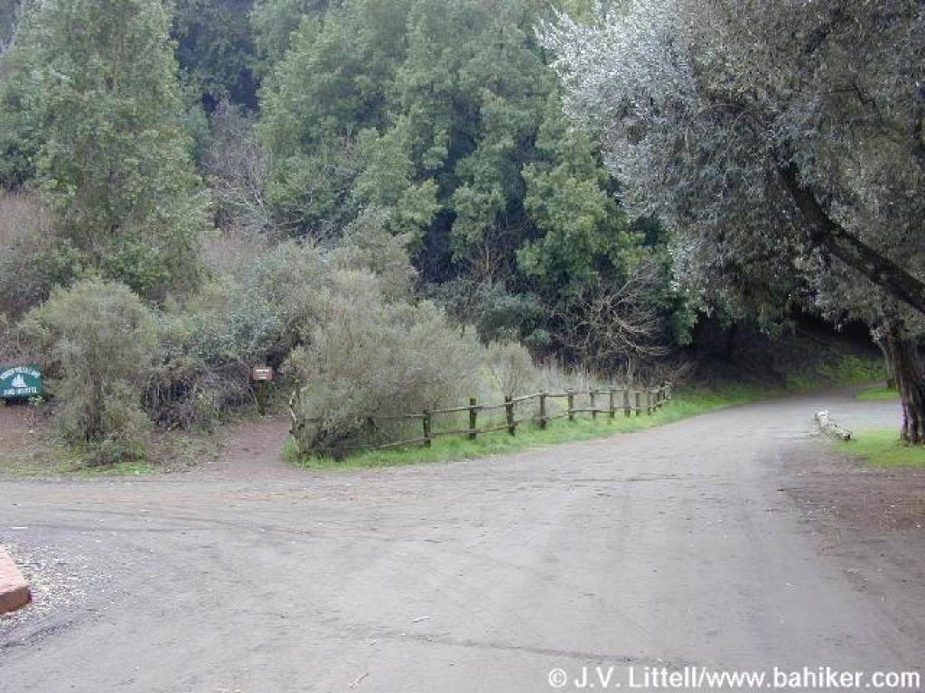
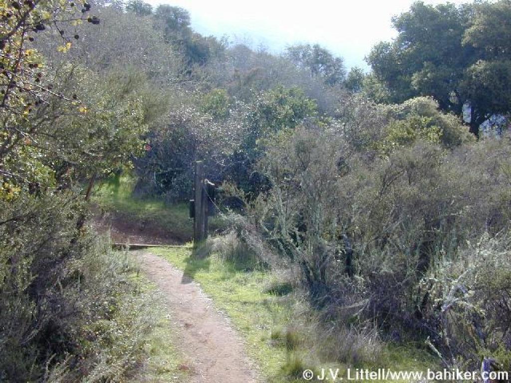
 Bear left here and cross the parking lot |
 Pick up the trail to the left of the information kiosk |
||||
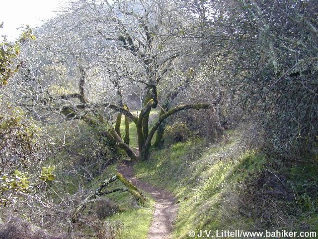
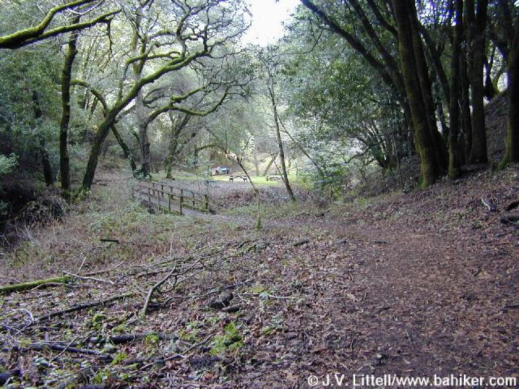
 Hostel Trail begins just past the Hostel |
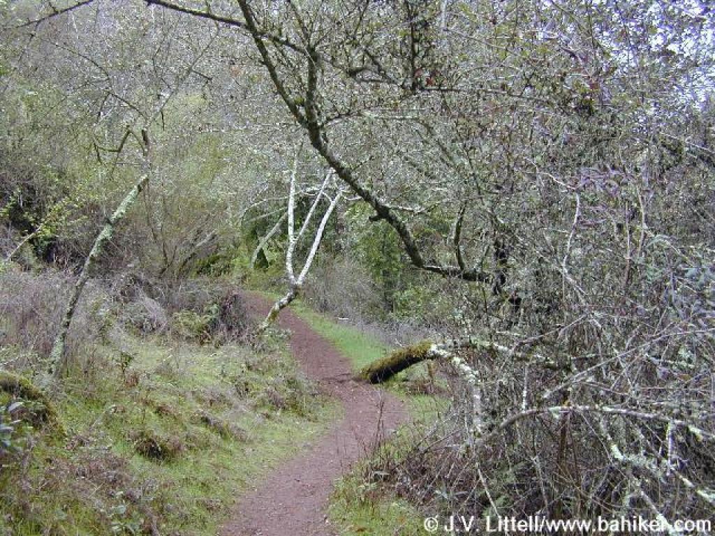
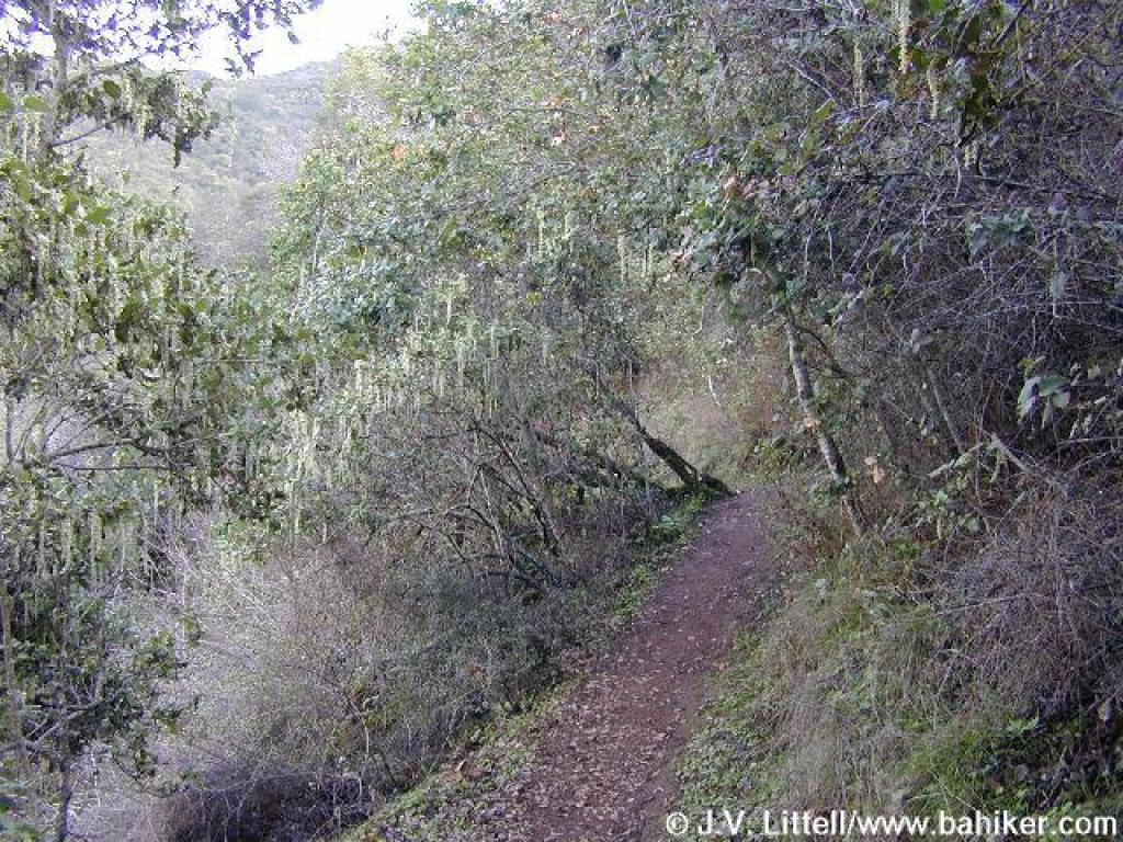
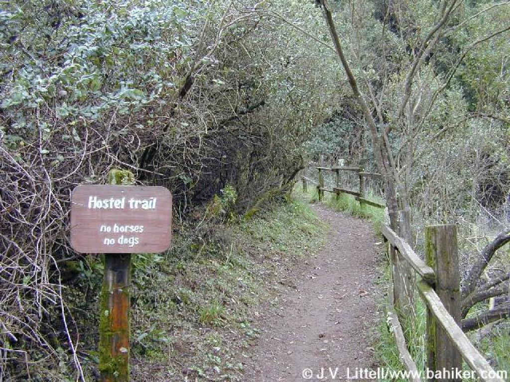 Hostel Trail |
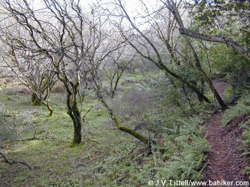
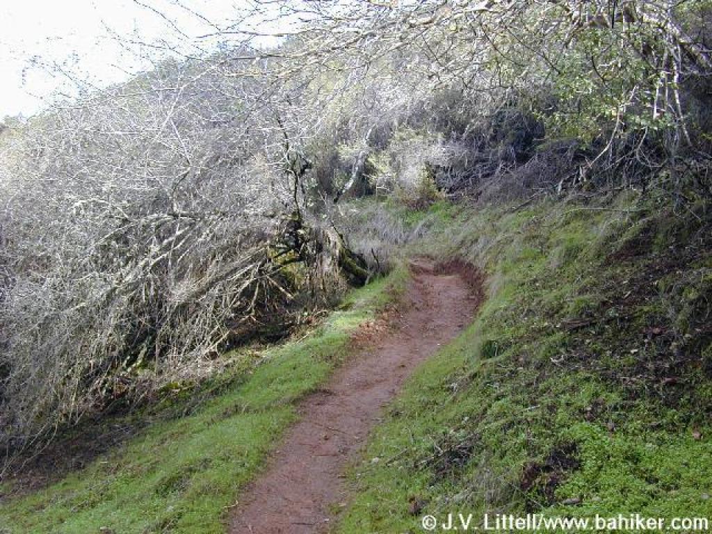
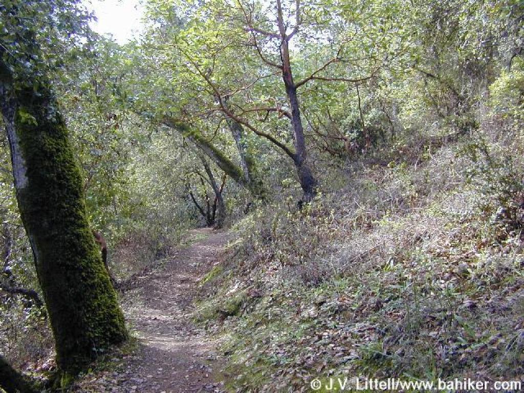
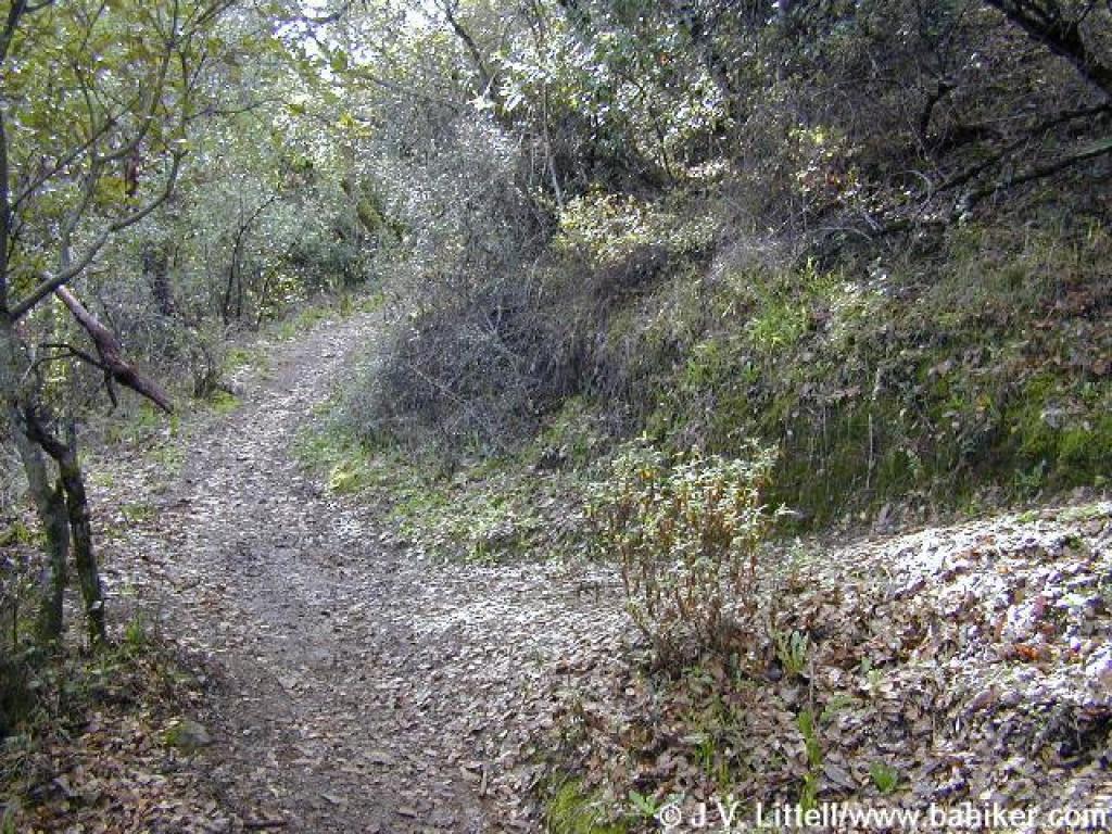
 Trail initially climbs through woods |
 But then enters grassy chaparral |
||||
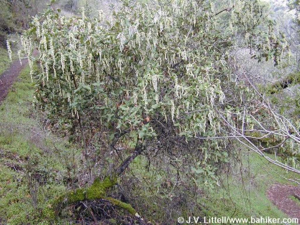 A silktassel shrub in full bloom |
 Silktassel |
 View northeast |
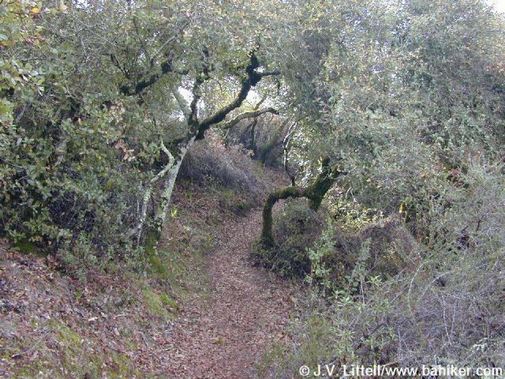
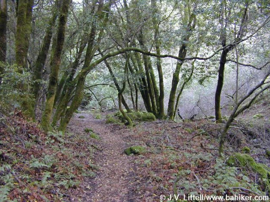
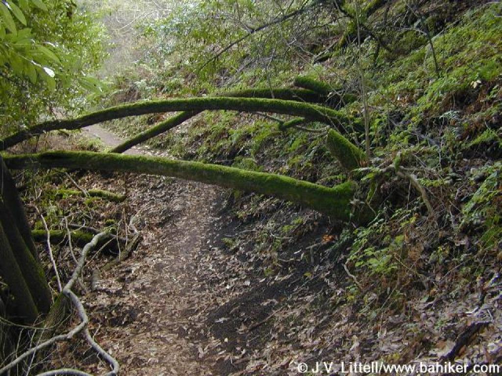 Back in the woods, the trail ducks under some fallen California bays |
||||
 View back downhill to the farm |
 More silktassel shrubs on the sides of the trail |
 Hostel Trail skirts a pretty sloping meadow dotted with buckeyes |
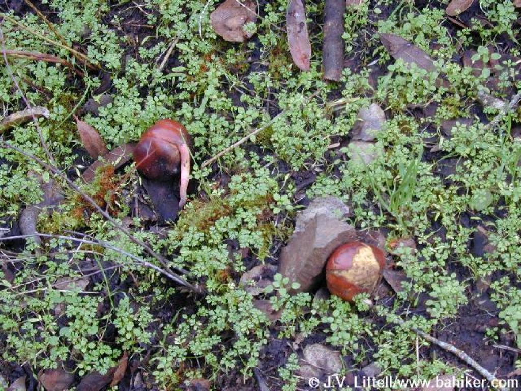 Buckeye seeds |
||||
 Junction with Toyon Trail |
 Hostel Trail |
 View back |
 Heading for a hilltop |
||||
 An oak |
 View east |
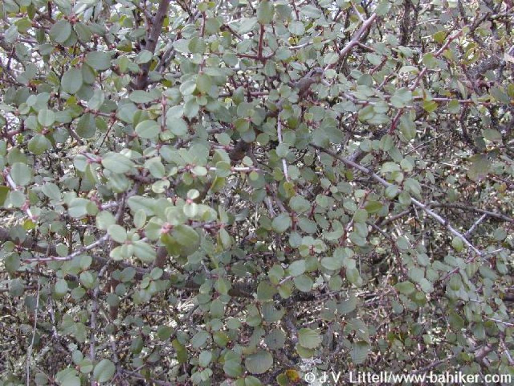
 Chamise |
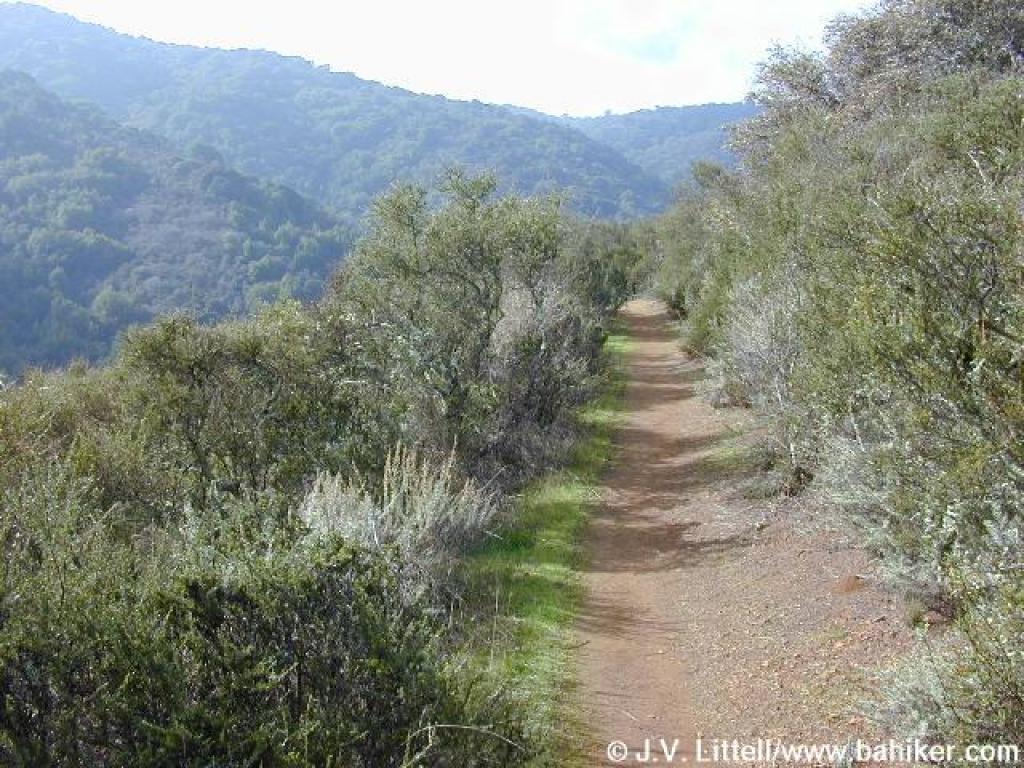
 Hostel Trail |
||||
 Approaching gate and hilltop |
 A view back |
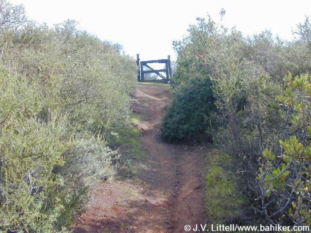
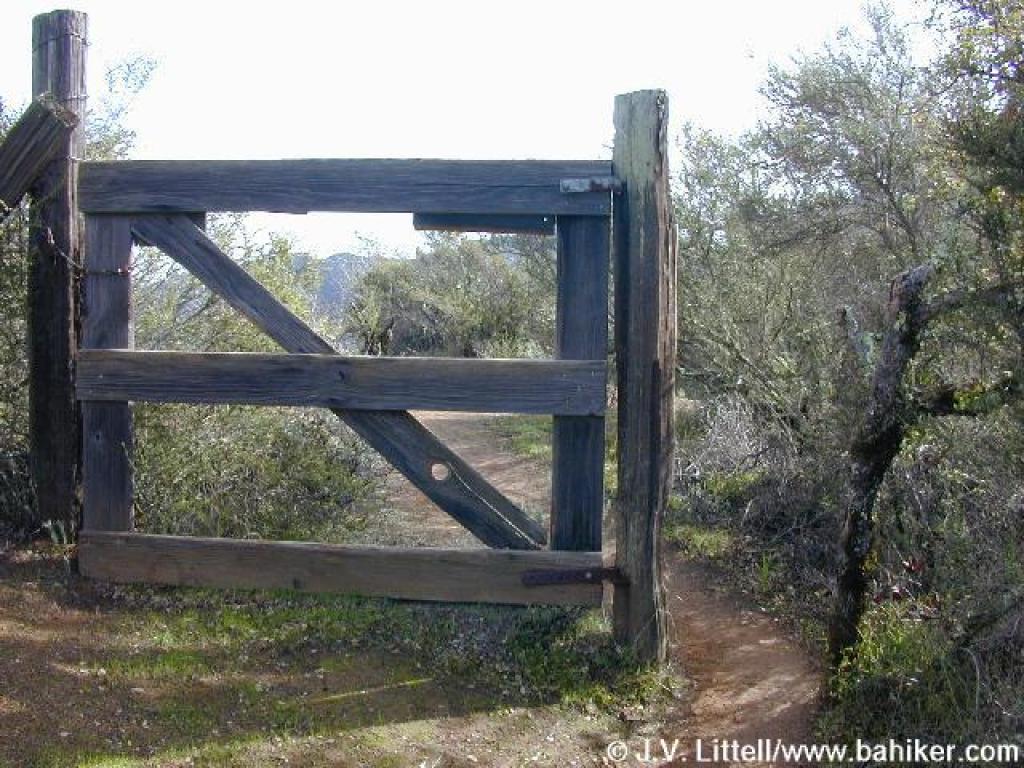 A squeeze around the gate |
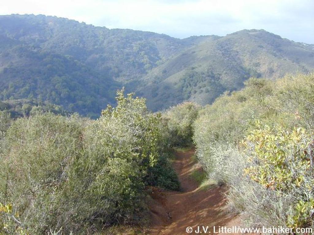
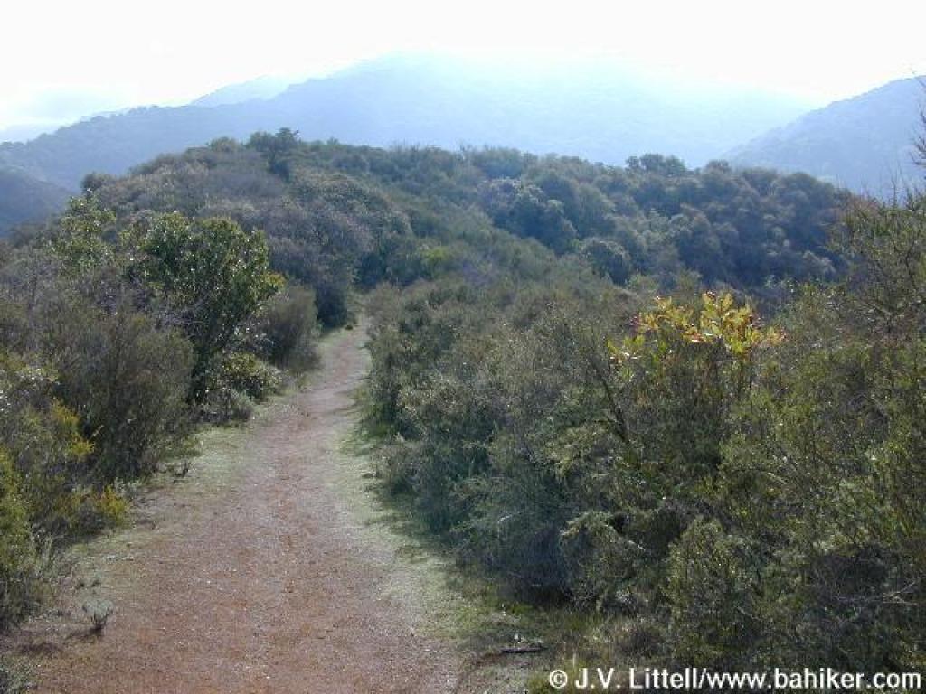 Trail progresses on the ridge |
||||
 From this direction looking back, the gate frames a nice view |
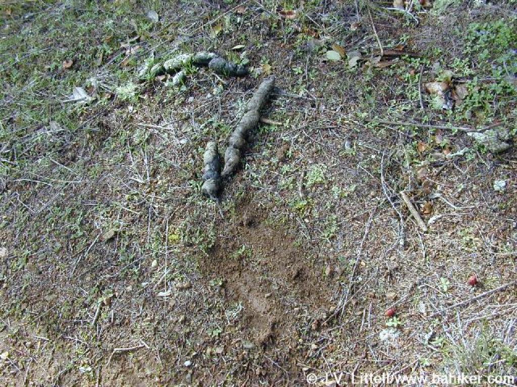 Scat, probably from a bobcat |
 Buckbrush |
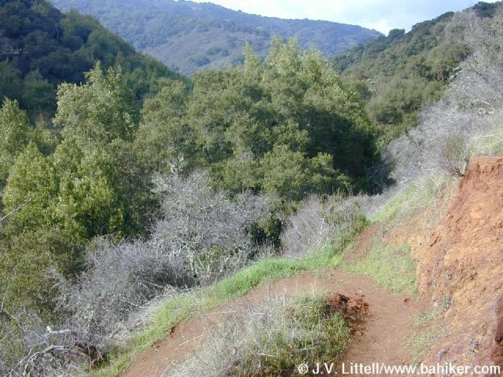
 Flat stretch |
||||
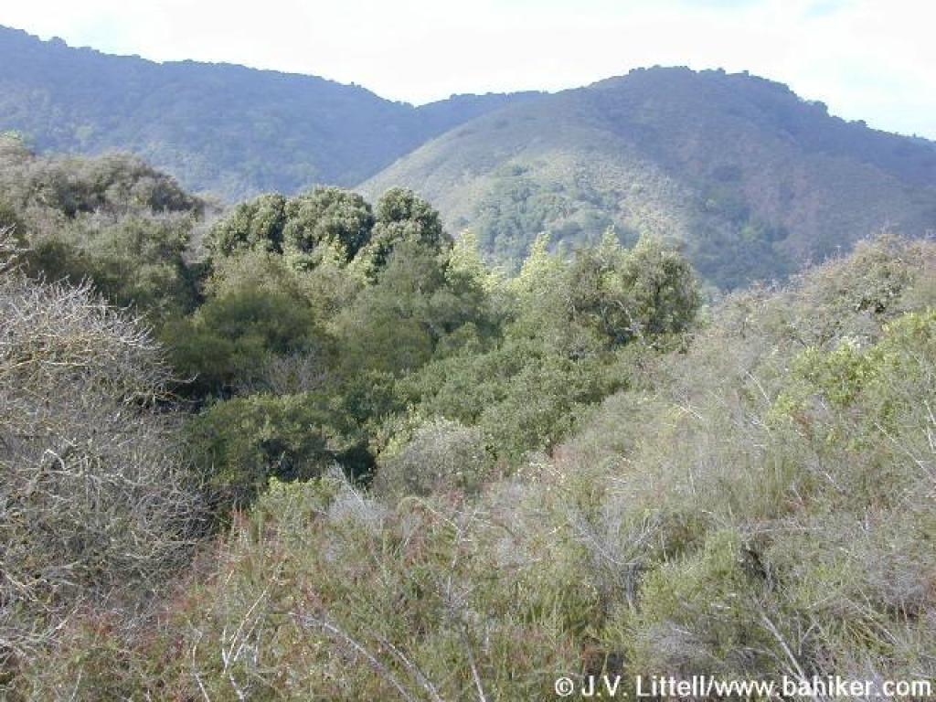
 Black Mountain |
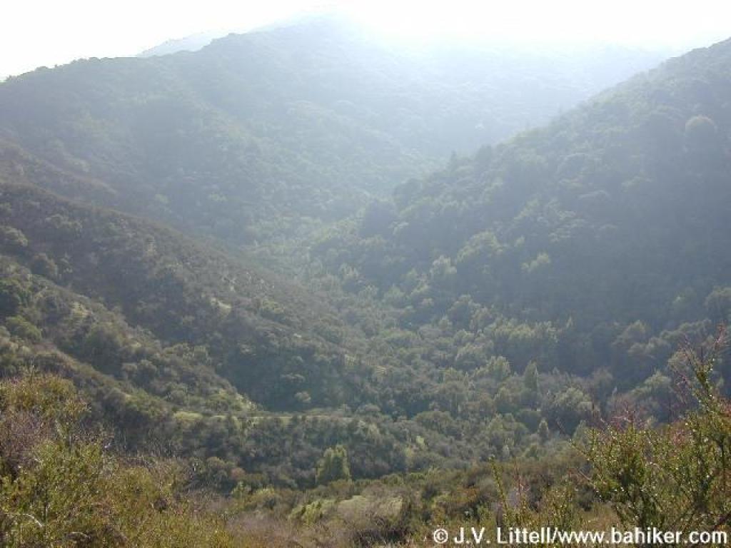
 View toward Duveneck Windmill Pasture |
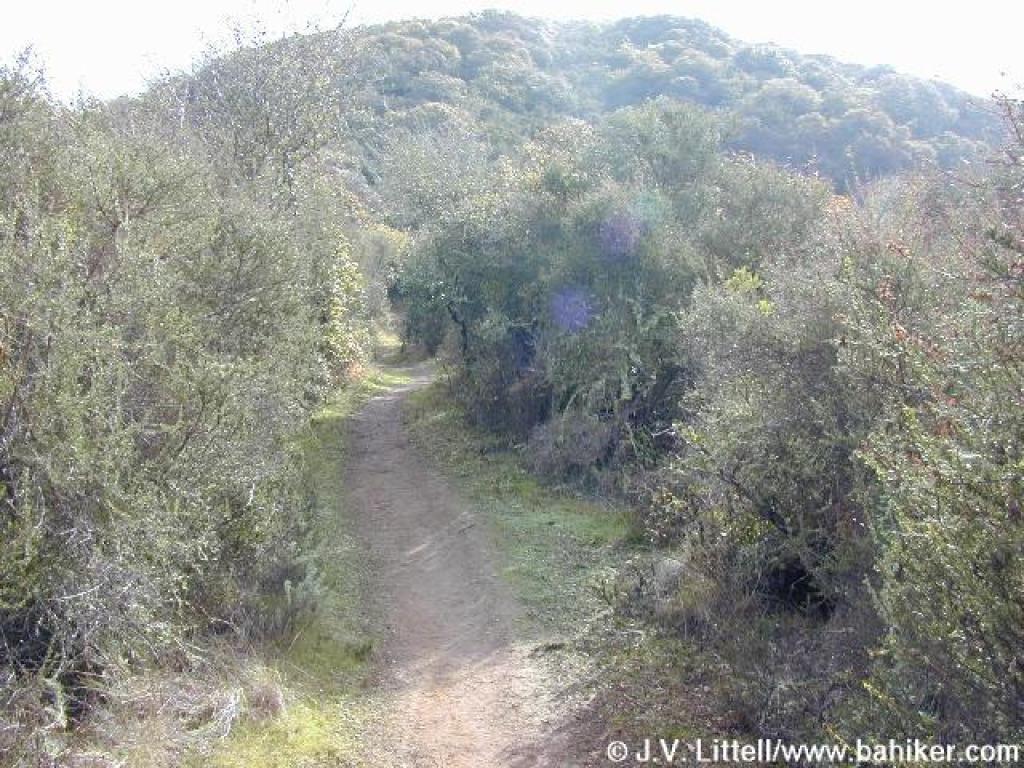
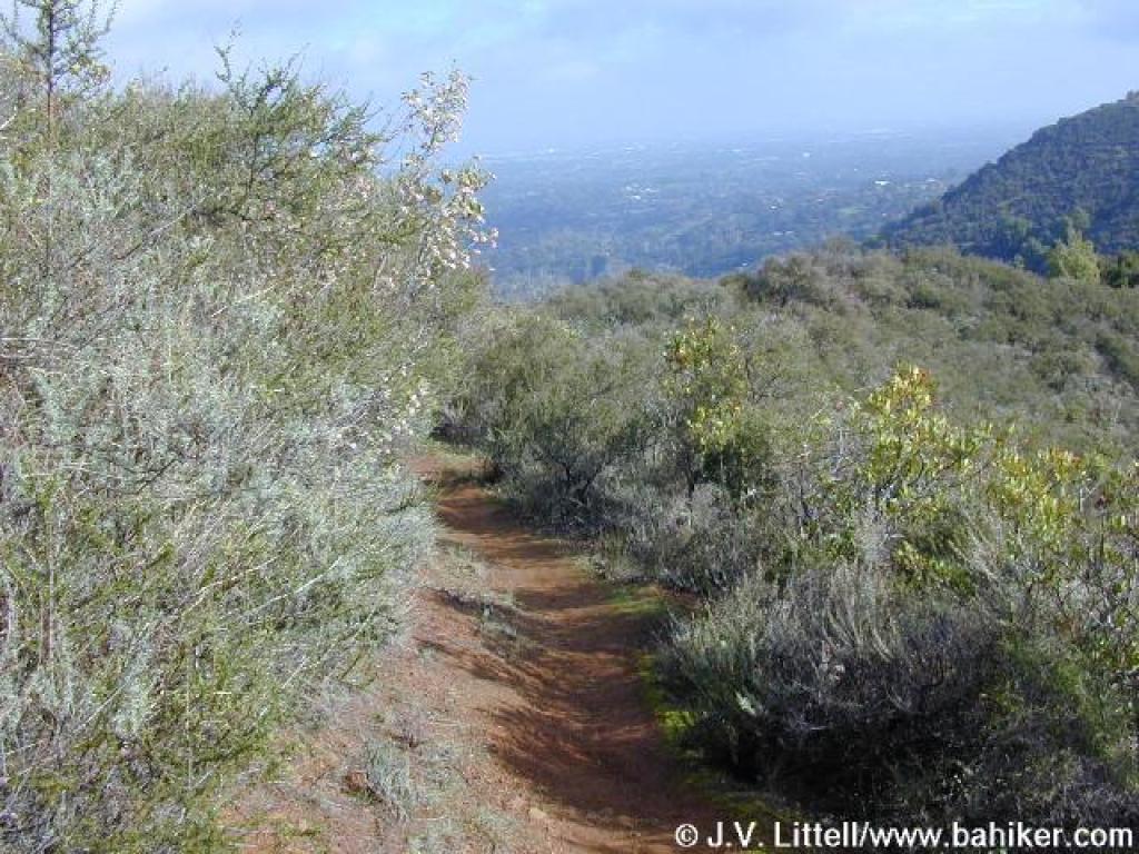 Hostel Trail |
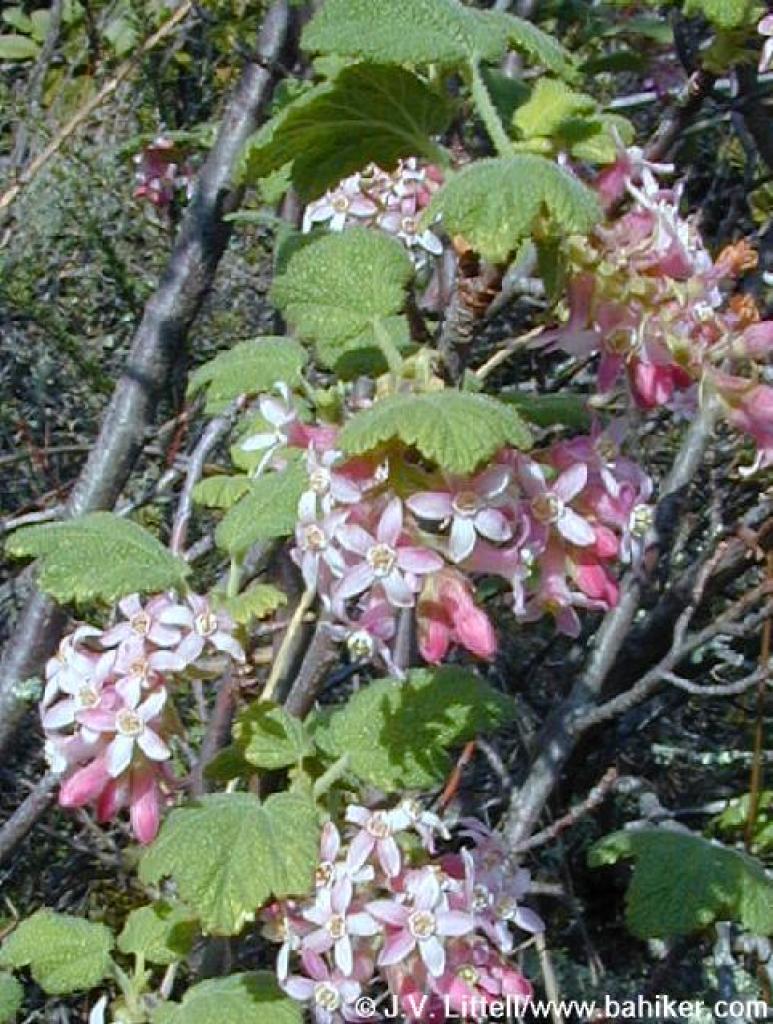 Currant |
||||
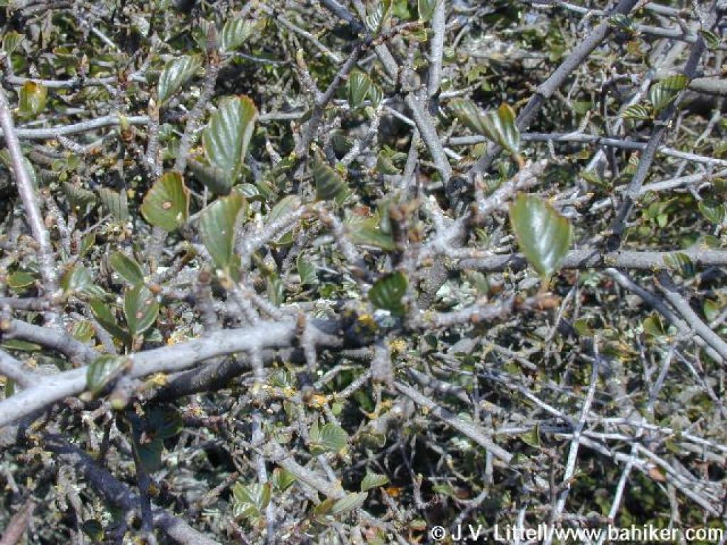 Cercocarpus |
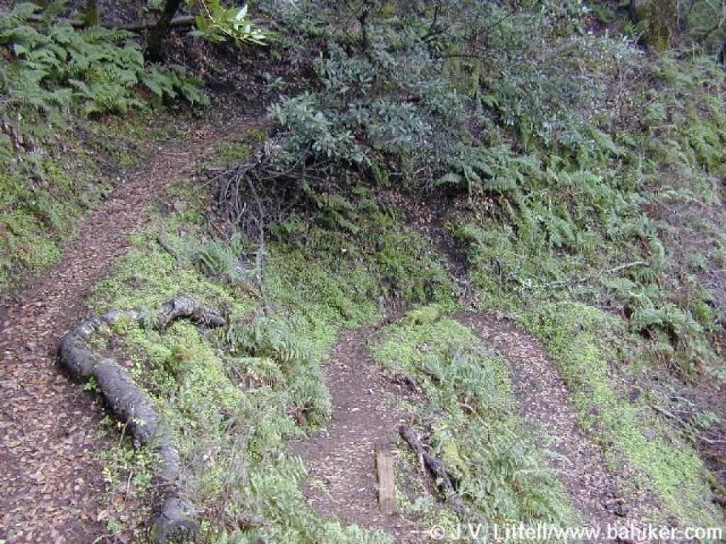
 Not a junction; the trail curves left here |
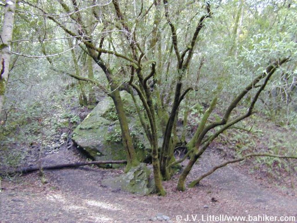
 Trail passes right through a buckeye |
 Junction |
||||
 Grapevine Trail |
 Buckeyes on a hillside |
 View to Ewing Hill |
 The trail takes a sharp turn |
||||
 Junction with Adobe Creek Trail |
 Junction with Pipeline Trail |
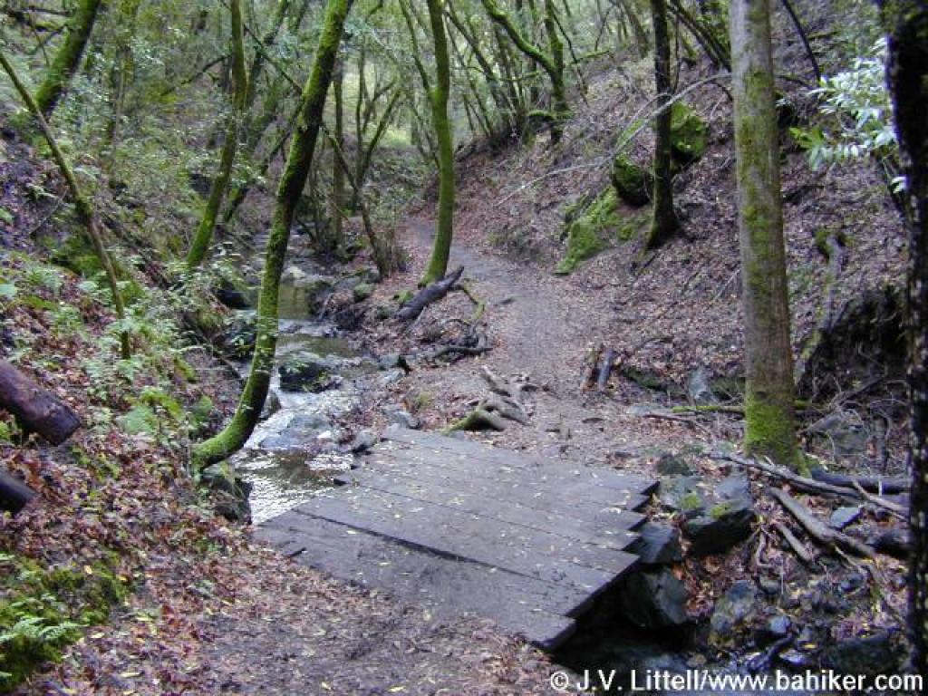
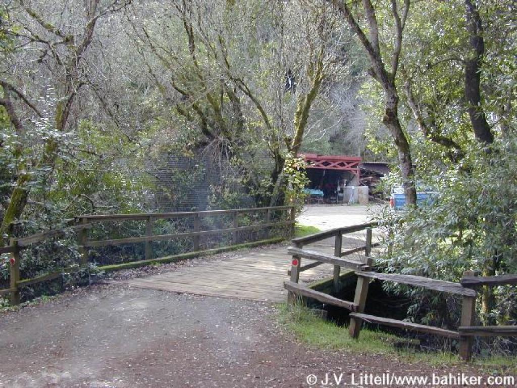
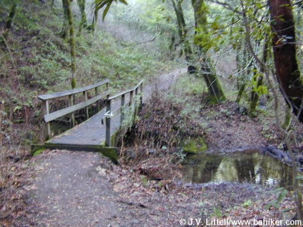 Bridge |
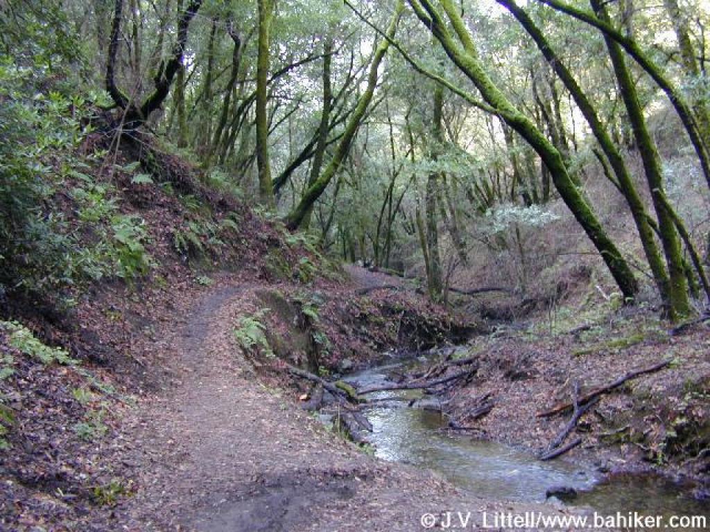 Adobe Creek Trail |
||||
 Bridge |
 Junction |
 Junction with Bunny Creek Loop Trail |
 Gibralter Rock |
||||
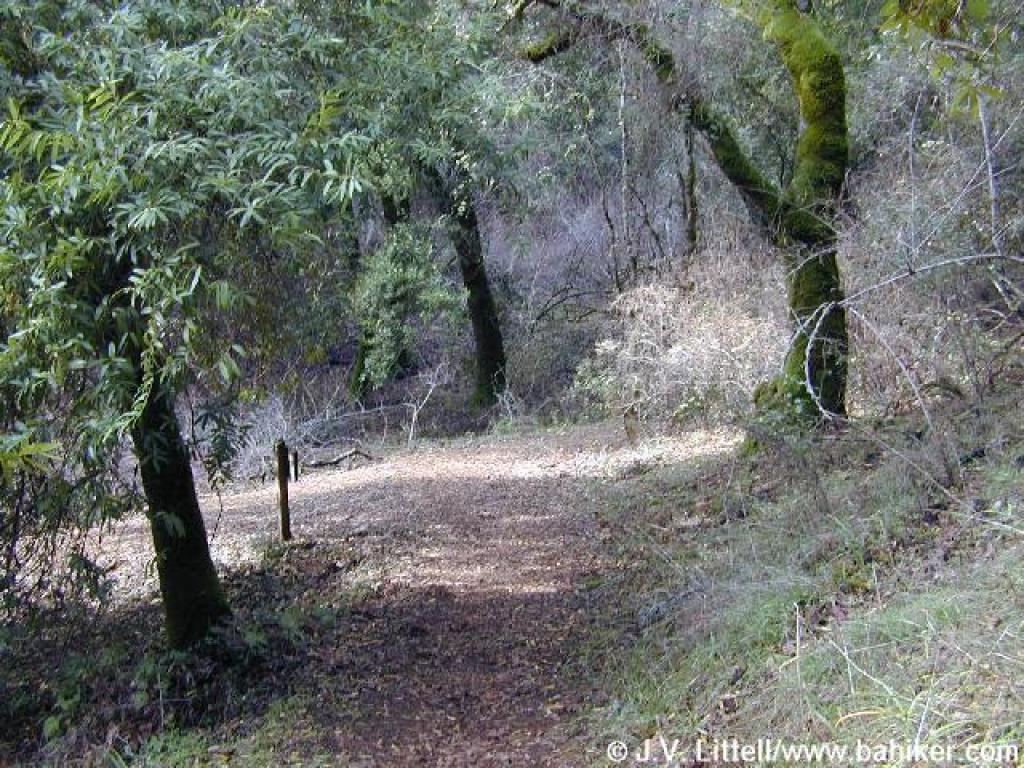
 Bunny Creek Loop Trail |
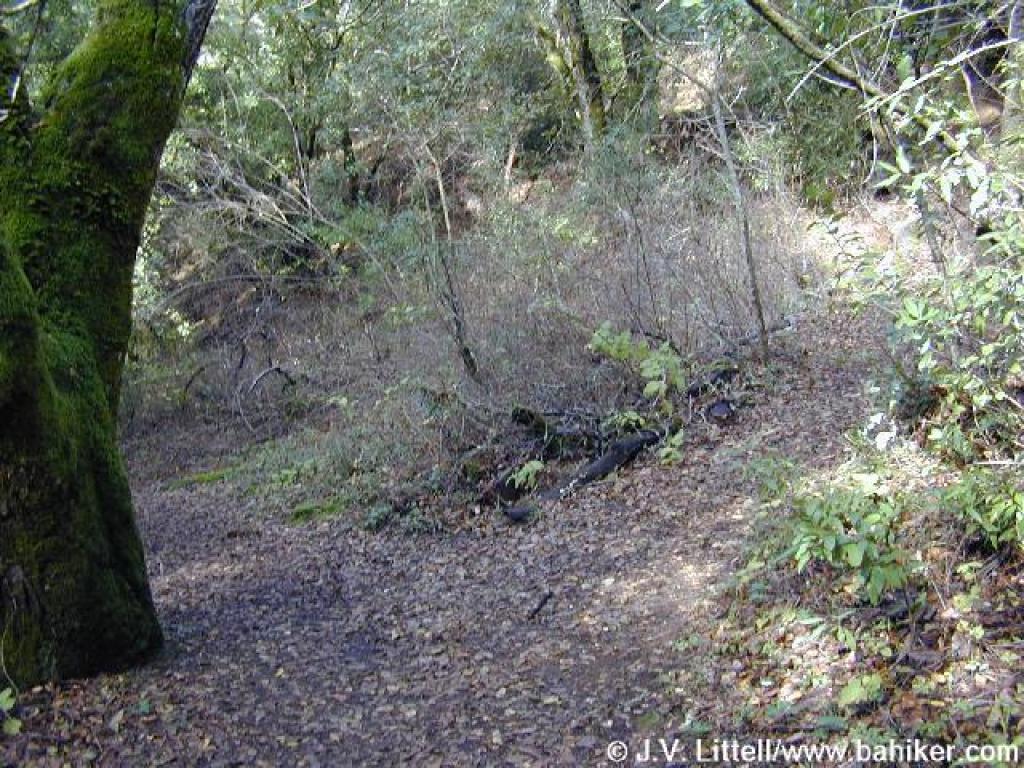
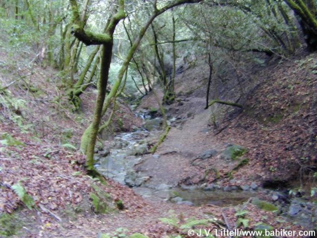
 Trail curves away from the creek |
 Unsigned split; bear left |
 Bunny Creek Loop Trail |
||||
 Another unsigned junction; Bunny Creek Loop Trail heads uphill but I turned right |
 I decided to name this trail Cottontail Cutoff |
 Switchbacks |
 Junction with Bunny Creek Loop Trail |
||||
 Bunny Creek Loop Trail |
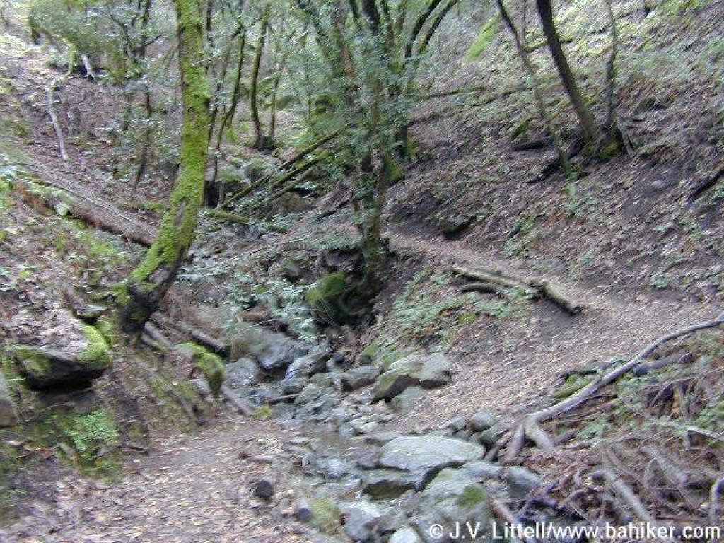 Waterfall area |
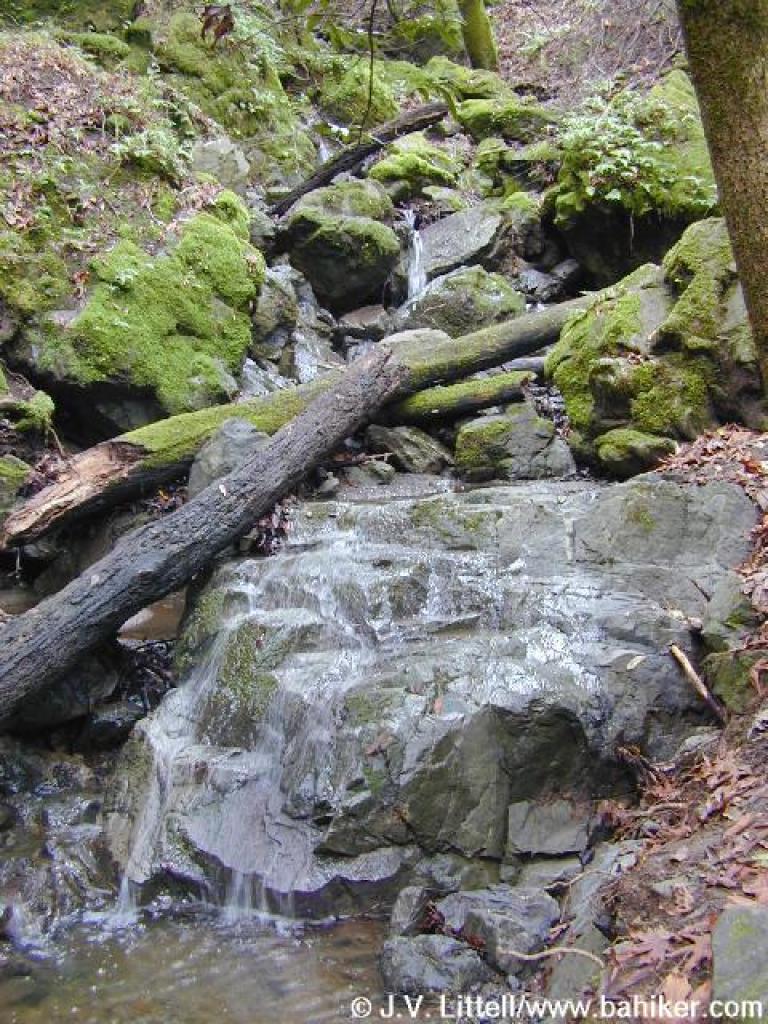 Waterfall |
 Returning down Bunny Creek Loop Trail |
||||
 End of Bunny Creek Loop Trail |
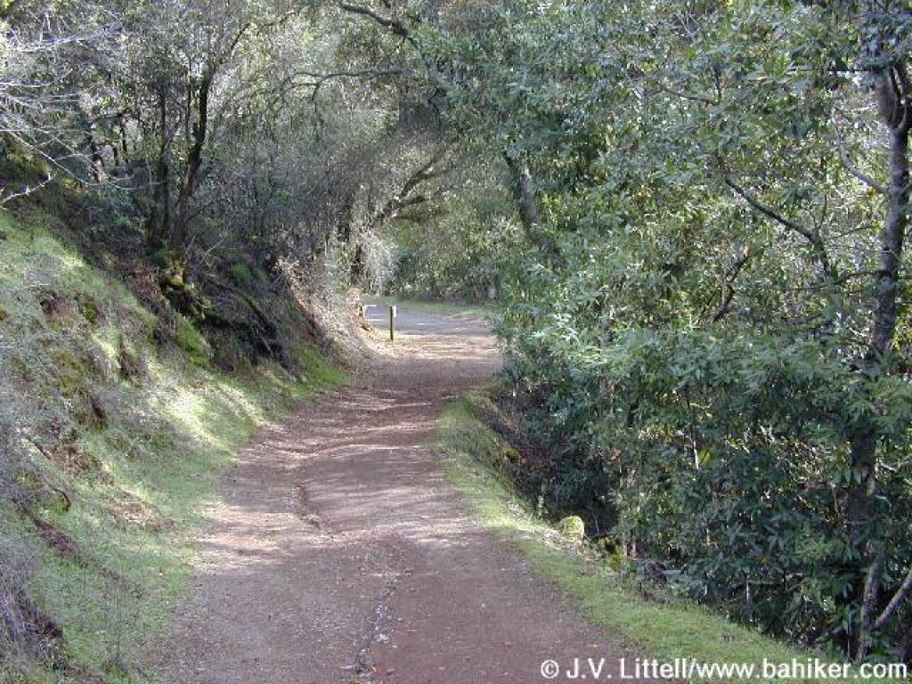
 For a short distance you must walk on service roads |
 You'll pass the chickens and pigs |
 Junction; turn left |
||||
 Approaching the sheep pasture and vegetable garden |
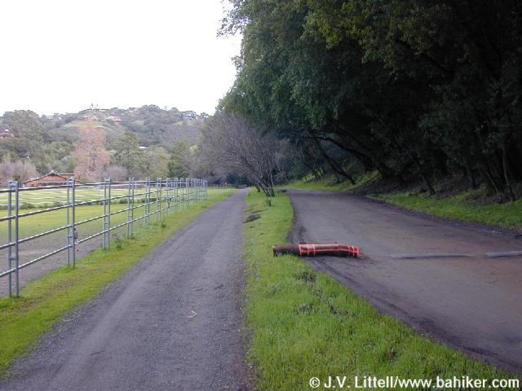 Returning along the farm road |
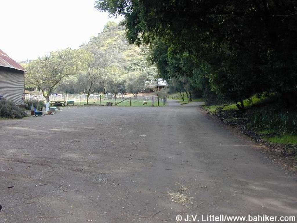
 Returning to the trailhead |
Go to Bay Area Hiker Hidden Villa page Go to Bay Area Hiker Home page |
||||