| Photos
from a March 2000 hike at Las Trampas Regional Wilderness (click on any image for a larger view) |
|||||||
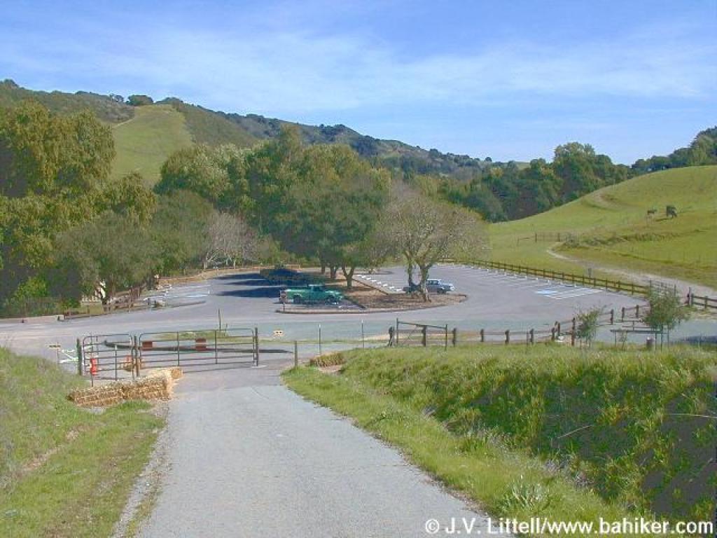
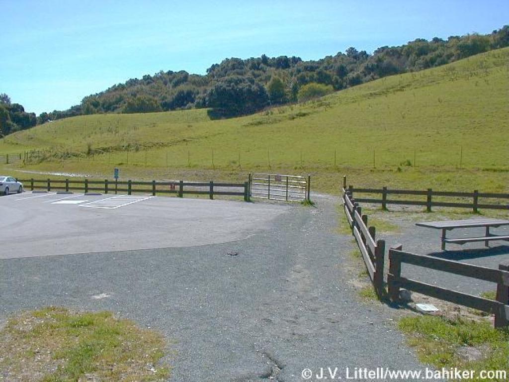 At the edge of the parking lot |
 Crossing through a cattle gate |
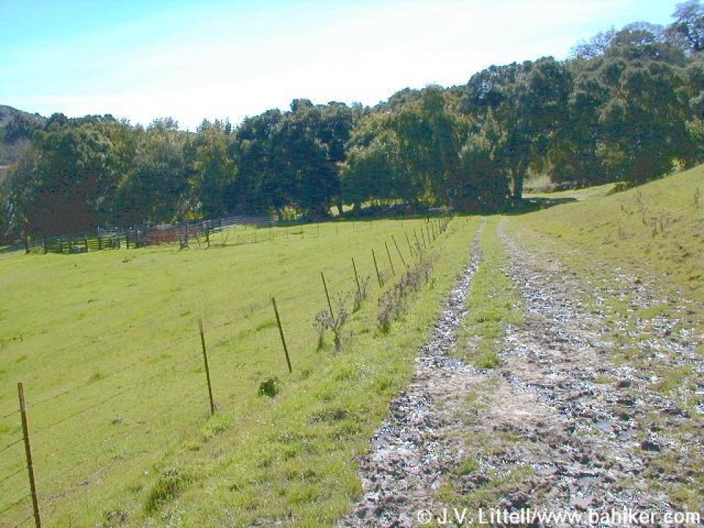
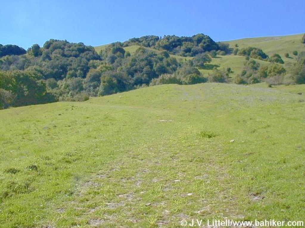
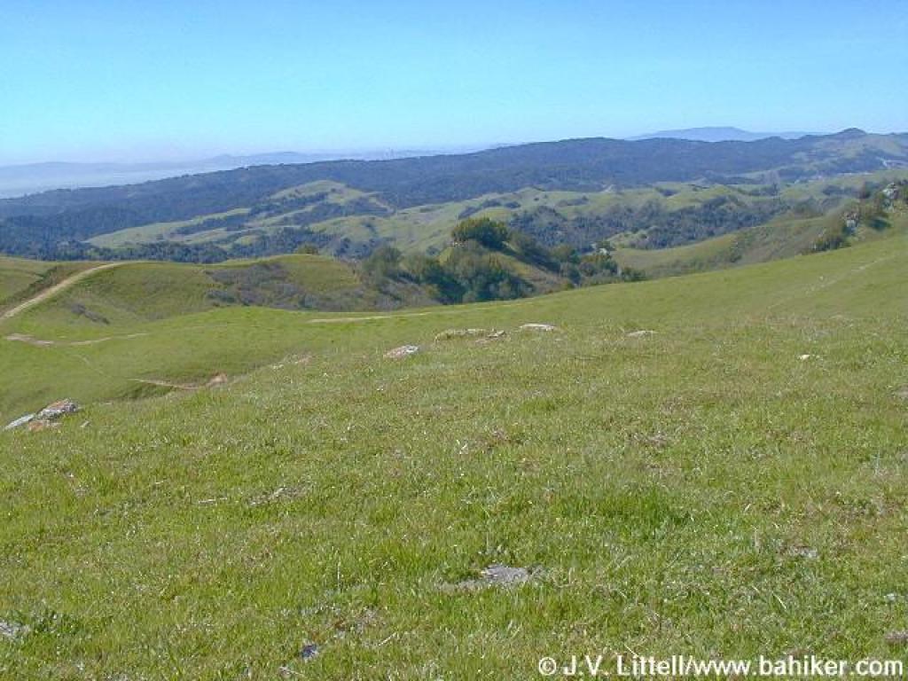
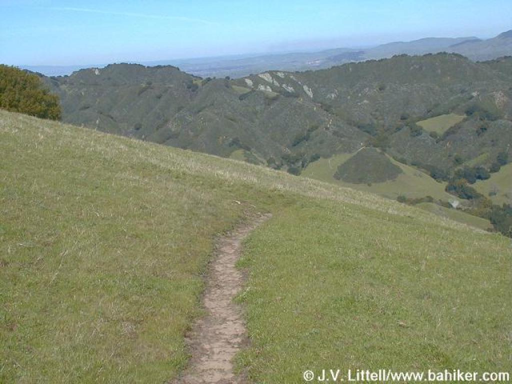
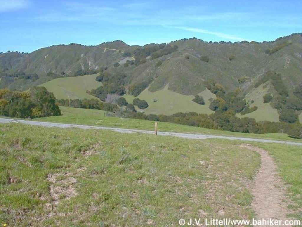
 Across the valley |
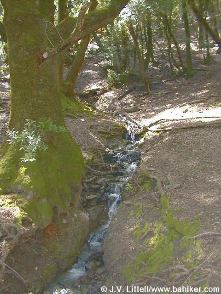
 One of many damp creek crossings in the winter and spring |
||||
 Near the Corral Camp |
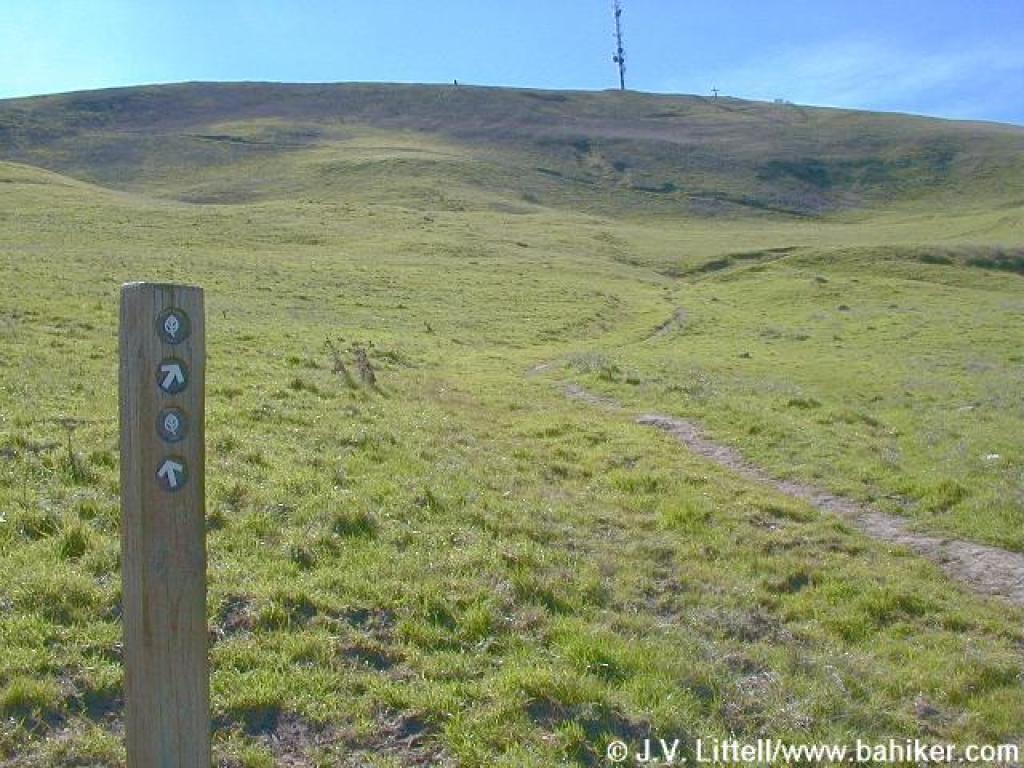
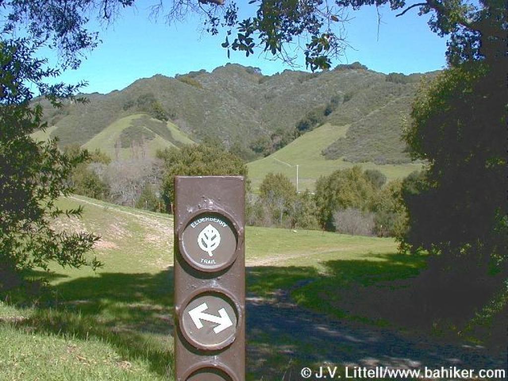 Junction, just before Elderberry Trail heads uphill |
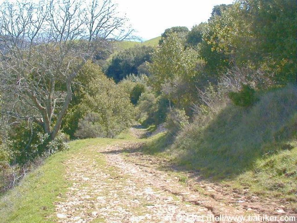
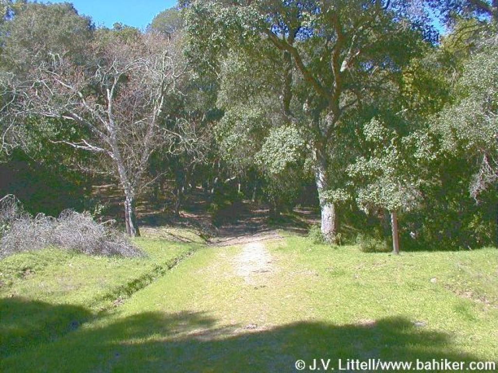 Uphill along the creek |
 Climbing... |
||||
 Trails splits around a soggy spot |
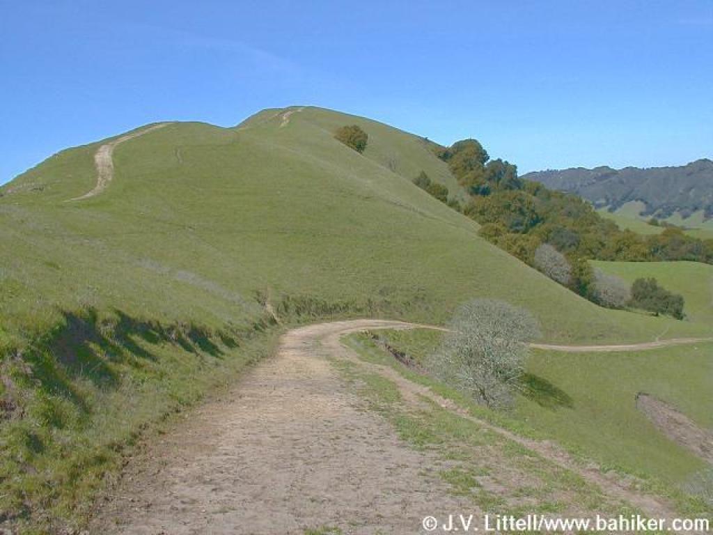
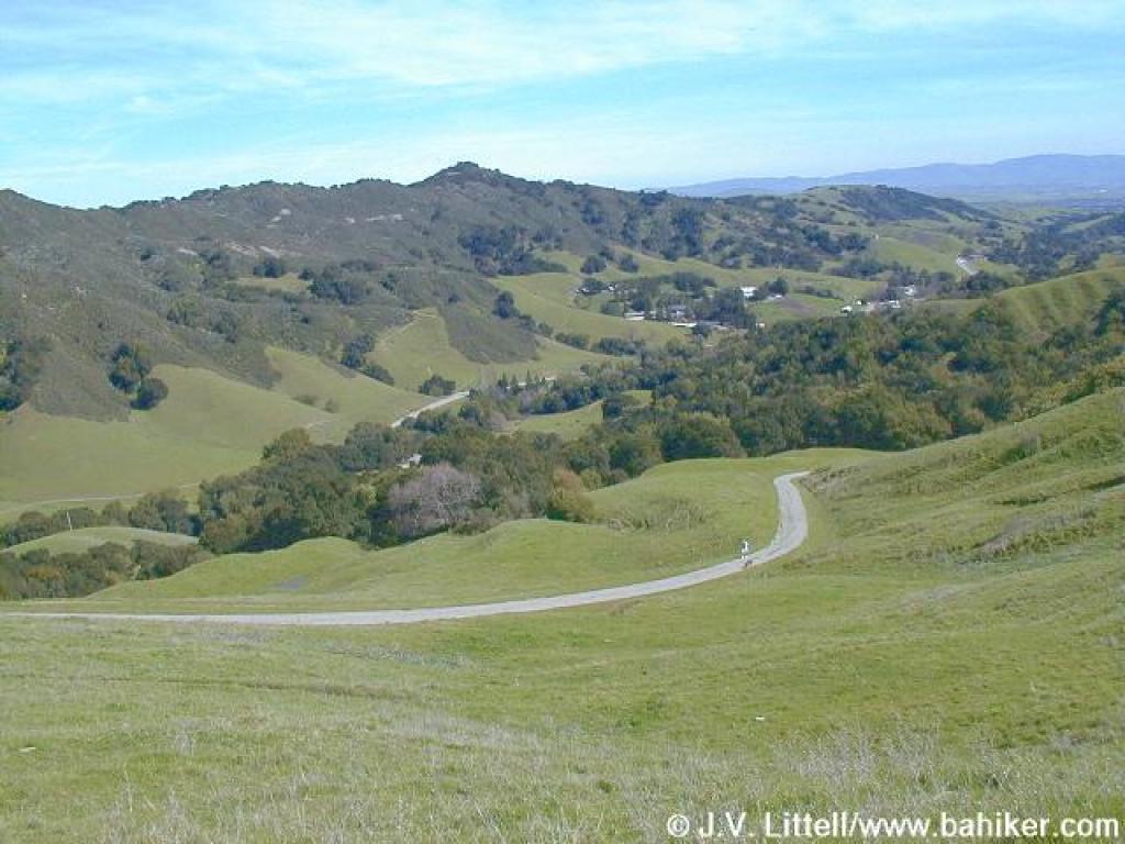
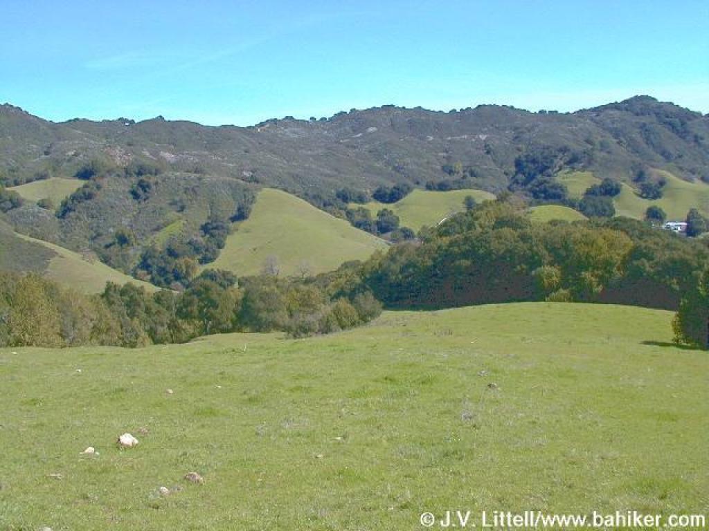 Looking to the ridge across the valley |
 Looking uphill |
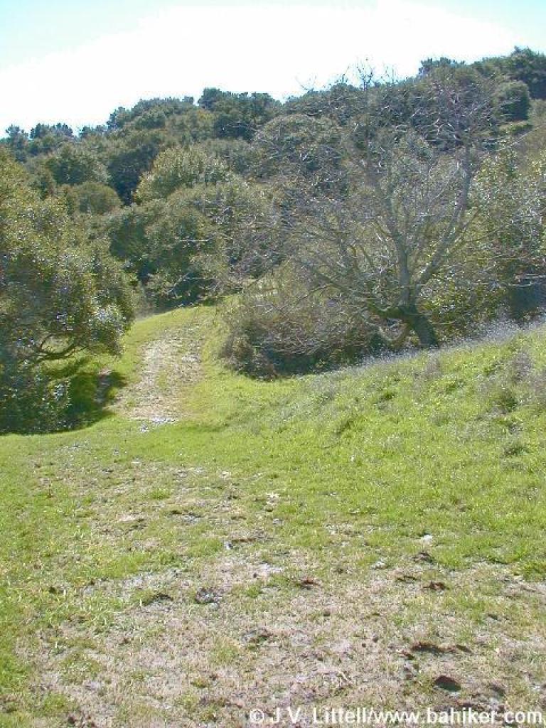
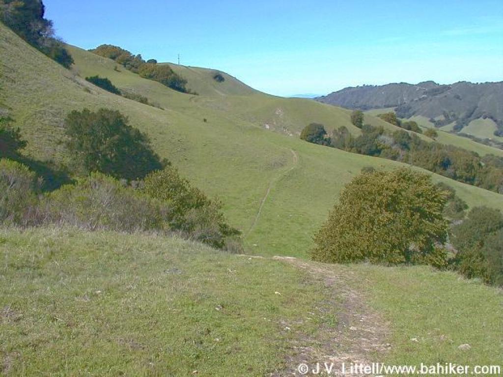
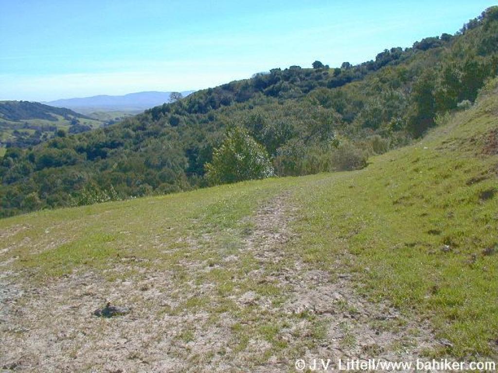 Heading south |
||||
 Looking back |
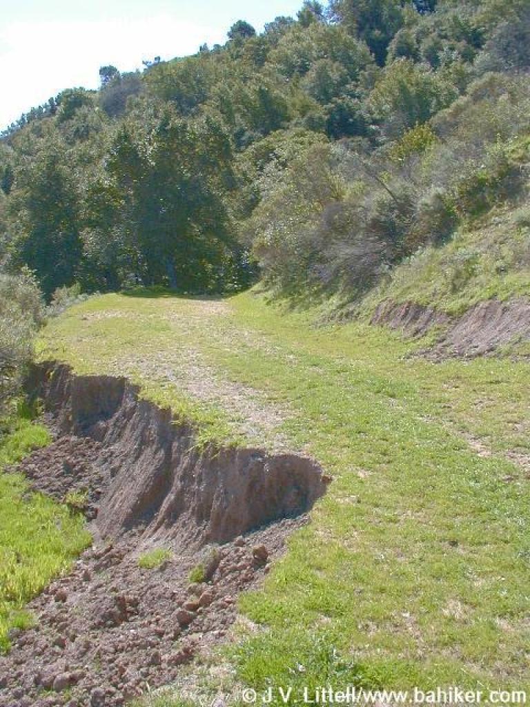 Landslide |
 Muddy stretch |
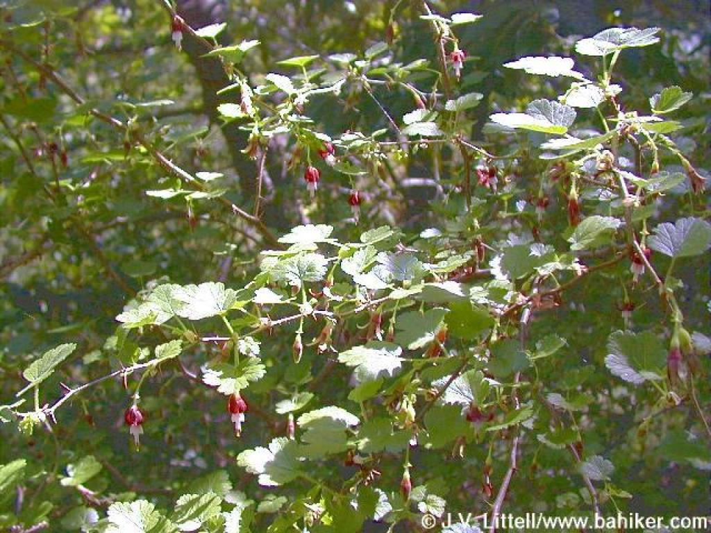 Gooseberry flowers |
||||
 Just before a creek |
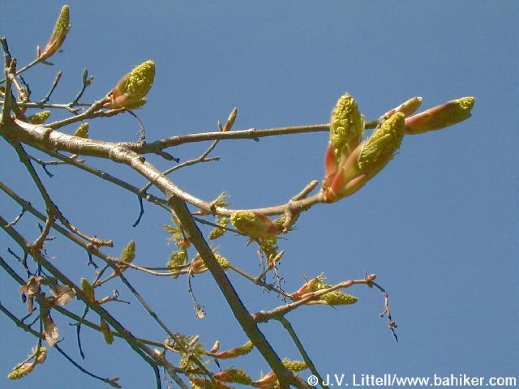 Maple buds |
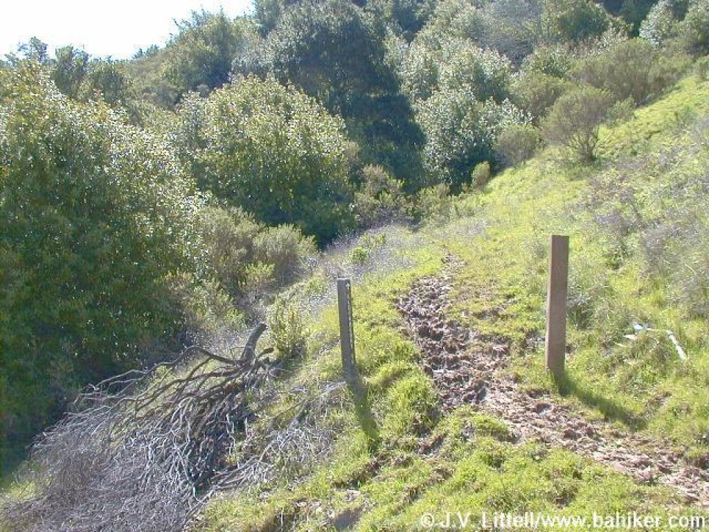
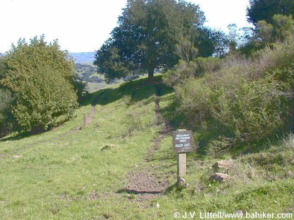
 A closed spur |
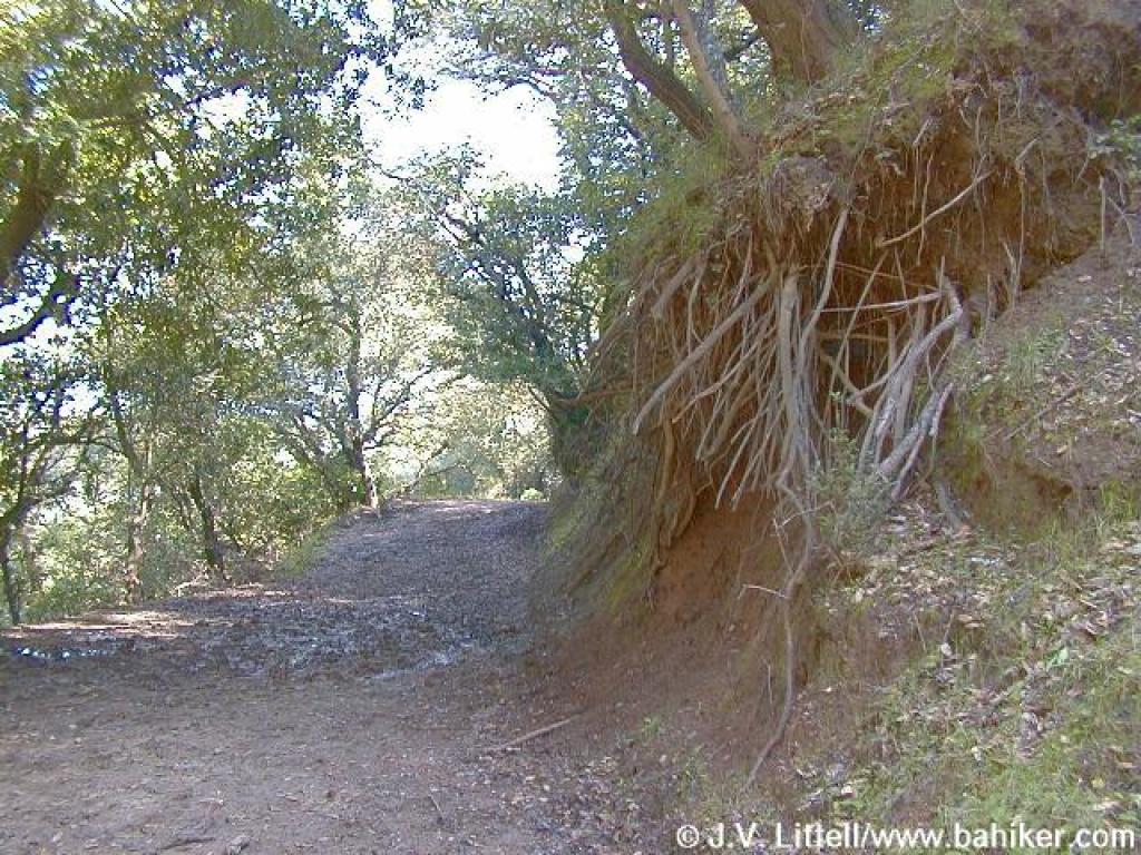 Eroded hillside |
||||
 South |
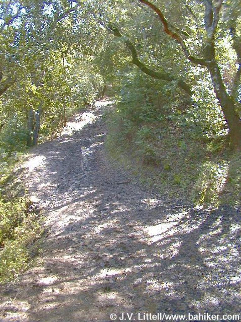
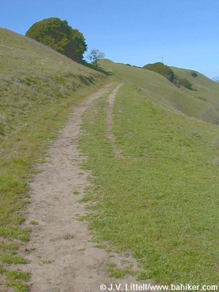
 Elderberry Trail |
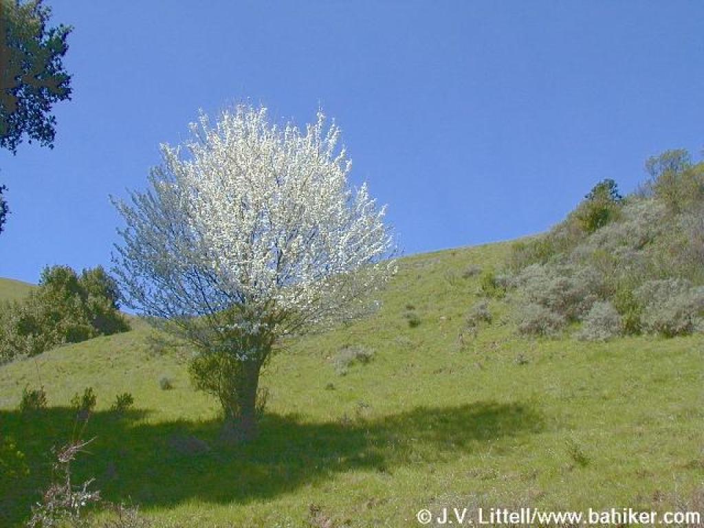 A flowering fruit tree |
 A disheartening downhill |
||||
 Another "closed" side trail |
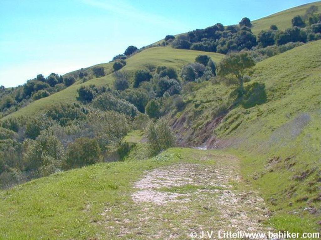
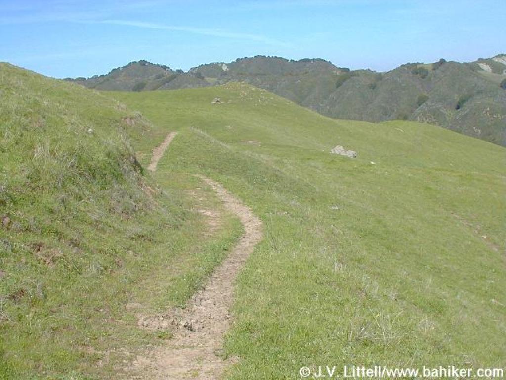
 Unusual flat stretch |
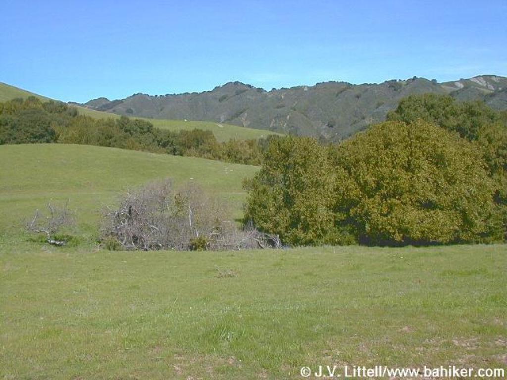
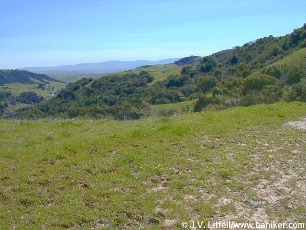
 Chaparral covered hills to the west |
 California bay grove |
||||
 Waterfall |
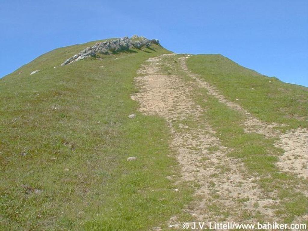
 The final push to the ridge |
 Looking back, and ahead |
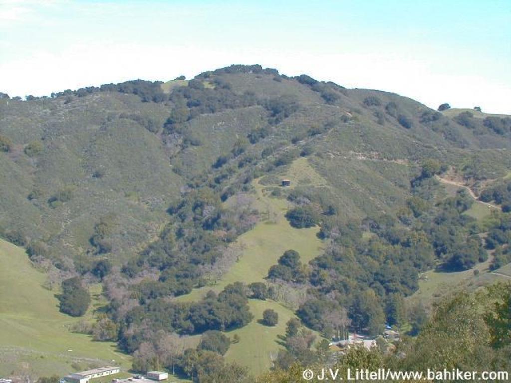
 Mount Diablo behind the west ridge |
||||
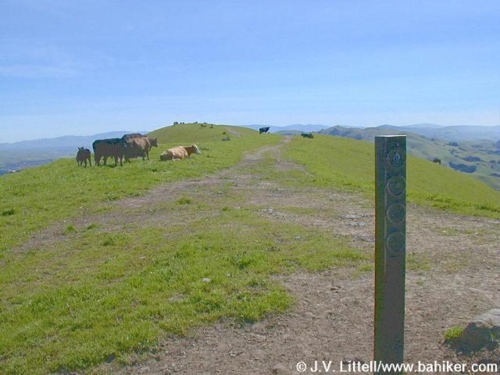 Cows guarding the path to the belvedere |
 More climbing! |
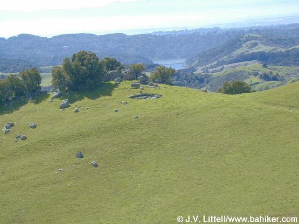
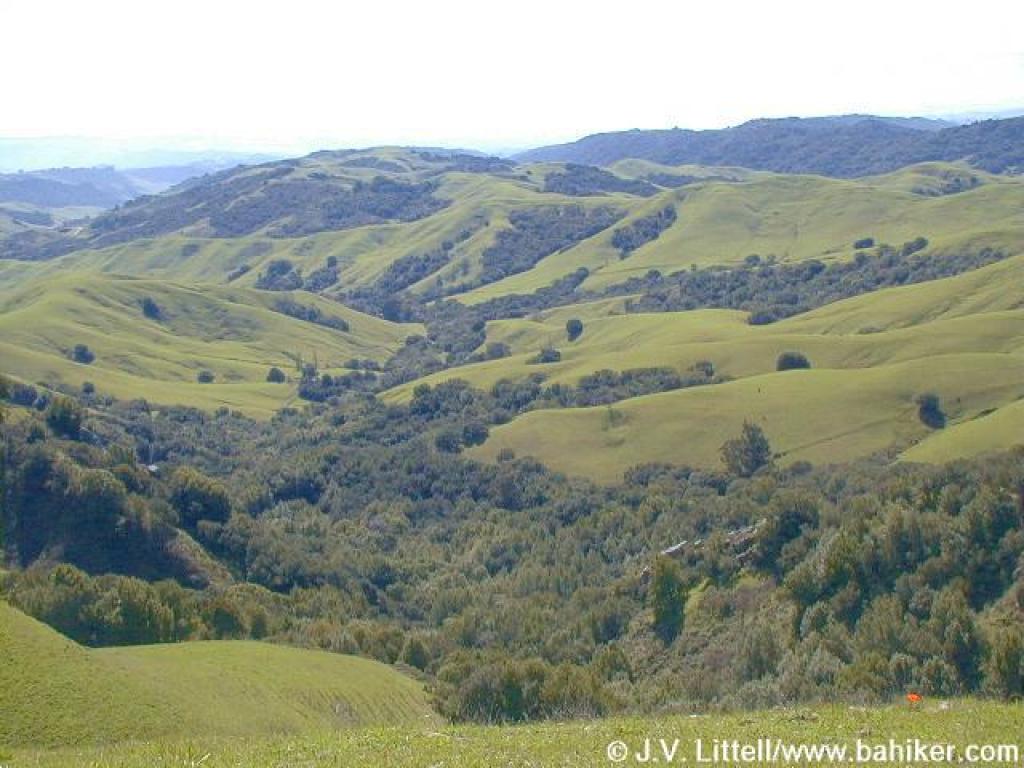 East Bay M.U.D. land to the east |
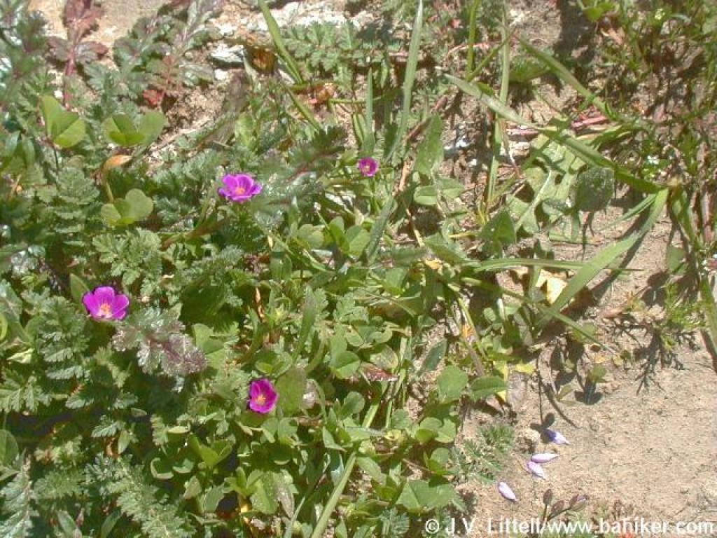 Redmaids |
||||
 Upper Trail |
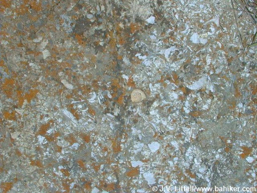 Shells embedded in the rock |
 Looking back along the ridge |
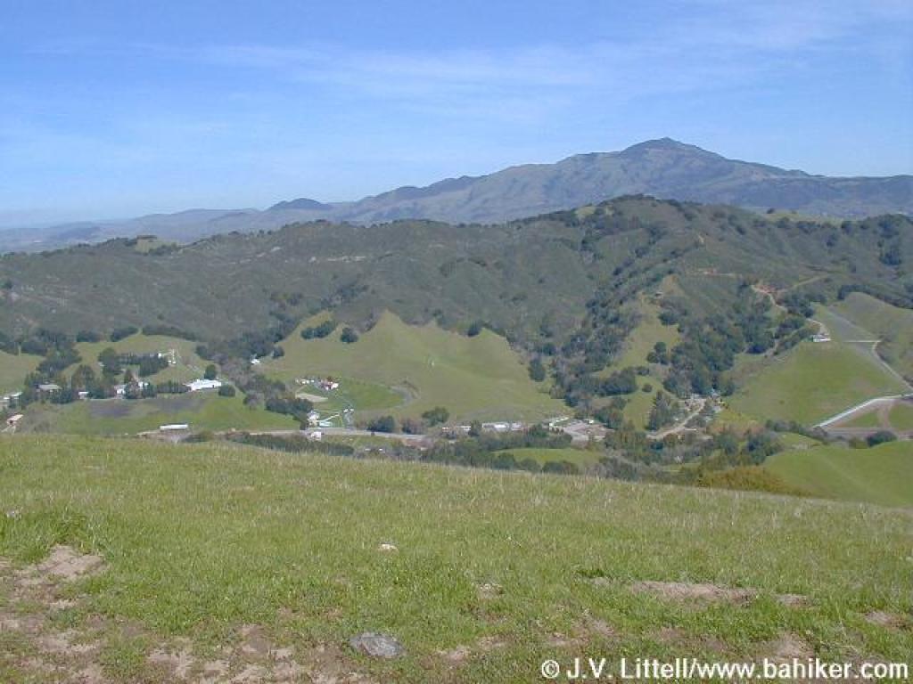 Mount Diablo |
||||
 East, with a portion of the Devil's Hole Trail visible |
 Looking toward Devil's Hole |
 Junction with Devil's Hole Trail |
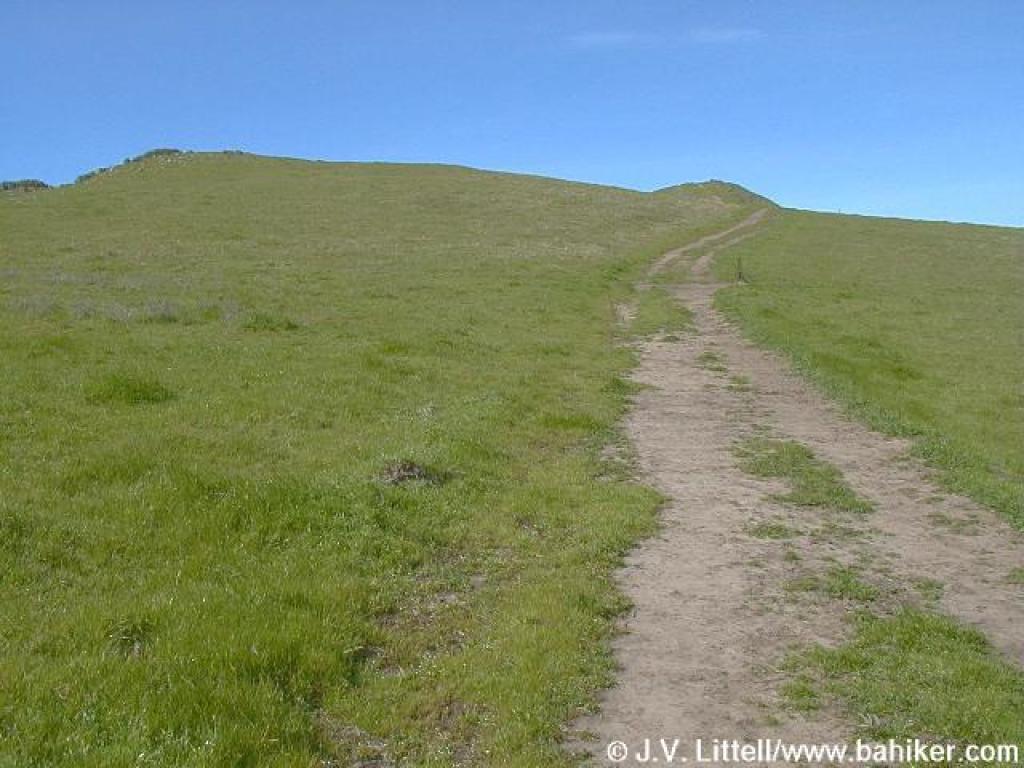
 Upper Trail |
||||
 Junction with Cuesta Trail |
 Cuesta Trail |
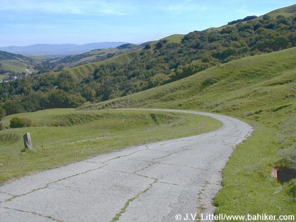
 Heading downhill |
 Across the hillside |
||||
 Other end of closed spur |
 A climb |
 Looking ahead to the north |
 Trail, with west ridge in the distance |
||||
 Cow and trail |
 Junction with Rocky Ridge Trail and Road |
 Looking downhill |
 Junction |
||||
 Pounding the pavement on Rocky Ridge Road |
 Returning to the trailhead |
Go to Bay Area Hiker Las Trampas page Go to Bay Area Hiker Home Page |
|||||