| Photos
from a June 2001 hike at Little Mountain and Verissimo Hills (click on any image for a larger view) |
|||||||
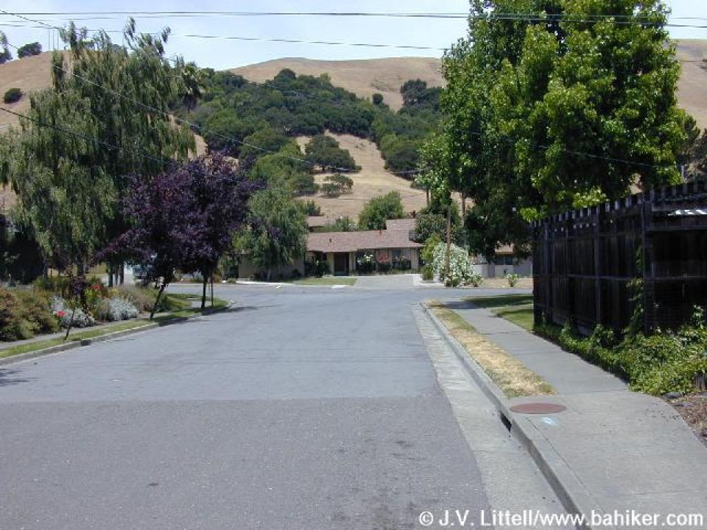
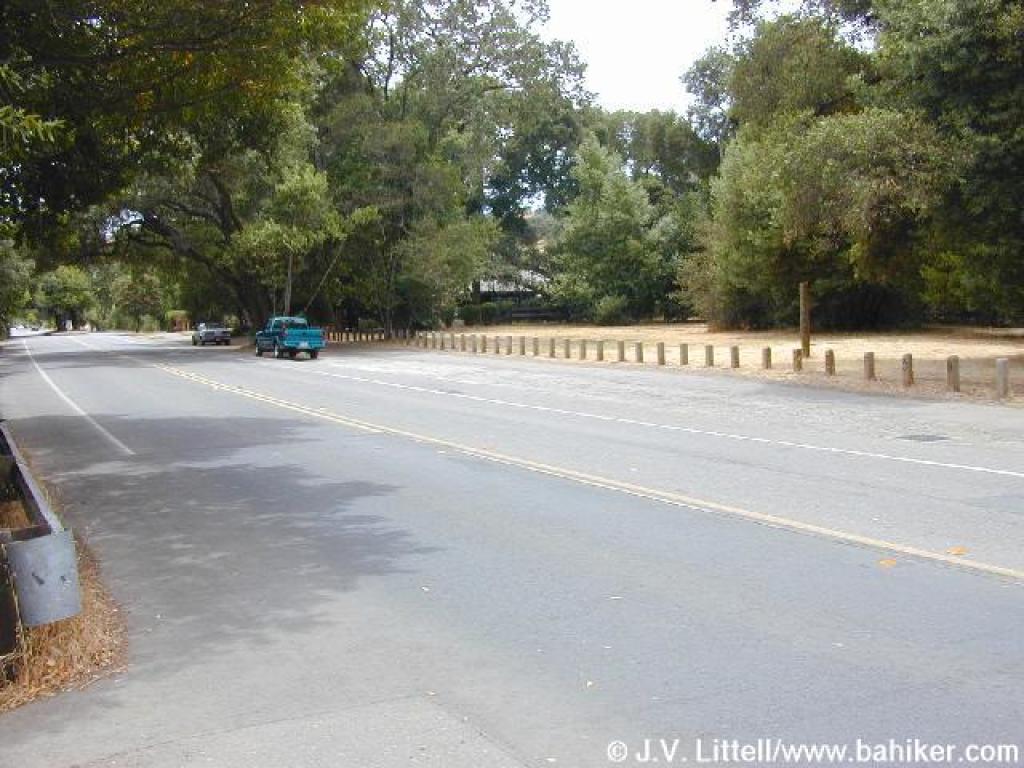 Roadside parking near O'Hair Park |
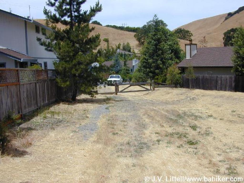
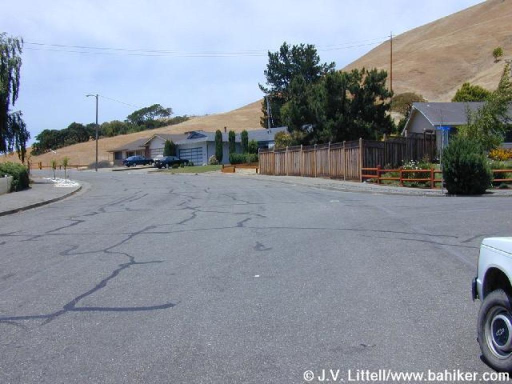
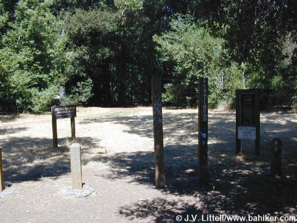 O'Hair Park entrance |
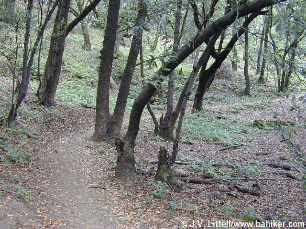
 Reuben Kaehler Memorial Trail |
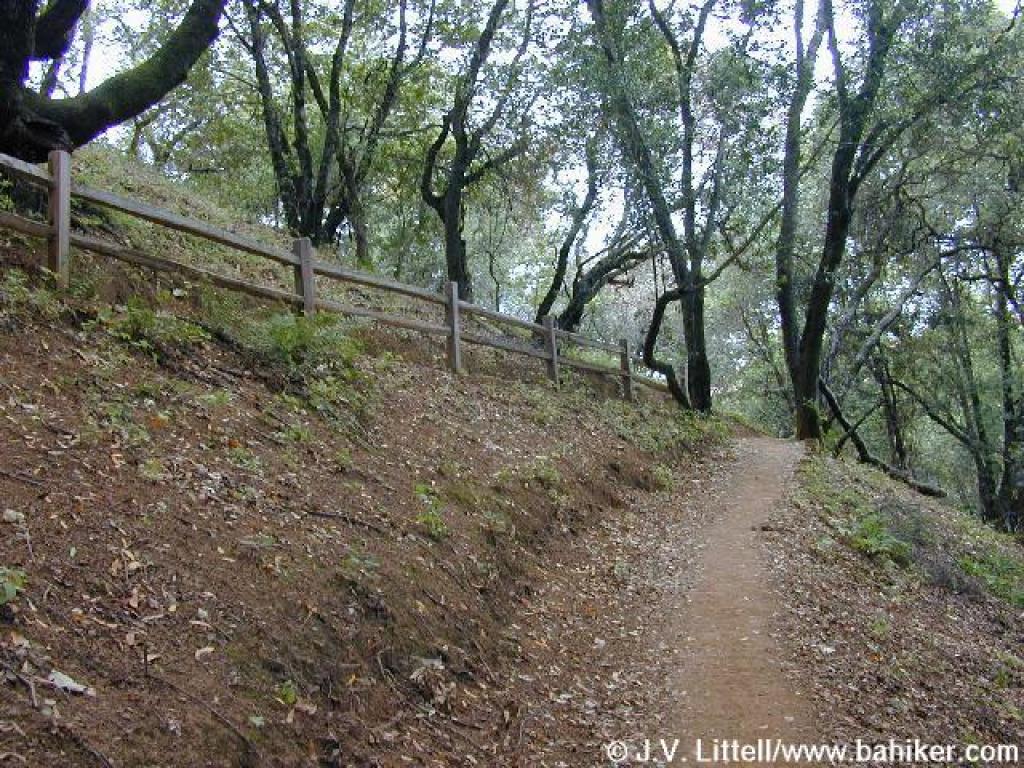
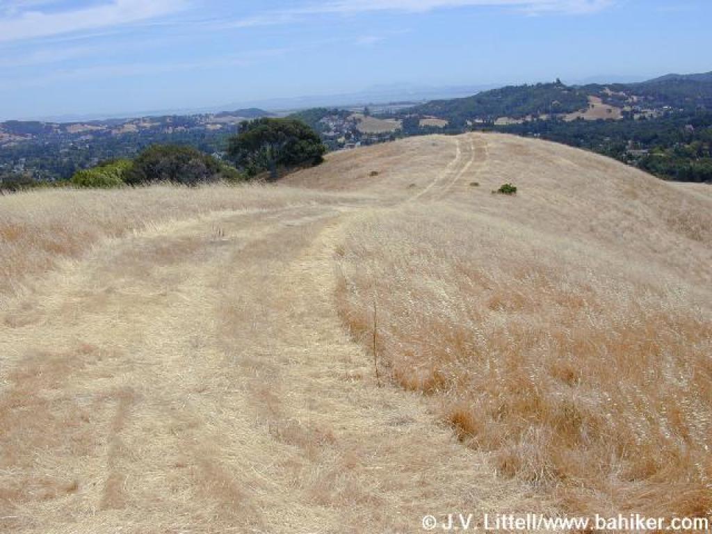
 Approaching junction |
||||
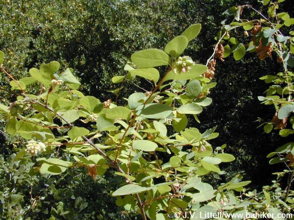 Snowberry |
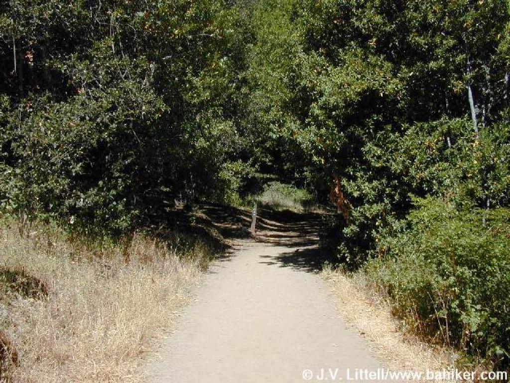
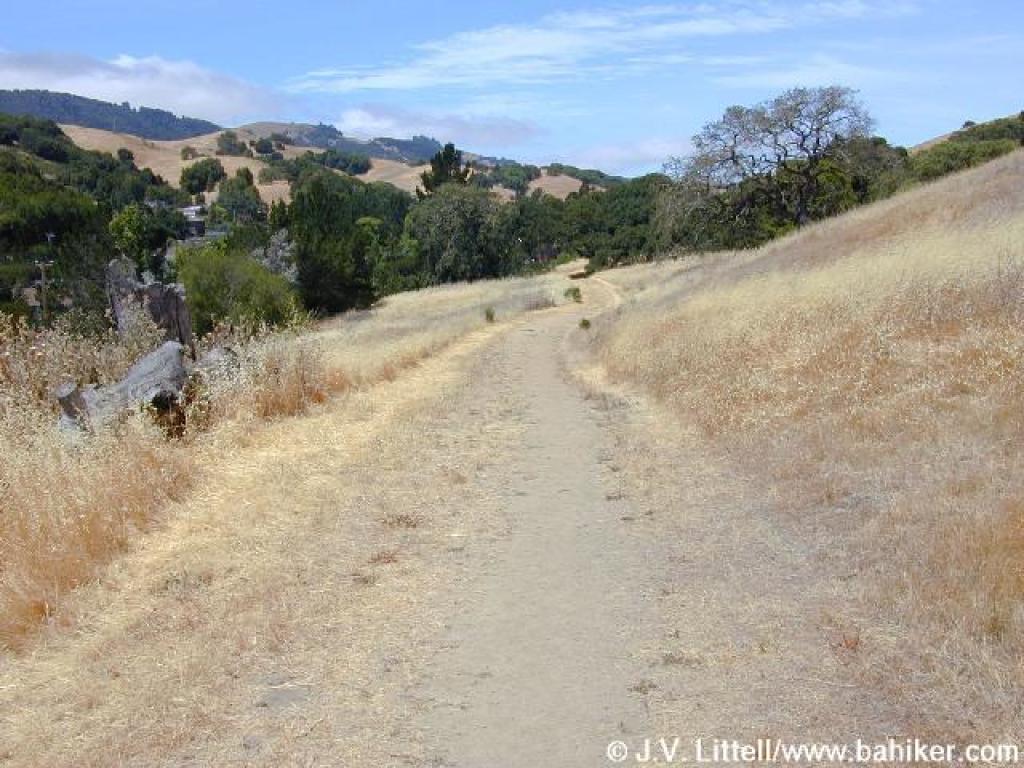
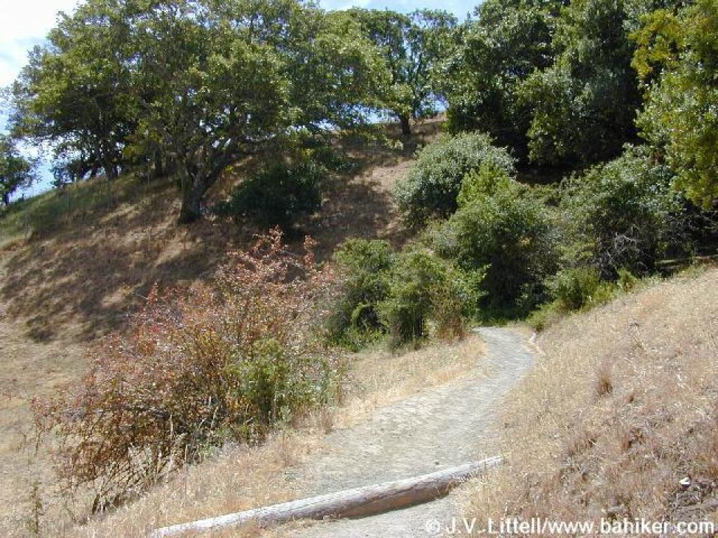
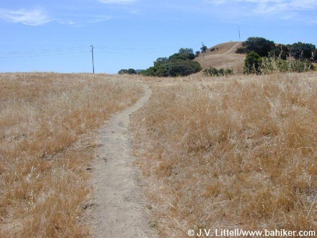
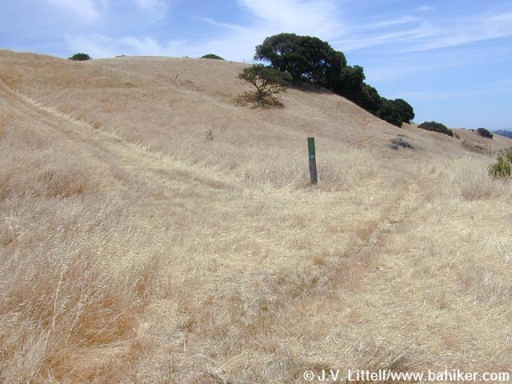
 Little Mountain Trail |
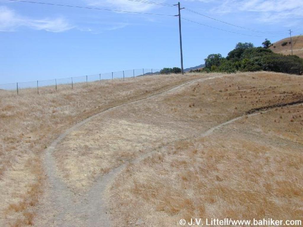
 Fences protect switchback |
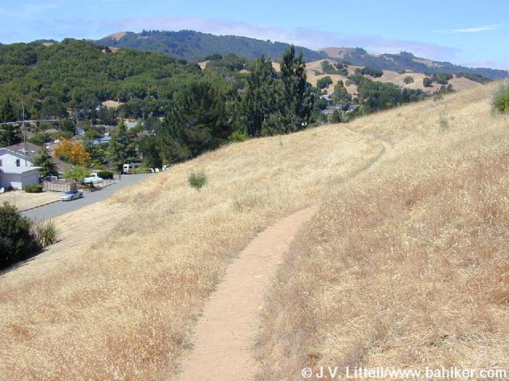
 Into grassland |
||||
 View west |
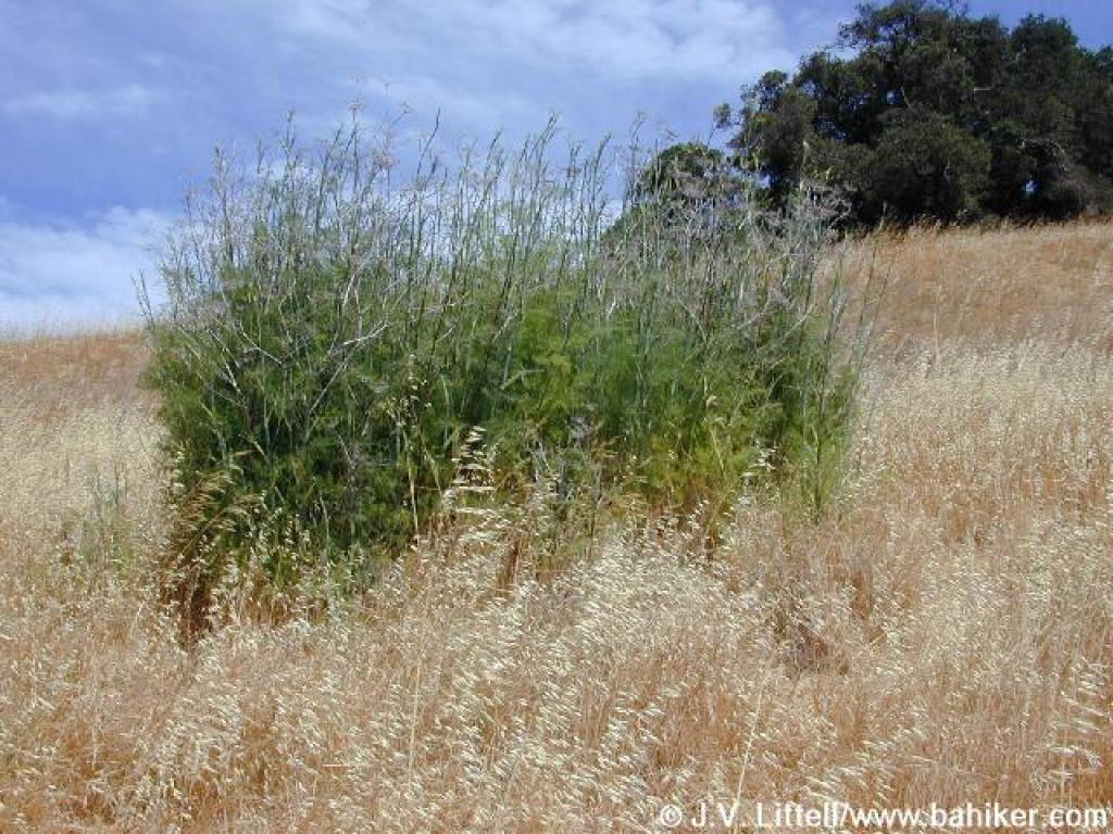 Fennel on the side of the trail |
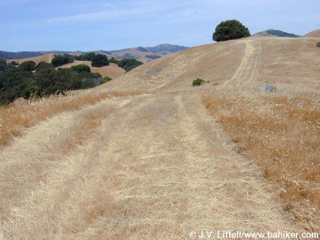
 Little Mountain Trail |
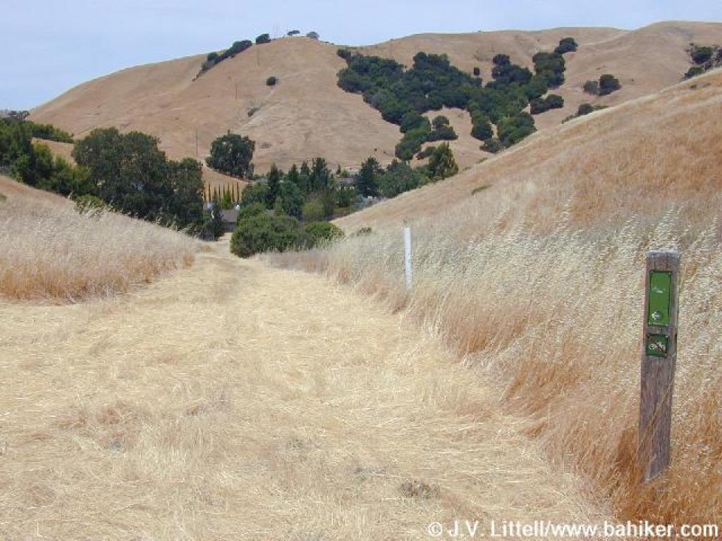
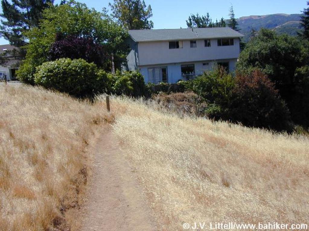 Trail curves away from a neighborhood access point |
||||
 Junction |
 Doe Hill Fire Road |
 Junction |
 Path connection to Verissimo Hills |
||||
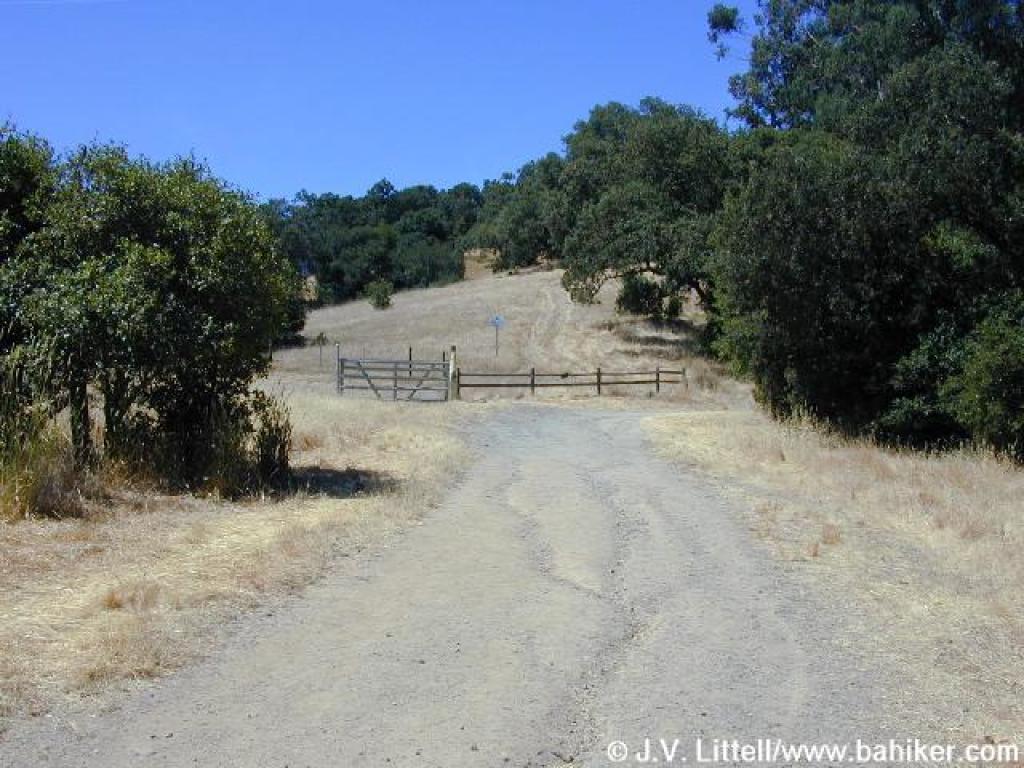
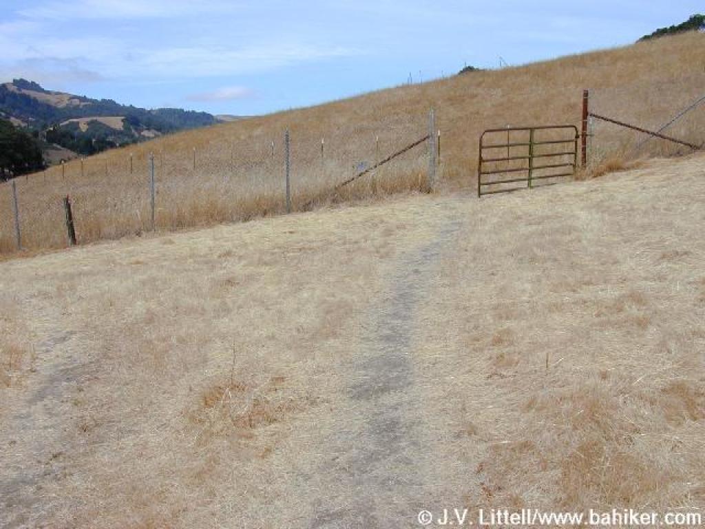
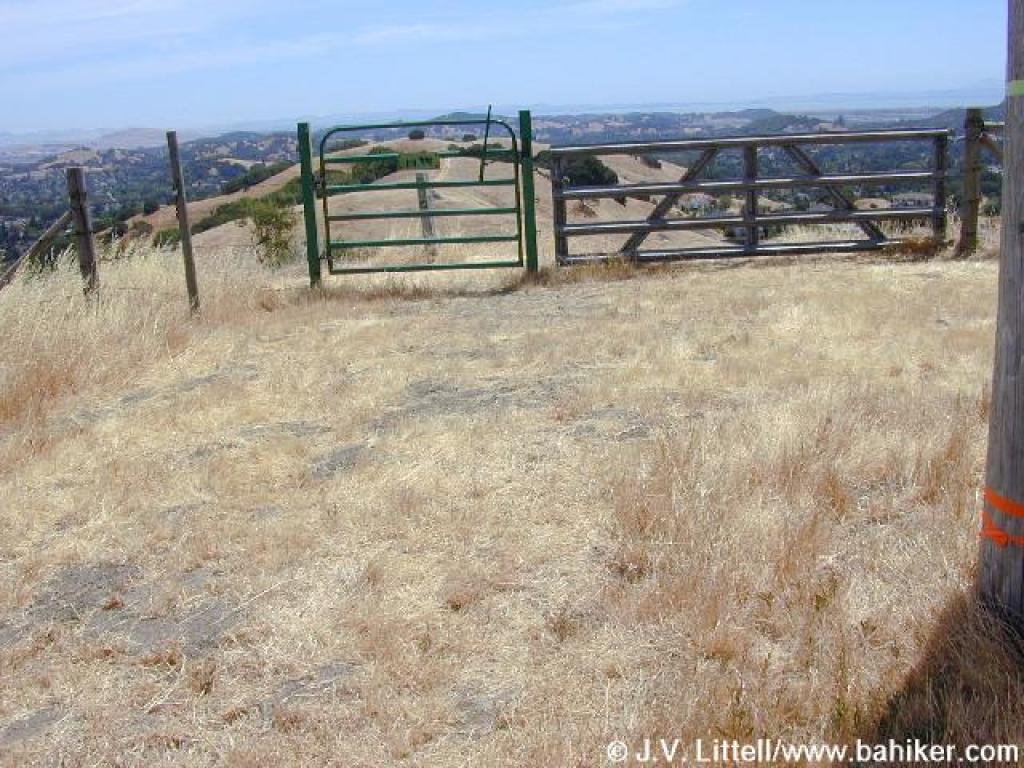
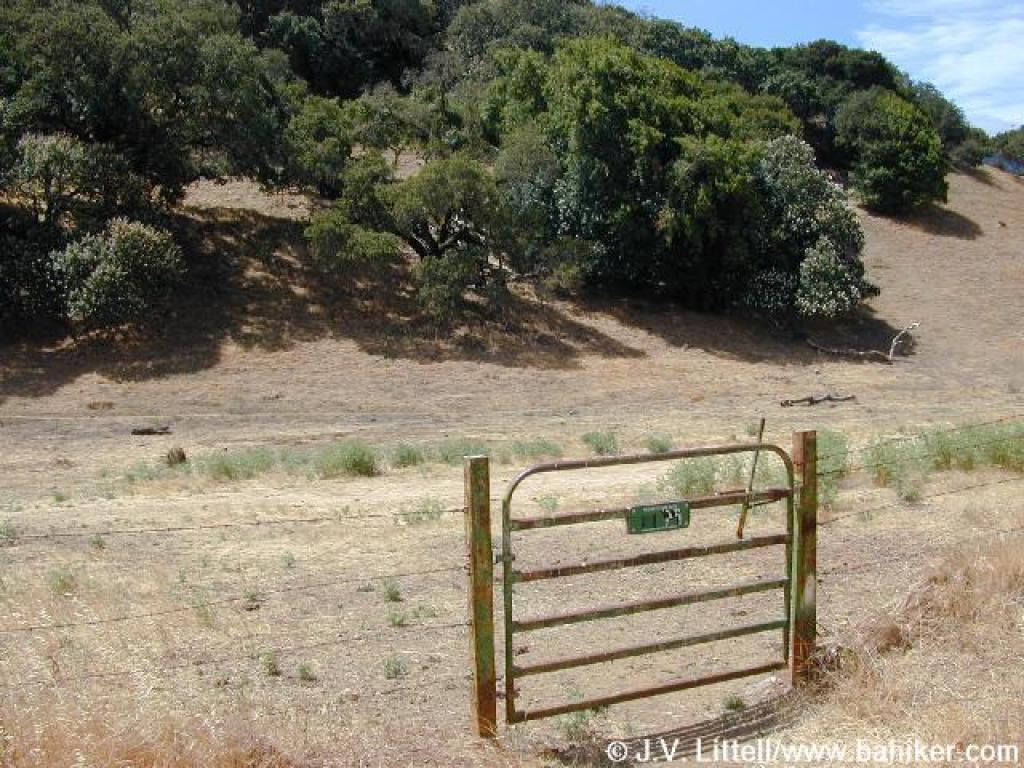 Cattle gate |
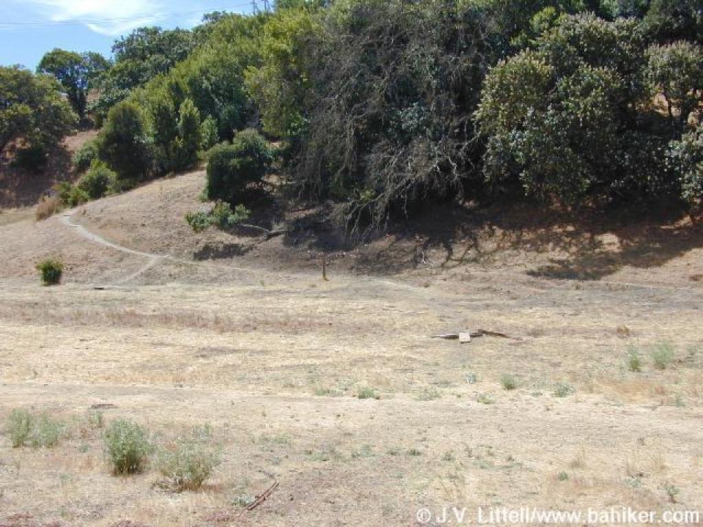 Cross this blank area and head for the visible trail |
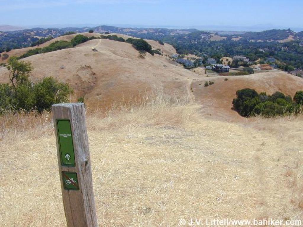
 Stafford Lake Trail |
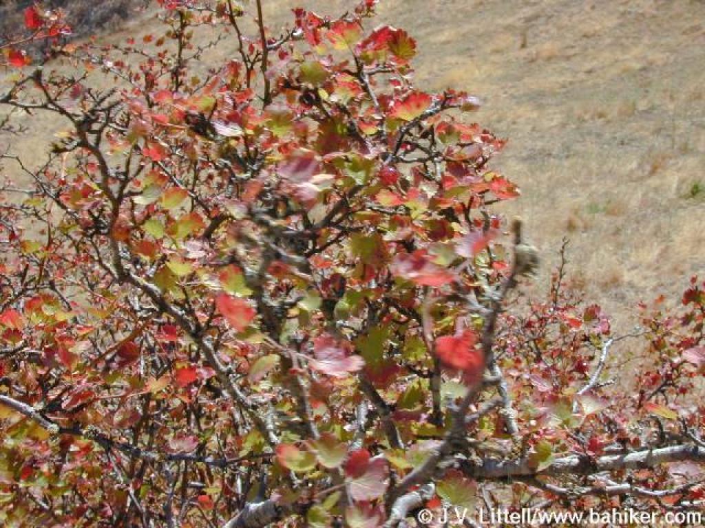 Gooseberry |
||||
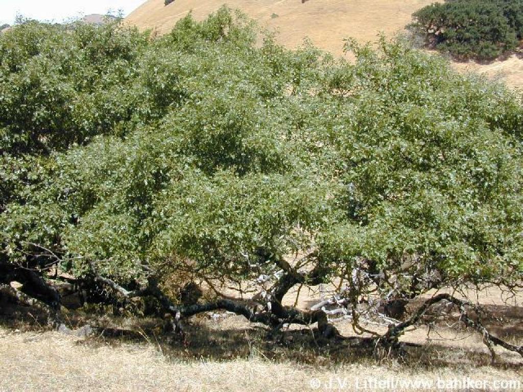 Black Oak |
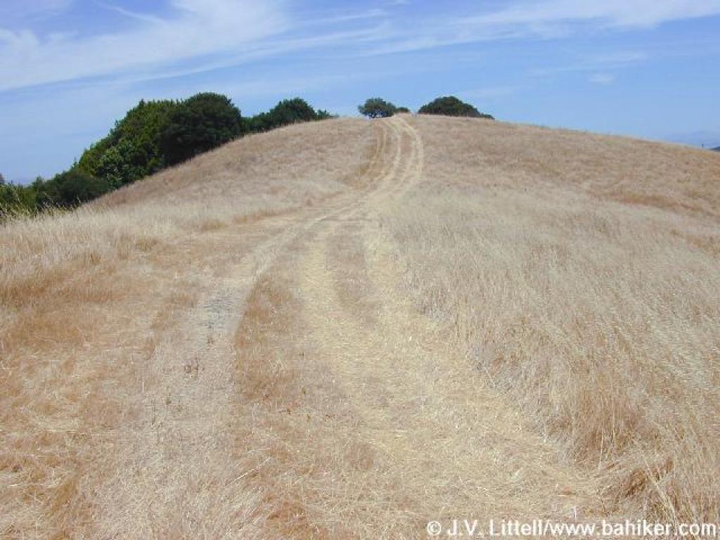
 Stafford Lake Trail |
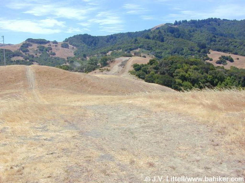
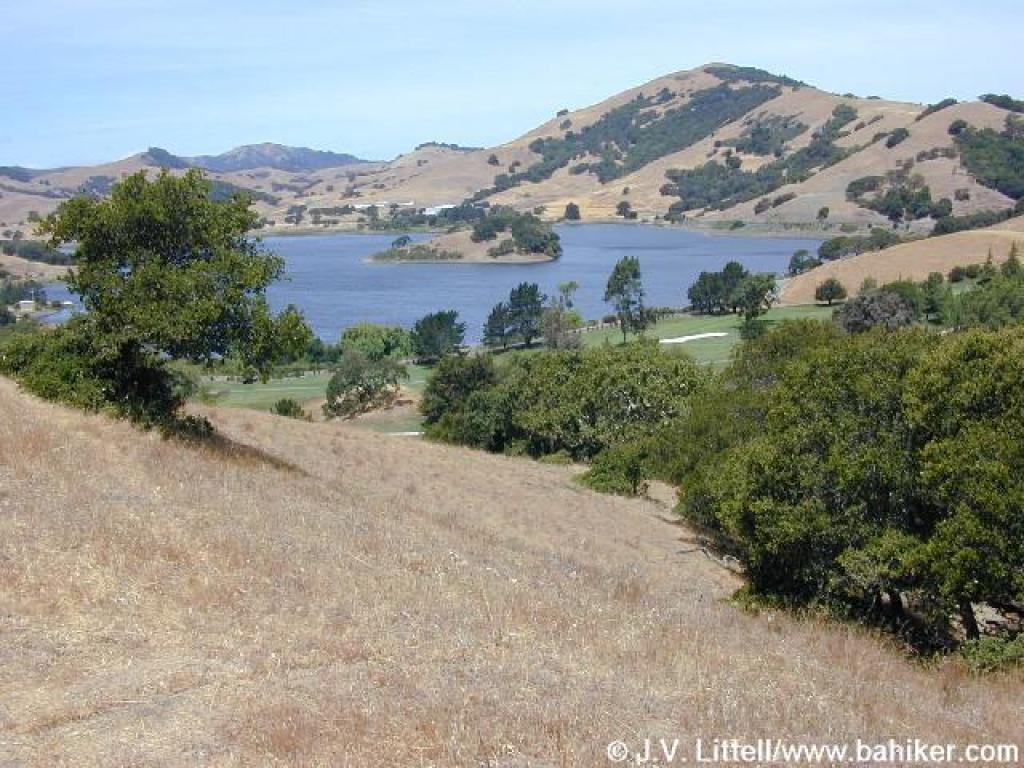 View to Stafford Lake |
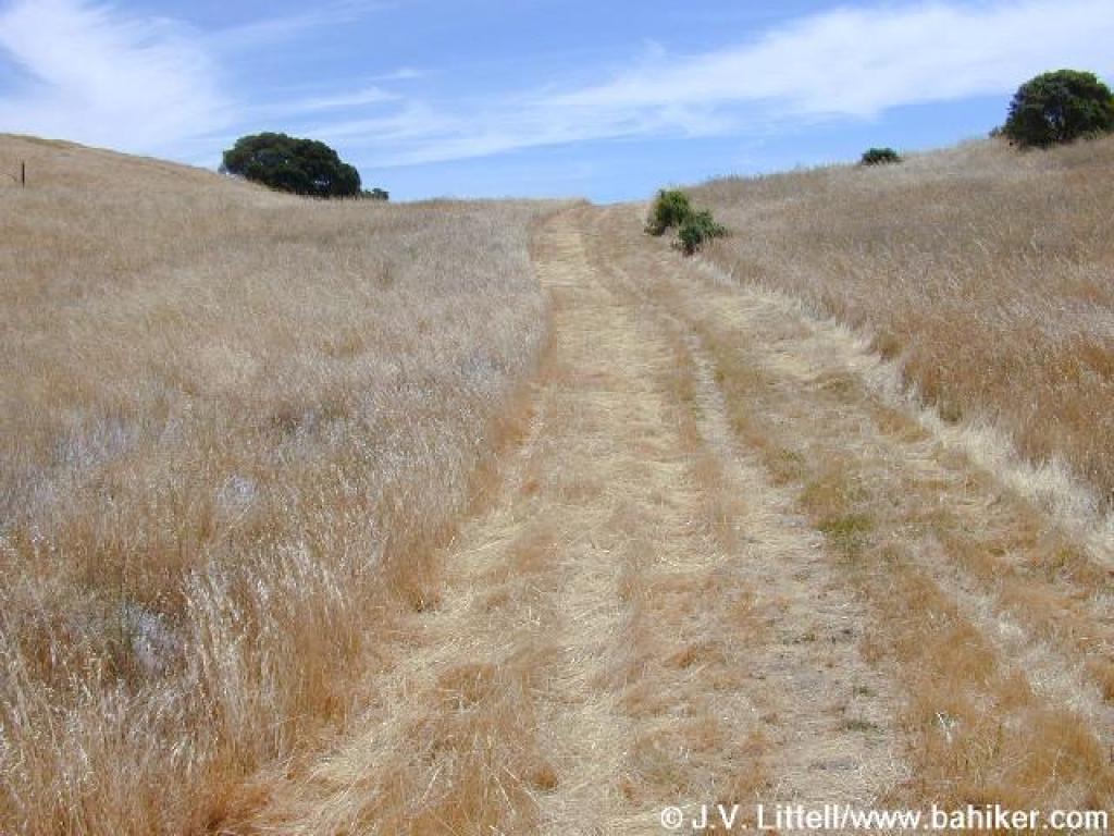
 Through grassland |
||||
 Split; stay left |
 Junction and gate |
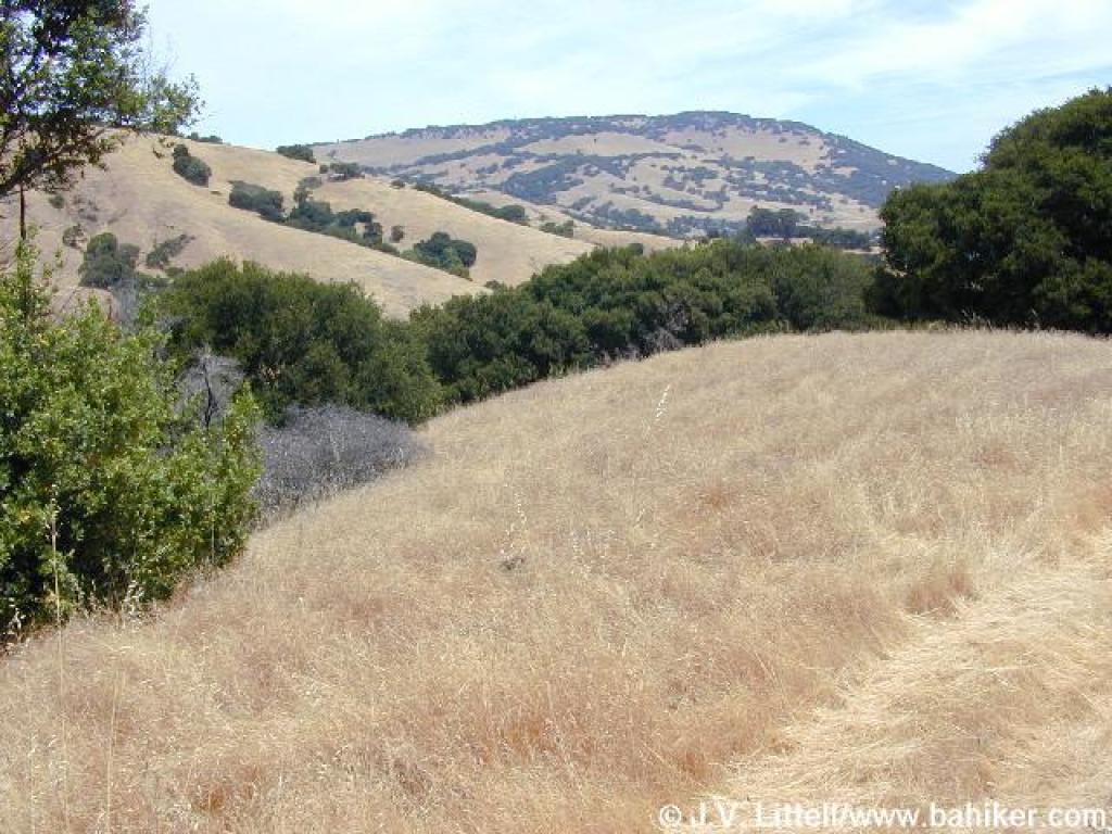
 View south |
 Verissimo Hills Trail |
||||
 Mother deer and two babies (only one partially visible in the tall grass) |
 Climbing |
 Junction |
 Climbing some more |
||||
 View north to Mount Burdell |
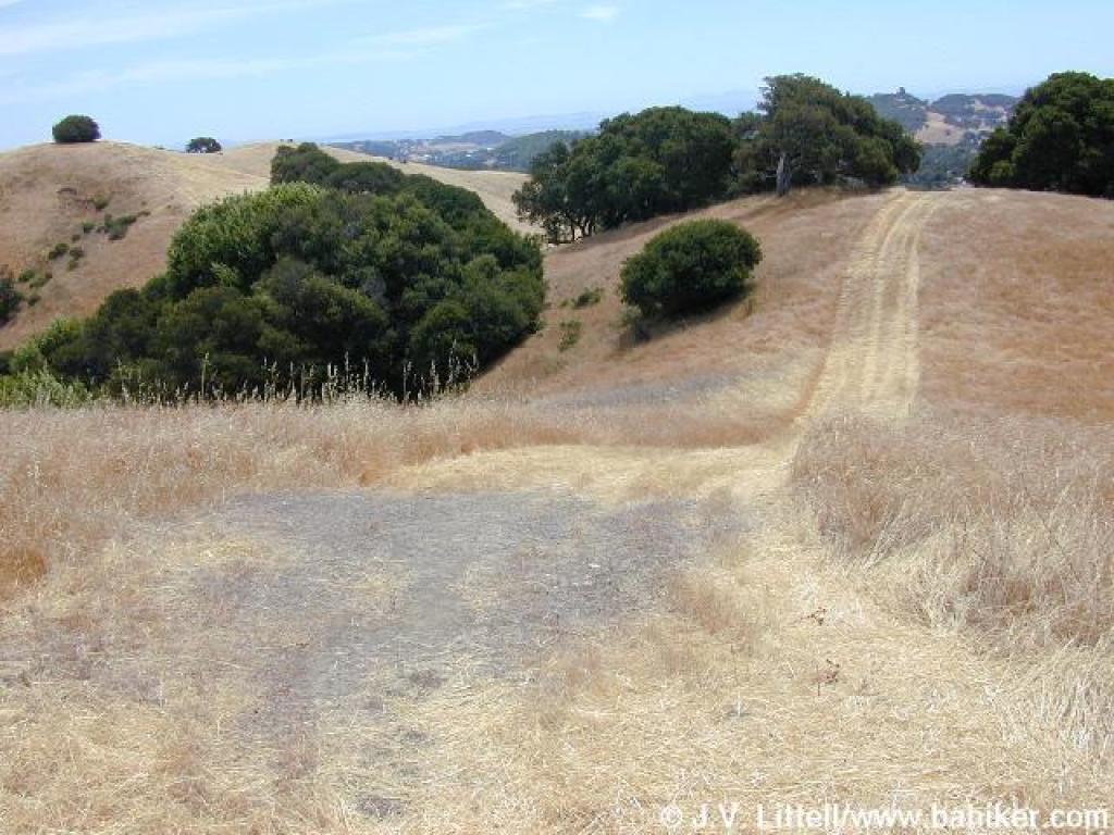 Verissimo Hills Trail |
 Steep descent and ascent |
 View east near the turnaround point |
||||
 Returning on Verissimo Hills Trail |
 Sanchez Fire Road |
 End of the fire road |
 Sanchez Way |
||||
 Center Road |
 At the end of Center Road, take the connector trail right to Doe Hill Fire Road |
Go to Bay Area Hiker Little Mountain, Verissimo Hills page Go to Bay Area Hiker Home page |
|||||