| Photos
from a November 2001 hike at Marshall Beach, Point Reyes (click on any image for a larger view) |
|||||||
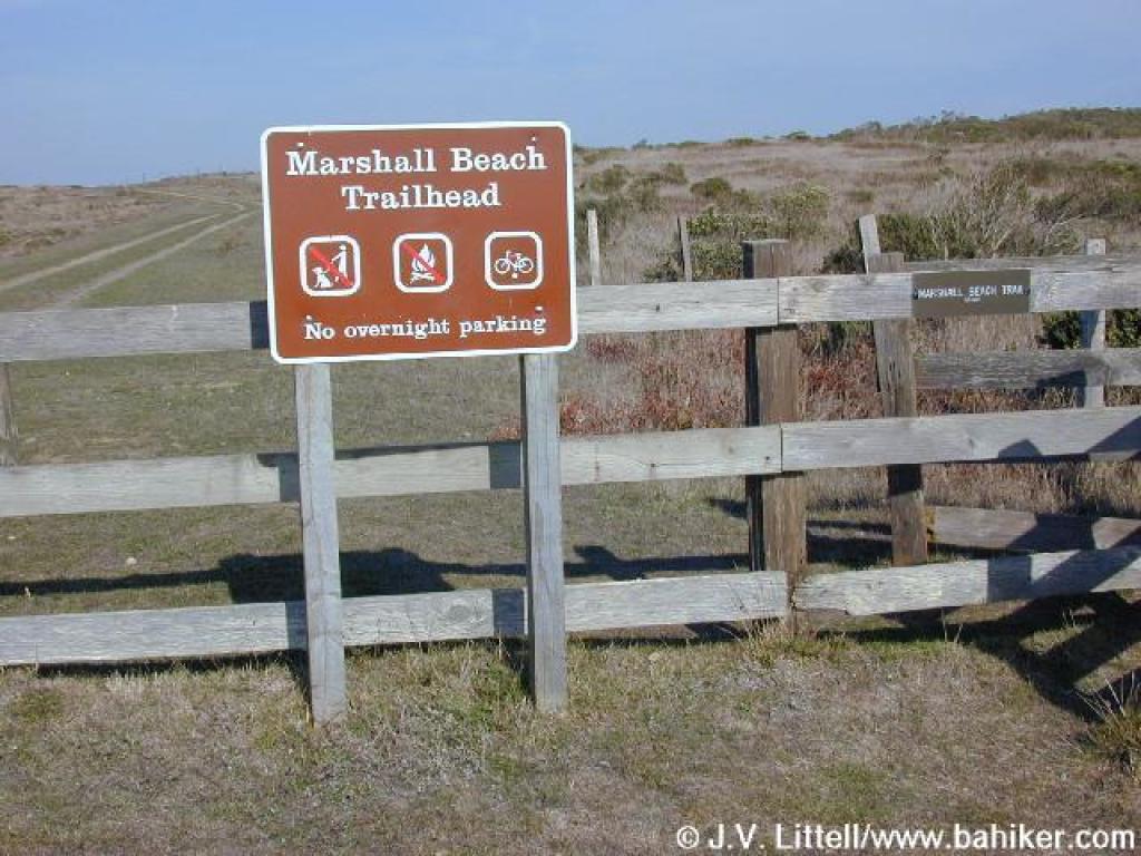
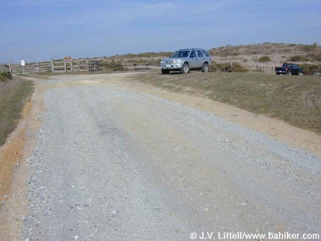 Trailhead |
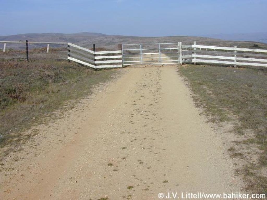
 Gate and beginning of the trail |
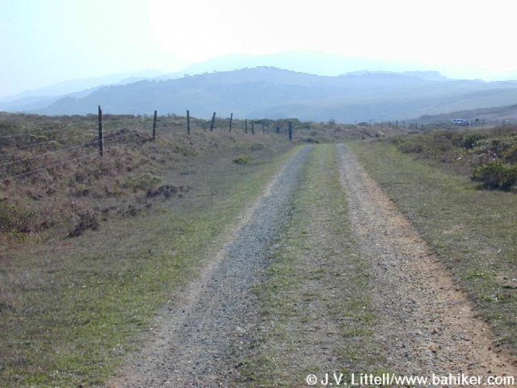
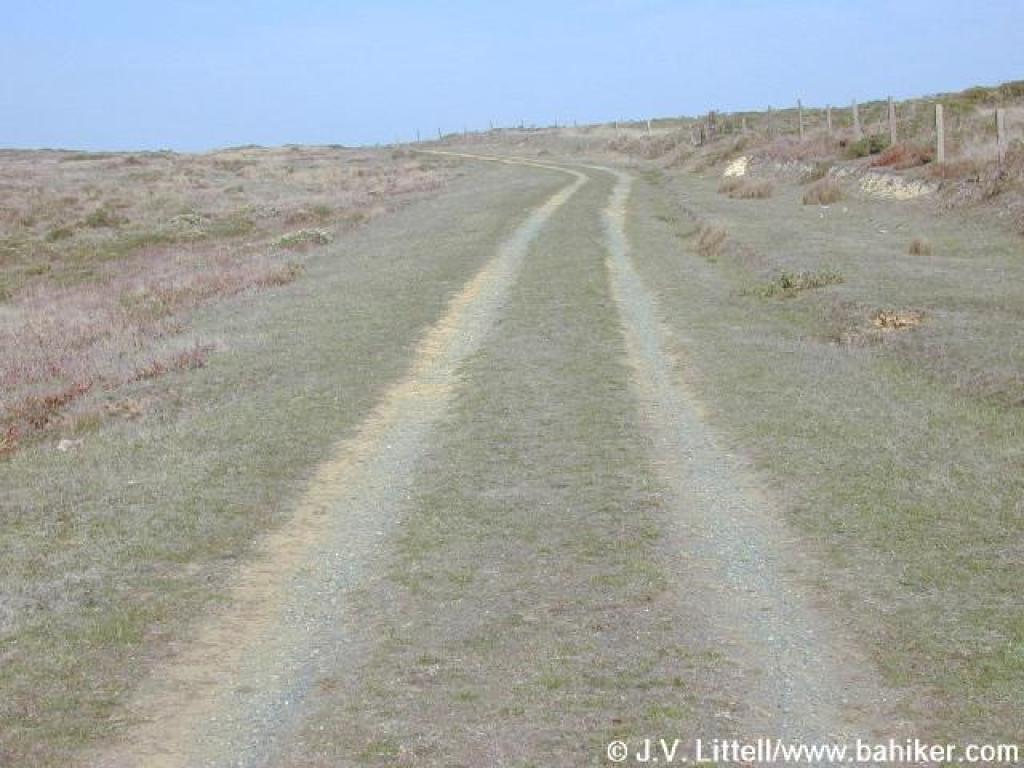 Trail through cattle country |
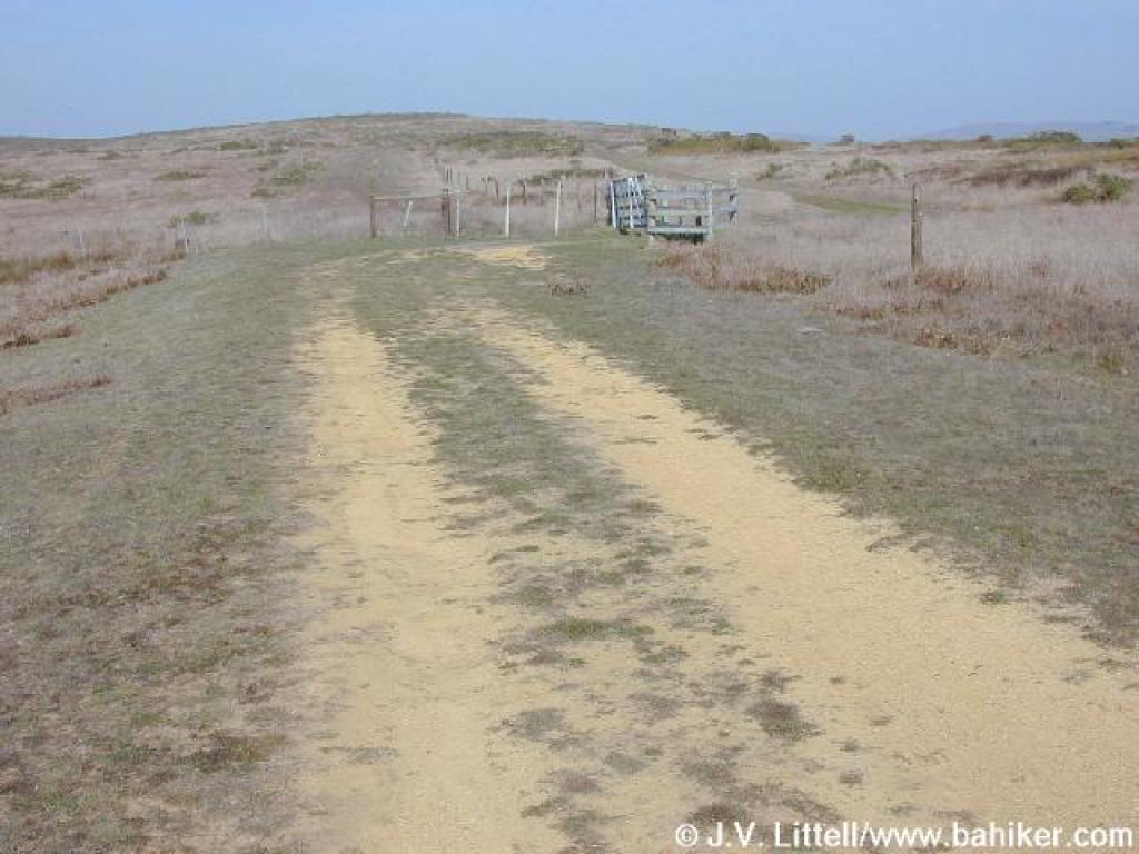
 Gate |
||||
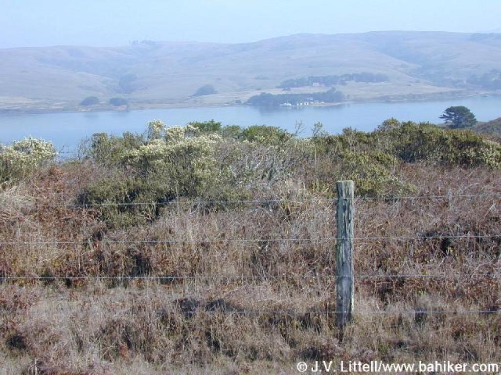 View across the bay |
 Another gate |
 Descent begins |
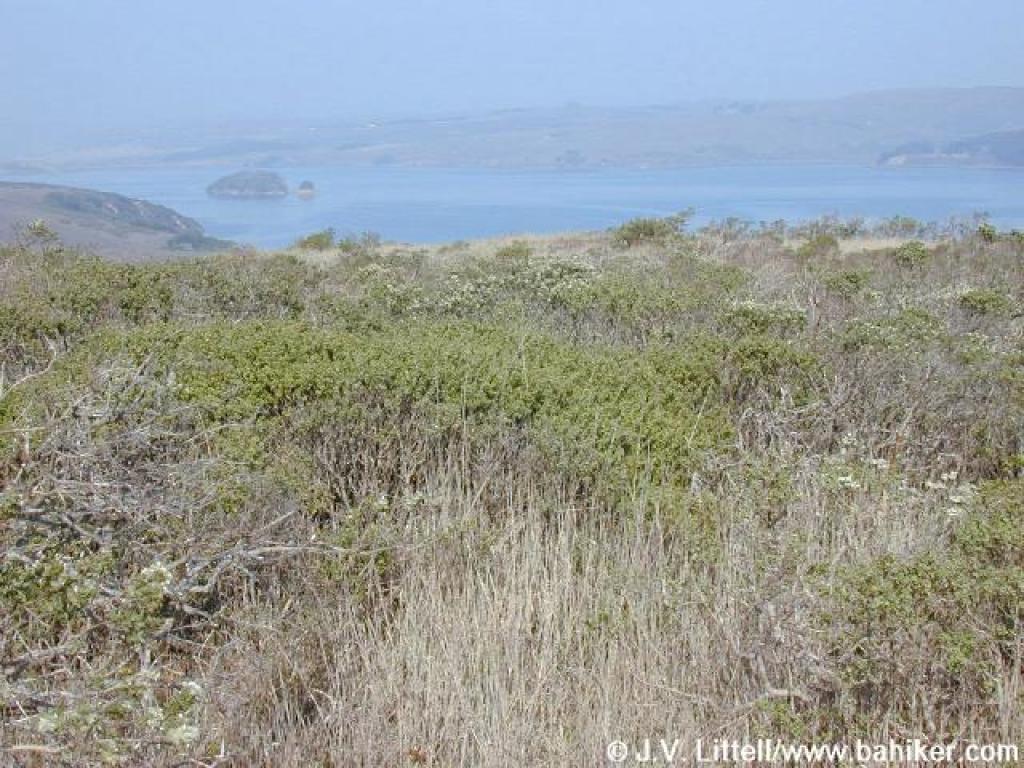 View north to Hog Island |
||||
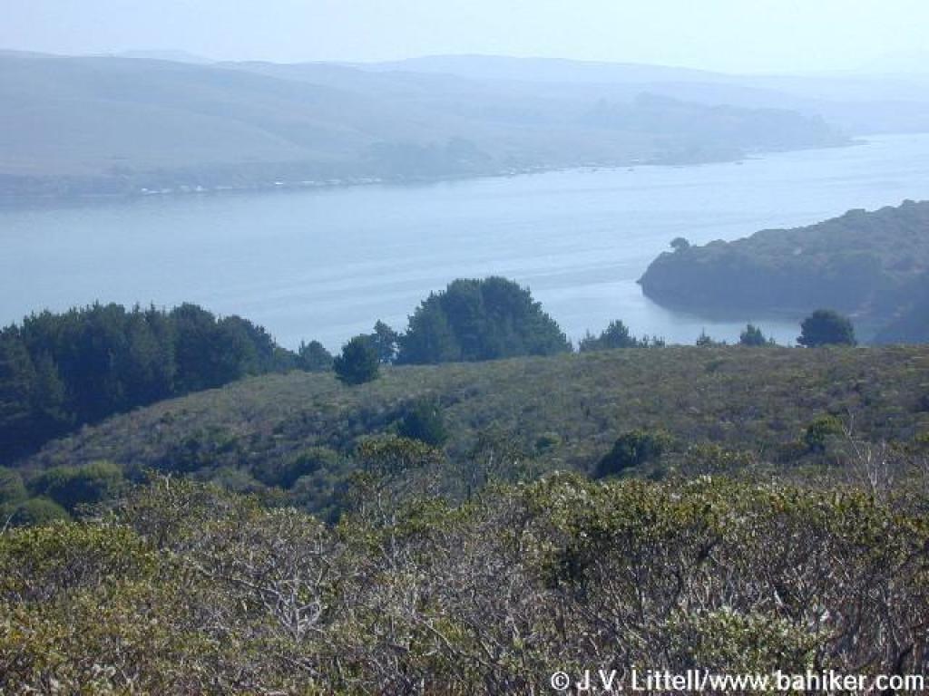 View south |
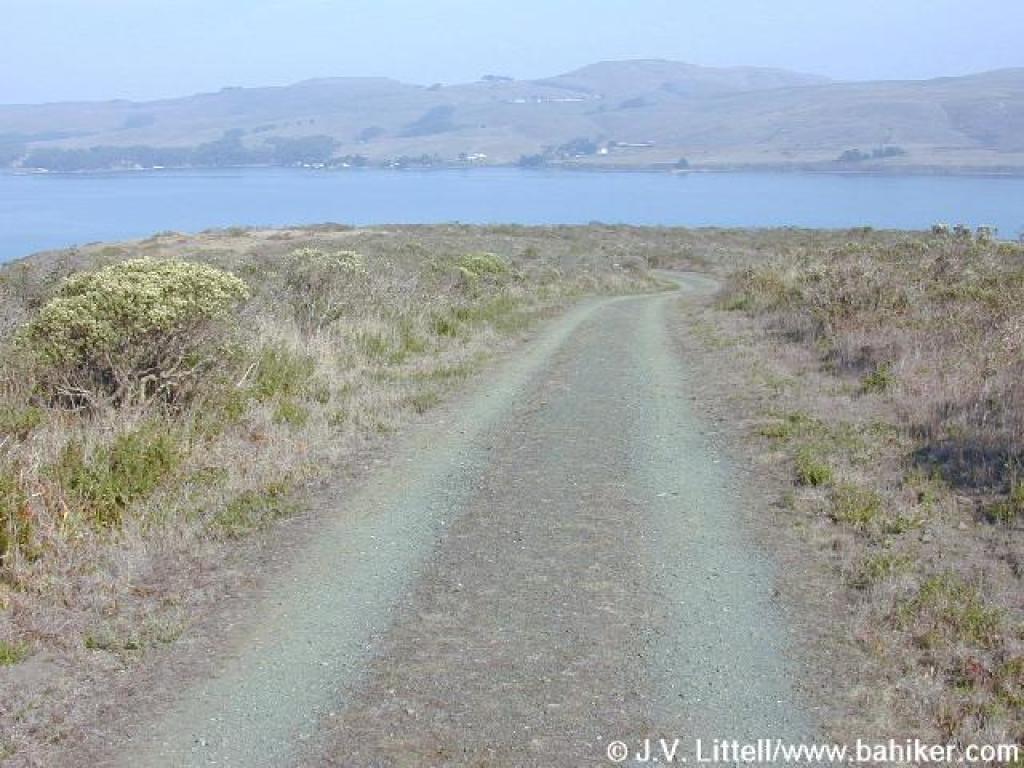
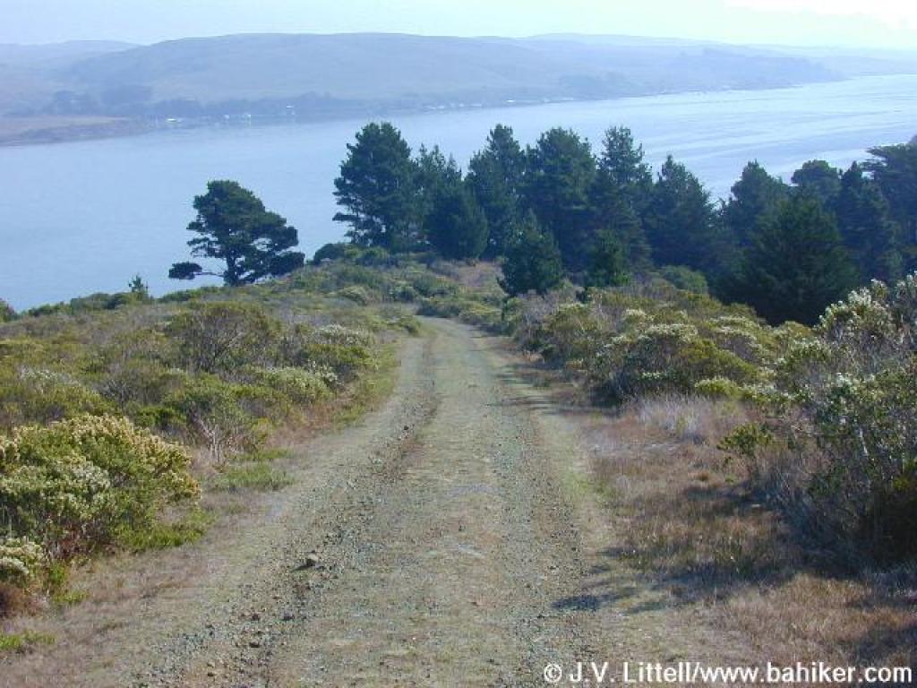 Marshall Beach Trail |
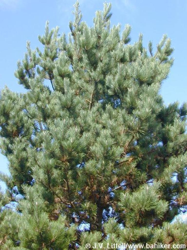 A Bishop pine |
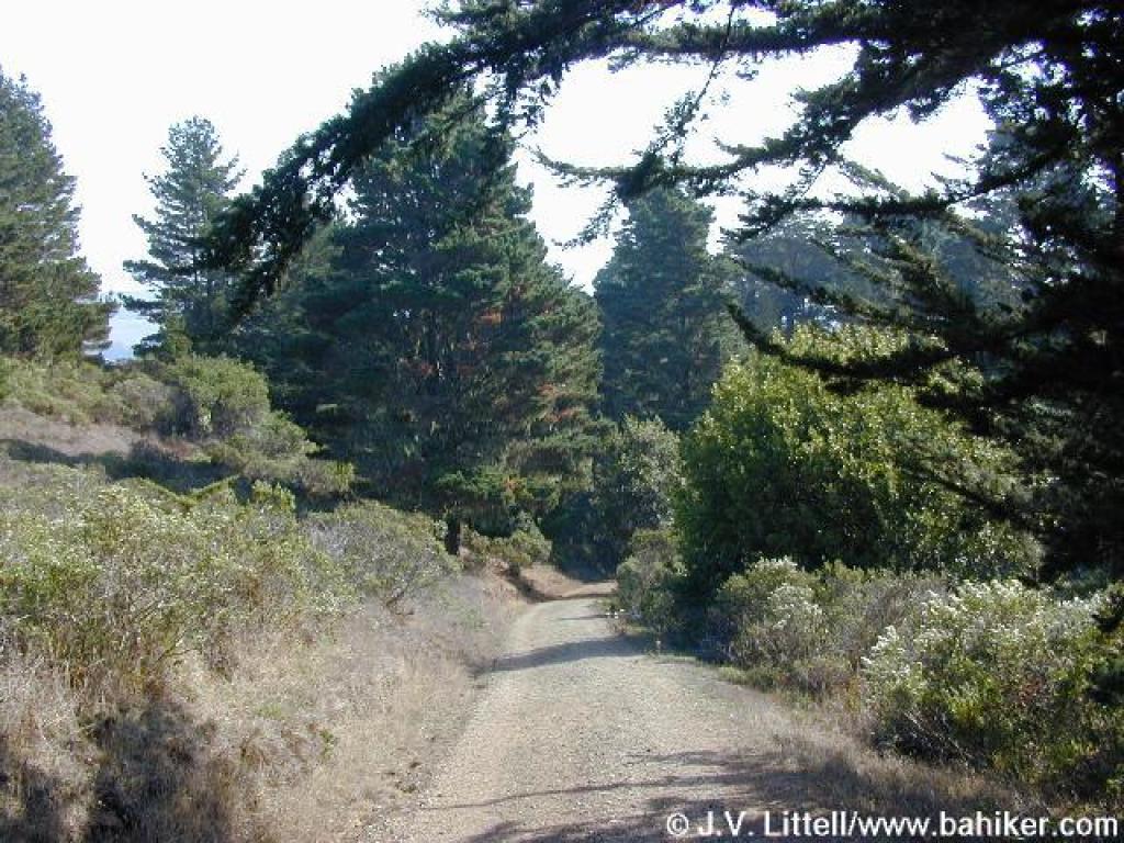 More trees loom ahead |
||||
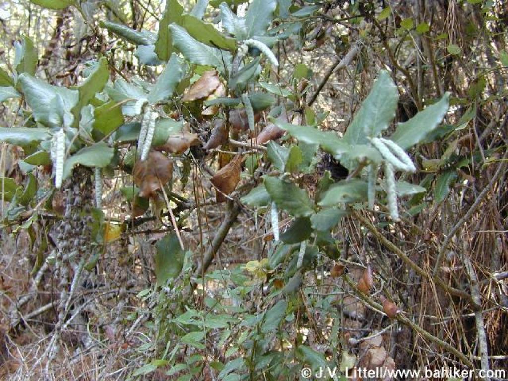 Silktassel |
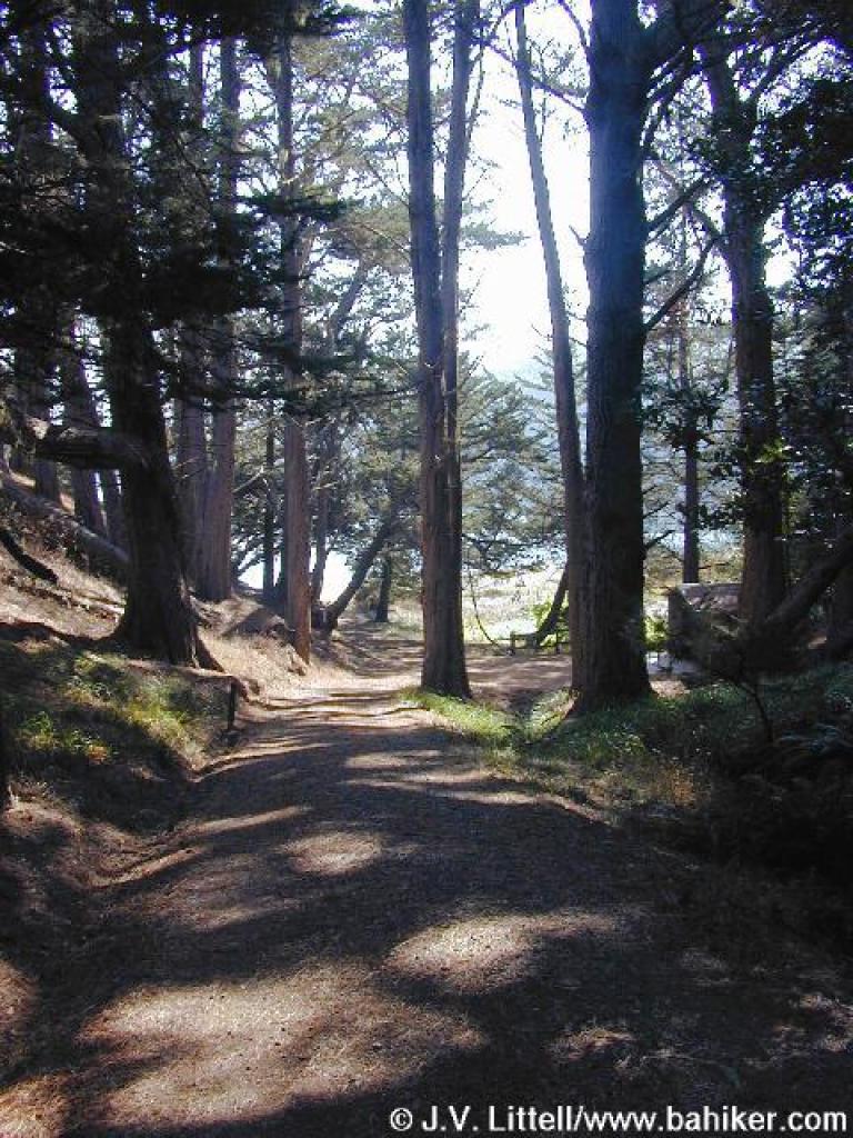 Some shade |
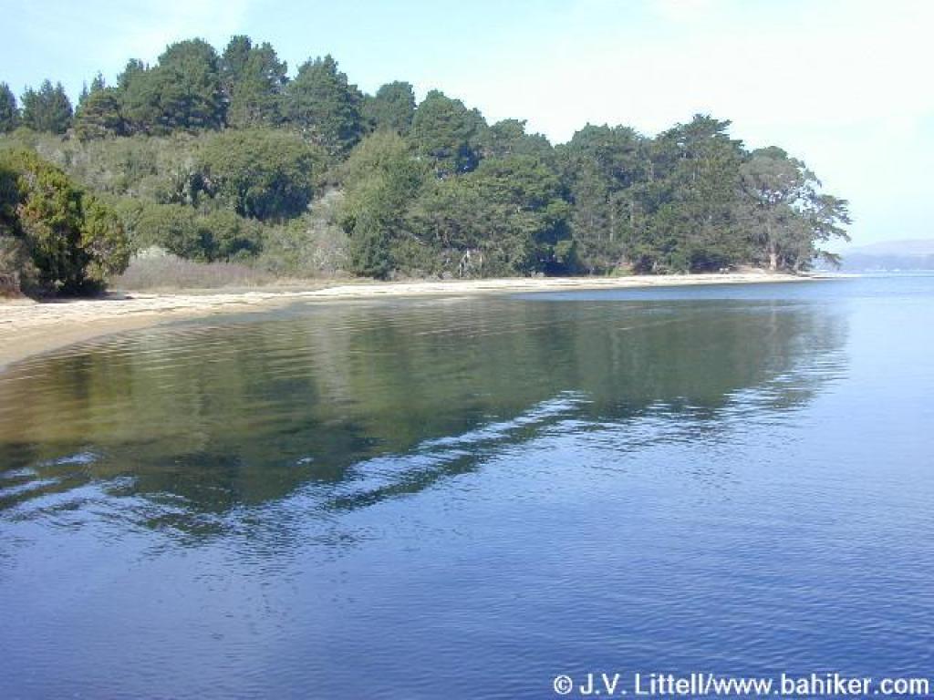
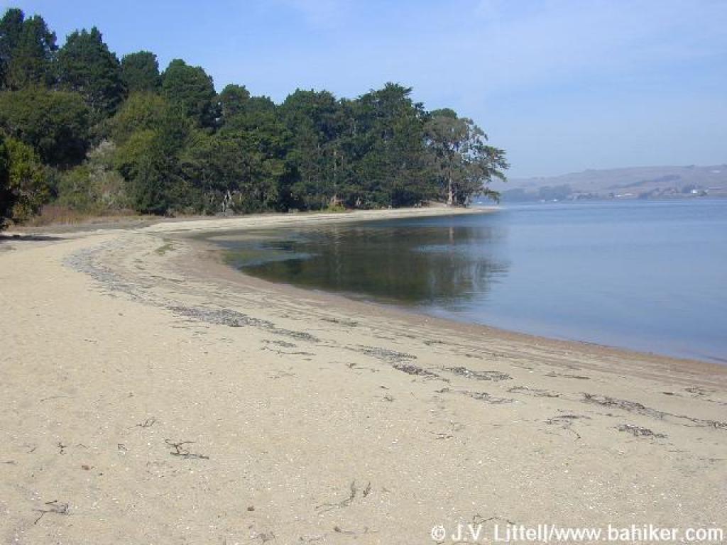
 Marshall Beach |
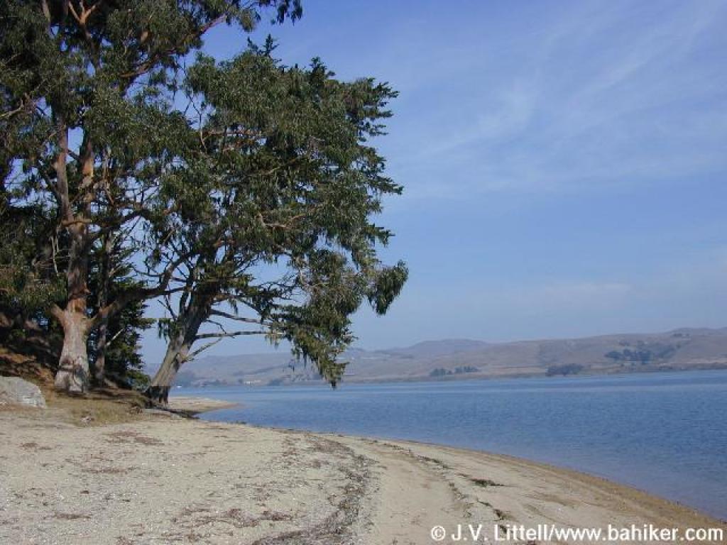 Shoreline to the north |
||||
 Jellyfish |
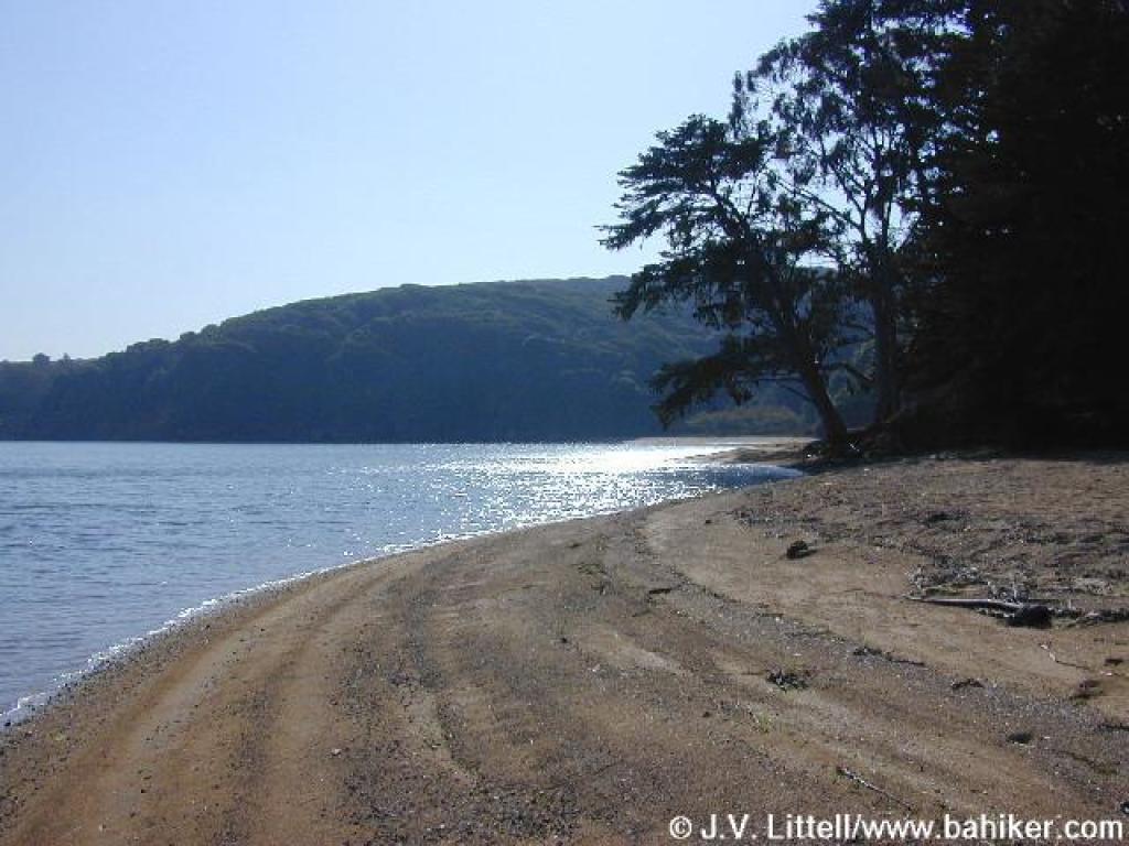
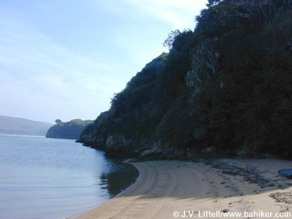 The rocky shoreline prevents a continuation to Lairds Landing |
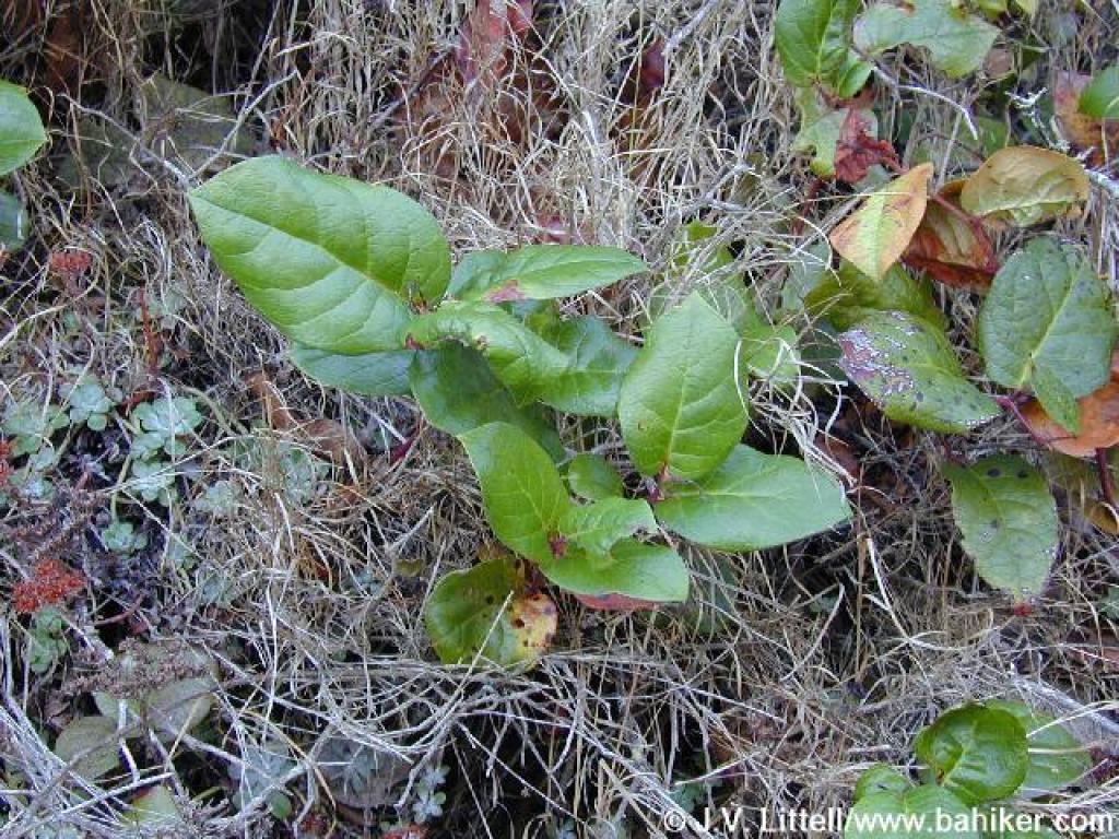 Salal |
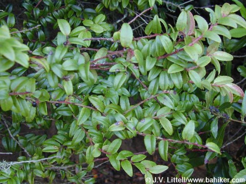 Huckleberry |
||||
 A look back to the north |
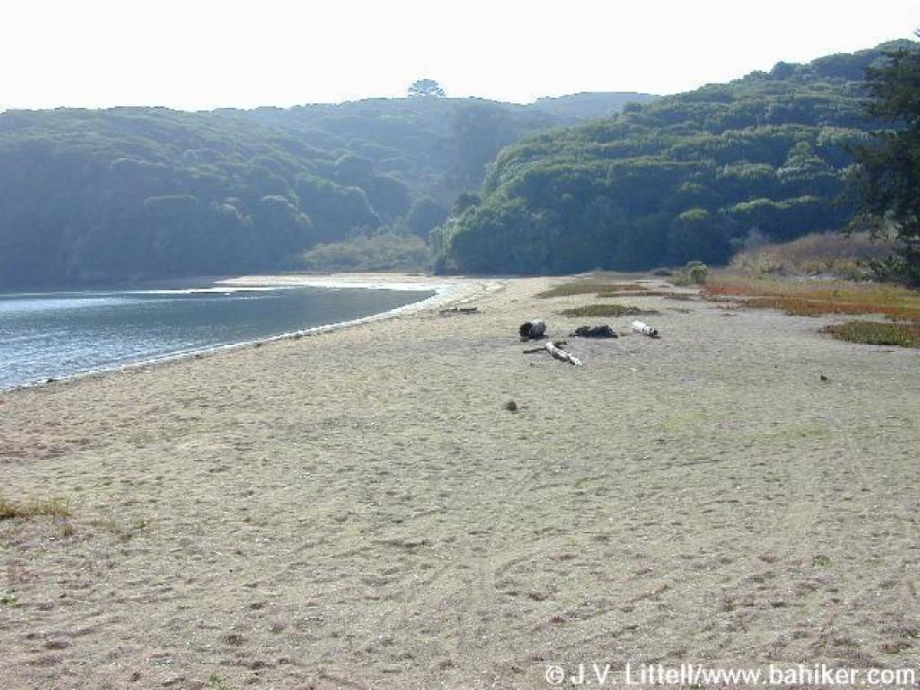
 Sandy beach |
 Just north of the main beach, there's a pretty and secluded spot for lunch |
 Returning uphill |
||||
 As the haze lifted on the return leg, some slight views to the south were revealed |
 Returning to the trailhead |
Go to Bay Area Hiker Marshall Beach page Go to Bay Area Hiker Home page |
|||||