| Photos
from a November 2001 hike at Barbier Park and China Camp (click on any image for a larger view) |
|||||||
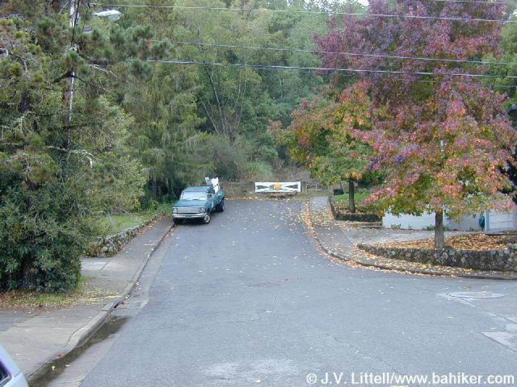 End of Beechwood Court |
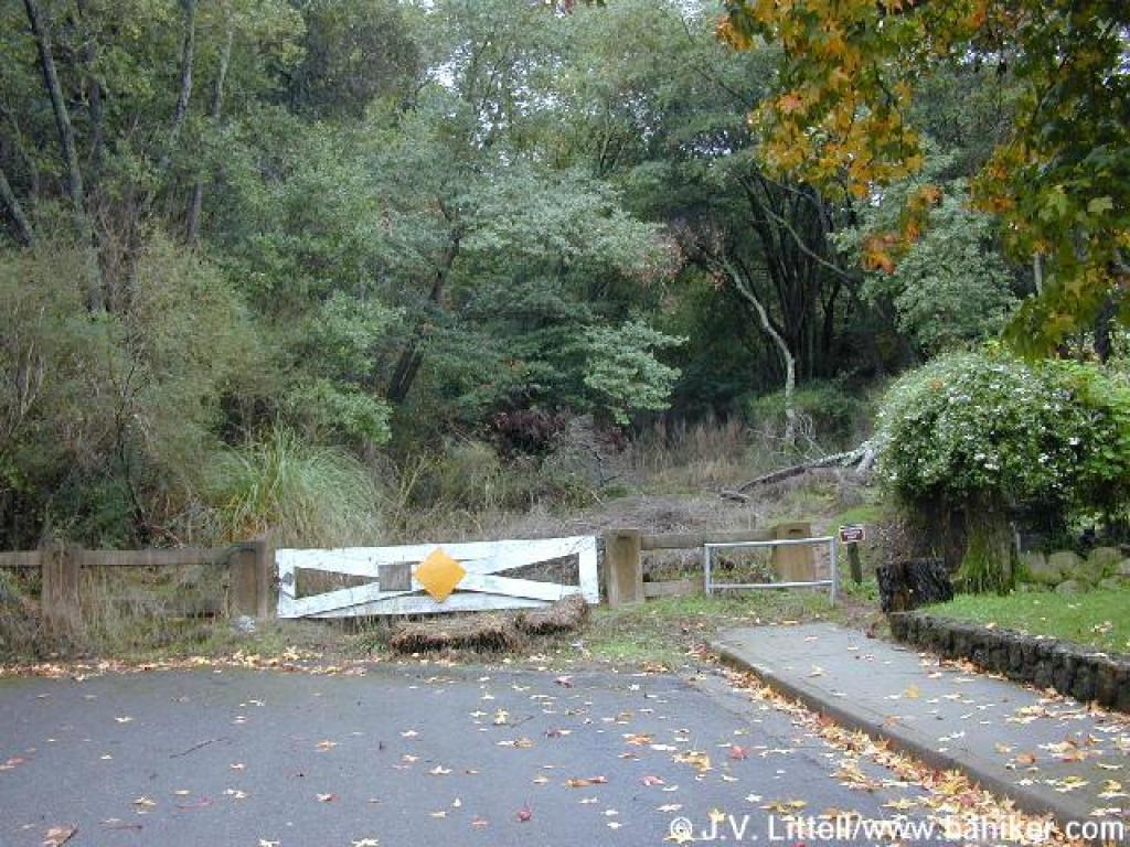 Start of the trail |
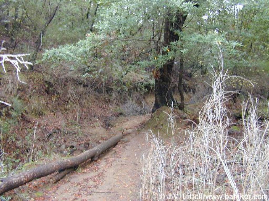 Downed trees block the trail, which is initially steep |
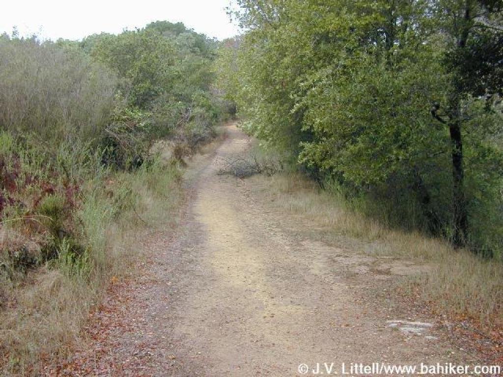
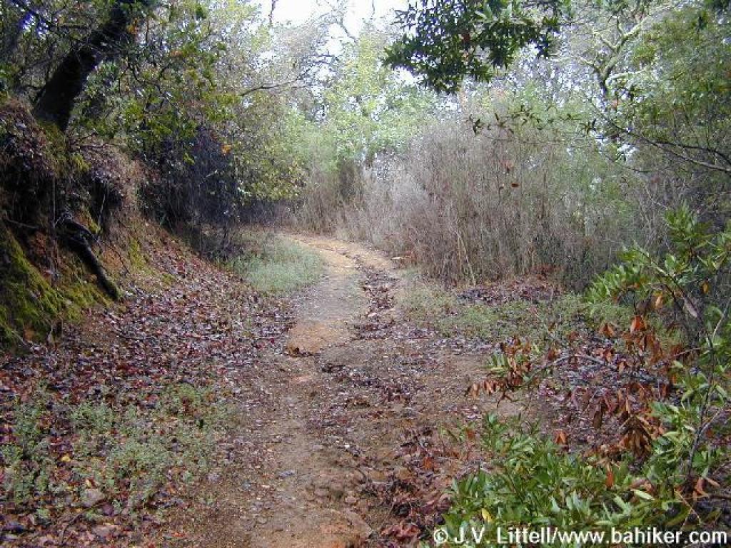 Trail conditions improve as you ascend |
||||
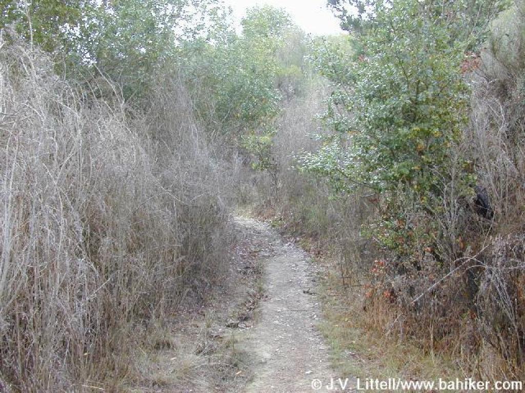 Brooms chokes the trail |
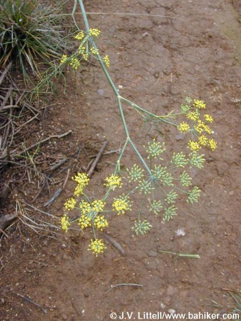 Fennel |
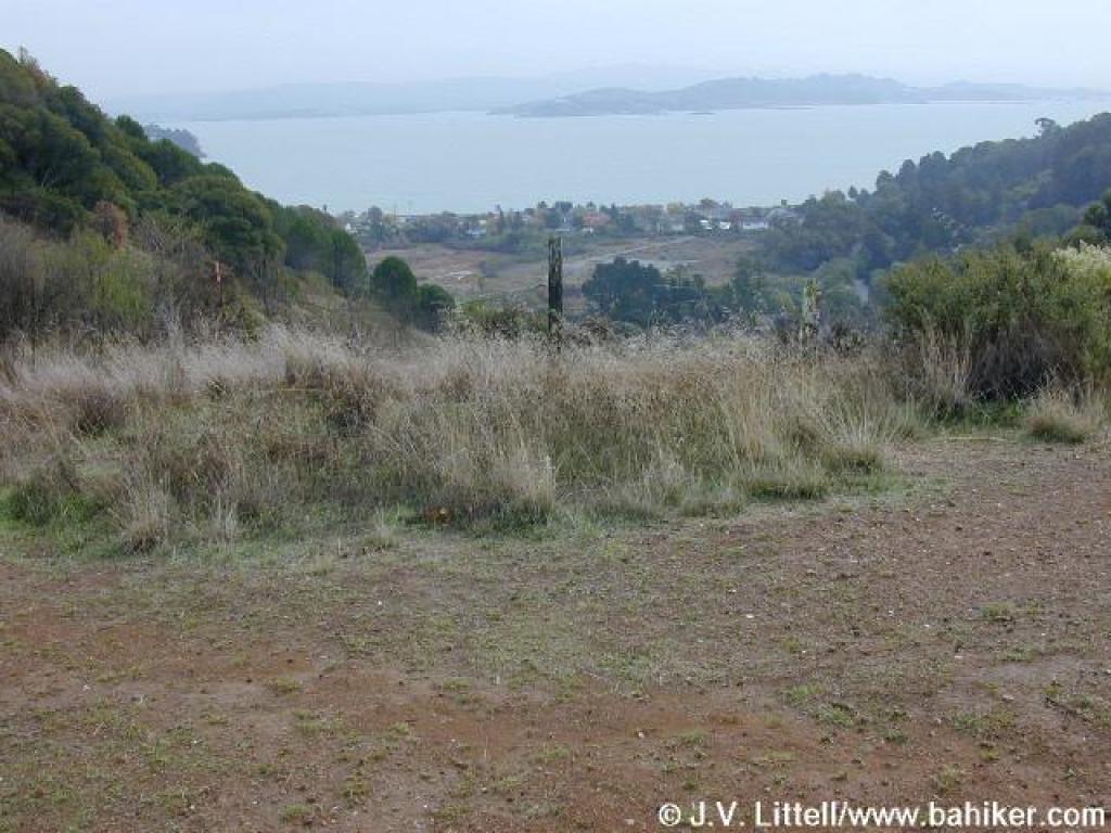 Trail ends at a junction with Bay Hills Fire Road, and views unfold to the south |
 Bay Hills Fire Road |
||||
 Pink rocks on the side of the fire road |
 A look back downhill |
 A buckeye on the side of the fire road |
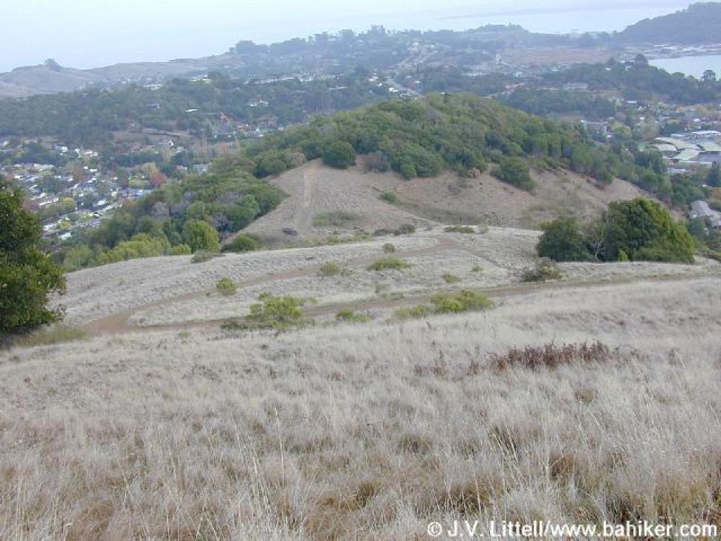
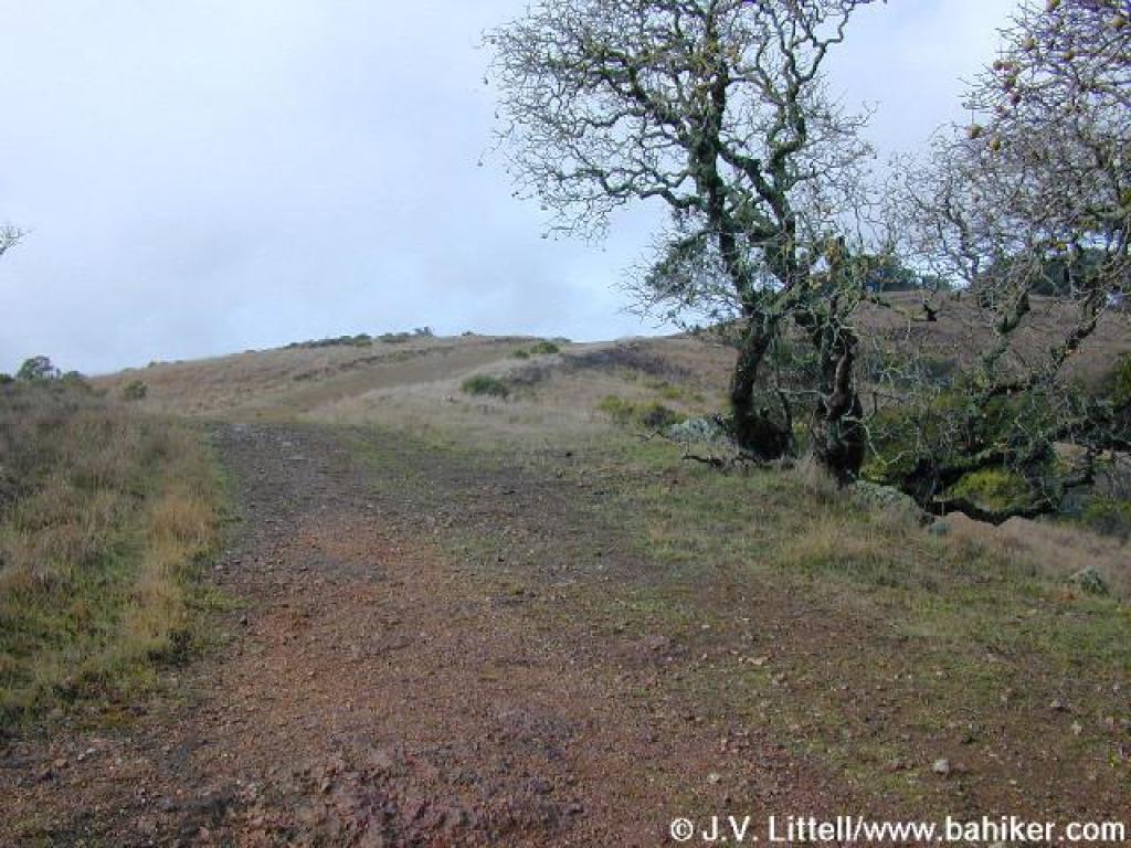
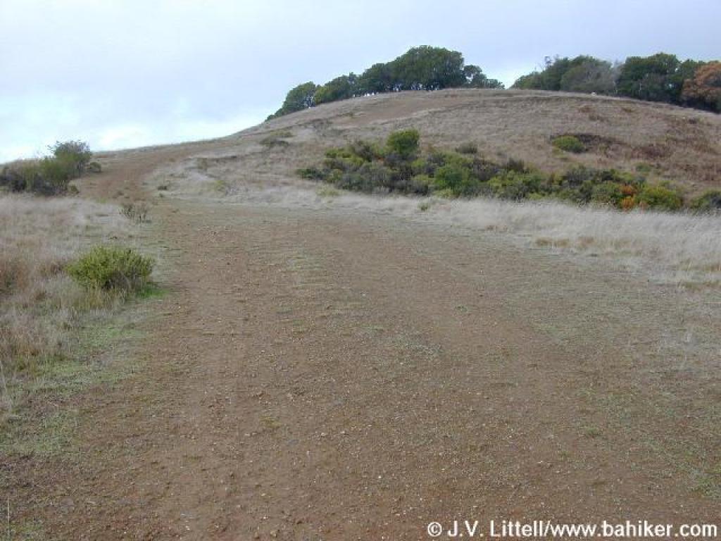 Still in grassland, the fire road continues to climb |
||||
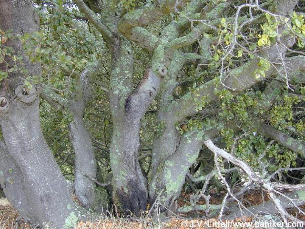 Coast live oaks |
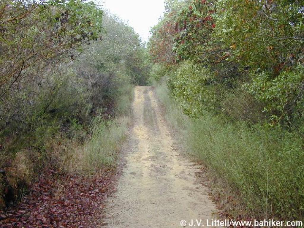
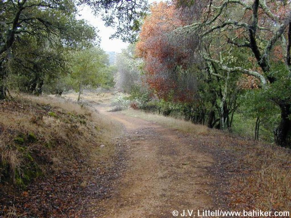 Short flat stretch, and the start of the woods |
 The fire road obviously doesn't get a lot of traffic or maintenance, and fallen trees are likely encountered |
 Car door in a tree |
||||
 Steep |
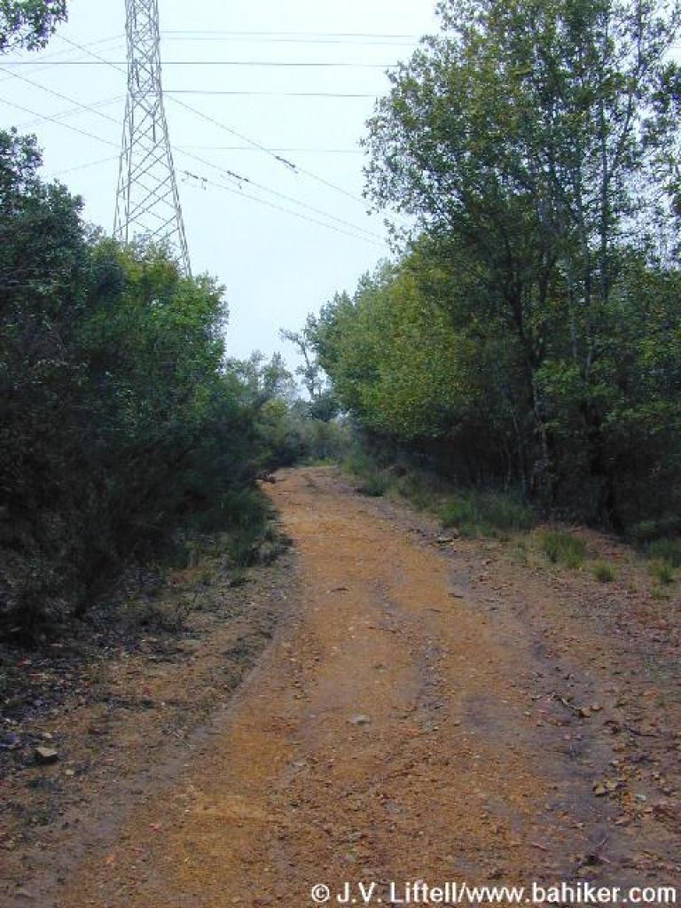 Power line |
 Junction; stay right |
 Manzanita |
||||
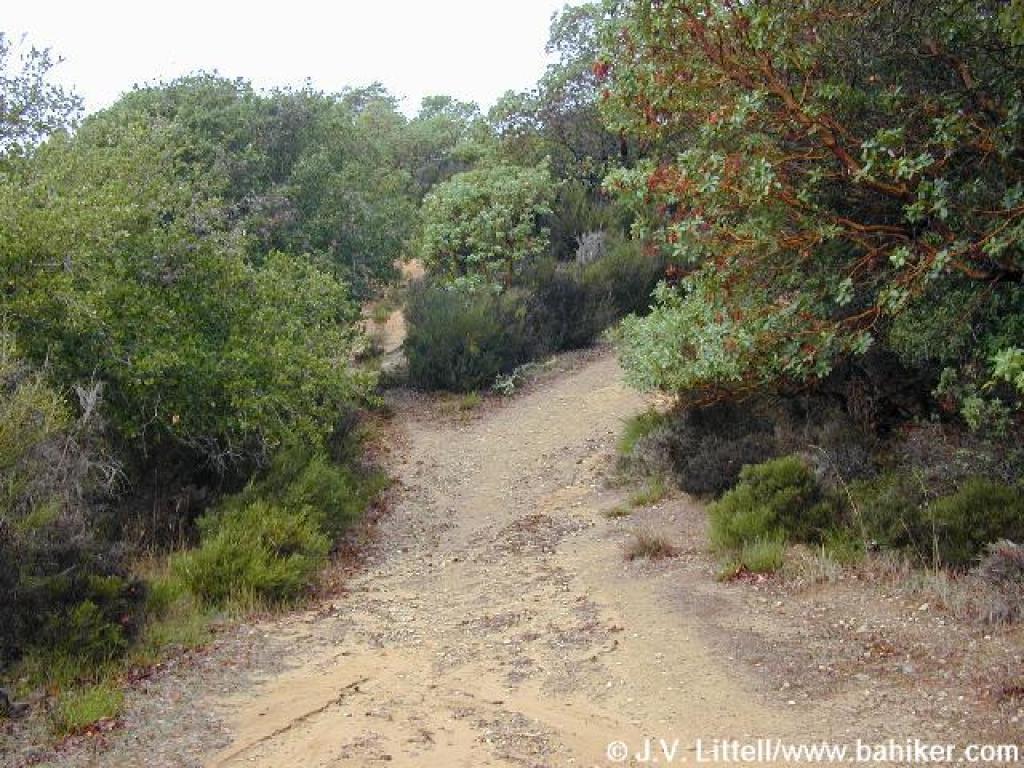 Trail splits, but rejoins at the top of the next hill |
 Another split; stay to the right for a more gentle climb |
 Odd flat and cleared area |
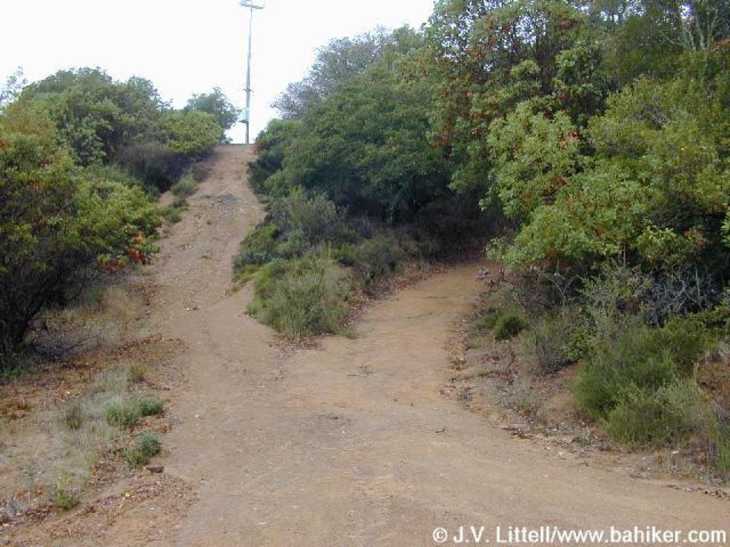
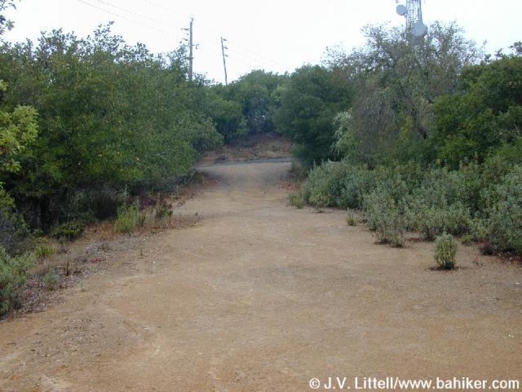 Approaching junction with Gold Hill Grade |
||||
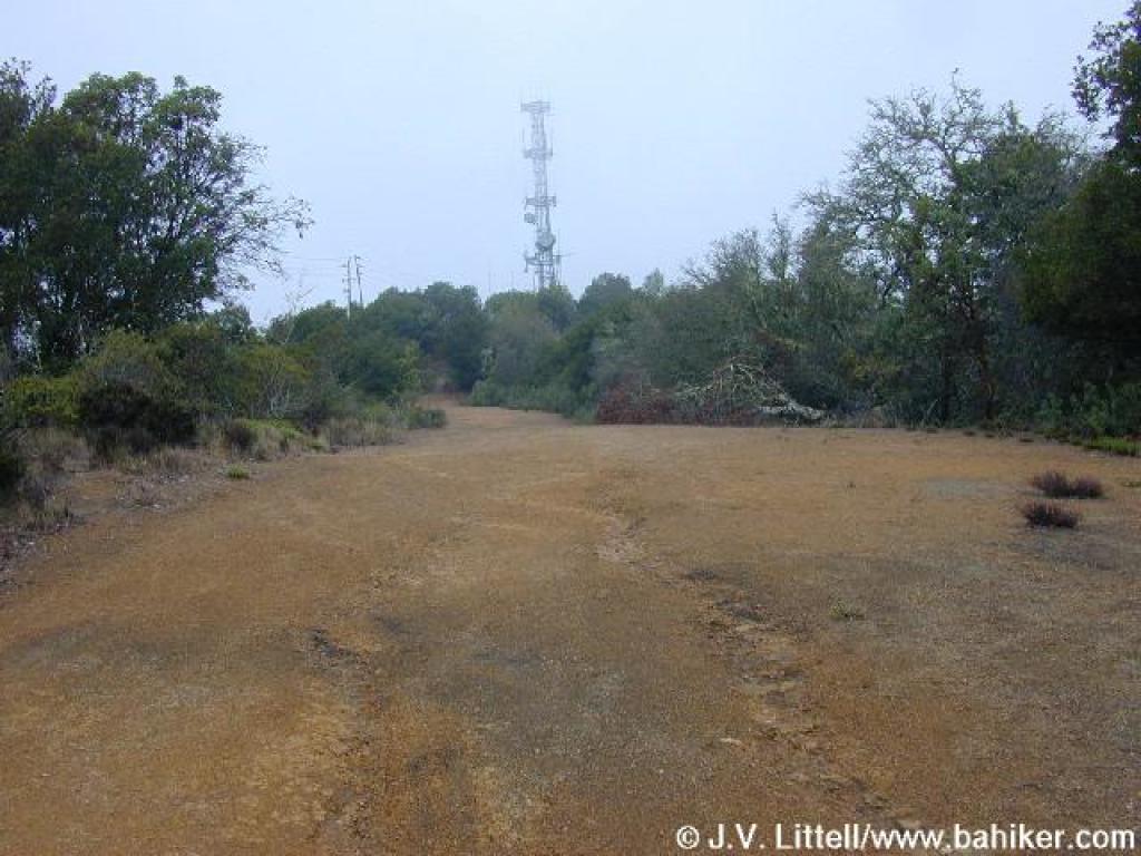
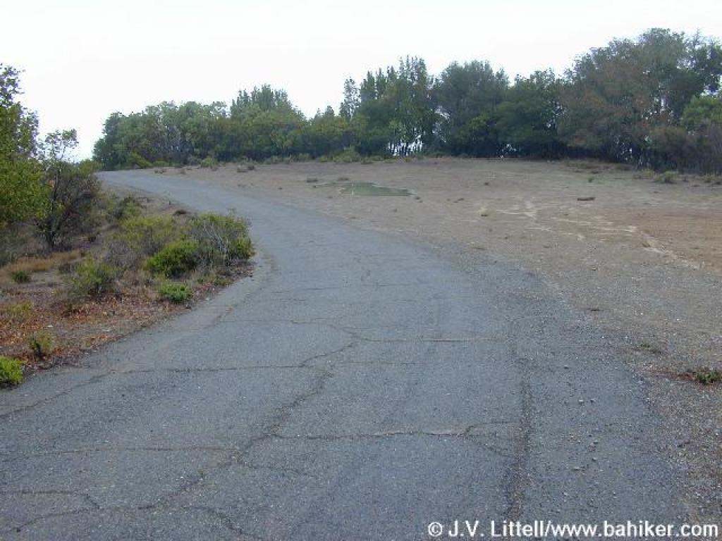
 Pavement near the radio tower |
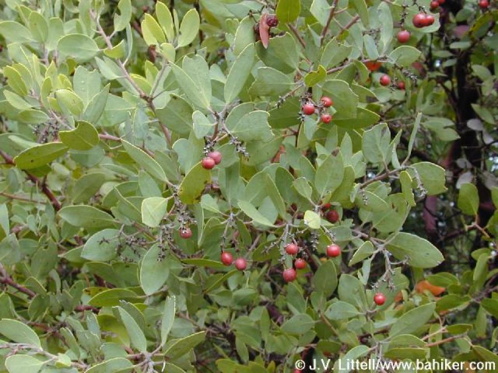
 Toyon |
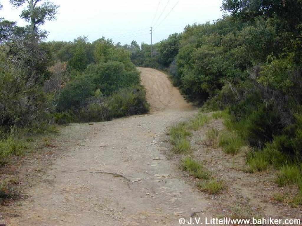
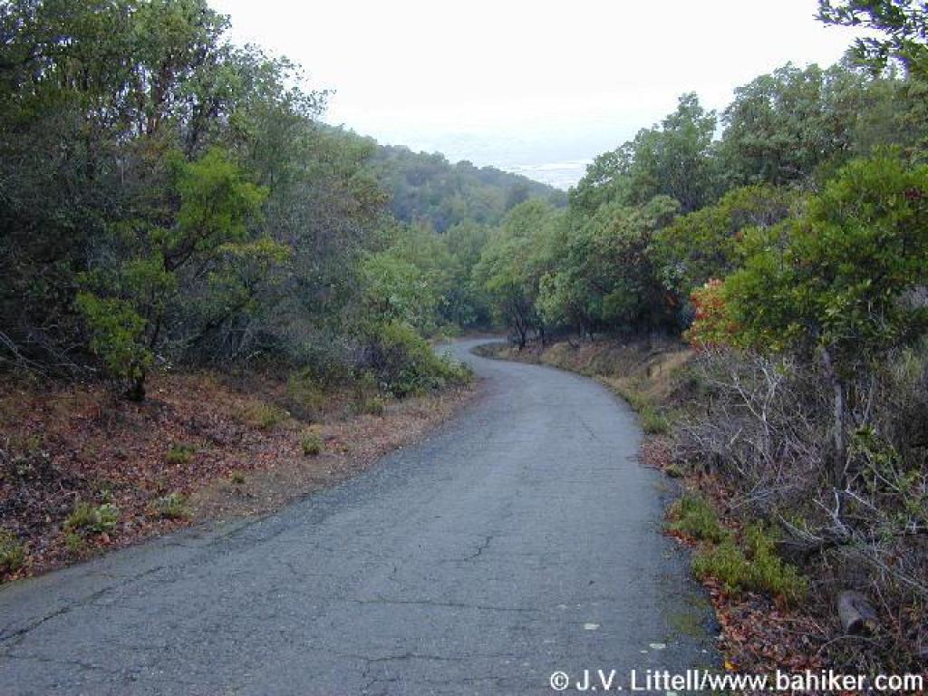
 Fire road rolls slightly up and down |
 Stay to the right as a dirt service road heads left |
||||
 Crest |
 Steep downhill |
 Cone in a tree |
 Junction |
||||
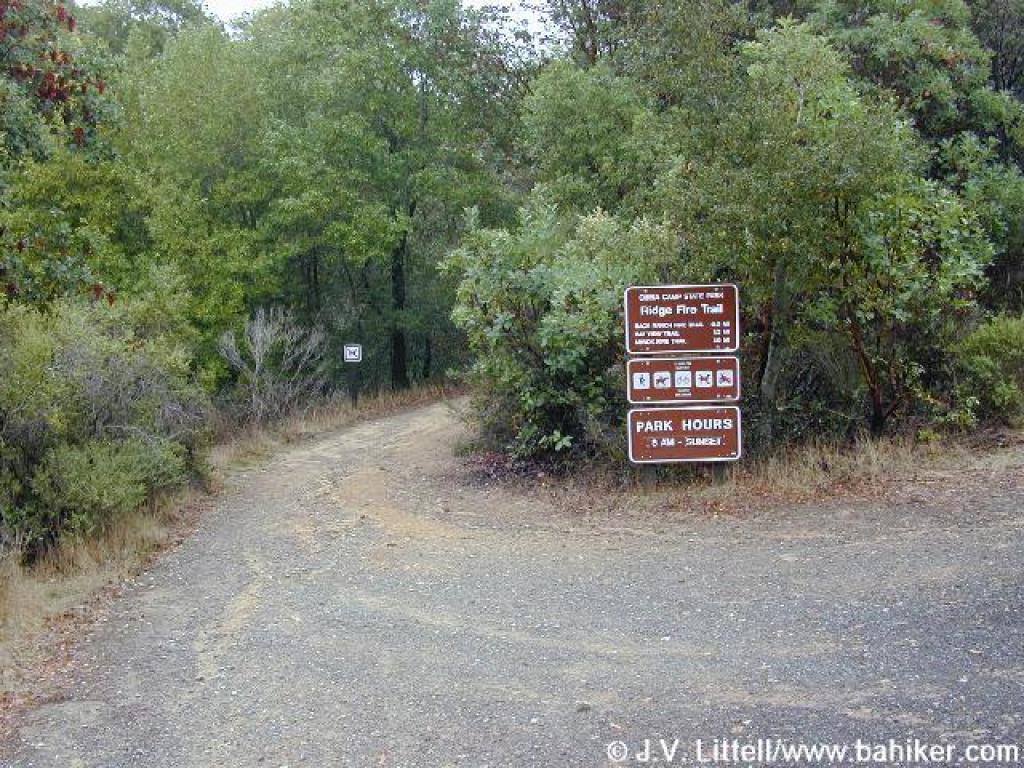 Ridge Trail heads east |
 Bay Hills Fire Road continues toward San Pedro Mountain Open Space Preserve |
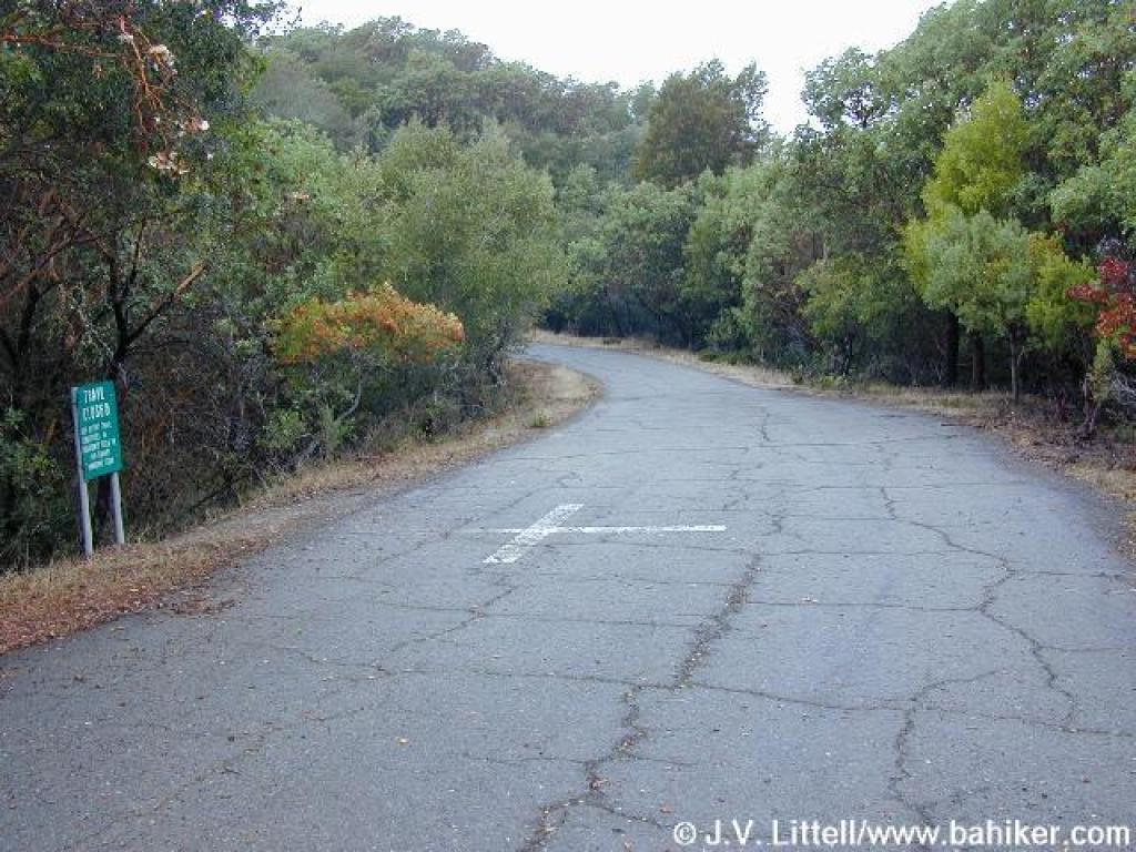
 An ominous sign marks a closed trail that descends back to San Rafael |
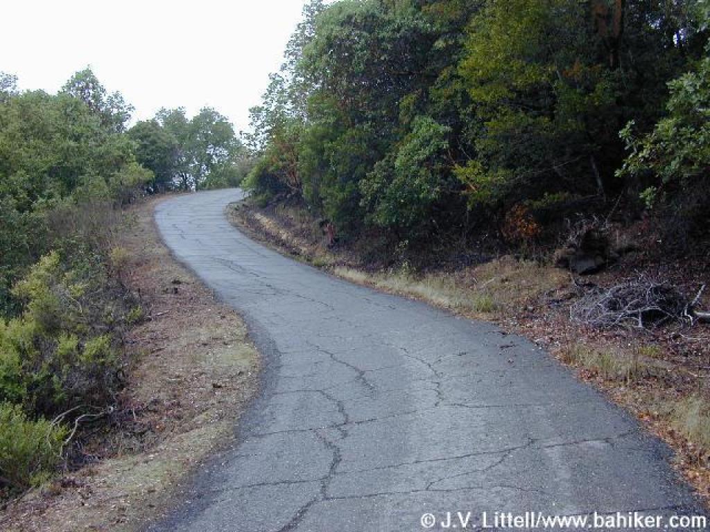 Ascent |
||||
 Bay Hills Fire Road |
 Looking south, Mount Tam must be behind those clouds somewhere |
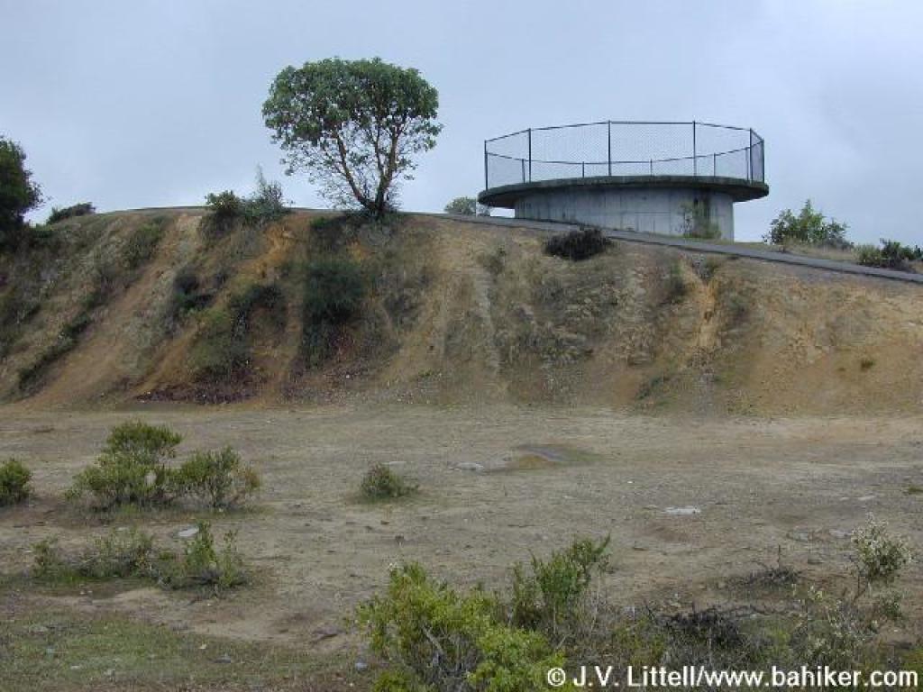 Nike site |
 View north |
||||
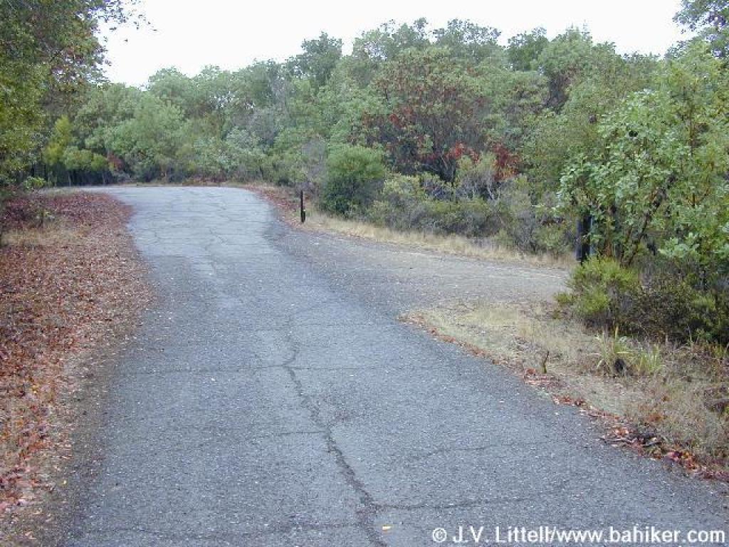
 Returning to the trailhead on the neighborhood trail |
 Last stretch back to the trailhead |
Go to Bay Area Hiker Barbier Park page Go to Bay Area Hiker Home page |
|||||