| Photos
from a July 2002 hike at Camino Alto Open Space Preserve (click on any image for a larger view) |
|||||||
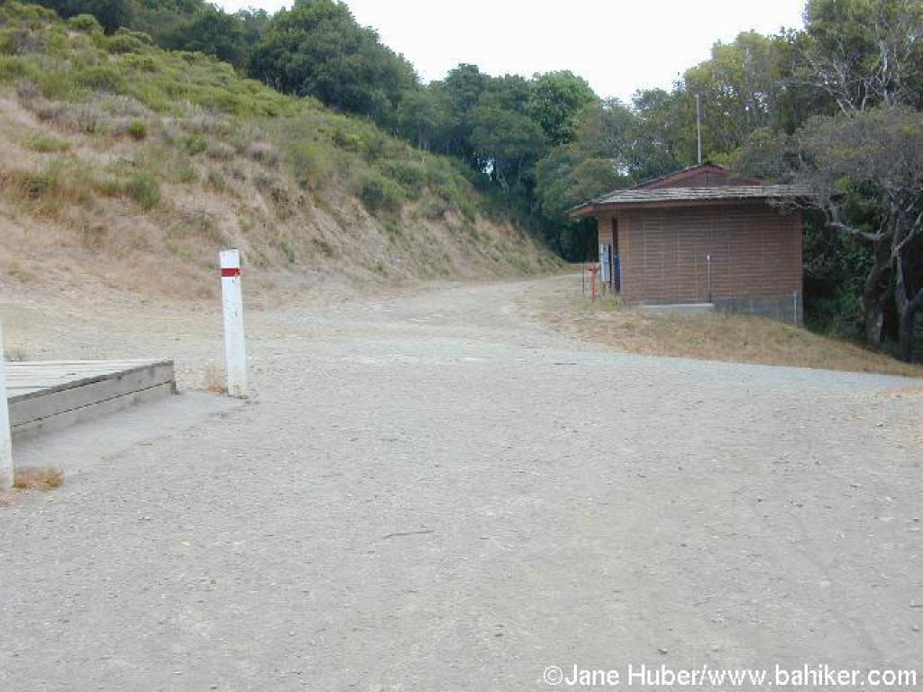
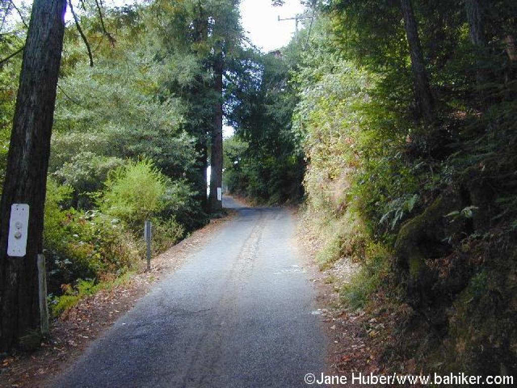
 Trailhead |
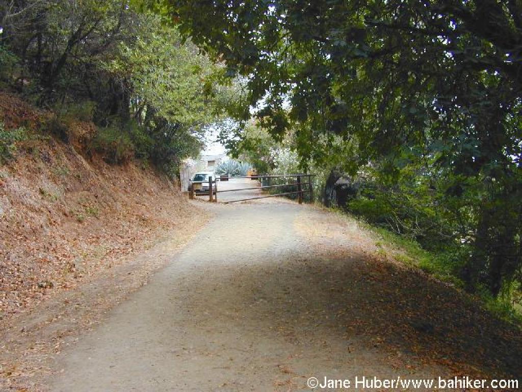
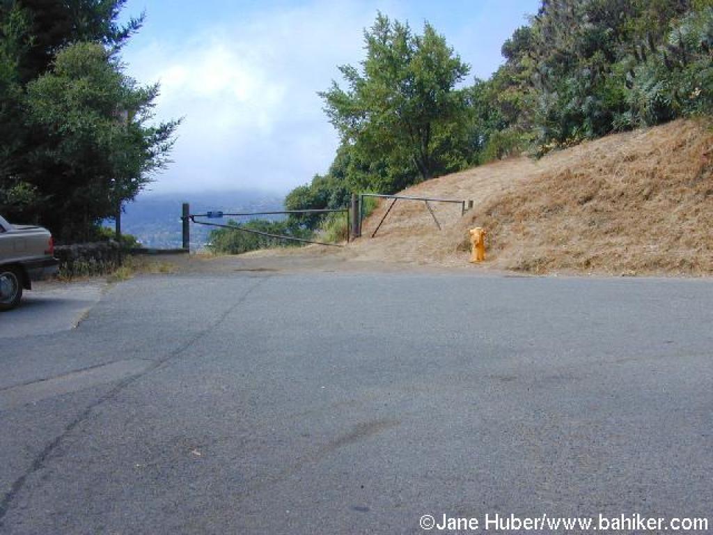
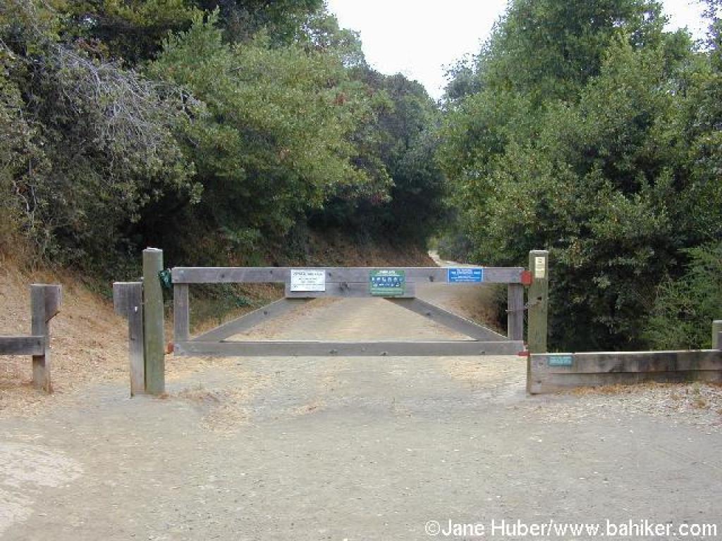 Gate |
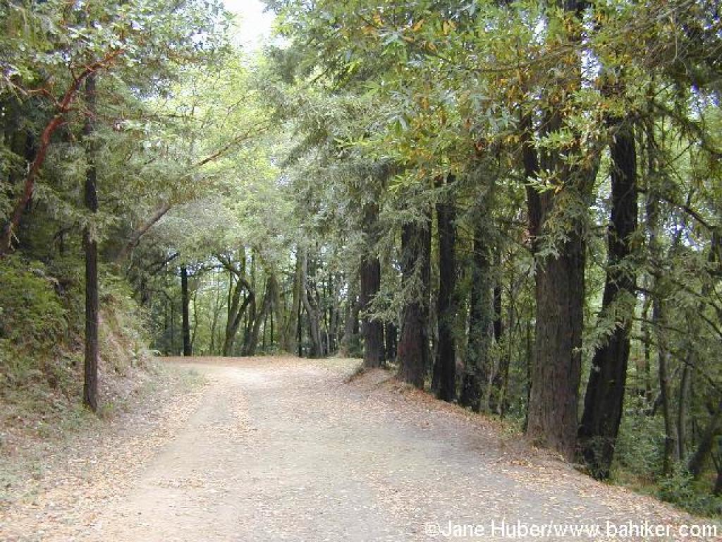
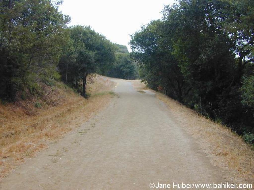 Escalon Fire Road |
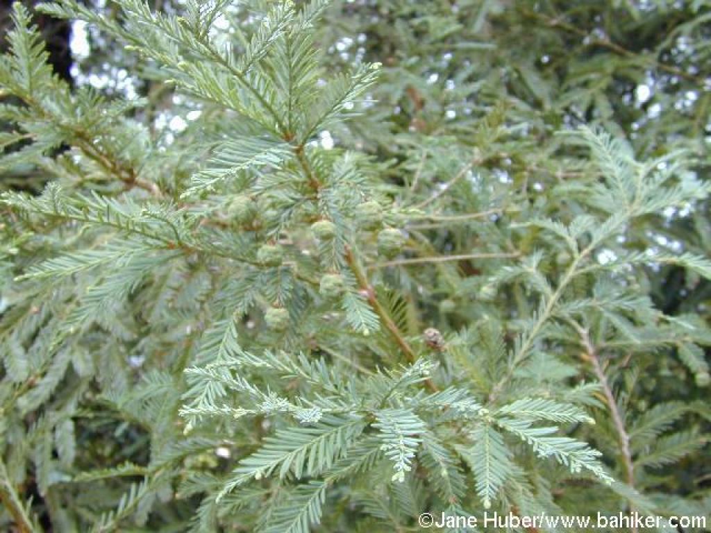 Young redwood cones |
||||
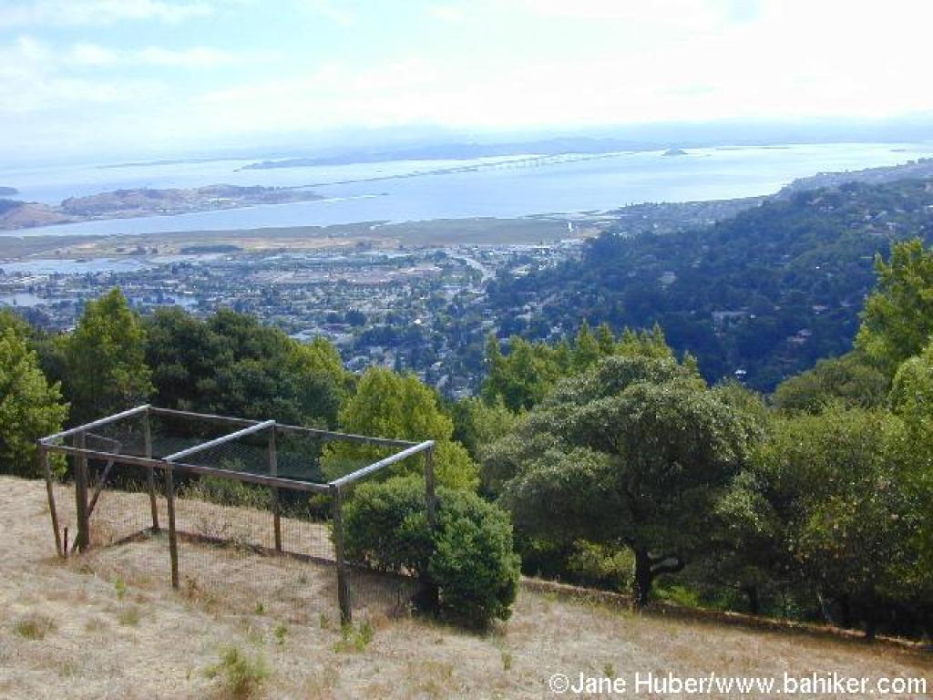
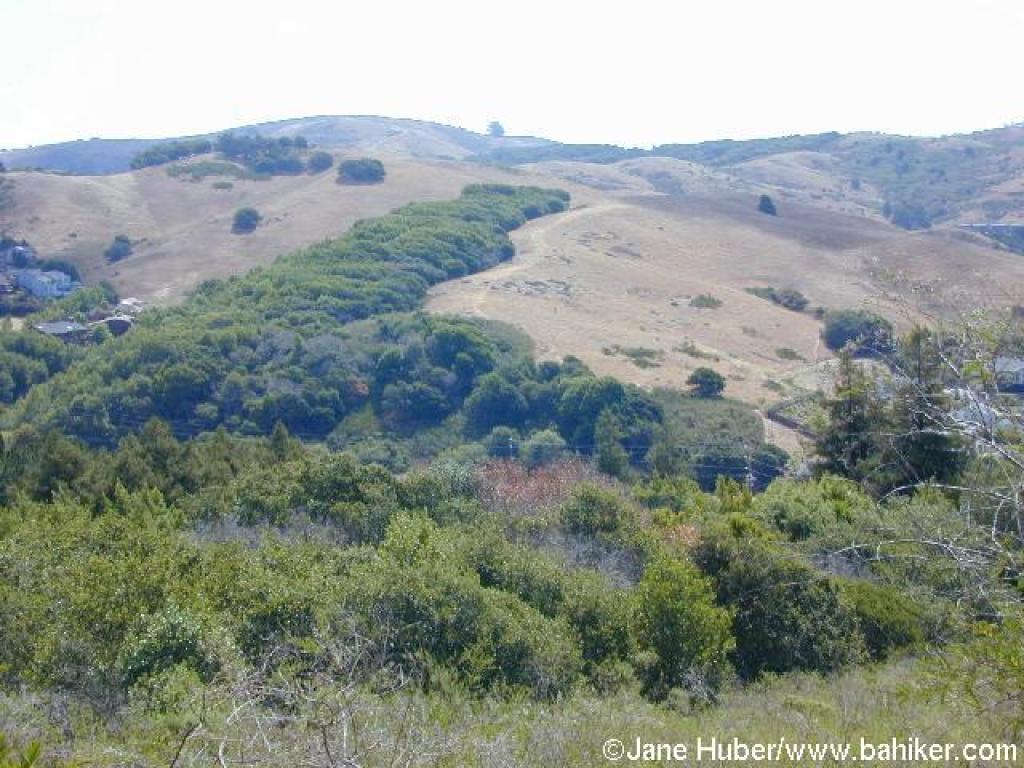 View to Horse Hill and Ring Mountain |
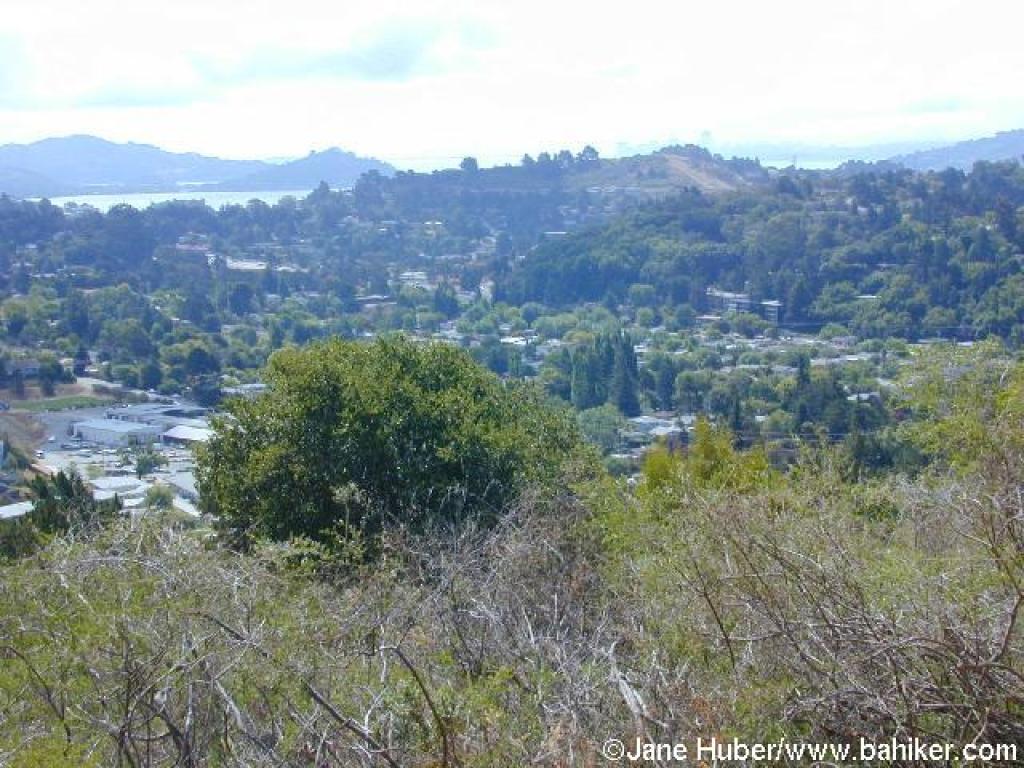 View southeast |
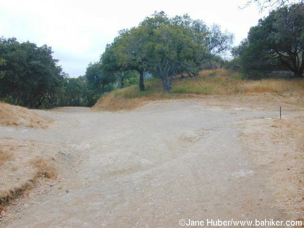 Junction with Camino Alto Fire Road |
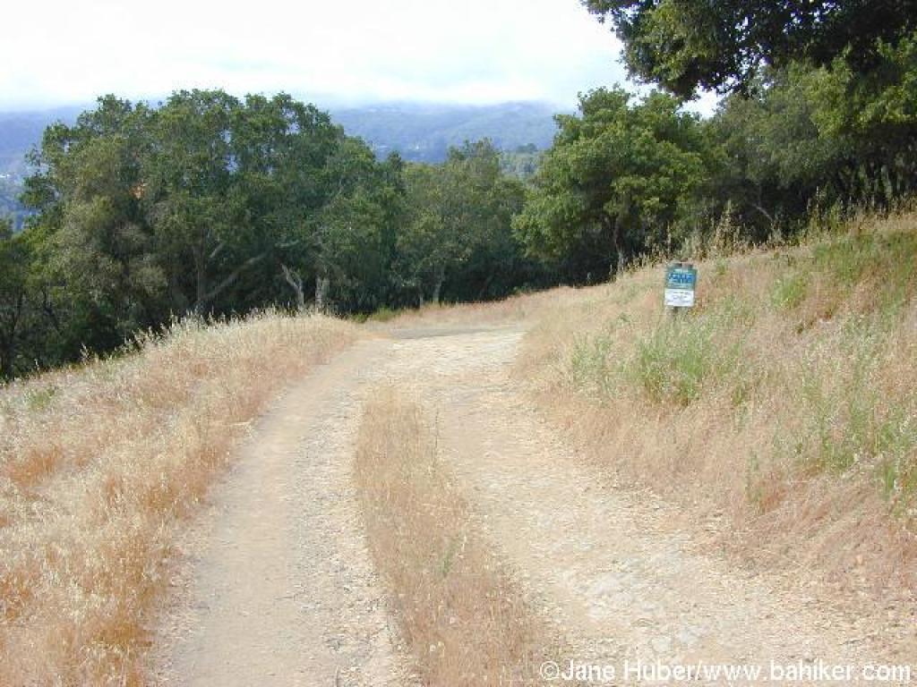
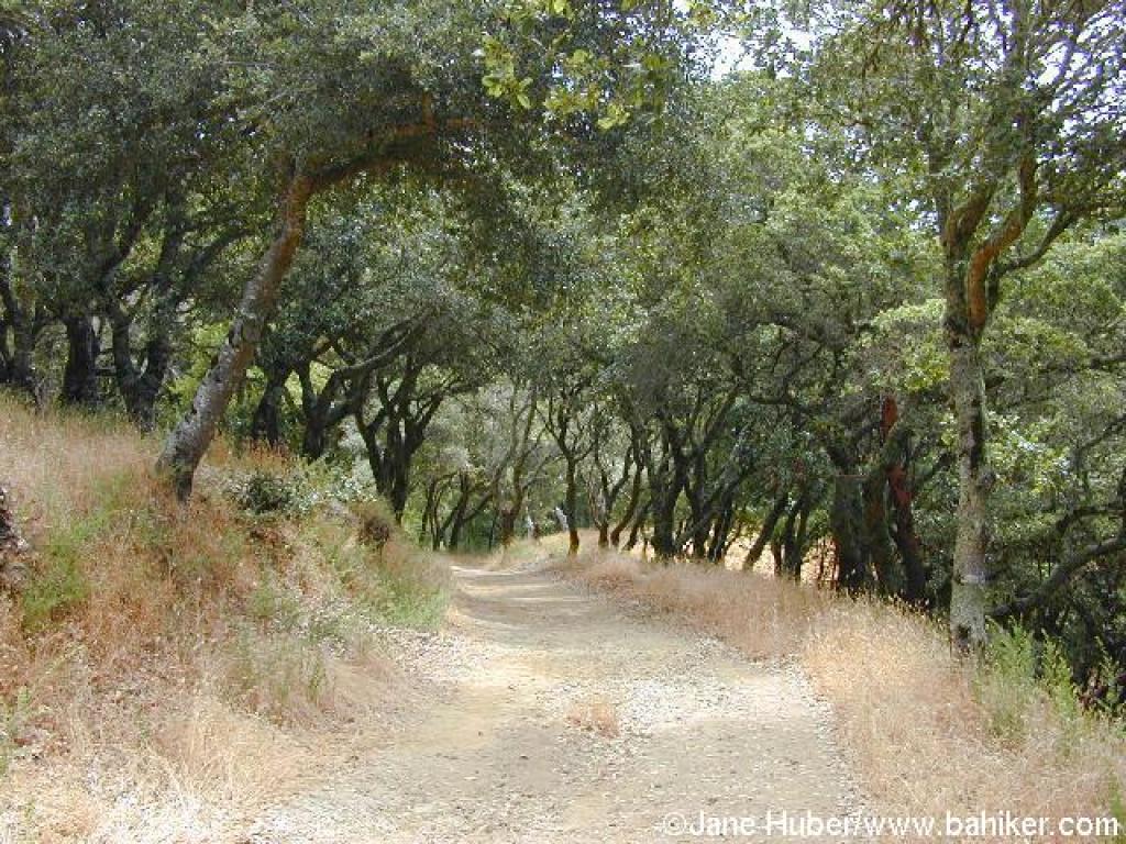
 Escalon Fire Road |
||||
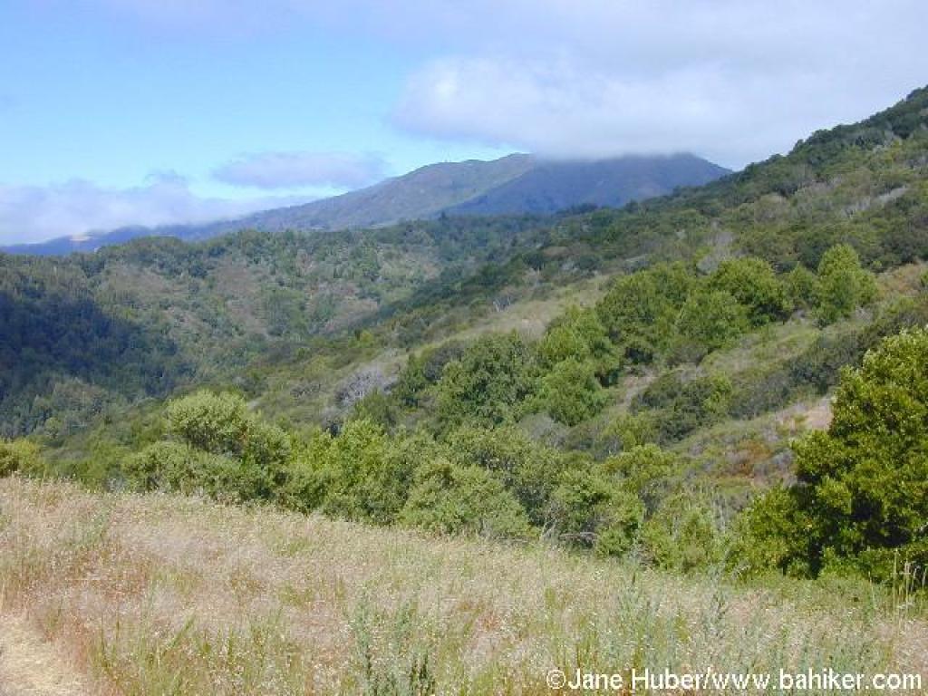
 View to Mount Tam, partly obscured by clouds |
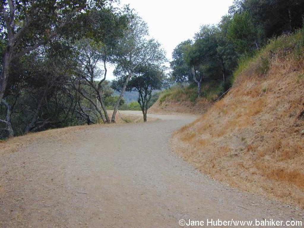
 Approaching junction |
 Junction with Middle Summit Fire Road |
 Upper Summit Fire Road |
||||
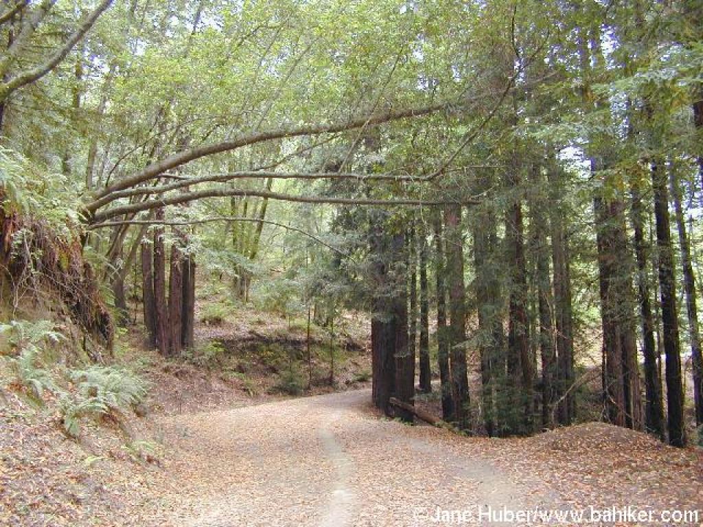 Bays and redwoods along the trail |
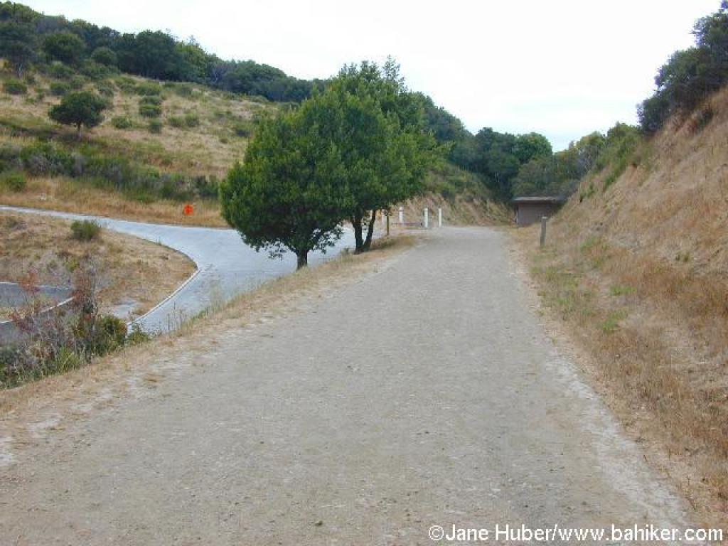
 Gate at the end of the fire road |
 Climbing (pant) Summit Road |
 Gate off Summit Road |
||||
 Gate |
 View east |
 Middle Summit Fire Road |
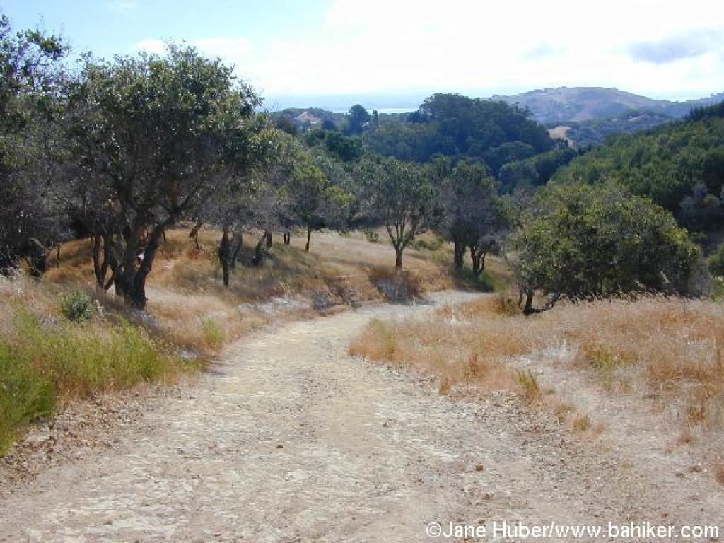
 Descending through coast live oaks |
||||
 Dip |
 Tam |
 Last stretch |
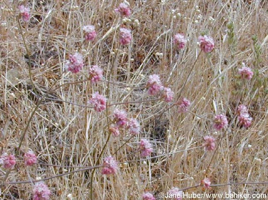 Buckwheat |
||||
 |
Go to Bay Area Hiker Camino Alto page Go to Bay Area Hiker Home page |
||||||