| Photos
from a February 2002 hike at Mount Tam (Deer Park Trailhead) (click on any image for a larger view) |
|||||||
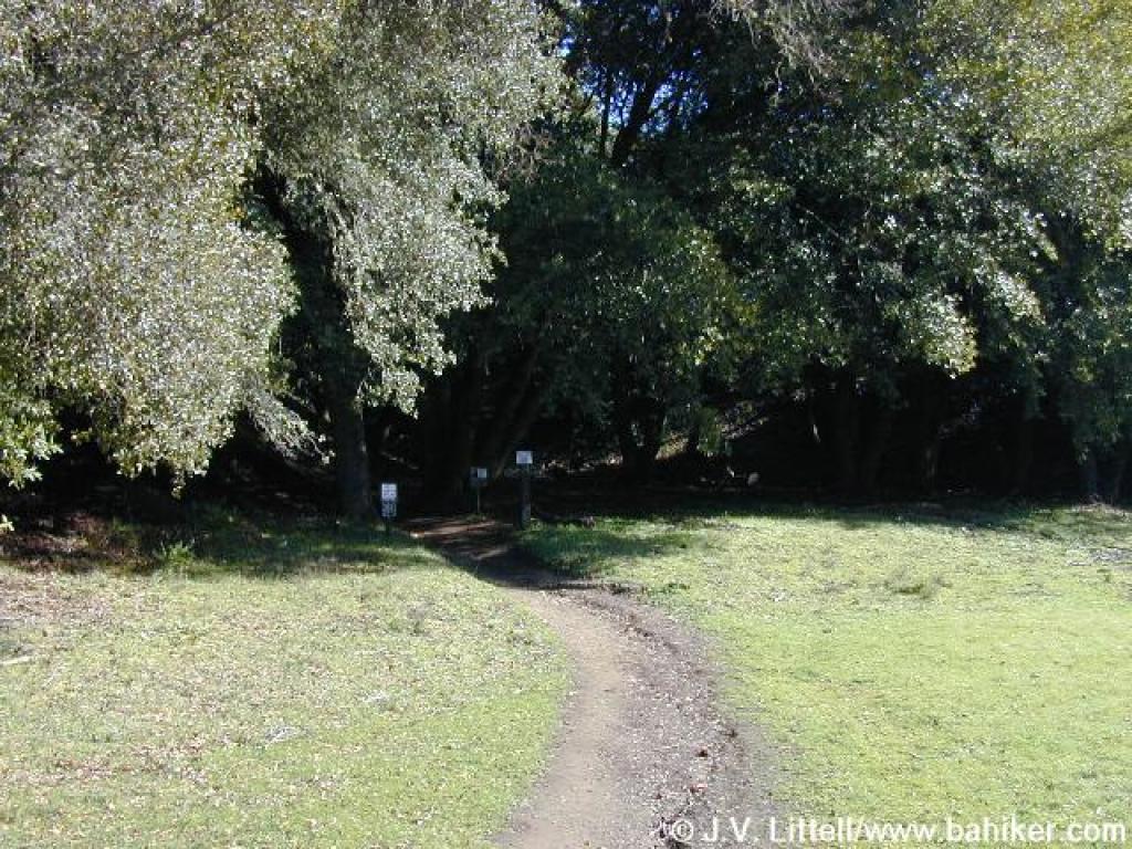
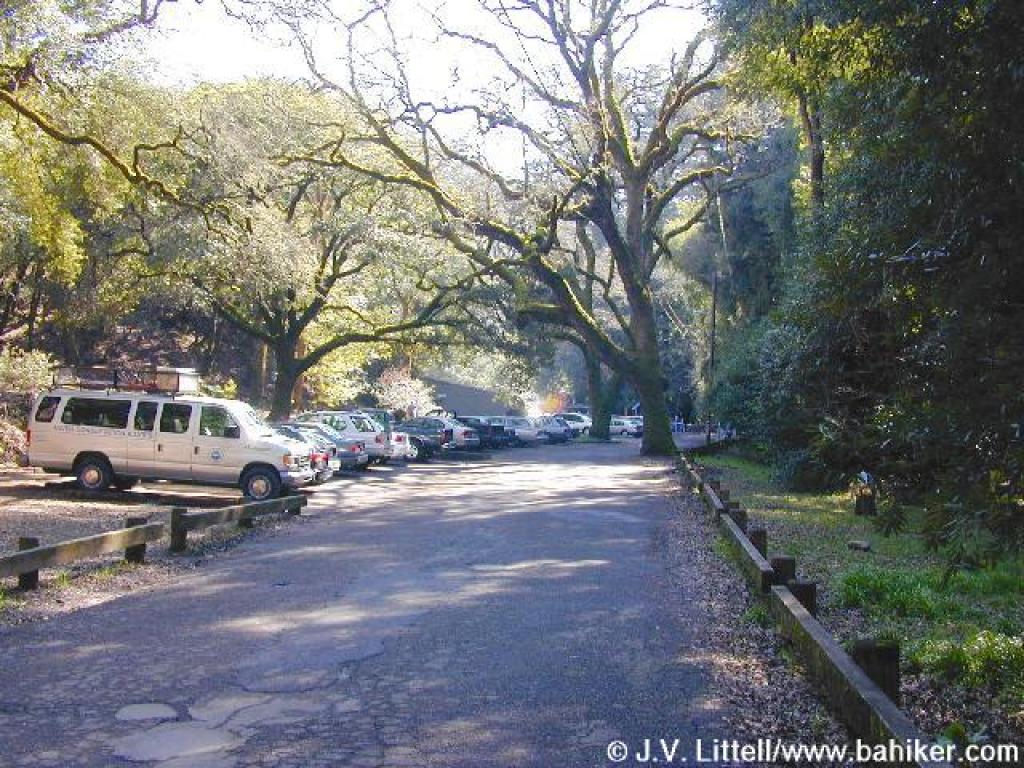 Trailhead |
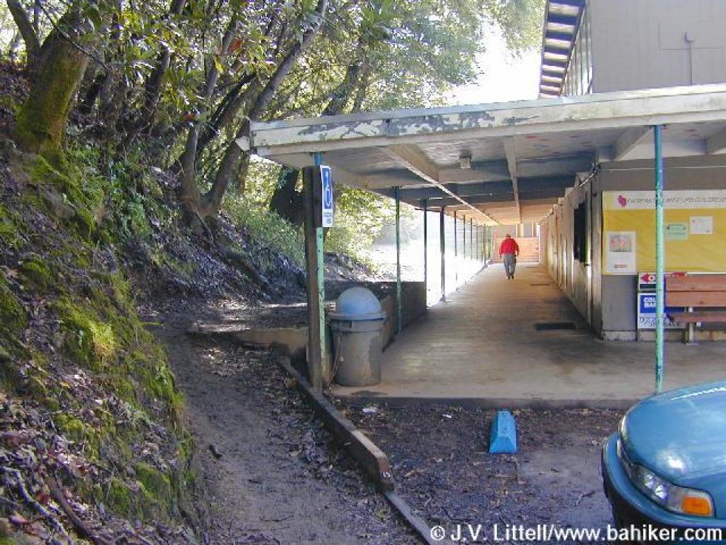 Trail starts to the left of the school |
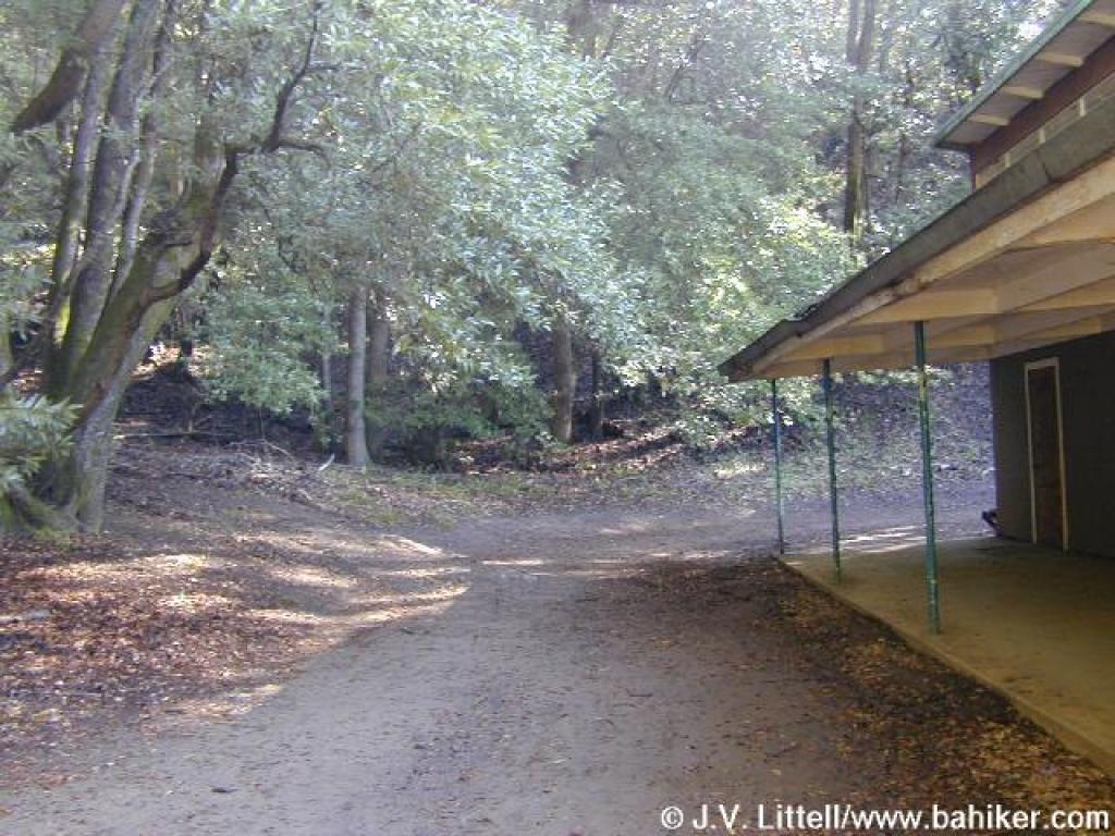 Skirting the school |
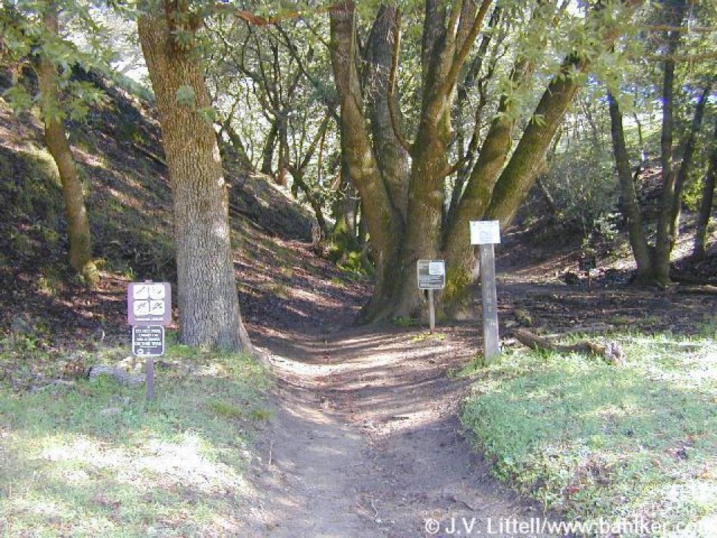
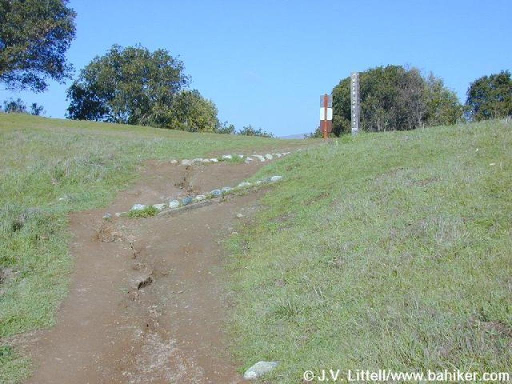
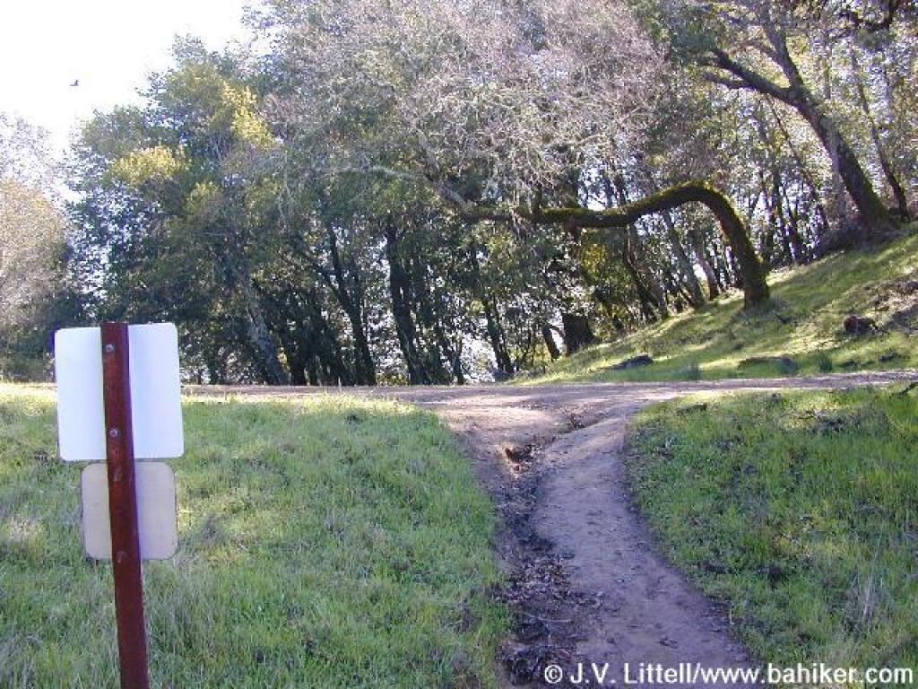
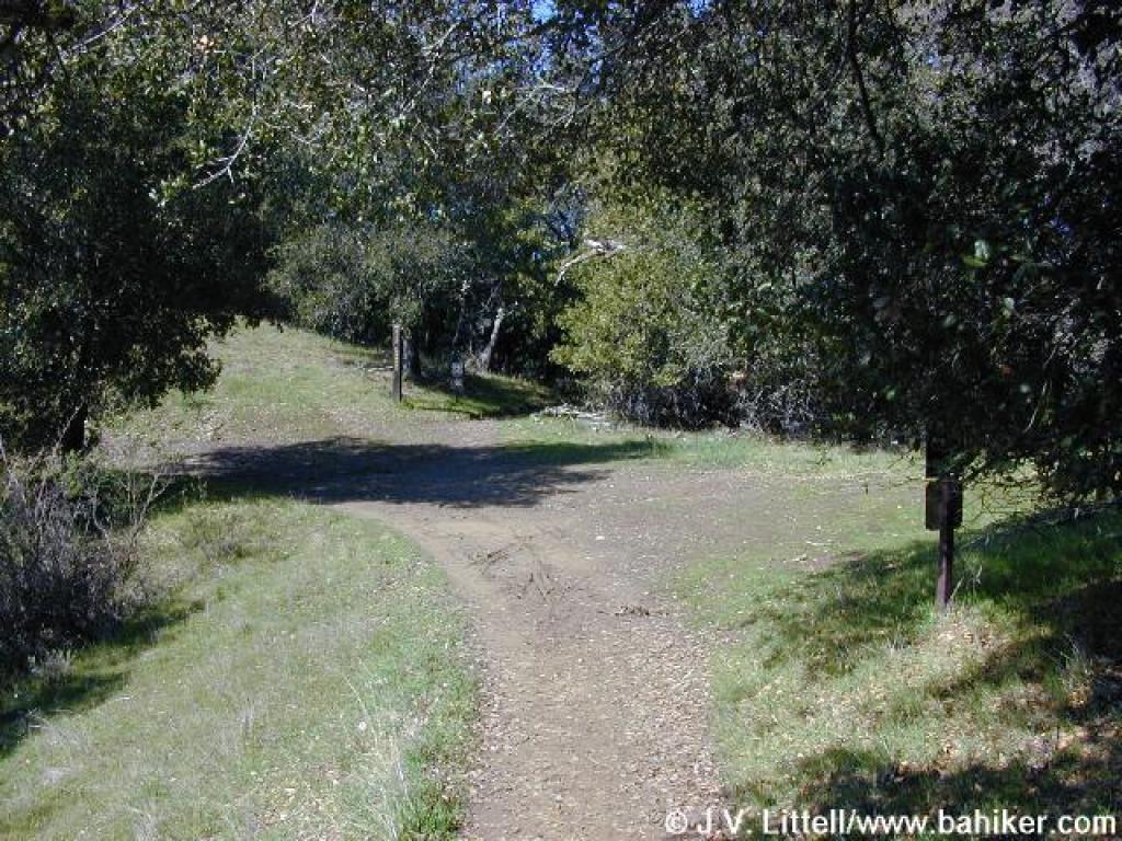
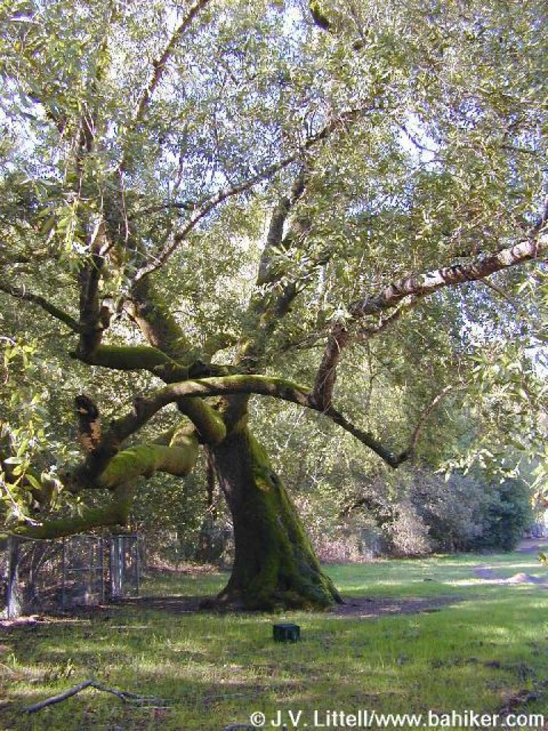
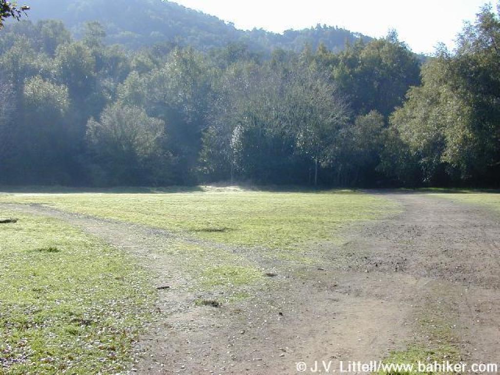 Junction in a field |
||||
 Starting Deer Park Trail |
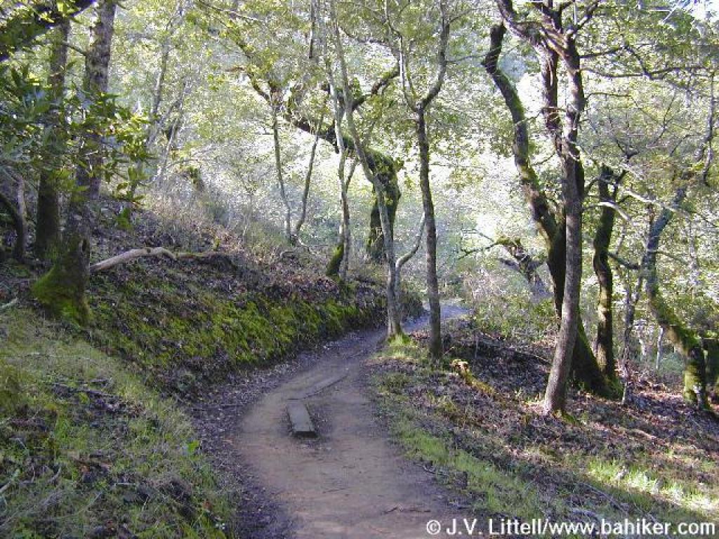
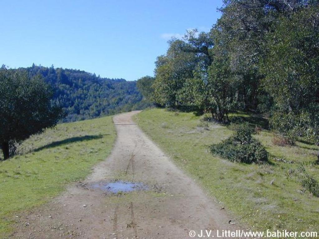
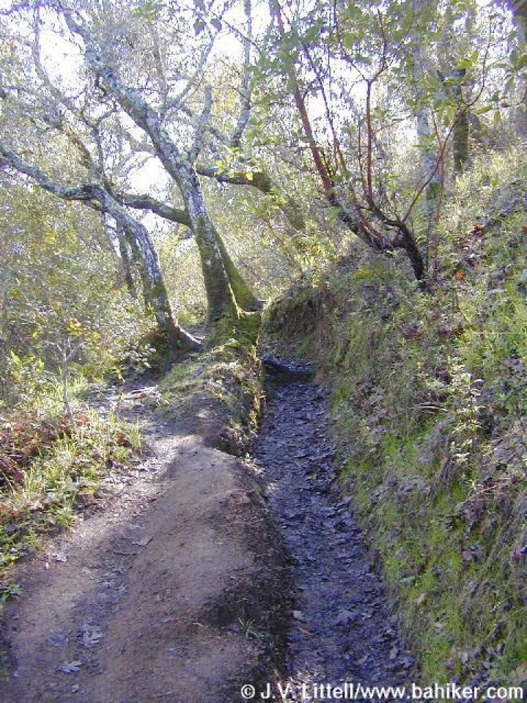
 Deer Park Trail |
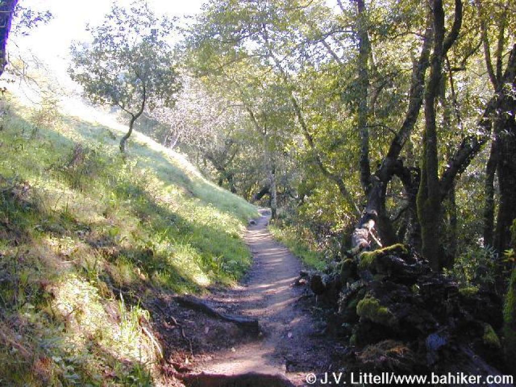 Woods |
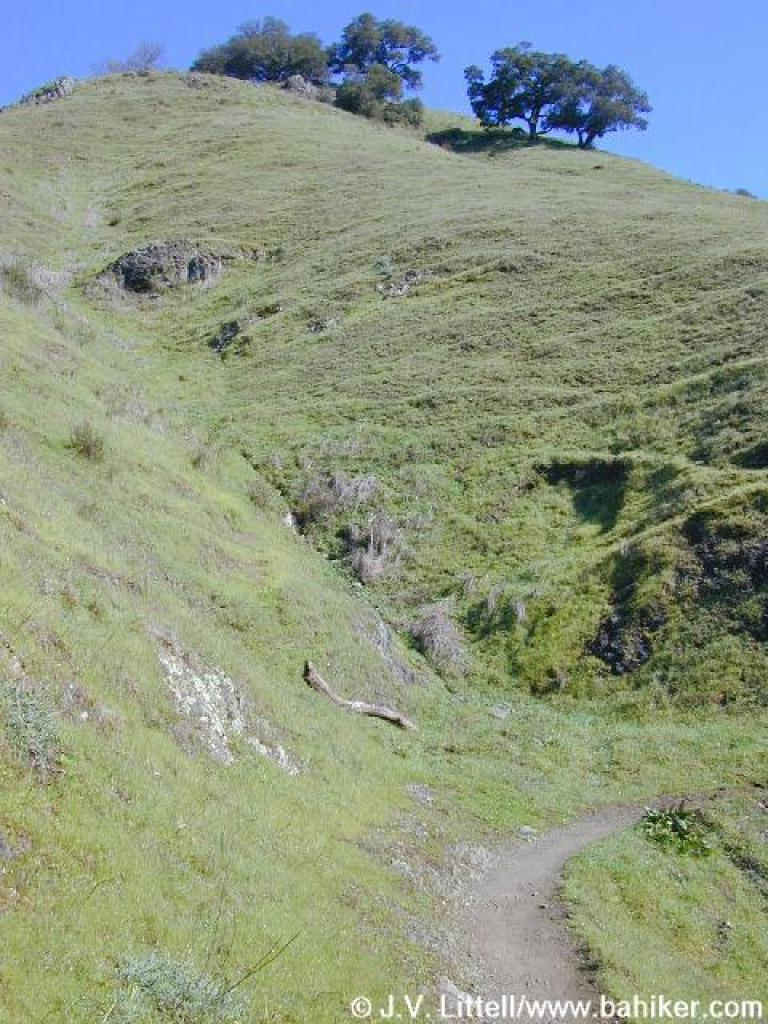 Grassland |
||||
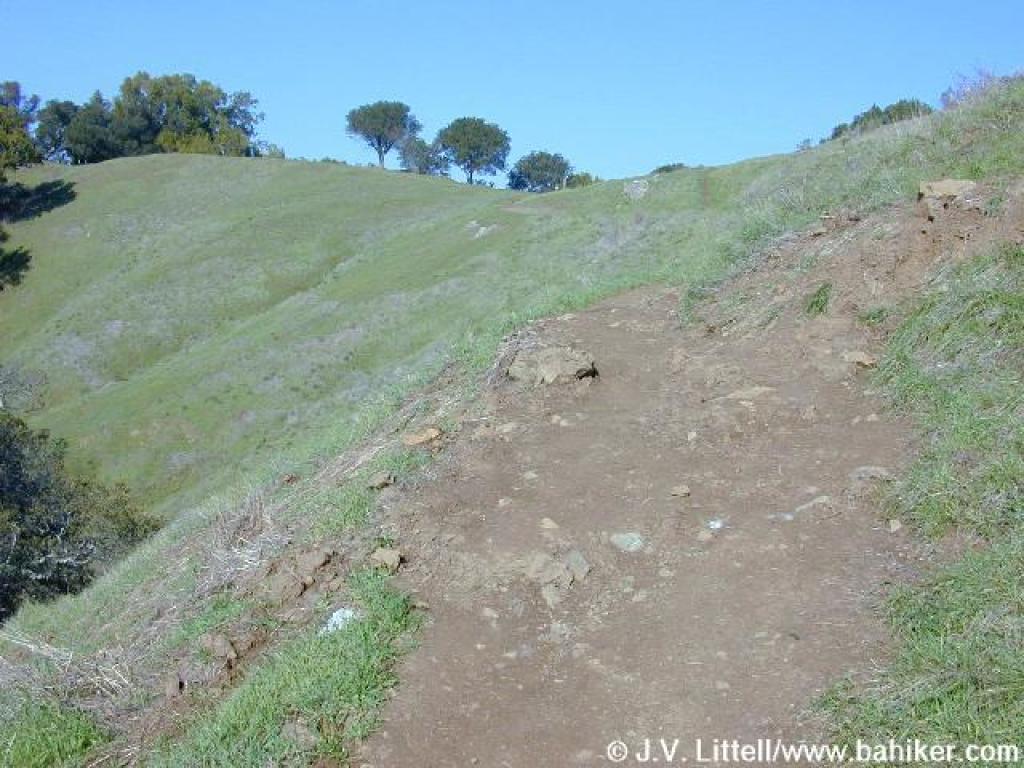
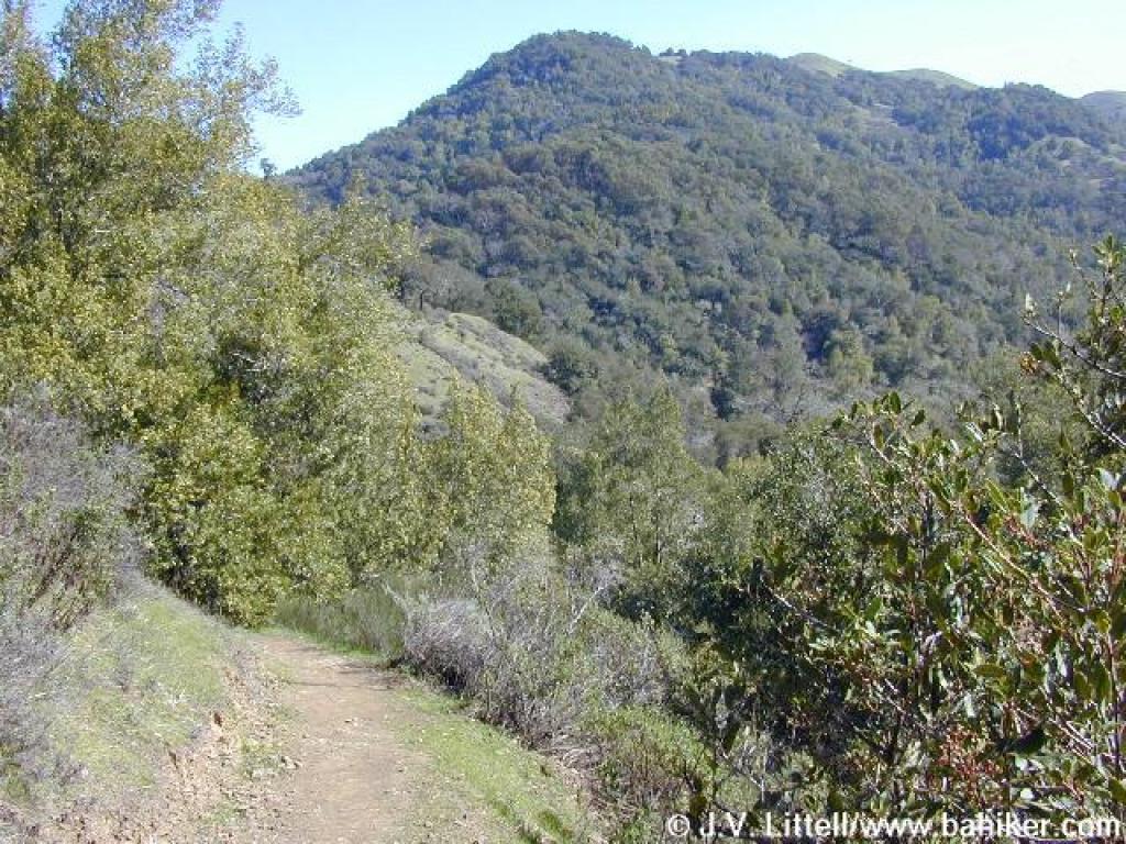
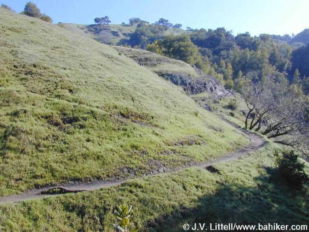 Angling across the hillside |
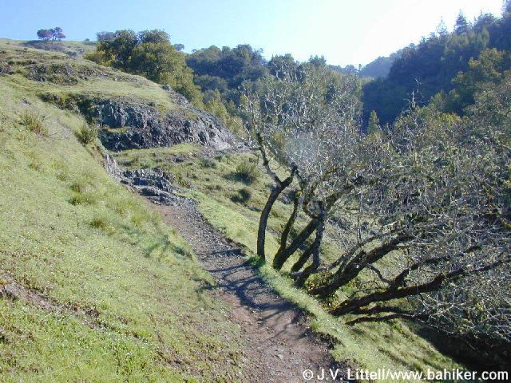 Buckeyes along the trail |
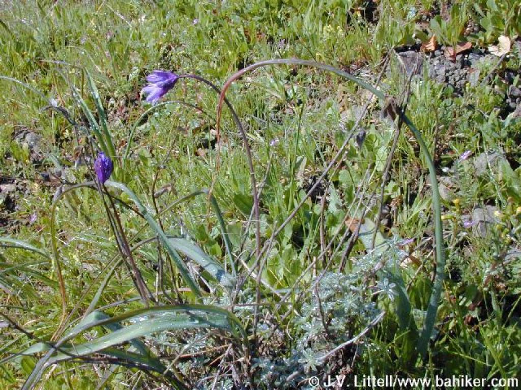 Bluedicks |
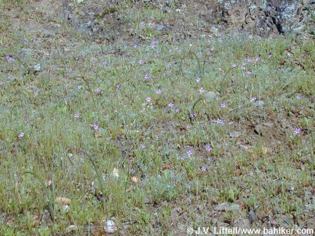 Filaree |
||||
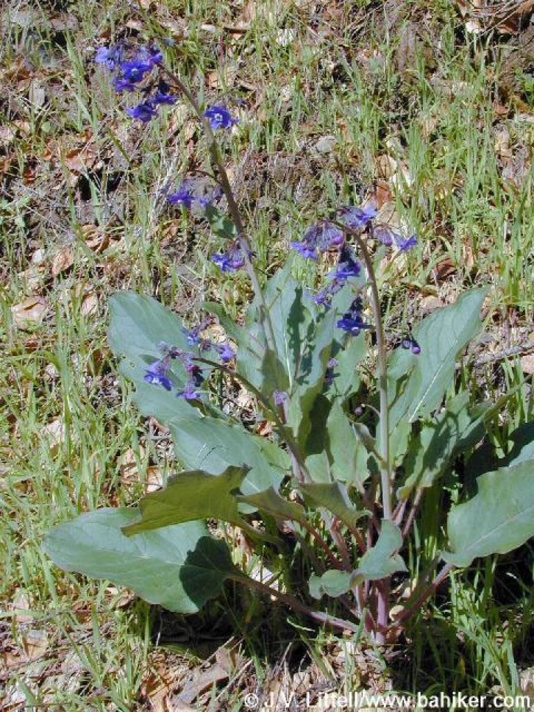 Hound's tongue |
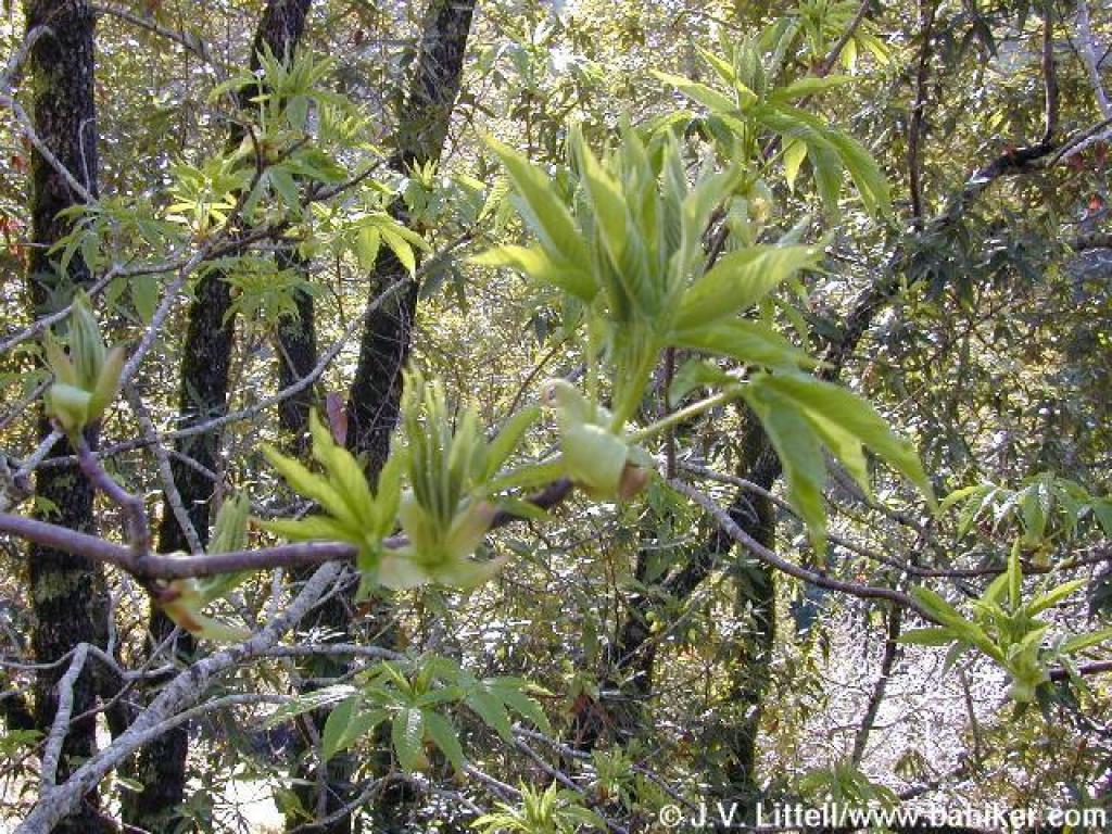 Buckeye |
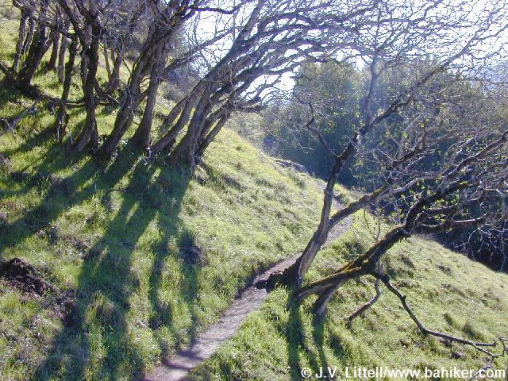
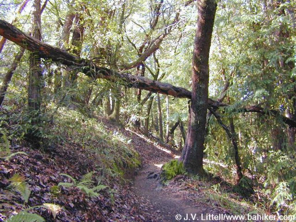
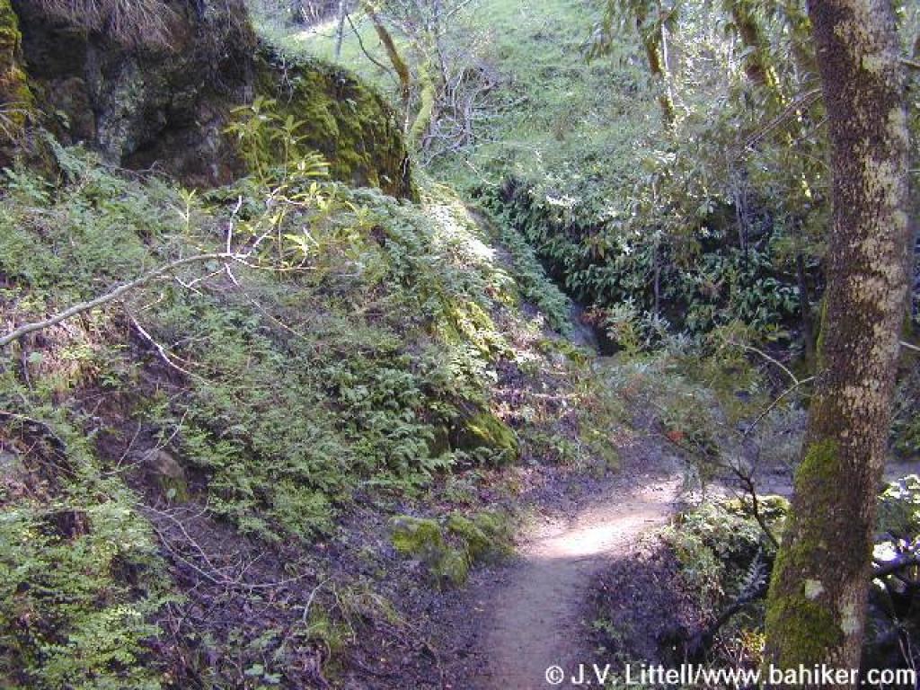 Woods again |
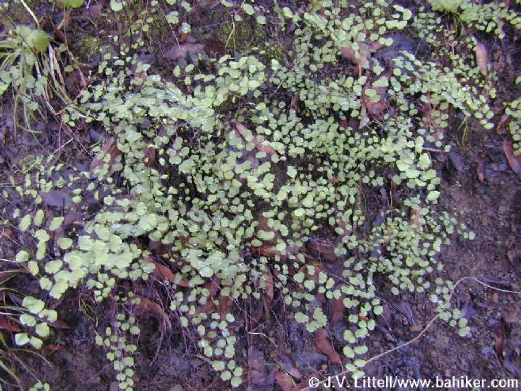 Maidenhair ferns |
||||
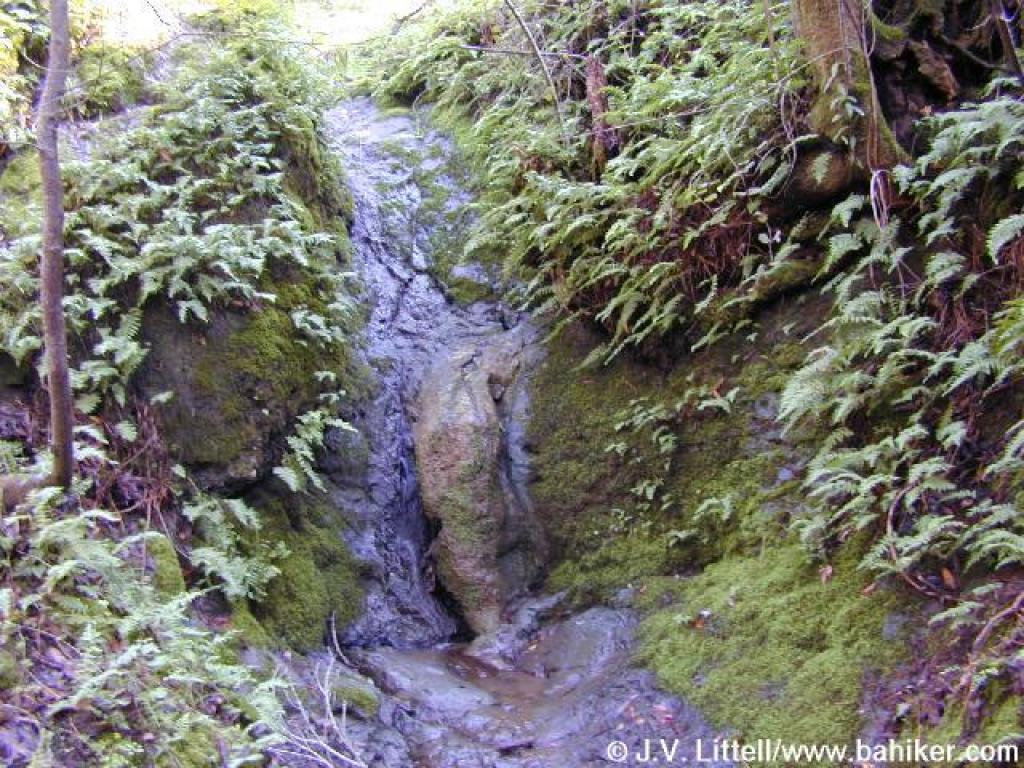 Waterfall |
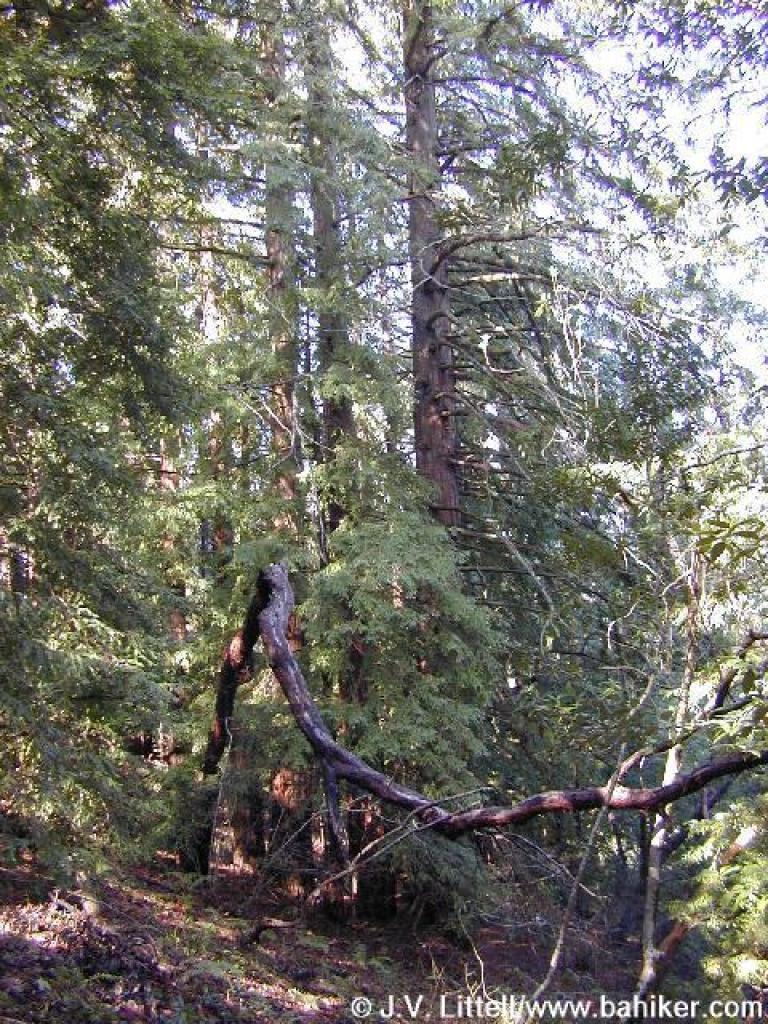
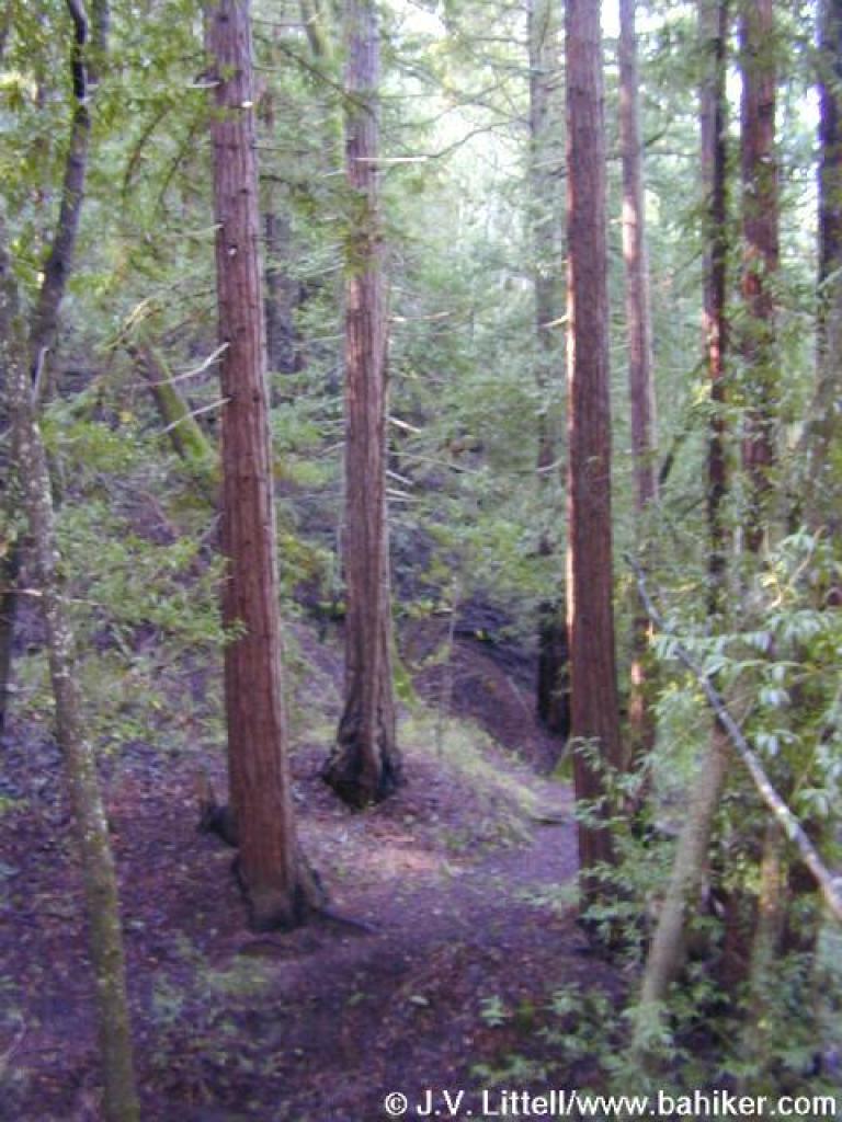 Redwoods |
 Ascending through the woods |
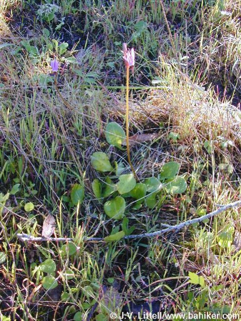
 Shooting stars |
||||
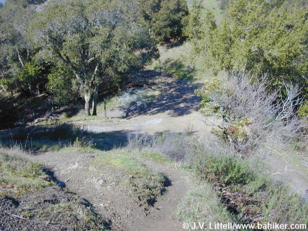
 Grassland |
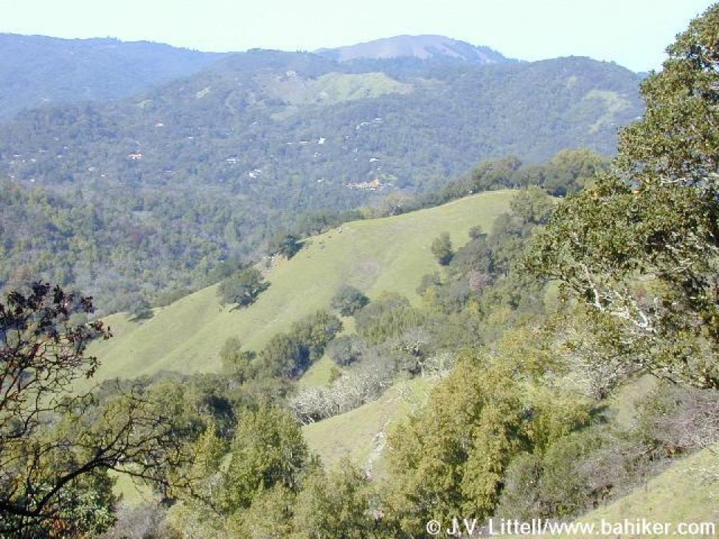
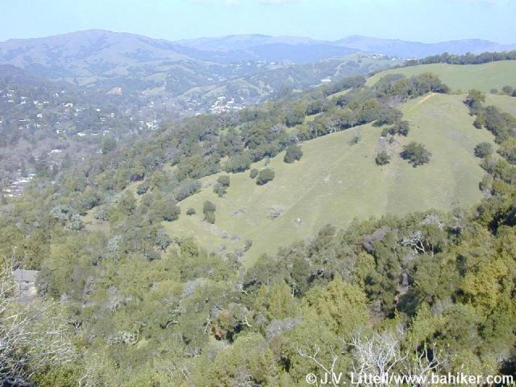
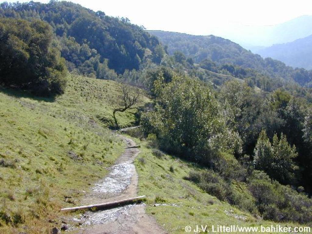
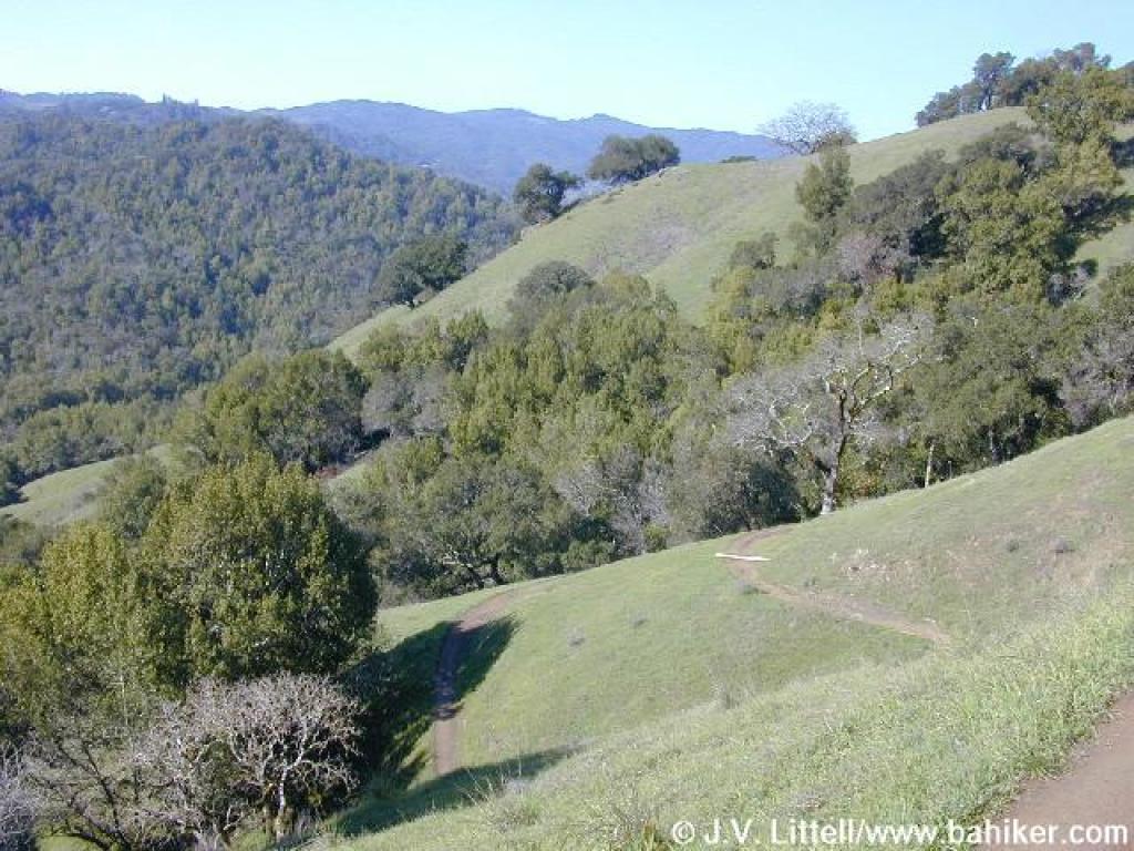 View |
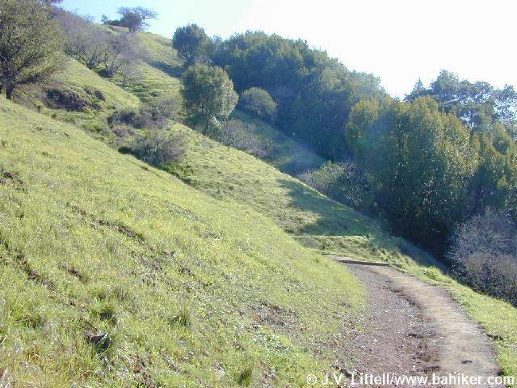
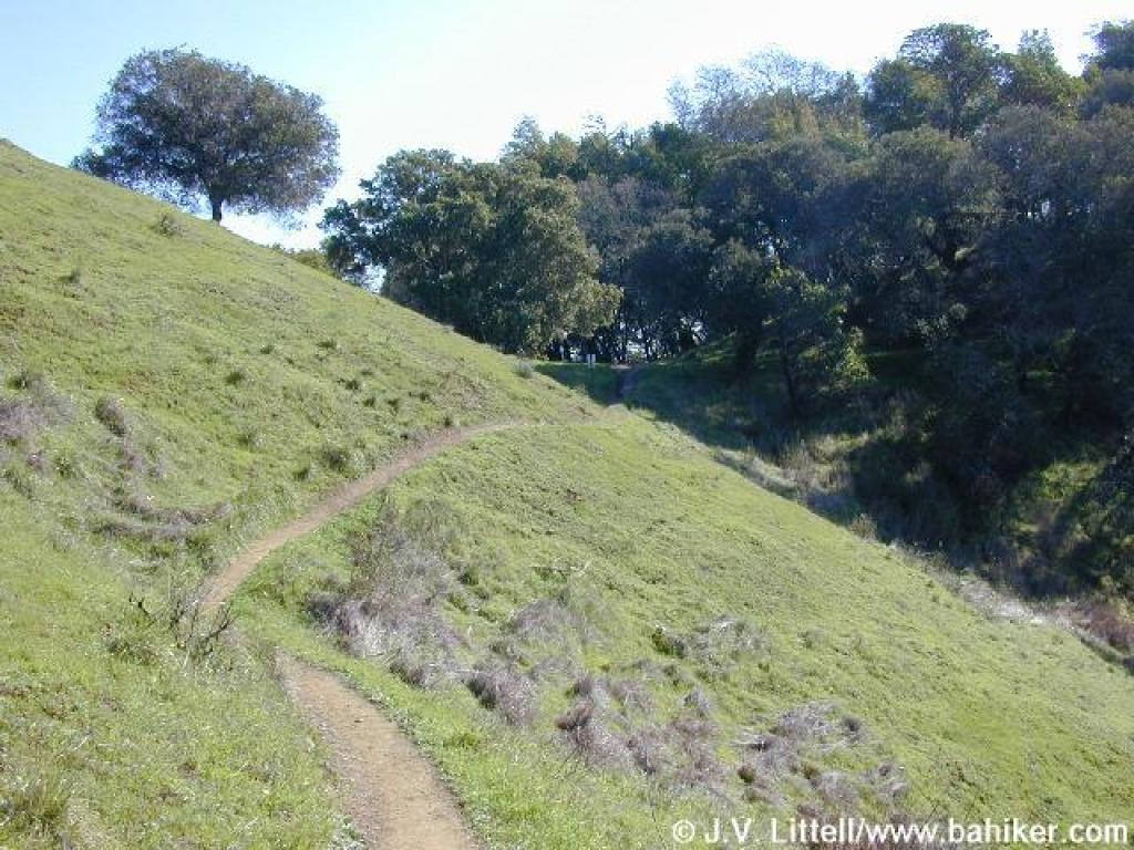
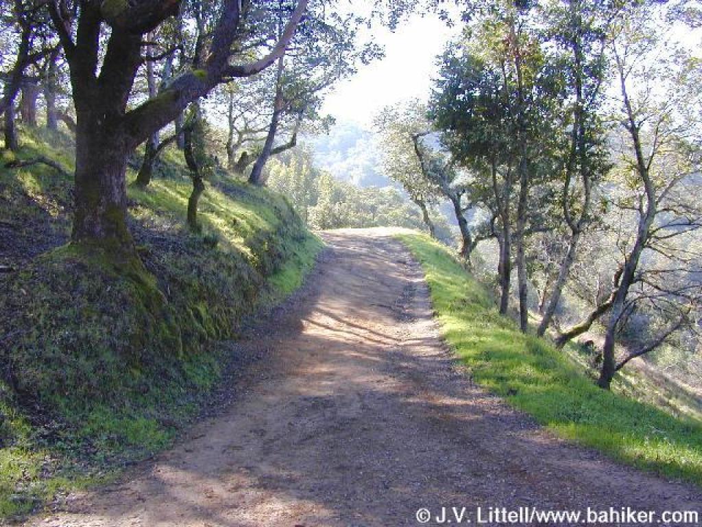
 Deer Park Trail |
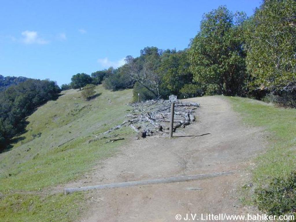
 Junction |
||||
 Approaching junction with Buckeye Trail |
 View north |
 Buckeyes |
 Buckeye Trail |
||||
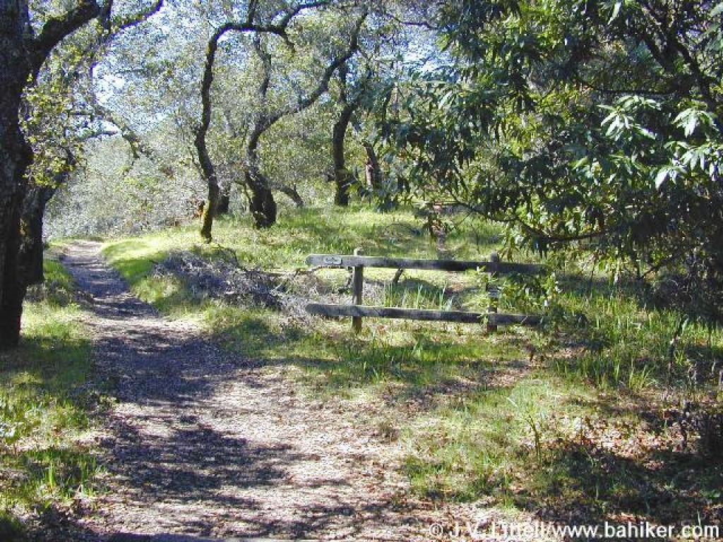
 Junction |
 Worn Spring Fire Road |
 View north |
 Approaching junction |
||||
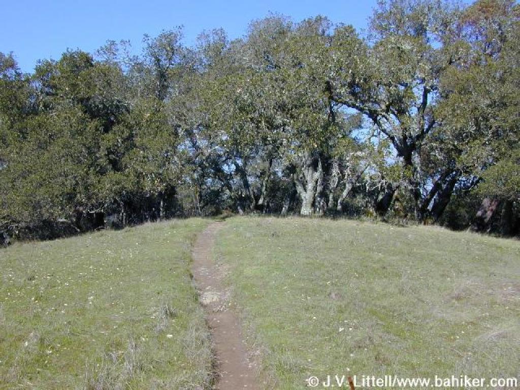
 Yolanda Trail |
 Shooting stars |
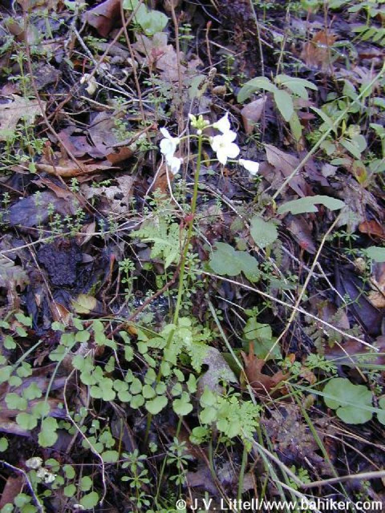 Milkmaids |
 Yolanda Trail |
||||
 Pretty woods |
 View north |
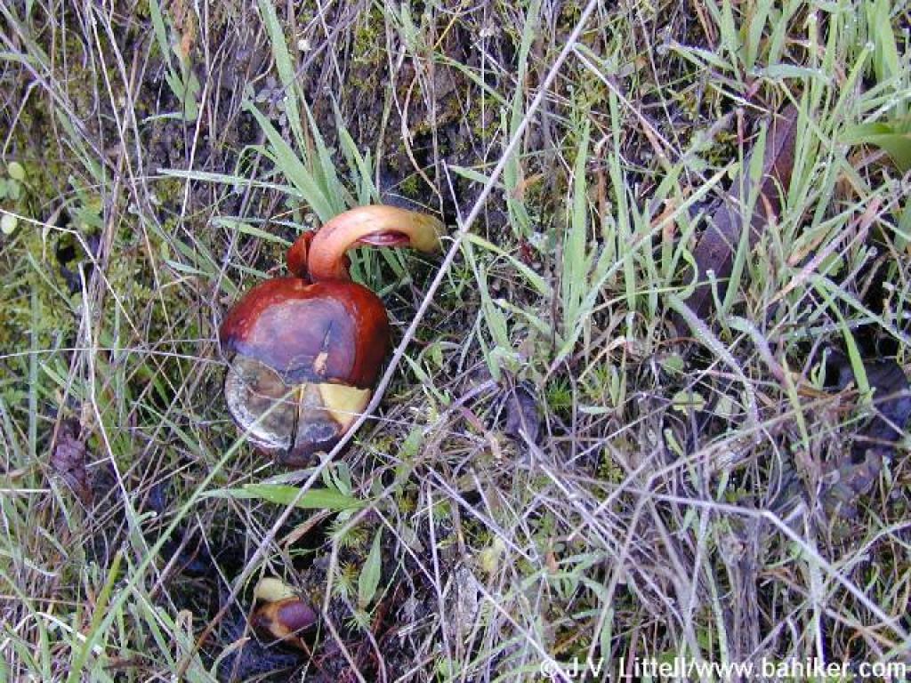 A new buckeye tree is born |
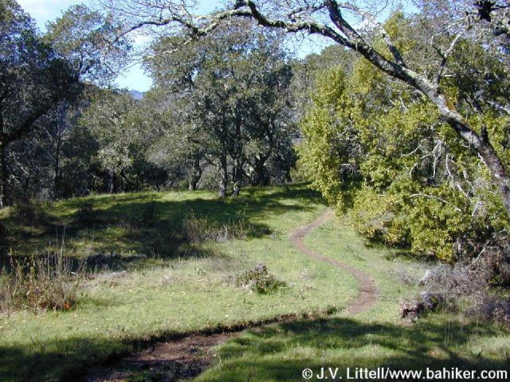
 Grassland |
||||
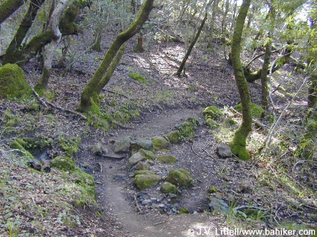 Back in the woods |
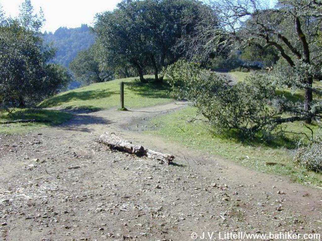 Junction |
 Bald Hill Trail |
 Sunny stretch of trail |
||||
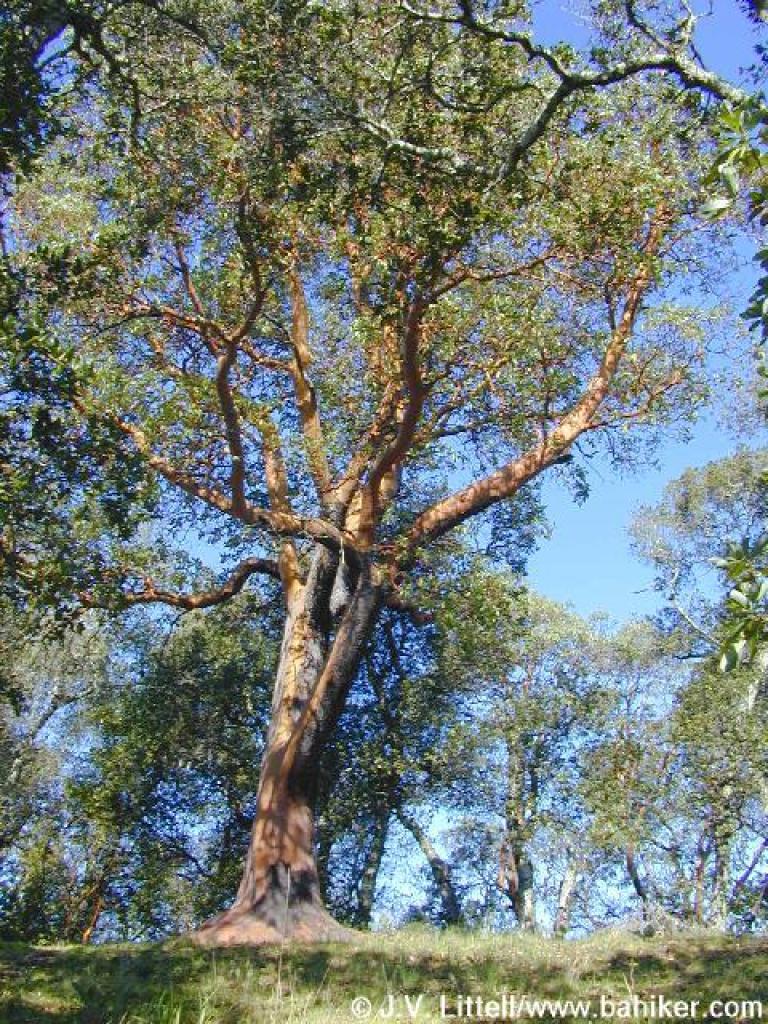
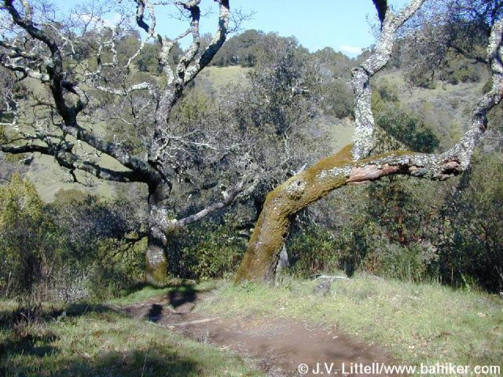
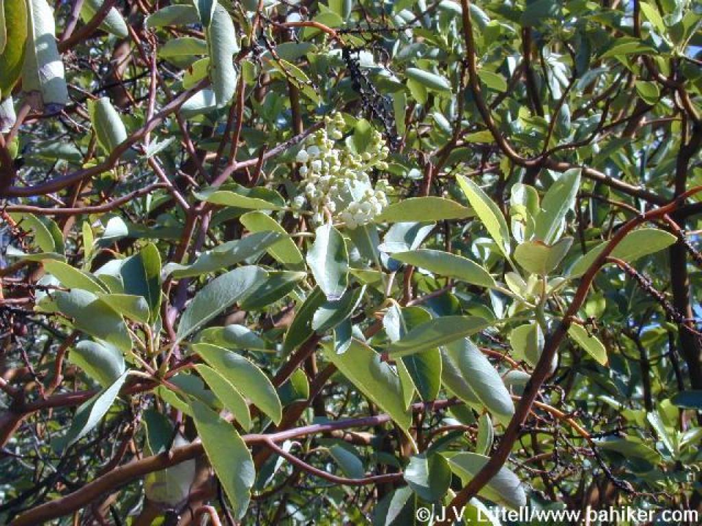 Madrone |
 View south |
 Redwoods |
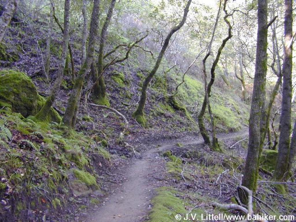
 Bald Hill Trail |
||||
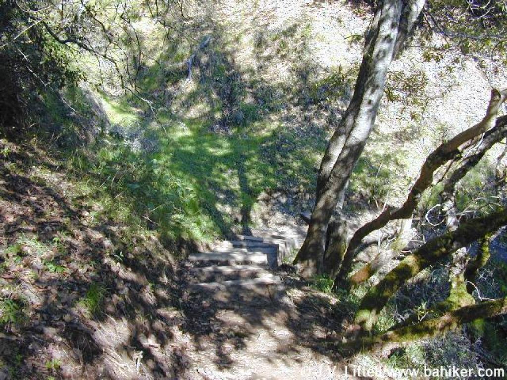
 Trail reroute |
 Madrone |
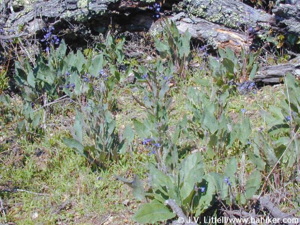 Hound's tongue |
 Junction |
||||
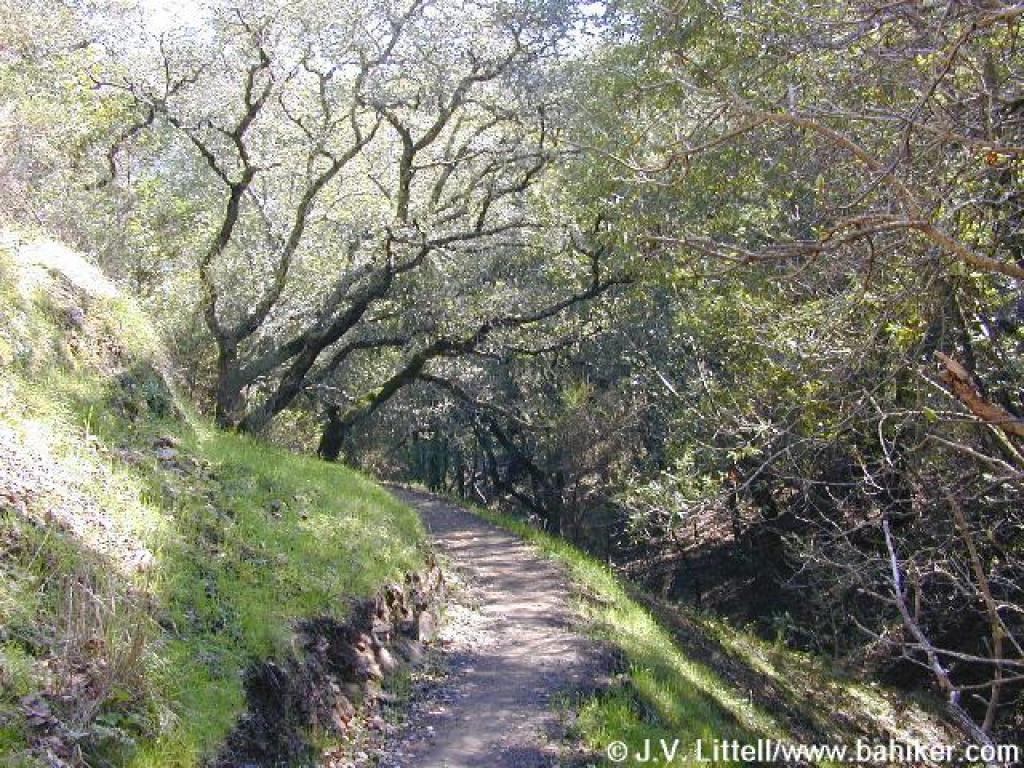
 Bald Hill Trail |
 Trail and coast live oaks |
 Trail winds through grass |
 Black oaks along the trail |
||||
 Looking back uphill |
 Approaching junction |
 Junction Trail |
 Buckeyes along the trail |
||||
 Trail and view |
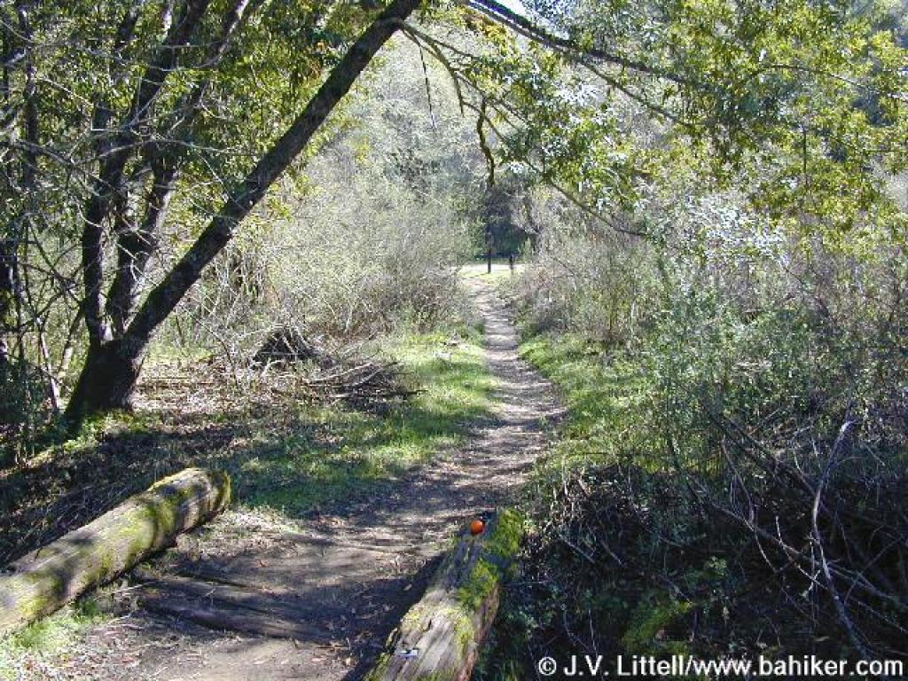 Bridge |
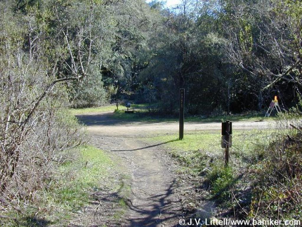 Junction |
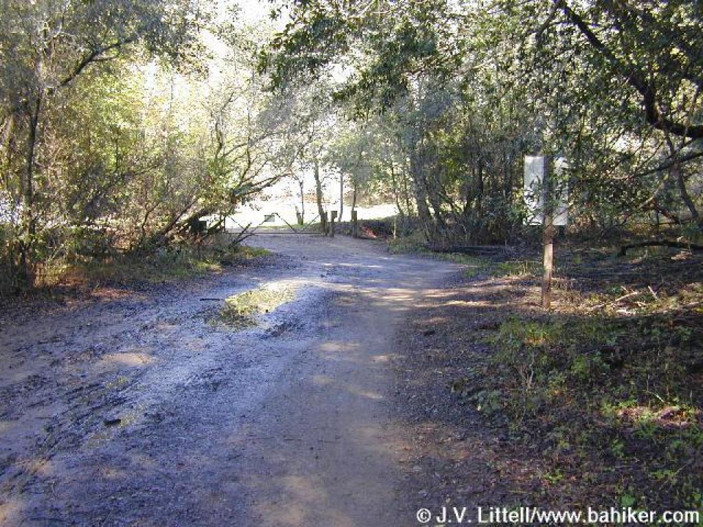
 Deer Park Fire Road |
||||
 Gate at the end of the fire road |
 California bay |
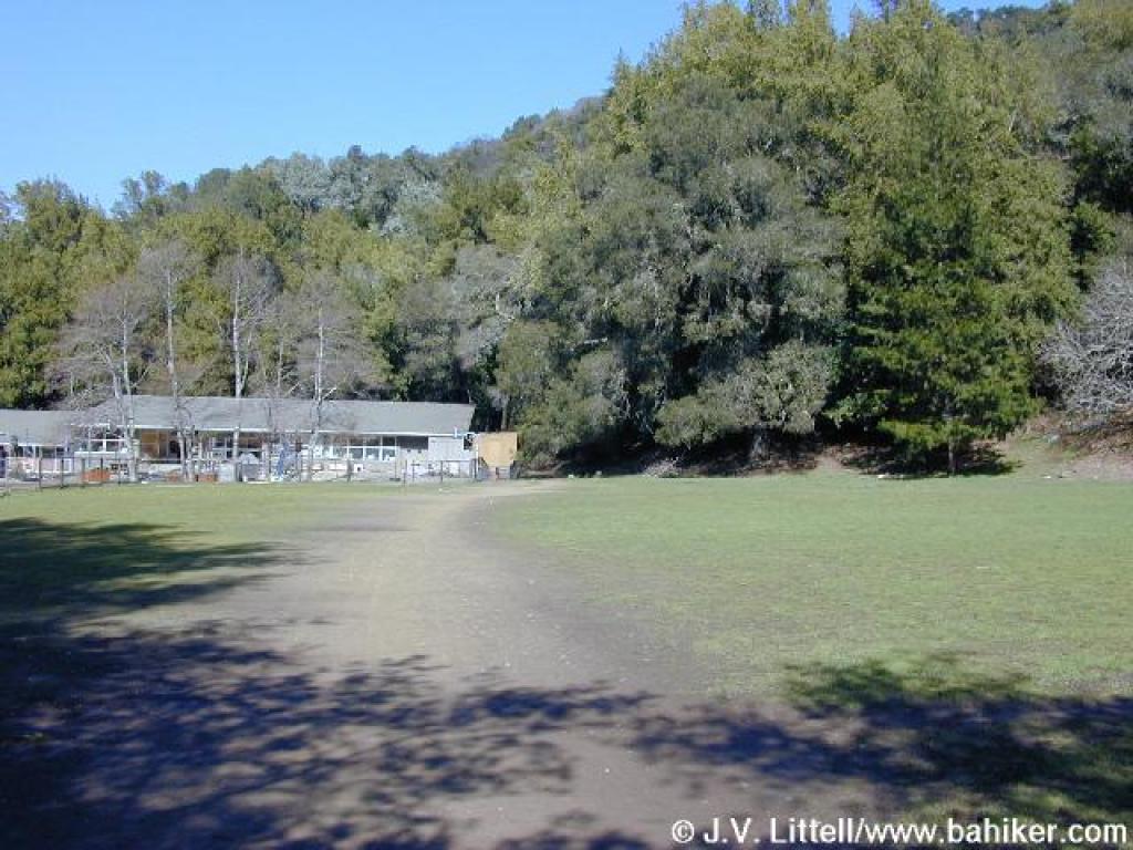 Back at school grounds |
Go to Bay Area Hiker Deer Park page Go to Bay Area Hiker Home page |
||||