| Photos
from a March 2002 hike at Foothill Regional Park (click on any image for a larger view) |
|||||||
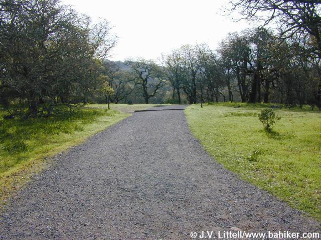
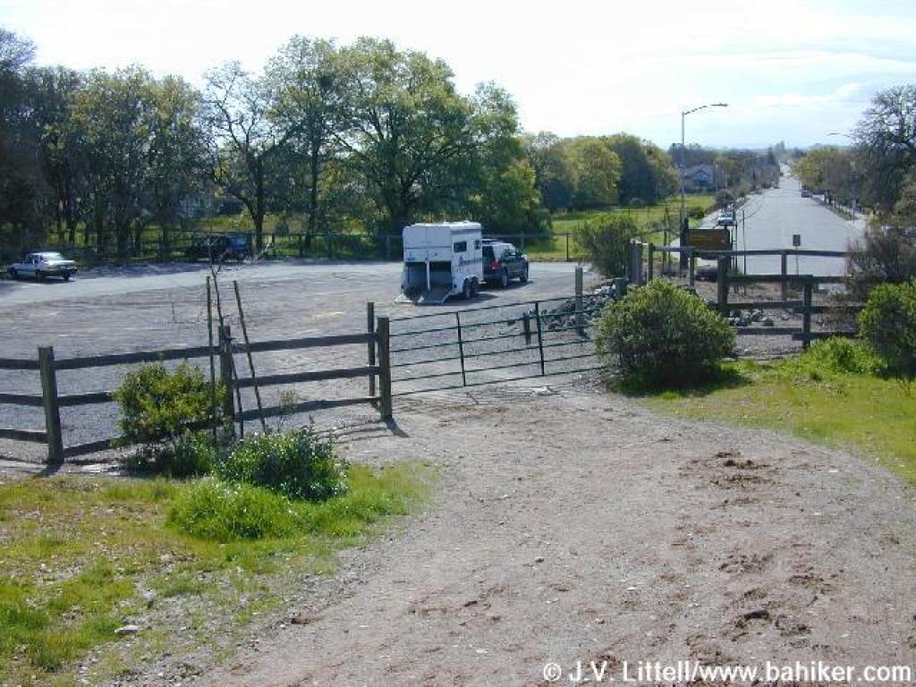
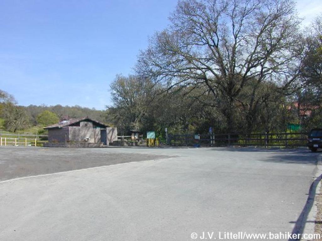 Parking lot |
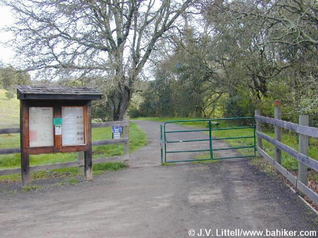 Trailhead |
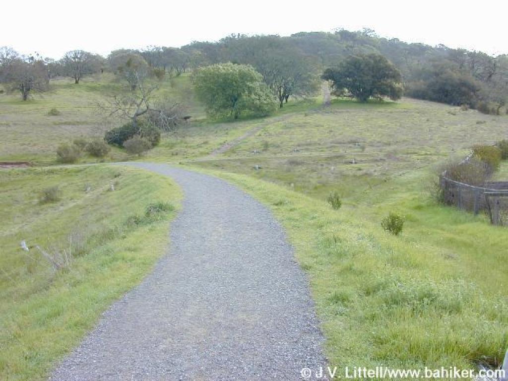
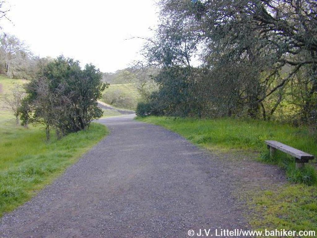 Three Lakes Trail |
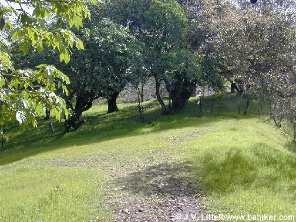
 Approaching first pond |
||||
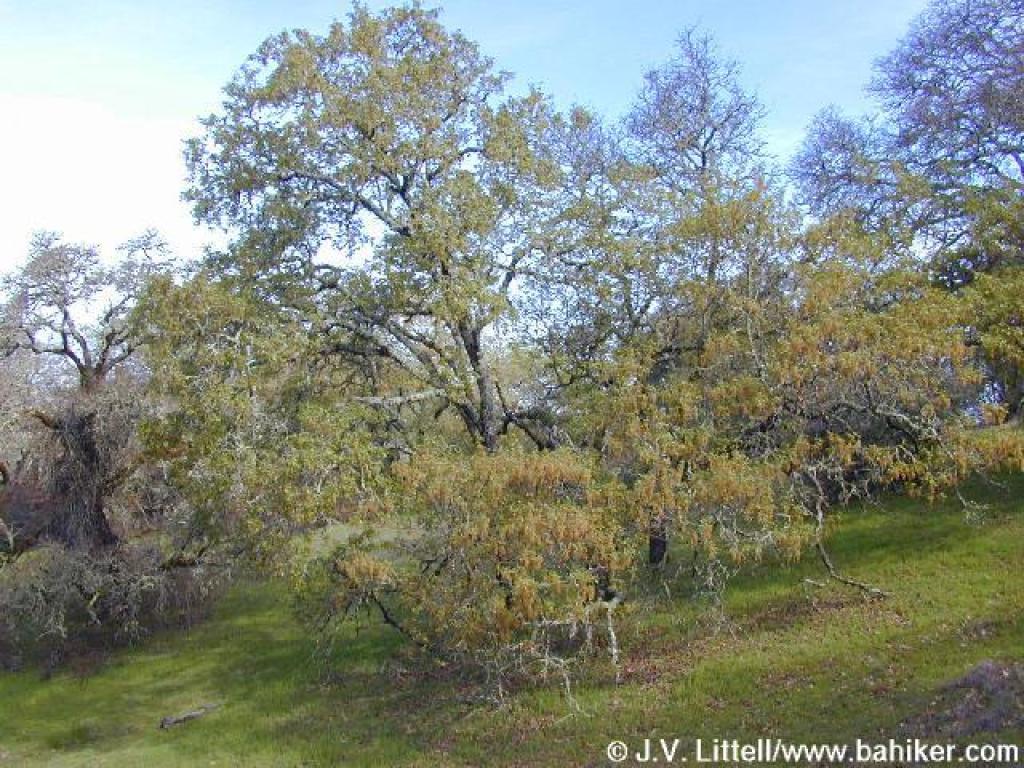
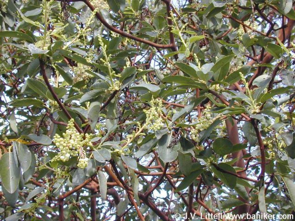 Madrone |
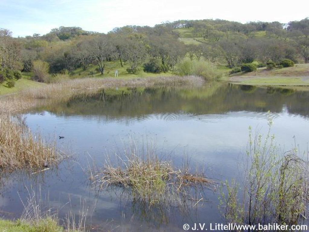
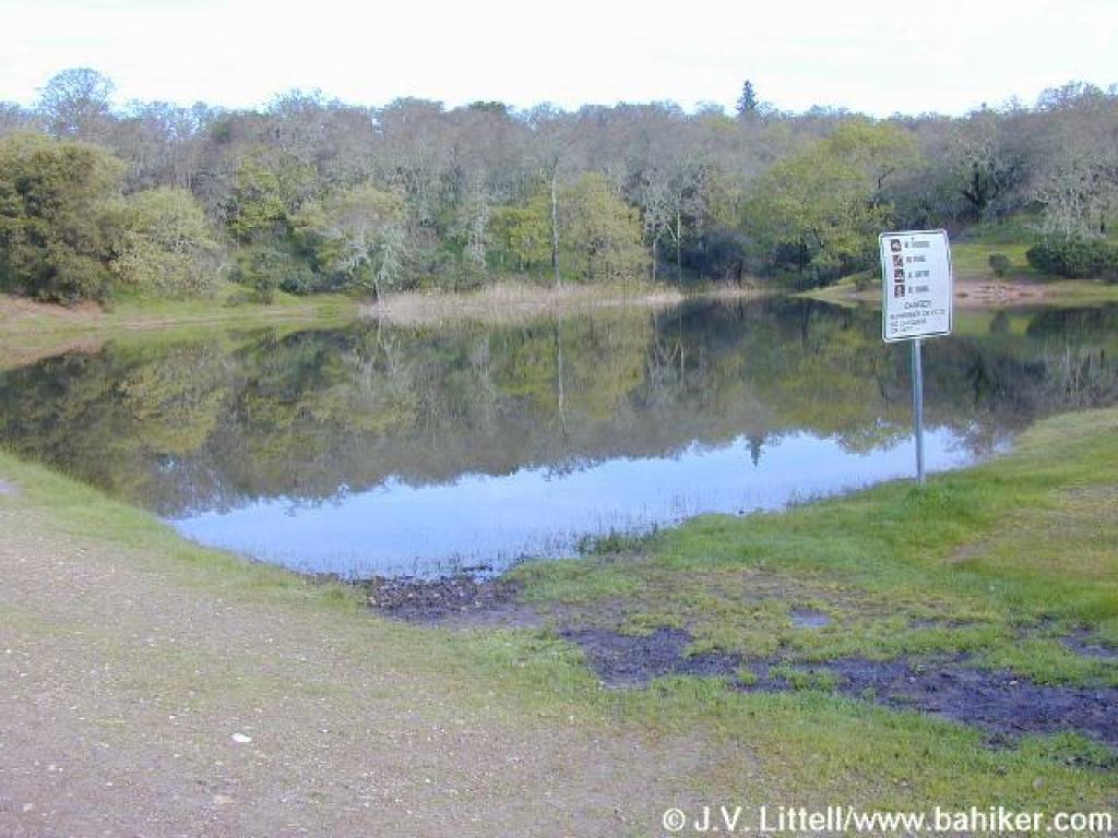 Pond |
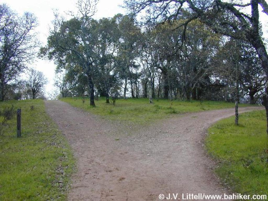
 Junction: shortcut trail veers right |
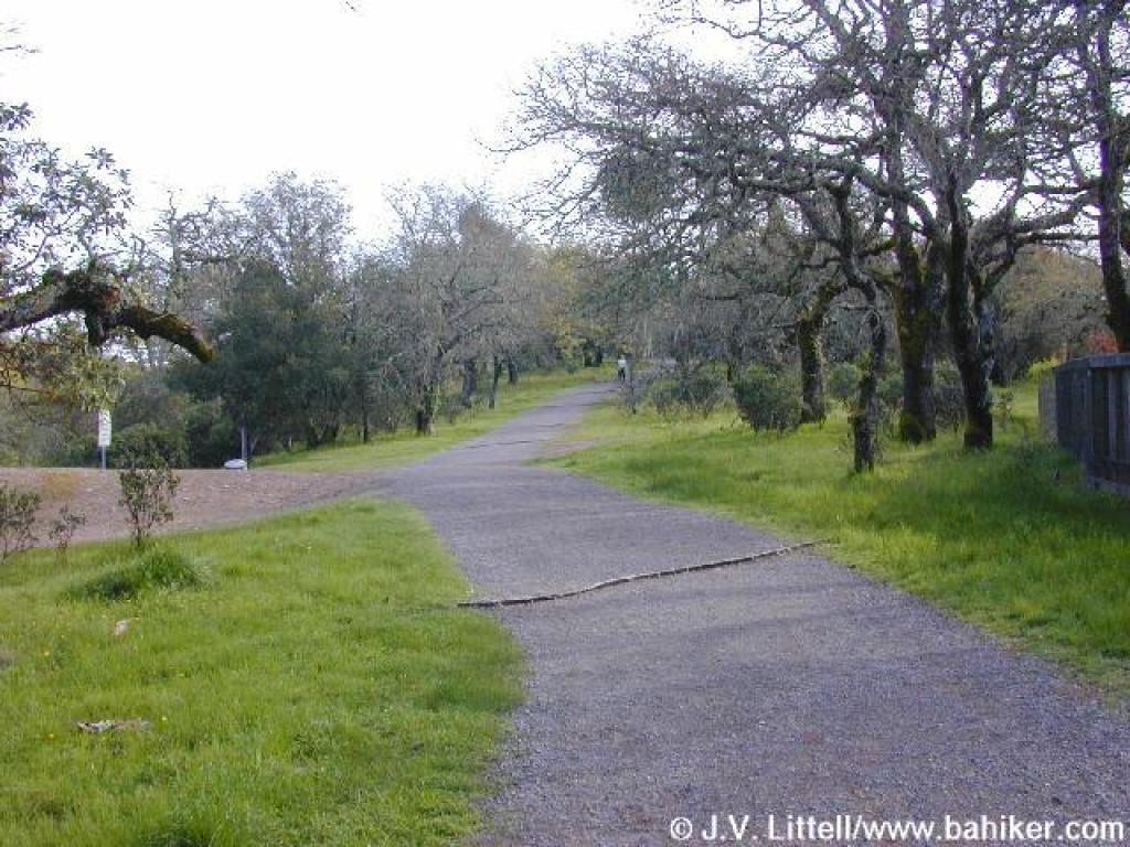
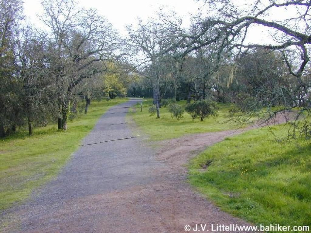
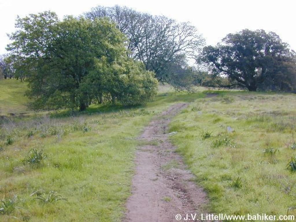
 Ascending through oaks |
||||
 Junction with Westside Trail |
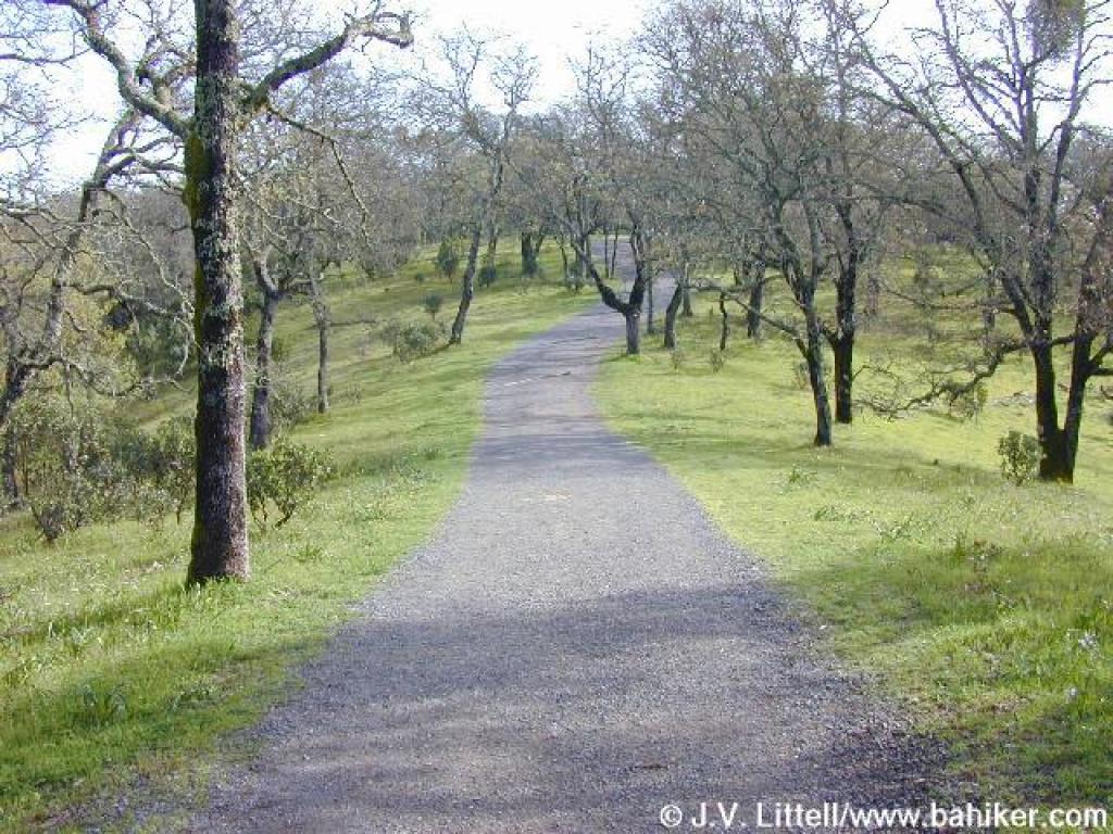
 Descending to a pond and junction |
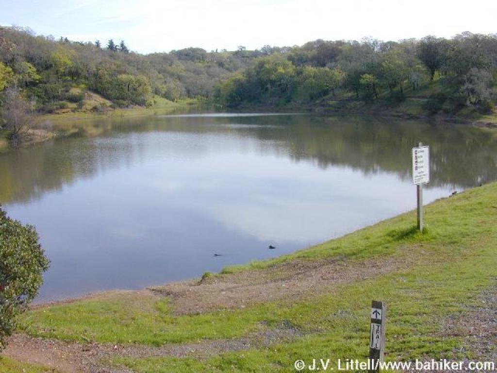 Pond |
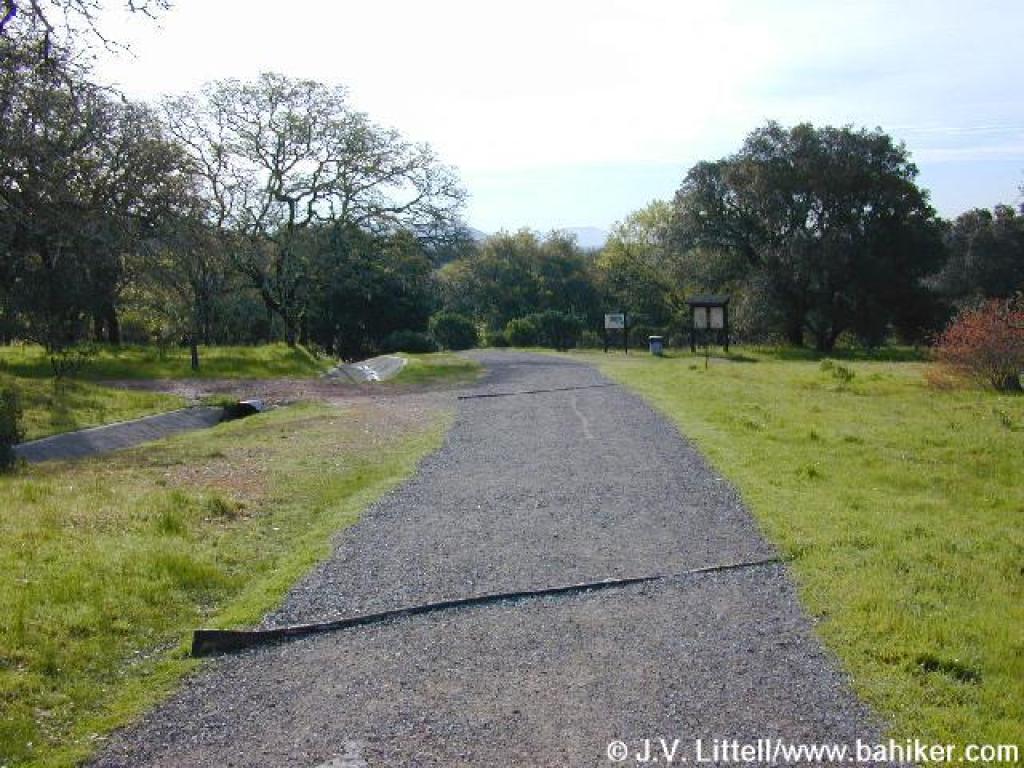 Approaching junction with Oakwood Trail |
||||
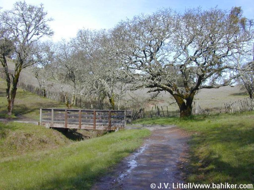
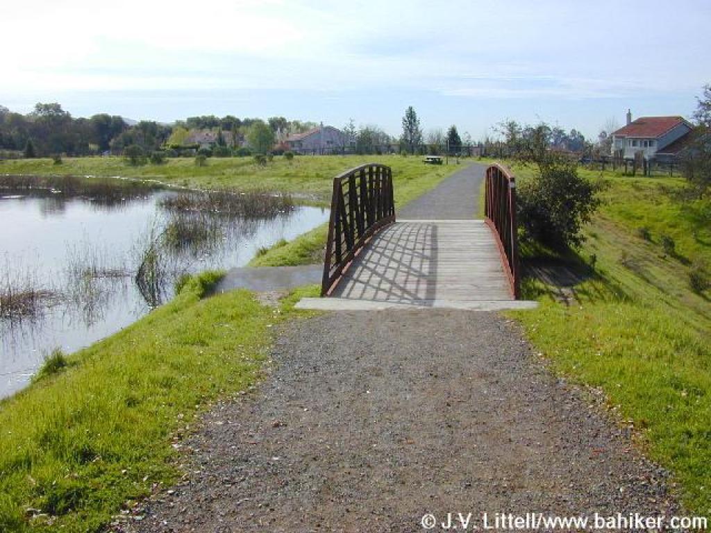 Bridge |
 Pond |
 Approaching junction with Alta Vista Trail |
 Alta Vista Trail |
||||
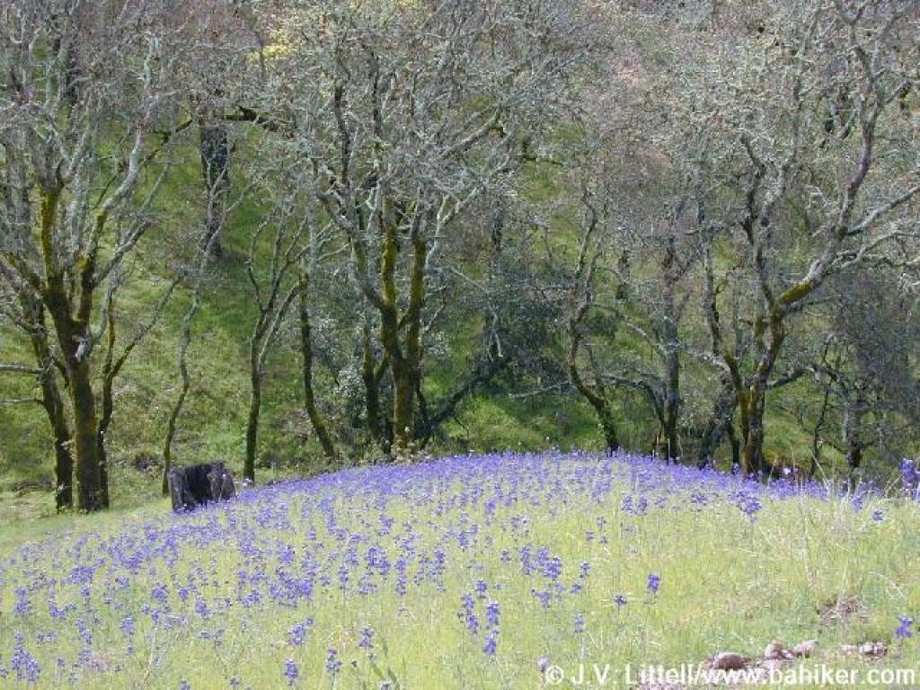
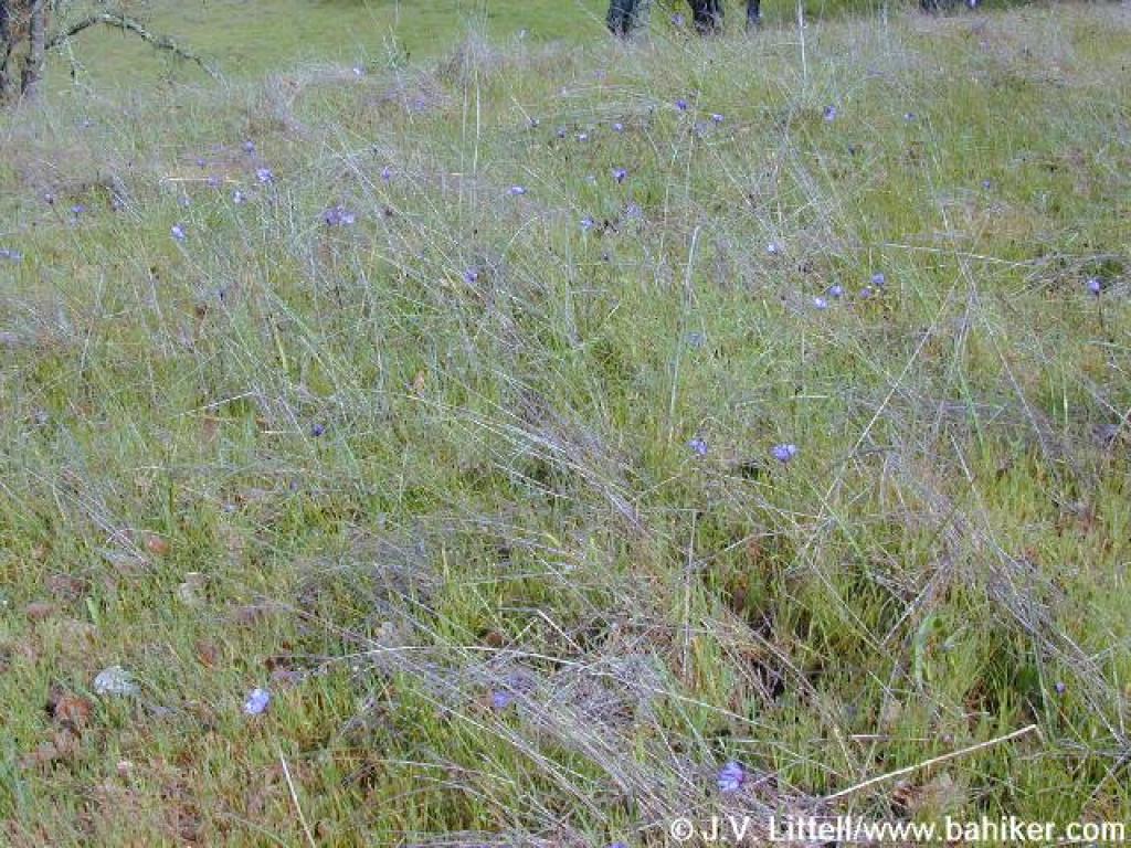 Bluedicks |
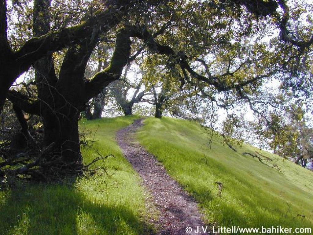
 Climbing past oaks |
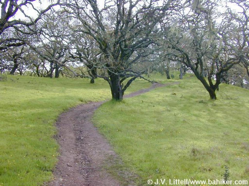
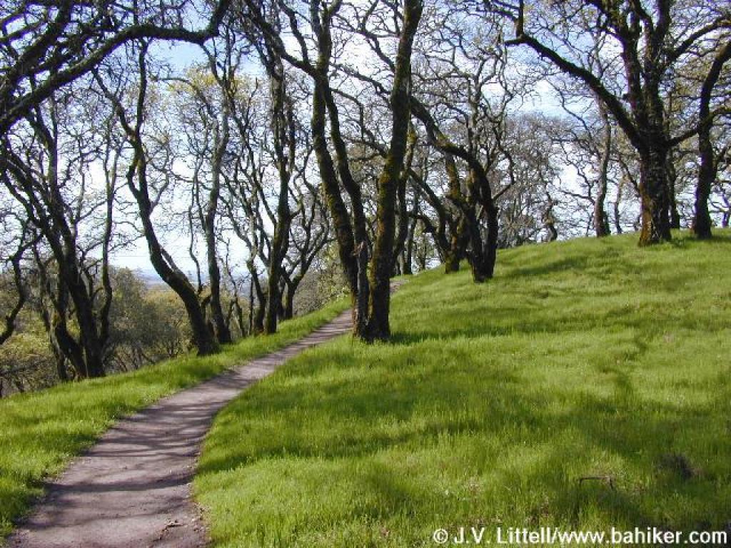
 Alta Vista Trail |
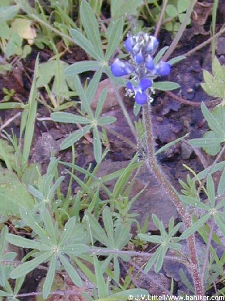 Blue & white lupine |
||||
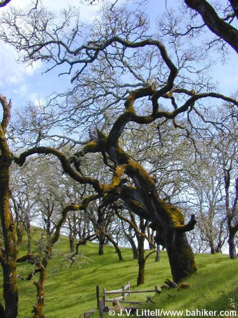
 Oregon oak |
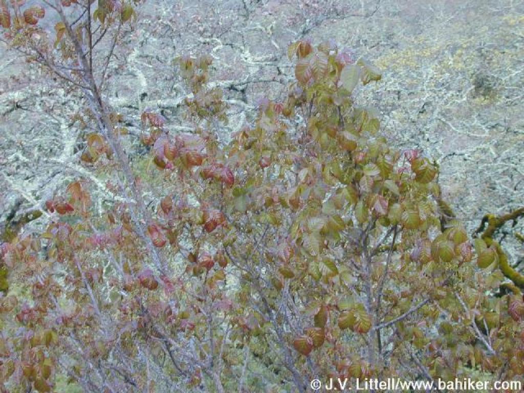 Poison oak |
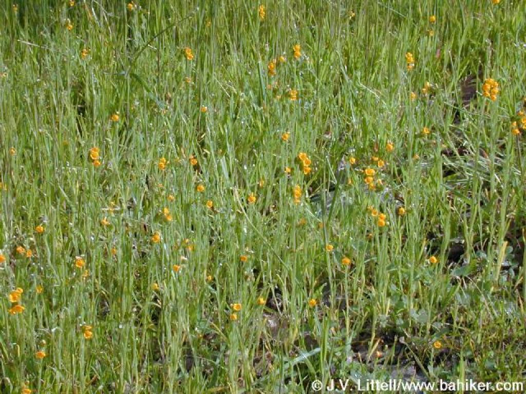 Fiddlenecks |
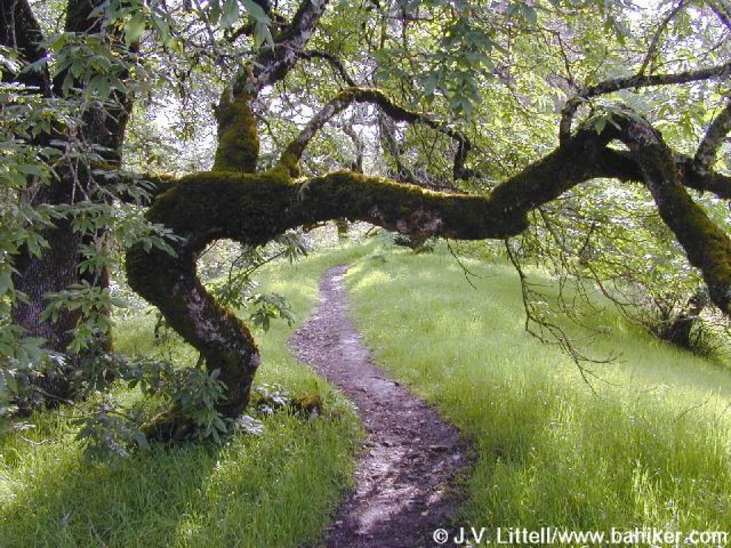 Ducking under a buckeye |
||||
 Reaching the hilltop |
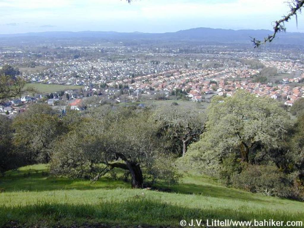 View northwest |
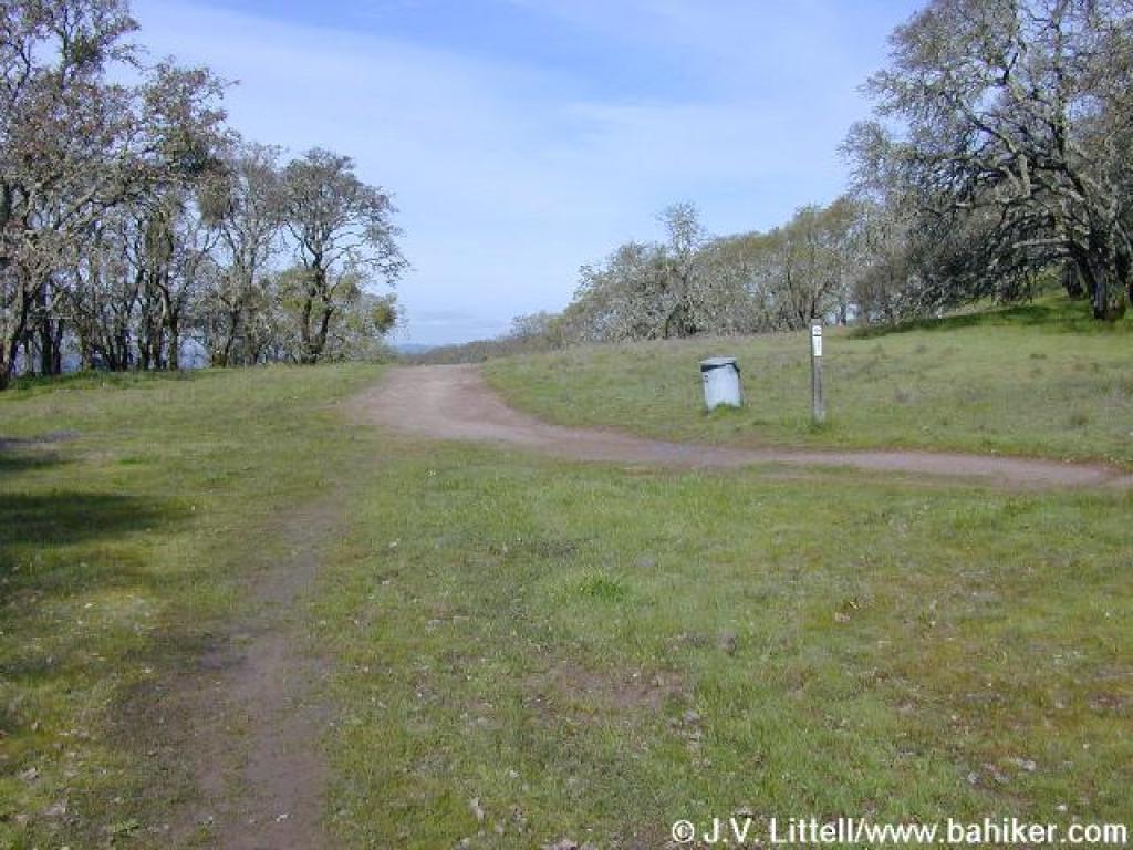
 Curving left at the park boundary |
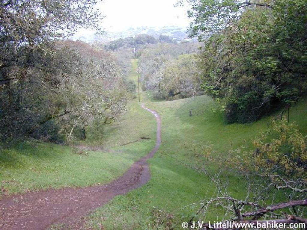 Descending |
||||
 Black oak |
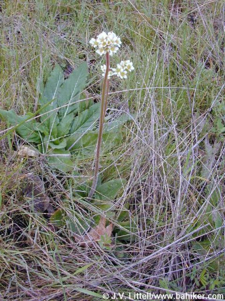 Saxifrage |
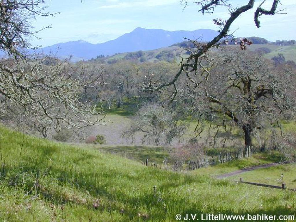
 View south to Mount St. Helena |
 Junction with Oakwood Trail |
||||
 Oakwood Trail |
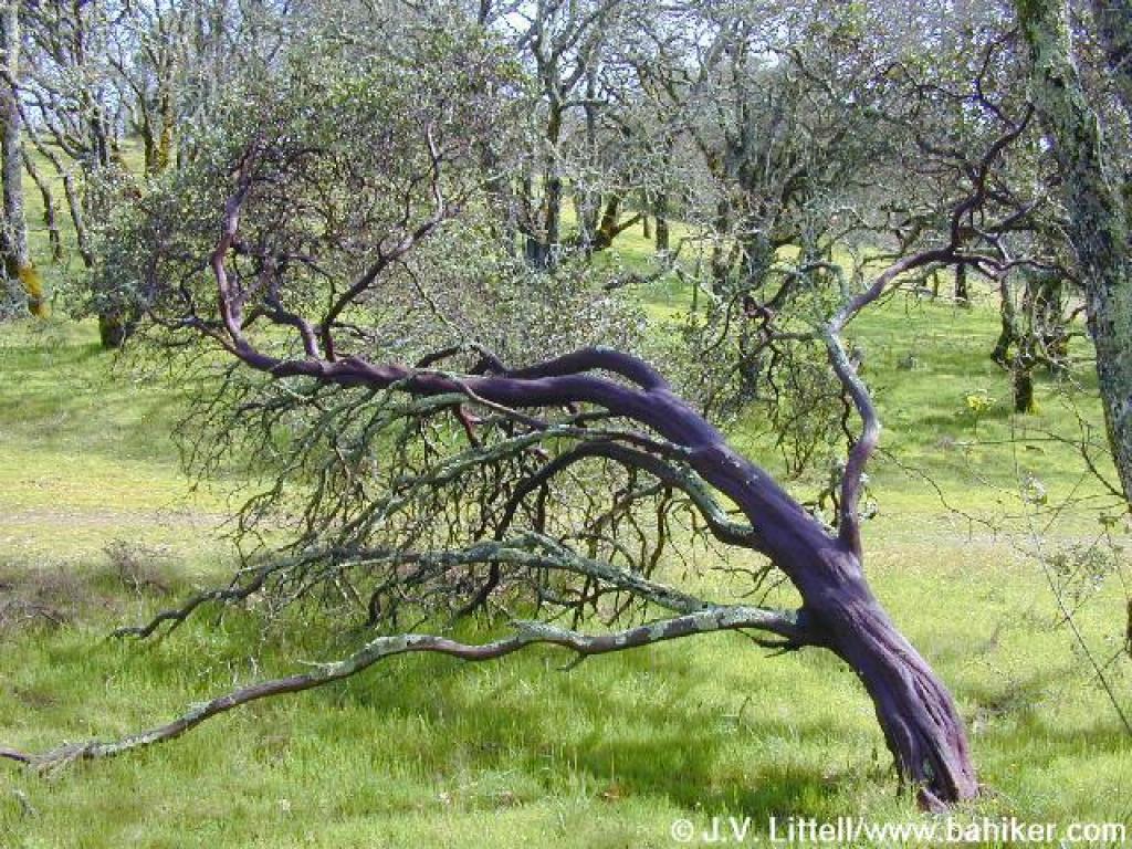 Manzanita |
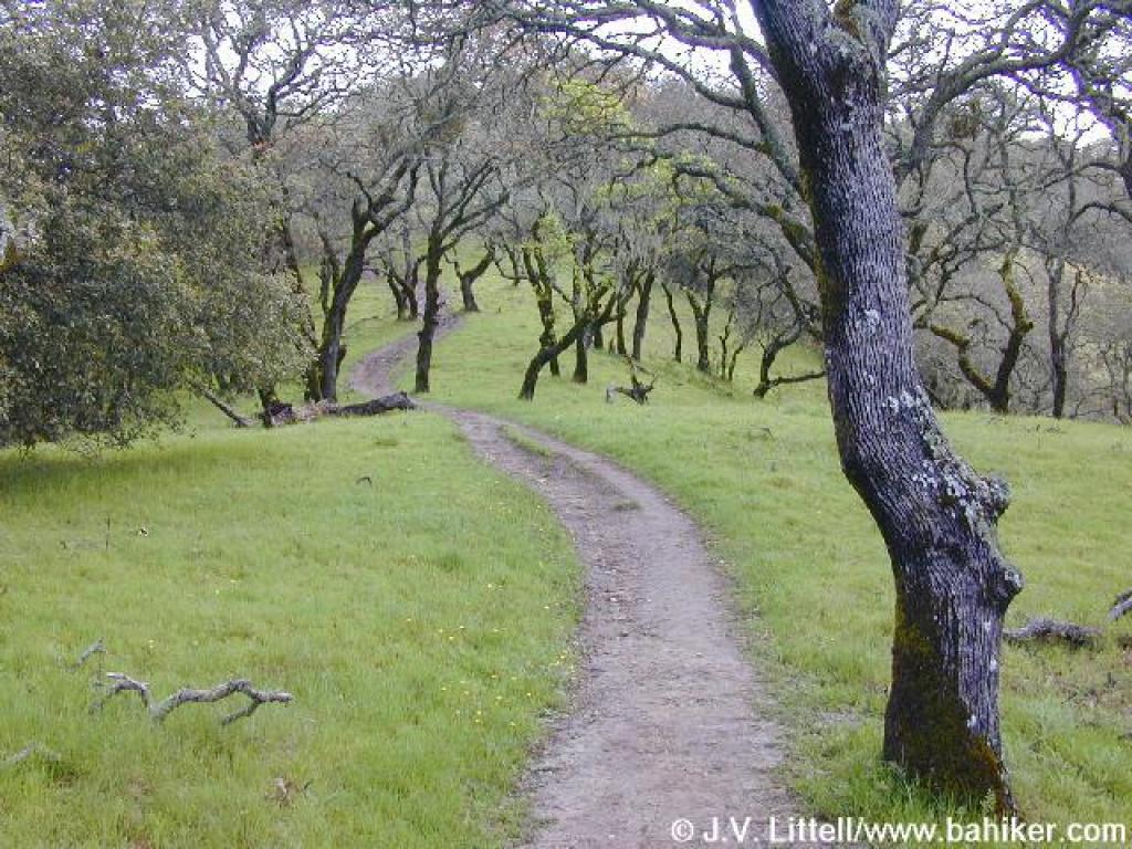
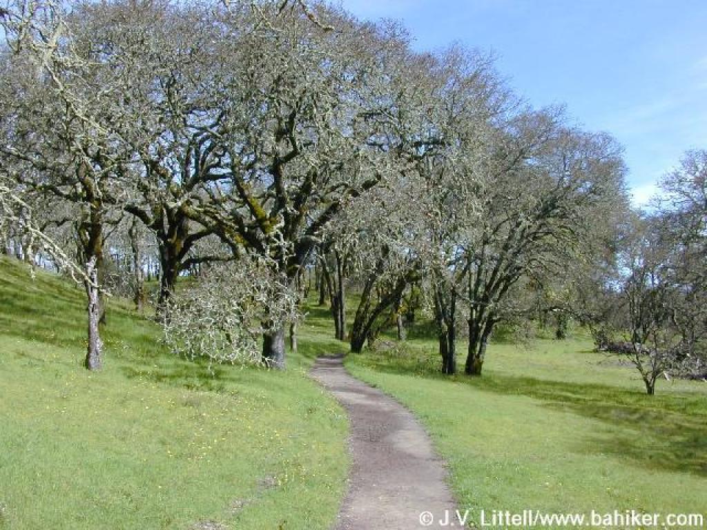
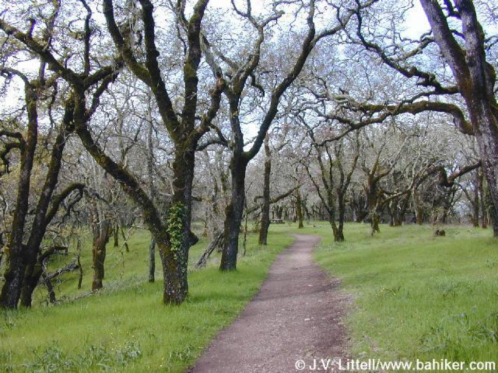
 Winding through oaks |
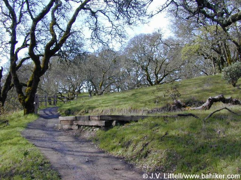
 Bridge |
||||
 Rerouted area |
 Junction with trail not on the map |
 Another Mount St. Helena view |
 Oak woodland |
||||
 Blue oak |
 Lupines off the side of the trail |
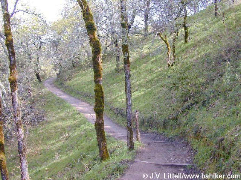
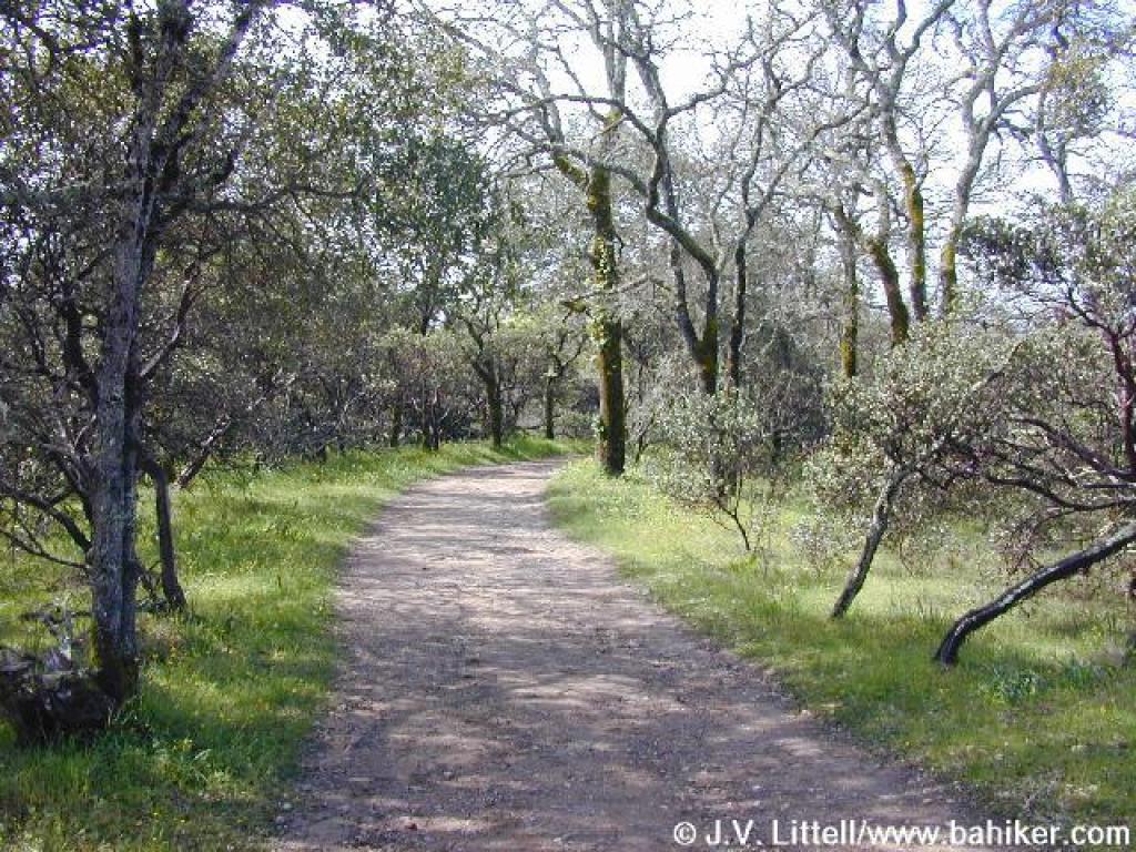
 Oakwood Trail |
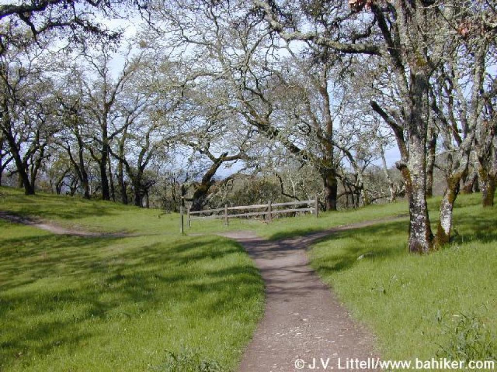
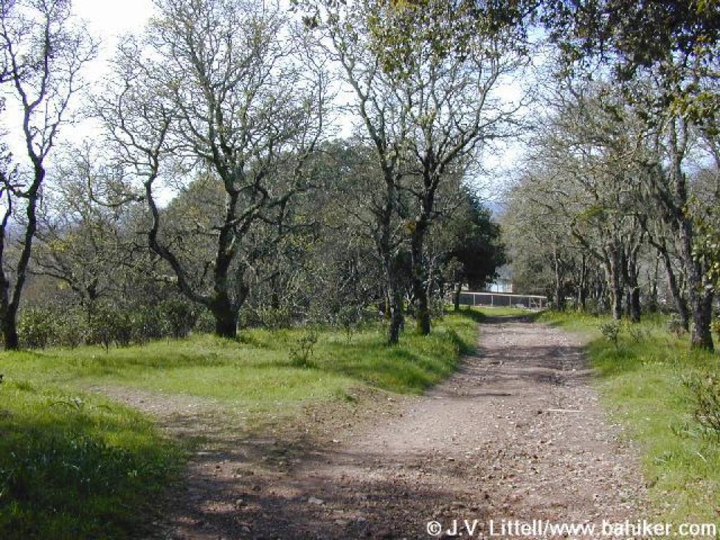
 Junction with Westside Trail |
||||
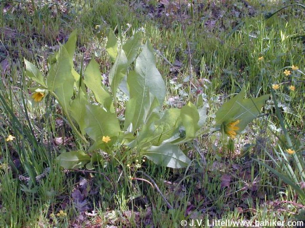 Mule ear sunflowers |
 Westside Trail |
 Junction with shortcut path to pond one |
 Descending back to the parking lot |
||||
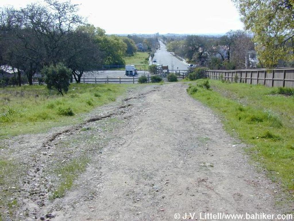
 End of the trail |
Go to Bay Area Hiker Foothill Park page Go to Bay Area Hiker Home page |
||||||