| Photos
from an April 2000 hike at Gary Giacomini Open Space Preserve (click on any image for a larger view) |
|||||||
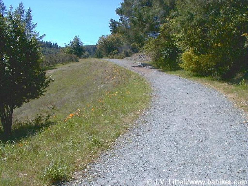
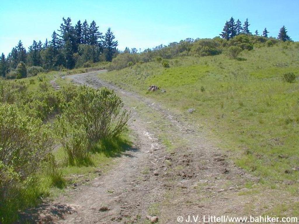
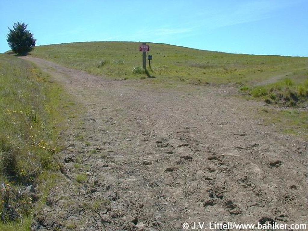
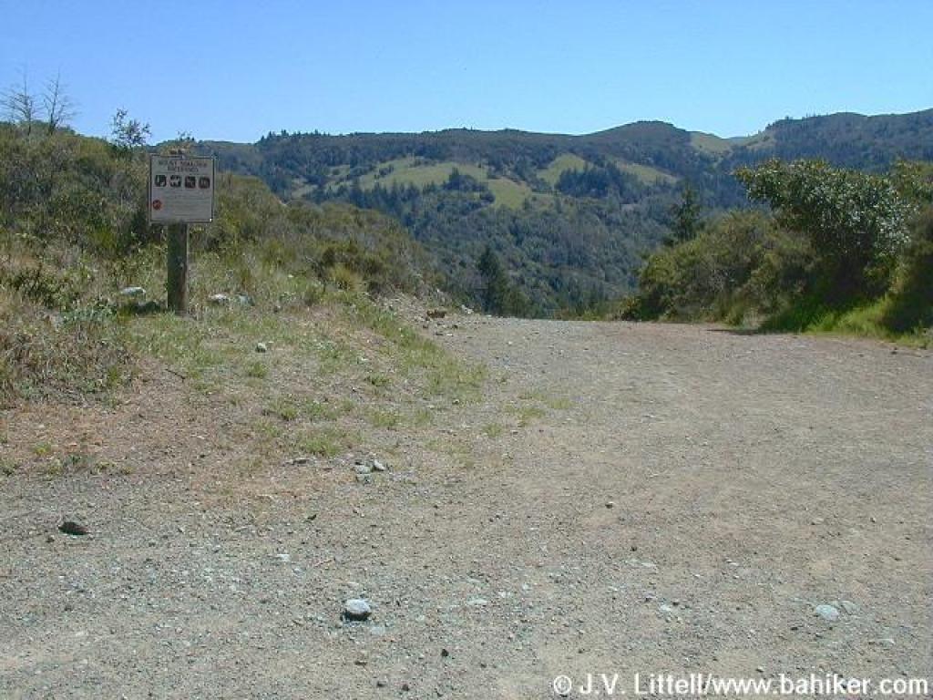
 Trailhead |
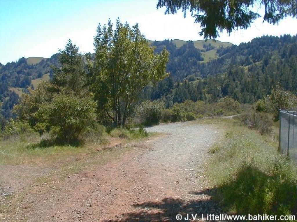
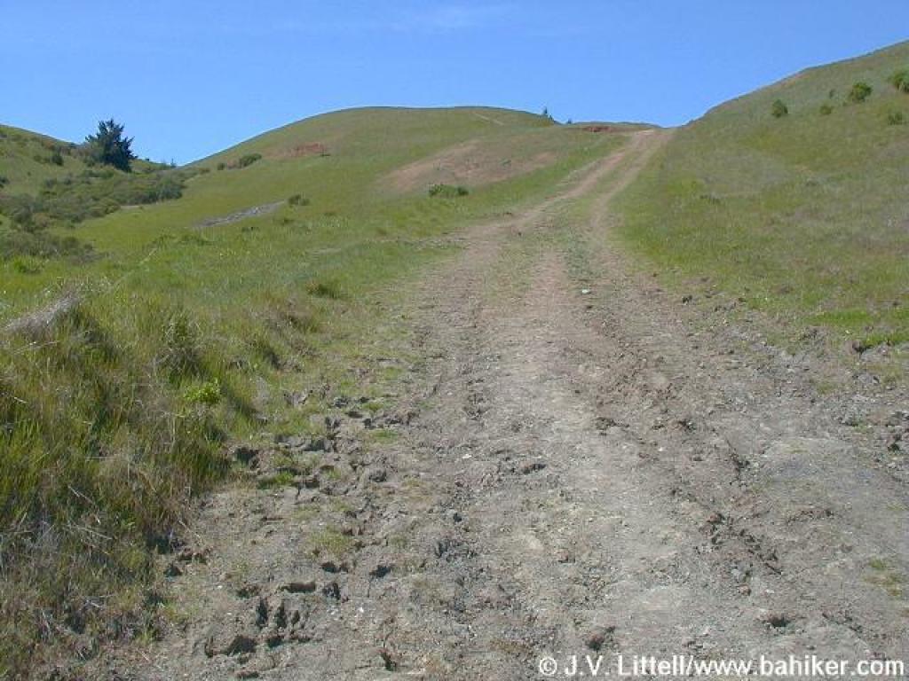
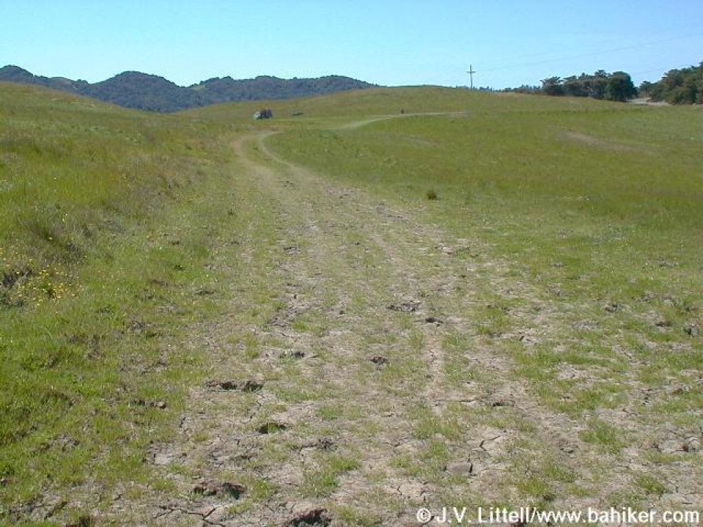
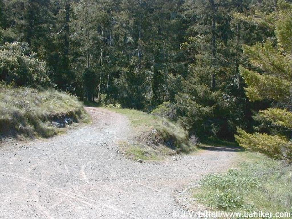
 Conifer Fire Road |
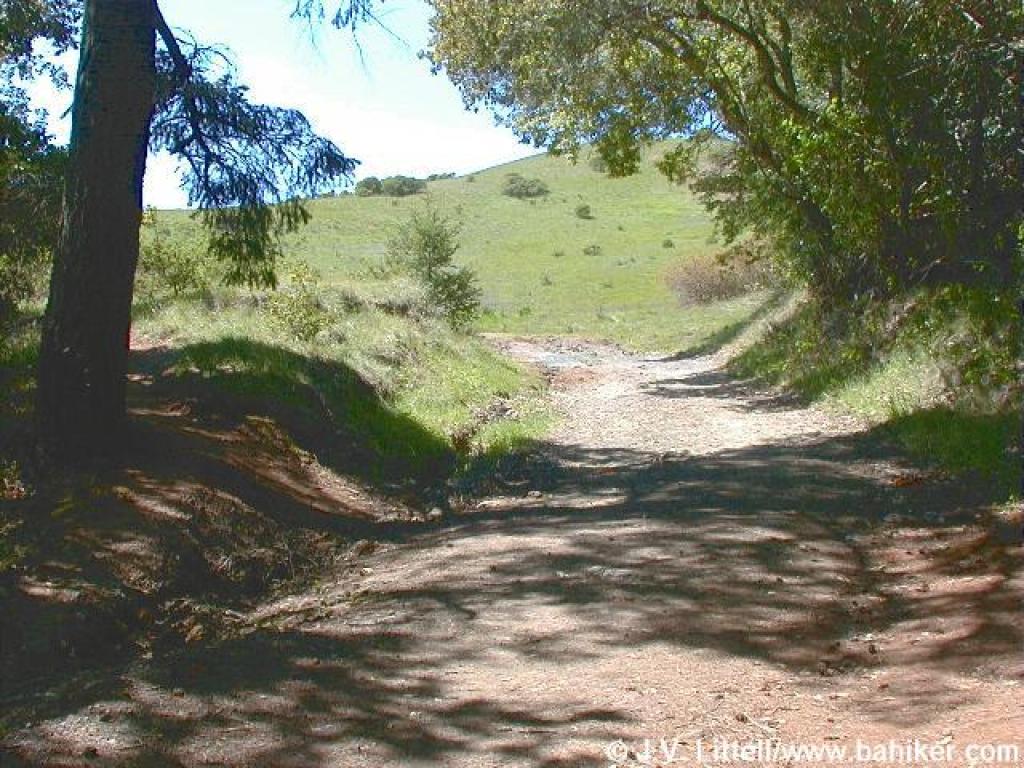
 Looking back, just past the water tank |
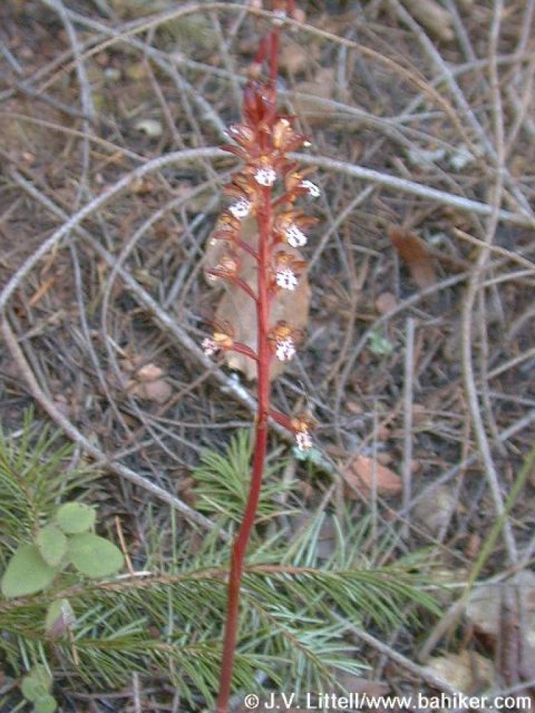 Spotted coralroot |
||||
 Uphill |
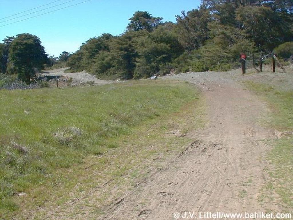
 Emerging into grassland |
 Uphill |
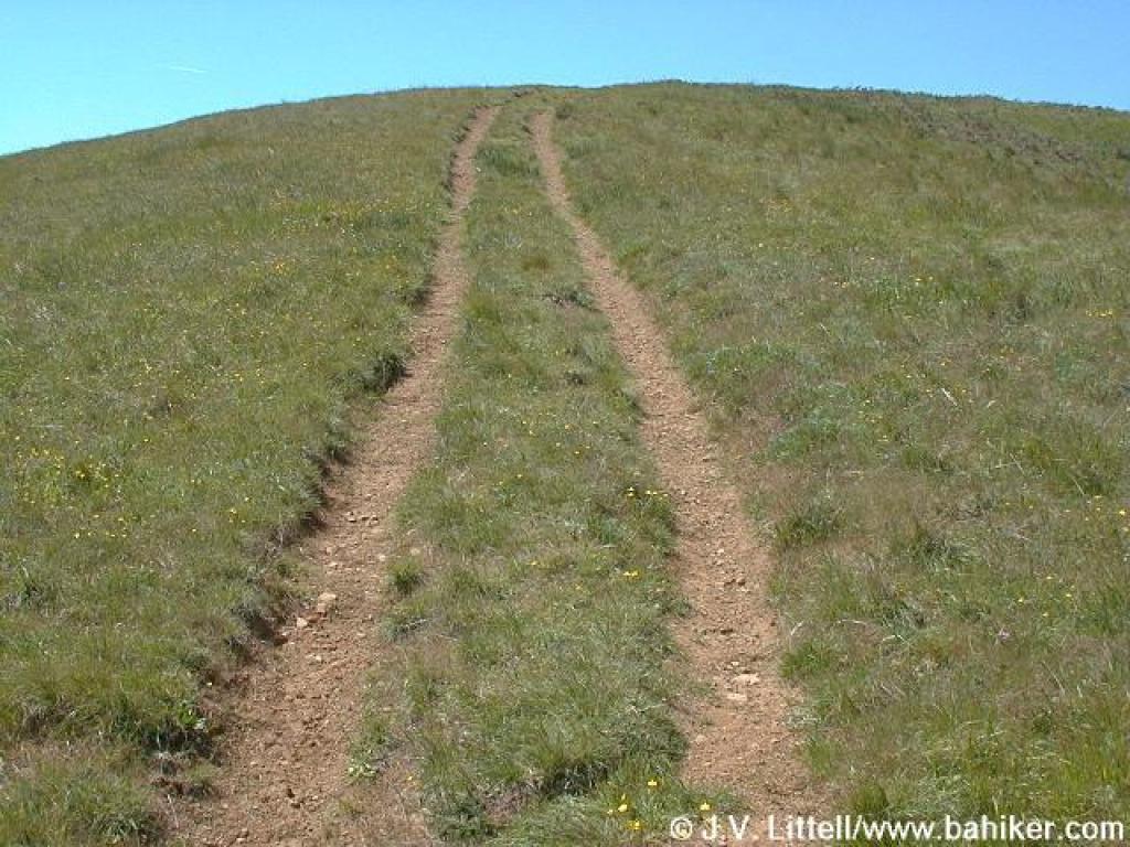
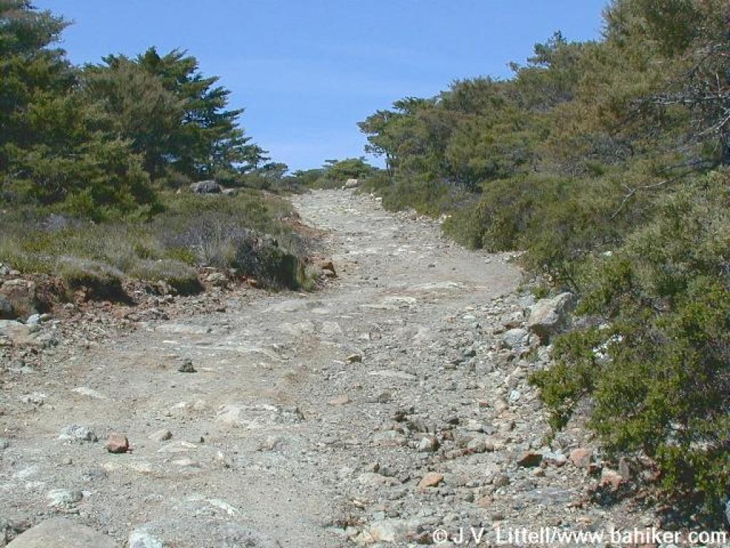
 Through a rutted section |
||||
 Looking back, to Loma Alta |
 Blue-eyed grass |
 Side path cuts right here |
 Fiddlenecks |
||||
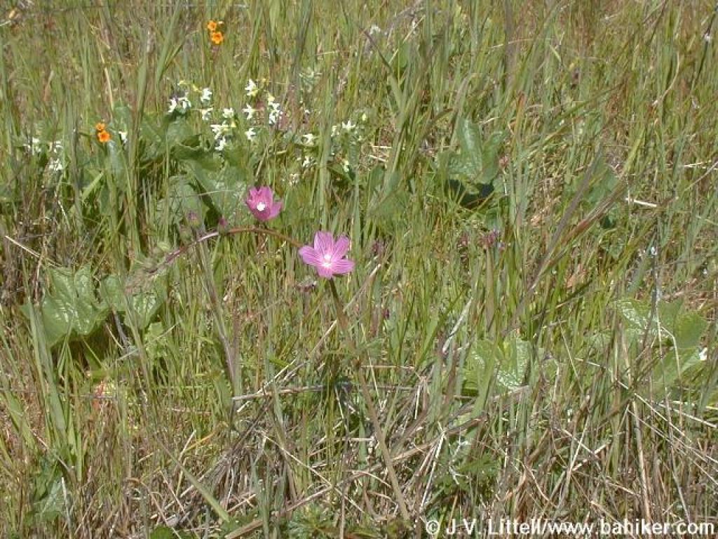 Checker-bloom and manroot blossoms |
 Creamcups |
 Side path |
 Checker-bloom |
||||
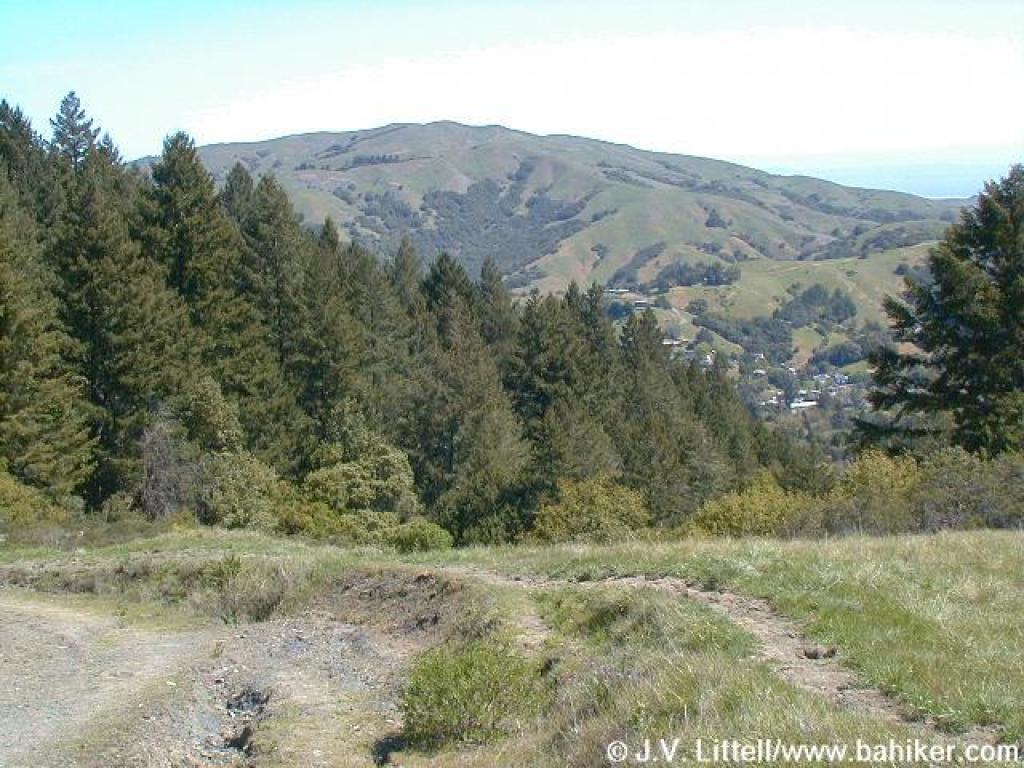
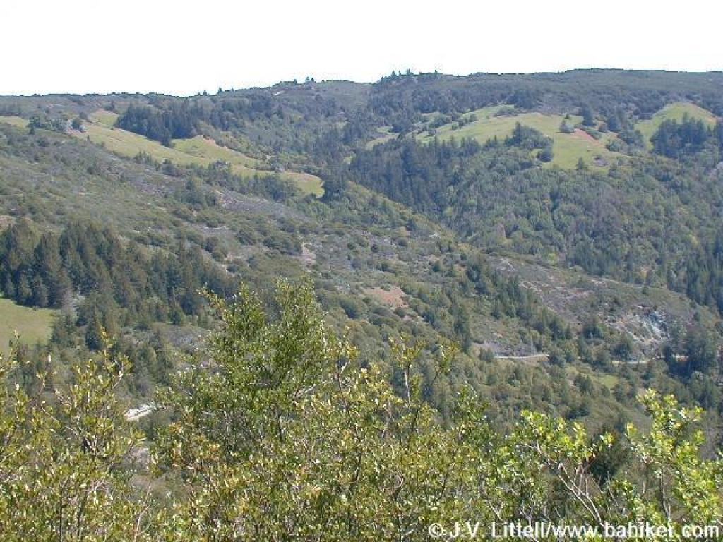
 View north from crest |
 Looking ahead to junction |
 Looking east to White's Hill |
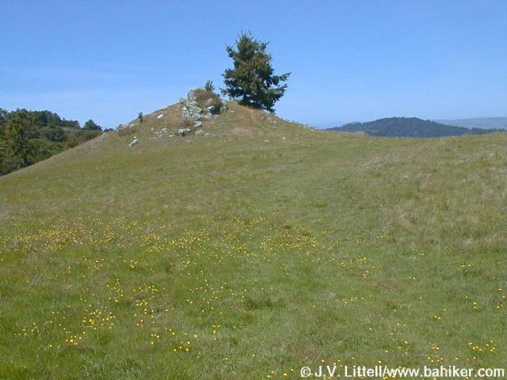 California buttercups and rocky outcrop |
||||
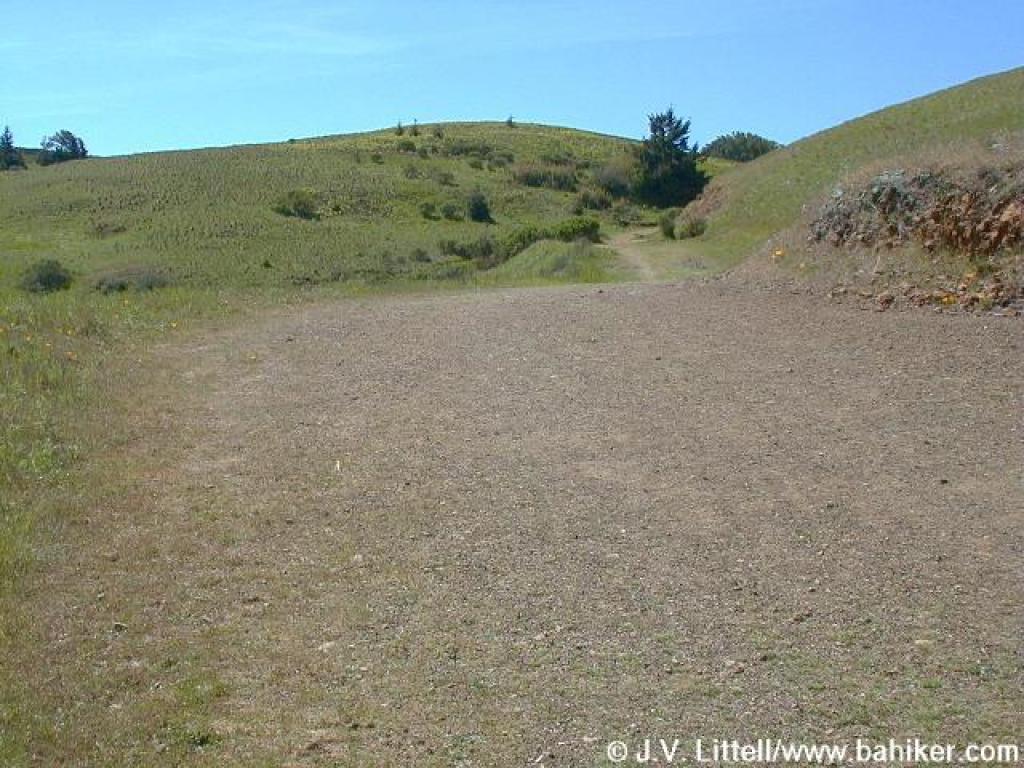
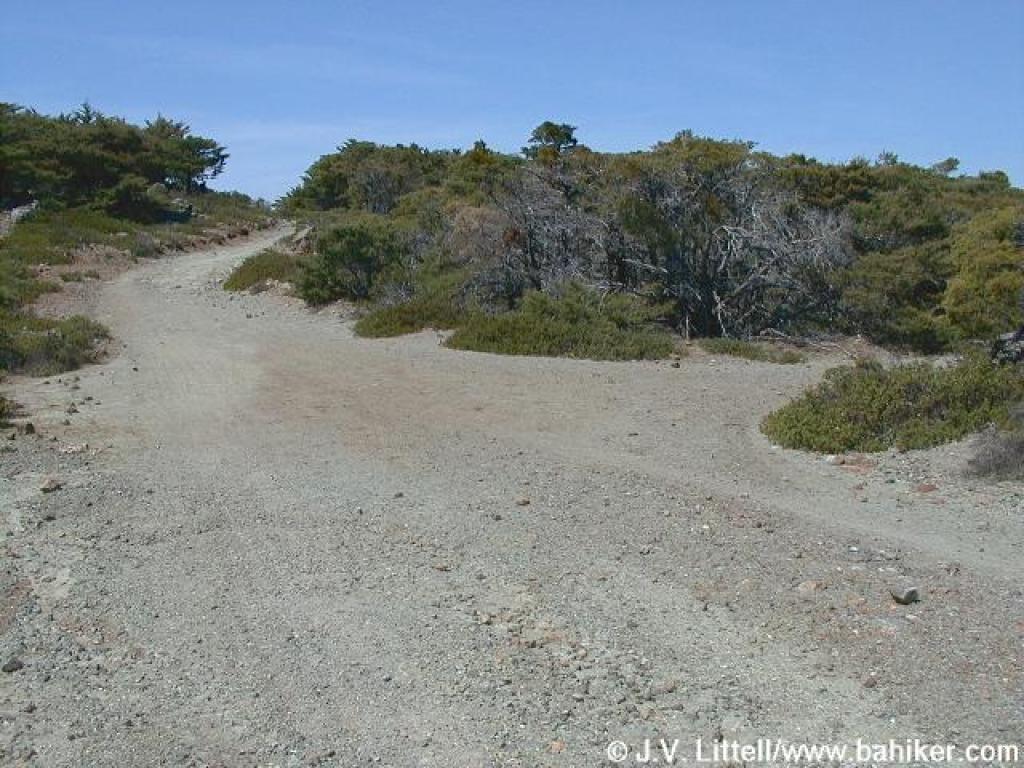
 Junction |
 Looking back |
 Approaching junction with San Geronimo Ridge Fire Road |
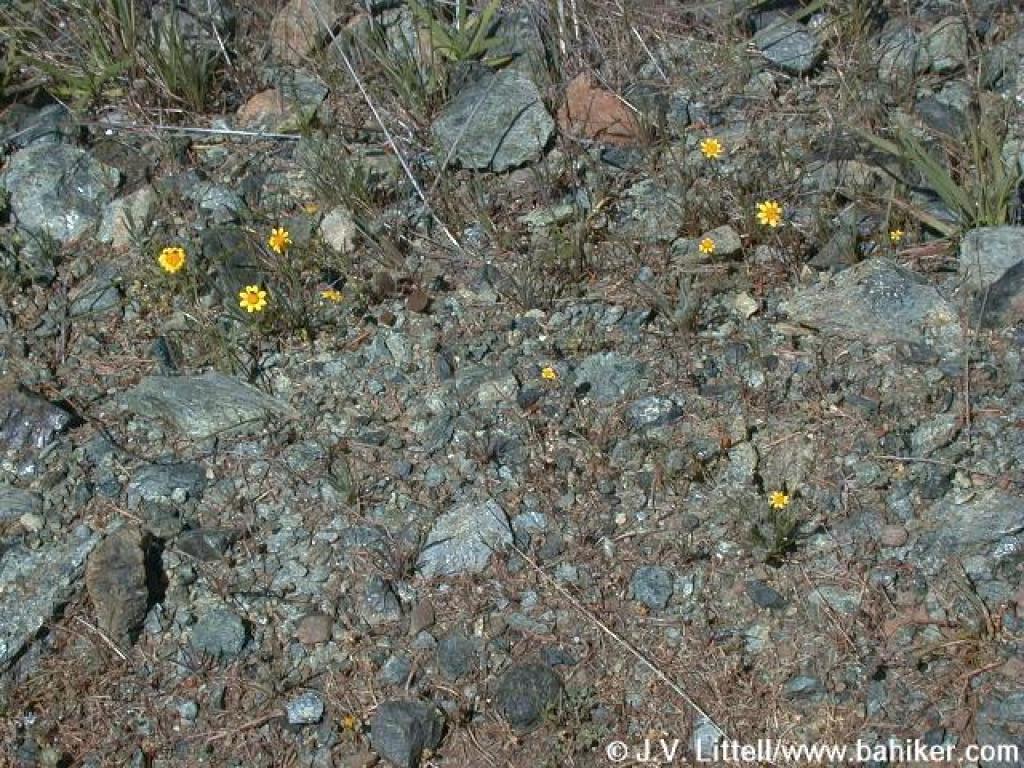
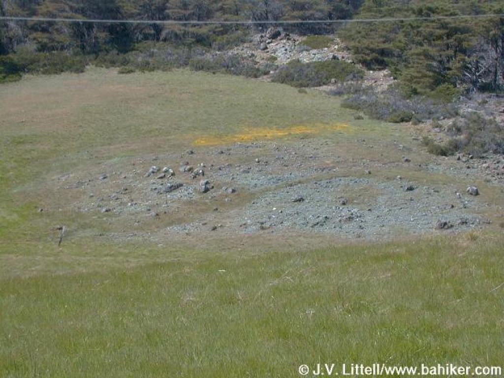 Serpentine outcrop and yellow patch of flowers |
||||
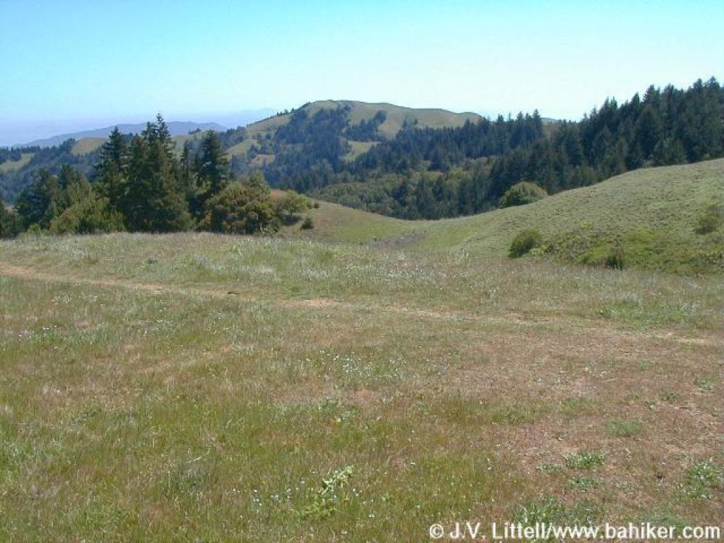
 Leaving grassland |
 Indian paintbrush among the rocks |
 San Geronimo Ridge Fire Road |
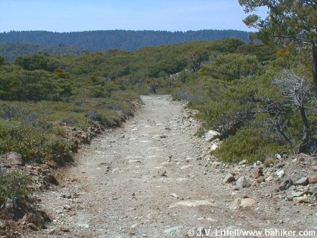 Heading west |
||||
 Not a junction |
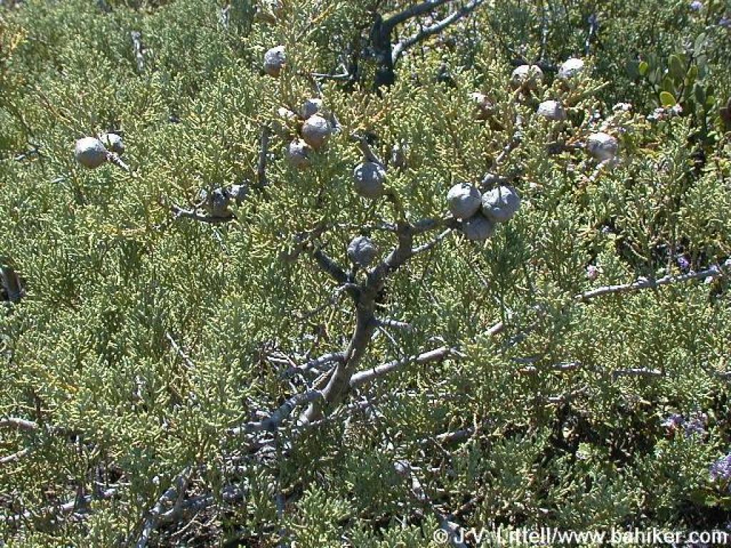 Sargent cypress |
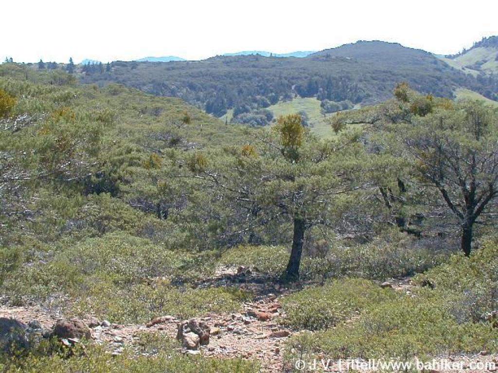 View south |
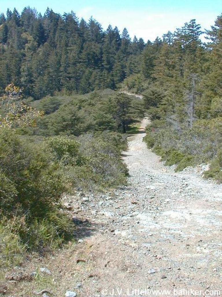
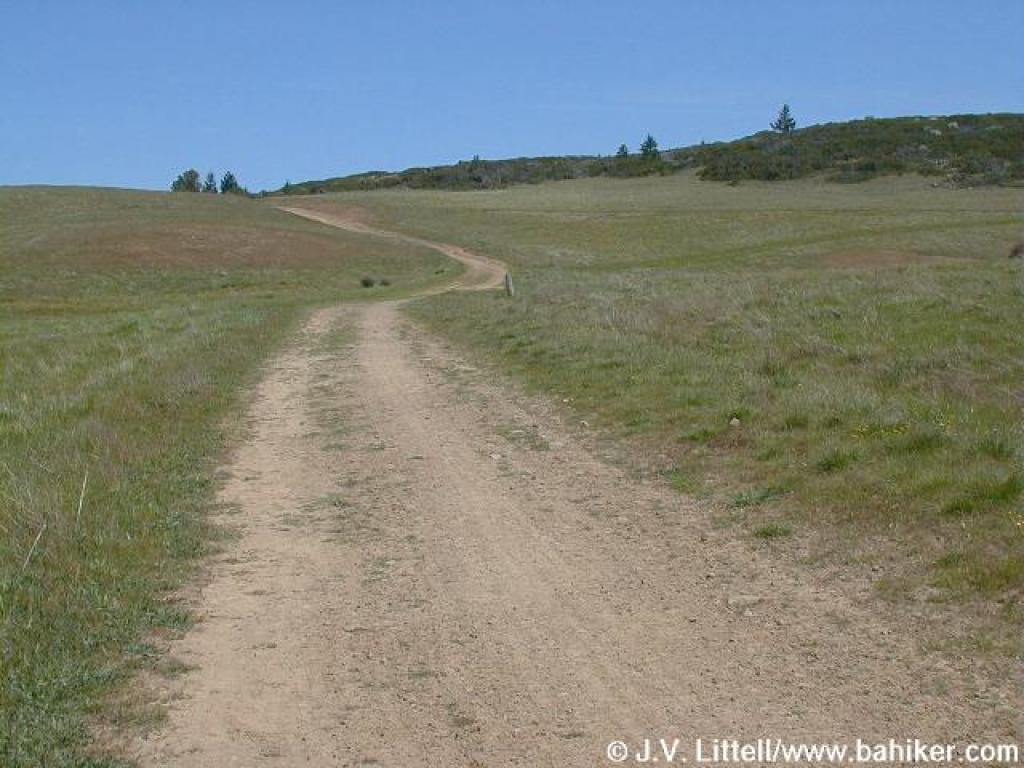
 Start of the descent |
||||
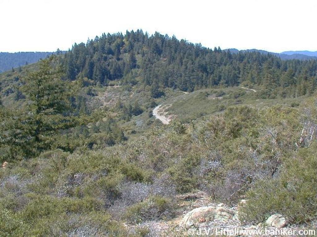 Green Hill |
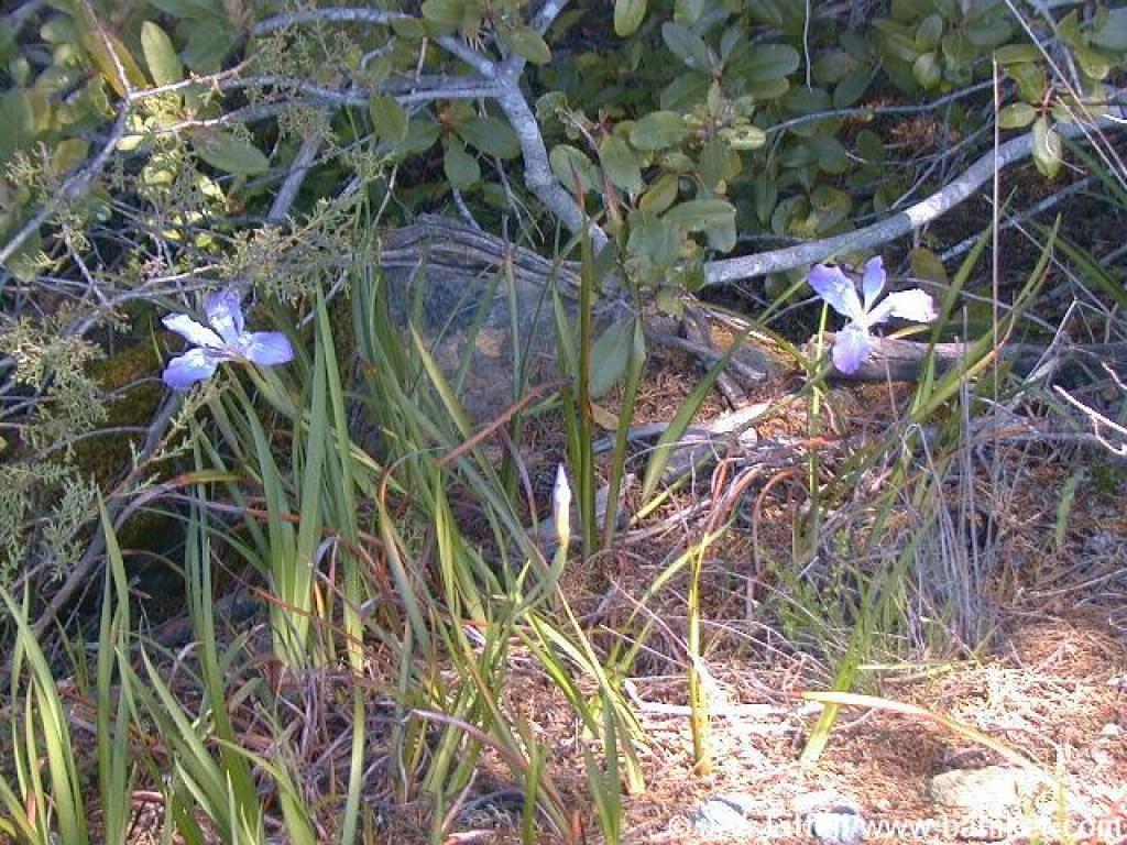 Irises |
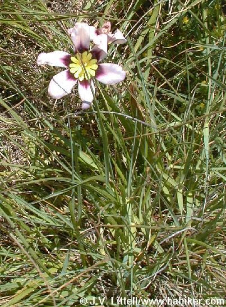
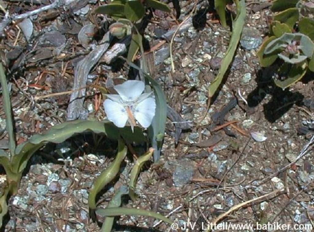 I think this is some kind of mariposa tulip |
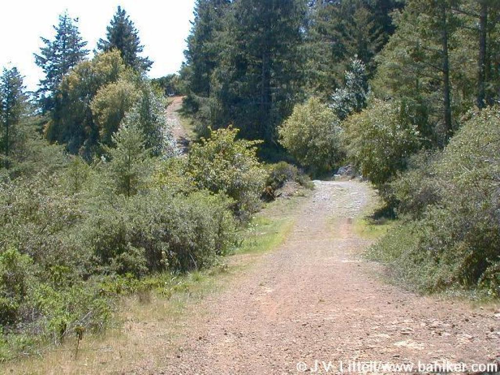
 Downhill |
||||
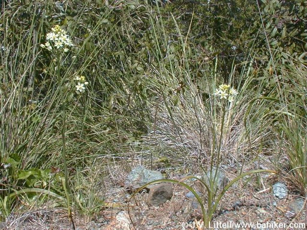 Zigadene |
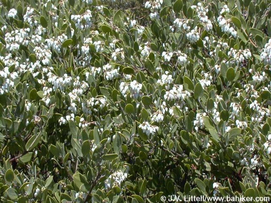 Manzanita blossoms |
 Junction |
 Pine Mountain Fire Road departs to the south |
||||
 Steepest climb of the hike |
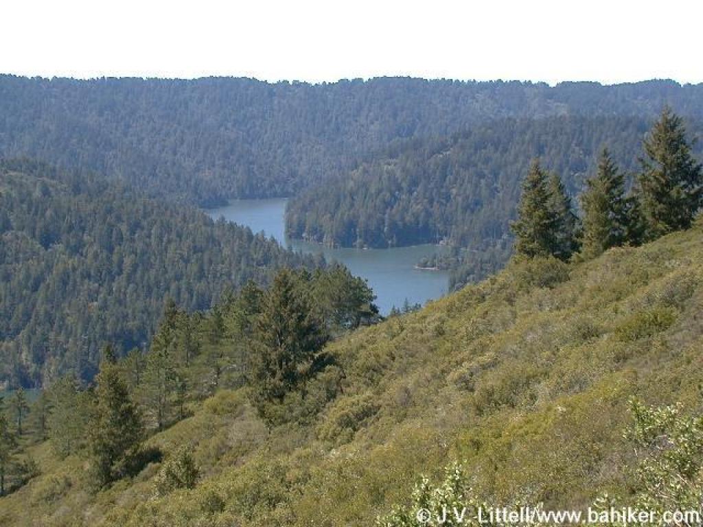 View down to Kent Lake |
 Looking back |
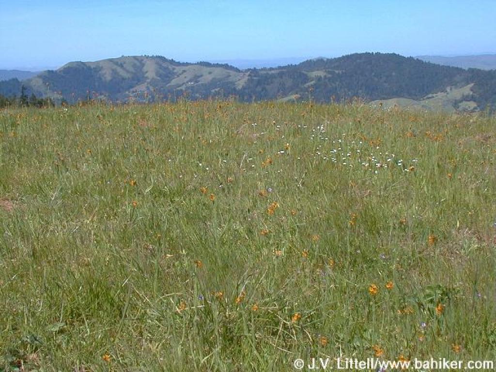
 Goldenfields |
||||
 Mission bells |
 Returning to the junction with Conifer Fire Road |
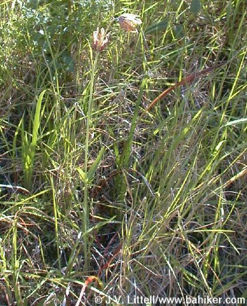
 The wildest flower of the spring, which I can't identify |
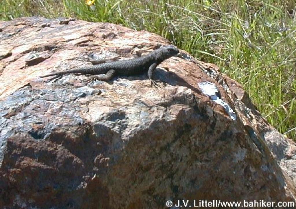 Lizard |
||||
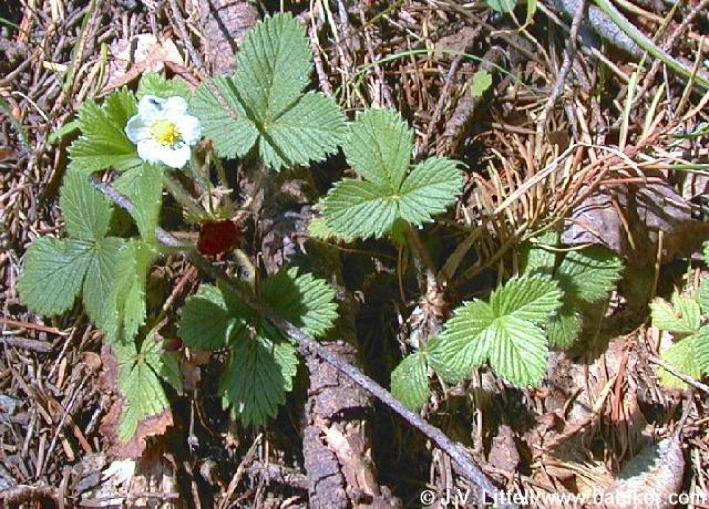 Strawberry |
 Forget-me-nots |
Go to Bay Area Hiker Giacomini page Go to Bay Area Hiker Home page |
|||||