| Photos
from a January 2002 hike at Loma Alta Open Space
Preserve (click on any image for a larger view) |
|||||||
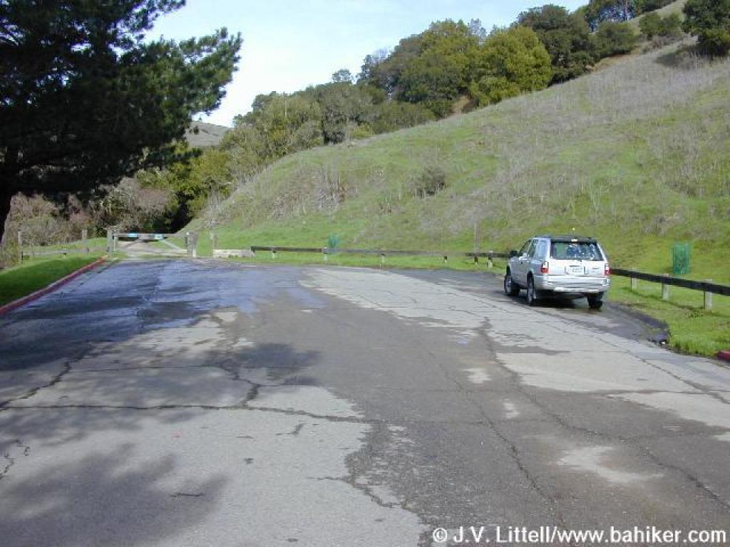 Trailhead |
 Gate |
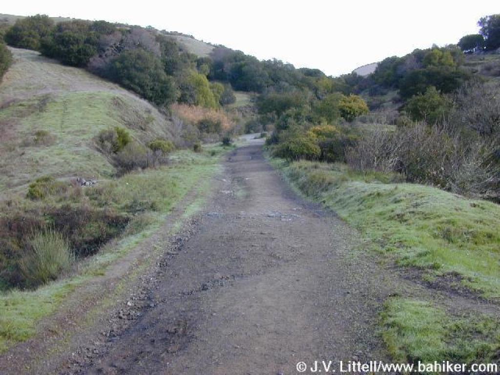
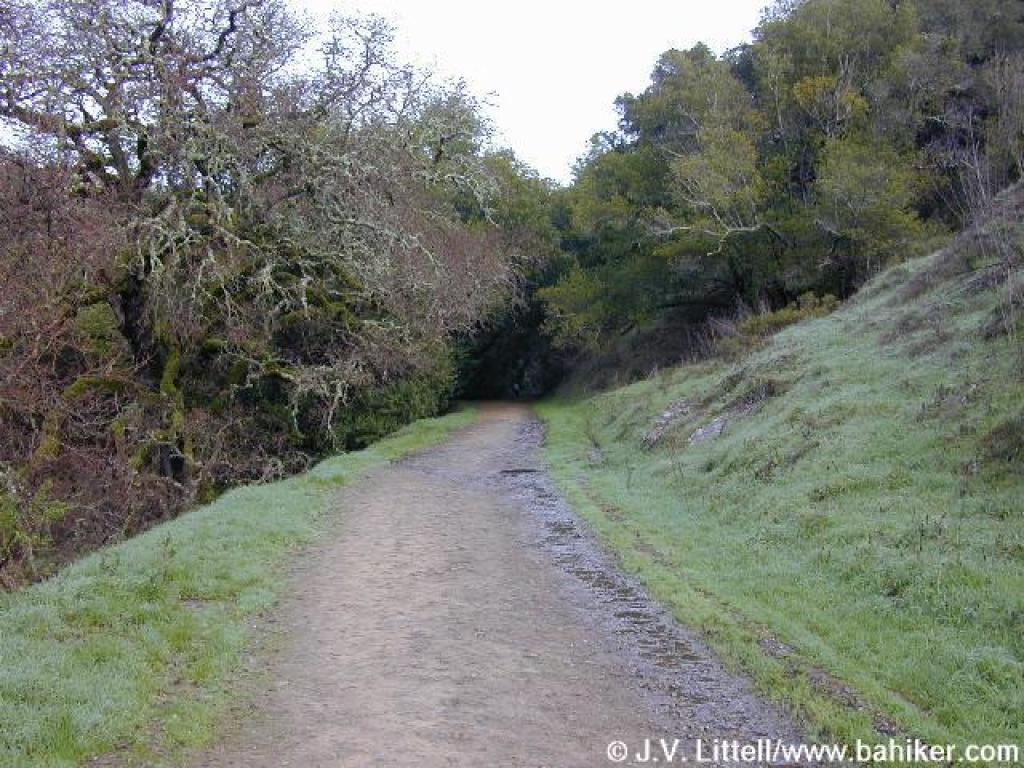 Glen Fire Road |
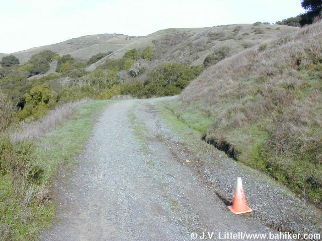
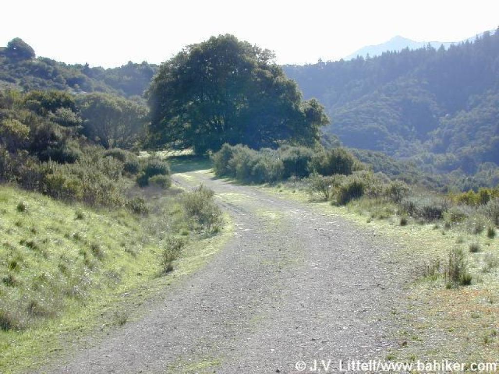
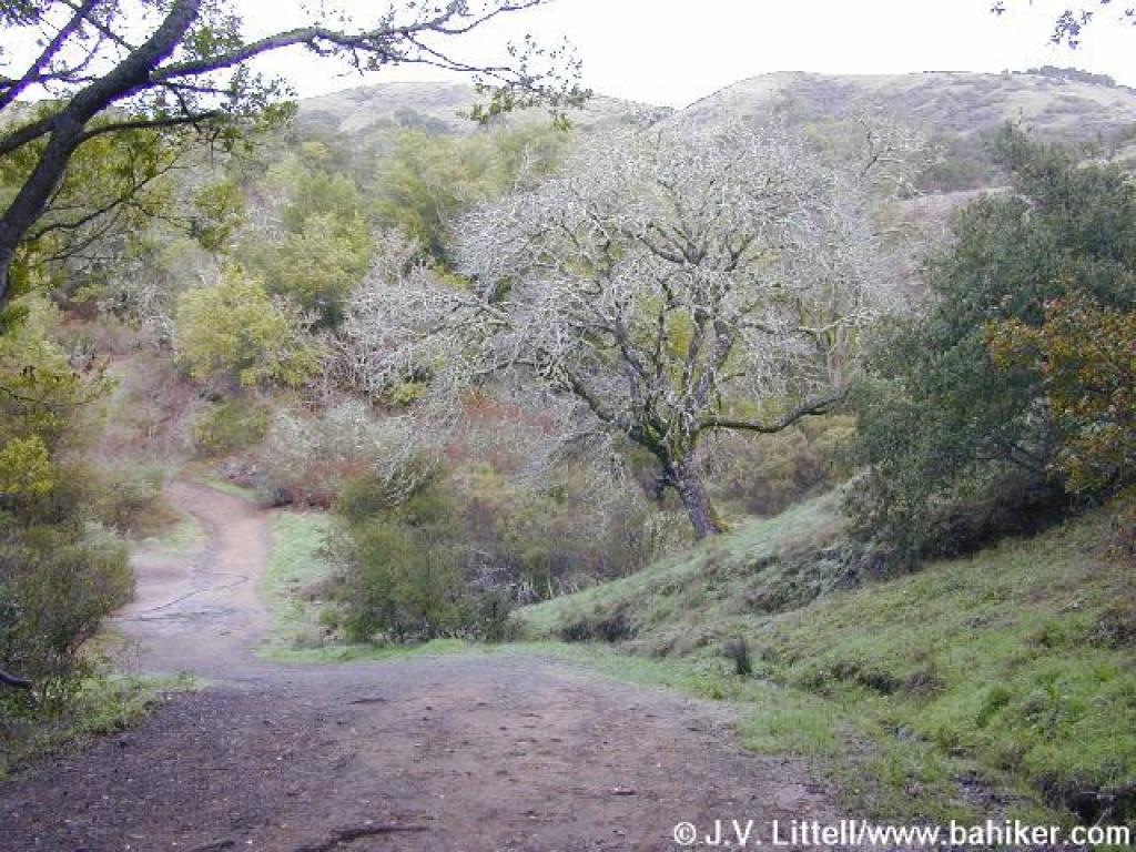 Approaching a junction |
||||
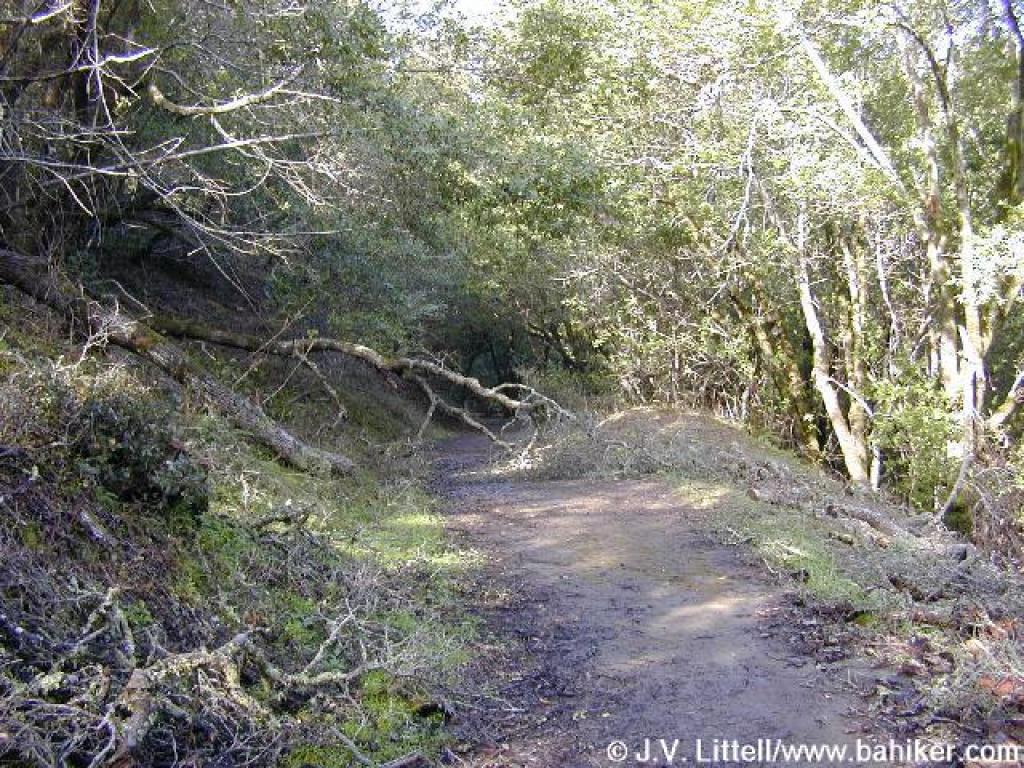
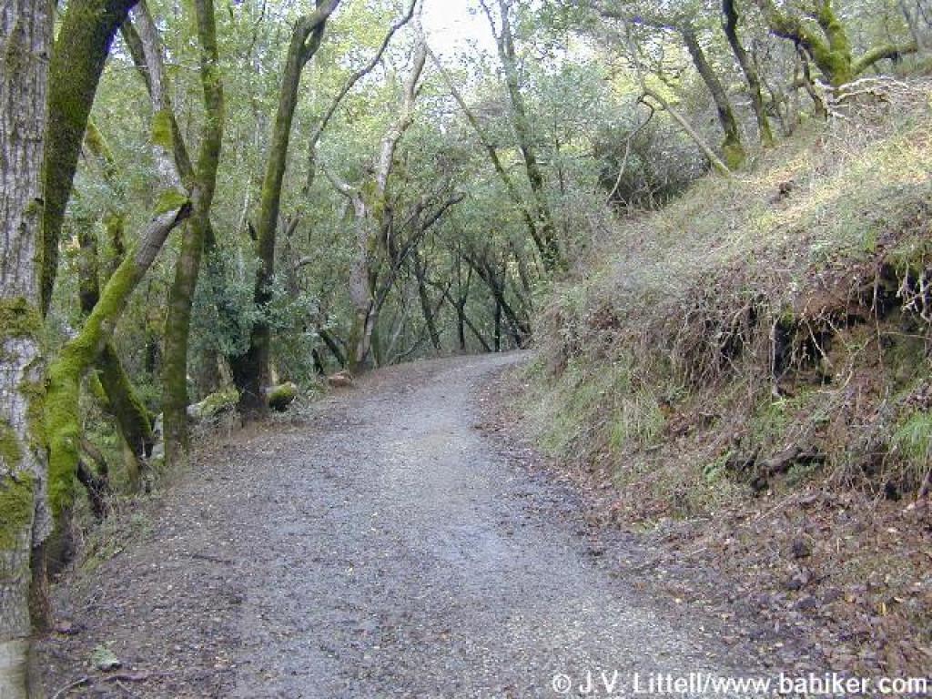 Easy climb under California bays |
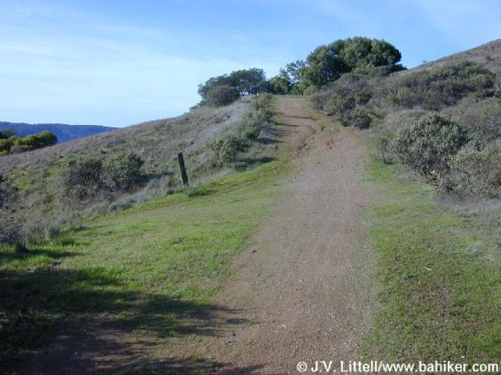
 Heading uphill |
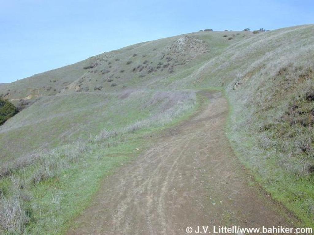
 Ascending into grassland |
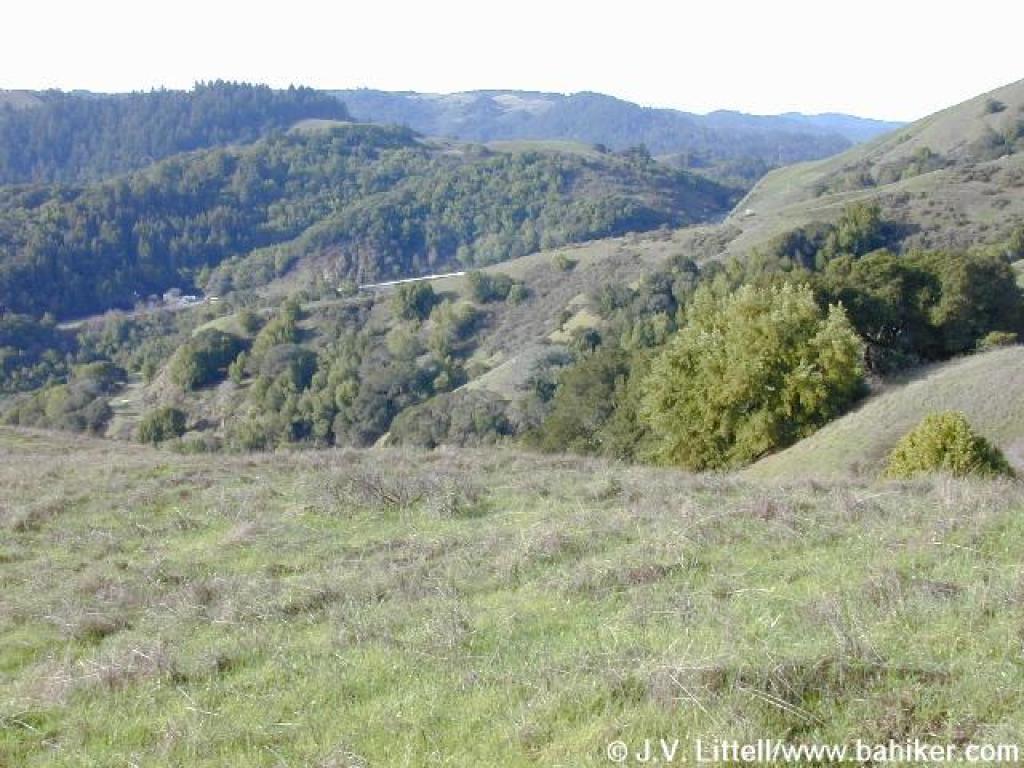
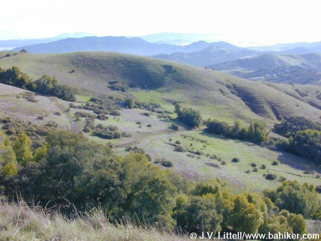
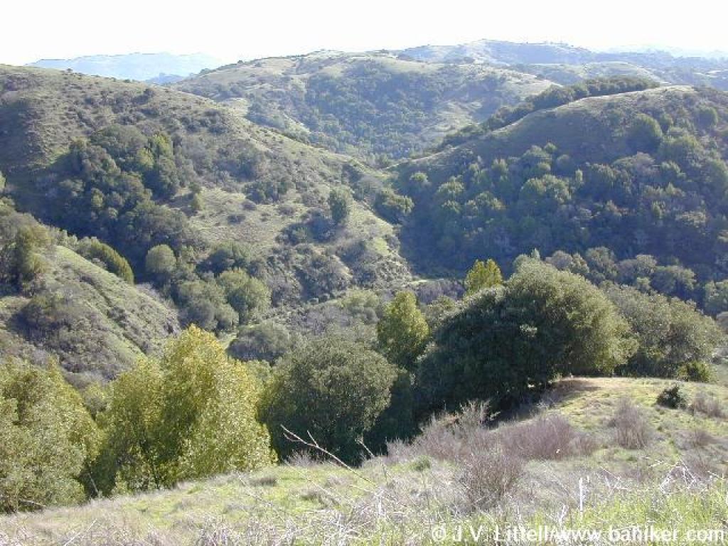
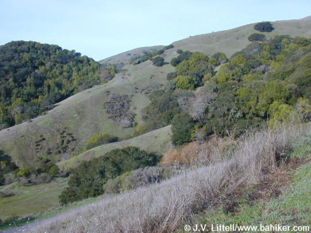 View |
||||
 Coast live oak |
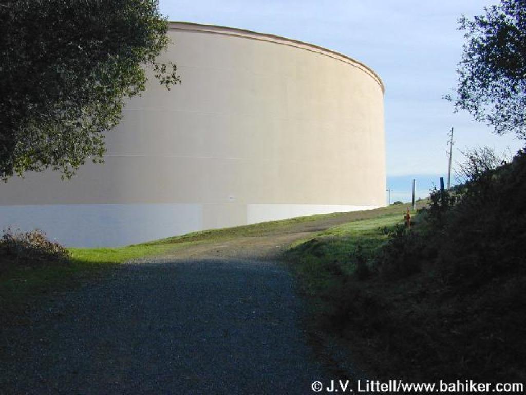 Approaching water tanks and two junctions |
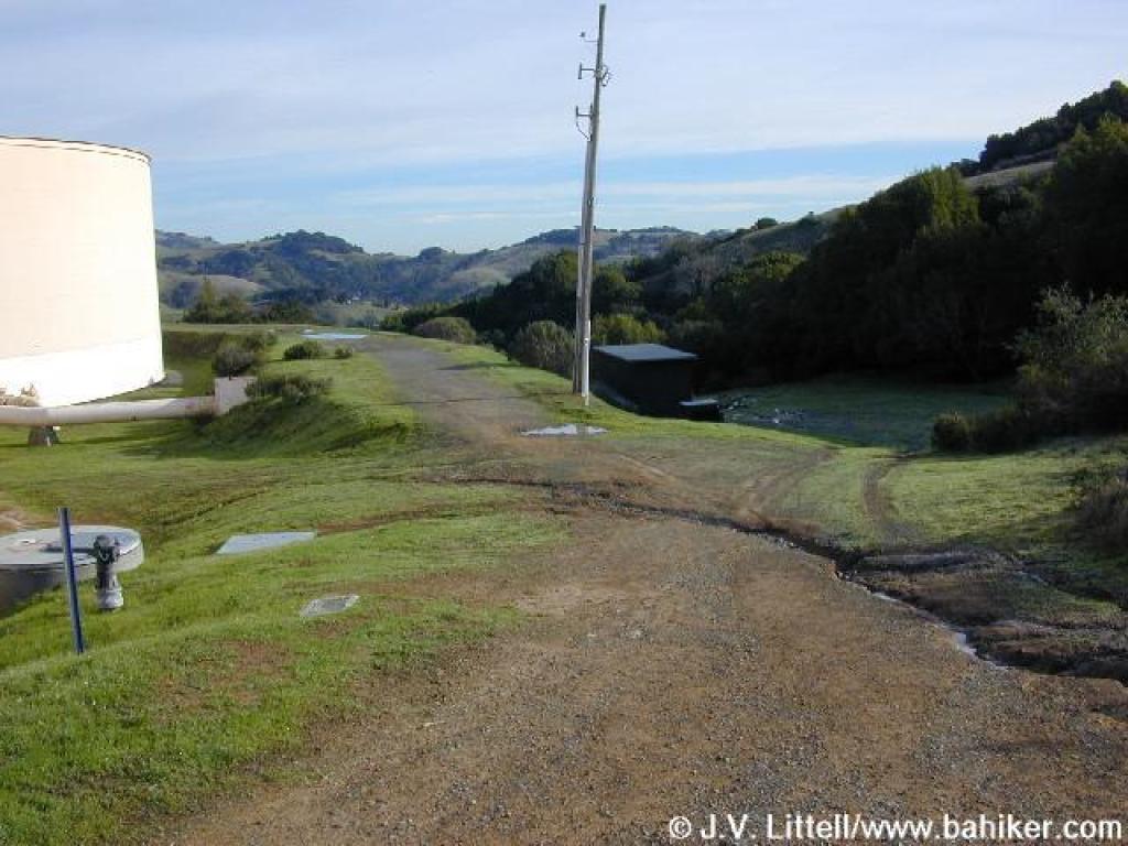 Stay to the left, skirting the tank |
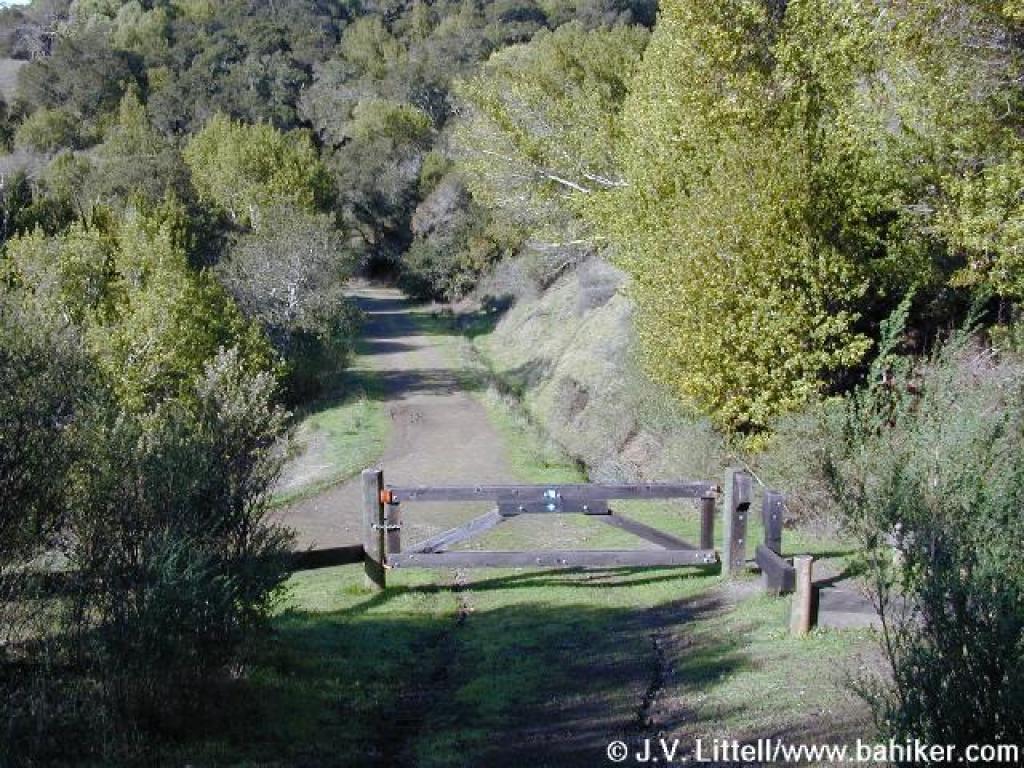
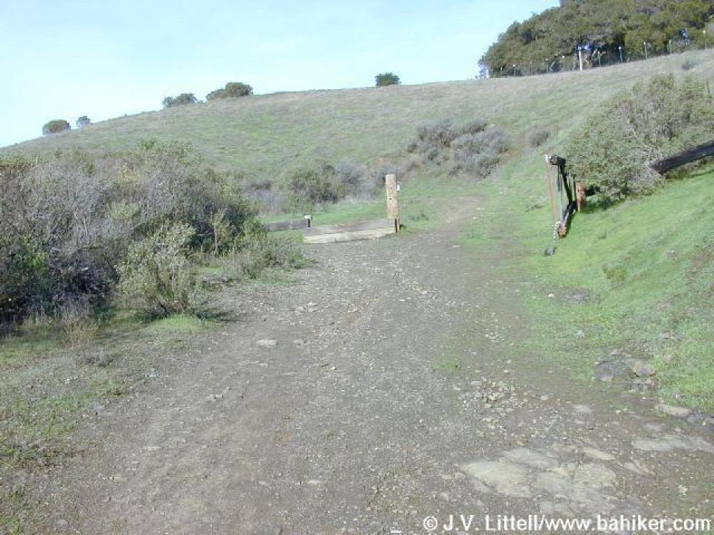 Gate |
||||
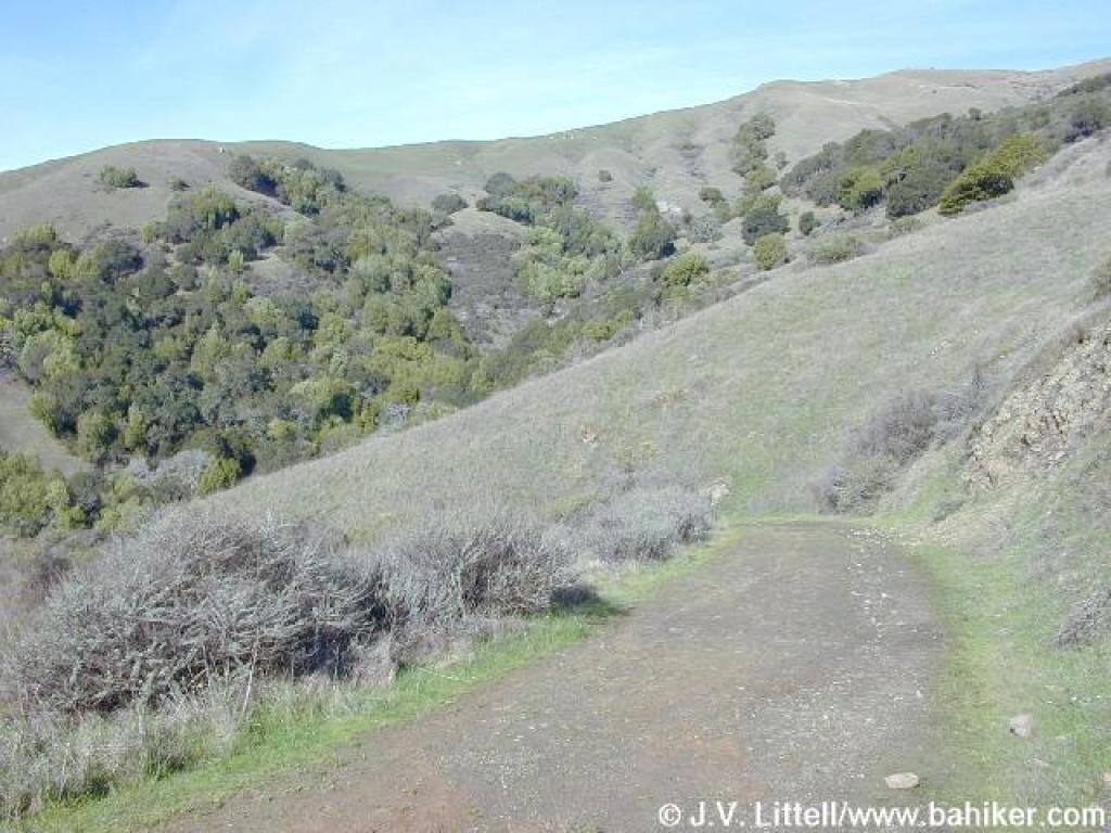
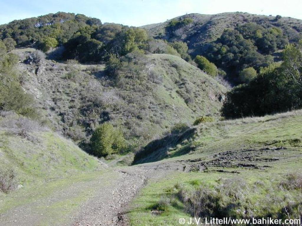
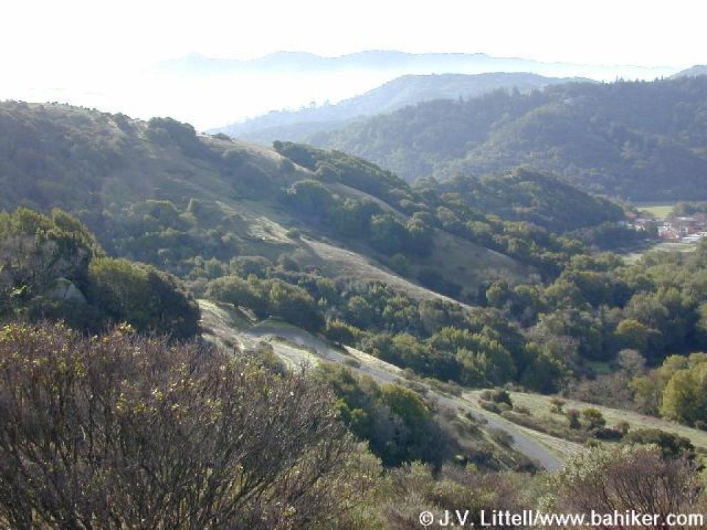 View south |
 Junction |
 Smith Fire Road |
 View southwest |
||||
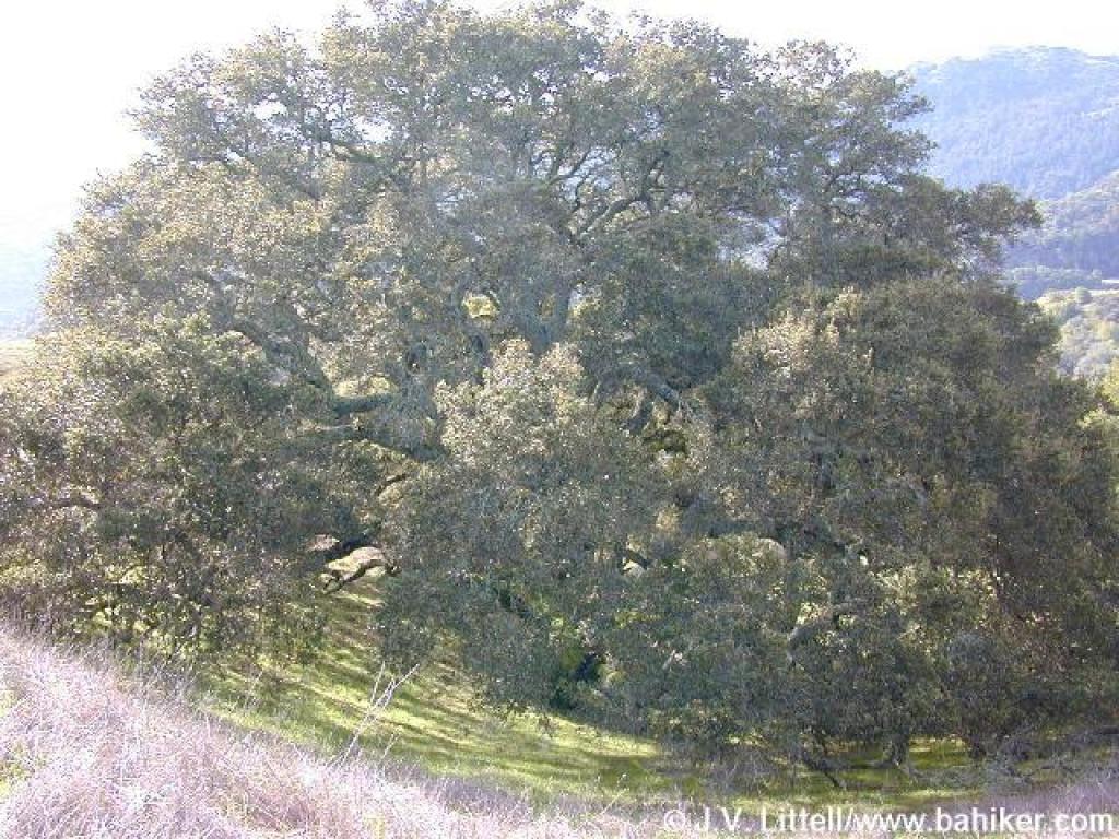 A giant coast live oak |
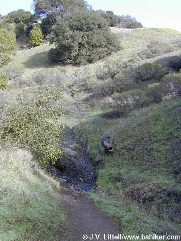
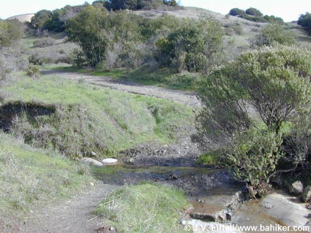
 Although grassland covers most of the hillsides, trees thrive along seasonal creeks |
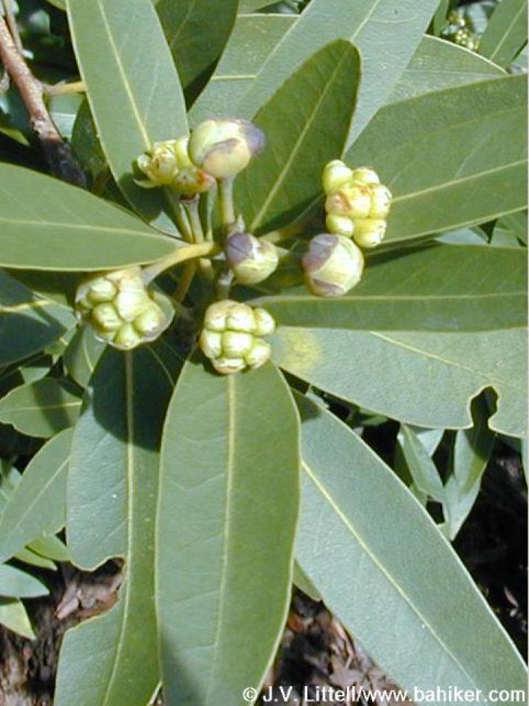 California bay |
 View east |
||||
 Junction |
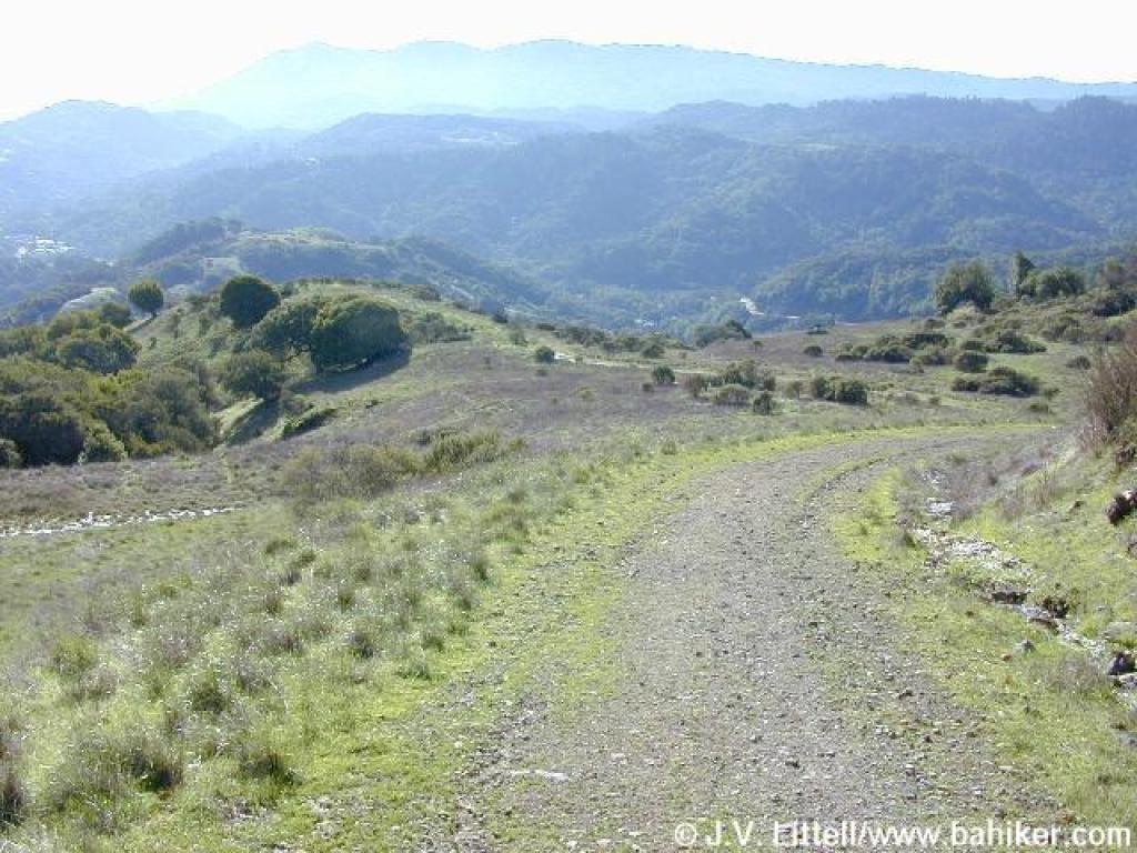 Descending |
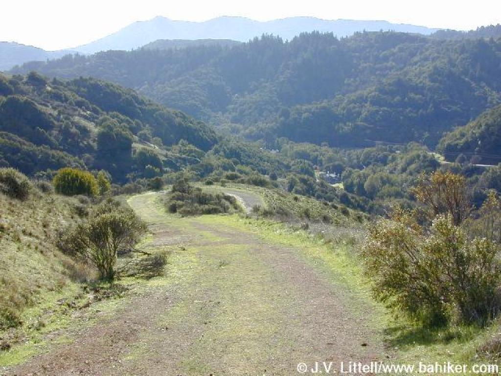
 View down to Old Railroad Grade |
 Trail curves right |
||||
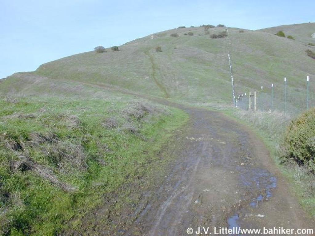
 Descending |
 Gate |
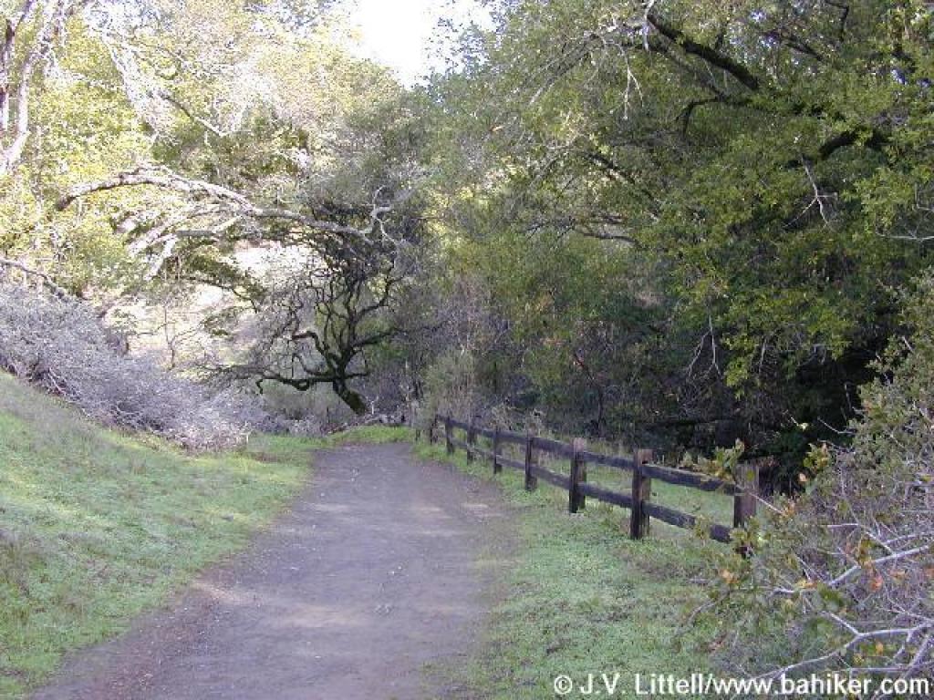
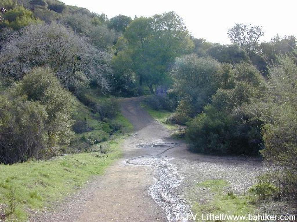
 Old Railroad Grade |
 Milkmaids |
||||
 Junction and descent |
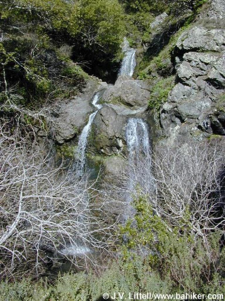 Waterfall |
 A pretty madrone creates an arch over the trail |
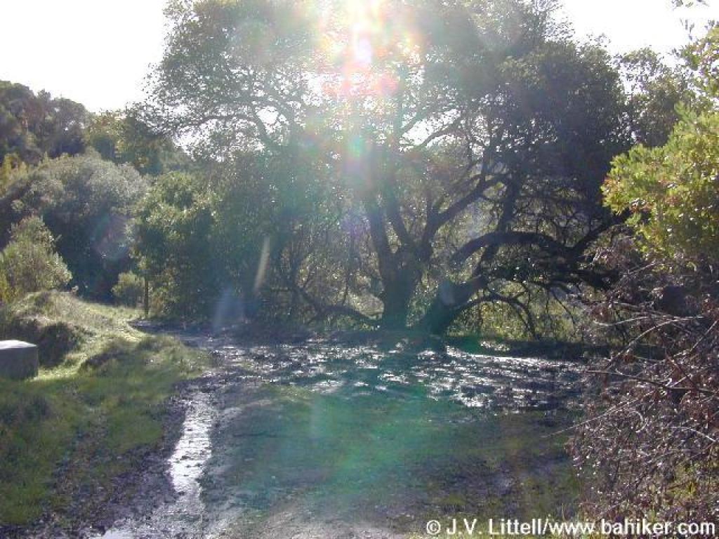
 The trail sharply falls, then climbs back out of a wooded section |
||||
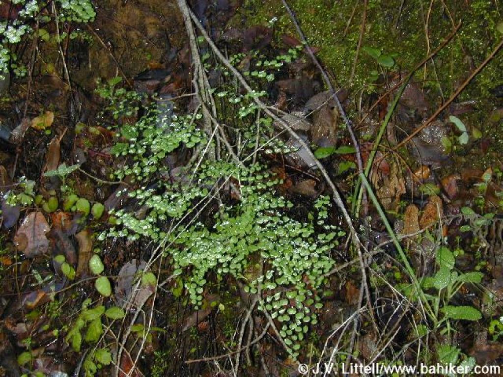 Maidenhair ferns |
 More madrones grace the sides of the trail |
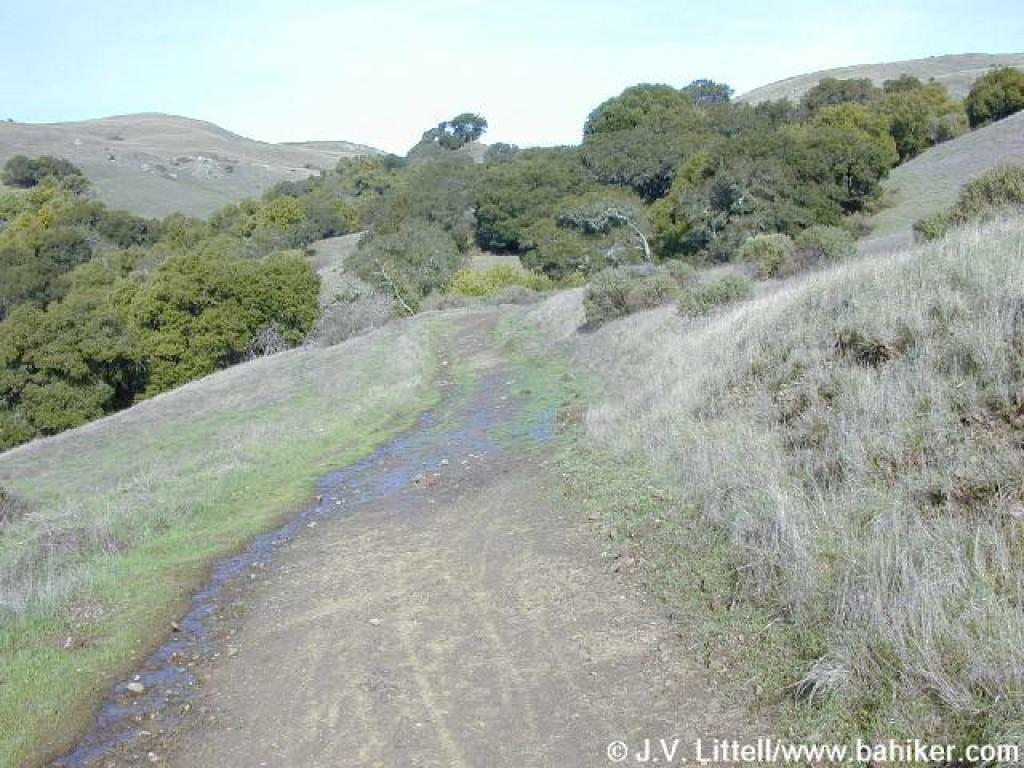
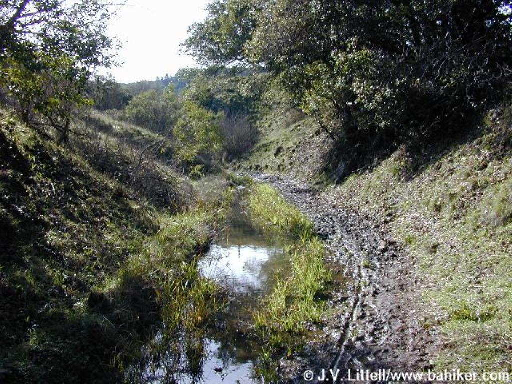 This area gets very muddy in the rainy months |
 Junction |
||||
 Junction |
 Old Railroad Grade |
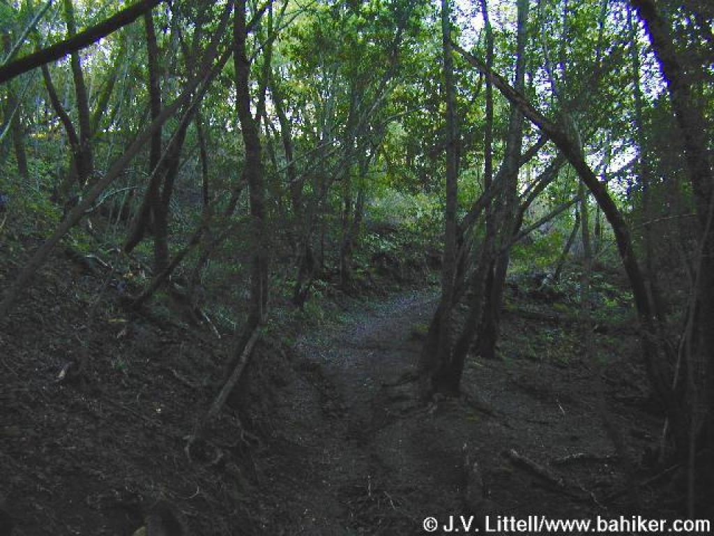
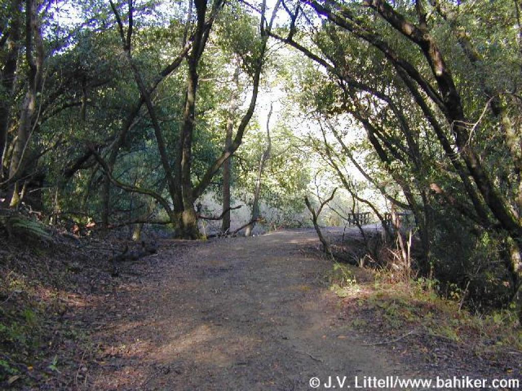
 Back in the woods |
 Approaching bridge |
||||
 Fence and junction |
 Unintended shortcut |
 Junction |
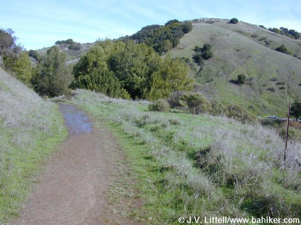
 Returning on Glen Fire Road, this is where you should rejoin the trail |
||||
Go to Bay Area Hiker Loma Alta page Go to Bay Area Hiker Home page |
|||||||