| Photos
from a February 12, 2002 hike at Muir Woods/Mount Tam (click on any image for a larger view) |
|||||||
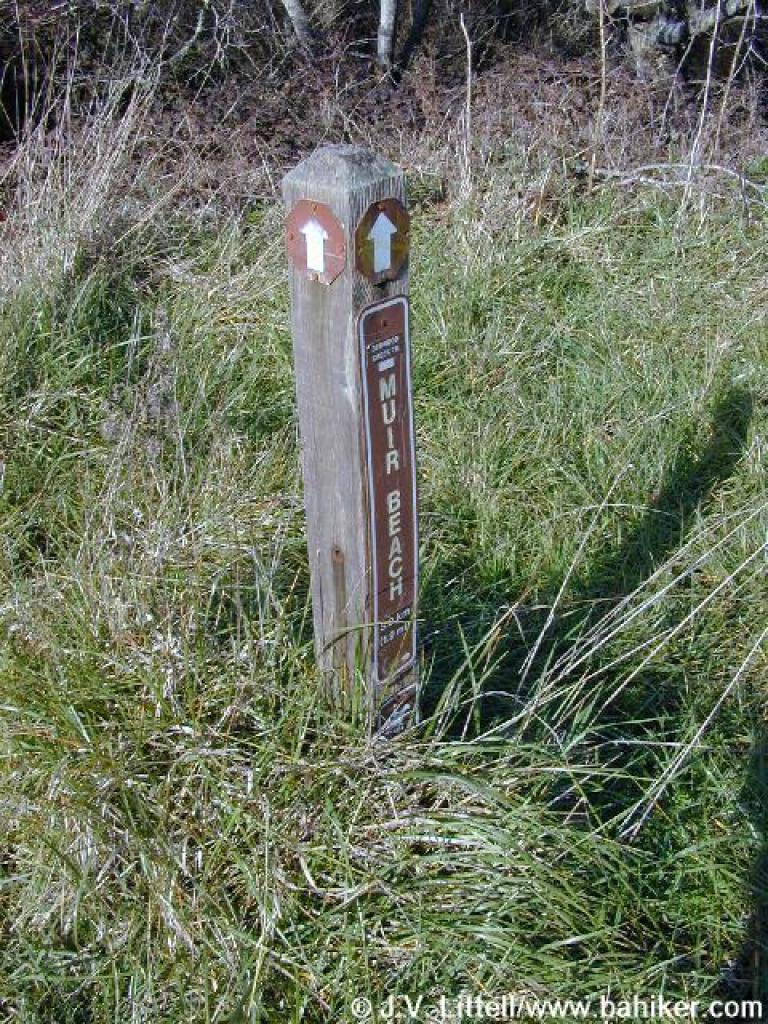
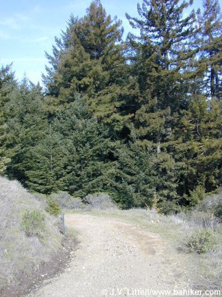
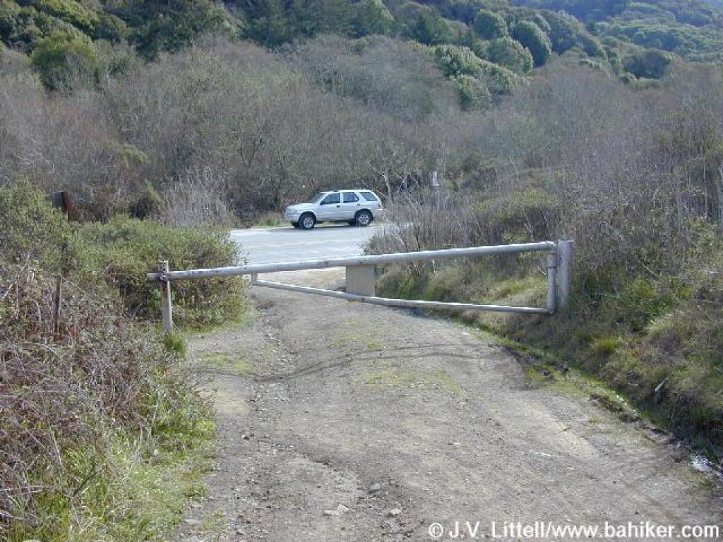
 Trailhead |
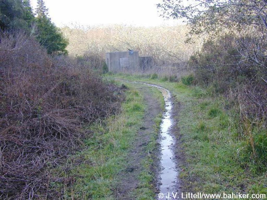
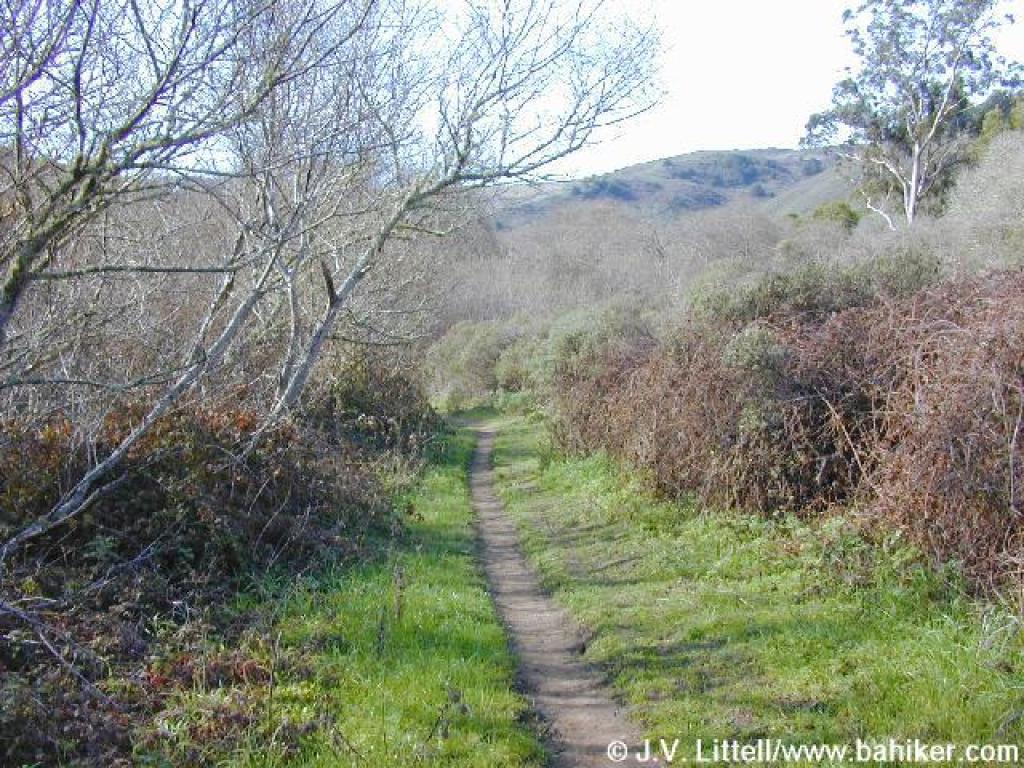
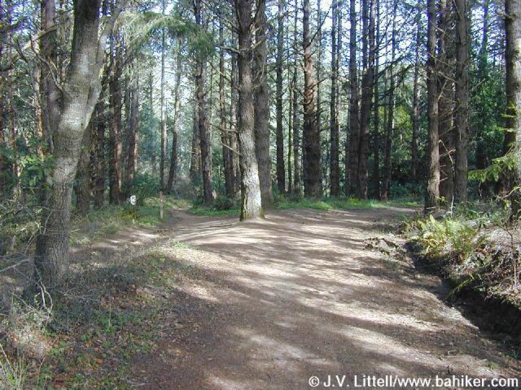
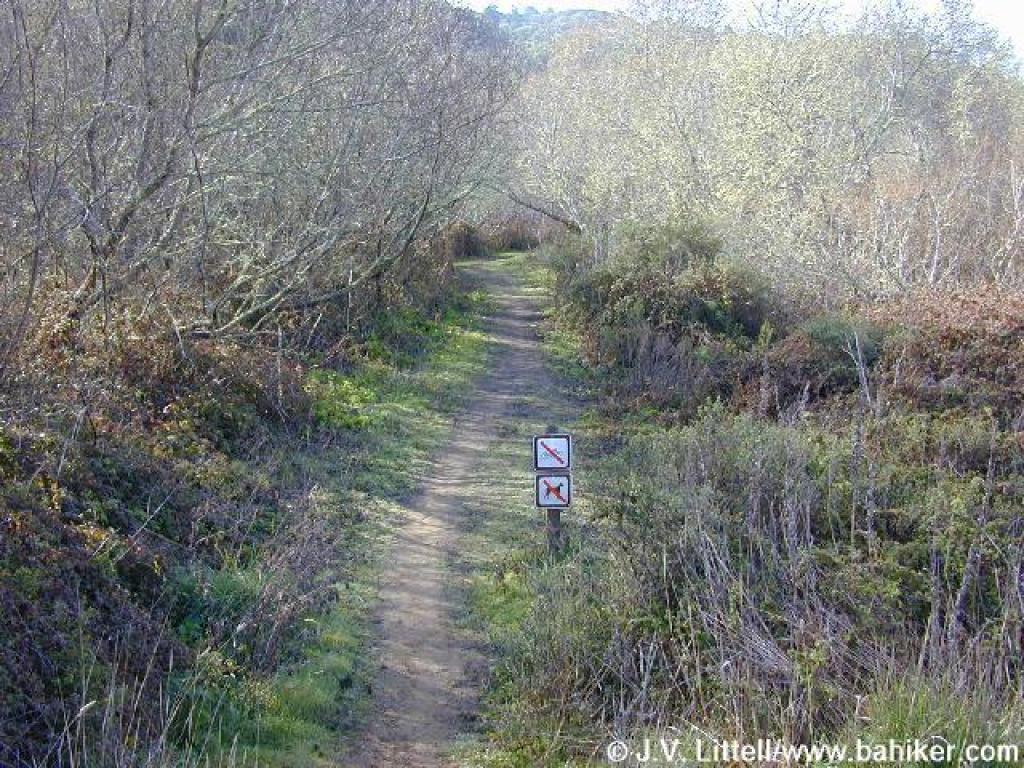 Start of Redwood Creek Trail |
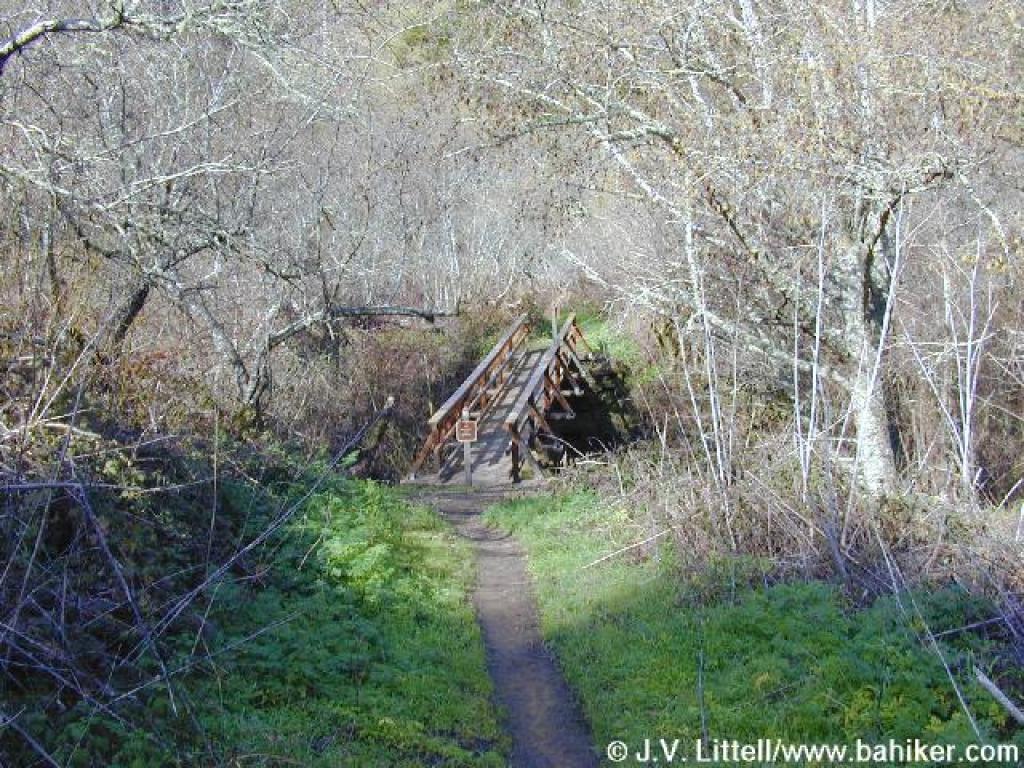
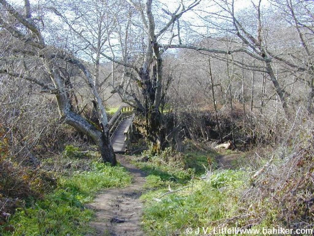
 Bridge |
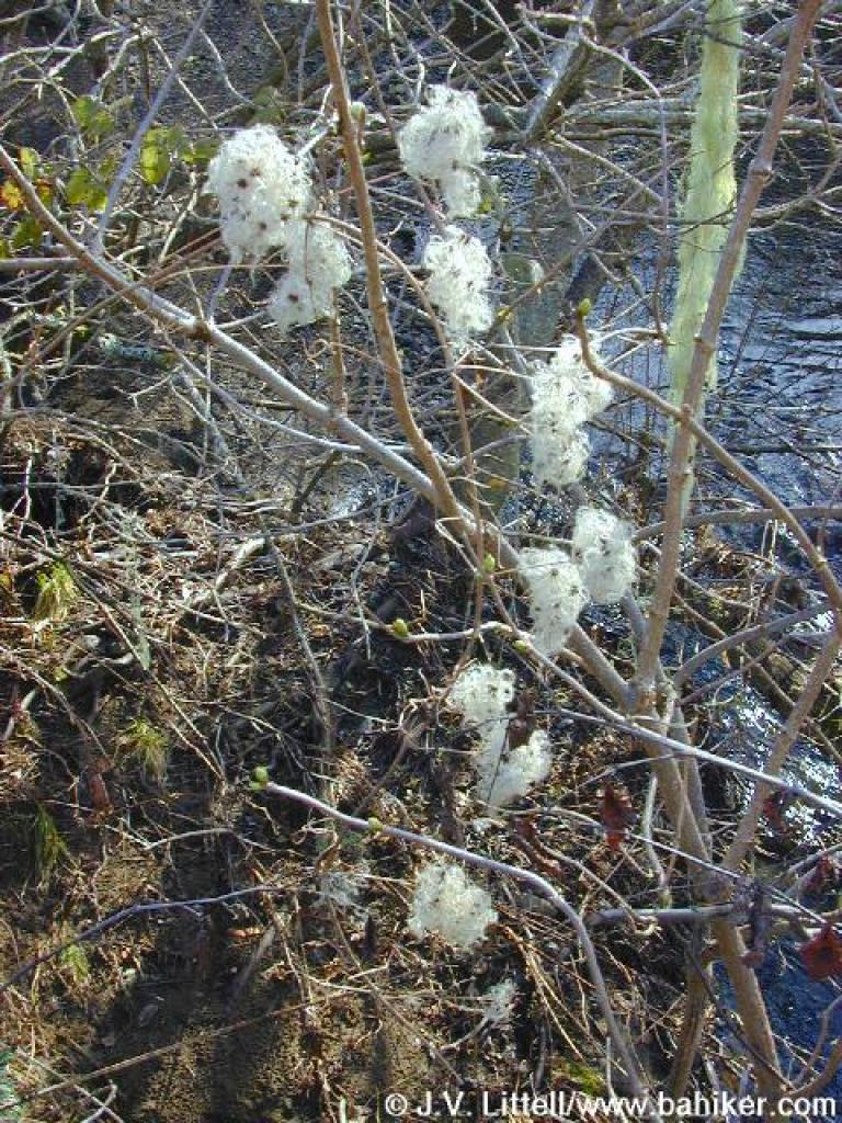 Clematis |
||||
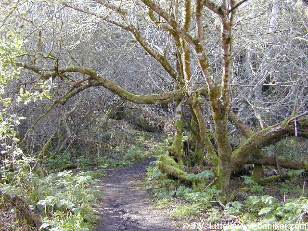 Ducking under a buckeye |
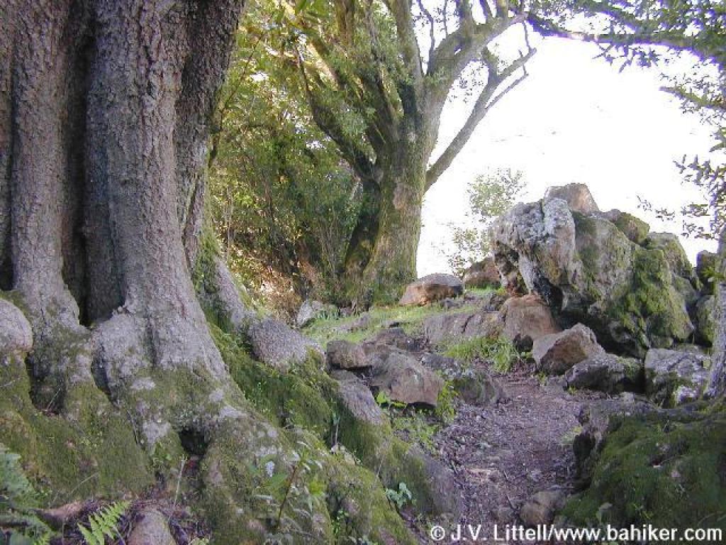 California bays and rocks |
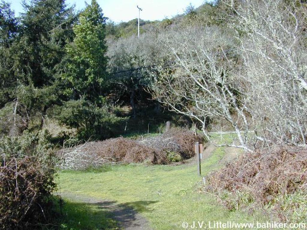
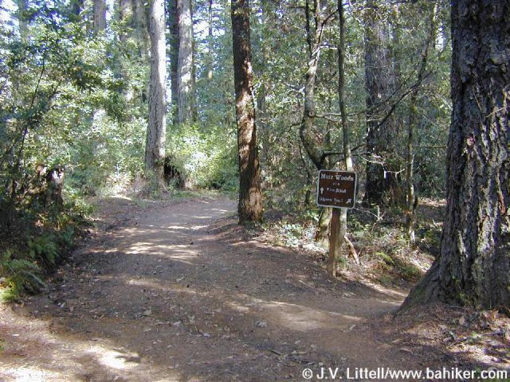
 Junction with Miwok Trail |
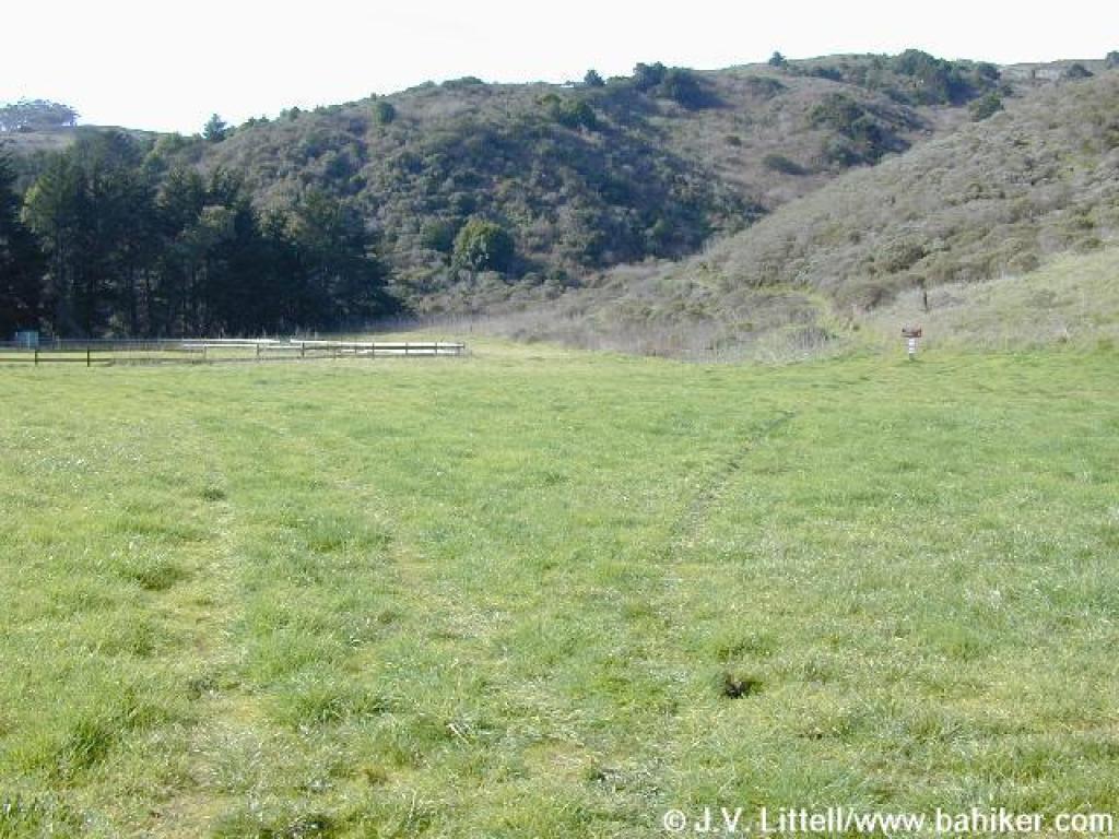
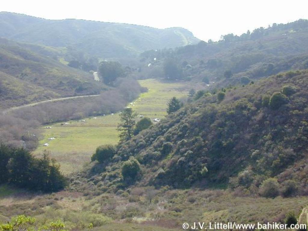
 Entering a meadow |
||||
 Path to Kent Canyon |
 Passing an old structure |
 A creeklet feeds into the creek |
 Bridge |
||||
 Trail curves left near the road |
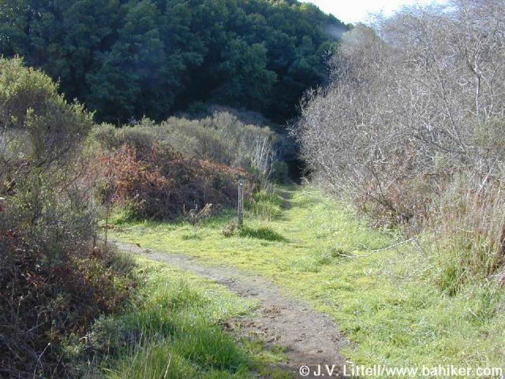
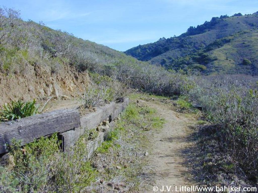
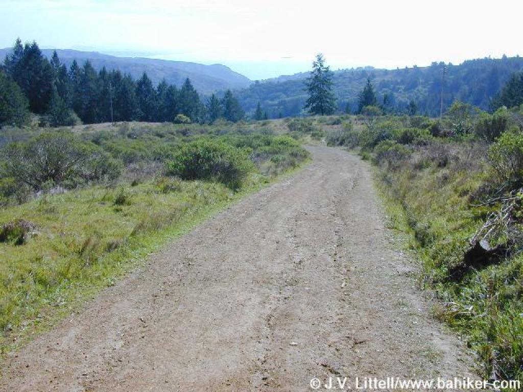
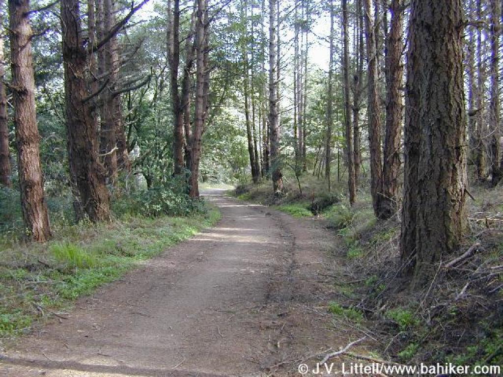
 Redwood Creek Trail |
 Last bridge |
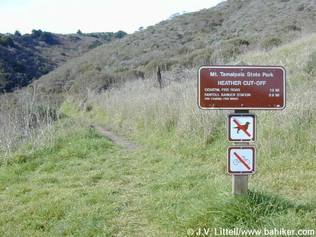
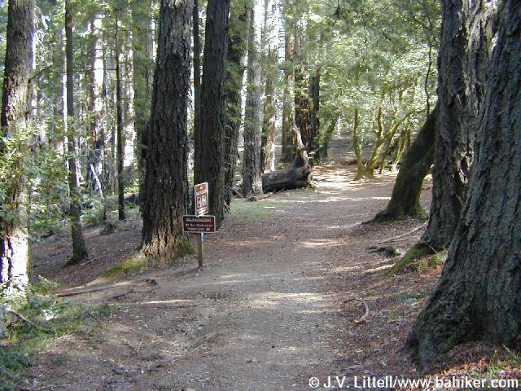
 Junction with path to Heather Cut-off |
||||
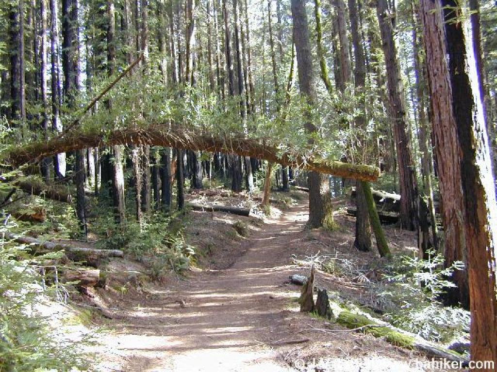
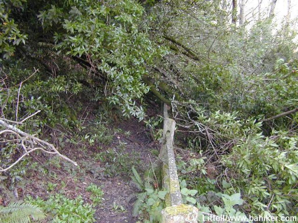 A fallen California bay blocks the trail |
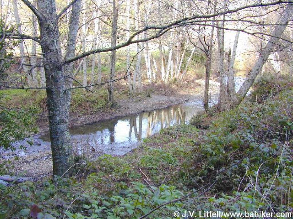 Redwood Creek |
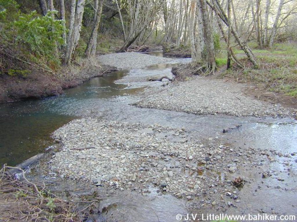 There's no real trail, but 2 logs assist in the creek crossing |
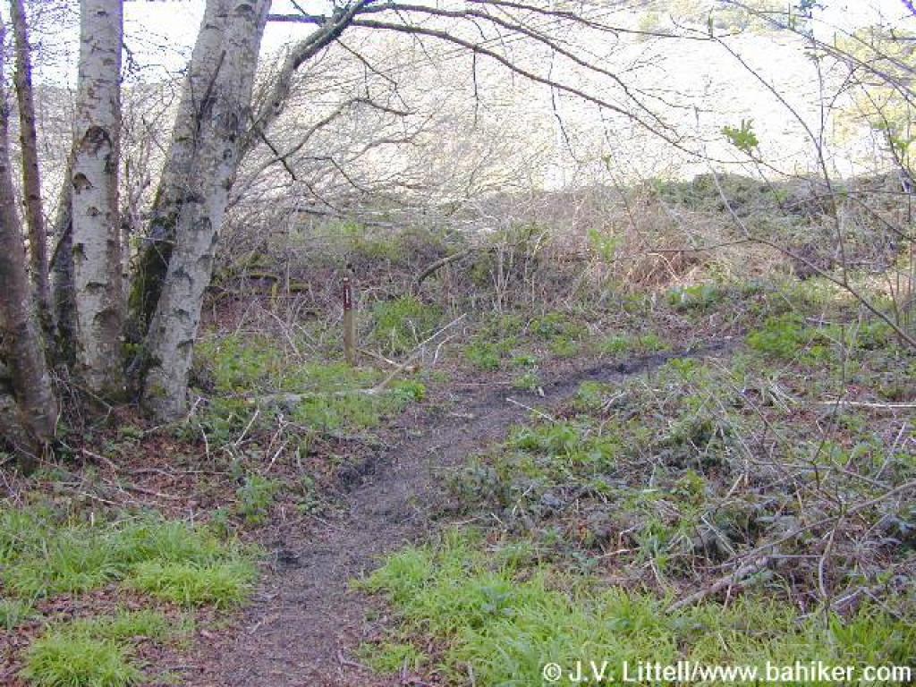 Path heads toward the road |
||||
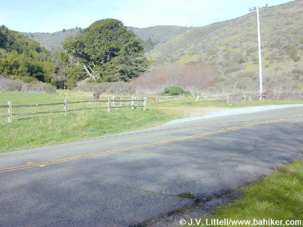 Road crossing |
 Meadow |
 Bear right for Heather Cutoff |
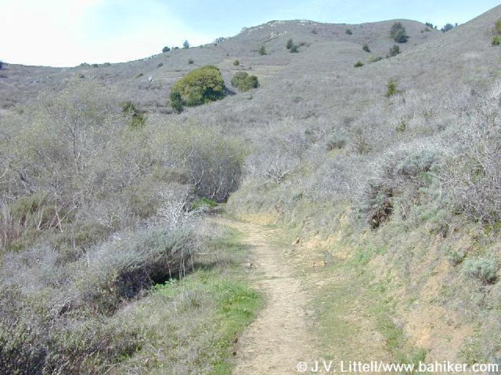
 Heather Cutoff |
||||
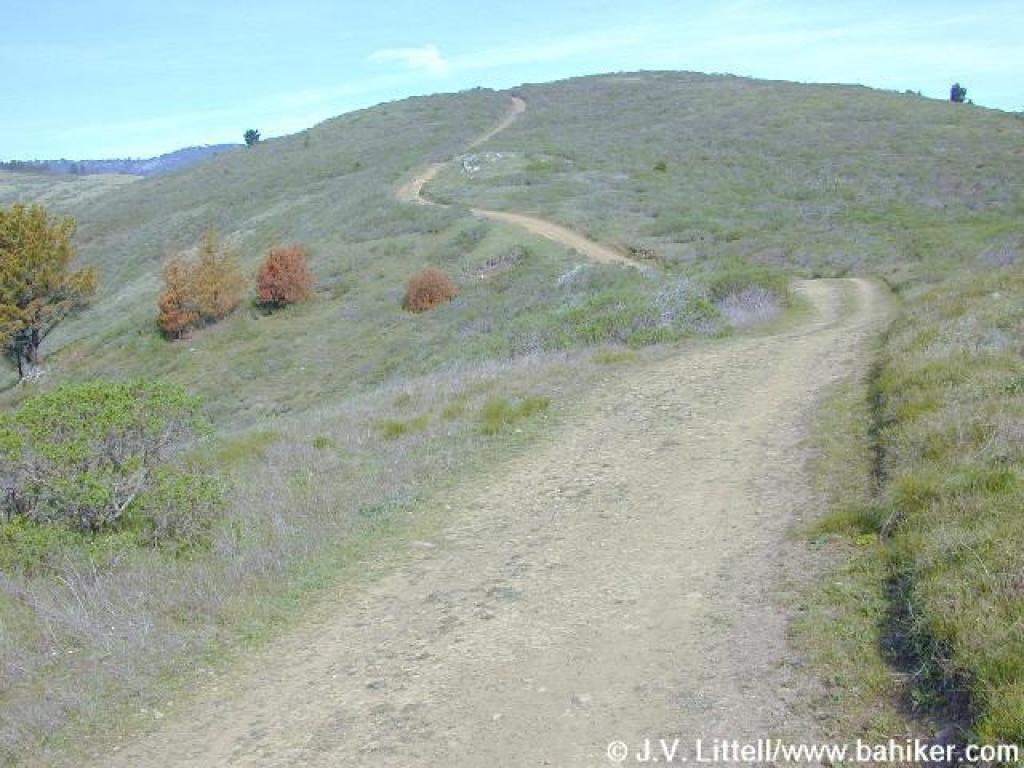
 Sagebrush lines the trail |
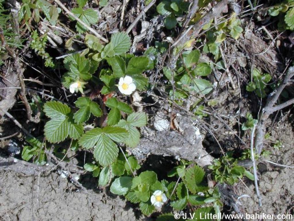 Strawberry |
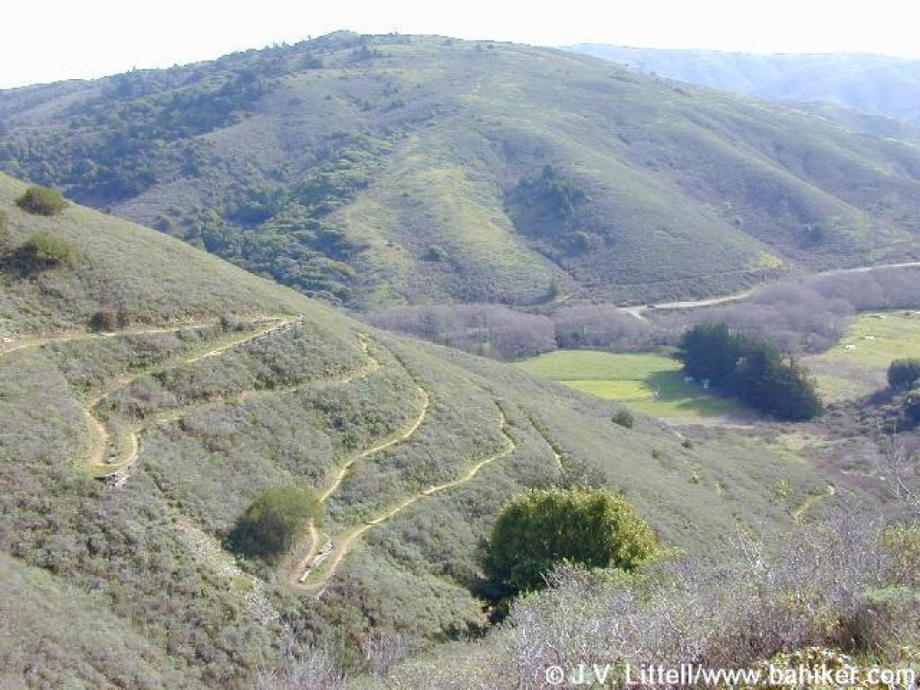
 One of the many switchbacks |
 Ascending |
||||
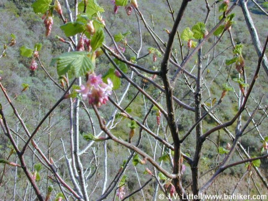 Currant |
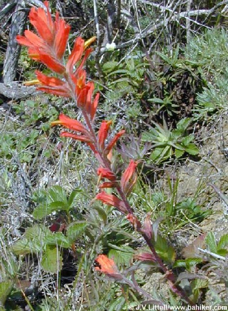 Paintbrush |
 View back downhill |
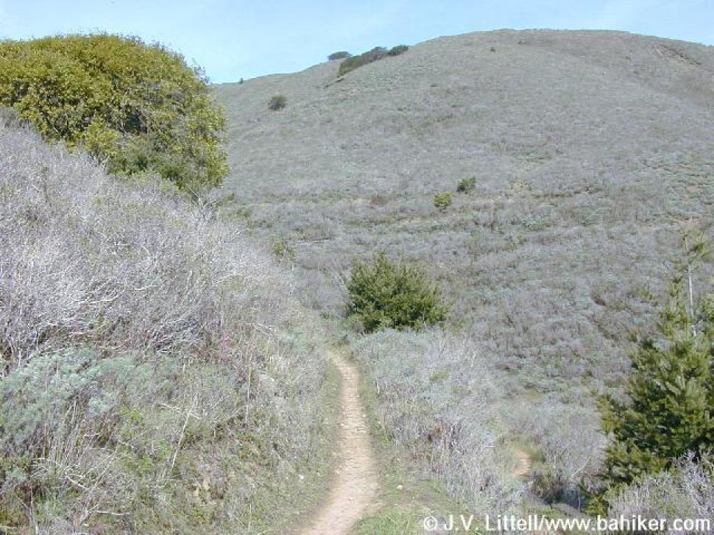
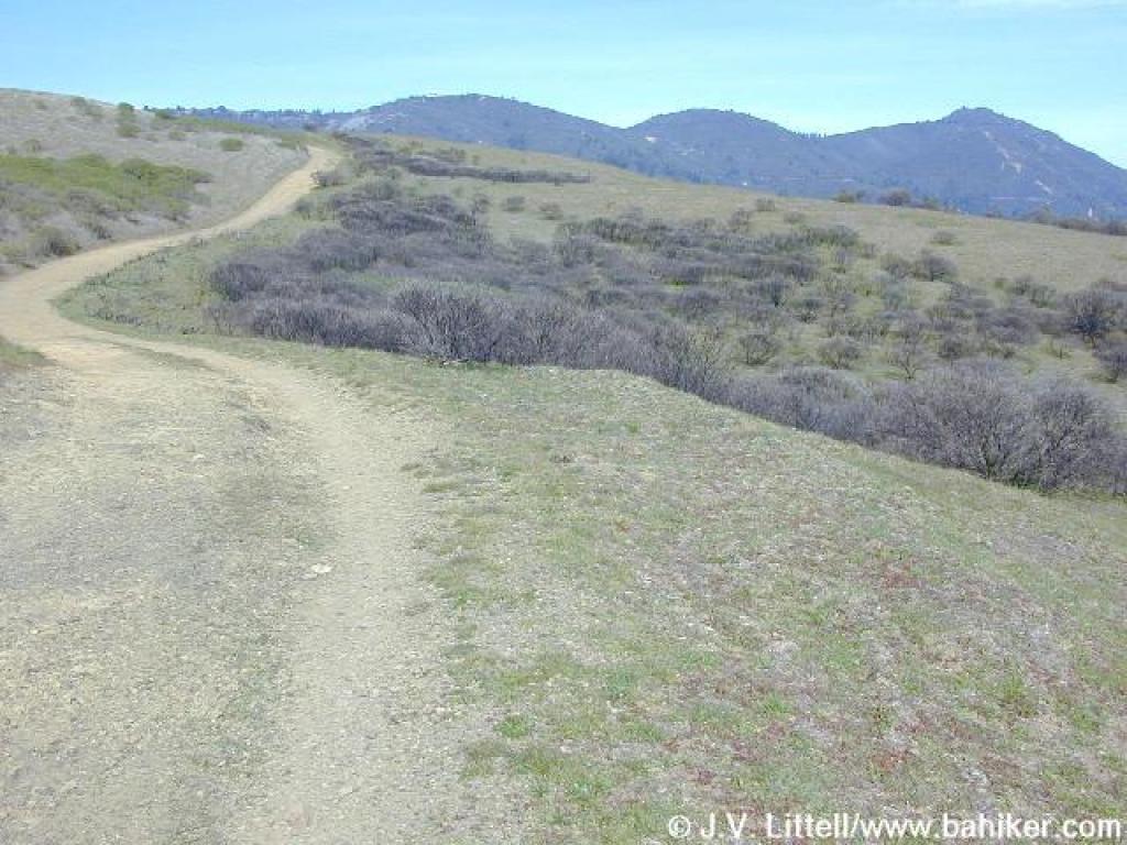
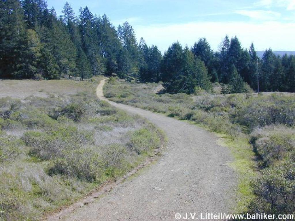
 Heather Cutoff |
||||
 View back downhill to Frank's Valley |
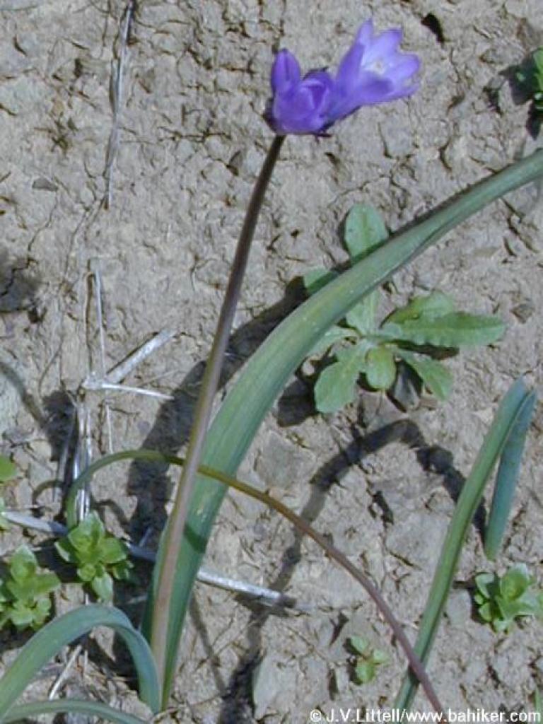 Bluedicks |
 View back downhill |
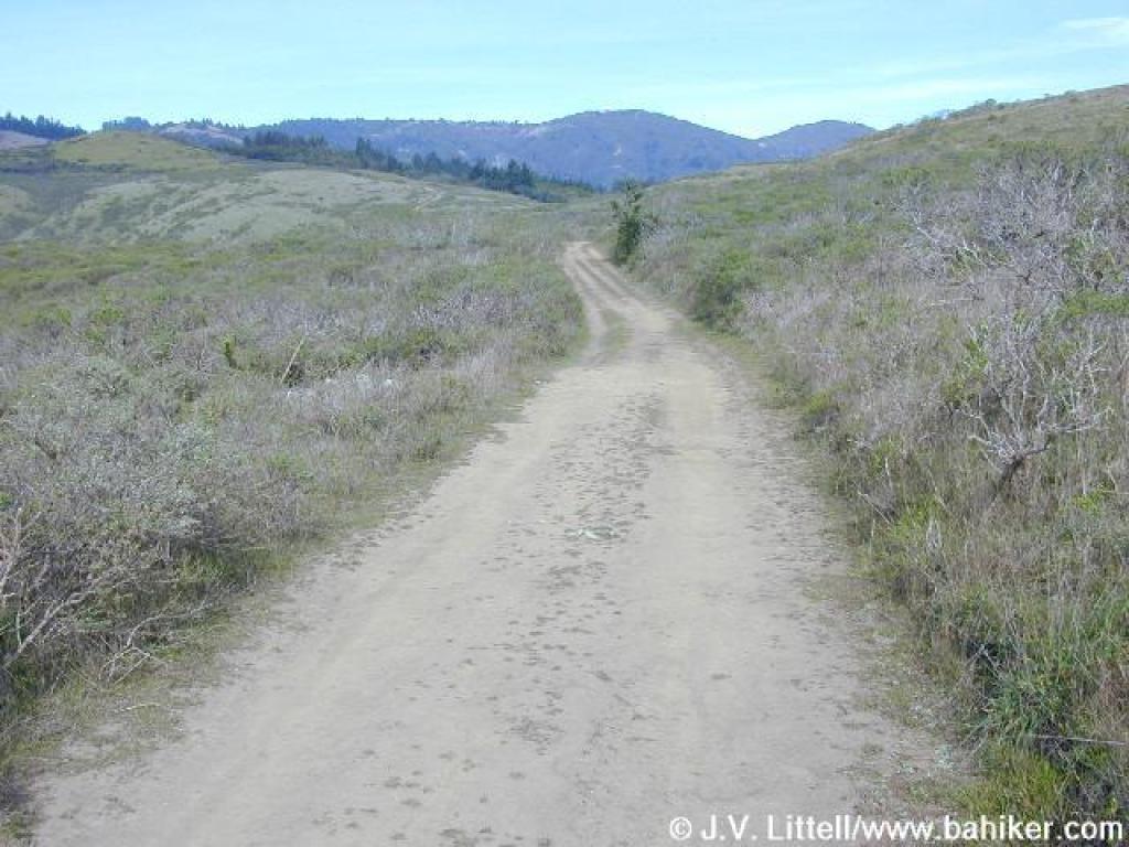
 Done with the switchbacks, the trail adopts a straight course |
||||
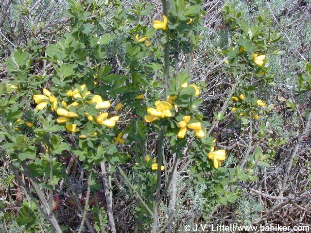 French broom |
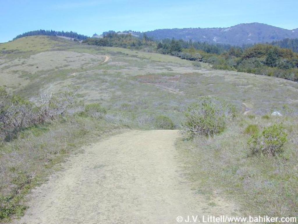
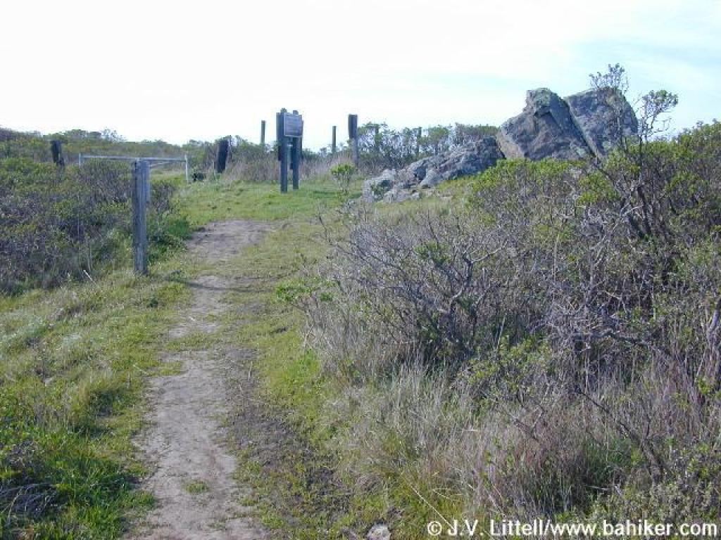 Junction with Coastal Fire Road |
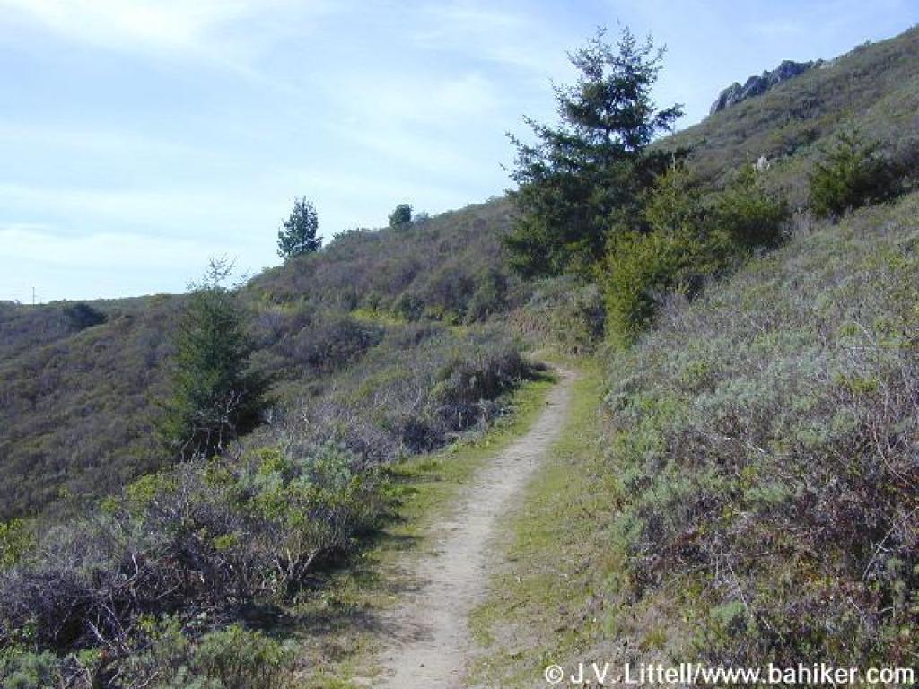
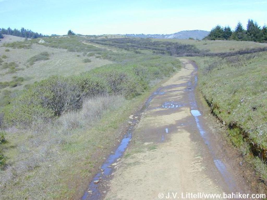
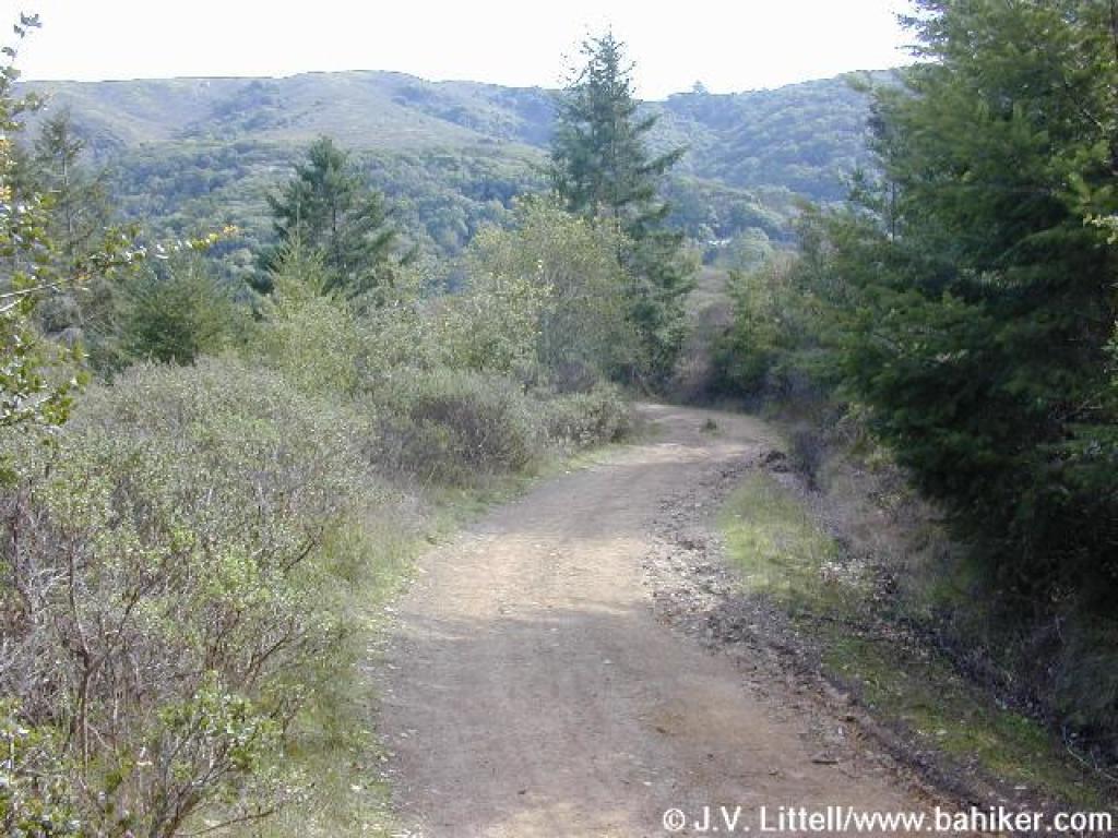
 Coastal Fire Road |
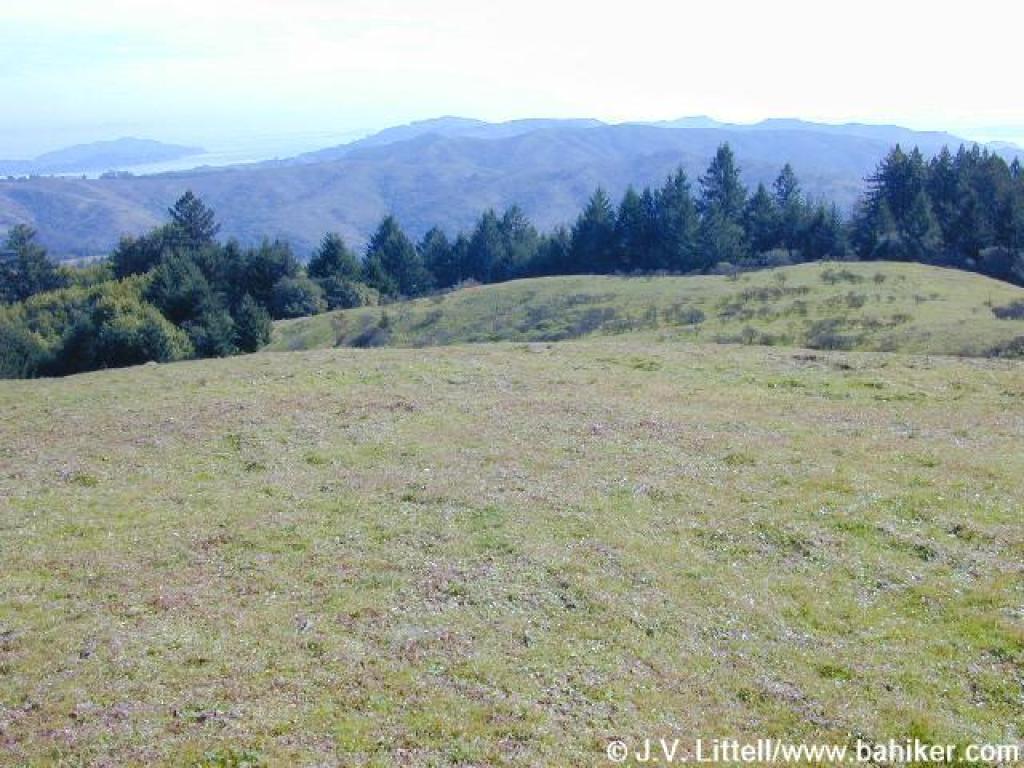
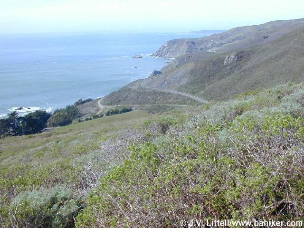 View west |
||||
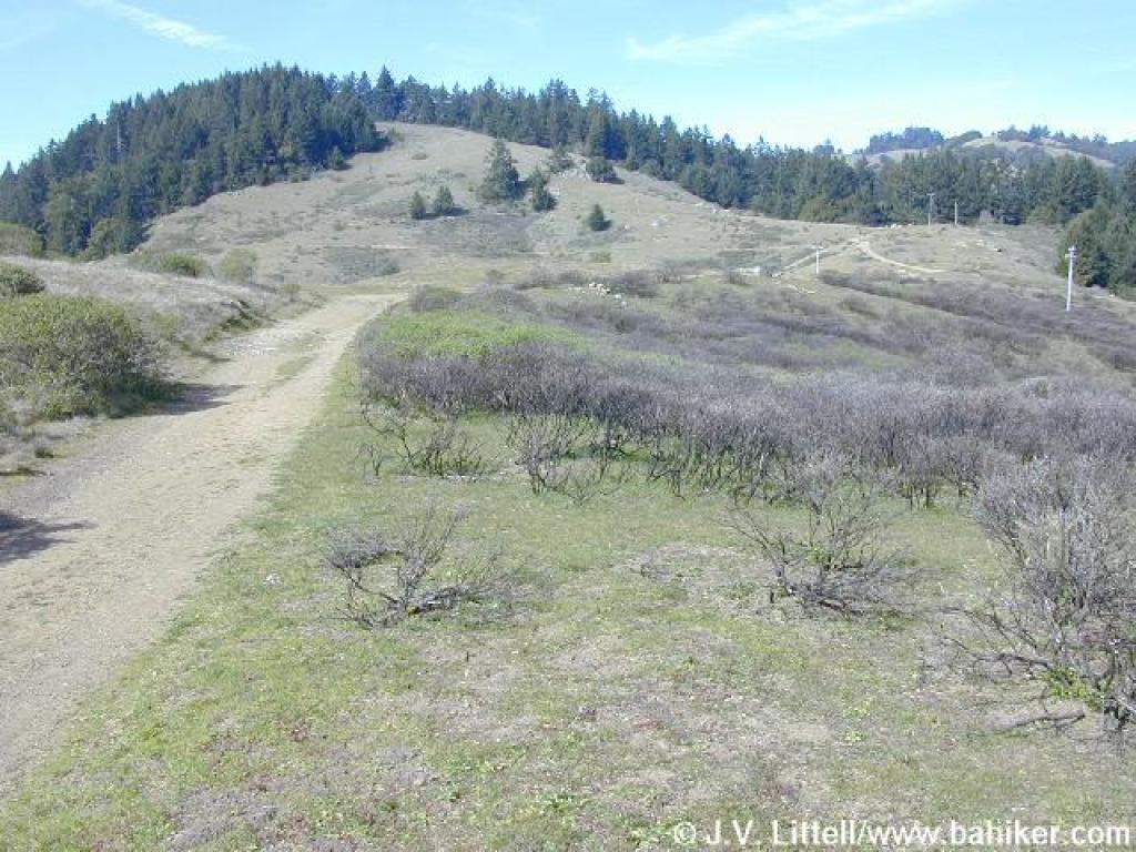
 Climbing through chaparral |
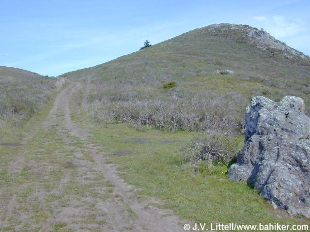
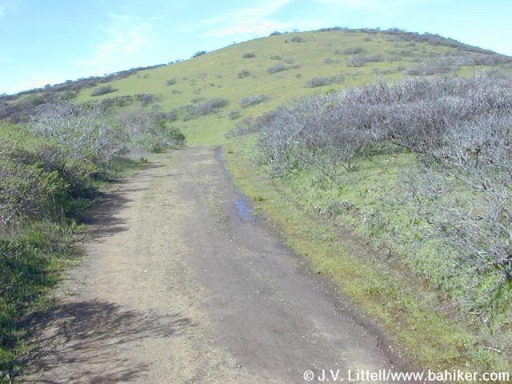
 Coastal Fire Road |
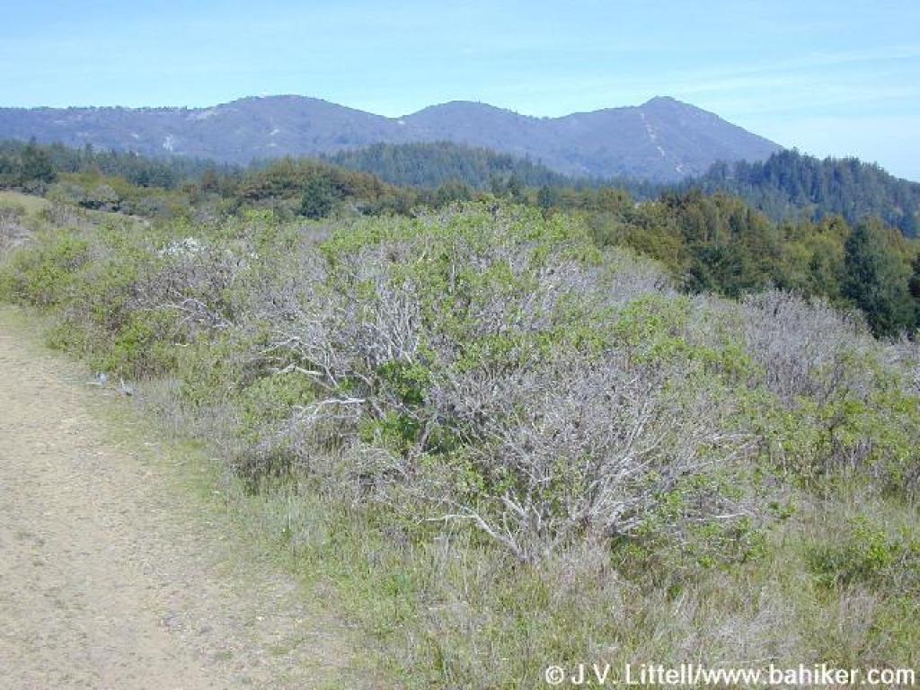
 Tam's peaks in the distance |
 View |
||||
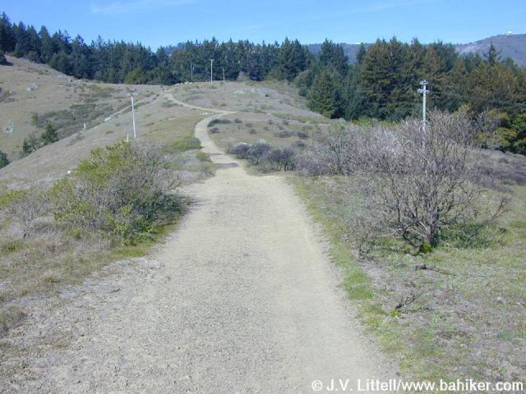
 The long climb continues |
 Right side of the trail is lush, the result of a controlled bush |
 Coastal Fire Road |
 Another nice view of Mount Tam's peaks |
||||
 View southeast |
 End of the climb is in sight |
 Approaching border with Muir Woods |
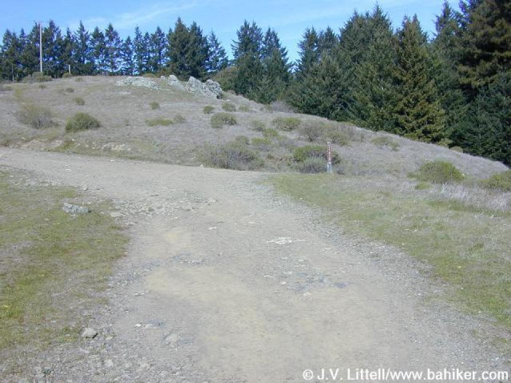 Junction with Deer Park Fire Road |
||||
 Last view south |
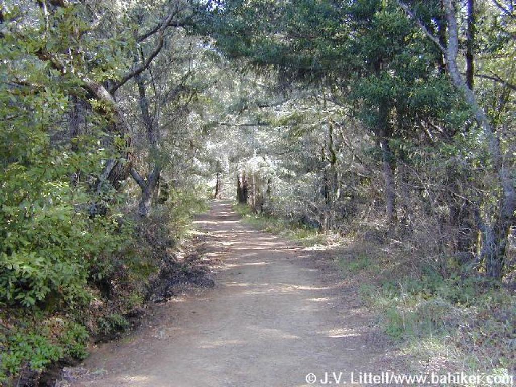
 Redwood and fir |
 Deer Park Fire Road |
 Junction with Dipsea Trail |
||||
 Another of the many Dipsea junctions |
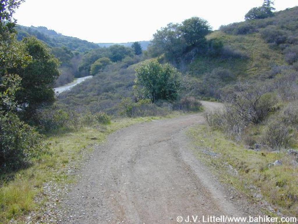
 Deer Park Fire Road |
 Junction with Ben Johnson Trail |
 California bay over the trail |
||||
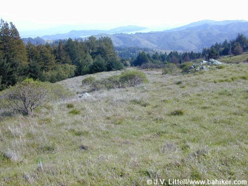
 Back in grassland |
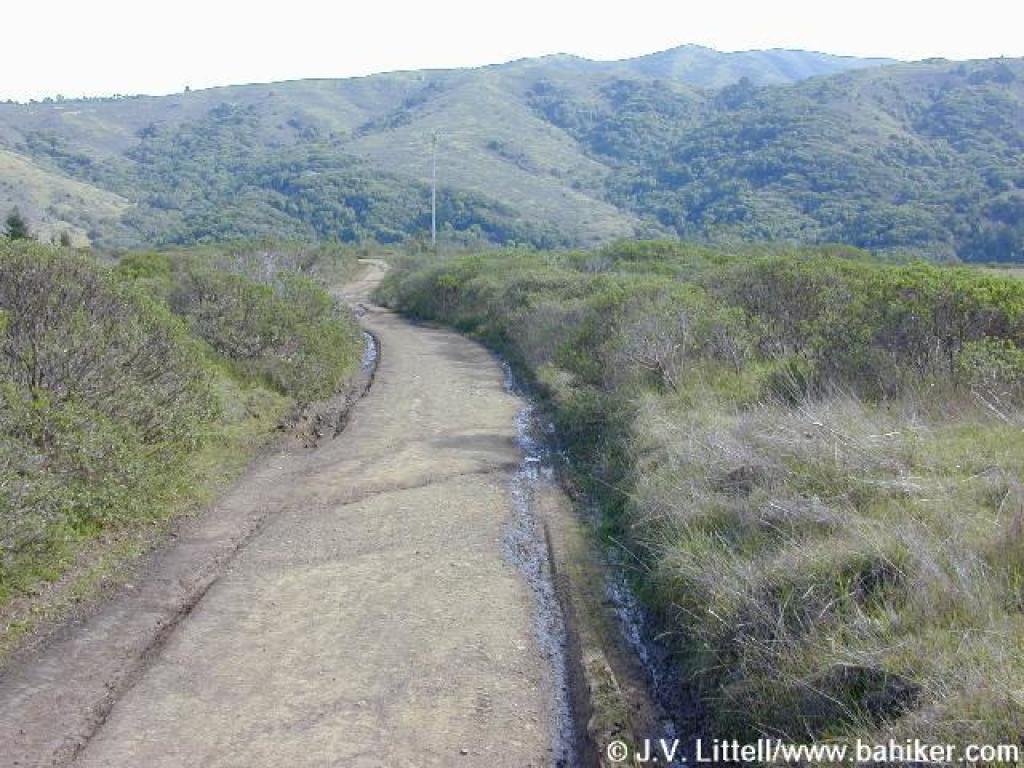
 Deer Park Fire Road |
 View across the valley to Dias Ridge |
 Brief wooded stretch |
||||
 Deer Park Fire Road |
 Last Dipsea junction |
 Woods along the lower reaches of the fire road |
 Milkmaids |
||||
 Deer Park Fire Road |
 Approaching the road |
 End |
Go to Bay Area Hiker Muir Woods Road page Go to Bay Area Hiker Home page |
||||