| Photos
from a May 2002 hike at San Pedro Mountain Open Space Preserve (click on any image for a larger view) |
|||||||
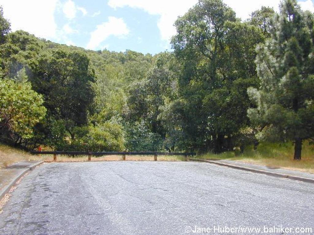 Trailhead |
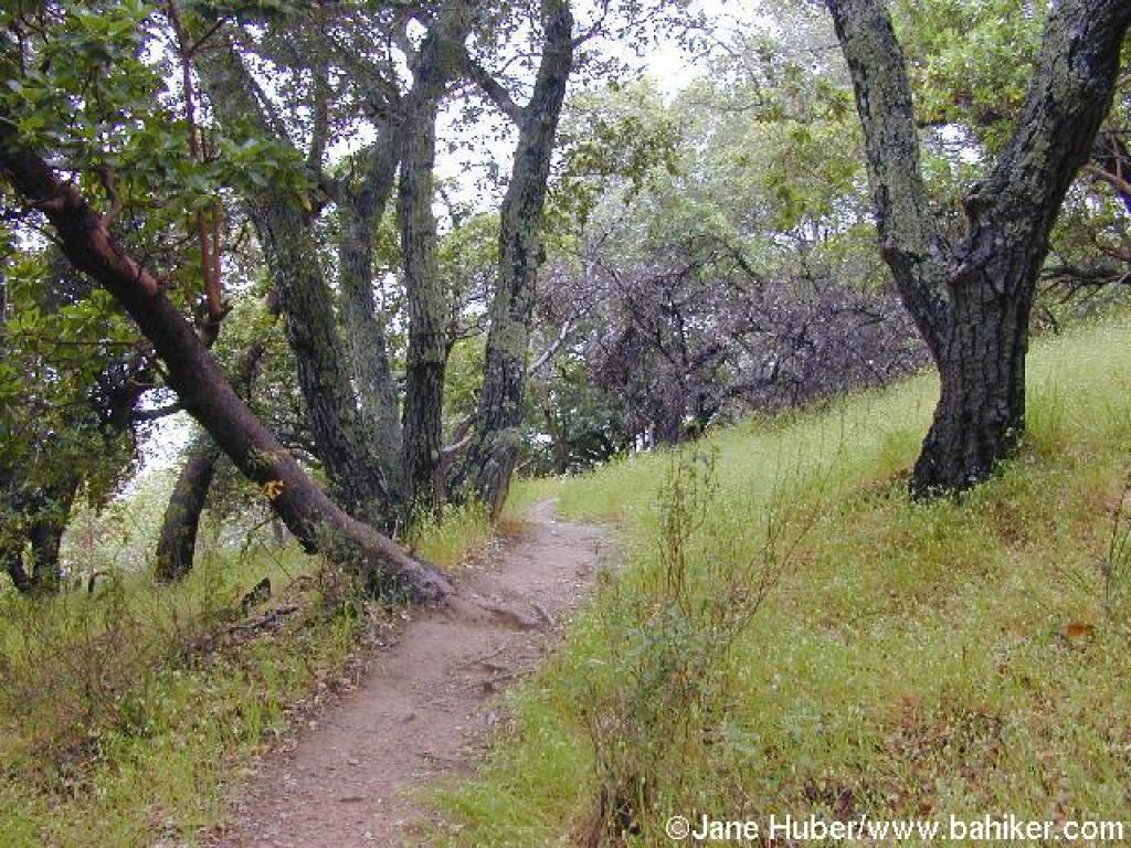
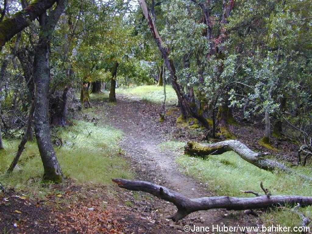
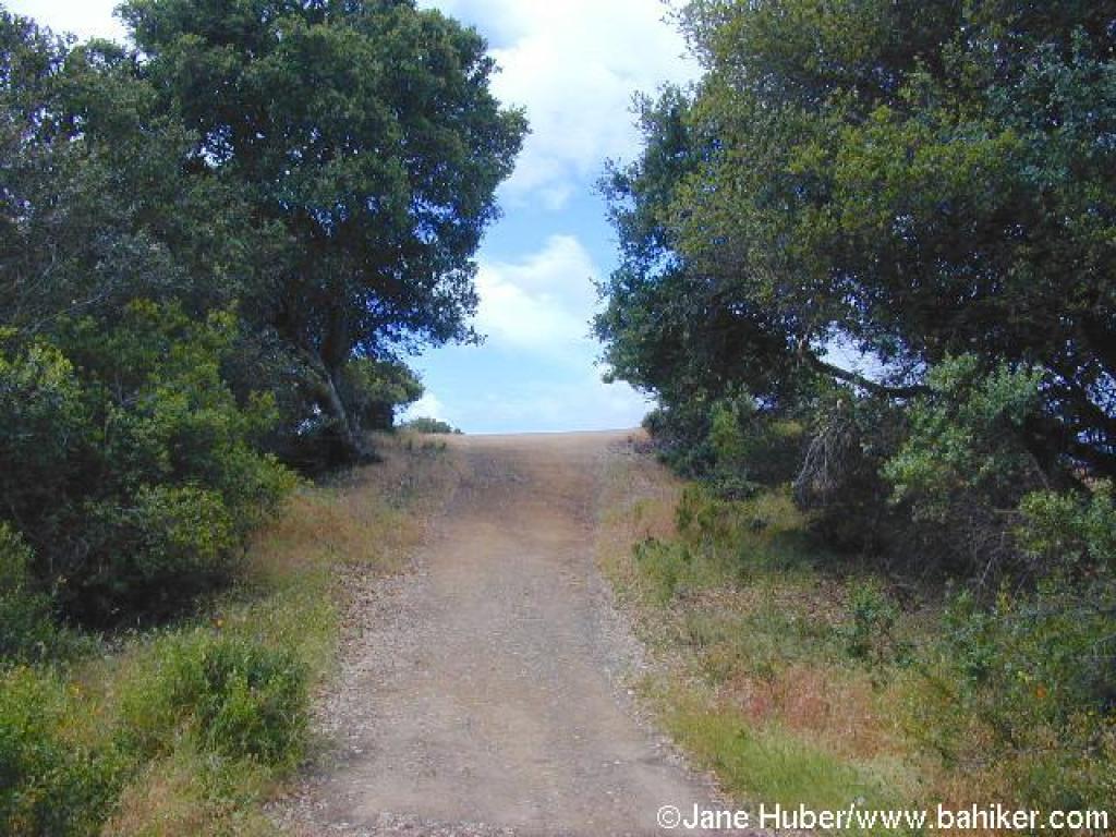
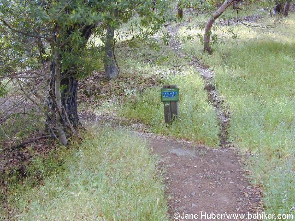 Start of Woodoaks Trail |
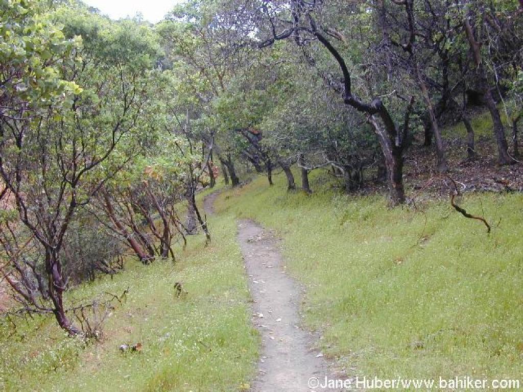 Grassland and manzanitas line the trail |
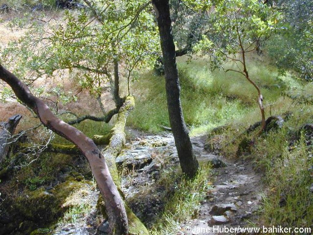 Crossing a seasonal creek |
||||
 Trail is shaded by madrone, California bay, and coast live oak |
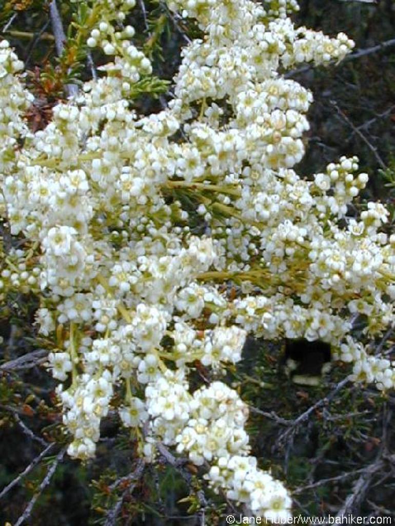
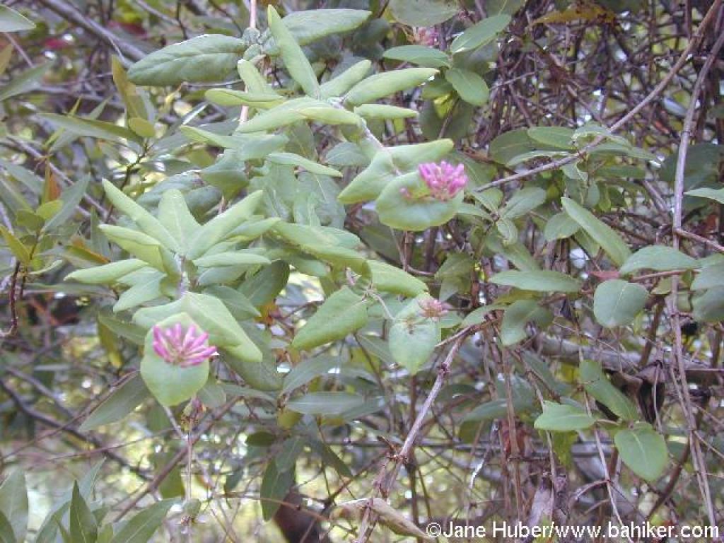 Honeysuckle |
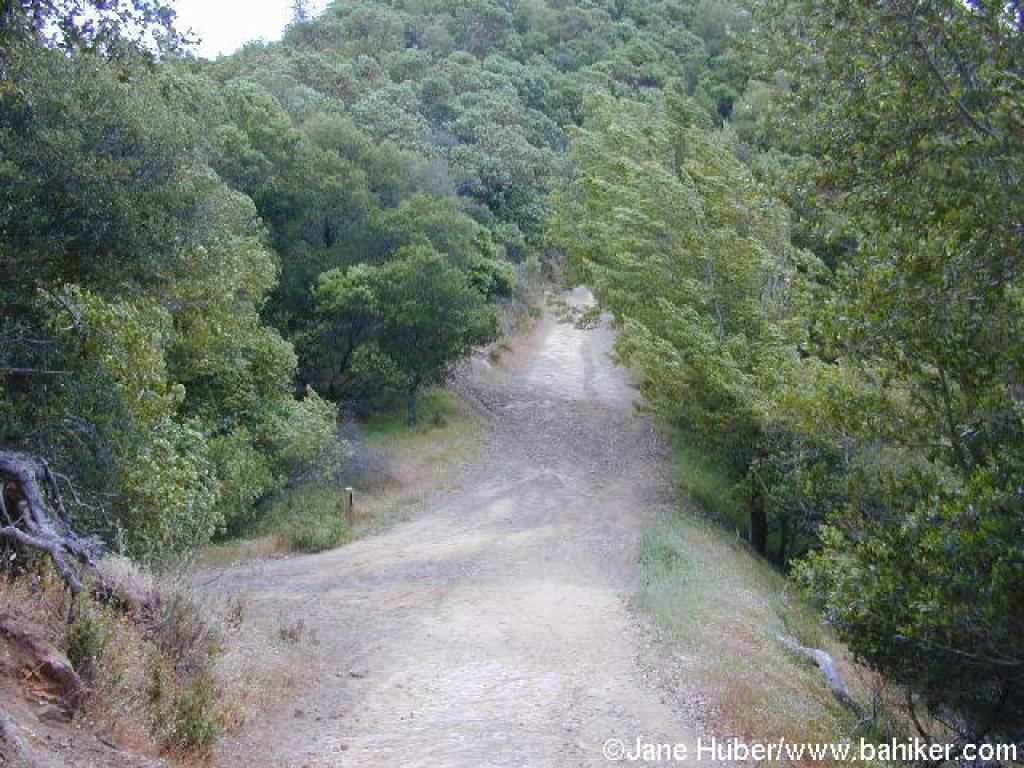
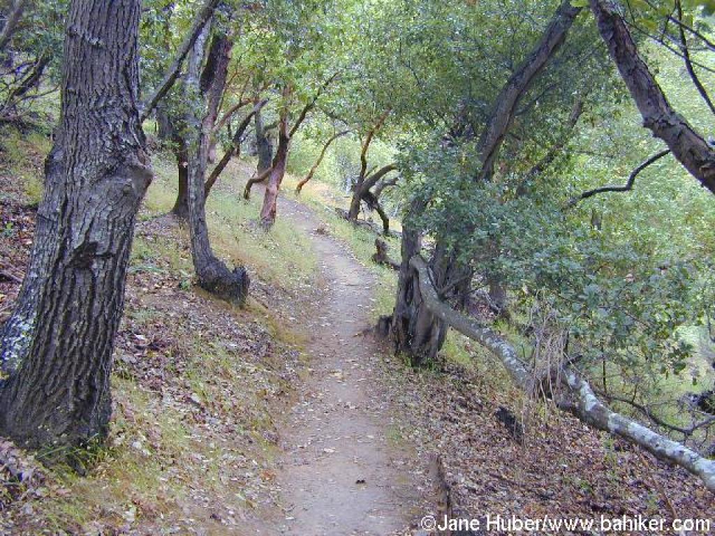 Ascending along the slopes of a canyon |
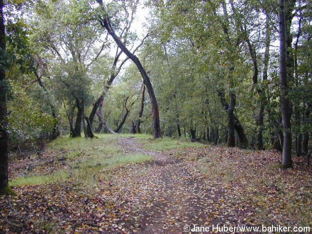
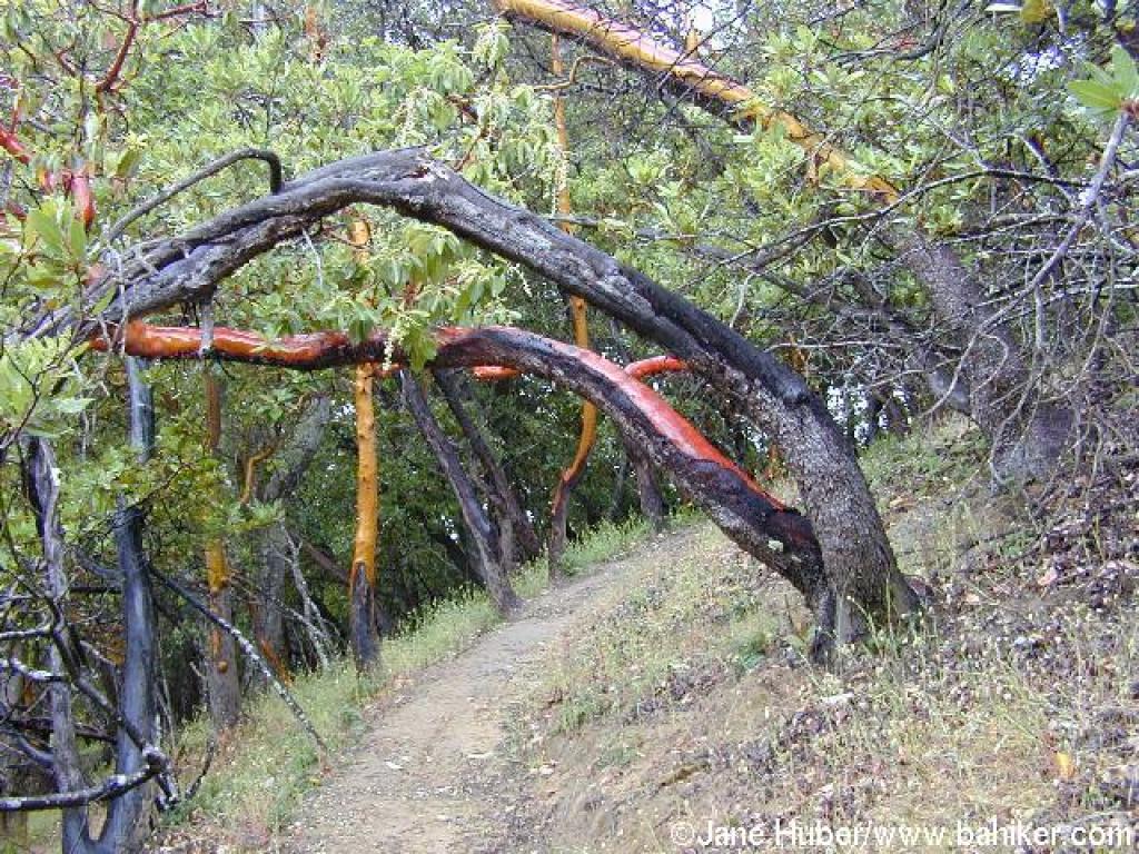 A madrone arching over the trail |
||||
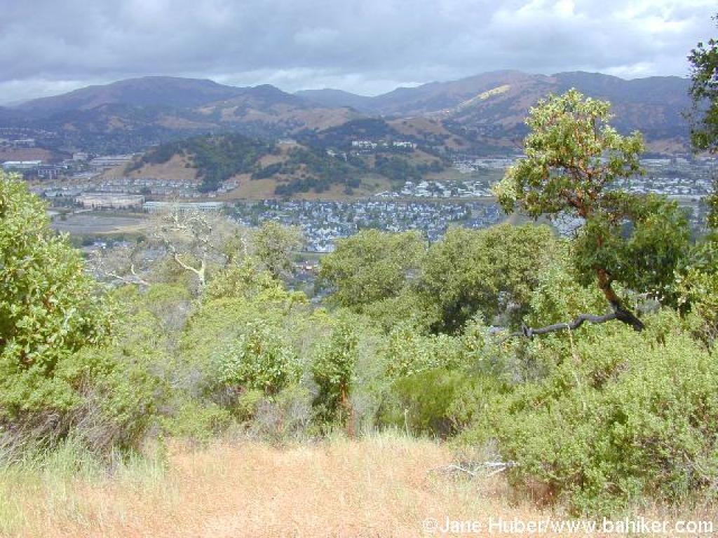 View northwest |
 Branches litter the sides and sometimes cross the trail |
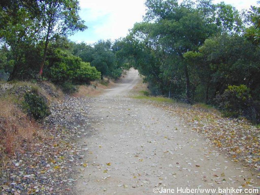
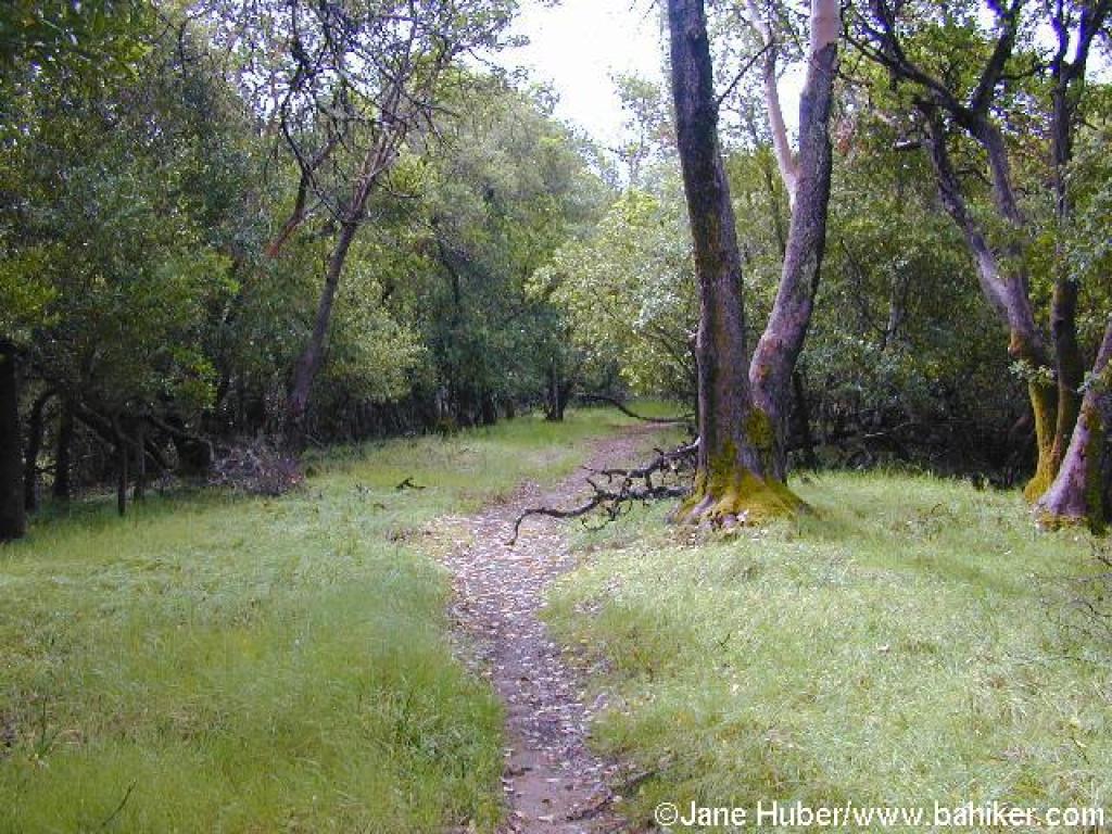 A grassy stretch |
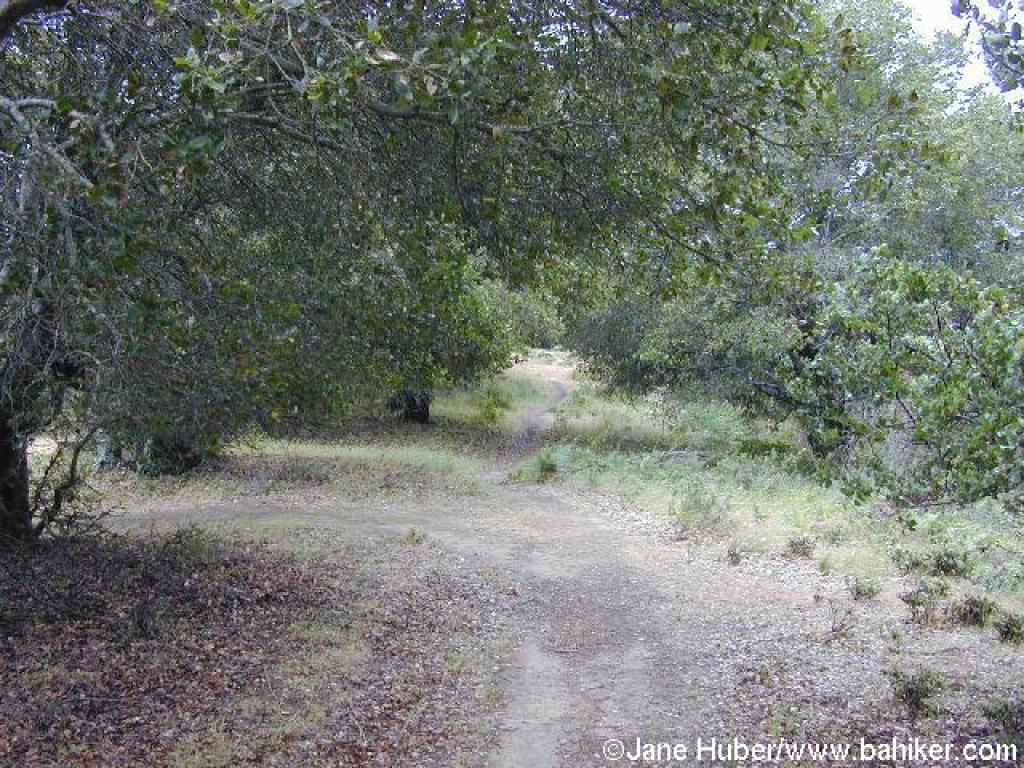
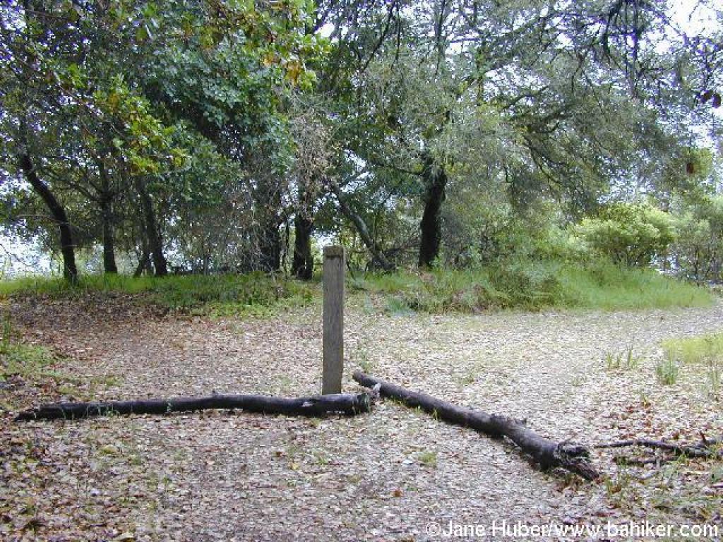 Trail forks at the crest |
||||
 Path along the ridgeline |
 View southeast |
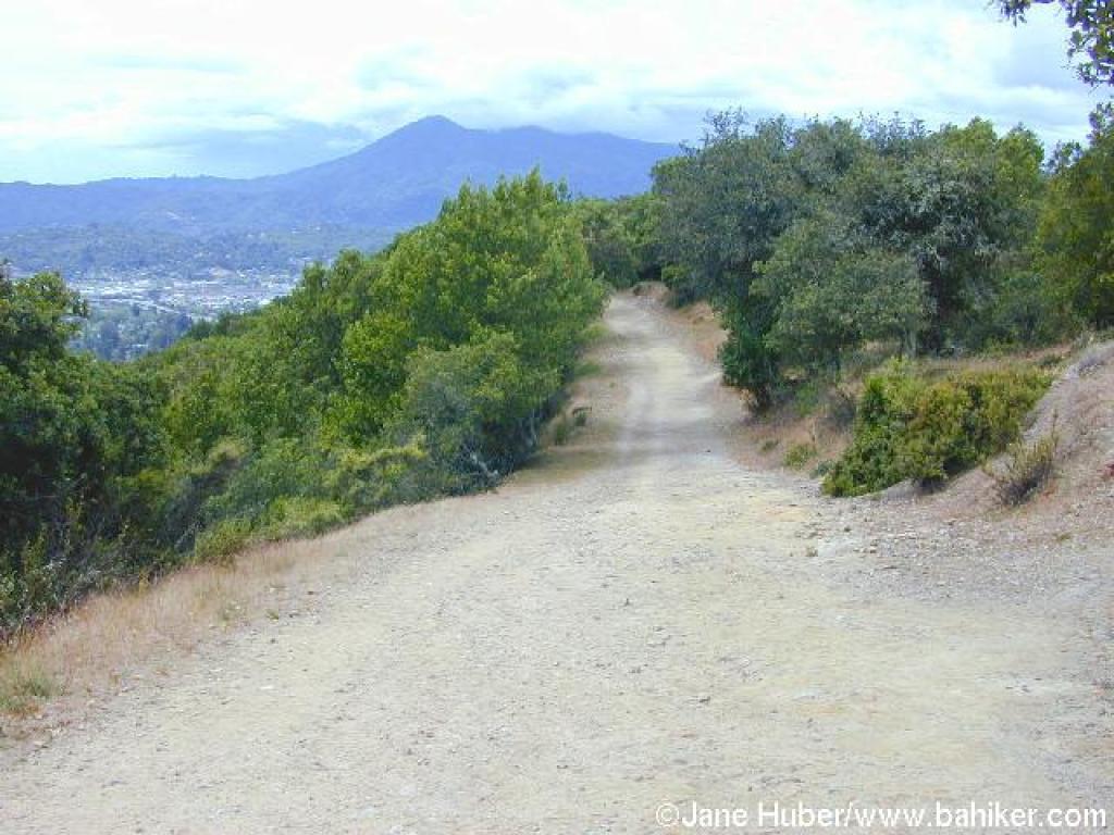
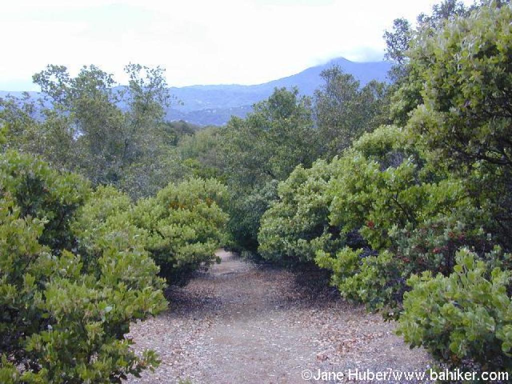 A thick stand of manzanita, and a view to Mount Tam |
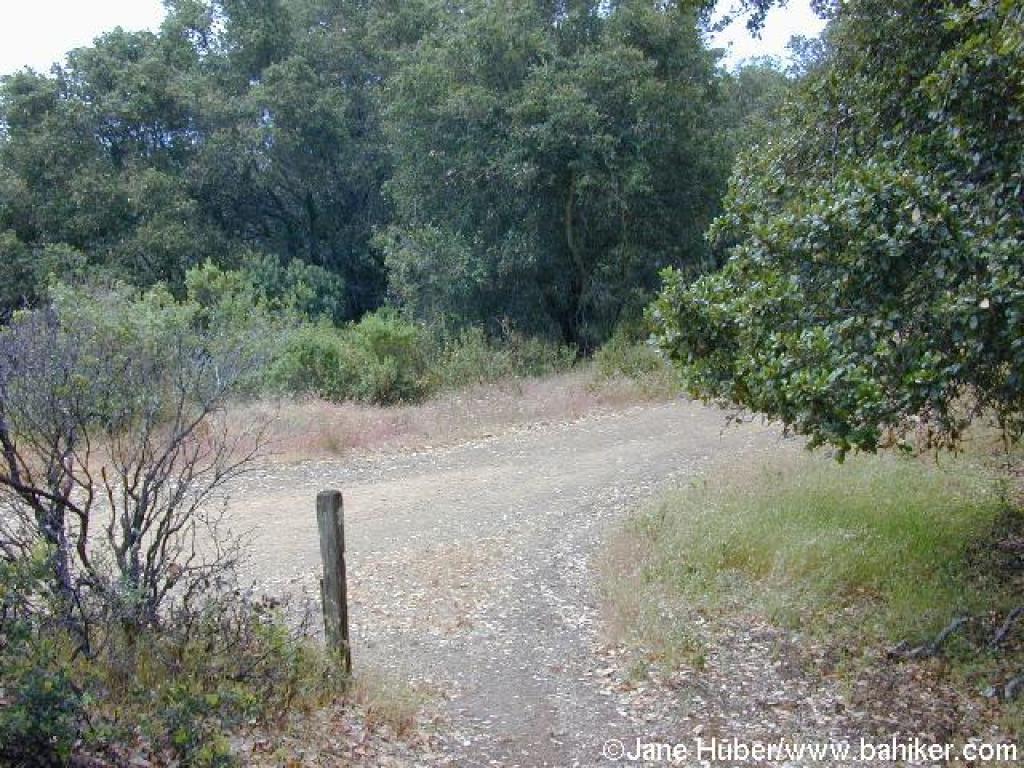 Junction |
||||
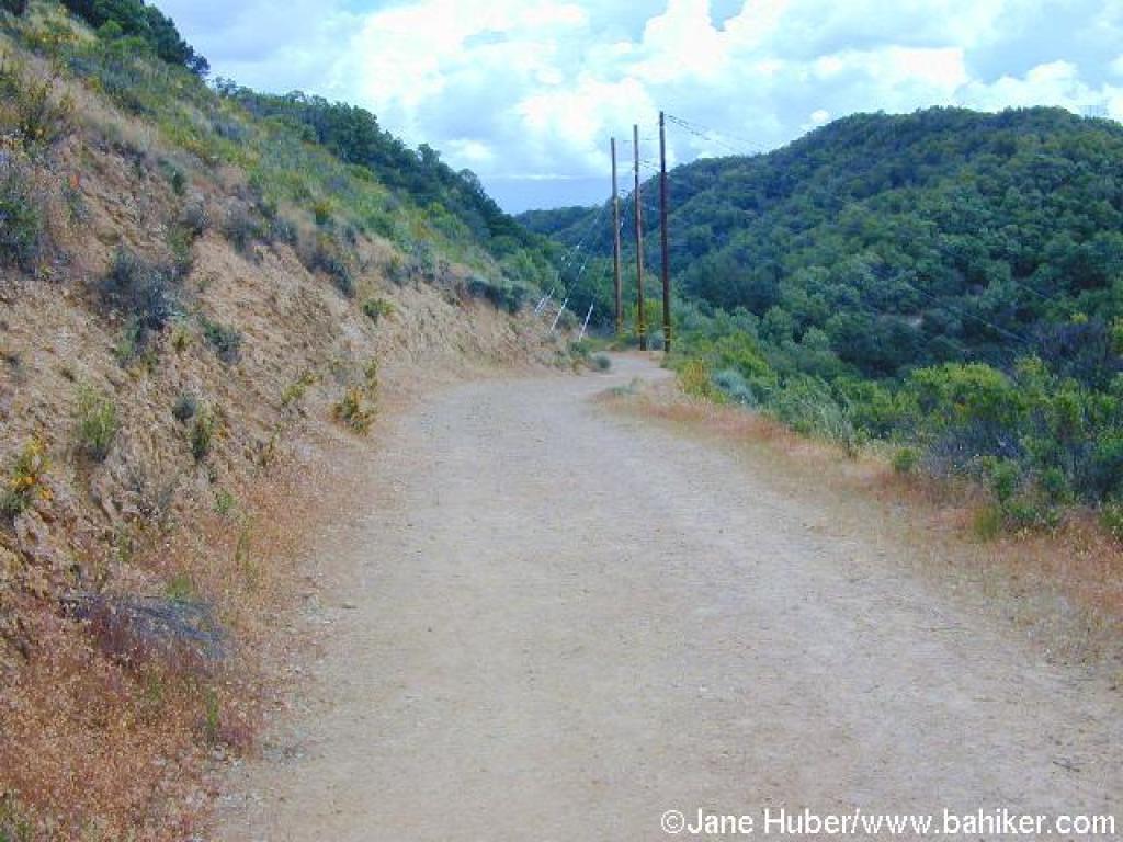
 Heading west on San Pedro Mountain Fire Road |
 View to Mount Tam |
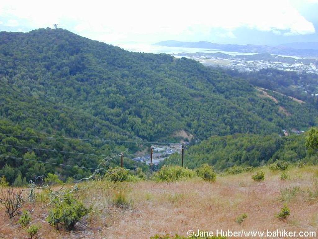
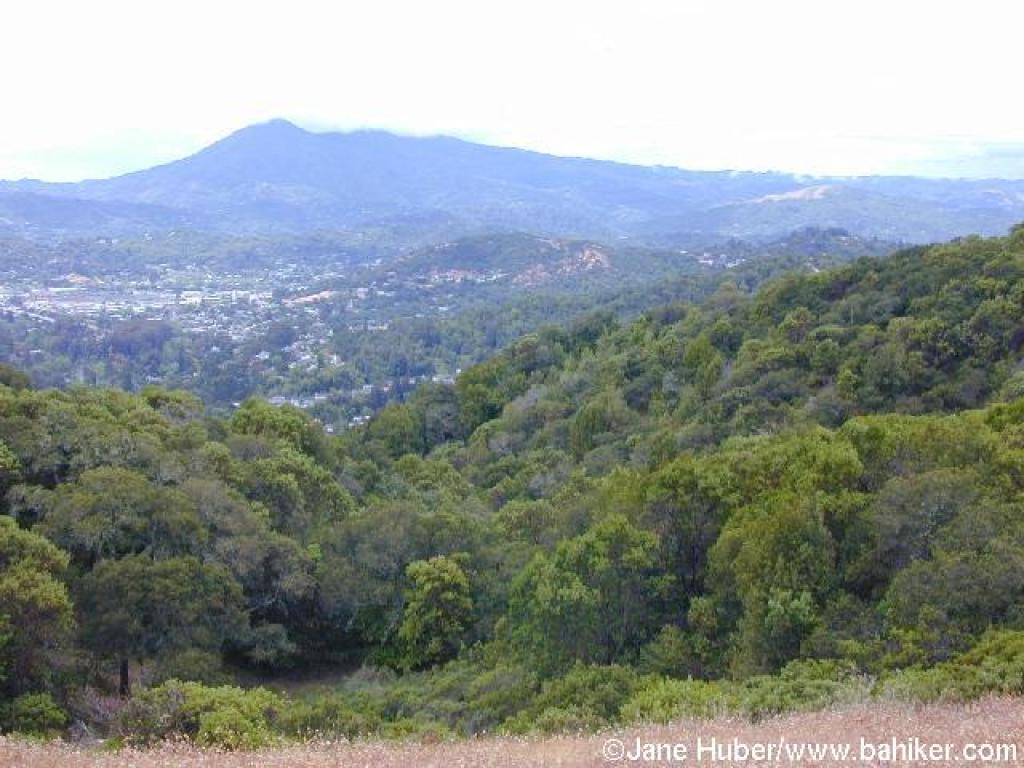
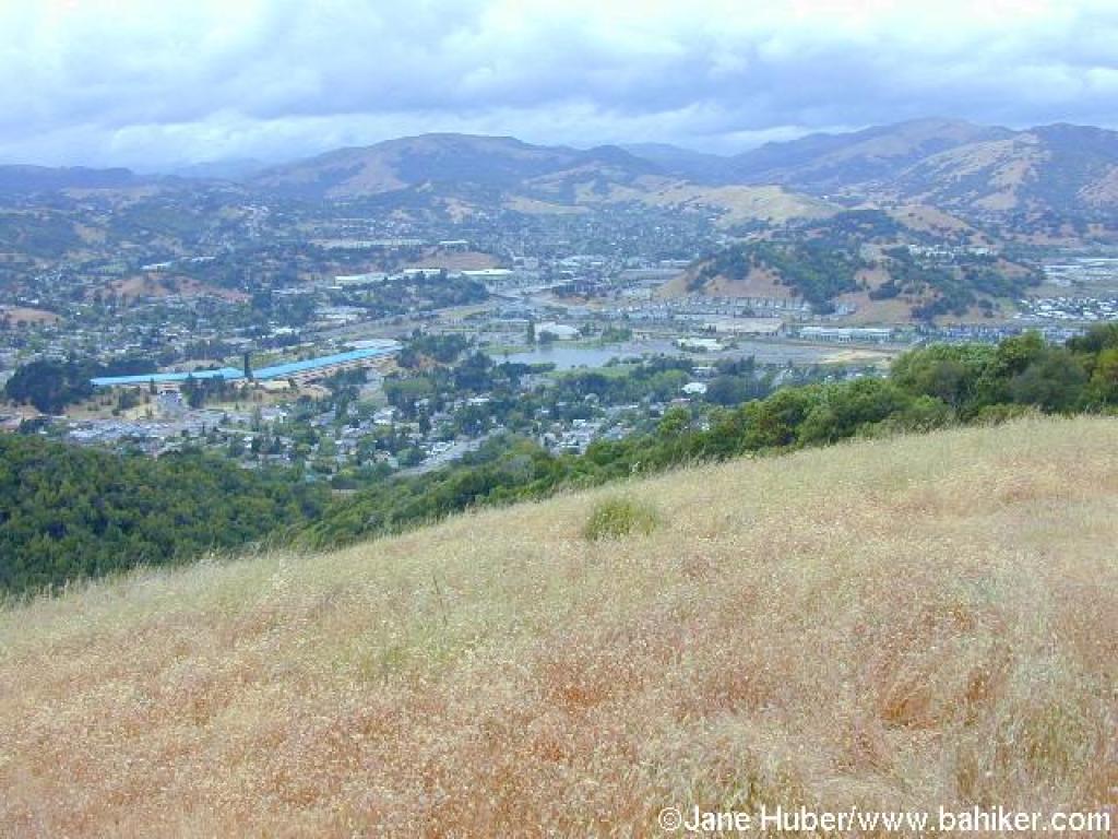 View north to Marin Civic Center |
 Traveling east on San Pedro Mountain Fire Road |
||||
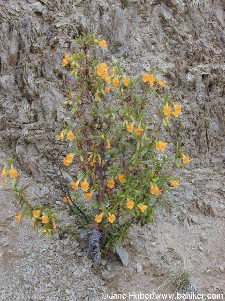 Sticky monkeyflower |
 Approaching a junction with a trail not on the map |
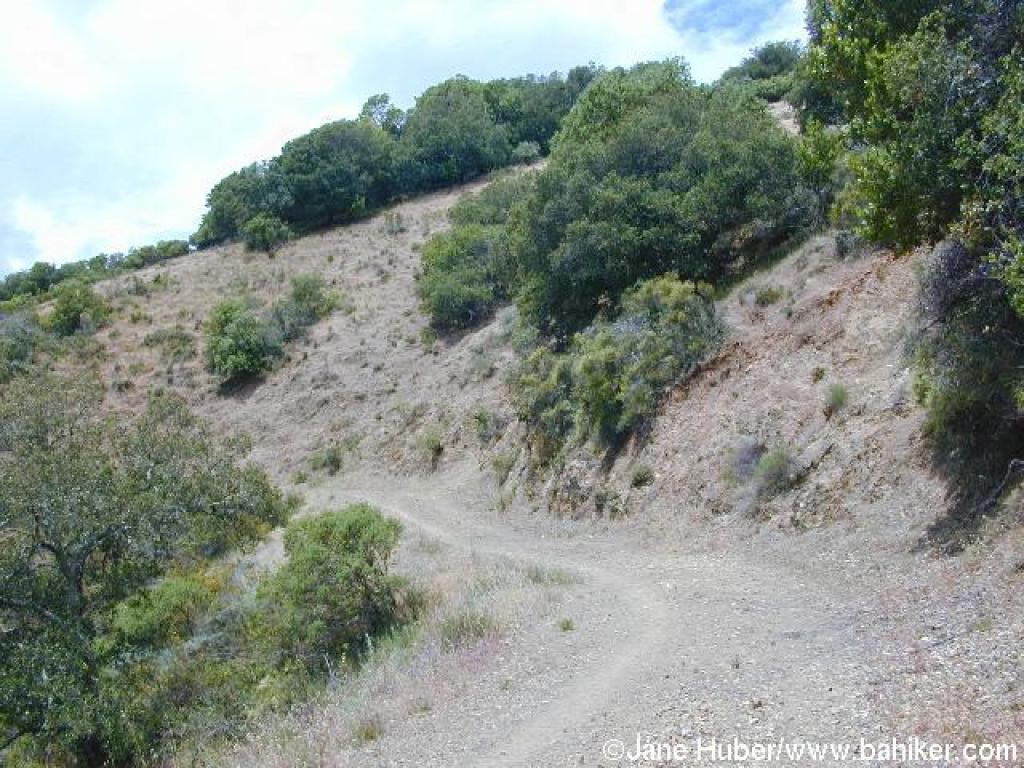
 Ascending |
 Chamise |
||||
 A relatively level stretch of the fire road |
 Approaching a junction and the end of the fire road |
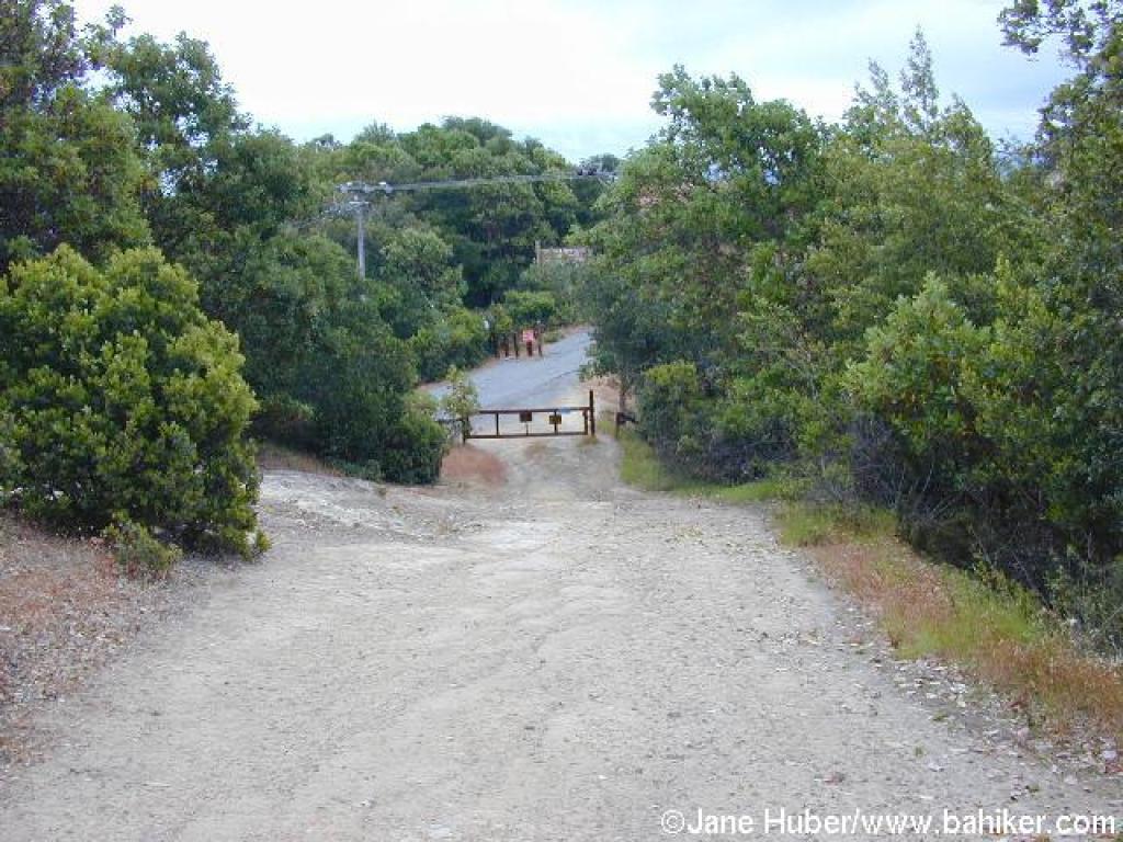
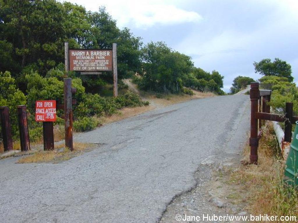 Entering Barbier Park |
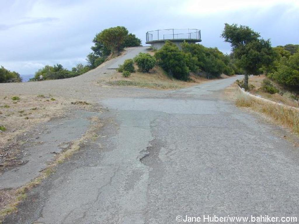 Nike missile site |
||||
 Another nice view south |
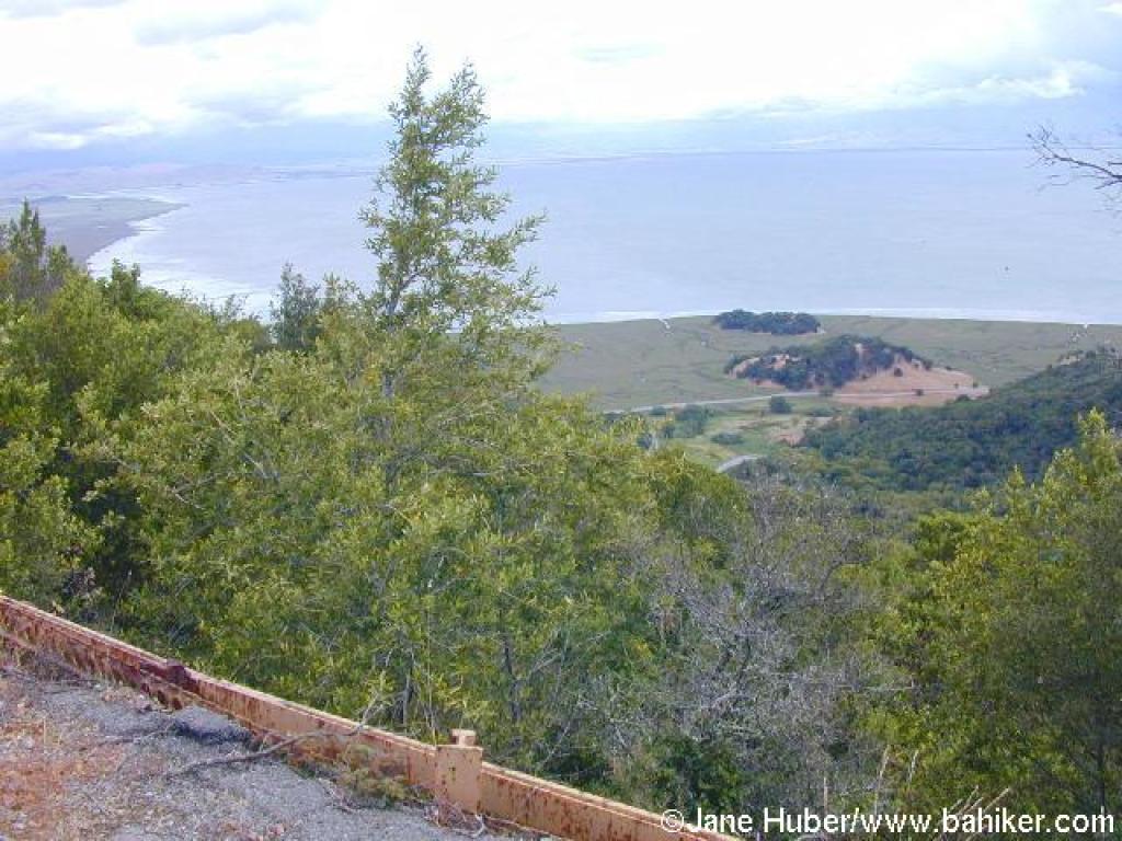 View north, past China Camp, to the bay |
 Return |
 Return |
||||
 Return |
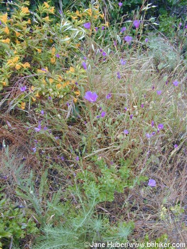 Clarkia |
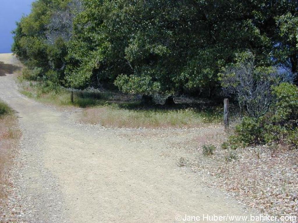 Junction, again |
 Return down Woodoaks Trail |
||||
 Return |
Go to Bay Area Hiker San Pedro Mountain page Go to Bay Area Hiker Home page |
||||||