| Photos
from a May 2002 hike at Sky Oaks (Mount Tamalpais) (click on any image for a larger view) |
|||||||
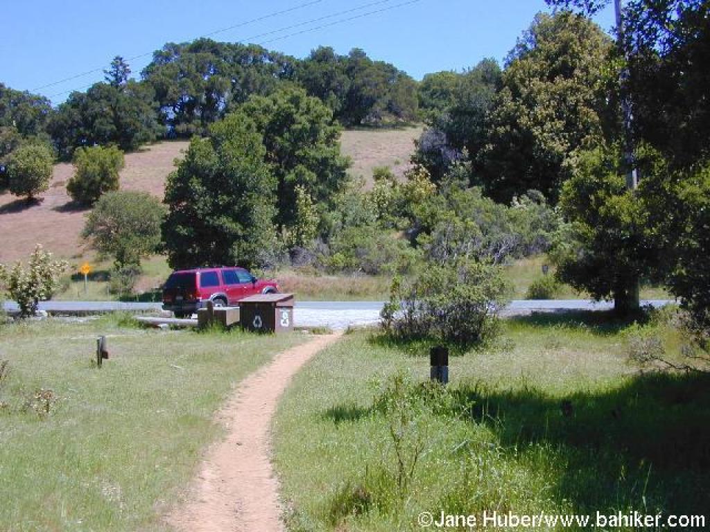
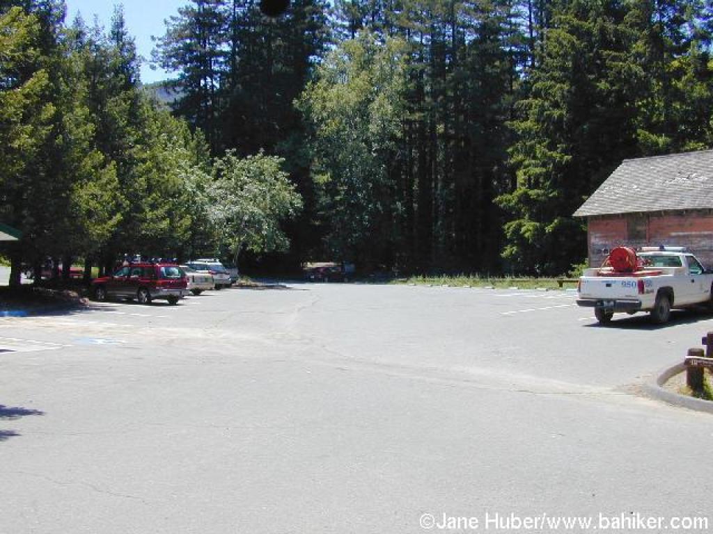 Trailhead |
 Start |
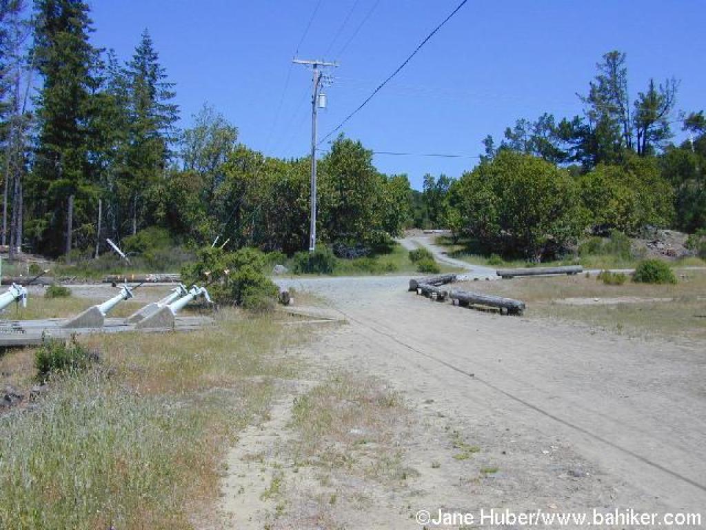
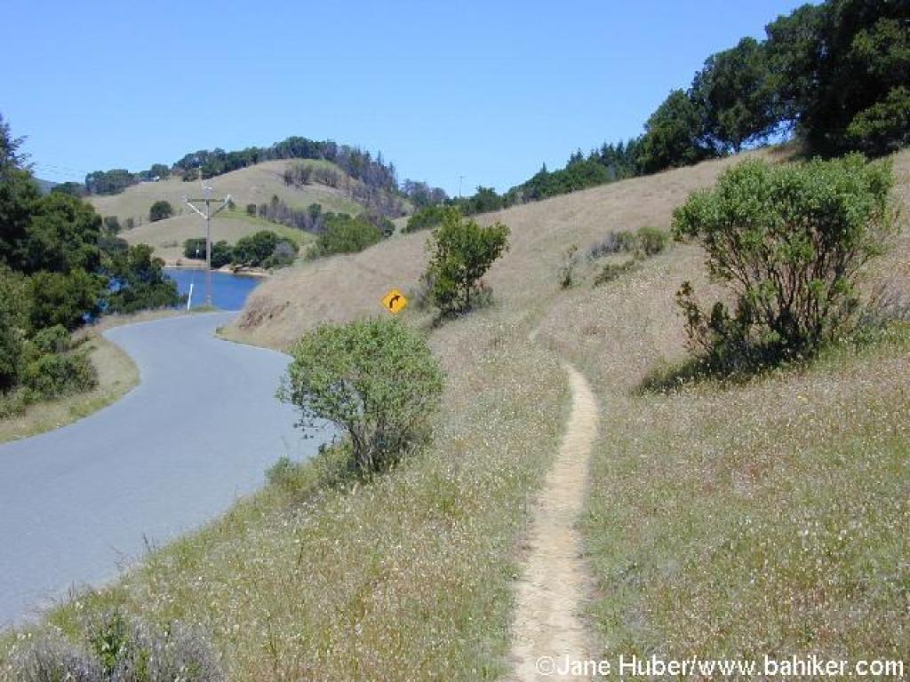
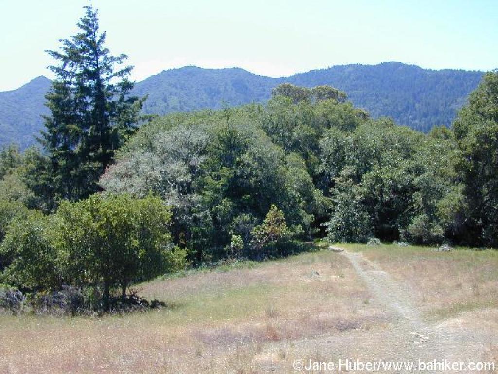
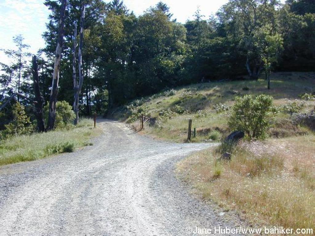 Junction with a private road |
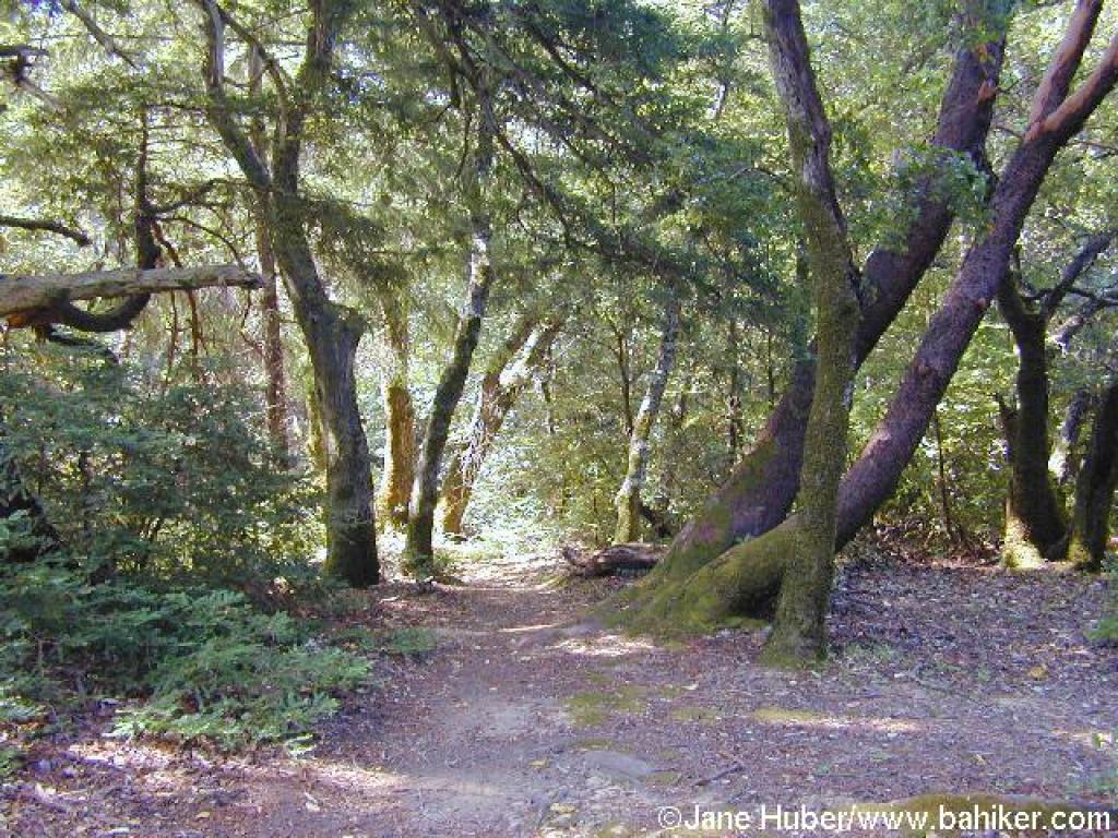
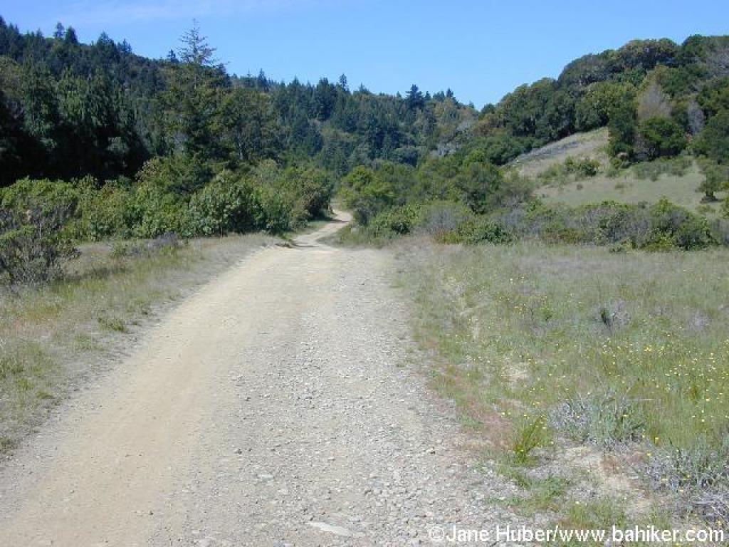
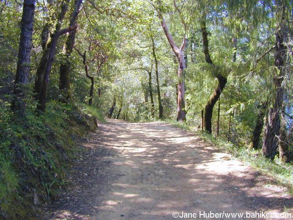
 Lakeview Fire Road |
||||
 A cedar |
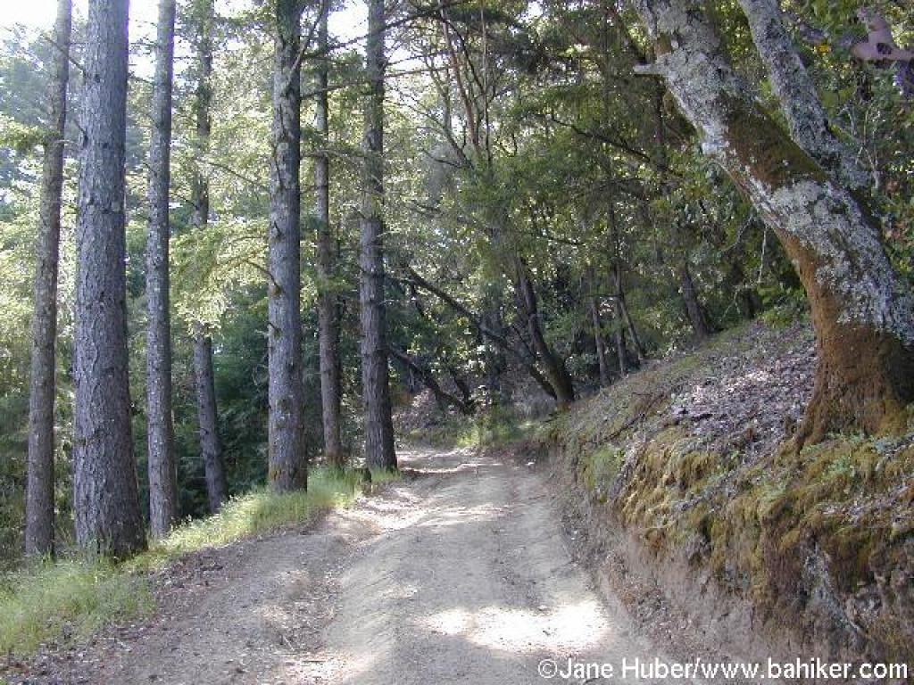
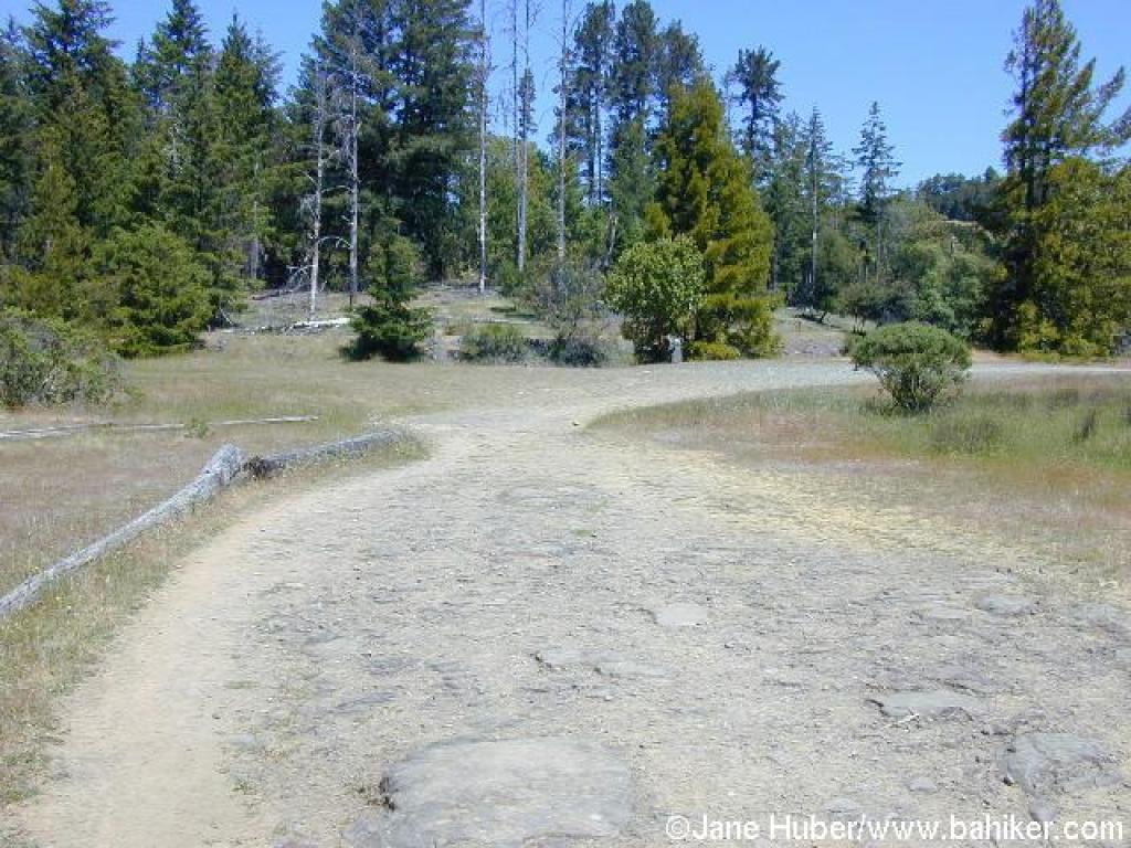
 Approaching junction |
 Start of Pilot Knob Trail |
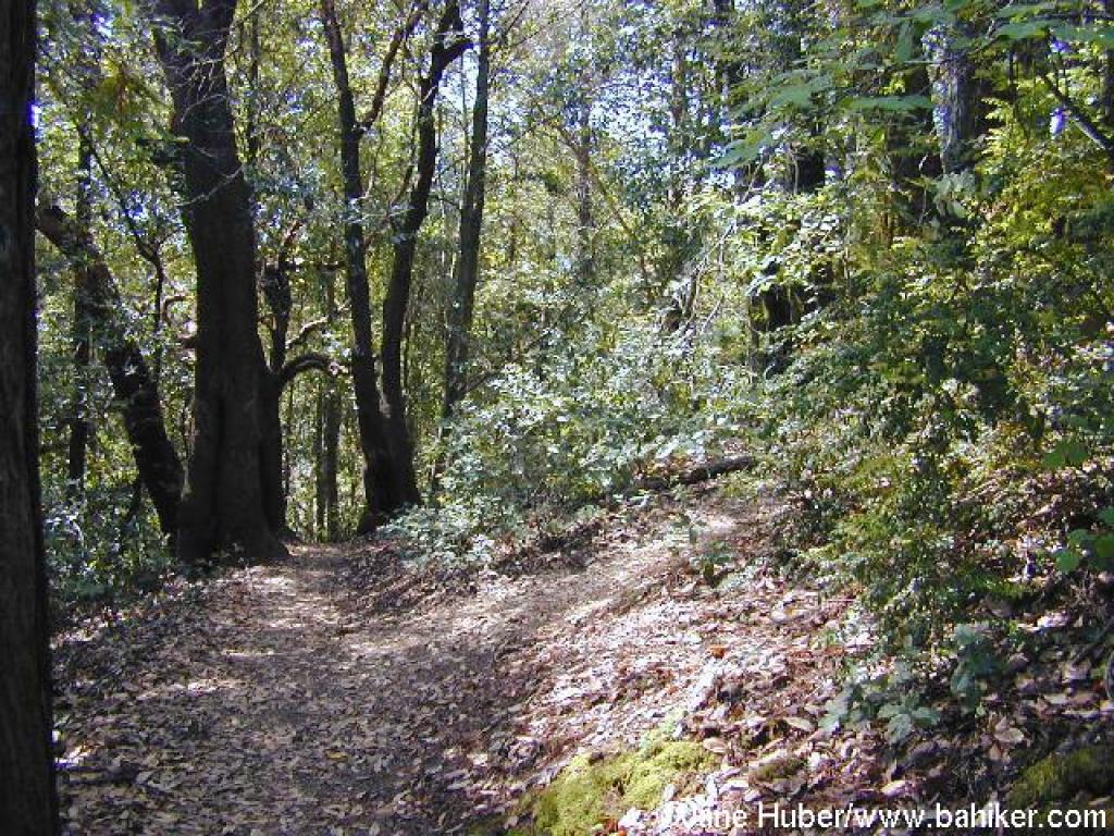
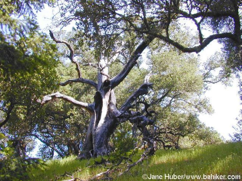 Spooky Tree |
||||
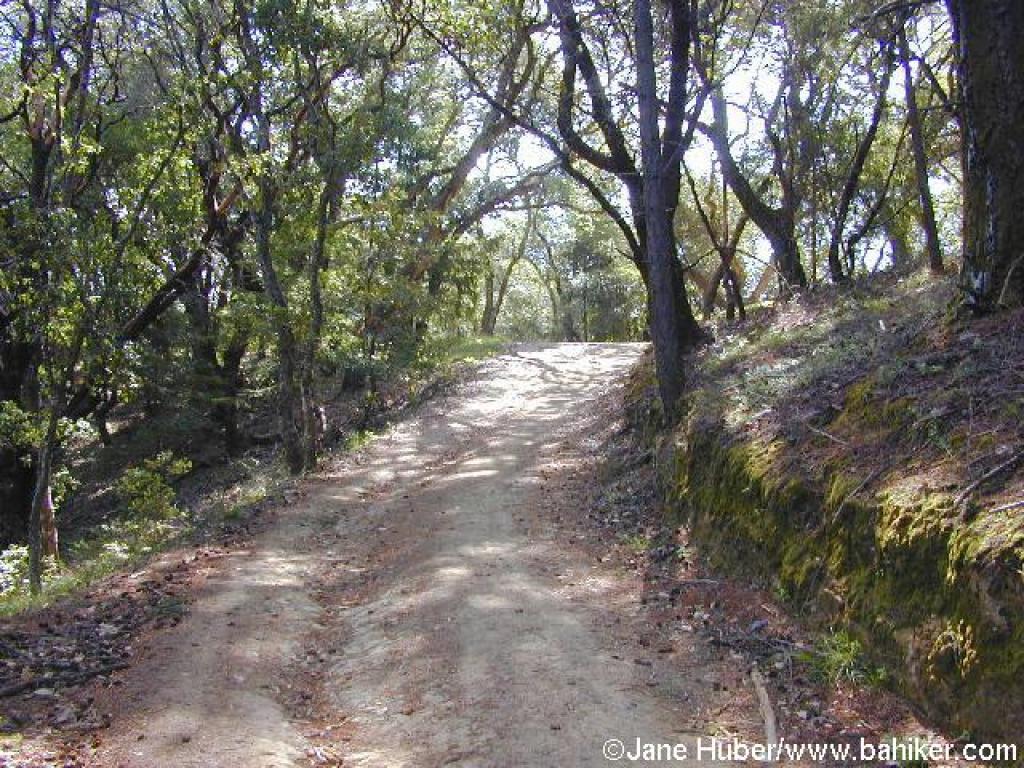
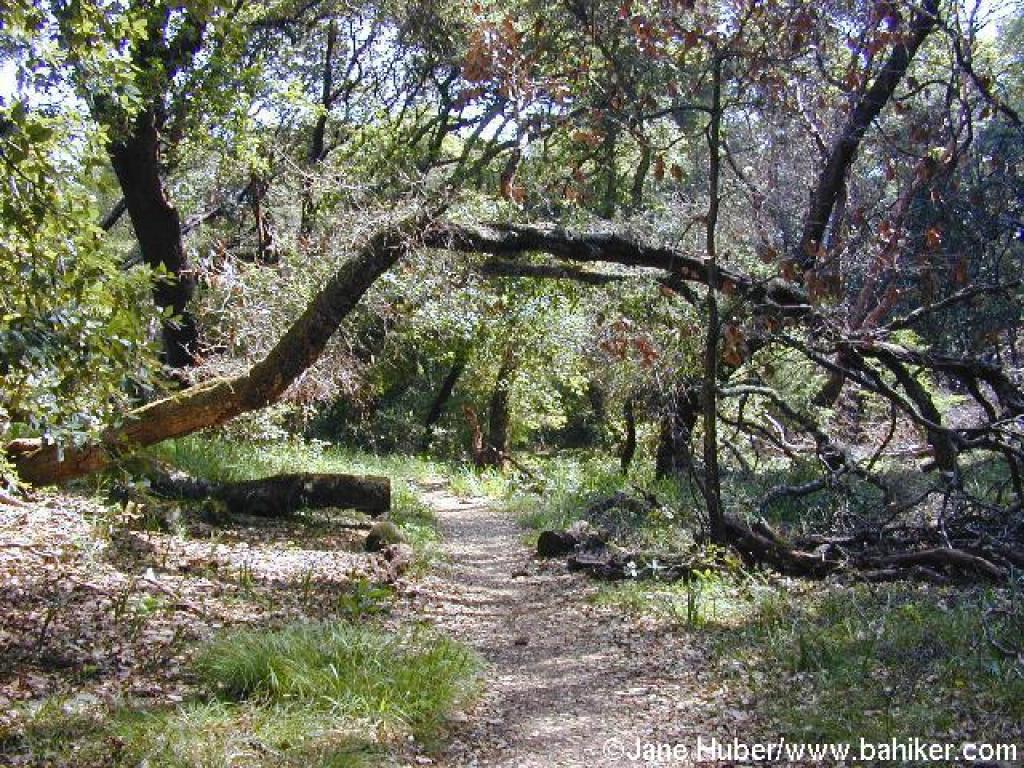
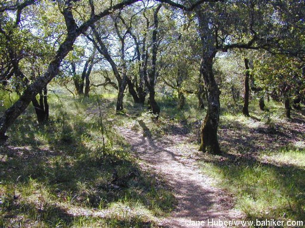
 Pilot Knob Trail |
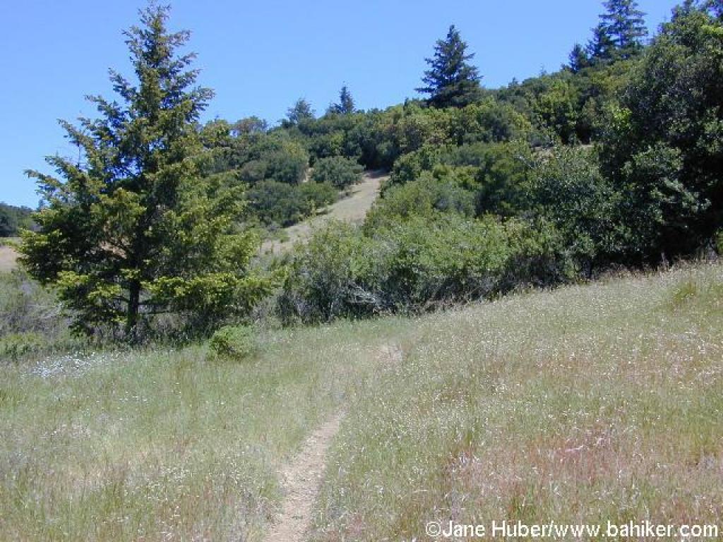
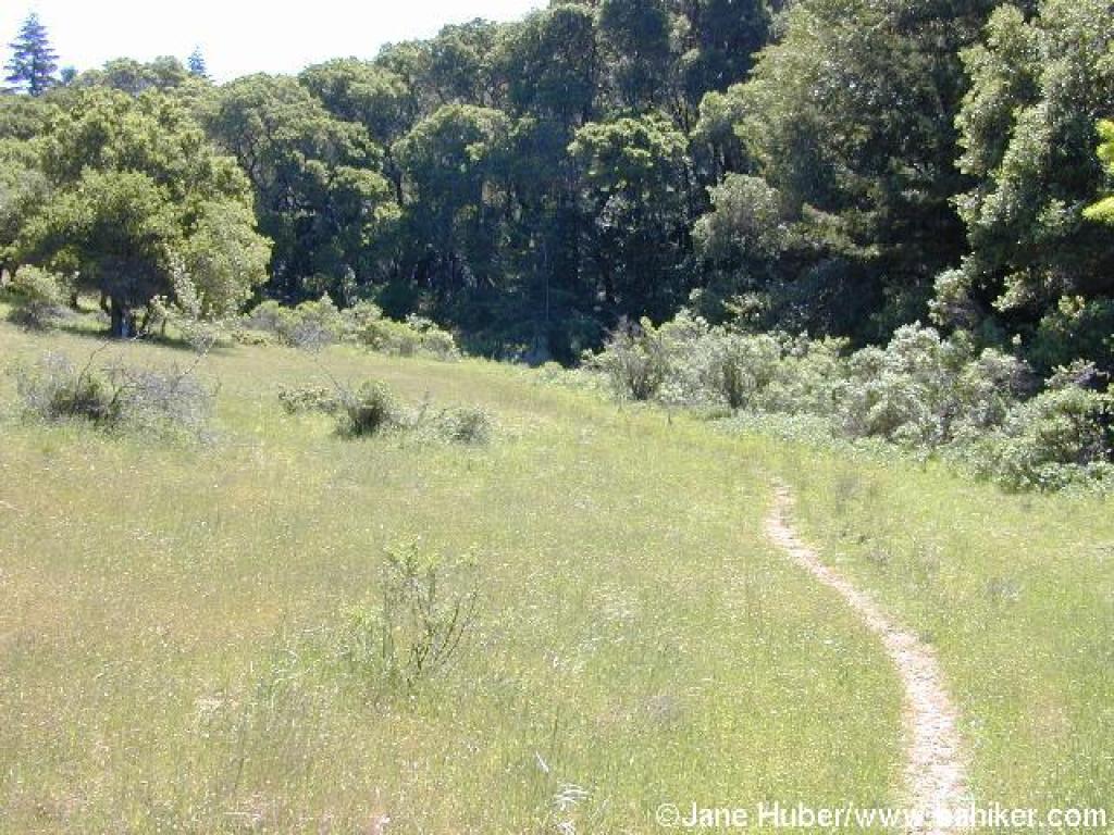
 Grassy stretch |
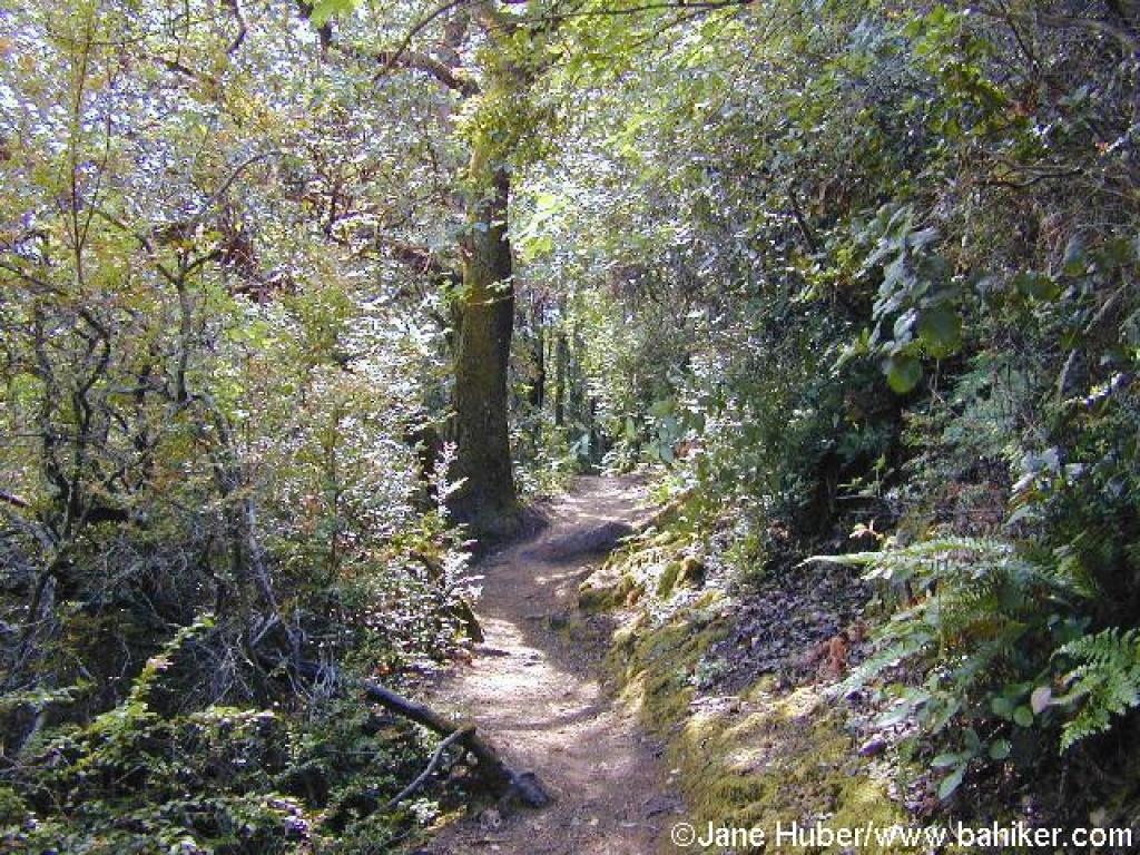
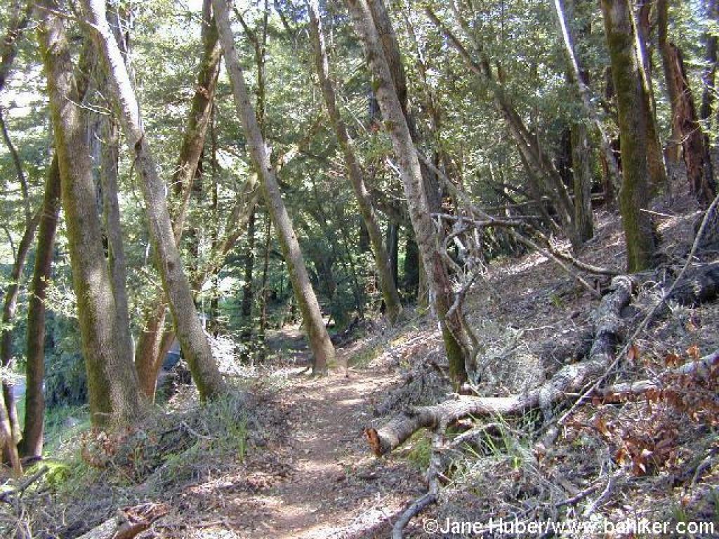
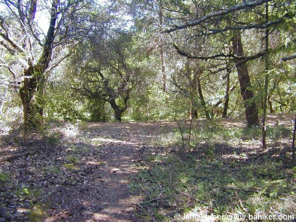
 Back in the woods |
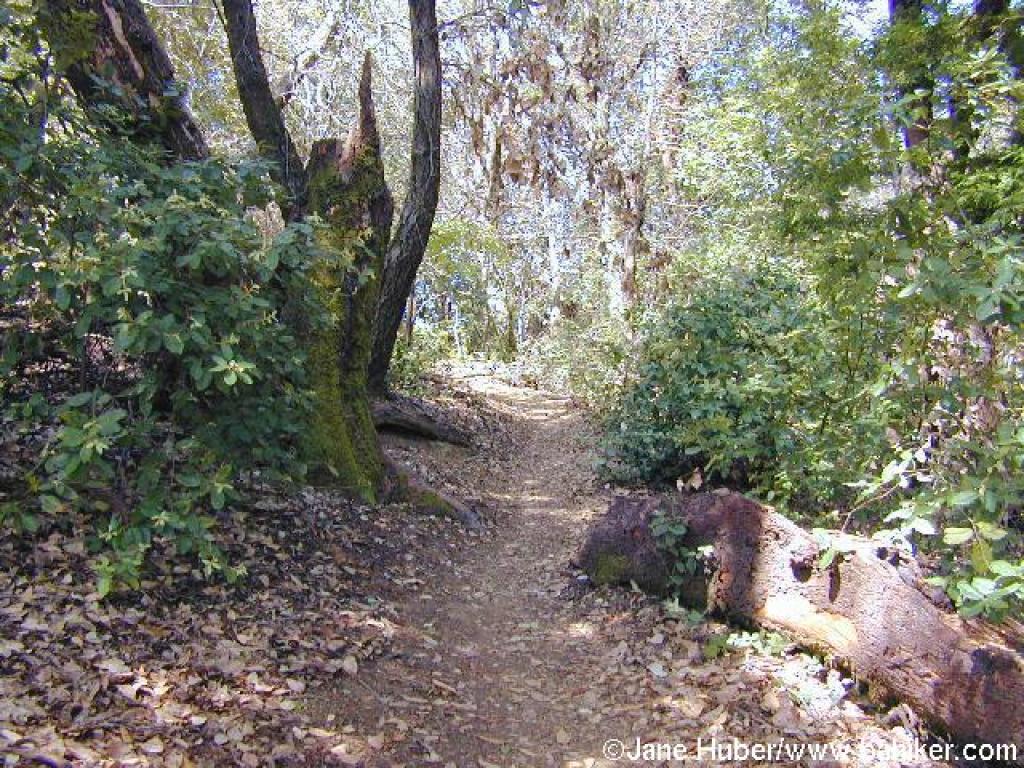
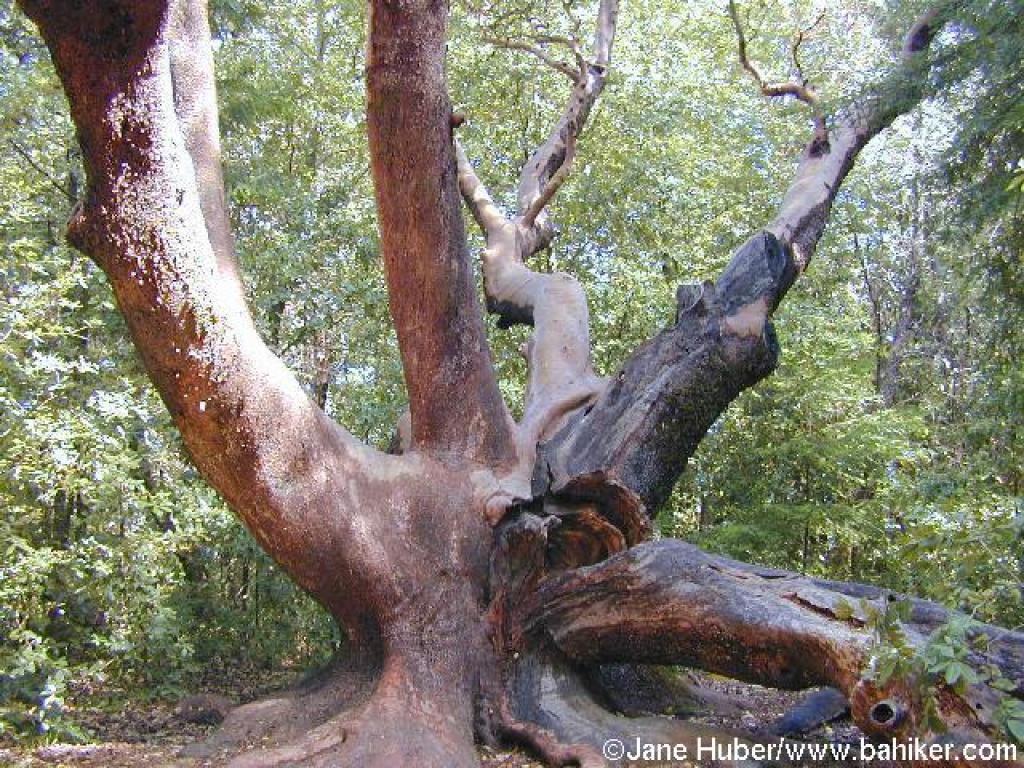 One huge madrone |
||||
 Climbing |
 Huckleberry lines the trail |
 Blink and you'll miss it: junction |
 Path to the top of Pilot Knob |
||||
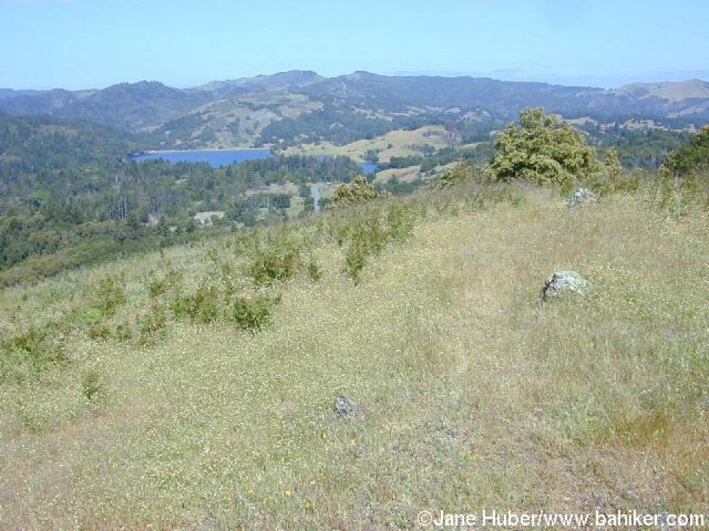
 View at the top |
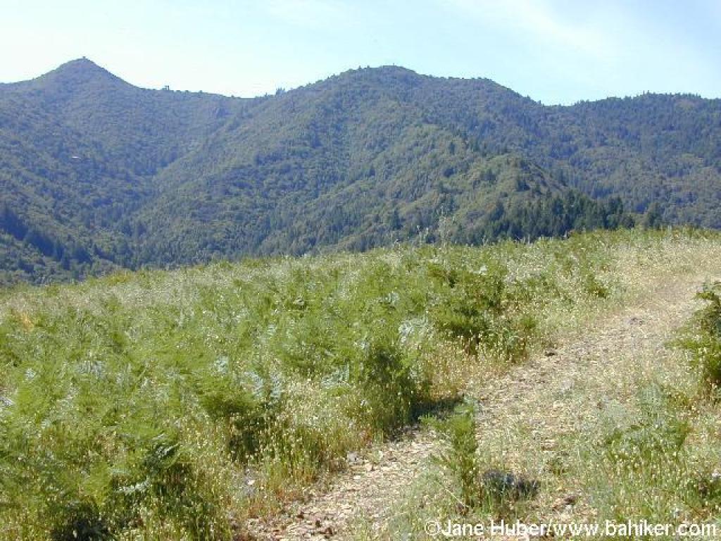
 View north |
 Back on Pilot Knob Trail |
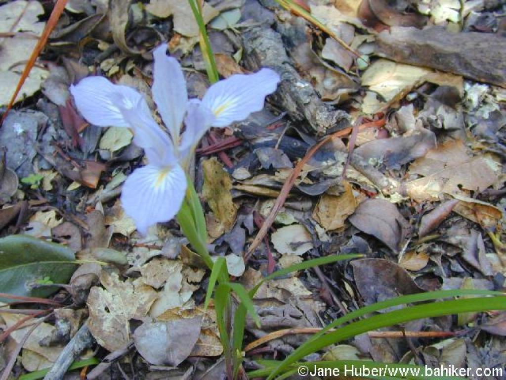 Iris |
||||
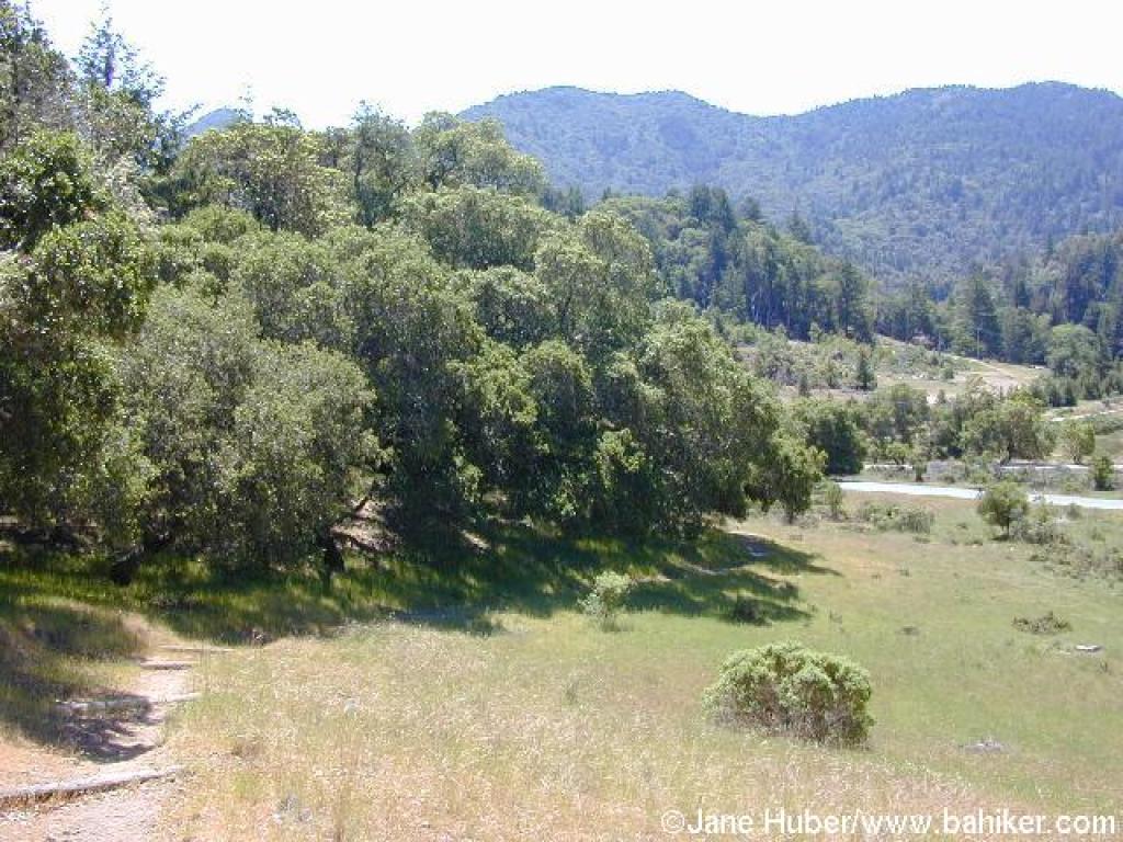
 Coast live oaks along the trail |
 Descending to a junction |
 Clarkia |
 Lakeview Fire Road |
||||
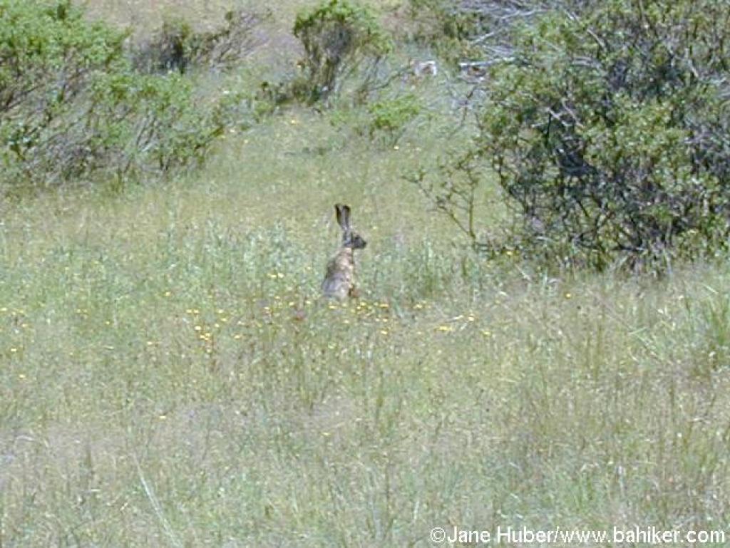 Jackrabbit |
 Junction |
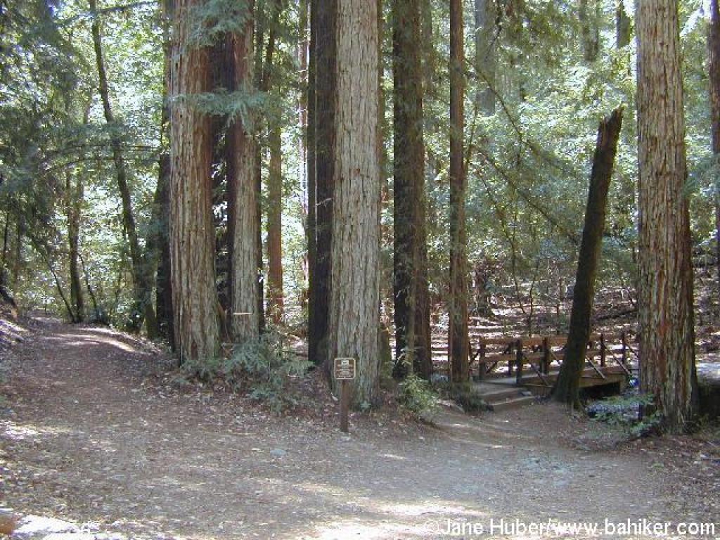
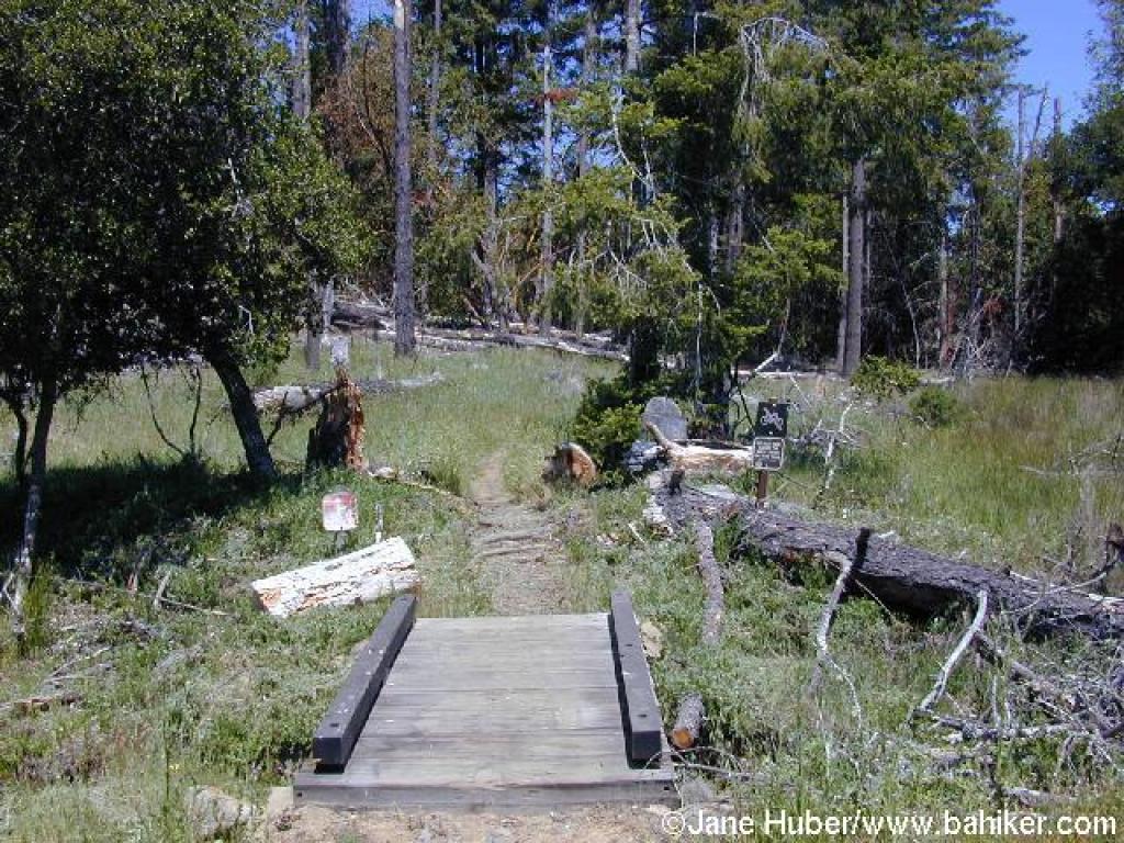
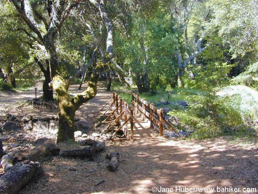 Bridge |
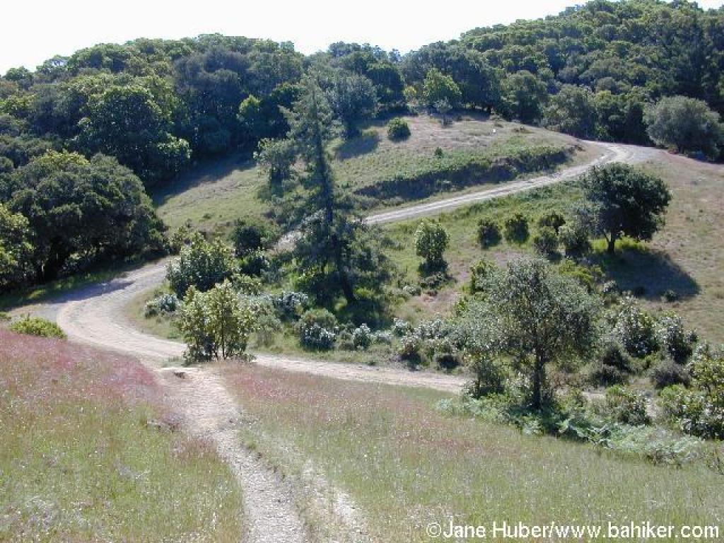
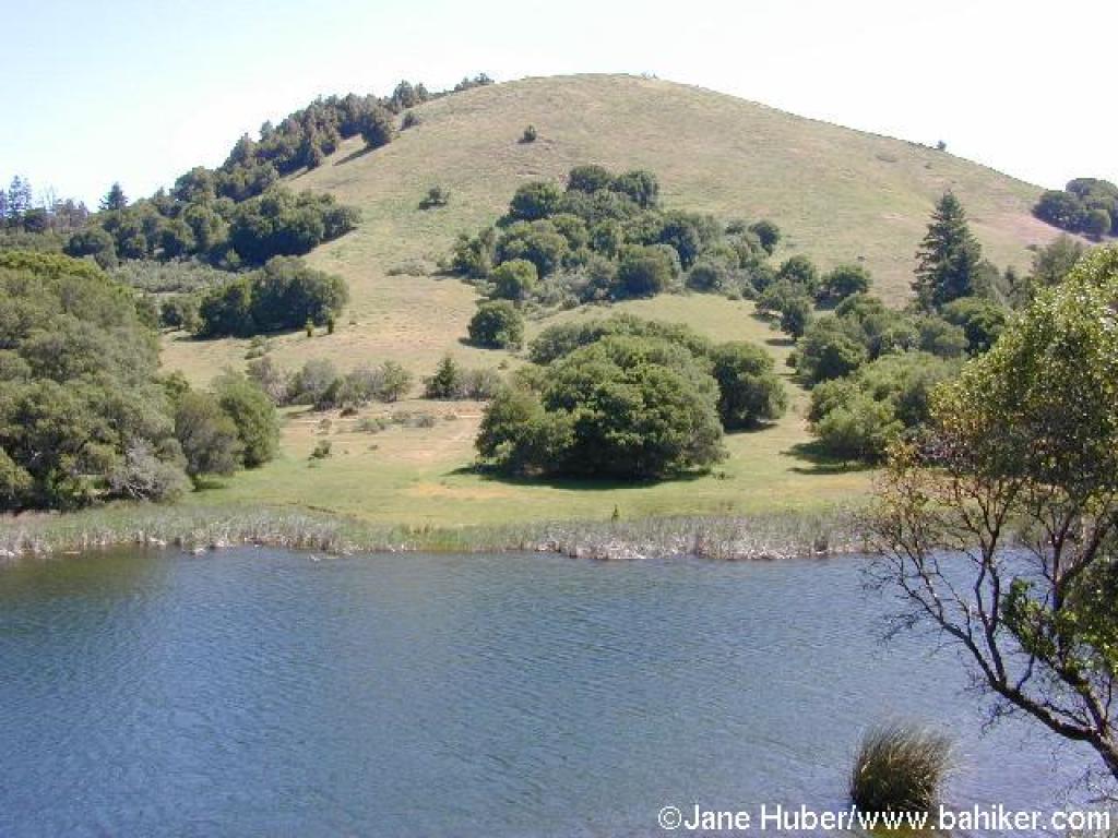 View to Pilot Knob |
||||
 Lagunitas Fire Road |
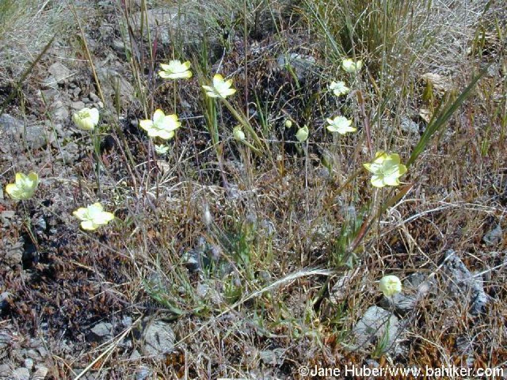 Creamcups |
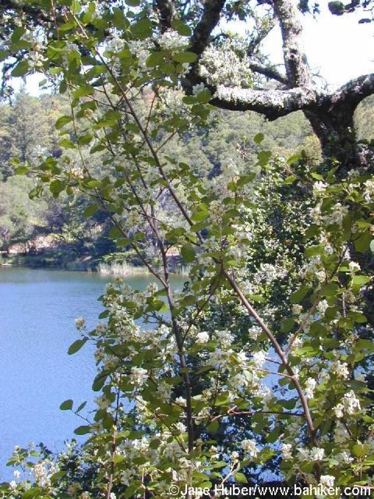 Serviceberry? |
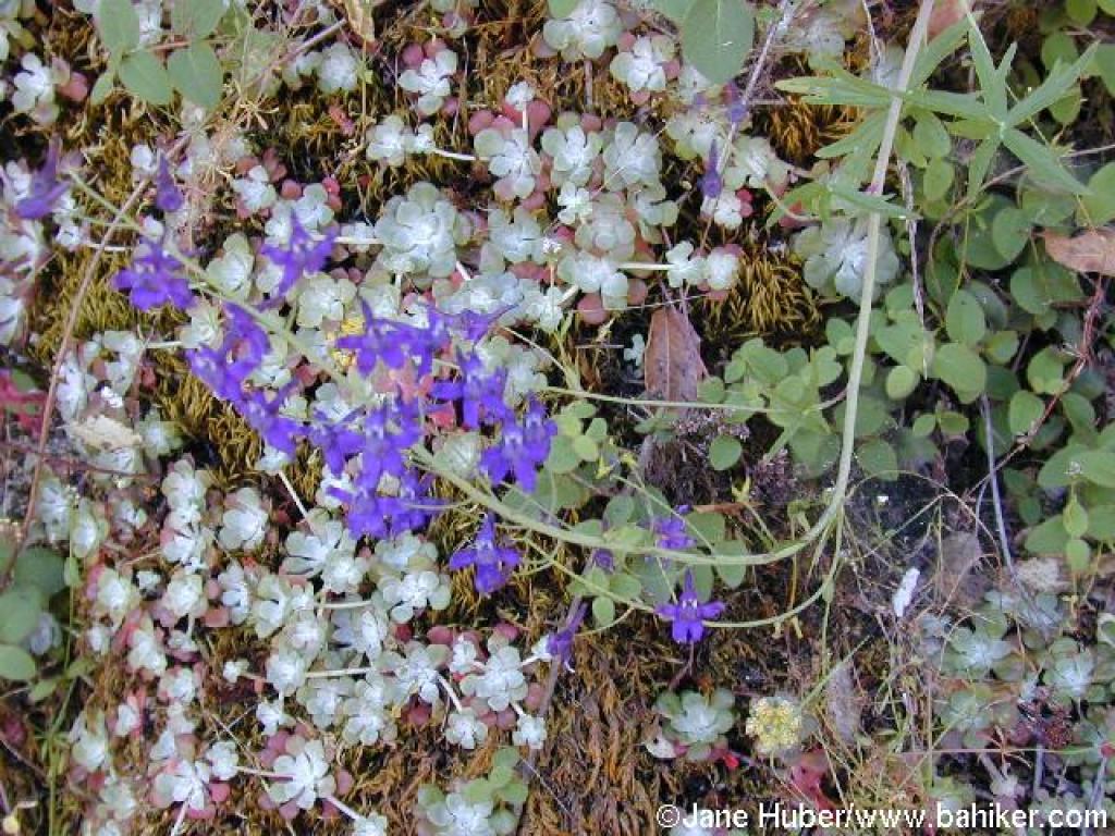 Larkspur |
||||
 Lagunitas Fire Trail departs to the left here |
 Junction with Colier Trail |
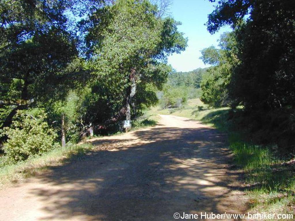
 Lagunitas Fire Road |
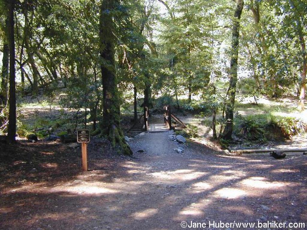 Bridge |
||||
 Turtles |
 Junction |
 Path along spillway |
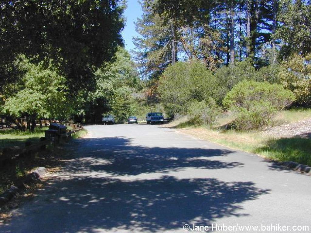 Along the road at the trailhead |
||||
 Sky Oaks-Lagunitas Trail |
 Junction |
 Junction |
 Sky Oaks-Lagunitas Trail |
||||
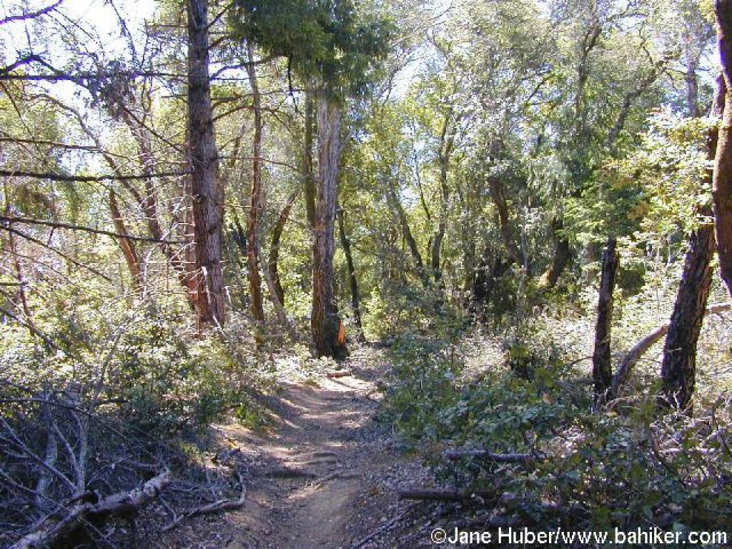
 Tall trees on the trail |
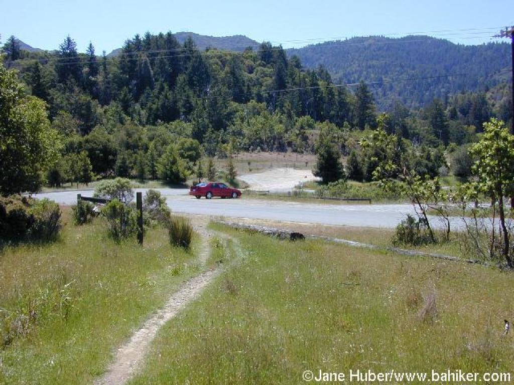
 Approaching road |
 Along the road |
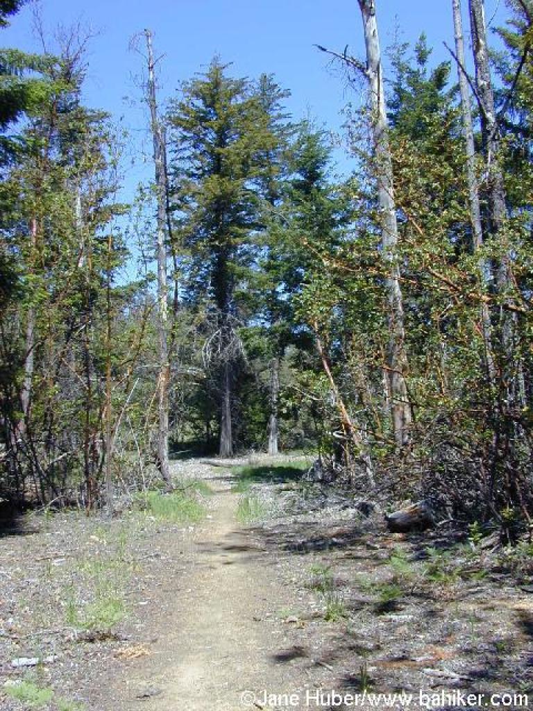
 Brief wooded stretch |
||||
 Back in grassland |
 Easy to miss junction |
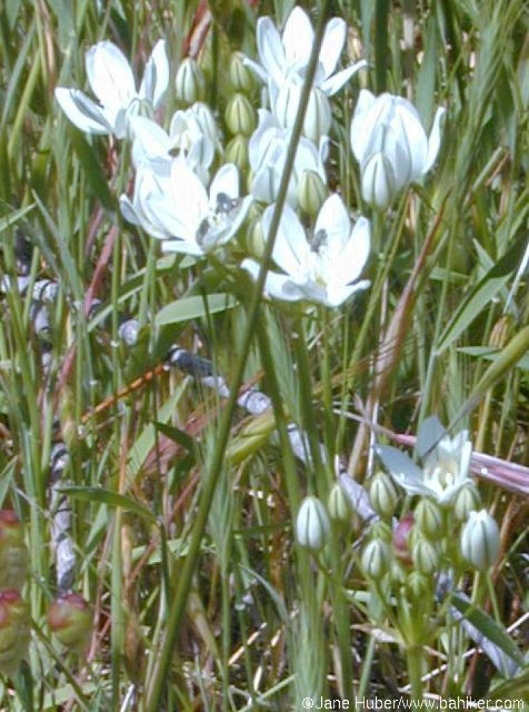 White brodiaea |
 Madrone Trail |
||||
 Trench-like section |
 Junction |
 Pumpkin Ridge Trail |
 View to Tam's peaks, from an open stretch along the trail |
||||
 Descending toward the road |
 End of the trail |
 Crossing the road to an unnamed fire road |
 Junction |
||||
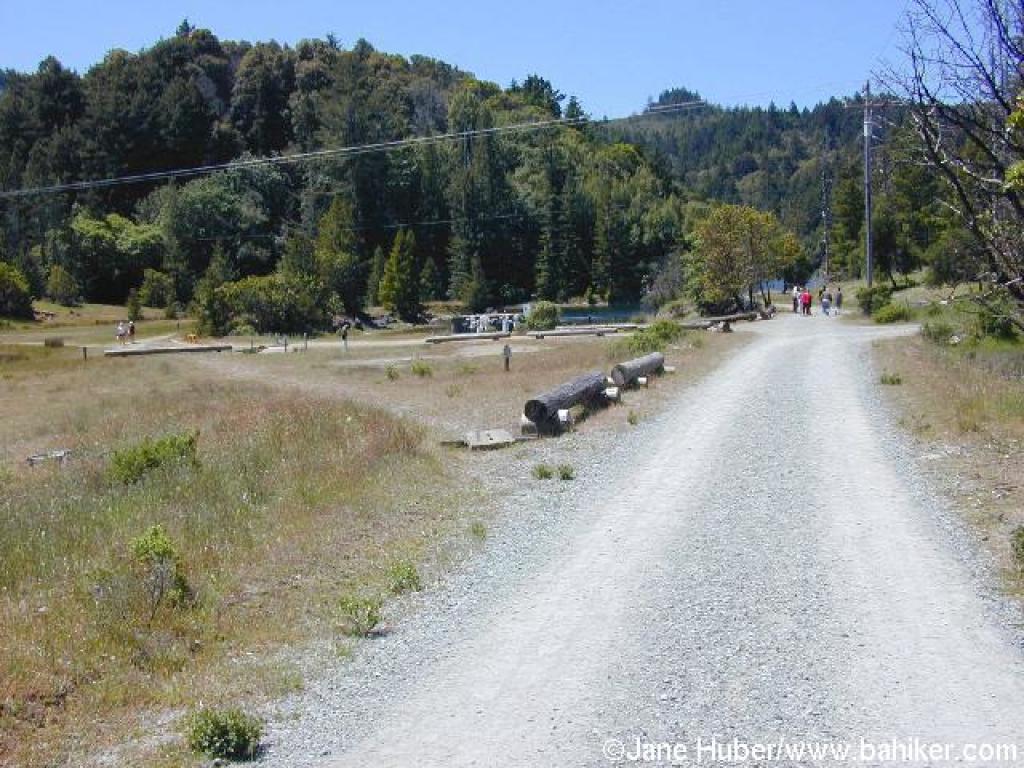
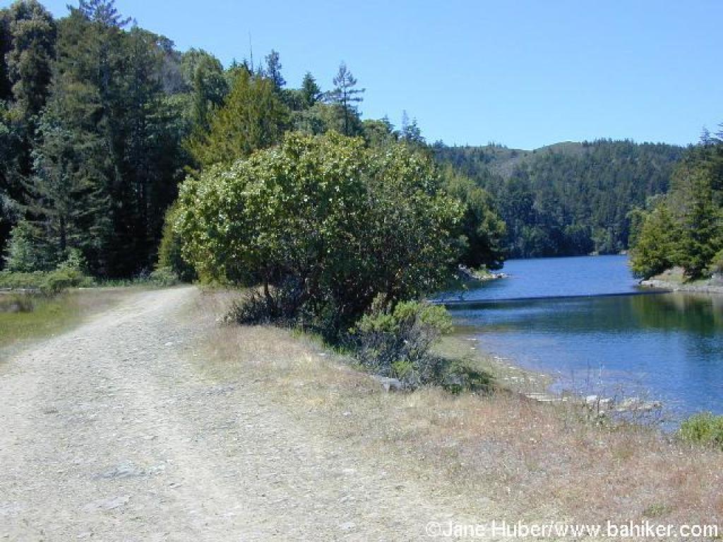 Returning, along the shores of Bon Tempe Lake |
Go to Bay Area Hiker Sky Oaks page Go to Bay Area Hiker Home page |
||||||