| Photos
from a July 2002 hike at Stafford Lake County Park (click on any image for a larger view) |
|||||||
 Trailhead |
 Starting out |
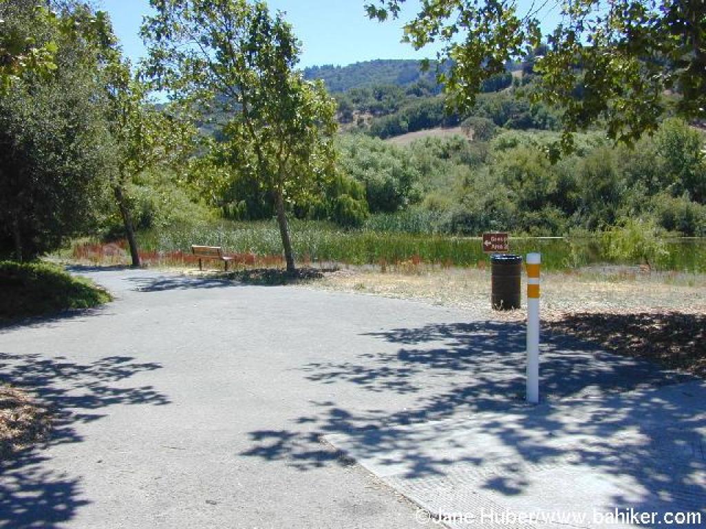
 Paved park path |
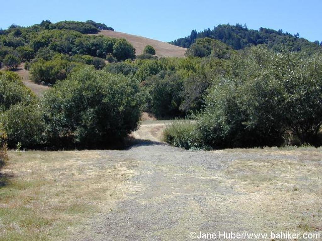
 Trail turns to dirt |
||||
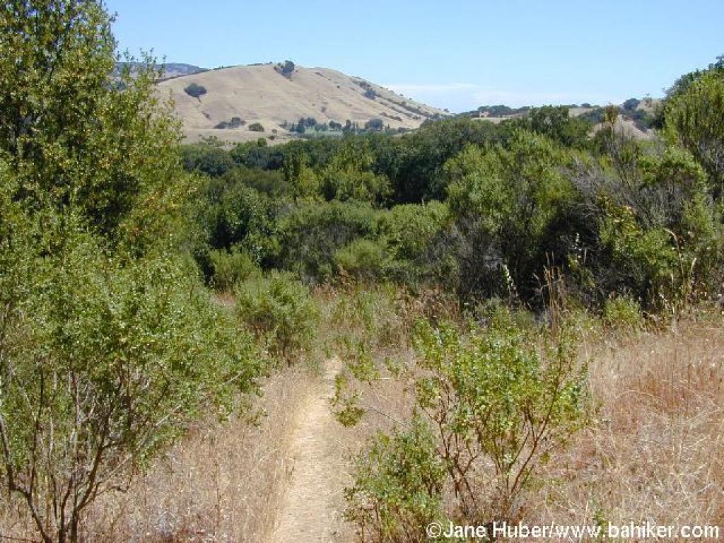
 Through grassland |
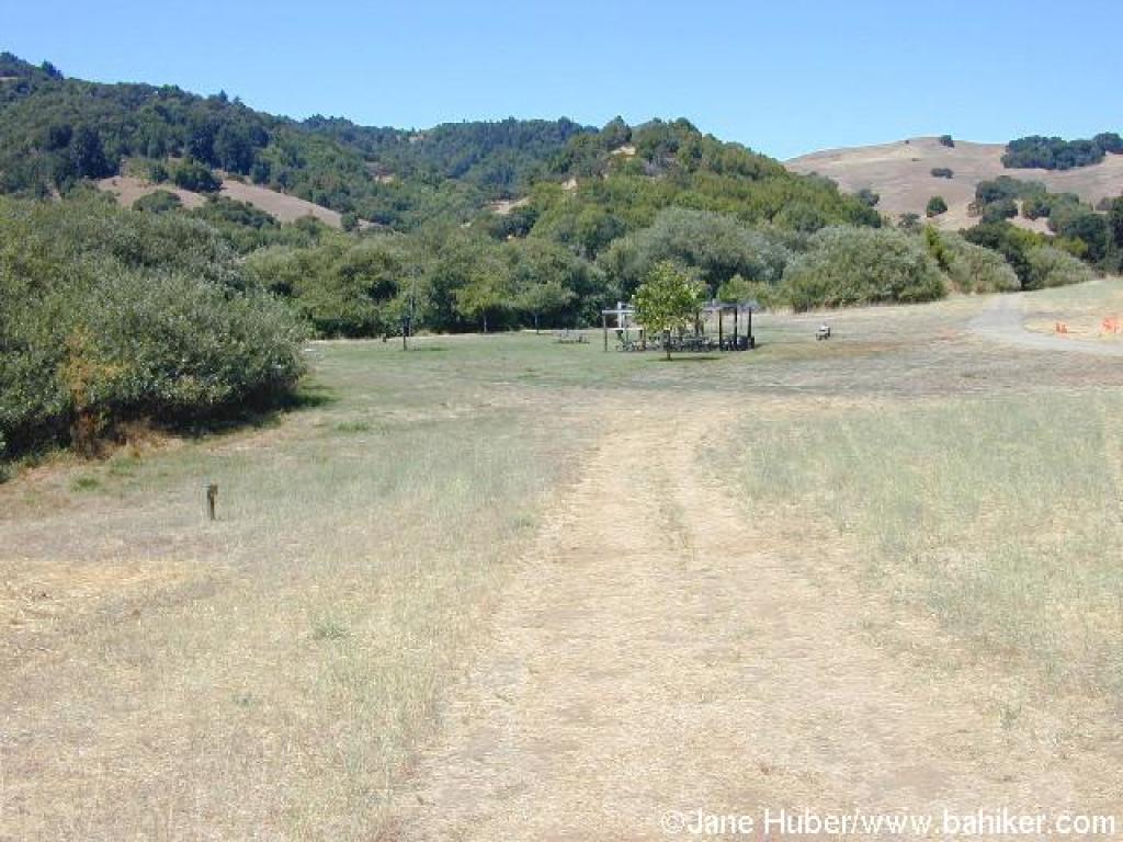 Near a picnic area |
 Creek crossing |
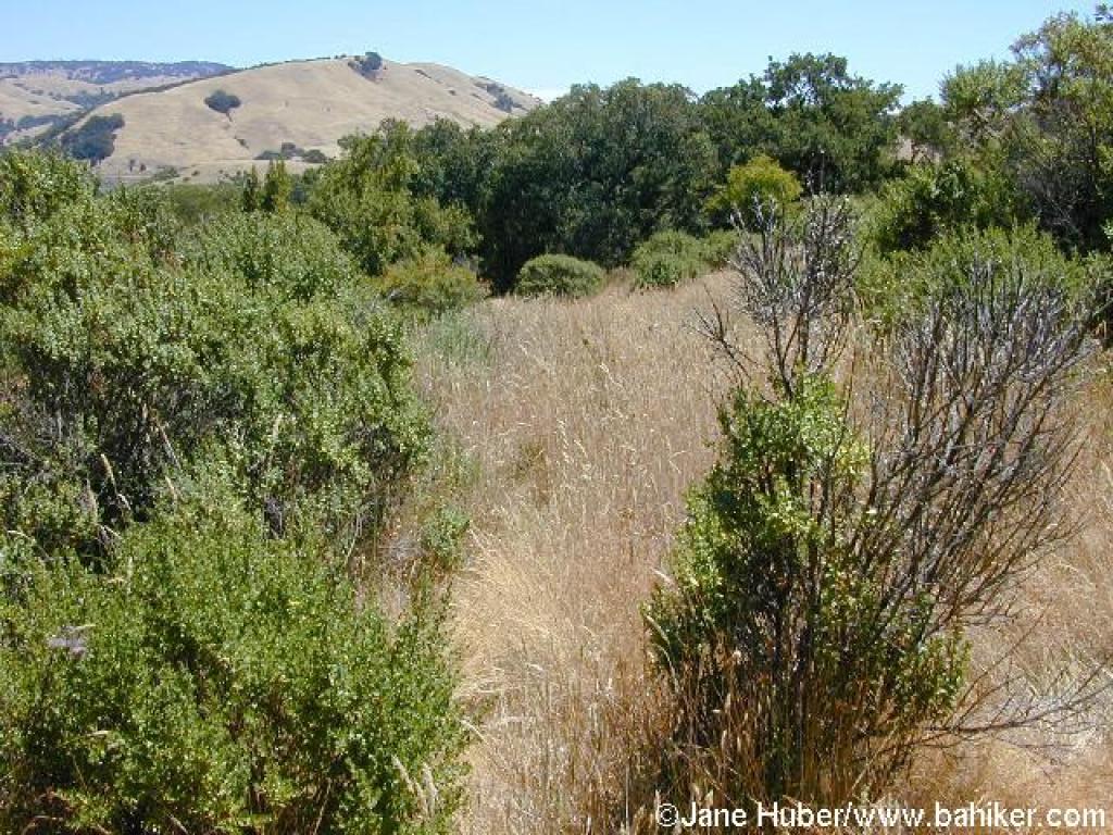
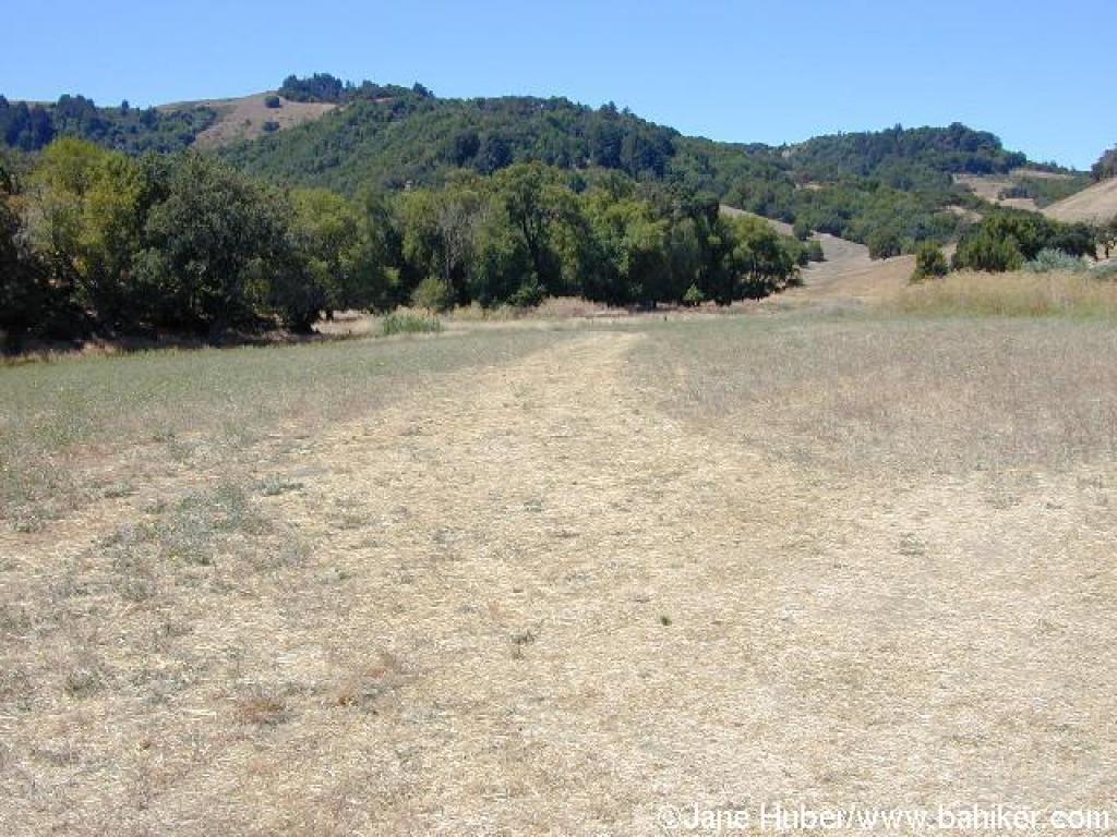 Through a meadow |
||||
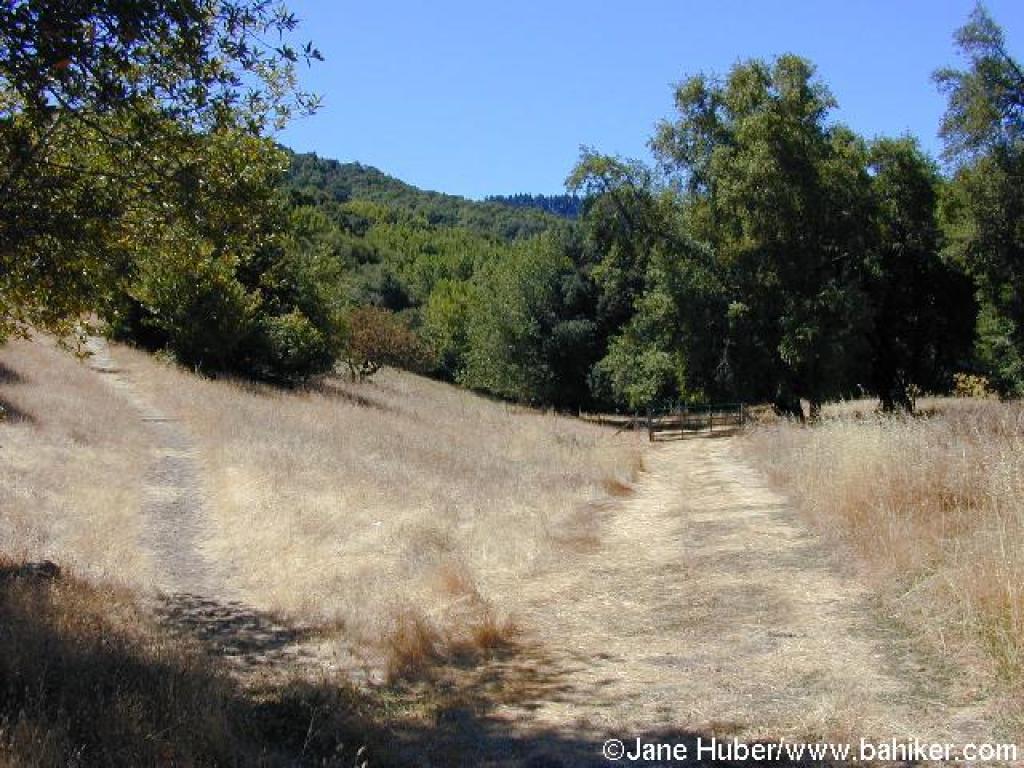 Junction; bear left |
 Ascending |
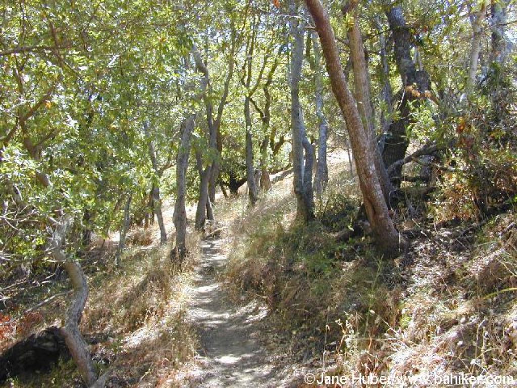
Short wooded stretch |
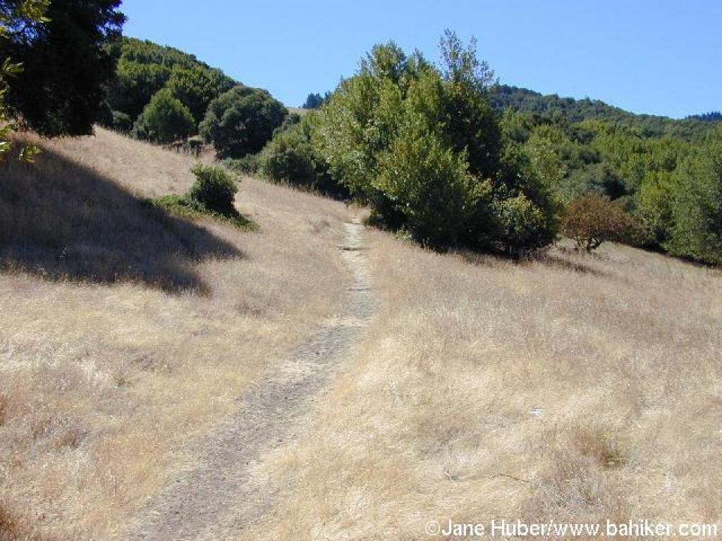
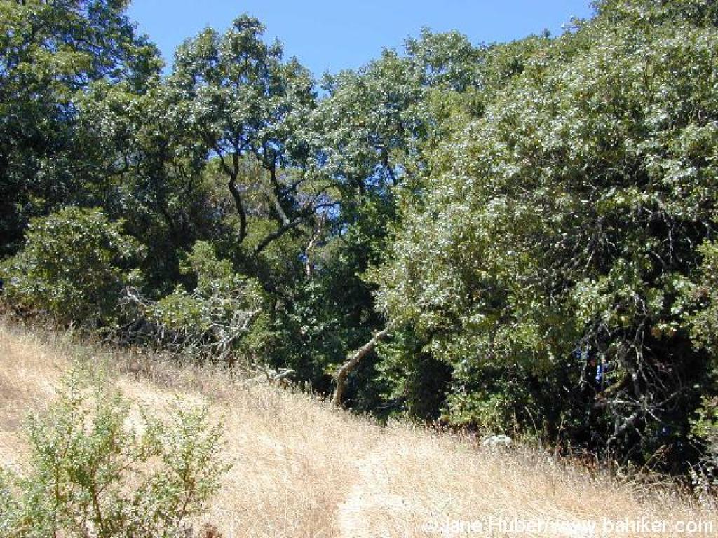
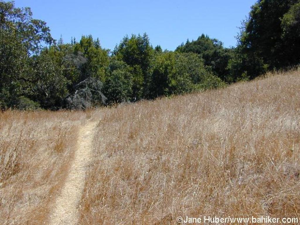
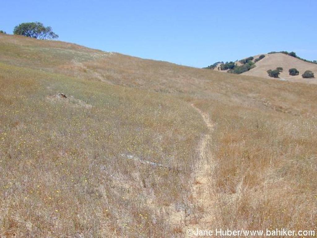
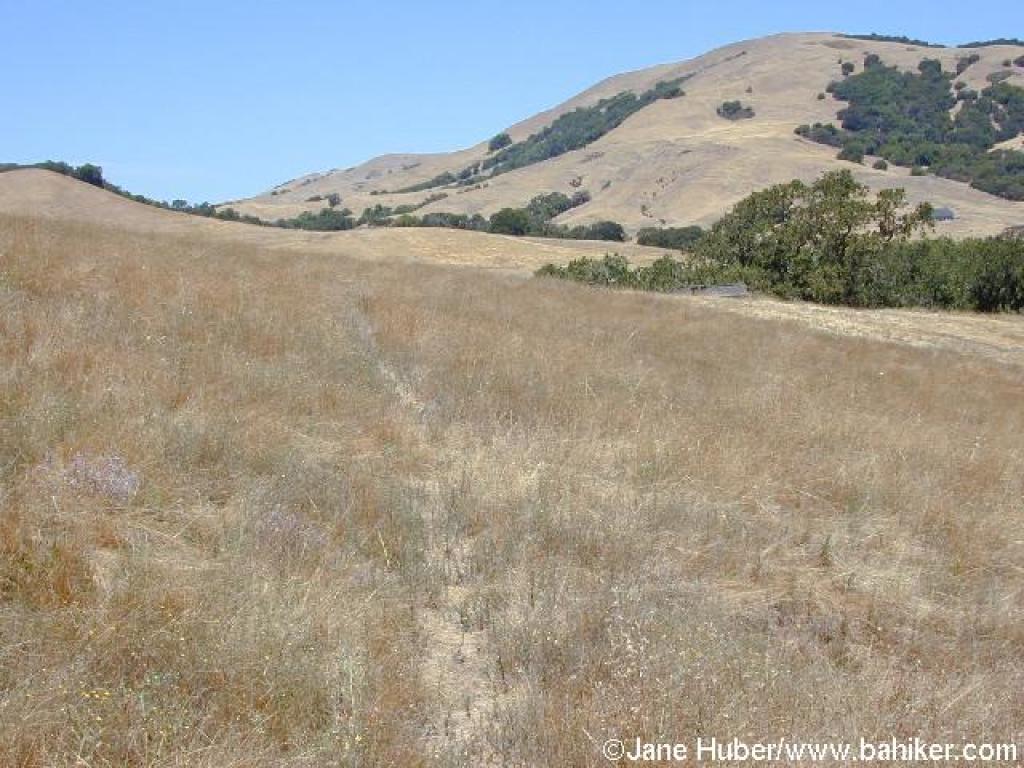
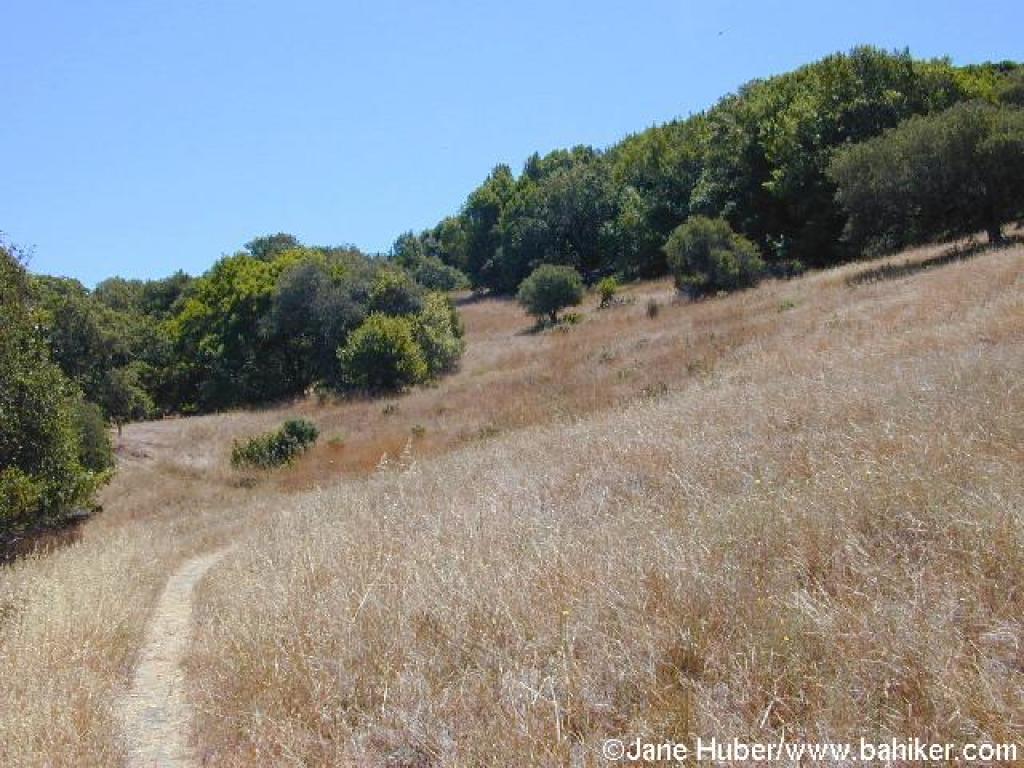 Grassland |
||||
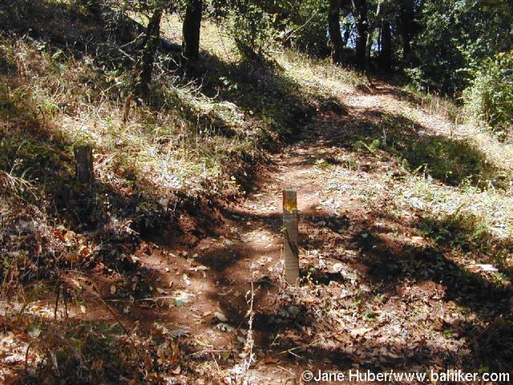
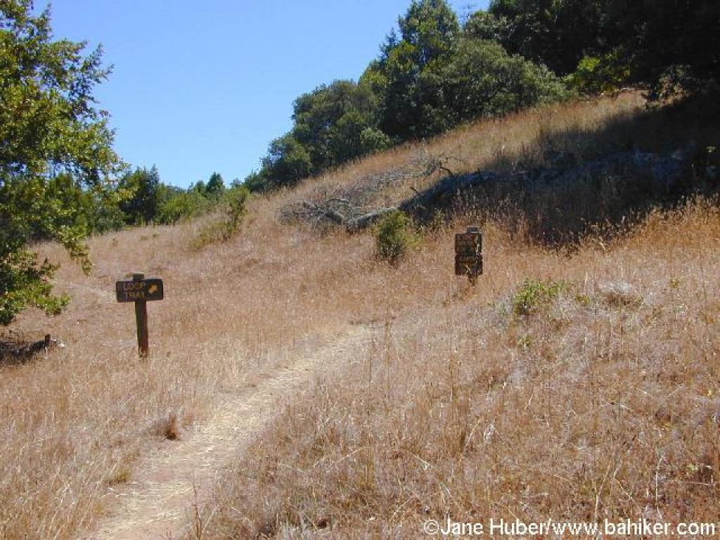 Junction |
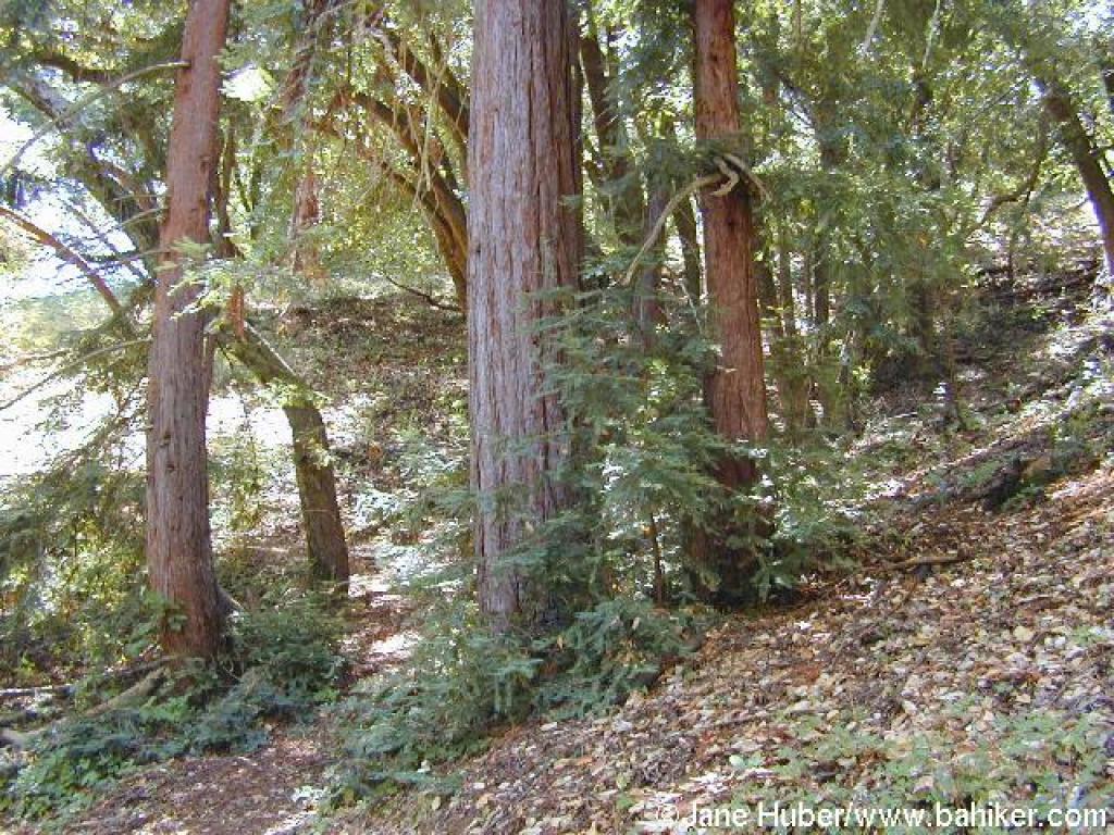 Pocket of redwoods |
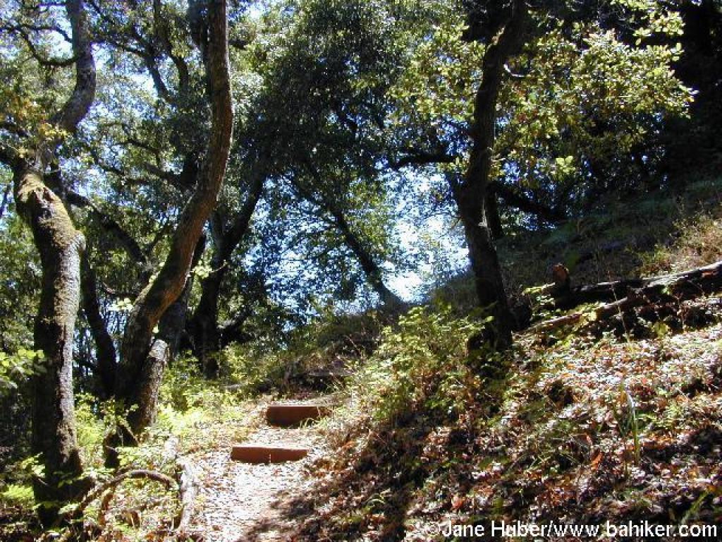 Steps |
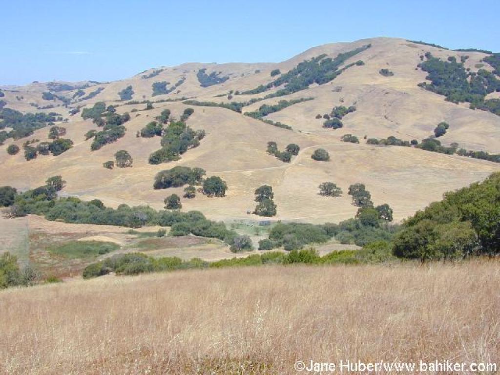
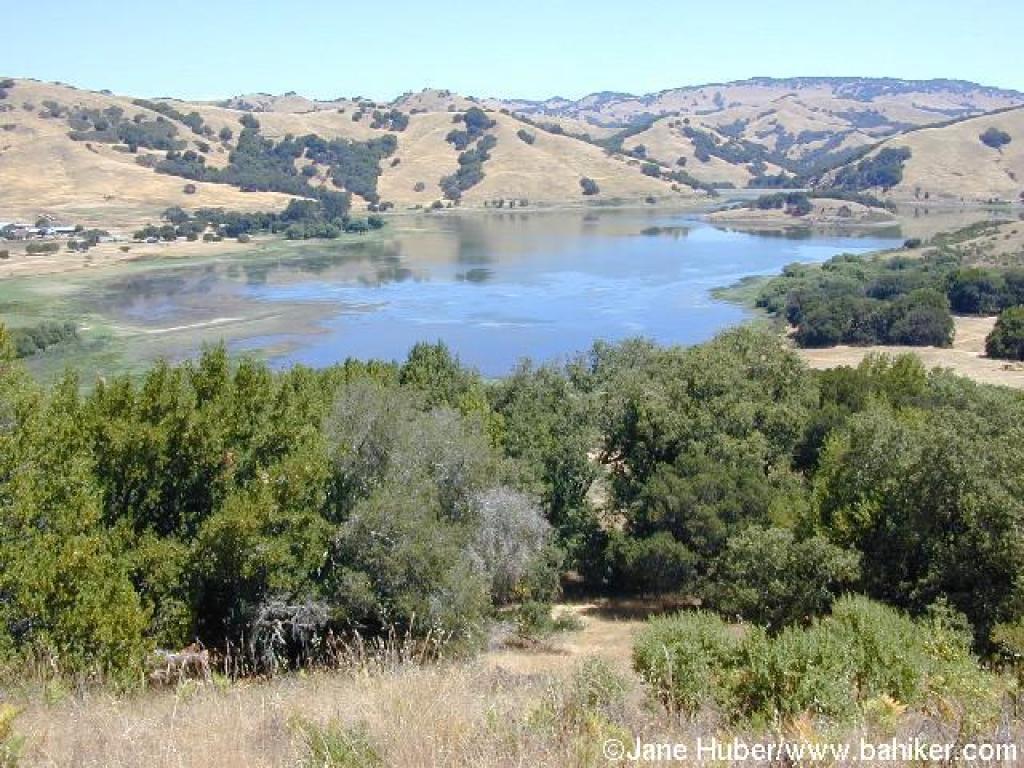 View to Stafford Lake |
||||
 Heading back into the woods |
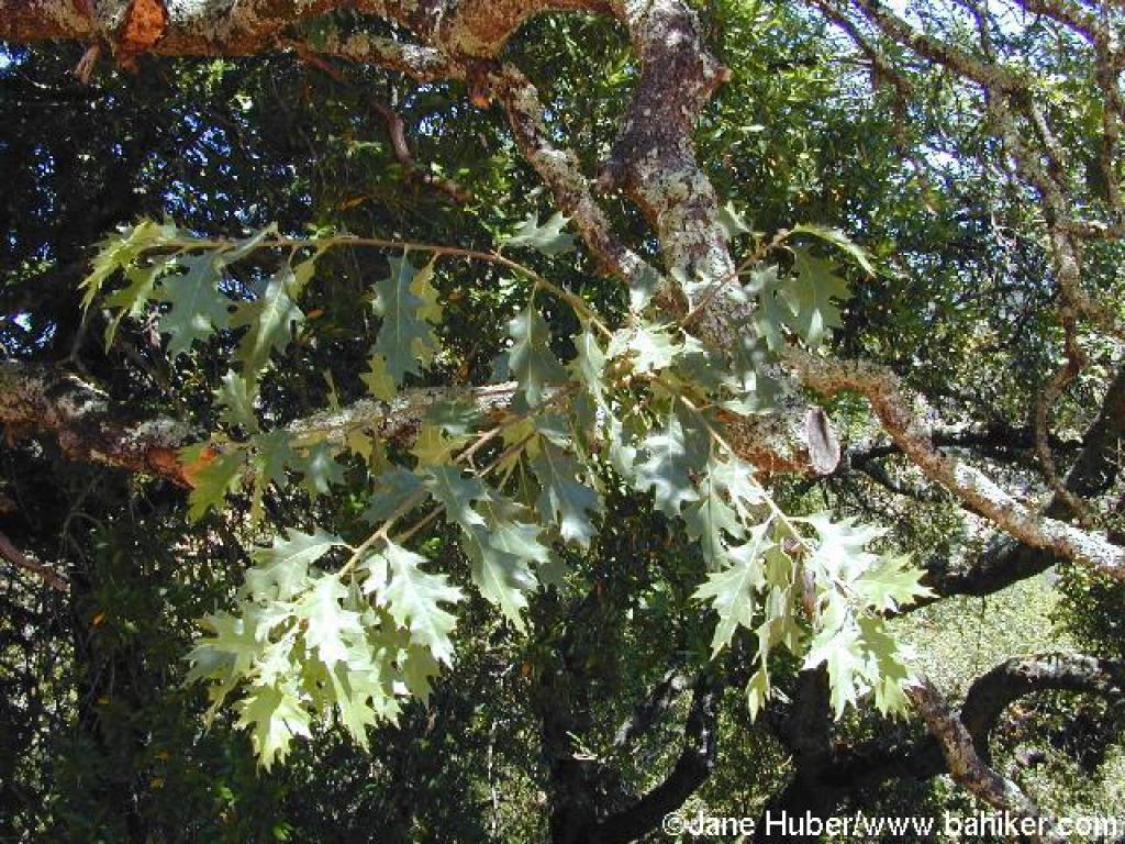 Black oak |
 New trail segment |
 More redwoods |
||||
 Grassland, again |
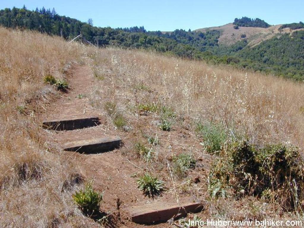 Steps |
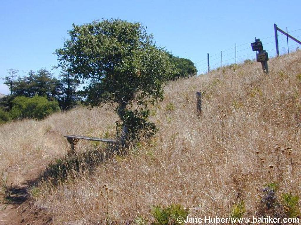 Bench at the end of the trail, and near the park boundary |
 View north |
||||
 After returning to the previous junction, this is the continuation of the loop |
 The trail was easy enough to follow until about here... |
 ...when it simply disappeared |
 After a short overgrown section, two paths appear; the one to the right is part of the Disc Golf course |
||||
 The other path got more faint, then again, disappeared |
 After a brief cross-county trek, I spotted a trail arrow |
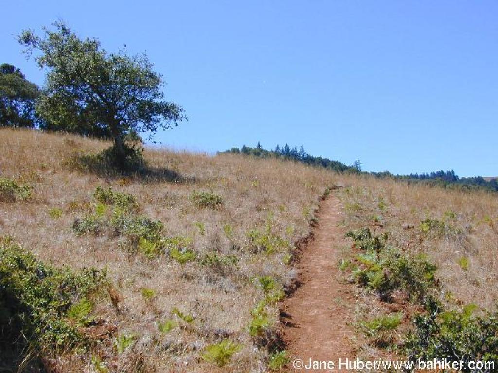
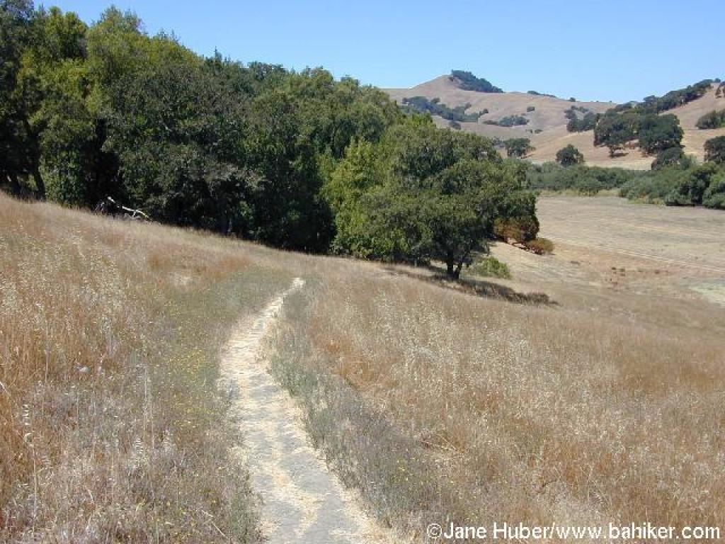
 Through grassland |
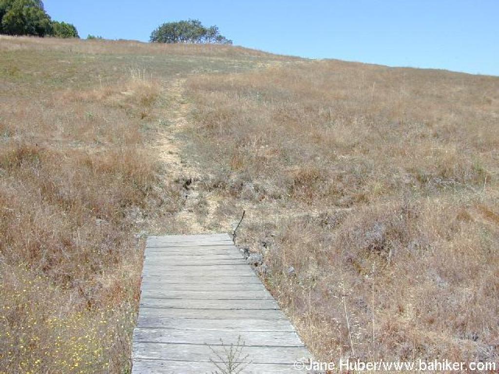 Bridge |
||||
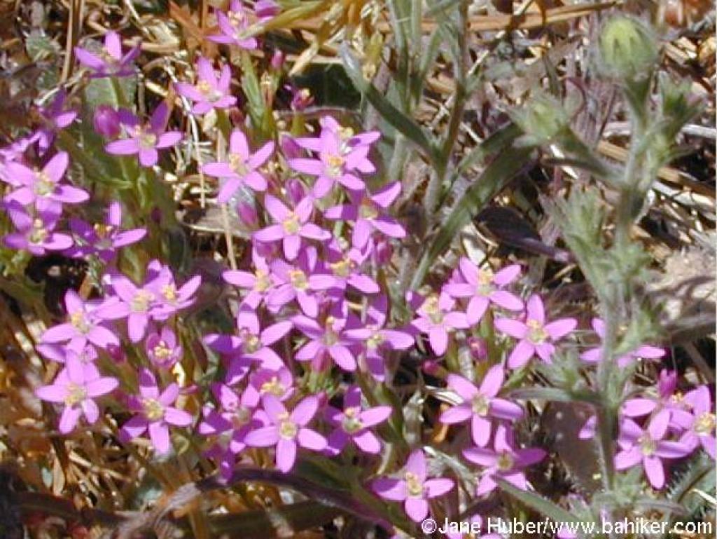 Late blooming wildflowers |
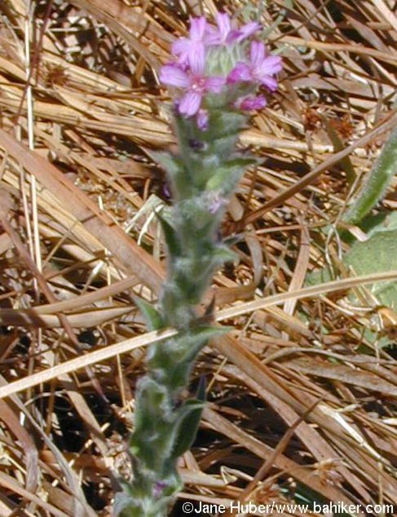 Boisduvalia |
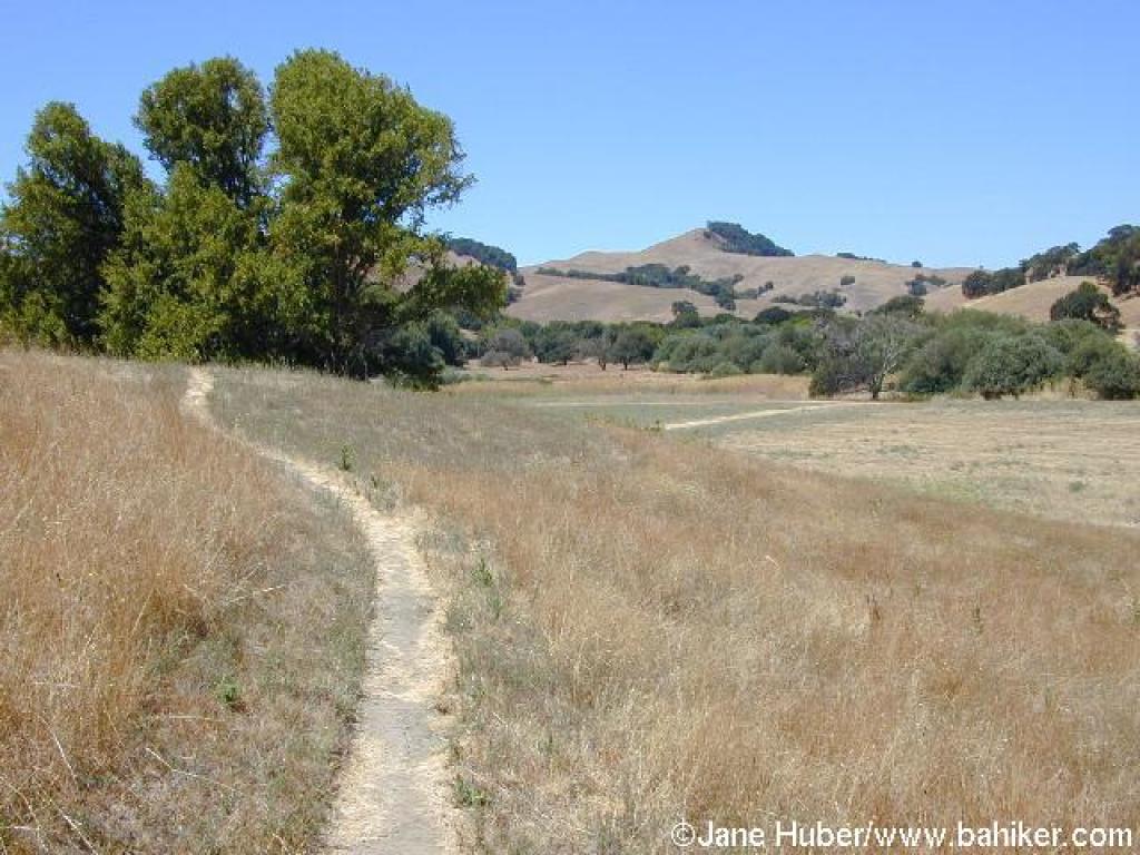
 Here the path is as well-defined as a common deer trail |
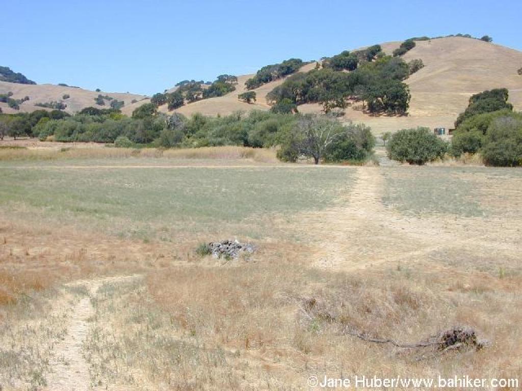
 Maybe it was inevitable -- on the disc golf trail |
||||
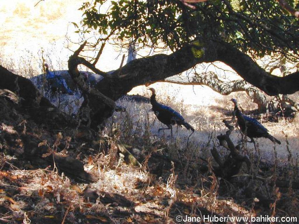 Turkeys under a buckeye tree |
 Nicely worn path |
 Returning |
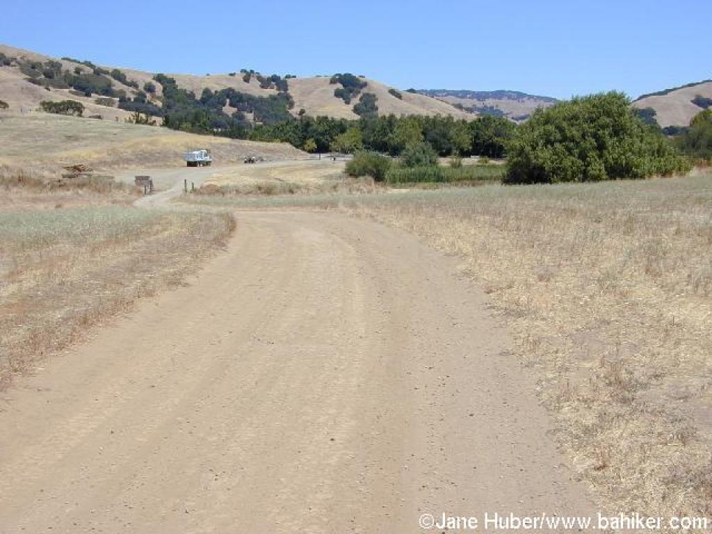 Walking back on the dirt road |
||||
Go to Bay Area Hiker Stafford Lake page Go to Bay Area Hiker Home page |
|||||||