| Photos
from a December 2002 hike at Terra Linda/Sleepy Hollow Divide Open Space
Preserve (north section) (click on any image for a larger view) |
|||||||
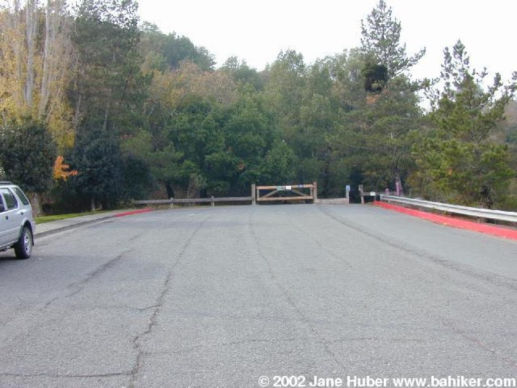 Trailhead |
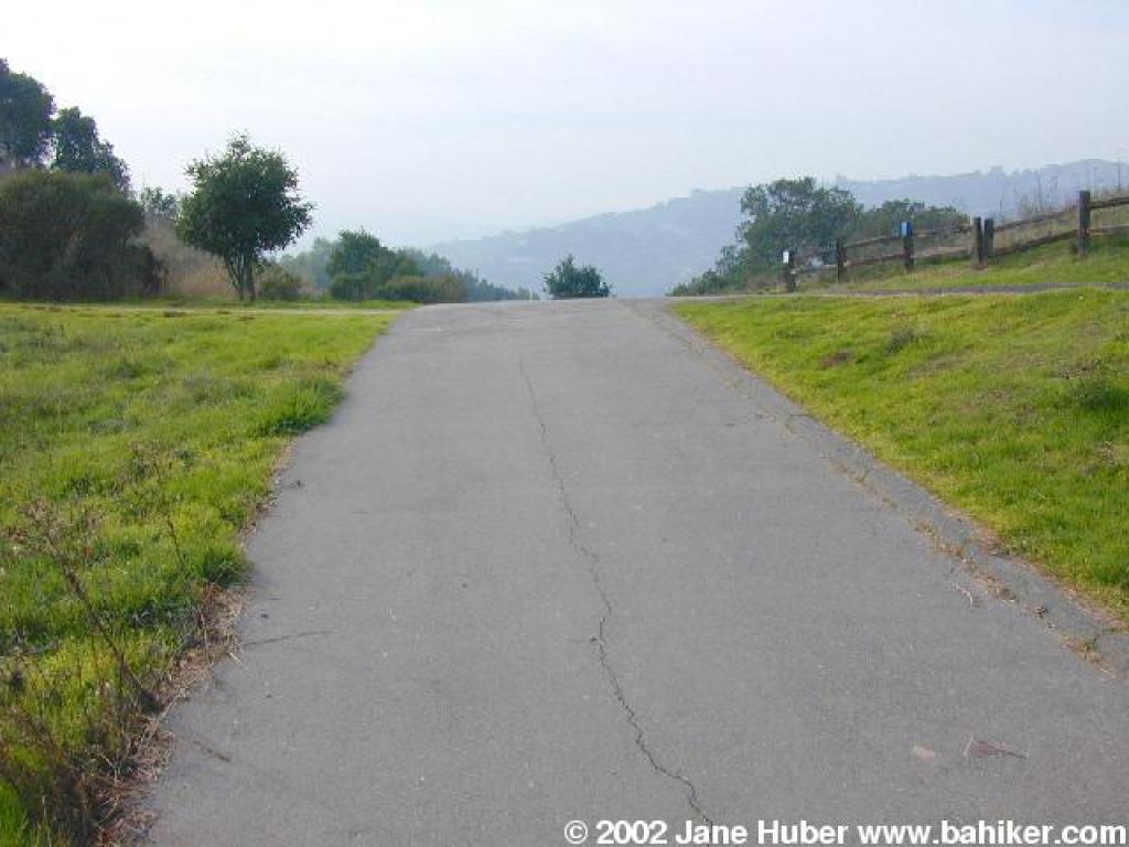
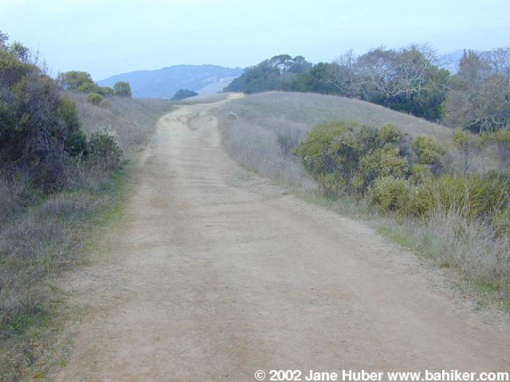
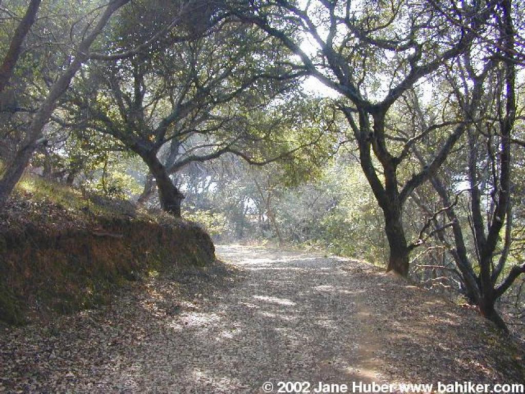
 Mission Pass Bike Path |
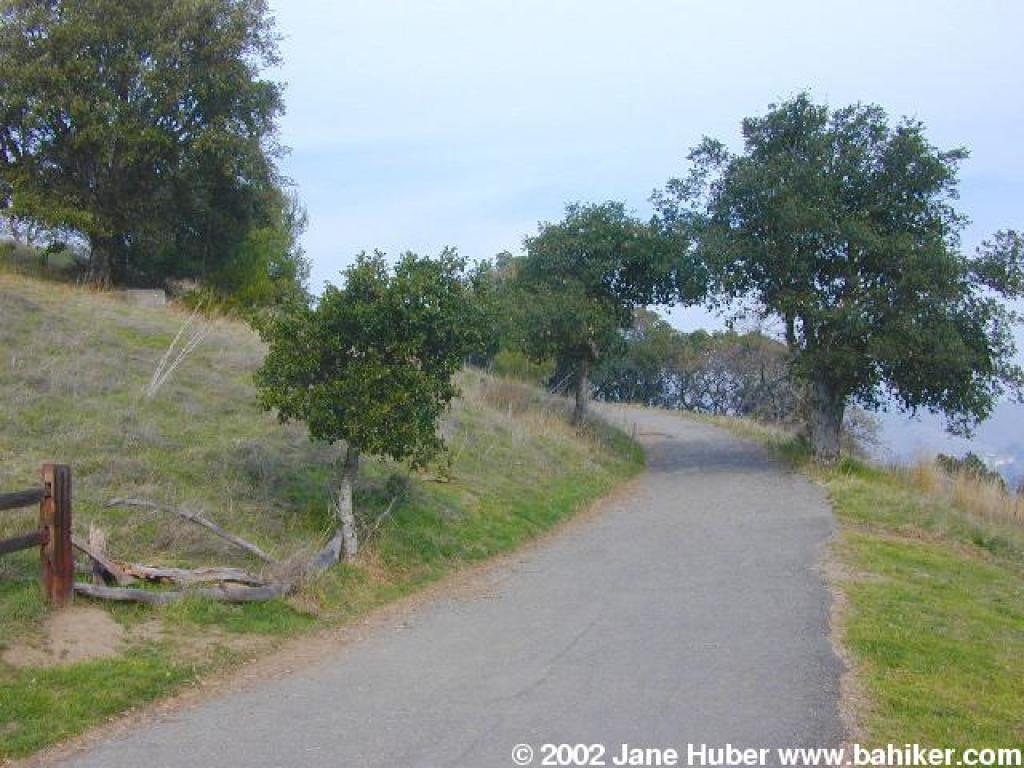
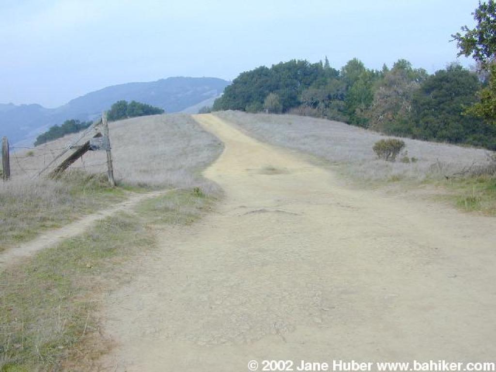
 Crest and junction |
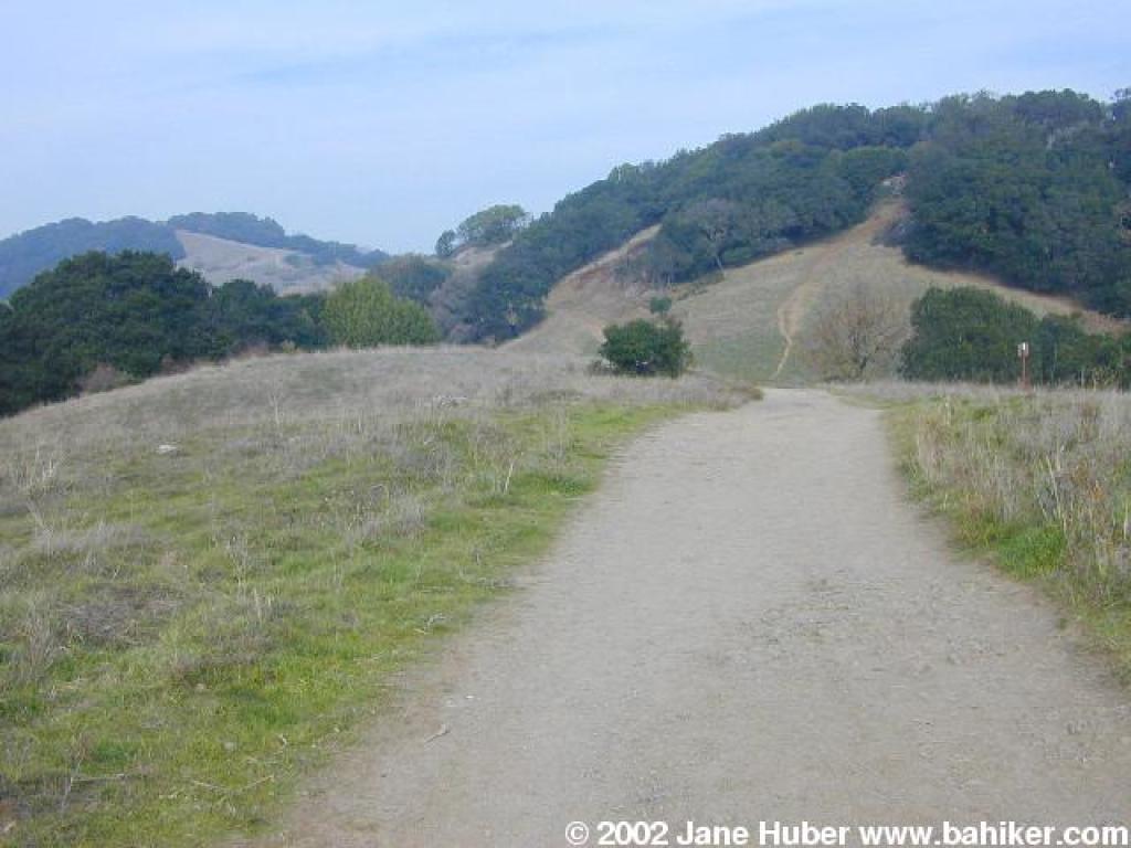
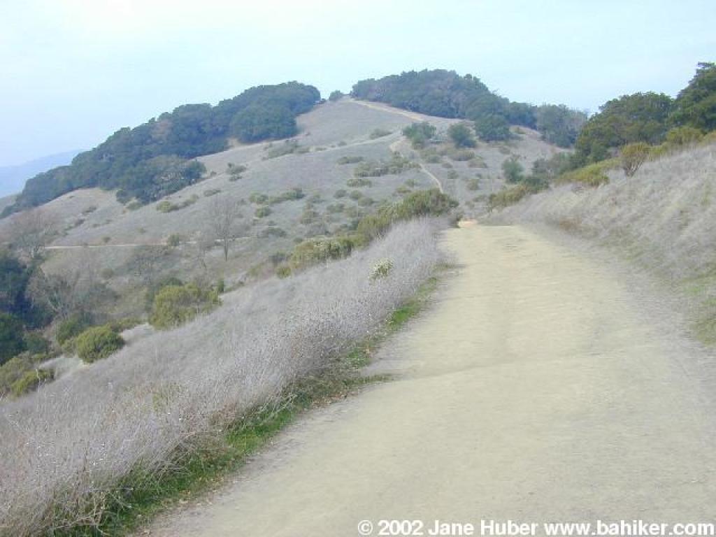
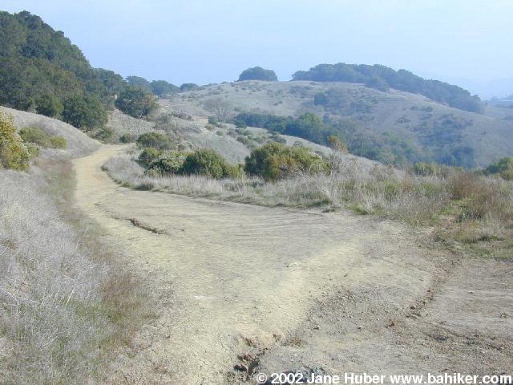
 Terra Linda Ridge Fire Road |
||||
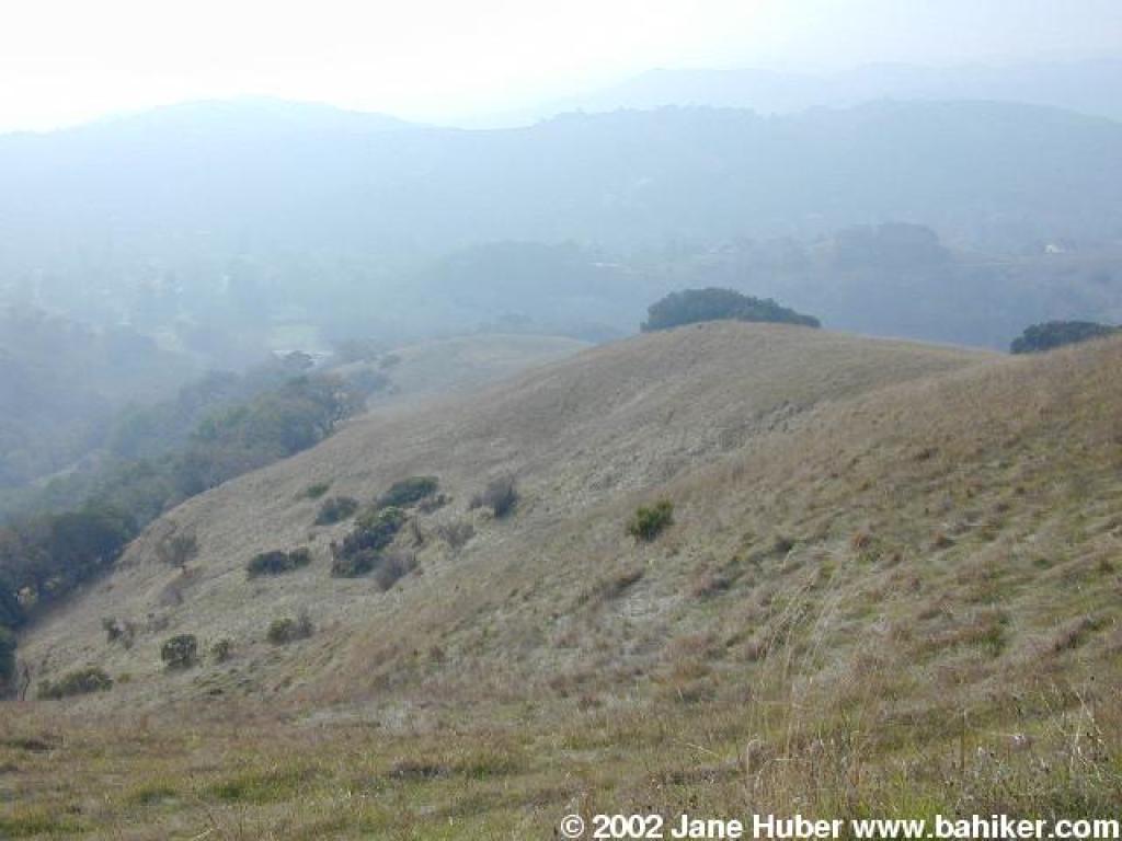
 Along the ridgeline |
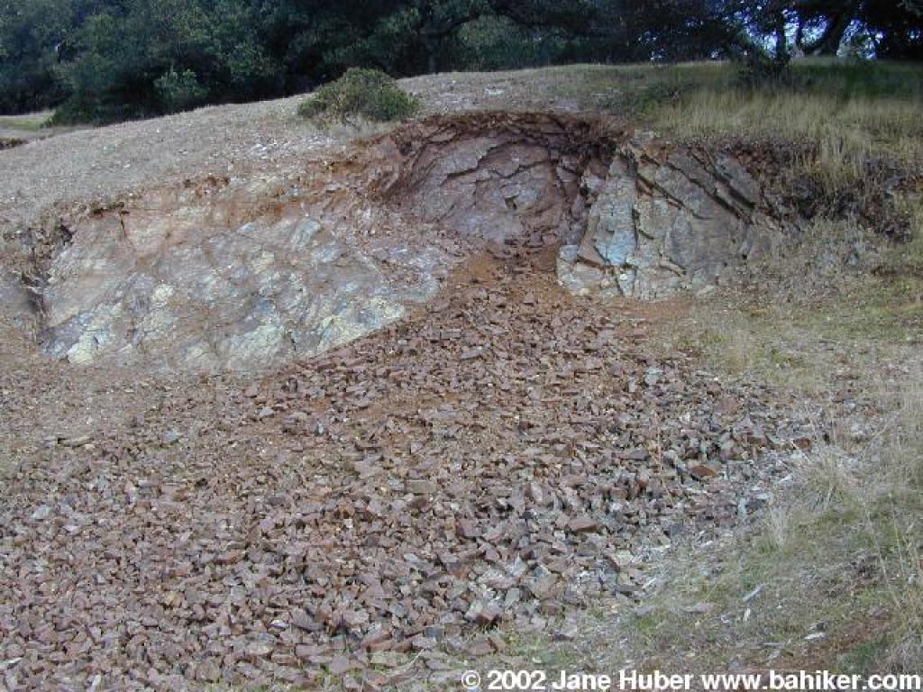 Rock pile |
 Approaching a junction |
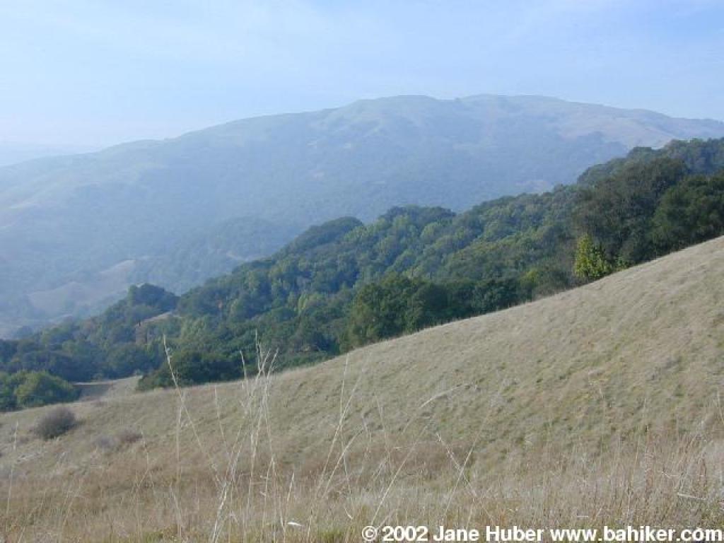
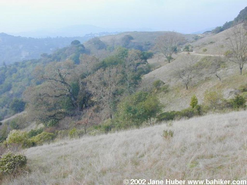 View west |
||||
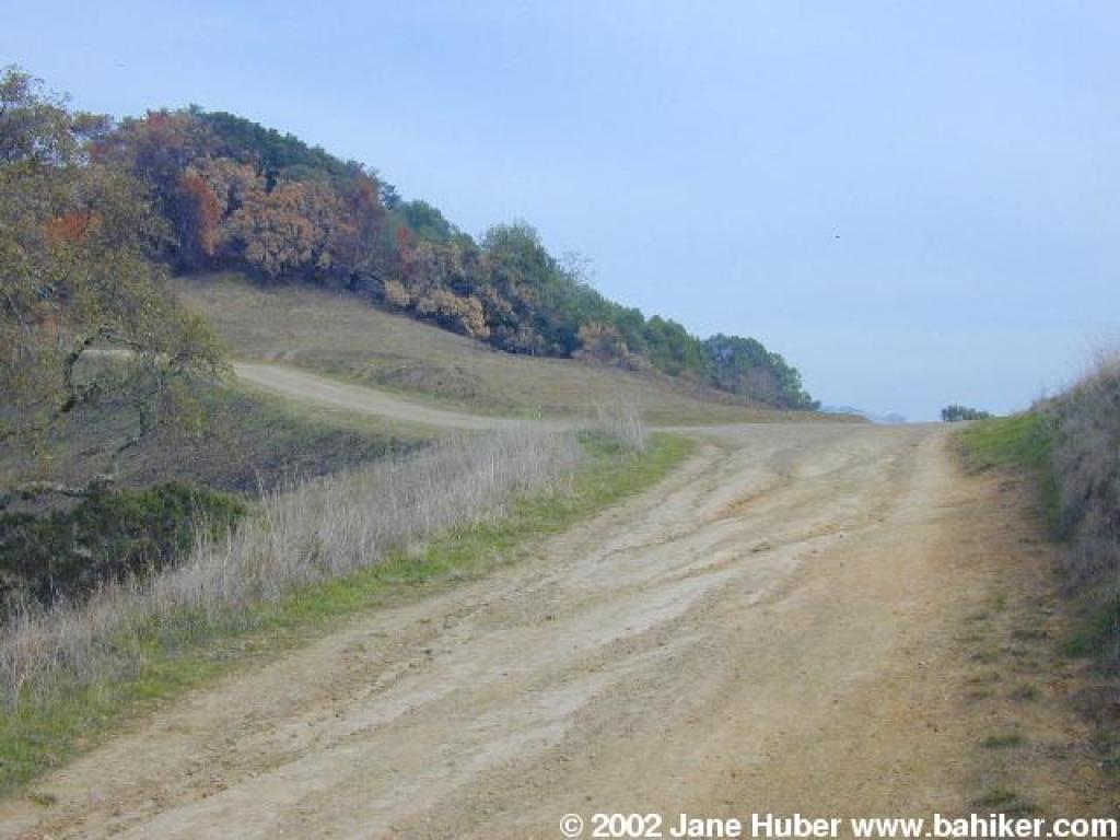
 Continuing on Terra Linda Ridge Fire Road, skirting a hill |
 Back on the ridgeline |
 Fire road |
 Downhill |
||||
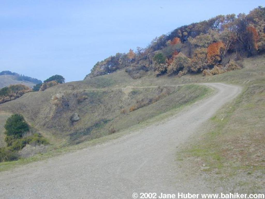
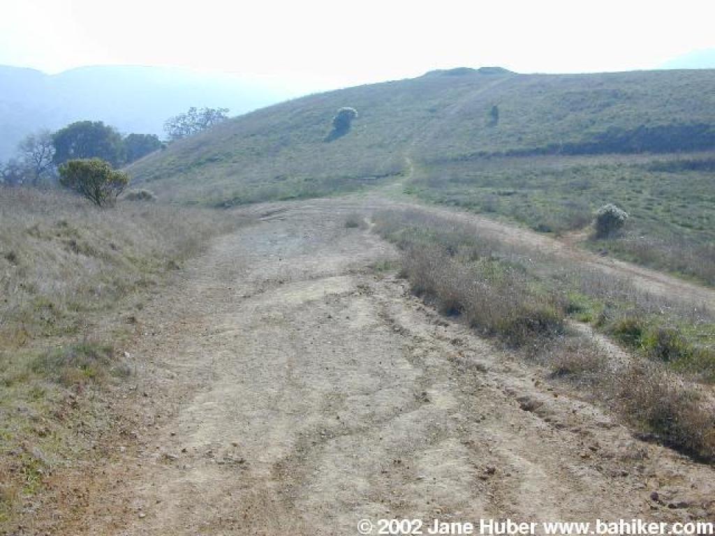
 Junction |
 Luiz Ranch Fire Road |
 Ascending |
 View west |
||||
 Preserve boundary |
 Loma Alta |
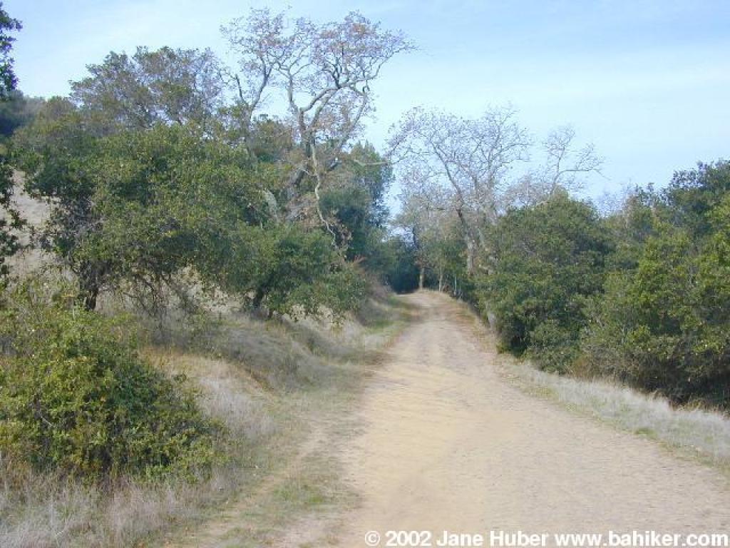
 A pocket of woods on Irving Fire Road |
 Junction |
||||
 Returning on Sleepy Hollow Fire Road |
Go to Bay Area Hiker Terra Linda/Sleepy Hollow Divide (north) page Go to Bay Area Hiker Home page |
||||||